22nd July 2019 - Low Bradley to Skipton Moor and back
Walk Details
Distance walked: 12.6 miles
Total ascent: 1696 ft
OS map used: OL21 - South Pennines
Time taken: 6 hrs
Route description: Low Bradley-Leeds and Liverpool Canal-Hamblethorpe-Crag Lane-Farnhill Moor-Kildwick Moor-Jackson's Lane-Delph Farm-Smoulden Farm-Cocklick Laithe-Kiln Hill Lane-Kit Lane-Walkers Lane-Silsden Moor-Cringles Lane-Parson's Lane-Crossbank Road-Dales High Way-Skipton Moor-Standard Crag-Millstone Hill-High Bradley-High Bradley Lane-Low Bradley
I've got the day off work so I've decided to make the most of it and head out for a walk, especially with the forecast being for a lovely summer's day. There aren't many South Pennine moors that I've not been to the top of in recent years and Skipton Moor is one of them, which has a certain irony about it as I've worked in Skipton for the past four years. This route that I've worked out will put that right and will also enable me to get to know this northern part of Rombalds Moor a bit better. Today is the first day of a spell of hot weather and I could already feel the heat and humidity in the air, even though there wasn't wall-to-wall sunshine. It was one of those few days when I'm grateful for a strong wind blowing across the moors.
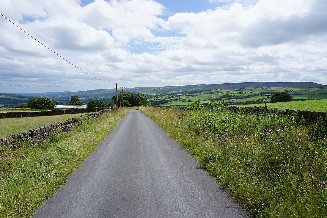
From the car park by New Bridge over the Leeds and Liverpool Canal at Low Bradley I set off by following the towpath south by the canal to Hamblethorp Bridge. I crossed the bridge and took the bridleway uphill to Crag Lane, then walked south along the lane and took the second public footpath on the left up through woodland to reach Jubilee Tower on Farnhill Moor. I then made my way northeast across the access land of Farnhill Moor and Kildwick Moor to take a footpath across fields to Jackson's Lane opposite Delph Farm, and after crossing the road I followed the footpath along the track past Delph Farm to Smoulden Farm. From Smoulden Farm where the track ended I took a footpath northeast across fields to Kiln Hill Lane. I then walked south along Kiln Hill Lane, turned left and followed Kit Lane northeast, through crossroads and onto Walkers Lane, which I soon left for a footpath on the right that took me east across Silsden Moor to Cringles Lane. After walking south along Cringles Lane to its junction with Back Lane I left the road for a bridleway east across the moor to the track of Parson's Lane and then to Crossbank Road. I then turned left and walked north, then northwest up Crossbank Road (part of the trail of the Dales High Way), and at the road end carried on following the trail west along the bridleway past Draughton Moor, across Height Lane, and then along the northern slopes of Skipton Moor. When the trail reached a gate on the left between two patches of woodland I went through and climbed the path up to the summit of Skipton Moor. After taking in the view I made my way south to Standard Crag and onto the footpath southeast to Millstone Hill and High Bradley Moor, where I took the footpath down to High Bradley. I then walked down High Bradley Lane to Low Bradley and through the village to the car park by the canal.
Total ascent: 1696 ft
OS map used: OL21 - South Pennines
Time taken: 6 hrs
Route description: Low Bradley-Leeds and Liverpool Canal-Hamblethorpe-Crag Lane-Farnhill Moor-Kildwick Moor-Jackson's Lane-Delph Farm-Smoulden Farm-Cocklick Laithe-Kiln Hill Lane-Kit Lane-Walkers Lane-Silsden Moor-Cringles Lane-Parson's Lane-Crossbank Road-Dales High Way-Skipton Moor-Standard Crag-Millstone Hill-High Bradley-High Bradley Lane-Low Bradley
I've got the day off work so I've decided to make the most of it and head out for a walk, especially with the forecast being for a lovely summer's day. There aren't many South Pennine moors that I've not been to the top of in recent years and Skipton Moor is one of them, which has a certain irony about it as I've worked in Skipton for the past four years. This route that I've worked out will put that right and will also enable me to get to know this northern part of Rombalds Moor a bit better. Today is the first day of a spell of hot weather and I could already feel the heat and humidity in the air, even though there wasn't wall-to-wall sunshine. It was one of those few days when I'm grateful for a strong wind blowing across the moors.
From the car park by New Bridge over the Leeds and Liverpool Canal at Low Bradley I set off by following the towpath south by the canal to Hamblethorp Bridge. I crossed the bridge and took the bridleway uphill to Crag Lane, then walked south along the lane and took the second public footpath on the left up through woodland to reach Jubilee Tower on Farnhill Moor. I then made my way northeast across the access land of Farnhill Moor and Kildwick Moor to take a footpath across fields to Jackson's Lane opposite Delph Farm, and after crossing the road I followed the footpath along the track past Delph Farm to Smoulden Farm. From Smoulden Farm where the track ended I took a footpath northeast across fields to Kiln Hill Lane. I then walked south along Kiln Hill Lane, turned left and followed Kit Lane northeast, through crossroads and onto Walkers Lane, which I soon left for a footpath on the right that took me east across Silsden Moor to Cringles Lane. After walking south along Cringles Lane to its junction with Back Lane I left the road for a bridleway east across the moor to the track of Parson's Lane and then to Crossbank Road. I then turned left and walked north, then northwest up Crossbank Road (part of the trail of the Dales High Way), and at the road end carried on following the trail west along the bridleway past Draughton Moor, across Height Lane, and then along the northern slopes of Skipton Moor. When the trail reached a gate on the left between two patches of woodland I went through and climbed the path up to the summit of Skipton Moor. After taking in the view I made my way south to Standard Crag and onto the footpath southeast to Millstone Hill and High Bradley Moor, where I took the footpath down to High Bradley. I then walked down High Bradley Lane to Low Bradley and through the village to the car park by the canal.
Route map
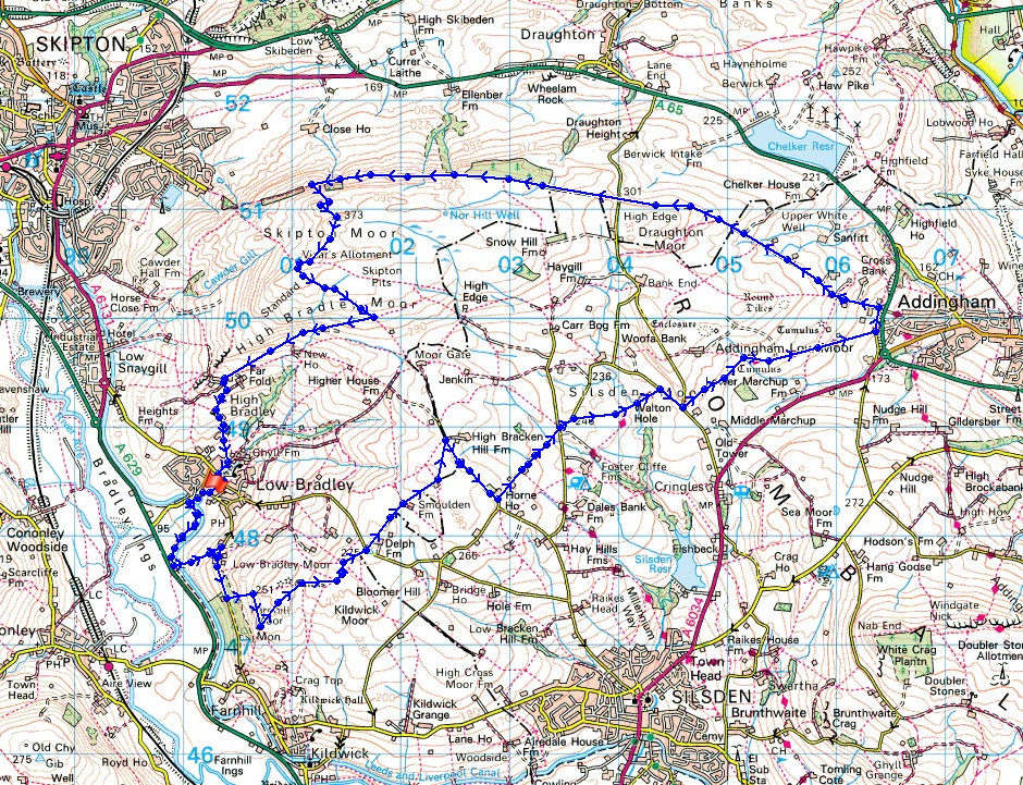
© Crown copyright. All rights reserved. License number PU 100034184.
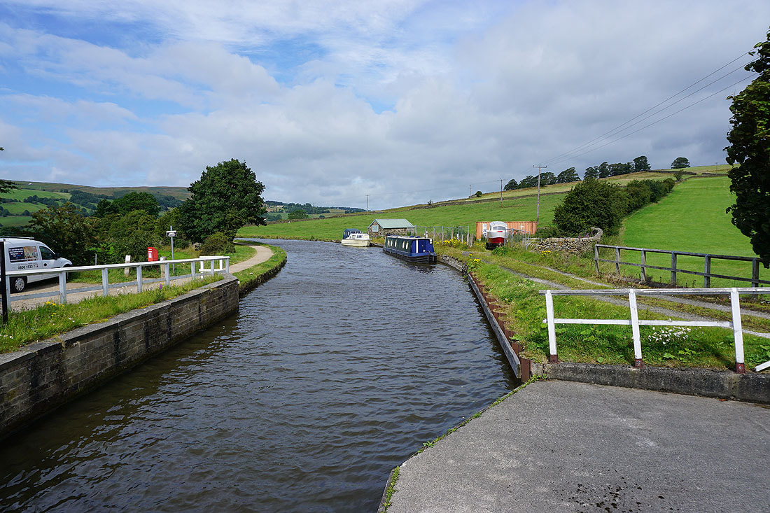
By the Leeds and Liverpool Canal at Low Bradley
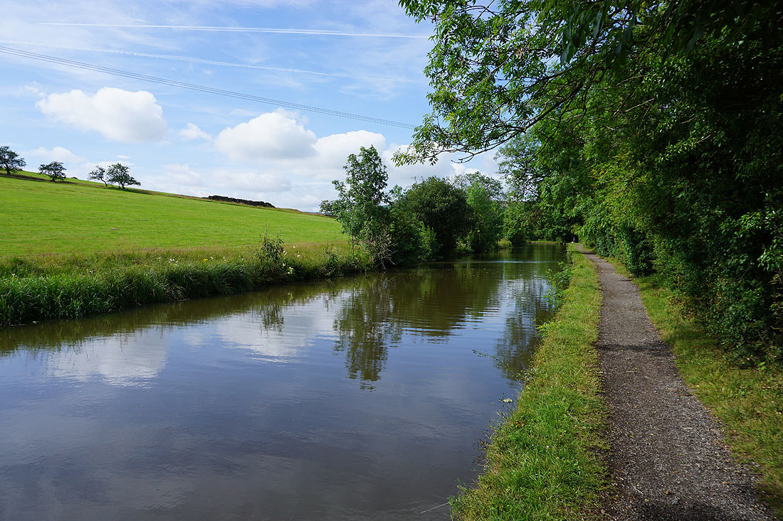
Following the towpath south towards Farnhill
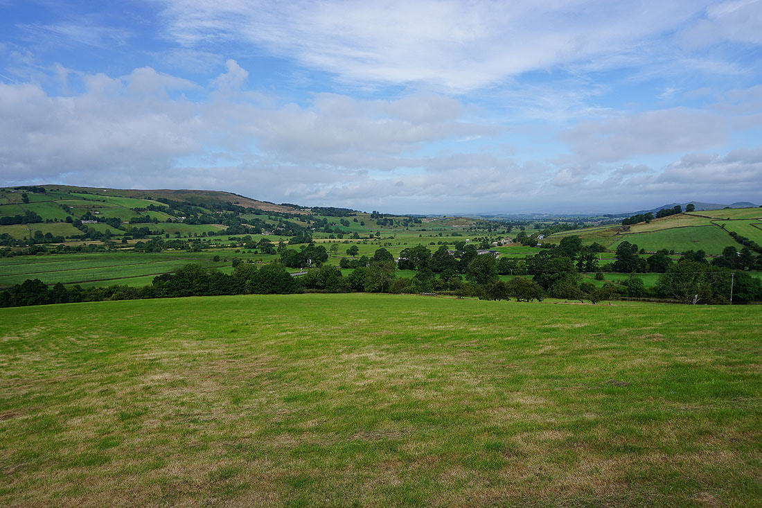
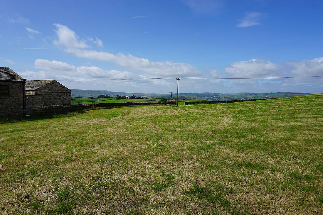
I left the canal behind when I crossed Hamblethorp Bridge and took the bridleway up to the road between Low Bradley and Farnhill. Airedale as I head uphill.
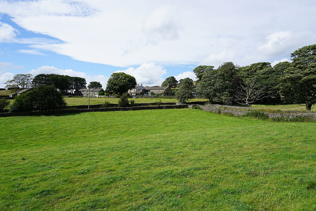
and the village of Low Bradley to the north
The village of Cononley on the other side of Airedale
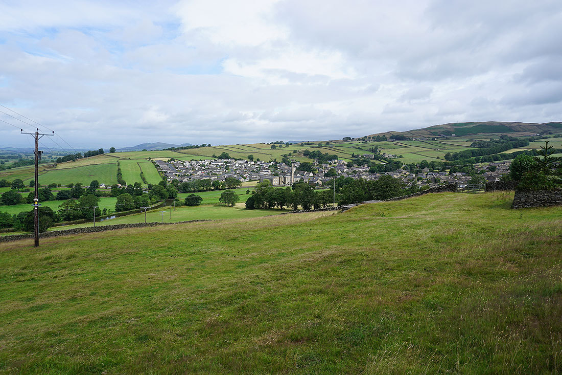
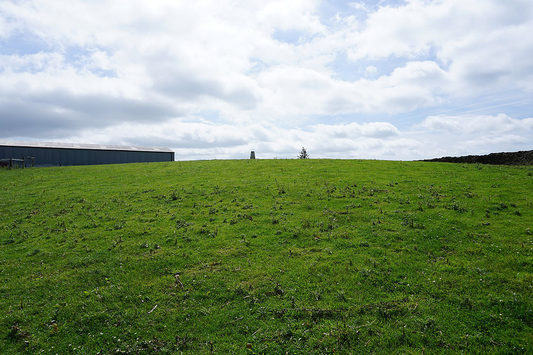
After a walk south along the lane and a climb up a path I've arrived at Jubilee Tower on Farnhill Moor
Skipton backed by Sharp Haw and Rough Haw through a gap in the trees
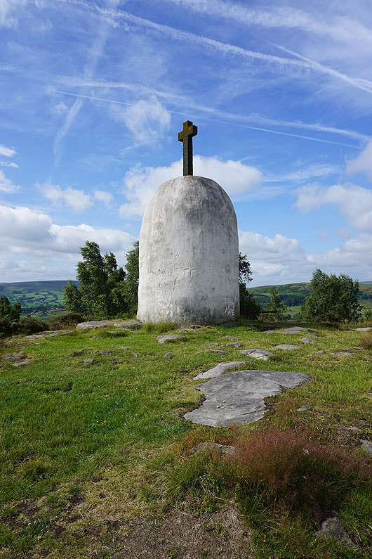
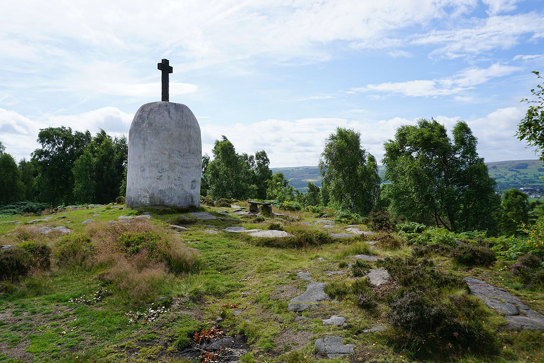
Summer skies above the monument
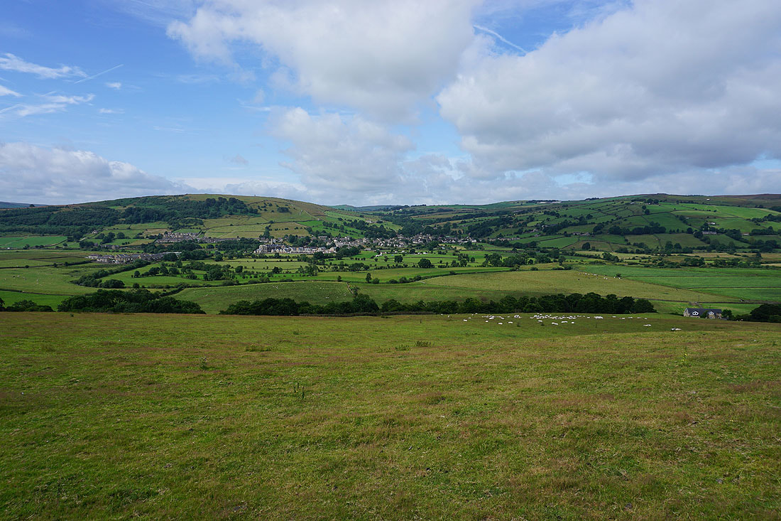
Looking across Airedale from Farnhill Moor to the moors to the south of Cowling on the left and those around Lotherdale on the right
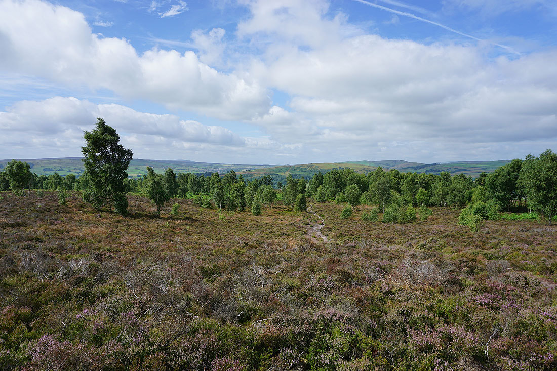
Heading east to Kildwick Moor
Bell heather in flower
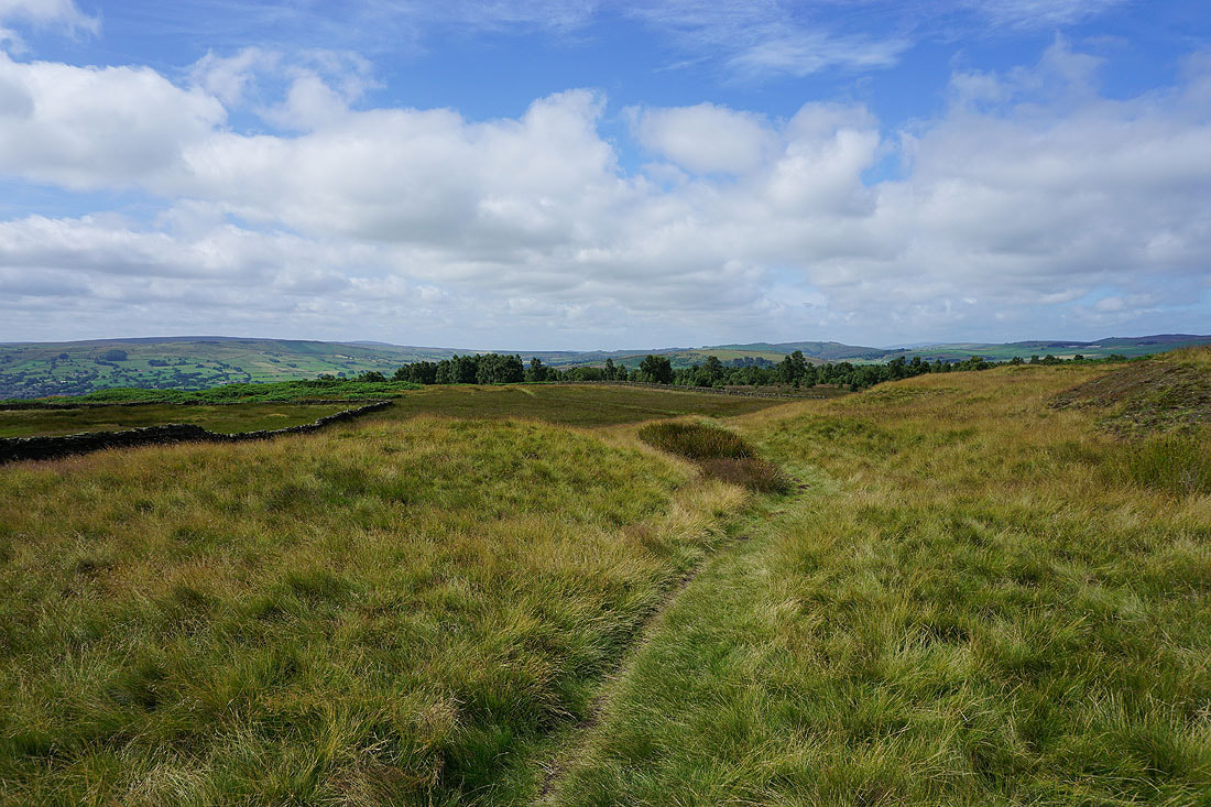
Looking back to Farnhill Moor from Kildwick Moor
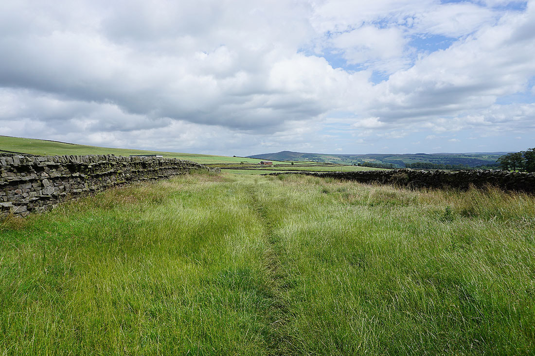
There's no mistaking the line that the footpath takes across this field towards Jackson's Lane
Looking back to the moors on the other side of Airedale
and north to Skipton Moor
The Delph Farm trig point. No access to it with it being on private land.
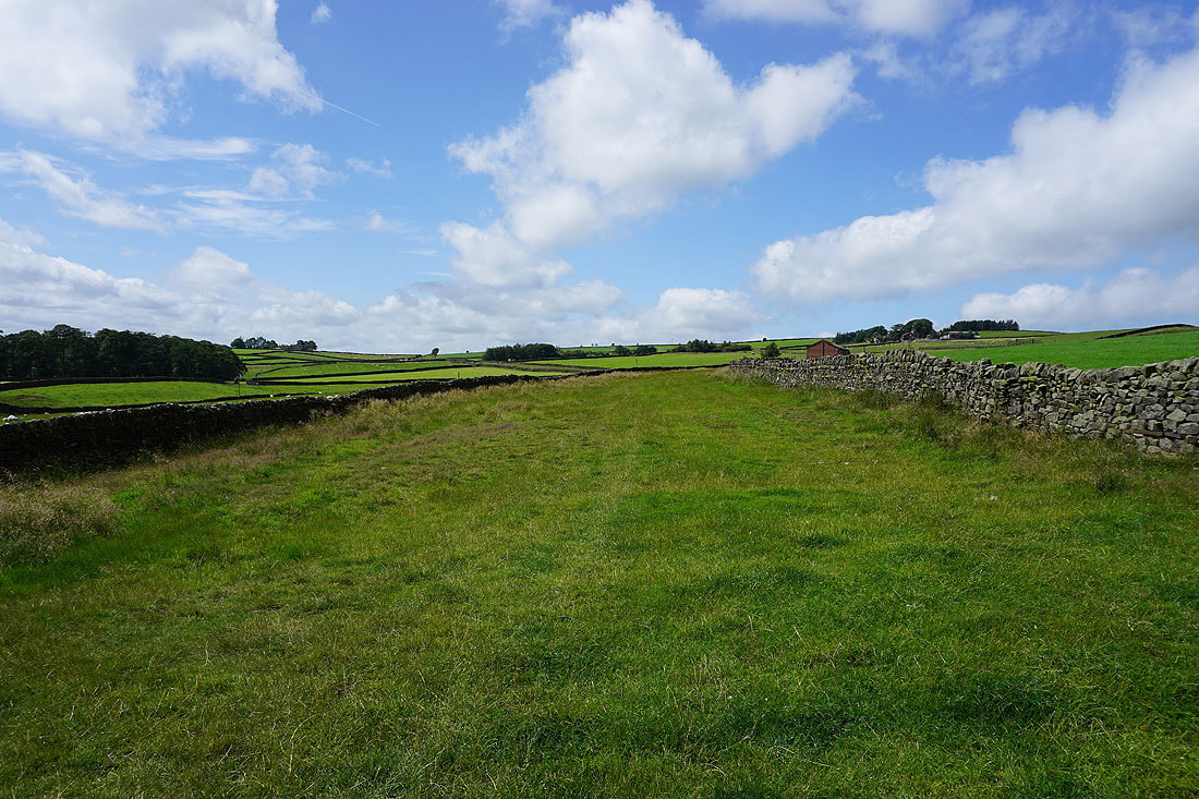
The view back across Airedale from the path past Cocklick Laithe
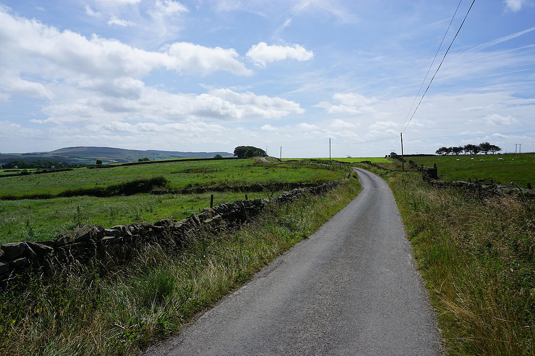
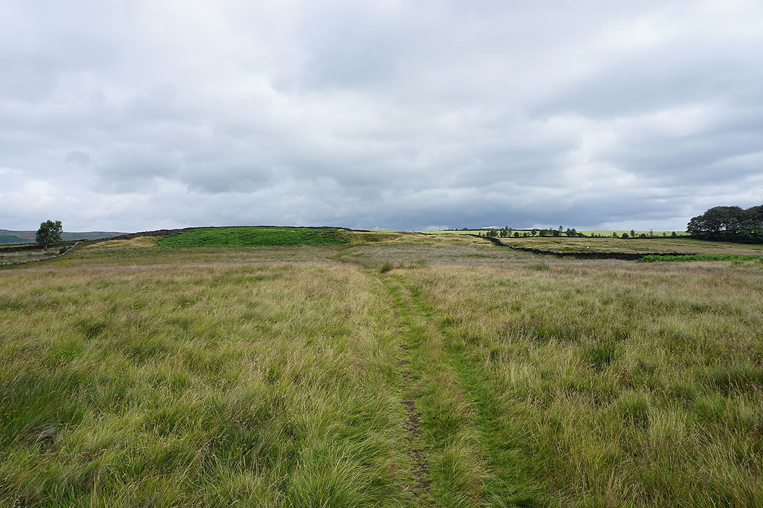
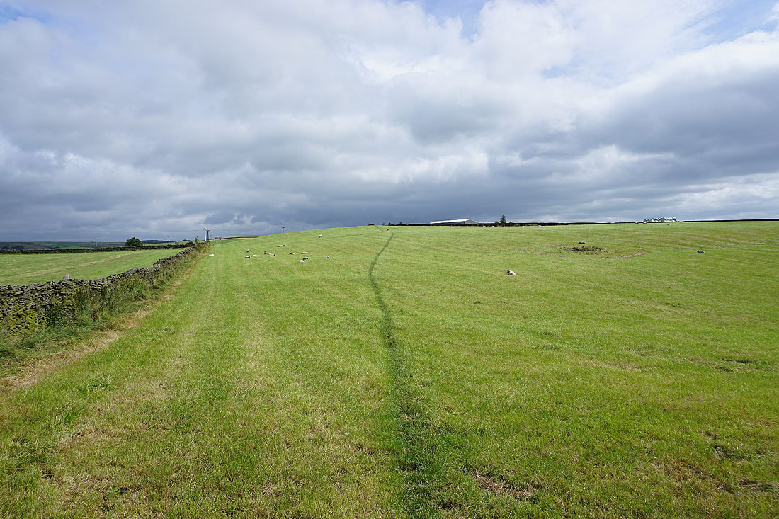
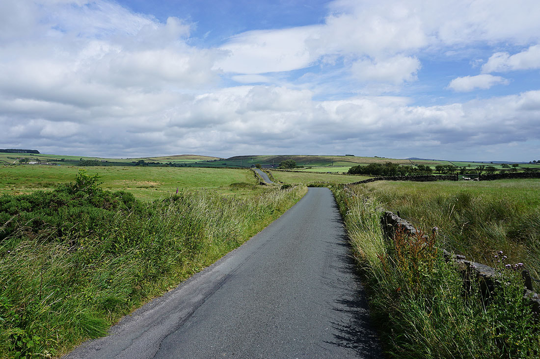
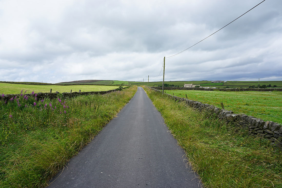
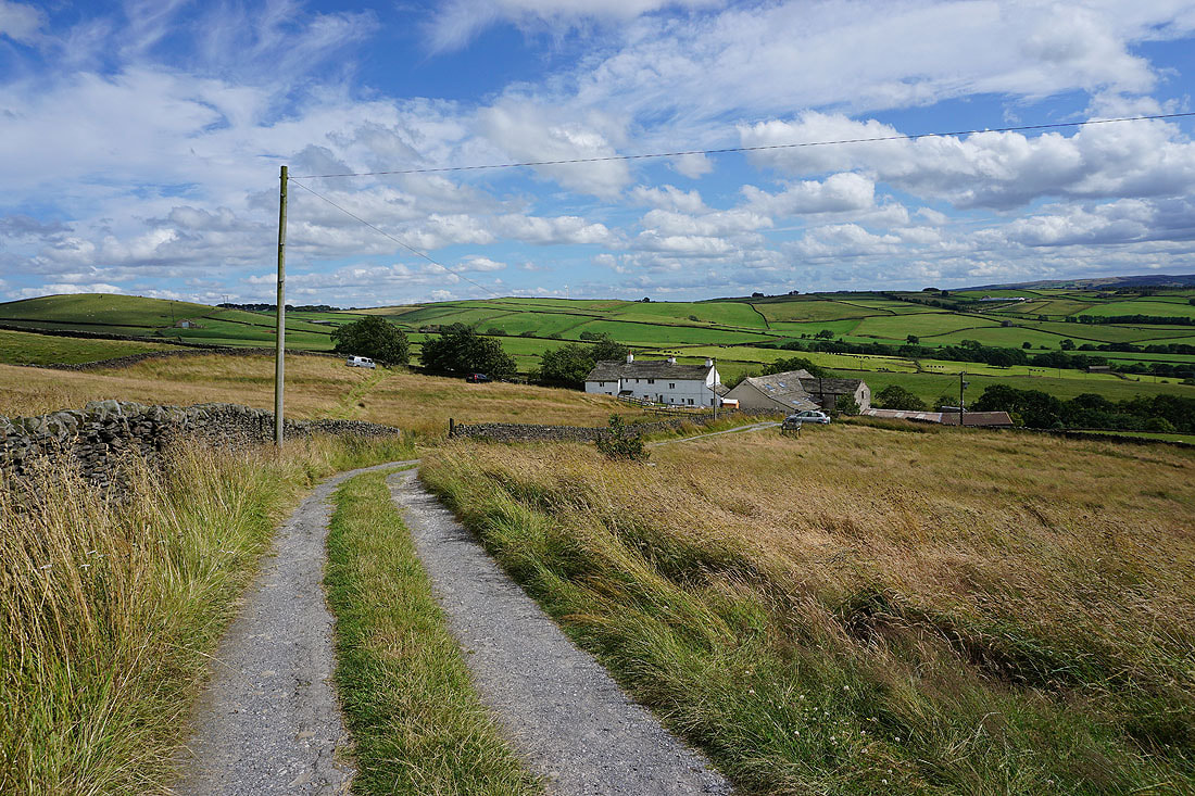
Heading south along Kiln Hill Lane. The first of a few roads that I'll be walking along.
Steeton Moor to the south
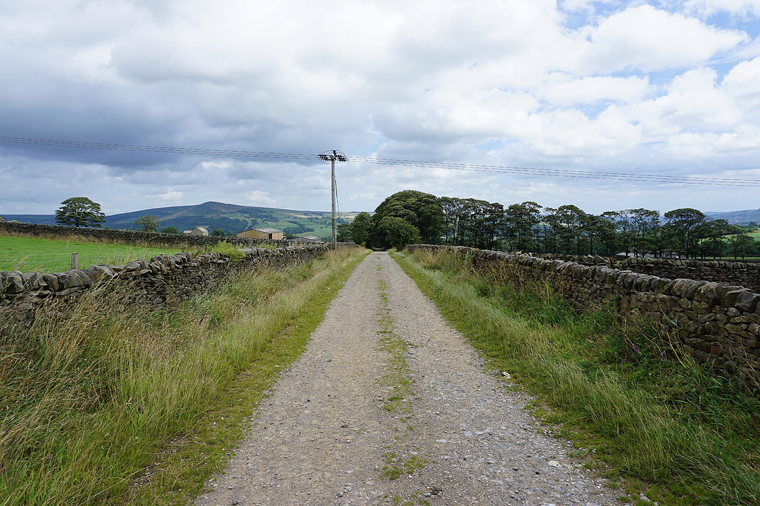
Walking along Kit Lane
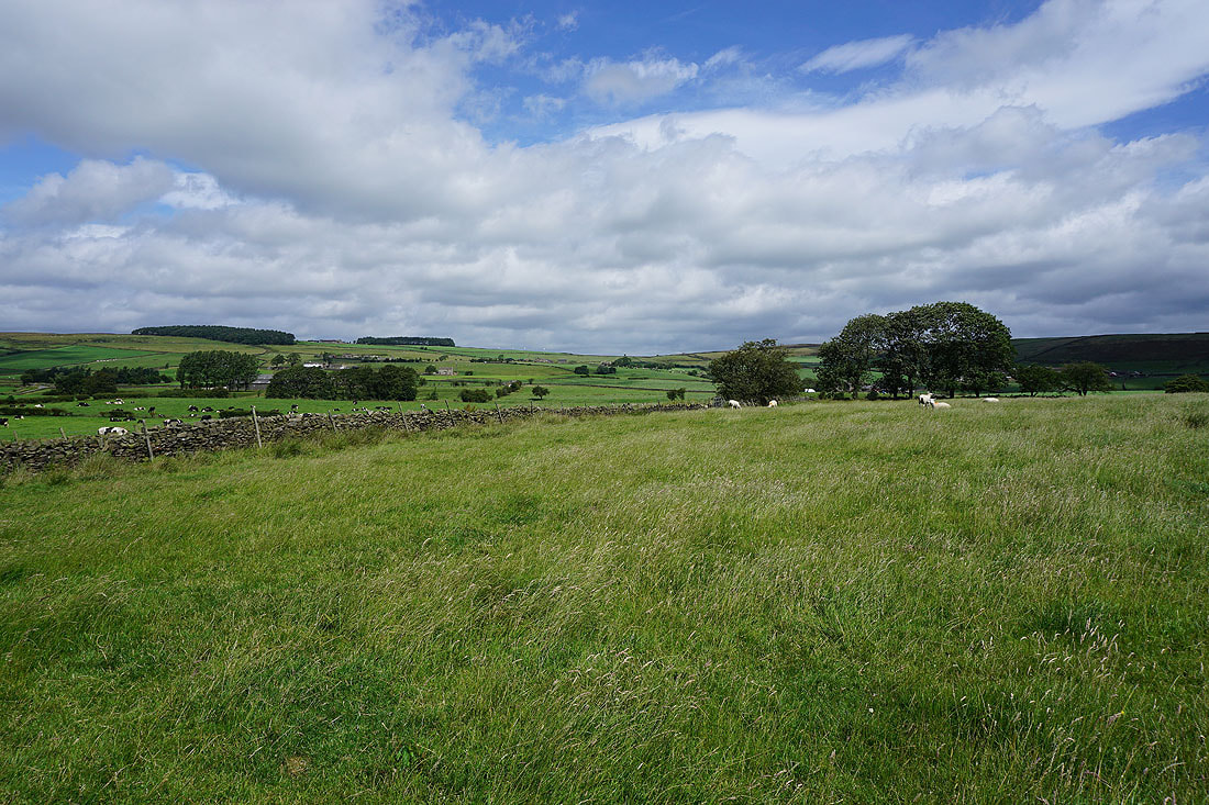
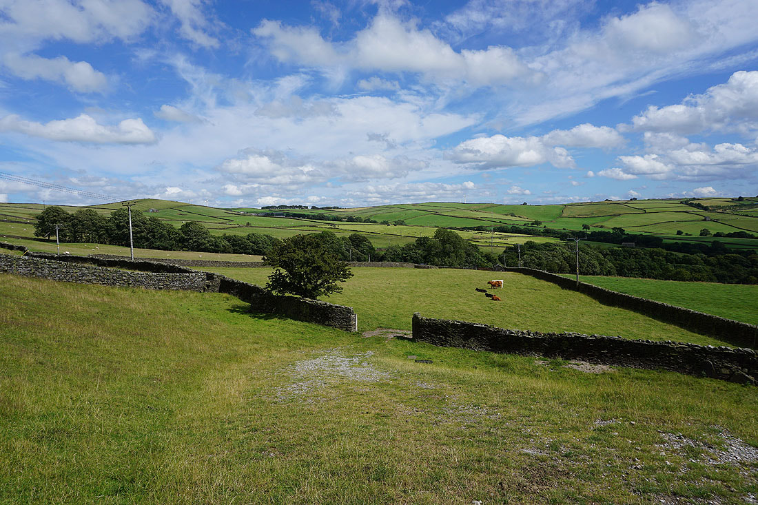
Pastoral scenery on a summer's day

I've left the roads behind for the time being for a footpath across Silsden Moor to Cringles Lane
Looking north along Cringles Lane to Skipton Moor
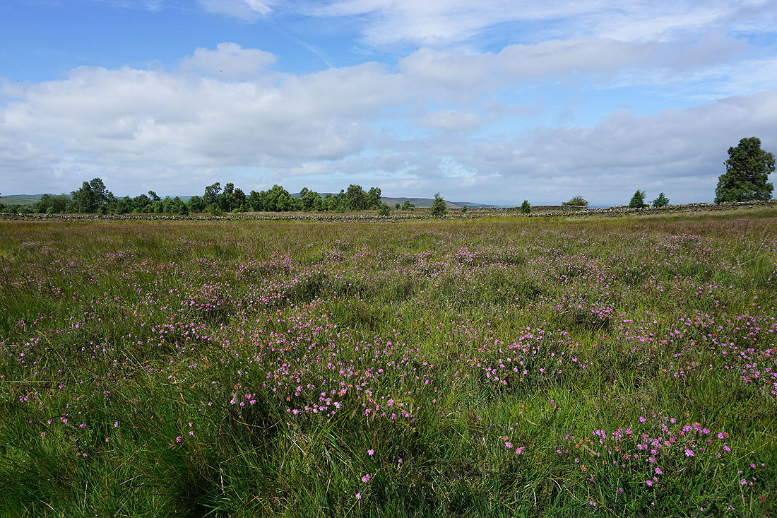
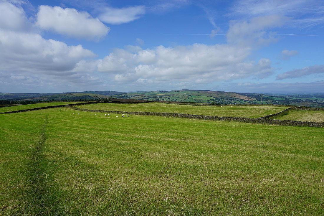
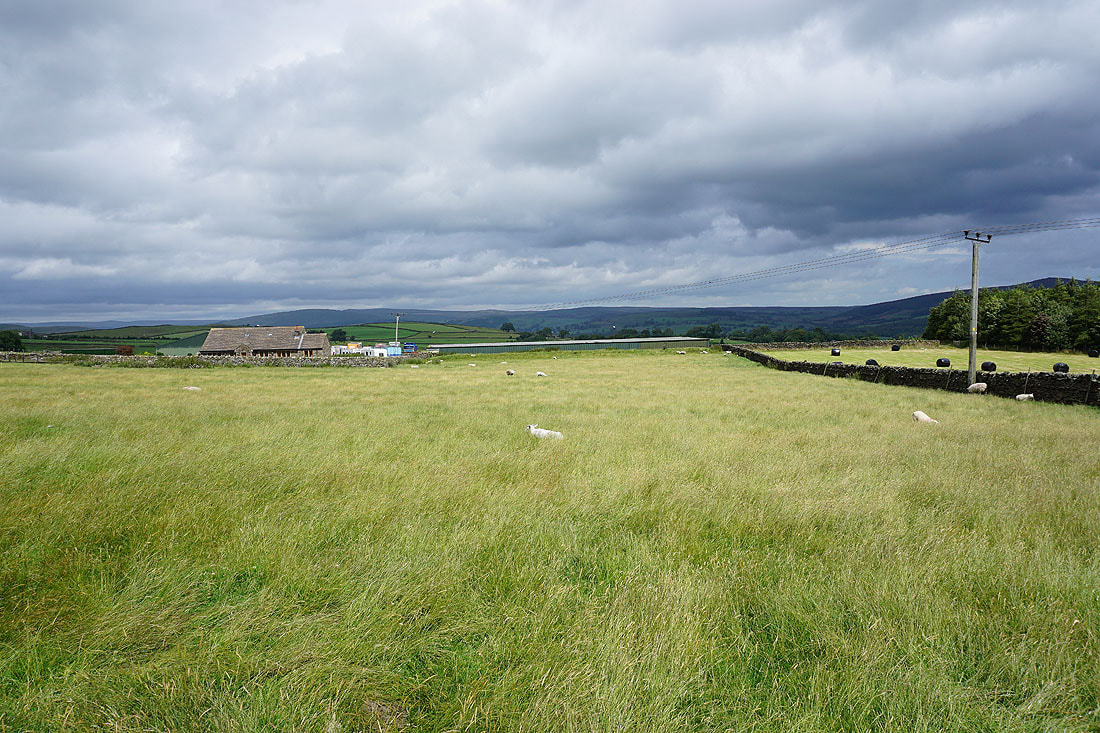
The pastures of Silsden Moor
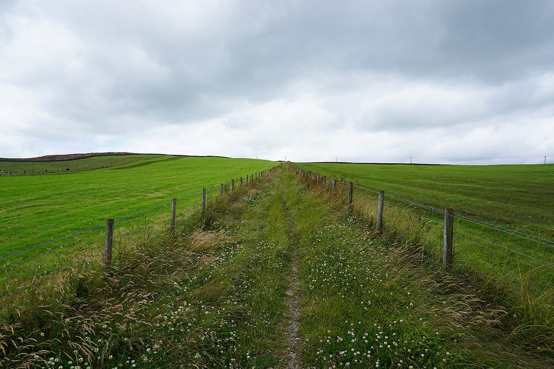
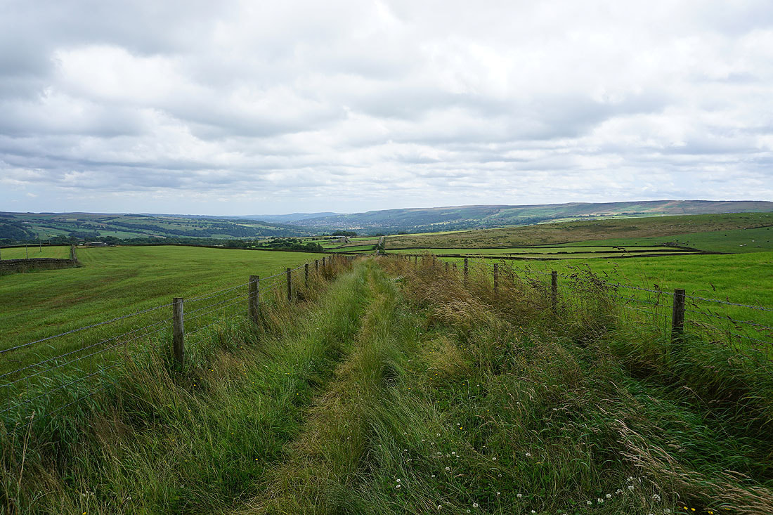
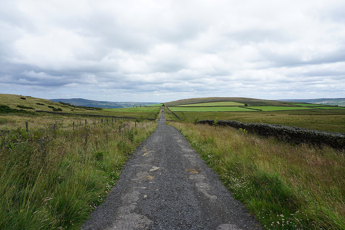
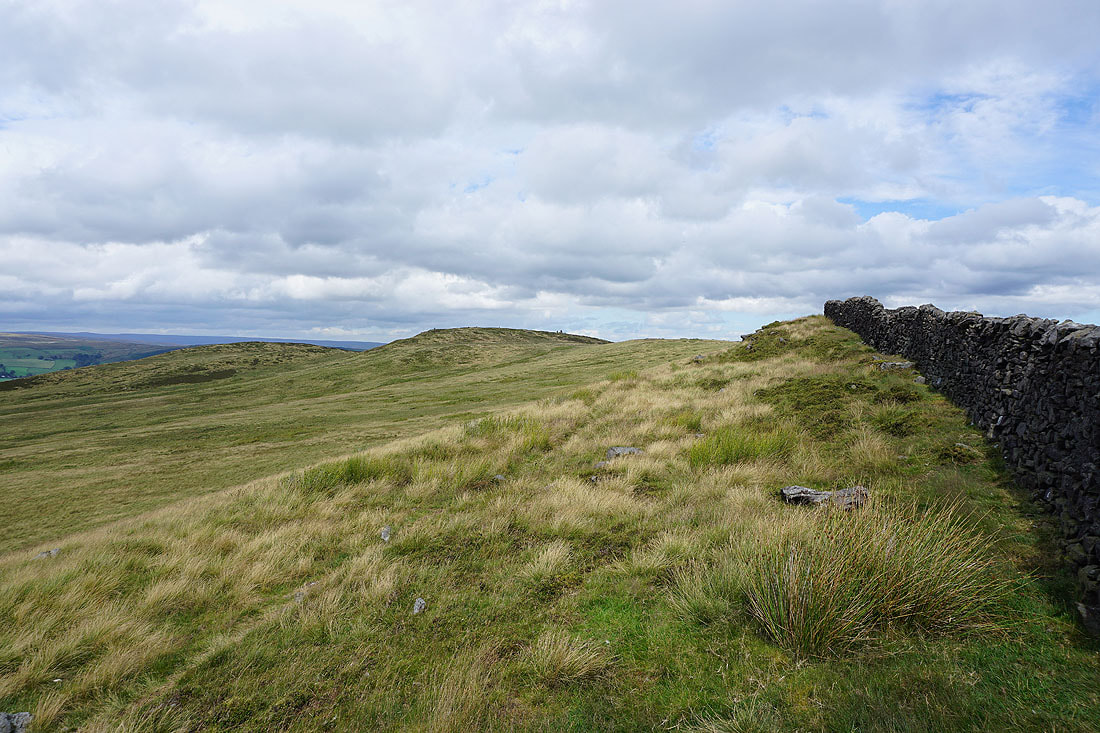
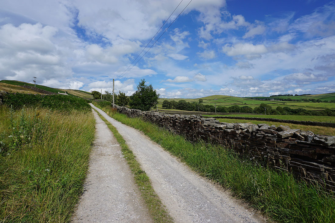
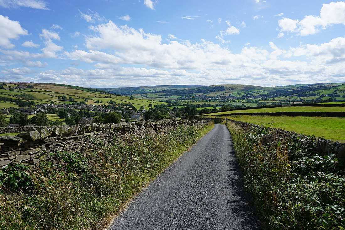
I leave Cringles Lane for a bridleway east to the track of Parson's Lane. I've been on a few green lanes during recent years and I'm in no doubt that this one is the widest that I've had the pleasure of walking along. You could march an army along it.
Looking back along the bridleway
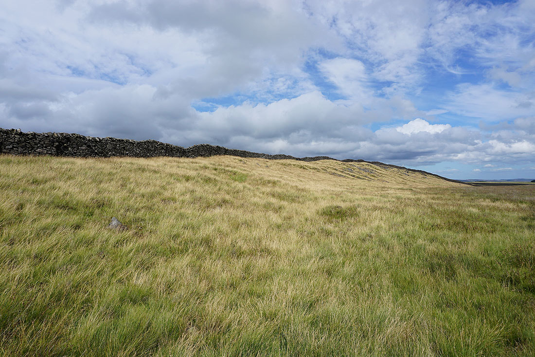
Heading east along the track of Parson's Lane
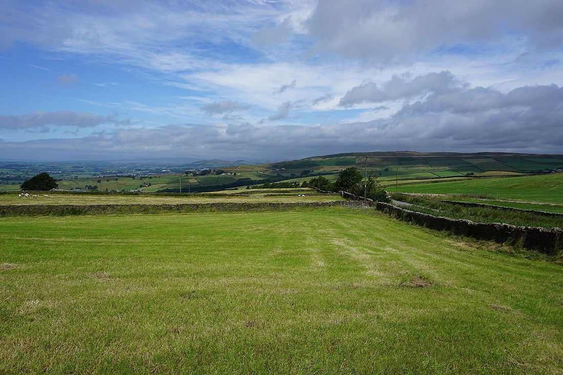
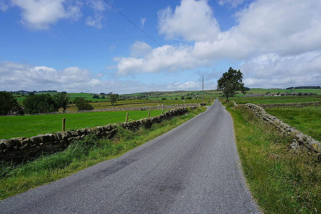
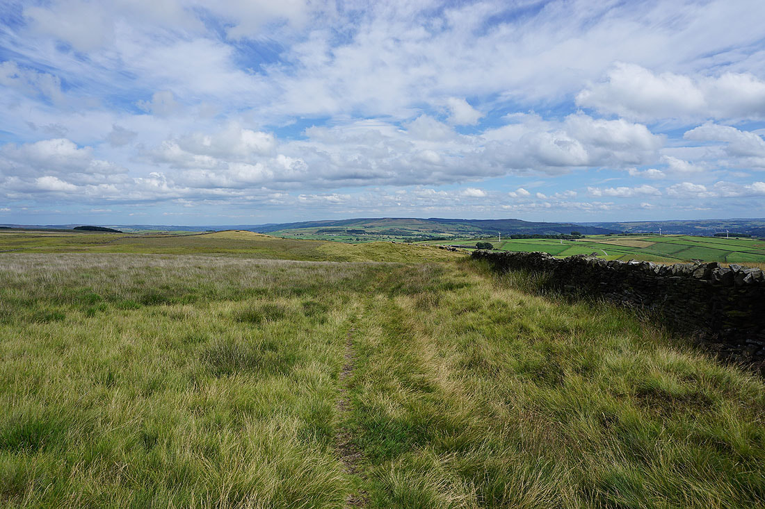
Barden Fell to the north as I follow the trail of the Dales High Way west up Crossbank Road
Ilkley Moor in the distance behind me
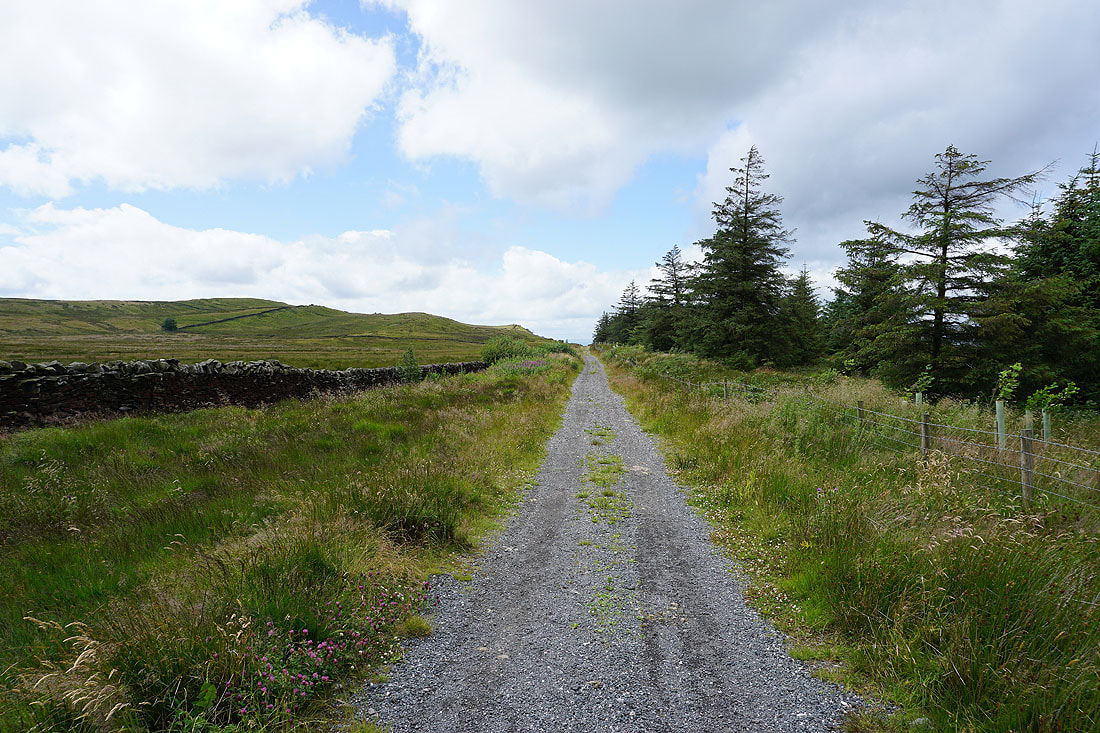
Heading for Draughton Moor
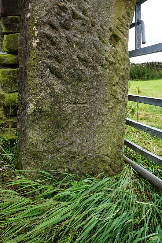
OS benchmark on a gatepost at the road's end
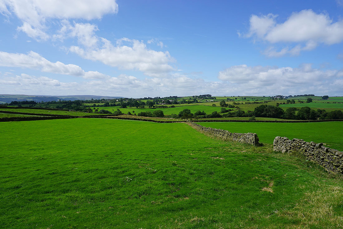
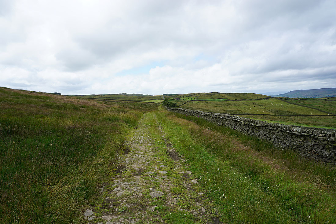
On the bridleway across Draughton Moor, which is still part of the Dales High Way trail
Looking back to Wharfedale, Ilkley and Ilkley Moor
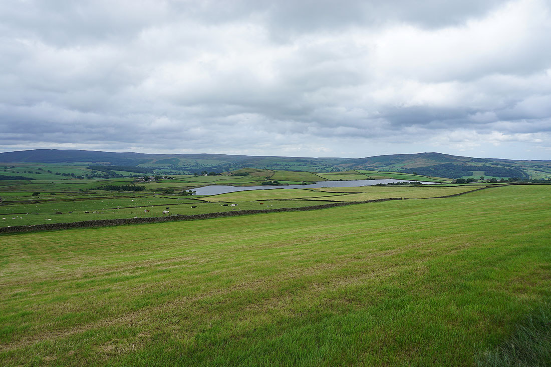
Barden Fell, Chelker Reservoir and Beamsley Beacon
I can see the knobbly top of Skipton Moor in the distance to the west
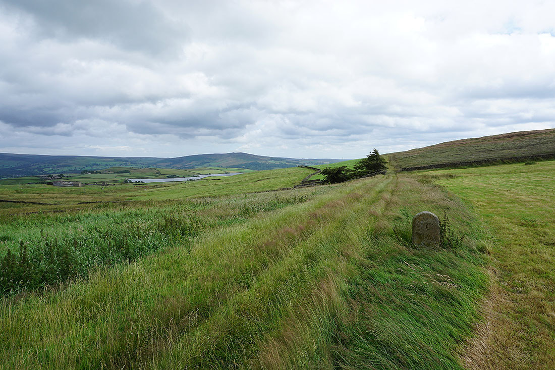
Chelker Reservoir, Beamsley Beacon and a boundary stone as I reach Height Lane
Looking back to Draughton Moor from the bridleway after crossing Height Lane
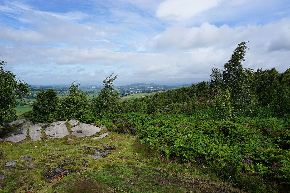
I carry on following the Dales High Way west until the view opens out and the town of Skipton appears below..
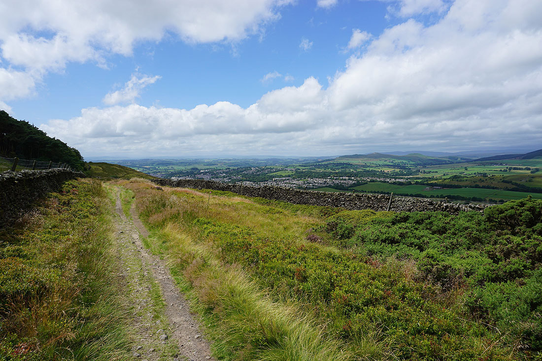
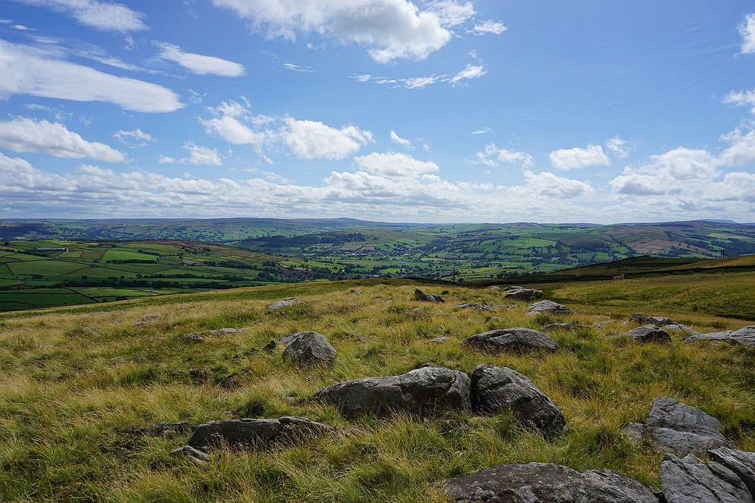
After a short but steep climb from the Dales High Way I reach a small crag just to the north of the summit of Skipton Moor. There's a great view from it with Skipton below and the hills of the Forest of Bowland way in the distance.
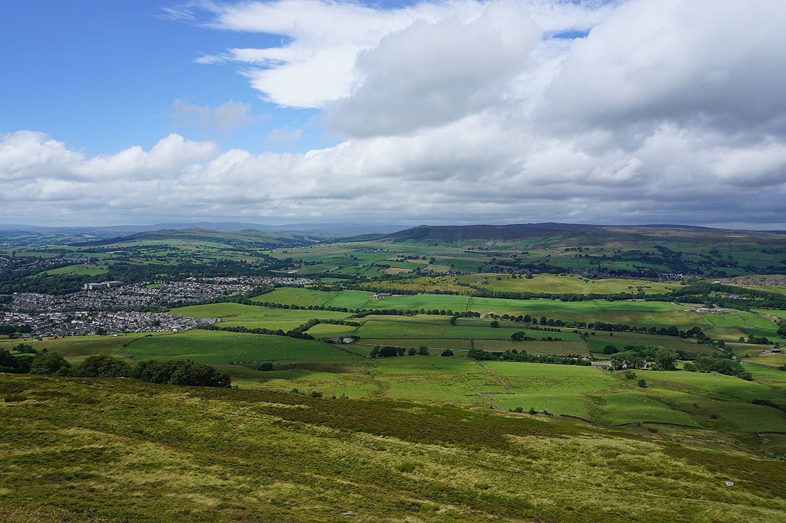
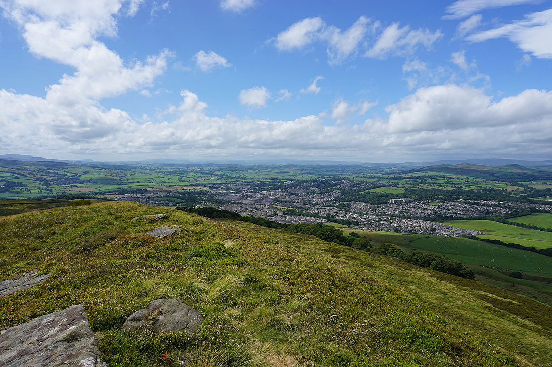
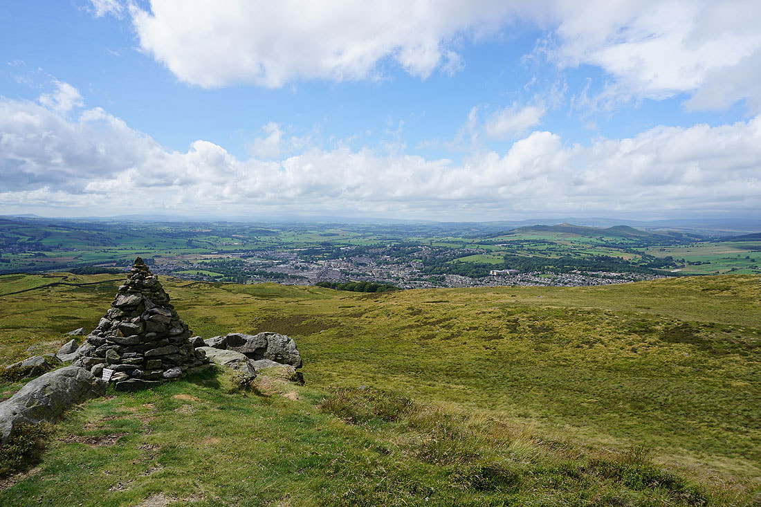
Skipton, Sharp Haw, Rough Haw and Barden Moor
The summit and trig point is just a short distance away
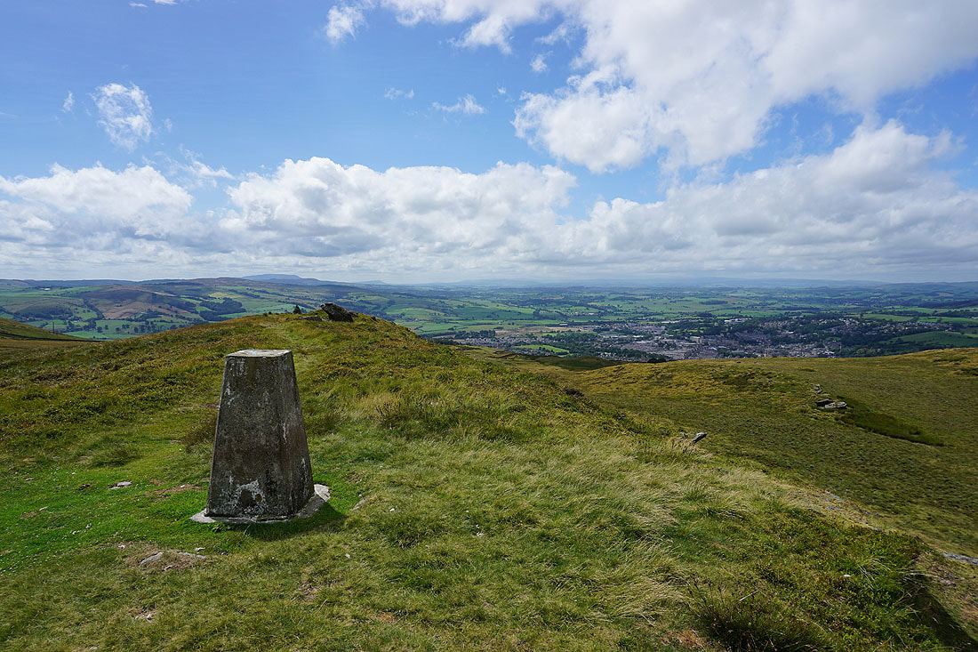
Just a few minutes later and I'm there. The top of Pendle Hill above Pinhaw Beacon and Weets Hill on the left, Skipton below and the Forest of Bowland in the distance on the right.
Sharp Haw, Rough Haw, Barden Moor and Embsay
Barden Fell and Beamsley Beacon
Ilkley Moor in the distance
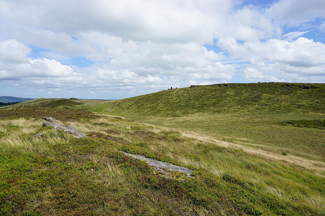
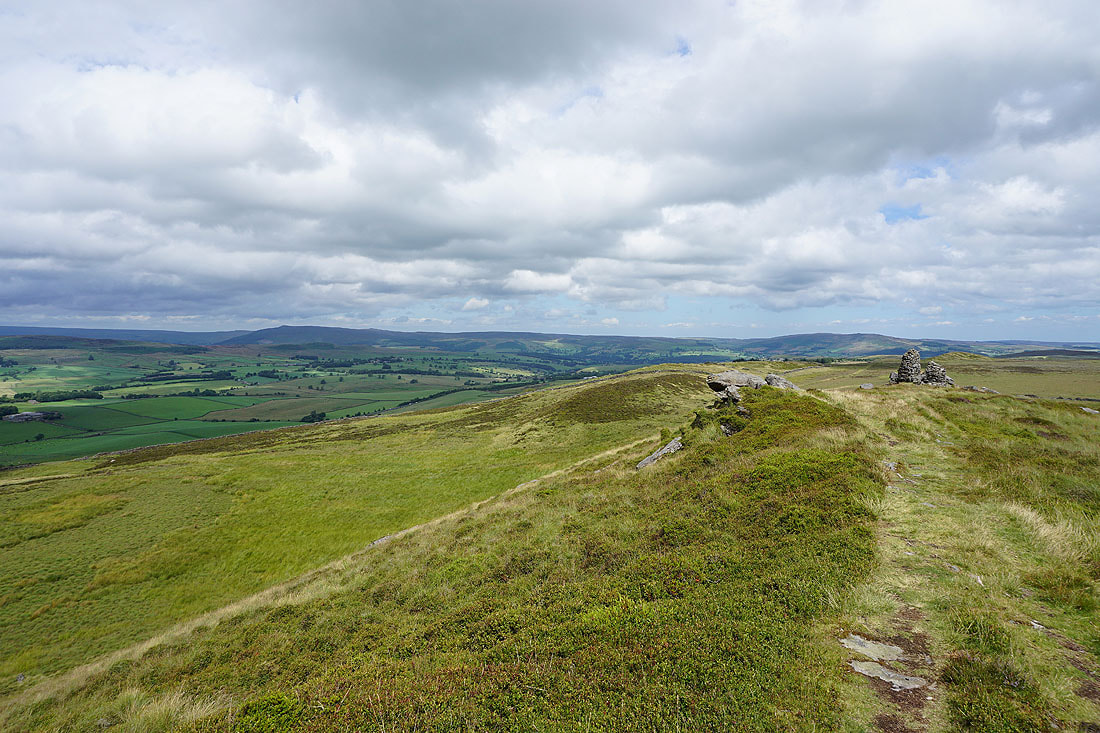
Ickornshaw Moor and Boulsworth Hill in the distance with the hills around Airedale beyond the nearby Standard Crag
A final shot from the summit from a cairn at its western end of that fantastic view to the west
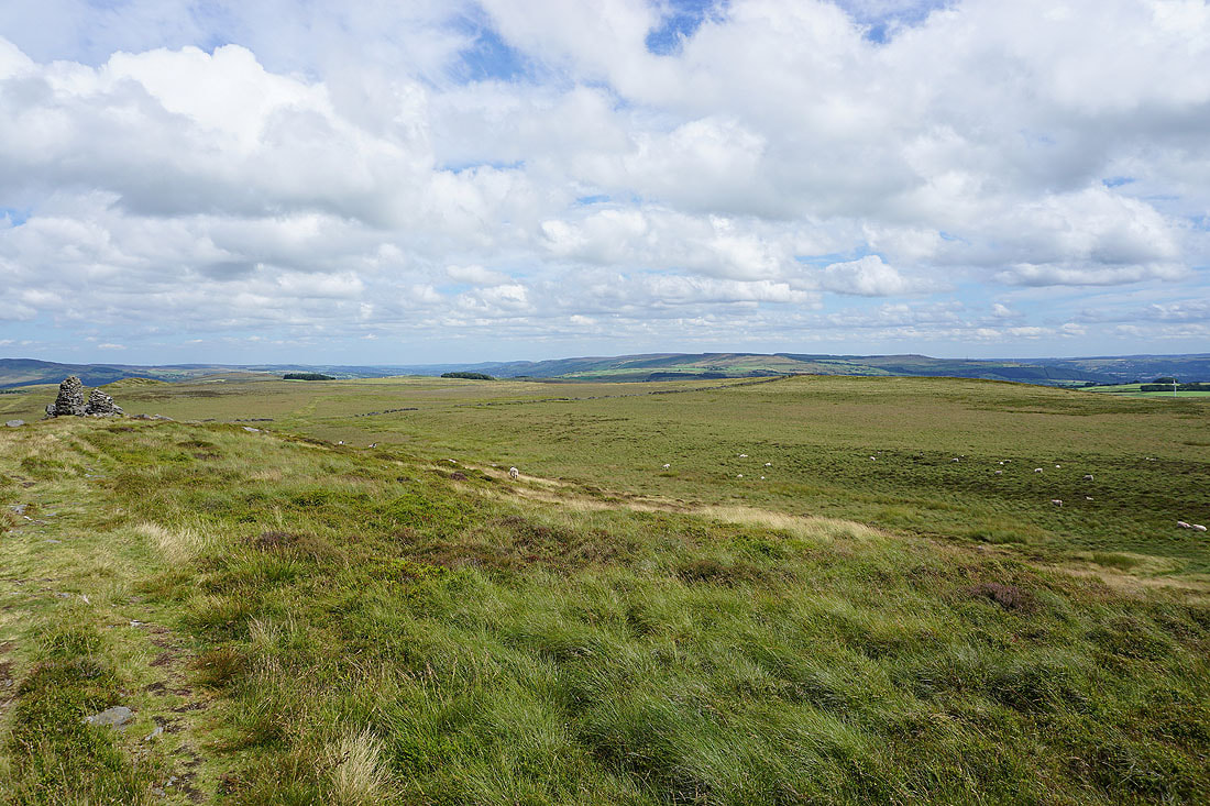
Looking back to the summit from Standard Crag
Great skies above Standard Crag
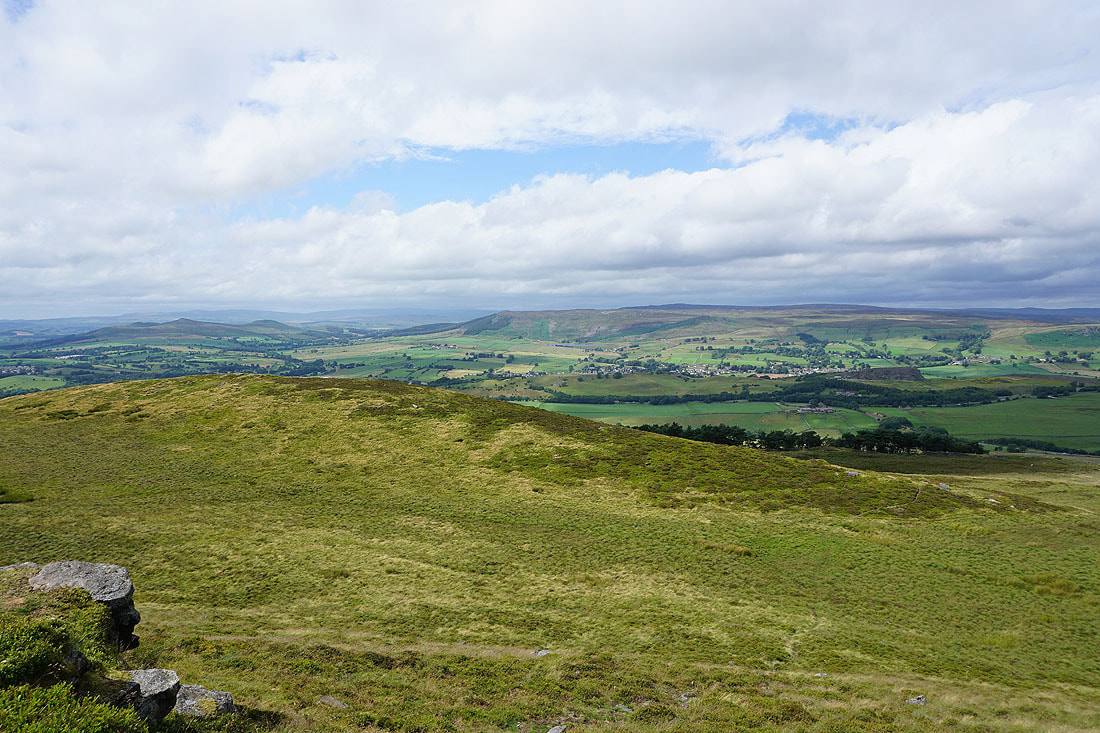
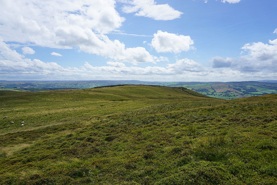
Ilkley Moor in the distance as I follow the path from Standard Crag to Millstone Hill
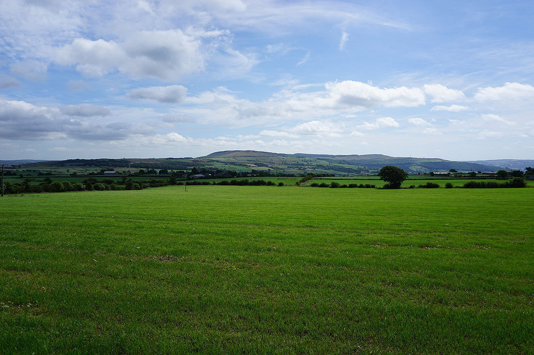
A fantastic view across Airedale to Boulsworth Hill in the distance from Millstone Hill
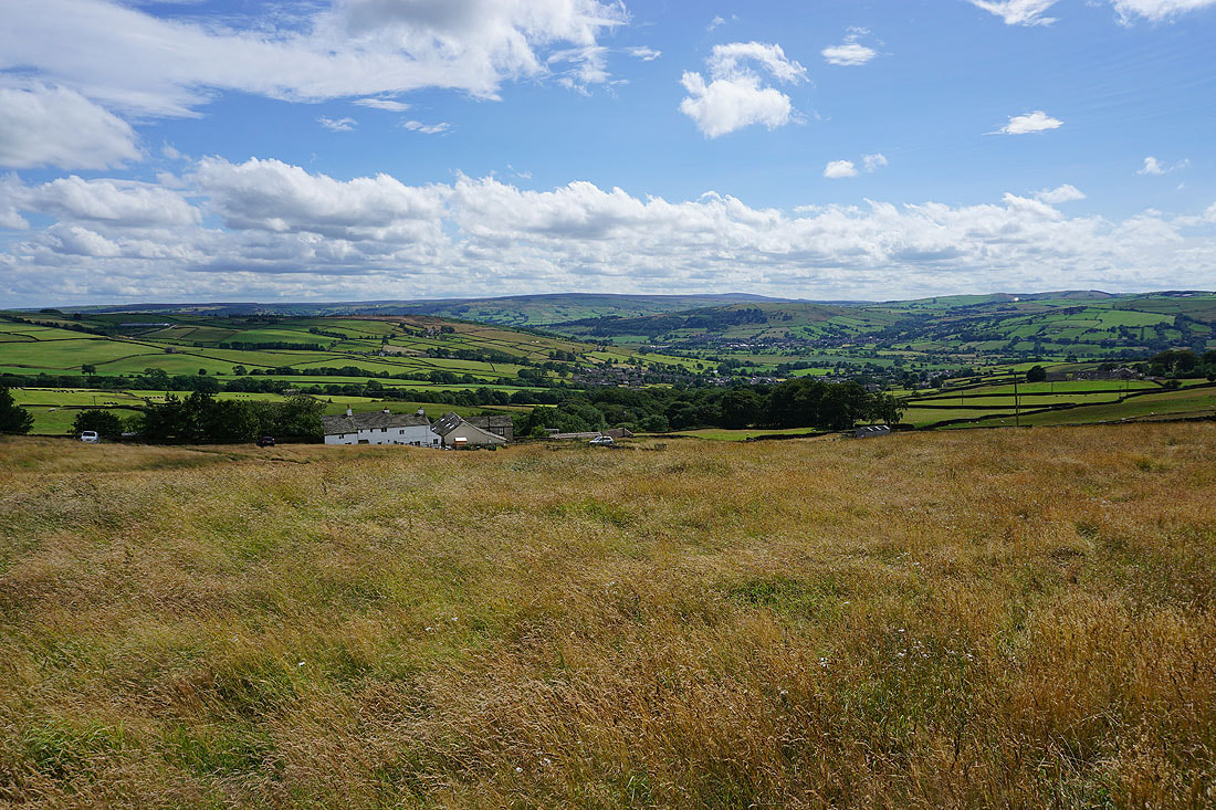
White House Cottage, Low Bradley and Airedale from the footpath down to High Bradley
White House Cottage
Glorious summer skies as I make my way down to High Bradley..
High Bradley
A great view of Airedale as I walk down the road to Low Bradley
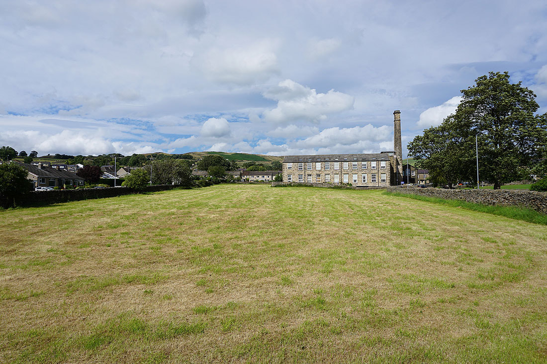
Bradley Mill as I walk through the village to the car park