22nd June 2014 - A Bleasdale Round
Walk Details
Distance walked: 10.9 miles
Total ascent: 1607 ft
OS map used: OL41- Forest of Bowland & Ribblesdale
Time taken: 5.5 hrs
Route description: Layby on Delph Lane-High Moor-Broadgate-Brooks Barn-Admarsh Barn-Vicarage Farm-Bleasdale Circle-Holme House-Higher Fair Snape-Fair Snape Fell-Fiendsdale Head-Hazelhurst-Brooks Barn-Fell End-Layby on Delph Lane
Another fine day in the current spell of good weather. I've got to take advantage of it. I know I'd kick myself if the following weekend was a washout.
A fairly local walk after yesterdays Lakeland trip. It's more than a year since my last time up Fair Snape Fell so I decided on a shorter version of a route I did three years ago plus a visit to Bleasdale Circle.
From the layby on Delph Lane I walked south down the road and then took the footpath that heads across the fields past High Moor and Broadgate to Brooks Barn. I then followed an access road to Brooks and then a track to Admarsh Barn and then Vicarage Farm. At Vicarage Farm you can visit Bleasdale Circle via the signposted permissive path. After doing that I continued on to Holme House Farm and then Higher Snape Farm. I then took the permissive path up onto Fair Snape Fell. After having my lunch in the shelter near the trig point I made my way to the true summit of the fell and then on to Fiendsdale Head. My route back was the path down the hillside of Winny Bank to Hazelhurst and then the track past Brooks Barn and Fell End to Delph Lane. A short walk down the road to the layby remained.
Route map
© Crown copyright. All rights reserved. License number PU 100034184.
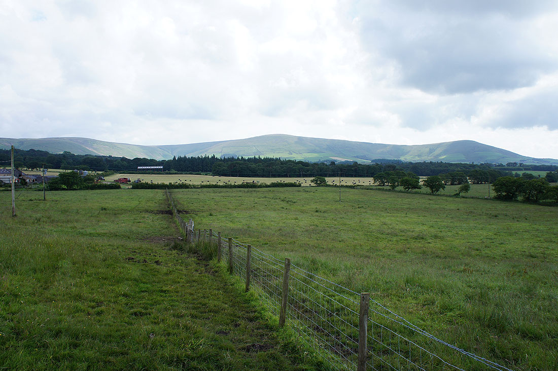
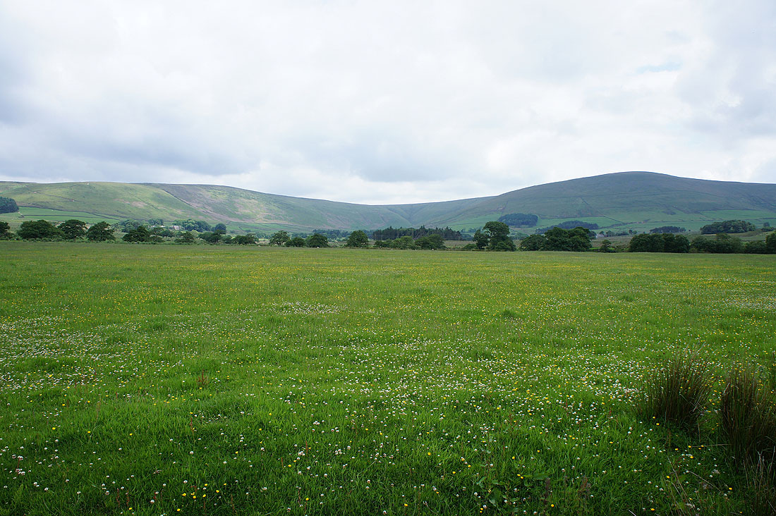
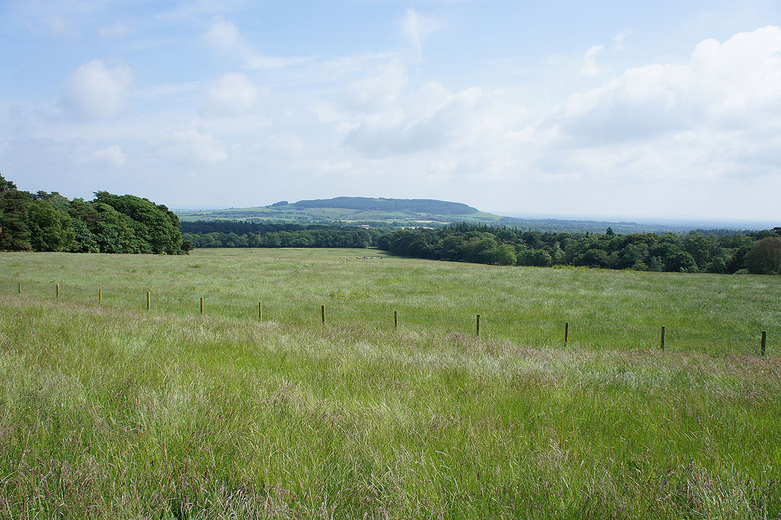
As I set off across fields at the start of the walk, the main target of the day Fair Snape Fell is straight ahead
and a bit further on I have Beacon Fell to my right
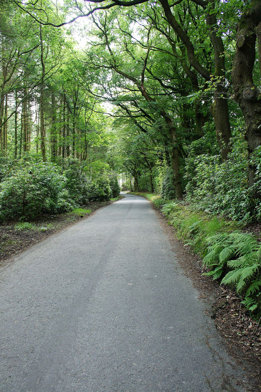
Heading through a patch of woodland on the access road between Brooks Barn and Brooks
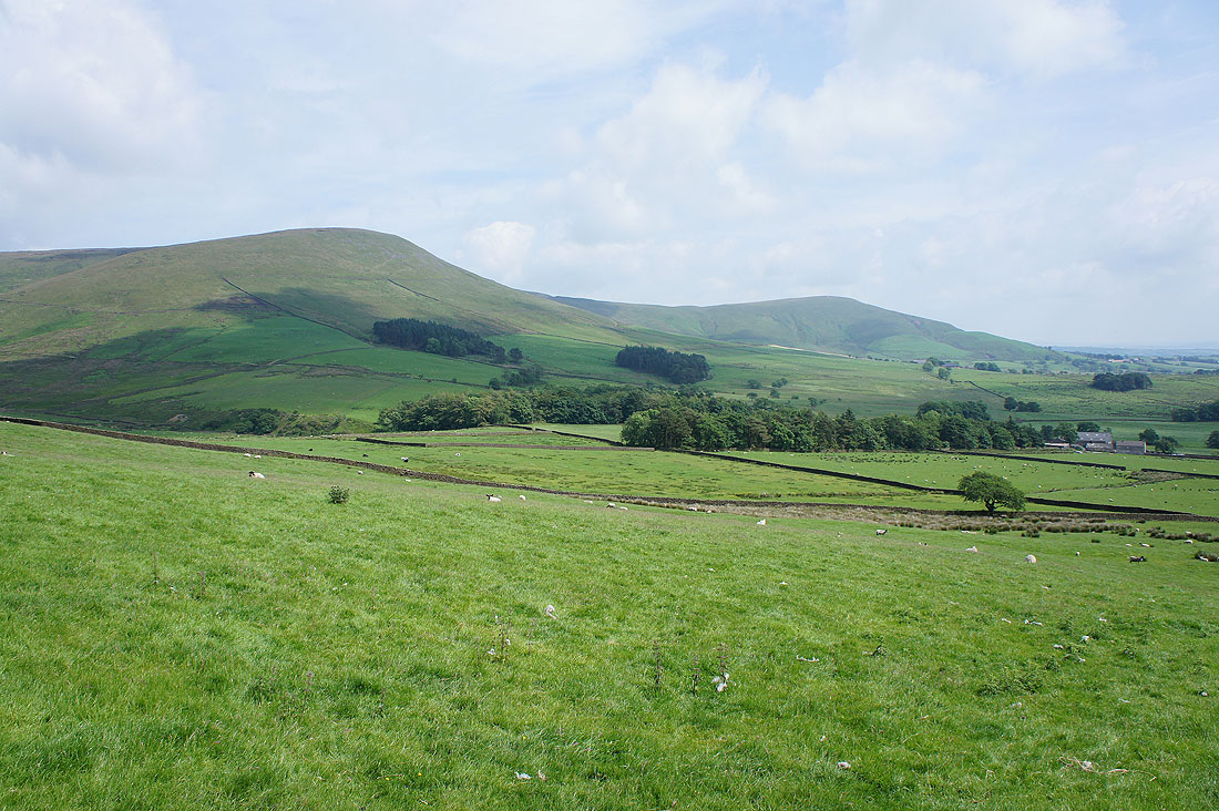
Holme House Fell and Fair Snape Fell
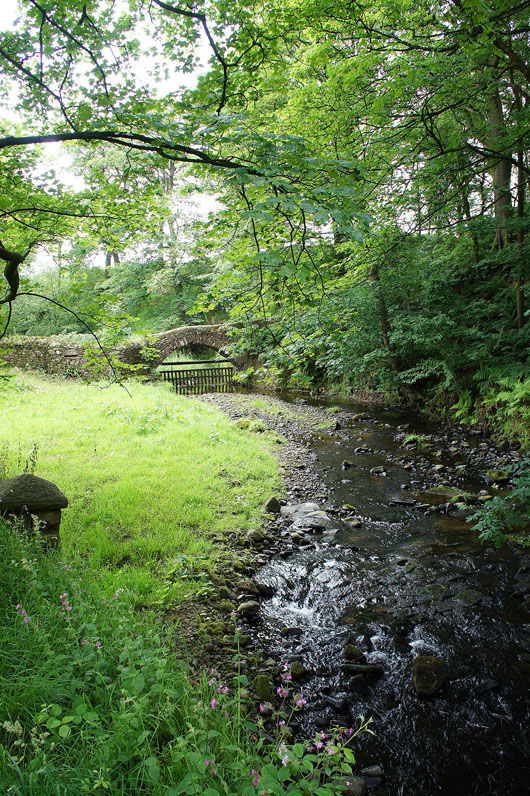
As I cross the River Brock at Brooks there's a perfectly formed little packhorse bridge just upstream
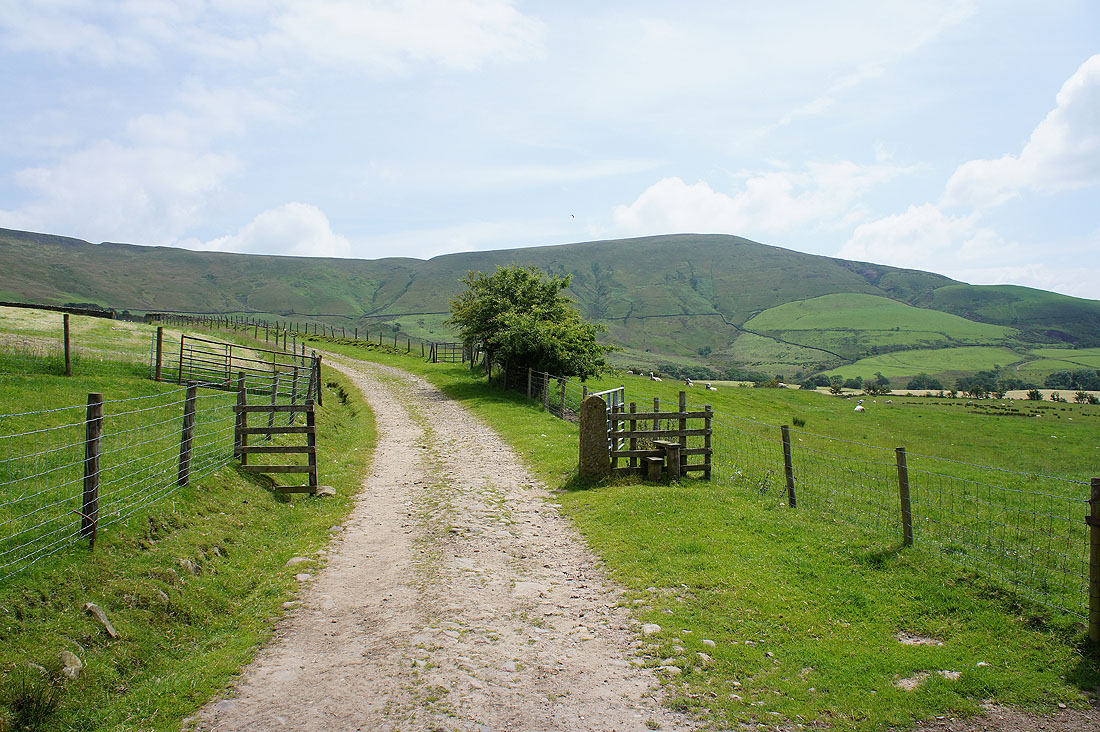
On another access road, this time to Vicarage Farm. When I reach the trees I'll take the concessionary path to Bleasdale Circle.
Heading across to the Bleasdale Circle, situated in the trees ahead
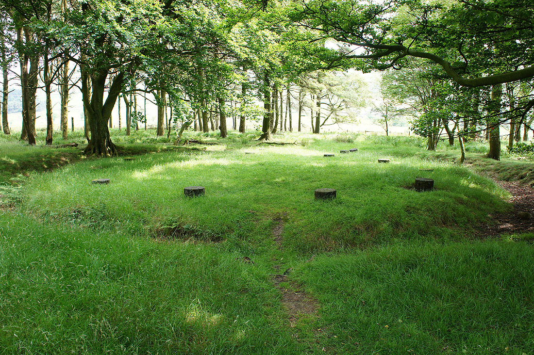
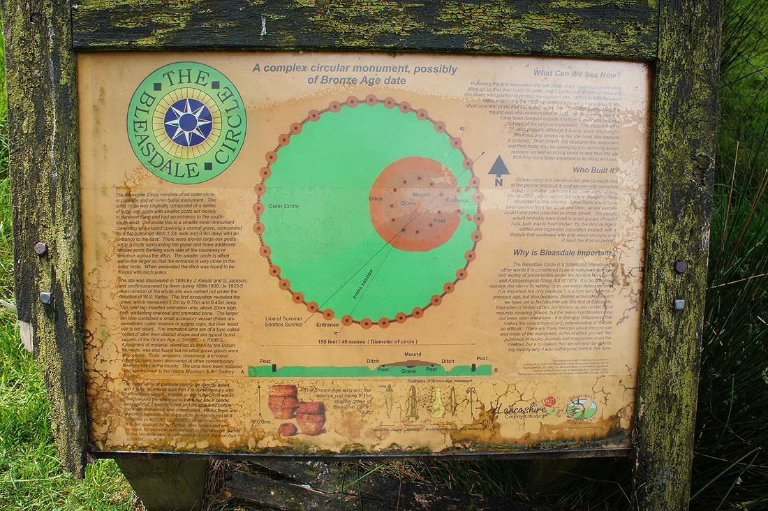
The Bleasdale Circle. I've included a link to its page on the Archaeology & Heritage section of the Lancashire CC website.
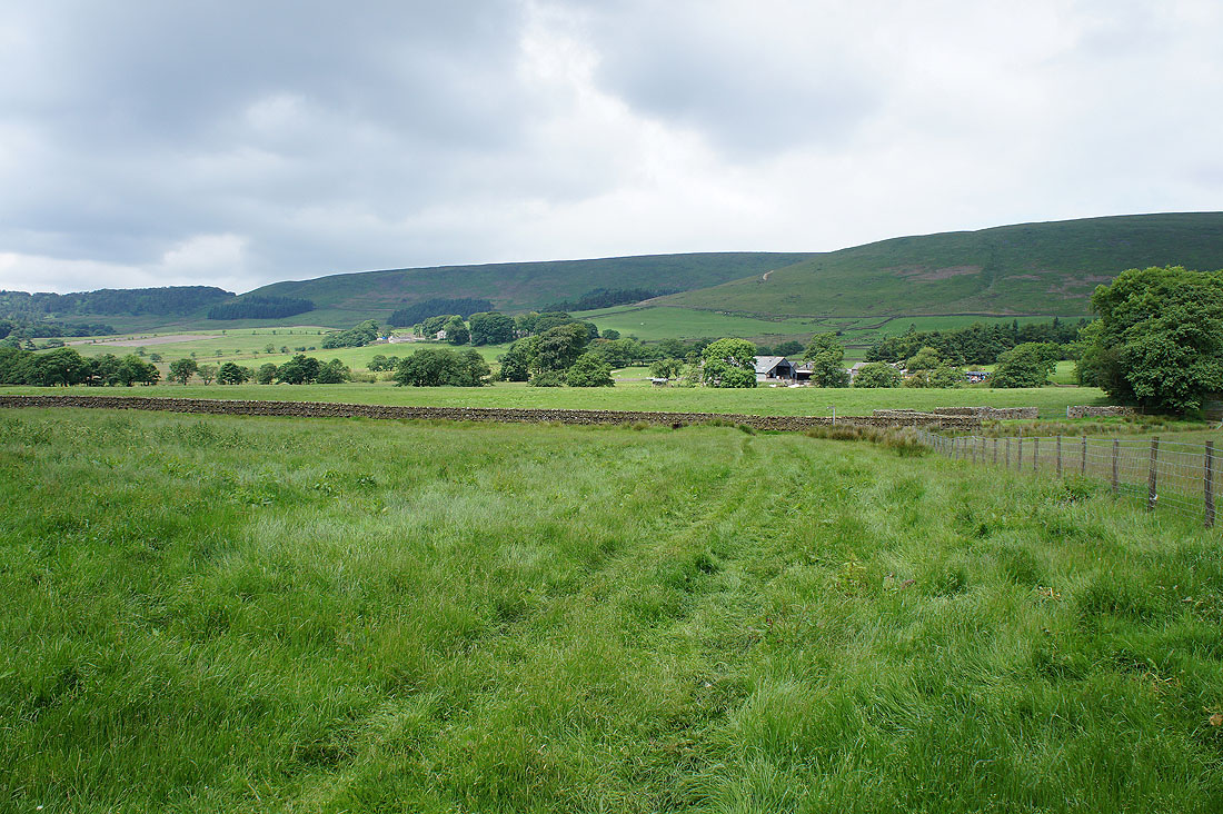
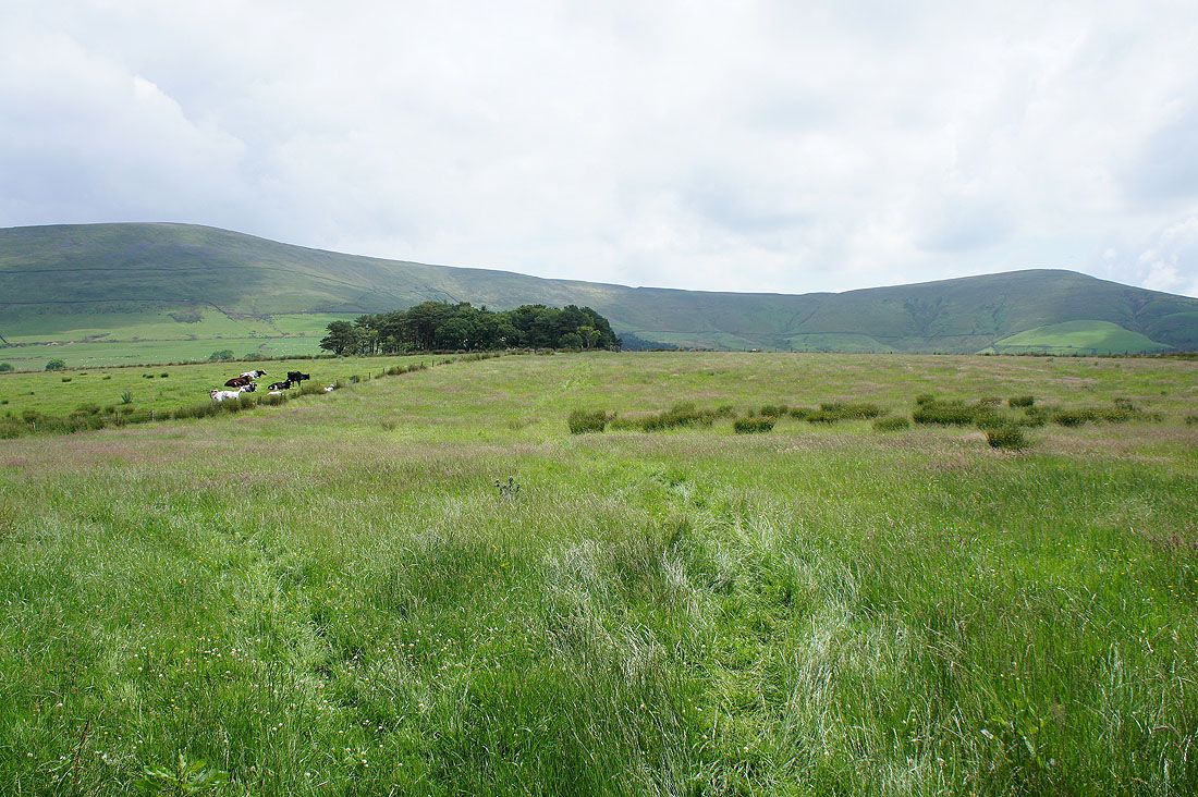
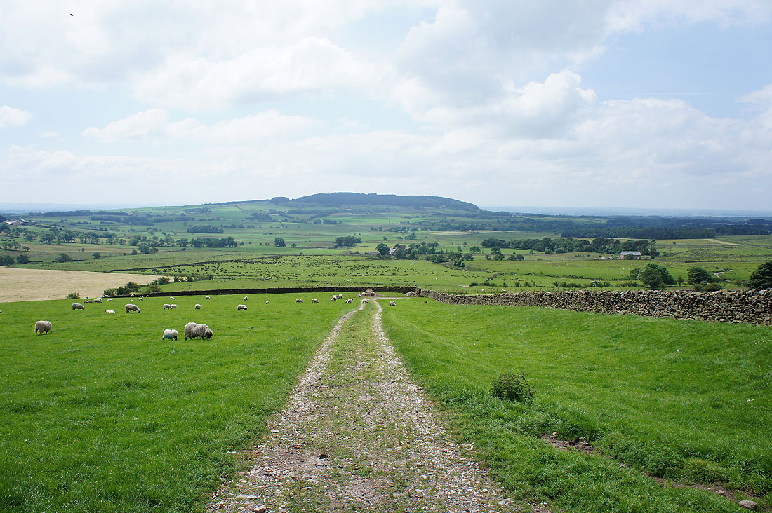
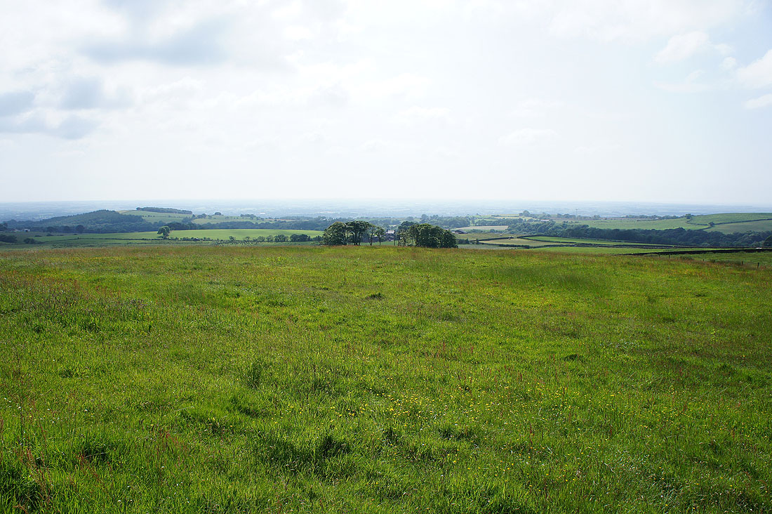
After backtracking from Bleasdale Circle I continued on to Holme House Farm which is now behind me. My route down will be across the nearer of the two hillsides to Hazelhurst.
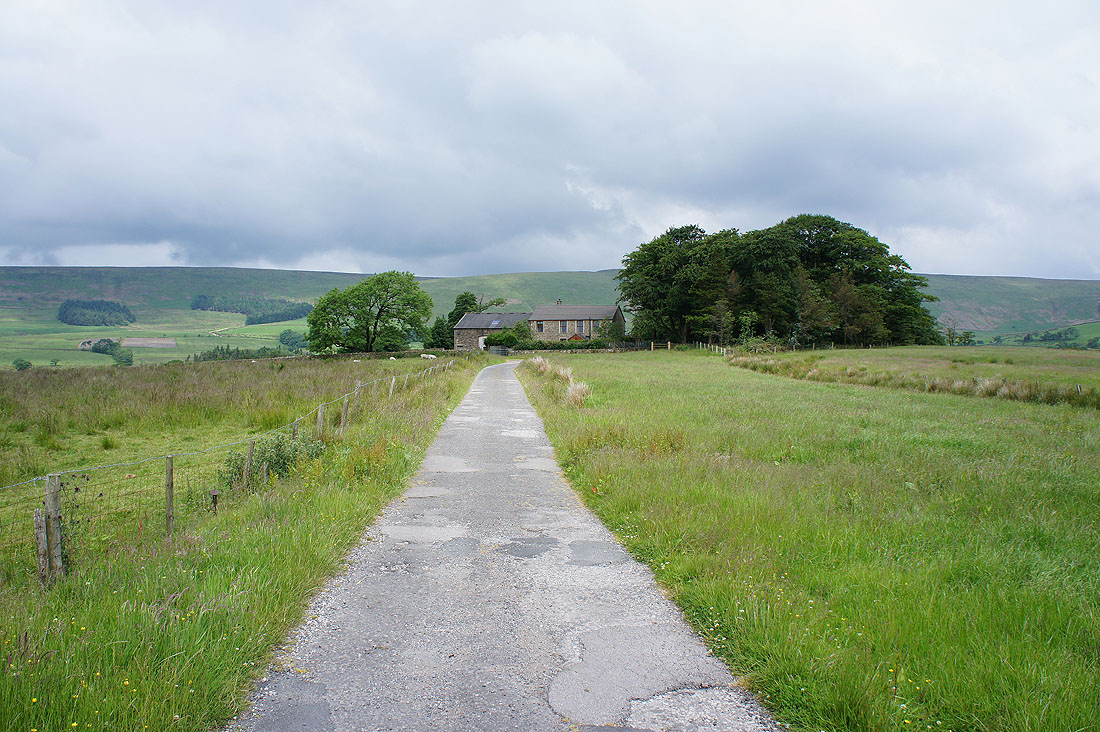
Higher Fair Snape Farm ahead. I can finally head uphill onto the open fell.
At the start of the permissive path up Fair Snape Fell. That's Parlick ahead though and there are a few paragliders and gliders trying to make use of the thermals.
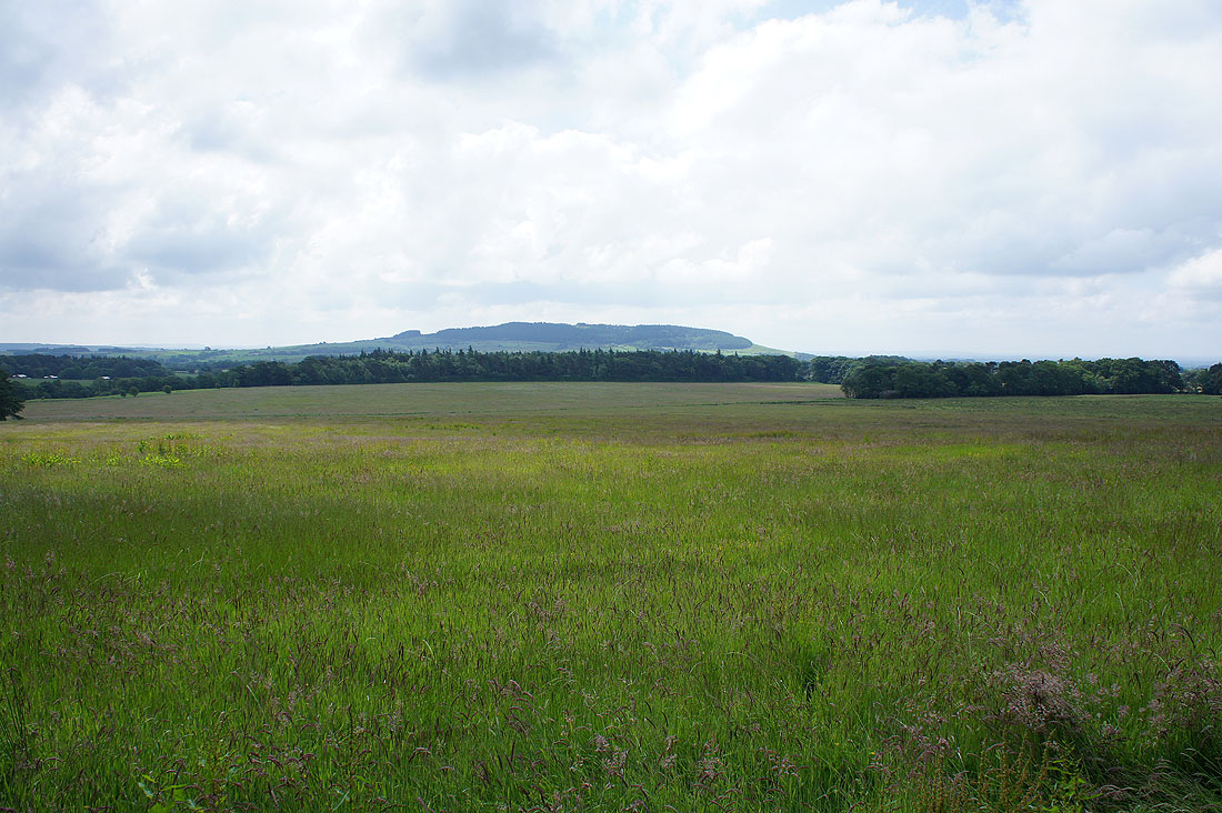
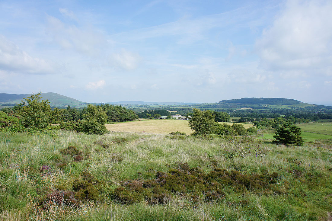
A bit further on and if I turn around there's Beacon Fell
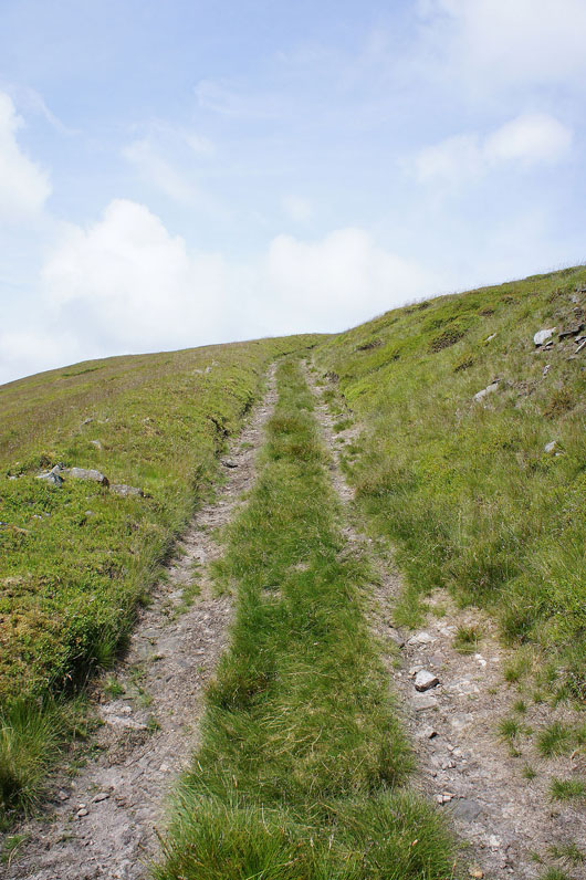
Nearly there. That was warm work. I was glad that the sun was in for most of the time on the way up.
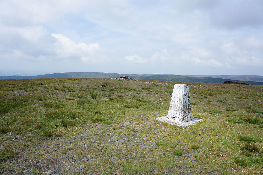
The trig point on Fair Snape Fell. It's often considered as the summit but the real one is about a kilometre away to the northeast. It's quite hazy today so the views are restricted to the nearby hills.
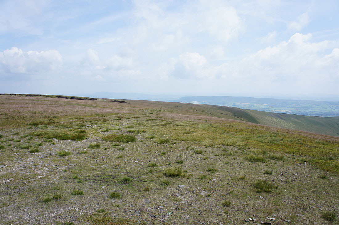
Pendle Hill and Longridge Fell
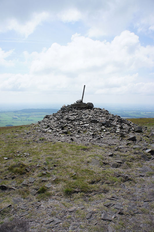
The large cairn of Paddy's Pole
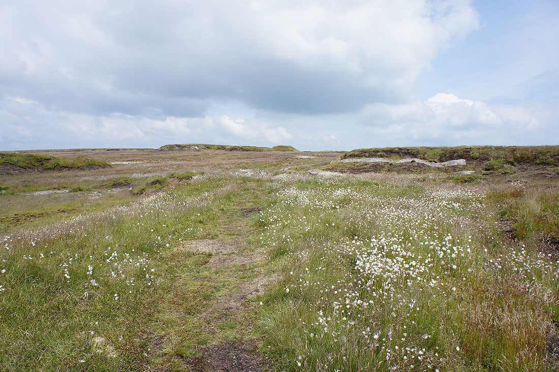
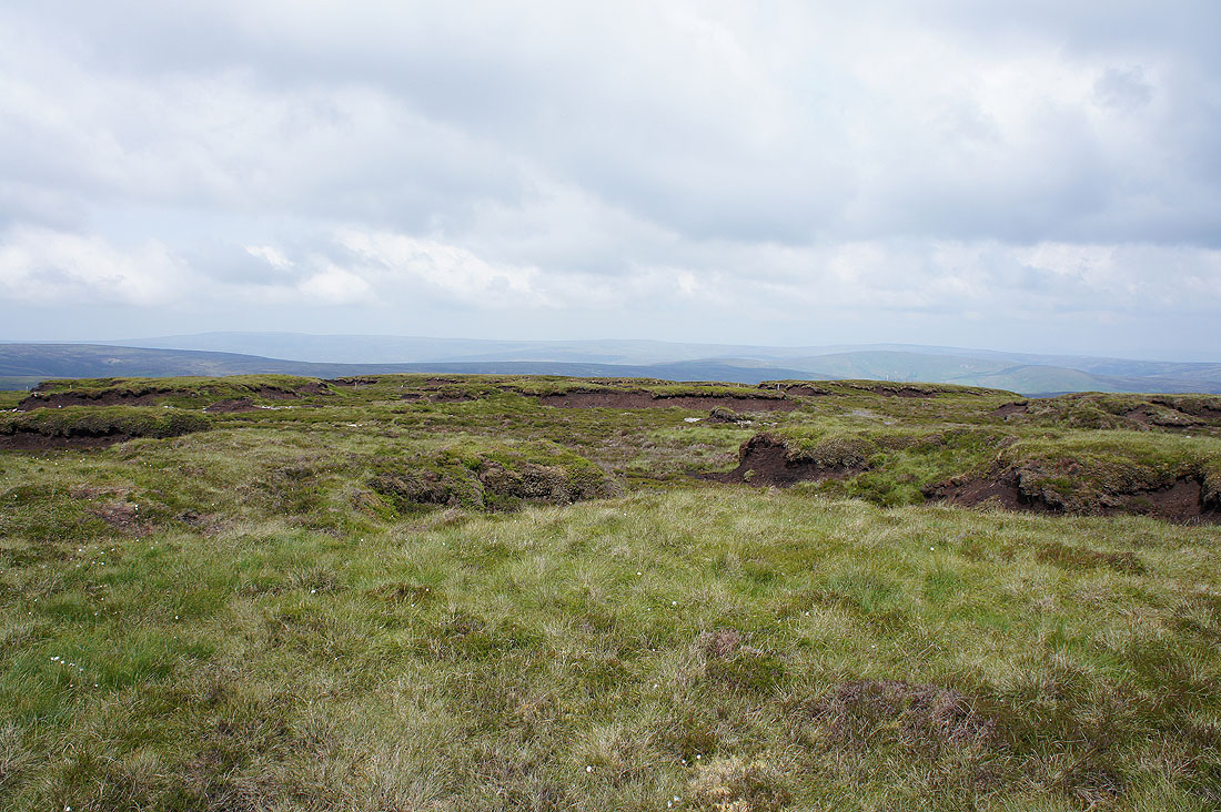
Heading through cotton grass to the true summit. There's a program of moorland restoration going on here to try and stop the erosion of the peat. The edges of the peat hags have been smoothed out and the bare ground seeded. There is also matting in place to help the vegetation get hold and of course sheep aren't allowed in. It does look greener than it did on my last walk through here.
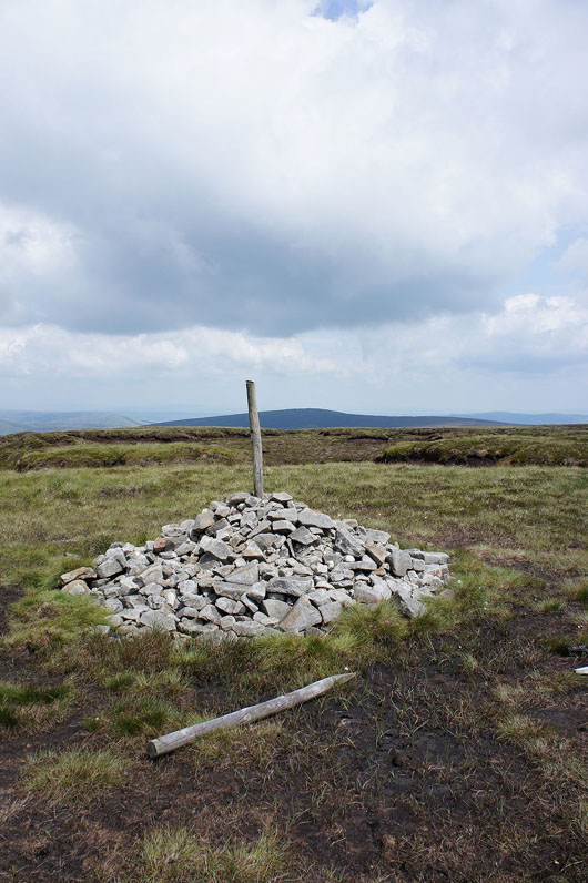
Another cairn with a pole marks the true summit of Fair Snape Fell. The fell in shadow in the background is Totridge.
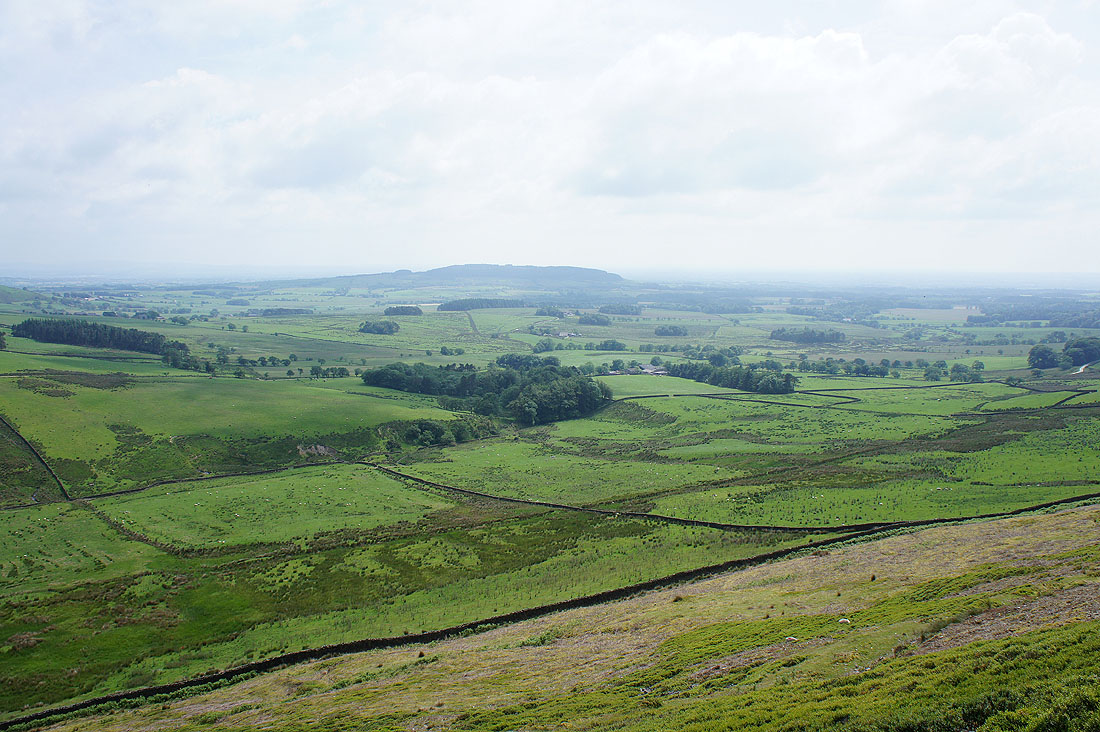
The view north across heathery moors to the highest summits in Bowland, Ward's Stone and Wolfhole Crag
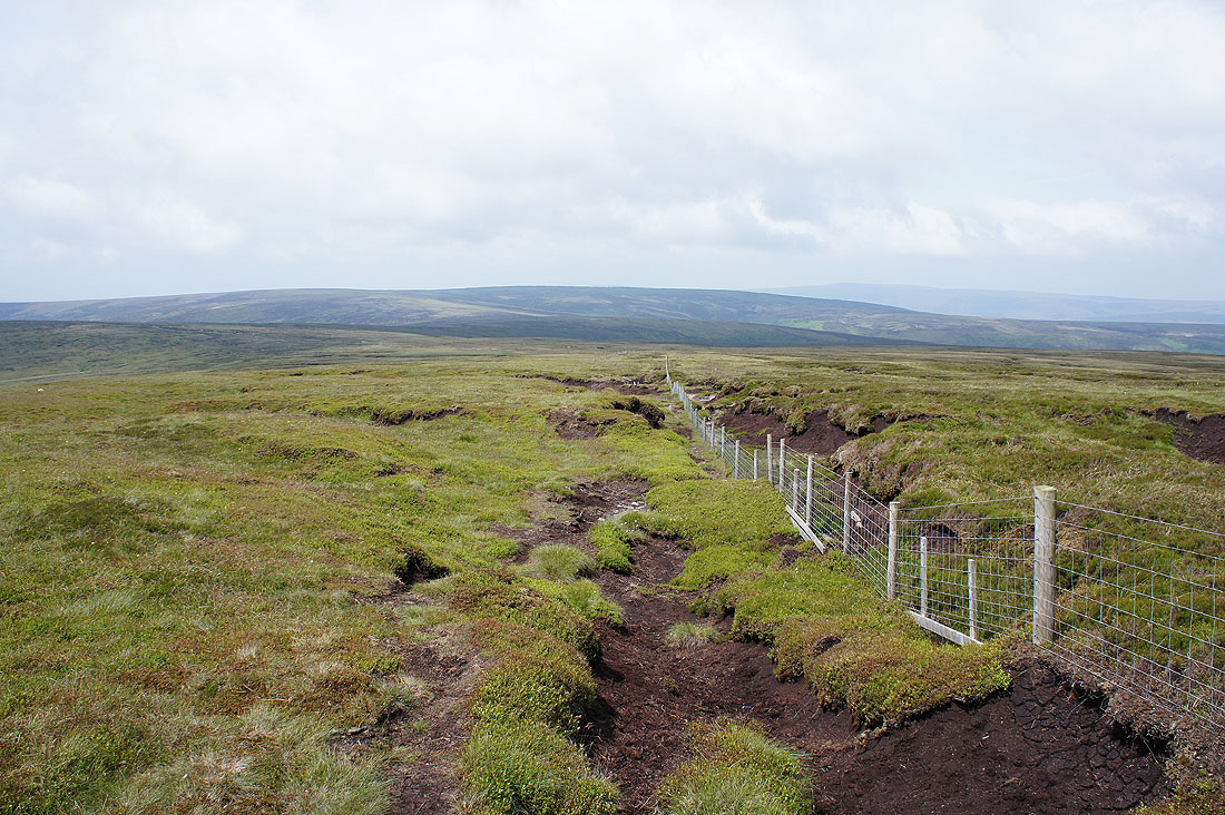
Heading for Fiendsdale Head
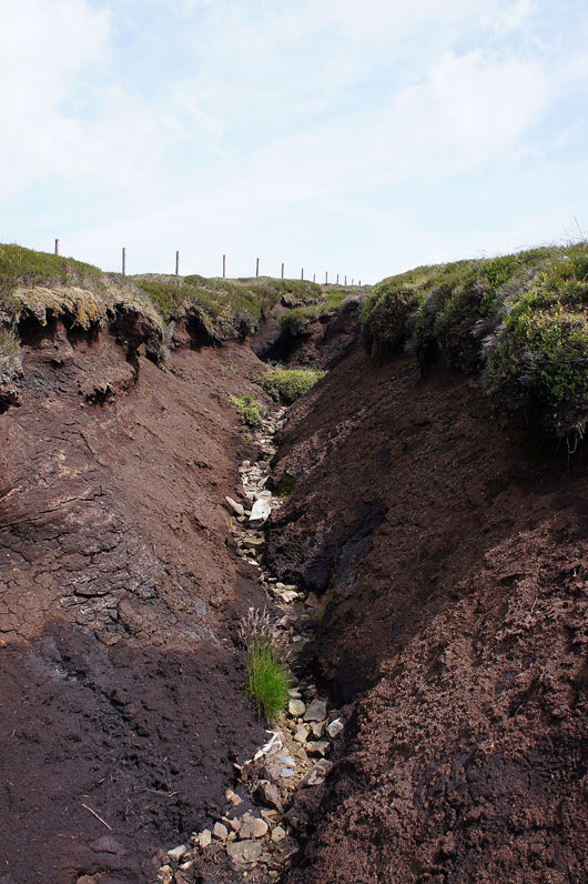
Peat erosion in extremis. What happens when running water can erode down to the bedrock.
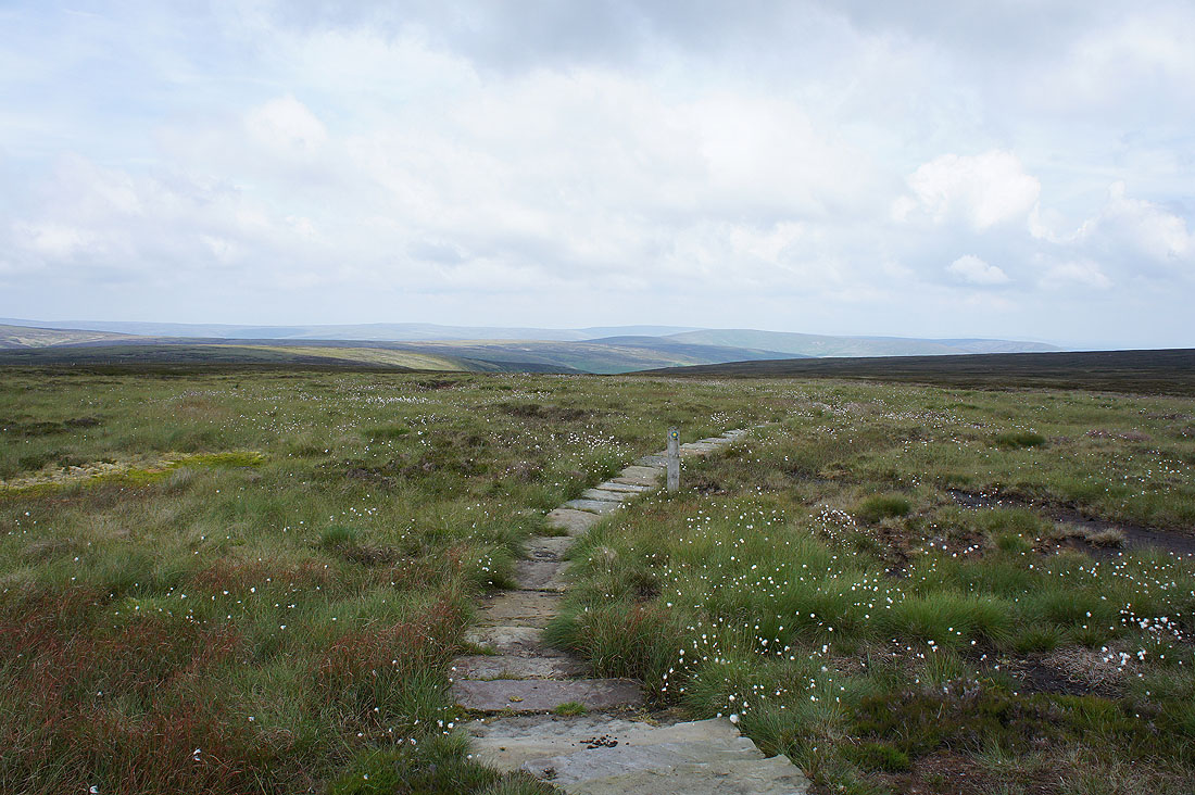
The view to the northeast at Fiendsdale Head. A flagged path helps keep your boots dry. I went in the opposite direction though.
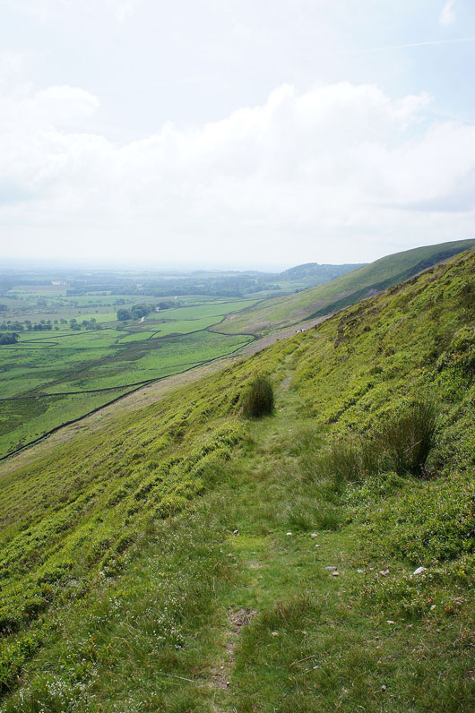
Down the hillside of Winny Bank on a nicely graded path
Views of Beacon Fell and..
..Fair Snape Fell and Parlick to enjoy
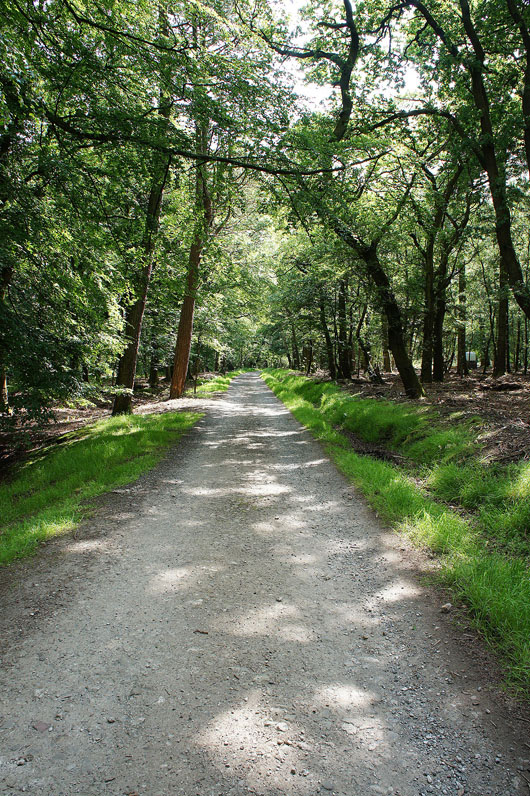
It's turned into a warm afternoon so this bit of shade in Clough Heads Wood was most welcome
Beacon Fell from the track between Bleasdale Tower and Fell End
A walk down Delph Lane to where I'm parked and there's a hazy view out to the coast
Back where I'm parked and possibly the best view of the day, across farmland to Parlick and Beacon Fell