22nd June 2019 - Littondale and Birks Fell
Walk Details
Distance walked: 13.4 miles
Total ascent: 1606 ft
OS map used: OL30 - Yorkshire Dales, Northern & Central areas
Time taken: 7.5 hrs
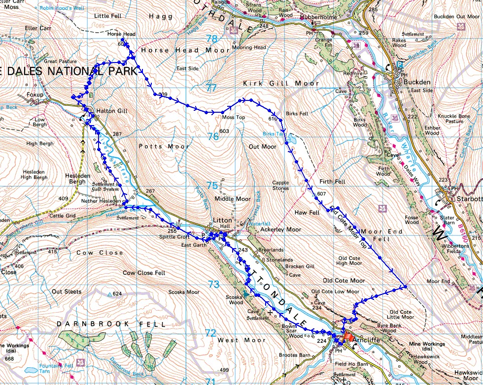
Route description: Arncliffe-Litton-Nether Hesleden-Halton Gill Bridge-Halton Gill-Horse Head Moor-Sugar Loaf-Birks Fell-Birks Tarn-Old Cote Moor Top-Arncliffe
During the past few years I've gradually been exploring the long moorland ridge that separates Littondale from Langstrothdale and Wharfedale. Starting from Knipe Scar, above where the rivers Skirfare and Wharfe meet, it heads in a northwesterly direction, gradually increasing in height to the trig point on Old Cote Moor Top, then maintains a fairly constant height as it continues northwest to Birks Fell and Horse Head Moor before turning west to finish at Cosh Knott above the eastern side of Ribblesdale. Today I plan to tackle the only part of it that I haven't yet walked along, from Horse Head Moor south to the cairn that marks the top of Birks Fell. A fine summer's day was essential for this walk, given that I was going to be spending a few hours up on that moorland ridge, and that's what I had with warm sunny spells and fluffy clouds. It was disappointingly cloudy though when I arrived I Arncliffe. I was hoping for some sunshine to make the flowering hay meadows look their best that I'd pass through while walking up Littondale.
After parking in Arncliffe I walked along the road to the western end of the village to the sharp left hand bend and went straight on, taking the footpath up Littondale. I followed this up the valley, crossing the River Skirfare at the stepping stones to eventually arrive in Litton. I then took the bridleway opposite the Queens Arms in Litton down to and across the ford over the River Skirfare, then turned right and followed the footpath up the valley, crossing Hesleden Beck to Nether Hesleden, then across fields past Heber Side Barns to reach Halton Gill Bridge, where I walked up into Halton Gill to stop for lunch. After taking my break (with a can of lemonade and slice of cake from Katie's Cuppas), I left Halton Gill by taking the bridleway up onto Horse Head Moor. When I reached its top at Horse Head Gate I left it and made my way up to the trig point on Horse Head Moor just to the north. After taking in the view I returned to Horse Head Gate, went through it, then set off following the wall south along the moorland ridge. I kept to the northern side of the wall all the way to where the Buckden to Litton bridleway crosses the moor, except for visiting the cairn on Sugar Loaf. Once that bridleway was reached the trig point on Old Cote Moor Top was just a short walk away. I then continued my way down the ridge, crossing a ladder stile to keep to the northern side of the wall, until I reached the Starbotton to Arncliffe bridleway. Here I turned right and took the bridleway down to Arncliffe, taking advantage of a footpath as a short-cut to reach the road below. I then had a short walk back into Arncliffe to where I was parked.
Total ascent: 1606 ft
OS map used: OL30 - Yorkshire Dales, Northern & Central areas
Time taken: 7.5 hrs
Route description: Arncliffe-Litton-Nether Hesleden-Halton Gill Bridge-Halton Gill-Horse Head Moor-Sugar Loaf-Birks Fell-Birks Tarn-Old Cote Moor Top-Arncliffe
During the past few years I've gradually been exploring the long moorland ridge that separates Littondale from Langstrothdale and Wharfedale. Starting from Knipe Scar, above where the rivers Skirfare and Wharfe meet, it heads in a northwesterly direction, gradually increasing in height to the trig point on Old Cote Moor Top, then maintains a fairly constant height as it continues northwest to Birks Fell and Horse Head Moor before turning west to finish at Cosh Knott above the eastern side of Ribblesdale. Today I plan to tackle the only part of it that I haven't yet walked along, from Horse Head Moor south to the cairn that marks the top of Birks Fell. A fine summer's day was essential for this walk, given that I was going to be spending a few hours up on that moorland ridge, and that's what I had with warm sunny spells and fluffy clouds. It was disappointingly cloudy though when I arrived I Arncliffe. I was hoping for some sunshine to make the flowering hay meadows look their best that I'd pass through while walking up Littondale.
After parking in Arncliffe I walked along the road to the western end of the village to the sharp left hand bend and went straight on, taking the footpath up Littondale. I followed this up the valley, crossing the River Skirfare at the stepping stones to eventually arrive in Litton. I then took the bridleway opposite the Queens Arms in Litton down to and across the ford over the River Skirfare, then turned right and followed the footpath up the valley, crossing Hesleden Beck to Nether Hesleden, then across fields past Heber Side Barns to reach Halton Gill Bridge, where I walked up into Halton Gill to stop for lunch. After taking my break (with a can of lemonade and slice of cake from Katie's Cuppas), I left Halton Gill by taking the bridleway up onto Horse Head Moor. When I reached its top at Horse Head Gate I left it and made my way up to the trig point on Horse Head Moor just to the north. After taking in the view I returned to Horse Head Gate, went through it, then set off following the wall south along the moorland ridge. I kept to the northern side of the wall all the way to where the Buckden to Litton bridleway crosses the moor, except for visiting the cairn on Sugar Loaf. Once that bridleway was reached the trig point on Old Cote Moor Top was just a short walk away. I then continued my way down the ridge, crossing a ladder stile to keep to the northern side of the wall, until I reached the Starbotton to Arncliffe bridleway. Here I turned right and took the bridleway down to Arncliffe, taking advantage of a footpath as a short-cut to reach the road below. I then had a short walk back into Arncliffe to where I was parked.
Route map
© Crown copyright. All rights reserved. License number PU 100034184.
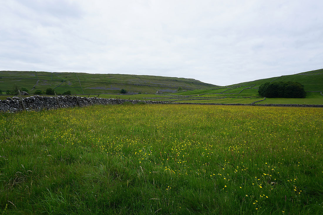
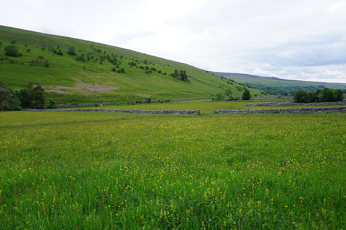
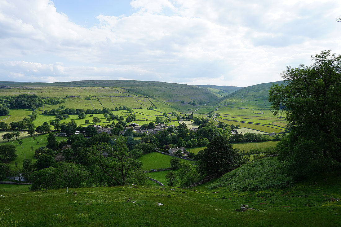
Grey skies as I arrive in Littondale. I was hoping for sunshine.
Yew Cogar Scar above the valley of Cowside Beck
Scoska Wood on the hillside as I take the path from Arncliffe to Litton
Buttercups brighten things up
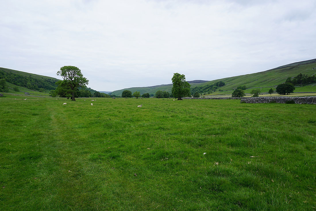
Heading north up Littondale
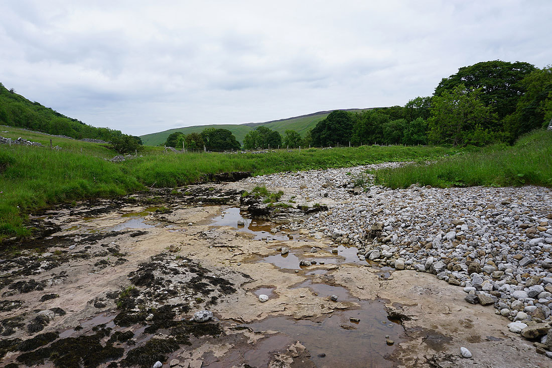
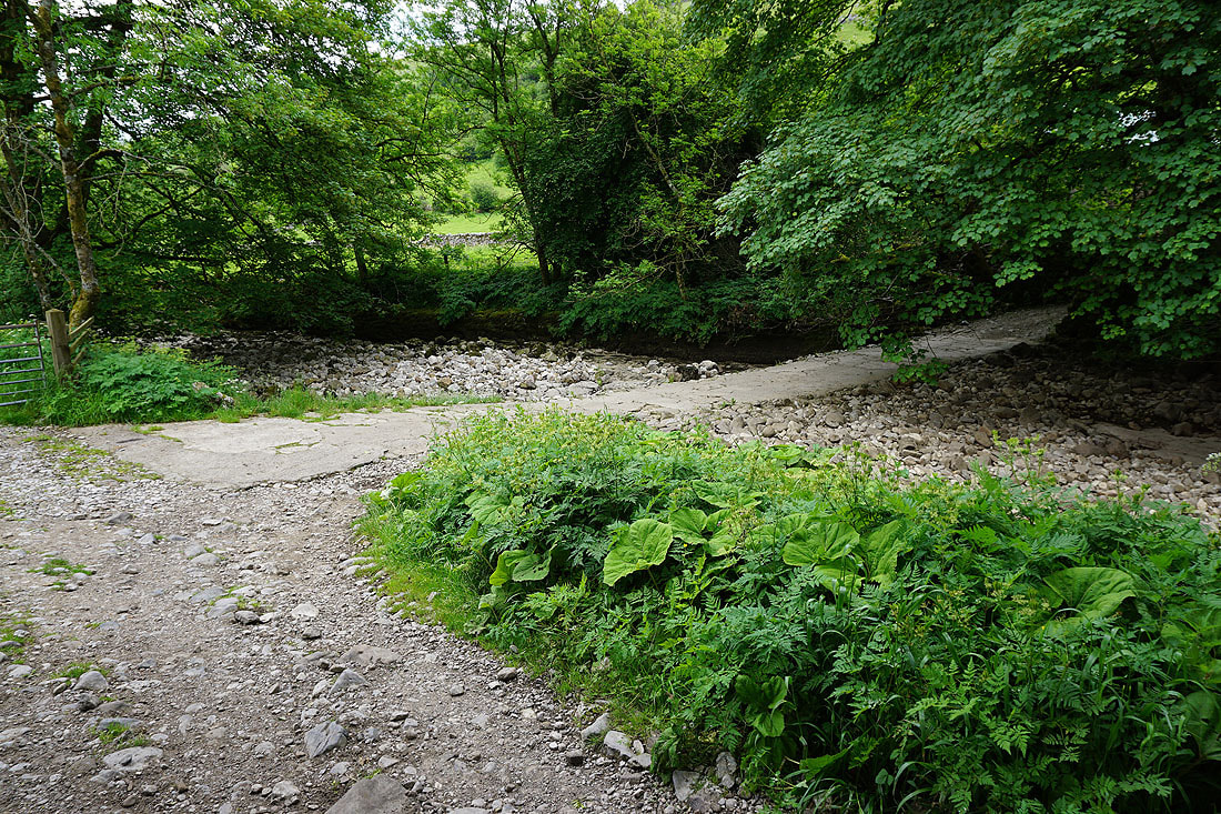
and across a dry River Skirfare
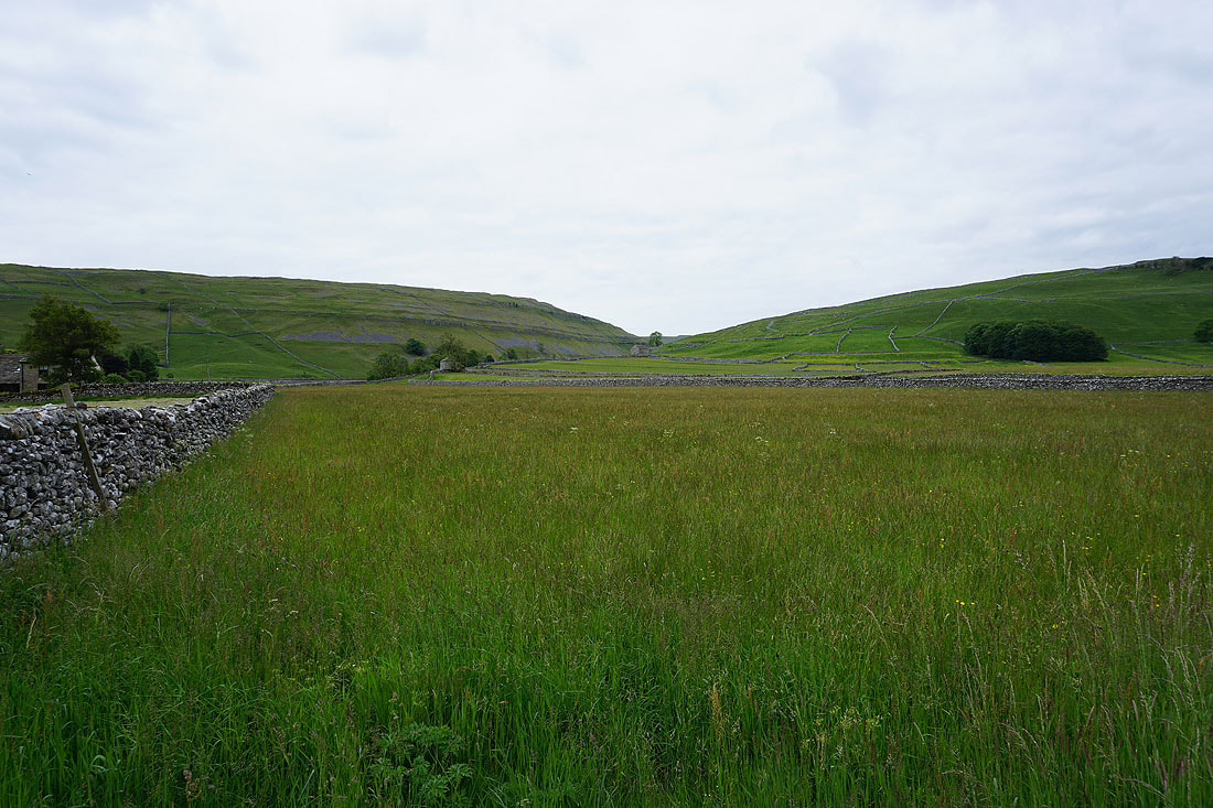
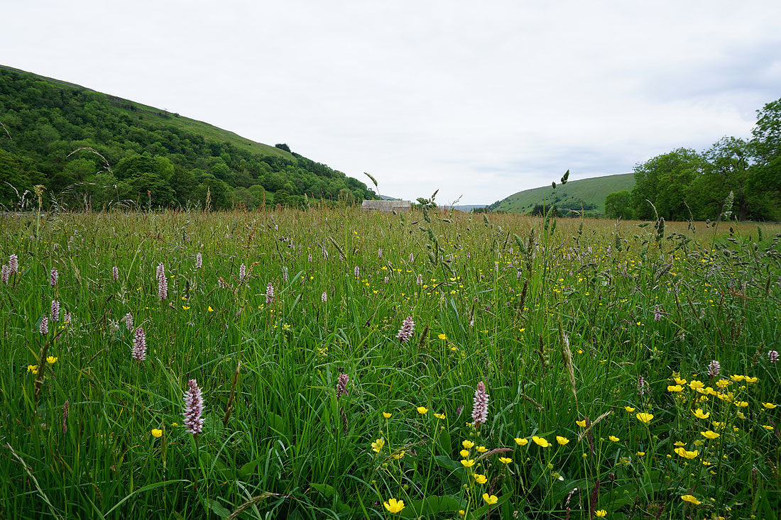
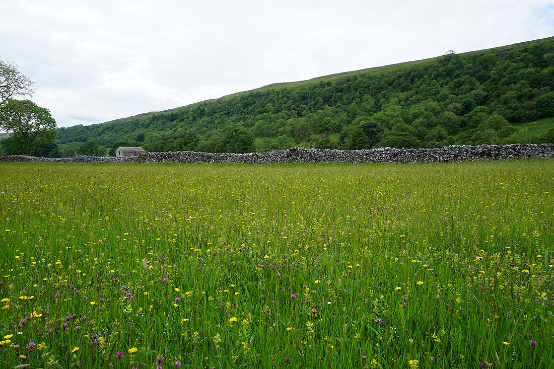
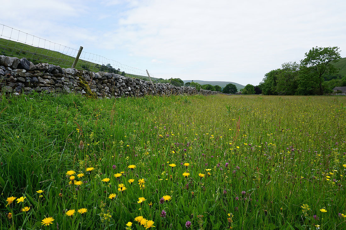
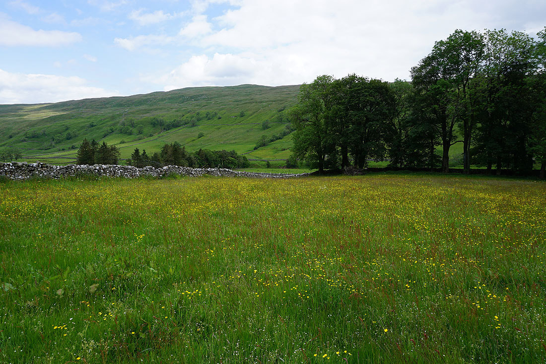
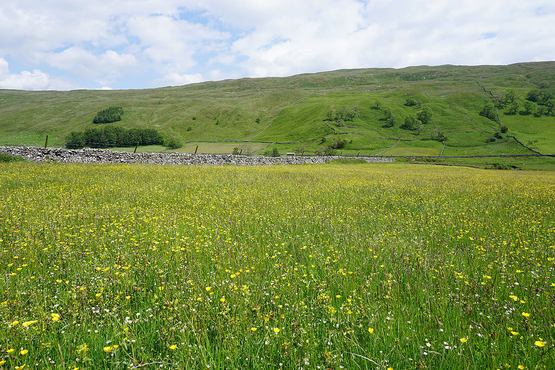
There are lots of wildflower filled meadows to see, all the way to Litton.........
From Litton I take the bridleway down to the ford on the River Skirfare. No chance of getting wet boots today.
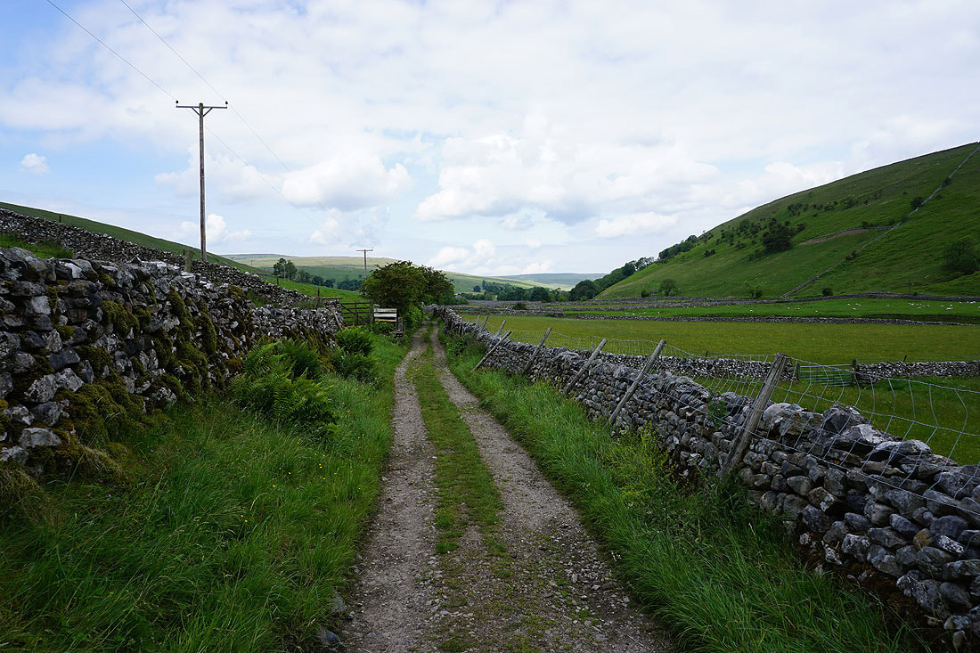
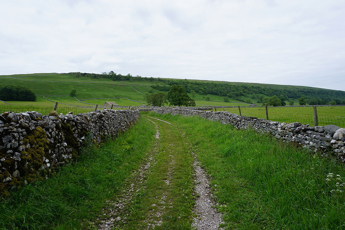
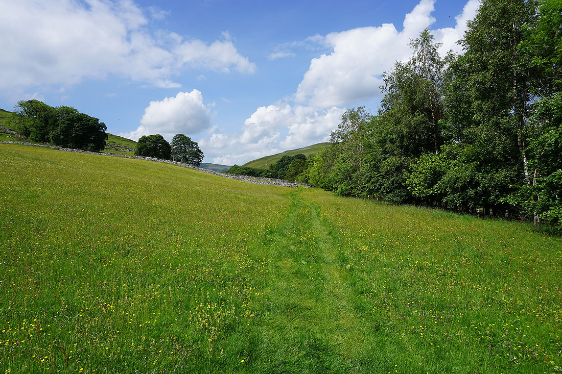
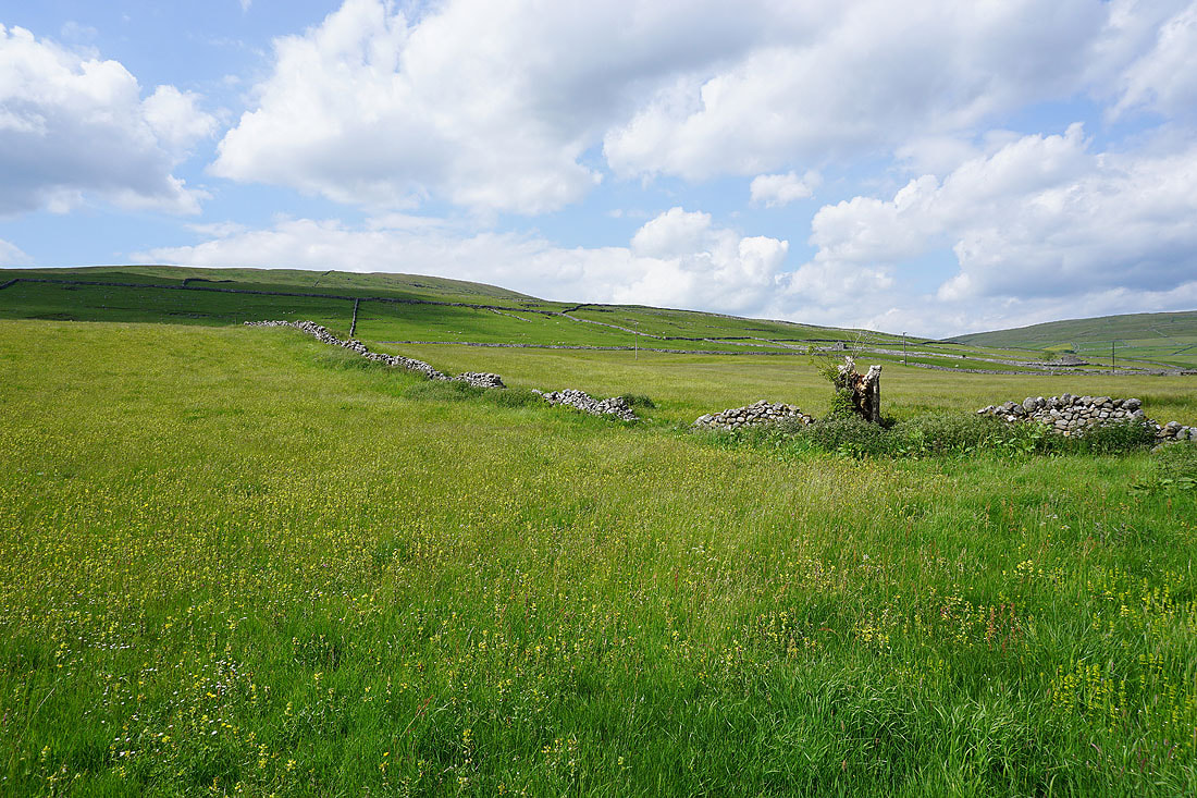
Having left Litton behind, on the footpath up Littondale to Nether Hesleden
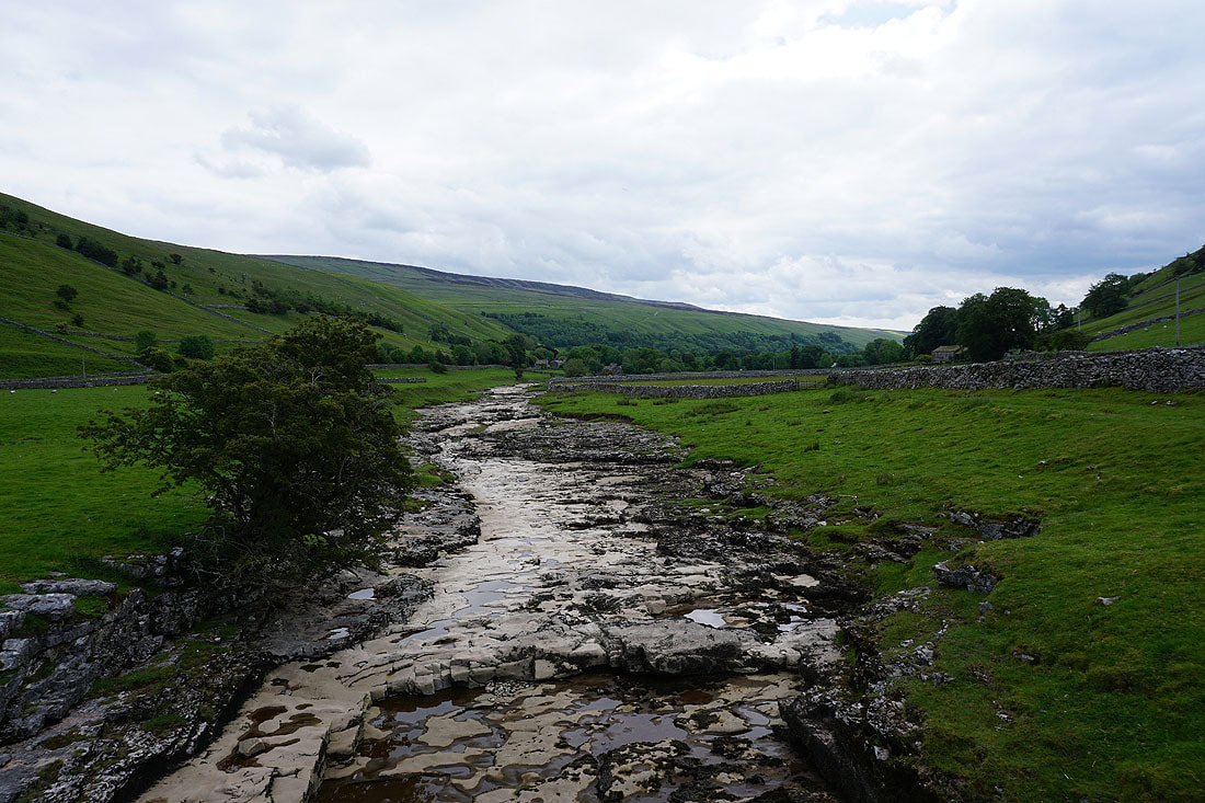
A dry River Skirfare from New Bridge
On the footpath past New Ing Barns
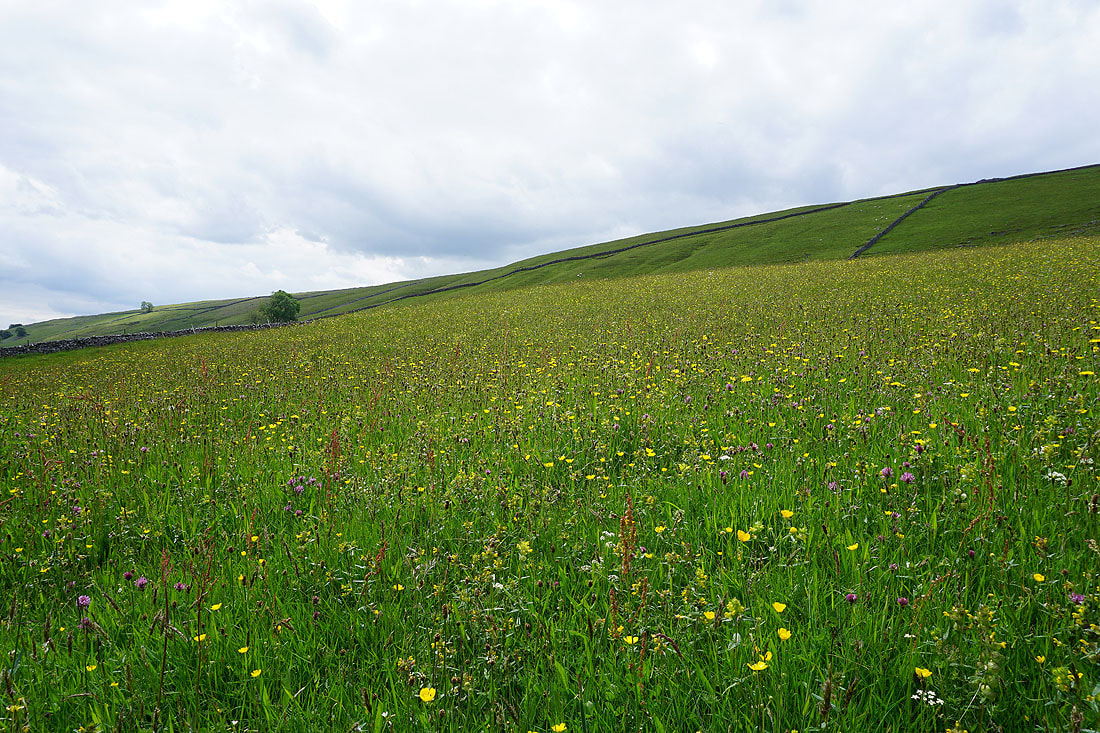
More buttercups filled meadows, which look even better with some sunshine on them...
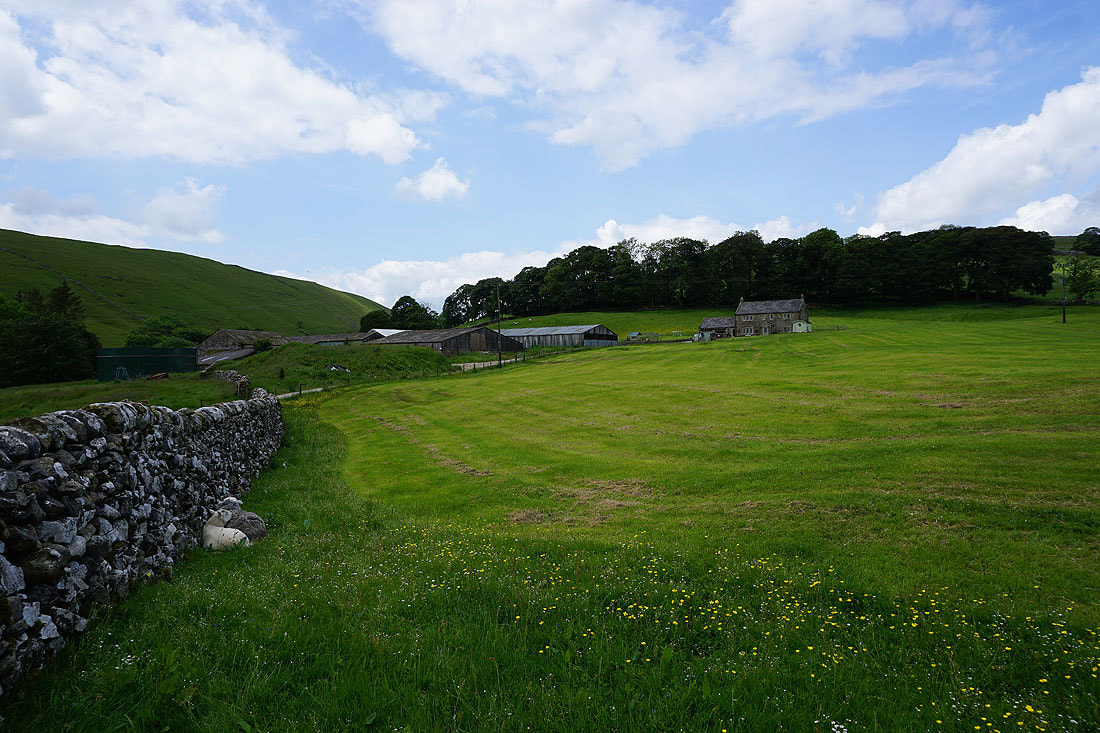
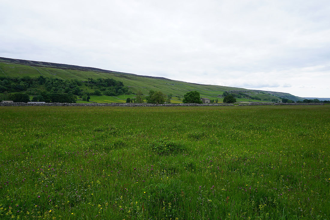
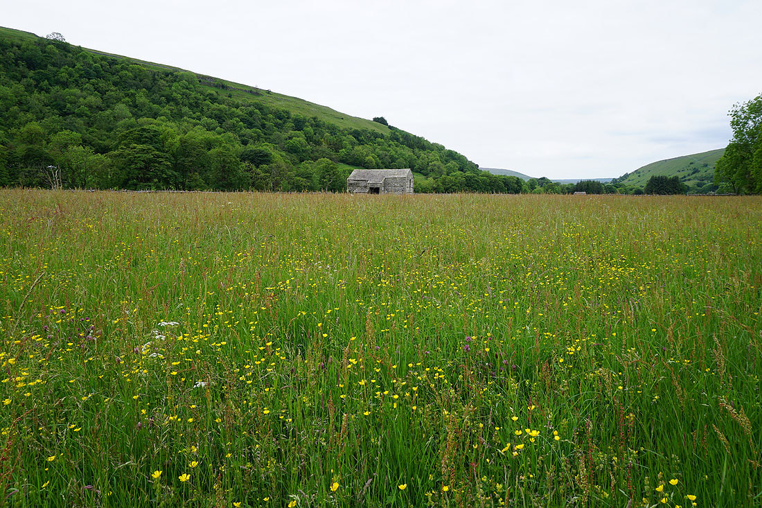
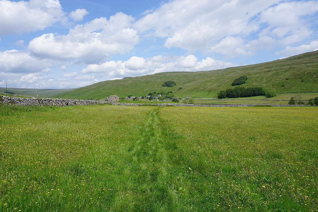
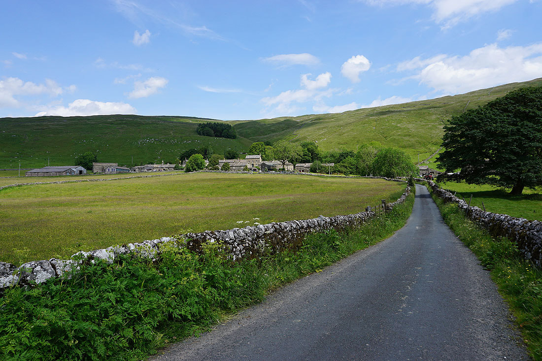
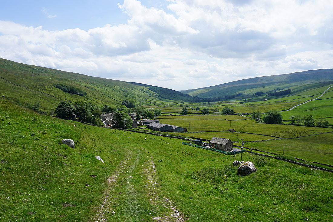
Nether Hesleden
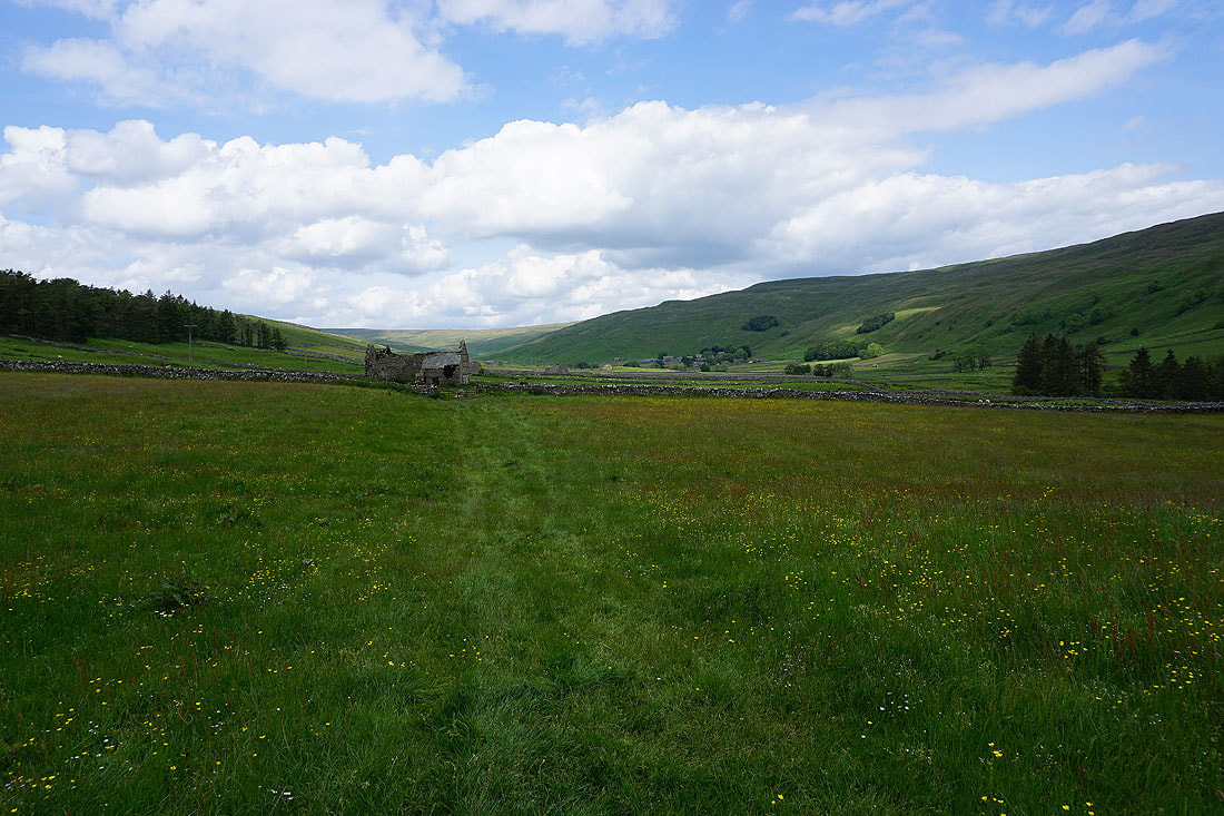
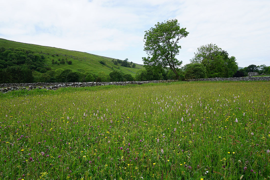
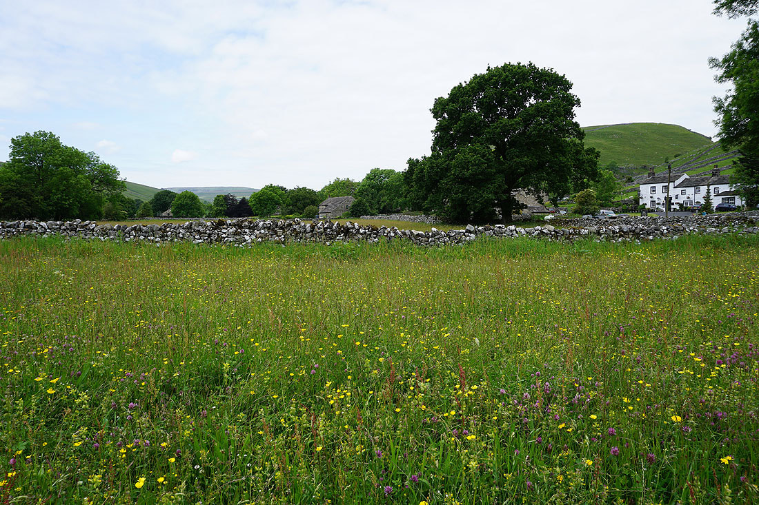
Following the footpath up Littondale to Halton Gill. The meadows look great in the increasing amounts of sunshine......
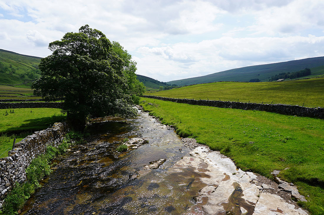
The River Skirfare from Halton Gill Bridge
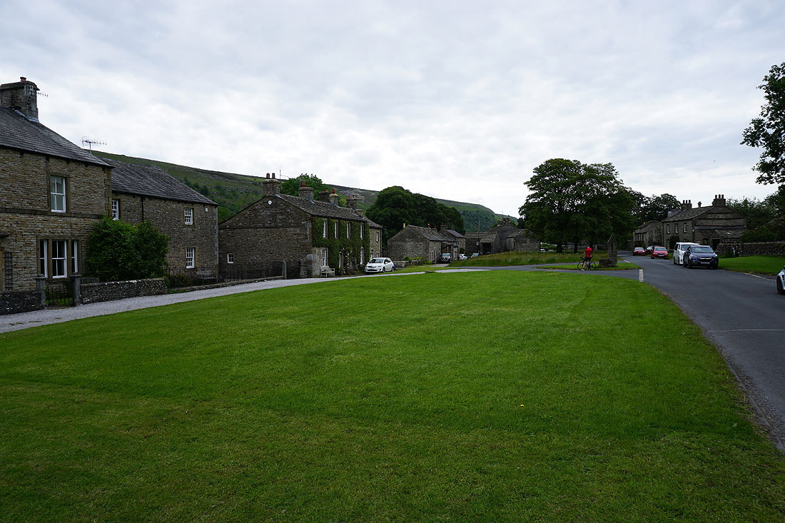
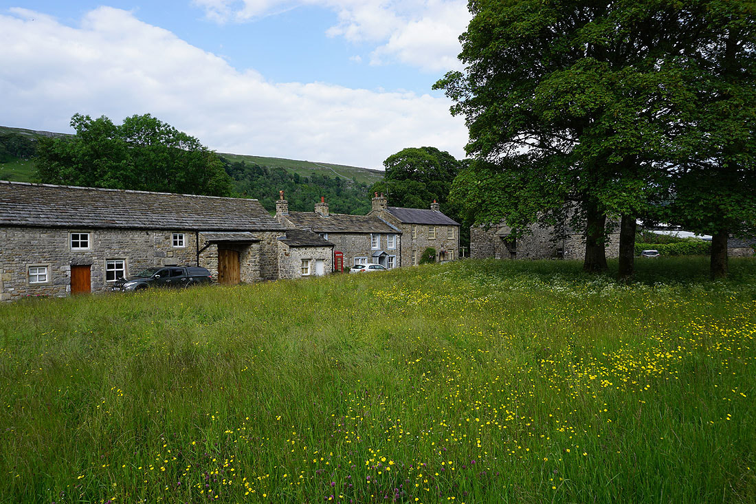
Halton Gill. It's time for a break and it would be rude not to take advantage of Katie's Cuppas.
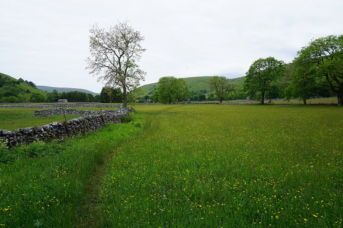
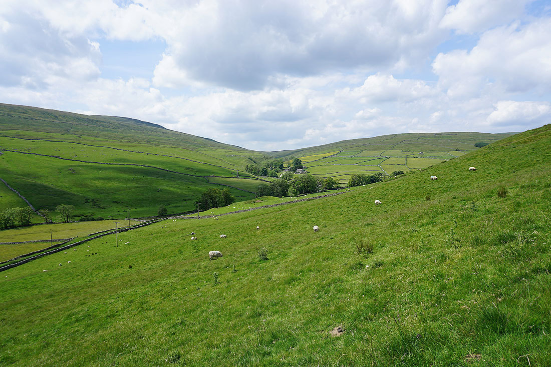
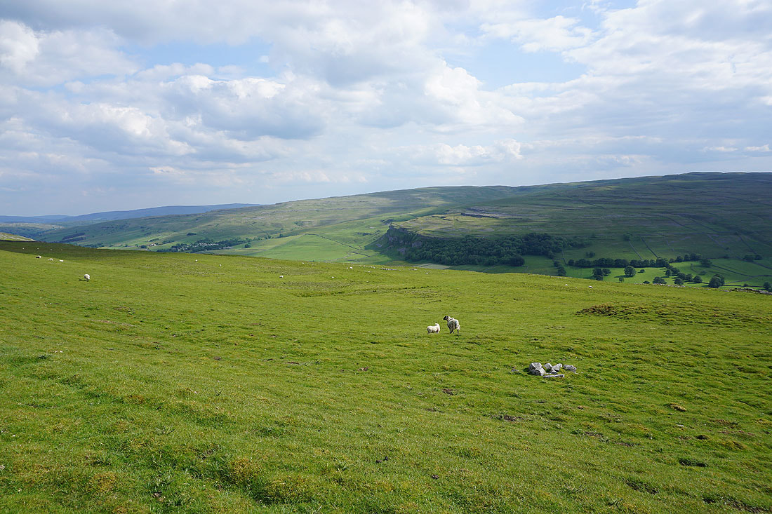
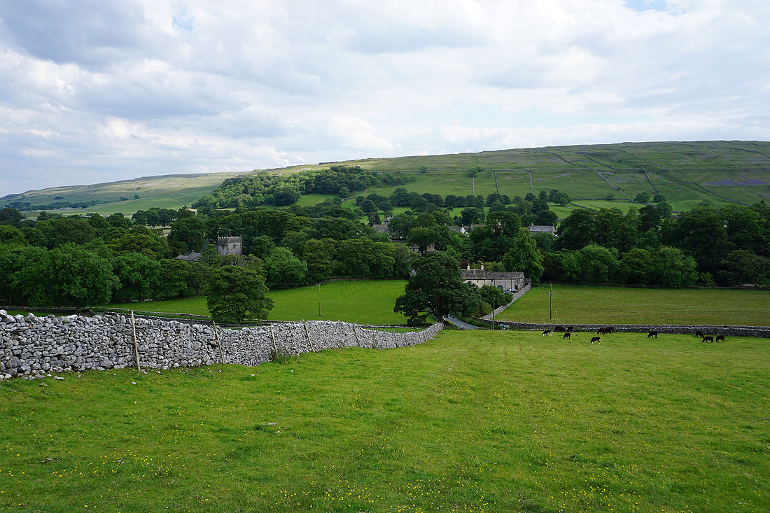
Halton Gill and Littondale from the bridleway up onto Horse Head Moor
The hamlet of Foxup at the top of Littondale
As I gain height the view becomes more extensive. Looking across Littondale to Fountains Fell.
Penyghent, Plover Hill and Ingleborough
Approaching the trig point on Horse Head Moor
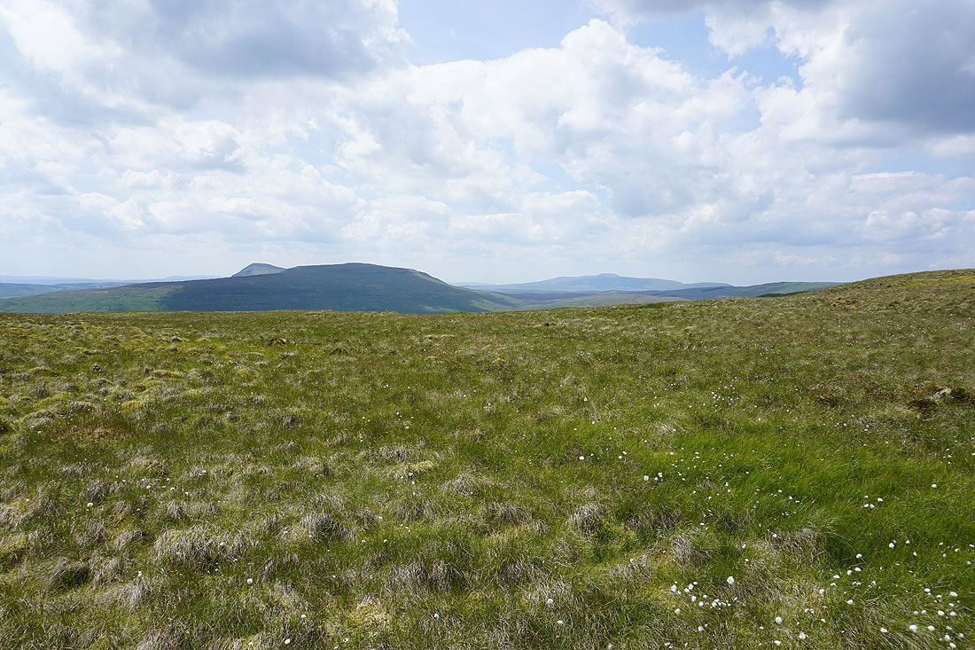
Penyghent, Plover Hill and Ingleborough from Horse Head Moor
Fountains Fell, Penyghent and Plover Hill
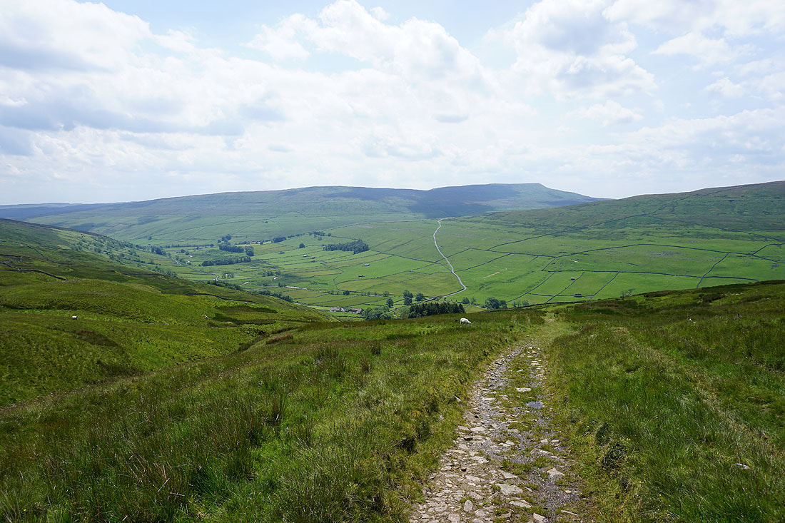
Looking southeast along the moorland ridge that I'll soon be walking
and to the northwest, with Dodd Fell Hill, Great Shunner Fell and Lovely Seat in the distance
Yockenthwaite Moor on the other side of a hidden Langstrothdale
Buckden Pike on the other side of Wharfedale
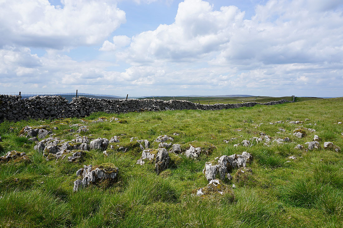
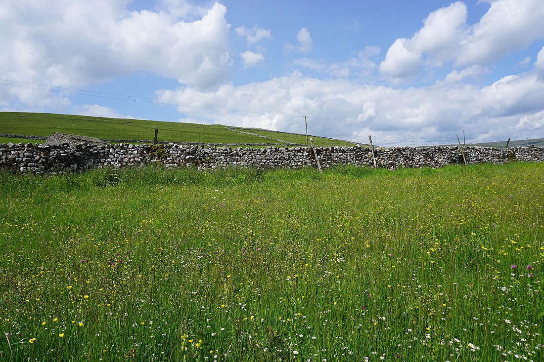
A patch of moorland limestone
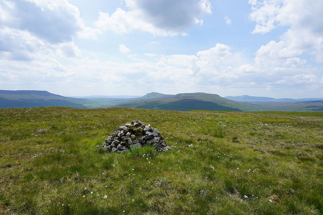
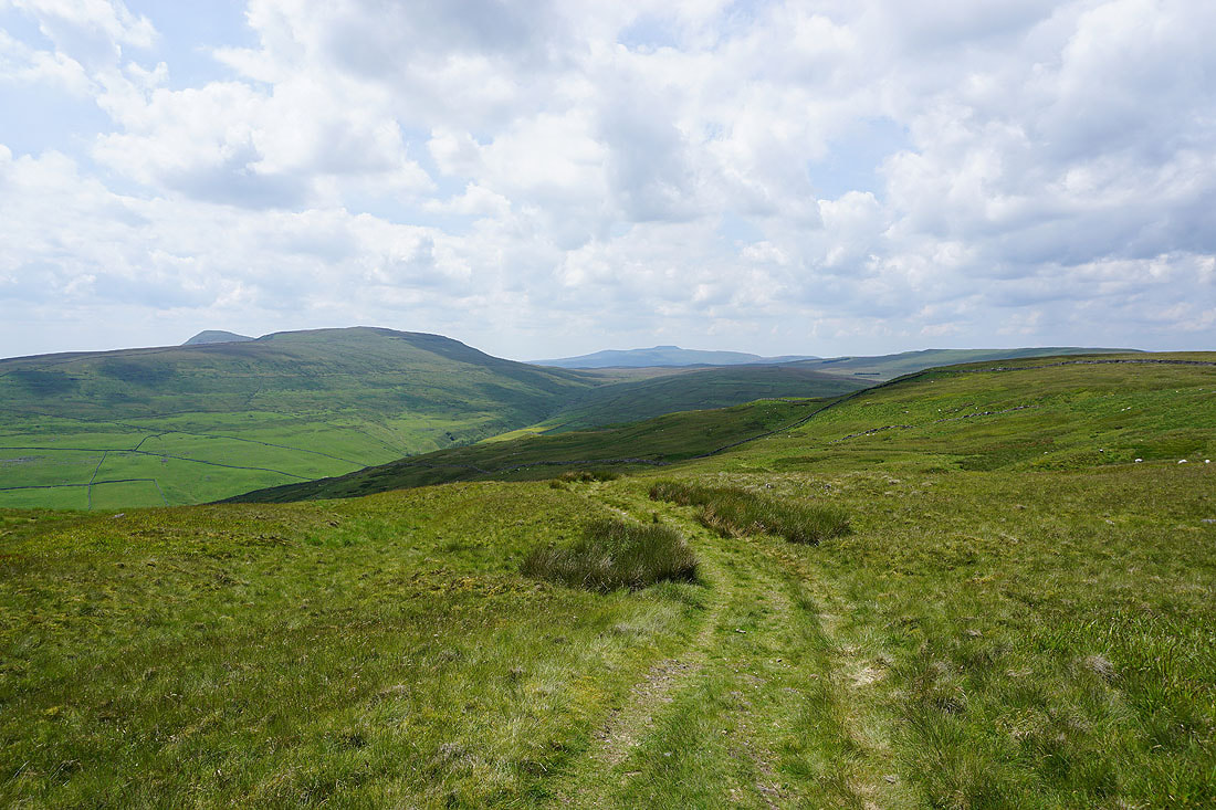
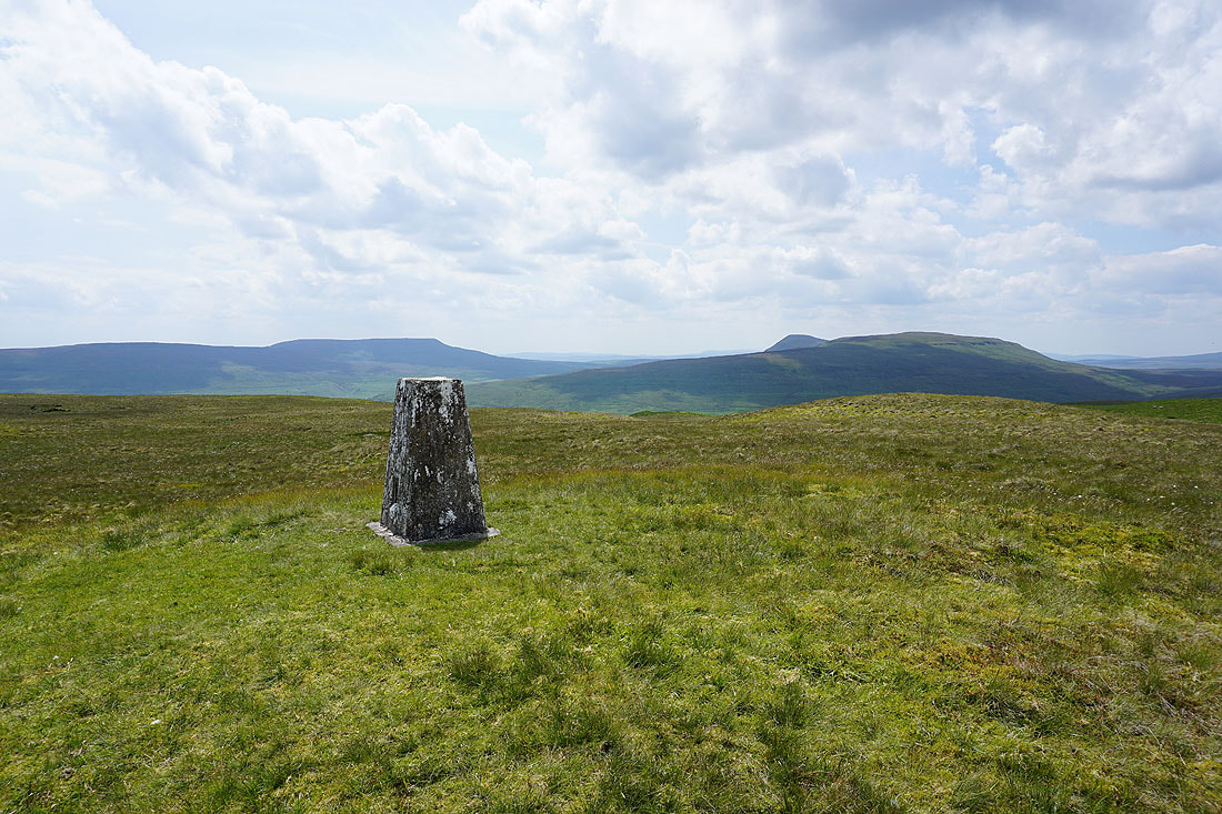
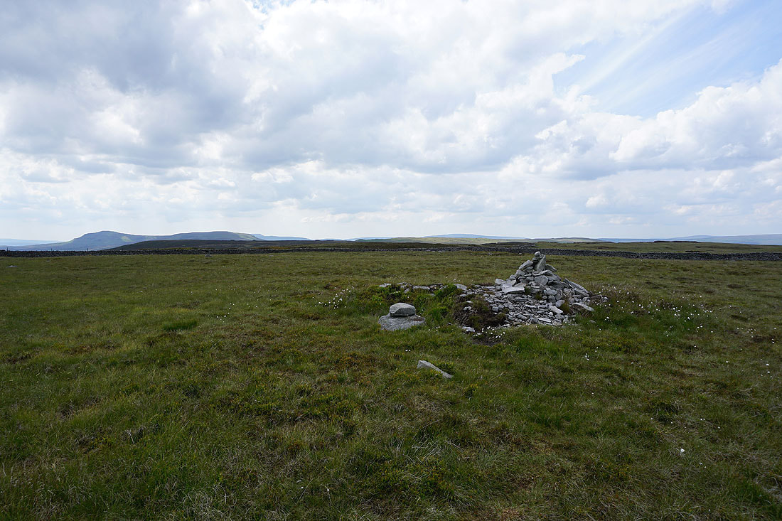
Fountains Fell, Penyghent, Plover Hill and Ingleborough from the cairn on Sugar Loaf

Looking northwest, back to Horse Head Moor
Buckden Pike to the east
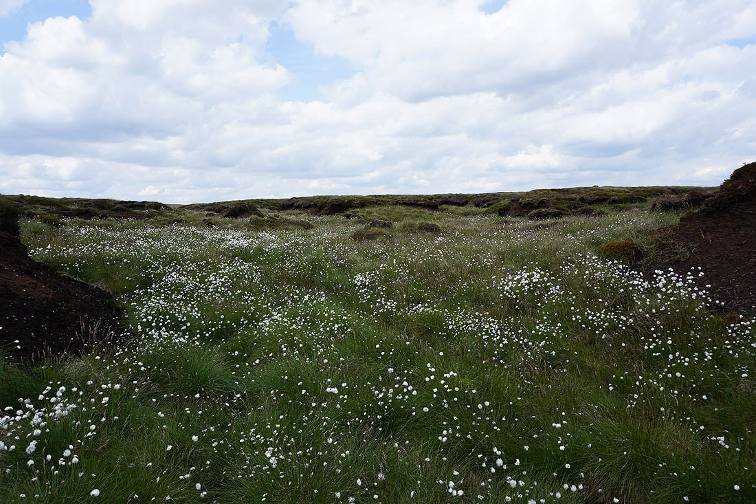
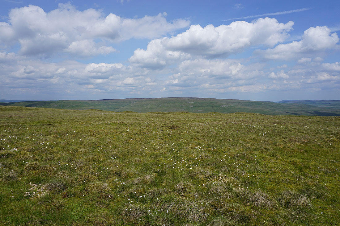
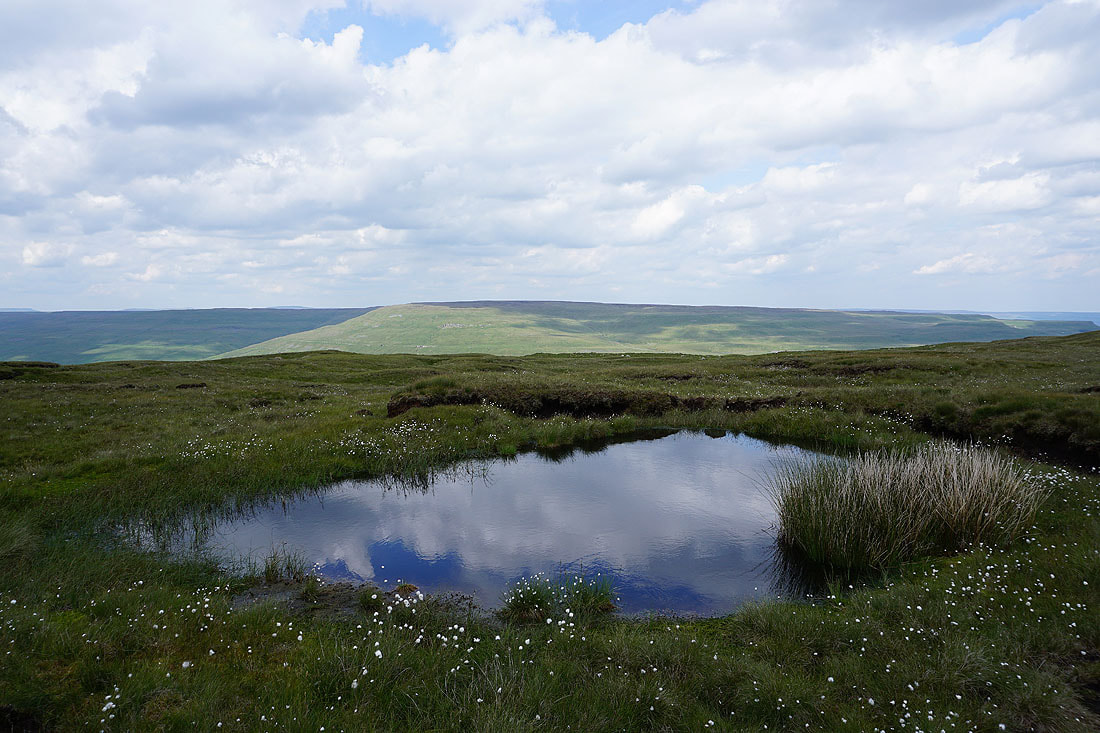
A mass of cotton grass
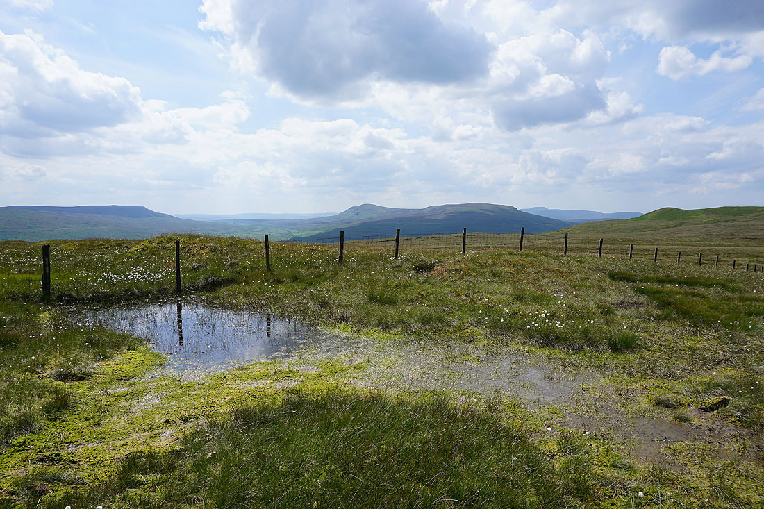
A mossy pool provides a foreground for a view of Fountains Fell, Penyghent, Plover Hill and Ingleborough

Looking back along the ridge to Sugar Loaf
Heading east along the ridge towards Birks Fell
Yockenthwaite Moor
On a fine summer's afternoon such as this I can't think of anywhere else I'd rather be....
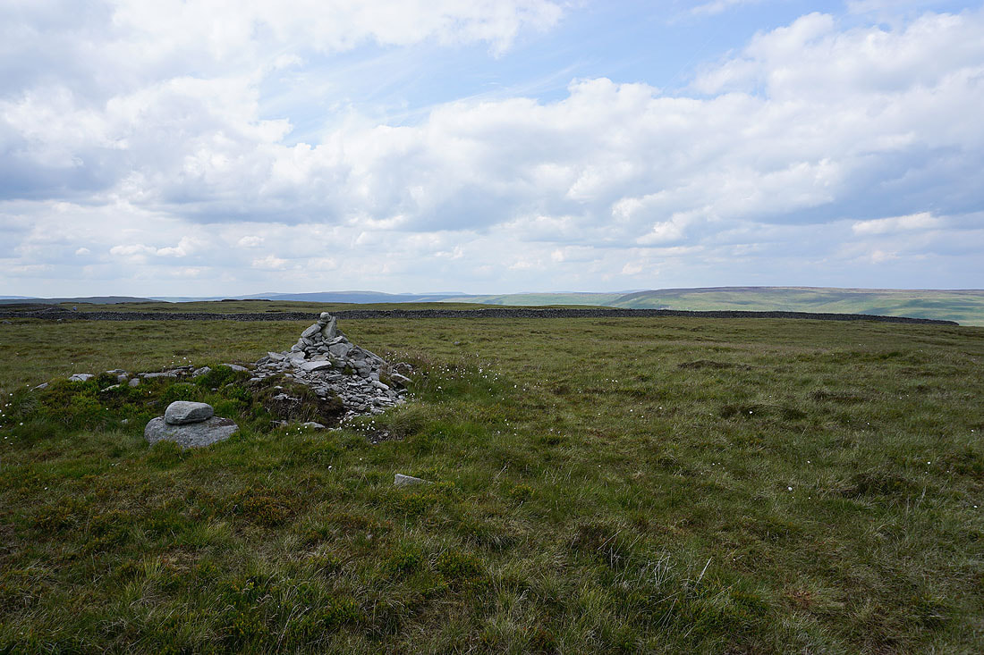
Penyghent, Plover Hill and Whernside in the distance as I reach the cairn on Birks Fell
Buckden Pike and Great Whernside
Dodd Fell Hill, Wild Boar Fell and Yockenthwaite Moor
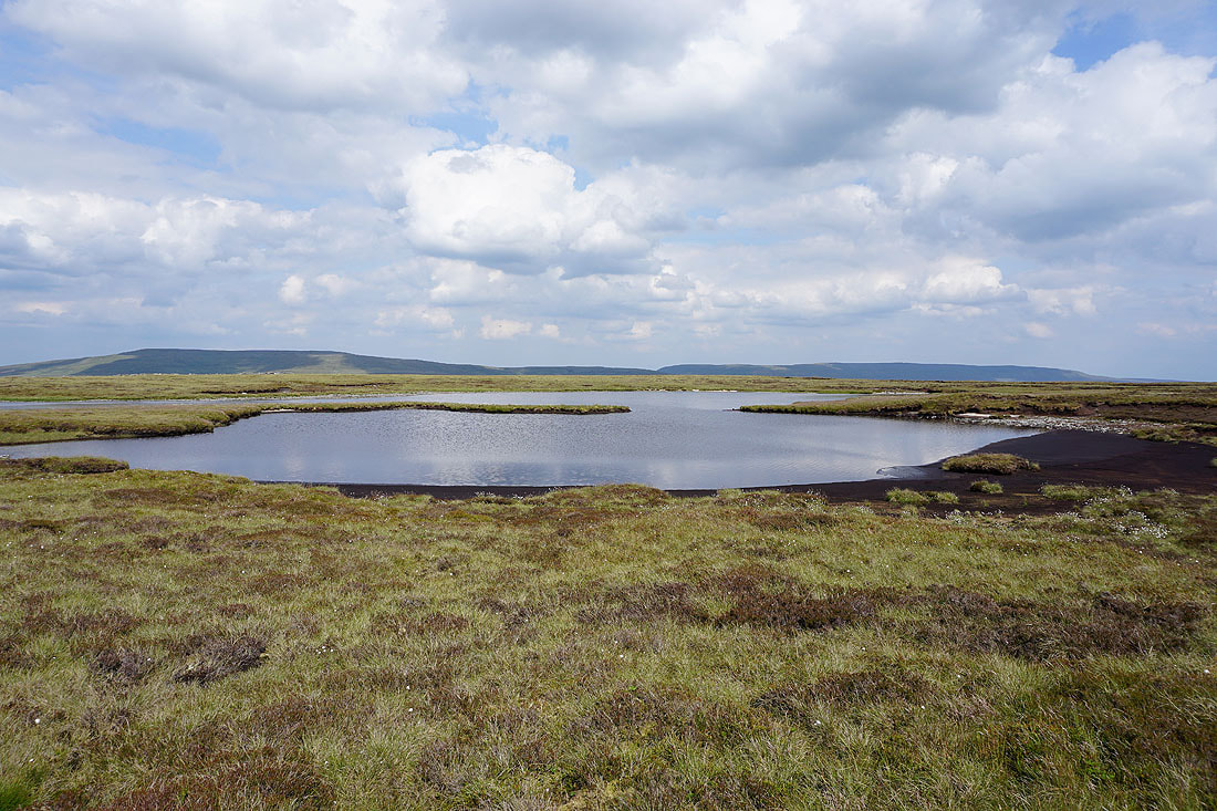
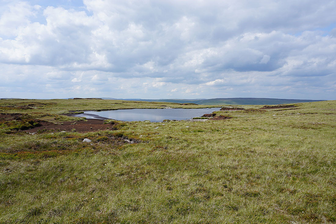
Birks Tarn
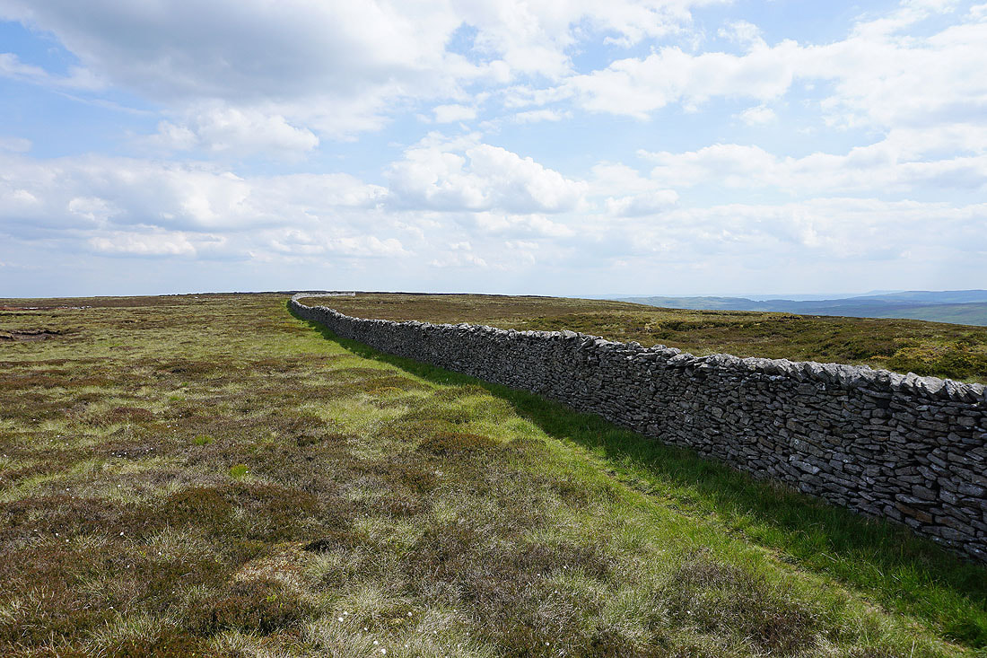
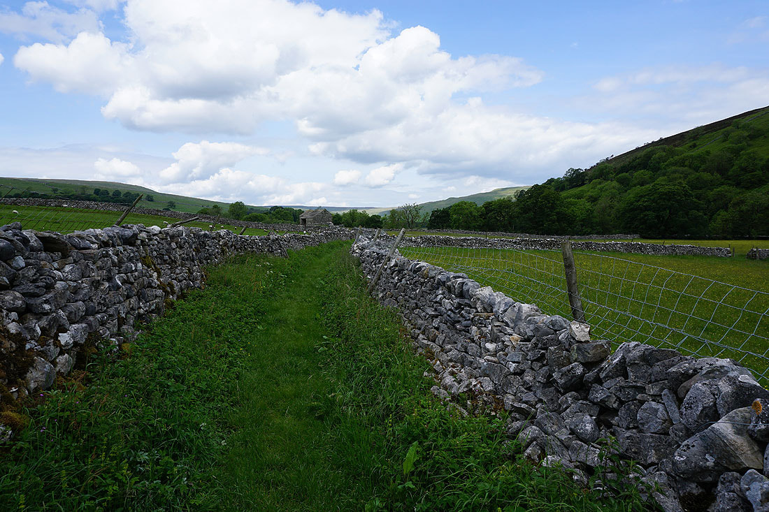
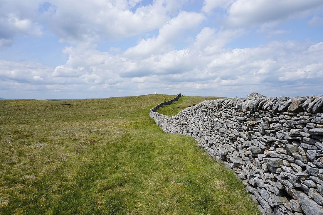
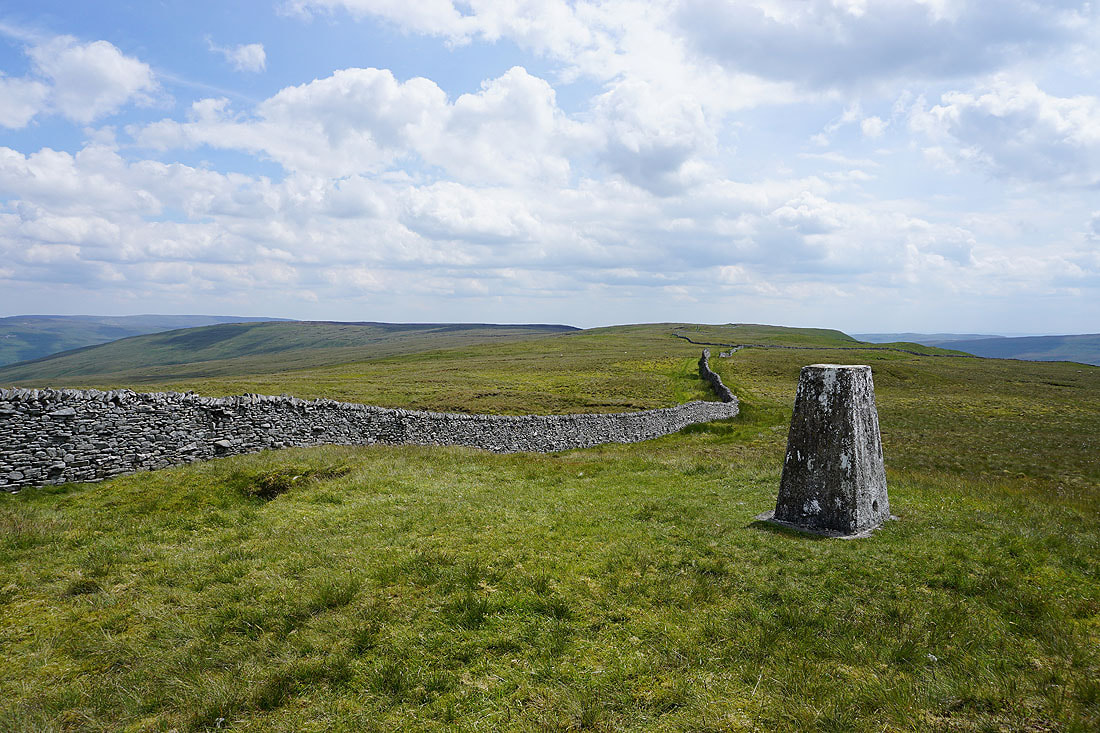
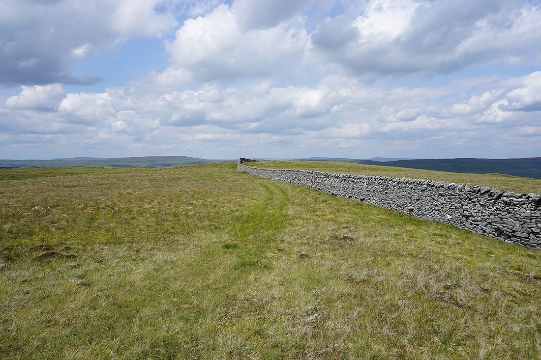
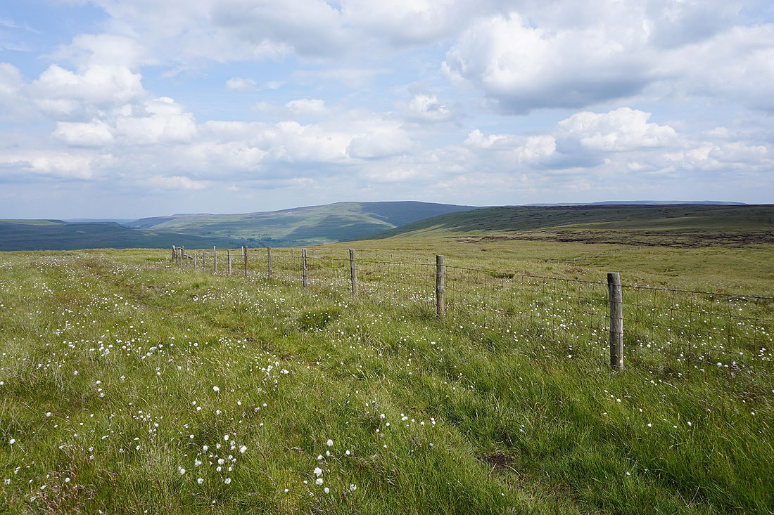
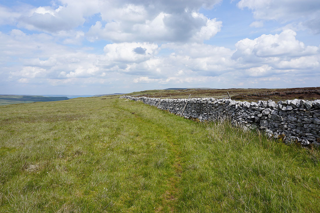
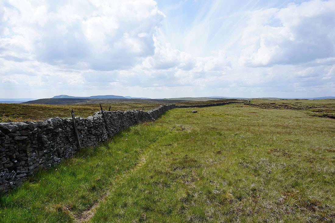
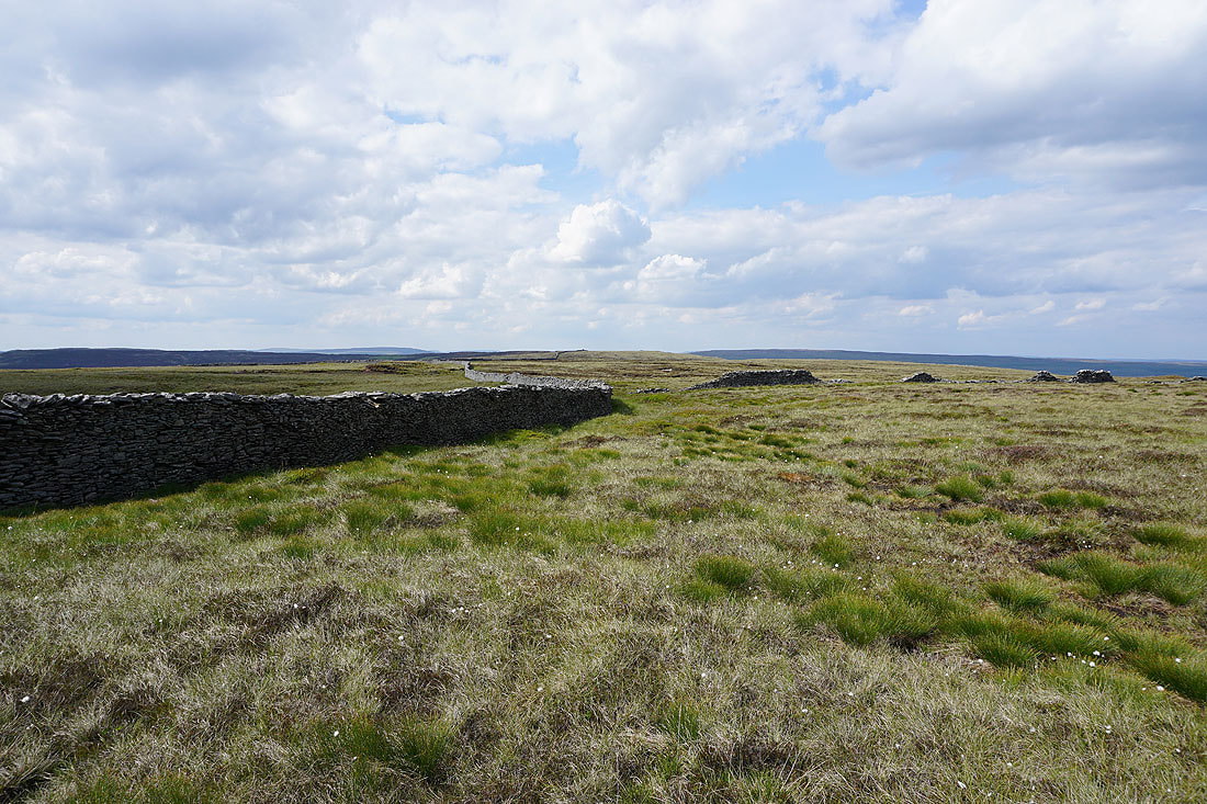
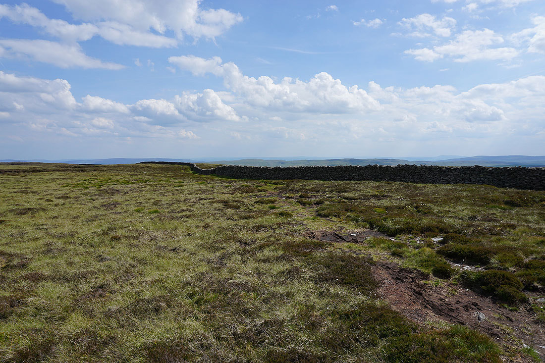
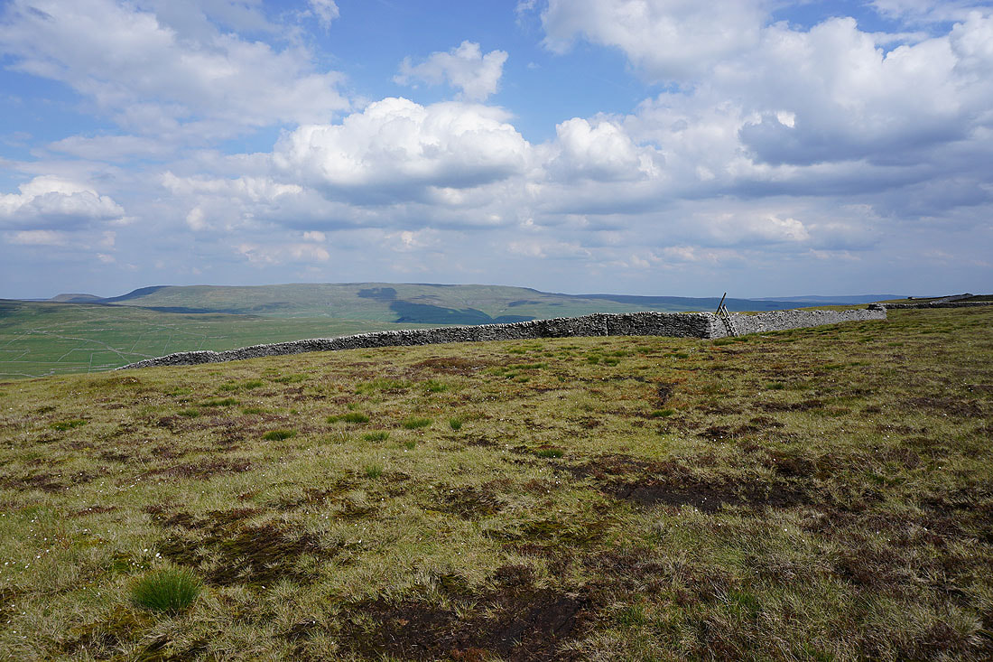
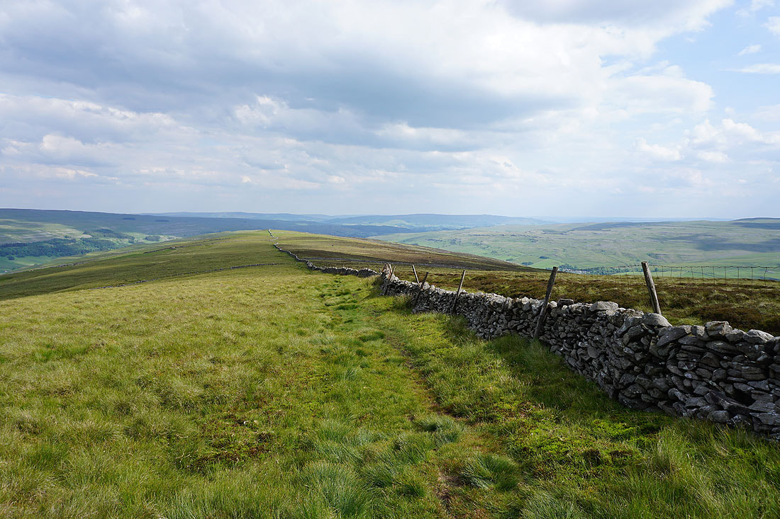
Following the wall south along the ridge..
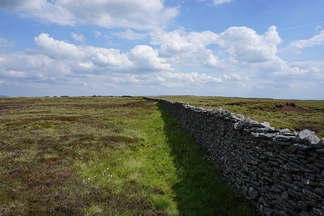
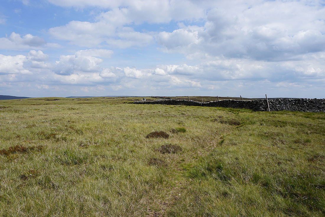
A look back along the ridge as I reach where the Buckden to Litton bridleway crosses the moor
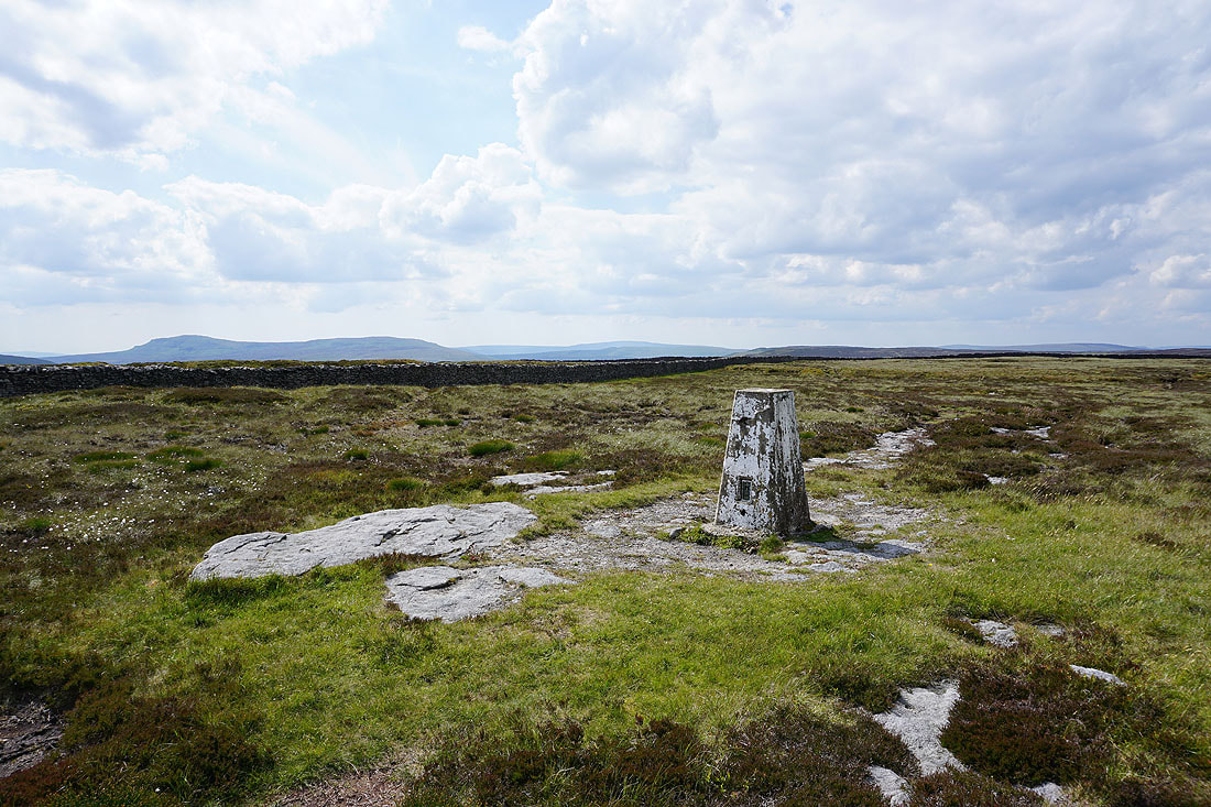
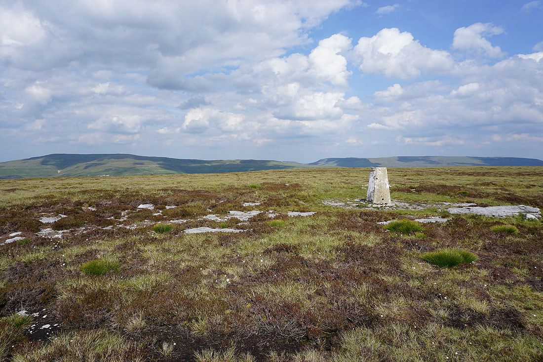
Penyghent, Plover Hill and Whernside in the distance from the trig point on Old Cote Moor Top
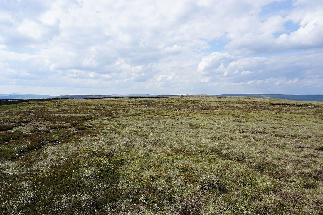
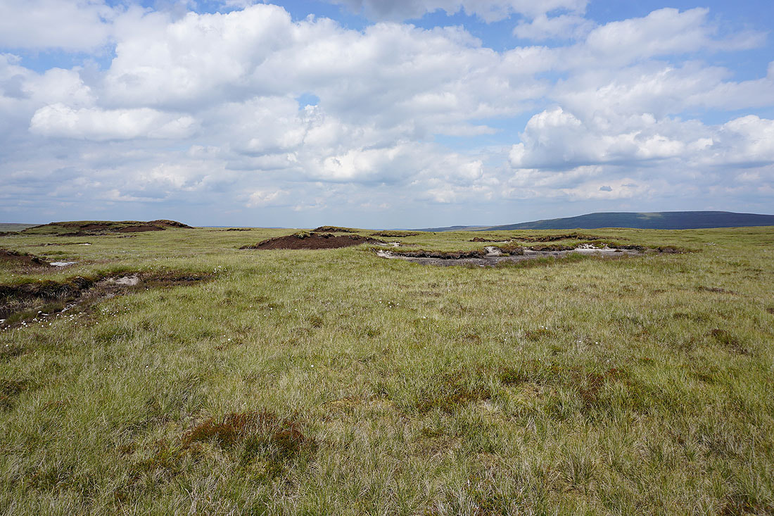
A broad expanse of moorland to the north towards Birks Fell
Looking over the wall, Barden Moor on the left and the moorland to the north of Malham Tarn on the right
Buckden Pike and Great Whernside
Great Whernside as I approach the stile to cross to the eastern side of the wall
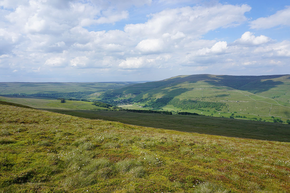
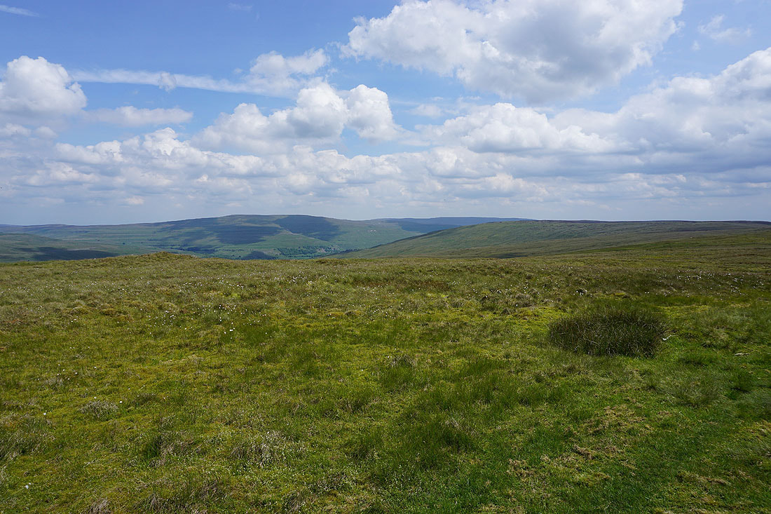
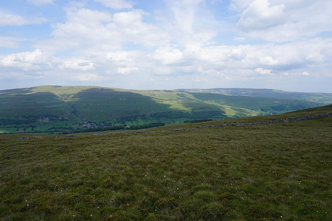
Wharfedale and Buckden Pike
Great views down Wharfedale as I follow the ridge south..
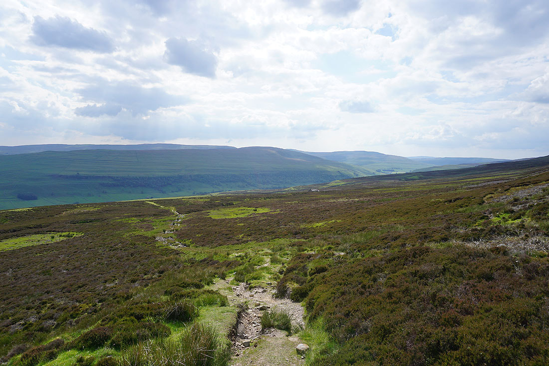
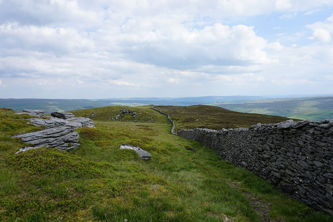
The ridge is left behind for the bridleway down to Arncliffe
Blue Scar with Field House Wood below it
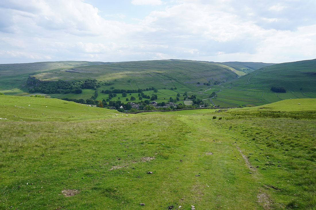
Making my descent to Arncliffe with the valley of Cowside Beck on the other side of Littondale...
Brighter skies in Arncliffe than when I left