22nd June 2020 - Pendle Hill
Walk Details
Distance walked: 7.0 miles
Total ascent: 1012 ft
OS map used: OL41 - Forest of Bowland & Ribblesdale
Time taken: 3.5 hrs
Route description: Nick of Pendle-Pendleton Moor-Ogden Clough-Pendle Hill-Downham Moor-Worston Moor-Scout Cairn-Mearley Moor-Pendleton Moor-Nick of Pendle
I've got the day off work, so I decided to head this afternoon and make the most of a fine day. It didn't take me long to decide on a walk up Pendle Hill, as it's been a long seven months since my last one. I certainly hadn't intended there to be such a gap, but when the full lockdown restrictions were in place I wasn't comfortable with walking on Pendle Hill, given that it's so busy. The lifting of restrictions and it being a weekday, so relatively quiet, meant I was comfortable with today. There's some hot weather forecast for this week but today is the day before that arrives. So, although it was quite warm and humid, there was a lot of cloud around and only a little sunshine from time to time.
From my starting point at one of the laybys on the road across the Nick of Pendle I made my way up onto Pendleton Moor, making a short diversion to Deerstones before returning to the path to Ogden Clough. I kept on the path as it made its way into Ogden Clough and followed it all the way up to the trig point and summit. I then crossed the stile onto Downham Moor, followed the path west, and crossed the stile onto Worston Moor to reach the Scout Cairn. I then walked across Mearley Moor before crossing the top of Howcroft Brook to pick up the path across Pendleton Moor back to the Nick of Pendle.
Route map
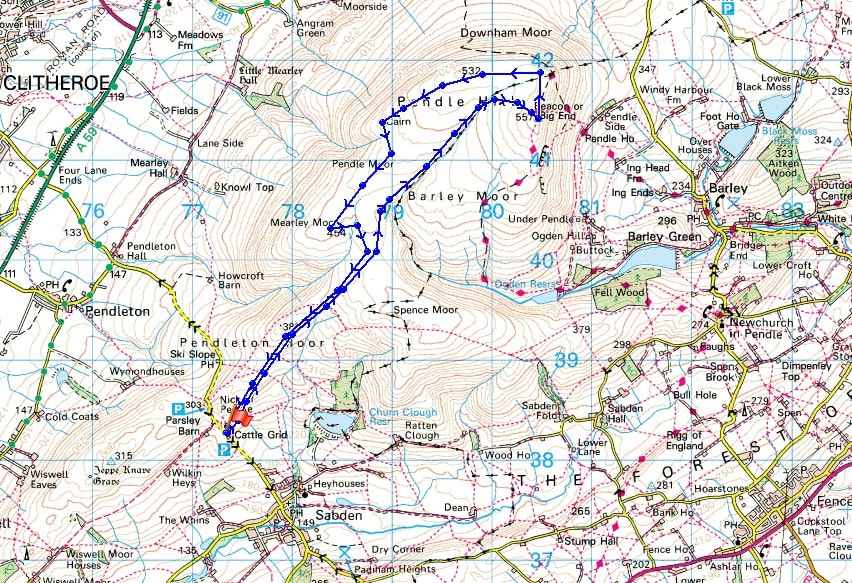
© Crown copyright. All rights reserved. License number PU 100034184.
Looking across the Ribble Valley to Longridge Fell, Parlick, Fair Snape Fell, Totridge, and Easington Fell as I set off from the Nick of Pendle
and looking down the Ribble Valley
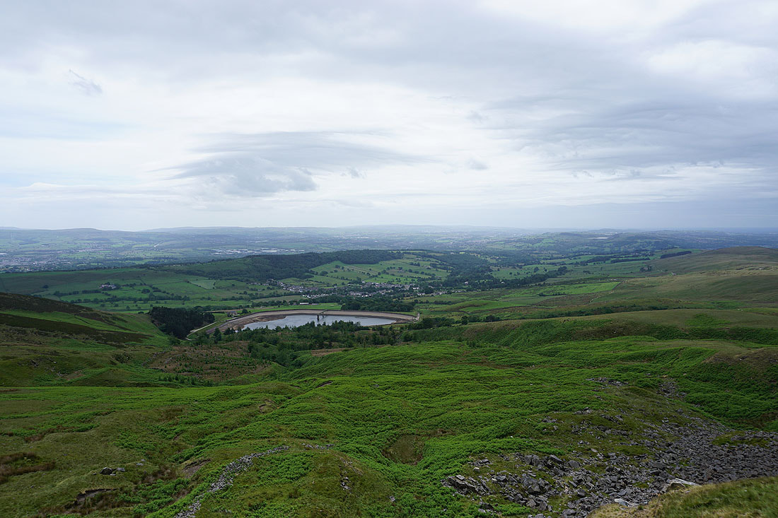
Churn Clough Reservoir, Black Hill and Sabden from Deerstones
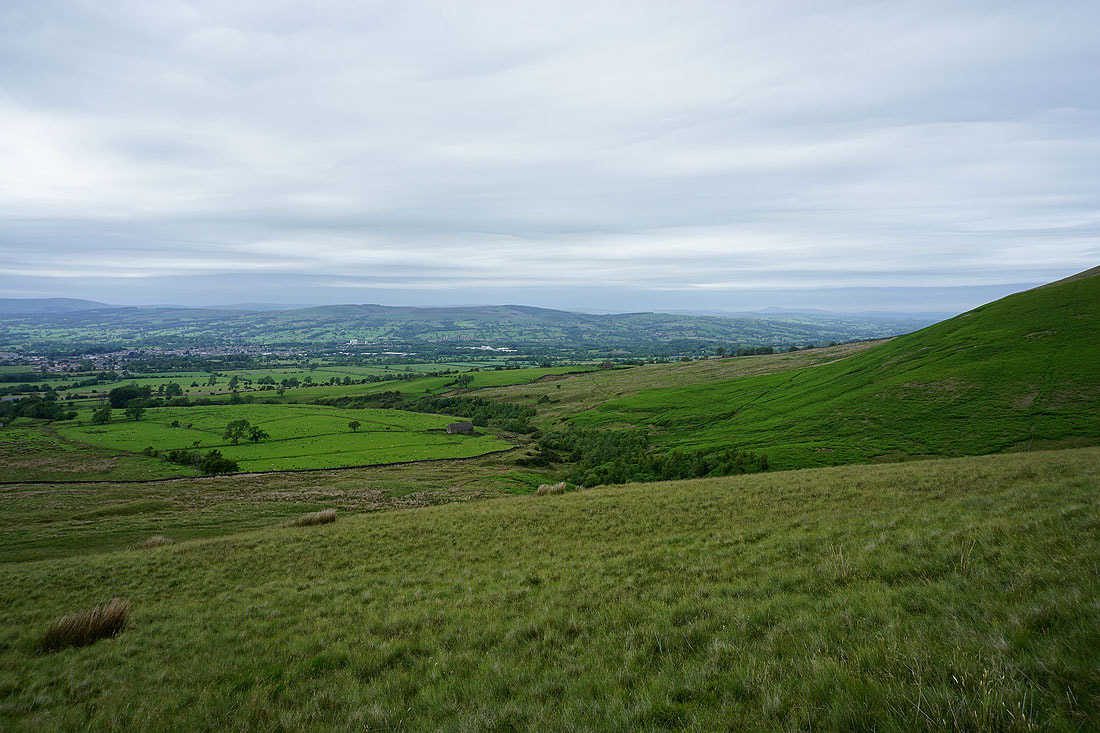
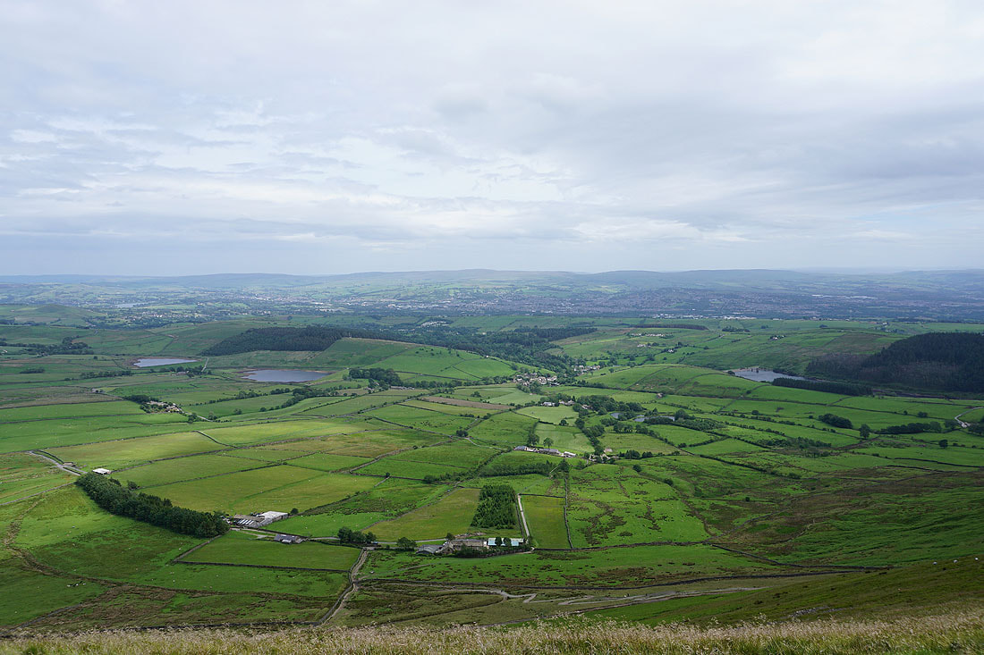
Pendleton Moor and the Ribble Valley
Heading for Ogden Clough
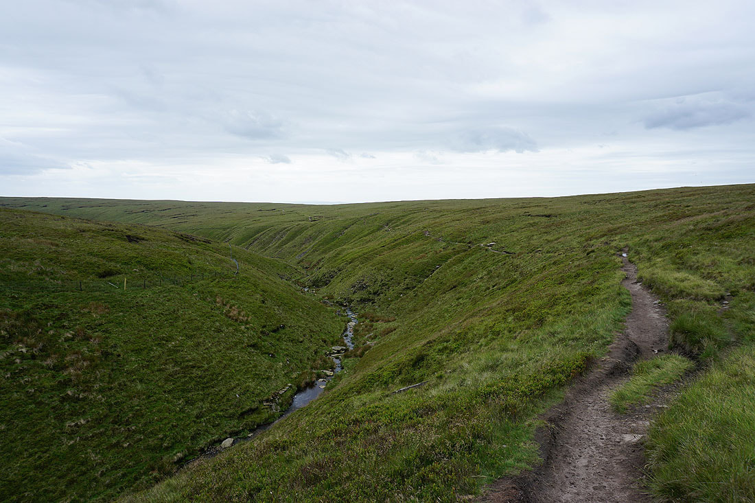
Ogden Clough as I follow the path upstream..
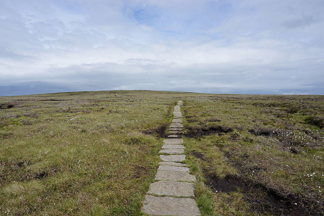
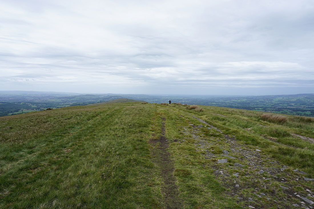
On the flagged path to the summit from Ogden Clough
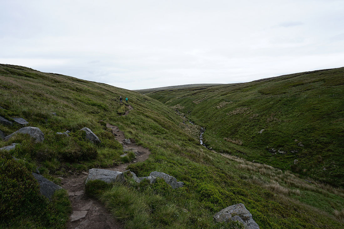
Looking back to Ogden Clough with the Ribble Valley in the distance
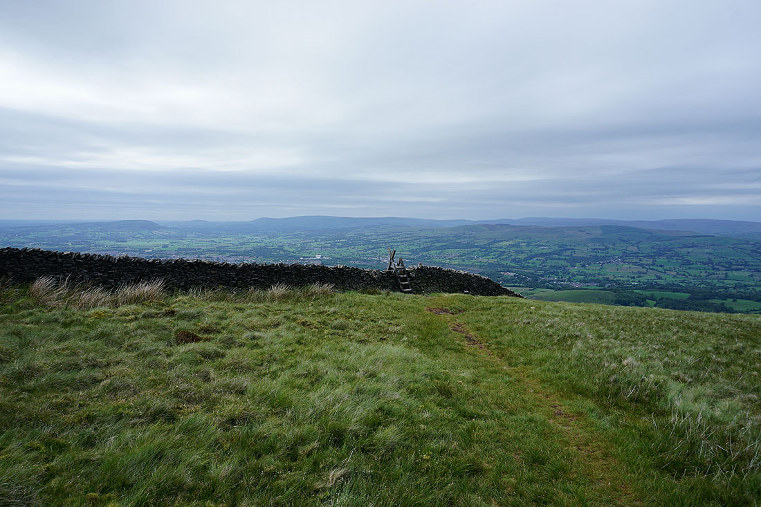
The fells of the Forest of Bowland beyond the nearby Downham Moor
On the summit of Pendle Hill with the Black Moss Reservoirs and Barley below
The view north to the Yorkshire Dales is a little on the hazy side
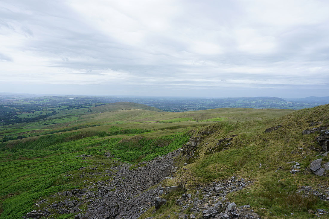
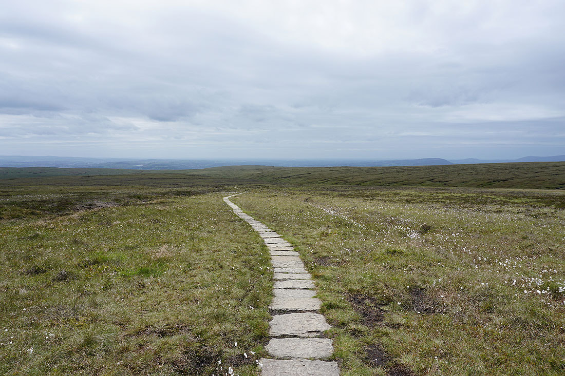
The Forest of Bowland in the distance beyond Downham Moor
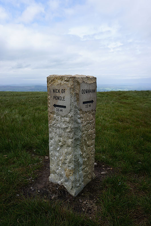
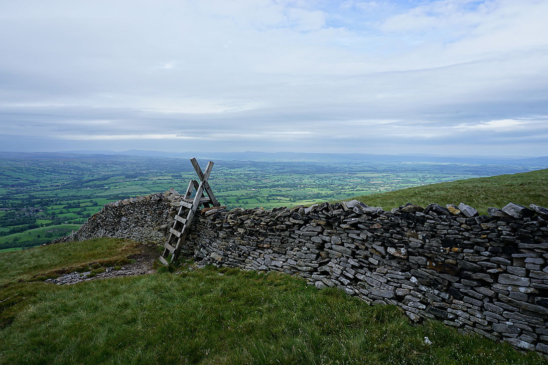
One of a number of waymarkers that have appeared recently, and since I started from the Nick of Pendle, I have no doubts about which way I should go
On Downham Moor and looking east to Weets Hill, with Barden Moor in the distance
Ingleborough, Penyghent and Fountains Fell to the north
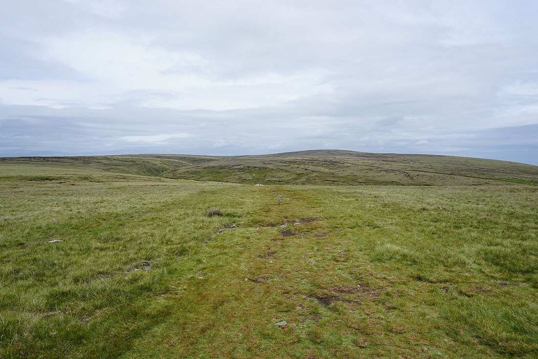
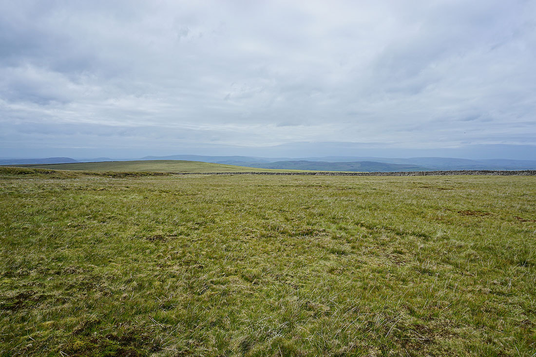
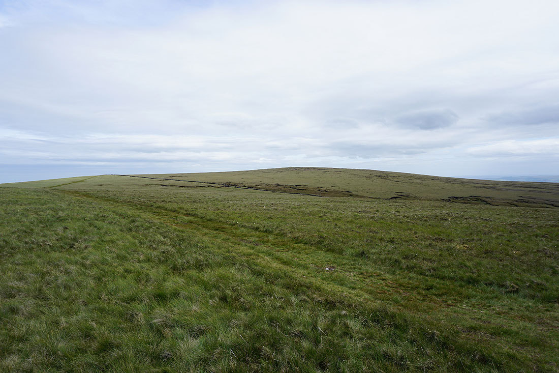
Heading west across Downham Moor
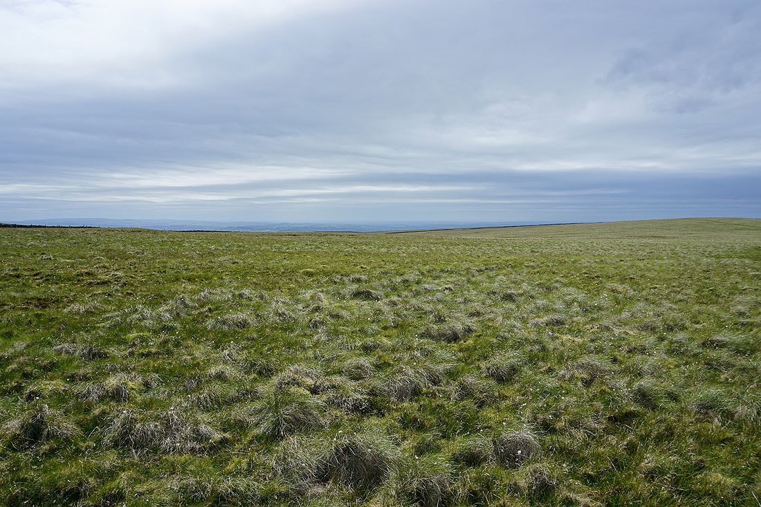
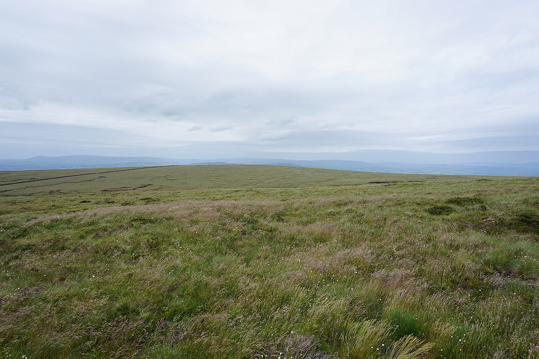
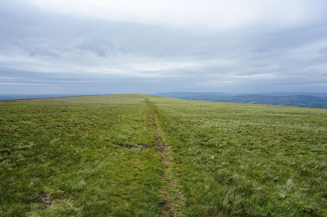
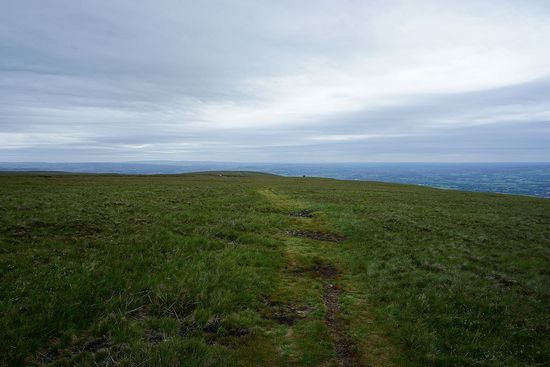
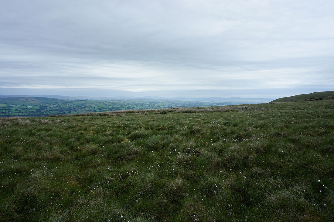
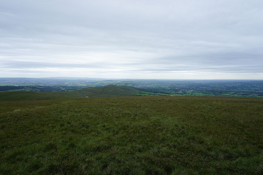
A sea of grass
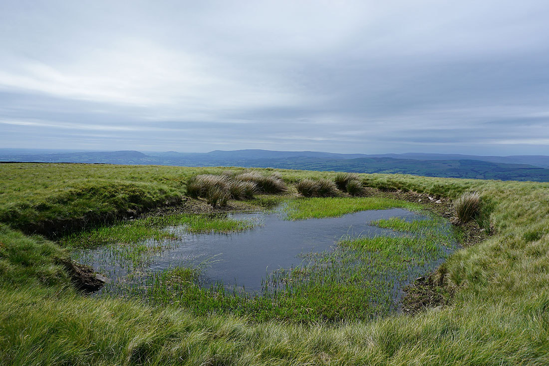
The Forest of Bowland from the pool on Downham Moor..
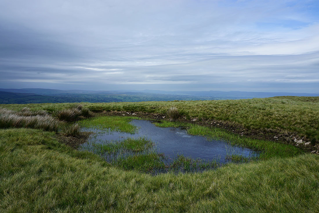
..and looking to Ingleborough and Penyghent in the Yorkshire Dales. More rain is still needed to fill it.
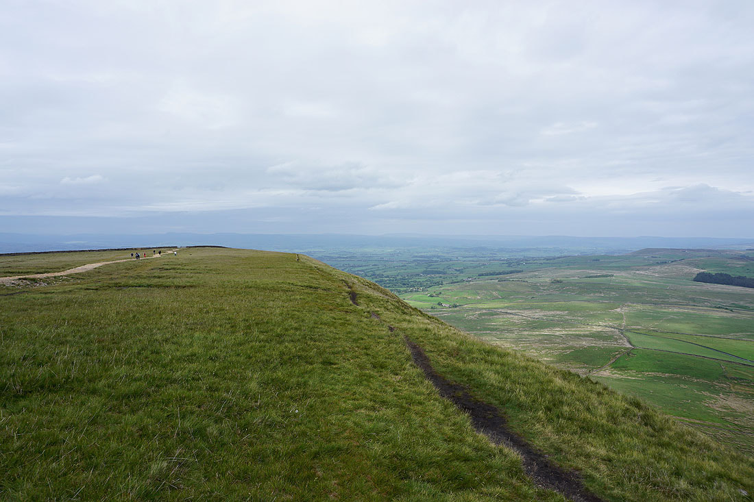
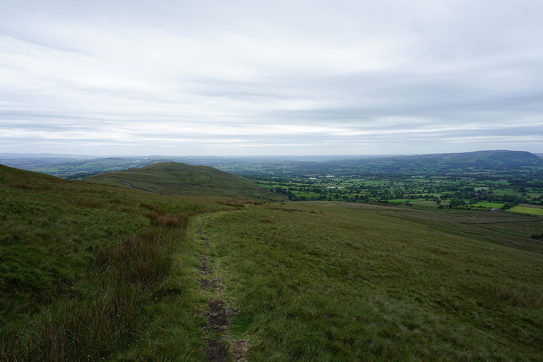
Looking back to the summit of Pendle Hill
Across the stile onto Worston Moor
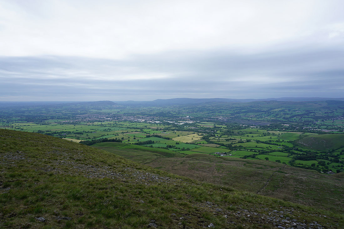
The Ribble Valley below, with Ingleborough, Penyghent and Fountains Fell in the distance
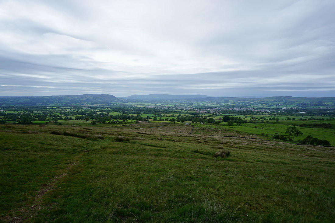
Looking across the Ribble Valley and Clitheroe to Longridge Fell, Parlick, Fair Snape Fell and Totridge..
..and up the Ribble Valley to the Yorkshire Dales
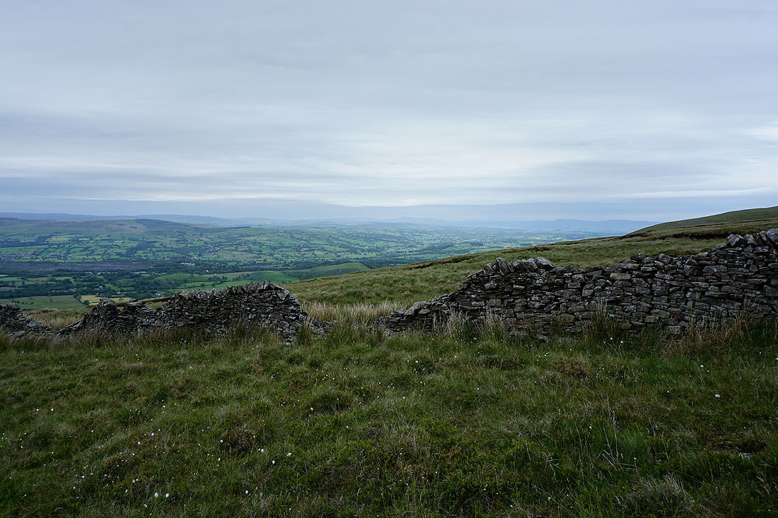
Heading across Worston Moor..
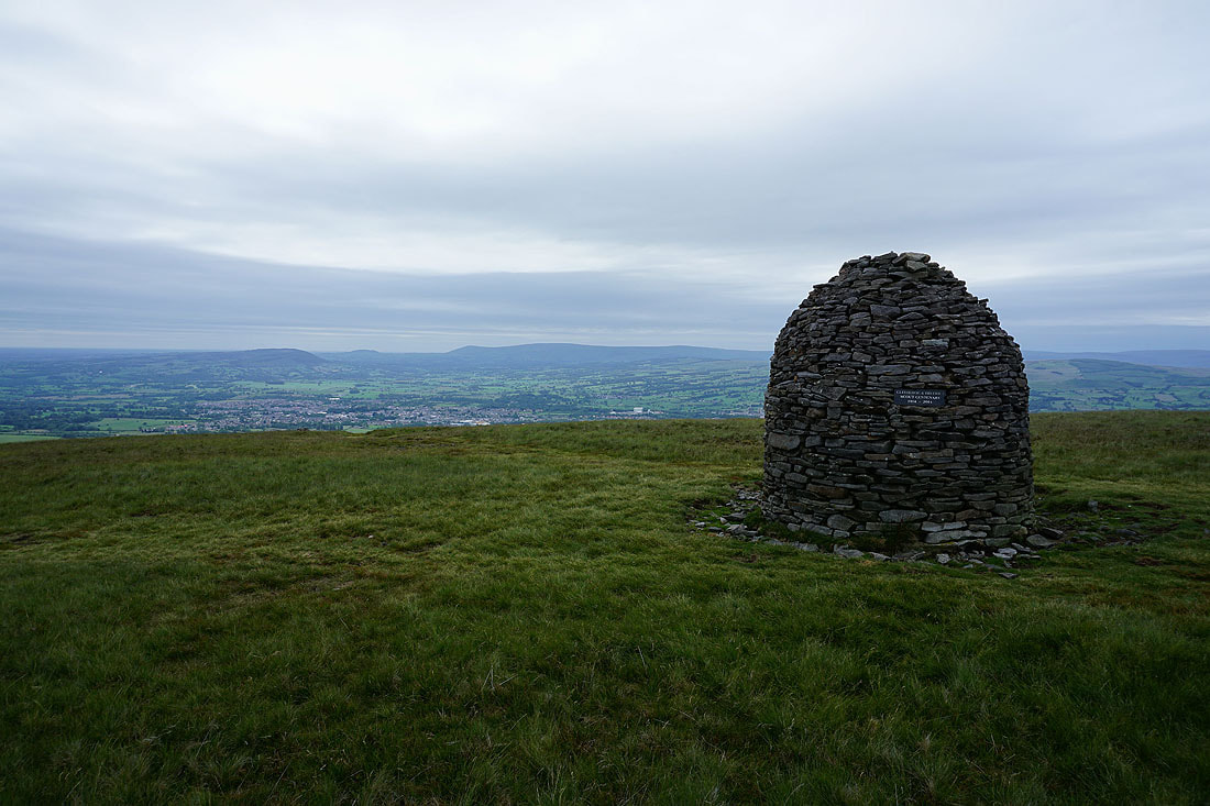
..to the Scout Cairn
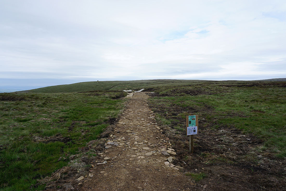
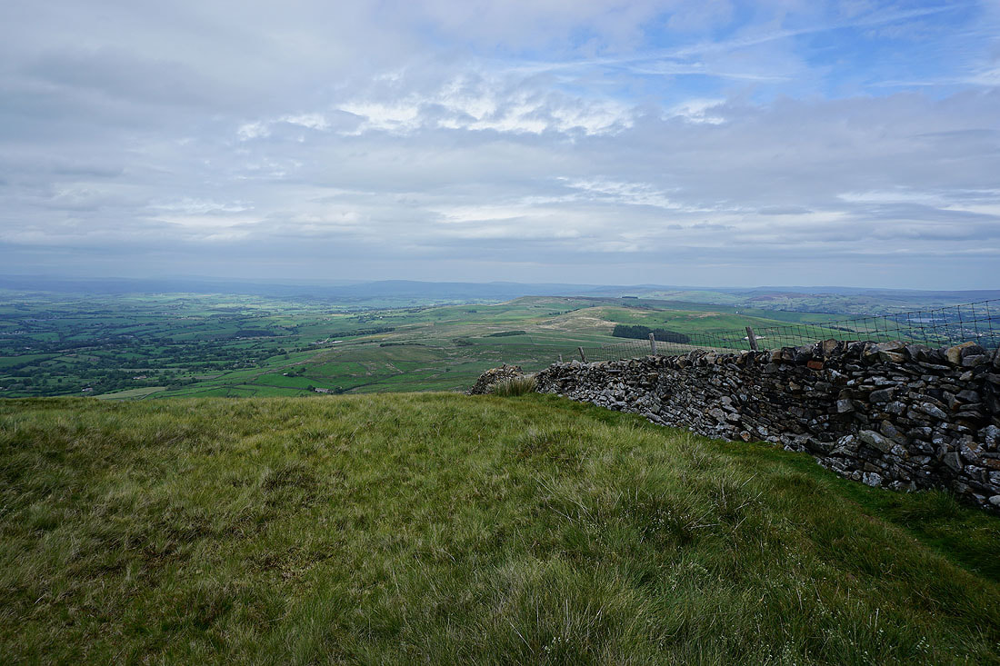
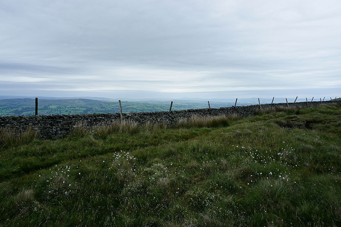
The path onto Mearley Moor has had some work done on it. Time will be required for it to blend in.
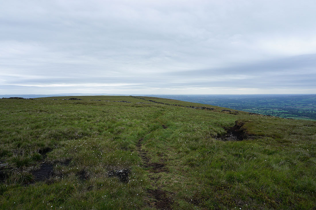
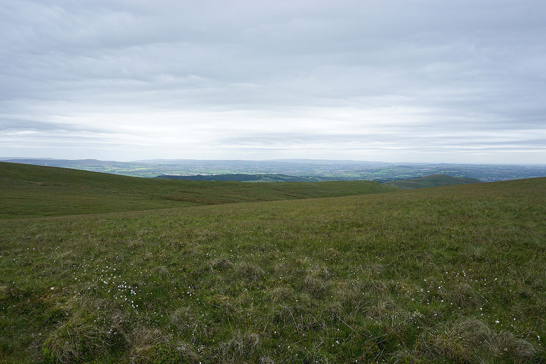
Heading across Mearley Moor
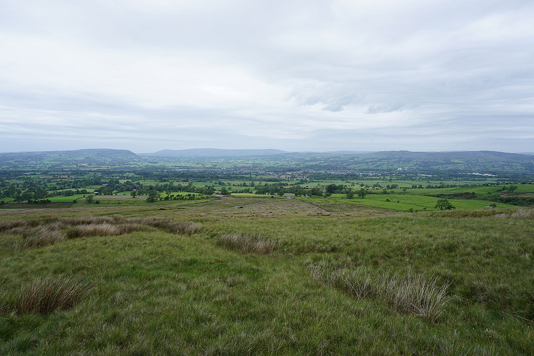
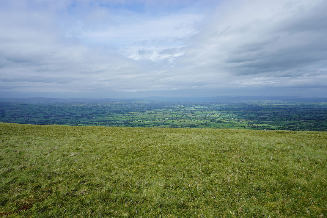
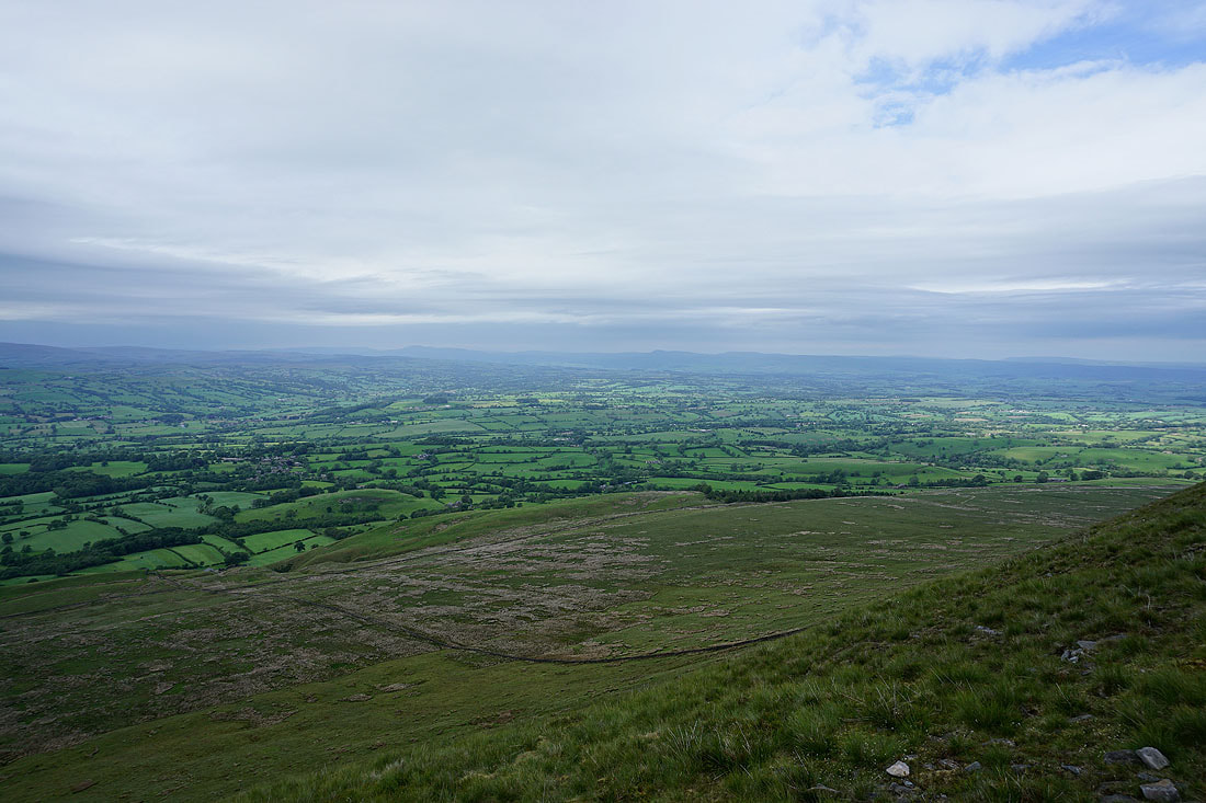
Views across the Ribble Valley to the distant Yorkshire Dales from Mearley Moor...
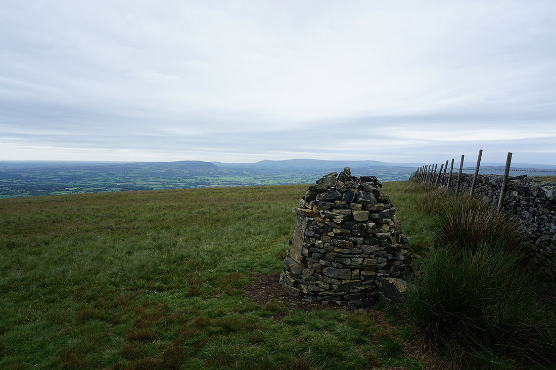
Longridge Fell, Parlick, Fair Snape Fell and Totridge from the cairn at the end of Mearley Moor
The moorland of The Rough and the Ribble Valley
The West Pennine Moors in the distance
Heading back down to the Nick of Pendle with views across the Ribble Valley...