22nd March 2023 - Weets Top from Malham
Walk Details
Distance walked: 9.6 miles
Total ascent: 1687 ft
OS map used: OL2 - Yorkshire Dales, Southern & Western areas
Time taken: 6 hrs
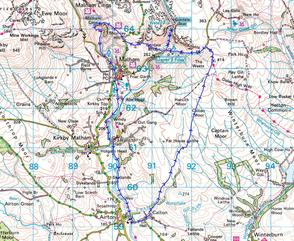
Route description: Malham-Scalegill Mill-Hanlith Bridge-Pennine Way-Airton-Calton Lane-Calton-Foss Gill-Calton Moor-Weets Top-Hawthorns Lane-Gordale Scar-Gordale Bridge-Dales High Way-Malham Rakes-Malham Cove-Pennine Way-Malham
I'm off work today so I decided to head to Malham for a walk. It being a work day I knew it would be much quieter than during the weekend, and that proved to be the case. I took the opportunity to have a bite to eat in The Old Barn Tearoom before setting off. The route I went for was a variation of previous walks from Malham to Weets Top, but I wanted to take in some footpaths and bridleways that I hadn't used before. With this in mind I walked up to the hamlet of Calton from Airton and took the bridleway up Calton Moor to reach Weets Top, and while I was doing that I could visit Foss Gill. I had some changeable weather for this walk, blue skies and sunny spells until I reached Calton, and then the skies clouded over for the afternoon as I was following the bridleway up to Weets Top. For a while there was a little bit of light rain but fortunately the cloud broke up to allow some sunshine for taking in the view from the top of Malham Cove.
From Malham I took the footpath south past Aire Head to Scalegill Mill and to Hanlith Bridge, which I crossed, and then the Pennine Way south to Airton. I then walked up Calton Lane into the hamlet of Calton and along Kell Syke Lane to reach a bridleway down to Foss Gill. I took this down a track to Foss Gill, and after a brief detour to see the waterfalls on Foss Gill, I followed the bridleway north up Calton Moor to eventually arrive on Weets Top, where I stopped for lunch. Break had, I left Weets Top by the bridleway down to Hawthorns Lane, then walked down Hawthorns Lane to reach the footpath to Gordale Scar. After visiting Gordale Scar I returned to Hawthorns Lane, and once across Gordale Bridge I took the footpath on the right across to the road of Malham Rakes. I crossed the road and took the footpath opposite to reach the eastern edge of Malham Cove, and after crossing the limestone pavement I got onto the trail of the Pennine Way, which I followed back to Malham.
Total ascent: 1687 ft
OS map used: OL2 - Yorkshire Dales, Southern & Western areas
Time taken: 6 hrs
Route description: Malham-Scalegill Mill-Hanlith Bridge-Pennine Way-Airton-Calton Lane-Calton-Foss Gill-Calton Moor-Weets Top-Hawthorns Lane-Gordale Scar-Gordale Bridge-Dales High Way-Malham Rakes-Malham Cove-Pennine Way-Malham
I'm off work today so I decided to head to Malham for a walk. It being a work day I knew it would be much quieter than during the weekend, and that proved to be the case. I took the opportunity to have a bite to eat in The Old Barn Tearoom before setting off. The route I went for was a variation of previous walks from Malham to Weets Top, but I wanted to take in some footpaths and bridleways that I hadn't used before. With this in mind I walked up to the hamlet of Calton from Airton and took the bridleway up Calton Moor to reach Weets Top, and while I was doing that I could visit Foss Gill. I had some changeable weather for this walk, blue skies and sunny spells until I reached Calton, and then the skies clouded over for the afternoon as I was following the bridleway up to Weets Top. For a while there was a little bit of light rain but fortunately the cloud broke up to allow some sunshine for taking in the view from the top of Malham Cove.
From Malham I took the footpath south past Aire Head to Scalegill Mill and to Hanlith Bridge, which I crossed, and then the Pennine Way south to Airton. I then walked up Calton Lane into the hamlet of Calton and along Kell Syke Lane to reach a bridleway down to Foss Gill. I took this down a track to Foss Gill, and after a brief detour to see the waterfalls on Foss Gill, I followed the bridleway north up Calton Moor to eventually arrive on Weets Top, where I stopped for lunch. Break had, I left Weets Top by the bridleway down to Hawthorns Lane, then walked down Hawthorns Lane to reach the footpath to Gordale Scar. After visiting Gordale Scar I returned to Hawthorns Lane, and once across Gordale Bridge I took the footpath on the right across to the road of Malham Rakes. I crossed the road and took the footpath opposite to reach the eastern edge of Malham Cove, and after crossing the limestone pavement I got onto the trail of the Pennine Way, which I followed back to Malham.
Route map
© Crown copyright. All rights reserved. License number PU 100034184.
Looking back to Malham as I take the path south to Aire Head
Looking back as I pass Aire Head and I can see the entrance to Gordale Scar
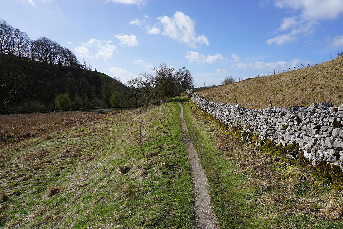
Following the path south to Scalegill Mill
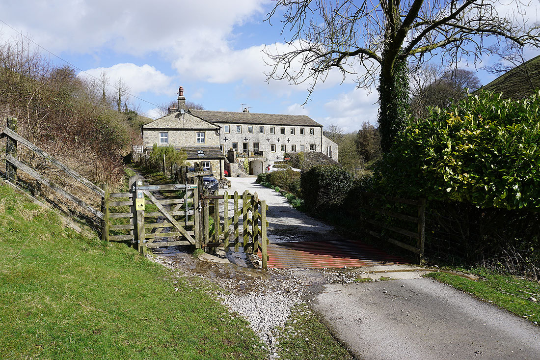
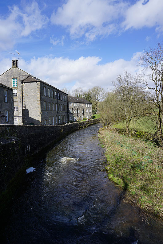
Passing Scalegill Mill
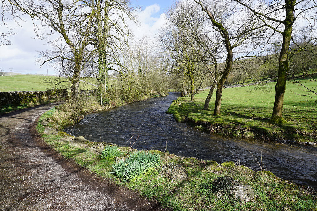
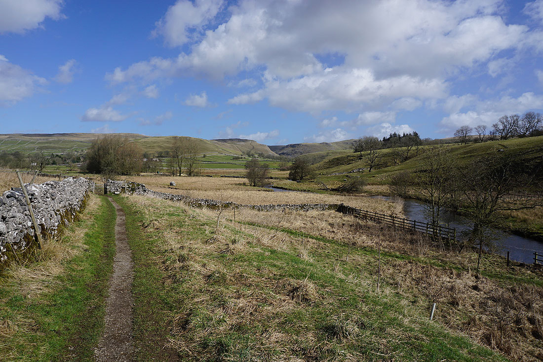
By the River Aire to Hanlith Bridge
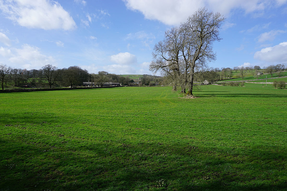
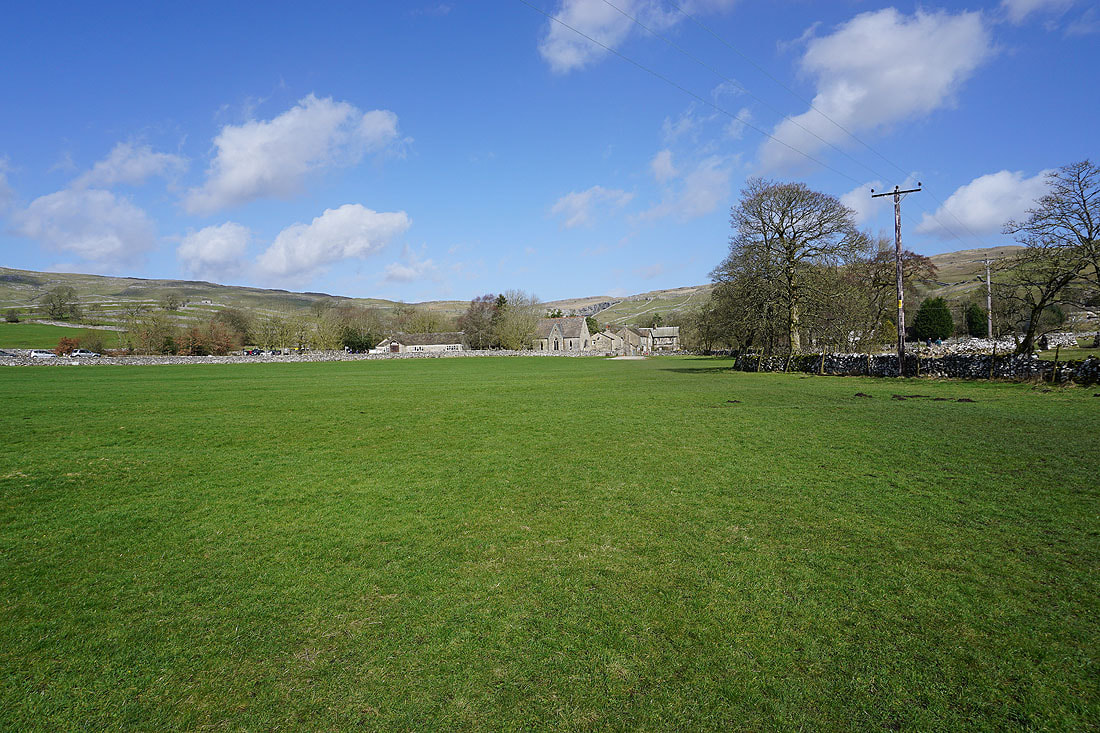
Across the fields to the tower of St. Michael the Archangel in Kirkby Malham
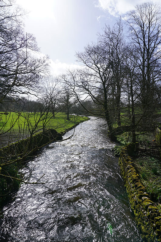
The River Aire from Hanlith Bridge
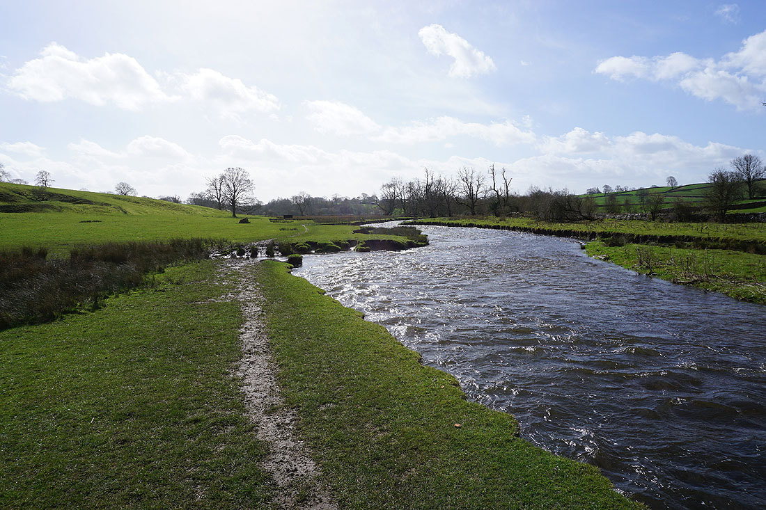
On the Pennine Way by the River Aire to Airton..
I can just about make out Malham Cove when I look back
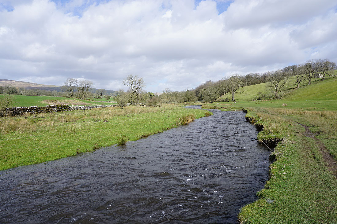
The River Aire in Airton
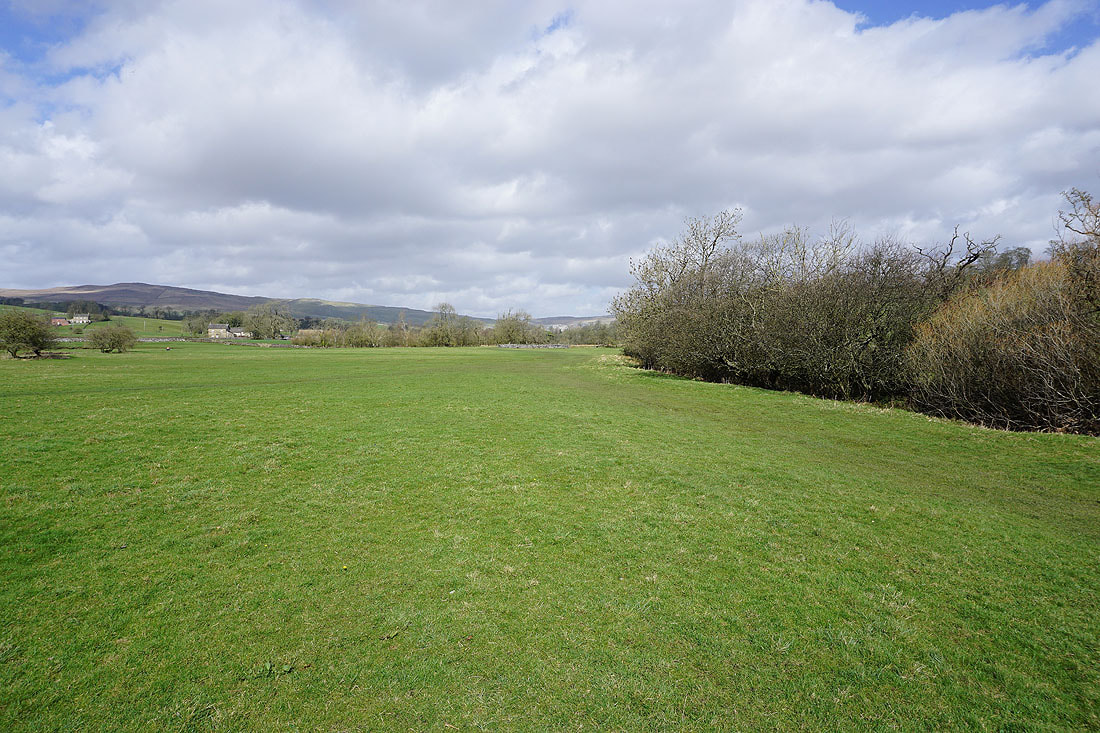
The outline of Pendle Hill in the distance as I walk up Calton Lane from Airton to Calton
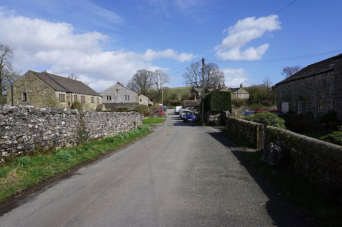
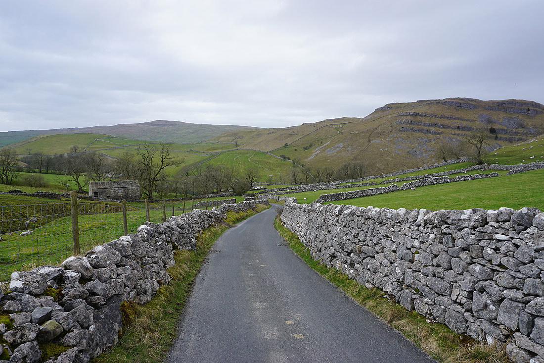
Makling my way through the hamlet of Calton
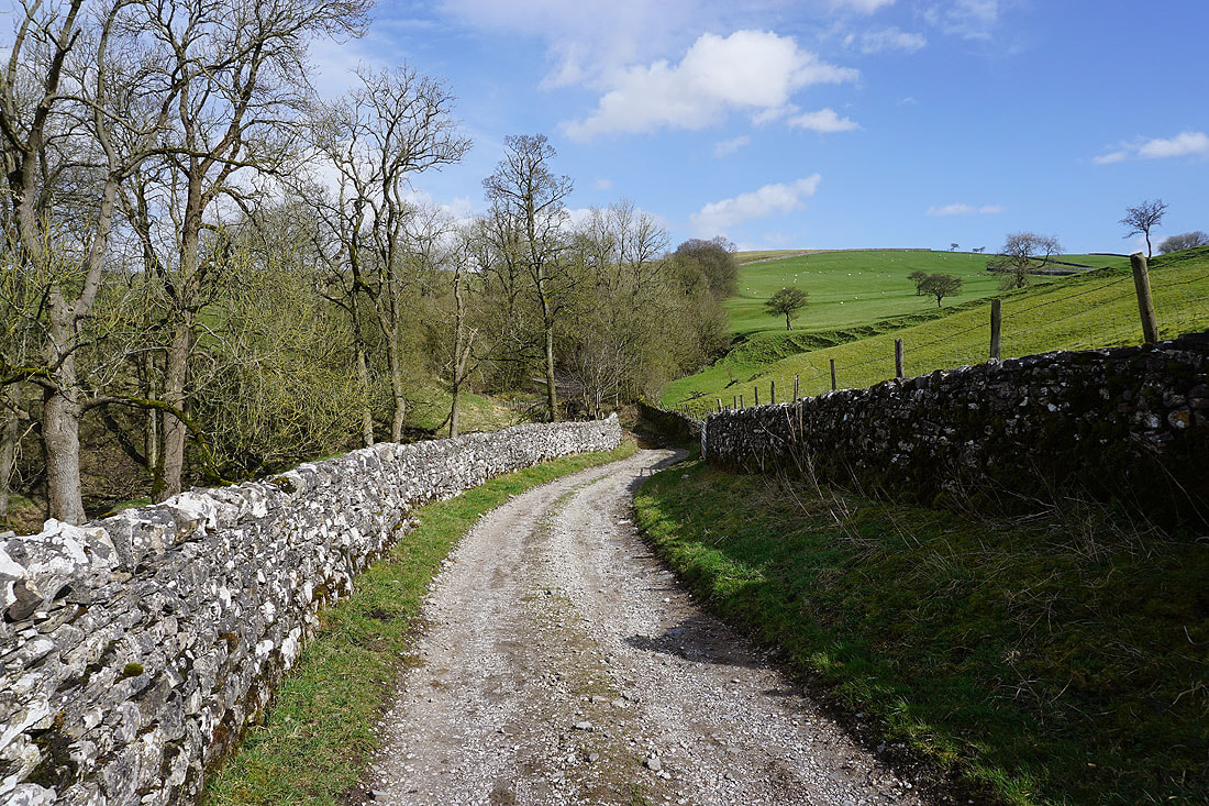
I leave Kell Syke Lane in Calton and take the bridleway down to Foss Gill
|
|
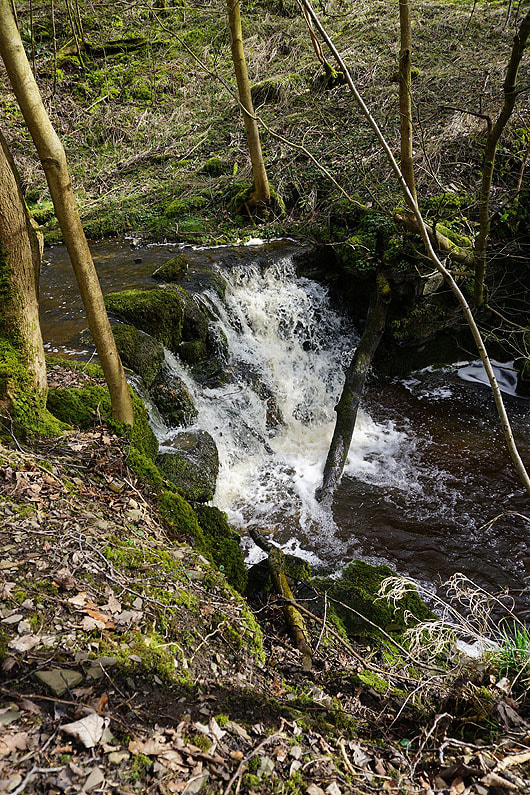
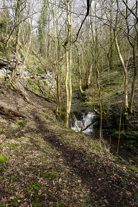
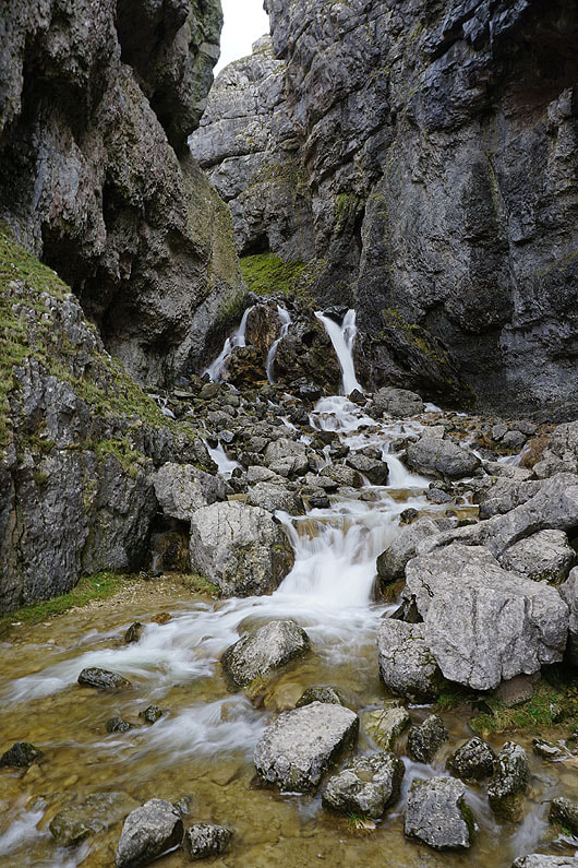
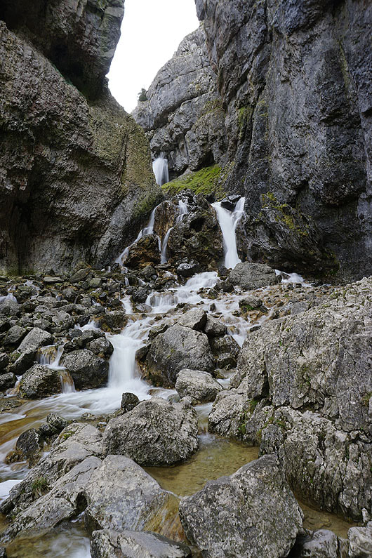
A short detour to see the waterfalls on Foss Gill..
Leaving Foss Gill on the bridleway to Weets Top
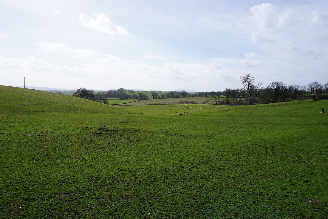
It doesn't take long for me to have a view of the wooded Foss Gill and Calton below, with Pendle Hill in the distance when I look back
There's a trig point on the top of the hill on the other side of Foss Gill. It's on access land but would be tricky to reach.
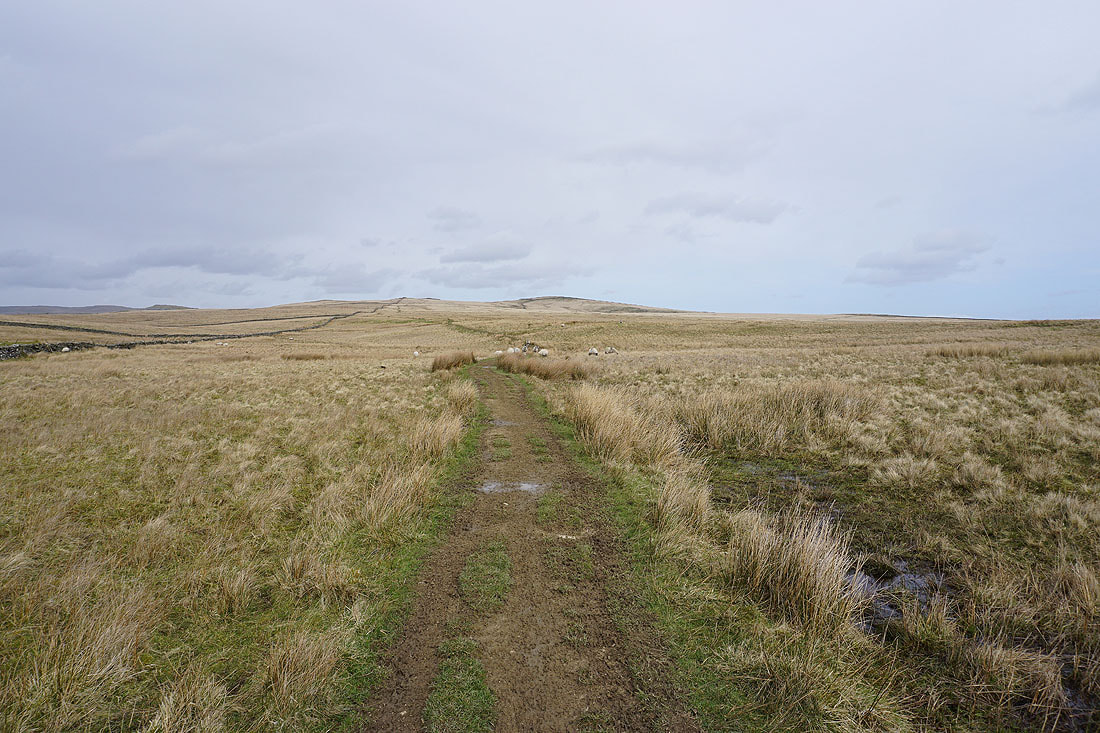
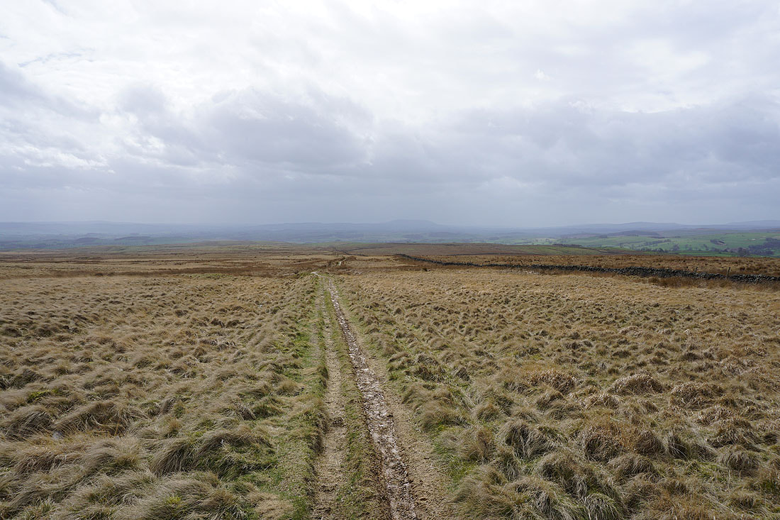
On the bridleway up Calton Moor
To my left, Kirkby Fell on the other side of Malhamdale
Behind and to my right, Cracoe Fell and Flasby Fell
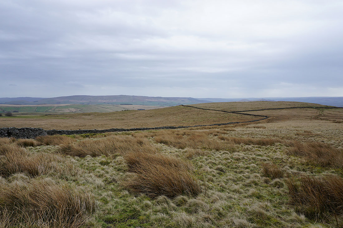
Approaching Weets Top and Hetton Common Head
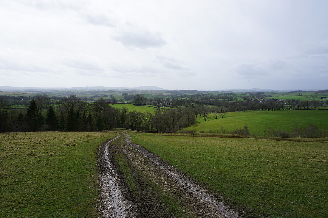
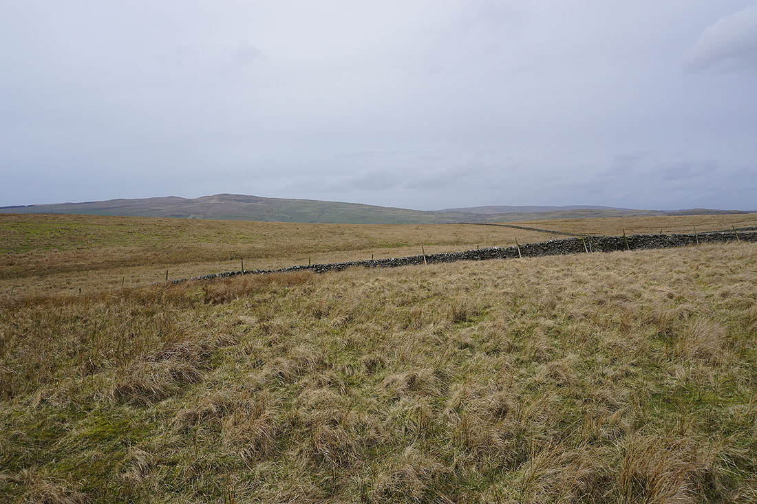
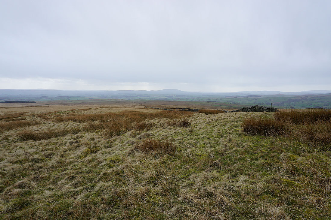
Looking back down Calton Moor to Pendle Hill in the distance
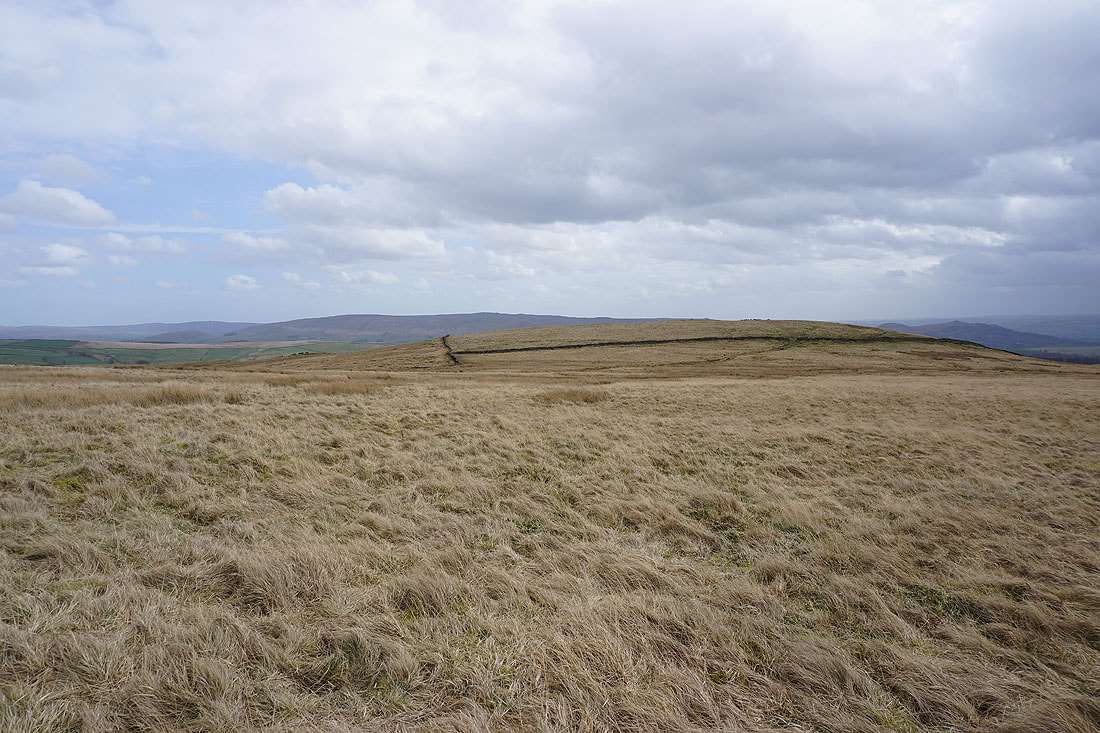
Hetton Common Head as I near Weets Top
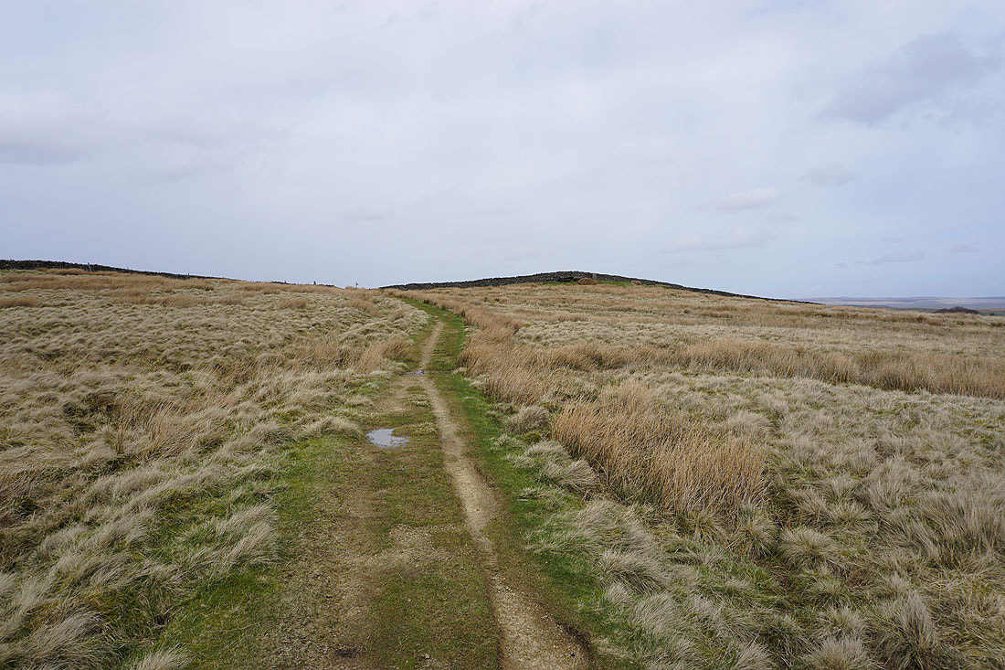
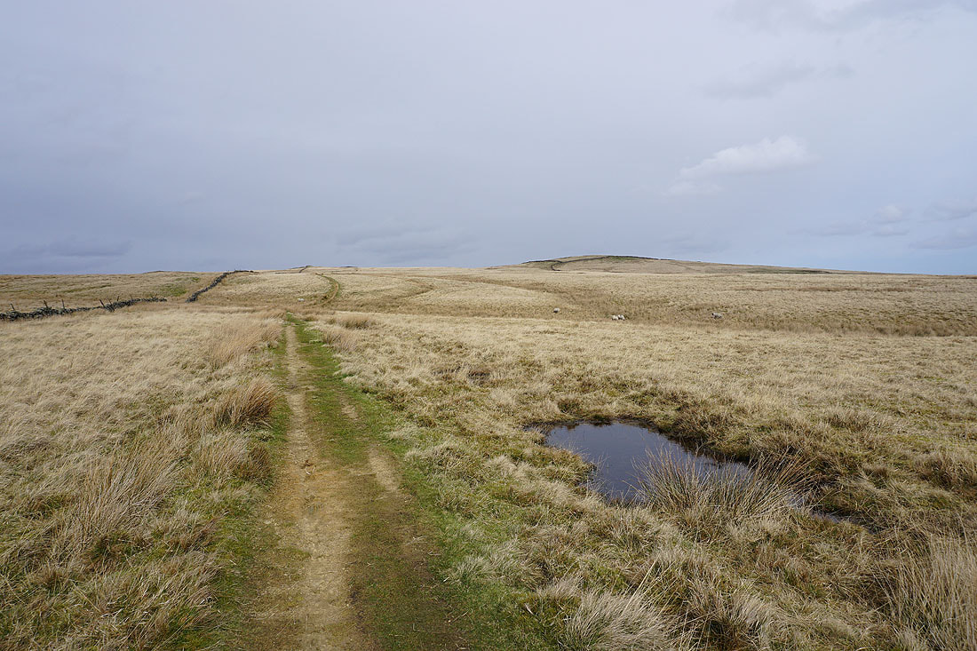
The final approach to Weets Top. The trig point is on the rise on the right.
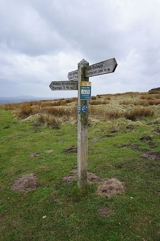
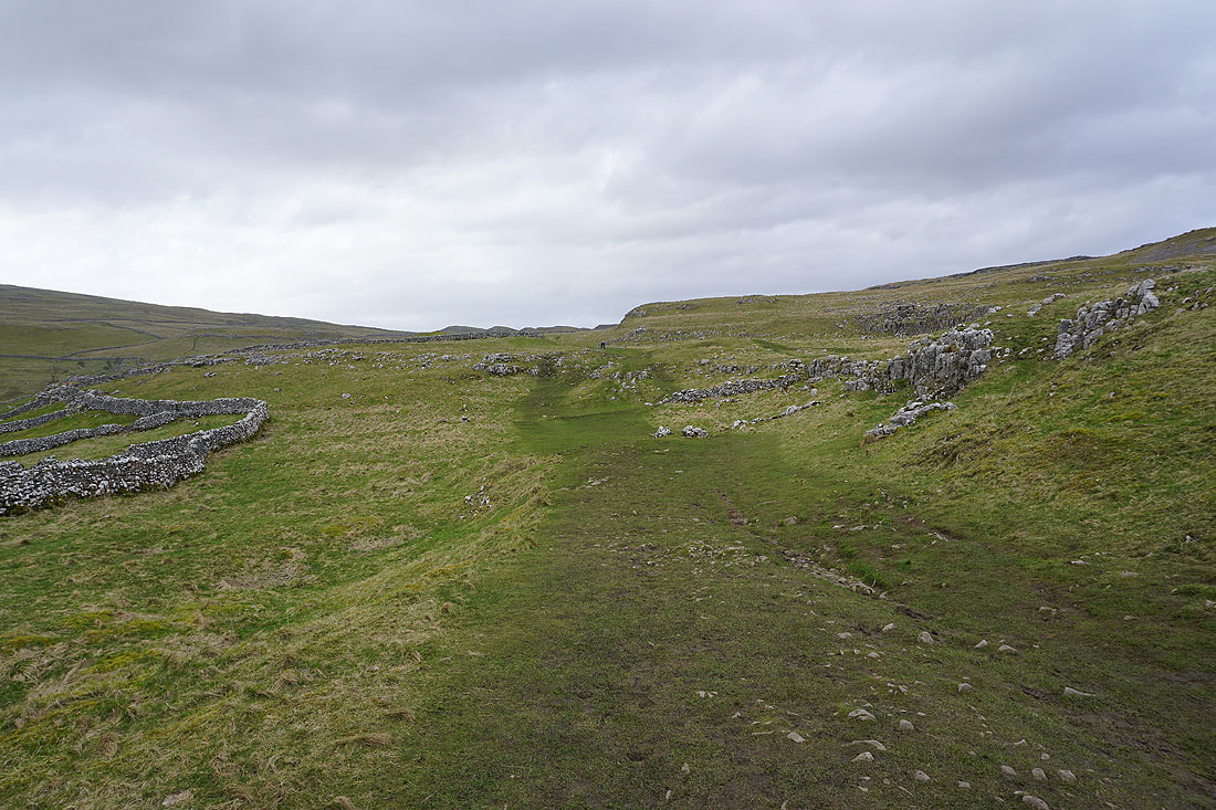
There's a junction of bridleways on Weets Top. I'll be leaving on the one to Hawthorns Lane.
|
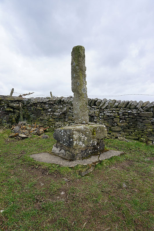
The remains of Weets Cross
|
Looking north from Weets Gate to the limestone moorland of Parson's Pulpit and Proctor High Mark in the distance, with the top of Great Whernside on the right
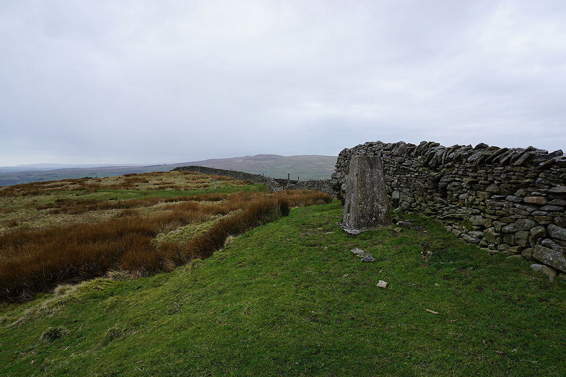
At the trig point on Weets Top
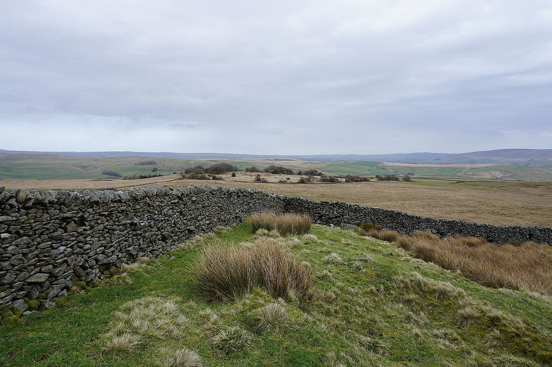
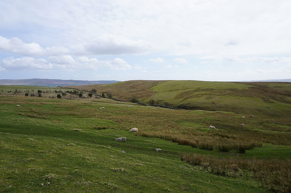
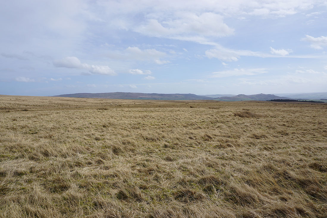
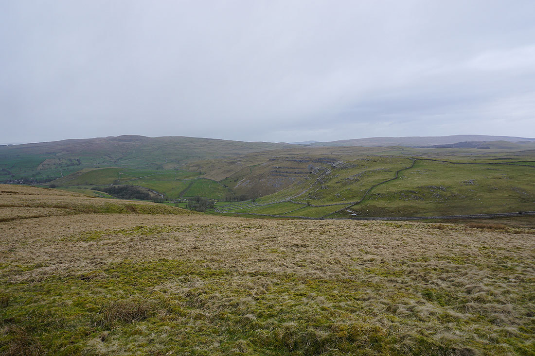
Taking in the view from Weets Top. Malham Moor and Threshfield Moor to the east.
Cracoe Fell, Boss Moor, and Hetton Common Head
Kirkby Fell and the limestone crags that mark the entrance to Gordale Scar
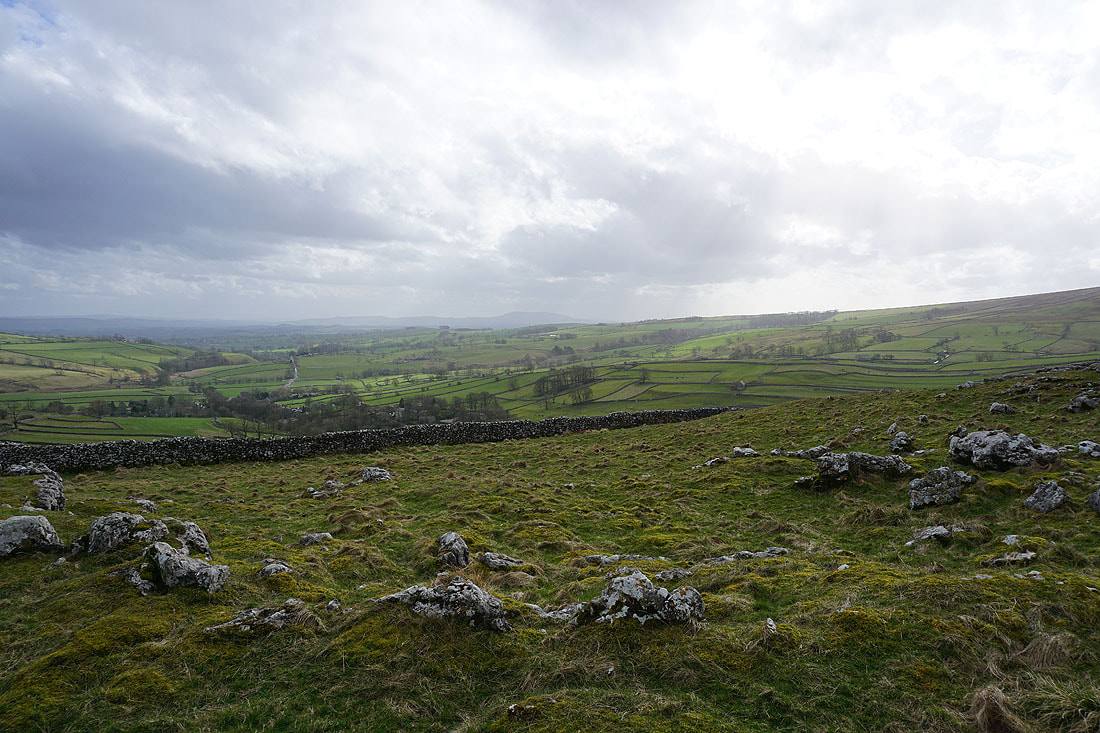
Looking southwest across Calton Moor and Hanlith Moor to Pendle Hill in the distance
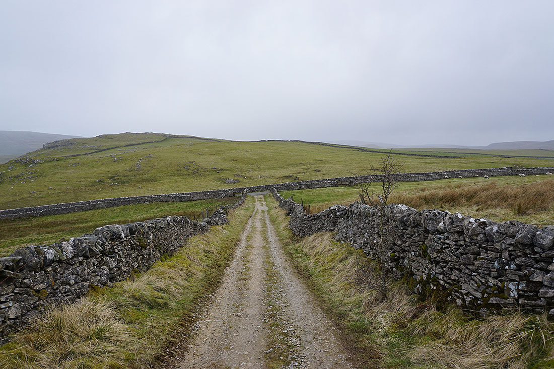
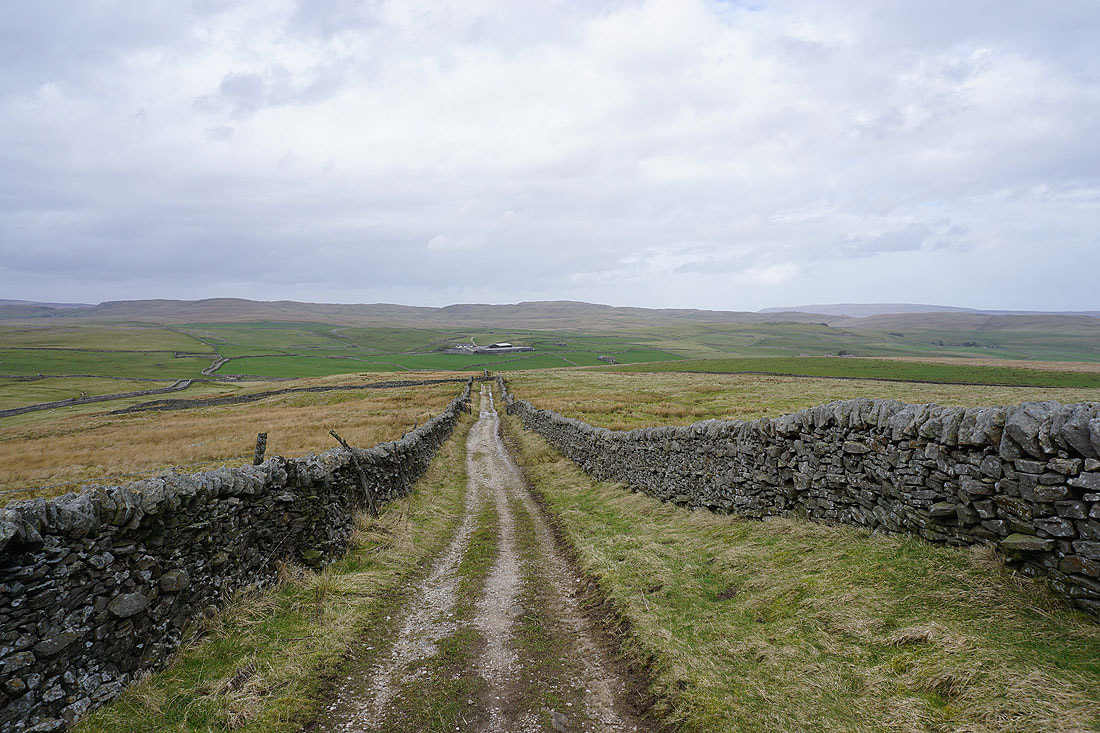
Walking down the bridleway to Hawthorns Lane..
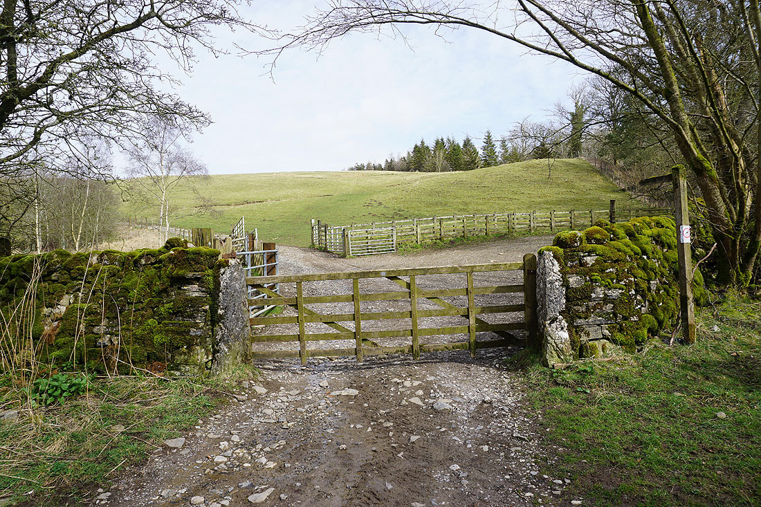
..and then down Hawthorns Lane to Gordale Scar
|
|
A few photos of my there and back visit to Gordale Scar...
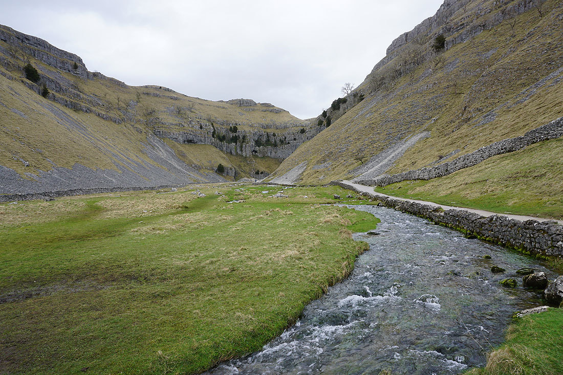
Looking back from the path from Gordale Bridge to Malham Rakes with the limestone cliffs around Gordale Scar on the left
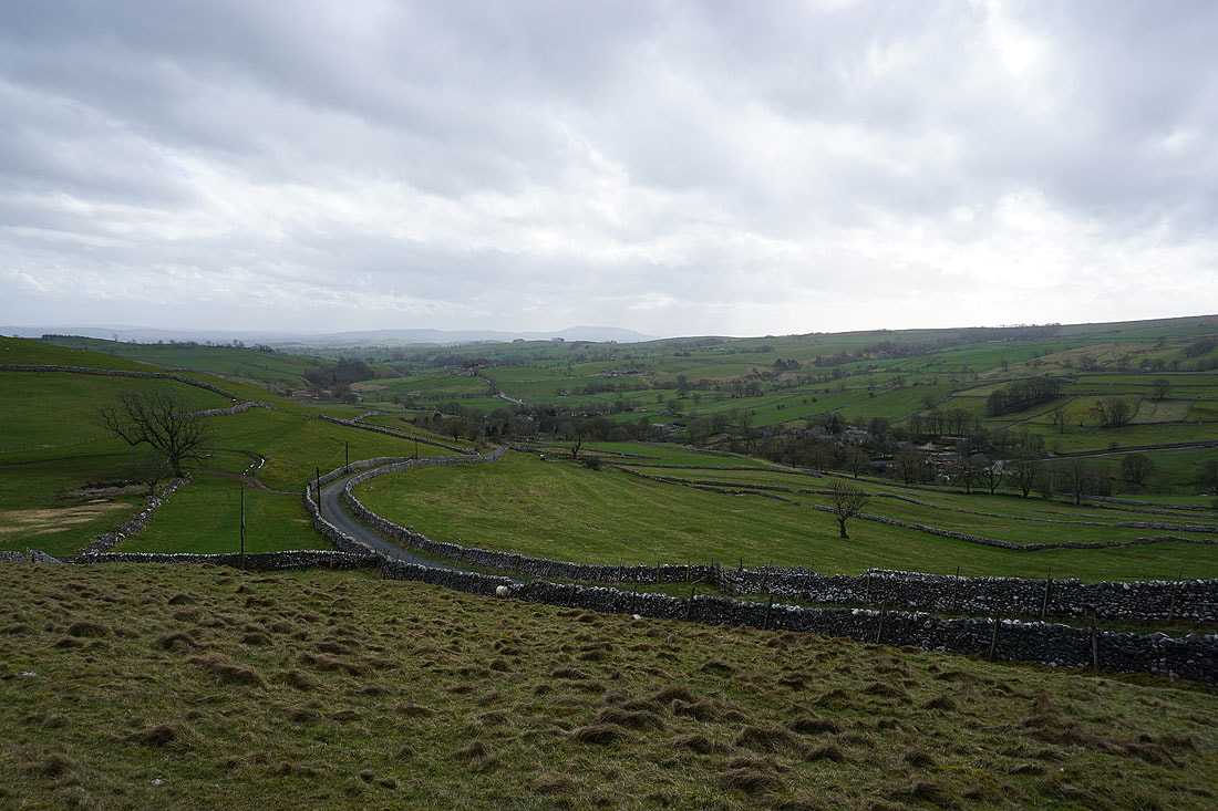
Malhamdale below and Pendle Hill in the distance as I reach the road of Malham Rakes
Across Malham Rakes and heading for Malham Cove
Brighter skies arrive as I look to my left at the view across Malhamdale
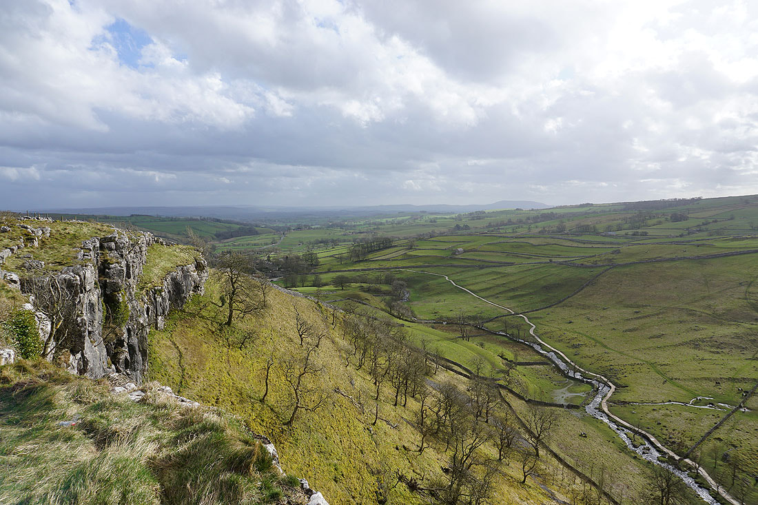
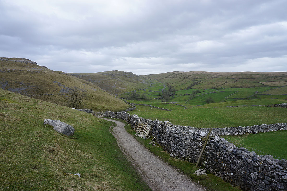
On the eastern edge of Malham Cove. I'm glad that I've got a bit of sunshine for taking in the view as I cross its top....
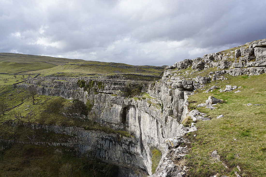
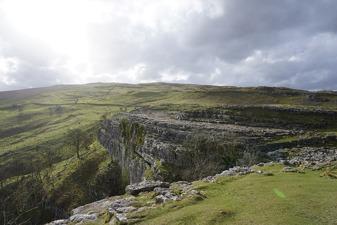
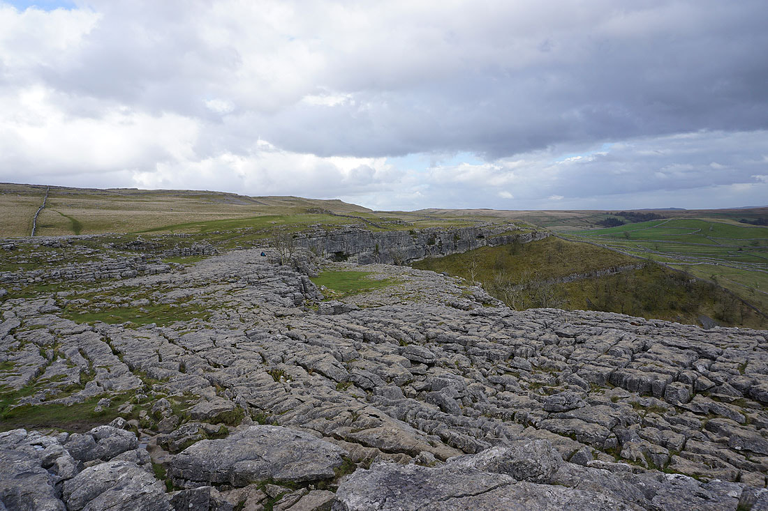
The limestone pavement above Malham Cove
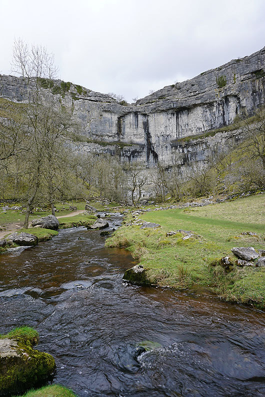
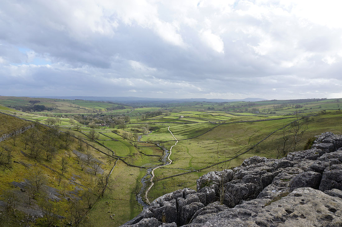
Malham Cove and Malham Beck
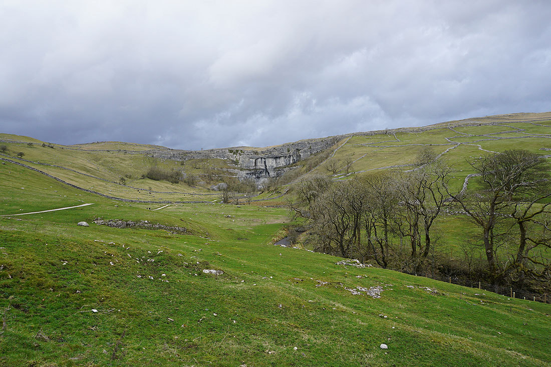
Looking back to Malham Cove as I follow the Pennine Way back to Malham