22nd May 2016 - Oxenber Wood & Moughton
Walk Details
Distance walked: 9.6 miles
Total ascent: 1562 ft
OS map used: OL2 - Yorkshire Dales, Southern & Western areas
Time taken: 7.5 hrs
Route description: Austwick-Flascoe Bridge-Wood Lane-Oxenber Wood-Wharfe Wood-Higher Bark House-Lower Bark House-Moughton Nab-Moughton Scar-Long Scar-Moughton-Moughton Scars-Sulber Gate-Thwaite-Norber-Nappa Scars-Norber Brow-Crummack Lane-Austwick
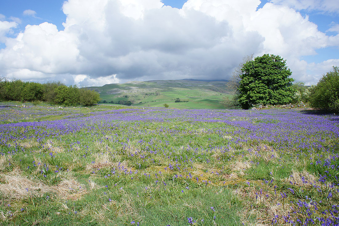
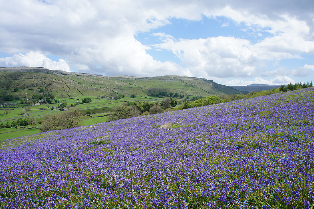
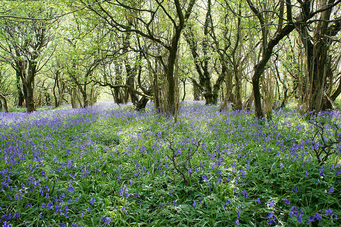
My walk today was designed around visiting Oxenber and Wharfe Woods to see the bluebells but it also gave me the chance to do a route around Crummack Dale, one of my favourite places in the Yorkshire Dales. The bluebells were definitely worth a look, a nice combination of them on open ground and beneath trees. I spent a good thirty minutes wandering around looking for good spots to take a photo from and for the sun to put in an appearance when I was taking the photo of a carpet of bluebells with Moughton Scar in the background. There aren't just bluebells to see though, cowslips and early purple orchids make an appearance too. I've had some good weather while I've been out so far this May and today was no exception. There was a forecast of a chance of showers but at no point did it look like one was going to turn up despite it clouding over a couple of times. The second half of the afternoon was lovely with warm sunny spells.
After parking in Austwick I walked north through the village and along the road towards Thwaite. Just outside the village I turned right and took the bridleway across Flascoe Bridge and then left onto the track of Wood Lane. I soon reached the public footpath on the right that let me onto the access land of Oxenber and Wharfe Woods. At the eastern edge of Wharfe Wood I left access land and picked up the bridleway past Higher and Lower Bark Houses to the road beneath Moughton Scar. After a right turn and a brief walk along the road I took the footpath up to Moughton Nab and then Moughton Scar. A break for lunch was taken here. I then made my way north across the limestone pavement of Moughton to eventually arrive at the trig point. More limestone pavement was crossed to Moughton Scars and then to Sulber Gate. It was now time to head south, back towards Austwick. I started with taking the Pennine Bridleway to Long Scar. I left it here for the hill of Thwaite, and when I reached its southern end I made my way down through the Norber erratics to pick up the public footpath below Nappa Scars and down Norber Brow to Crummack Lane. I crossed the road and took the footpath down through fields to the track of Thwaite Lane. My intention had been to cross the track and continue on the path down to Town Head Farm but a field full of cattle put paid to that, so I finished the walk by walking down Crummack Lane to Austwick.
Total ascent: 1562 ft
OS map used: OL2 - Yorkshire Dales, Southern & Western areas
Time taken: 7.5 hrs
Route description: Austwick-Flascoe Bridge-Wood Lane-Oxenber Wood-Wharfe Wood-Higher Bark House-Lower Bark House-Moughton Nab-Moughton Scar-Long Scar-Moughton-Moughton Scars-Sulber Gate-Thwaite-Norber-Nappa Scars-Norber Brow-Crummack Lane-Austwick
My walk today was designed around visiting Oxenber and Wharfe Woods to see the bluebells but it also gave me the chance to do a route around Crummack Dale, one of my favourite places in the Yorkshire Dales. The bluebells were definitely worth a look, a nice combination of them on open ground and beneath trees. I spent a good thirty minutes wandering around looking for good spots to take a photo from and for the sun to put in an appearance when I was taking the photo of a carpet of bluebells with Moughton Scar in the background. There aren't just bluebells to see though, cowslips and early purple orchids make an appearance too. I've had some good weather while I've been out so far this May and today was no exception. There was a forecast of a chance of showers but at no point did it look like one was going to turn up despite it clouding over a couple of times. The second half of the afternoon was lovely with warm sunny spells.
After parking in Austwick I walked north through the village and along the road towards Thwaite. Just outside the village I turned right and took the bridleway across Flascoe Bridge and then left onto the track of Wood Lane. I soon reached the public footpath on the right that let me onto the access land of Oxenber and Wharfe Woods. At the eastern edge of Wharfe Wood I left access land and picked up the bridleway past Higher and Lower Bark Houses to the road beneath Moughton Scar. After a right turn and a brief walk along the road I took the footpath up to Moughton Nab and then Moughton Scar. A break for lunch was taken here. I then made my way north across the limestone pavement of Moughton to eventually arrive at the trig point. More limestone pavement was crossed to Moughton Scars and then to Sulber Gate. It was now time to head south, back towards Austwick. I started with taking the Pennine Bridleway to Long Scar. I left it here for the hill of Thwaite, and when I reached its southern end I made my way down through the Norber erratics to pick up the public footpath below Nappa Scars and down Norber Brow to Crummack Lane. I crossed the road and took the footpath down through fields to the track of Thwaite Lane. My intention had been to cross the track and continue on the path down to Town Head Farm but a field full of cattle put paid to that, so I finished the walk by walking down Crummack Lane to Austwick.
Route map
© Crown copyright. All rights reserved. License number PU 100034184.
Leaving Austwick behind
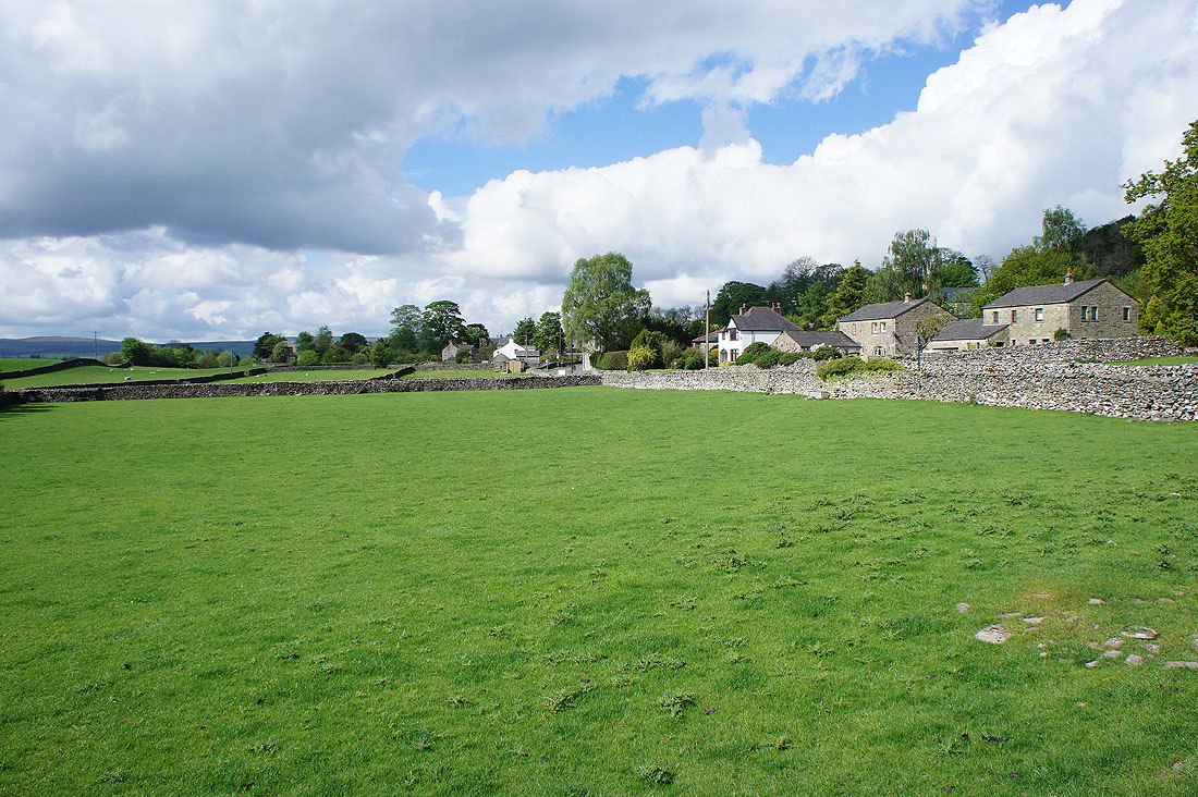
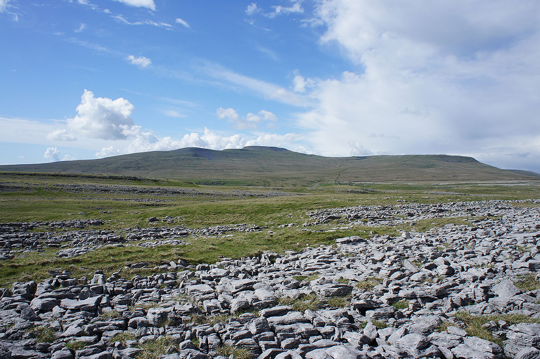
The hill of Moughton. I'll be heading there after visiting Oxenber Wood.
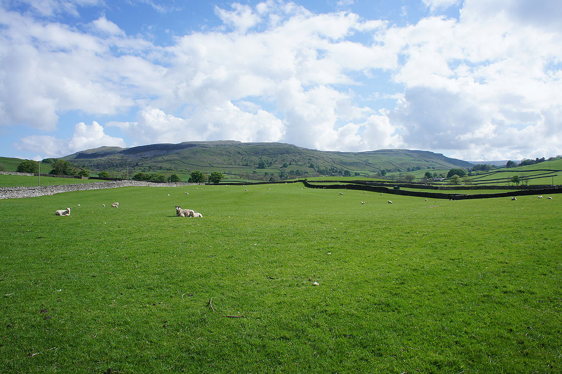
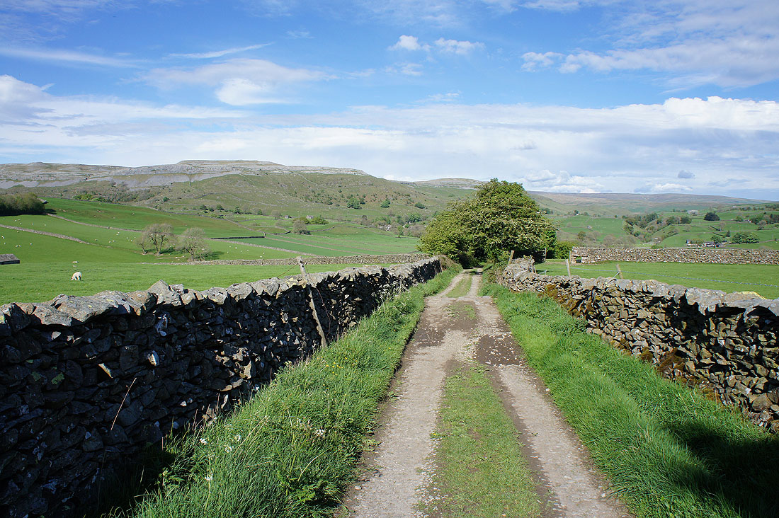
Across Flascoe Bridge over Austwick Beck
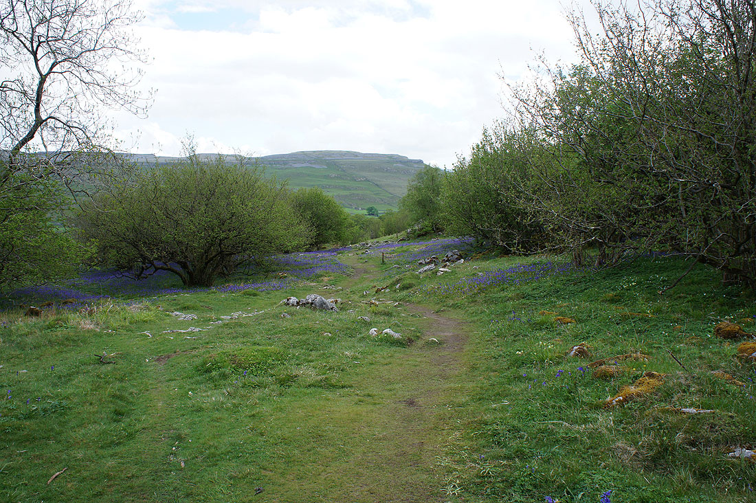
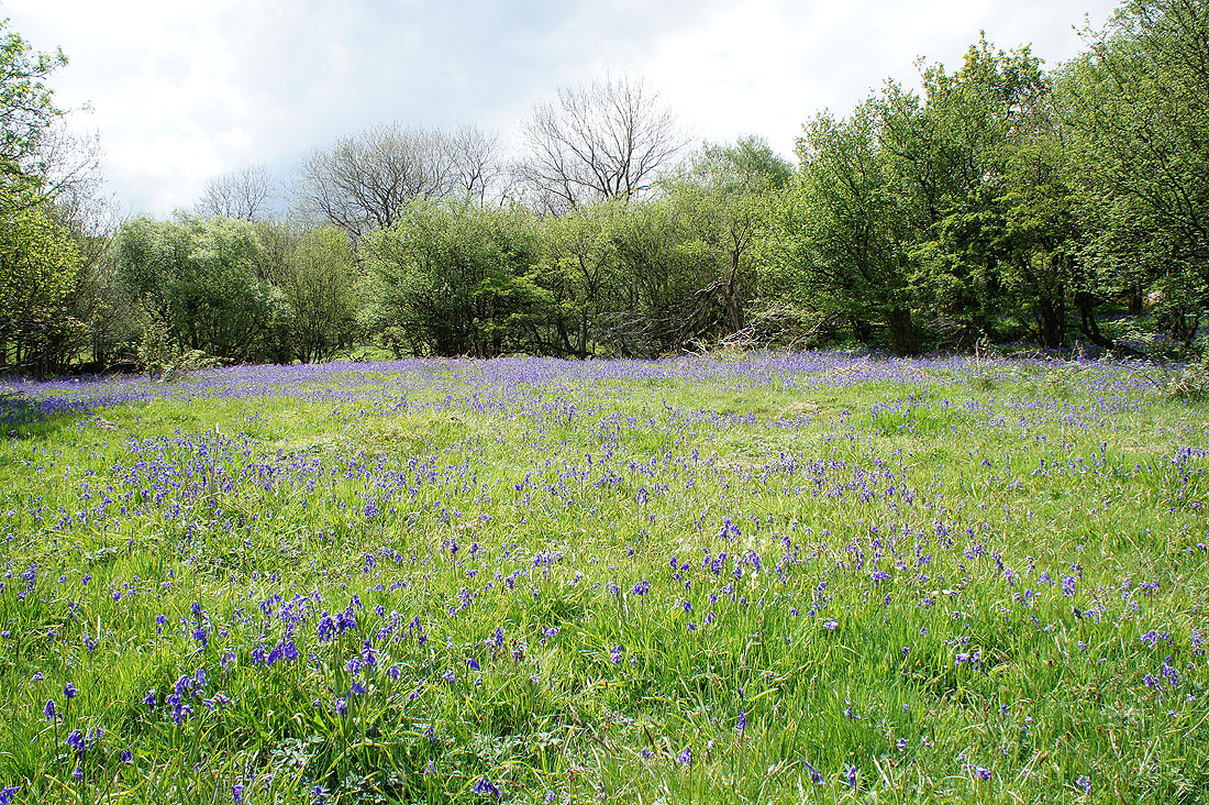
After a short walk north along the track of Wood Lane I took the path up onto the access land of Oxenber Wood. There are good displays of bluebells on the open ground and under the patches of woodland.
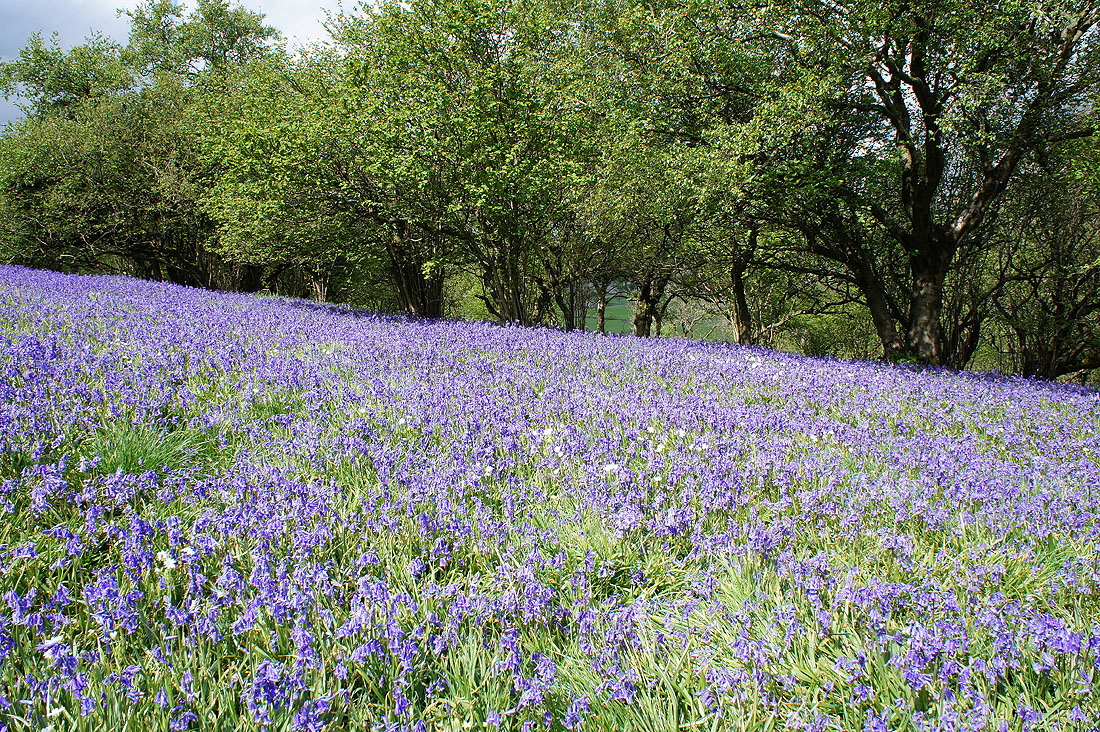
I started by following a path with purple marker posts then one with orange ones down through Wharfe Wood
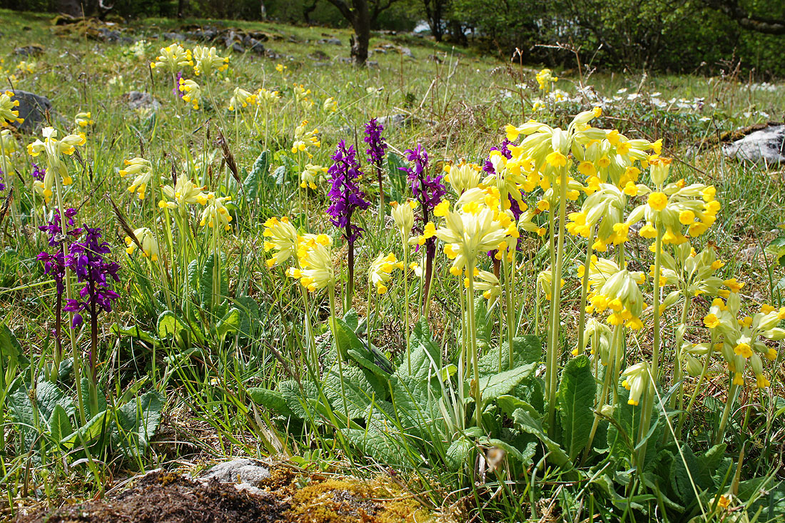
Cowslips and early purple orchids galore
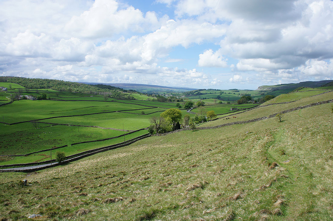
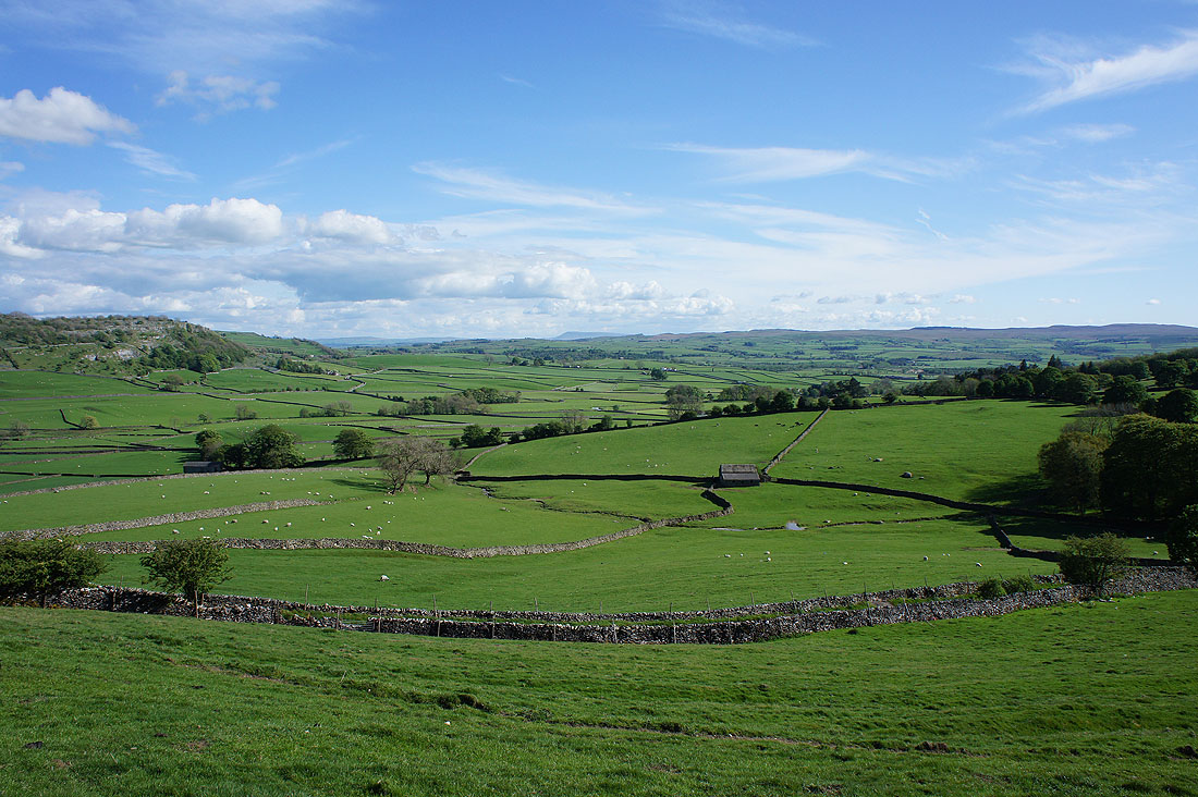
Crummack Dale with the top of Ingleborough in the background on the left
More bluebells in Wharfe Wood..
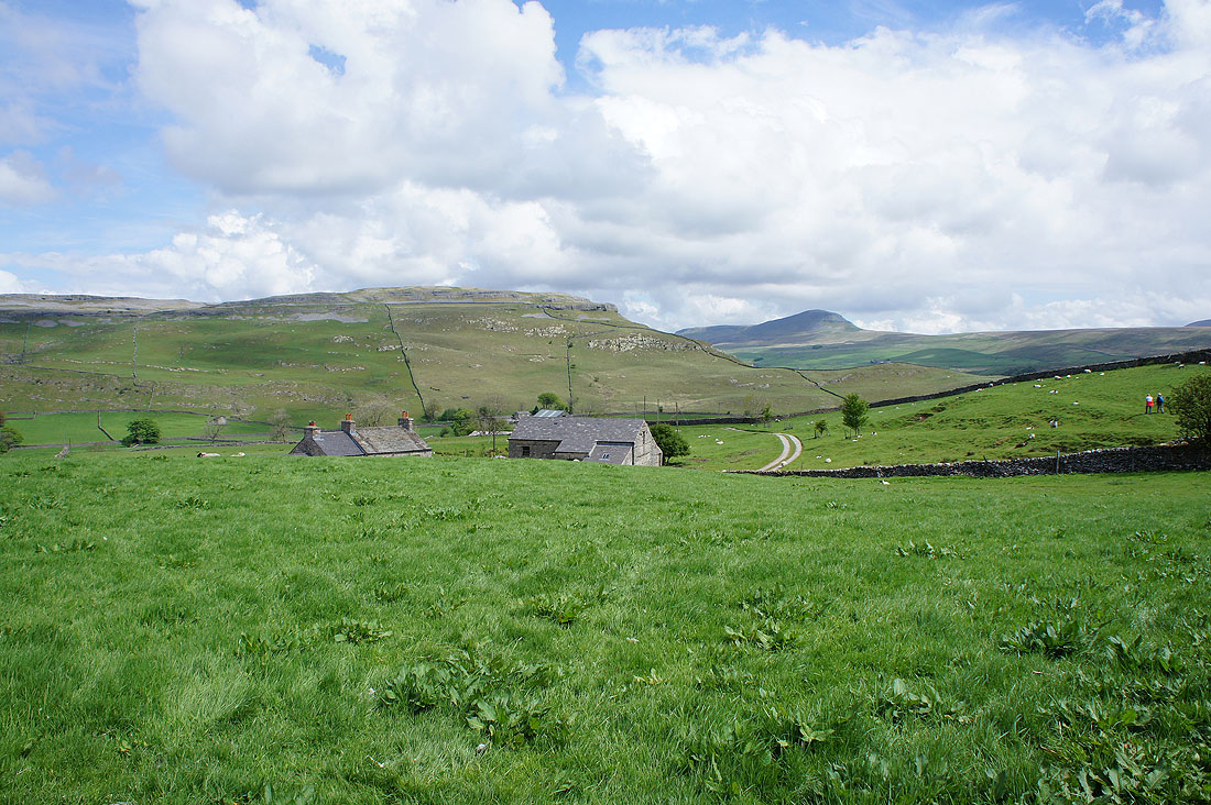
Moughton Scar and Penyghent as I follow the bridleway down to Higher Bark House
and then on the one from Lower Bark House down to the road below Moughton Scar
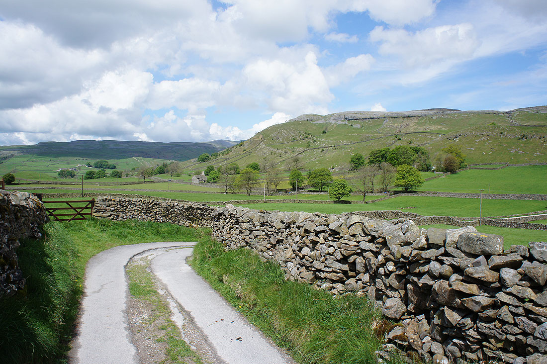
Wharfe Wood on the left and Austwick in the distance as I look back on the path up to Moughton Nab
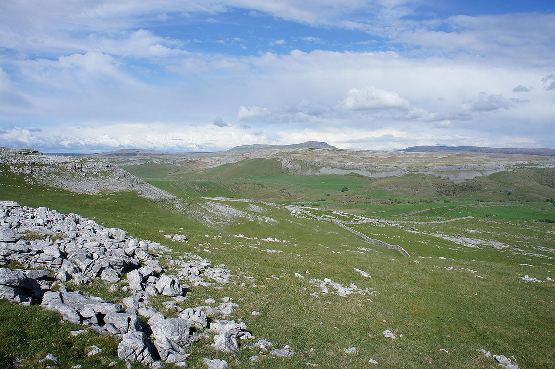
After my lunch break on Moughton Scar, a couple of photos of the view. It's clouded over quite a bit while I've been here. Penyghent and Fountains Fell on the other side of Ribblesdale.
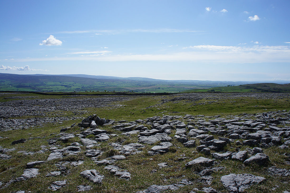
The hills above Settle on the left, nearby Smearsett Scar, and Pendle Hill in the distance
Heading for Long Scar
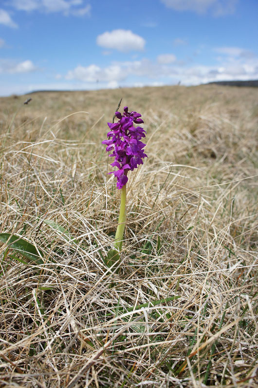
A solitary early purple orchid ekes out an existence
The sun is back out as I reach the appropriately named Long Scar
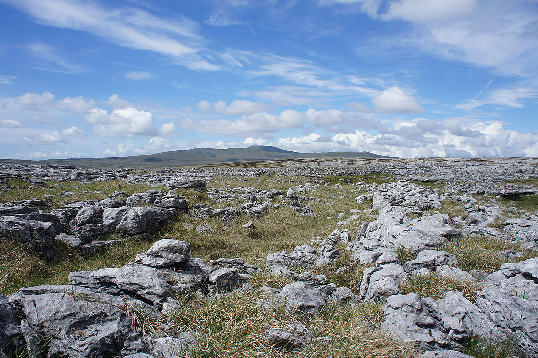
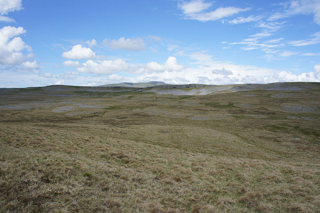
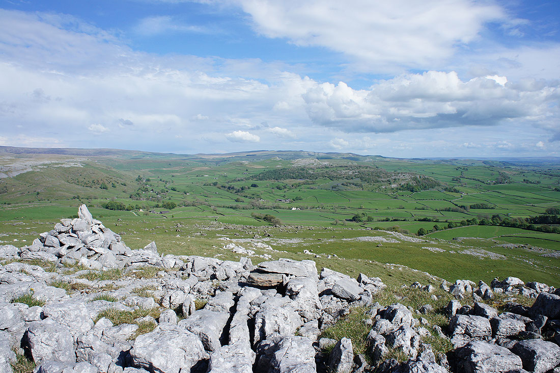
Great views across limestone pavement as I make my way to the trig point on Moughton....
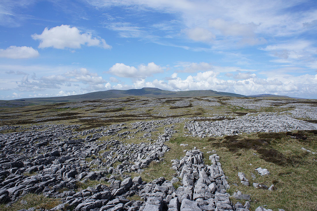
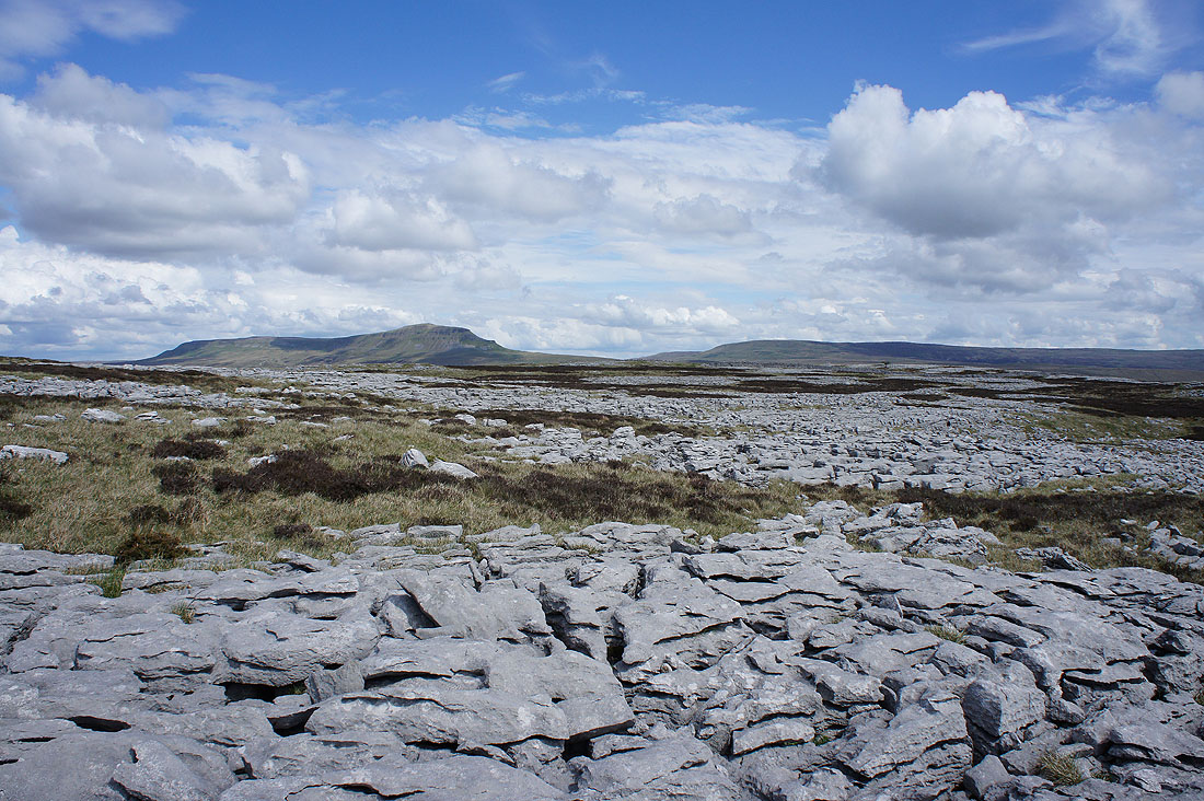
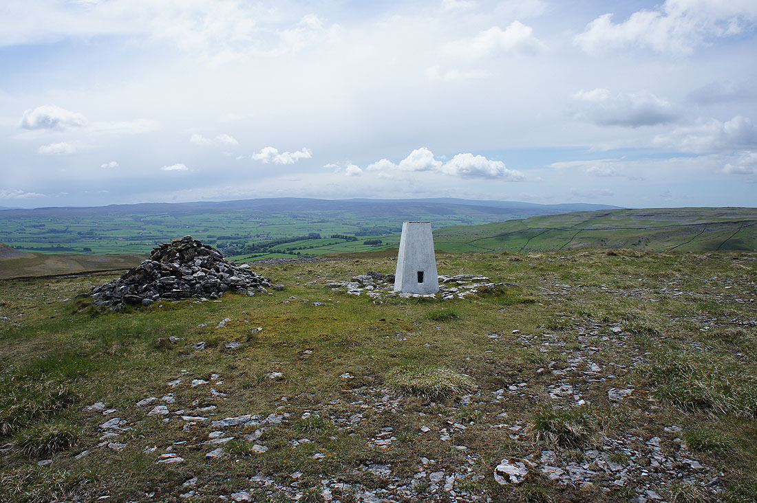
The Forest of Bowland in the distance as I reach the trig point on Moughton
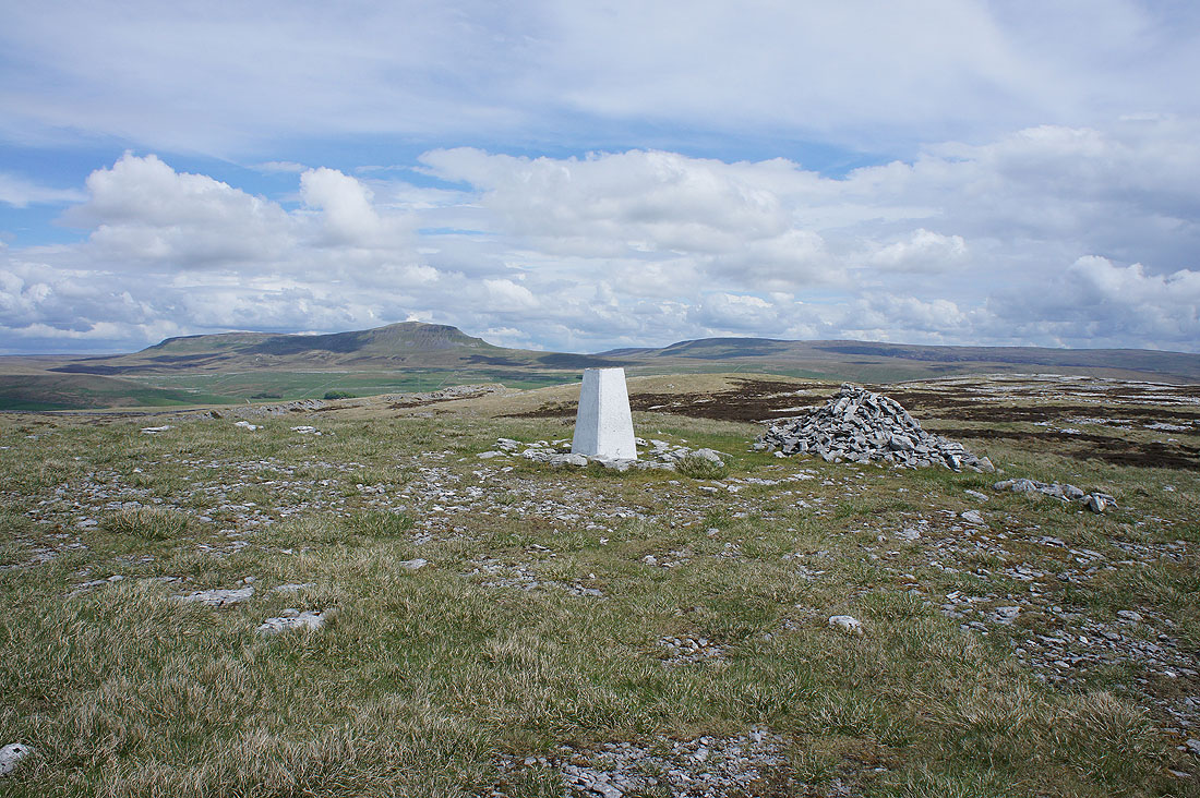
Penyghent and Fountains Fell
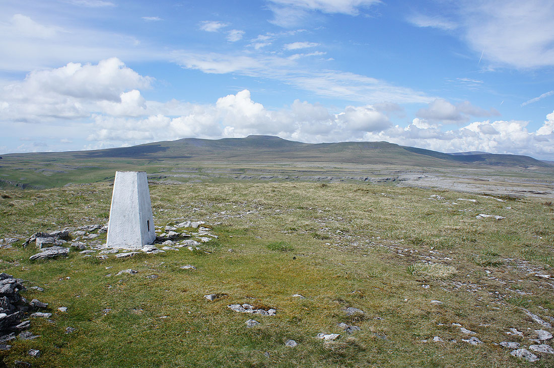
Ingleborough
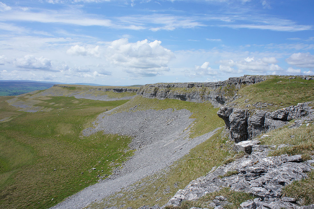
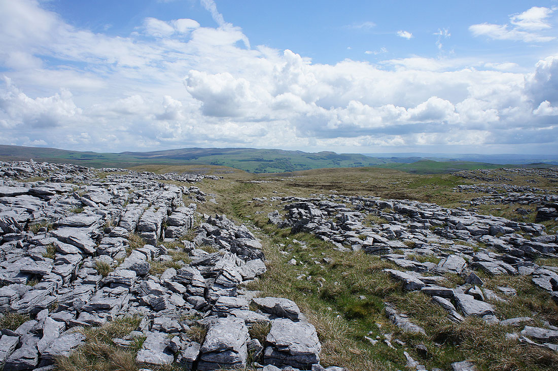
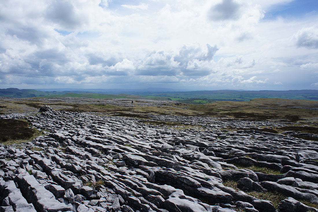
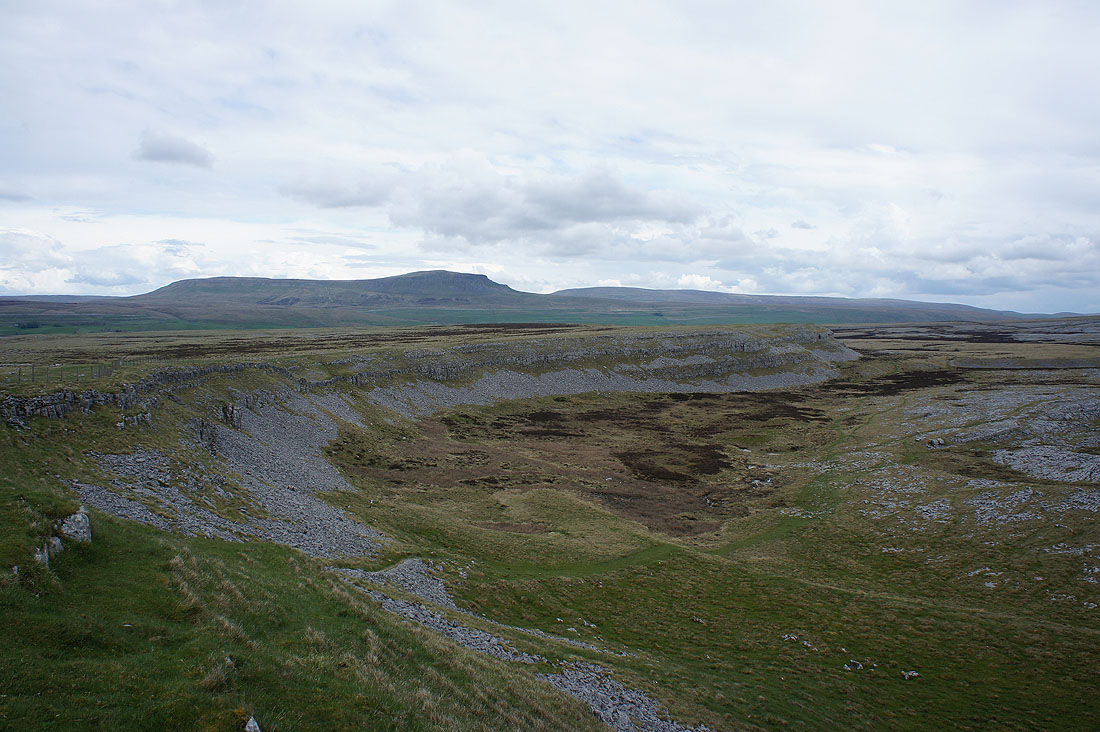
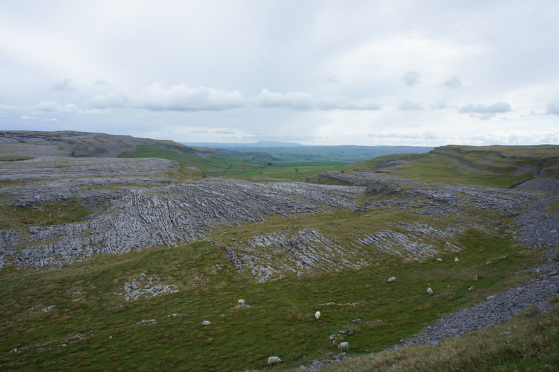
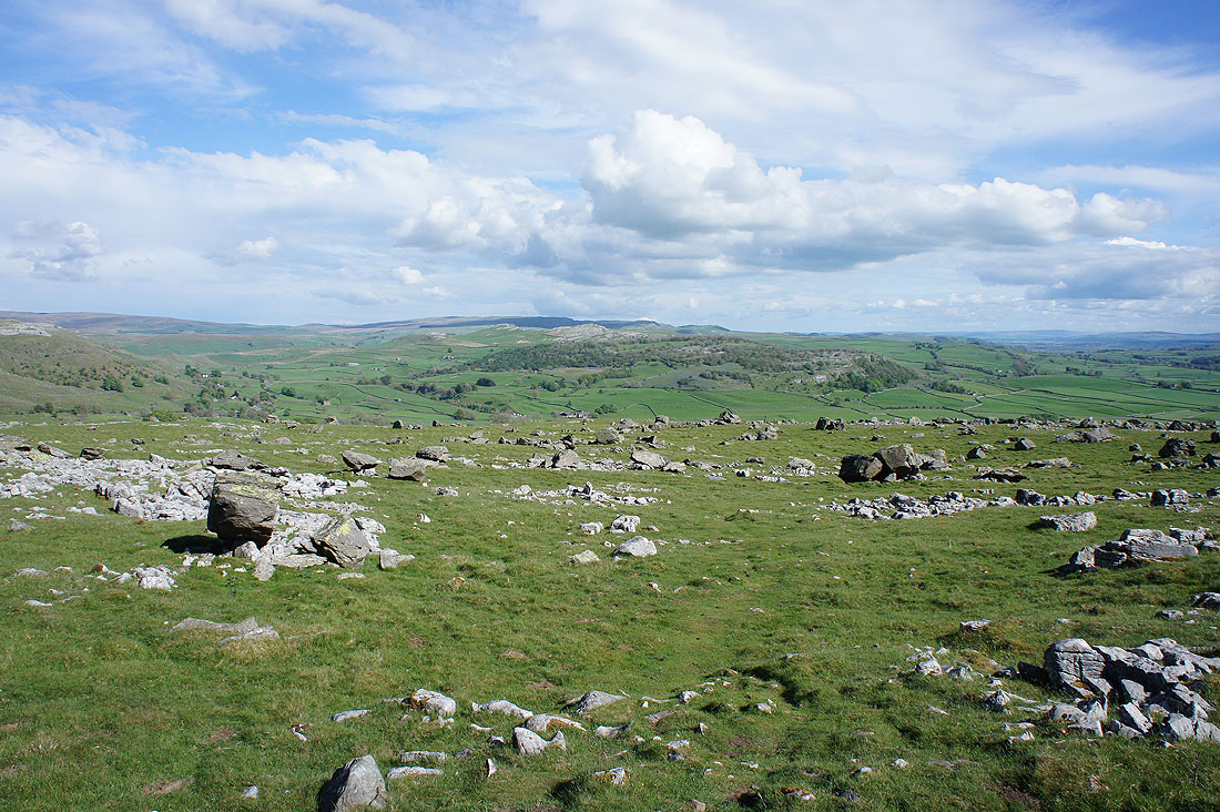
Lots of limestone pavement as I head for Moughton Scars
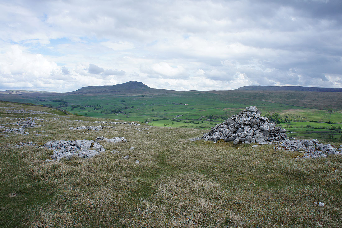
Crummack Dale as I reach Moughton Scars
Penyghent and Fountains Fell..
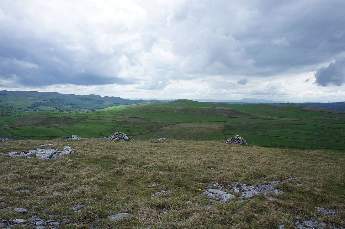
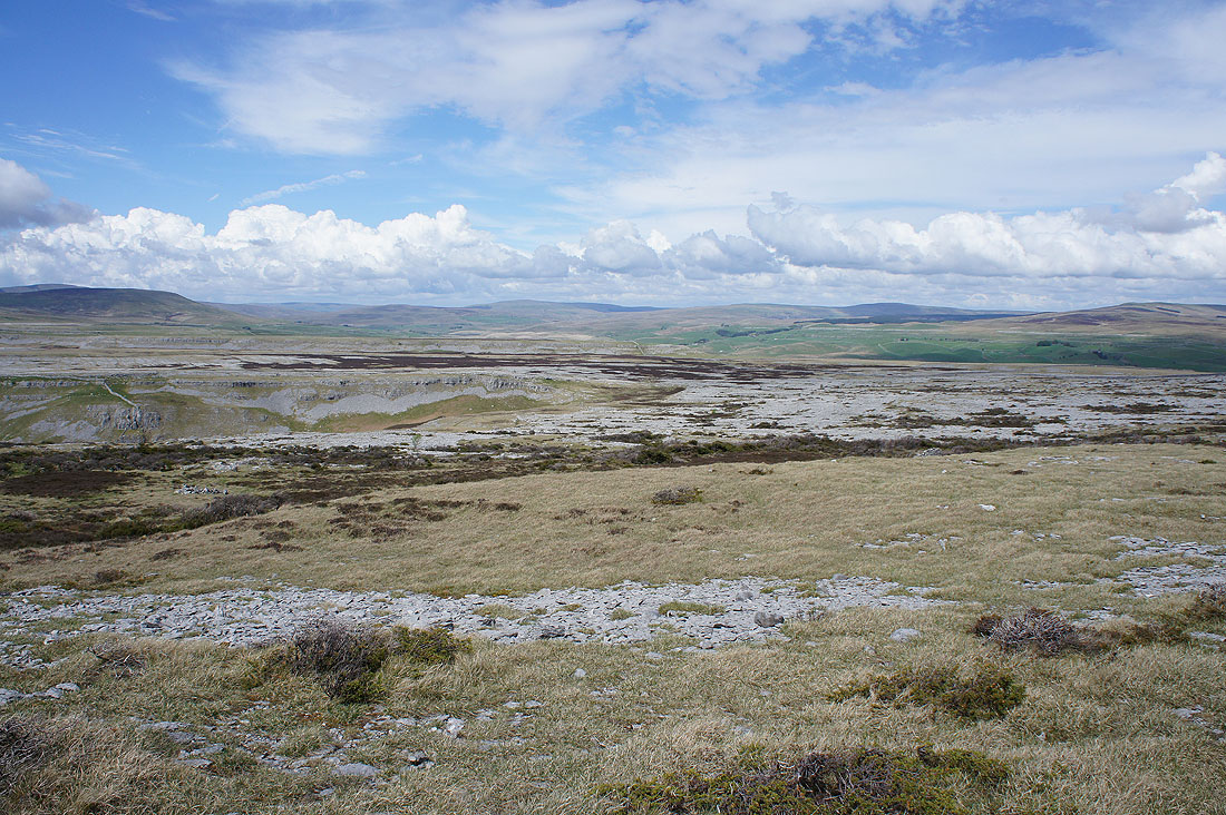
..and Pendle Hill in the distance across Thieves Moss from Sulber Gate
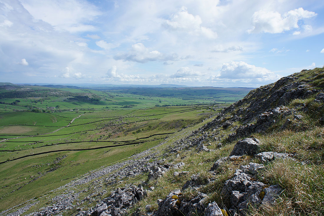
Looking down Crummack Dale as I take a break on the side of Thwaite. What caught my eye was the multitude of boulders on the hillside below, they are the source of the Norber erratics.
Ingleborough..
..and part of the Forest of Bowland and a glimpse of Morecambe Bay from the broad limestone top of Thwaite
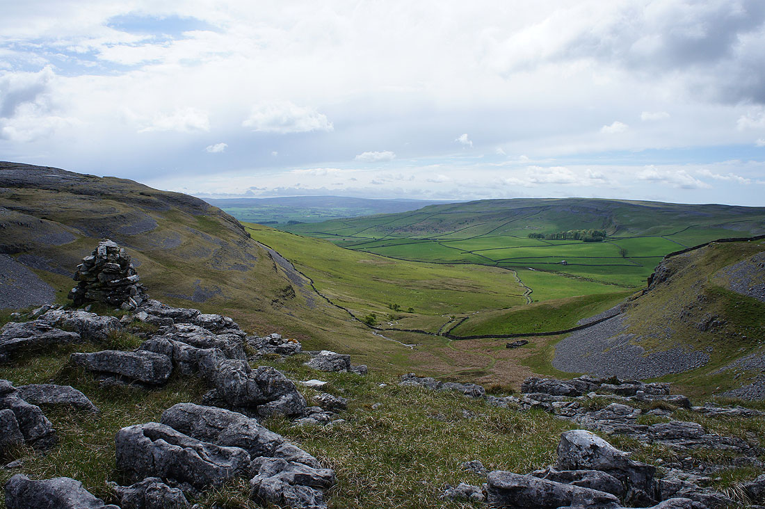
At the southern end of Thwaite. Looking across Crummack Dale to Moughton..
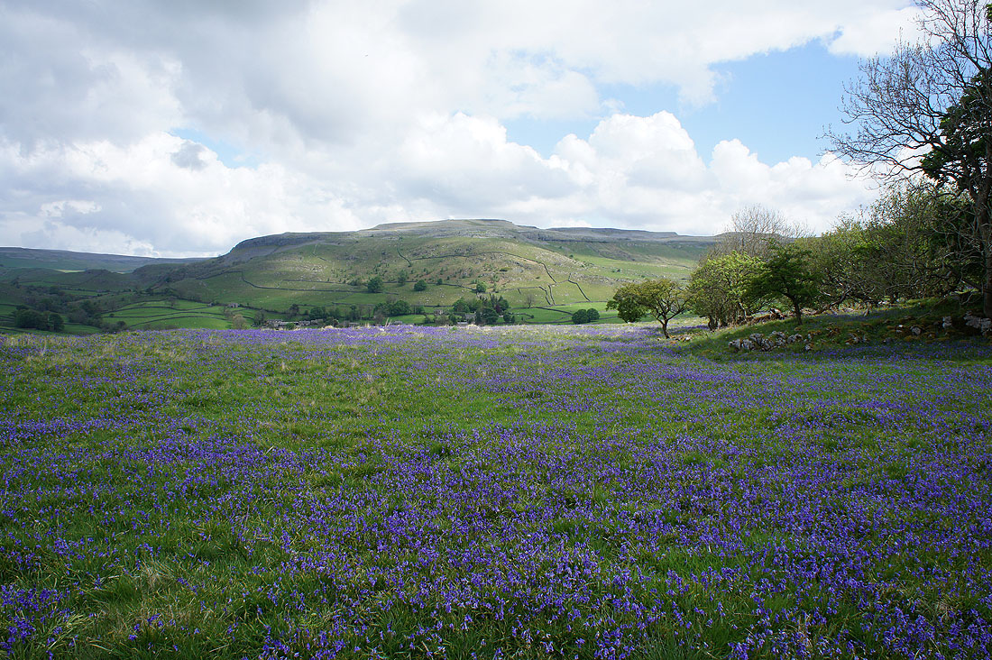
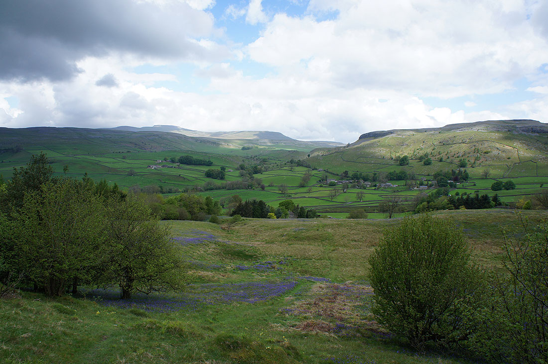
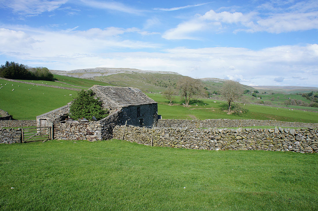
..and my favourite shot of the day. The hamlet of Wharfe below the hillside on the left, with Wharfe Wood and Oxenber Wood below the limestone hills of Smearsett Scar and Pot Scar. I can make out a blue tinge of the bluebells that I saw earlier in the day.
Down amongst the Norber erratics..
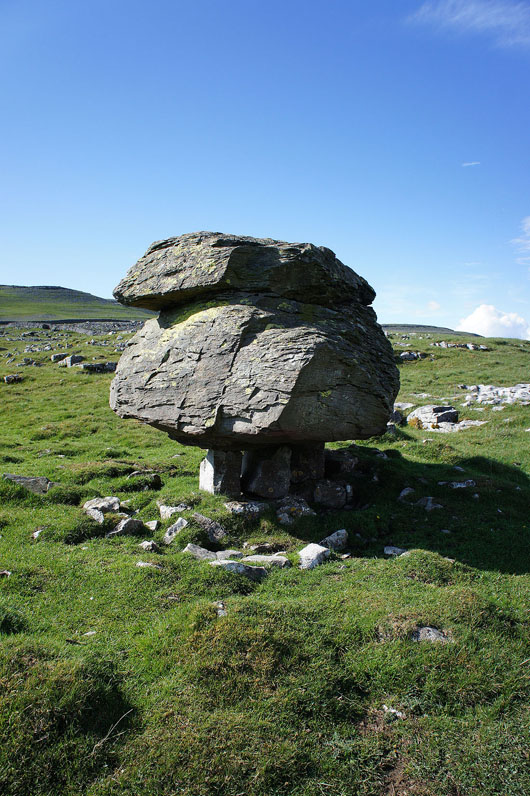
..and as with previous visits this is the one that I ended up taking a photo of
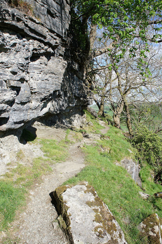
Threading the gap below Nappa Scars
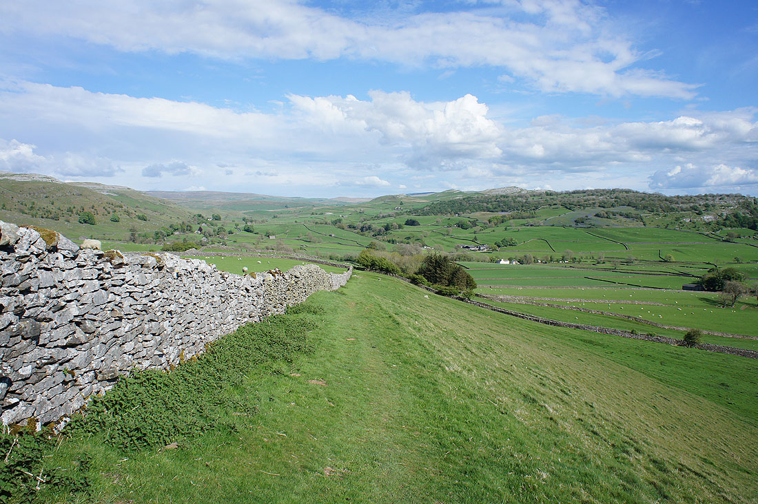
and then down Norber Brow to Crummack Lane
It's a lovely end to the afternoon in Crummack Dale...
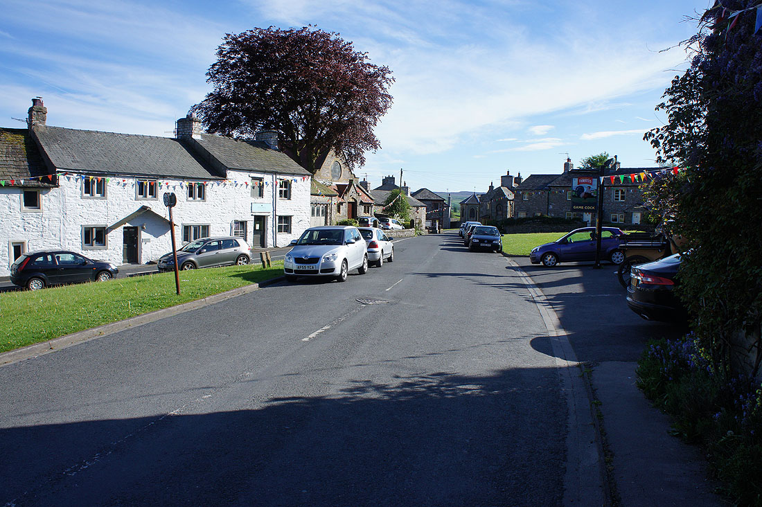
Back in Austwick