22nd May 2017 - Carrock Fell, Knott and High Pike
Walk Details
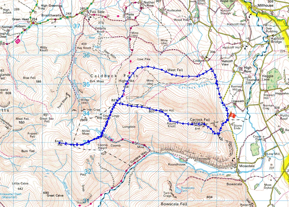
Distance walked: 9.9 miles
Total ascent: 2517 ft
OS map used: OL5 - The English Lakes, Northeastern area
Time taken: 6 hrs
Route description: Apronful of Stones-Carrock Fell-Round Knott-Miton Hill-Cumbria Way-Knott-Cumbria Way-High Pike-West Fell-Carrock Beck-Apronful of Stones
My walk today took in three Wainwrights, two of which, Carrock Fell and High Pike, I'd not visited since October 2008. These would count towards my second round. The best of the weather this week is forecast for the second half and with a couple of pretty big walks planned this route was a good way of building up to them. When I arrived by the roadside at Apronful of Stones this morning the skies were pretty grey and there was a strong breeze blowing. In fact while I made my way up onto Carrock Fell and I was on the summit there was a little bit of light rain in the wind. The skies brightened into the afternoon however, so that I had a few hours of warm sunshine while I was on Knott and High Pike before the cloud moved back in.
Starting from the roadside at Apronful of Stones I set off by making the ascent of Carrock Fell by the path of Rake Trod. From the summit of Carrock Fell I then made my way west over Round Knott and Miton Hill to reach the trail of the Cumbria Way south of High Pike. I followed the trail south past Lingy Hut (I had my lunch sat against it) to Grainsgill Beck where I left it to head for the summit of Knott. Once I'd taken in the view I retraced my steps back to the Cumbria Way which I followed north past Lingy Hut and to the summit of High Pike. I had to make use of the bench for a final stop before heading down along the ridge of West Fell to road just south of Calebreck, where I was left with a walk south back to where I was parked.
Route map
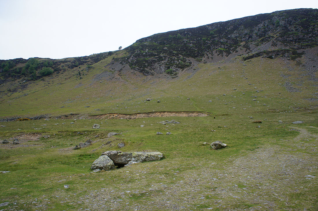
No messing about at the start of this walk as it's uphill straight away with Rake Trod up onto Carrock Fell
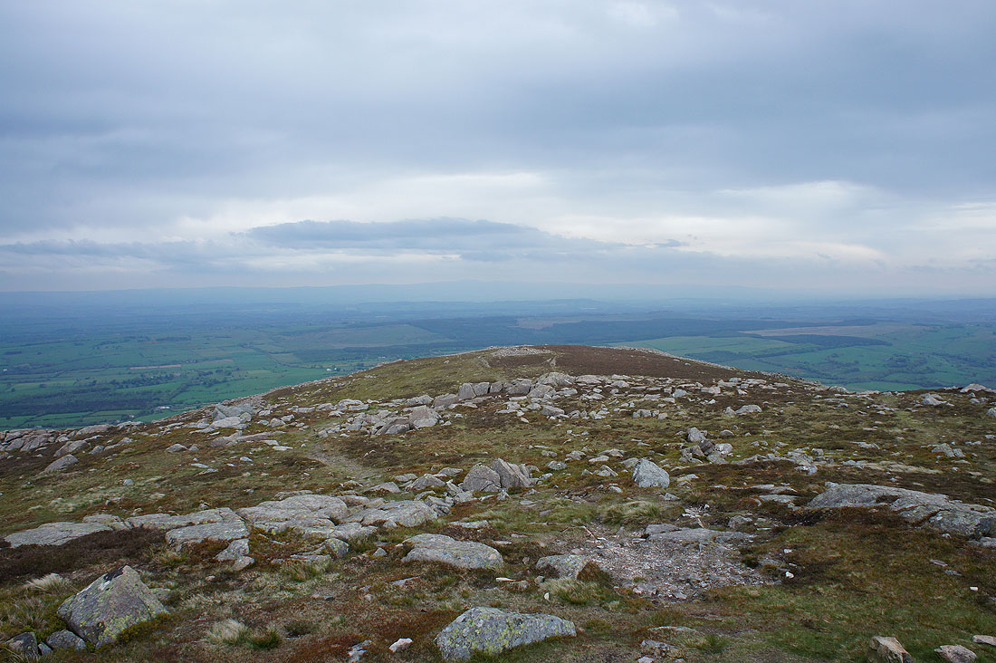
At Carrock Fell's east summit looking south to the High Street range and the northern end of the eastern fells
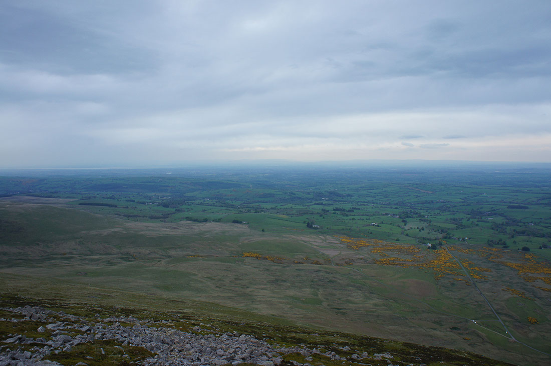
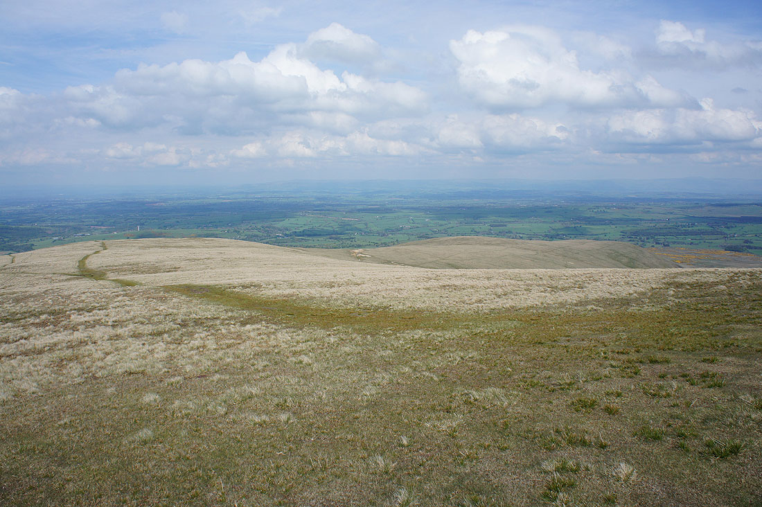
Then east across the Eden Valley to the North Pennines..
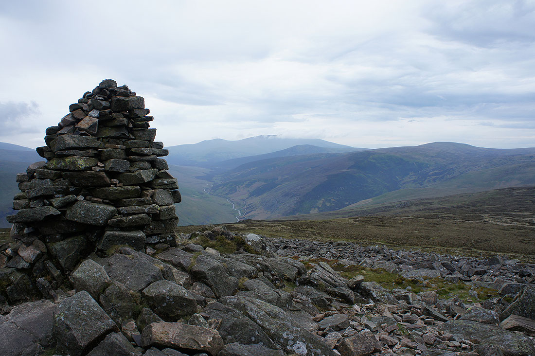
On the summit of Carrock Fell looking up the valley of the River Caldew to Skiddaw with a bit of cloud on it
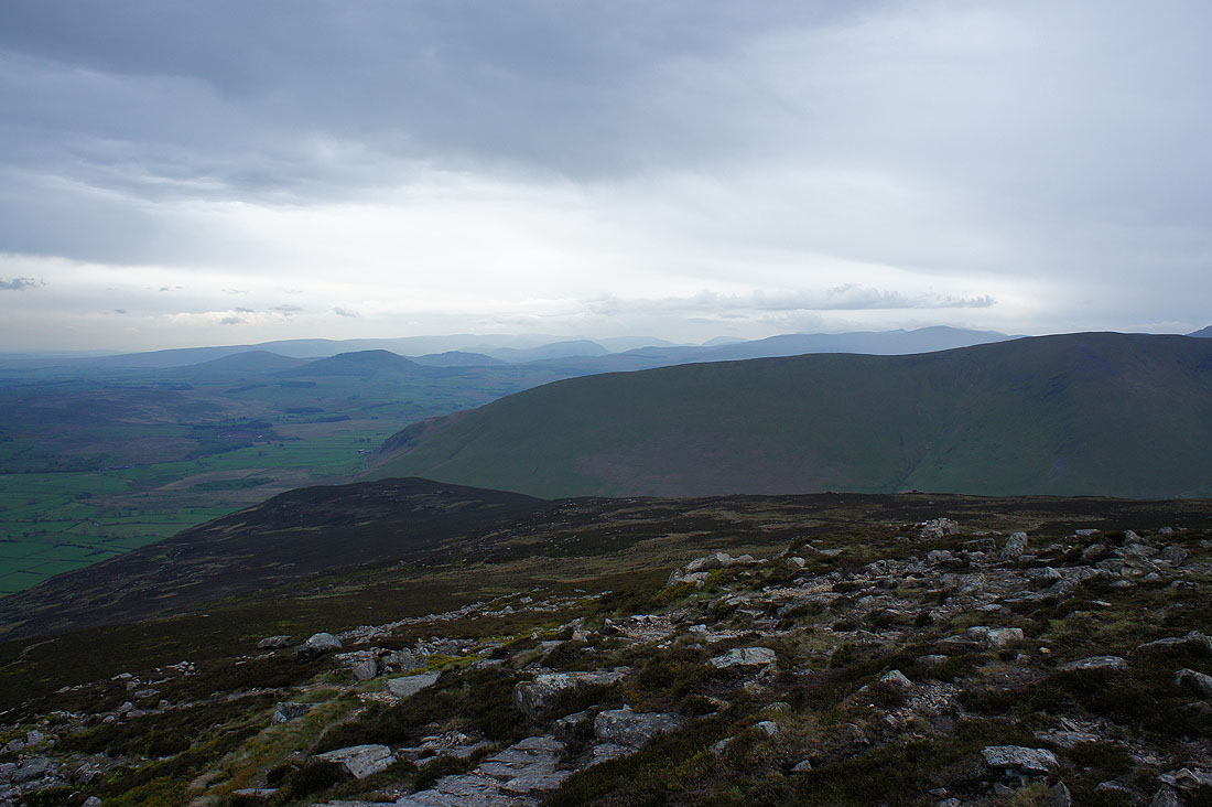
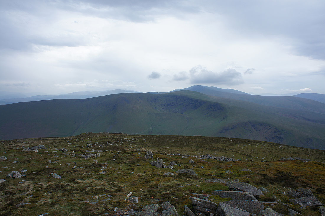
Bowscale Fell on the other side of Mosedale
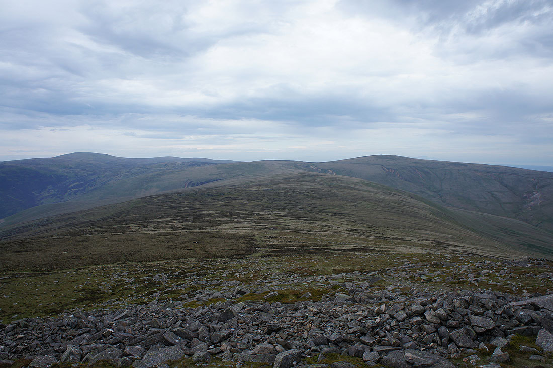
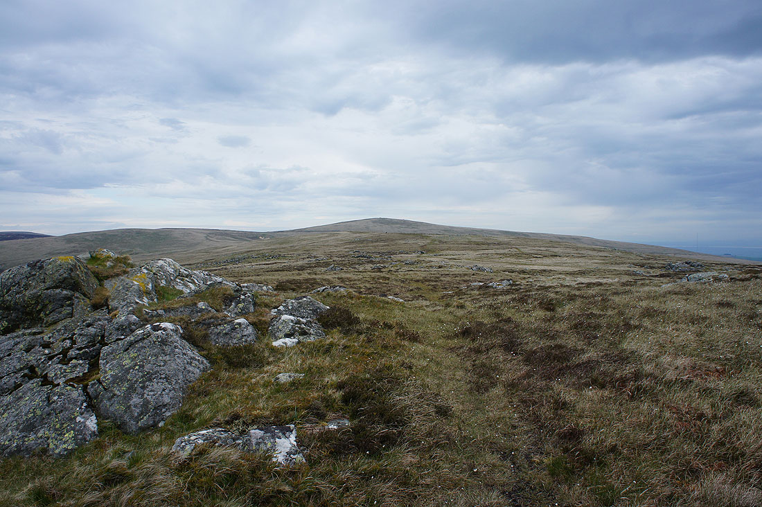
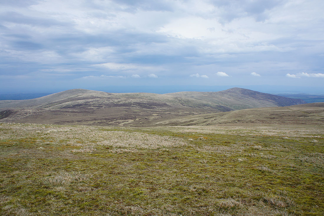
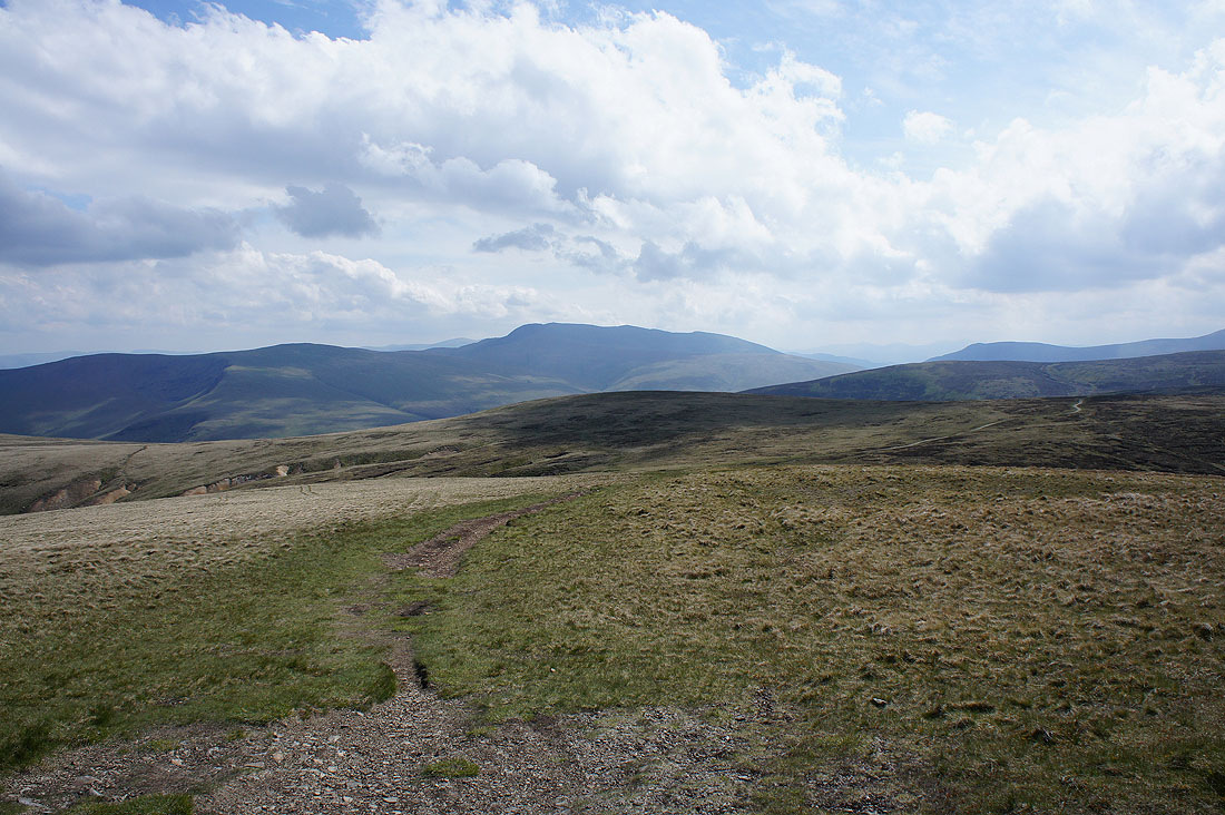
Looking west to what will be a lot of the ground that I'll cover today. Knott on the left and High Pike on the right.
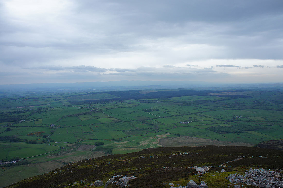
Finally looking east past Carrock Fell's east summit and across the Eden Valley to the North Pennines
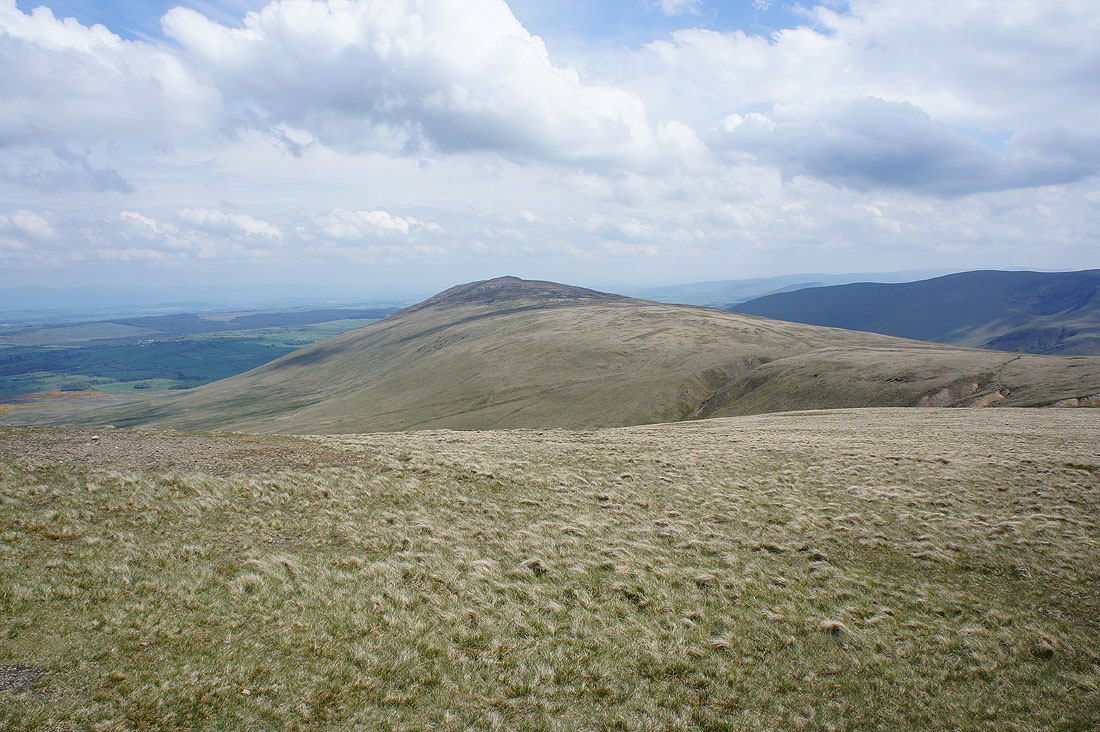
High Pike from Round Knott
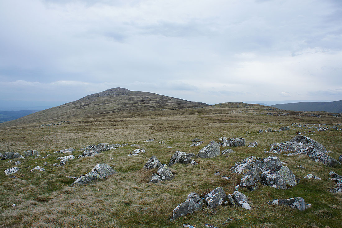
Carrock Fell from Miton Hill
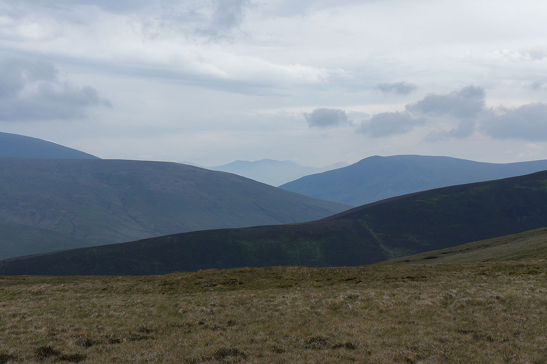
I think that's Scafell Pike in the distance as I zoom in through the gap between Mungrisdale Common and Lonscale Fell
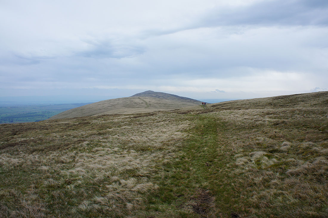
Looking back to Carrock Fell as I reach the trail of the Cumbria Way
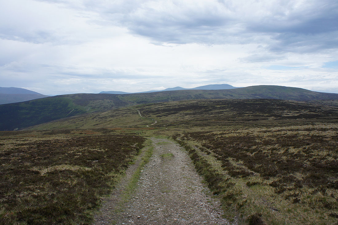
I'll now follow the trail south across the side of Great Lingy Hill before leaving it for Knott
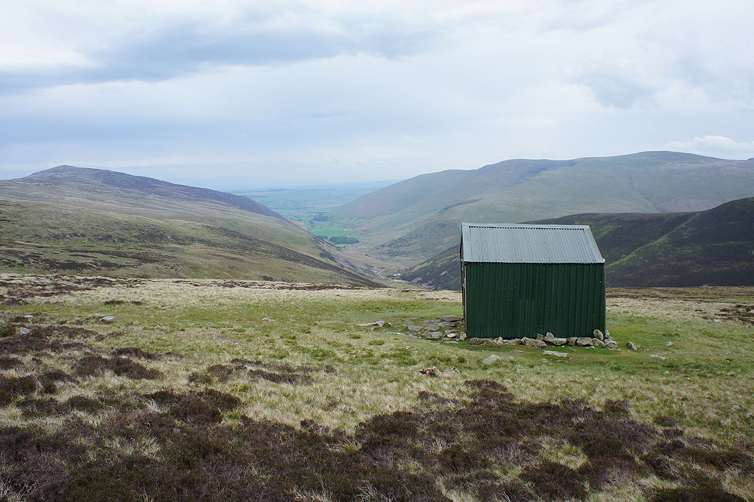
The shelter of Lingy Hut stands above the valley of Mosedale
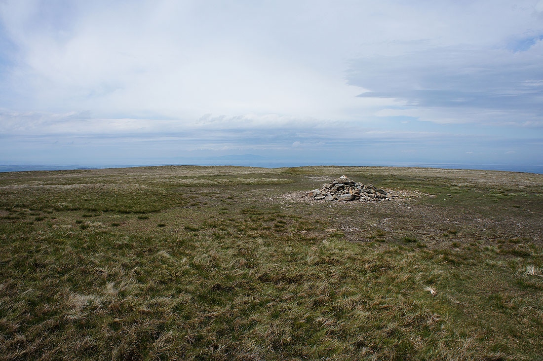
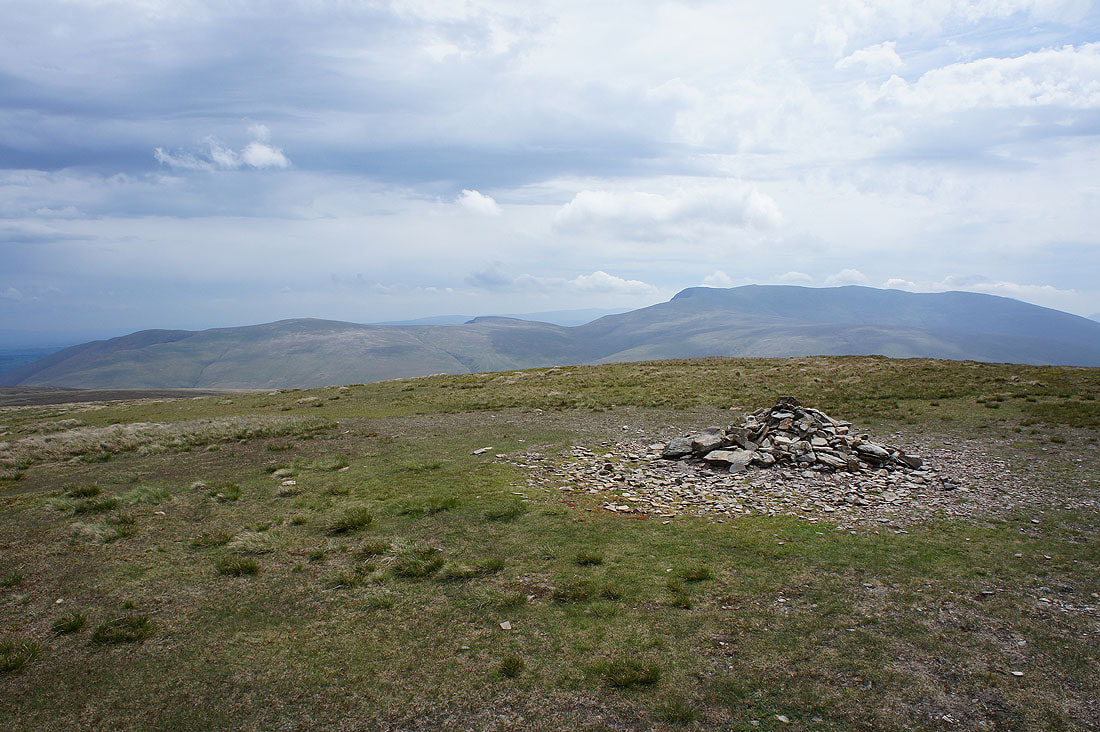
Some time later and I'm on the rather flat and featureless summit of Knott. At least it's brightened up and the sun is out.
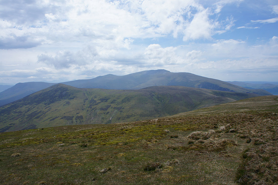
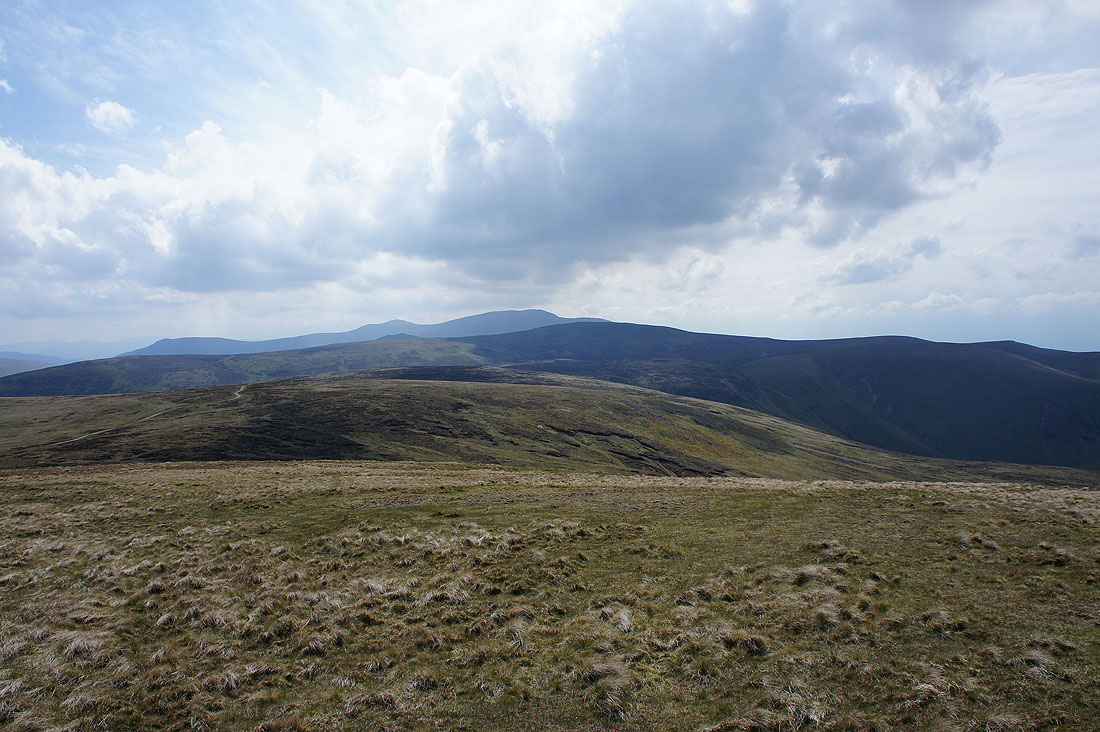
Bowscale Fell and Blencathra
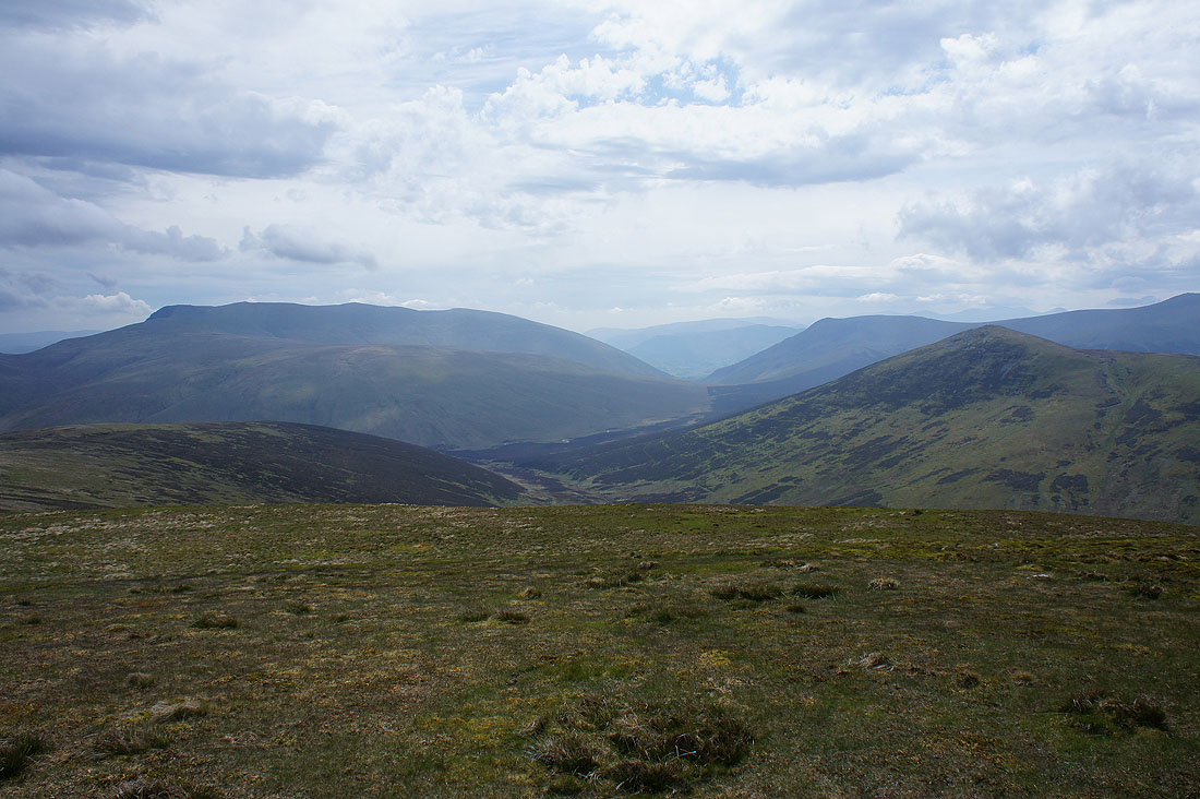
Blencathra, Lonscale Fell and Great Calva
Great Calva, Skiddaw Little Man and Skiddaw
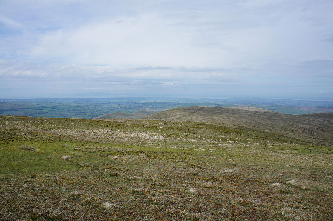
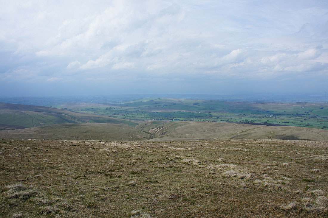
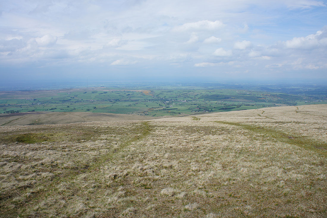
Looking out across the coastal plain to the Solway Firth with the hill of Criffel in the distance
High Pike and Carrock Fell as I retrace my steps to the Cumbria Way
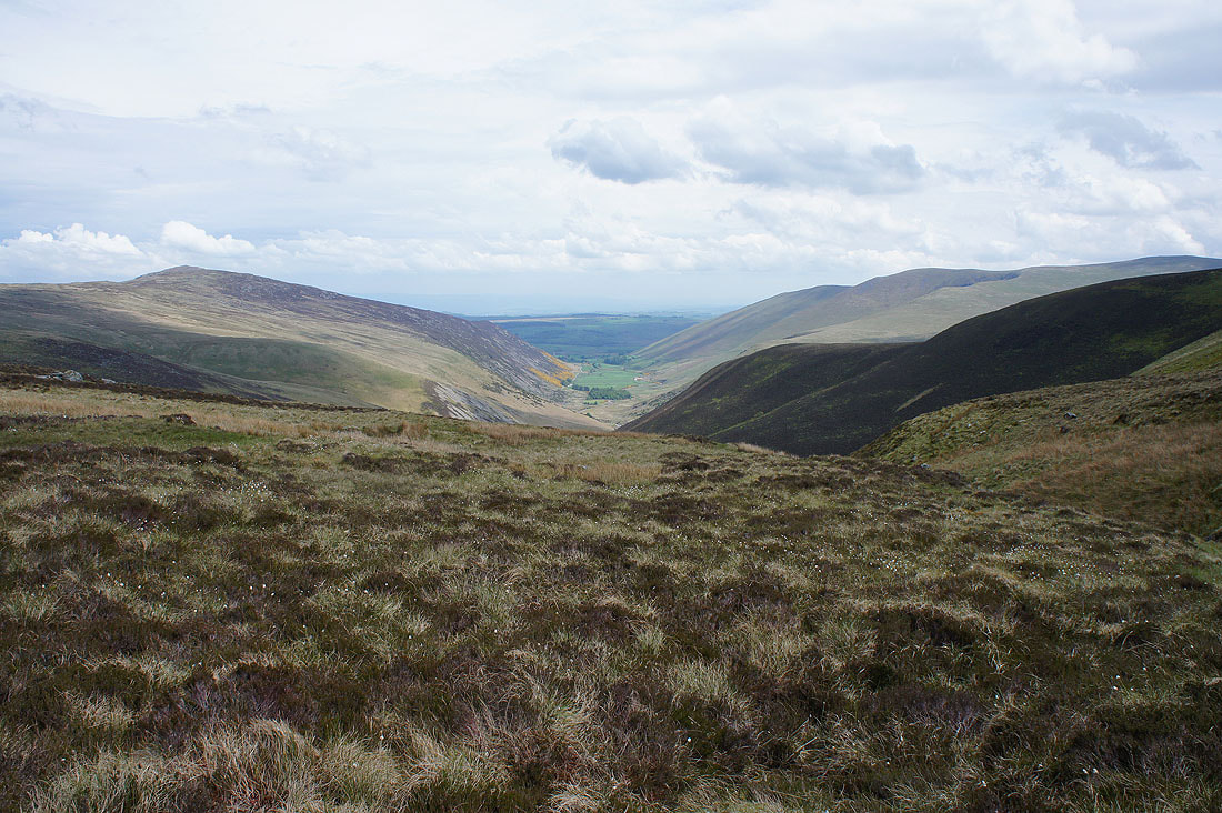
Past the head of Mosedale, which means dreary valley. It doesn't look it today though.
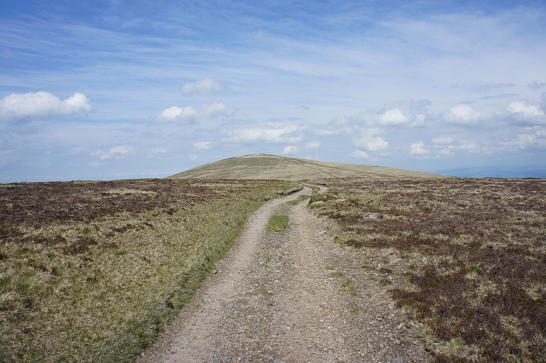
The final climb to High Pike
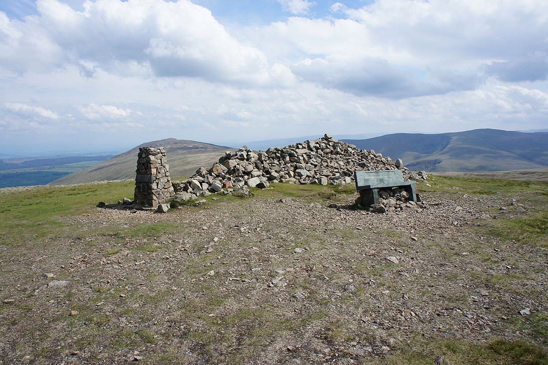
On the summit of High Pike with a trig point, large cairn and a bench. Not every fell has a bench, I'll definitely be making use of it.
Carrock Fell from High Pike
Bowscale Fell and Blencathra
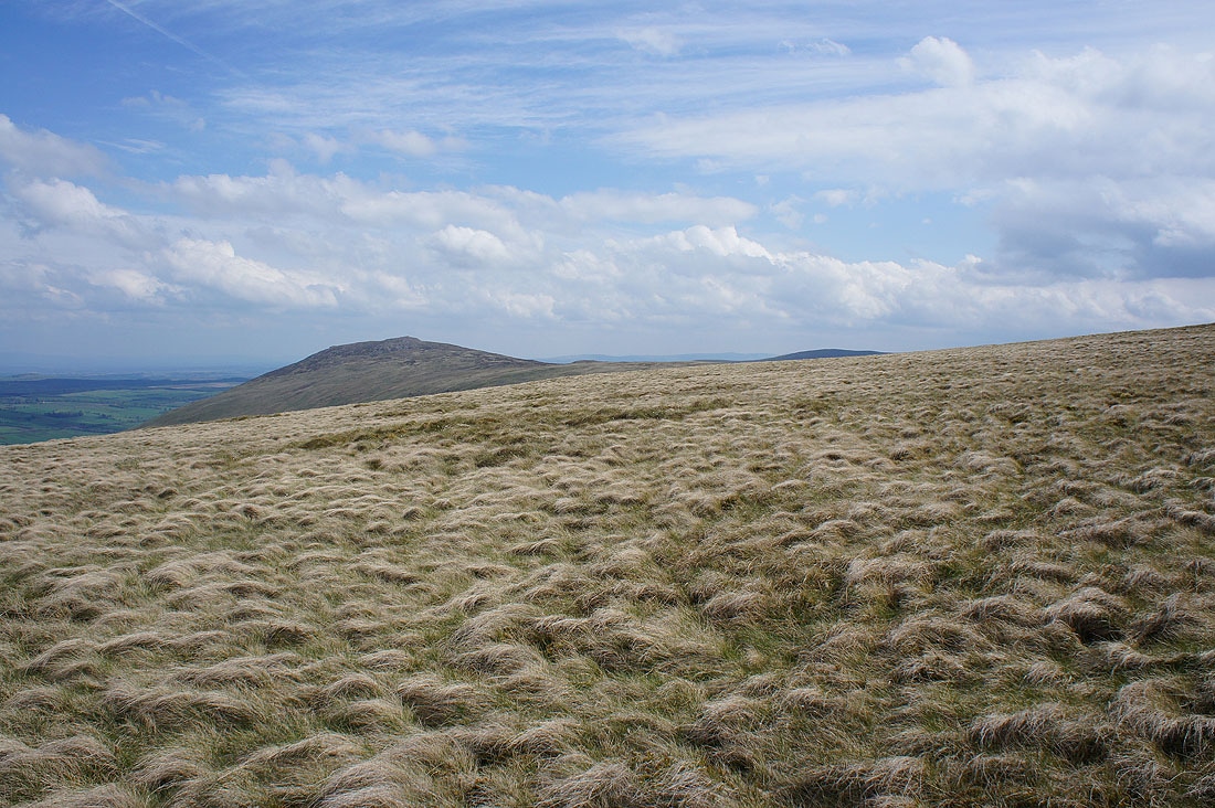
Skiddaw in the distance behind Knott
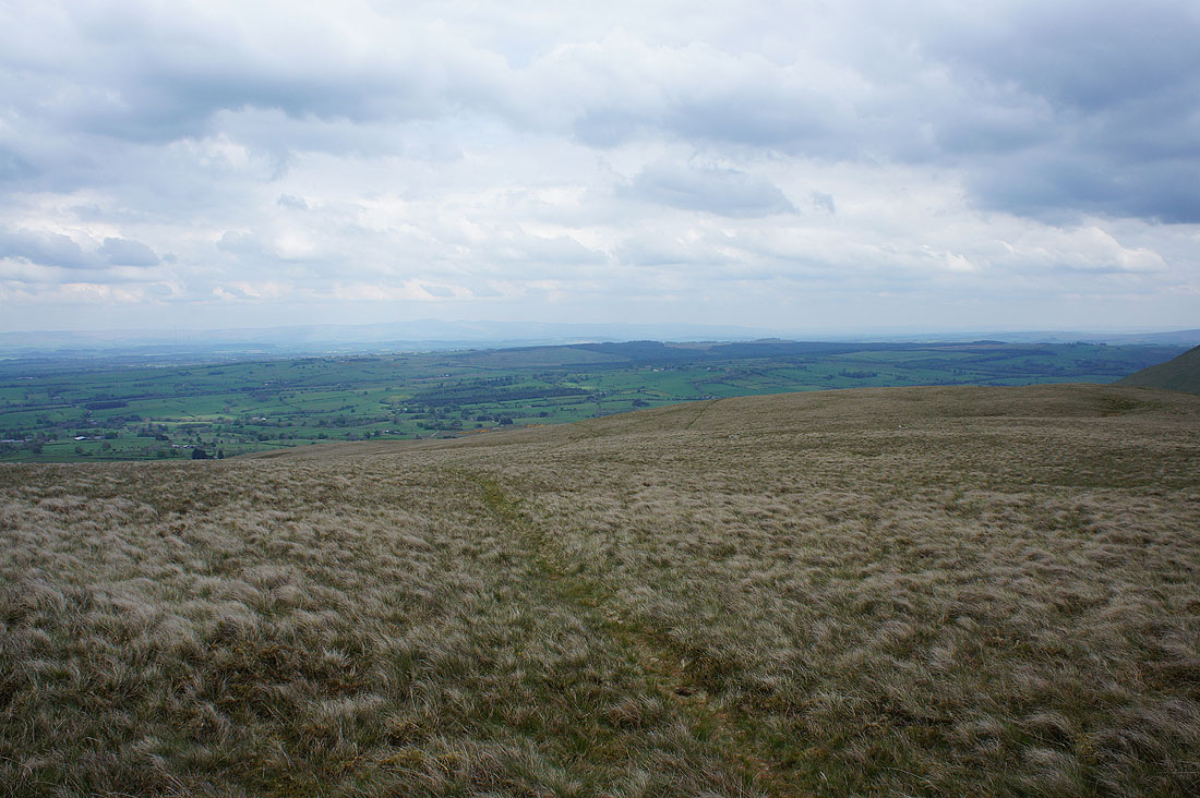
The Solway Firth is disappearing from view as grey skies approach
Looking north to the village of Caldbeck
West Fell, which will be my route down
Starting down West Fell and I couldn't resist taking this shot looking across to Carrock Fell before the blue skies disappeared
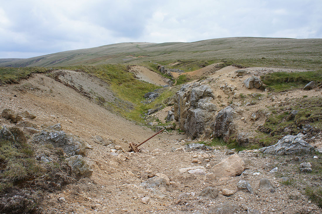
It isn't easy to do a walk in the Caldbeck Fells without seeing some evidence of the mining that used to take place here
Heading down West Fell and the grey skies are moving in
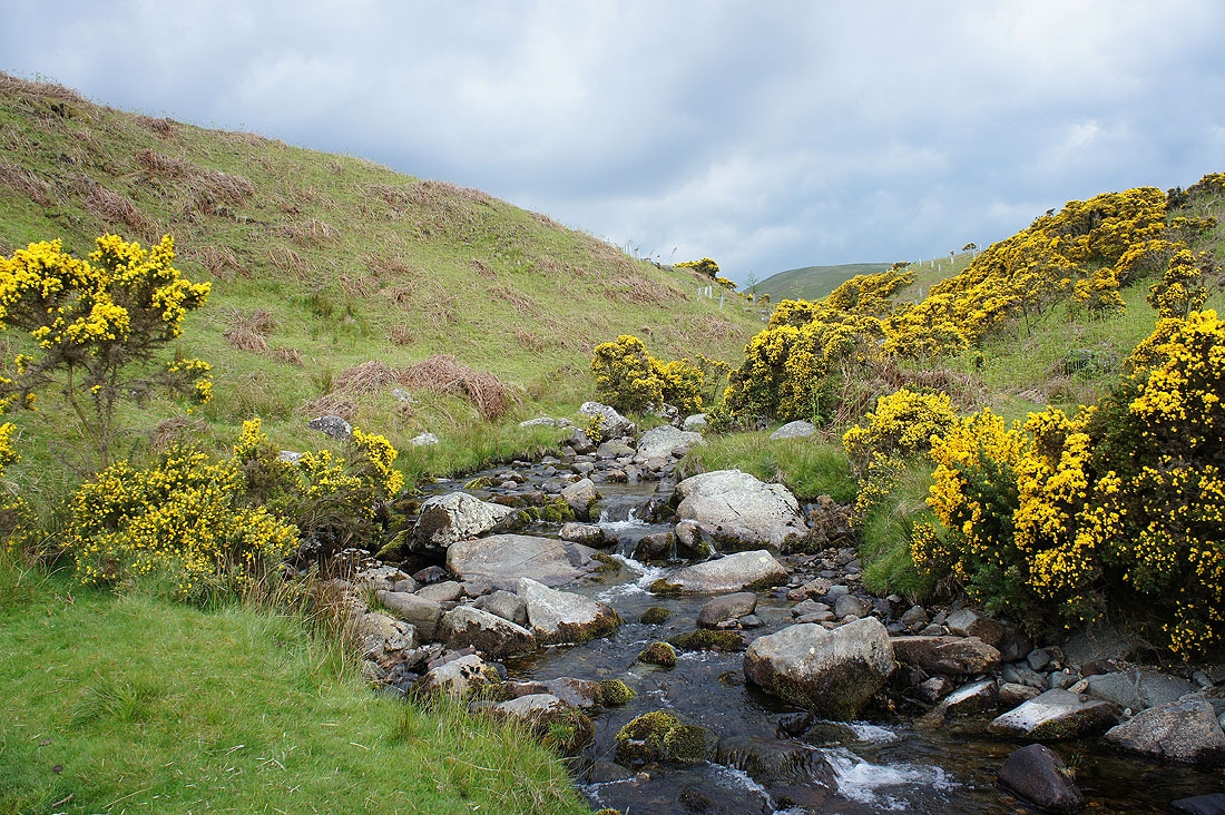
A gorse lined Carrock Beck
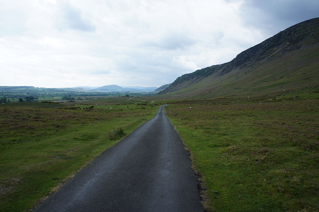
It's a bit grey and windy now as I walk south along the road to where I parked below Carrock Fell
