22nd May 2021 - Braithwaite Moor and Guise Cliff
Walk Details
Distance walked: 14.5 miles
Total ascent: 2350 ft
OS map used: 298 - Nidderdale
Time taken: 7.5 hrs
Route description: Pateley Bridge-Nidderdale Way-Blazefield-Nidderdale Way-White Houses-Kiln House-River Nidd-Glasshouses Bridge-Hollin Farm-Guisecliff Wood-Glasshouses Bridge-Turner Bridge-Nought Bank Road-Skrikes Wood-Peat Lane-Low Moor-Flat Moor-Braithwaite Moor-Deerings Heights-Deer Ing House Farm-Foldshaw Lane-Nought Moor Road-High Crag-Guise Cliff-Nidderdale Way-Bewerley-Pateley Bridge
The route that I worked out for my walk this weekend gave me the chance to explore a bit more of Nidderdale, and most importantly included Guise Cliff, so that I could take in what is one of my favourite views. The new territory was bridleways and paths east of Glasshouses and Wilsill, paths by the River Nidd east of Glasshouses, Guisecliff Tarn and Guisecliff Wood, and then the moorland of Low Moor, Flat Moor and Braithwaite Moor. The paths that I'd initially intended to follow proved difficult to find. I had planned on exiting Guisecliff Wood on a path to Nought Bank Road but ended up leaving it more or less where I entered it. That required a change to my planned route. The next problem was crossing Braithwaite Moor. The OS map has a public footpath across it, but I couldn't find any evidence of it, so that meant wading through tussocks and heather trying to keep to the correct heading. I won't be going that way again. After a grey and overcast start it took a long time to brighten up, but it did, and the cloud broke up in the middle of the afternoon to give me the best weather of the day for taking in the views from High Crag and Guise Cliff.
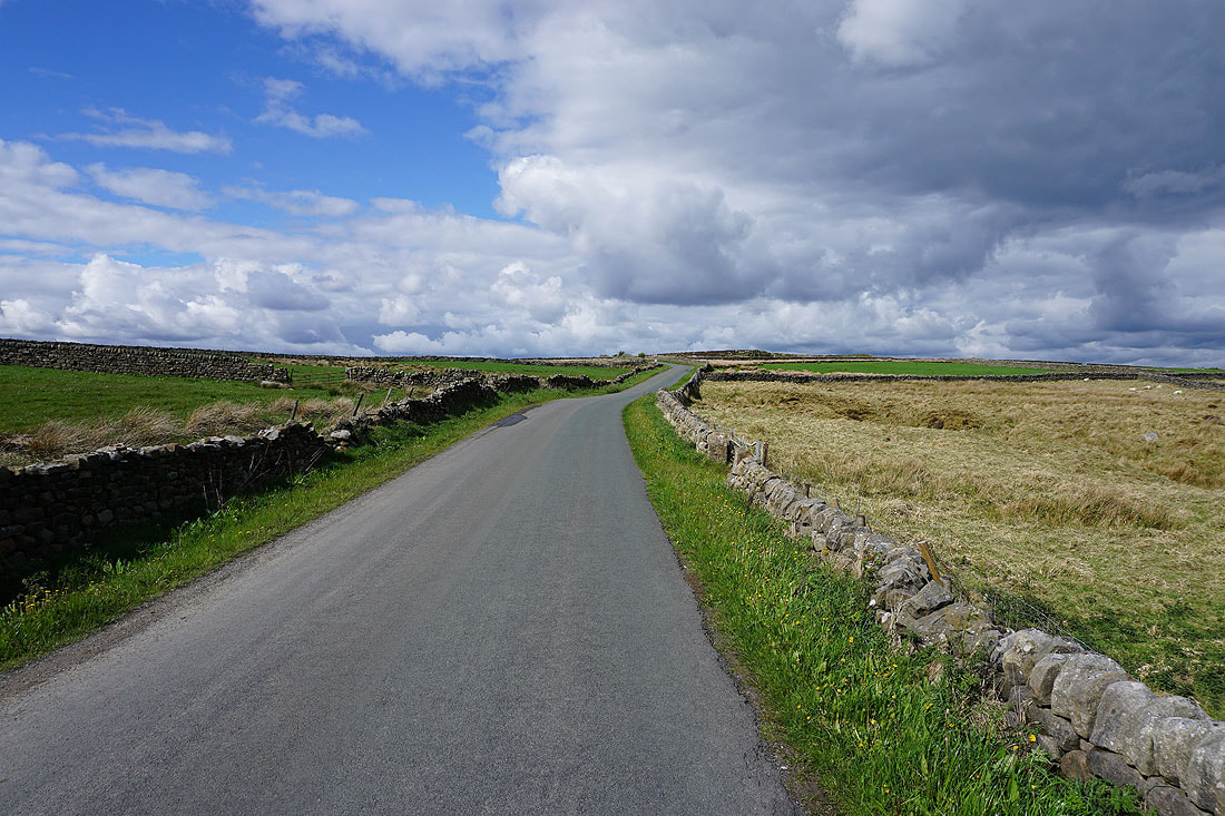
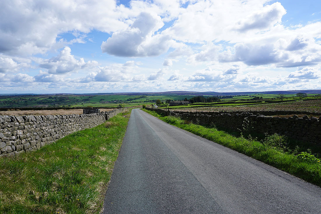
From one of the car parks in Pateley Bridge I walked up the High Street and onto Ripon Road, from where I took the Nidderdale Way east to Blazefield and then to White Houses. I left the Nidderdale Way here for a bridleway down to Kiln House and the Wilsill to Smelthouses road, which I walked a short distance east along for a footpath on the right, then another on the right down a field to the B6165. I crossed the road and took the footpath opposite down to the River Nidd, crossed the footbridge, then turned right and followed the footpath by the south bank of the river to Glasshouses Bridge. I briefly walked along the road towards Bewerley before taking a lane on the left, then a track on the right up past Hollin Farm and into Parker Wood. Paths were then followed through Parker Wood and Guisecliff Wood to Guisecliff Tarn. I didn't find the route out of the woods that I wanted to, and I ended up finding myself exiting onto the track that I used to enter them, so I returned back down it to Glasshouses Bridge, and from there I walked along the road to Bewerley and to Turner Bridge. After a brief walk up Nought Bank Road I took a footpath on the right past Skrikes Farm and through Skrikes Wood to Peat Lane, which I walked up to reach a bridleway on the left up onto Low Moor. I then followed the bridleway south up and across Low Moor and Flat Moor to Braithwaite Moor. When I reached the gate where the bridleway left access land for High House Farm I left it and made my way east across Braithwaite Moor to Deerings Heights, then a public footpath was followed across fields to Deer Ing House and along a track to Foldshaw Lane. I then walked north along Foldshaw Lane and Nought Moor Road until I reached a public footpath on the right, which I took to reach the trig point on High Crag. After taking in the view I followed a path to the eastern end of Guise Cliff, made my way west along the path on the top of Guise Cliff, then picked up the Nidderdale Way and followed it down past Yorke's Folly to Nought Bank Road, across the road and down Nought Moor to Nought Bank Road again and Turner Bridge. I then walked along the road through Bewerley to Bridgehouse Gate and back to Pateley Bridge.
Total ascent: 2350 ft
OS map used: 298 - Nidderdale
Time taken: 7.5 hrs
Route description: Pateley Bridge-Nidderdale Way-Blazefield-Nidderdale Way-White Houses-Kiln House-River Nidd-Glasshouses Bridge-Hollin Farm-Guisecliff Wood-Glasshouses Bridge-Turner Bridge-Nought Bank Road-Skrikes Wood-Peat Lane-Low Moor-Flat Moor-Braithwaite Moor-Deerings Heights-Deer Ing House Farm-Foldshaw Lane-Nought Moor Road-High Crag-Guise Cliff-Nidderdale Way-Bewerley-Pateley Bridge
The route that I worked out for my walk this weekend gave me the chance to explore a bit more of Nidderdale, and most importantly included Guise Cliff, so that I could take in what is one of my favourite views. The new territory was bridleways and paths east of Glasshouses and Wilsill, paths by the River Nidd east of Glasshouses, Guisecliff Tarn and Guisecliff Wood, and then the moorland of Low Moor, Flat Moor and Braithwaite Moor. The paths that I'd initially intended to follow proved difficult to find. I had planned on exiting Guisecliff Wood on a path to Nought Bank Road but ended up leaving it more or less where I entered it. That required a change to my planned route. The next problem was crossing Braithwaite Moor. The OS map has a public footpath across it, but I couldn't find any evidence of it, so that meant wading through tussocks and heather trying to keep to the correct heading. I won't be going that way again. After a grey and overcast start it took a long time to brighten up, but it did, and the cloud broke up in the middle of the afternoon to give me the best weather of the day for taking in the views from High Crag and Guise Cliff.
From one of the car parks in Pateley Bridge I walked up the High Street and onto Ripon Road, from where I took the Nidderdale Way east to Blazefield and then to White Houses. I left the Nidderdale Way here for a bridleway down to Kiln House and the Wilsill to Smelthouses road, which I walked a short distance east along for a footpath on the right, then another on the right down a field to the B6165. I crossed the road and took the footpath opposite down to the River Nidd, crossed the footbridge, then turned right and followed the footpath by the south bank of the river to Glasshouses Bridge. I briefly walked along the road towards Bewerley before taking a lane on the left, then a track on the right up past Hollin Farm and into Parker Wood. Paths were then followed through Parker Wood and Guisecliff Wood to Guisecliff Tarn. I didn't find the route out of the woods that I wanted to, and I ended up finding myself exiting onto the track that I used to enter them, so I returned back down it to Glasshouses Bridge, and from there I walked along the road to Bewerley and to Turner Bridge. After a brief walk up Nought Bank Road I took a footpath on the right past Skrikes Farm and through Skrikes Wood to Peat Lane, which I walked up to reach a bridleway on the left up onto Low Moor. I then followed the bridleway south up and across Low Moor and Flat Moor to Braithwaite Moor. When I reached the gate where the bridleway left access land for High House Farm I left it and made my way east across Braithwaite Moor to Deerings Heights, then a public footpath was followed across fields to Deer Ing House and along a track to Foldshaw Lane. I then walked north along Foldshaw Lane and Nought Moor Road until I reached a public footpath on the right, which I took to reach the trig point on High Crag. After taking in the view I followed a path to the eastern end of Guise Cliff, made my way west along the path on the top of Guise Cliff, then picked up the Nidderdale Way and followed it down past Yorke's Folly to Nought Bank Road, across the road and down Nought Moor to Nought Bank Road again and Turner Bridge. I then walked along the road through Bewerley to Bridgehouse Gate and back to Pateley Bridge.
Route map
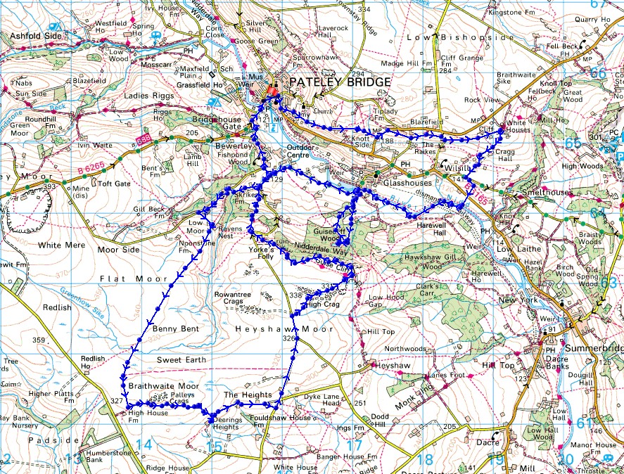
© Crown copyright. All rights reserved. License number PU 100034184.
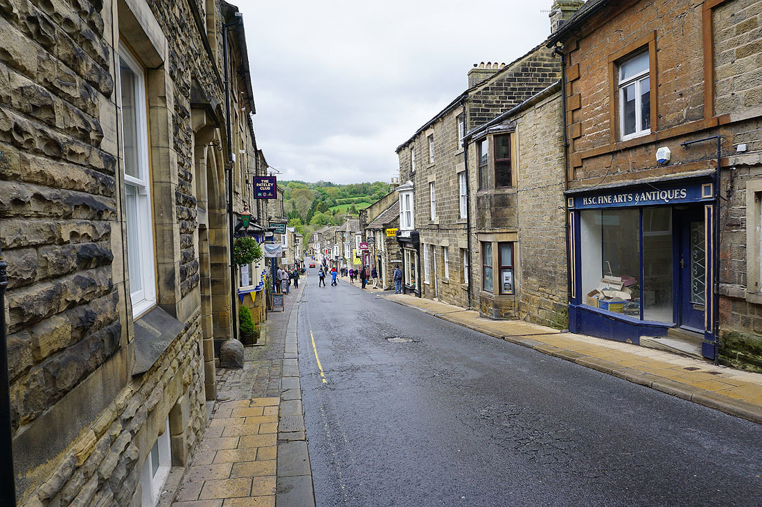
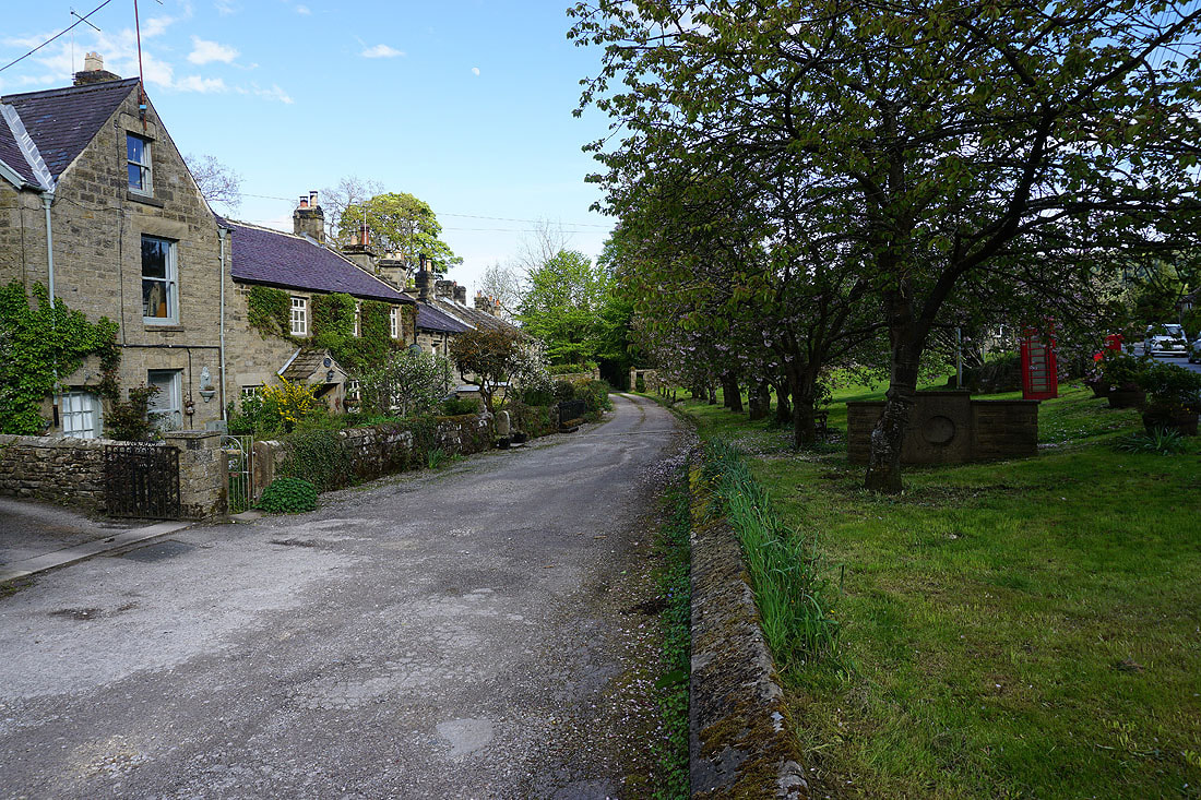
Pateley Bridge High Street on a Saturday morning
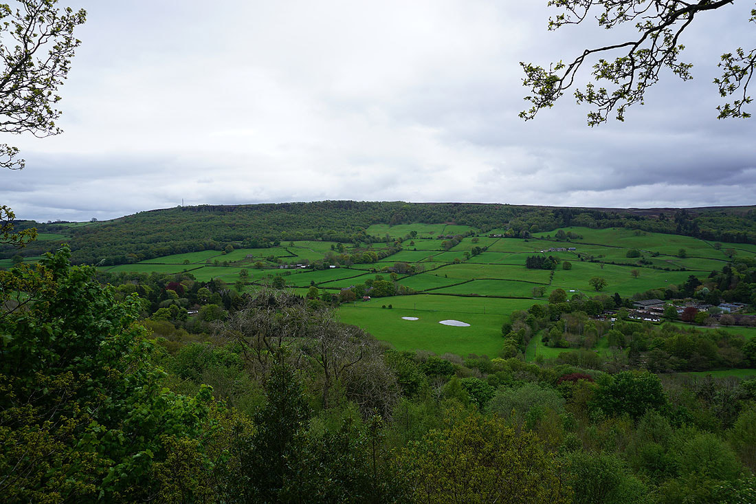
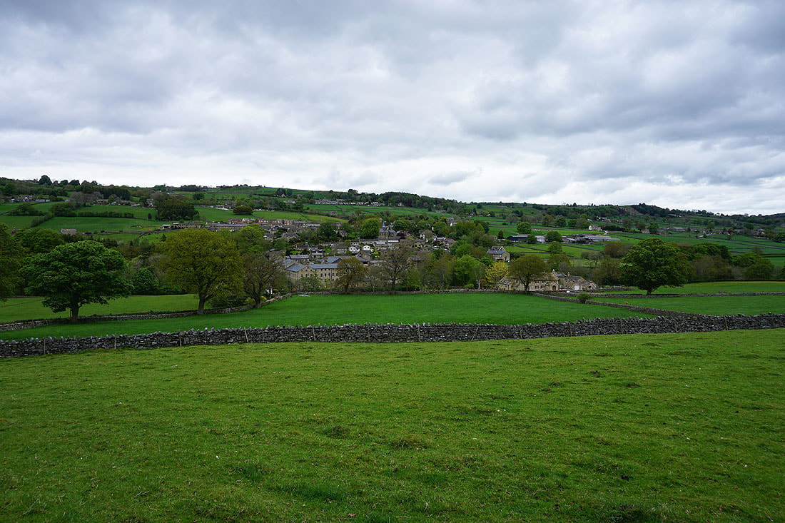
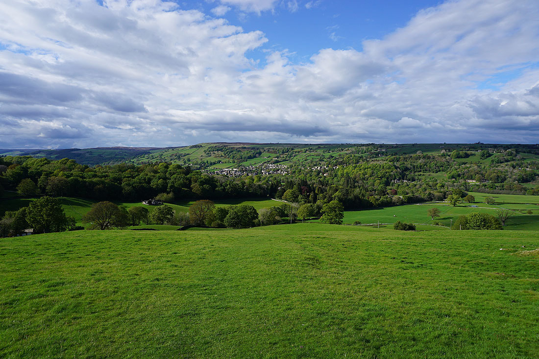
A view across Nidderdale to Guise Cliff from the Nidderdale Way
Looking up Nidderdale
On the Nidderdale Way to Blazefield
Passing through Blazefield
Views down Nidderdale..
..and across Nidderdale to Guise Cliff
On the Nidderdale Way to White Houses
A very full beck tumbles down by the road of The Raikes
Looking back to Guise Cliff in the distance from the Nidderdale Way to White Houses
|
|
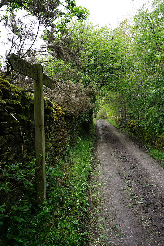
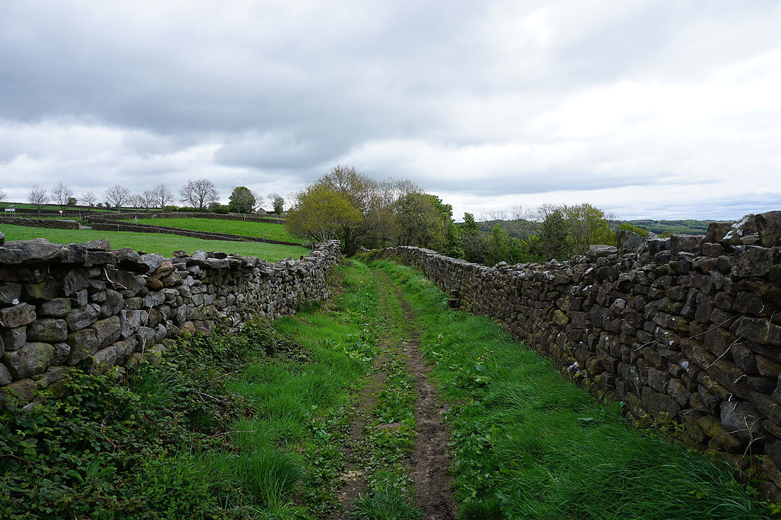
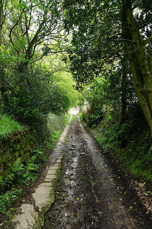
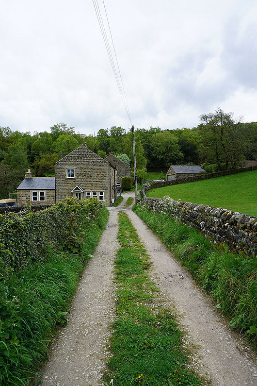
On the bridleway from White Houses down to Kiln House..
On the path from the B6165 down to the River Nidd
|
|
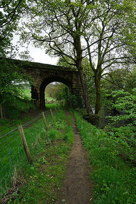
Crossing the River Nidd and then following the footpath by the river to Glasshouses.....
|
|
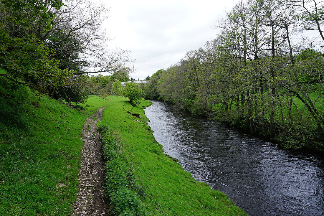
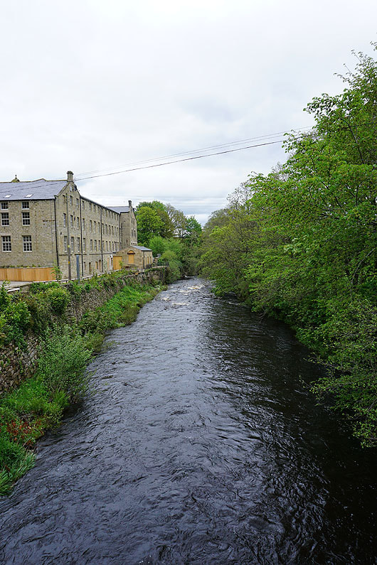
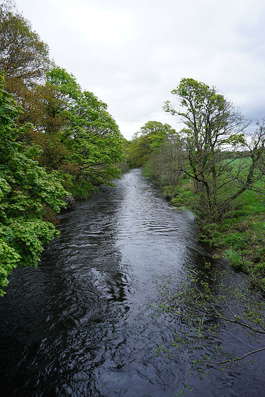
The River Nidd from Glasshouses Bridge
Looking across to Glasshouses..
..as I take the track past Hollin Farm to Guisecliff Wood
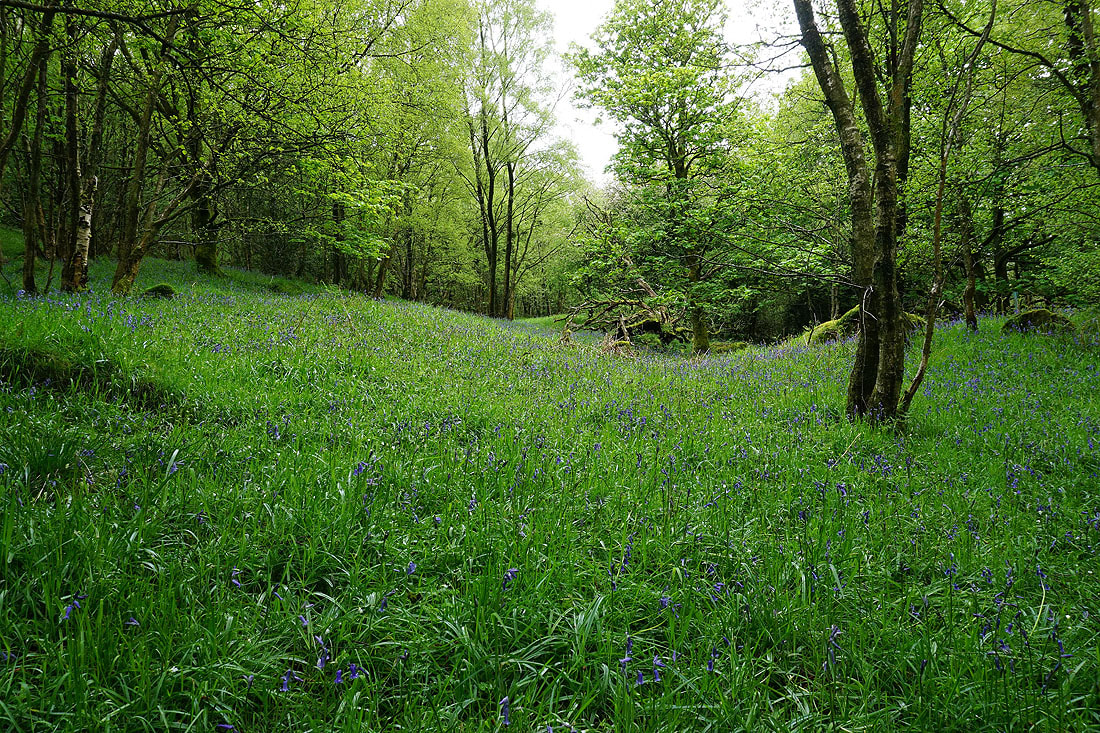
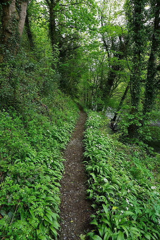
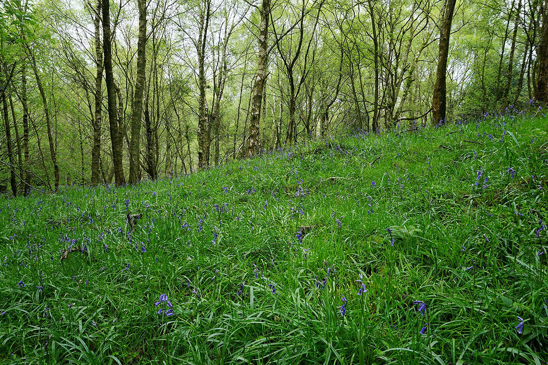
Bluebells in Guisecliff Wood..
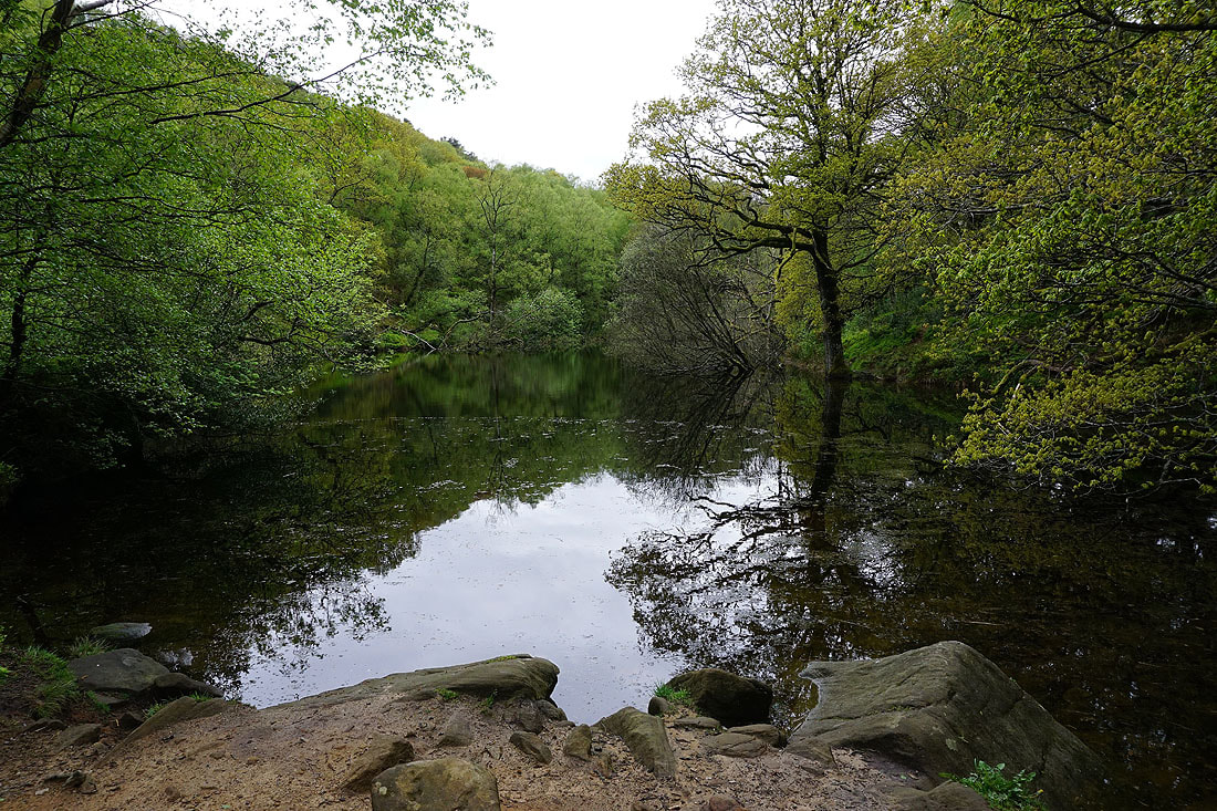
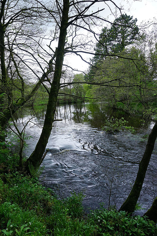
Guisecliff Tarn
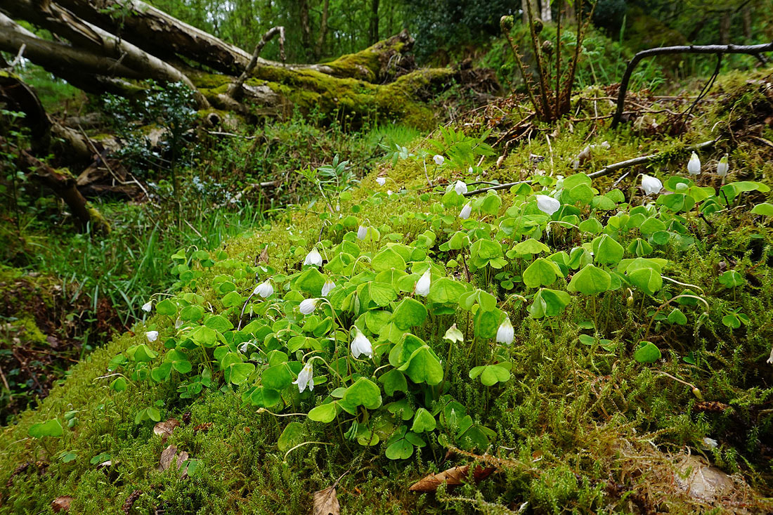
Wood Sorrel in flower
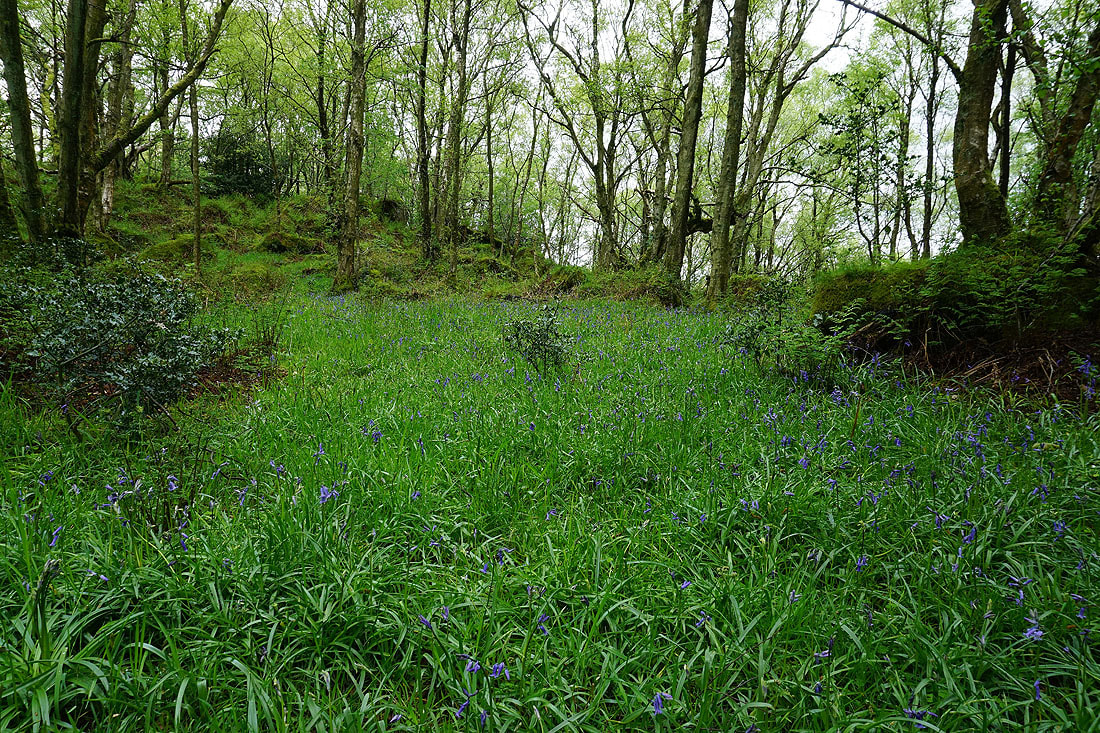
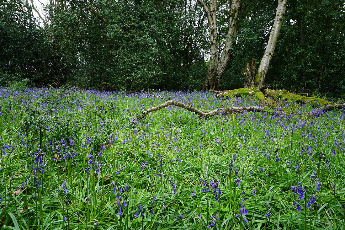
More bluebells in Guisecliff Wood..
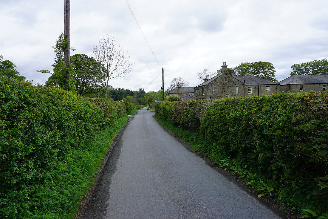
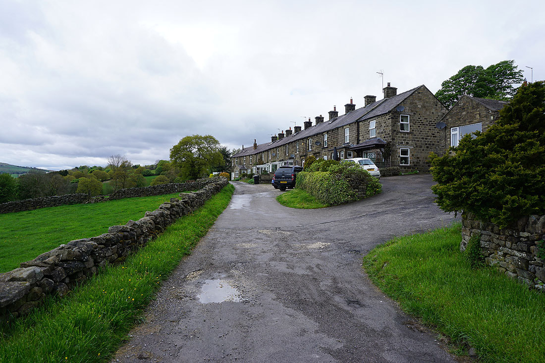
Having made it out of Guisecliff Wood, on the road to Bewerley
|
|
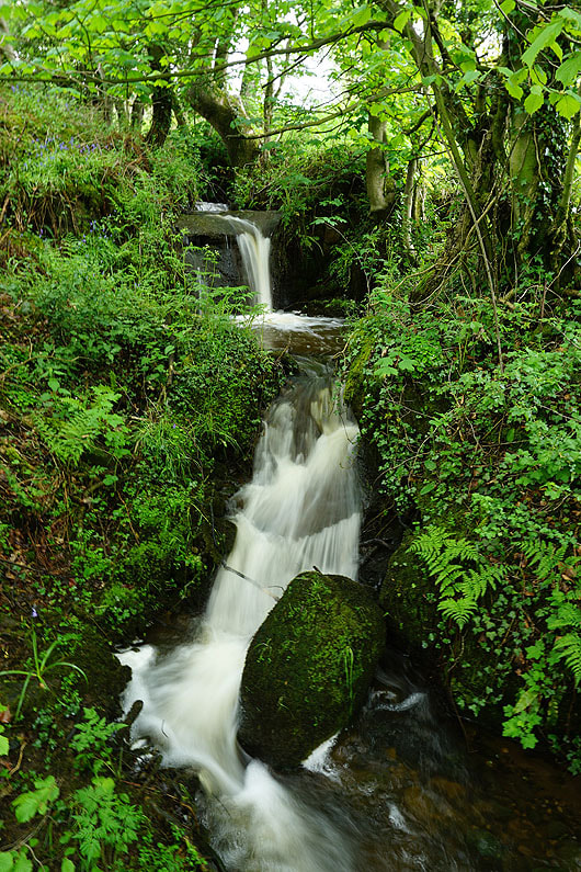
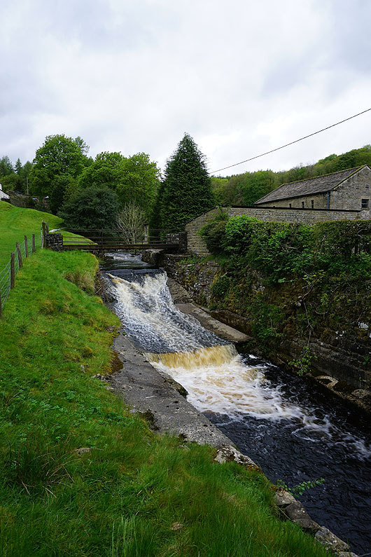
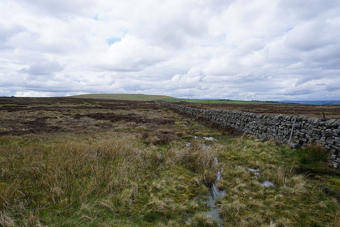
On the path past Skrikes Farm and by Fosse Gill..
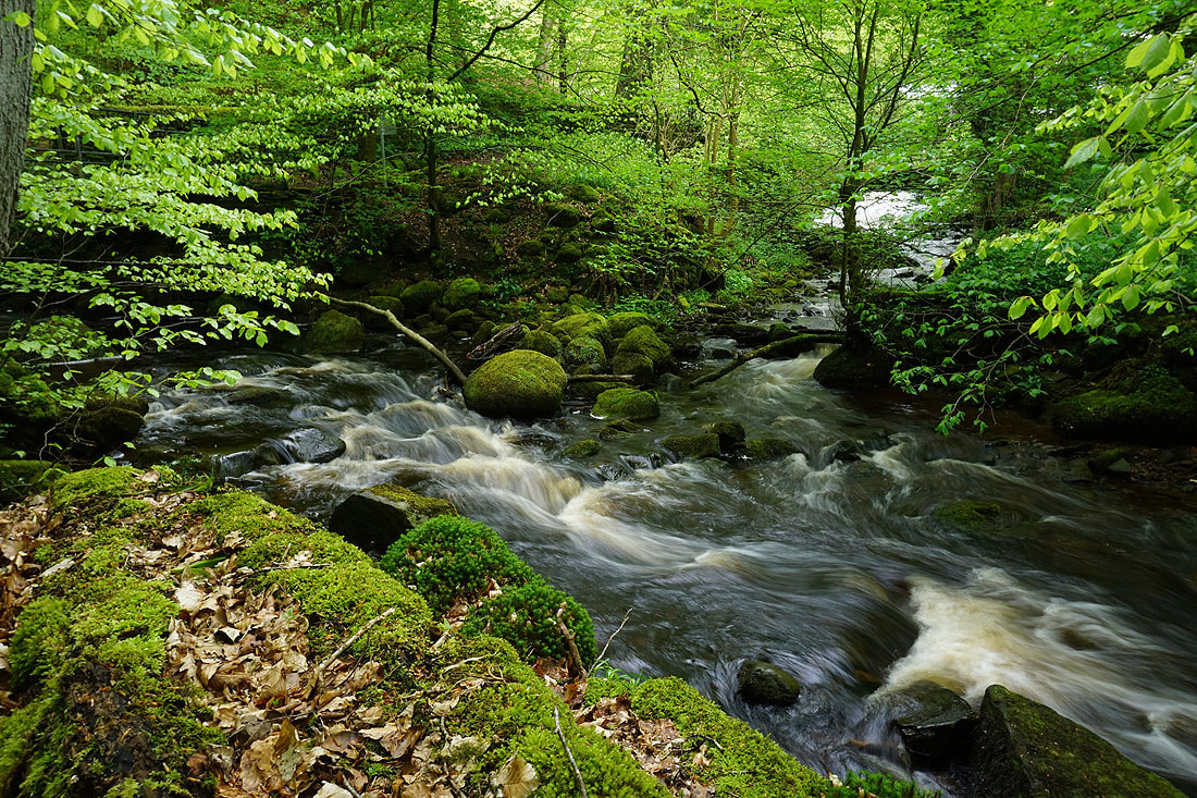
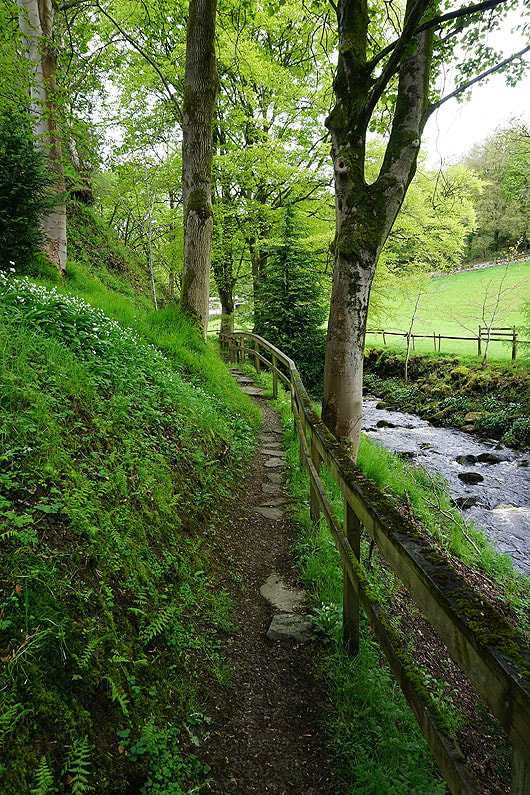
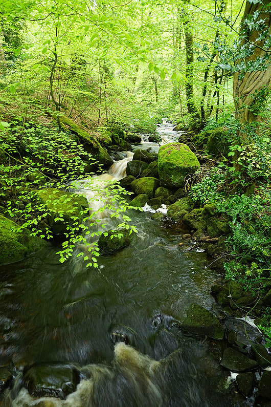
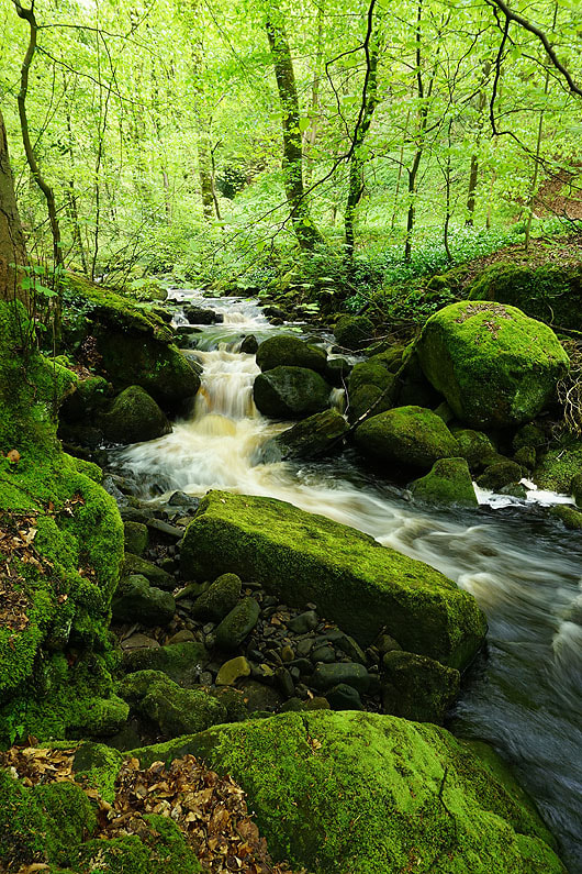
Great scenery in Skrikes Wood with the bright green of the new leaves on the beech trees and the becks tumbling over moss covered rocks...
|
|
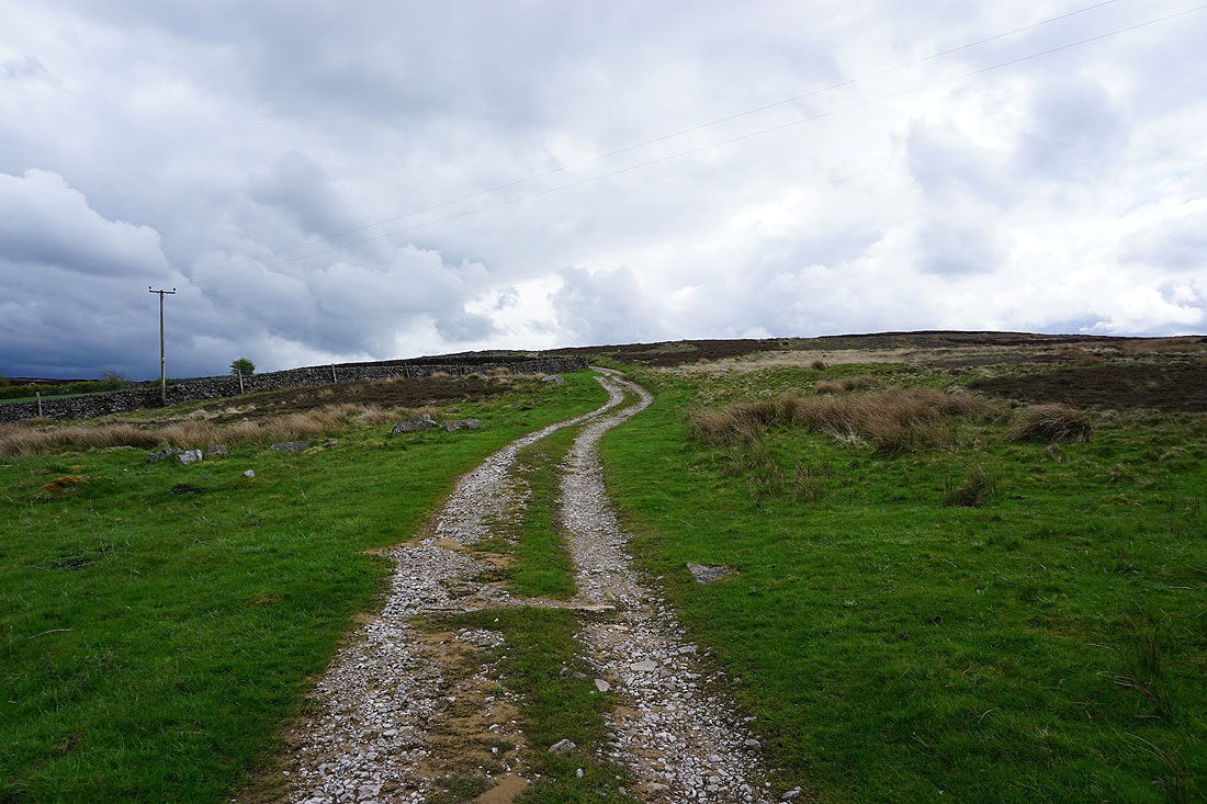
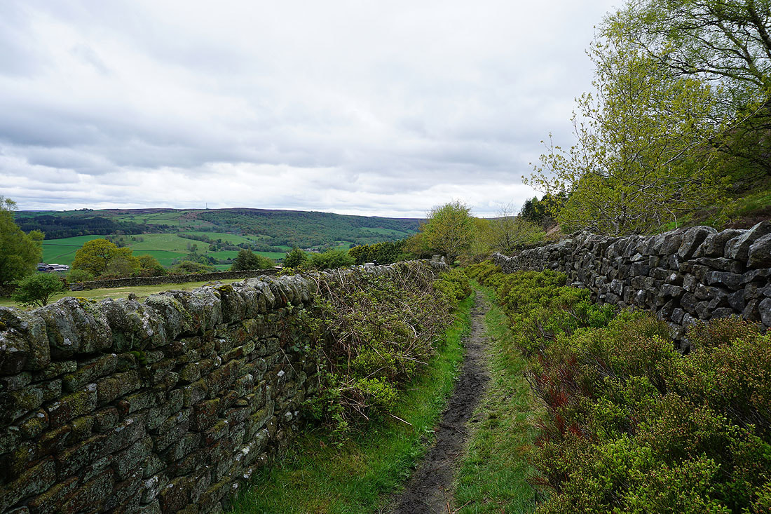
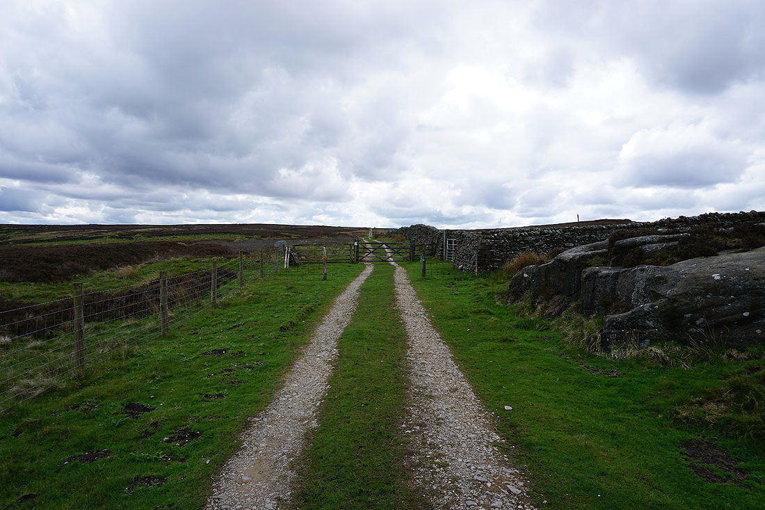
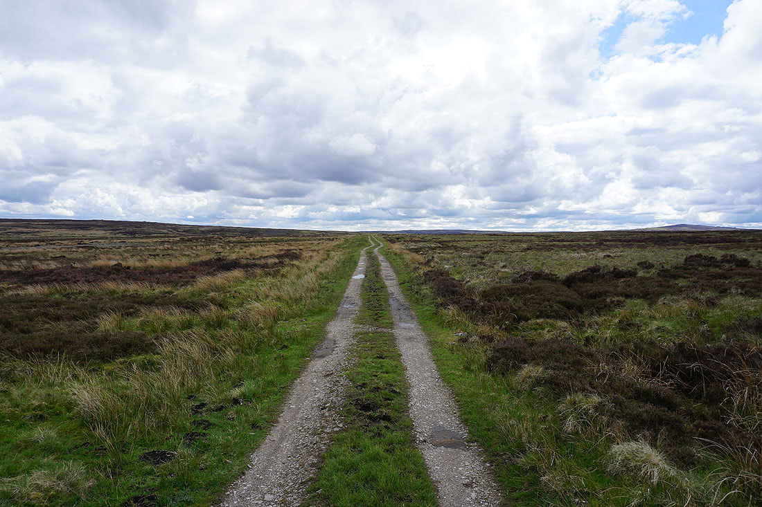
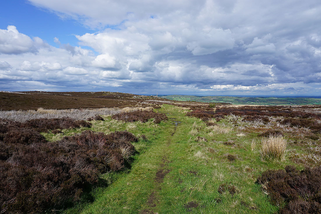
I leave Peat Lane for the bridleway onto Low Moor
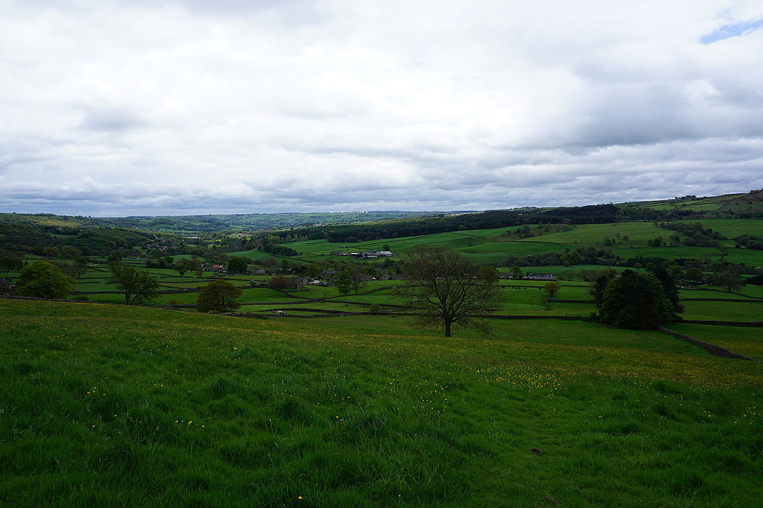
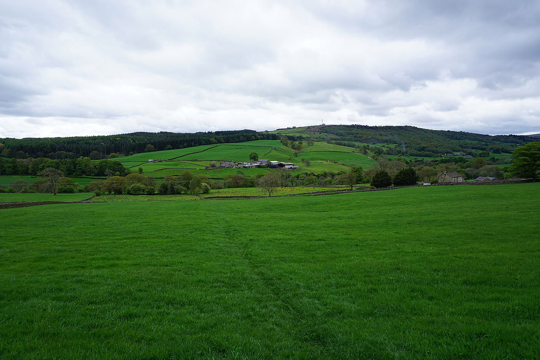
Looking back to take in the view across Nidderdale
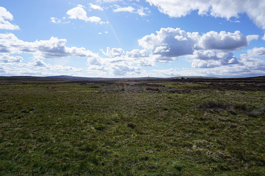
Looking across to Nought Moor from Low Moor
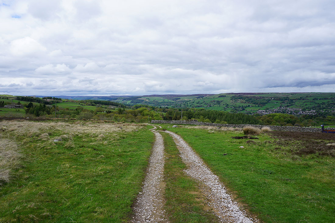
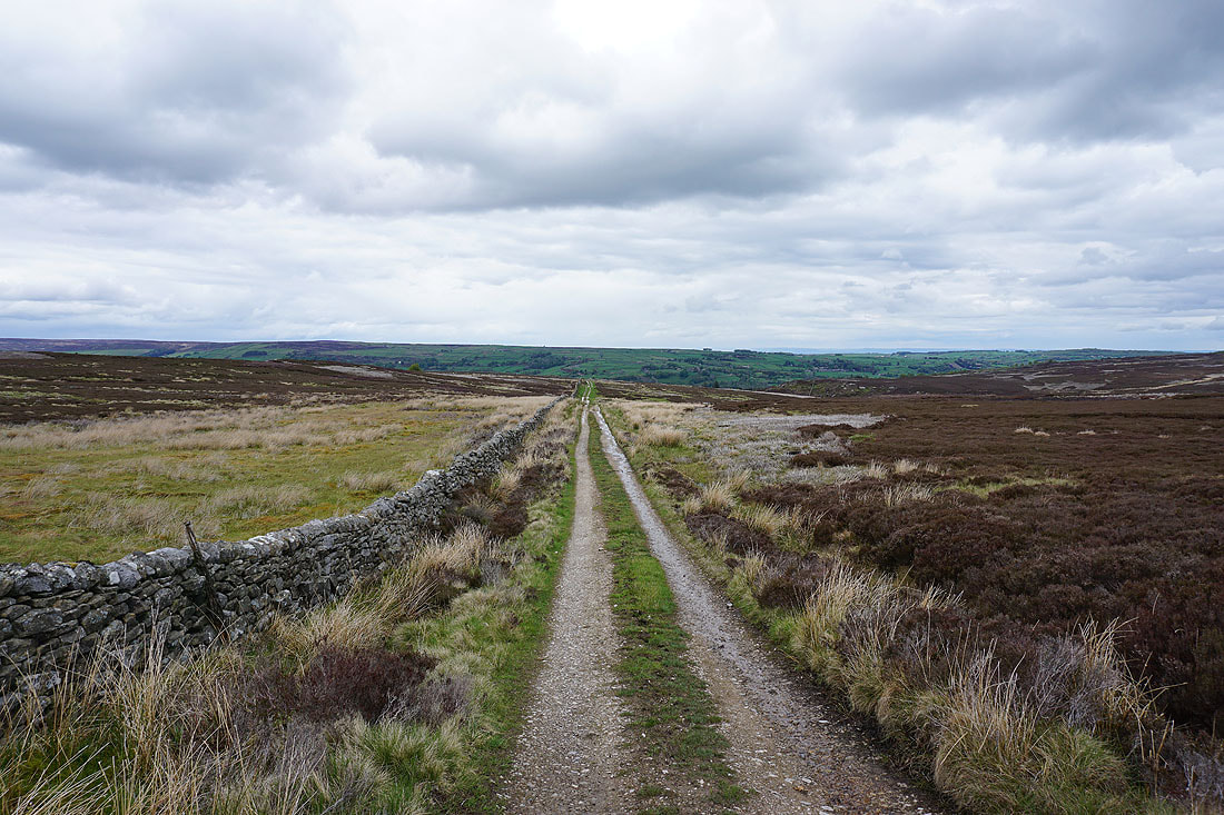
Following the bridleway south to Flat Moor
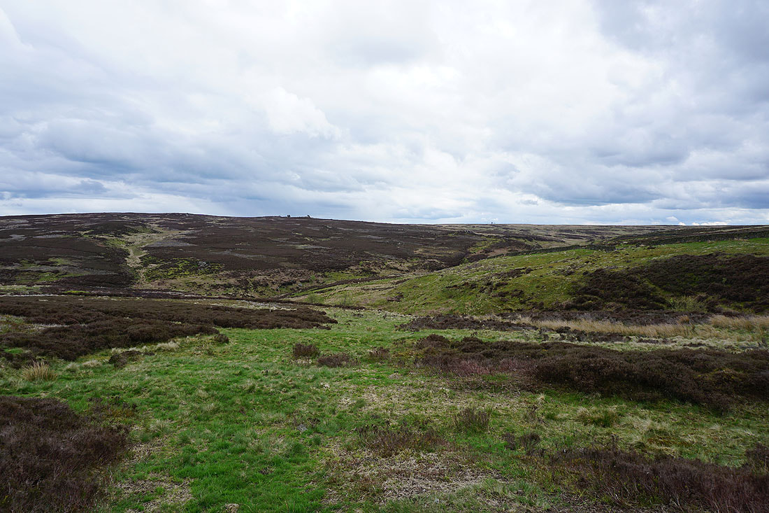
Heyshaw Moor
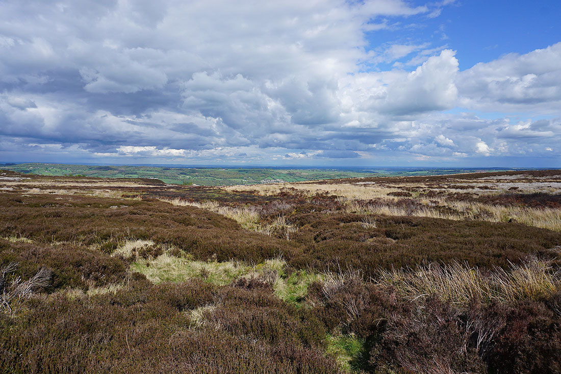
Looking back to Nidderdale from Flat Moor
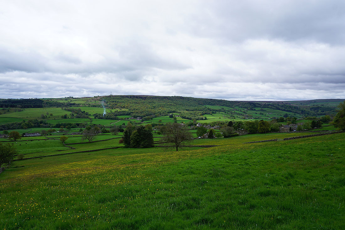
Cold Stones from Flat Moor
On the bridleway south across Flat Moor..
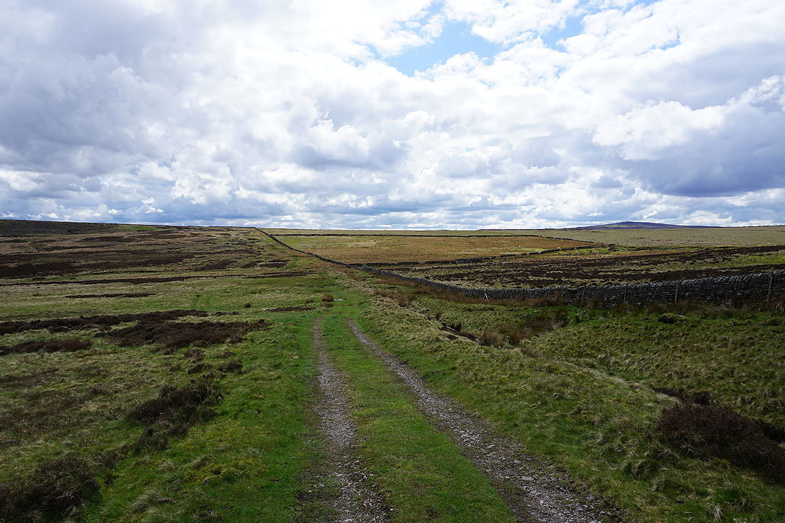
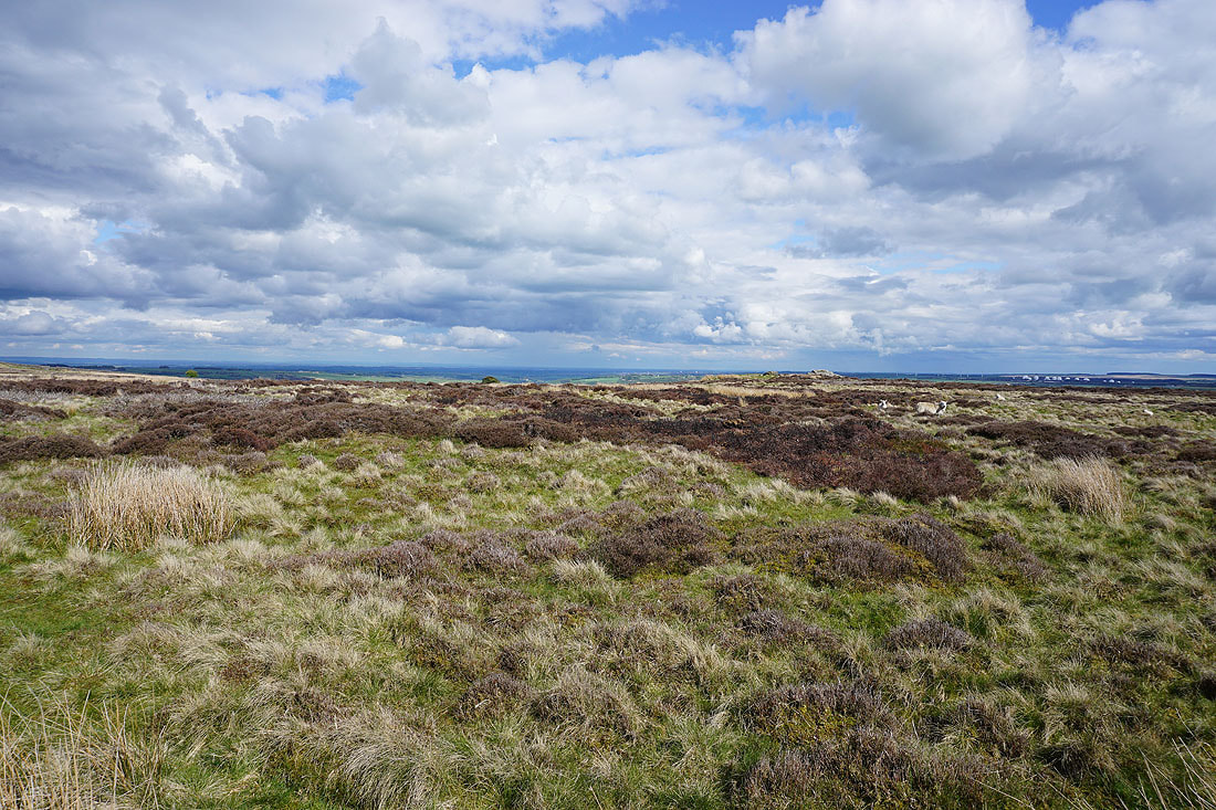
Sunshine brightens up Flat Moor
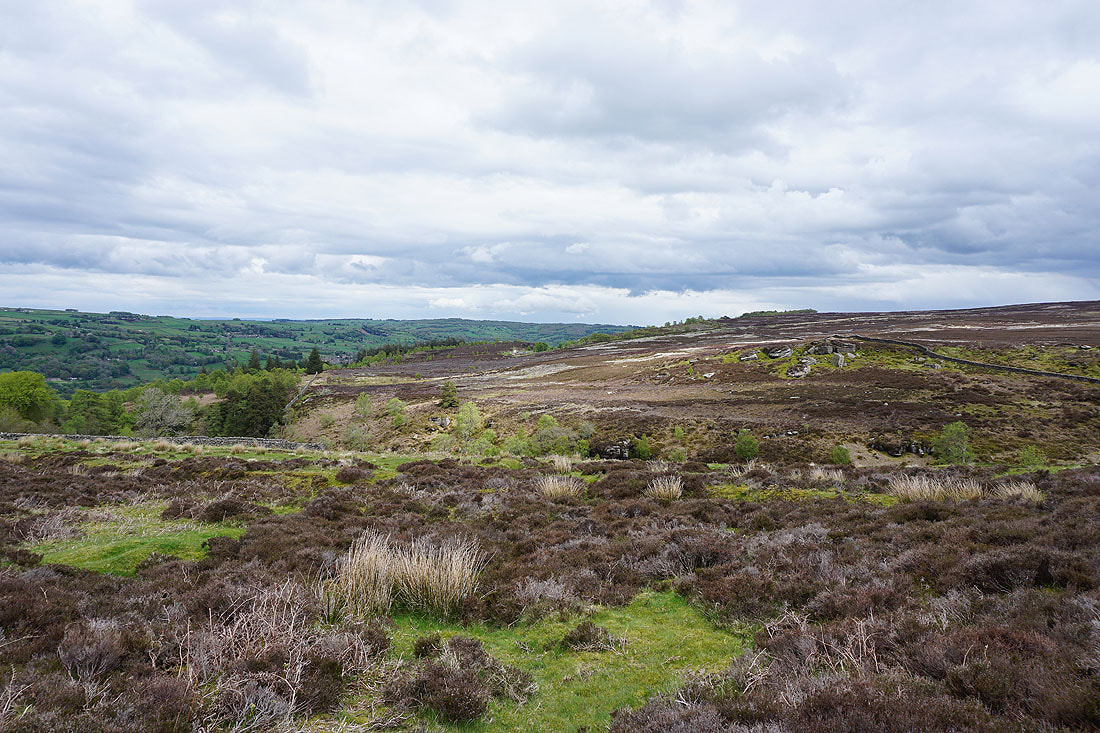
Pock Stones Moor in the distance behind High House Farm
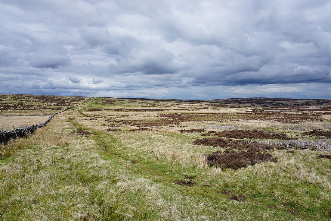
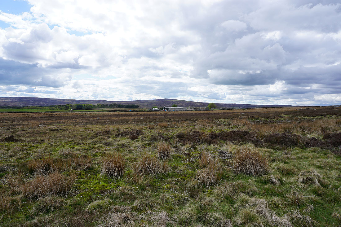
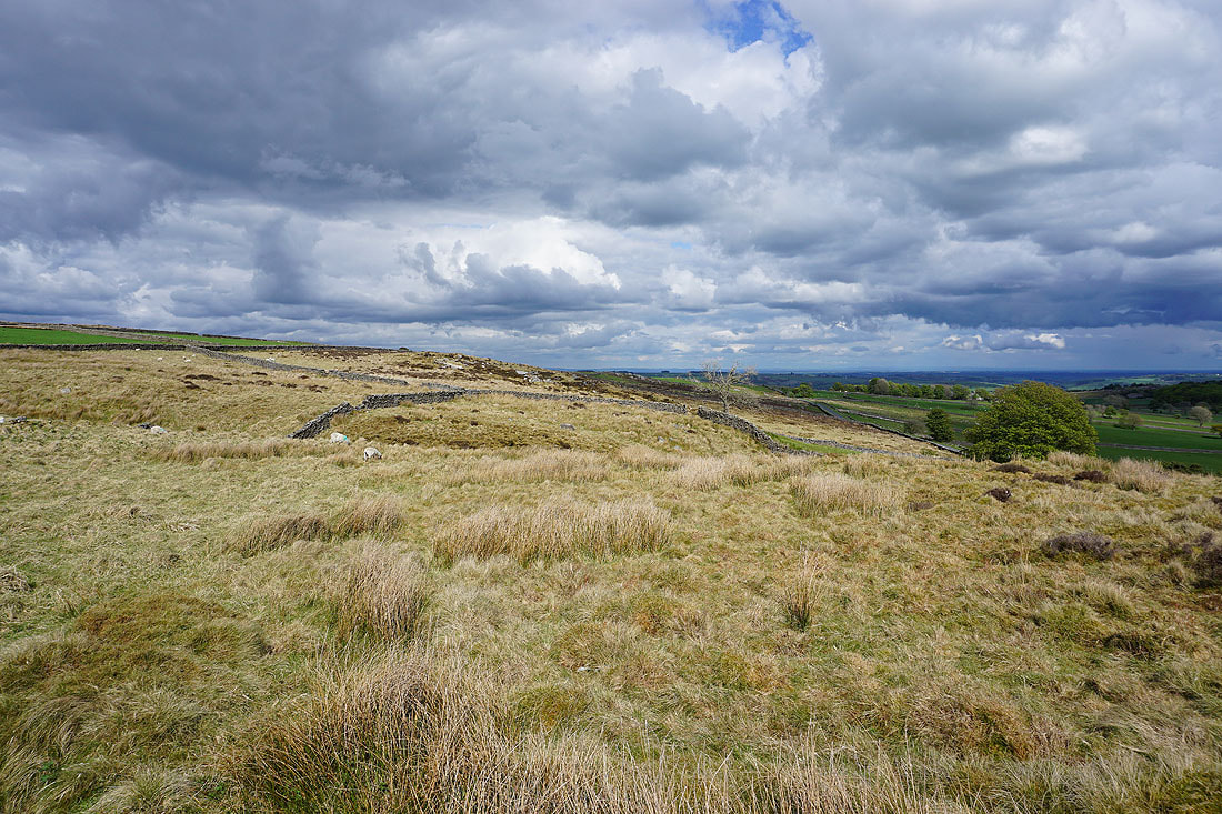
Crossing Braithwaite Moor. Not really any evidence of the public footpath I'm trying to use.
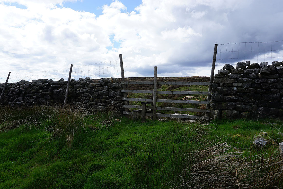
Exiting Braithwaite Moor. The stile reassured me that I was where I was supposed to be.
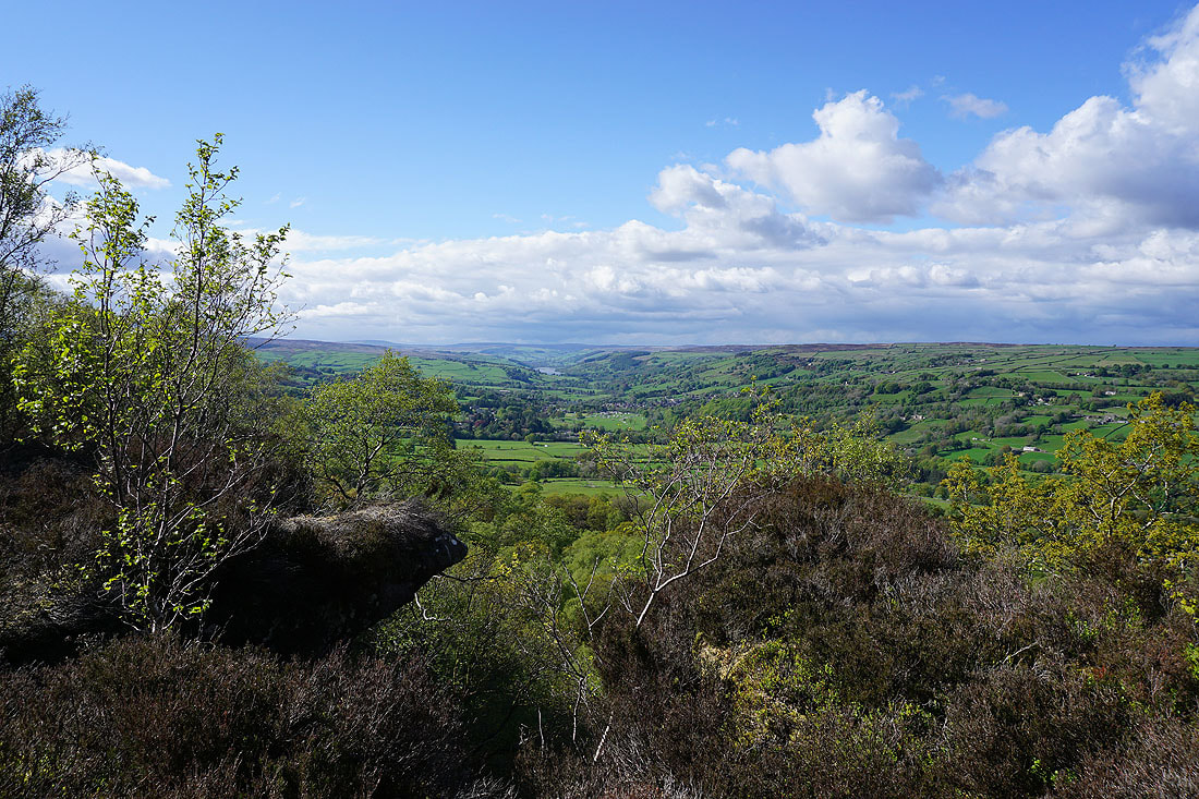
Looking down Nidderdale to Menwith Hill from the path past Deer Ing House Farm to Foldshaw Lane
The moorland of Baal Crags from Foldshaw Lane
Heading up Foldshaw Lane
Looking back down Foldshaw Lane
Colourful moorland from Foldshaw Lane
Pock Stones Moor and Cold Stones in the distance from Nought Moor Road
I leave Nought Bank Road and head for the trig point on High Crag
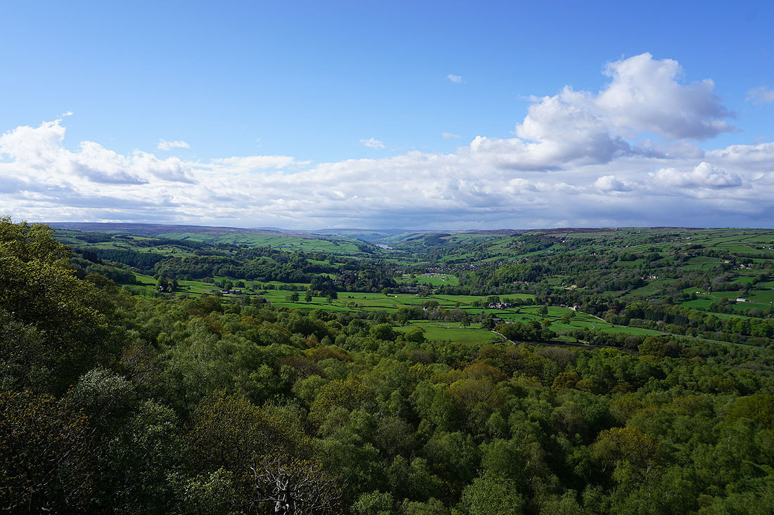
A view down Nidderdale to Summerbridge
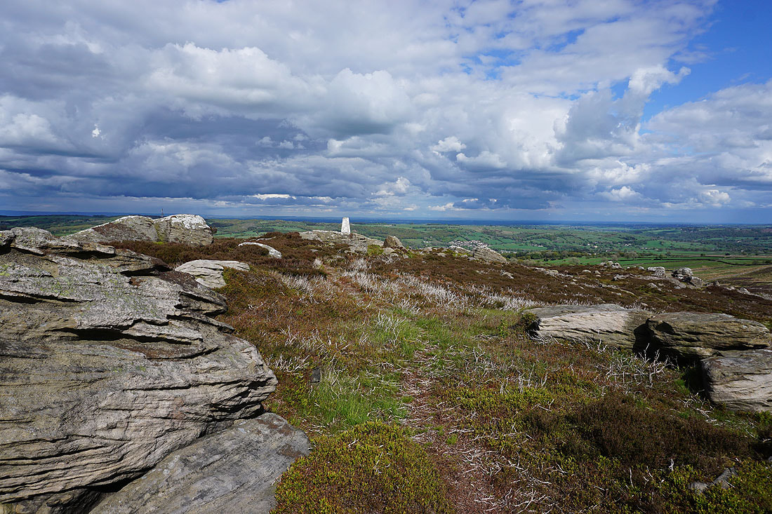
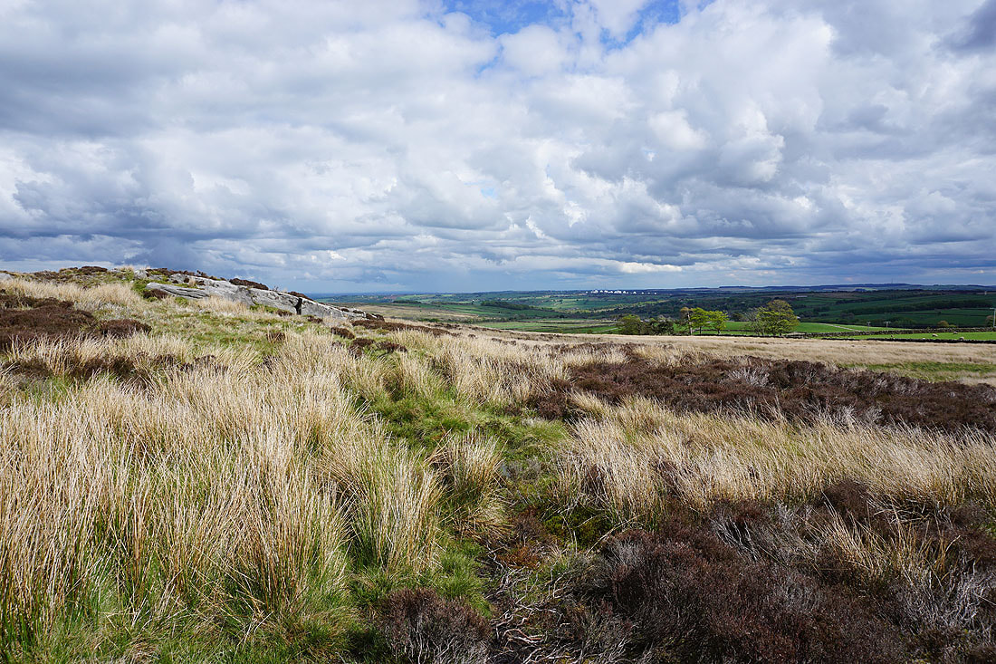
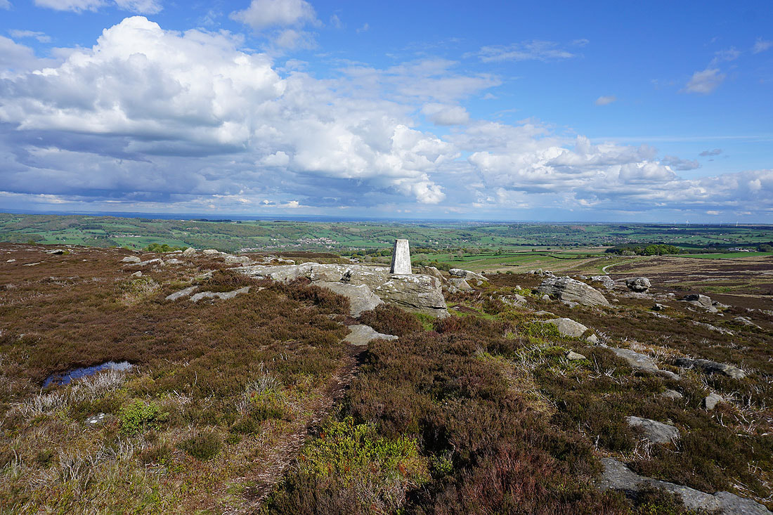
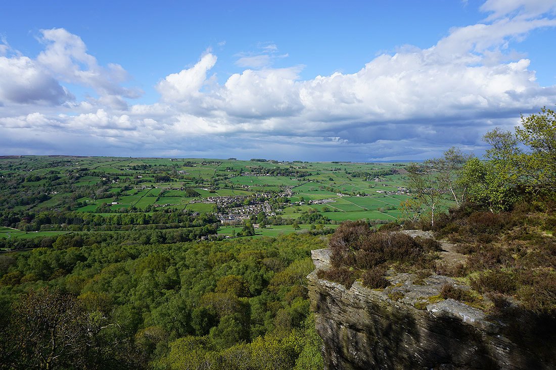
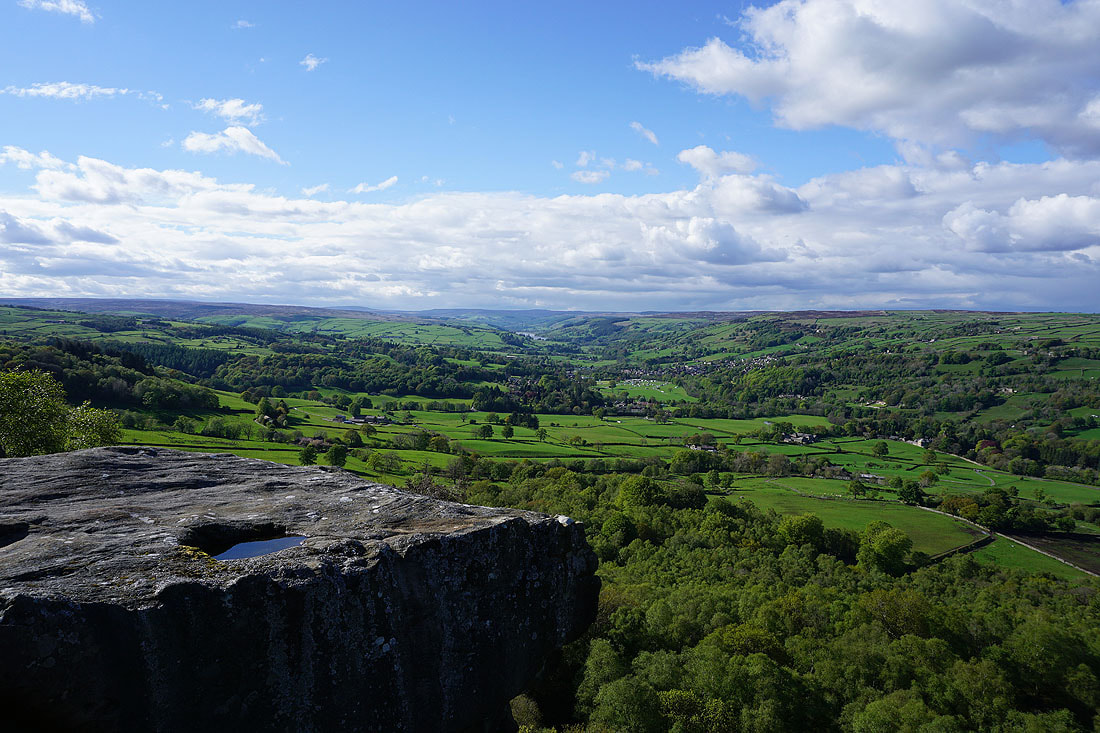
At the trig point on High Crag. There are great views across and down Nidderdale from up here...
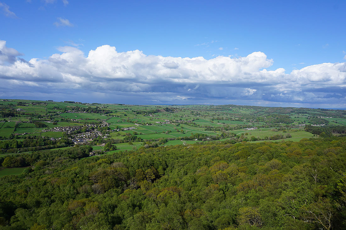
At the eastern end of Guise Cliff. My first chance to take in the view up Nidderdale to Gouthwaite Reservoir and Pateley Bridge..
Looking across Nidderdale to Glasshouses
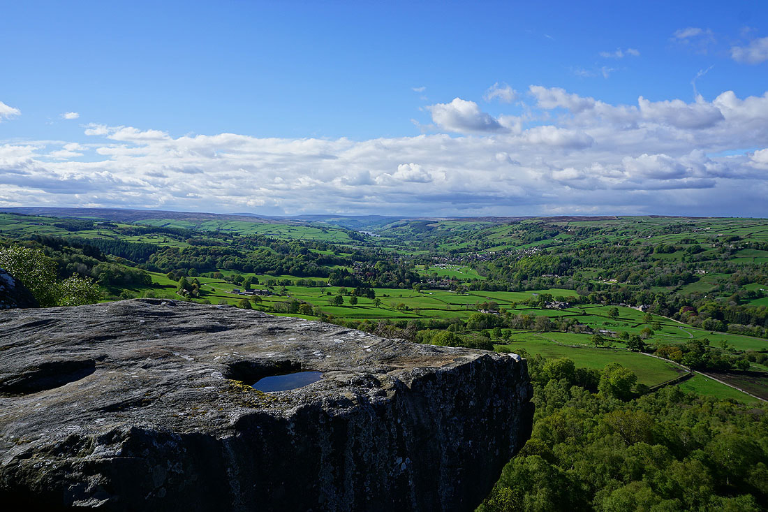
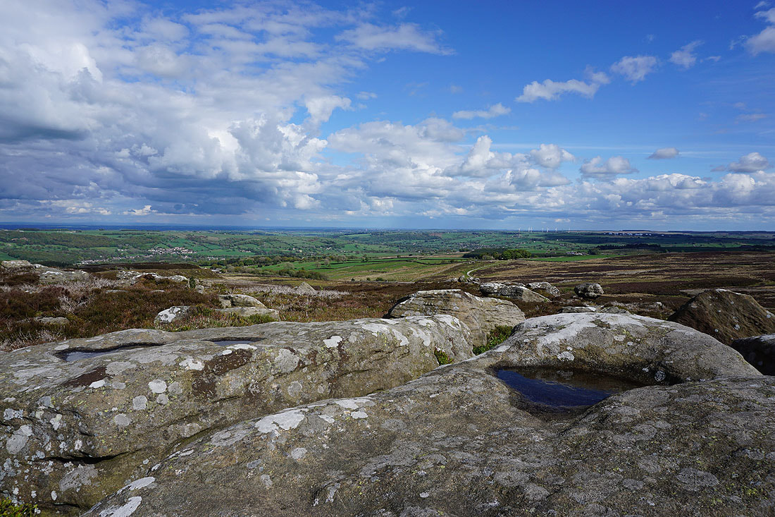
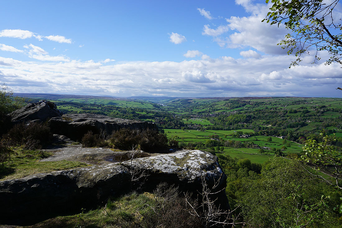
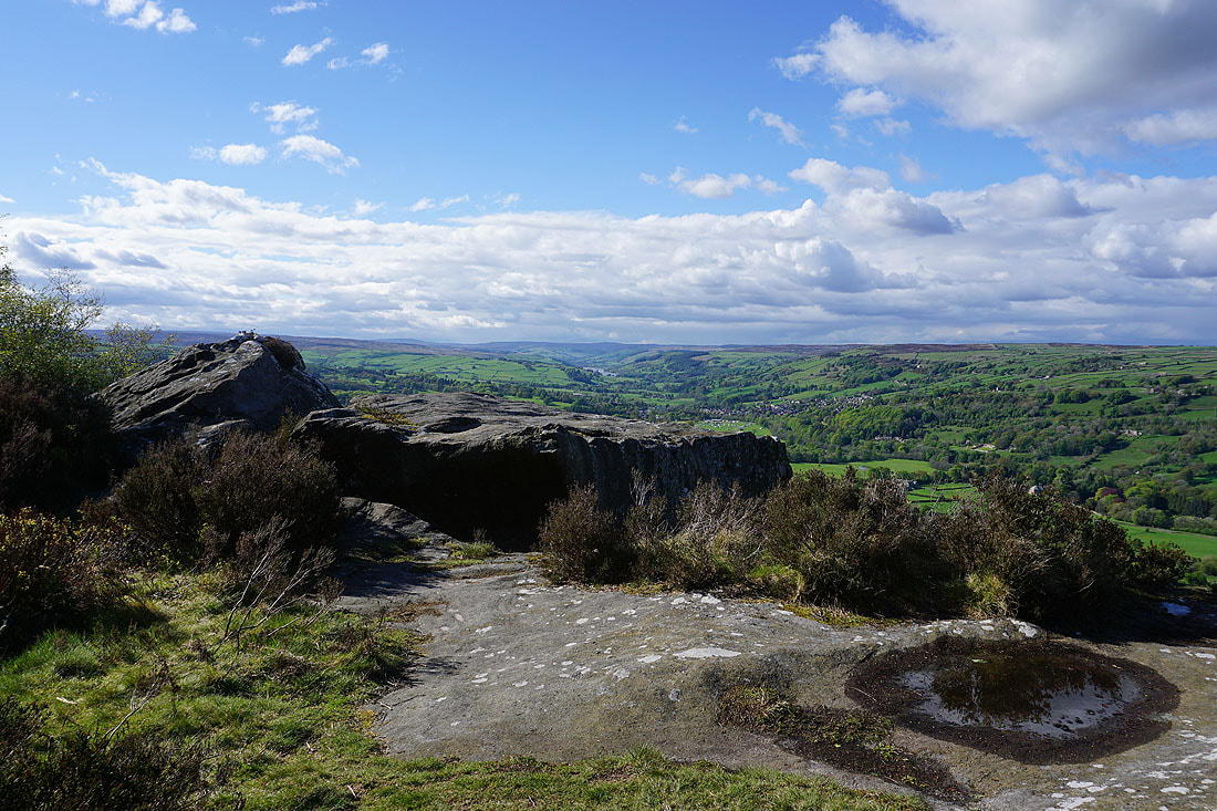
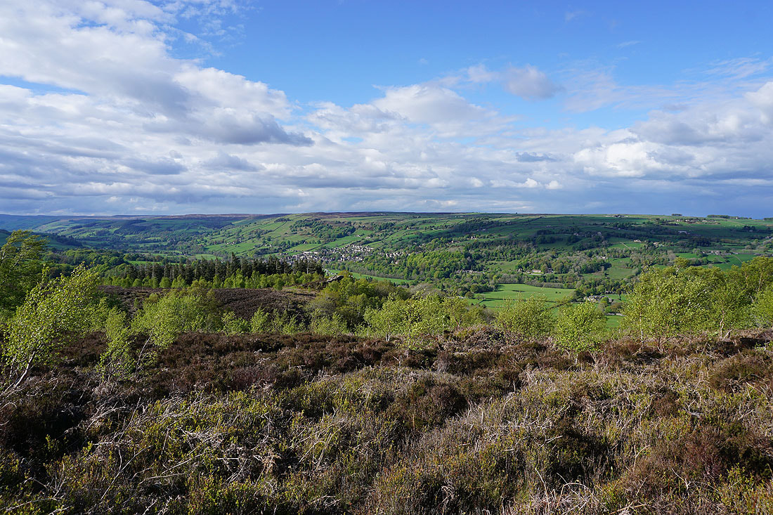
A bit further to the west along Guise Cliff rocky platforms provide a great place to take in the view across Nidderdale. That looking up the dale is especially good.
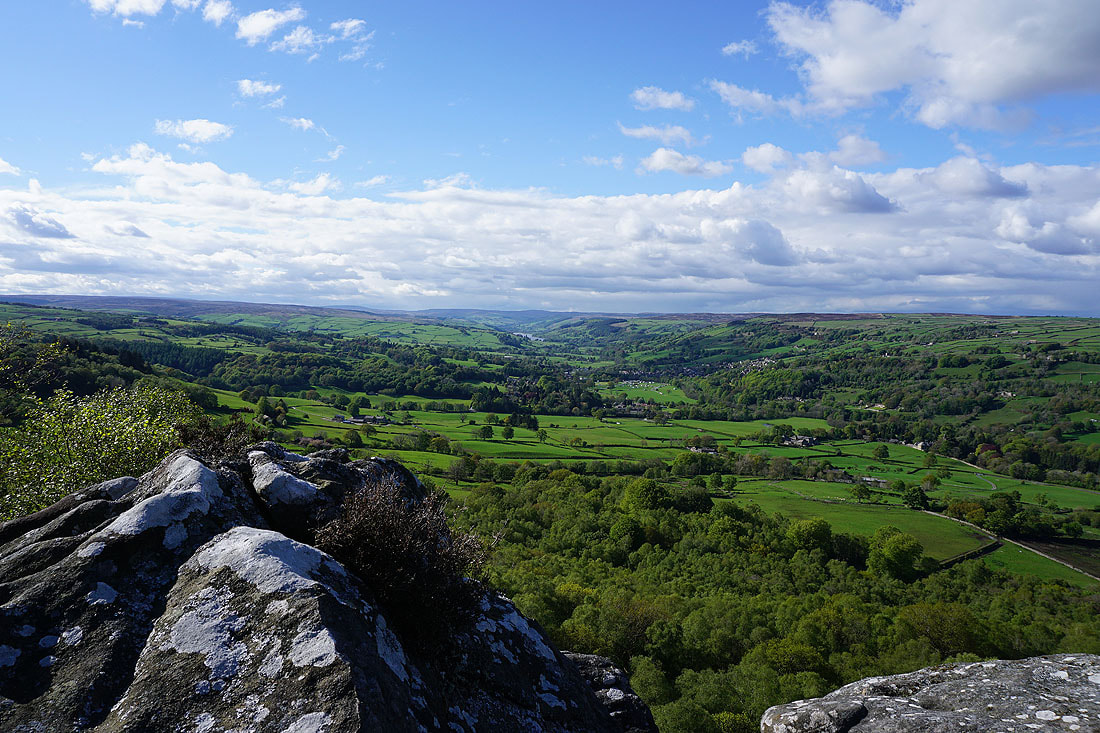
Looking across Nidderdale to Glasshouses and Wilsill, with Brimham Moor in the distance on the right
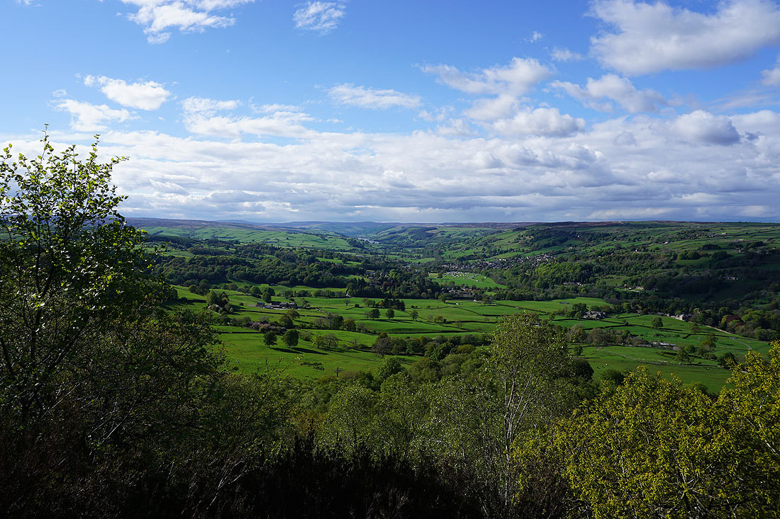
A few more photos of the view up Nidderdale. It's one of my favourites.....
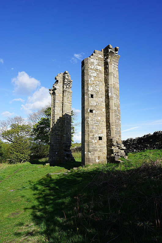
The ruins of Yorke's Folly
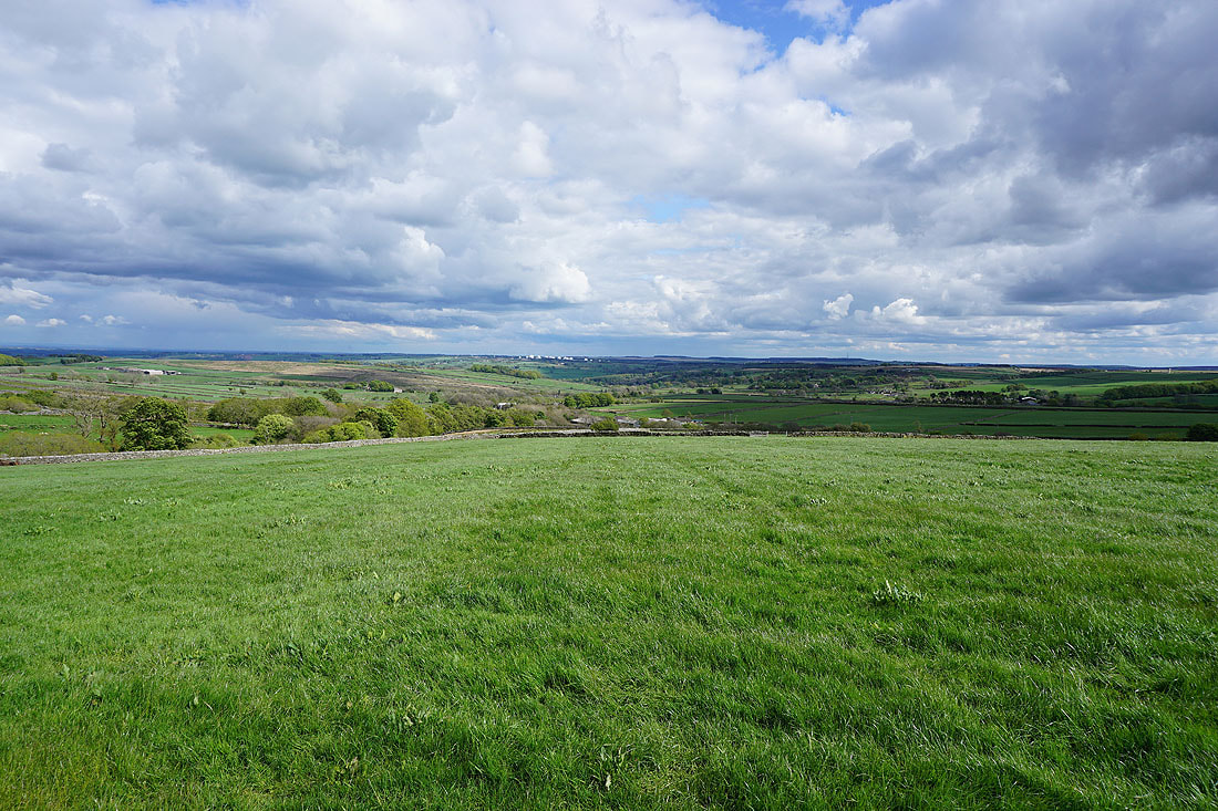
Pateley Bridge from Nought Moor
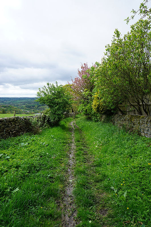
On the Nidderdale Way back to Pateley Bridge
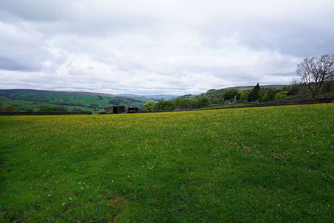
Buttercup filled field from the road to Bewerley
A last shot as I pass through Bewerley