22nd November 2008 - Walla Crag, Bleaberry Fell, High Seat and High Tove
Walk Details
Distance walked: 8.3 miles
Total ascent: 2339 ft
OS map used: OL4 - The English Lakes, North-western area
Time taken: 6 hrs
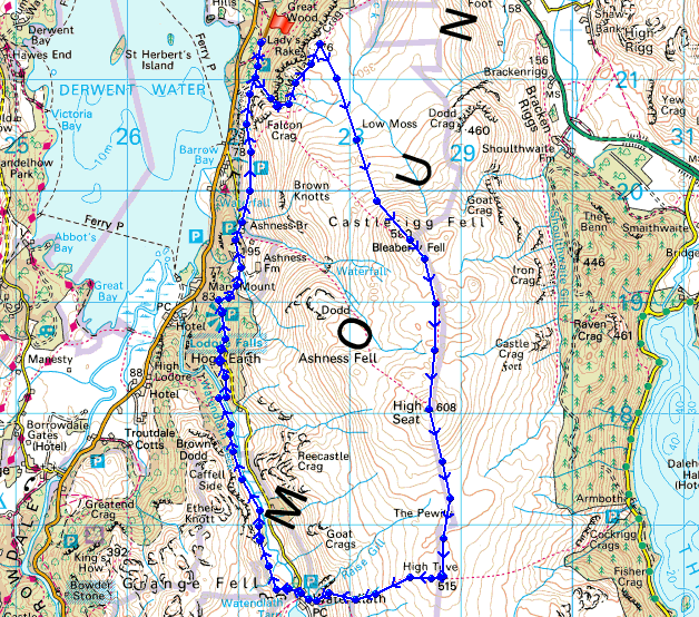
Route description: Great Wood-Cat Gill-Walla Crag-Bleaberry Fell-High Seat-High Tove-Watendlath-Ashness Bridge-Great Wood
A walk across the northern tops of the central ridge with the return by Watendlath and Ashness Bridge. It was a bitterly cold day and the ground being frozen made the going much easier than it could have been.
Route map
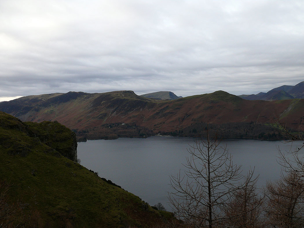
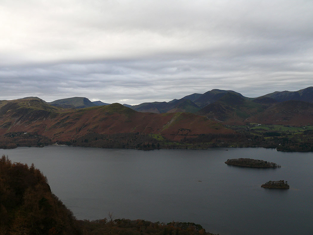
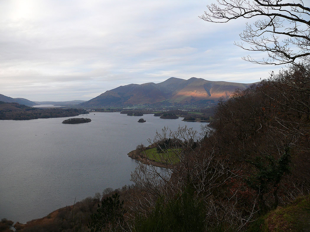
A view across Derwent Water to Maiden Moor and Cat Bells from the path by Cat Gill
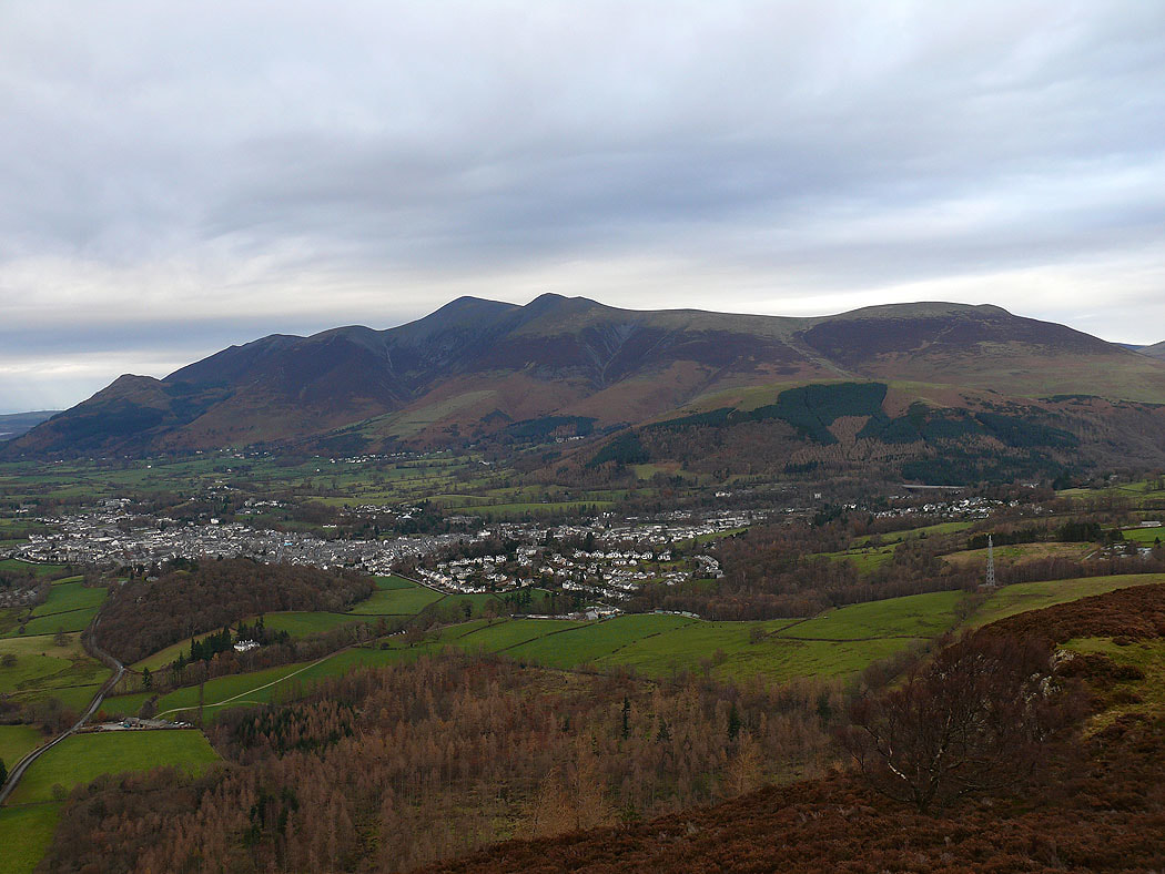
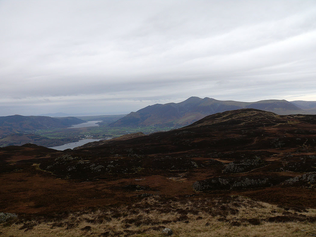
Keswick and Skiddaw from Walla Crag
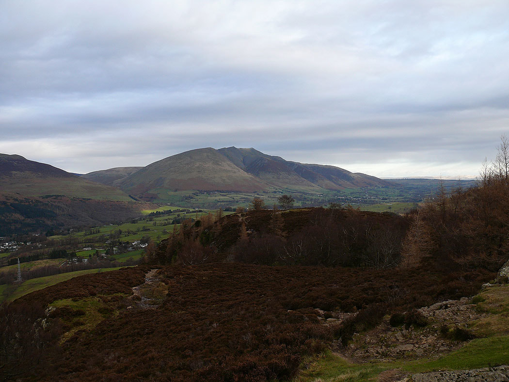
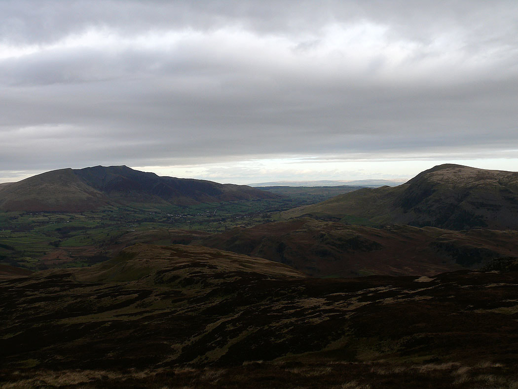
Blencathra
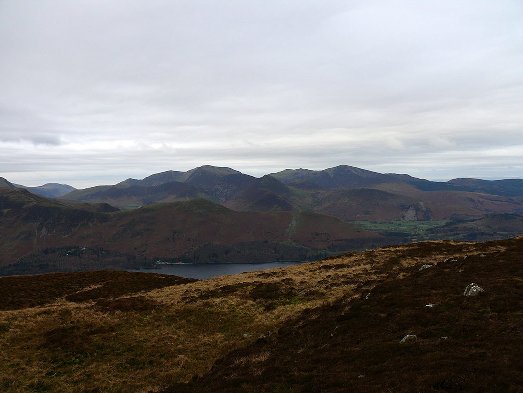
Crag Hill and Grisedale Pike
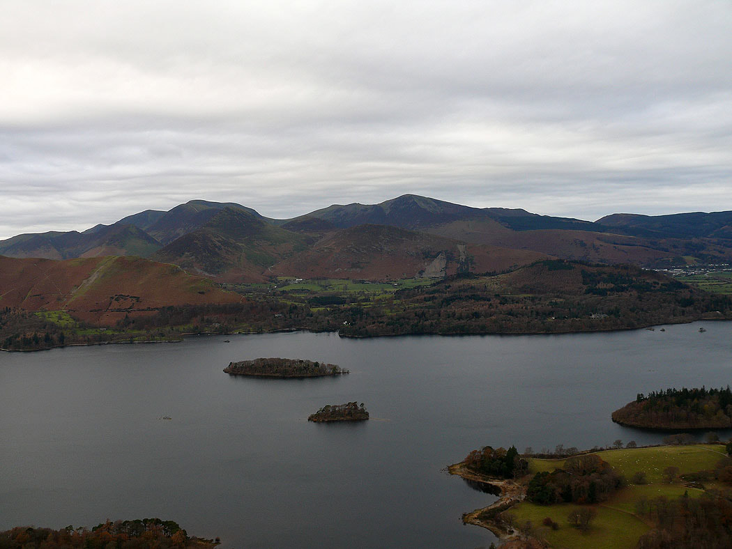
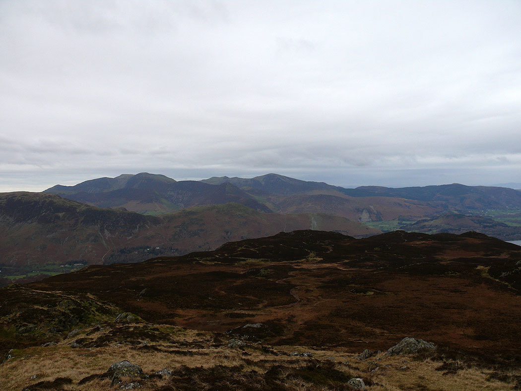
Cat Bells and the fells around the Newlands valley
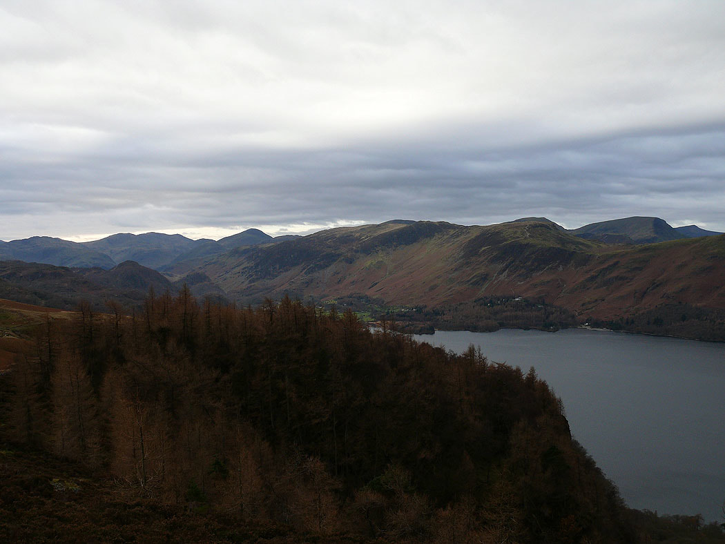
The view up Borrowdale
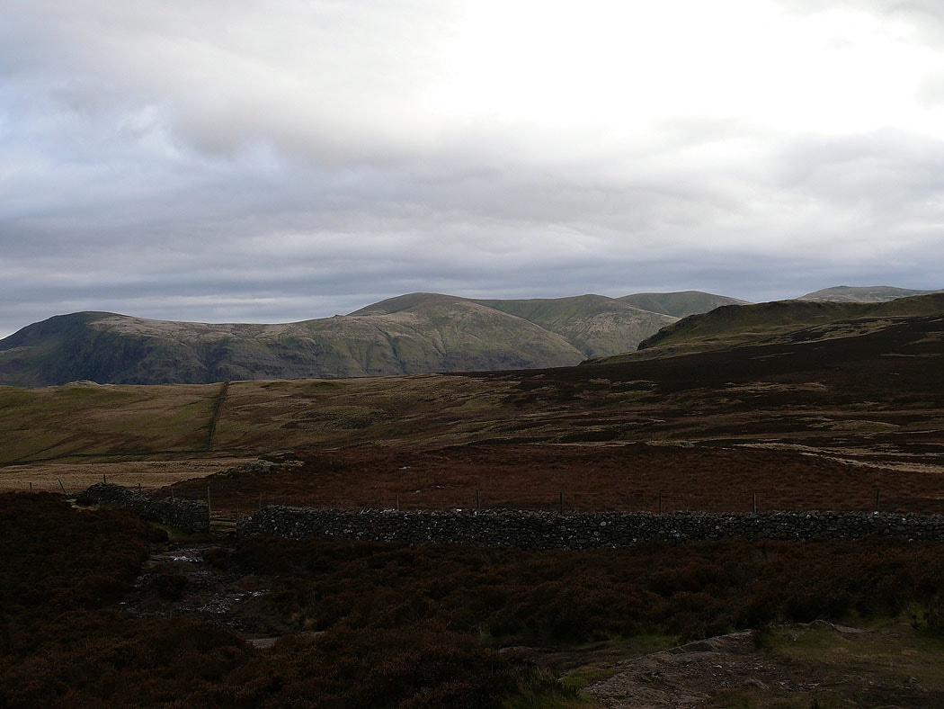
Clough Head and Great Dodd across Low Moss
On the summit of Bleaberry Fell. In the distance, Bowfell, Esk Pike, Scafell Pike and Great Gable.
Blencathra and Clough Head
Crag Hill and Grisedale Pike
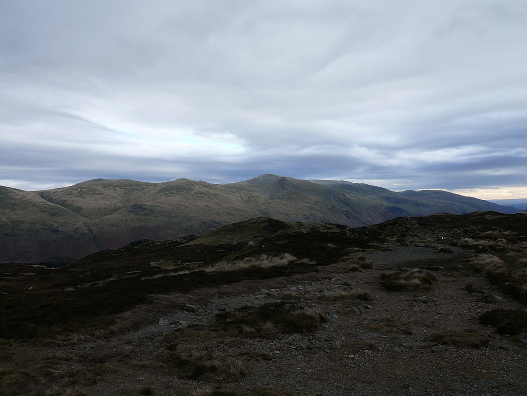
Raise, Whiteside and Helvellyn Lower Man
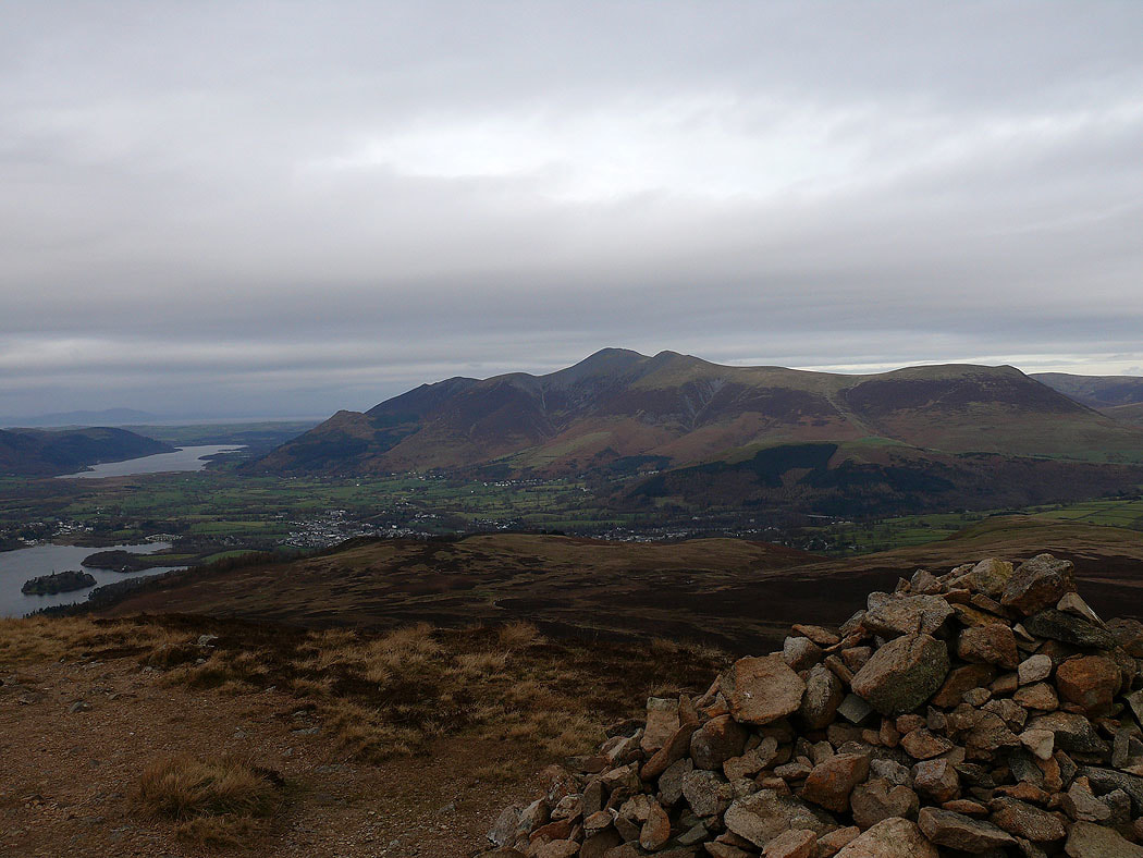
Skiddaw from the summit of Bleaberry Fell
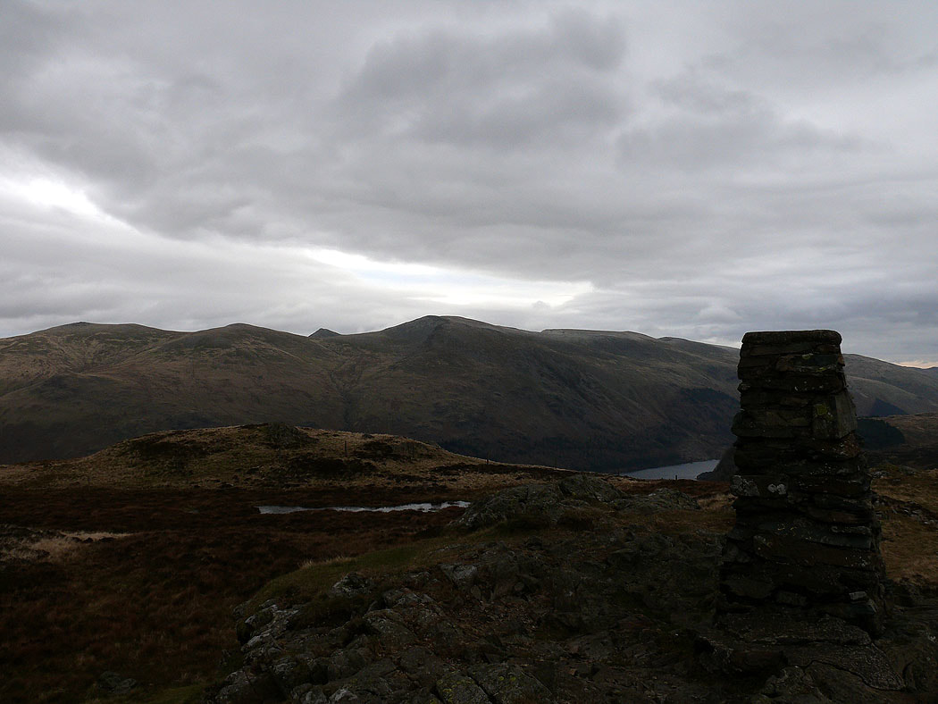
On the summit of High Seat and the view across to Helvellyn
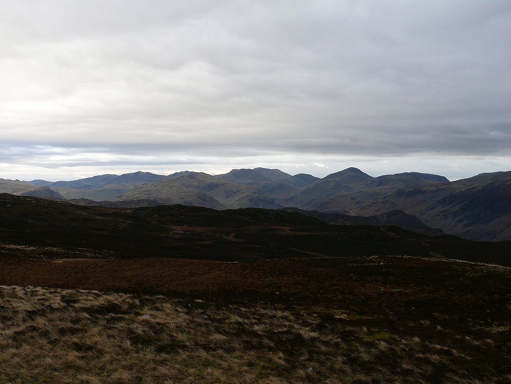
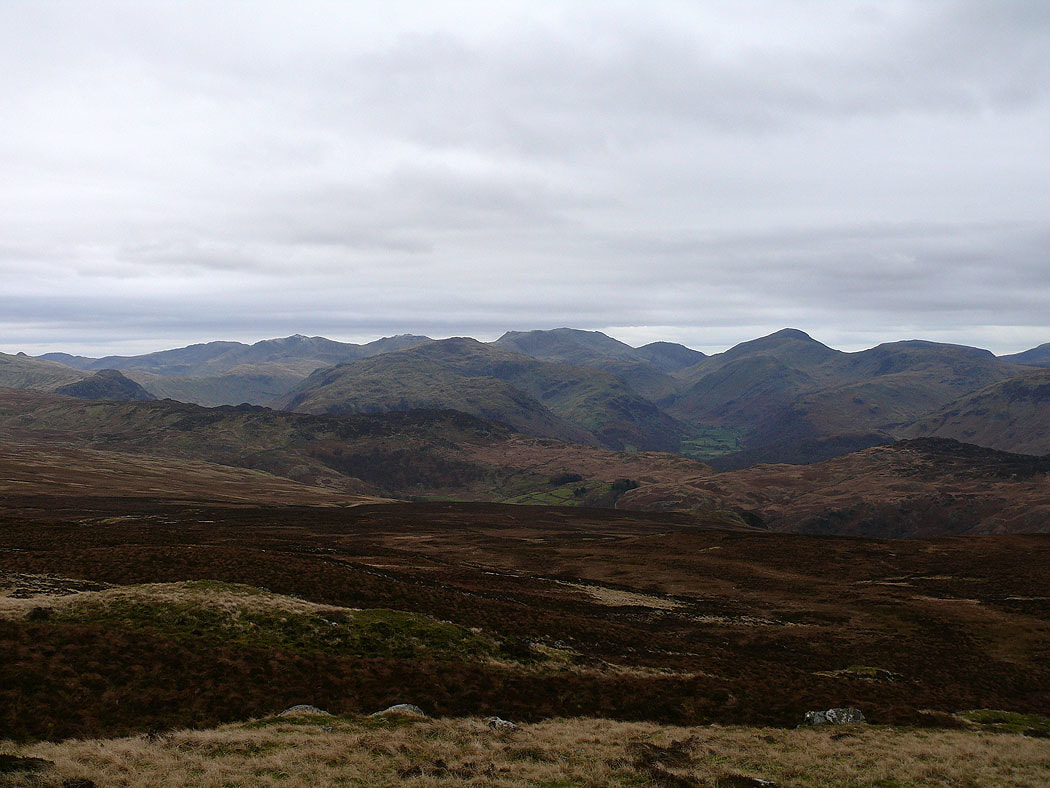
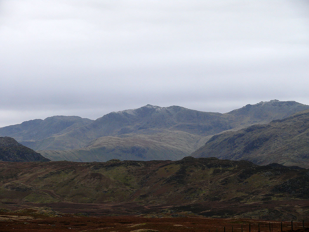
A distant view from High Seat to Crinkle Crags, Bowfell, Esk Pike, Scafell Pike, Lingmell and Great Gable
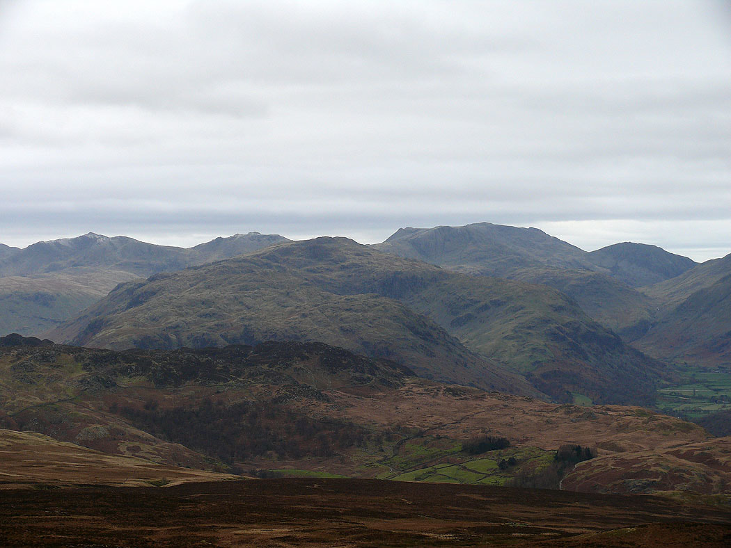
Zooming in on Bowfell, Esk Pike, Scafell Pike and Lingmell
Looking back to Bleaberry Fell with Skiddaw behind
Crag Hill and Grisedale Pike
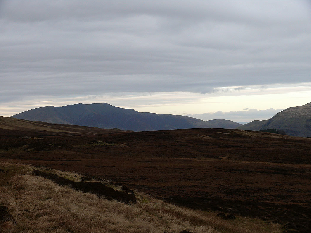
Blencathra from the final top of High Tove
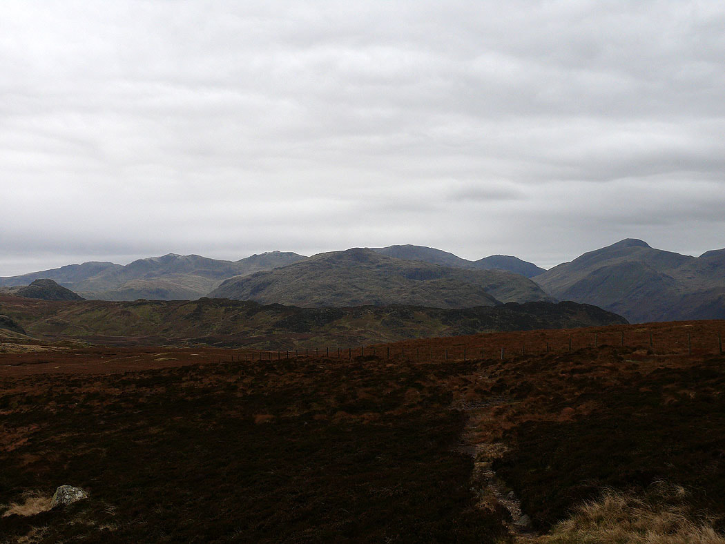
Crinkle Crags, Bowfell, Esk Pike, Scafell Pike, Lingmell and Great Gable
Zooming in on Crinkle Crags, Bowfell and Esk Pike
A "Surprise View"
