22nd November 2015 - Silverdale & Arnside Knott
Walk Details
Distance walked: 10.1 miles
Total ascent: 1502 ft
OS map used: OL7 - The English Lakes, Southeastern area
Time taken: 5.5 hrs
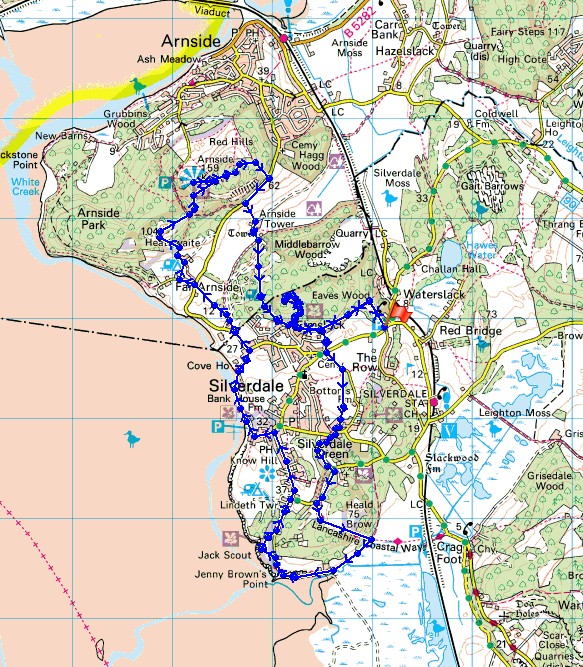
Route description: NT car park, Eaves Wood-The Pepperpot-Silverdale Green-Woodwell Cliff-Hollins Lane-Heald Brow-Lancashire Coastal Way-Brown's Houses-Jenny Brown's Point-Jack Scout-Silverdale-Lancashire Coastal Way-The Cove-Holiday Park-Hollins Farm-Heathwaite-Arnside Knott-Arnside Tower-Middlebarrow Plain-The Pepperpot-NT car park, Eaves Wood
My older brother Stephen was free to join me for my walk today. I had planned on doing a walk in the Howgills but on seeing how things looked before we set off I decided to postpone that one for a better day. The skies were grey, the cloud would probably have been sitting on the tops of the hills and with a strong cold wind it wouldn't have been pleasant. The alternative was to head for the Arnside & Silverdale AONB, an area I've been to just a couple of times. I'm still enjoying getting to know it and hopefully there would be some nice coastal scenery and a good view from Arnside Knott.
From the NT car park at Eaves Wood the first objective was to follow the signs up through Eaves Wood to reach the Pepperpot. We then made our way back down and onto the path to Park Lane, then across the road and along Bottoms Lane. A footpath on the right across fields took us to Stankelt Road in Silverdale Green. Here we turned right then left onto the footpath across Woodwell Cliff to Hollins Lane and after a brief walk down the road onto the footpath signposted Quaker's Stang across Heald Brow. Once down by the coast we followed the Lancashire Coastal Way round past Jenny Brown's Point and into Silverdale with a detour onto Jack Scout for lunch. We kept on this trail as we headed back to the coast to follow the shoreline to The Cove. The trail ends here so we made our way up the lane to reach Cove Road, where after turning left and walking along the road the Holgates Caravan Park is reached. A footpath short cuts through it to meet up with the same road at Hollins Farm in Far Arnside. We then took the path past the farm and up onto Heathwaite and from there up onto the summit of Arnside Knott. After taking in the view it was time to head back. We made our way down to the road that runs along the southern flank of Arnside Knott, onto the path past Arnside Tower Farm and the ruins of Arnside Tower, then the path through the woodland on Middlebarrow Plain to Eaves Wood. After another visit to the Pepperpot the signs were followed back to the car park.
Total ascent: 1502 ft
OS map used: OL7 - The English Lakes, Southeastern area
Time taken: 5.5 hrs
Route description: NT car park, Eaves Wood-The Pepperpot-Silverdale Green-Woodwell Cliff-Hollins Lane-Heald Brow-Lancashire Coastal Way-Brown's Houses-Jenny Brown's Point-Jack Scout-Silverdale-Lancashire Coastal Way-The Cove-Holiday Park-Hollins Farm-Heathwaite-Arnside Knott-Arnside Tower-Middlebarrow Plain-The Pepperpot-NT car park, Eaves Wood
My older brother Stephen was free to join me for my walk today. I had planned on doing a walk in the Howgills but on seeing how things looked before we set off I decided to postpone that one for a better day. The skies were grey, the cloud would probably have been sitting on the tops of the hills and with a strong cold wind it wouldn't have been pleasant. The alternative was to head for the Arnside & Silverdale AONB, an area I've been to just a couple of times. I'm still enjoying getting to know it and hopefully there would be some nice coastal scenery and a good view from Arnside Knott.
From the NT car park at Eaves Wood the first objective was to follow the signs up through Eaves Wood to reach the Pepperpot. We then made our way back down and onto the path to Park Lane, then across the road and along Bottoms Lane. A footpath on the right across fields took us to Stankelt Road in Silverdale Green. Here we turned right then left onto the footpath across Woodwell Cliff to Hollins Lane and after a brief walk down the road onto the footpath signposted Quaker's Stang across Heald Brow. Once down by the coast we followed the Lancashire Coastal Way round past Jenny Brown's Point and into Silverdale with a detour onto Jack Scout for lunch. We kept on this trail as we headed back to the coast to follow the shoreline to The Cove. The trail ends here so we made our way up the lane to reach Cove Road, where after turning left and walking along the road the Holgates Caravan Park is reached. A footpath short cuts through it to meet up with the same road at Hollins Farm in Far Arnside. We then took the path past the farm and up onto Heathwaite and from there up onto the summit of Arnside Knott. After taking in the view it was time to head back. We made our way down to the road that runs along the southern flank of Arnside Knott, onto the path past Arnside Tower Farm and the ruins of Arnside Tower, then the path through the woodland on Middlebarrow Plain to Eaves Wood. After another visit to the Pepperpot the signs were followed back to the car park.
Route map
© Crown copyright. All rights reserved. License number PU 100034184.
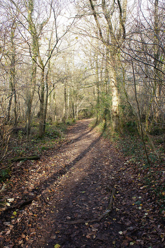
Heading into Eaves Wood at the start of the walk
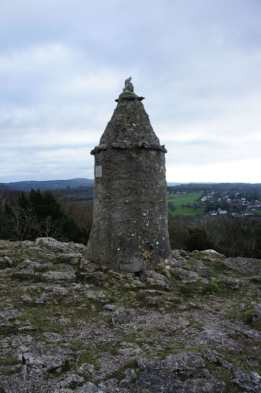
and some time later, at the Pepperpot at the top of Eaves Wood. A memorial to Queen Victoria's golden jubilee.
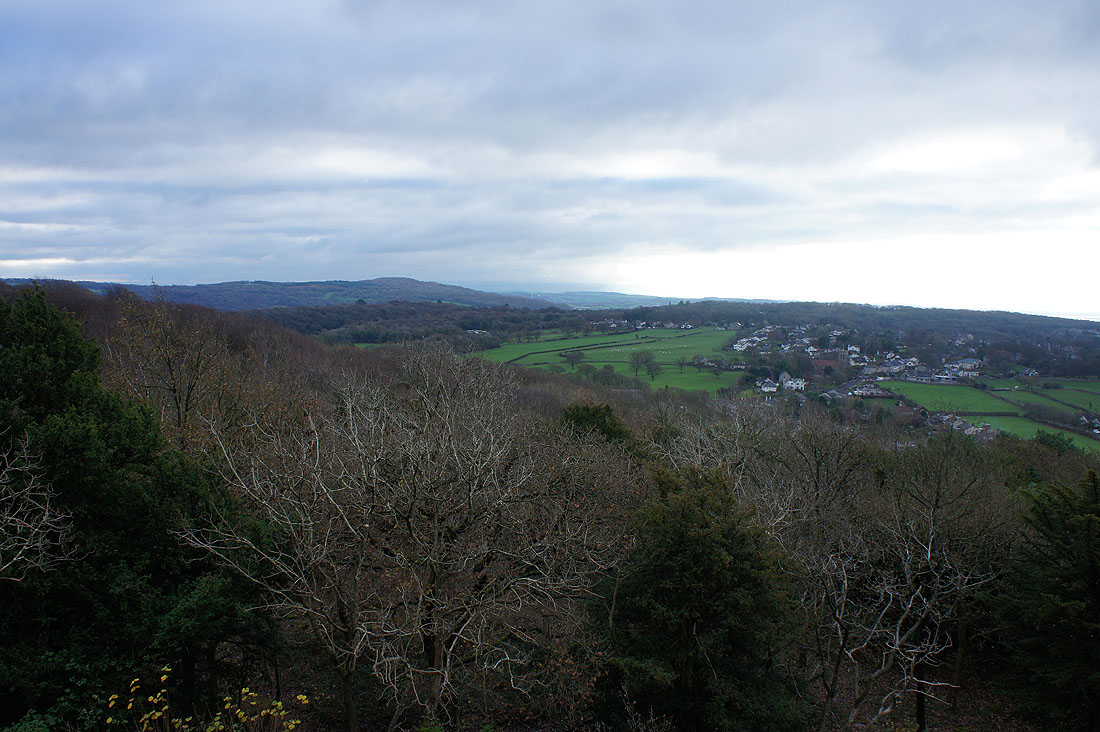
Looking across Silverdale to Warton Crag
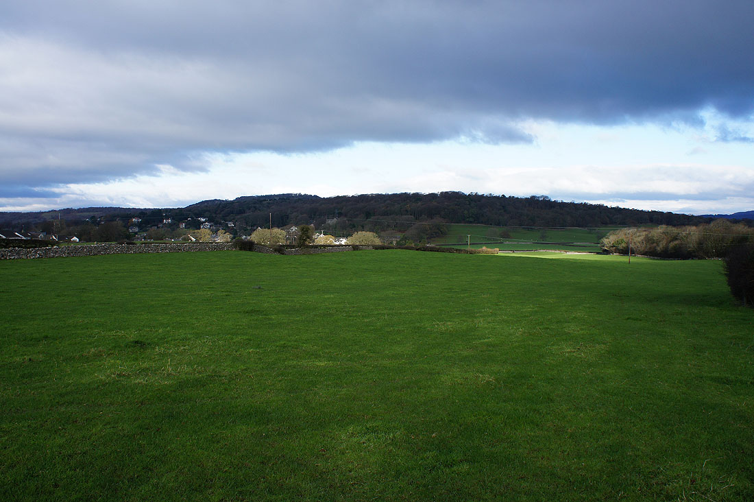
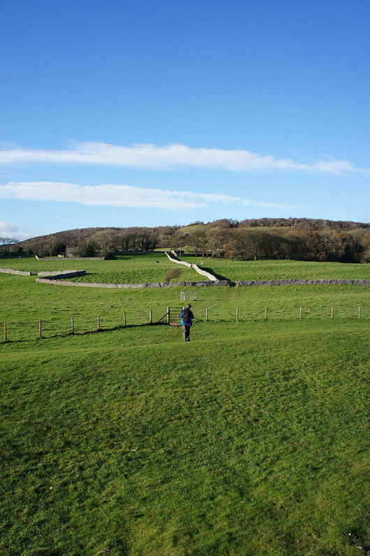
and looking back to Eaves Wood as we head to Silverdale Green
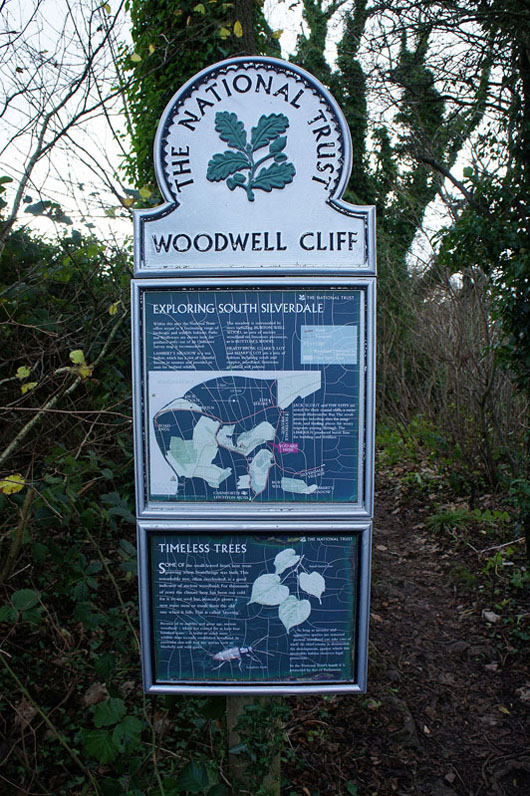
There's quite a bit of National Trust land in this area with a range of landscape and wildlife habitats
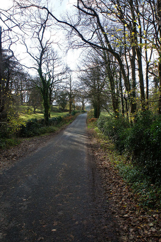
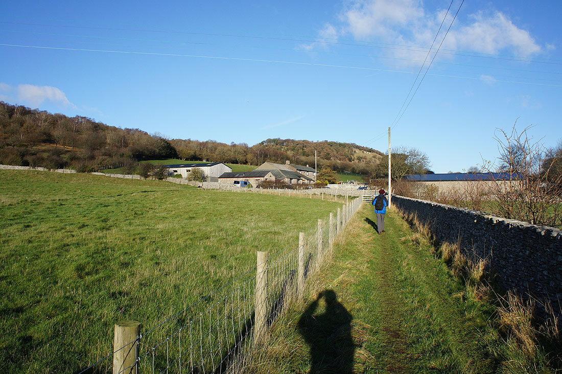
Having crossed Woodwell Cliff, on Hollins Lane..
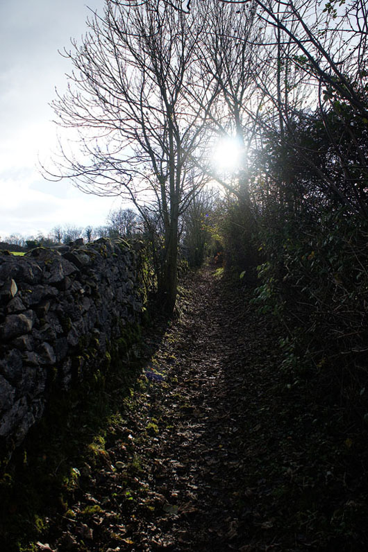
..and onto the bridleway across Heald Brow..
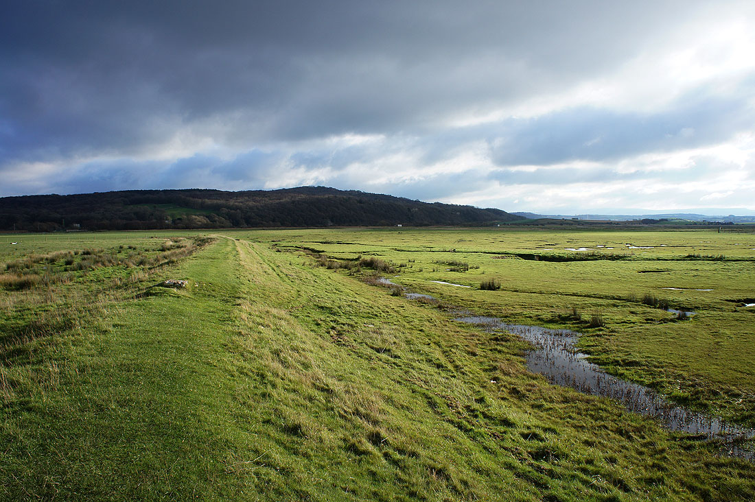
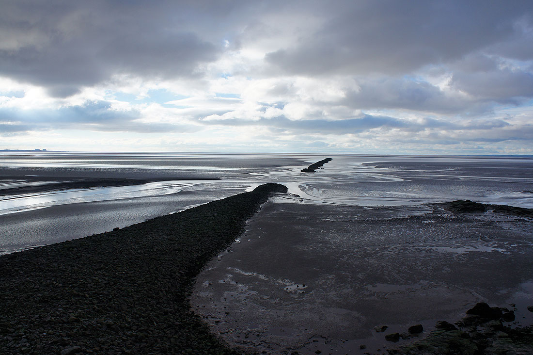
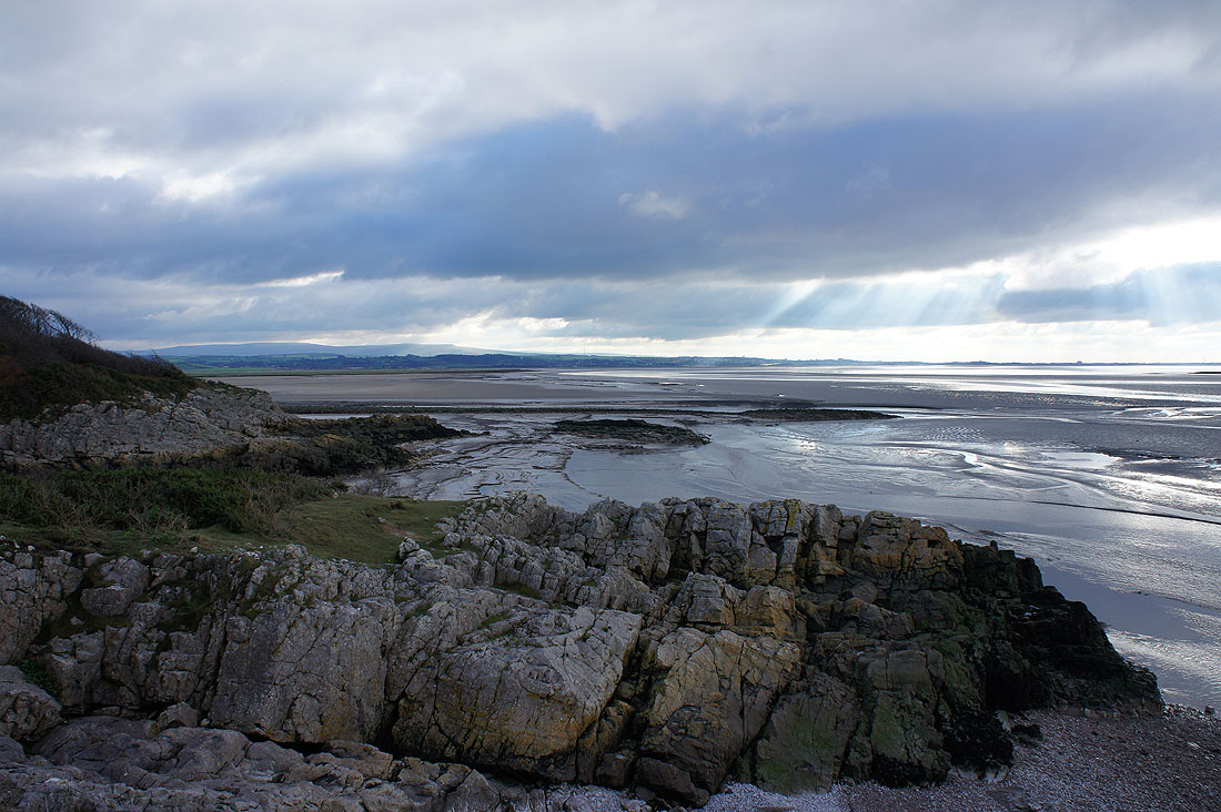
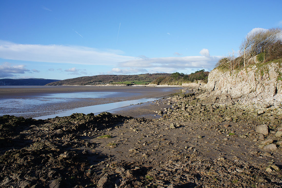
..and down to the coast, with a view across the embankment to Warton Crag
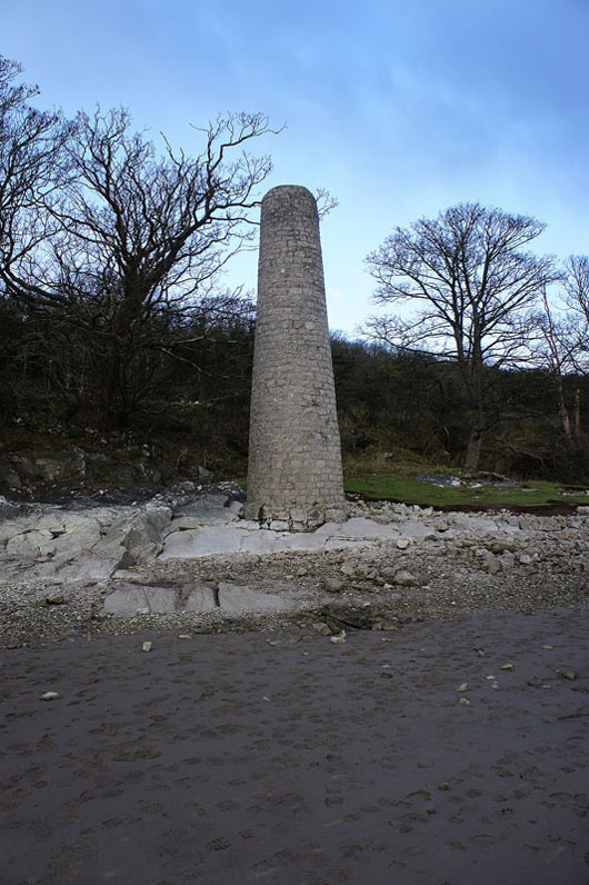
The chimney is all that remains of the copper smelting works at Brown's Houses..
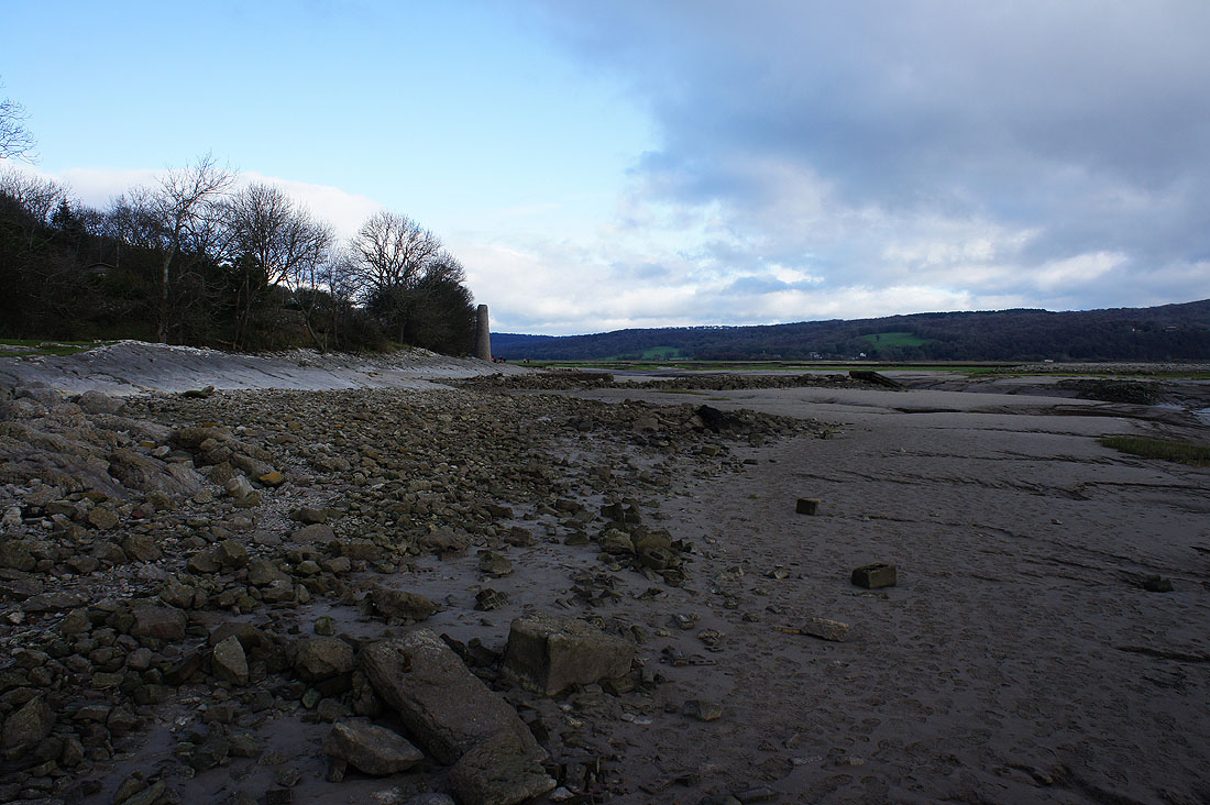
..along with the jetty that ships would moor up against
At Jenny Brown's Point
Lunchtime on Jack Scout. Looking south down the coast towards Morecambe and the Forest of Bowland.
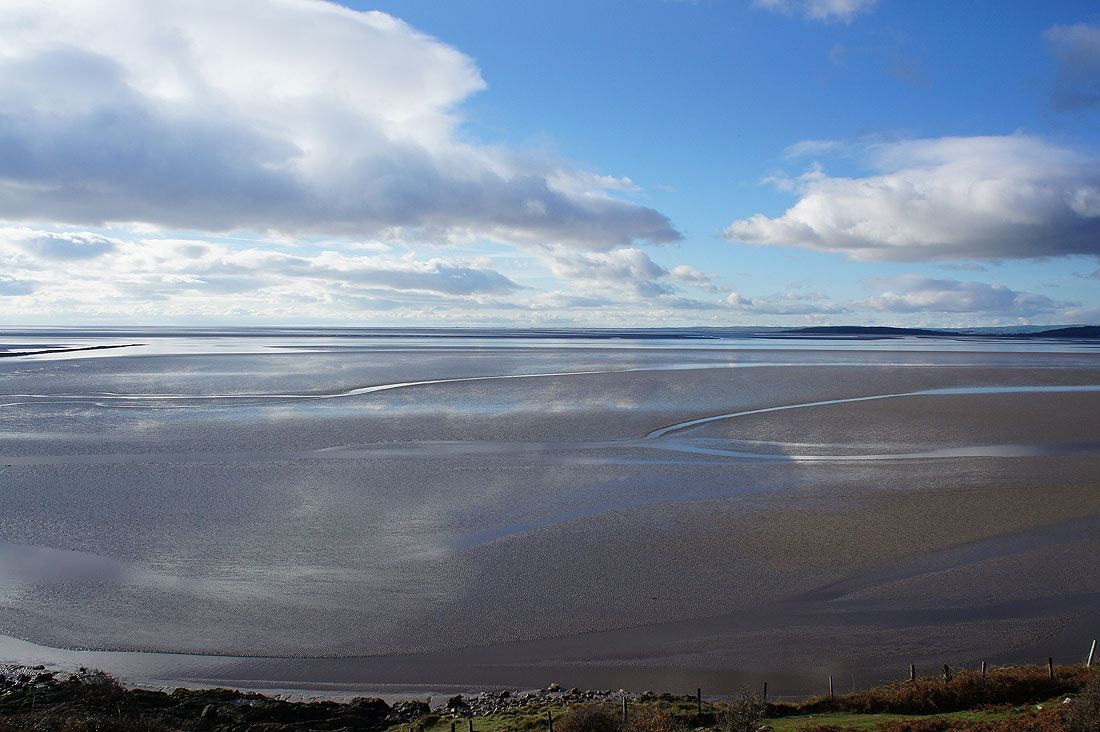
I really like the sight of sky reflected in the sand and water
Grange-over-Sands to the northwest on the other side of Morecambe Bay
Having walked from Jack Scout into Silverdale, onto the Lancashire Coastal Way, which will take us..
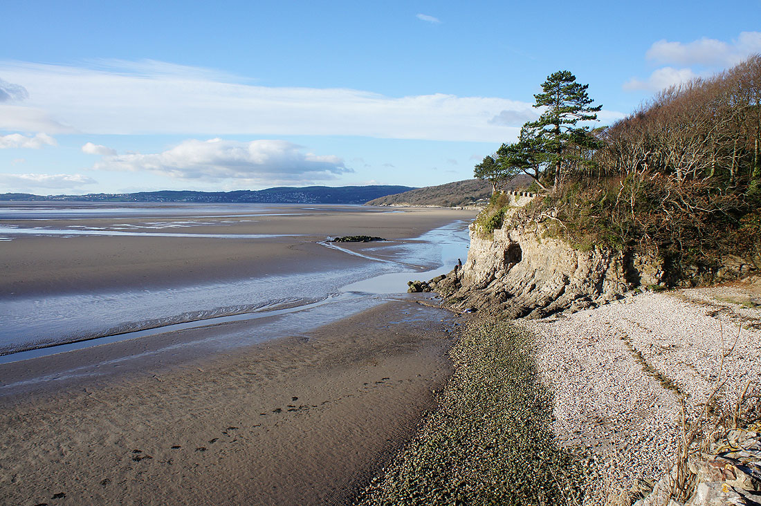
..to The Cove
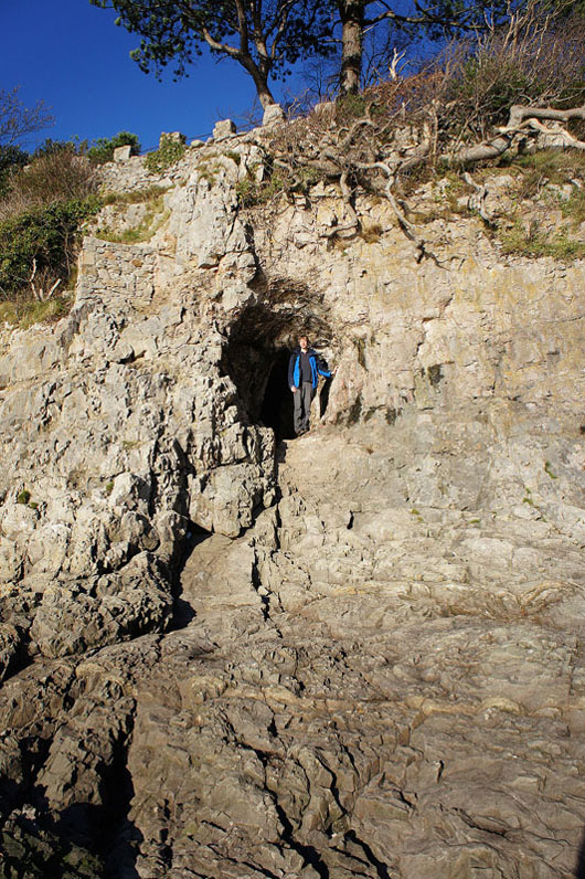
My brother trying the cave out for size
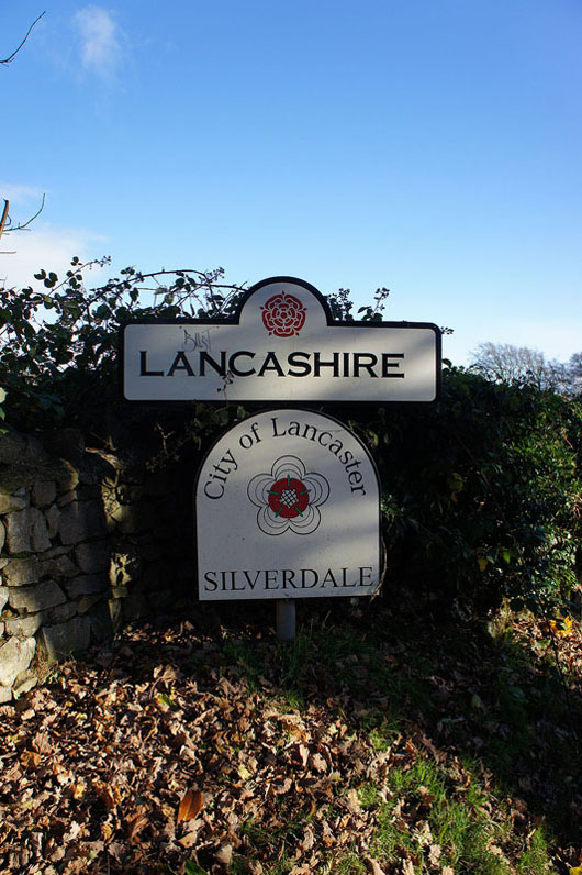
It seems to be a bit of a random place for a county boundary as we leave Lancashire and head into Cumbria to visit Arnside Knott
Crossing fields from the holiday centre to Hollins Farm
and through Hollins Farm to Heathwaite
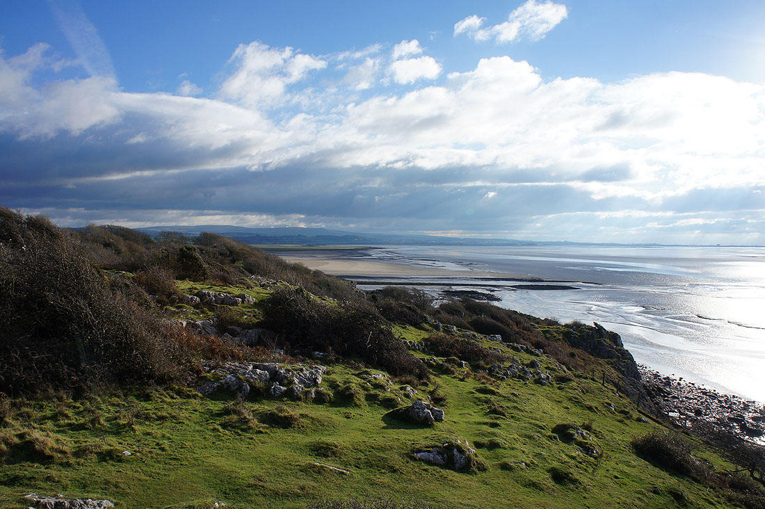
A fantastic view opens up as we climb Heathwaite, with Silverdale below and Ward's Stone and Clougha Pike in the Forest of Bowland in the distance
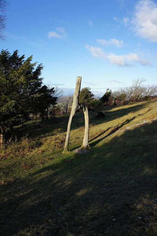
Passing the knotted trees
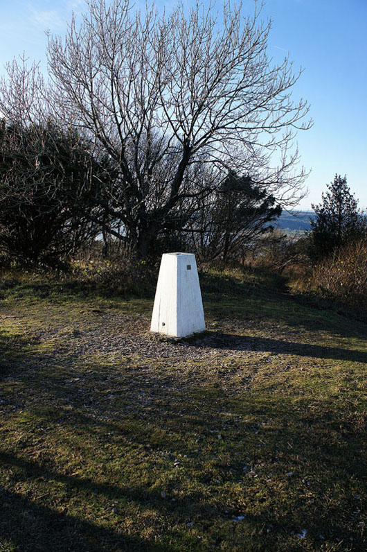
to arrive at the trig point on Arnside Knott. The view from here isn't up to much as it mostly surrounded by trees.
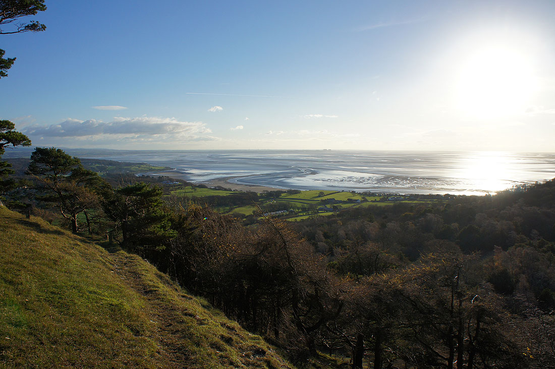
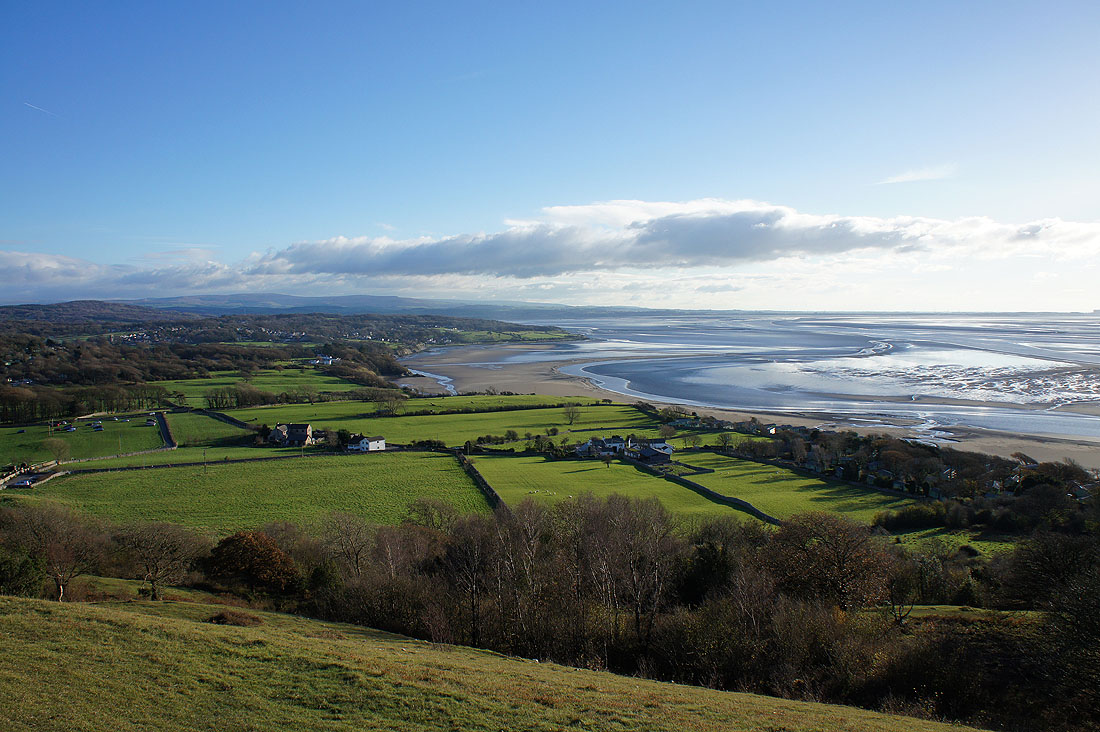
For the best views you need to go to the western and northern sides of the hill. Looking down the coast to Heysham.
The peninsula of Humphrey Head on the other side of the Kent estuary and beyond that the Furness peninsula
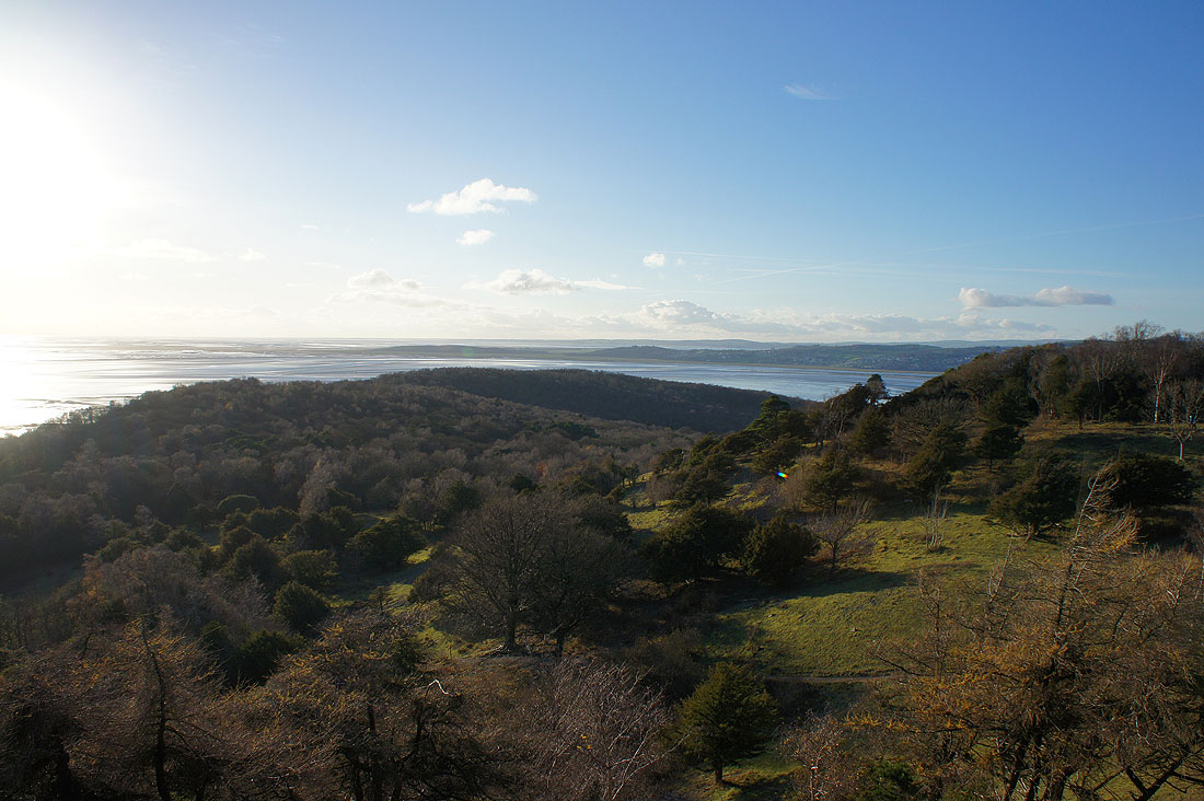
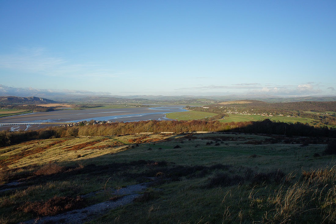
I did take photos from the toposcope but I actually liked these ones better, taken a bit to the east of it. Hampsfell above Grange-over-Sands on the left on the other side of the Kent estuary, with the Coniston fells in the distance on the right.
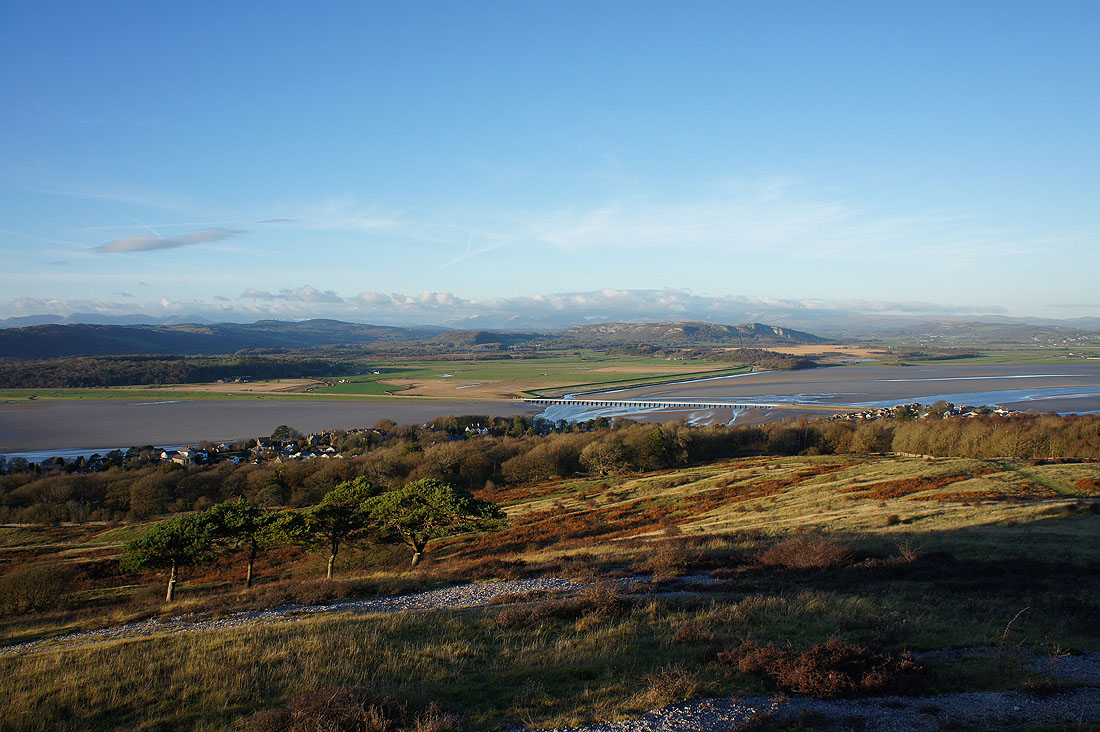
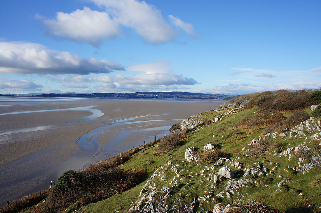
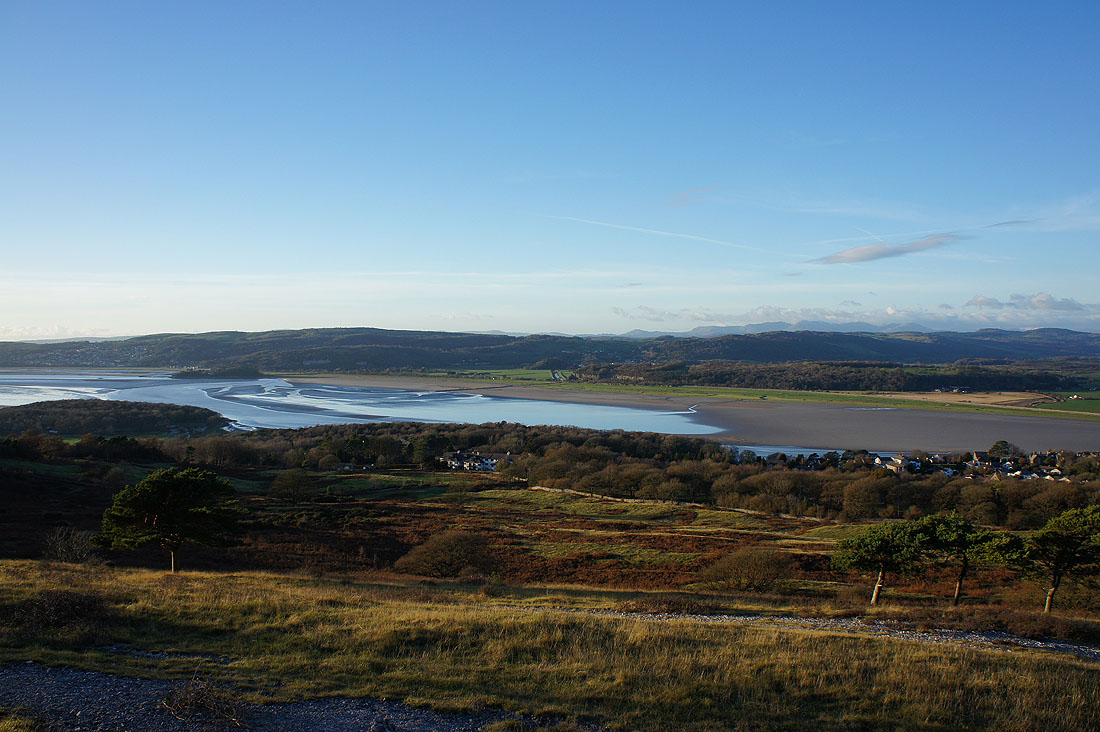
The village of Arnside and the Kent Viaduct below, the limestone hill of Whitbarrow Scar mid-distance and the Fairfield and High Street groups of fells in the distance
Looking up the River Kent with the Whinfell ridge, the Shap fells and the Howgills in the distance
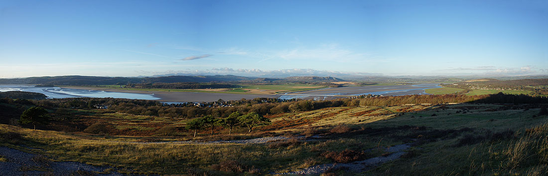
The last three photos as a panorama
At Arnside Tower with Holmepark Fell in the distance
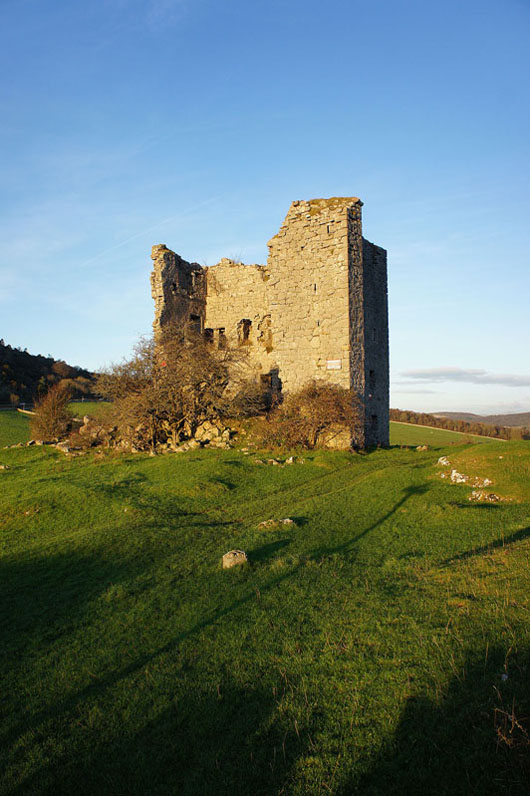
The ruins of Arnside Tower
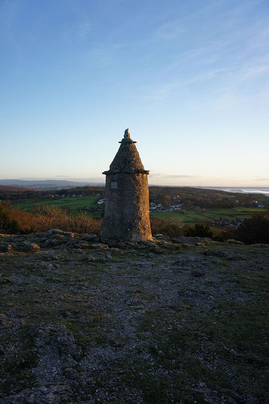
Back at the Pepperpot for the sunset
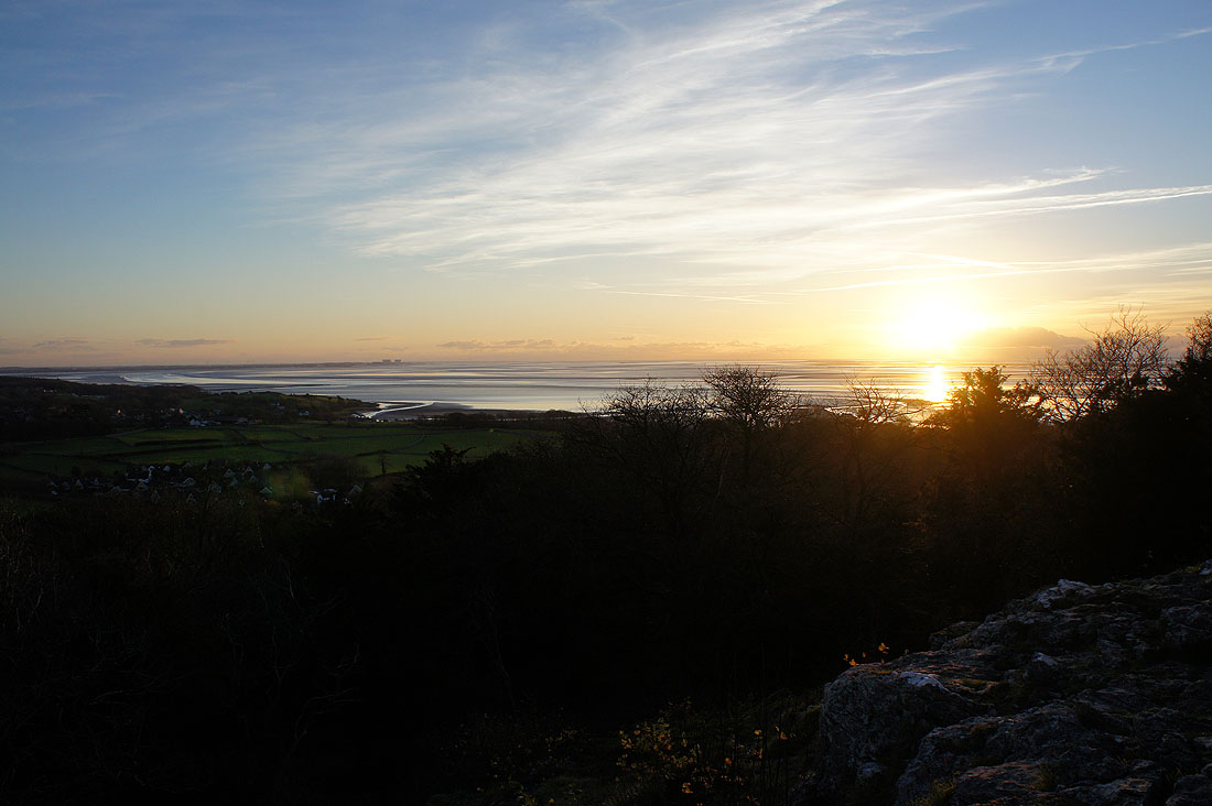
Which wasn't as good as I was hoping for because of cloud out in the Irish Sea