22nd November 2020 - Weets Hill and Wheathead Height
Walk Details
Distance walked: 9.5 miles
Total ascent: 1687 ft
OS map used: OL21 - South Pennines
Time taken: 6 hrs
Route description: Blacko Bar Road-Pendle Way-Water Meetings-Blacko-Burnt House Farm-Barnoldswick Road-Hollin Hall-Blacko Hill-Pendle Way-Gisburn Old Road-Weets Hill-Pennine Bridleway-Stocks Lane-Middop Hall-Whytha Road-Rimington Moor-Wheathead Height-Wheathead Lane-Pendle Way-Blacko Bar Road
With COVID-19 restrictions meaning that I can only go walking locally I'm having to use a bit of imagination when it comes to working out routes that aren't just repeats with slight variations. Starting from Blacko, which is just a couple of miles from where I live, gives me options for walks across the moorland between Pendle Hill and Weets Hill. My route today took in Weets Hill and Rimington Moor, and was actually a shorter version of a walk that I did at the end of May. Obviously the weather couldn't have been more different for this one, as I had a real mixture of autumnal weather. Sunny spells, a few showers, and a strong wind, but with great views across the Ribble Valley to the Yorkshire Dales that more than made up for any discomfort caused by the rain and wind.
From the layby on Blacko Bar Road I walked up the road to Blacko Foot Farm and took the Pendle Way east down to Water Meetings. I then walked up the track from the bridge over Pendle Water to the A682 in Blacko, crossed the road onto the track opposite and took the footpath from its end north to Beverley Road, crossed this road and then followed the footpath opposite to Burnt House Farm, round the farm and to Barnoldswick Road. After a brief walk north along this road I took the footpath on the left at Hollin Hall and followed it uphill onto Blacko Hill, then north past Greenbank Farm to join the Pendle Way and reach Gisburn Old Road. I then walked up Gisburn Old Road to its end and onto the footpath up to the trig point on the summit of Weets Hill. After a stop for lunch and to take in the view I returned to the top of Gisburn Old Road and took the Pennine Bridleway and followed it north until I reached Stocks Lane, which took me west and across the A682 to Middop Hall. From Middop Hall I then walked west along Whytha Road and past Whytha Farm, before turning left and taking the track uphill past Higher Gills Farm to reach the footpath up onto Rimington Moor. On Rimington Moor I took the footpath signposted for Jackson's House and followed it south up onto the top of Rimington Moor and then south to Wheathead Height, where I picked up a track and followed it down to Wheathead Lane. I then walked down Wheathead Lane to the bridge over Admergill Water, and from here I picked up the Pendle Way, which took me back to where I was parked on Blacko Bar Road.
Route map
© Crown copyright. All rights reserved. License number PU 100034184.
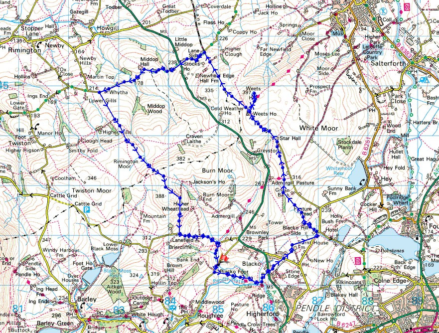
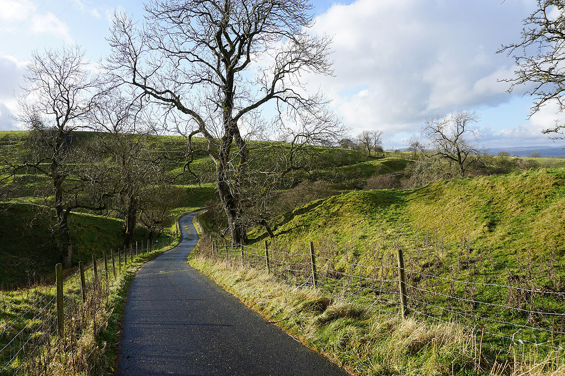
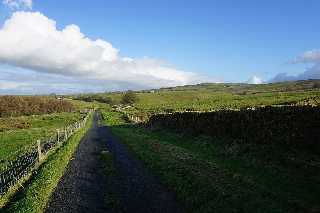
On the Pendle Way from Blacko Bar Road down to Water Meetings
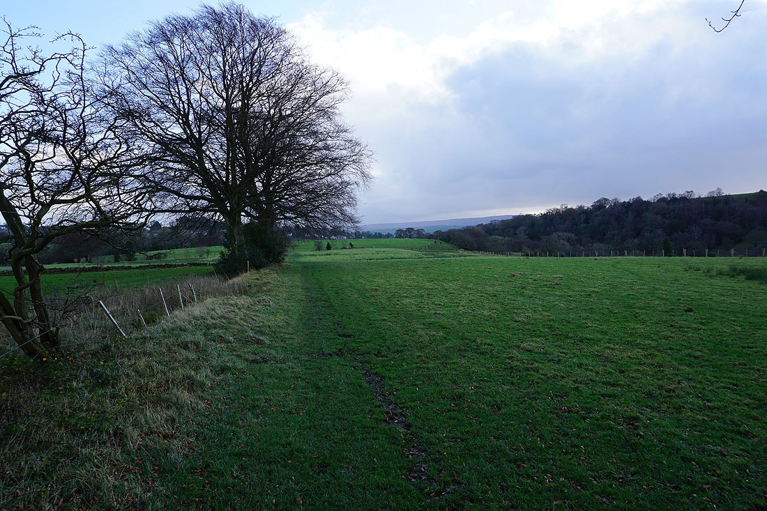
A shower passes nearby over Burn Moor
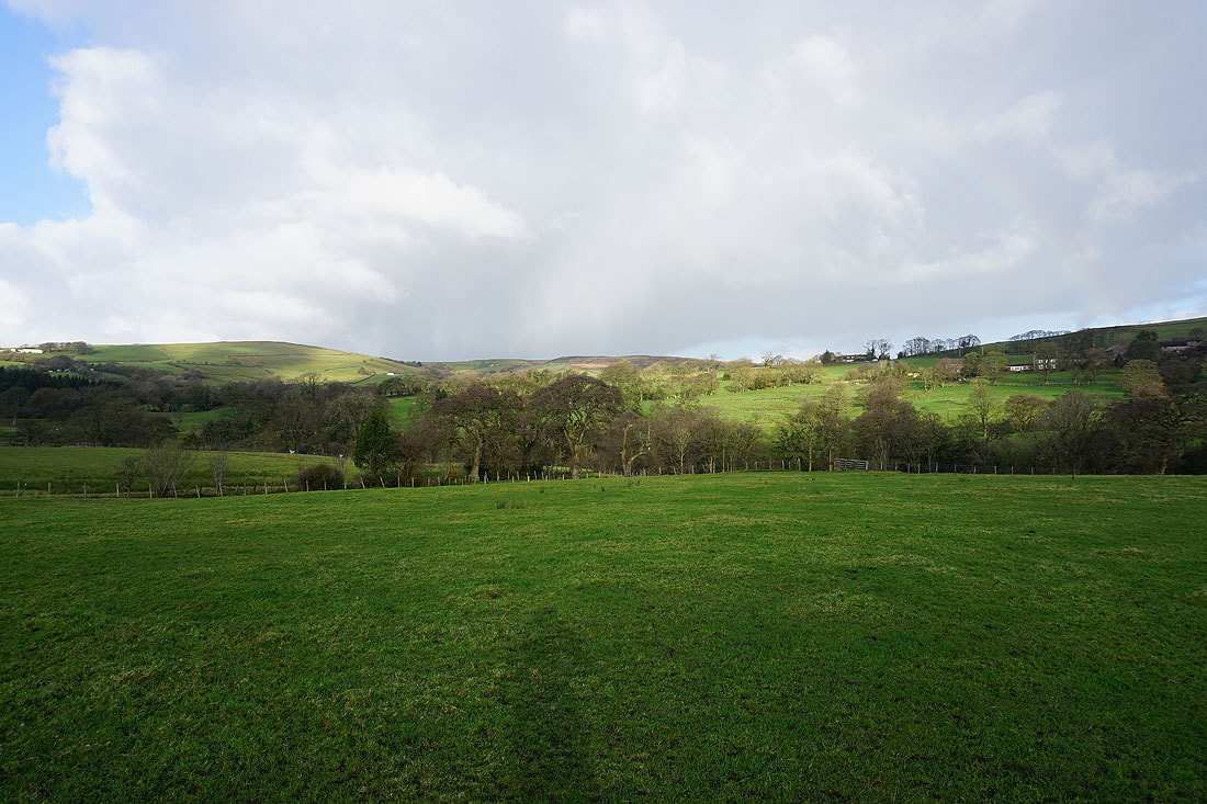
Pendle Water below
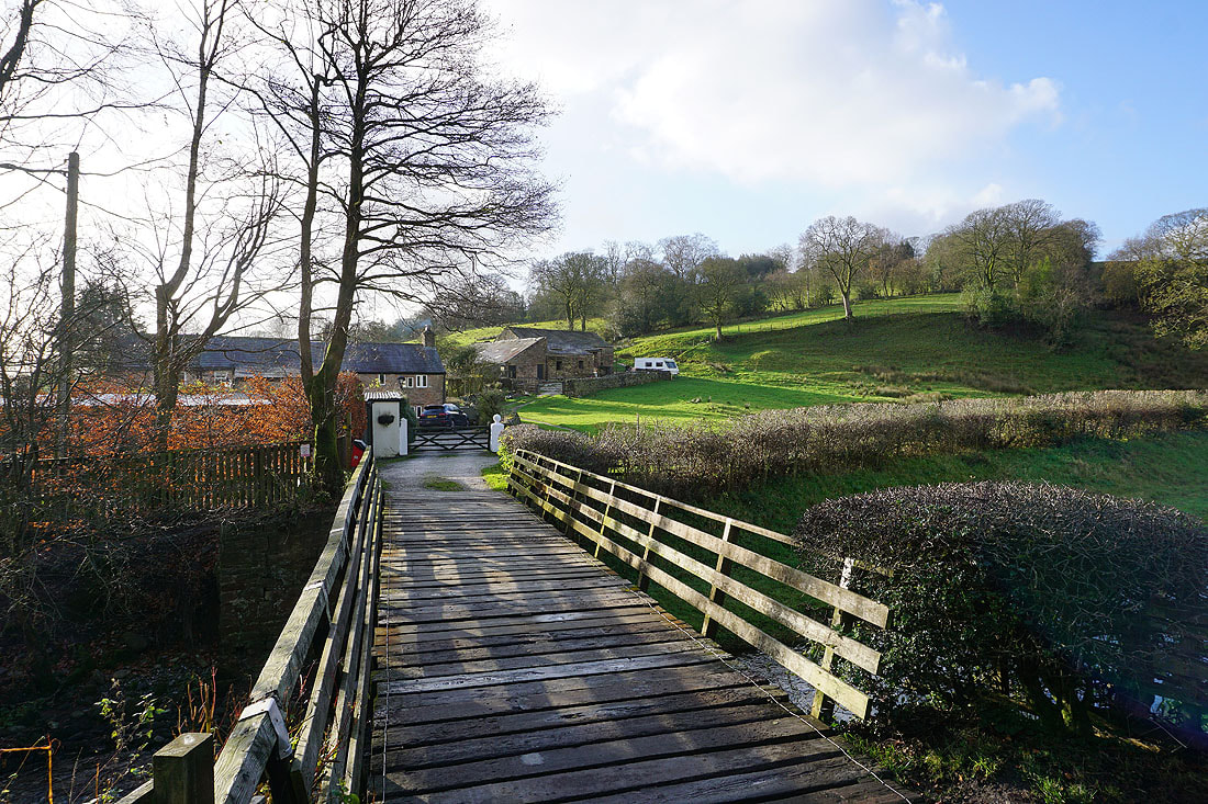
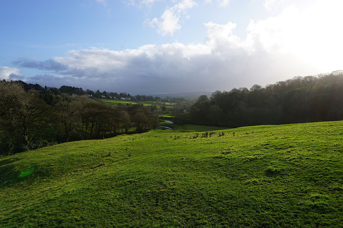
At Water Meetings and the bridge over Pendle Water
In Blacko, and Pendle Hill rises above the nearby moorland
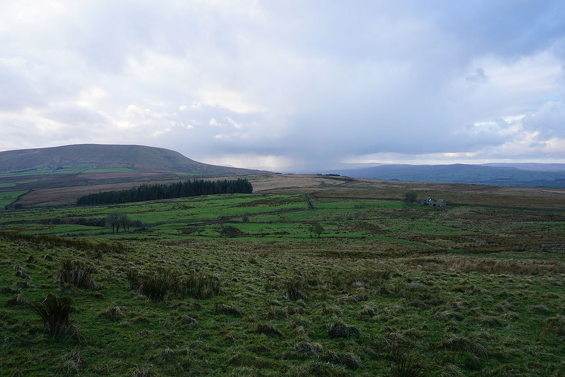
Boulsworth Hill in the distance from Burnt House Farm
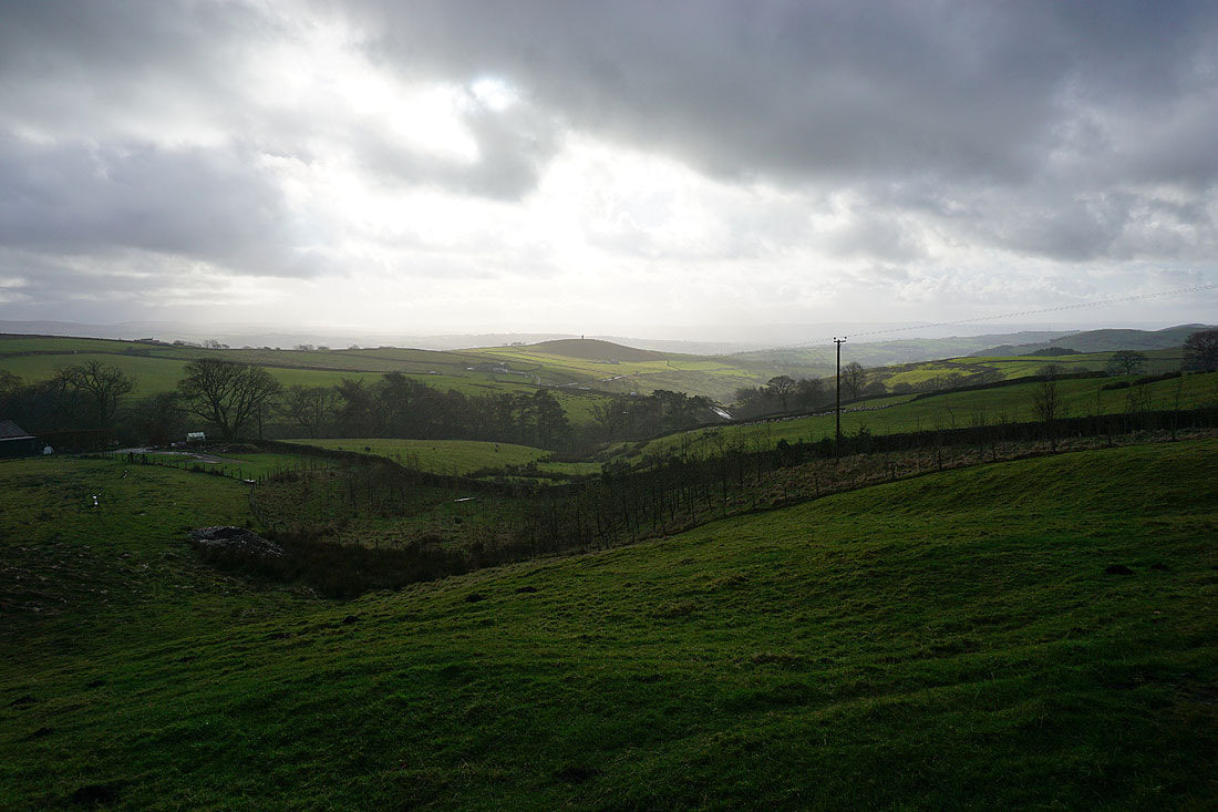
and again as I head up onto Blacko Hill, with Foulridge Lower Reservoir on the left
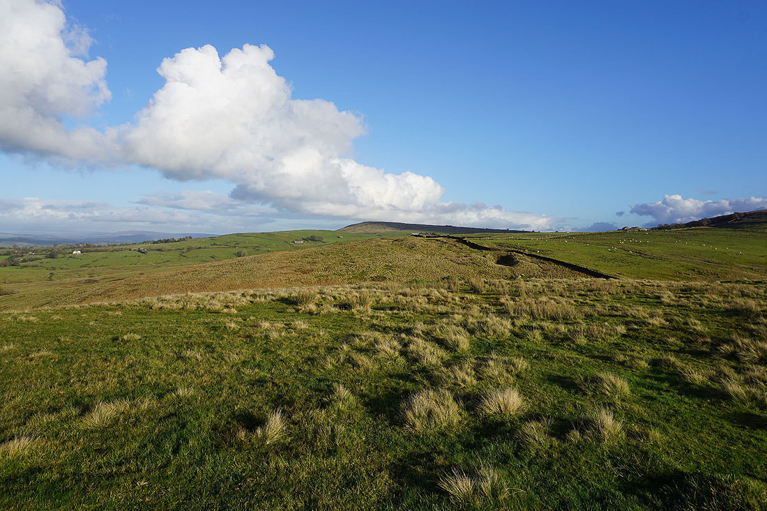
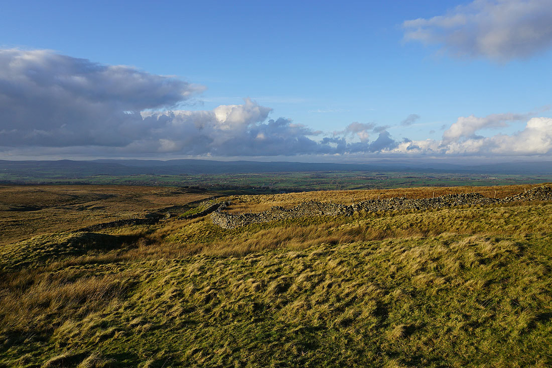
Dramatic skies on Blacko Hill..
Then it's bright sunshine over the Pendle countryside as I follow the Pendle Way up to Gisburn Old Road..
A shower passes through while I walk up Gisburn Old Road..
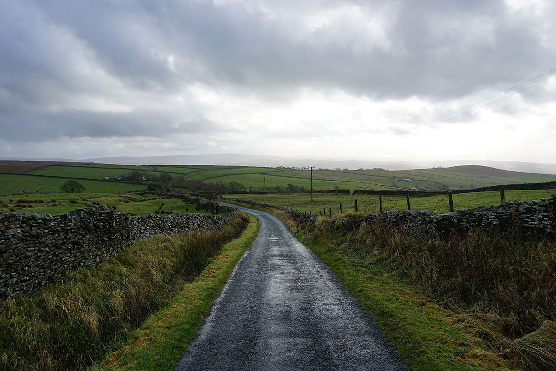
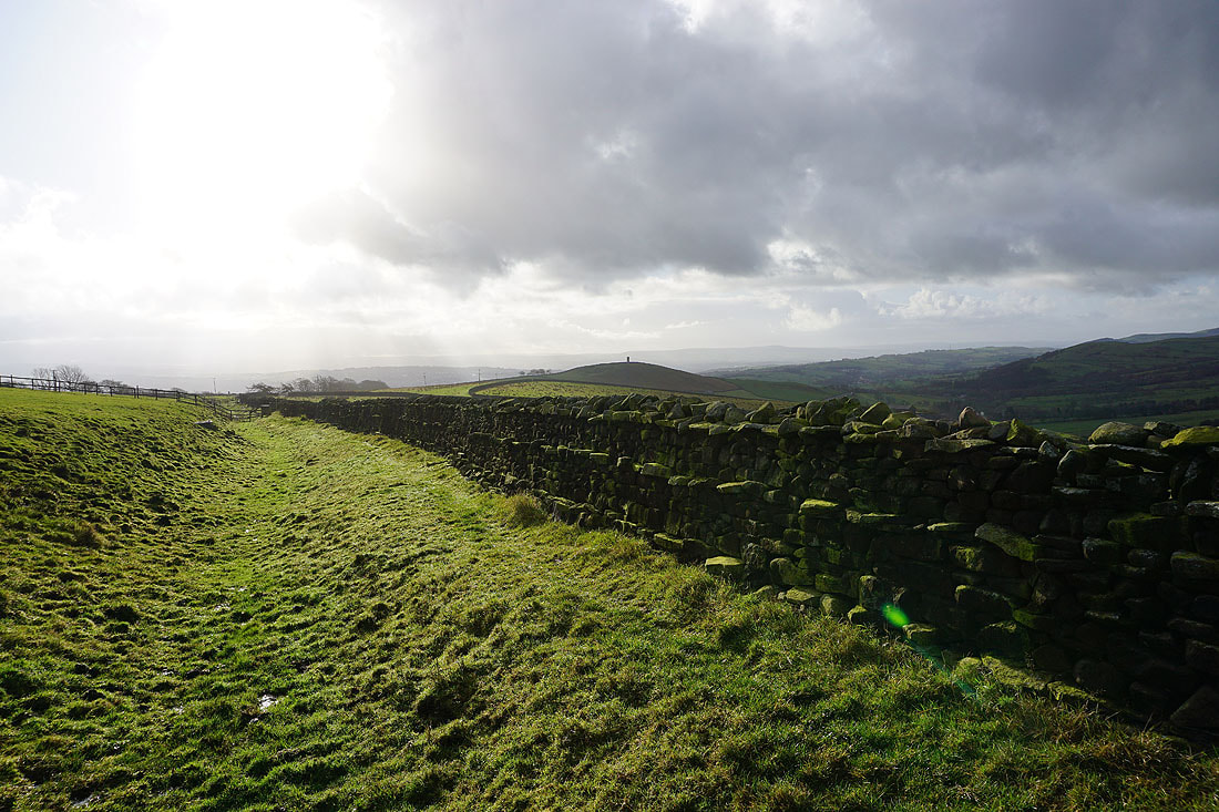
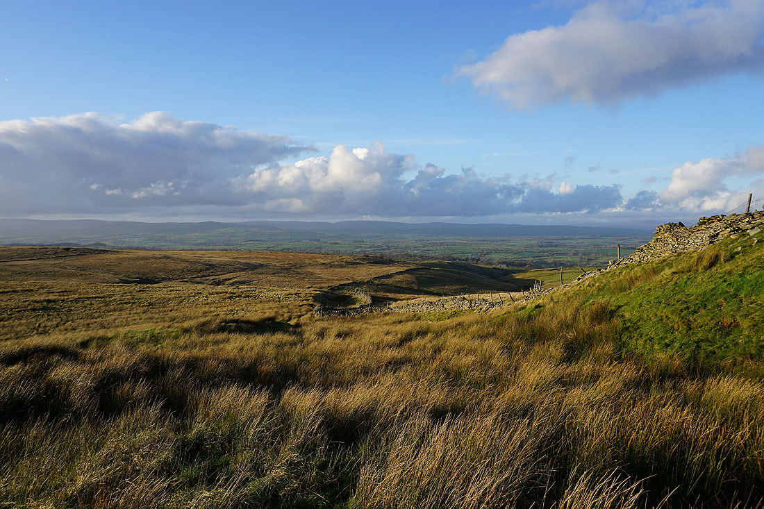
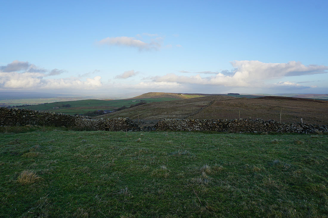
Pendle Hill in the distance as I reach the Pennine Bridleway at the top of Gisburn Old Road
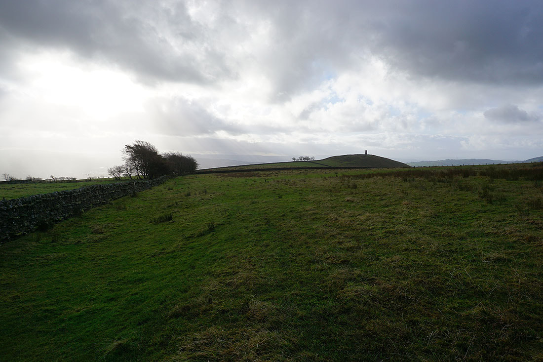
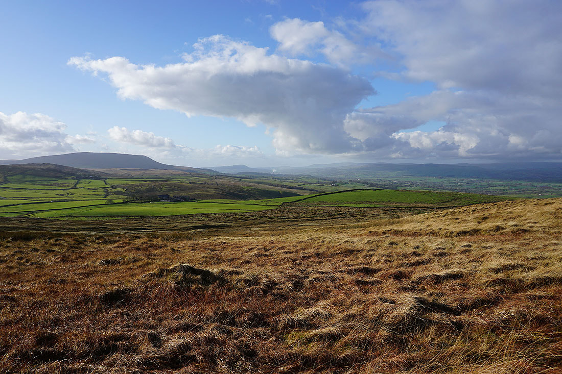
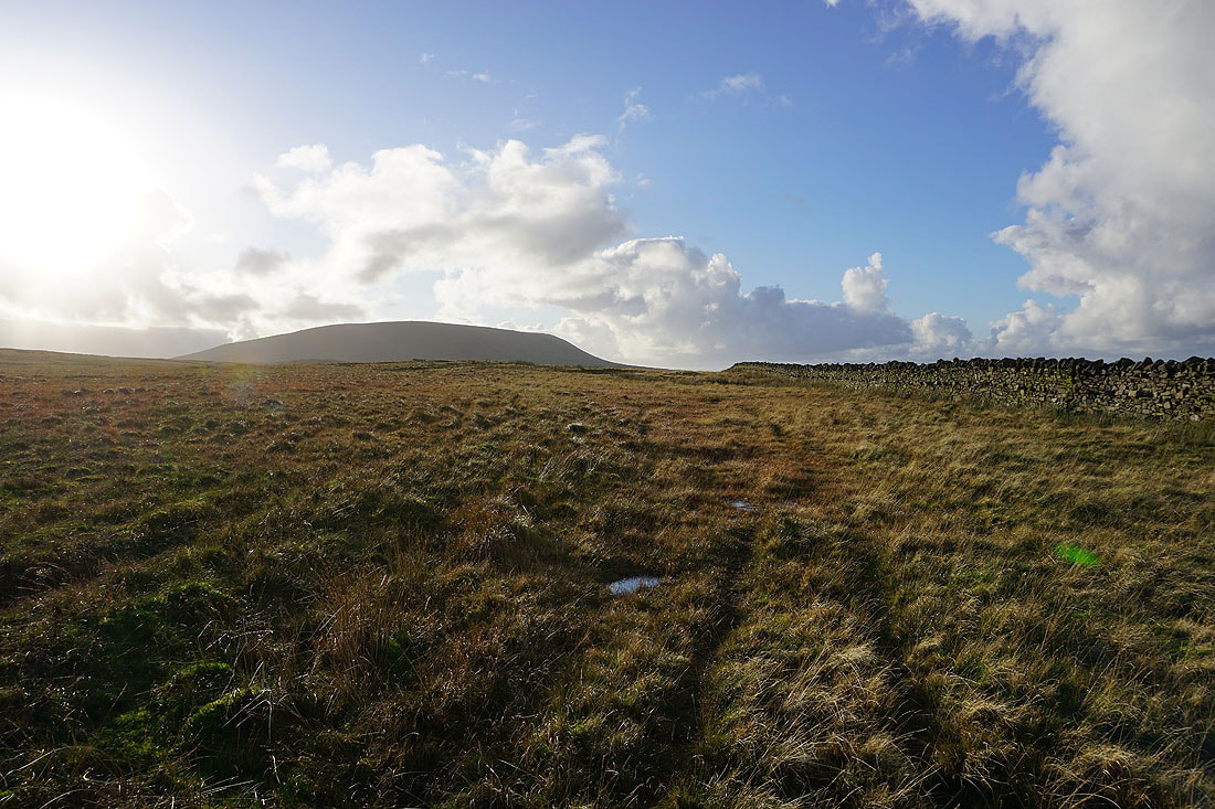
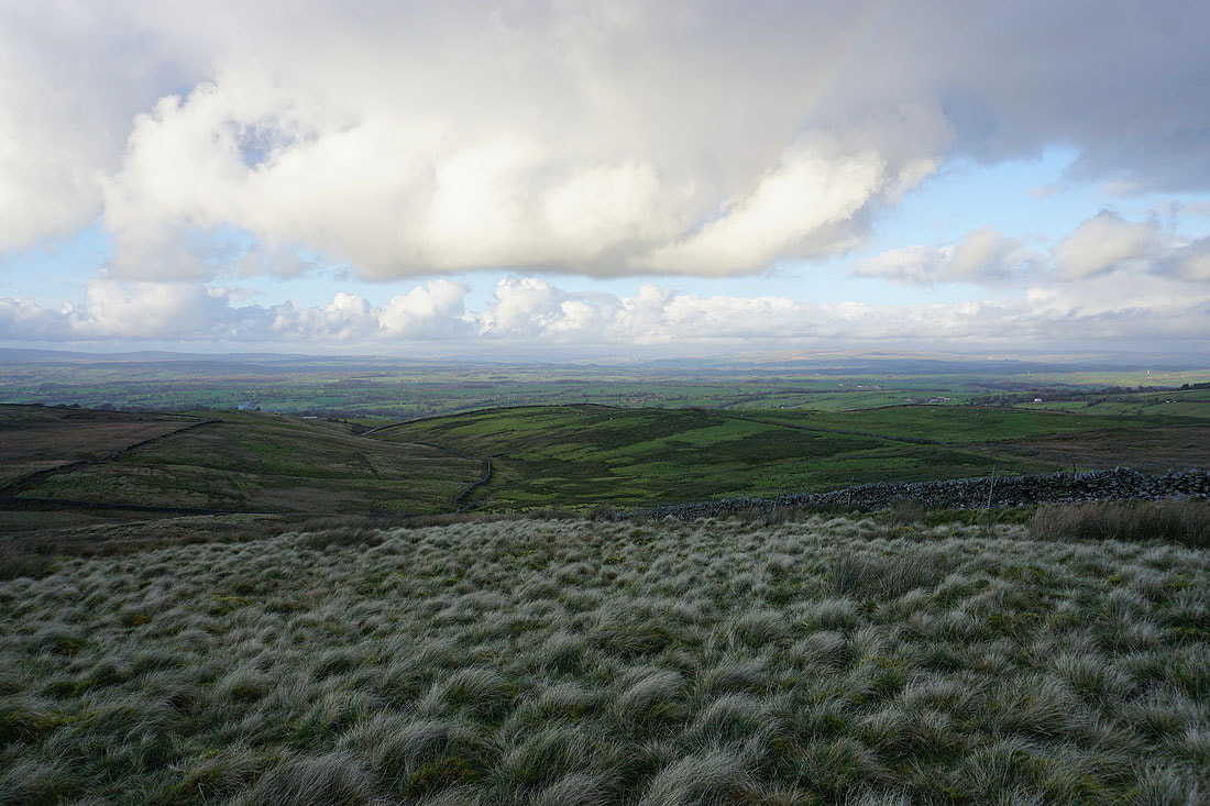
On Weets Hill and looking back to Weets House Farm with Blacko Hill and the South Pennines moors in the distance
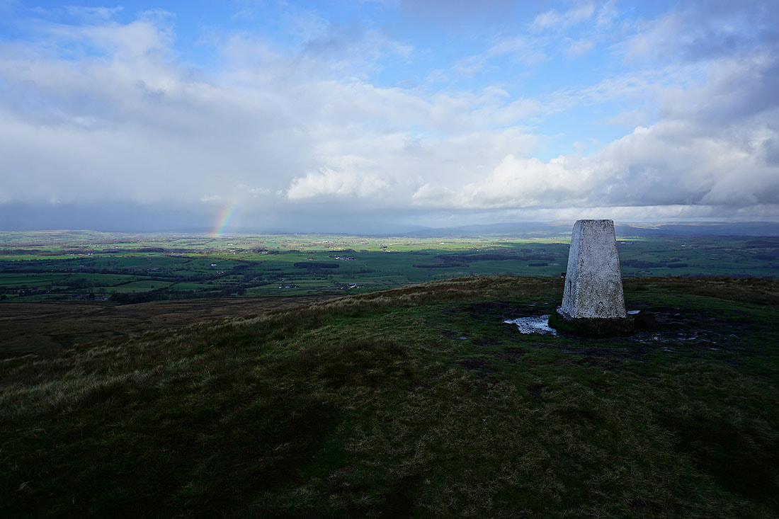
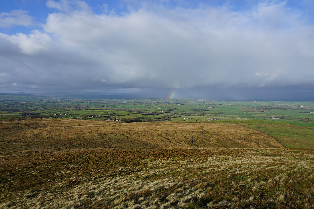
At the trig point on Weets Hill and there are dark clouds and showers over the Yorkshire Dales to the north
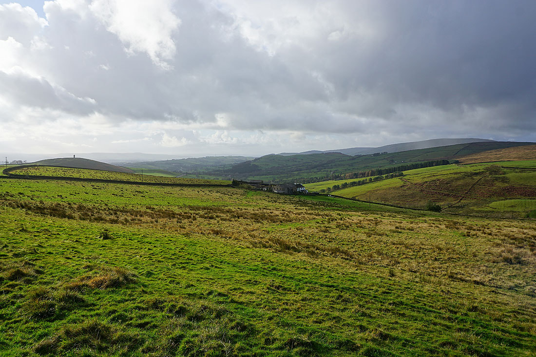
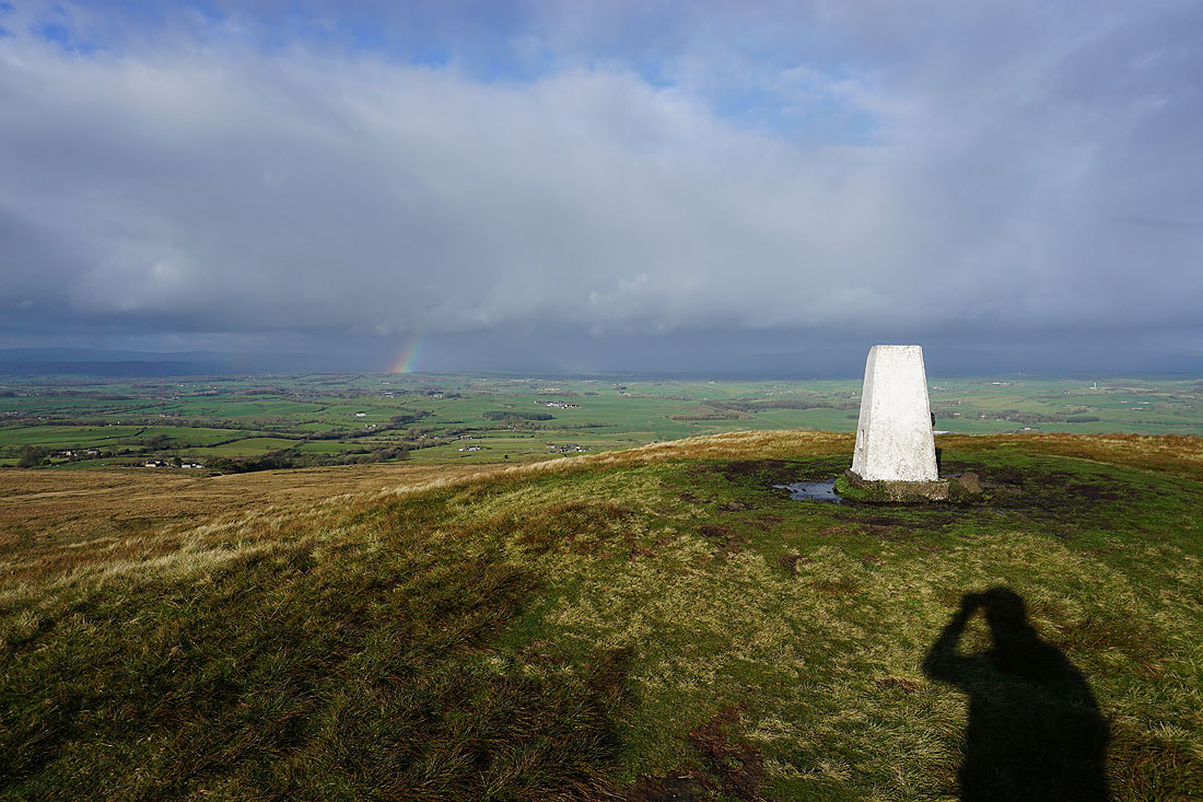
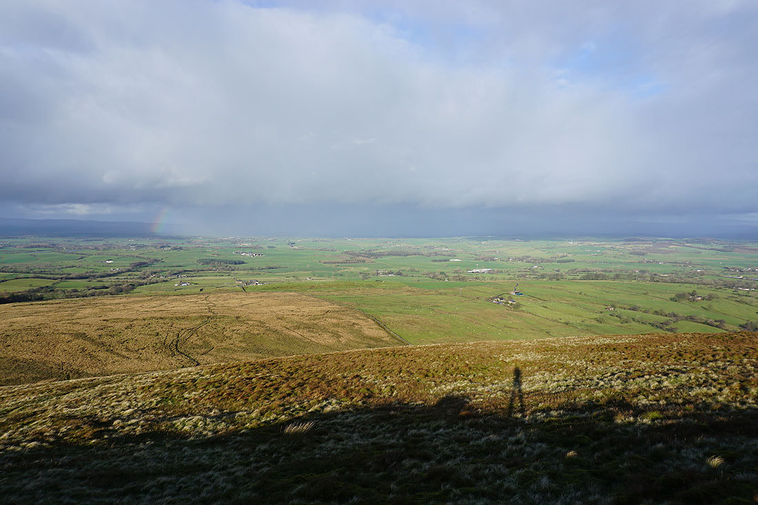
Just ten minutes later and with the cloud clearing and the sun out it's not such a bad autumn afternoon, even if it is very windy. I have a great view of Pendle Hill to the west along with the moorland that I'll be walking through on my way back to Blacko.
Thornton Moor, Bleara Moor and Kelbrook Moor to the east
There's a real contrast between the bright sunshine here and the showery weather to the north...
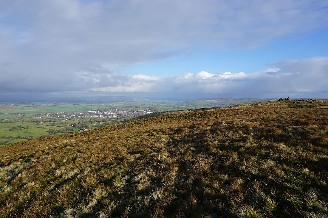
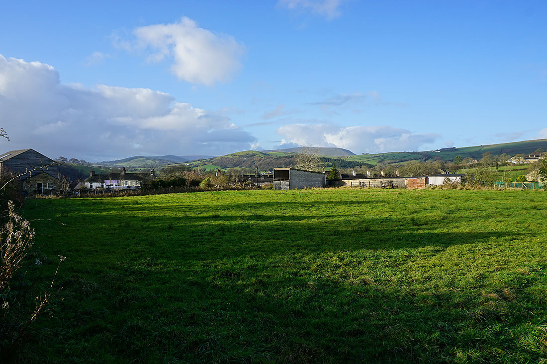
The town of Barnoldswick below with Barden Moor in the distance
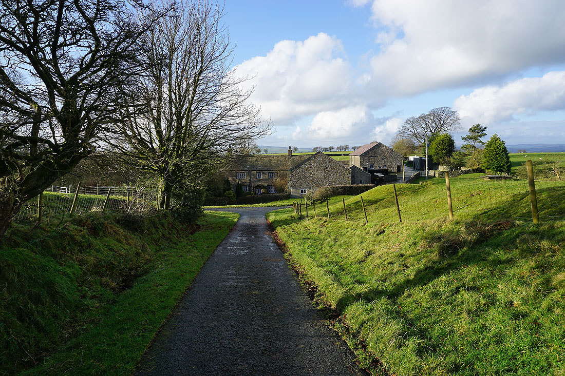
Heading back to Weets House Farm
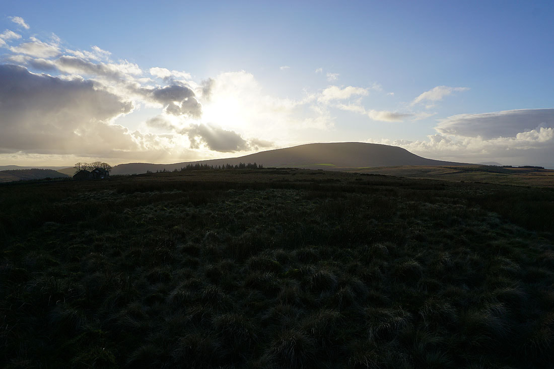
Pendle Hill and the Forest of Bowland
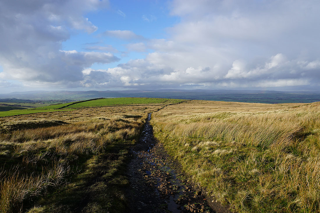
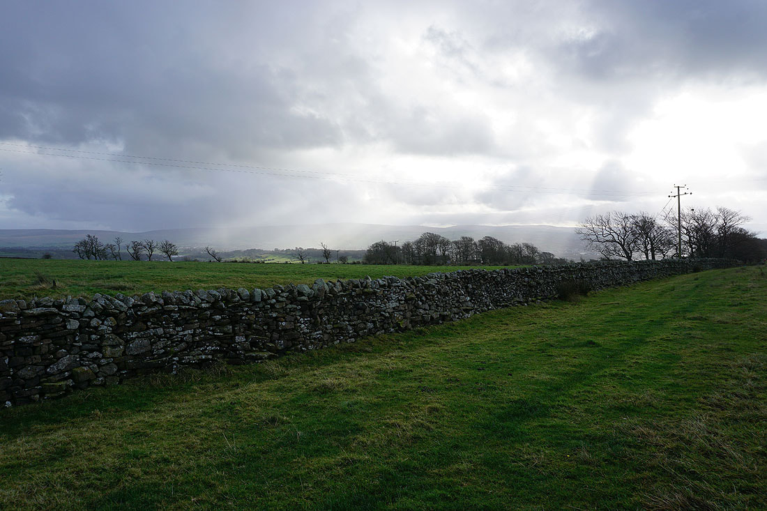
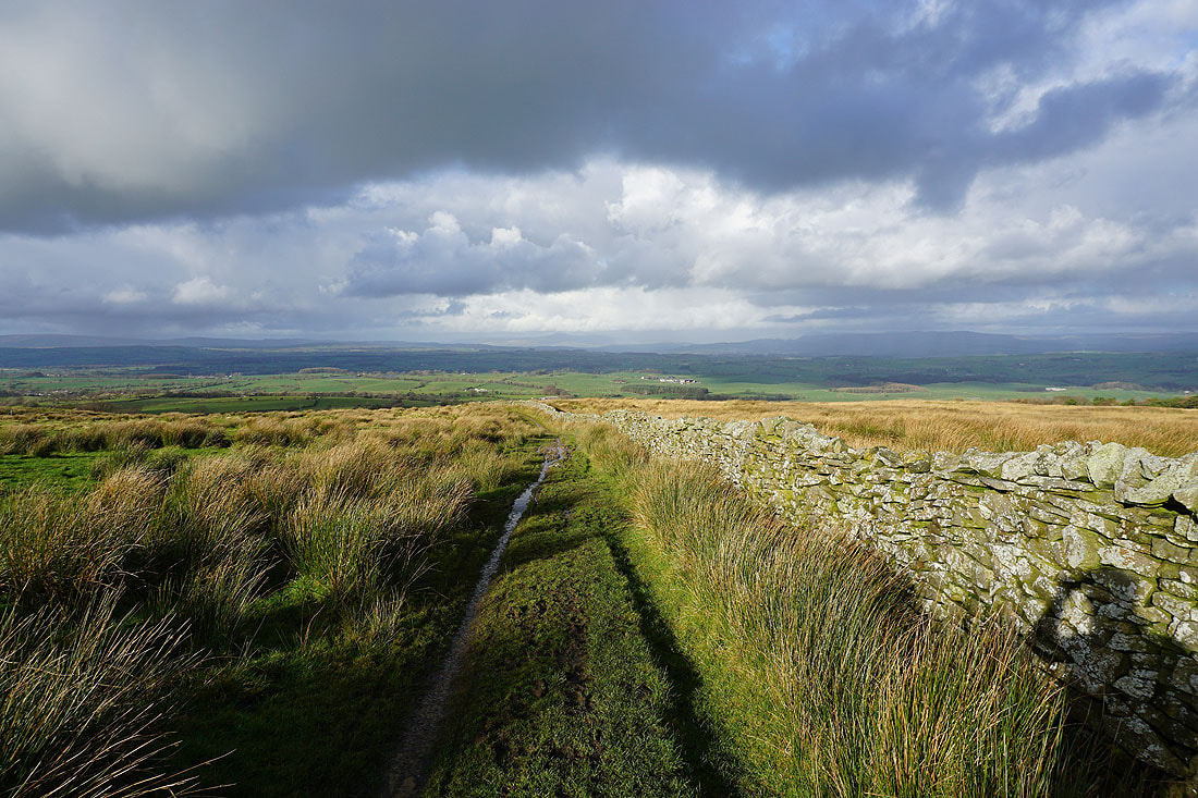
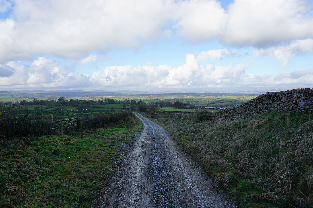
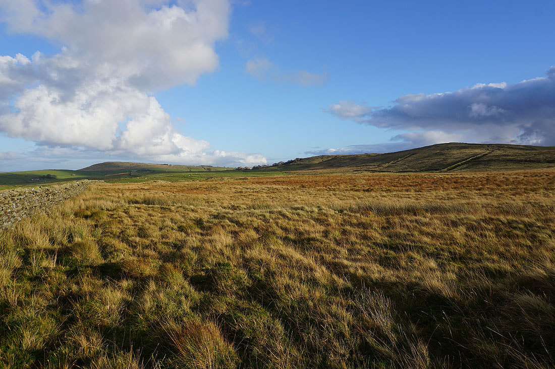
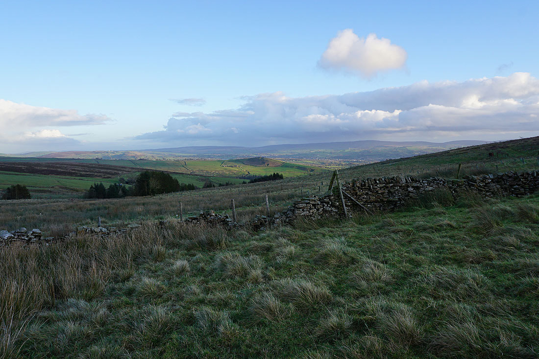
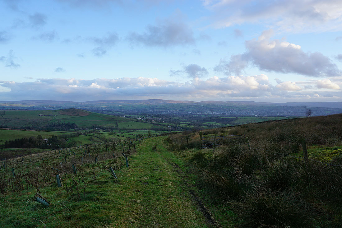
Heading north on the Pennine Bridleway...
Walking west along Stocks Lane to Middop Hall
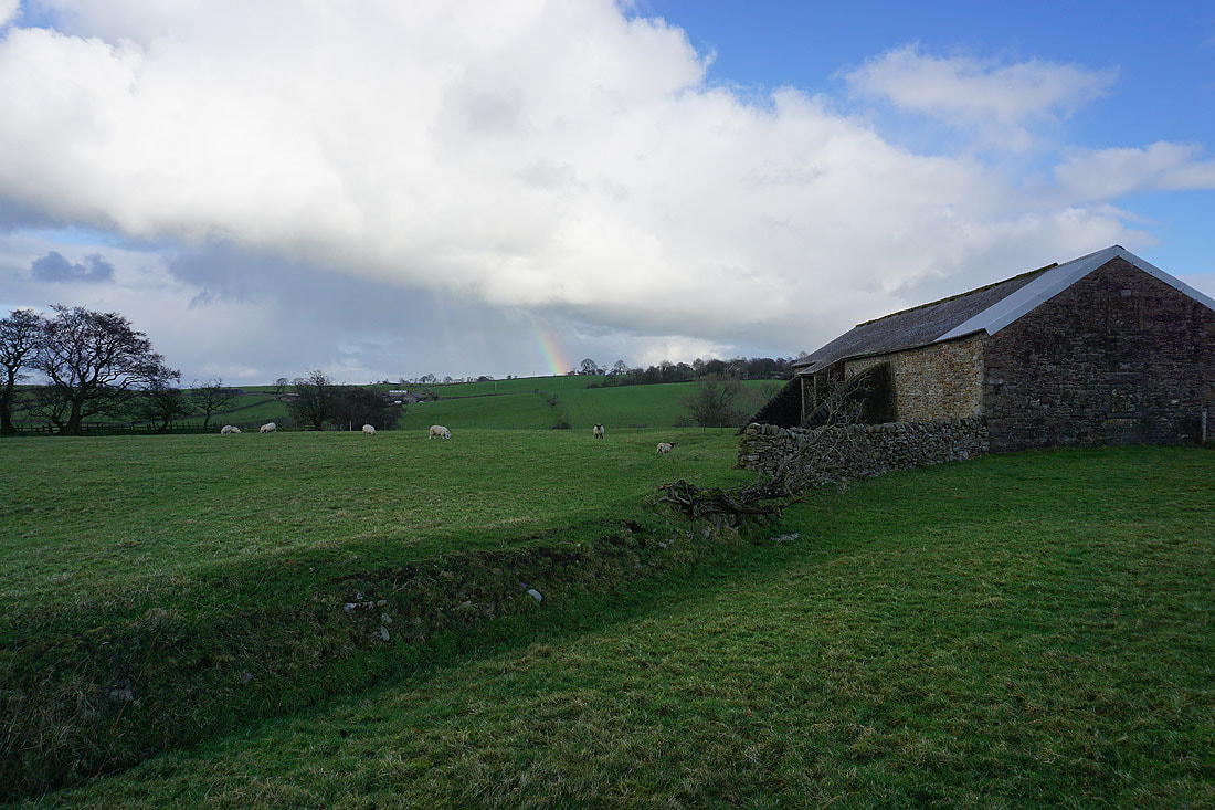
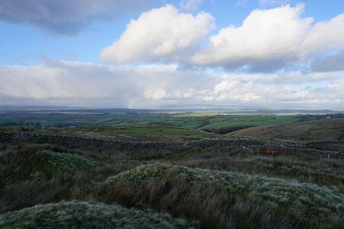
I spot a rainbow as I pass Higher Laithe
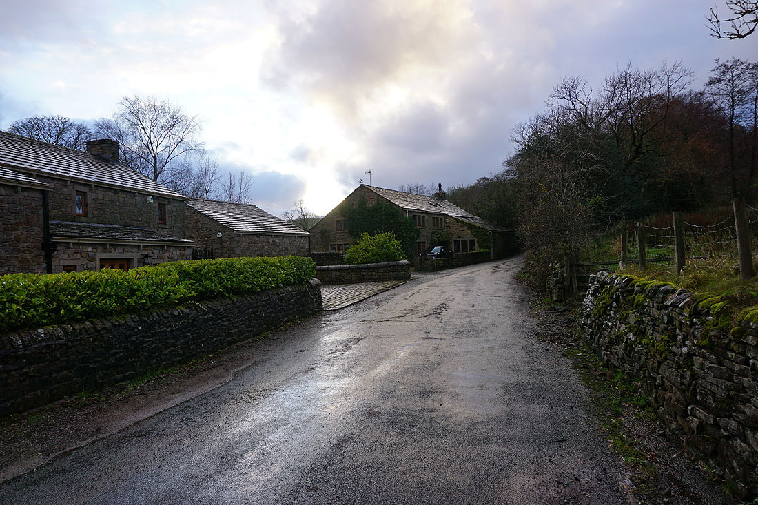
Middop Hall
The Ribble Valley with the Forest of Bowland in the distance as I walk west along Whytha Road
Looking back with Weets Hill up on the right
Great views to the north of the Forest of Bowland and the Yorkshire Dales as I follow the track up past Higher Gills Farm, and then the footpath up onto Rimington Moor...
Weets Hill to the east
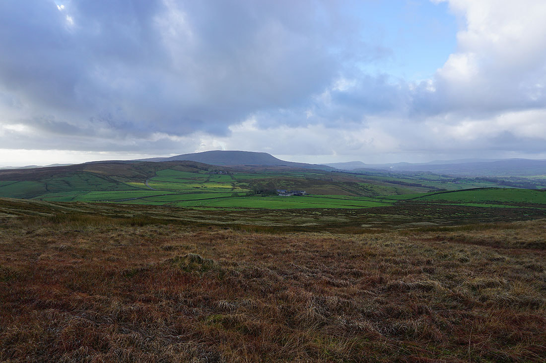
The bulk of Pendle Hill looms over Rimington Moor
Weets Hill and Jackson Slack Hill
Showers over the Yorkshire Dales
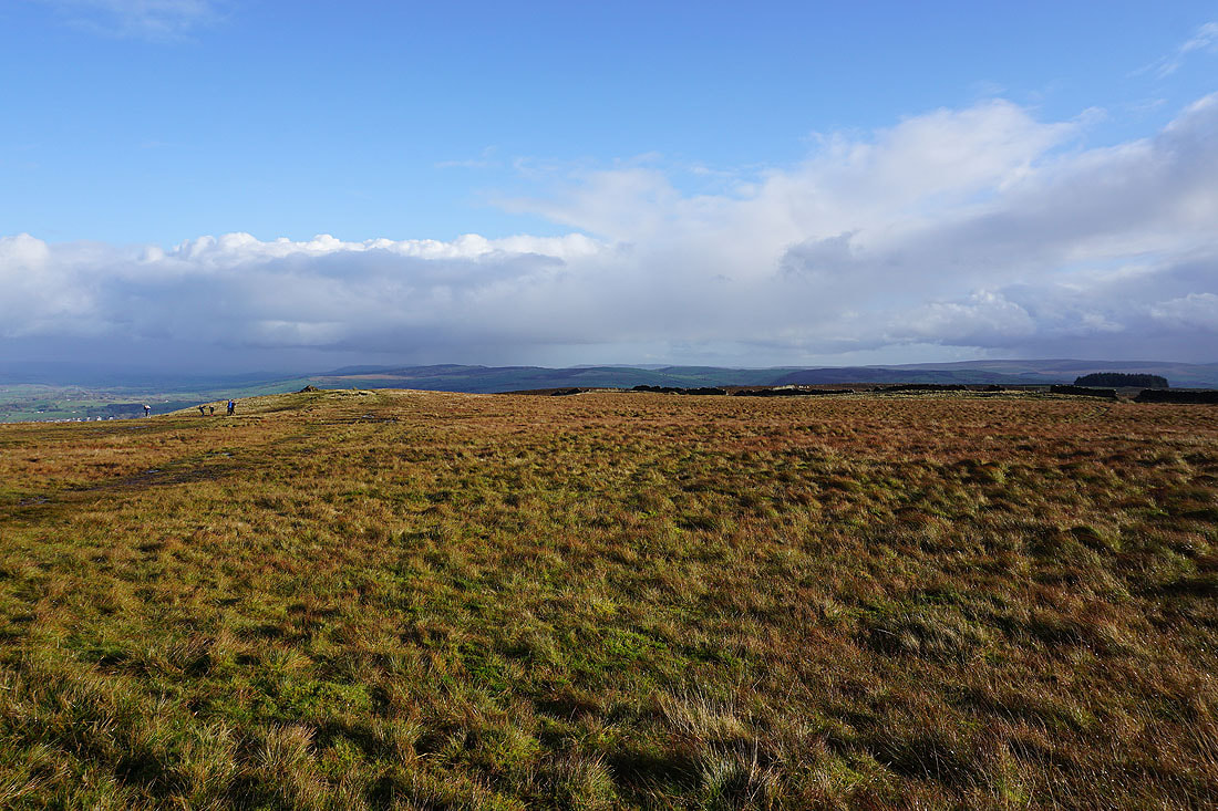
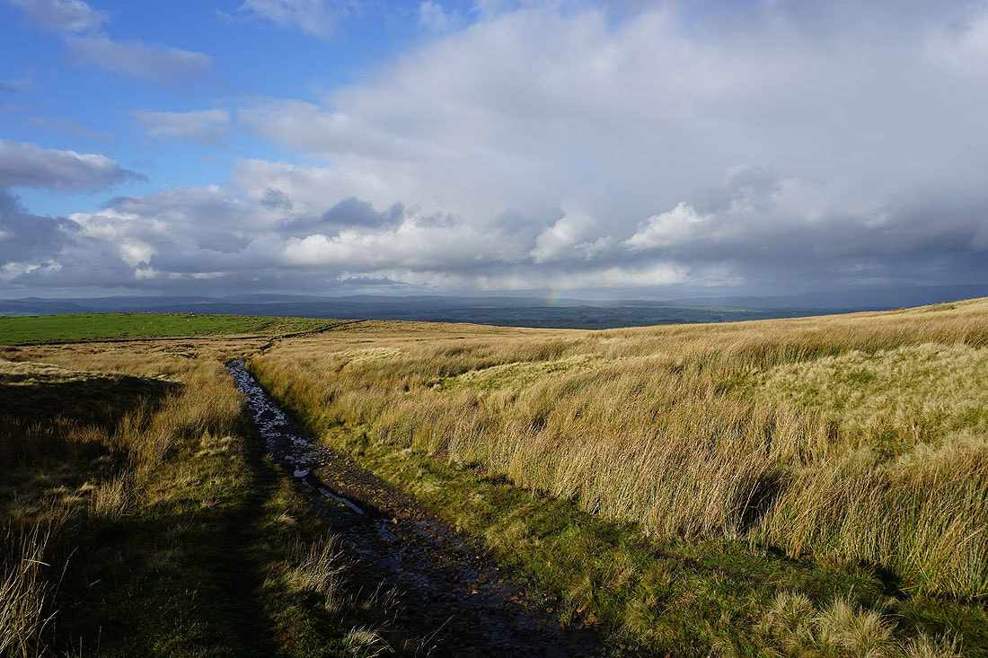
It isn't easy to stop myself from taking in that view to the north as I head up onto the top of Rimington Moor
Pendle Hill
The ruins of Firber House and Pendle Hill
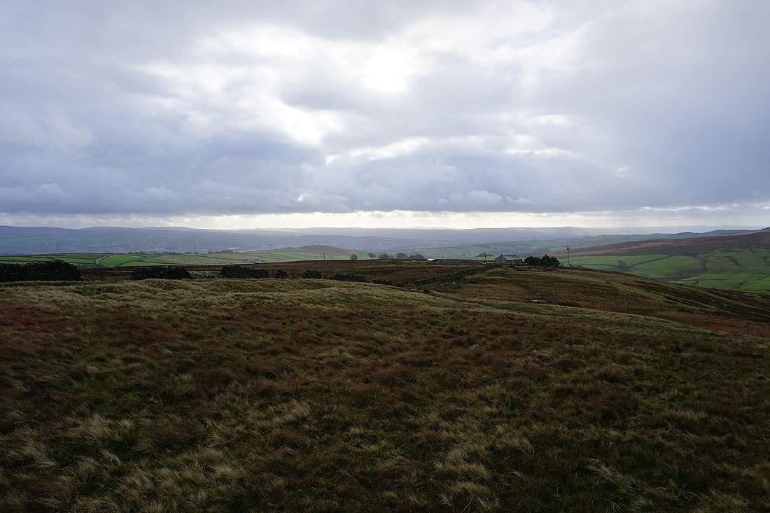
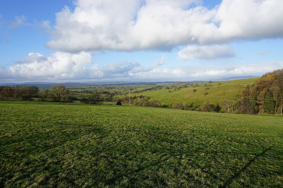
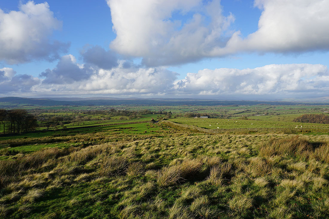
On the top of Rimington Moor with great views to the north across the Ribble Valley to the Forest of Bowland and the Yorkshire Dales..
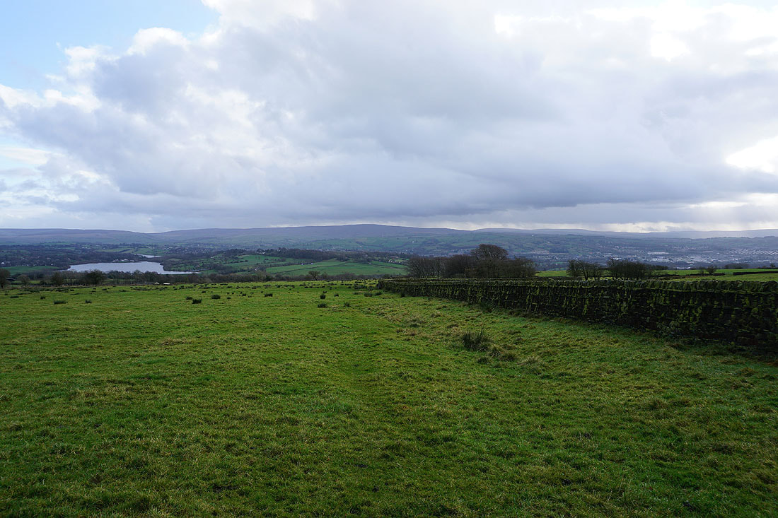
The Black Moss Reservoirs and Pendle Hill
Sunshine on Weets Hill
and on Blacko Hill
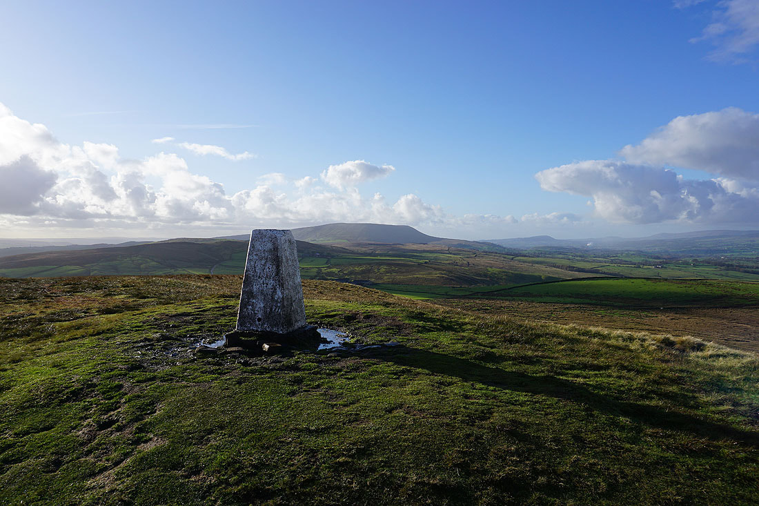
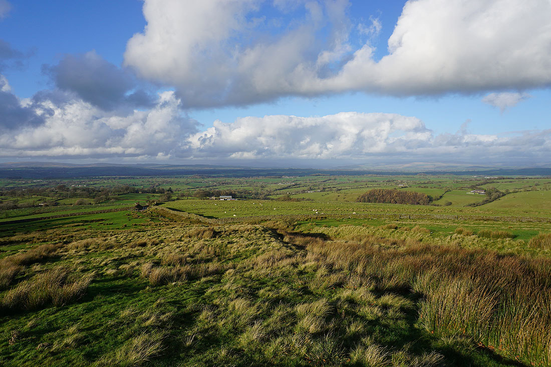
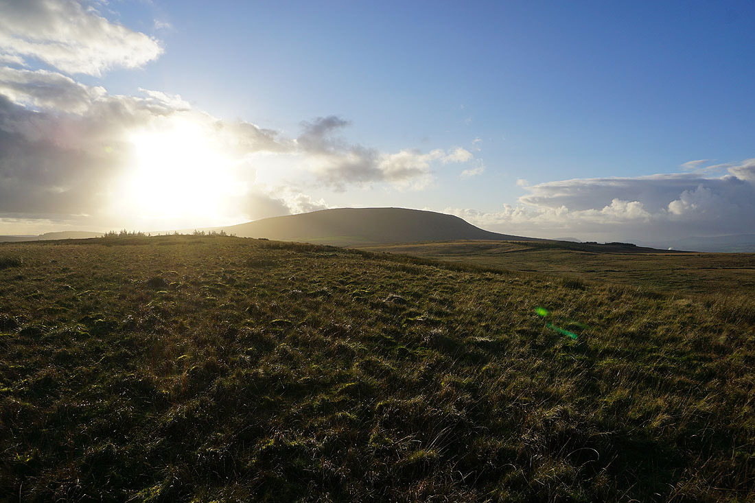
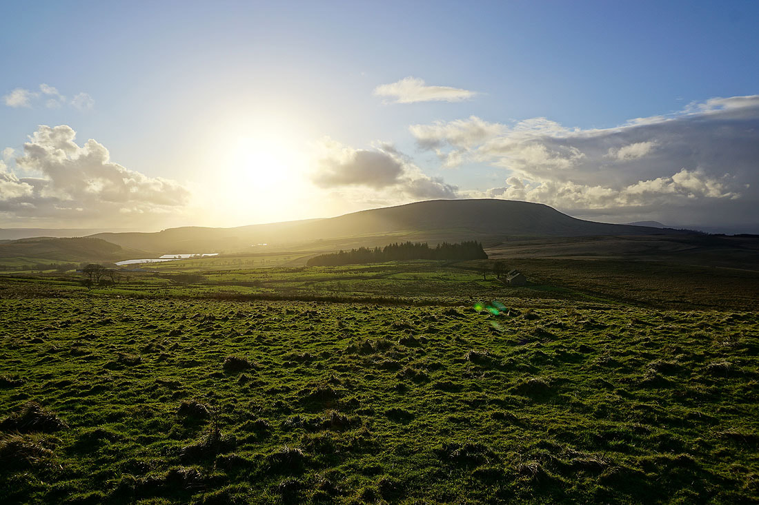
Pendle Hill and Twiston Moor from Wheathead Height. Looks like there's a shower on the way.
Boulsworth Hill in the distance as I follow the track from Wheathead Height down to Wheathead Lane
On Wheathead Lane at Lanefield and it's brightening up after that shower has passed through
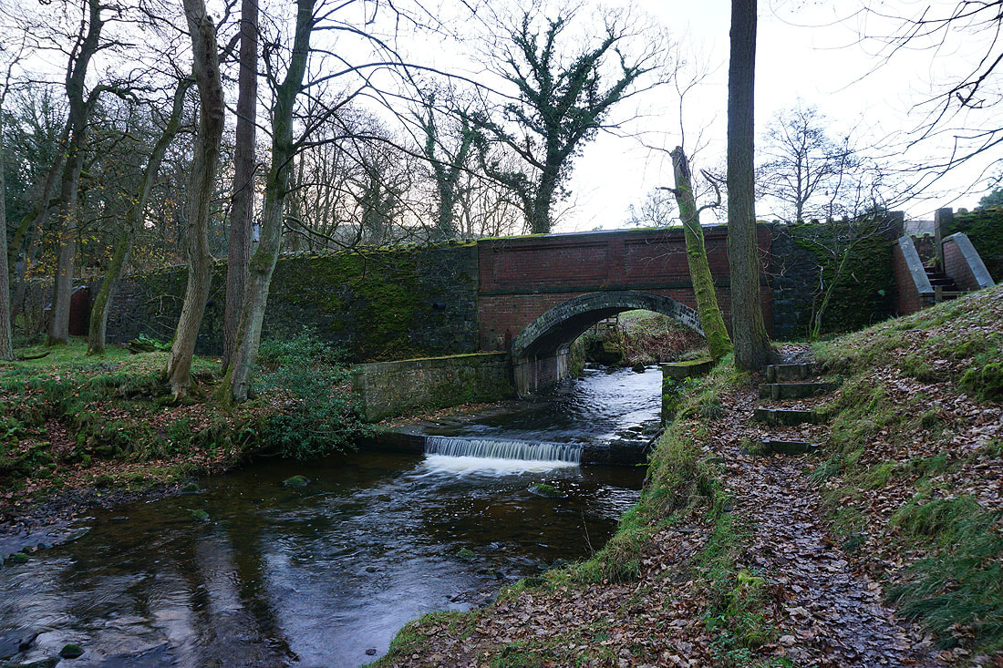
The bridge carrying Wheathead Lane over Admergill Water as I take the Pendle Way back to where I'm parked on Blacko Bar Road