22nd October 2011 - Attermire Scar & Catrigg Force
Walk Details
Distance walked: 8.9 miles
Total ascent: 1868 ft
OS map used: OL2 - Yorkshire Dales, Southern & Western areas
Time taken: 6 hrs
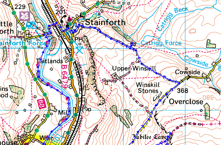
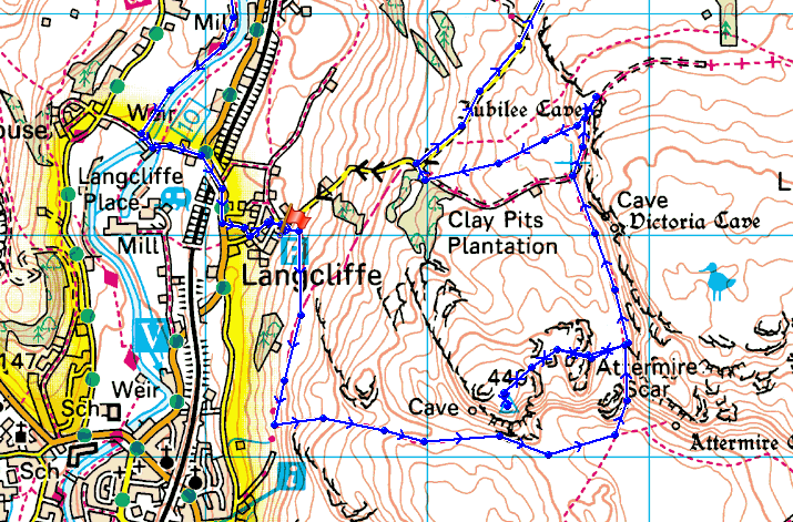
Route description: Langcliffe-Attermire Scar-Warrendale Knotts-Attermire Scar-Victoria Cave-Jubilee Cave-Langcliffe to Malham road-Catrigg Force-Stainforth-Stainforth Force-Ribble Way-Langcliffe
I started this walk from Langcliffe near Settle. From the village I took the footpath along the hillside to Settle and then turned left at the signpost for the path to Malham. I followed the path until I reached the junction for the path under Attermire Scar which I took and then made a detour to the summit of Warrendale Knotts. After the detour I got back on the path and visited Victoria Cave and Jubilee Cave before taking the bridleway down to the Langcliffe to Malham road. I followed the road north for a mile and then took the bridleway down to Stainforth with a short detour to see Catrigg Force. From Stainforth I then followed the Ribble Way back to Langcliffe.
Route map
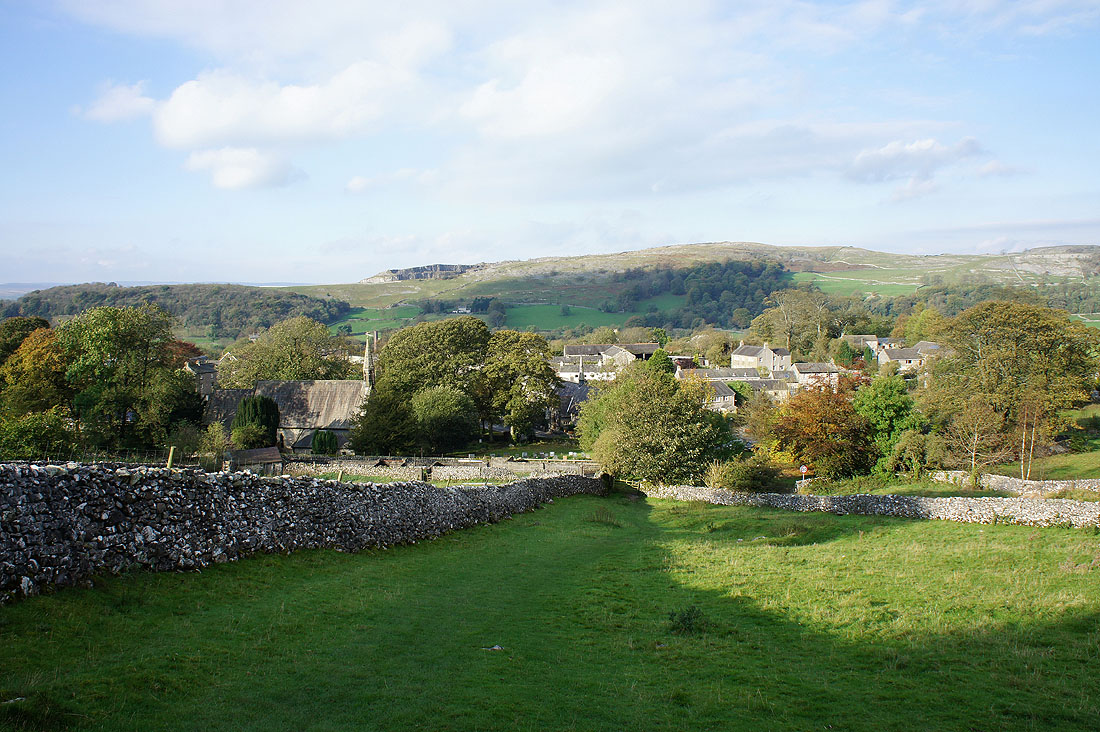
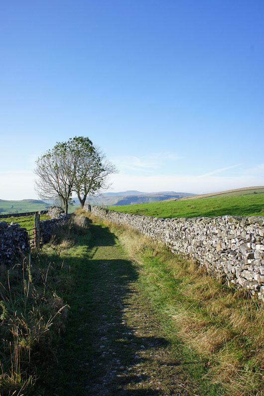
Leaving Langcliffe
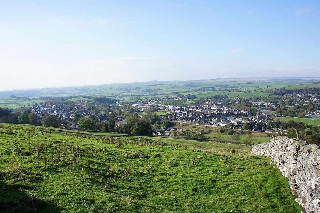
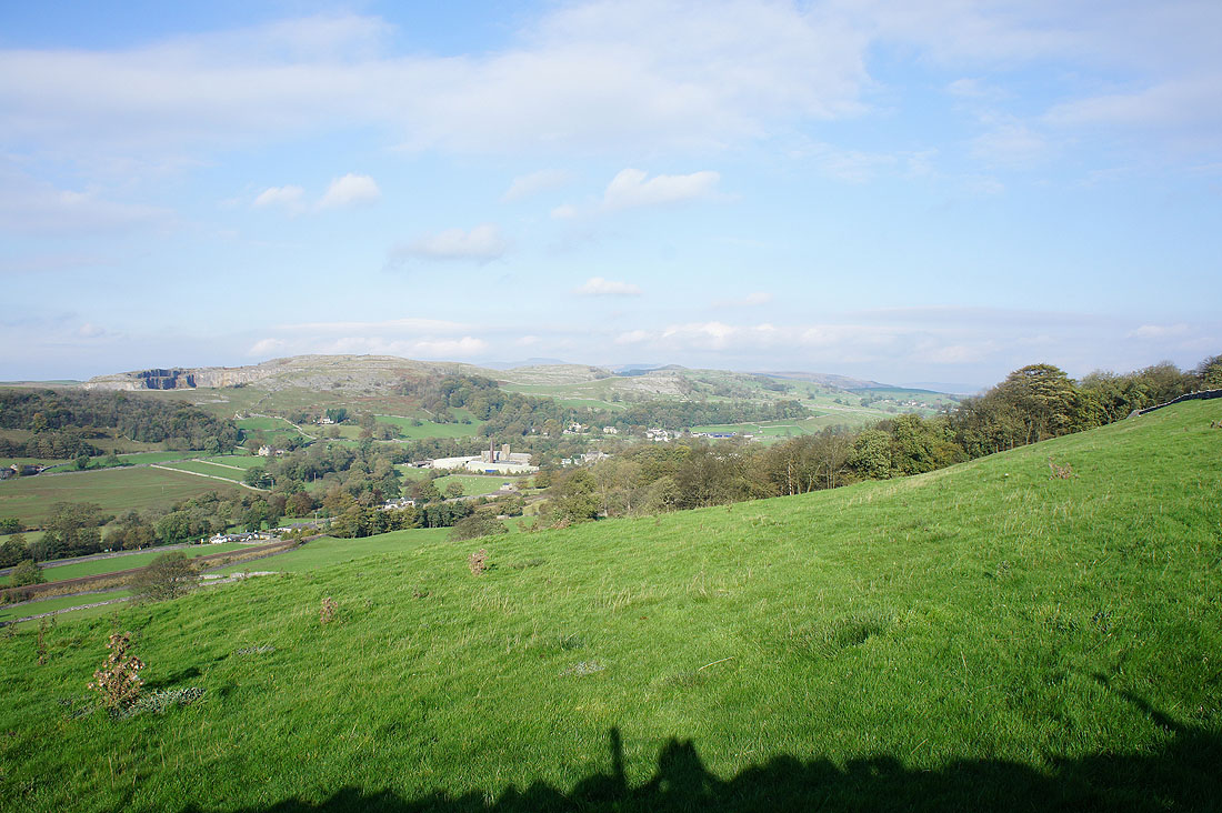
Settle below
A view up Ribblesdale
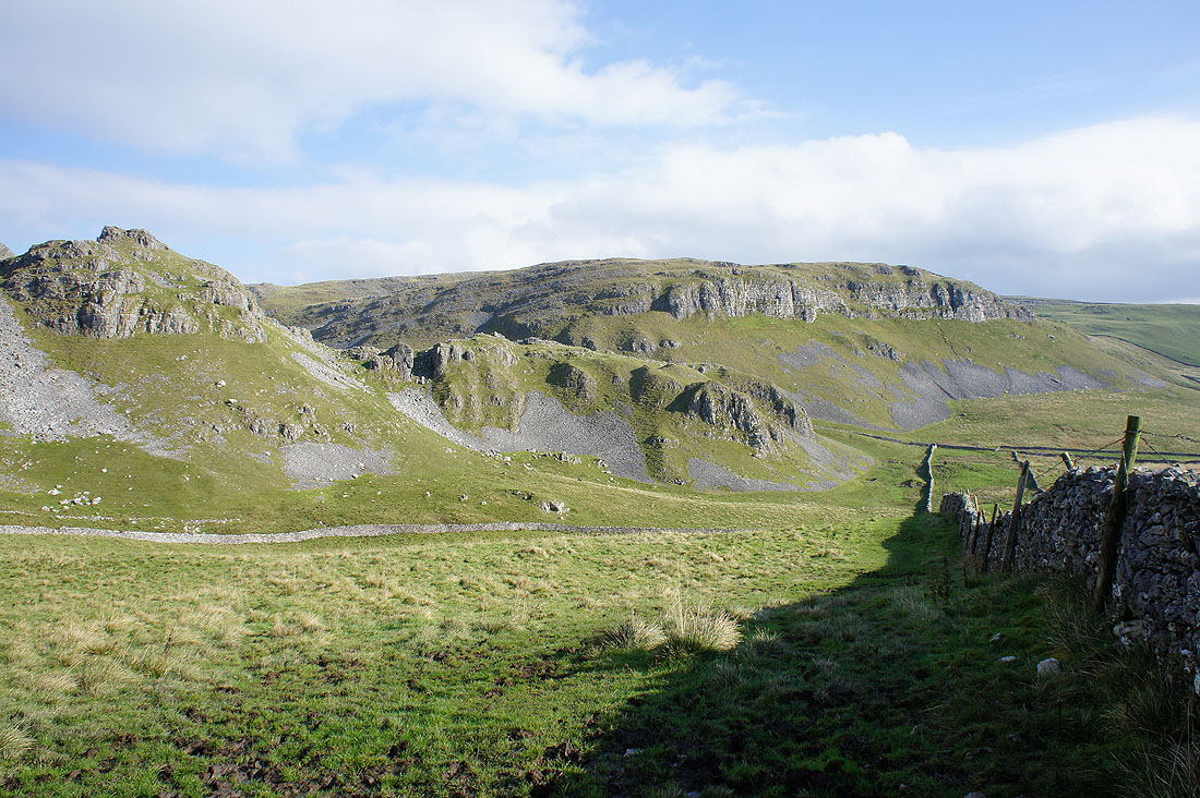
Below Warrendale Knotts
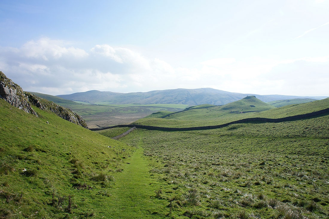
The view across to Rye Loaf Hill
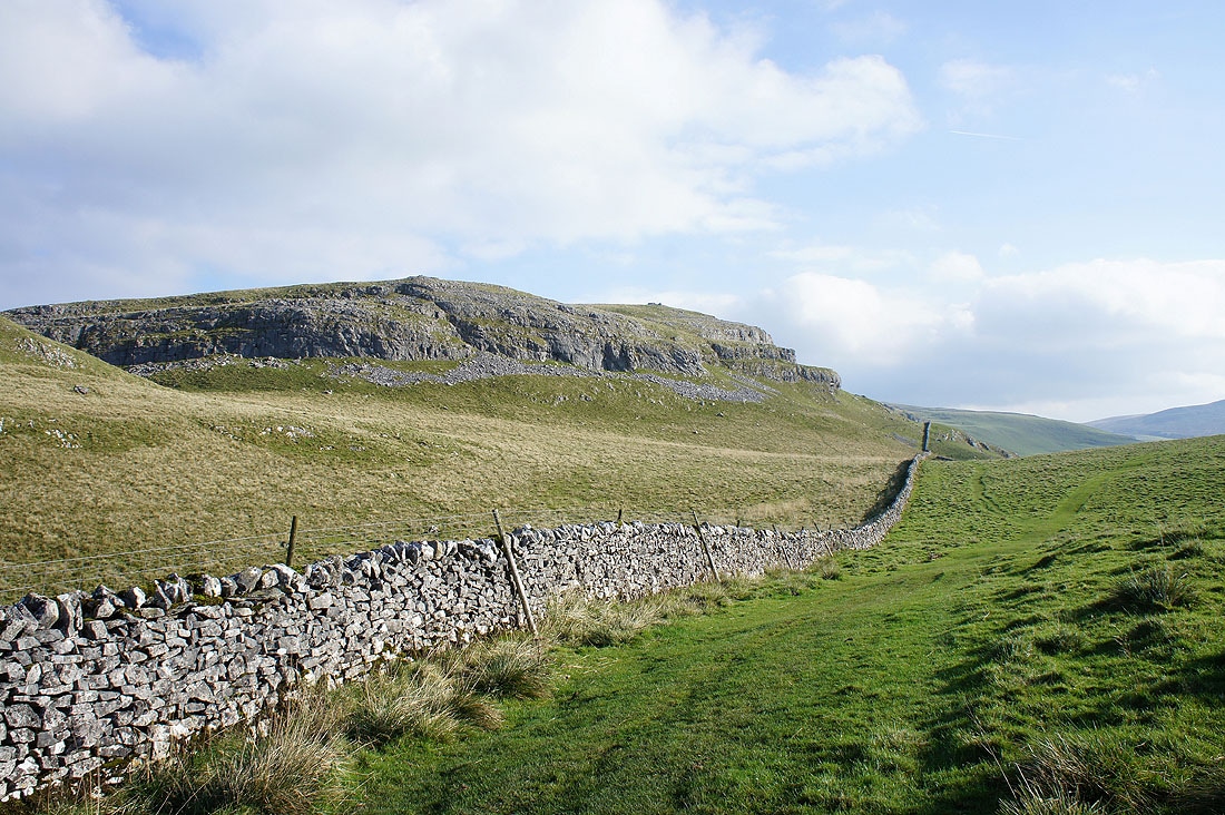
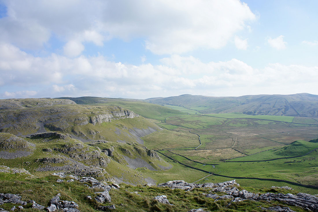
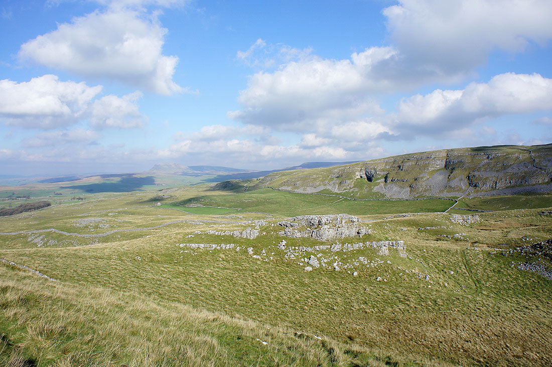
Attermire Scar
Panorama of Warrendale Knotts and Attermire Scar
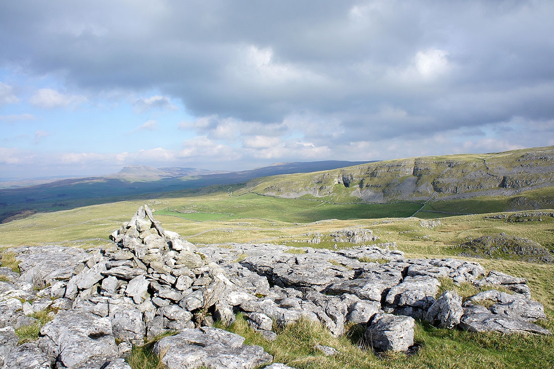
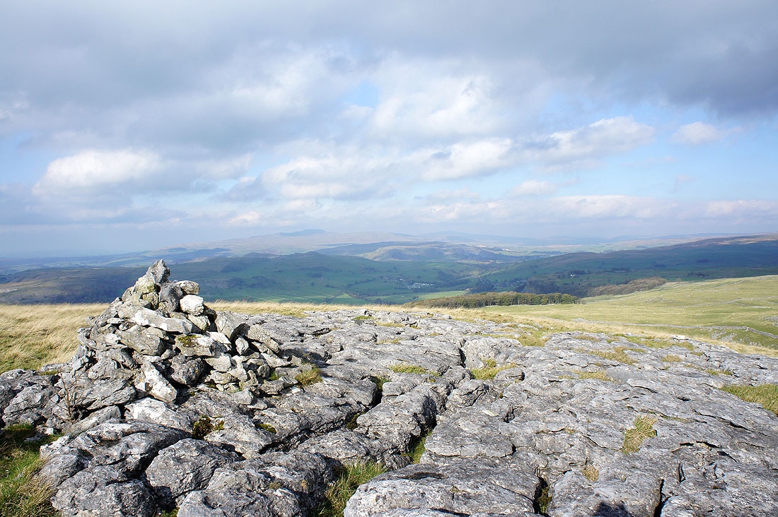
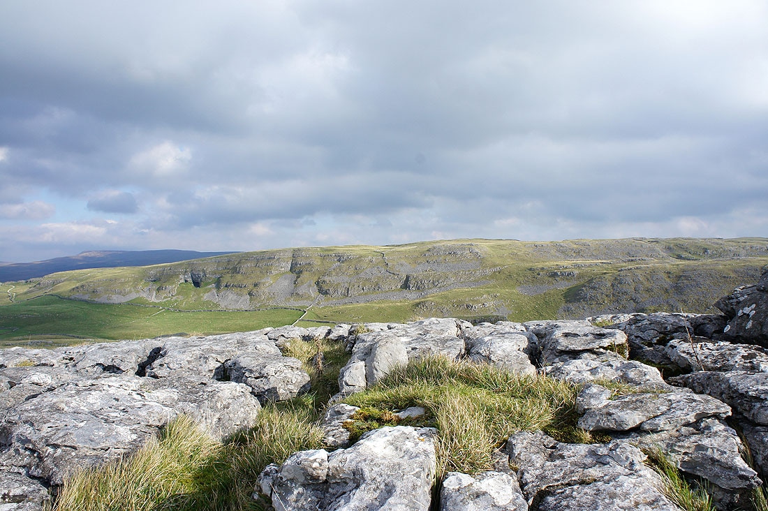
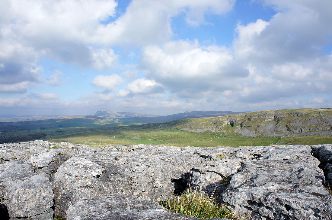
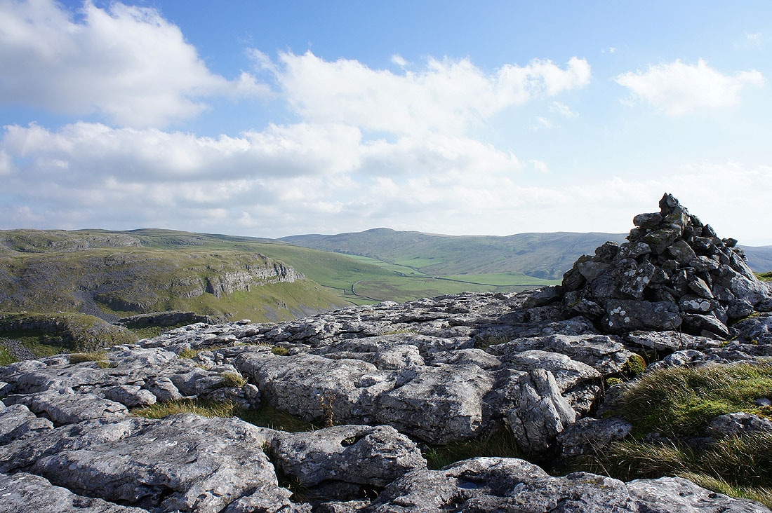
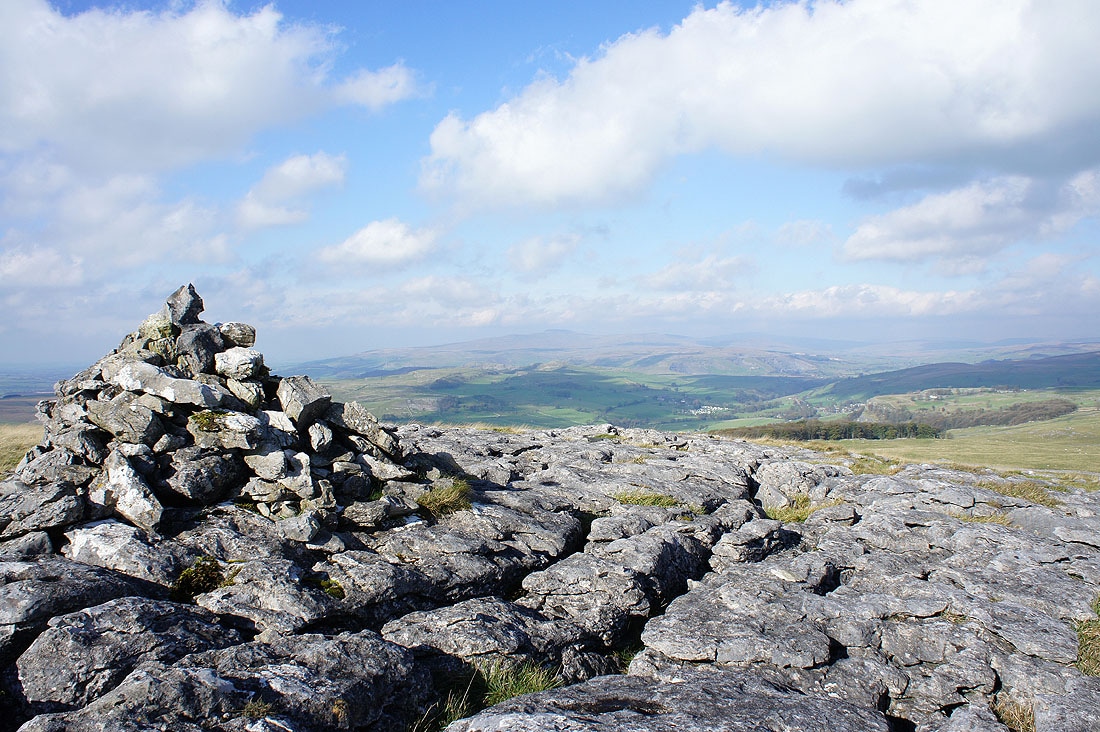
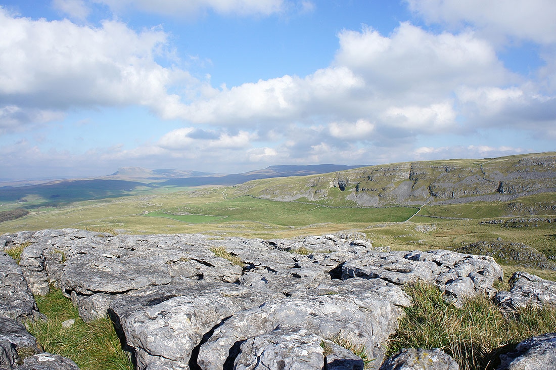
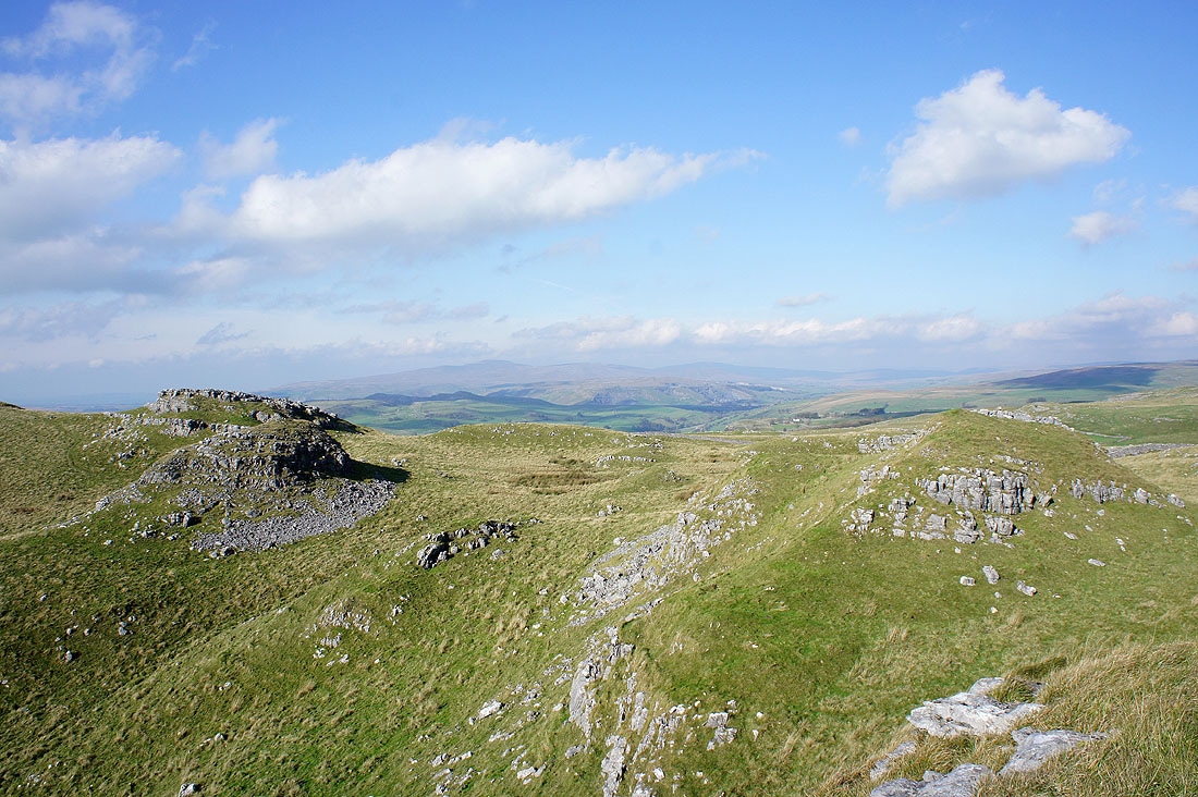
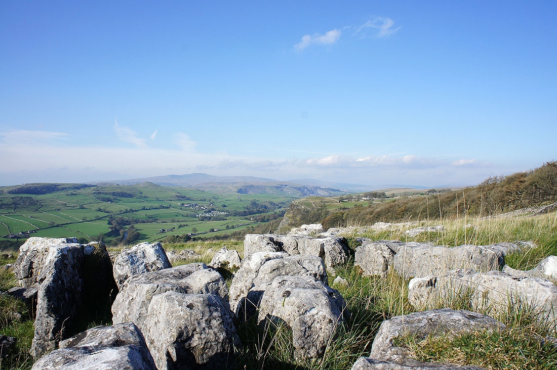
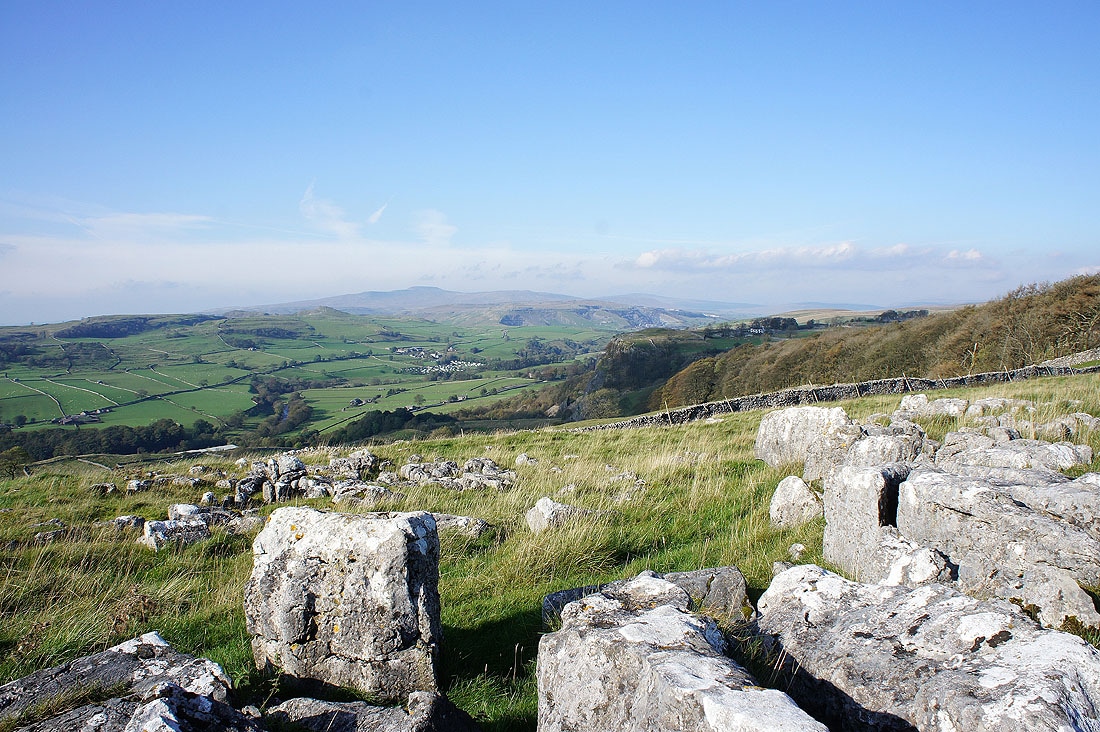
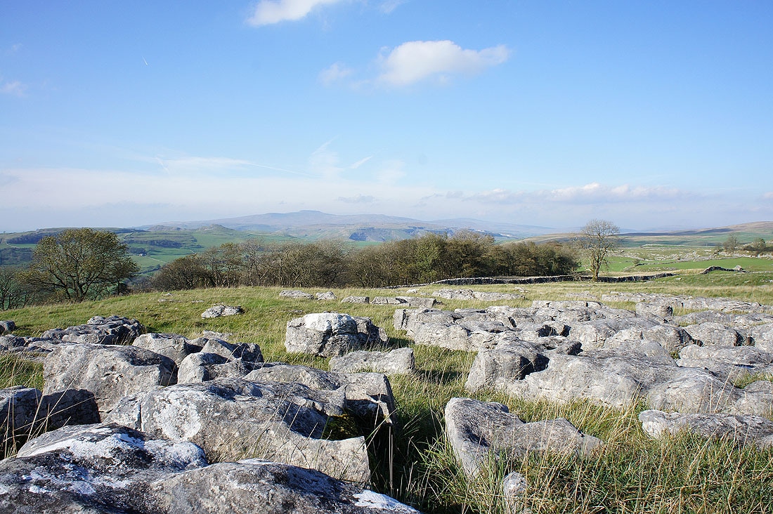
Views from the summit of Warrendale Knotts
Ingleborough
Attermire Scar
Attermire Scar and Rye Loaf Hill
Panorama from Ingleborough round to Attermire Scar
Penyghent and Fountains Fell
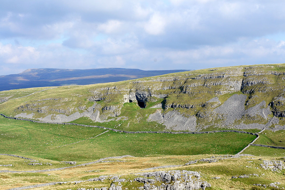
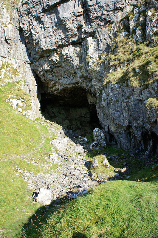
Zooming in on Victoria Cave
Rye Loaf Hill
Ingleborough
Penyghent and Fountains Fell
Attermire Scar
Heading back to the path below Attermire Scar
Warrendale Knotts in front of Ingleborough
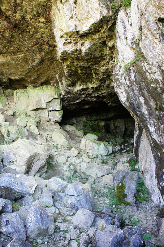
Victoria Cave..
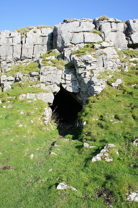
Jubilee Cave
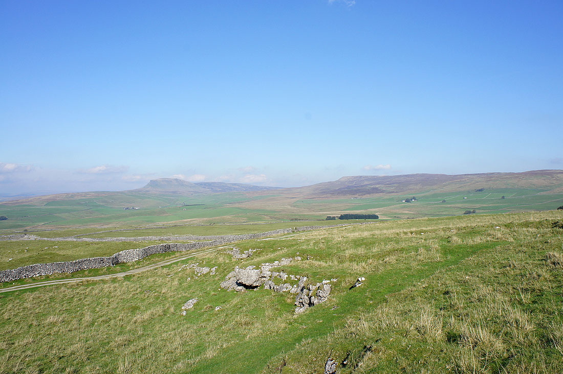
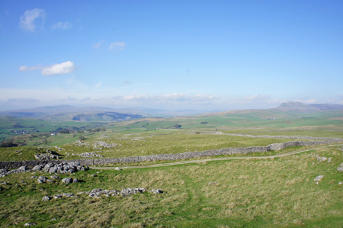
Penyghent and Fountains Fell from above Jubilee Cave
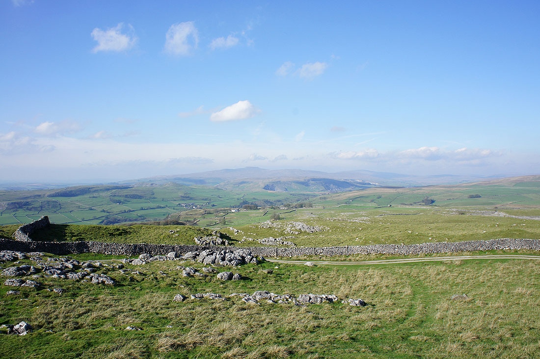
and Ingleborough
Ingleborough and Penyghent
The next few photos are from the side of the road from Langcliffe across to Malham which I followed north for a mile to join the bridleway down to Stainforth
Ingleborough across Ribblesdale..
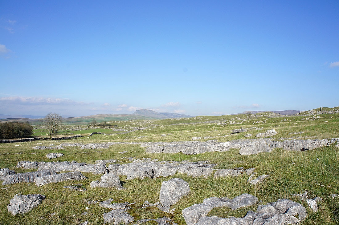
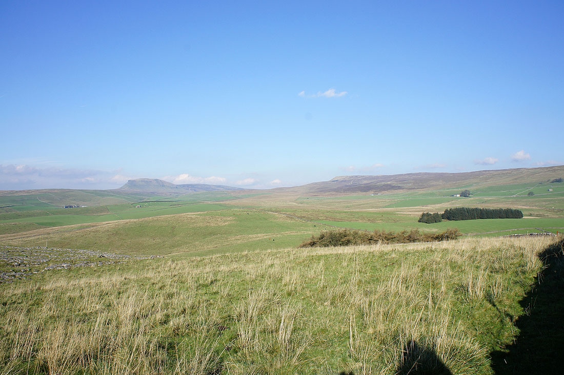
Penyghent
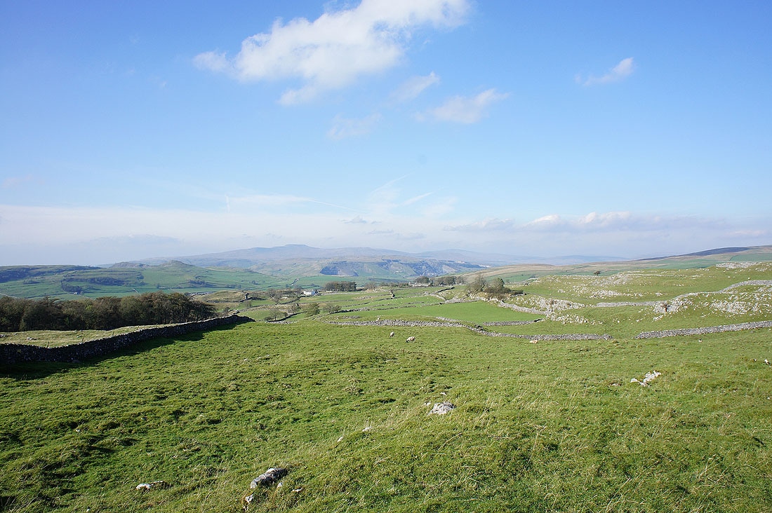
Ingleborough and Winskill
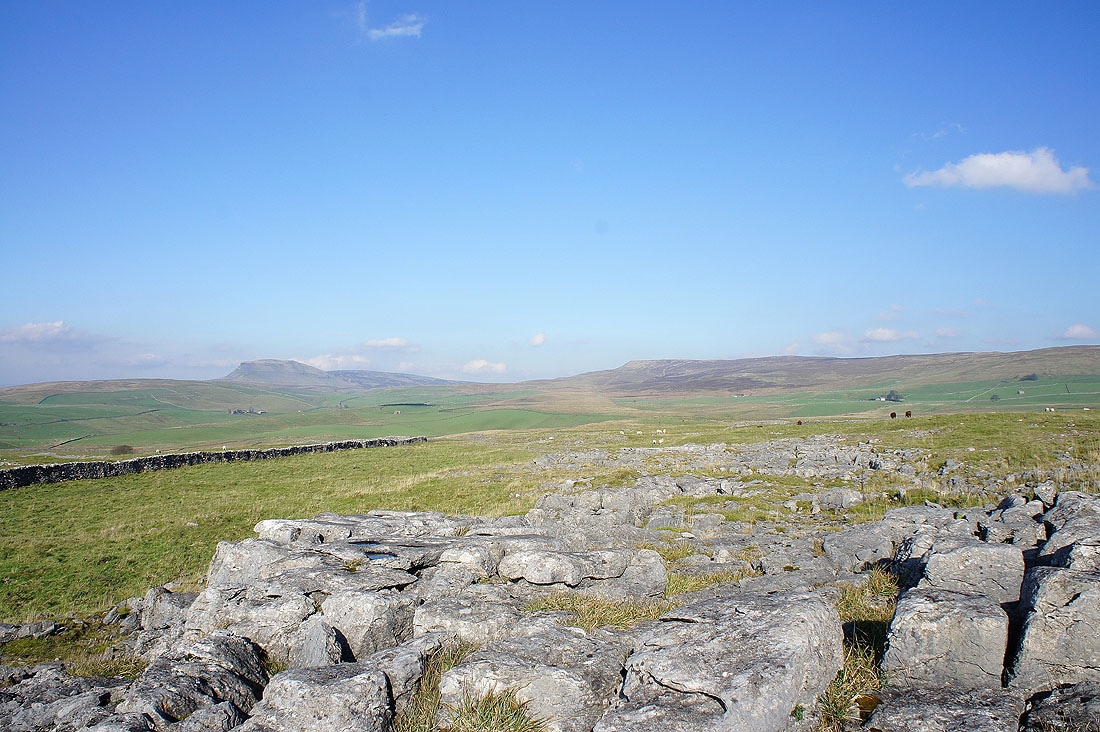
Penyghent and Fountains Fell from Winskill Stones
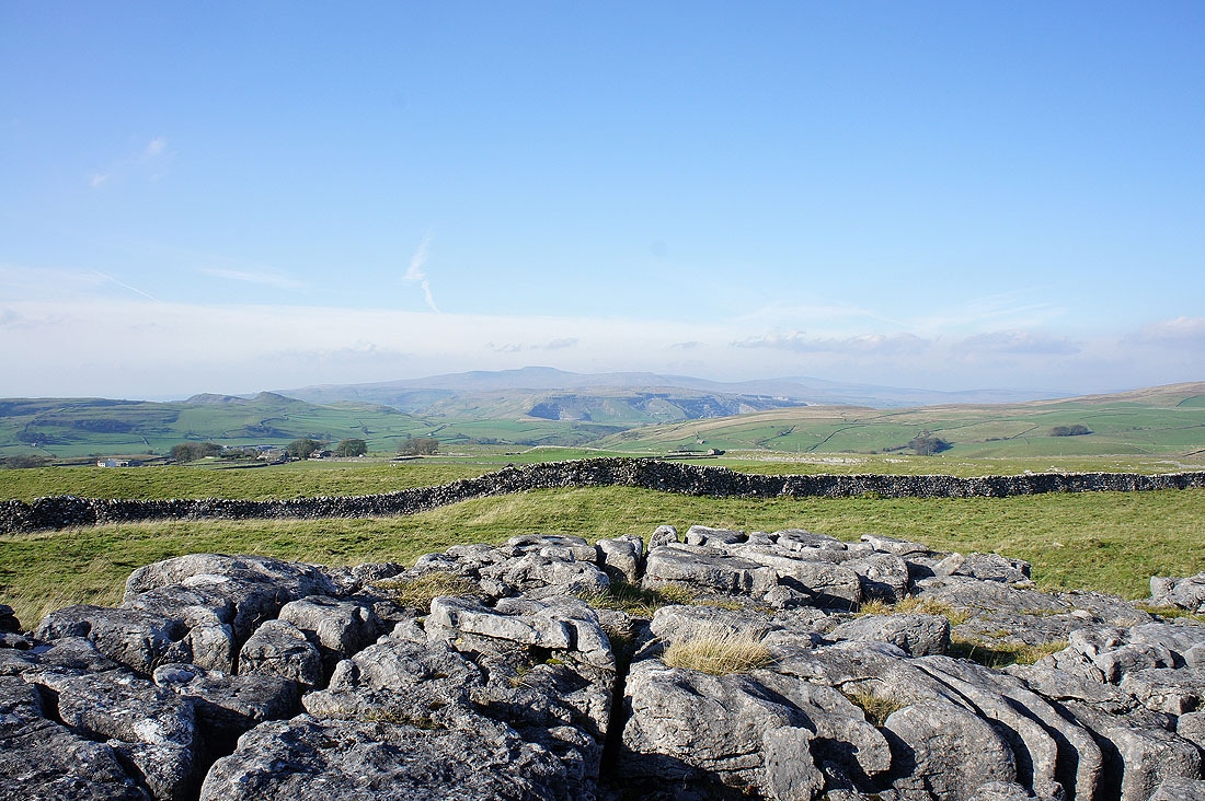
and Ingleborough
Panorama from Ingleborough round to Fountains Fell
Penyghent and Fountains Fell from the bridleway down to Stainforth
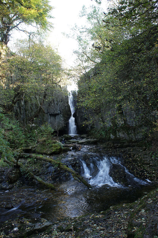
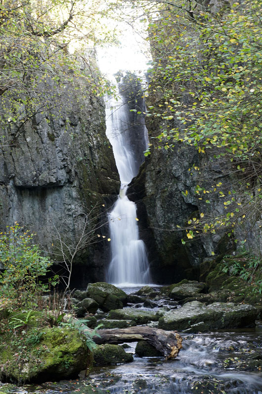
Catrigg Force..
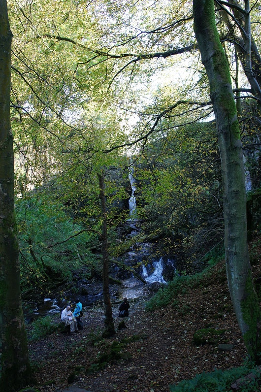
Its setting in a wooded glade
Heading down to Stainforth
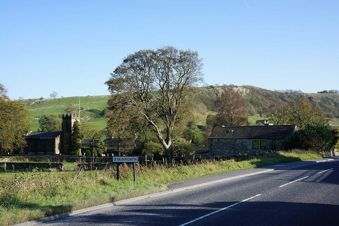
In Stainforth
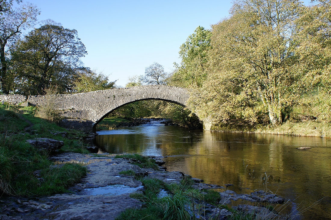
Stainforth Bridge over the Ribble
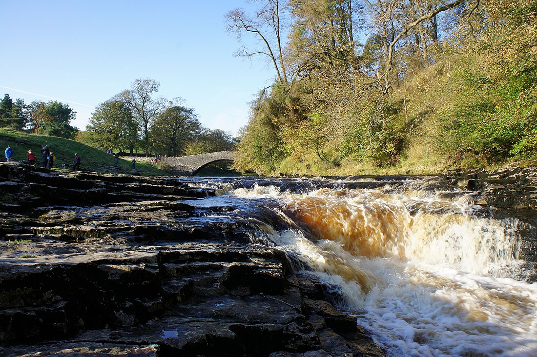
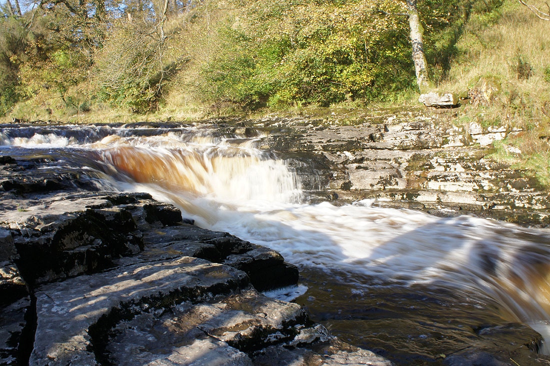
Stainforth Force..
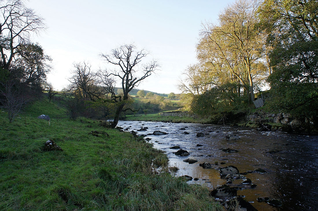
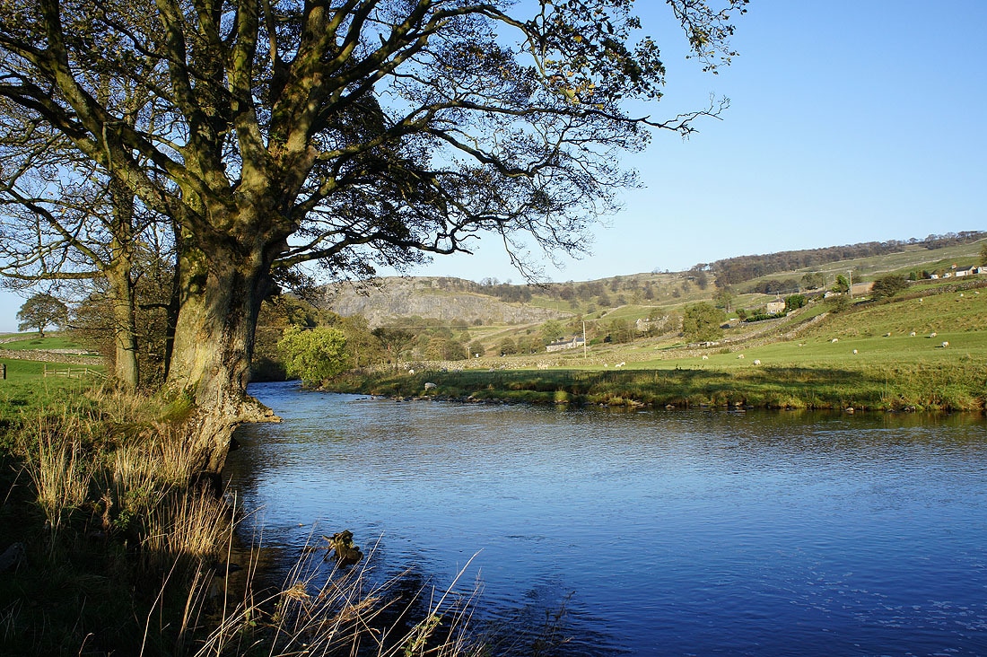
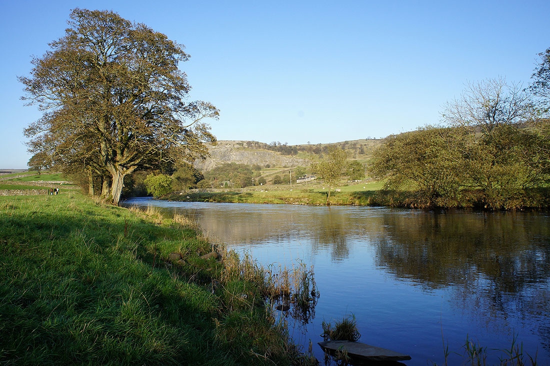
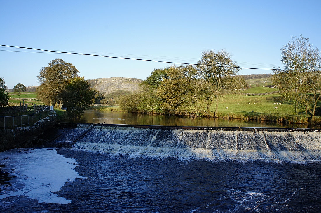
By the Ribble on the way back to Langcliffe....
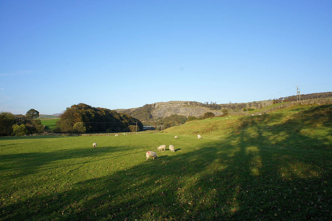
Stainforth Scar in the distance
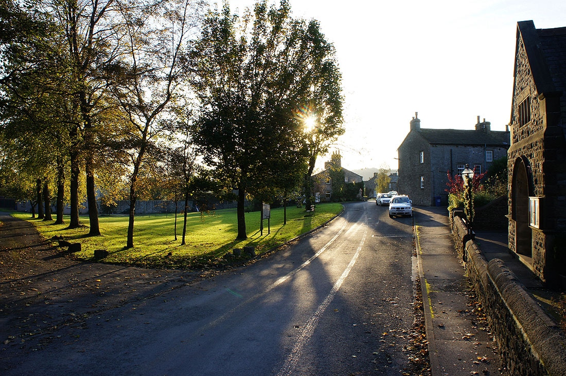
Back in Langcliffe
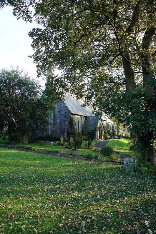
and St. John's church in Langcliffe
