22nd October 2016 - Sponds Hill to Shining Tor
Walk Details
Distance walked: 13.8 miles
Total ascent: 2541 ft
OS map used: OL24 - The Peak District, White Peak area
Time taken: 7 hrs
Route description: Lamaload Reservoir-Hooleyhey Lane-Erwin Lane-Bank Lane-Saddle Cote-Moss Brook-B5470-Black Brook-Further Harrop Farm-Gausie Brow-Gritstone Trail-Sponds Hill-Bakestonedale Road-Charles Head-Charles Head Farm-Near Carr Farm-Side End Lane-Fivelane Ends-Taxal Edge-Windgather Rocks-Pym Chair-Cats Tor-Shining Tor-Andrew's Edge-Hooleyhey Lane-Lamaload Reservoir
With the clocks going back next weekend this will definitely be the last walk of this sort of length that I do until next spring. I almost bit off more than I could chew though with the route that I chose. With hindsight I shouldn't have headed as far west from the Windgather Rocks to Shining Tor ridge as I did to get to Sponds Hill, but I was determined to combine them into one walk. It was the detour as I was walking up from Todd Brook to Fivelane-ends in the second half of the afternoon to avoid a field full of bulls that really didn't help though. I decided to head for these western moors of the Peak District in the hope of seeing the best of the weather with them being relatively sheltered from the brisk easterly breeze. It started a bit cool and grey when I set off but it soon brightened up to a mix of cloud and sunny spells. My favourite bit of the day was a half hour during late afternoon when the sun was out and cast long shadows and a lovely light on the moors. It was worth being up there later than I expected to be to see that.
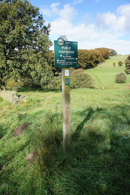
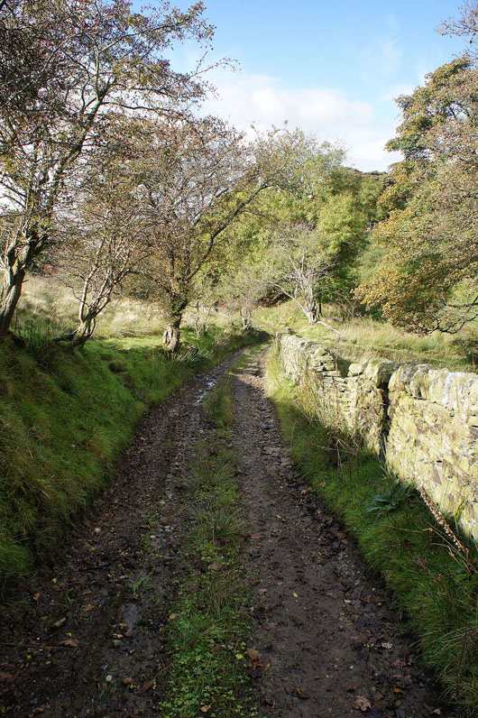
From the car park next to Lamaload Reservoir I set off by walking north up Hooleyhey Lane then up Erwin Lane. At the top of the hill I turned right onto Bank Lane and when this byway started to descend into the Todd Brook valley I turned left onto the footpath to Broad Moss, then left again down the hillside of Saddle Cote, across Moss Brook and up to the B5470. On the other side of the road I took the path down to and across Black Brook, then left at a path junction to Further Harrop Farm. I then took a path down to and across Black Brook to follow a tree lined path west, over the brook again and then along a track up the hillside of Gausie Brow. When I reached the Gritstone Trail I turned right and followed it up Brink Brow to Bakestonedale Road and after a short walk east along the road up onto Sponds Hill. After having lunch here I returned to Bakestonedale Road and walked east along it to its junction with Macclesfield Road. The path opposite the junction was taken and followed downhill before turning right to take the path to Charles Head Farm. I then made my way down to and across Todd Brook via a footbridge then up to Near Carr Farm. I was then supposed to take the path from here up to Fivelane-ends but because of the cattle I ended up taking the path along the access road from Near Carr Farm to Side End Lane and then up Side End Lane to Fivelane-ends. Now back on track, I made my way along the path to Taxal Edge and up onto Windgather Rocks. The ridge was then followed south by the road to Pym Chair, then up onto Cats Tor and Shining Tor. A brief stop was made to take in the view before heading back towards Cats Tor to take the path to Andrew's Edge signposted for Lamaload Reservoir. Once back on Hooleyhey Lane there was a short walk north along it back to the car park.
Total ascent: 2541 ft
OS map used: OL24 - The Peak District, White Peak area
Time taken: 7 hrs
Route description: Lamaload Reservoir-Hooleyhey Lane-Erwin Lane-Bank Lane-Saddle Cote-Moss Brook-B5470-Black Brook-Further Harrop Farm-Gausie Brow-Gritstone Trail-Sponds Hill-Bakestonedale Road-Charles Head-Charles Head Farm-Near Carr Farm-Side End Lane-Fivelane Ends-Taxal Edge-Windgather Rocks-Pym Chair-Cats Tor-Shining Tor-Andrew's Edge-Hooleyhey Lane-Lamaload Reservoir
With the clocks going back next weekend this will definitely be the last walk of this sort of length that I do until next spring. I almost bit off more than I could chew though with the route that I chose. With hindsight I shouldn't have headed as far west from the Windgather Rocks to Shining Tor ridge as I did to get to Sponds Hill, but I was determined to combine them into one walk. It was the detour as I was walking up from Todd Brook to Fivelane-ends in the second half of the afternoon to avoid a field full of bulls that really didn't help though. I decided to head for these western moors of the Peak District in the hope of seeing the best of the weather with them being relatively sheltered from the brisk easterly breeze. It started a bit cool and grey when I set off but it soon brightened up to a mix of cloud and sunny spells. My favourite bit of the day was a half hour during late afternoon when the sun was out and cast long shadows and a lovely light on the moors. It was worth being up there later than I expected to be to see that.
From the car park next to Lamaload Reservoir I set off by walking north up Hooleyhey Lane then up Erwin Lane. At the top of the hill I turned right onto Bank Lane and when this byway started to descend into the Todd Brook valley I turned left onto the footpath to Broad Moss, then left again down the hillside of Saddle Cote, across Moss Brook and up to the B5470. On the other side of the road I took the path down to and across Black Brook, then left at a path junction to Further Harrop Farm. I then took a path down to and across Black Brook to follow a tree lined path west, over the brook again and then along a track up the hillside of Gausie Brow. When I reached the Gritstone Trail I turned right and followed it up Brink Brow to Bakestonedale Road and after a short walk east along the road up onto Sponds Hill. After having lunch here I returned to Bakestonedale Road and walked east along it to its junction with Macclesfield Road. The path opposite the junction was taken and followed downhill before turning right to take the path to Charles Head Farm. I then made my way down to and across Todd Brook via a footbridge then up to Near Carr Farm. I was then supposed to take the path from here up to Fivelane-ends but because of the cattle I ended up taking the path along the access road from Near Carr Farm to Side End Lane and then up Side End Lane to Fivelane-ends. Now back on track, I made my way along the path to Taxal Edge and up onto Windgather Rocks. The ridge was then followed south by the road to Pym Chair, then up onto Cats Tor and Shining Tor. A brief stop was made to take in the view before heading back towards Cats Tor to take the path to Andrew's Edge signposted for Lamaload Reservoir. Once back on Hooleyhey Lane there was a short walk north along it back to the car park.
Route map
© Crown copyright. All rights reserved. License number PU 100034184.
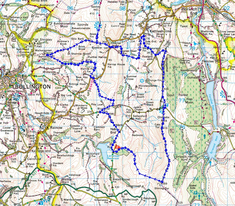
A shot of Lamaload Reservoir as I leave the car park above it on Hooleyhey Lane
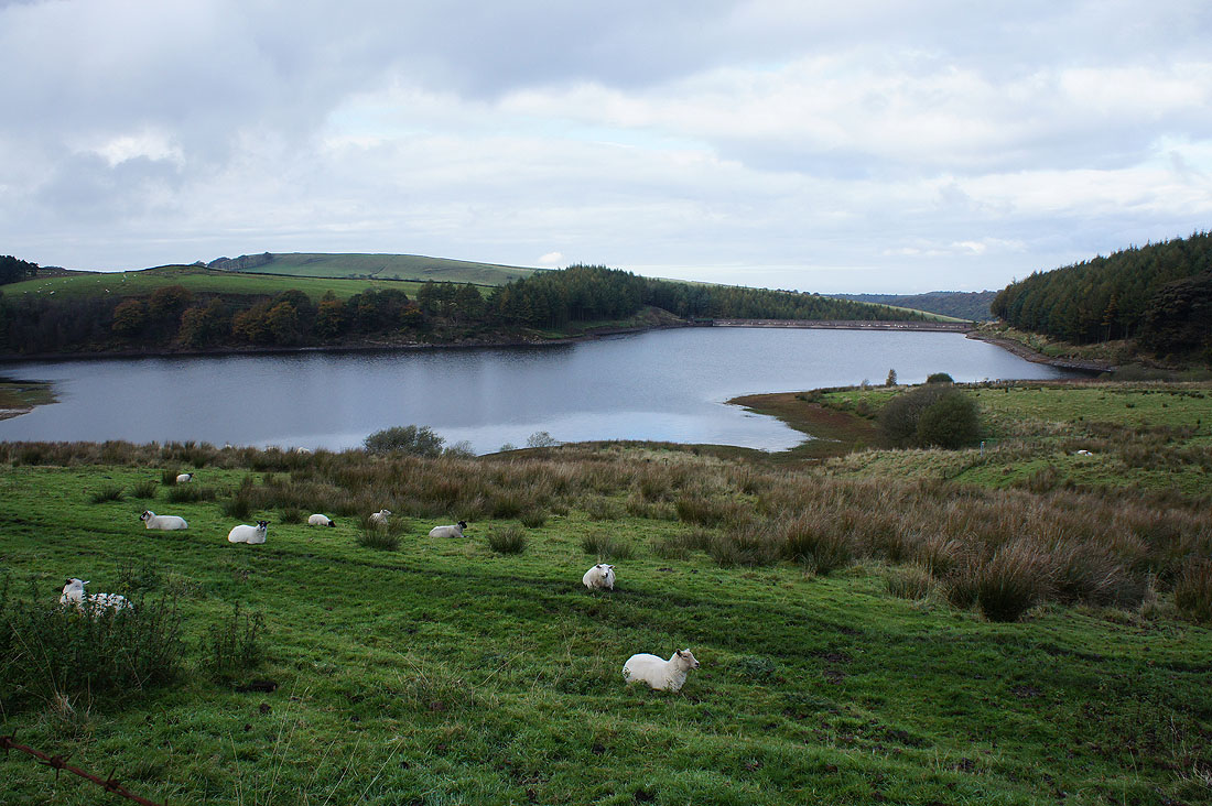
The memorial stone marked on the map on Erwin Lane records the fall of John Turner in a snowstorm in 1755
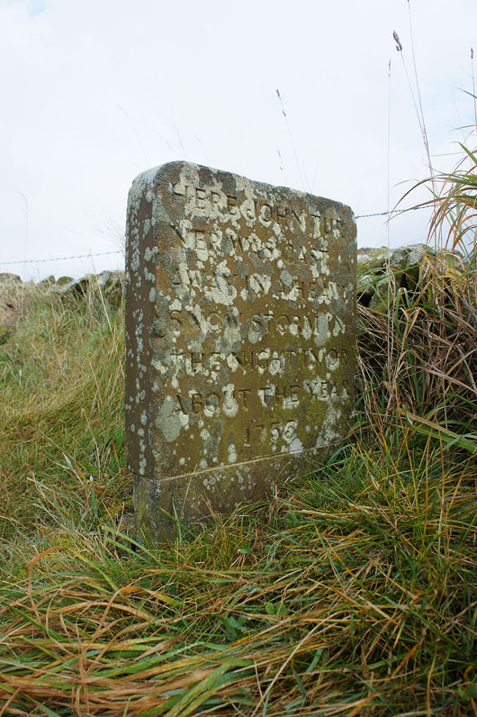
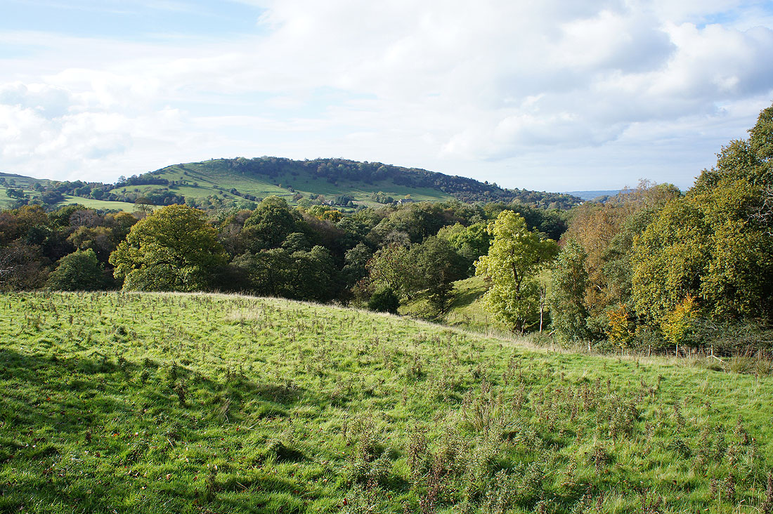
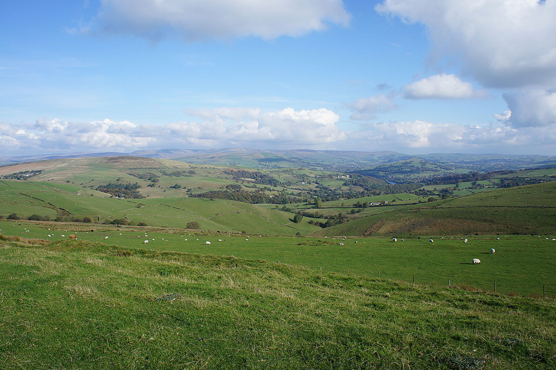
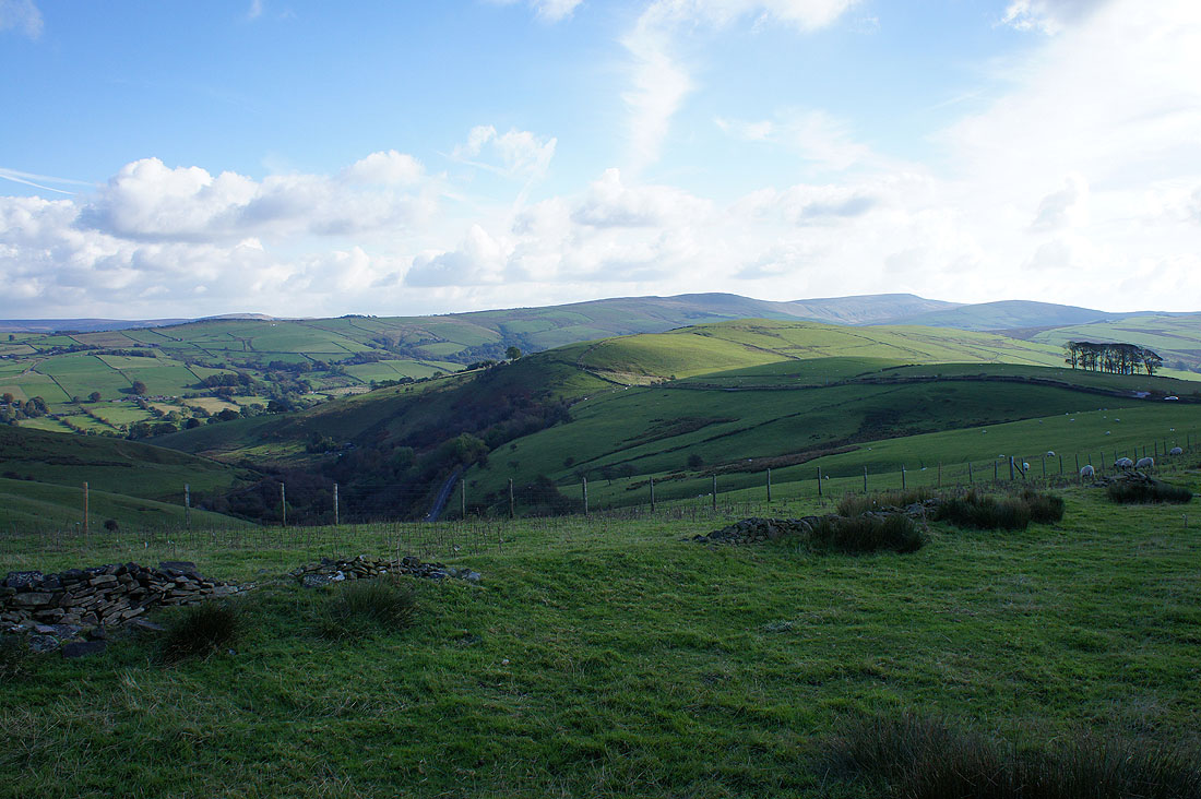
Looking north from Erwin Lane to Charles Head, Whaley Moor, the Todd Brook valley and Windgather Rocks. I'll be walking through that countryside later in the day.
and back to a distant Shining Tor
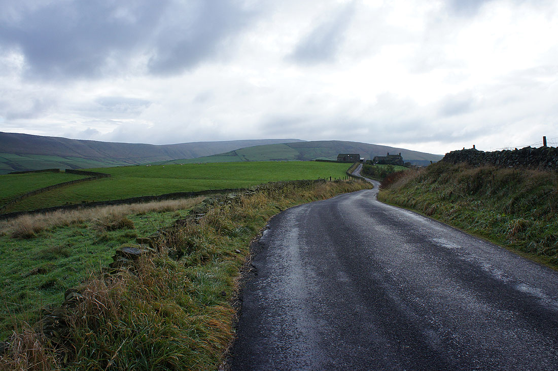
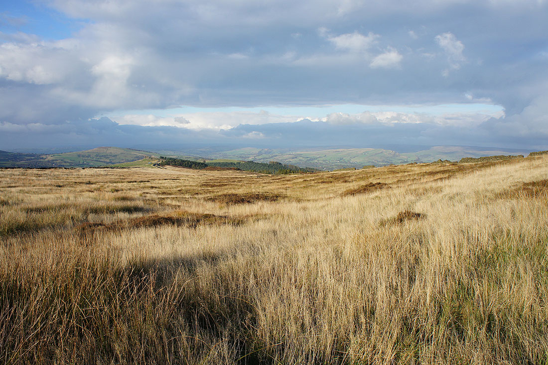
On the footpath down to Moss Brook and I can see where I'll soon be, the ridge up to the top of Brink Brow
|
|
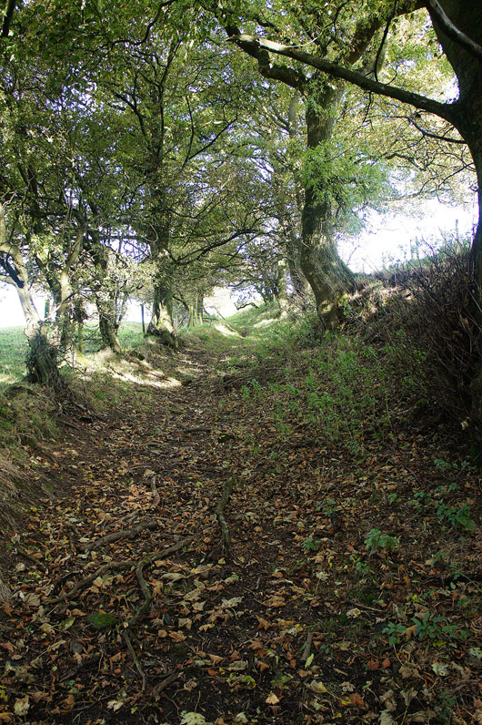
Across Black Brook and then up the path flanked by trees
|
|
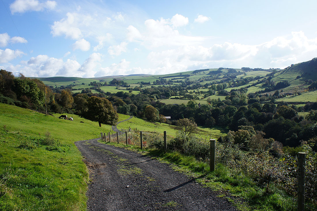
Onto the footpath towards Bollington down the track to Further Harrop Farm
Billinge Hill
and autumn colours on the slopes of Brink Brow
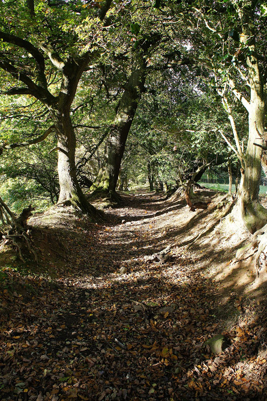
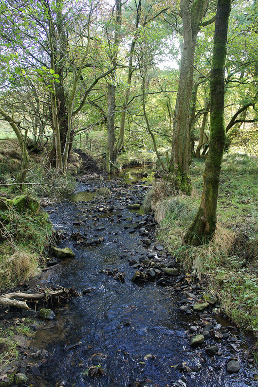
A pleasant tree lined path to follow above Black Brook
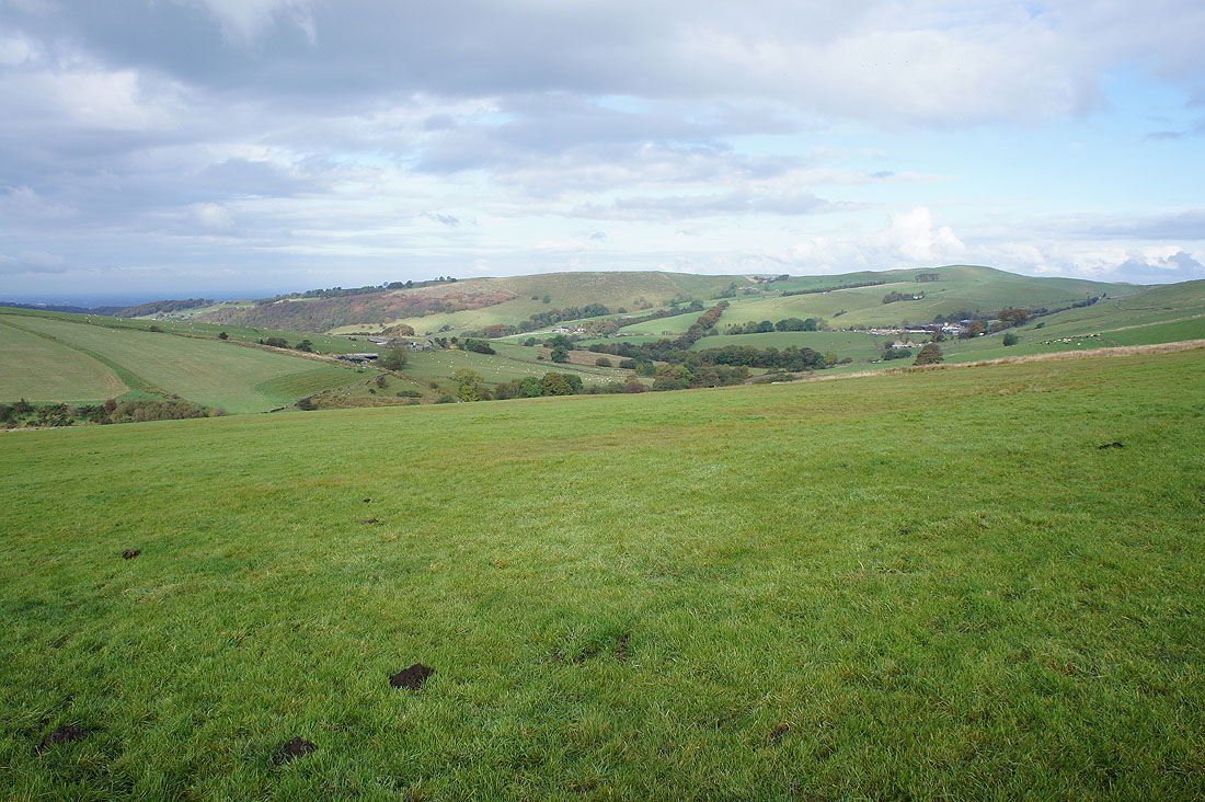
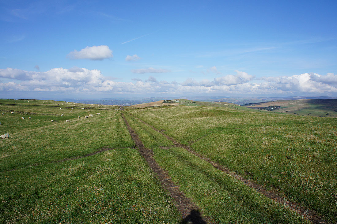
As I walk along the track up Gausie Brow a look back at the countryside that I've walked through since I set off
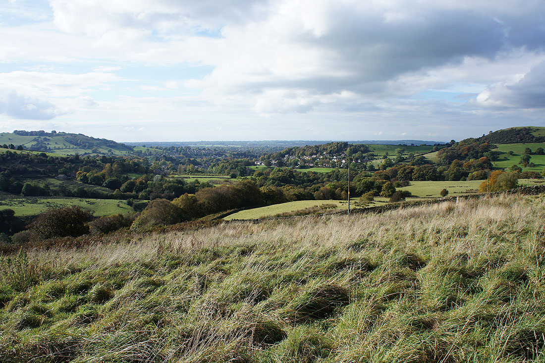
The village of Bollington
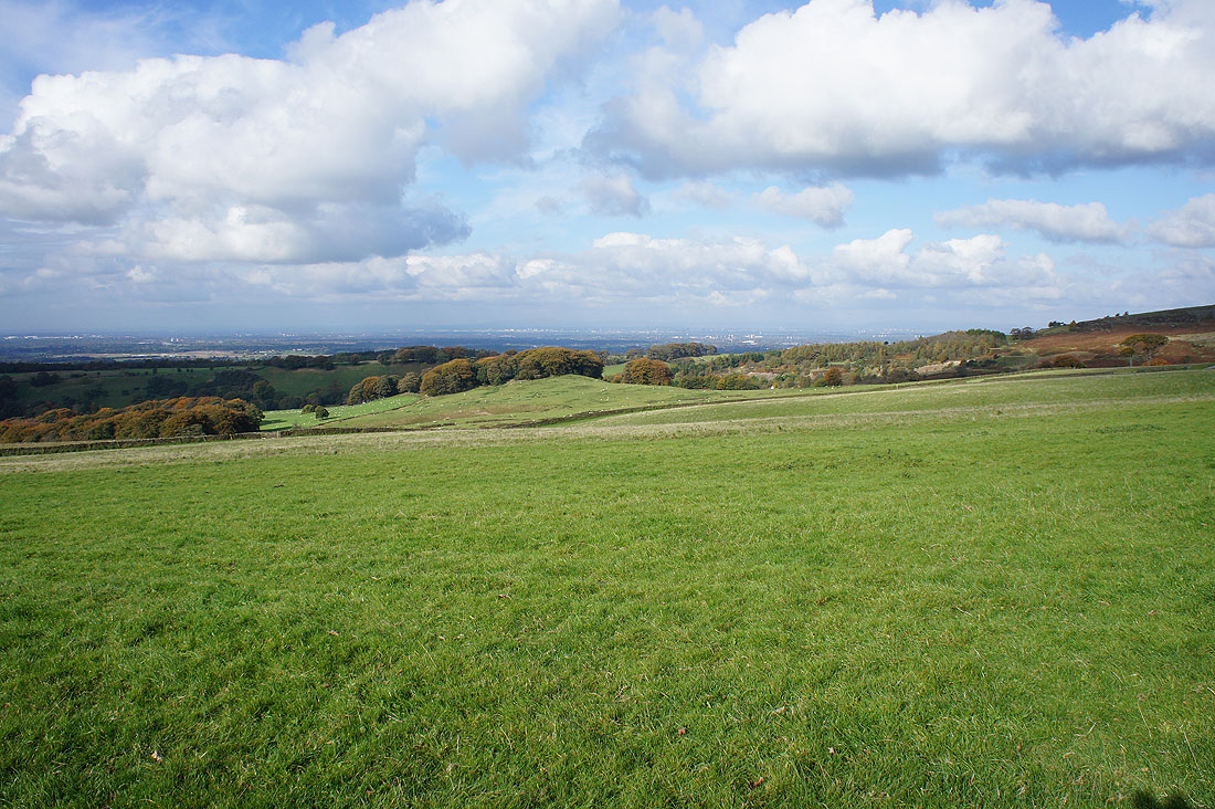
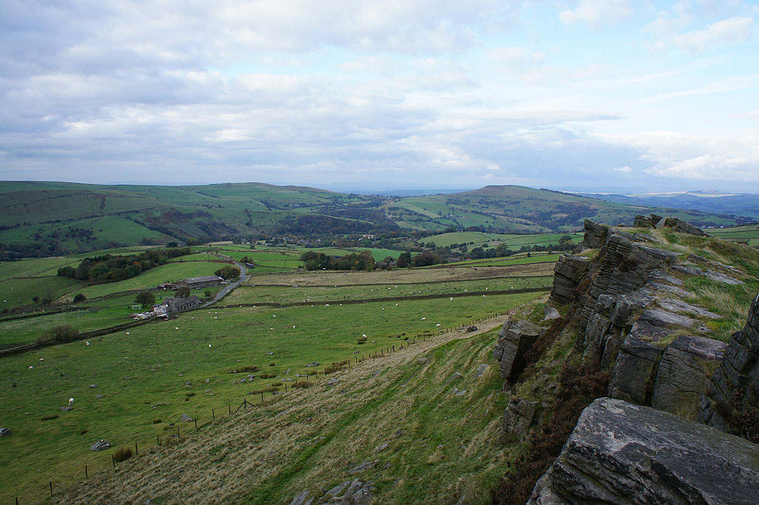
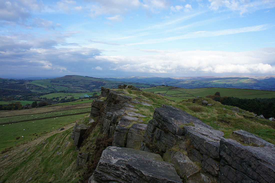
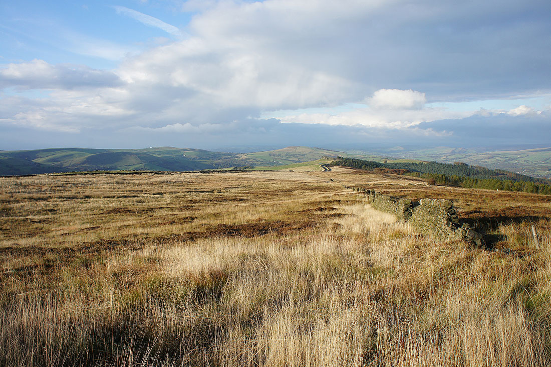
On the Gritstone Trail up Brink Brow and the view opens up to the northwest to Manchester
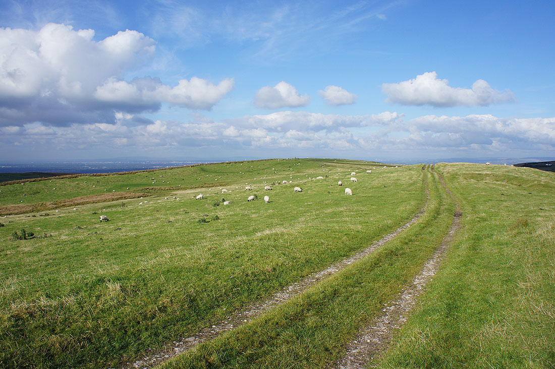
and as I arrive on Sponds Hill I can make out Winter Hill and the West Pennine Moors in the distance
If I turn a little to the right the distant hills are now those around the western end of Longdendale
My favourite view from here though is Kinder Scout beyond Chinley Churn and the Goyt Valley
Alderley Edge and the Cheshire Plain out to the west
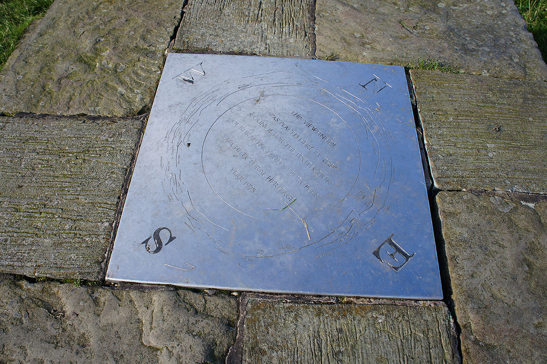
The view indicator on Sponds Hill. Some of the hills mentioned between south and west, Long Mynd and the Clywdian Hills, are a long way away in Shropshire and North Wales. When the visibility was better later in the day I could definitely make out the outlines of hills in that direction.
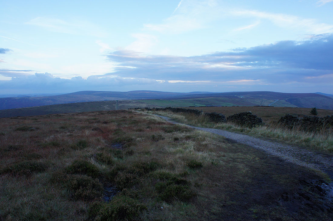
Windgather Rocks to Shining Tor in the distance as I head back to Bakestonedale Road
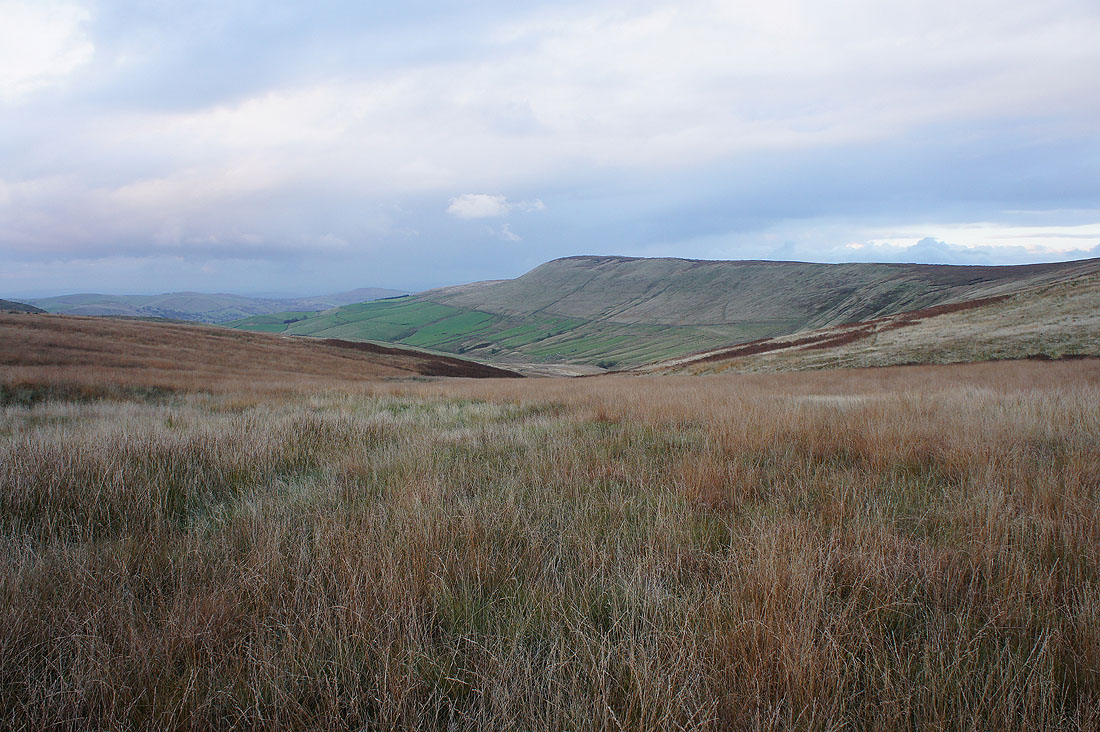
Autumn colours as I look towards Kettleshulme from the side of the hill of Charles Head
Windgather Rocks as I descend towards Todd Brook from Charles Head Farm
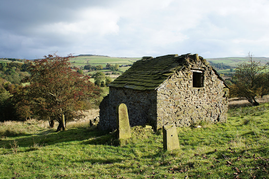
This barn I passed on the way down made a great subject for a photo
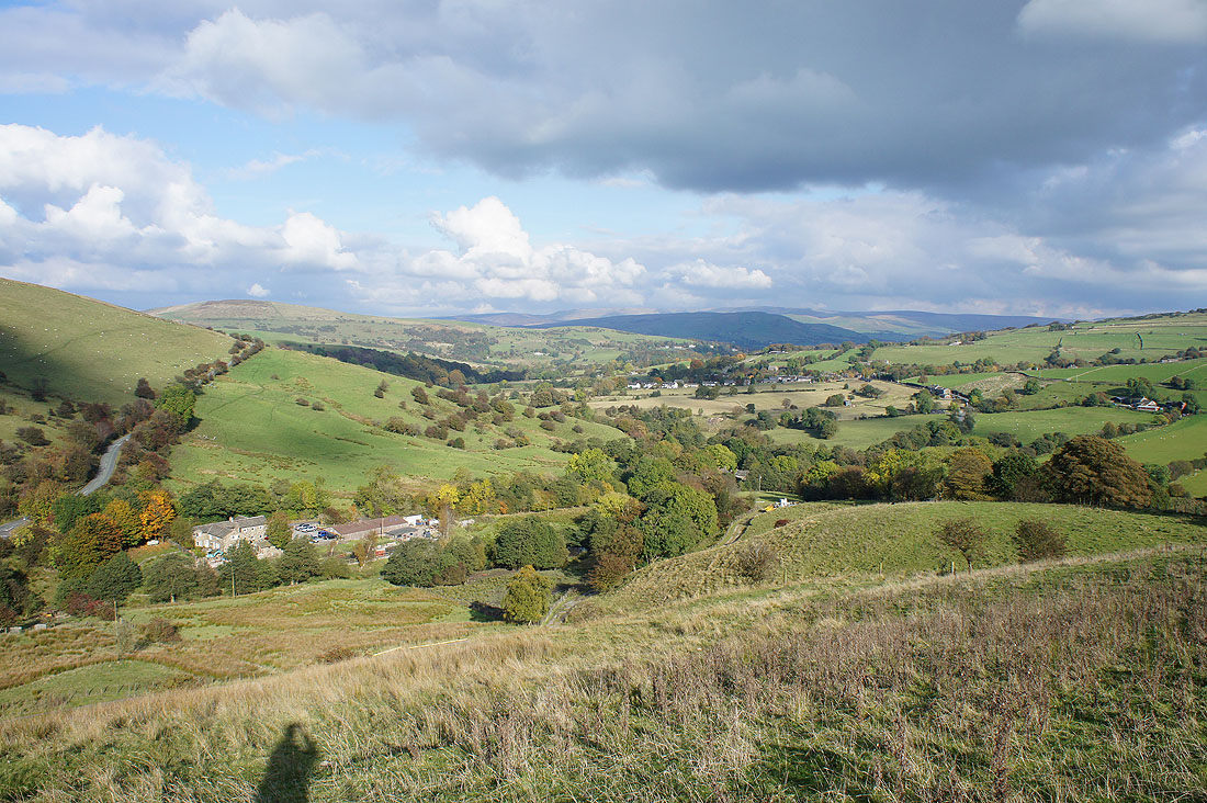
Some time later and with a fairly light shower passing through, looking across the Todd Brook valley as I arrive at Fivelane-ends. A field full of bulls had meant a bit of a detour.
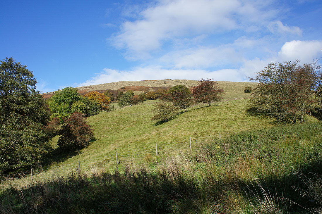
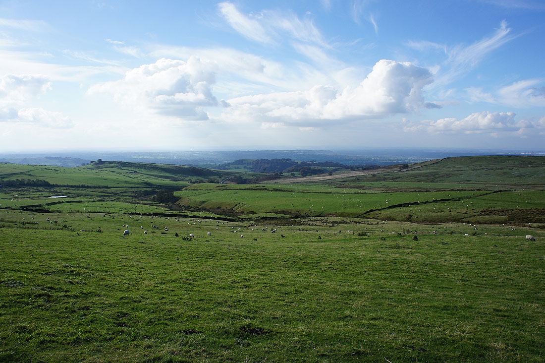
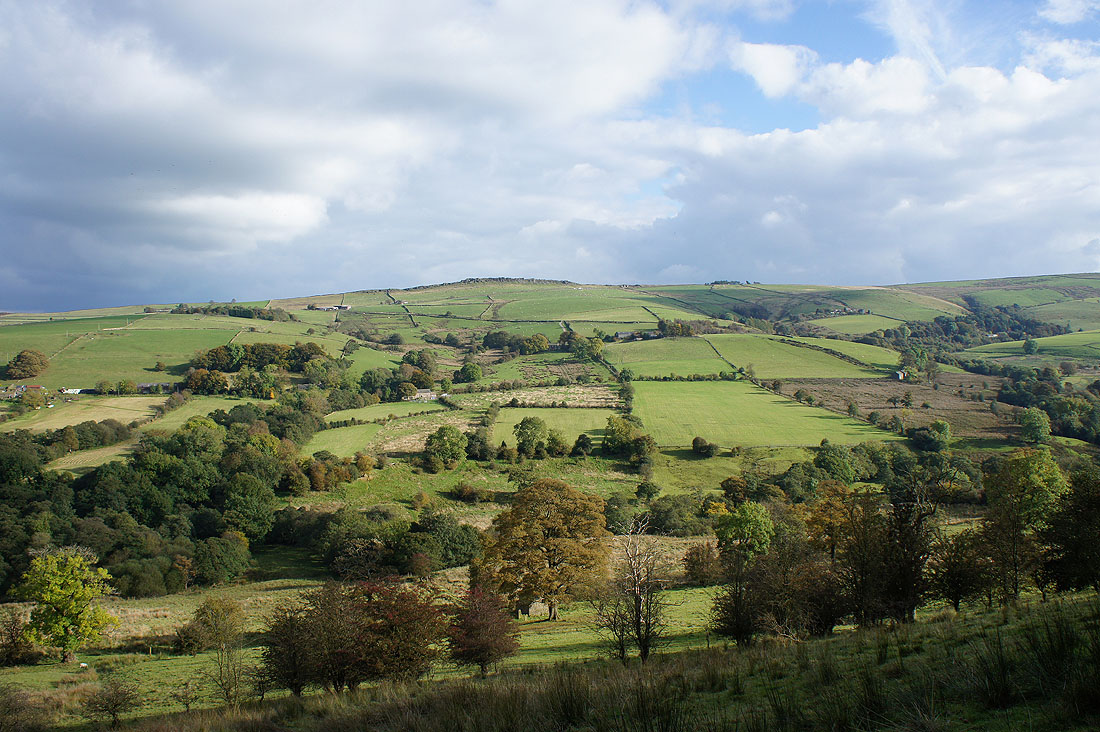
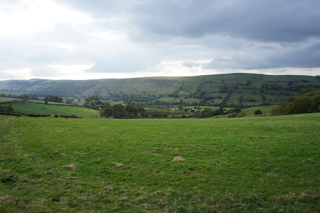
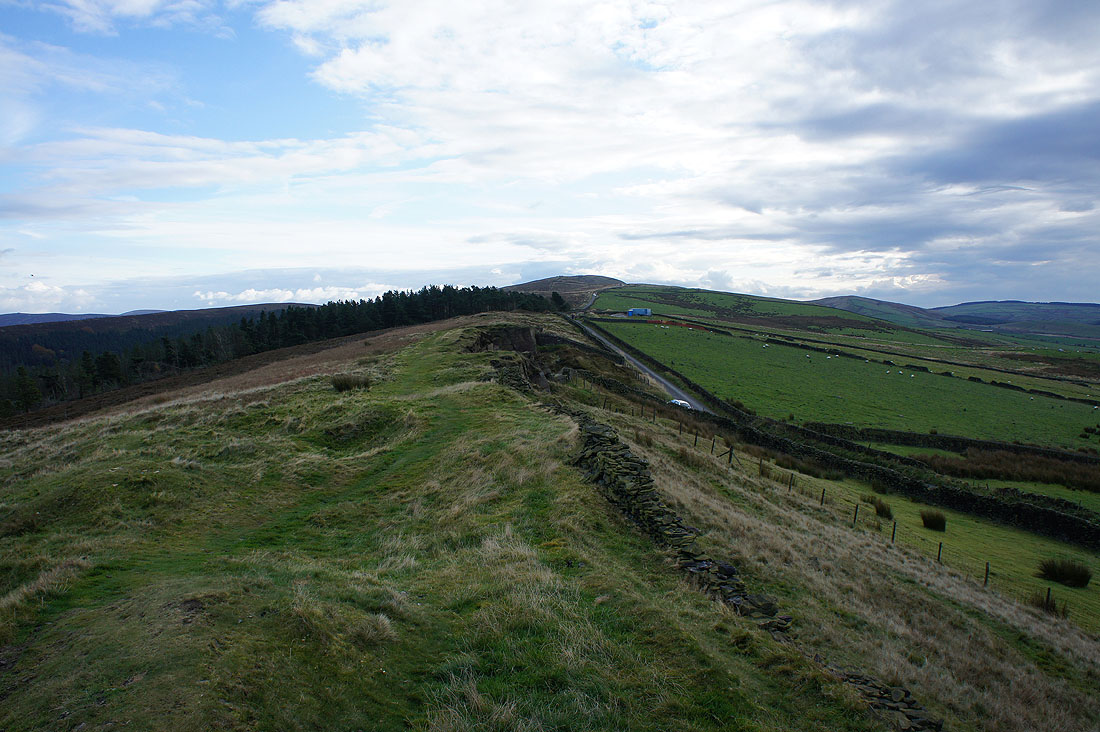
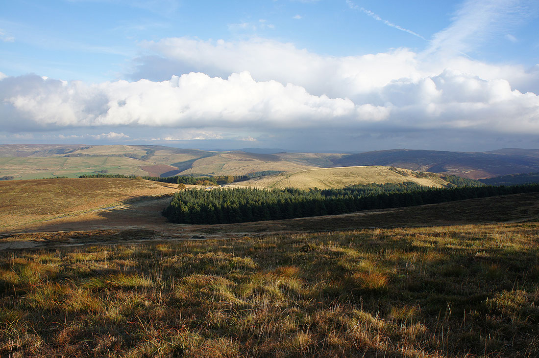
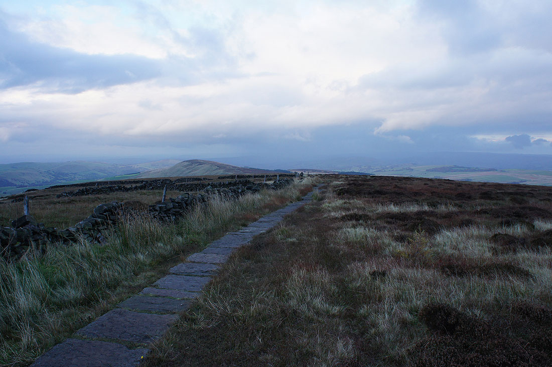
Whalley Moor as I walk along the track towards Taxal Edge
and take the path to Windgather Rocks
On Windgather Rocks. Kettleshulme and Whaley Moor.
Turning a bit to the right and there's some sunshine on its way from Cown Edge and the moors around Hayfield
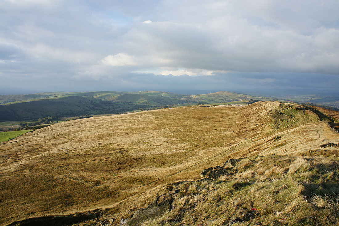
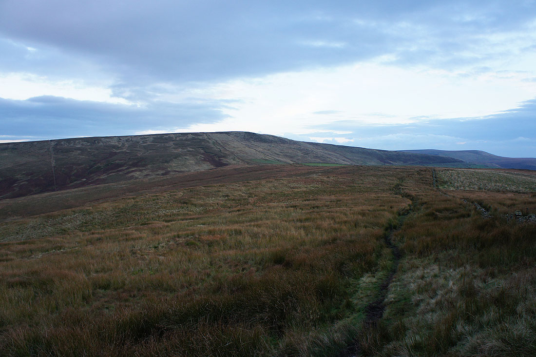
Looking south from Windgather Rocks to Pym Chair and Cats Tor
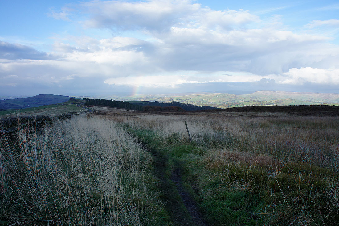
The sunshine is on its way as I head for Pym Chair, along with a bit of a rainbow
Ten minutes later and at Pym Chair the late afternoon sun gives a great colour to the moors. Looking north to Whaley Moor, Windgather Rocks, Lantern Pike and Chinley Churn.
Coombes Edge, Foxlow Edge and Burbage Edge to the east as I head up Cats Tor
Charles Head, Sponds Hill, the Todd Brook valley and Whaley Moor from Cats Tor
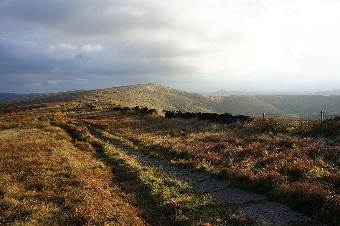
It's 1700 and the sun puts on a last hurrah as I head for Shining Tor. The pointed hill to its right is Shutlingsloe.
The sun has gone as I look back and there's a dark cloud and shower over Kinder Scout
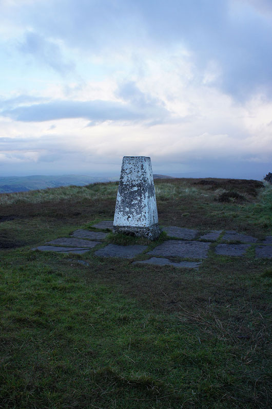
At the trig point on Shining Tor
Shutlingsloe, Macclesfield Forest and the Cat and Fiddle road
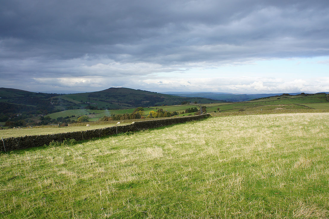
Axe Edge Moor in the distance
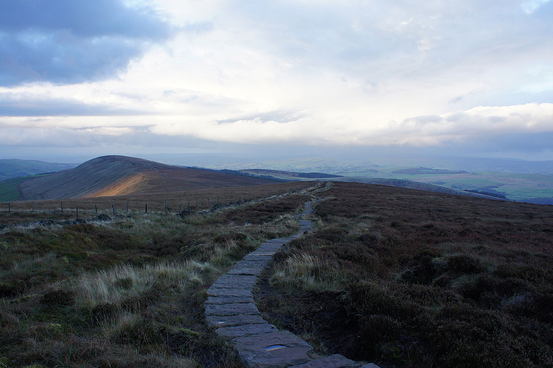
Heading back towards Cats Tor to pick up the path to Lamaload Reservoir
Cats Tor from the path to Andrew's Edge..
..and looking back to Shining Tor from Andrew's Edge
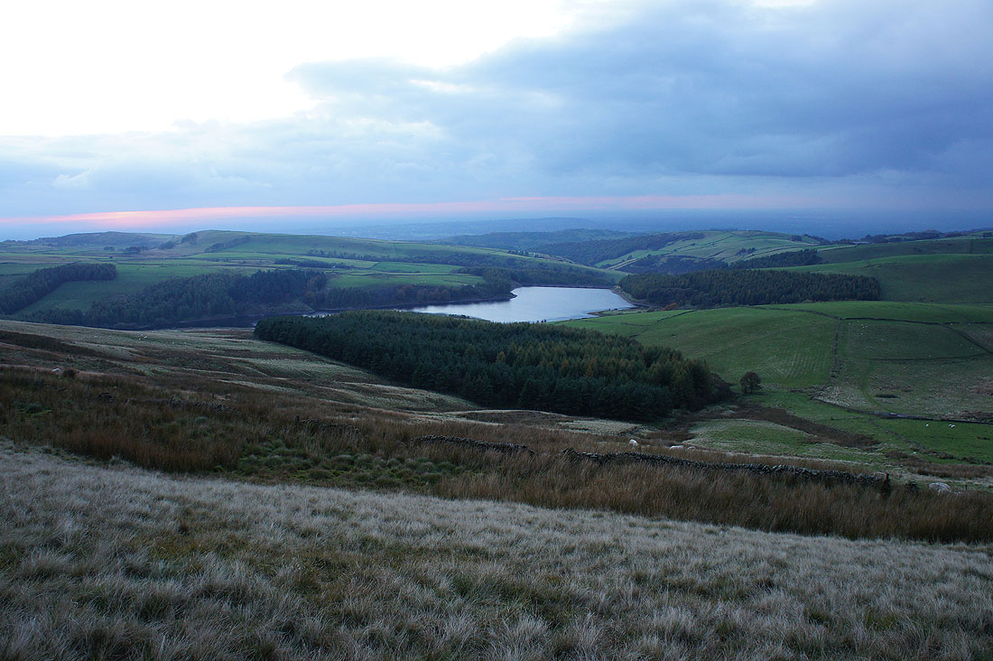
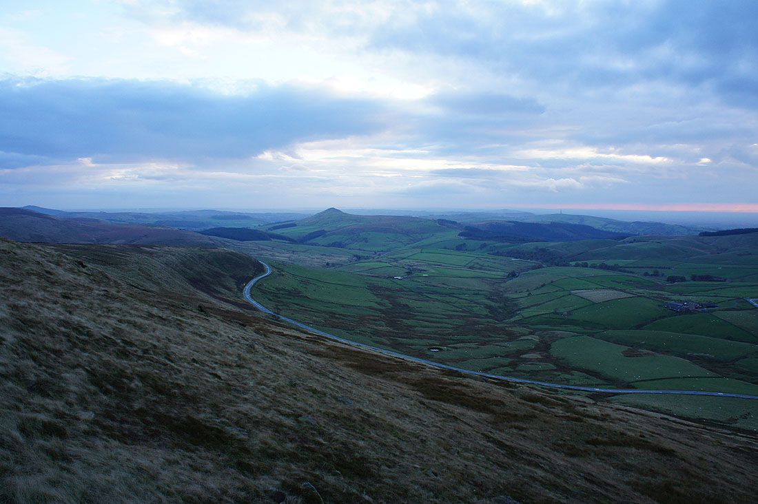
The sun is setting as Lamaload Reservoir appears below. The end is in sight.