22nd September 2012 - Wolfhole Crag & Ward's Stone
Walk Details
Distance walked: 14.0 miles
Total ascent: 1841 ft
OS map used: OL41 - Forest of Bowland & Ribblesdale
Time taken: 8 hrs
Route description: Stoops Bridge, Abbeystead-Lower Lee-Tarnbrook-Gables Clough-Wolfhole Crag-Grey Crag-Ward's Stone-Cabin Flat-Higher Lee-Lower Lee-Stoops Bridge, Abbeystead
A long trek to visit the highest and third highest summits in the Forest of Bowland, Ward's Stone and Wolfhole Crag. Somewhere between a half and two thirds of the walk were on estate tracks with easy walking but the moorland crossings of Wolfhole Crag and Ward's Stone were really hard going, boggy, and concentration on where you were putting your feet was needed at all times. The wide ranging views more than made up for all the hard work.
I've visited these summits on separate occasions only once before and in each case I had no views to speak of. That's why I did the there and back to Wolfhole Crag to take advantage of the weather.
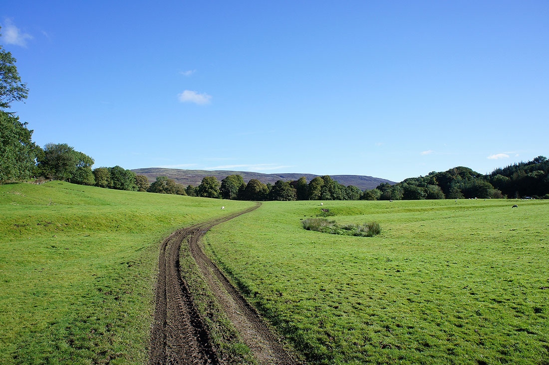
I started the walk from a small parking area at Stoops Bridge in the hamlet of Abbeystead. There's room for about half a dozen cars. From here I crossed the bridge to take a footpath across a field to the hamlet of Lower Lee. I then followed a lane to the hamlet of Tarnbrook. After a short time spent on the Wyre Way, I left this for an estate track that winds its way up Gables Clough to the saddle between Ward's Stone and Wolfhole Crag. I did the out and back to Wolfhole Crag and then I made my way across to Ward's Stone. My route back was across Cabin Flat to the saddle between Grit Fell and Ward's Stone and then an estate track that heads back down into Wyresdale. This brought me back to Lower Lee from where I retraced my steps to Stoops Bridge.
Total ascent: 1841 ft
OS map used: OL41 - Forest of Bowland & Ribblesdale
Time taken: 8 hrs
Route description: Stoops Bridge, Abbeystead-Lower Lee-Tarnbrook-Gables Clough-Wolfhole Crag-Grey Crag-Ward's Stone-Cabin Flat-Higher Lee-Lower Lee-Stoops Bridge, Abbeystead
A long trek to visit the highest and third highest summits in the Forest of Bowland, Ward's Stone and Wolfhole Crag. Somewhere between a half and two thirds of the walk were on estate tracks with easy walking but the moorland crossings of Wolfhole Crag and Ward's Stone were really hard going, boggy, and concentration on where you were putting your feet was needed at all times. The wide ranging views more than made up for all the hard work.
I've visited these summits on separate occasions only once before and in each case I had no views to speak of. That's why I did the there and back to Wolfhole Crag to take advantage of the weather.
I started the walk from a small parking area at Stoops Bridge in the hamlet of Abbeystead. There's room for about half a dozen cars. From here I crossed the bridge to take a footpath across a field to the hamlet of Lower Lee. I then followed a lane to the hamlet of Tarnbrook. After a short time spent on the Wyre Way, I left this for an estate track that winds its way up Gables Clough to the saddle between Ward's Stone and Wolfhole Crag. I did the out and back to Wolfhole Crag and then I made my way across to Ward's Stone. My route back was across Cabin Flat to the saddle between Grit Fell and Ward's Stone and then an estate track that heads back down into Wyresdale. This brought me back to Lower Lee from where I retraced my steps to Stoops Bridge.
Route map
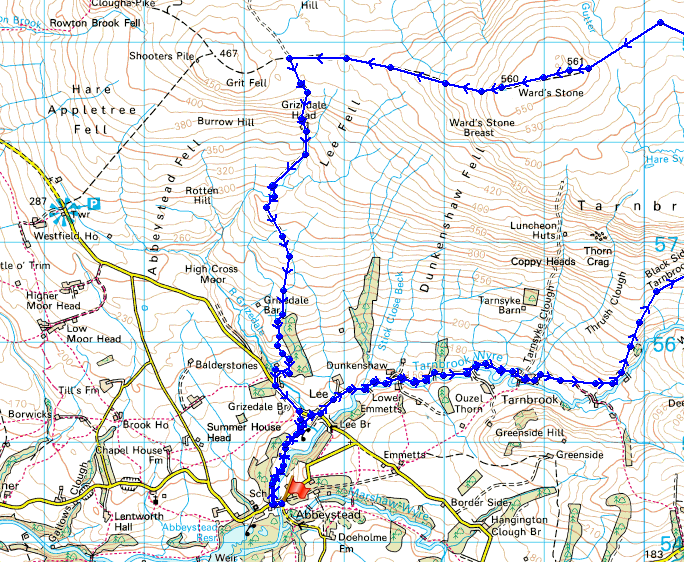
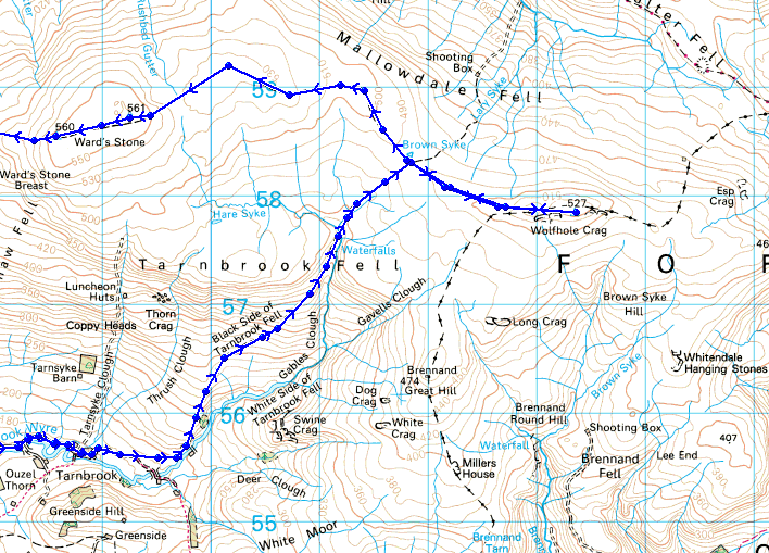
© Crown copyright. All rights reserved. License number PU 100034184.
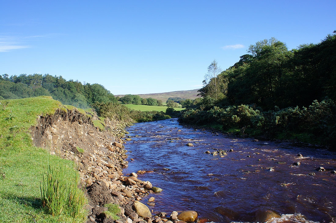
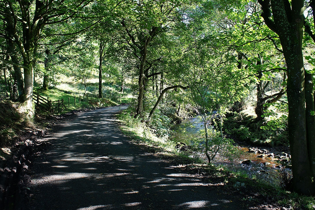
By the Tarnbrook Wyre at the start of the walk
Ward's Stone is still a long way away
On the lane to Tarnbrook with the Tarnbrook Wyre for company
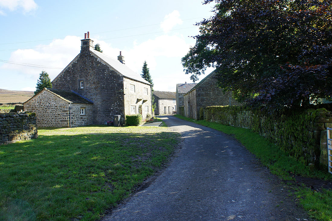
Passing through the hamlet of Tarnbrook
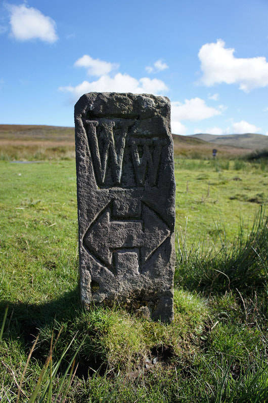
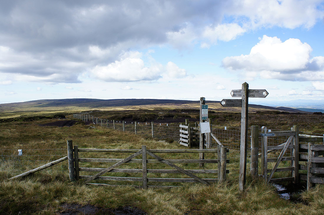
Waymark for the Wyre Way. I was on this trail only briefly as it passed through Tarnbrook.
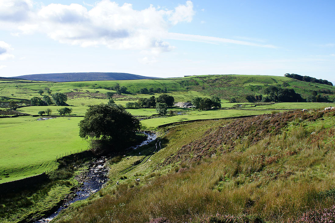
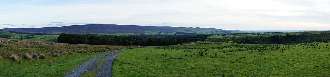
The valley of the Tarnbrook Wyre as I start to make my way uphill into Gables Clough
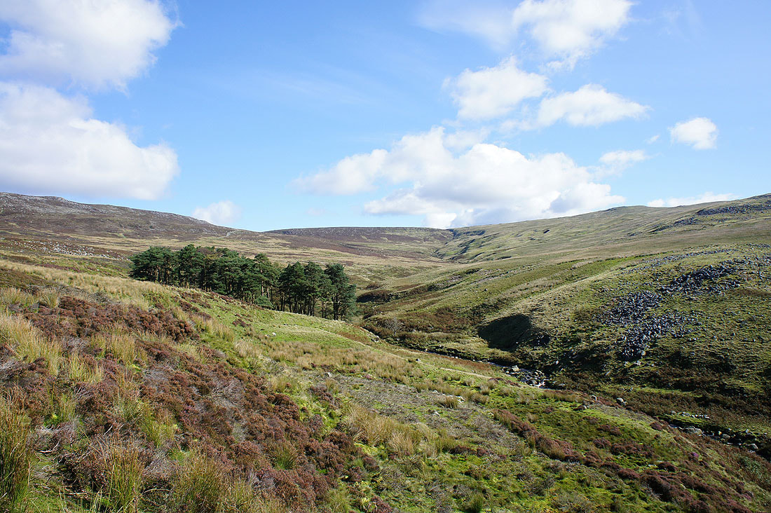
Heading up into Gables Clough
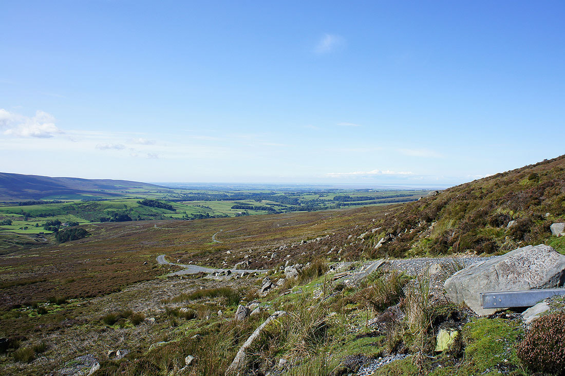
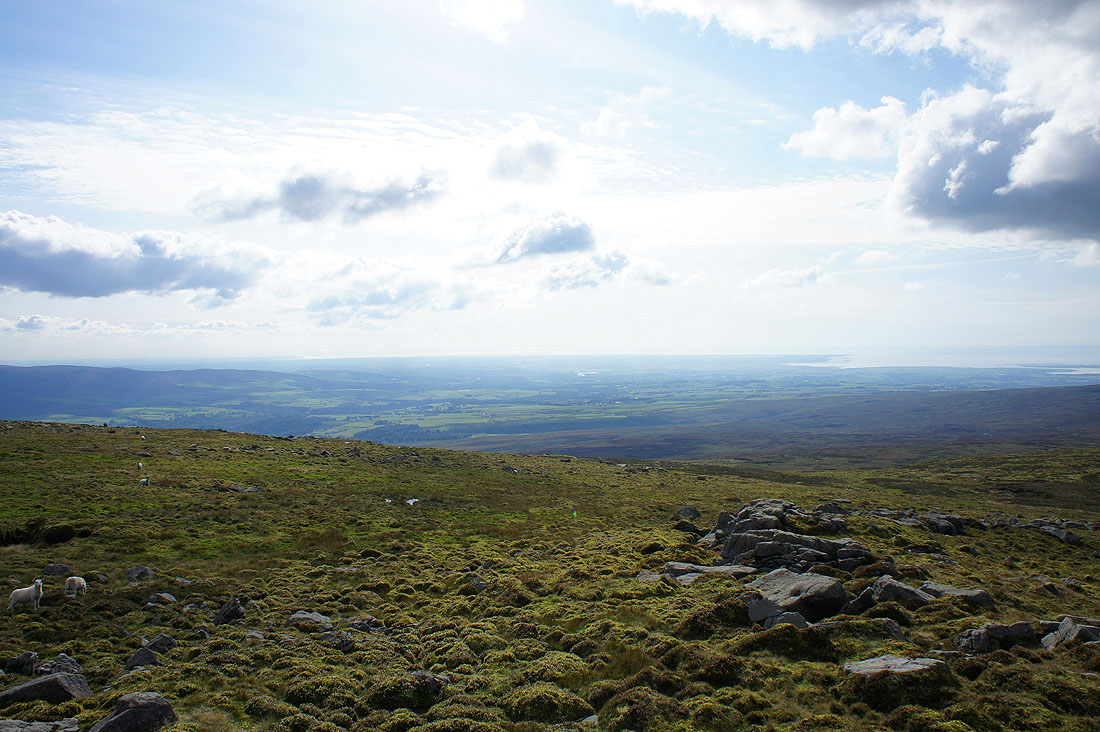
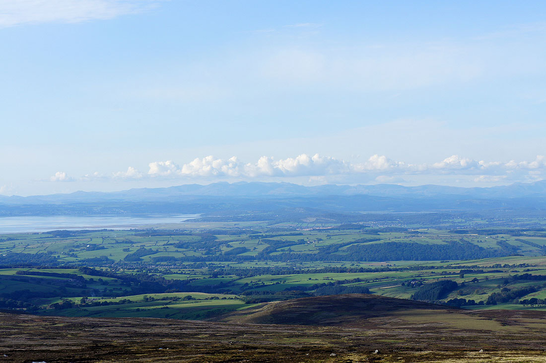
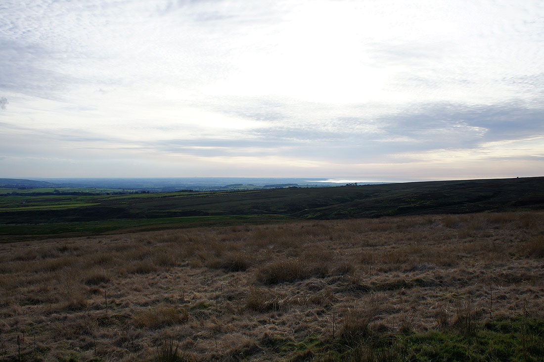
Higher up and I have a view out to the coast
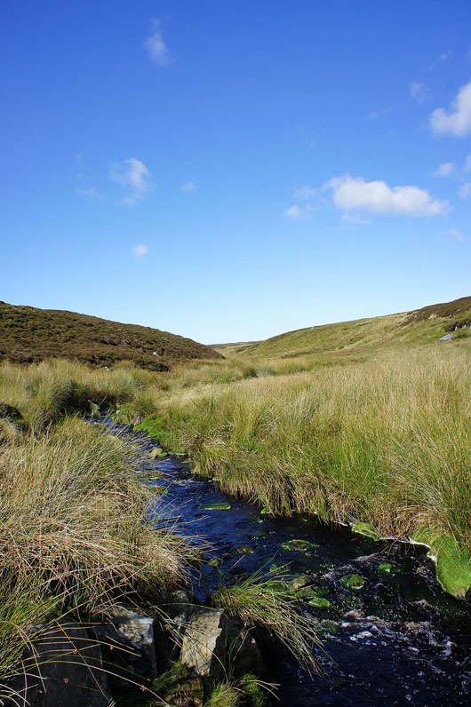
Finally leaving the company of the Tarnbrook Wyre as it becomes Hare Syke to find its source on the slopes of Ward's Stone
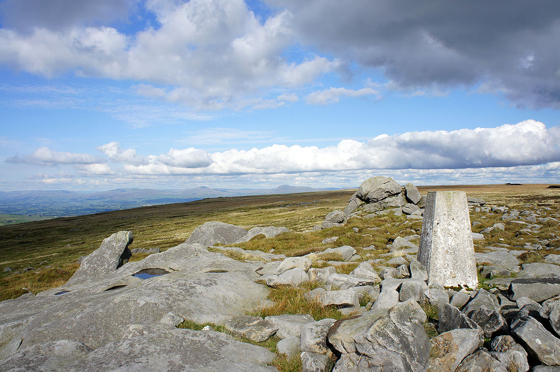
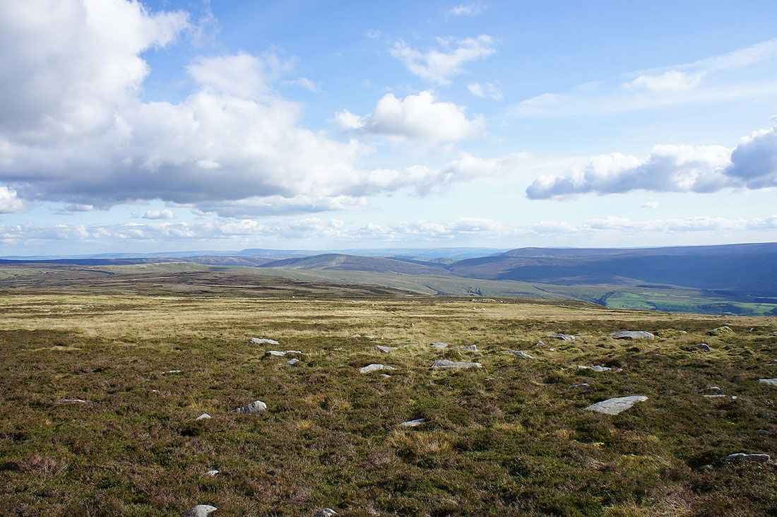
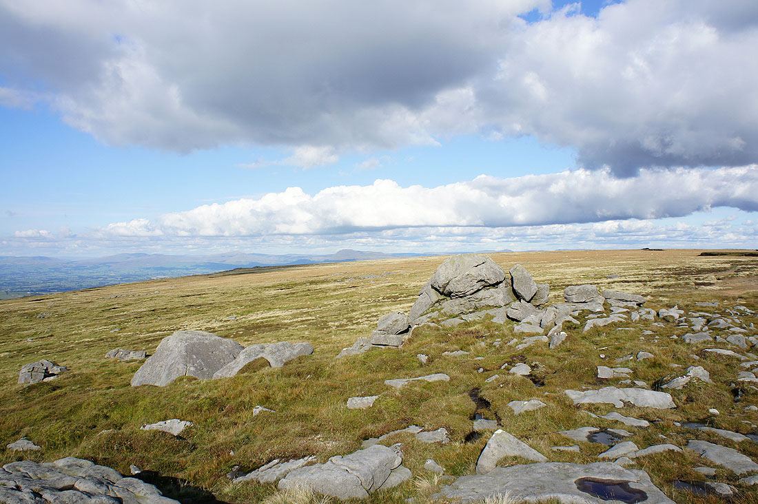
On the summit of Wolfhole Crag. Great views across to Whernside and Ingleborough.

Whernside, Ingleborough and Penyghent
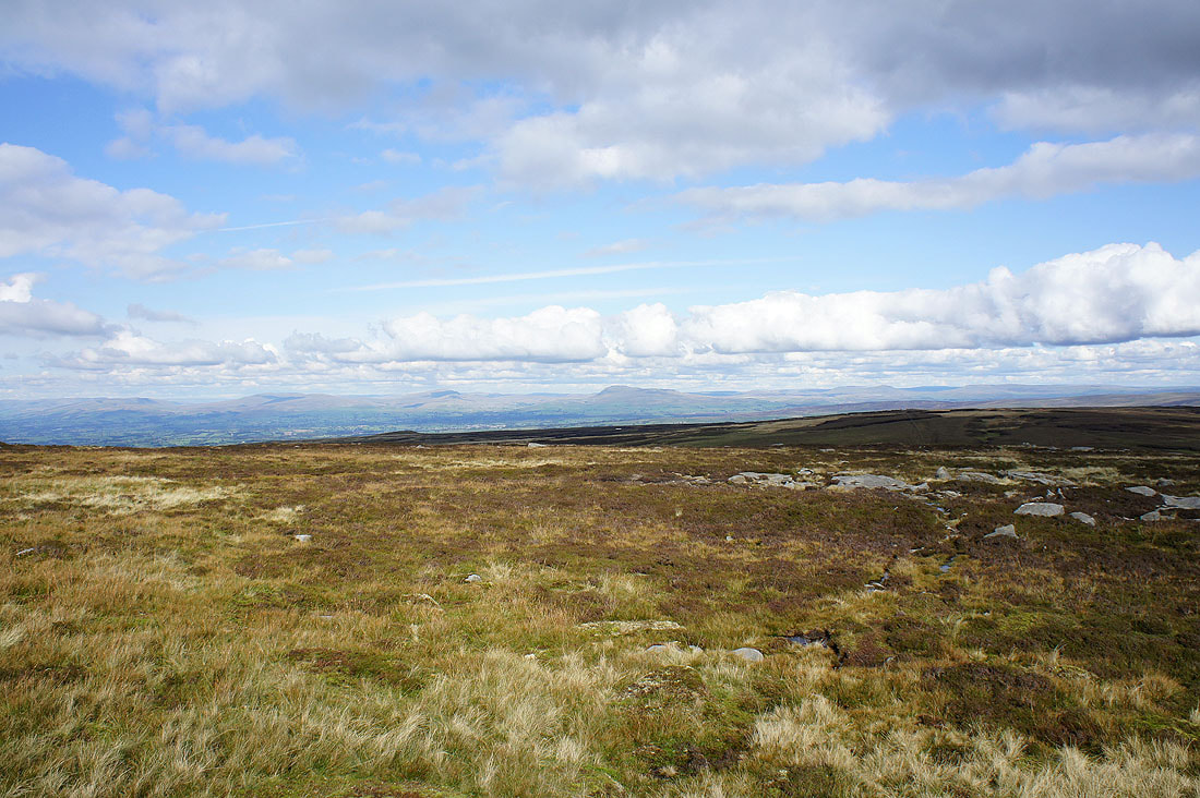
The neighbouring Bowland fell of White Hill
A view across Bowland to Pendle Hill
Whin's Brow, Totridge and Fair Snape Fell not far away
The Lakeland fells are on the distant horizon to the northwest. I'll have a better view from Ward's Stone.
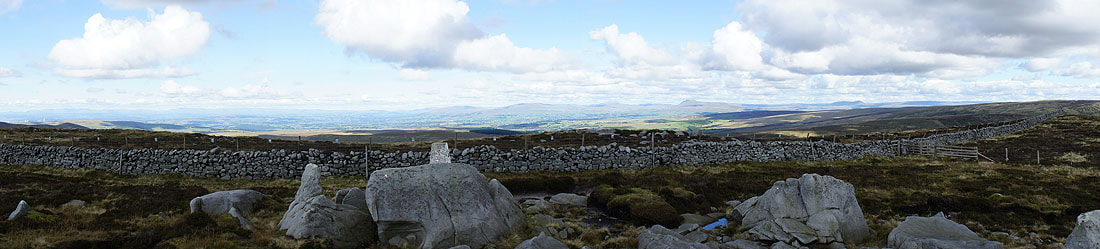
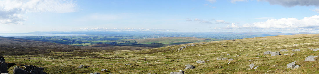
A panorama of the view to the north
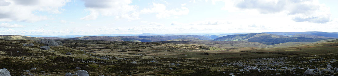
and to the south
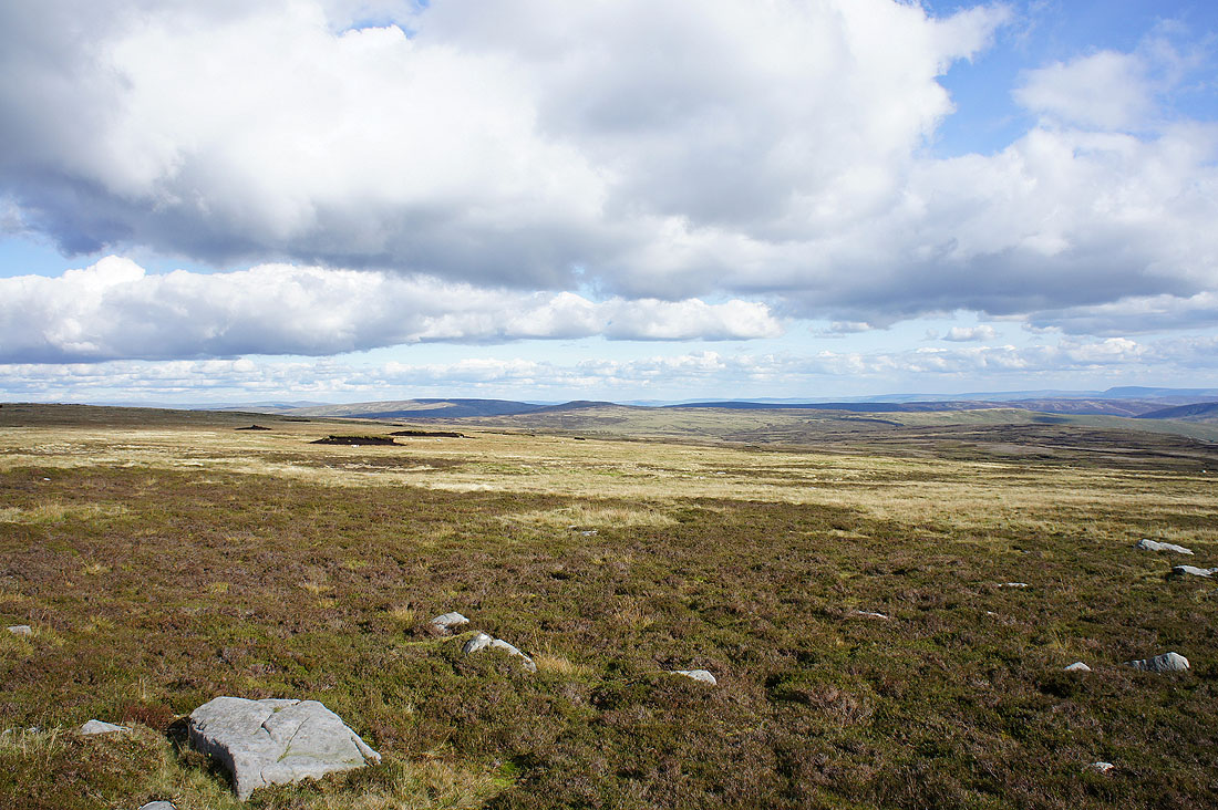
Now heading for Ward's Stone
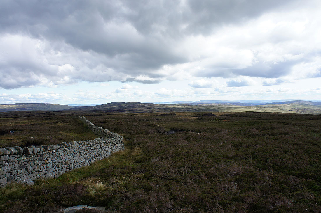
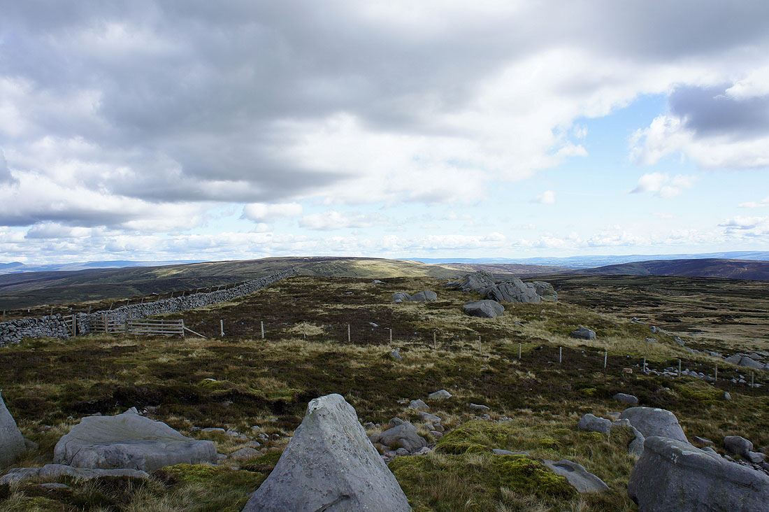
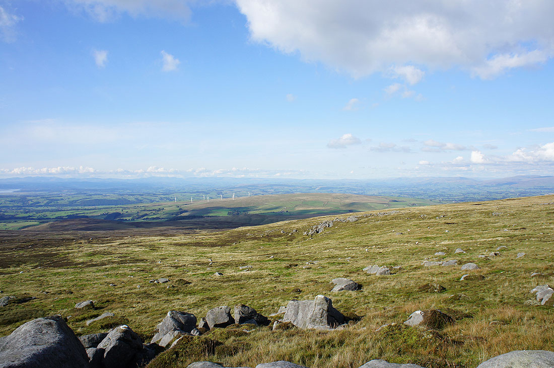
Looking back to Wolfhole Crag from what's marked on the OS map as Grey Crag, just a few boulders amongst the grass and heather
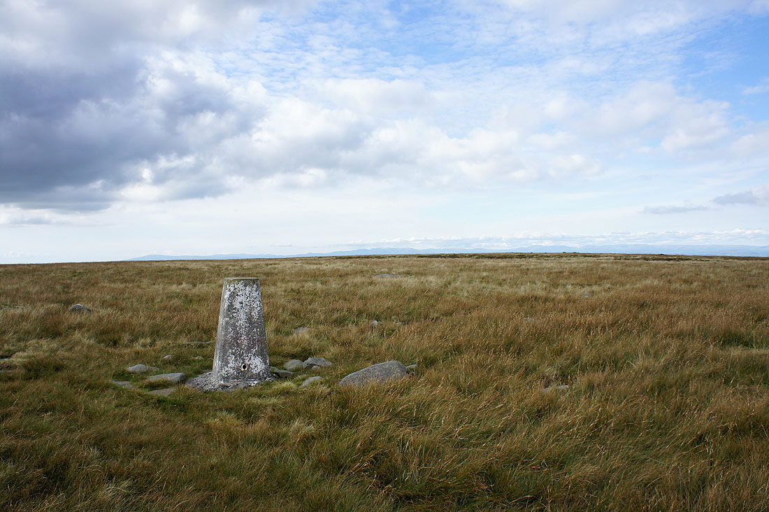
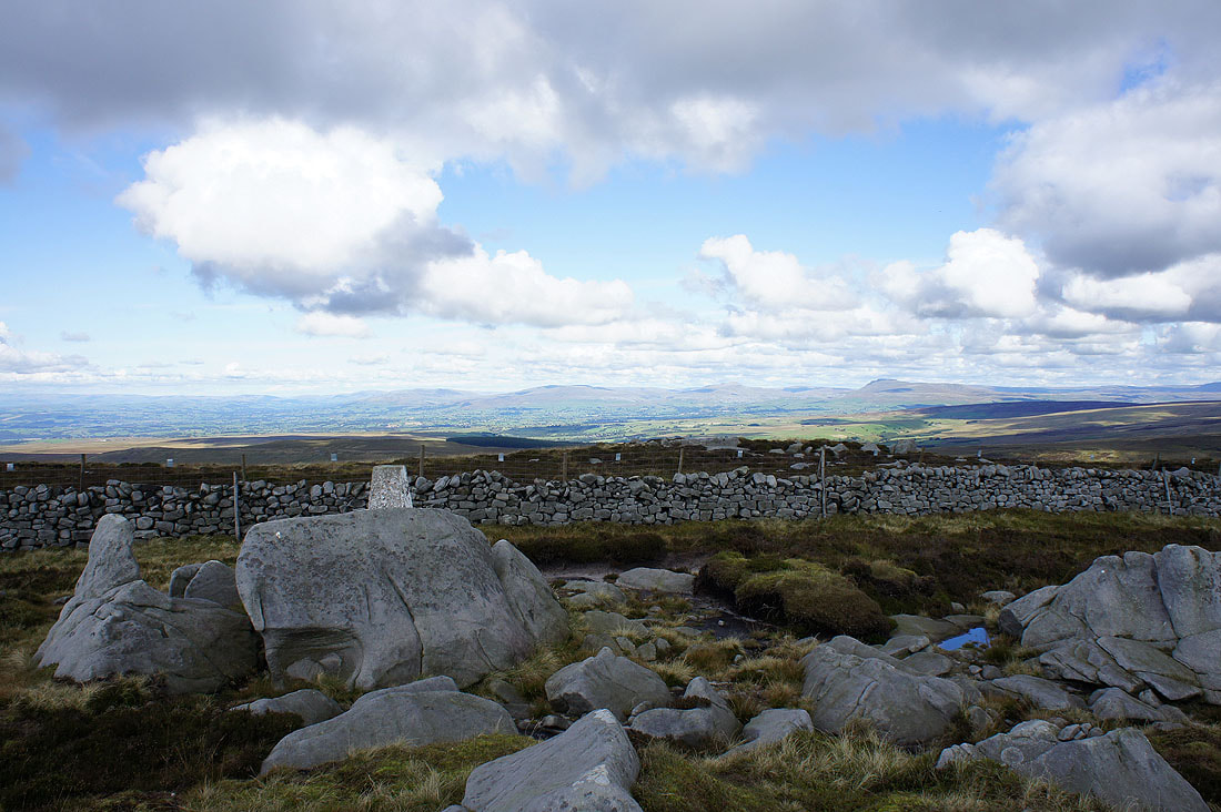
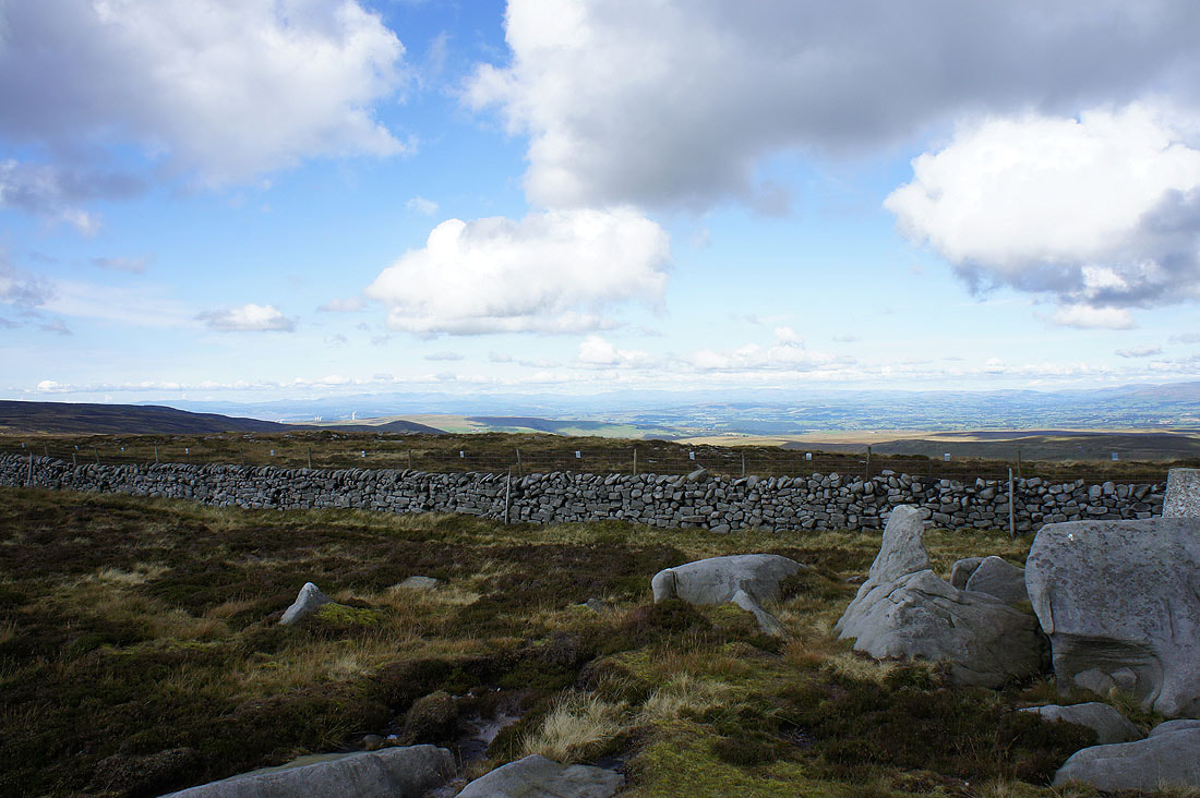
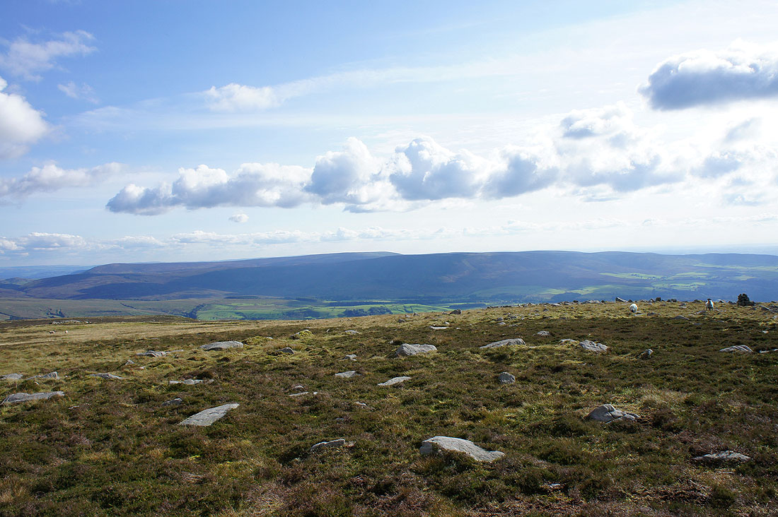
Finally at the trig point at the eastern end of Ward's Stone's summit plateau and some dry ground. There's a large gritstone outcrop not far away and that's where I went to take some pictures of the view.
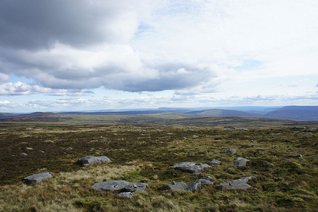
Bowland fells and Pendle Hill in the distance
Ingleborough, Penyghent and Fountains Fell in the distance on the left
A fine array of Craven heights to make out. Great Coum, Whernside, Ingleborough, Penyghent and Fountains Fell.
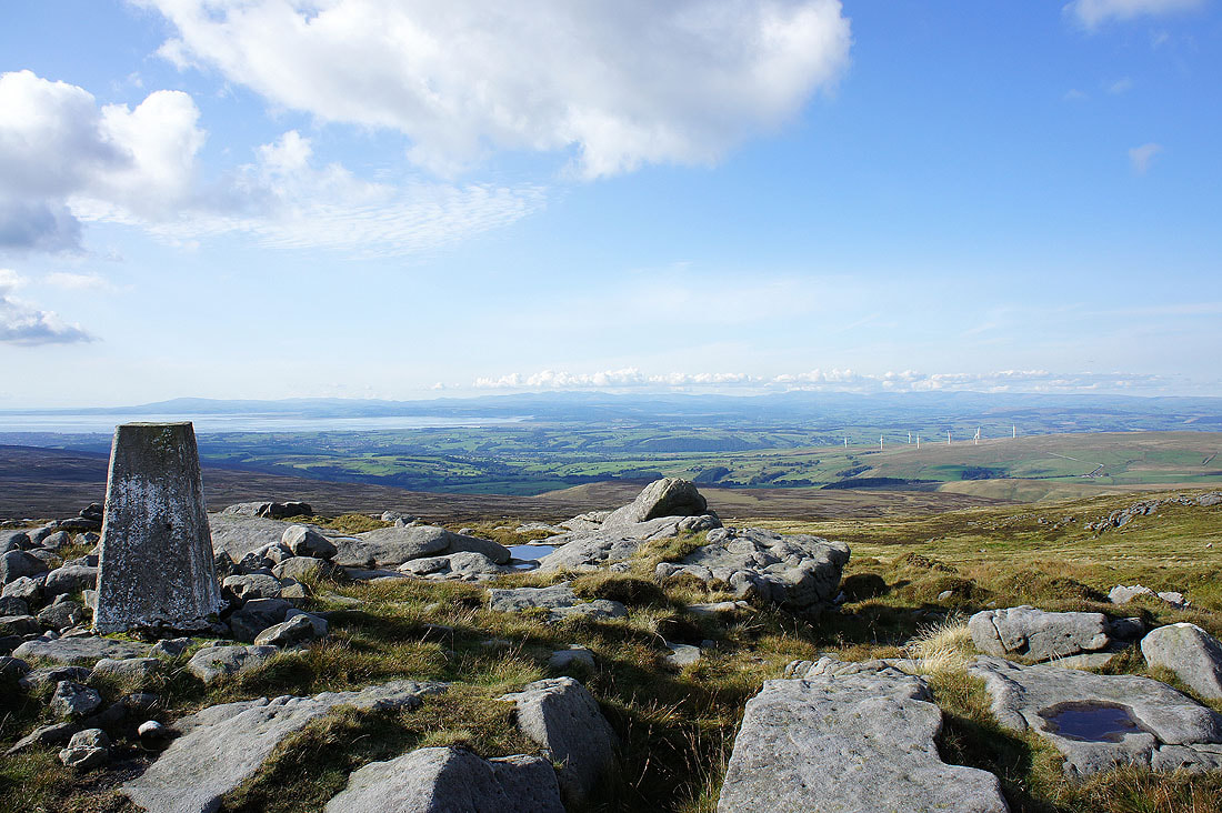
The trig point at the western end of the plateau with Ward's Stone just behind. The views from here made all the effort worthwhile.
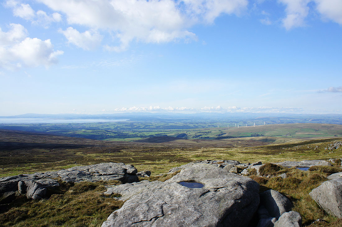
Morecambe Bay backed by Black Combe
The Lune estuary in the middle of the picture with neighbouring Grit Fell on the right
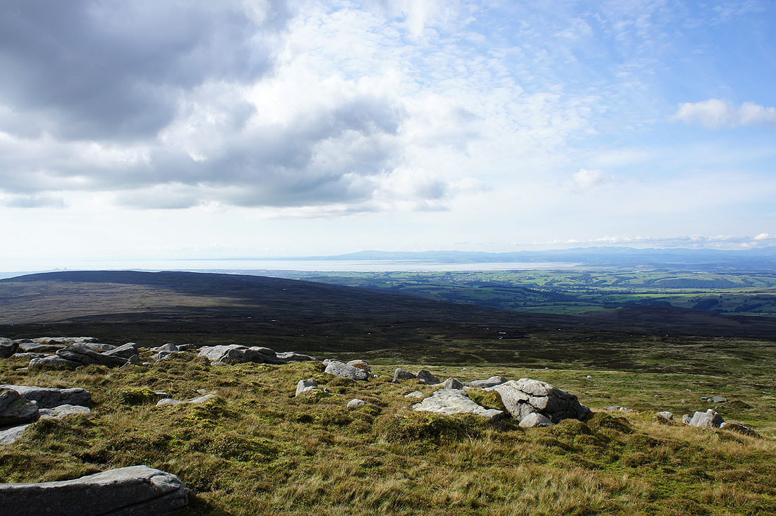
Over Wyresdale to the Fylde coast
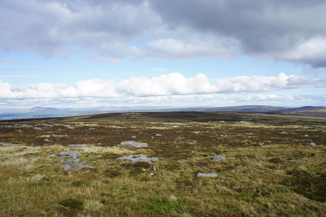
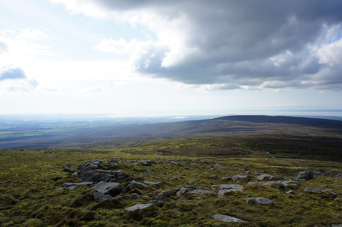
A distant Pendle Hill beyond the Bowland fells
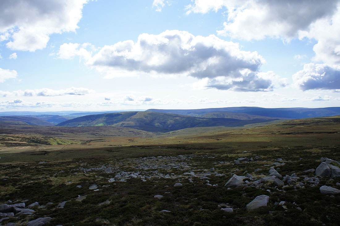
Wolfhole Crag is in the middle of the picture
Hawthornthwaite Fell on the other side of Wyresdale with Totridge to Fair Snape Fell just behind
A magnificent backdrop of Lakeland fells. Excellent visibility meant that I could see all the popular summits.
Zooming in on the Coniston fells, Scafell, Scafell Pike, Bowfell, High Raise and Ullscarf
Helvellyn, Red Screes, Caudale Moor and High Street
Panorama from Black Combe all the way round to Ingleborough
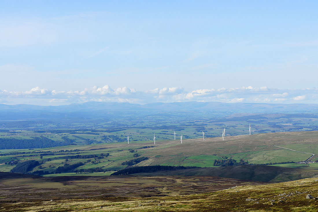
The view looking north. The windfarm on Caton Moor is the obvious feature. Lakeland fells make up the skyline to the left while on the right are the Howgills, Middleton Fell and Great Coum.
Great Coum, Whernside and Ingleborough to the left of Ward's Stone, the outcrop that gives the fell its name
One last shot of that view. I could have spent longer taking it in but I need to head back down.
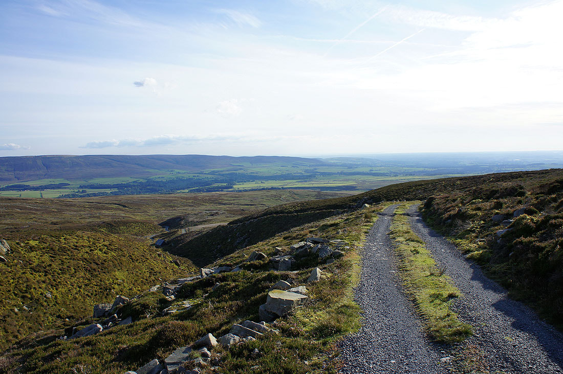
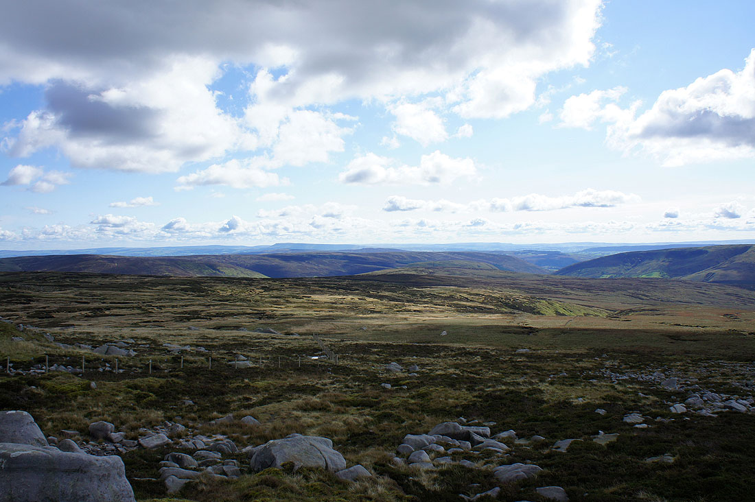
From Ward's Stone I crossed the boggy ground of Cabin Flat to reach this estate track as it crosses the saddle between Grit Fell and Ward's Stone. Easy walking from now on.
Heading down into Wyresdale
A view out to the Fylde coast
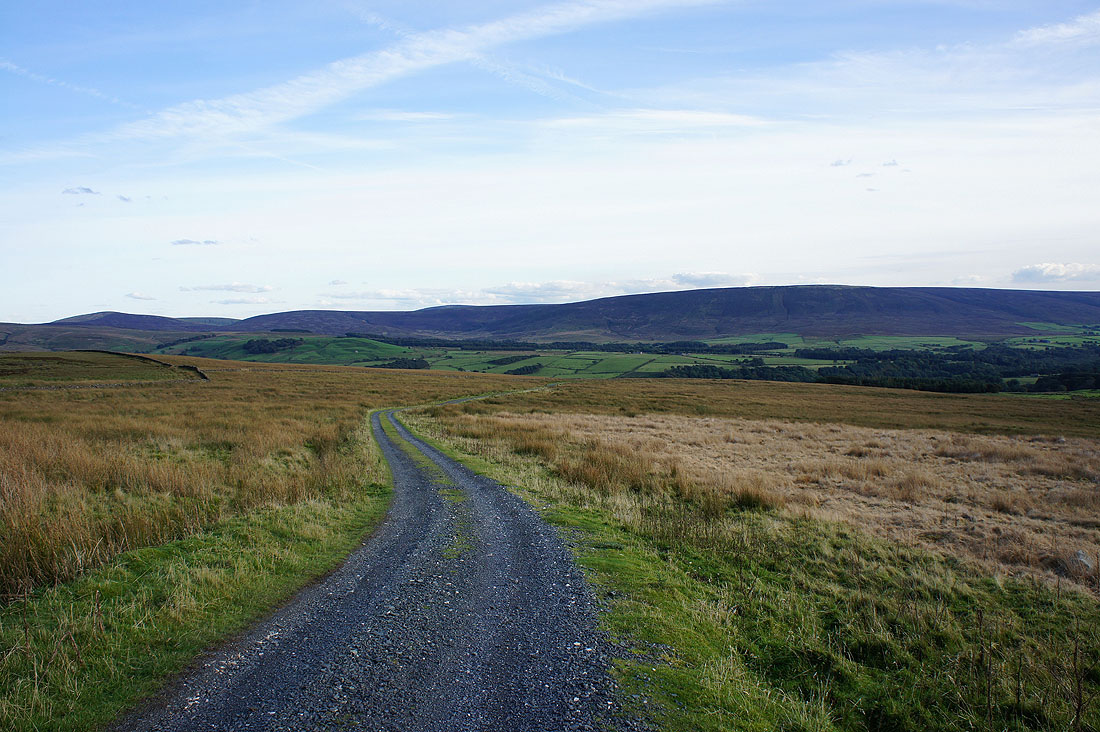
Wyresdale
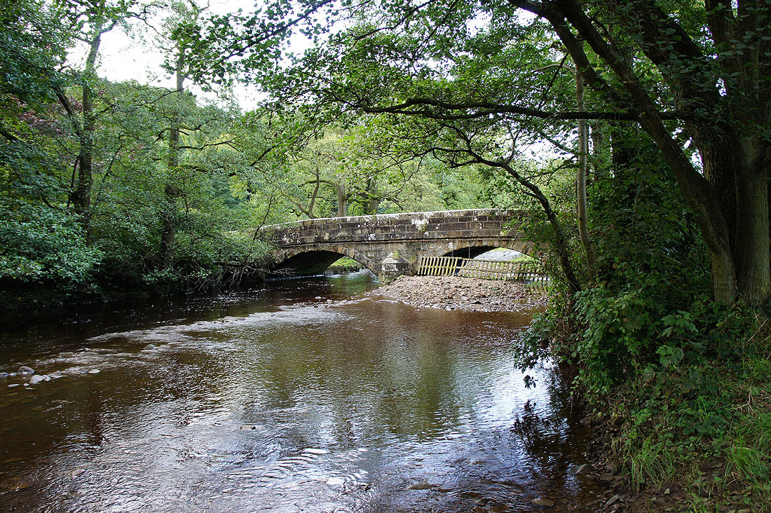
Back at Stoops Bridge over the Tarnbrook Wyre in the hamlet of Abbeystead