23rd April 2011 - Wolfhole Crag
Walk Details
Distance walked: 10.7 miles
Total ascent: 2425 ft
OS map used: OL41 - Forest of Bowland & Ribblesdale
Time taken: 6 hrs
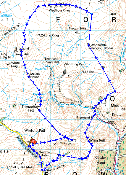
Route description: Trough of Bowland-Trough Barn-Trough House-Ouster Rake-Brennand Farm-Hunter Hole-Whitendale Hanging Stones-White Crag-Wolfhole Crag-Brennand Great Hill-Miller House-Brennand Tarn-Whins Brow-Trough of Bowland
A walk from the Trough of Bowland taking in a circuit of Brennandale and the hills of Wolfhole Crag, Brennand Great Hill and Whins Brow.
Route map
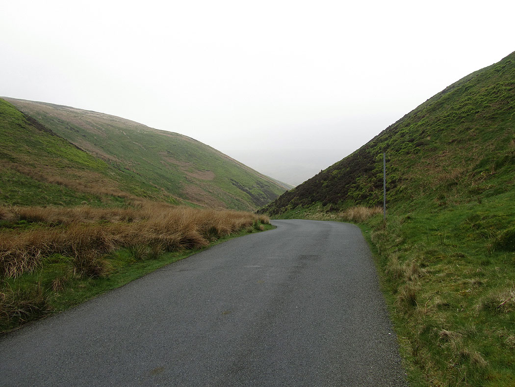
After parking at the layby at the top of the road through the Trough of Bowland I made my way back south down the road to the footpath that leaves the road at Trough Barn.
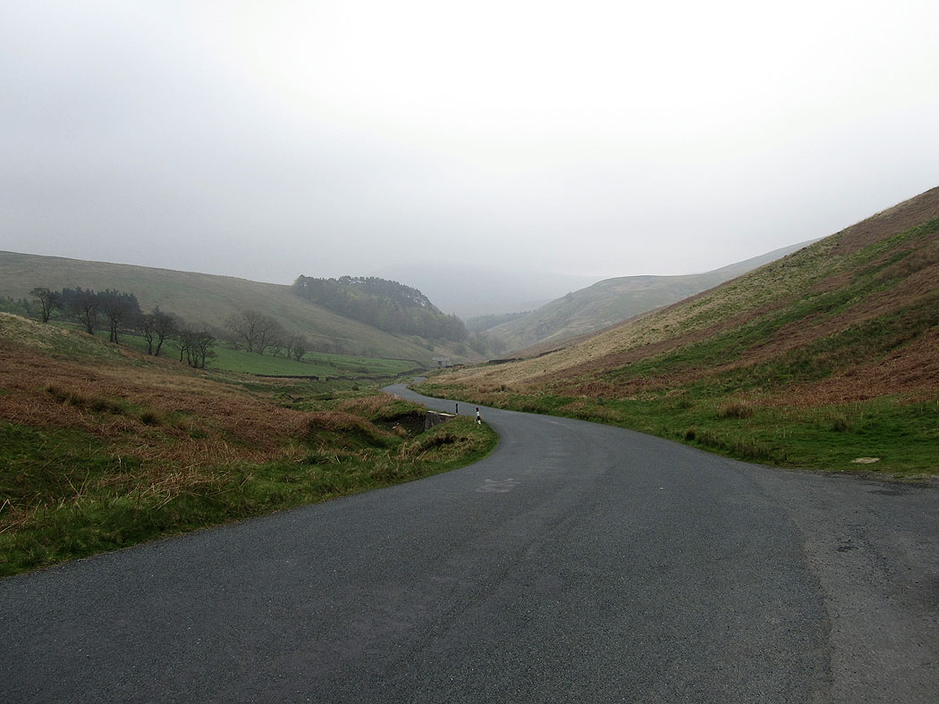
Heading down the road. The footpath leaves the road at Trough Barn, the building in the middle of the picture next to the road.
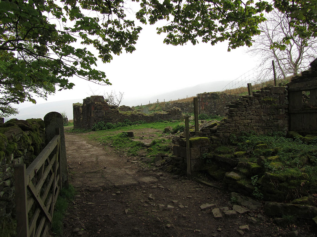
From Trough Barn I followed the footpath past the ruins of Trough House
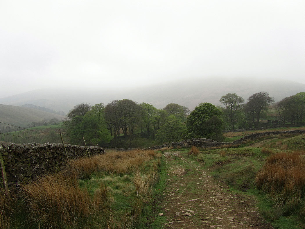
The path traverses over the flank of Whins Brow and over into Brennandale
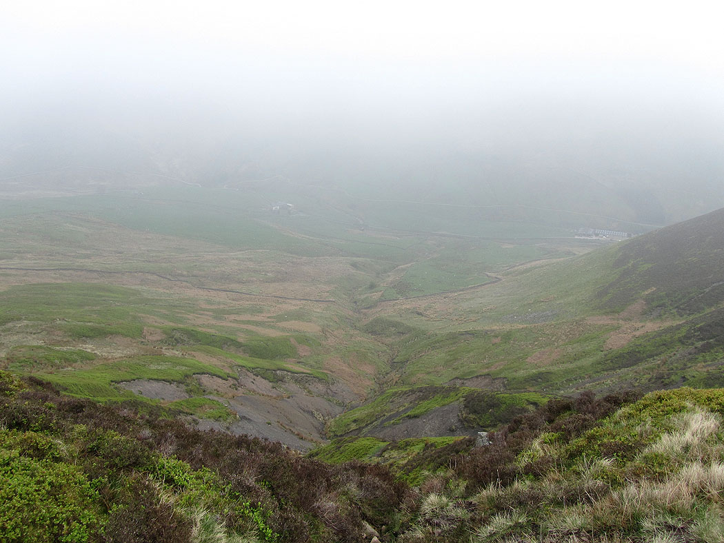
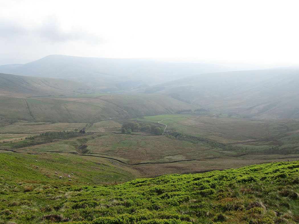
Brennandale below
Lower Brennand beneath Middle Knoll
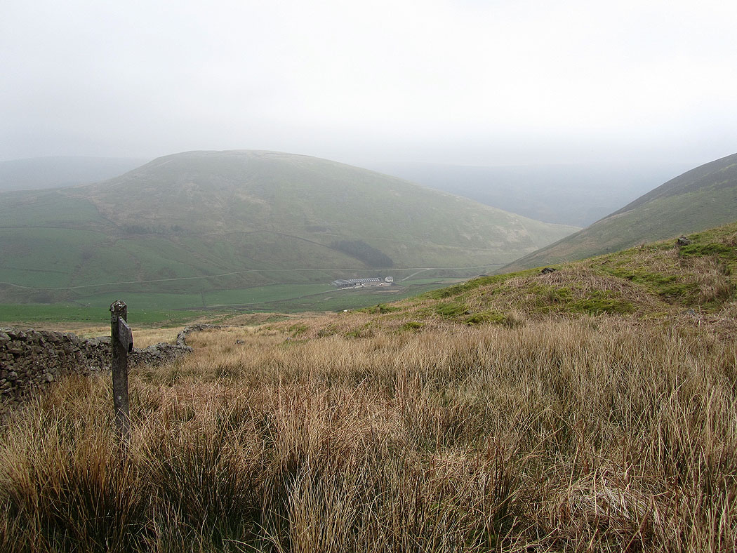
Heading down to Brennand Farm. It's brightening up and the low cloud has lifted from the tops.
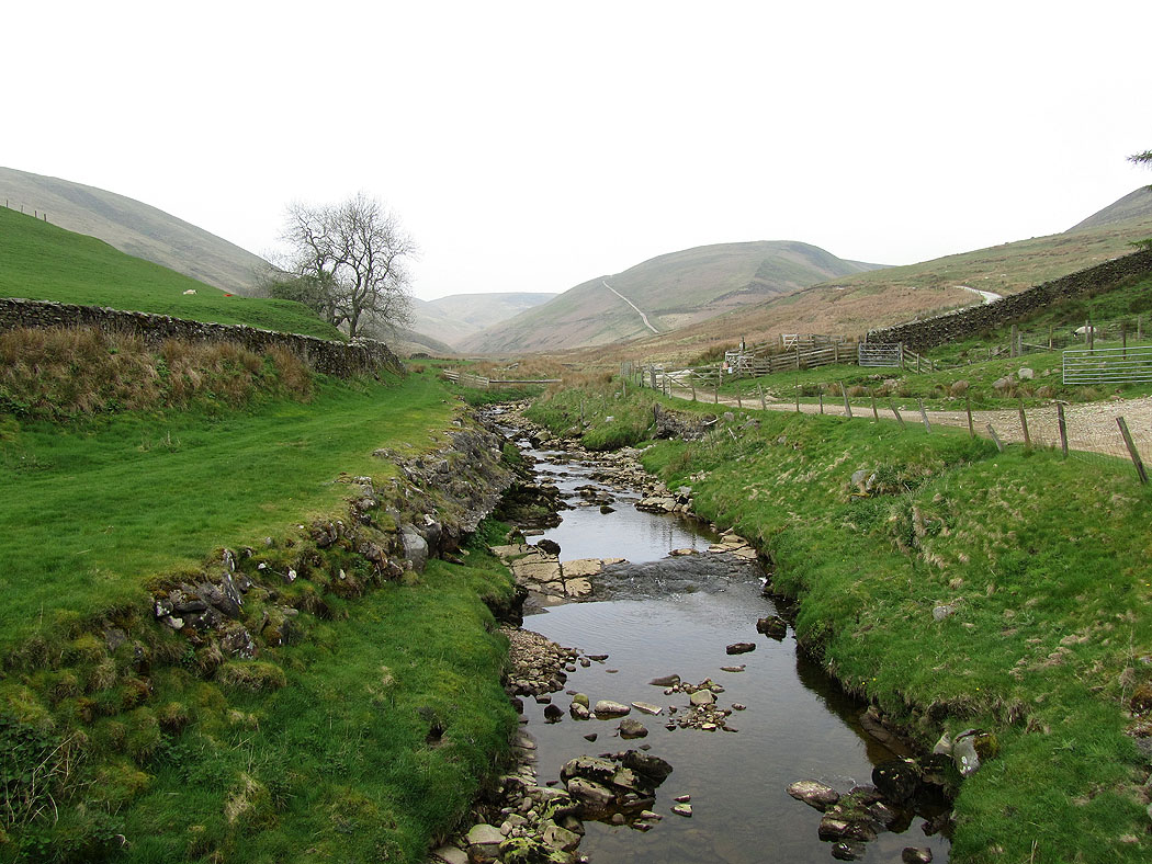
Brennand River
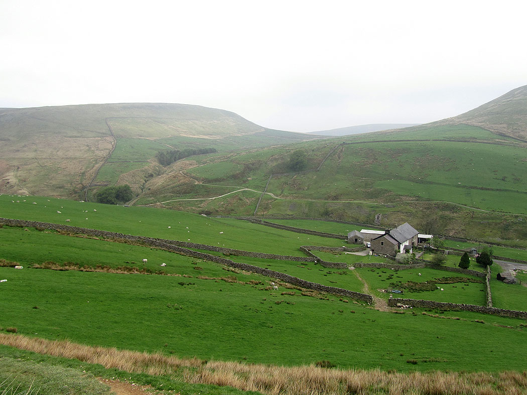
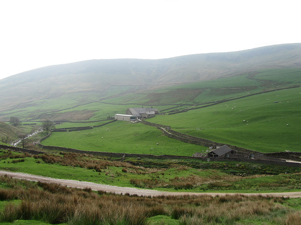
Brennand Farm below Whins Brow
The fells around Whitendale
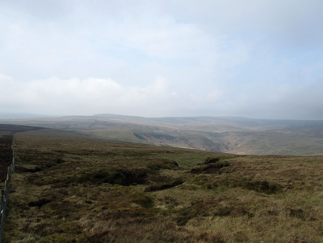
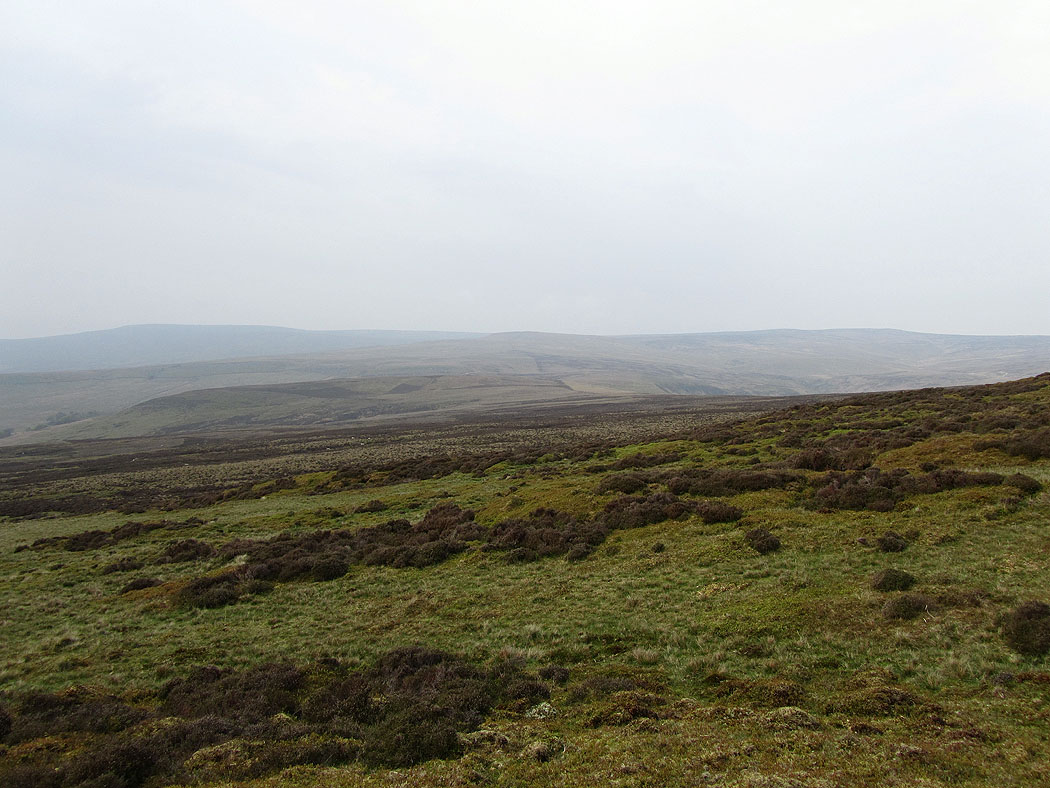
Lonely fells
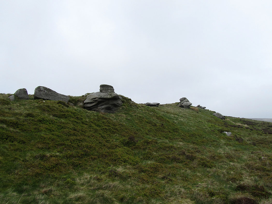
Whitendale Hanging Stones. According to the guidebook I found this walk in, the OS consider a spot close to here to be the centre of Britain.
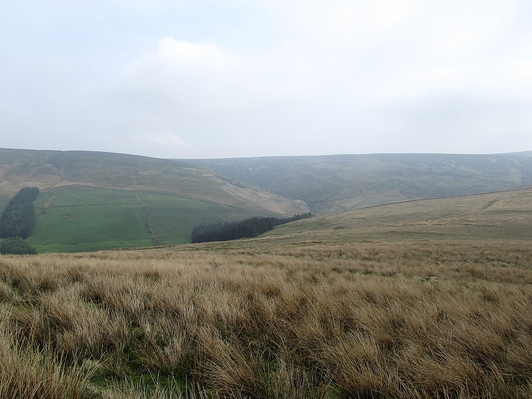
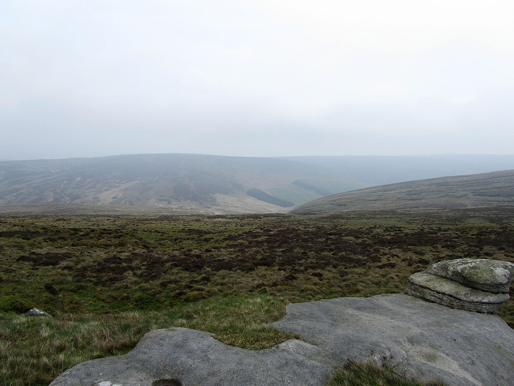
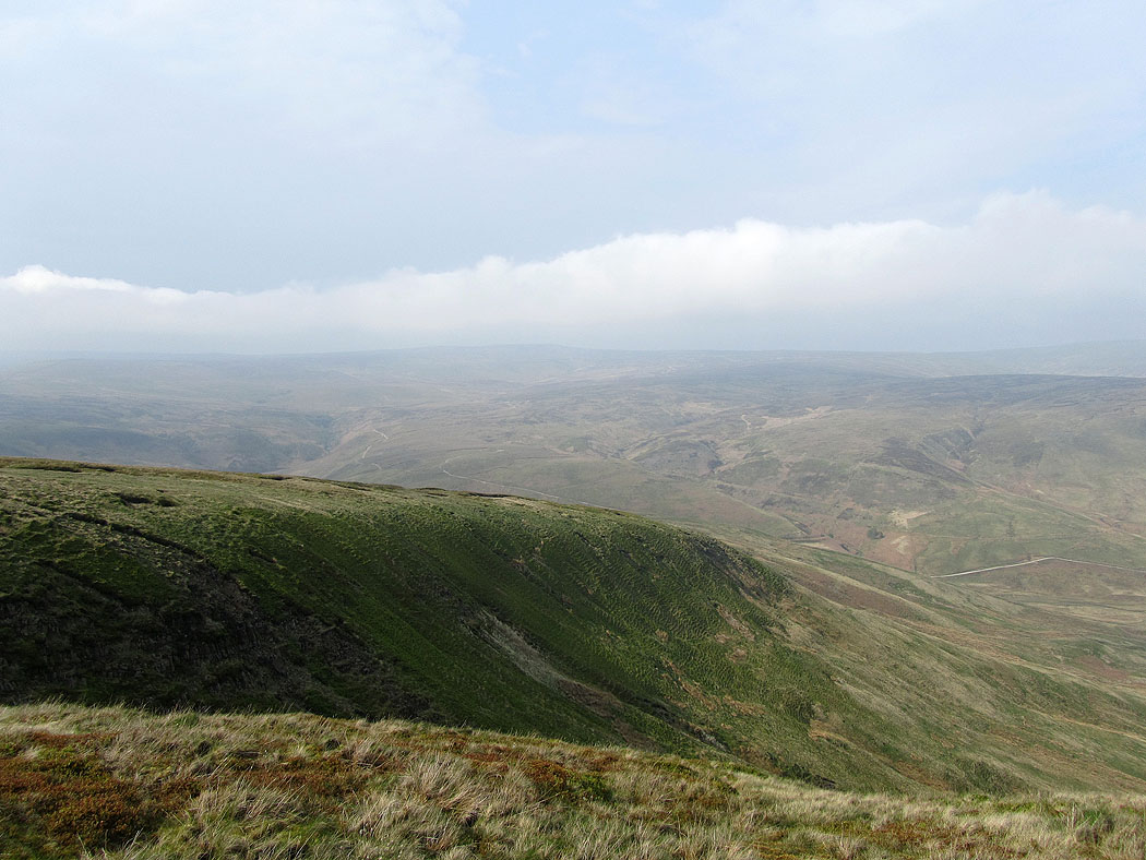
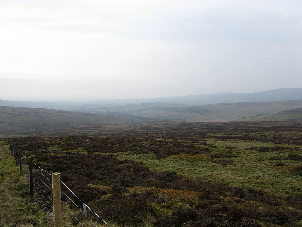
Looking down into Whitendale
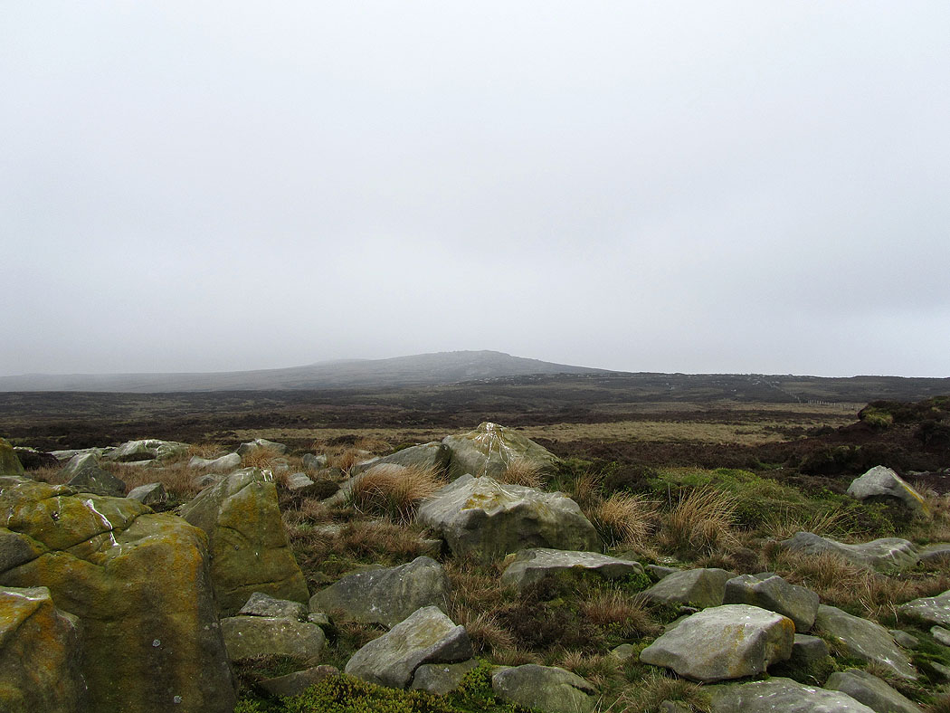
On White Crag looking to the high point of the walk, Wolfhole Crag. The cloud started to come back down here.
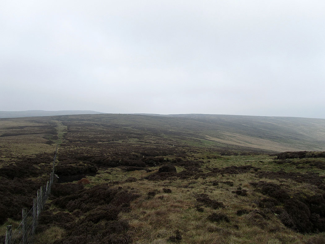
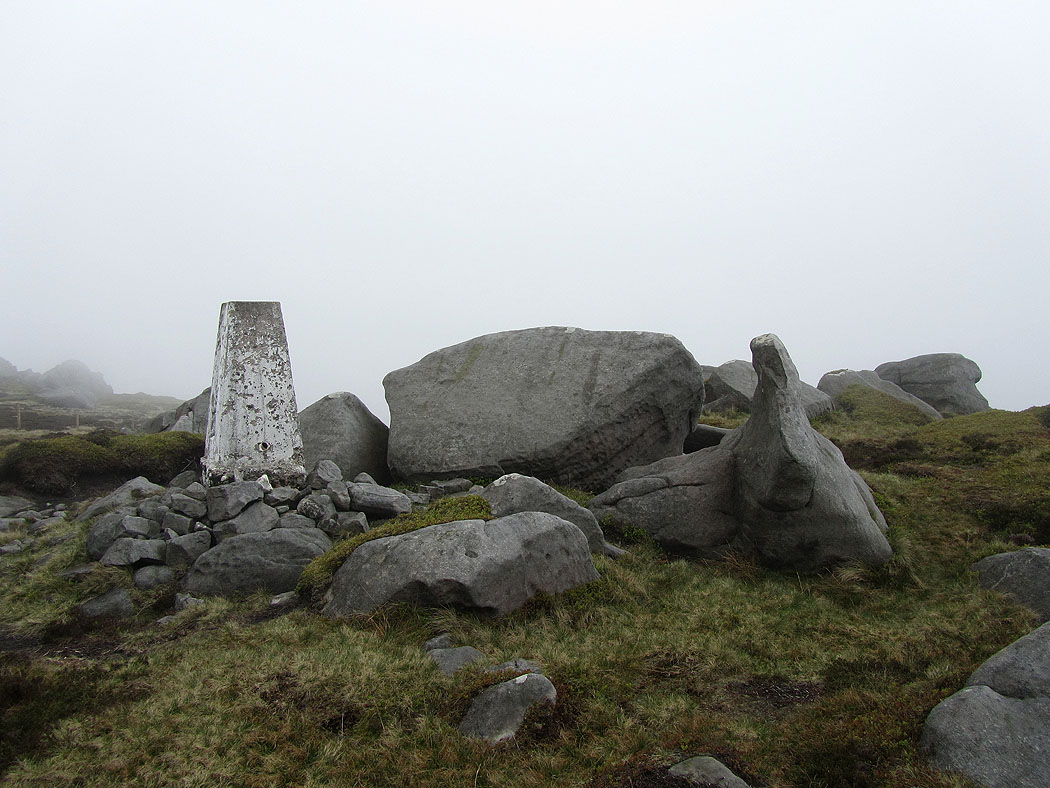
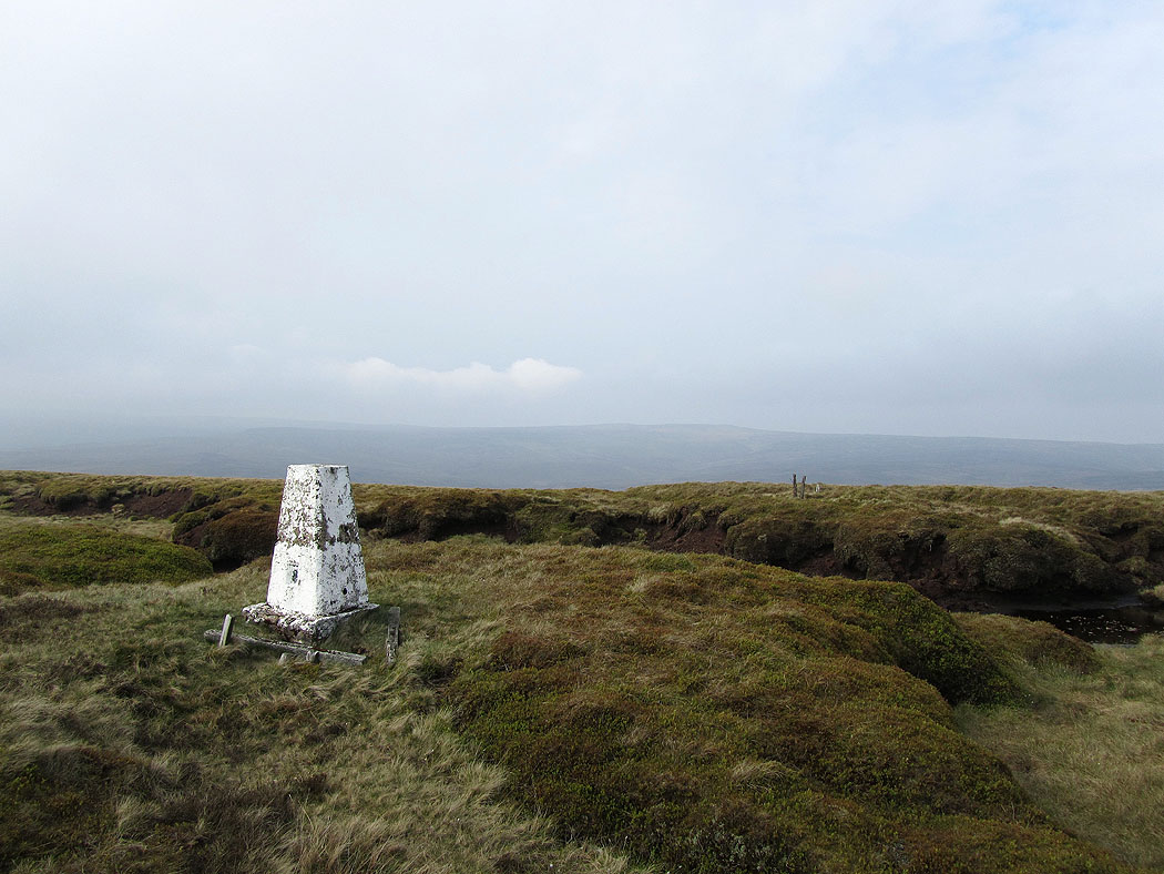
Wolfhole Crag. No views.
From Wolfhole Crag, the next stops are Brennand Great Hill and then the outcrop of Miller House. For the next couple of miles I had the constant accompaniment of gulls calling and circling overhead. I presume they must be nesting nearby. It was like being in a Hitchcock movie.
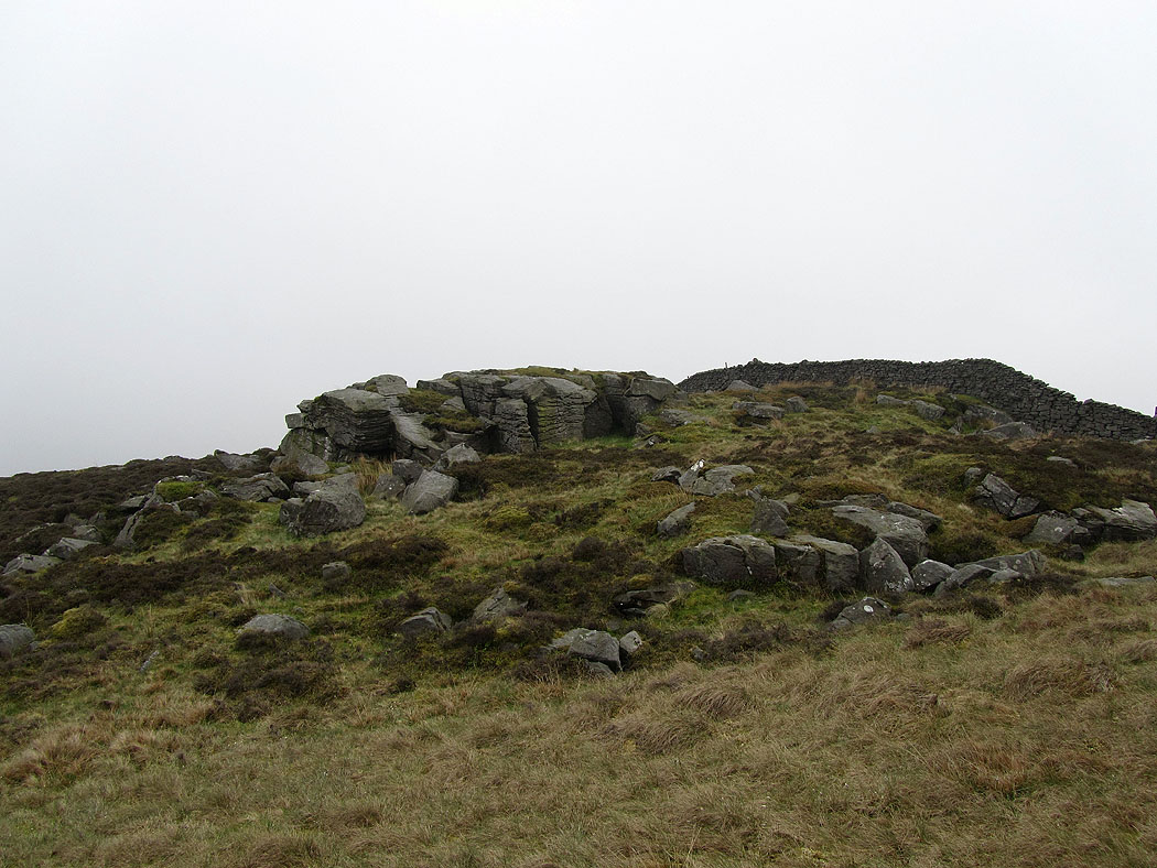
The gritstone oucrop of Miller House
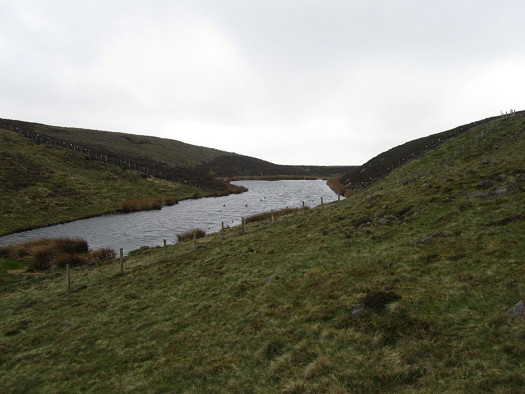
Brennand Tarn
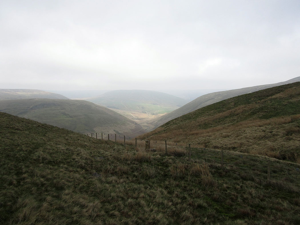
The cloud has started to lift and break and I have this view down into Brennandale
A view back over the second half of the walk. The high point on the right is Wolfhole Crag.
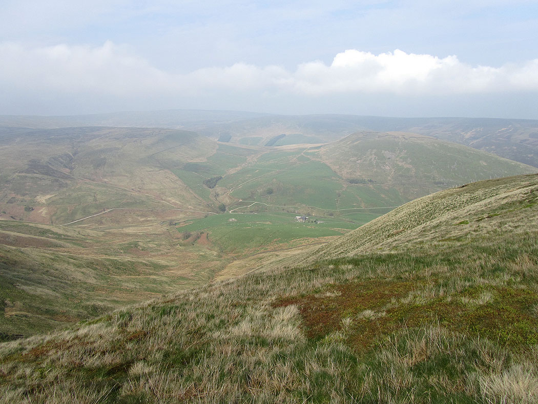
On the way up to the summit of Whins Brow and a view down to Brennand Farm. My route went up to the col above the farm and then followed the high ground all the way around to the left.
On Whins Brow. The high point in the middle of the picture is Wolfhole Crag.
The summit of Whins Brow
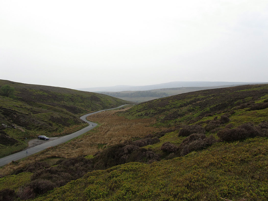
Looking down on Losterdale and the road to the Trough
Ward's Stone, the highest summit in the Forest of Bowland on the left and Wolfhole Crag on the right
Following the fence back down to the road and a view into Wyresdale
Heading back down to the road
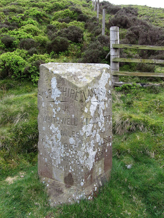
The Grey Stone of Trough. Up until 1974 this marked the boundary between Lancashire and Yorkshire. Now both sides of the road are in Lancashire.
