23rd April 2016 - Hollinsclough Moor, High Edge & Chrome Hill
Walk Details
Distance walked: 10.1 miles
Total ascent: 2374 ft
OS map used: OL24 - The Peak District, White Peak area
Time taken: 6.5 hrs
Route description: Hollinsclough-Hollinsclough Moor-Hill Top Farm-Willshaw-Hollinsclough Rake-Washgate Bridge-Brand End Farm-Thirkelow-High Edge-Dowel Dale-Glutton Grange-Parkhouse Hill-Chrome Hill-Stoop Farm-Booth Farm-Fough-Hollinsclough
It was between Christmas and New Year when my older brother was last able to join me for a walk but he was free today for this walk around the upper valley of the River Dove that I'd originally planned to do a couple of weeks ago. I was already familiar with about half the route but the rest of it took me onto new territory; Hollinsclough Moor and the Dove upstream from Hollinsclough. The definite highlight of the day was Washgate Bridge, the packhorse bridge over the River Dove. It's a really nice spot, peace and quiet with just the sounds of nature. It was a lovely sunny start to the day when we arrived in Hollinsclough and stayed that way through the morning. Unfortunately, from High Edge onwards it gradually clouded over and it felt pretty cold in the strong breeze on the tops of Parkhouse and Chrome Hills. With hindsight I suppose I could have done the walk the other way round so that there would have been sunny skies on Chrome and Parkhouse Hills.
From the layby in Hollinsclough we took the byway that heads south up onto Hollinsclough Moor to reach the trig point and the Edge Top lane. We walked west along the road for a couple of hundred yards to take a footpath on the right that goes past Hill Top Farm and round the side of Willshaw Hill to Willshaw Farm. After going through the farmyard a path on the right took us downhill and across a brook and up to the lane of Hollinsclough Rake. A left turn and a short walk down the road brought us to the bridleway down to Washgate Bridge and the River Dove. The byway on the other side was followed uphill for a short distance, then a footpath on the left above the River Dove, across a brook and when the path headed steeply uphill and forks we took the one to the right that goes up Brand End to Brand End Farm. The path then goes round the farm, down to and across a brook, up to Thirkelow and along its drive below Thirkelow Rocks to reach a road. The road was followed east past High Edge Raceway to the path up onto the access land of High Edge. After having lunch here we made our way back down to the road which we kept on past Stoop Farm and down into Dowel Dale. Where the road turns right the path uphill was taken towards Earl Sterndale, then the one down to Glutton Grange for a steep ascent of Parkhouse Hill. After a steep descent and across a lane there was another climb to reach the summit of Chrome Hill. Down the other side and a concessionary path is followed once access land is left to the driveway of Stoop Farm. A footpath from here brought us to the lane to Booth Farm and the bridleway south past Fough, across the River Dove and back to Hollinsclough.
Route map
© Crown copyright. All rights reserved. License number PU 100034184.
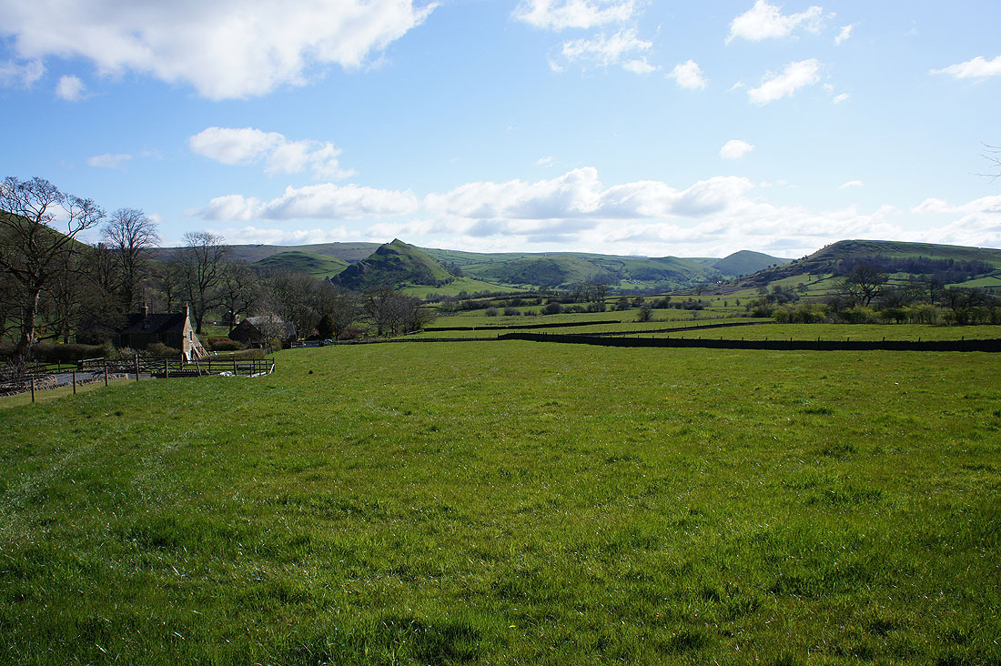
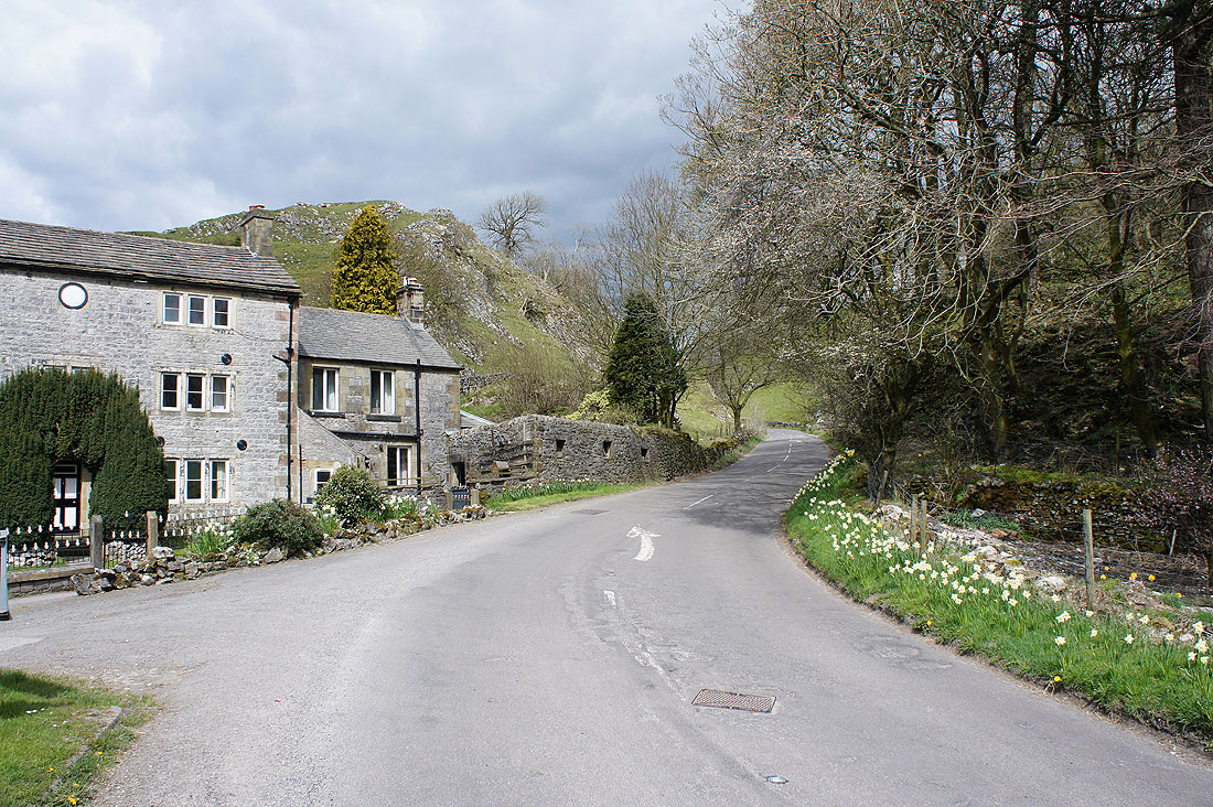
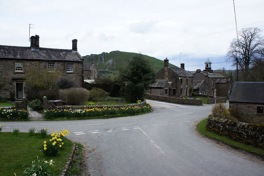
A beautiful morning in Hollinsclough as I look across the Dove valley to Parkhouse Hill, Hitter Hill and High Wheeldon
A backdrop of Chrome Hill
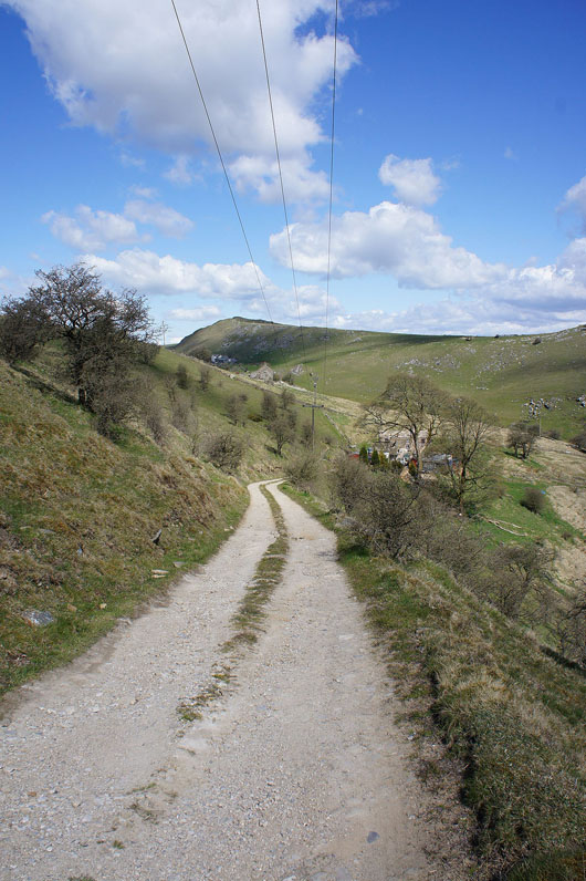
Looking back from the byway up to Hollinsclough Moor
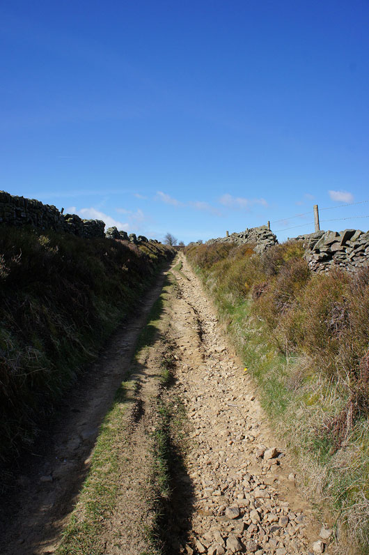
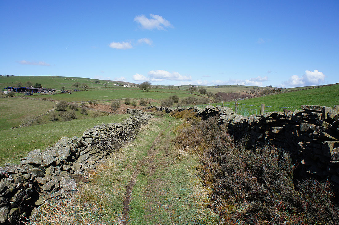
The track is in a reasonable condition here but in places it was very badly eroded
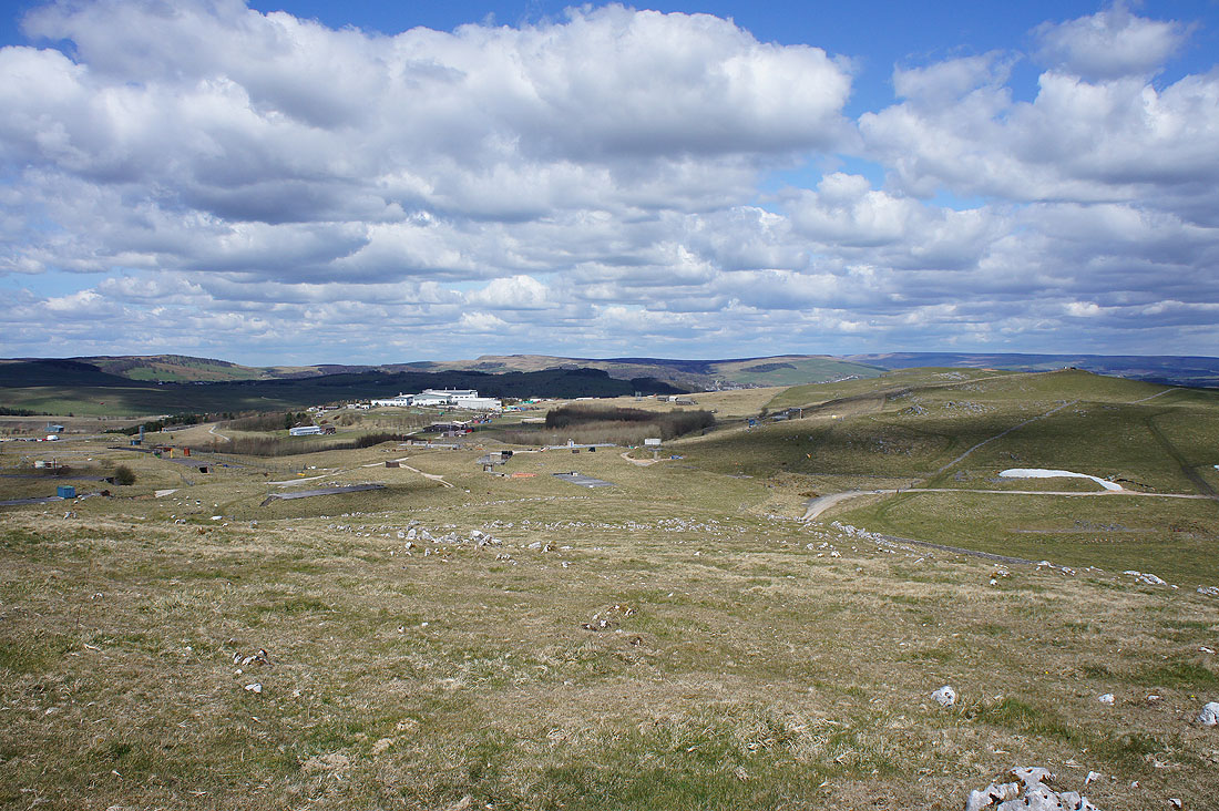
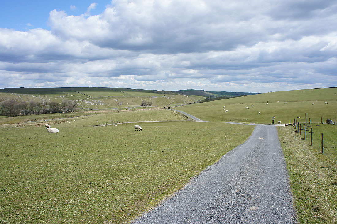
Looking back from up on Hollinsclough Moor
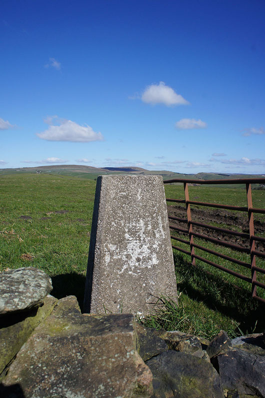
The trig point on Hollinsclough Moor. It isn't access land on the other side of the wall.
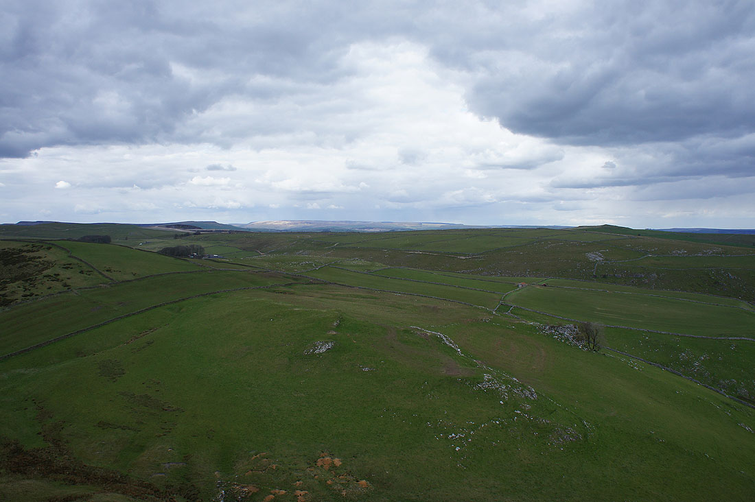
The Staffordshire moors to the south
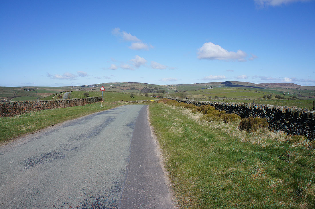
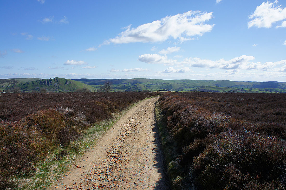
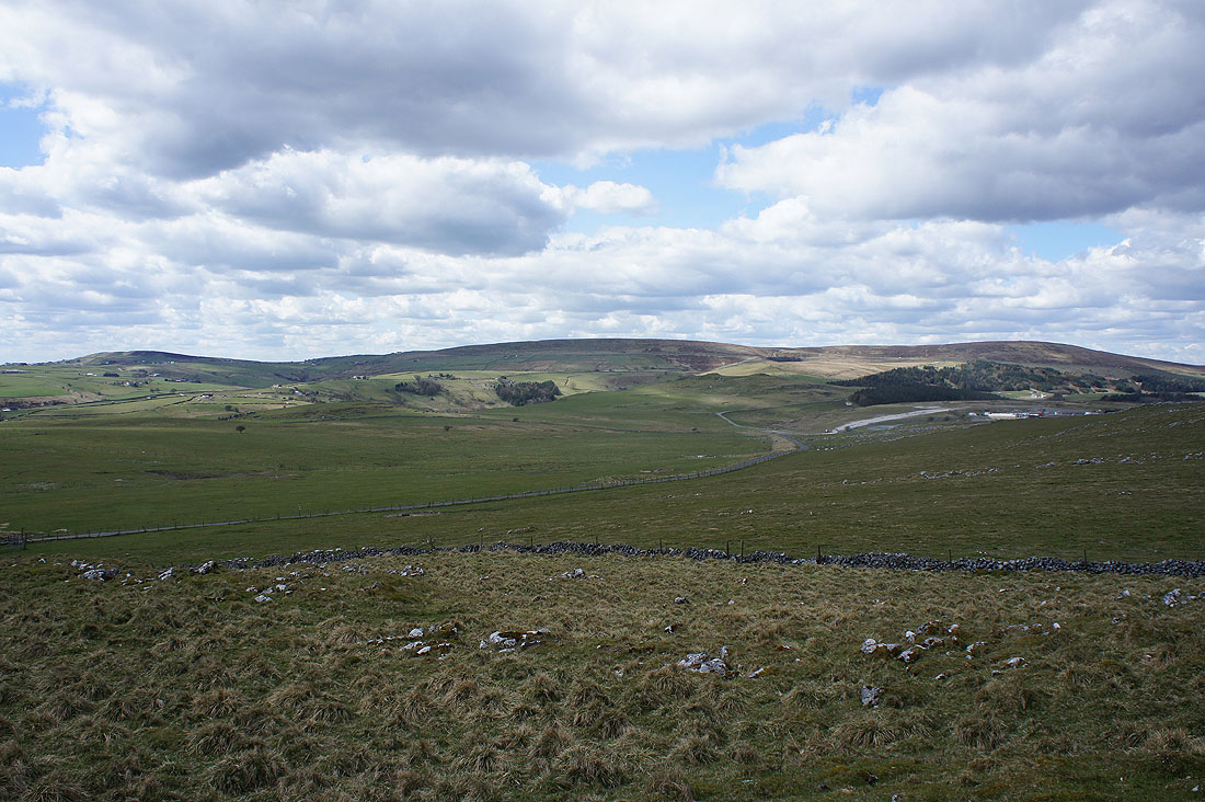
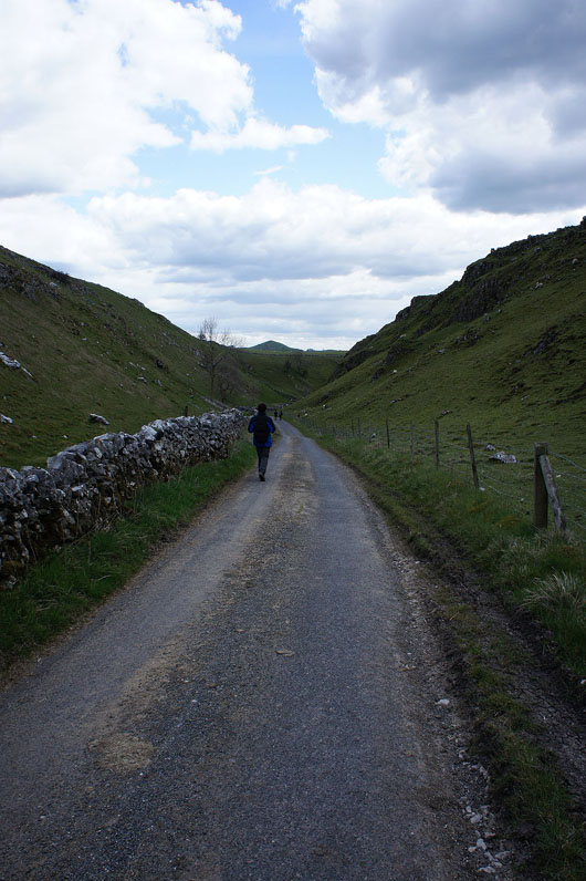
A quiet walk along the road towards Wolf Edge and Axe Edge
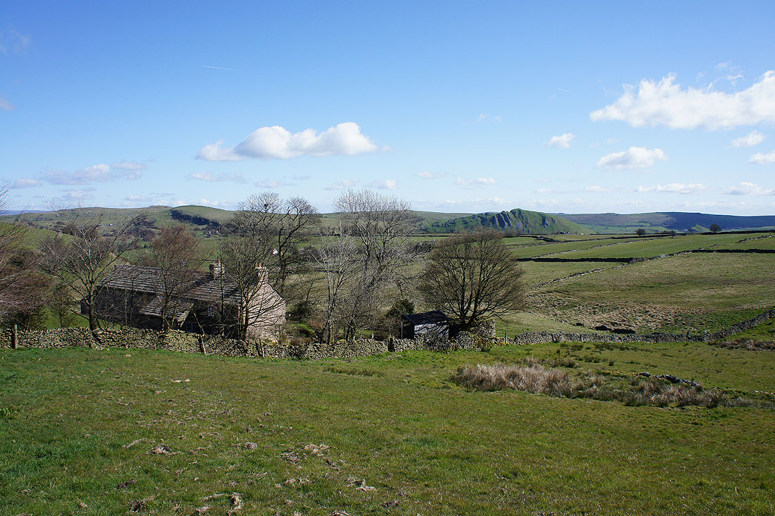
A lovely view across the top of Hill Top Farm to Hollins Hill and Chrome Hill
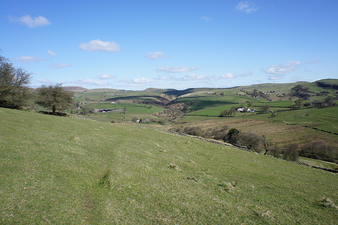
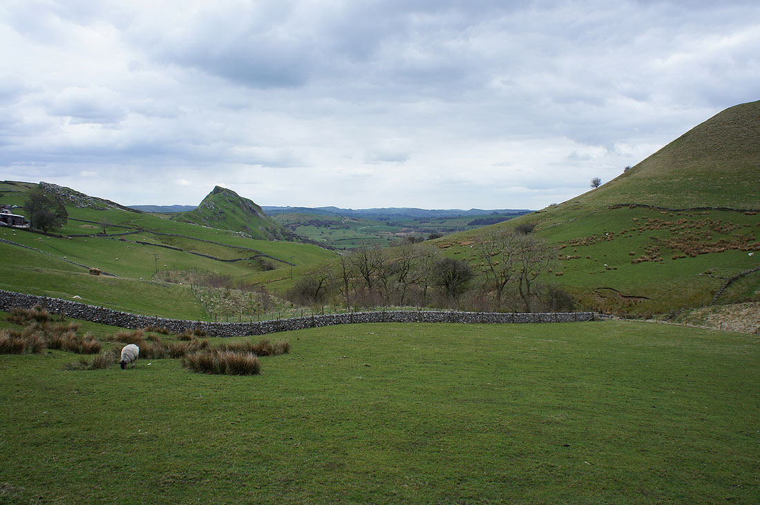
On the path down to Willshaw and we're heading for the valley in the middle of the photo. The River Dove is down there.
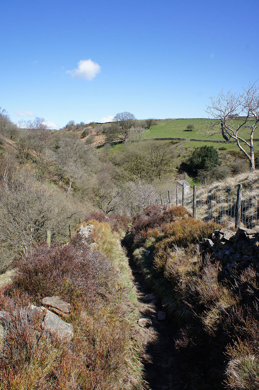
and on the bridleway down to Washgate Bridge and the River Dove..
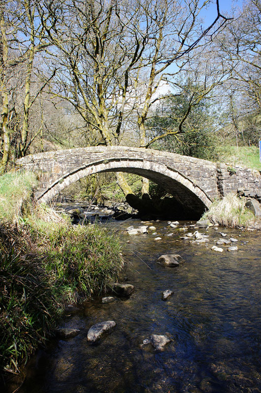
Washgate Bridge over the River Dove. This was a delightful spot to take a fifteen minute break. So peaceful.
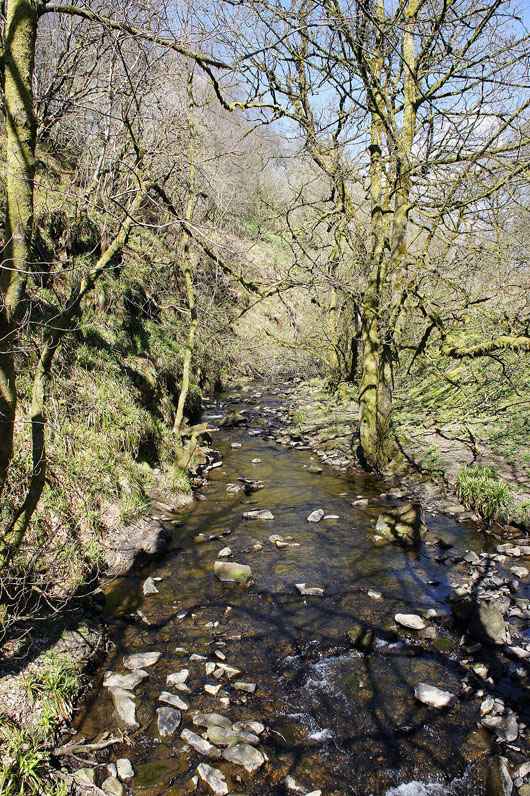
The River Dove from Washgate Bridge
Looking back to Hollinsclough Moor and Willshaw Hill from the path to Brand End
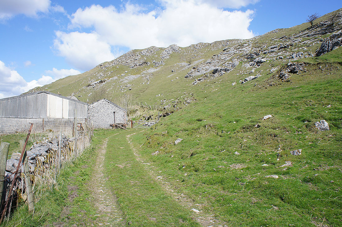
The path then followed the driveway down to Brand End Farm. Much to our relief it didn't go through the farmyard, there was a dog that didn't appreciate seeing us.
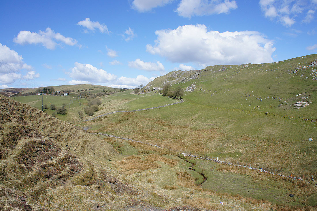
It was here that the character of the landscape changed. As we crossed the brook below we went from gritstone to limestone country.
Below Thirkelow Rocks
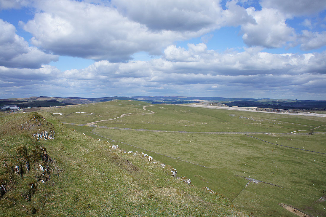
Finally at High Edge and it's time to have lunch. There'll be a better view of the countryside around the Dove valley and where we're going from the other top.
Looking north to Combs Moss
Wolf Edge, Axe Edge and Axe Edge Moor
On the other top. Combs Moss on the left with Kinder Scout in the distance.
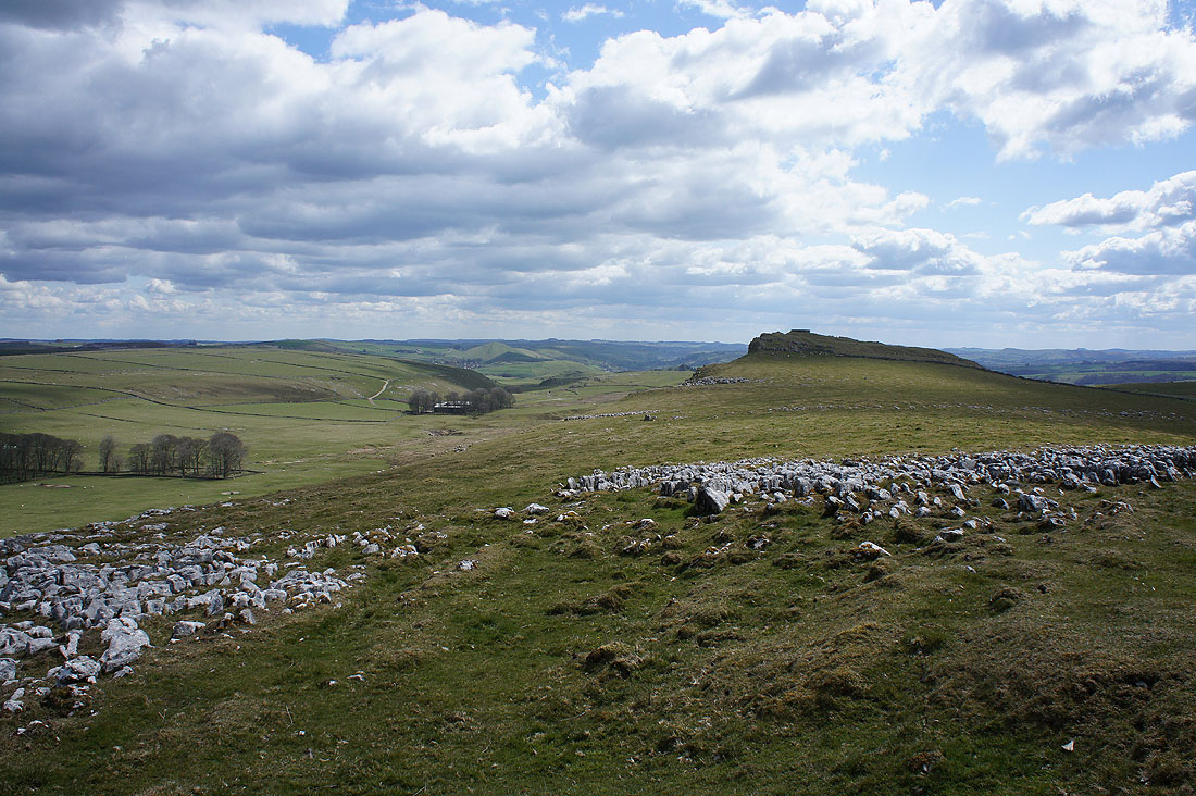
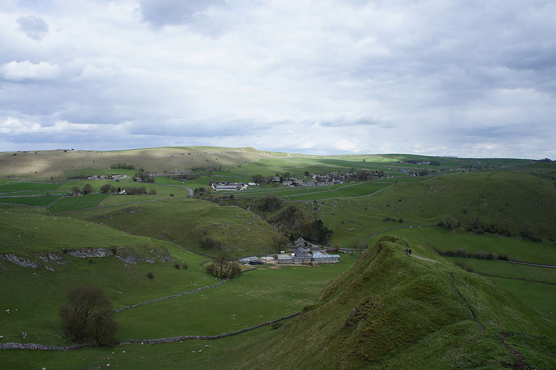
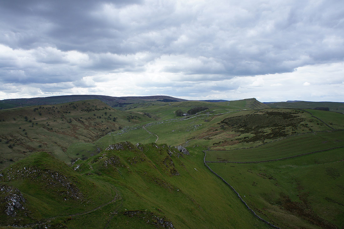
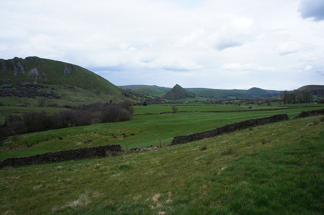
and looking southeast to Dowel Dale and the top of Chrome Hill
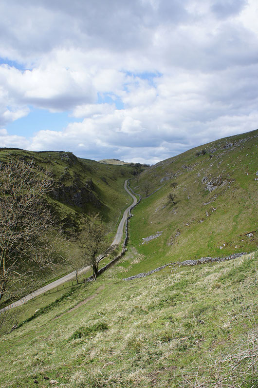
On the road to Dowel Dale past the driveway to Stoop Farm
Heading down Dowel Dale. Who turned out the lights? The cloud is certainly building up now.
Leaving Dowel Dale behind..
..for the path towards Earl Sterndale
The sun comes out and brightens up the scene at Glutton Grange
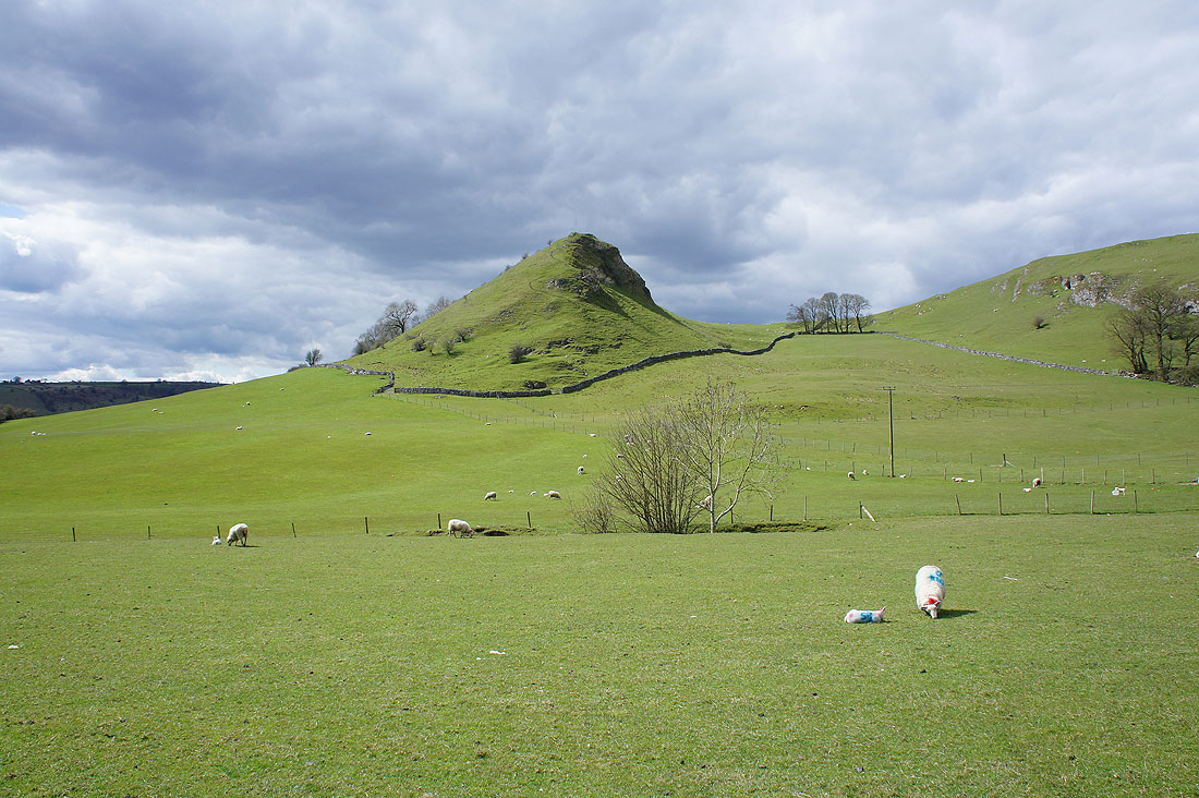
Parkhouse Hill now looms large. We can't ignore the steepness of the climb to come.
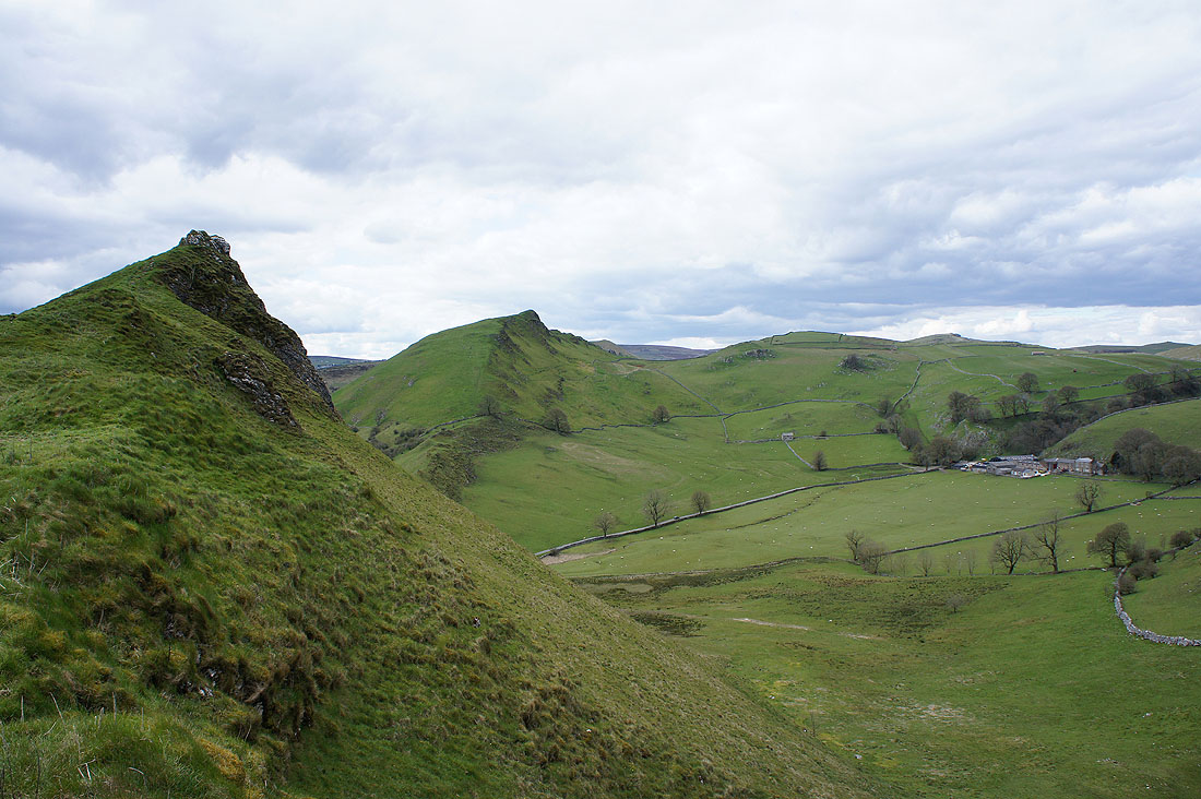
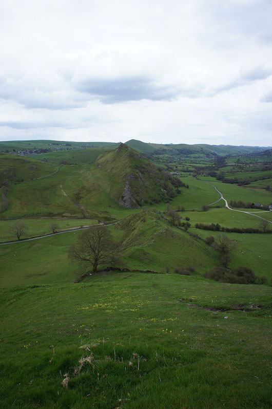
Nearing the top of Parkhouse Hill and looking round the corner to Chrome Hill
and a proper view of Chrome Hill from the summit
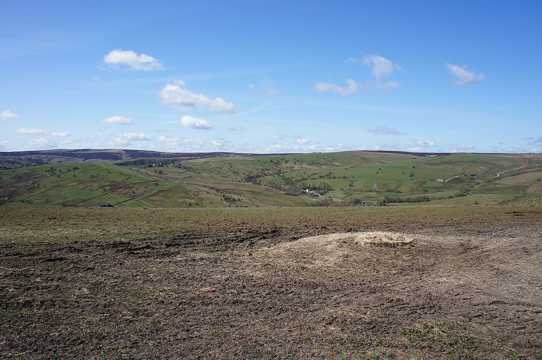
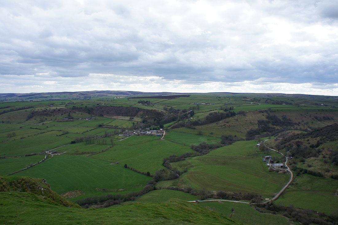
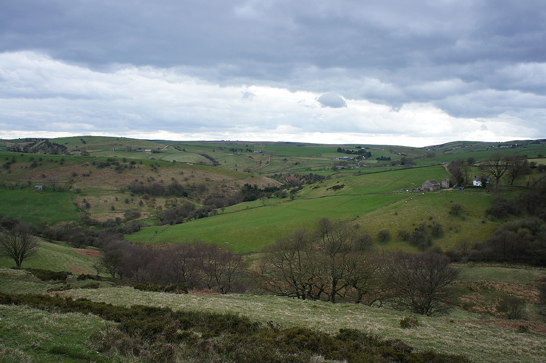
Earl Sterndale, Glutton Dale and Glutton Grange
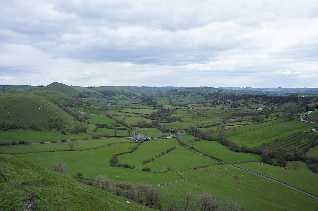
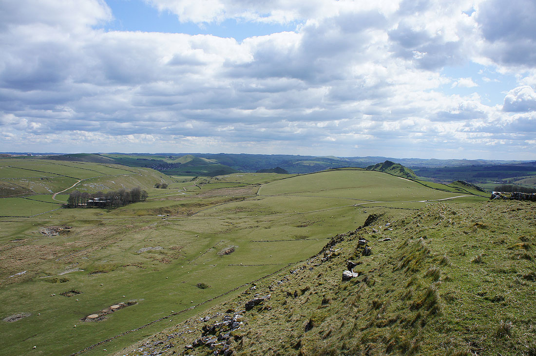
Looking southeast down the Dove valley with the top of High Wheeldon on the left
Looking back to Parkhouse Hill as we do the longer but less steep climb up Chrome Hill
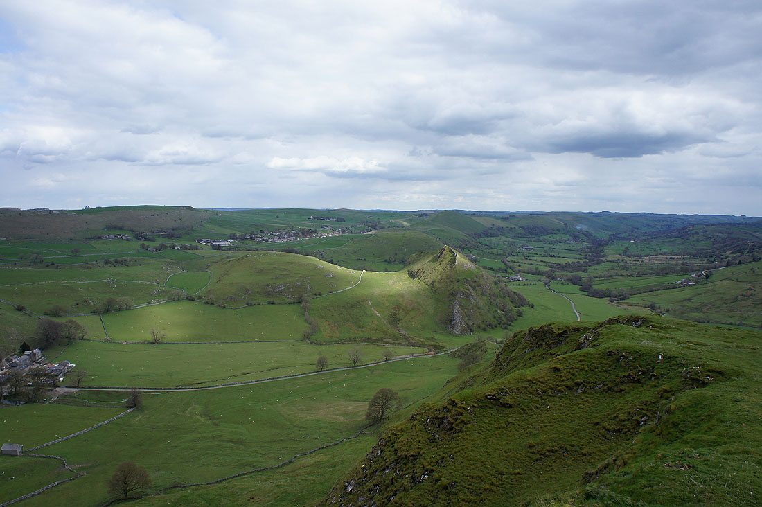
A patch of sunshine drifts across the top of Parkhouse Hill as we reach the summit of Chrome Hill
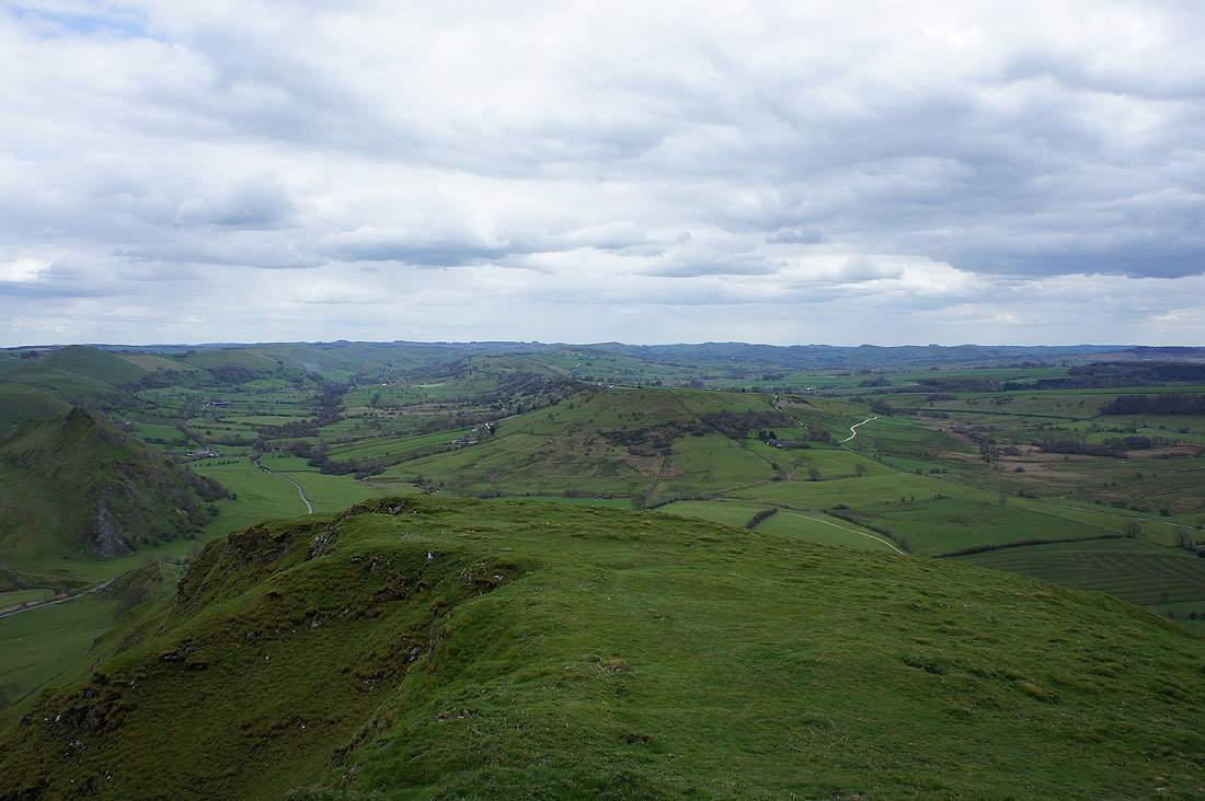
The White Peak around the valleys of the Dove and Manifold to the southeast
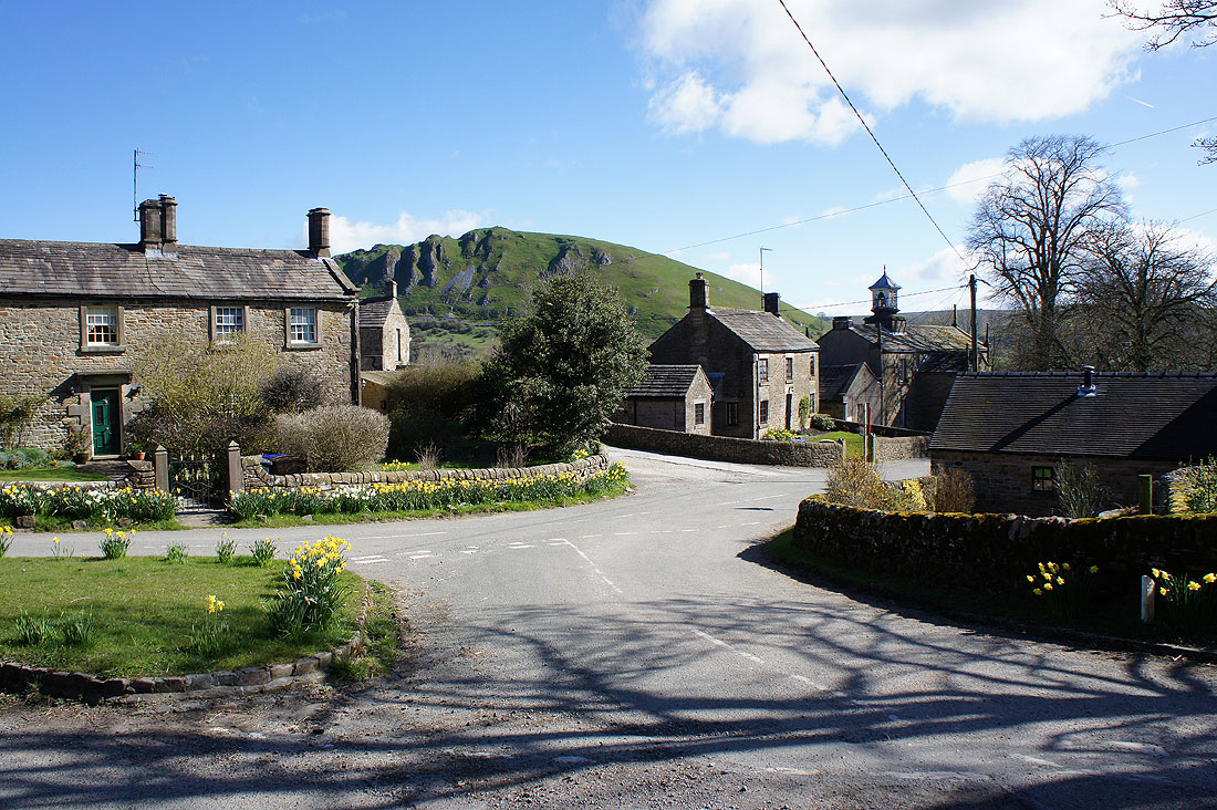
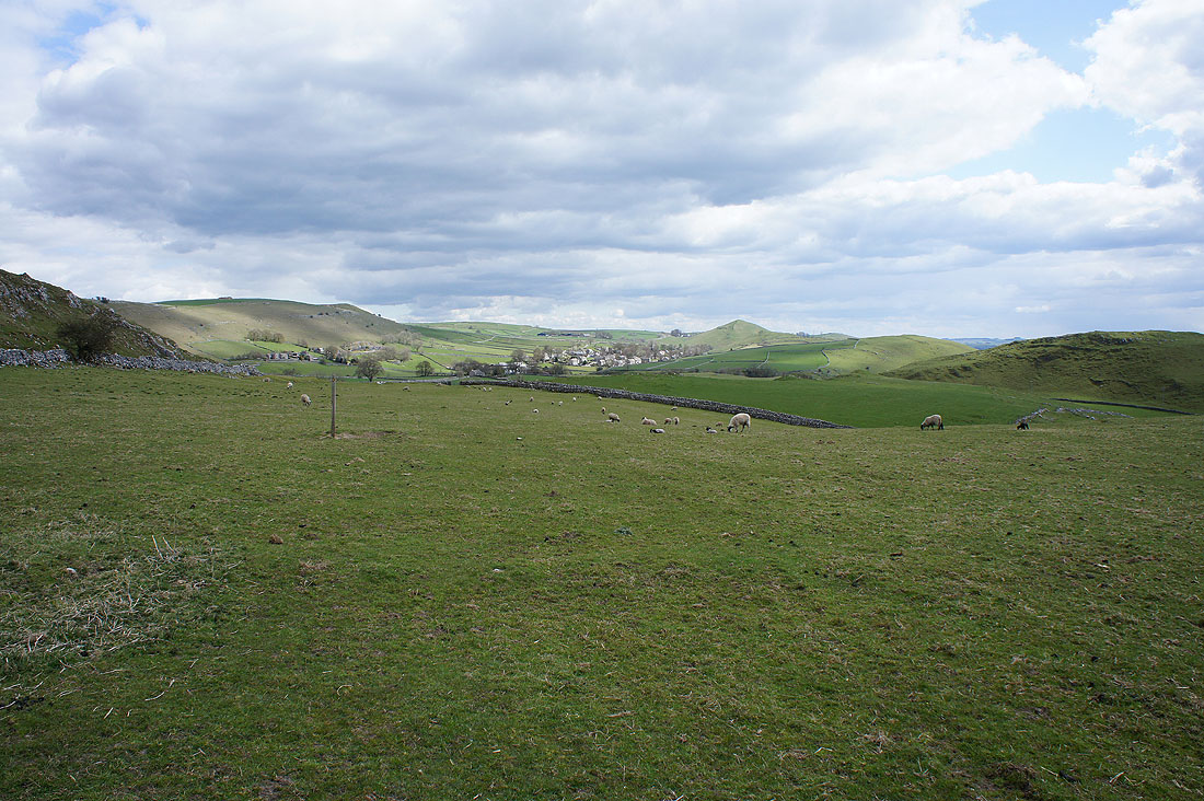
The hamlet of Hollinsclough backed by Hollinsclough Moor
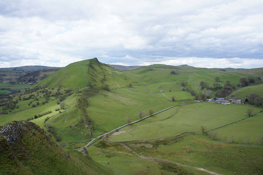
Axe Edge and Axe Edge Moor in the distance; Hollins Hill, High Edge and the northwest ridge of Chrome Hill, our route of descent
A bit of brightness over a distant Kinder Scout
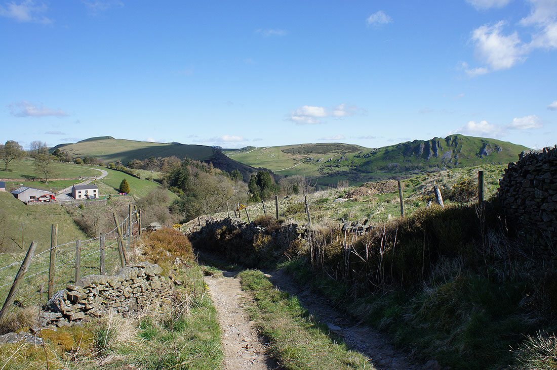
Chrome Hill from the path to Booth Farm
On the bridleway to Fough and that cleft in the hills hides Washgate Bridge across the River Dove, where we were earlier in the day
Nearly back in Hollinsclough. Parkhouse Hill round the side of Chrome Hill.
Back in Hollinsclough. Quite a change from this morning.