23rd April 2017 - Bleaklow
Walk Details
Distance walked: 8.1 miles
Total ascent: 1927 ft
OS map used: OL1 - The Peak District, Dark Peak area
Time taken: 6.5 hrs
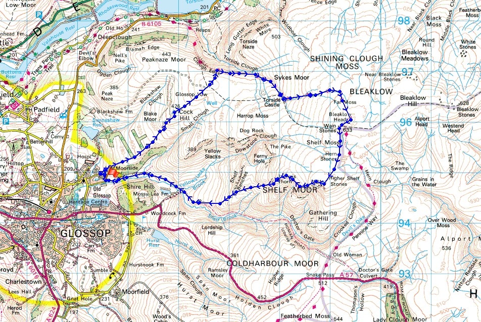
Route description: Shepley Street, Old Glossop-Hope Street-Charles Lane-Glossop Low Quarry Track-Cock Hill-Glossop Low-Clough Edge-Pennine Way-Bleaklow Head-Wain Stones-Hern Stones-Higher Shelf Stones-Lower Shelf Stones-James's Thorn-Doctor's Gate-Shepley Street, Old Glossop
After doing my first walk in Longdendale last weekend it certainly hasn't taken me long to achieve the other objective that I'd set myself, reaching the summit of Bleaklow. I definitely did the two walks the right way round. Today was a much better day for visiting the second highest point in the Peak District than last weekend would have been. Blue skies, warm sunshine and great visibility though there was a strong breeze on the tops that strengthened in the afternoon and made it feel pretty fresh. This is a walk that I would certainly do again. Picking the right day is essential though for enjoying your time spent up there and having recent dry weather doesn't hurt either. I knew that the section from Bleaklow Head across to Higher Shelf Stones would be the boggiest part of the route. Even today there were a few bits that were tricky to get across. I wouldn't like to encounter them after weeks of wet weather.
From the turning circle at the eastern end of Shepley Street in Old Glossop I walked north up Hope Street and round to the left before taking a sharp right onto Charles Lane. After walking up this lane for a short distance a marker post is soon reached indicating the path to open country, which I took. This takes the form of a rough track enclosed by walls that makes its way up the hillside past two conifer plantations to the open moor, the disused quarry on Cock Hill and the trig point above them. I then carried on along a clear path to the cairn on the top of Glossop Low, past it and down to Clough Edge where I joined the trail of the Pennine Way, which I followed up Torside Clough and Wildboar Grain to the large cairn that marks Bleaklow Head and then the Wain Stones. After taking lunch here a clear enough path was followed south across the moor to Hern Stones and then to the trig point at Higher Shelf Stones. This was the boggiest bit of the walk and the remains of the Boeing B-29 Superfortress can be seen just to the north of Higher Shelf Stones. For my route back to Old Glossop I followed a path west across the moor past Lower Shelf Stones and James's Thorn before heading downhill to a track just south of Shelf Benches. This joins up with the Doctor's Gate path and after walking down this to cross Yellowslacks Brook I reached the bridleway back to Shepley Street.
Total ascent: 1927 ft
OS map used: OL1 - The Peak District, Dark Peak area
Time taken: 6.5 hrs
Route description: Shepley Street, Old Glossop-Hope Street-Charles Lane-Glossop Low Quarry Track-Cock Hill-Glossop Low-Clough Edge-Pennine Way-Bleaklow Head-Wain Stones-Hern Stones-Higher Shelf Stones-Lower Shelf Stones-James's Thorn-Doctor's Gate-Shepley Street, Old Glossop
After doing my first walk in Longdendale last weekend it certainly hasn't taken me long to achieve the other objective that I'd set myself, reaching the summit of Bleaklow. I definitely did the two walks the right way round. Today was a much better day for visiting the second highest point in the Peak District than last weekend would have been. Blue skies, warm sunshine and great visibility though there was a strong breeze on the tops that strengthened in the afternoon and made it feel pretty fresh. This is a walk that I would certainly do again. Picking the right day is essential though for enjoying your time spent up there and having recent dry weather doesn't hurt either. I knew that the section from Bleaklow Head across to Higher Shelf Stones would be the boggiest part of the route. Even today there were a few bits that were tricky to get across. I wouldn't like to encounter them after weeks of wet weather.
From the turning circle at the eastern end of Shepley Street in Old Glossop I walked north up Hope Street and round to the left before taking a sharp right onto Charles Lane. After walking up this lane for a short distance a marker post is soon reached indicating the path to open country, which I took. This takes the form of a rough track enclosed by walls that makes its way up the hillside past two conifer plantations to the open moor, the disused quarry on Cock Hill and the trig point above them. I then carried on along a clear path to the cairn on the top of Glossop Low, past it and down to Clough Edge where I joined the trail of the Pennine Way, which I followed up Torside Clough and Wildboar Grain to the large cairn that marks Bleaklow Head and then the Wain Stones. After taking lunch here a clear enough path was followed south across the moor to Hern Stones and then to the trig point at Higher Shelf Stones. This was the boggiest bit of the walk and the remains of the Boeing B-29 Superfortress can be seen just to the north of Higher Shelf Stones. For my route back to Old Glossop I followed a path west across the moor past Lower Shelf Stones and James's Thorn before heading downhill to a track just south of Shelf Benches. This joins up with the Doctor's Gate path and after walking down this to cross Yellowslacks Brook I reached the bridleway back to Shepley Street.
Walk Details
© Crown copyright. All rights reserved. License number PU 100034184.
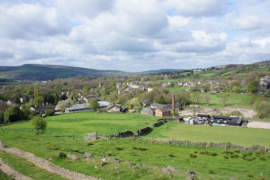
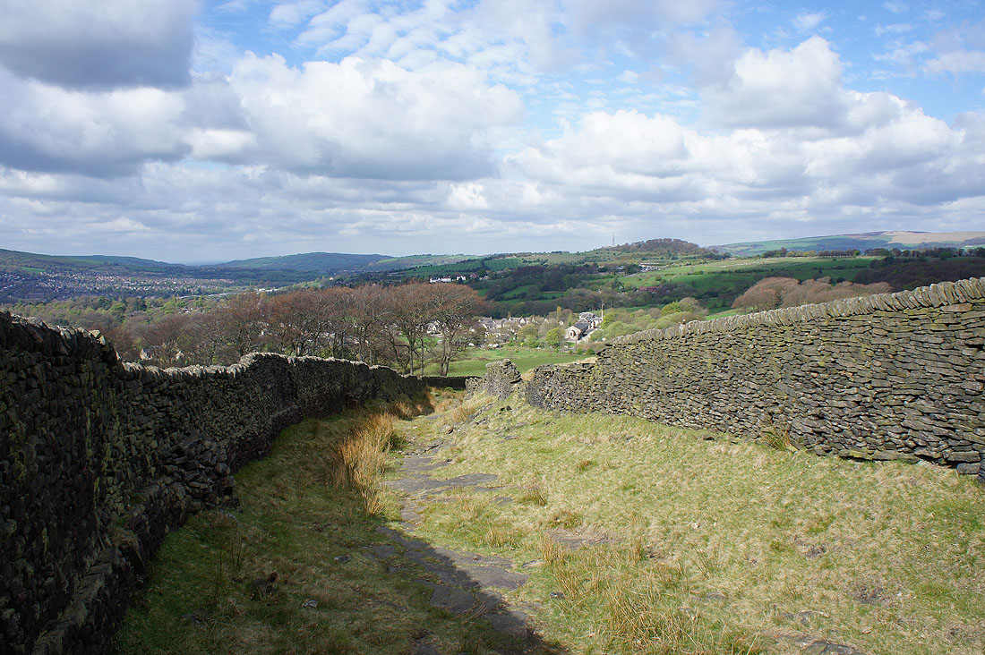
Looking back to Old Glossop as I follow the track up to open country..
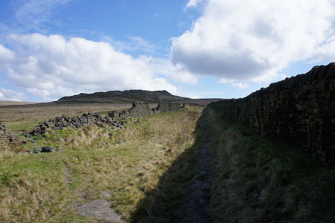
Ahead are the disused quarries on Cock Hill
Looking across to the western slopes of Bleaklow
Looking back towards Glossop. My route up went along the left hand edge of the conifers then between the walls to the open moor.
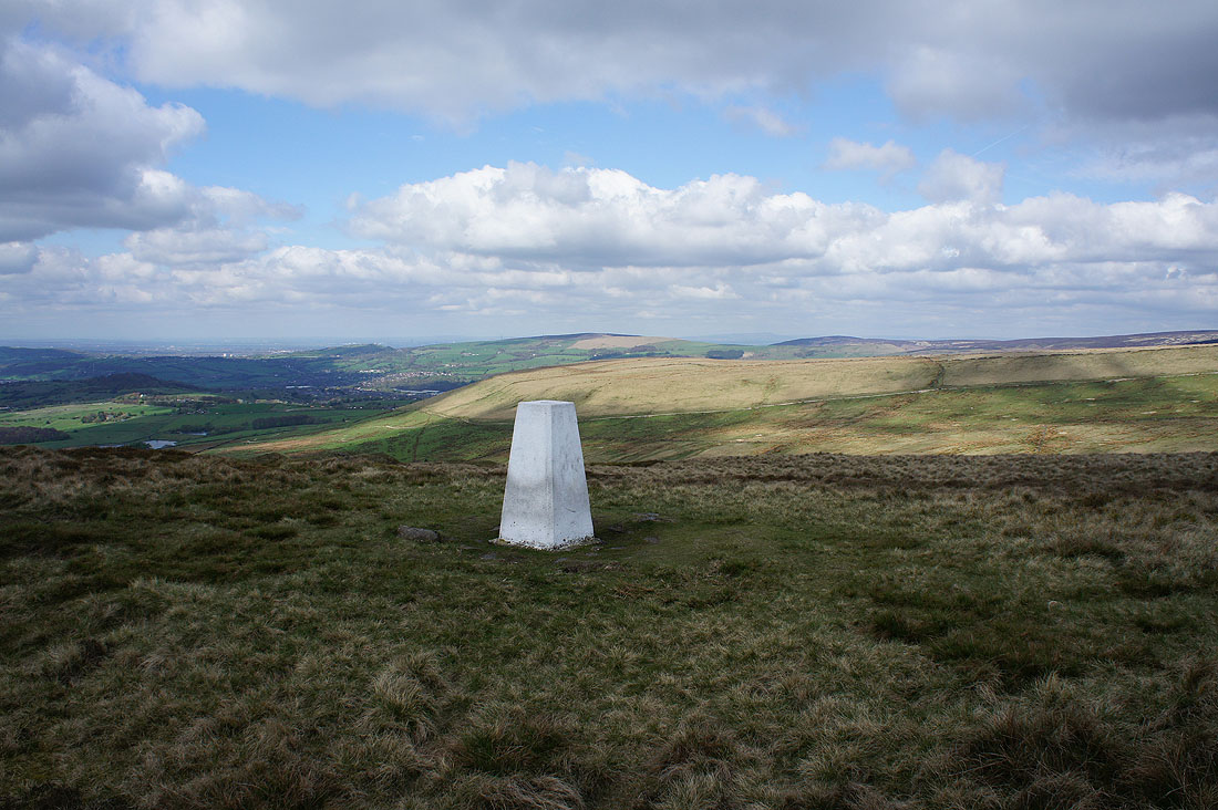
At the trig point on Cock Hill with the western slopes of Bleaklow and Kinder Scout in the background
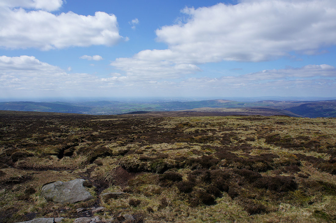
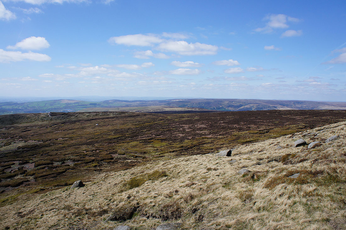
Glossop and the moors that surround the western end of Longdendale to the west
Peaknaze Moor on the other side of Blackshaw Clough
Great looking sky as I head for Glossop Low
At the cairn on Glossop Low with Black Hill to the north on the other side of Longdendale
As well as Millstone Rocks and Featherbed Moss..
..to Hollingworthall Moor
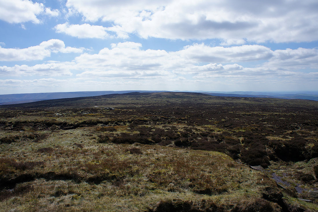
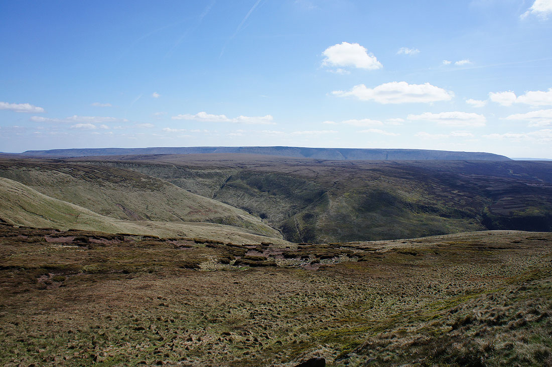
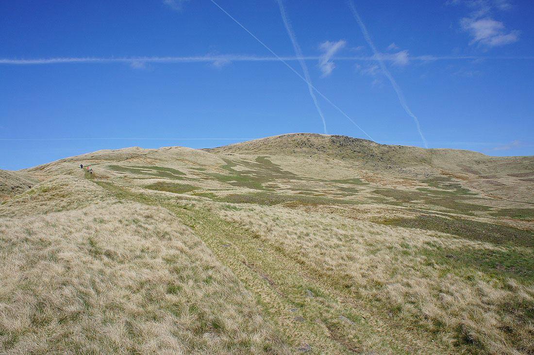
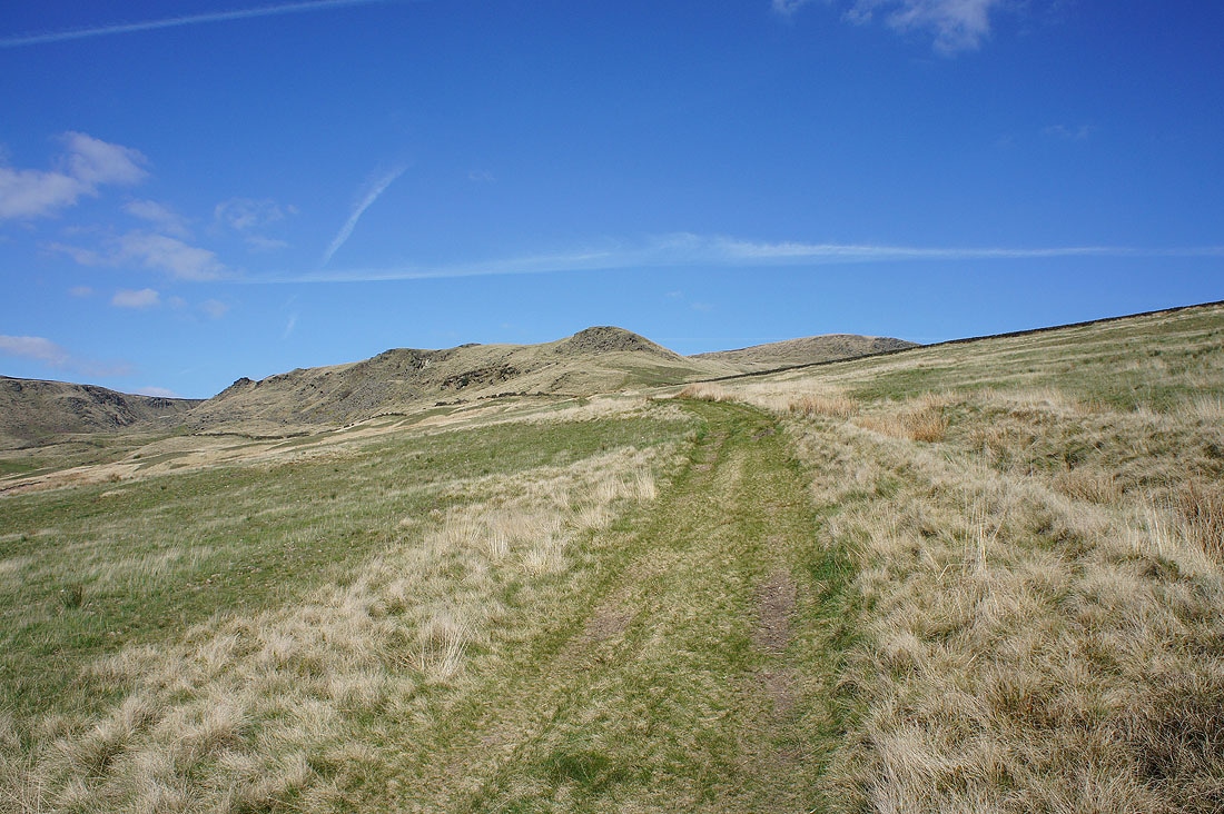
The sprawling slopes of Bleaklow up to Bleaklow Head and Higher Shelf Stones
The western slopes of Kinder Scout and Coombes Edge
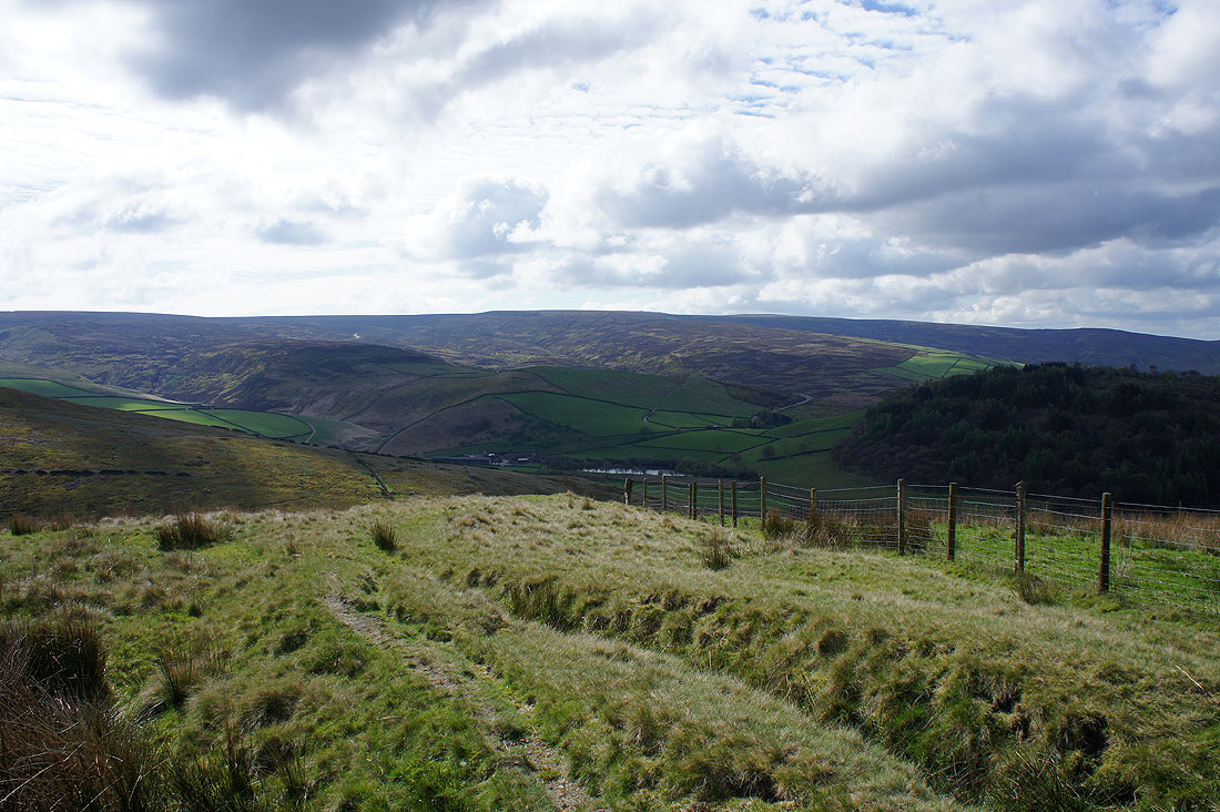
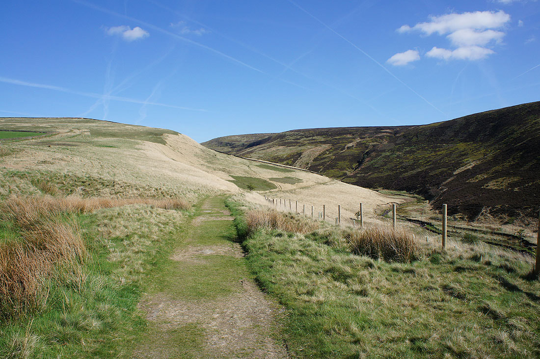
As I start to near Clough Edge Longdendale appears below
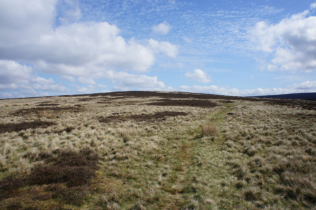
On Clough Edge
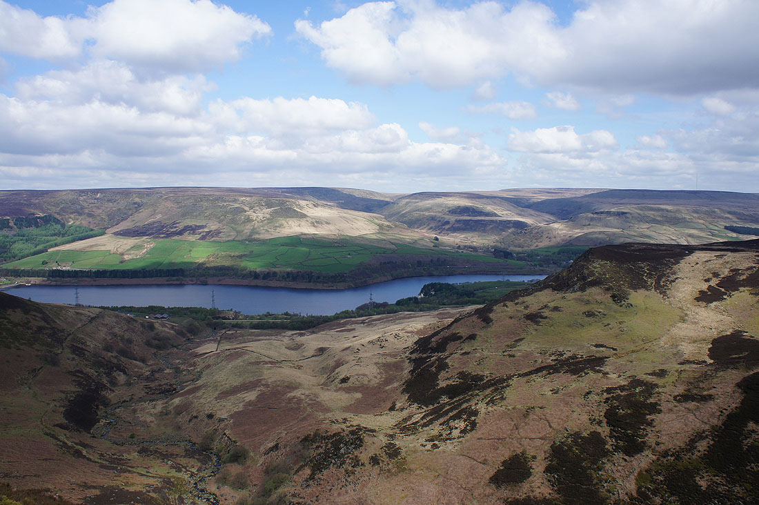
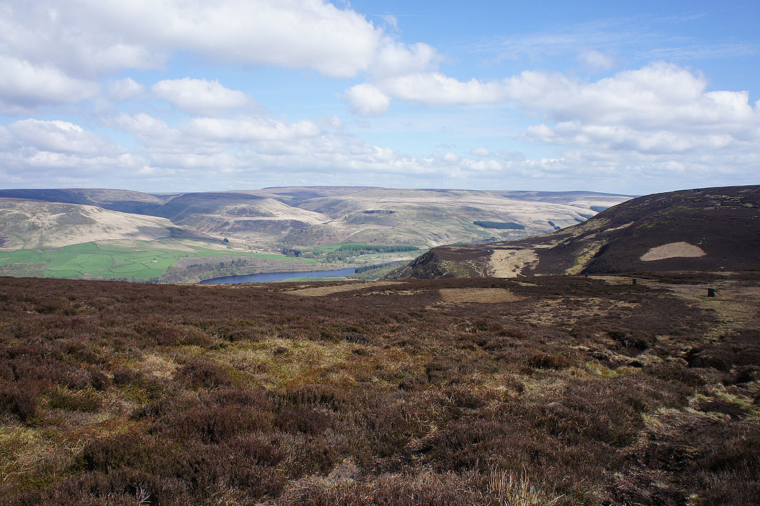
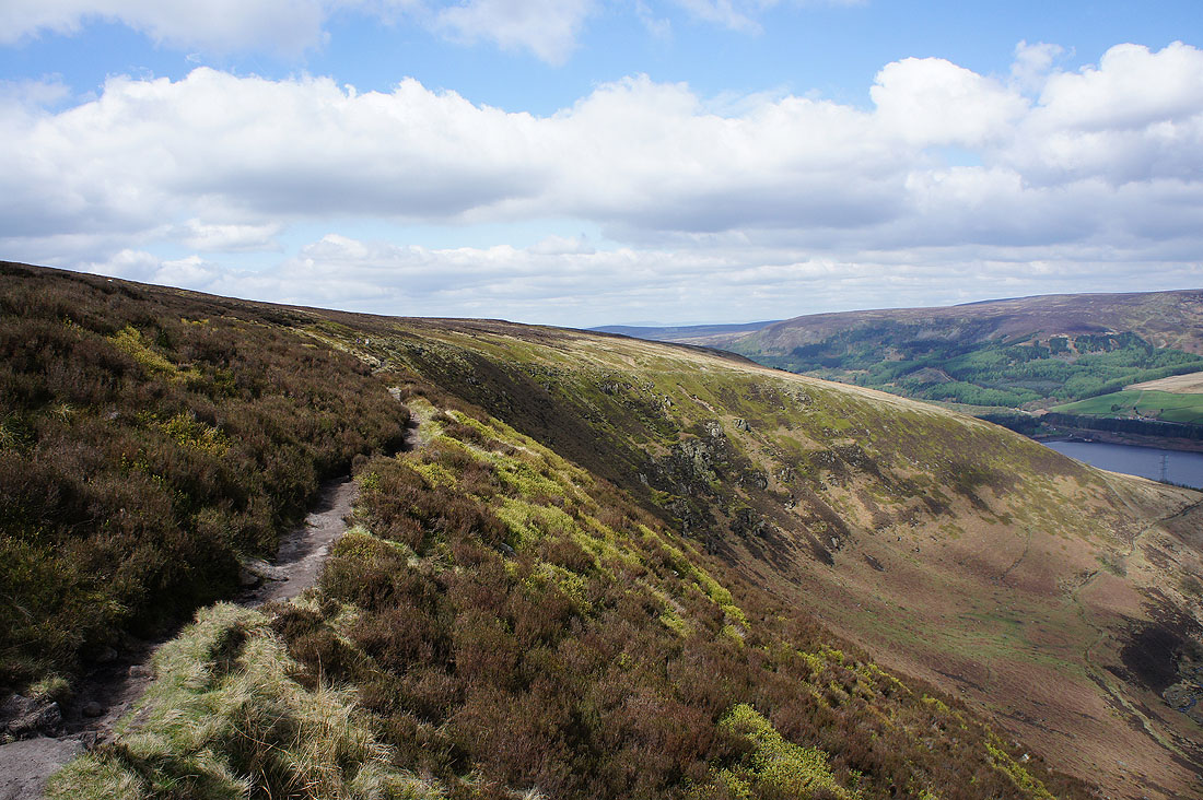
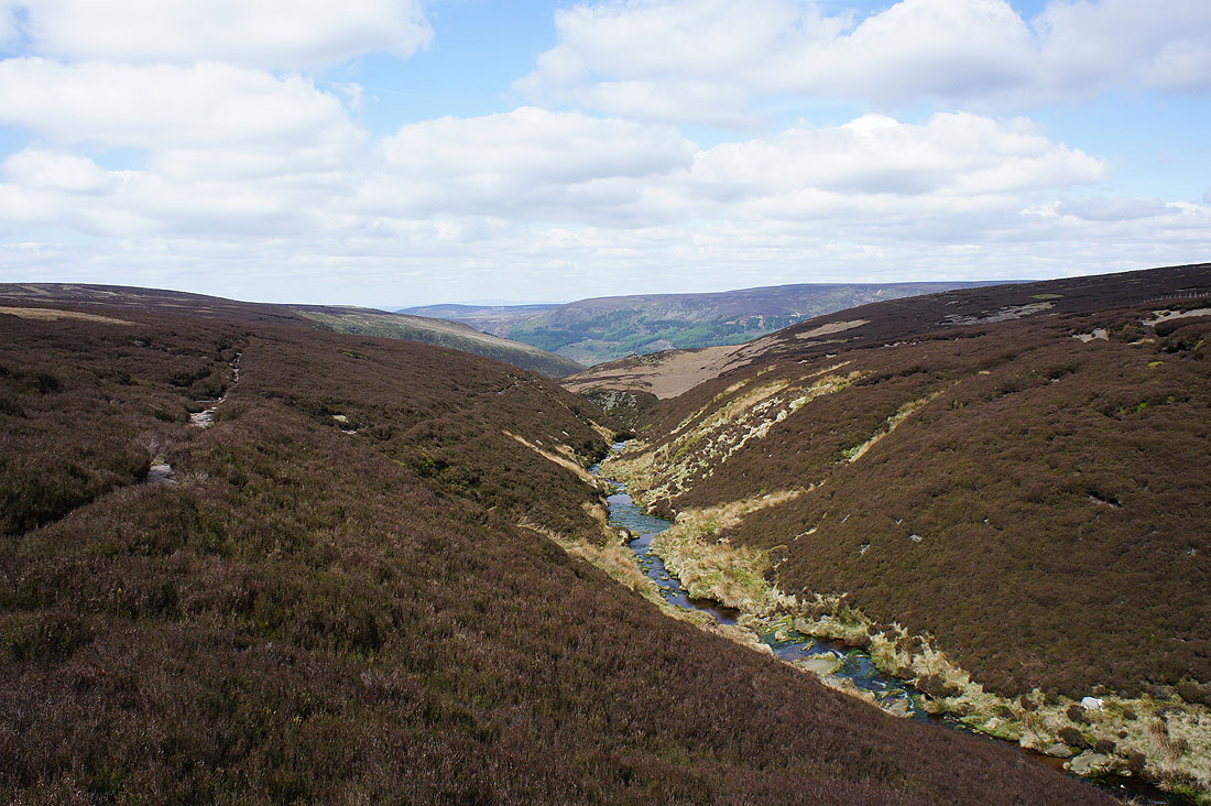
Looking down Torside Clough and across Torside Reservoir to the moorland around Crowden
My route now follows the trail of the Pennine Way up the edge of Torside Clough
Great views back down the clough..
The Pennine Way takes a left turn and crosses Wildboar Grain to follow it uphill..

The bright green of new growth on the bilberries brightens up the moors
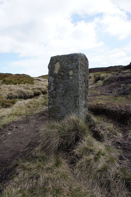
Pennine Way marker
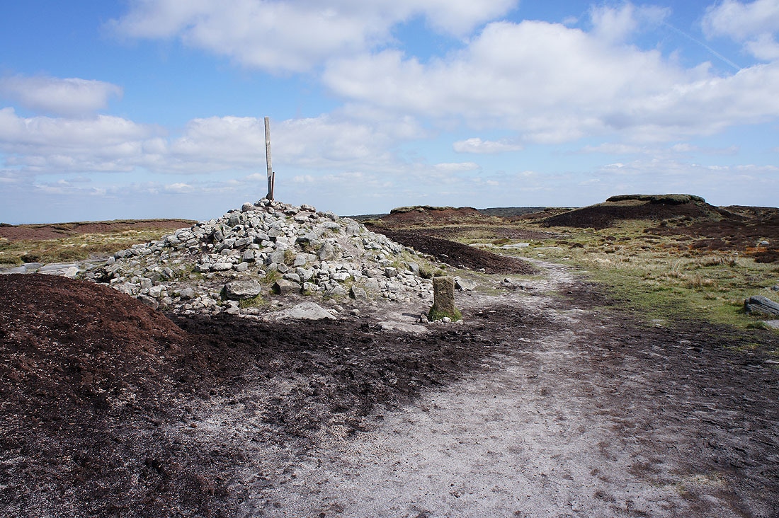
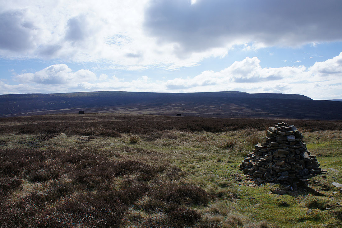
At the large cairn that marks Bleaklow Head
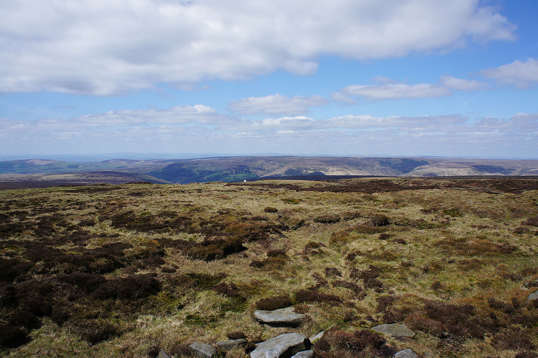
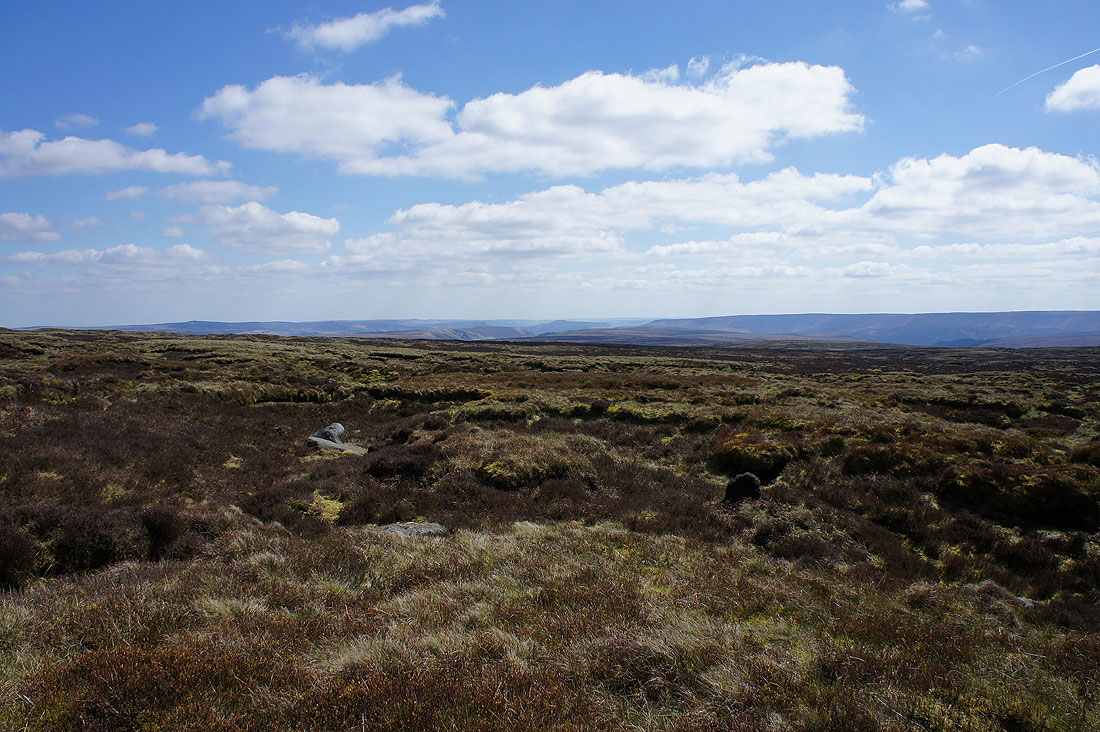
The surrounding moorland is more or less the same height as where I am so the view is quite restricted. I can see Laddow Moss, Black Hill and Holme Moss to the north.
To the northwest is the faint outline of Winter Hill and the West Pennine Moors beyond the moors at the western end of Longdendale
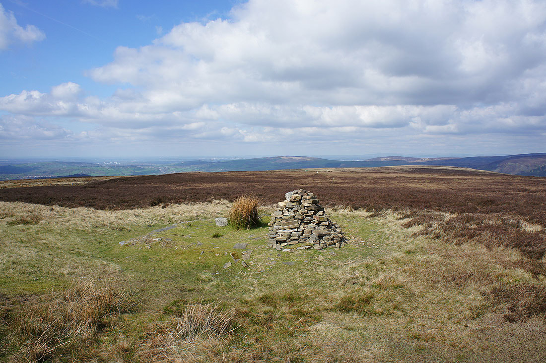
Pucker up, it's the Wain Stones. This is supposed to be the high point of Bleaklow, though I found that hard to believe looking around.
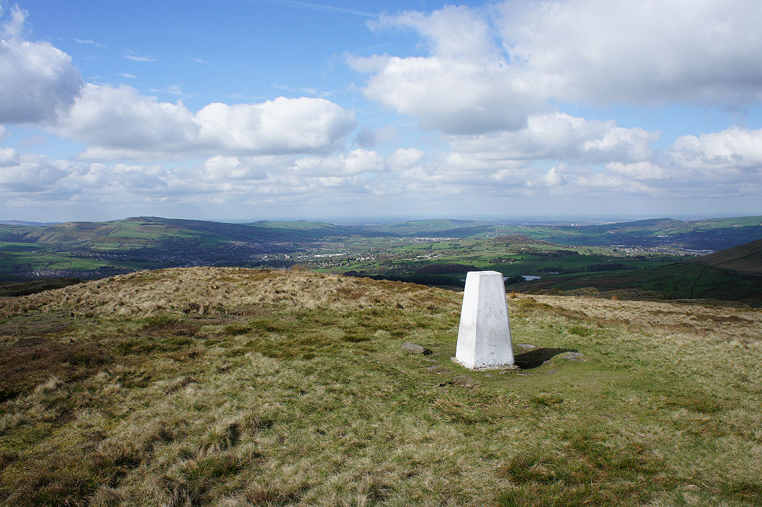
There is a better view from here than from Bleaklow Head. Looking west to Manchester in the distance.
Featherbed Moss, Laddow Moss and..
..Black Hill on the other side of Longdendale
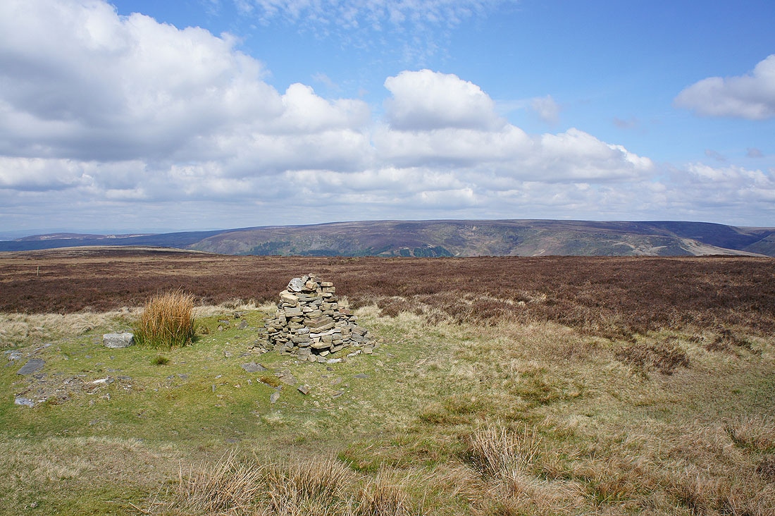
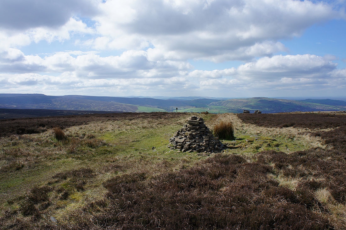
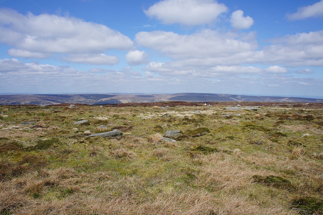
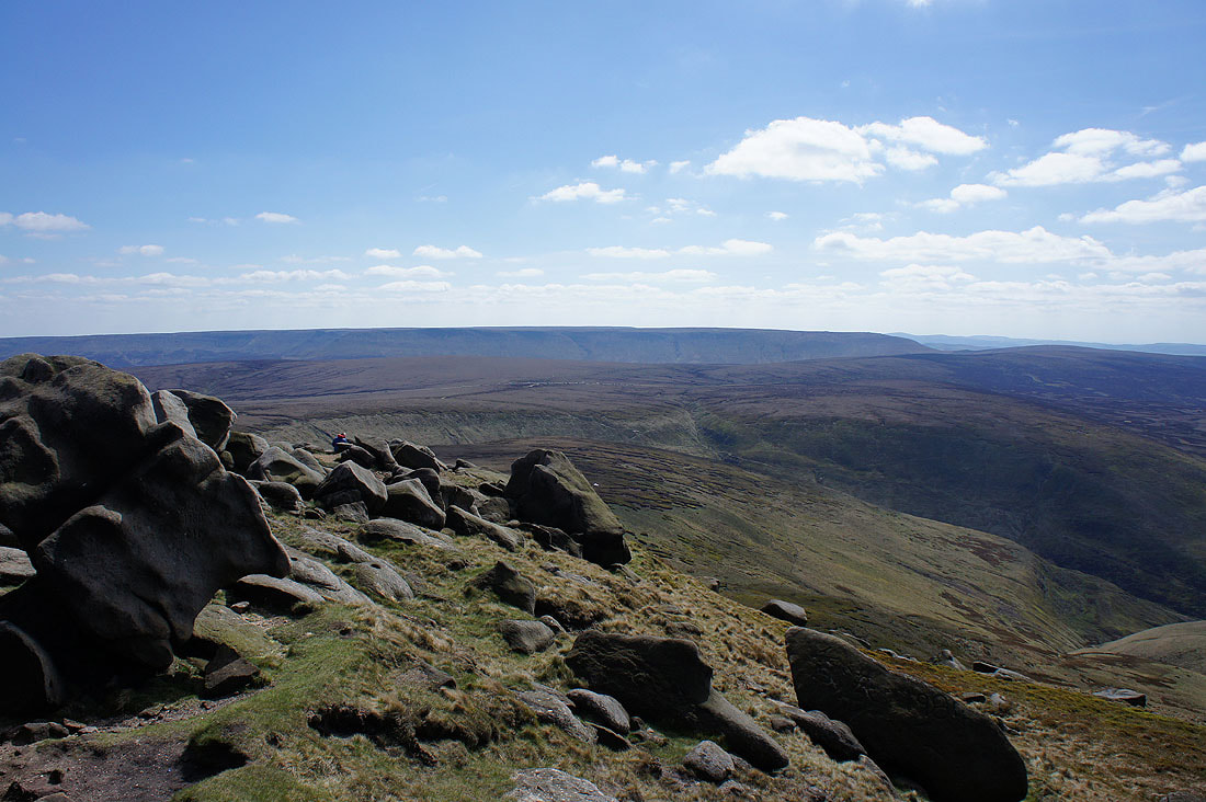
Looking south towards Higher Shelf Stones
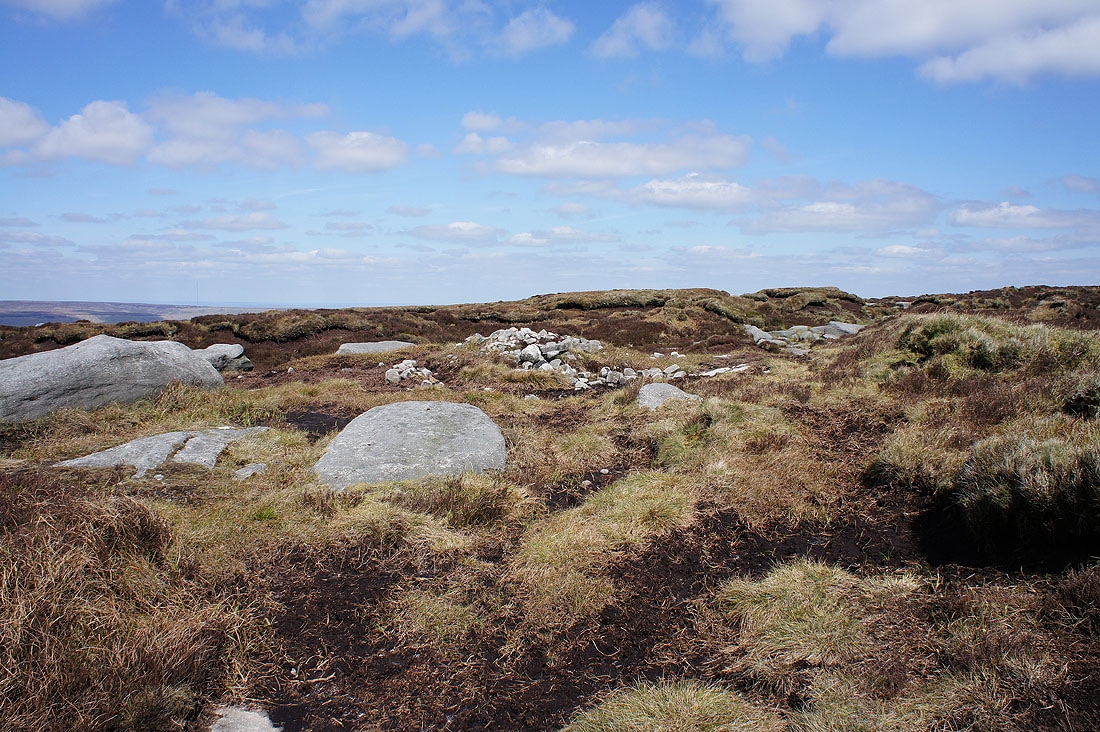
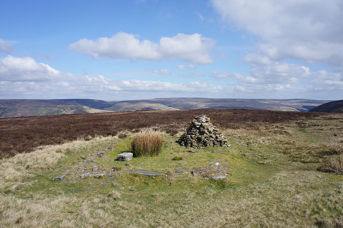
A meagre cairn for the high point of Bleaklow
Looking southeast and I can make out Back Tor, Derwent Edge, Win Hill and the eastern half of Kinder Scout
Back Tor and Derwent Edge in the distance from Hern Stones
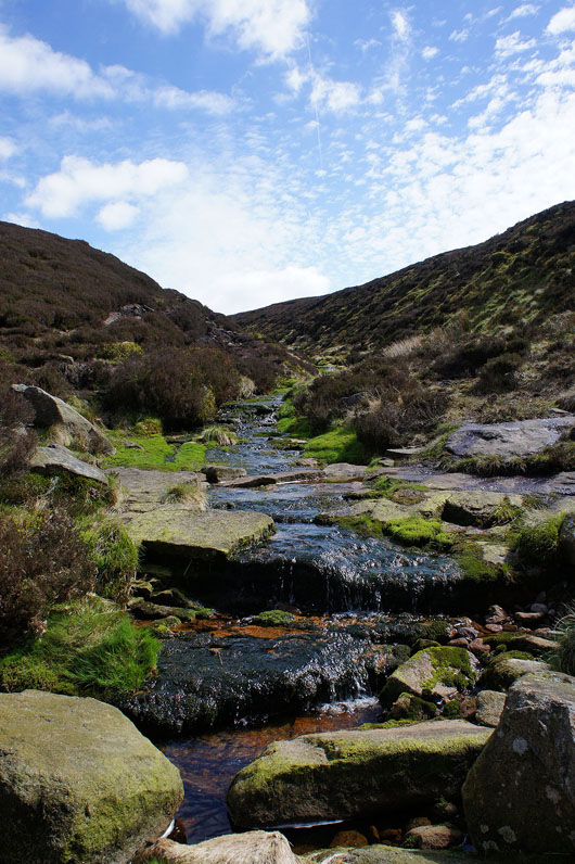
Looking back north to the moorland around Wain Stones and Bleaklow Head. There were a few boggy bits to negotiate to reach here.
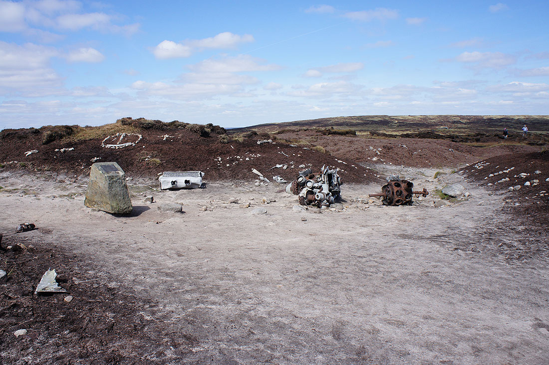
Just a small part of the wreckage of the Boeing B-29 Superfortress that crashed near Higher Shelf Stones on 3rd November 1948
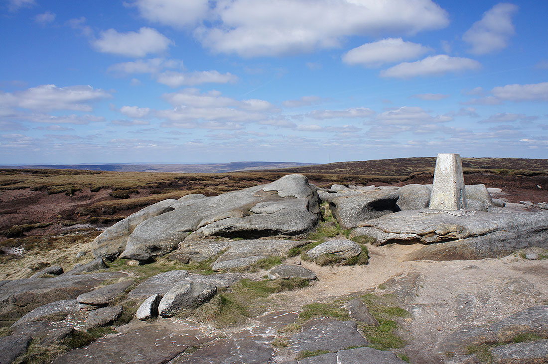
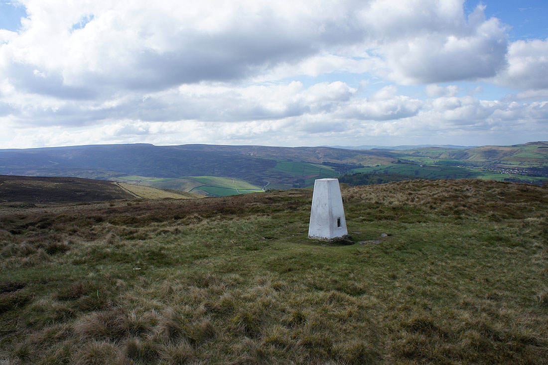
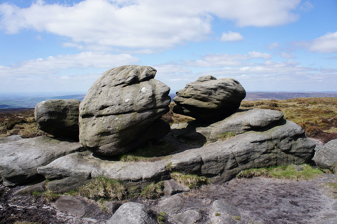
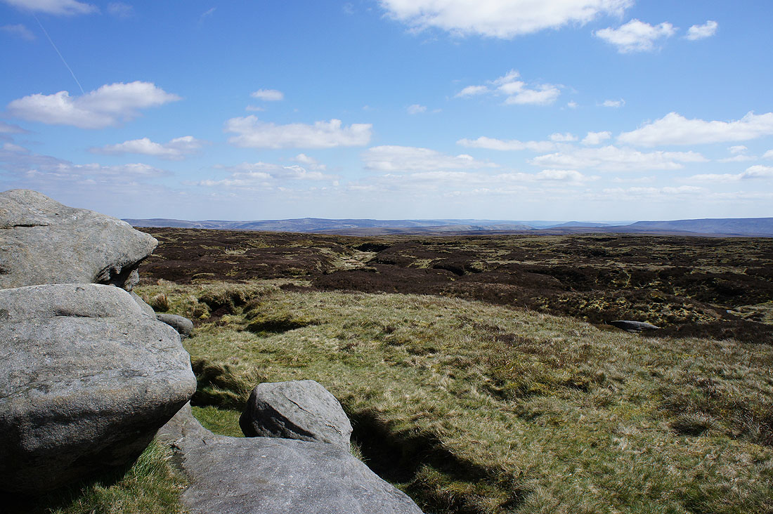
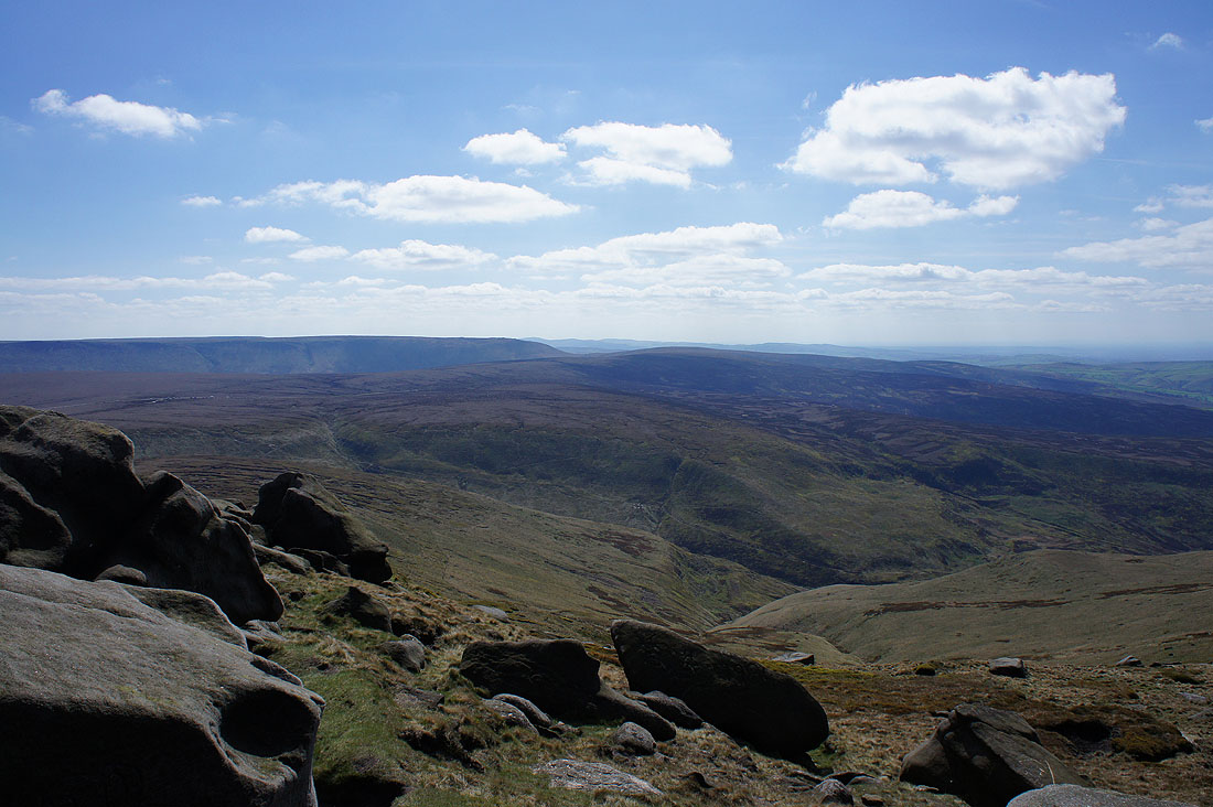
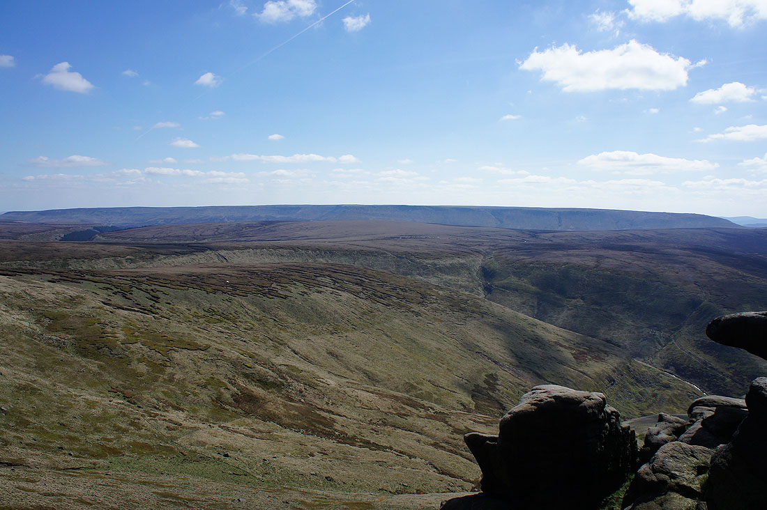
At the trig point on Higher Shelf Stones. This was definitely my favourite bit of the walk. The steep drop down to Shelf Brook gave some depth to the view between south and west.
Grinah Stones and the moorland around the Upper Derwent Valley to the east
Back Tor, Derwent Edge, Win Hill and the eastern half of Kinder Scout
The western half of Kinder Scout on the other side of the Snake Pass
If I turn a little to the right I can make out the moors above the Goyt Valley behind Kinder Scout and Mill Hill
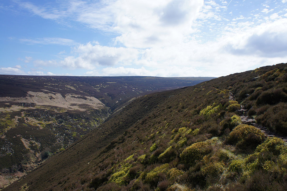
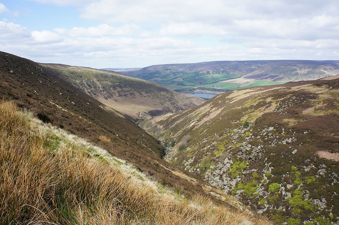
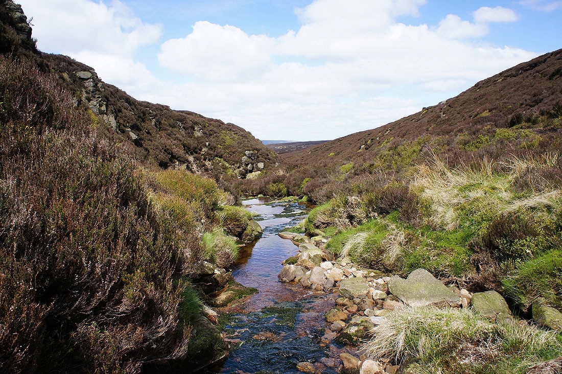
Looking down the valley of Shelf Brook
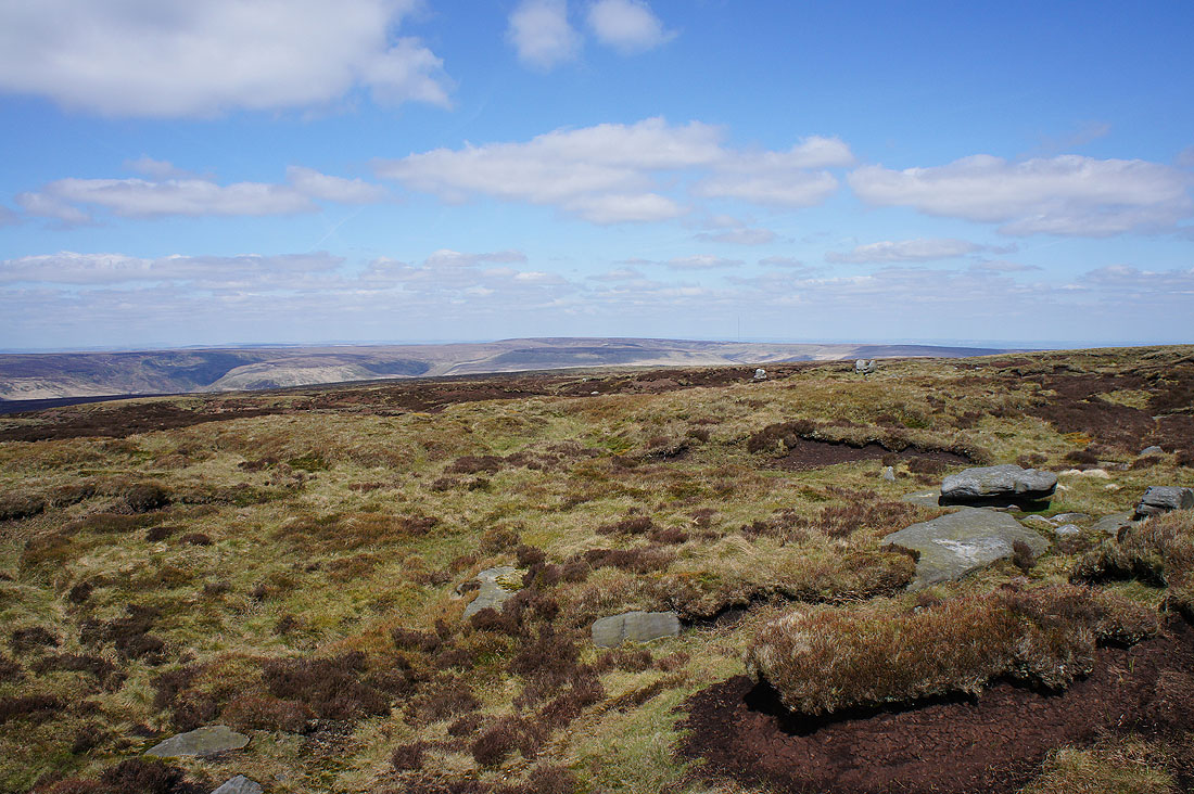
Laddow Moss and Black Hill beyond nearby Shelf Moor
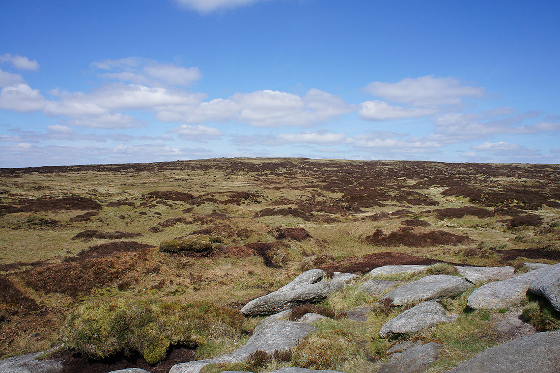
The whole of Kinder Scout from Lower Shelf Stones
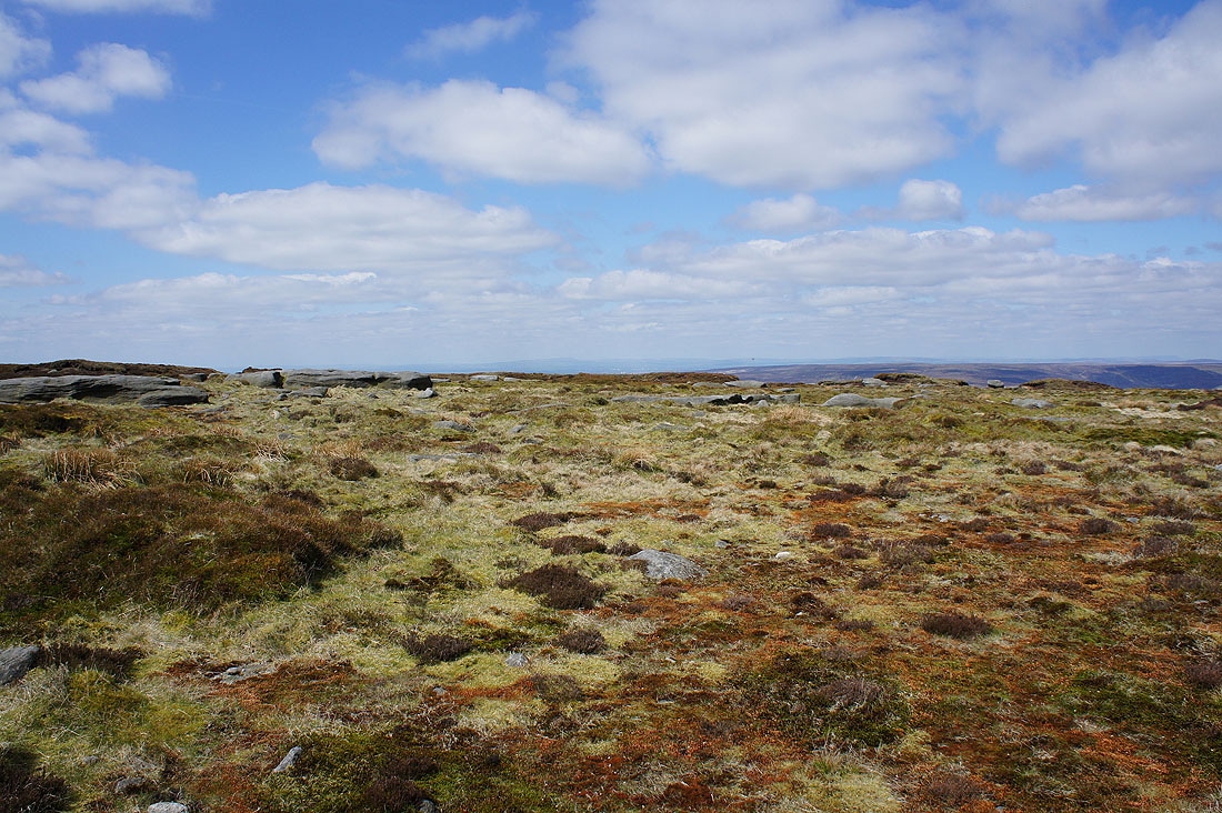
Looking back to Higher Shelf Stones
The faint outline of distant West Pennine Moors beyond those at the western end of Longdendale
Crooked Clough and Kinder Scout from James's Thorn
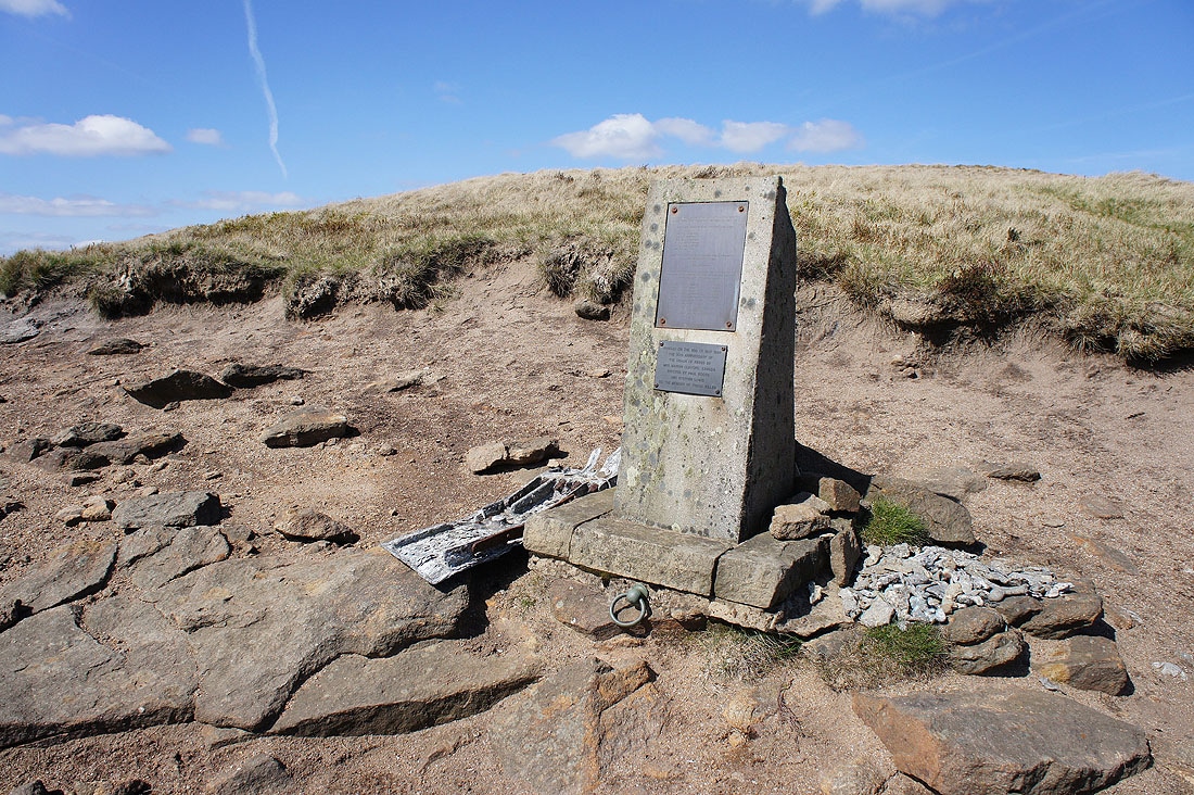
The memorial to the Lancaster bomber that crashed here on 18th May 1945
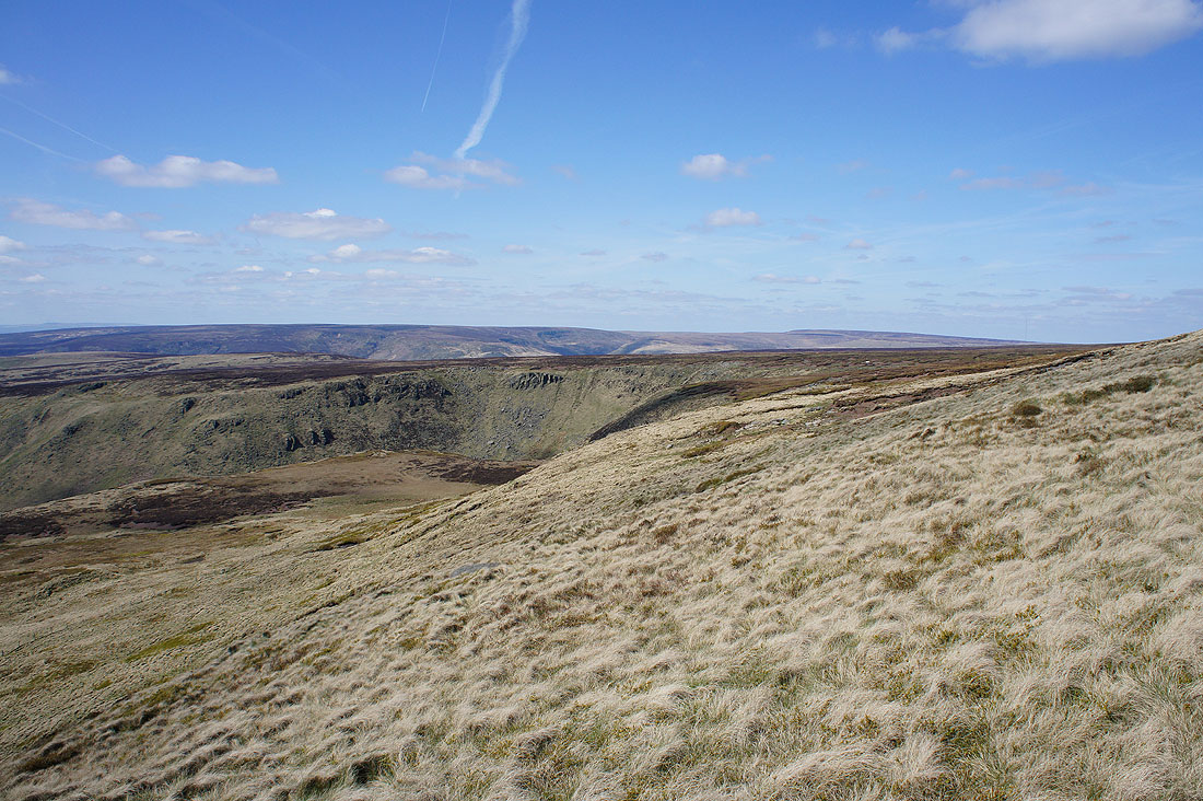
The crags above Yellowslacks Brook to the north
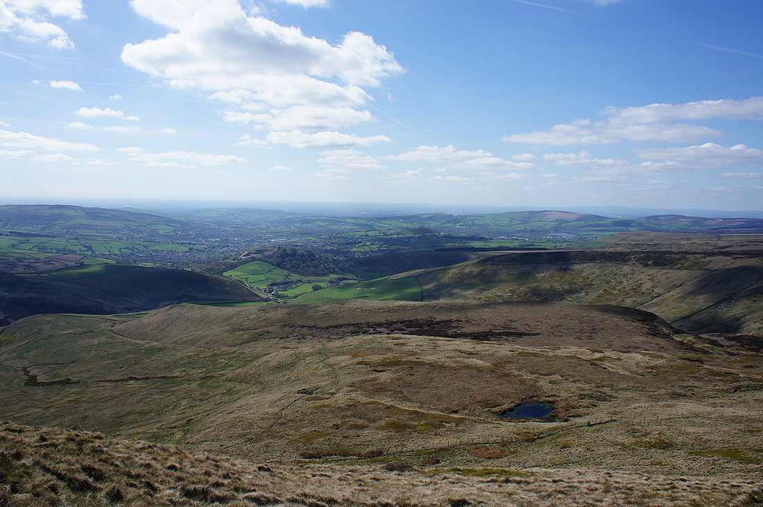
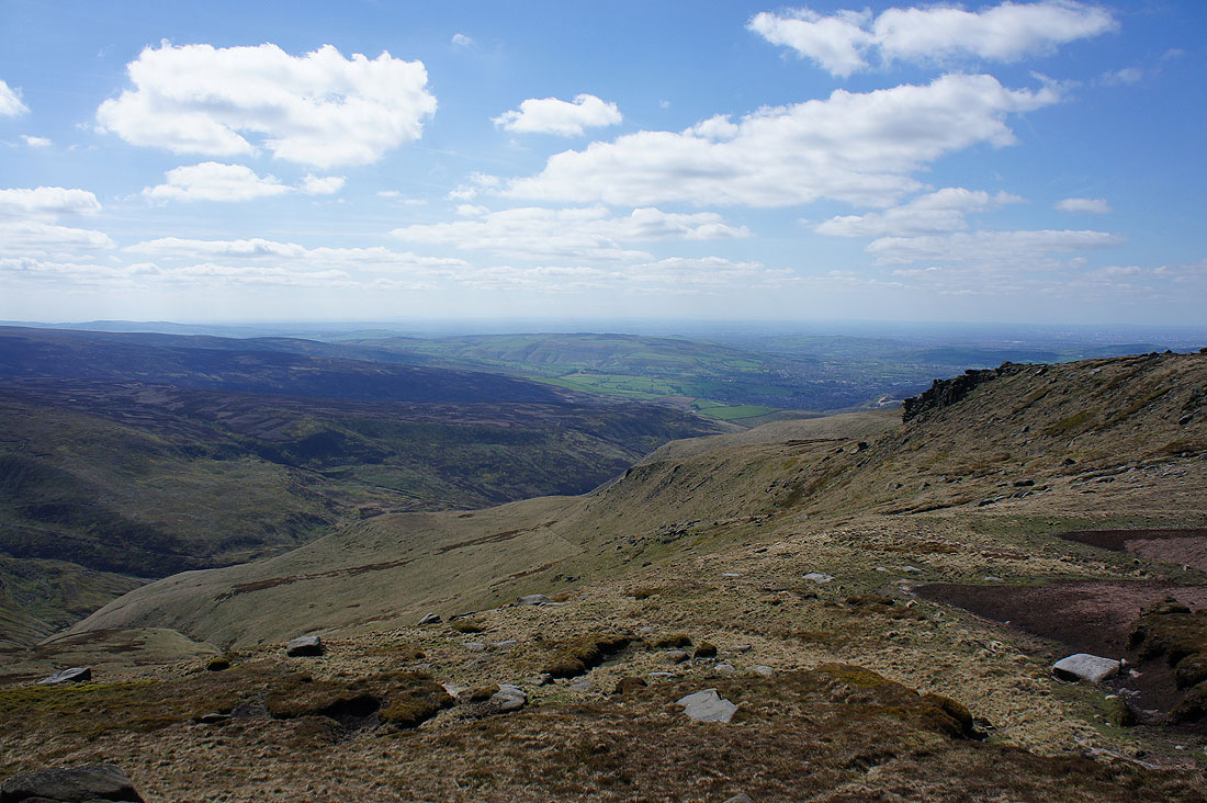
Glossop out to the west. I can see a path on the hillside below that will be my route down.
I do like the look of those crags. A walk above them would make a good route for a future visit.
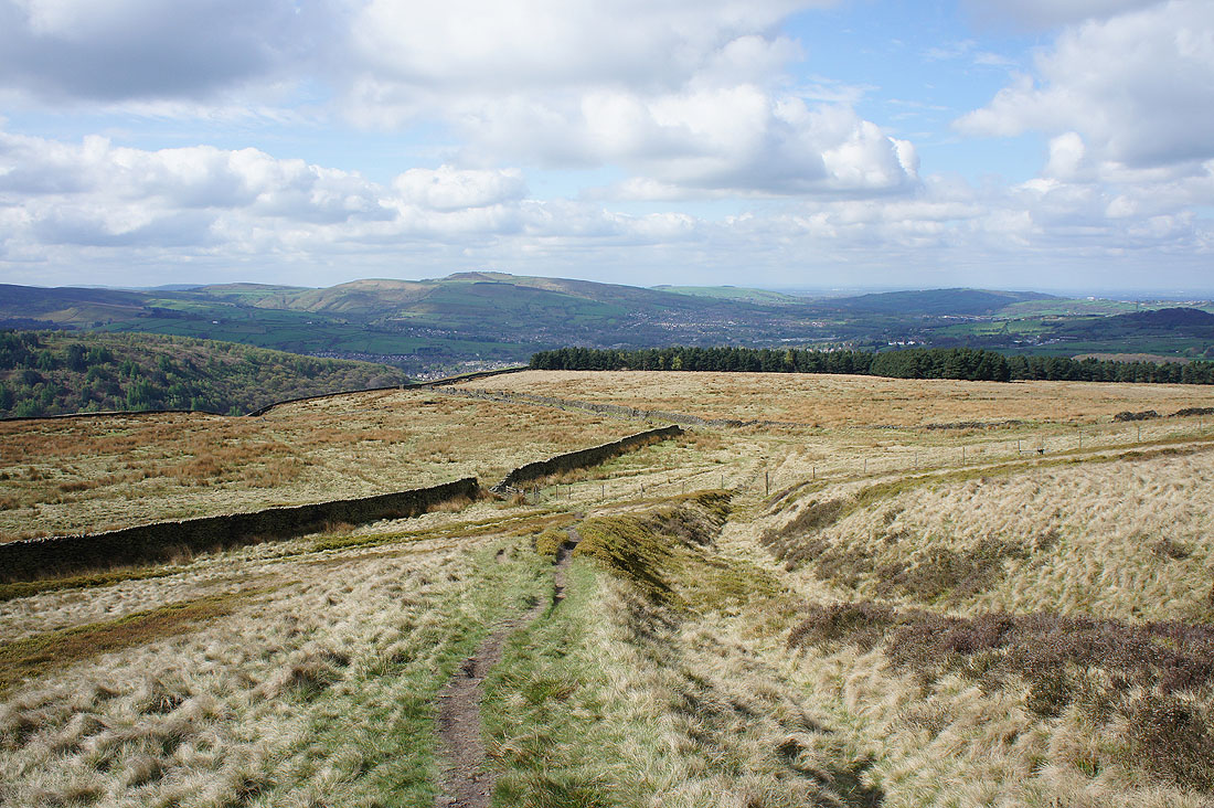
Looking back up to the hillside of James's Thorn
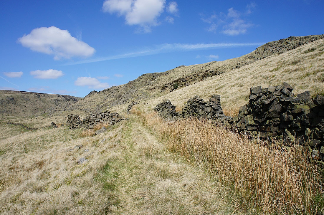
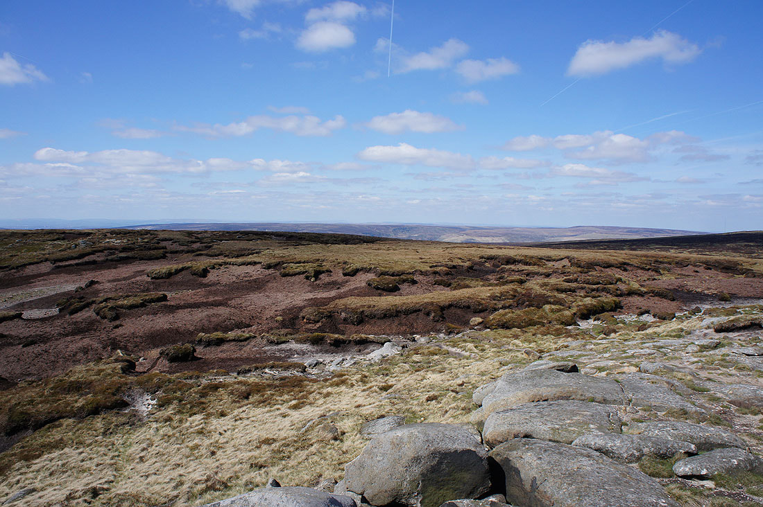
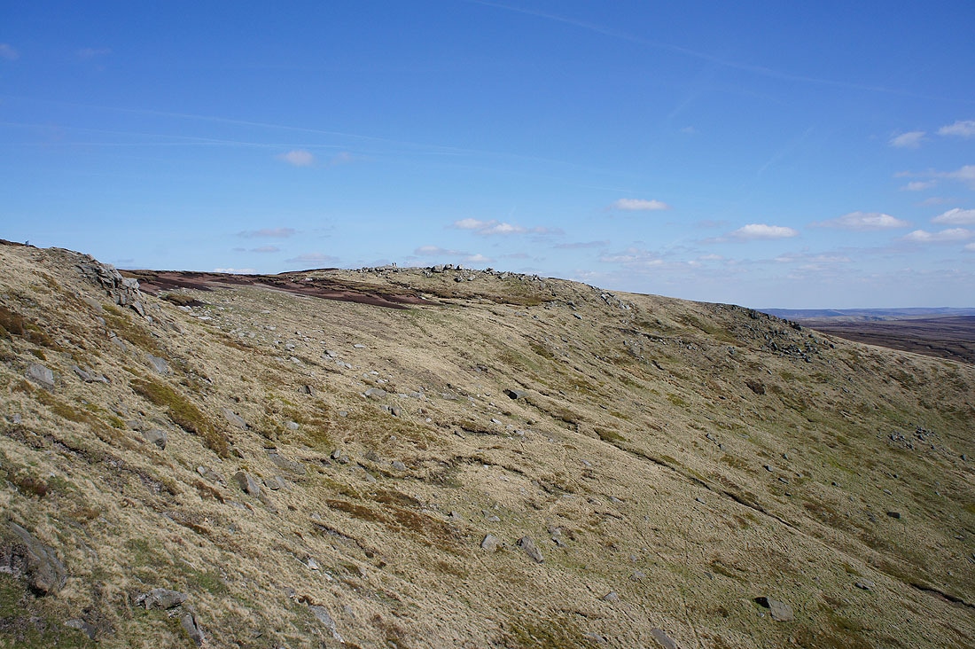
Shelf Benches
Looking back to Shelf Benches..
..as I follow the track down to the Doctor's Gate path
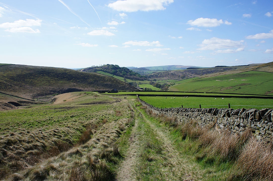
The start of the Doctor's Gate path. A packhorse trail that crossed the moors between Glossop and Sheffield. It gained its name from a Doctor Talbot who used it in the 17th century.
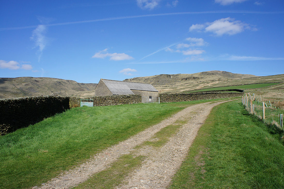
I really liked this view of blue skies and Shelf Benches behind the barn
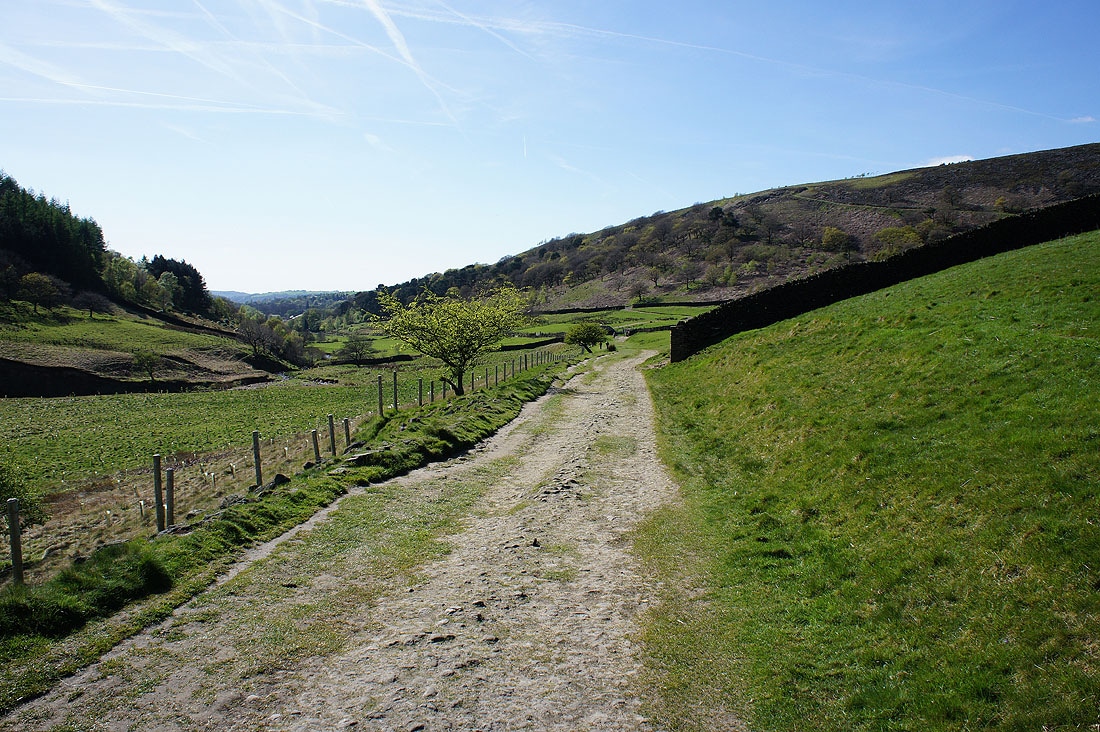
On the home straight of the bridleway back to Shepley Street