23rd December 2012 - Parlick & Fair Snape Fell
Walk Details
Distance walked: 3.9 miles
Total ascent: 1204 ft
OS map used: OL41 - Forest of Bowland & Ribblesdale
Time taken: 2 hrs
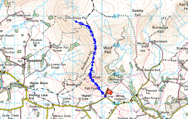
Route description: Fell Foot-Parlick-Fair Snape Fell-Parlick-Fell Foot
With the forecast for the next few days looking really poor I decided that I had to take advantage of the dry weather this afternoon to stretch my legs.
A very simple there and back walk straight up the front of Parlick and on to Fair Snape Fell with the return by the same route.
Route map
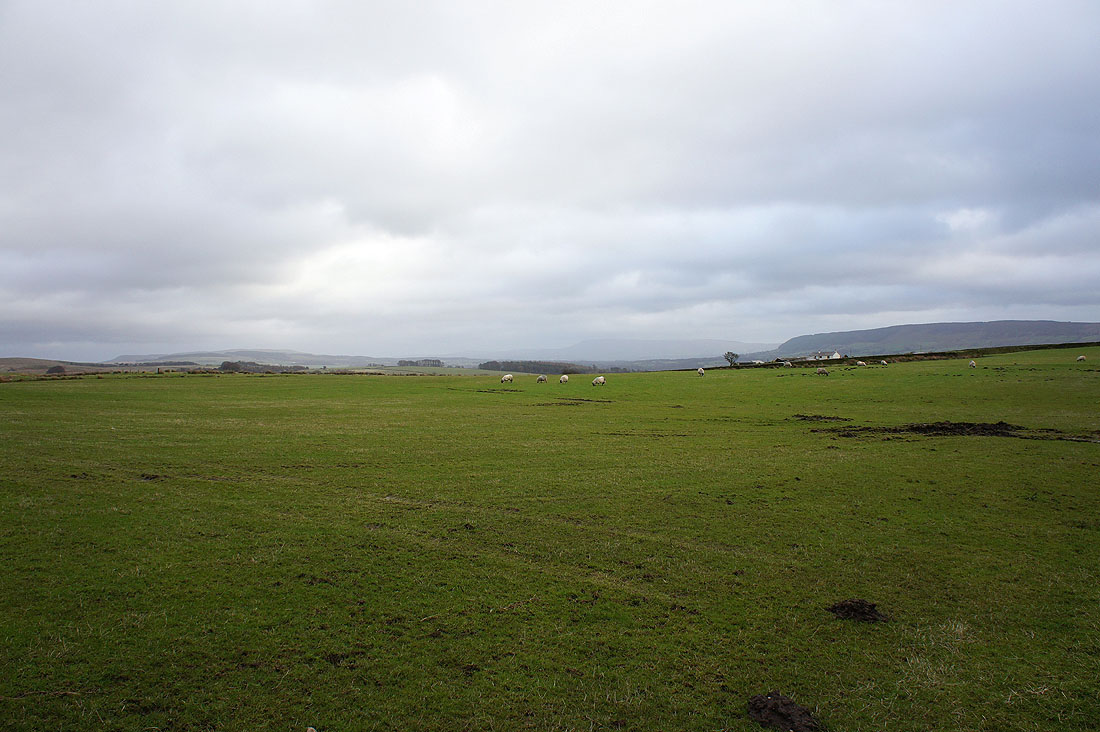
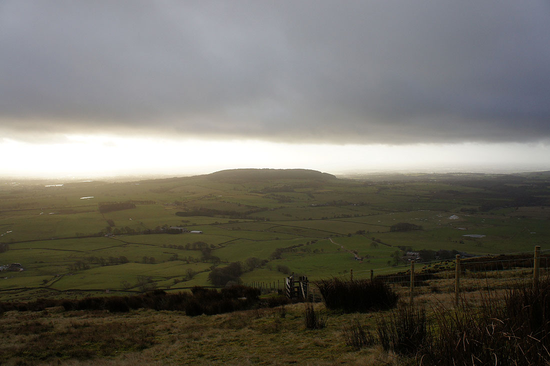
At the start of the walk looking across the Bowland countryside
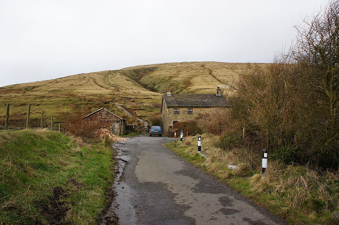
Through the gate ahead at Fell Foot and then it's straight up the front of Parlick
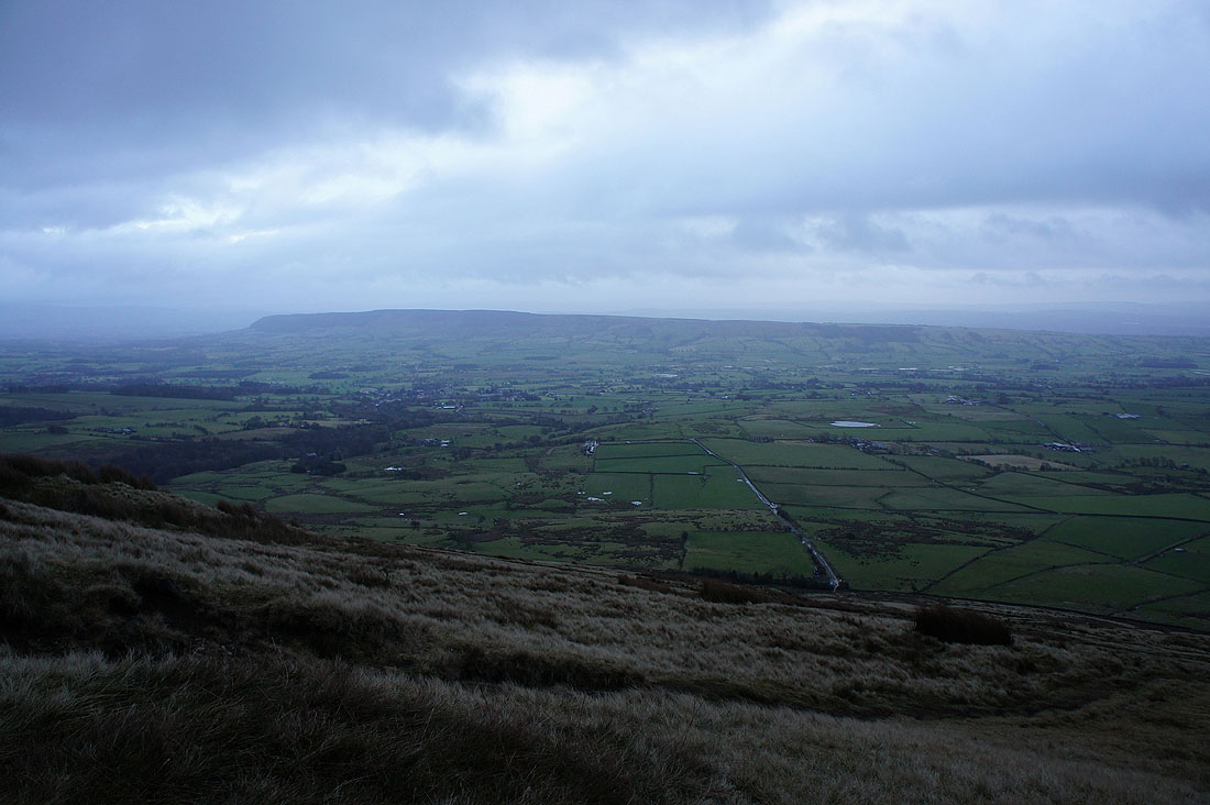
The view across the Loud valley to Longridge Fell with Pendle Hill just visible in the distance on the left
Beacon Fell
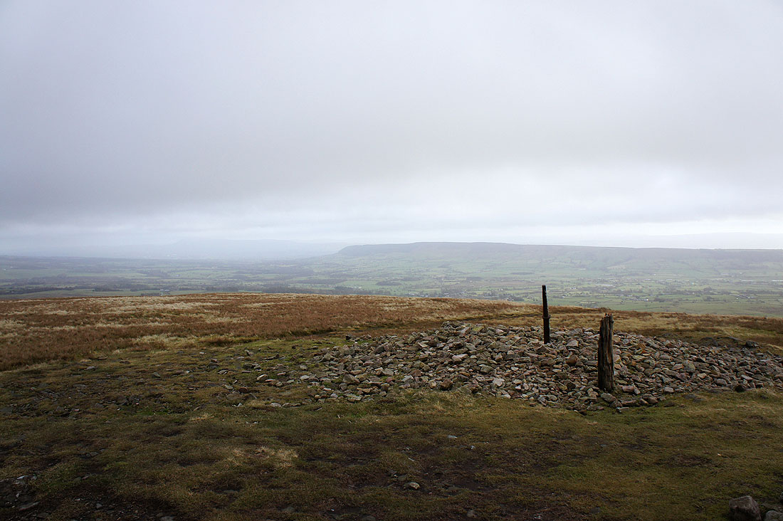
Pendle Hill and Longridge Fell from the summit of Parlick
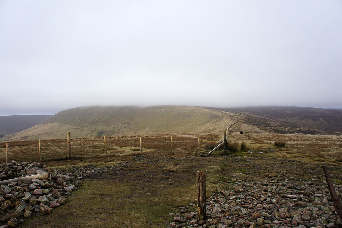
Fair Snape Fell ahead with its top in cloud. That's the way it stayed unfortunately.
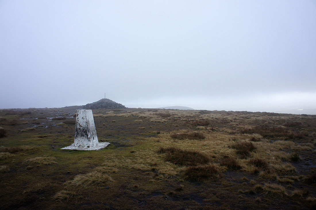
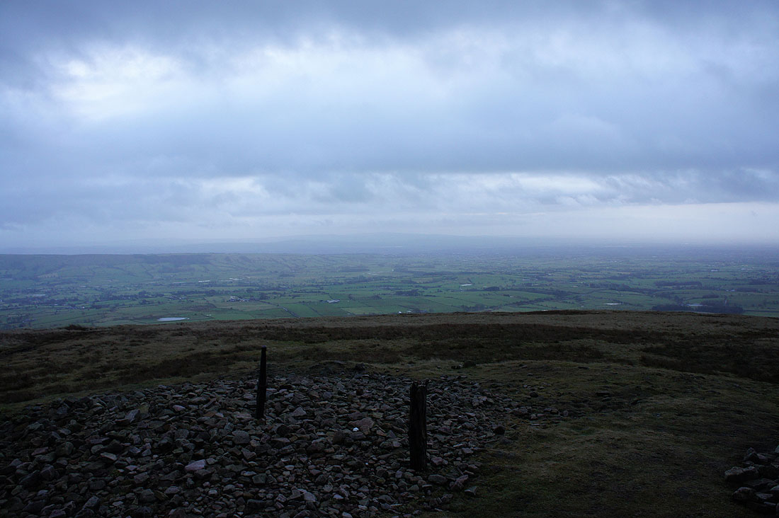
Fair Snape Fell. It's very windy. If it wasn't for the shelter that's up here I would have headed straight back down.
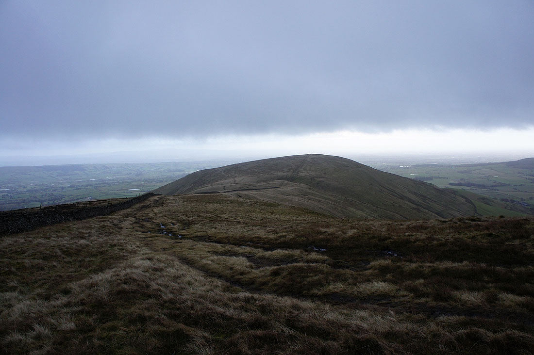
Heading back to Parlick
On Parlick again and I can just make out the West Pennine Moors in the distance
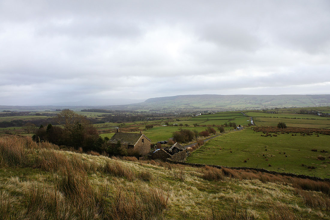
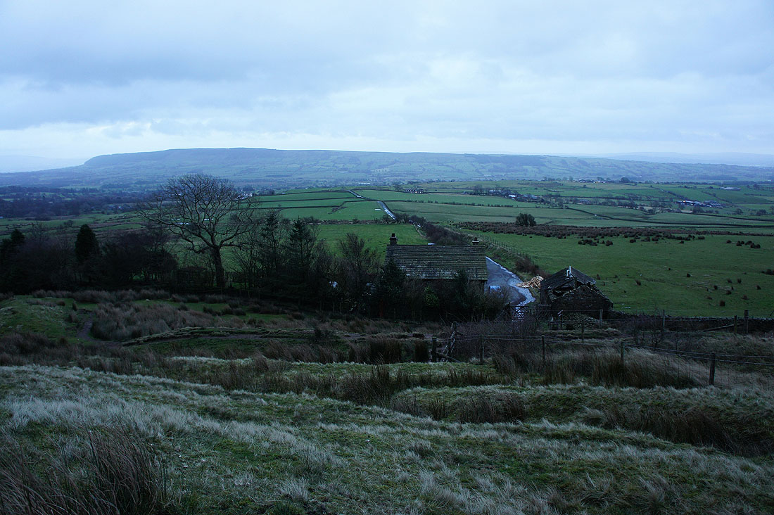
Down to Fell Foot..
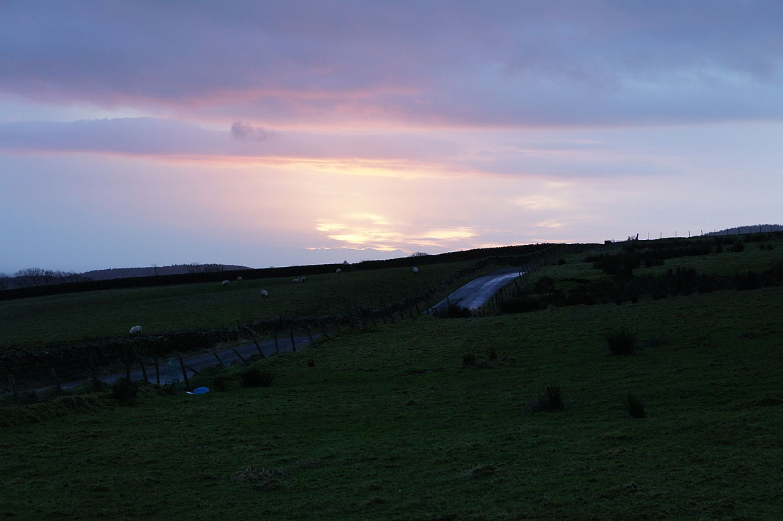
Back at the car and the sun makes one last attempt at putting in an appearance
