23rd February 2020 - The Dales Way and Downs Pasture
Walk Details
Distance walked: 11.5 miles
Total ascent: 1439 ft
OS map used: OL2 - Yorkshire Dales, Southern & Western areas
Time taken: 6 hrs
Route description: Linton Falls car park-Linton Falls-Sedber Lane-Grassington-Dales Way-Conistone Pie-Dales Way-Bycliffe Road-Kelber-Downs Pasture-Yarnbury-Hebden Beck-Tinkers' Lane-Edge Lane-High Lane-Grassington-Sedber Lane-Linton Falls-Linton Falls car park
My walk this weekend was on the familiar territory of the moors to the north and east of Grassington. I've done many walks across them over the years in all seasons and in all sorts of weather and it's great countryside for being out in. The route that I did today was one that I've done several times before, heading north from Grassington on the Dales Way before returning south across the moorland to the east. After some of the terrible weather of recent weeks, last weekend was a write-off because of Storm Dennis, today wasn't too bad. Cold and windy, with sunny spells and just a couple of wintry showers, though the one that passed through while I was passing the top of Conistone Dib had me taking shelter behind a wall.
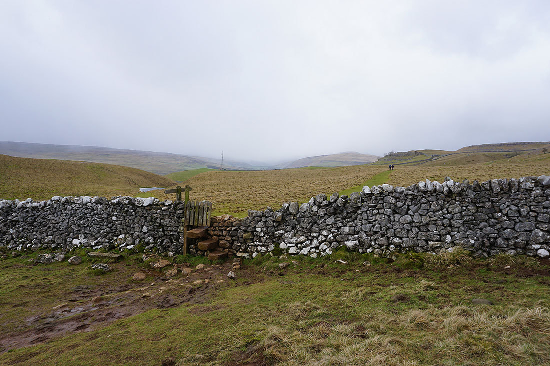
From the Linton Falls car park I made my way down to Linton Falls, crossed the footbridge, then walked up Sedber Lane and into Grassington. I then made my way up Grassington's main street and onto the Dales Way, which I then followed north to the limestone outcrop of Conistone Pie. After a stop here for lunch I returned south on the Dales Way until I reached the bridleway of Bycliffe Road, which I took and followed uphill to Kelber Gate and onto the moorland of Kelber. A cairn by the bridleway marks the spot where a footpath leaves the bridleway and heads south. I took this and followed it south across Downs Pasture to the top of Moor Lane and the hamlet of Yarnbury. After turning right and walking a short distance down the road I turned left and took the bridleway east through the ruins of the Grassington Lead Mines and down to Hebden Beck, where I left the bridleway and took a footpath on the right up to the track of Tinkers' Lane and past High Garnshaw House. Past High Garnshaw House I followed the track round to the right and onto Edge Lane. After walking past the communication masts above Edge Lane I took the first footpath on the left down through fields to the track of High Lane. I then walked down through Grassington, down Sedber Lane, and back across the footbridge over Linton Falls and to the Linton Falls car park.
Total ascent: 1439 ft
OS map used: OL2 - Yorkshire Dales, Southern & Western areas
Time taken: 6 hrs
Route description: Linton Falls car park-Linton Falls-Sedber Lane-Grassington-Dales Way-Conistone Pie-Dales Way-Bycliffe Road-Kelber-Downs Pasture-Yarnbury-Hebden Beck-Tinkers' Lane-Edge Lane-High Lane-Grassington-Sedber Lane-Linton Falls-Linton Falls car park
My walk this weekend was on the familiar territory of the moors to the north and east of Grassington. I've done many walks across them over the years in all seasons and in all sorts of weather and it's great countryside for being out in. The route that I did today was one that I've done several times before, heading north from Grassington on the Dales Way before returning south across the moorland to the east. After some of the terrible weather of recent weeks, last weekend was a write-off because of Storm Dennis, today wasn't too bad. Cold and windy, with sunny spells and just a couple of wintry showers, though the one that passed through while I was passing the top of Conistone Dib had me taking shelter behind a wall.
From the Linton Falls car park I made my way down to Linton Falls, crossed the footbridge, then walked up Sedber Lane and into Grassington. I then made my way up Grassington's main street and onto the Dales Way, which I then followed north to the limestone outcrop of Conistone Pie. After a stop here for lunch I returned south on the Dales Way until I reached the bridleway of Bycliffe Road, which I took and followed uphill to Kelber Gate and onto the moorland of Kelber. A cairn by the bridleway marks the spot where a footpath leaves the bridleway and heads south. I took this and followed it south across Downs Pasture to the top of Moor Lane and the hamlet of Yarnbury. After turning right and walking a short distance down the road I turned left and took the bridleway east through the ruins of the Grassington Lead Mines and down to Hebden Beck, where I left the bridleway and took a footpath on the right up to the track of Tinkers' Lane and past High Garnshaw House. Past High Garnshaw House I followed the track round to the right and onto Edge Lane. After walking past the communication masts above Edge Lane I took the first footpath on the left down through fields to the track of High Lane. I then walked down through Grassington, down Sedber Lane, and back across the footbridge over Linton Falls and to the Linton Falls car park.
Route map
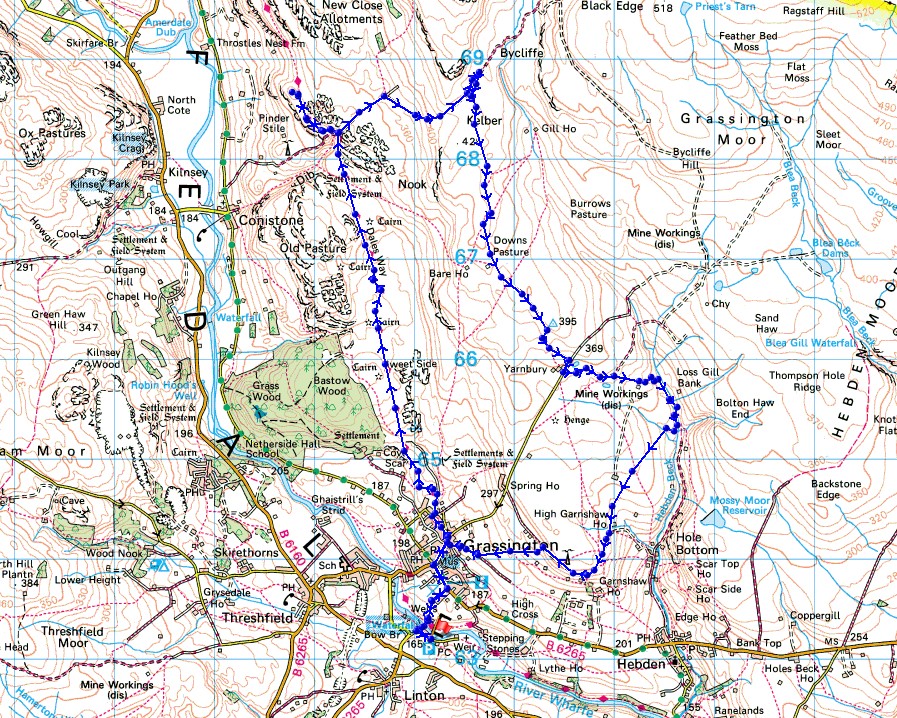
© Crown copyright. All rights reserved. License number PU 100034184.
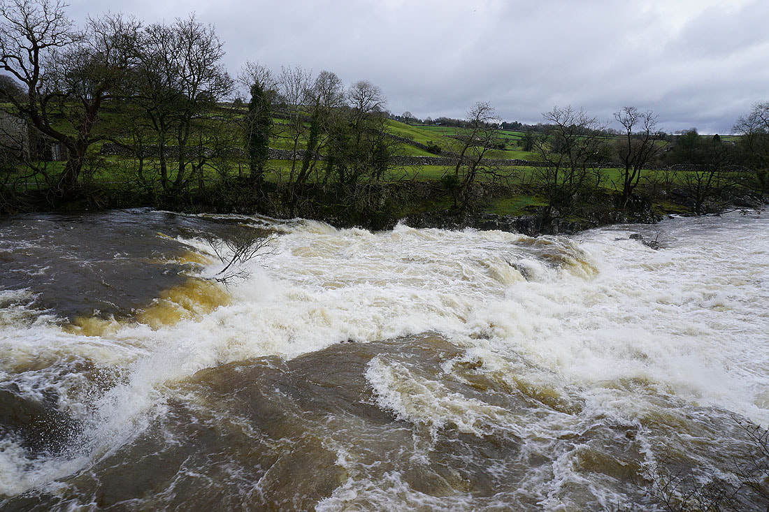
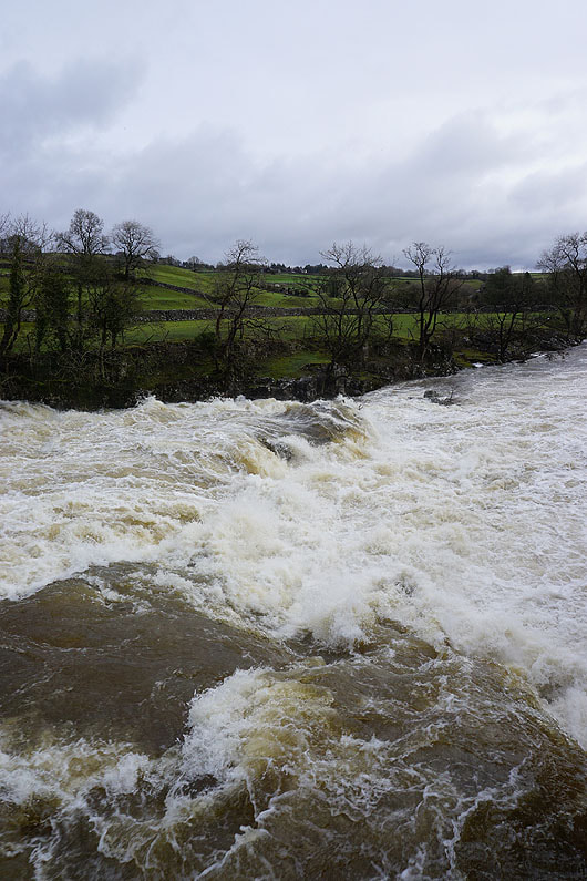
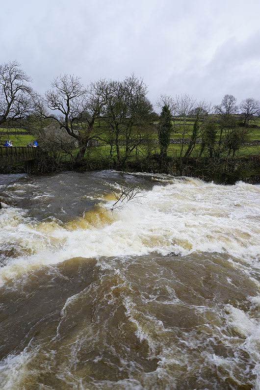
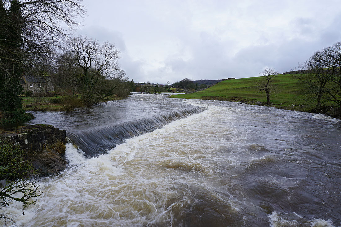
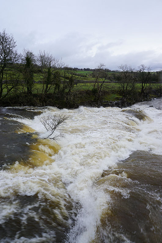
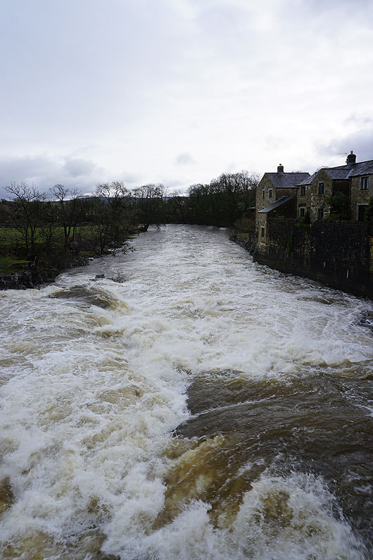
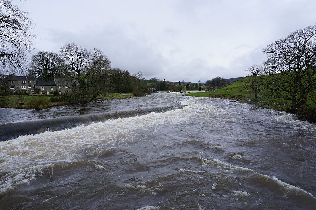
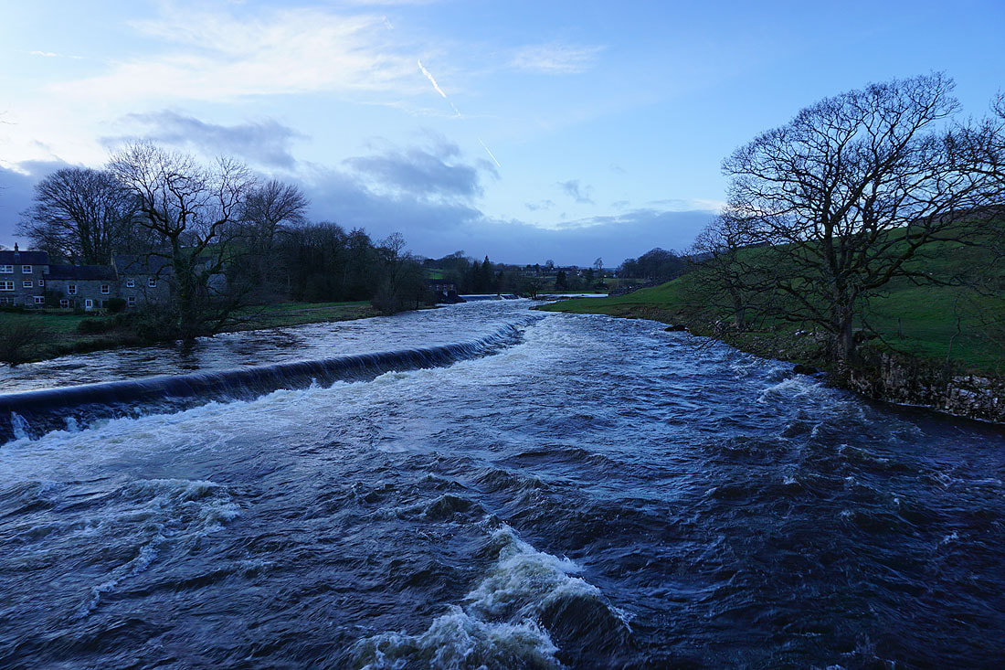
Crossing Linton Falls to Grassington. Storms Ciara and Dennis from the previous two weekends have meant a very full River Wharfe, and severe flooding in some places.
|
|
|
|
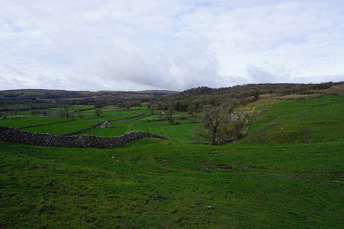
Looking across to Grass Wood as I leave Grassington on the Dales Way
Looking back towards Grassington with Cracoe Fell in the distance
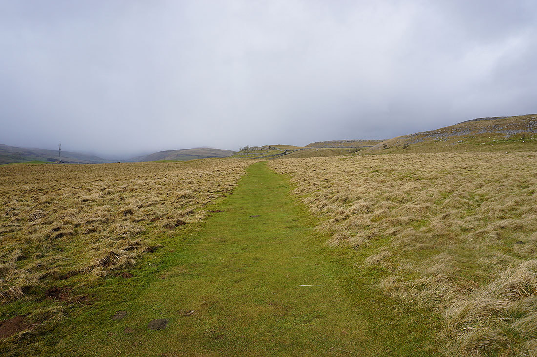
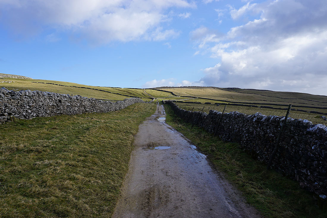
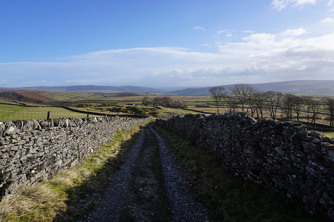
Great scenery as I follow the Dales Way north across limestone moorland....
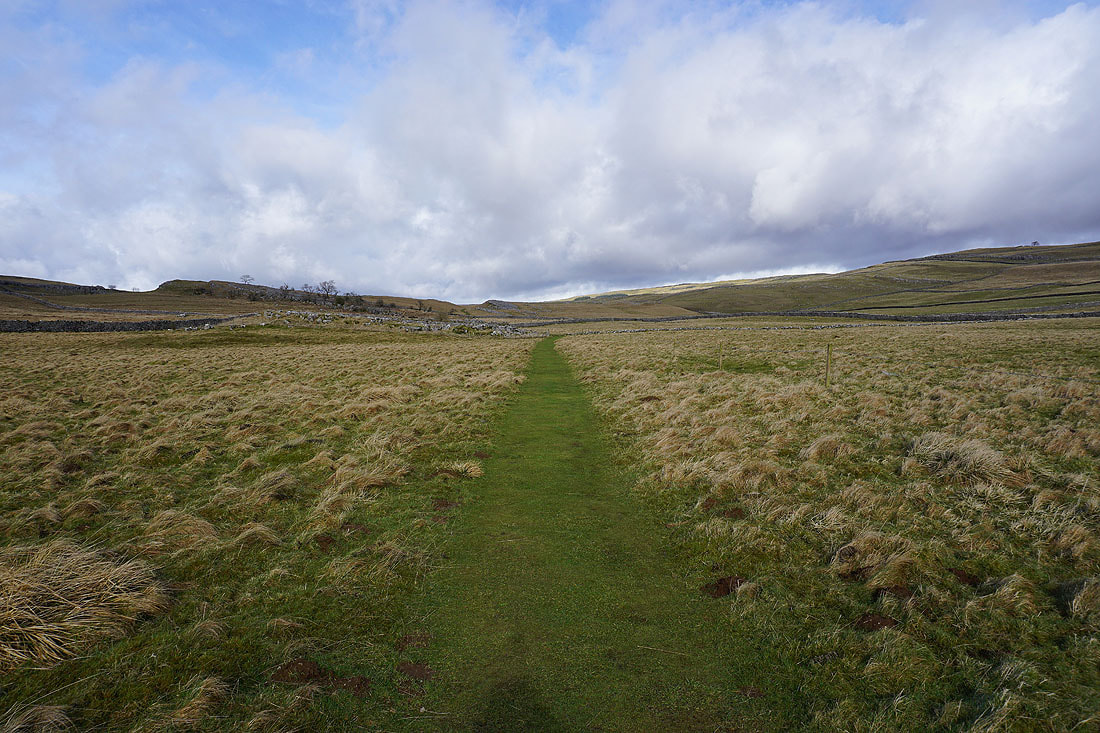
Looking back to Cracoe Fell in the distance
As I near the top of Conistone Dib it's becoming obvious that the weather is taking a turn for the worse. A heavy shower is on its way, and it looks like there's going to be snow in the mix..
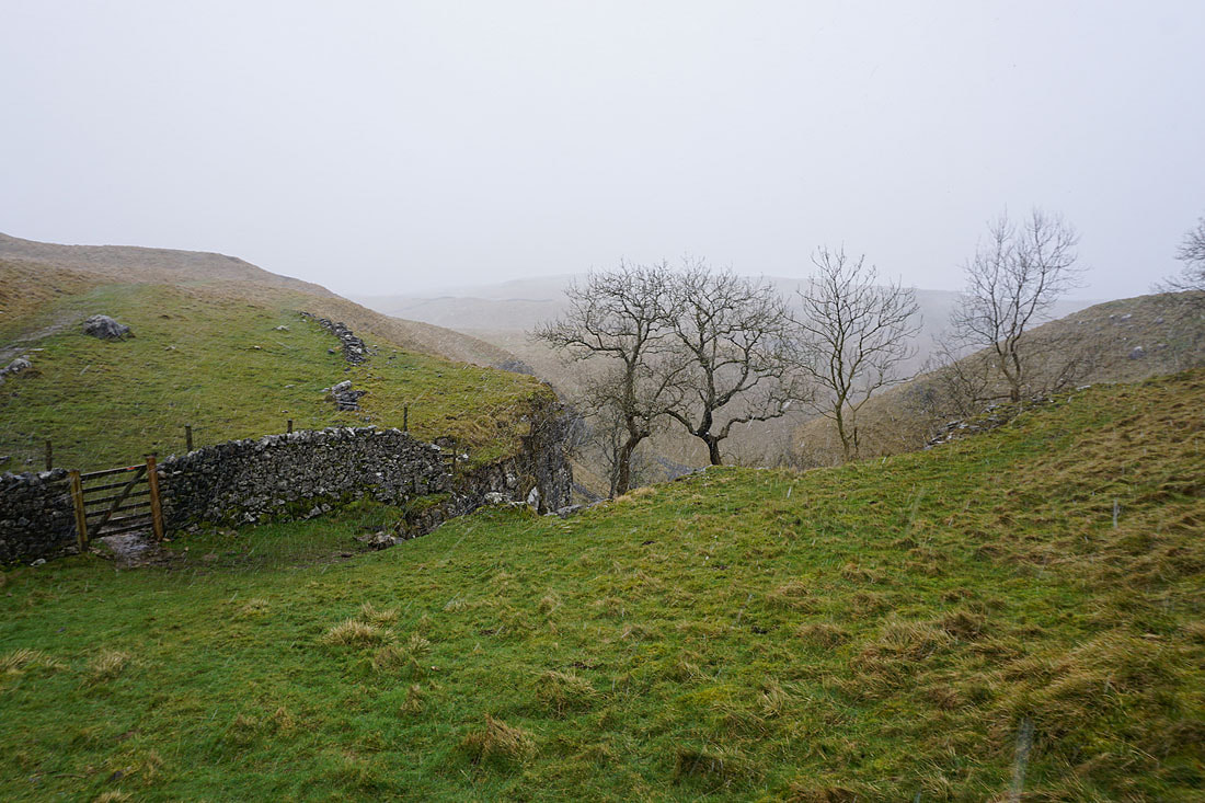
The shower passes through, and it did have some snow in it. I've decided to take shelter behind a wall and have my lunch until it clears.
and it soon does. The skies over Wharfedale brighten dramatically as I cross the top of Scot Gate Lane and continue north along the Dales Way to Conistone Pie....
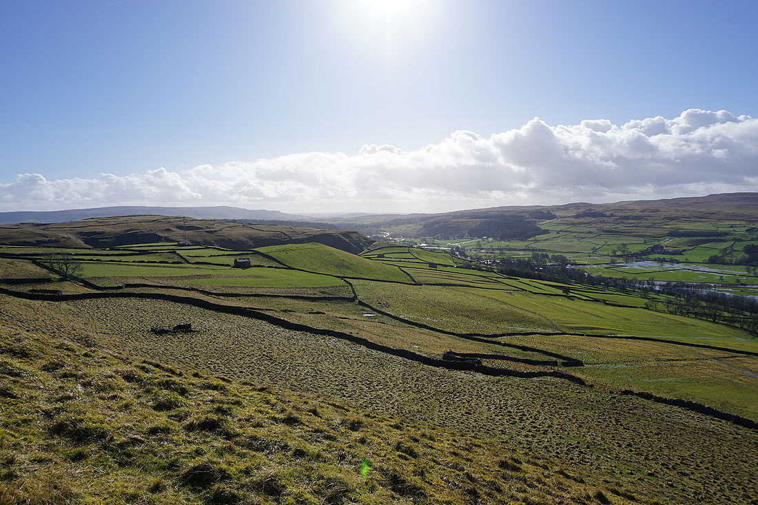
The distinctive limestone outcrop of Conistone Pie soon appears ahead
Conistone Pie is a good viewpoint for this part of Wharfedale. Looking across the valley to Kilnsey and Kilnsey Crag.
Looking down dale past Conistone Dib to Cracoe Fell and Kilnsey Moor
Upper Wharfedale
Littondale, Middlesmoor Pasture, and upper Wharfedale from the top of Conistone Pie
Leaving Conistone Pie to head back south on the Dales Way
Could there be another shower on the way?
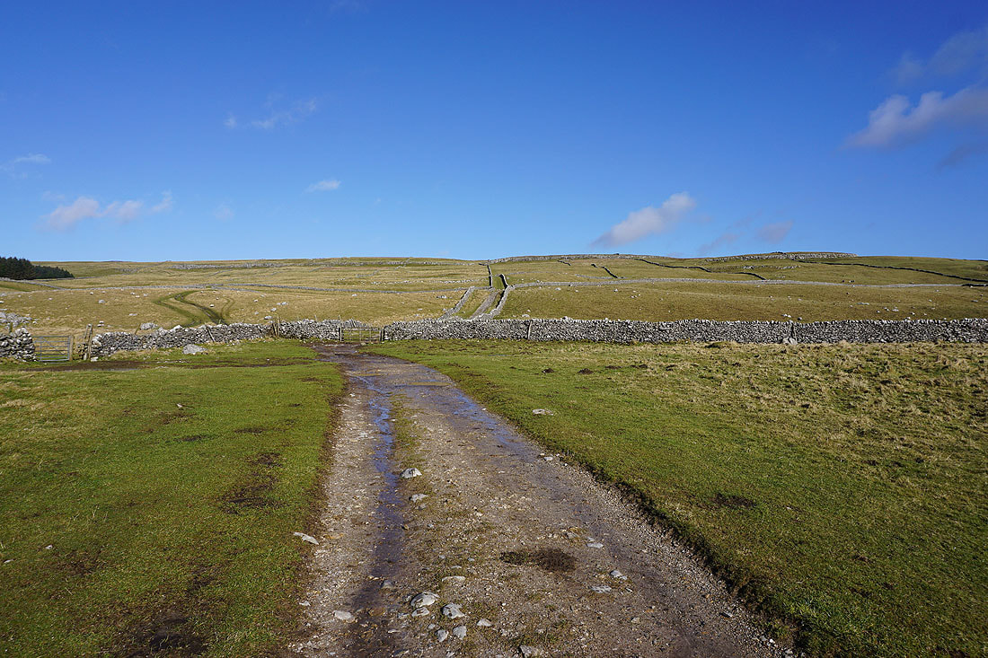
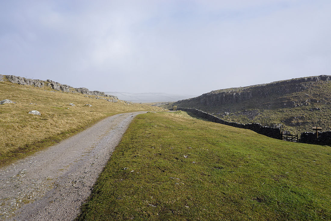
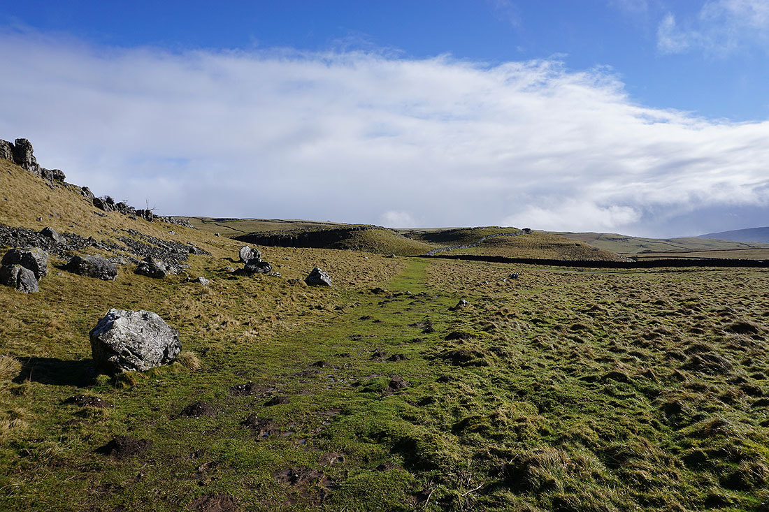
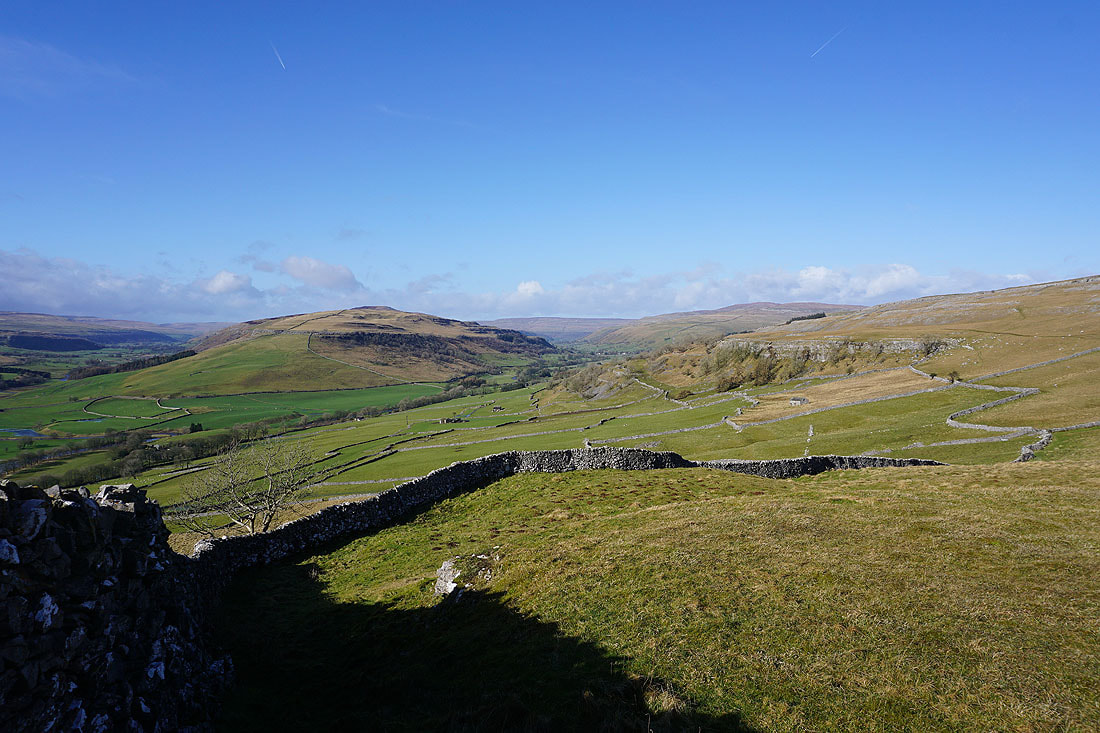
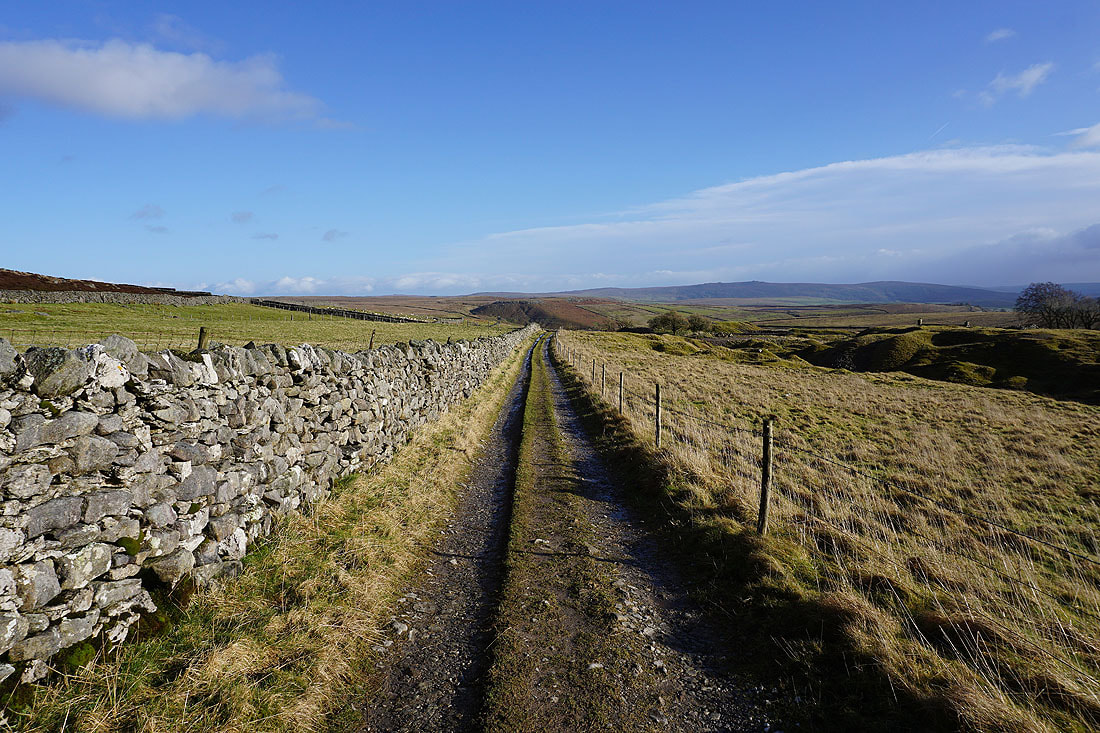
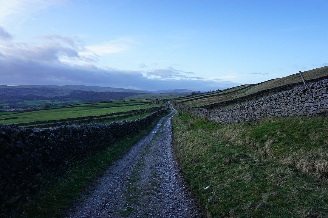
Making my way up the bridleway of Bycliffe Road
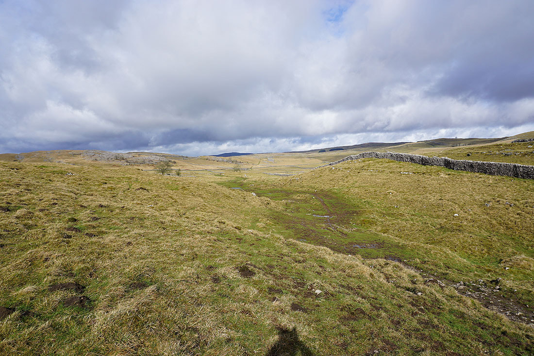
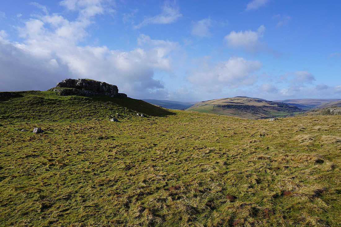
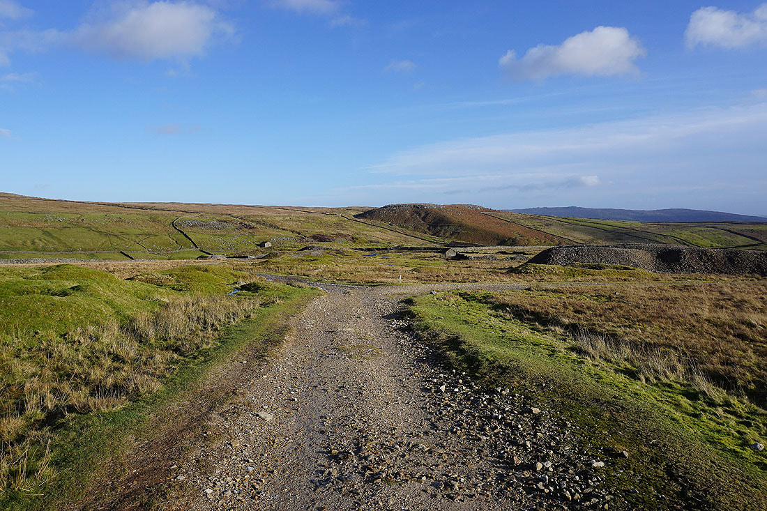
The moorland of New Close Allotments
Looking back down Bycliffe Road..
.as I follow it up to Kelber Gate
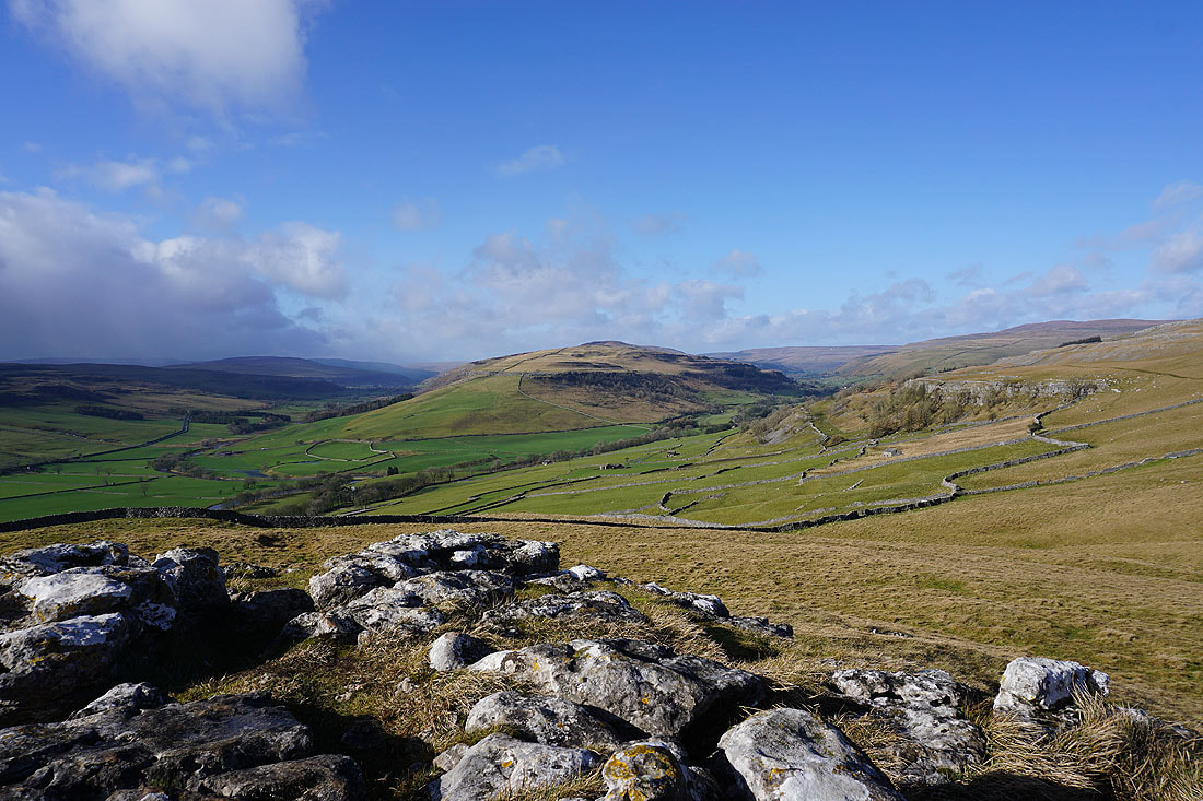
There are great views of the moorland around Littondale and Wharfedale as I head uphill...
Heading northeast along the bridleway across the moorland of Kelber with Black Edge in the distance
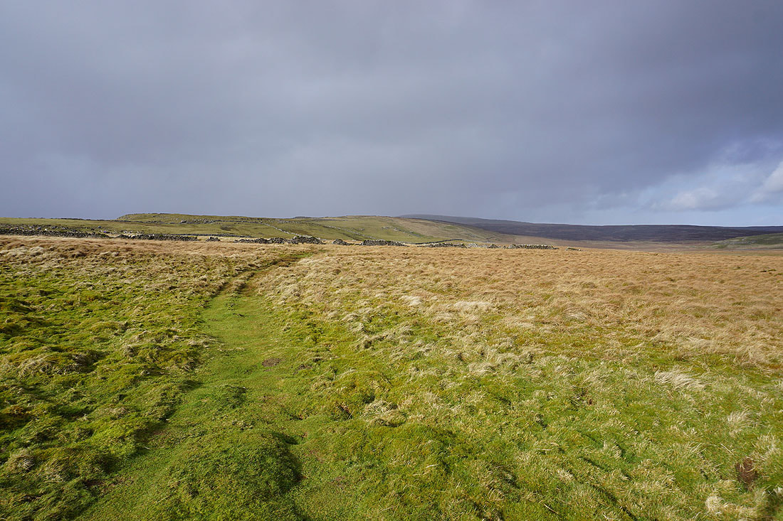
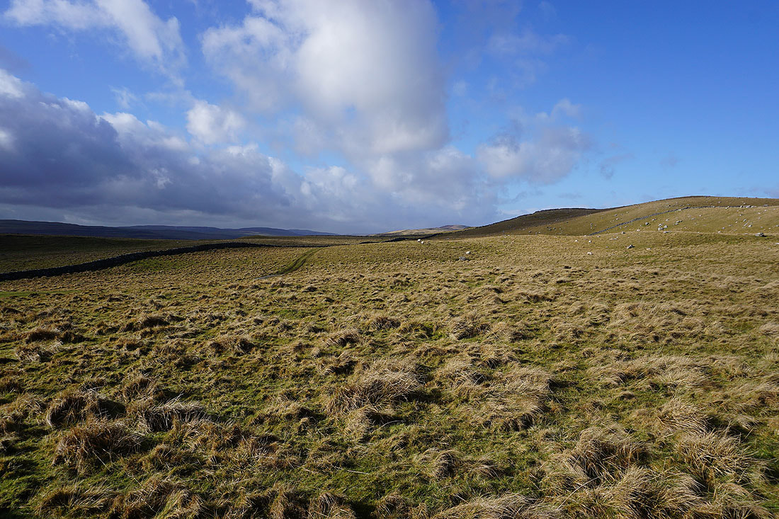
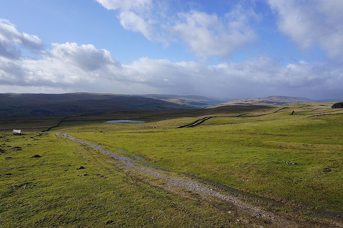
As I leave the bridleway for the footpath south across Downs Pasture there are dark clouds gathering behind me
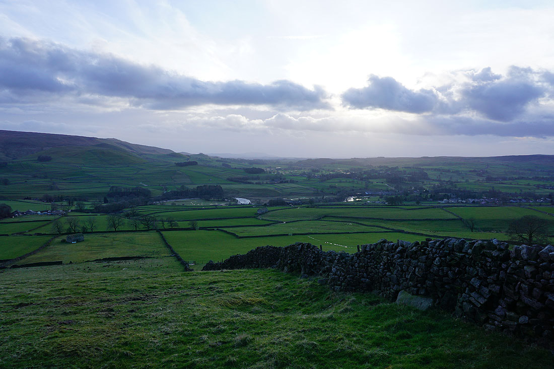
Sunshine over Wharfedale
Here comes the shower
It doesn't last long though, and in the space of five minutes the sun is back out
The cloud clearing from the top of Cracoe Fell is quite dramatic
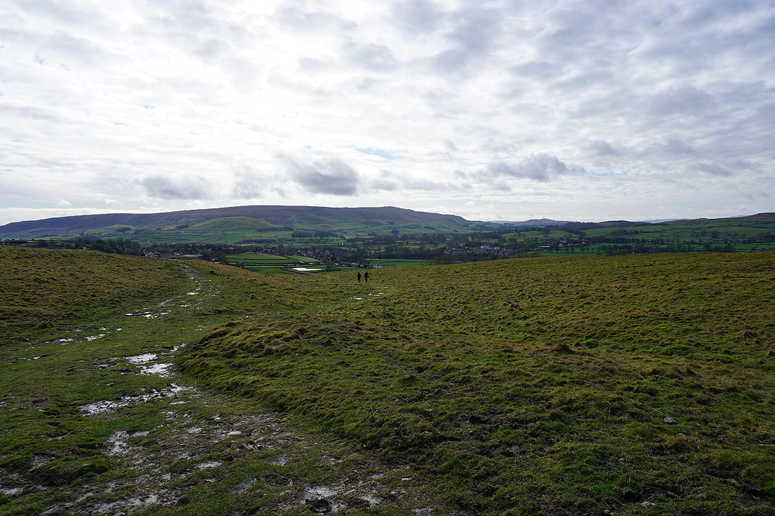
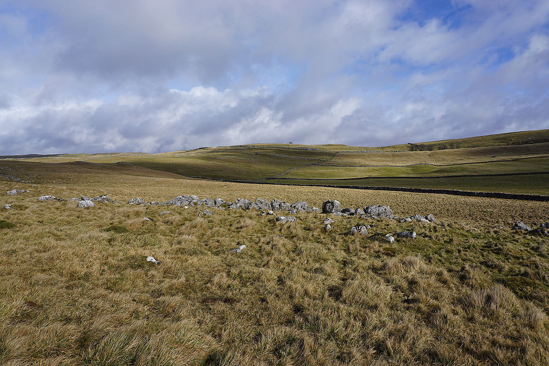
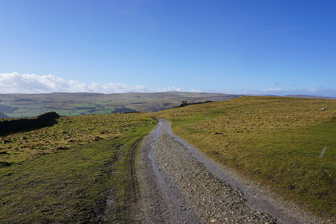
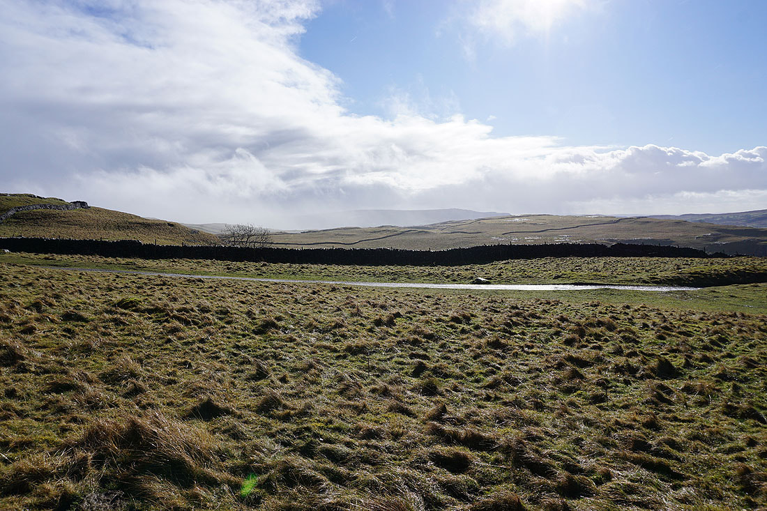
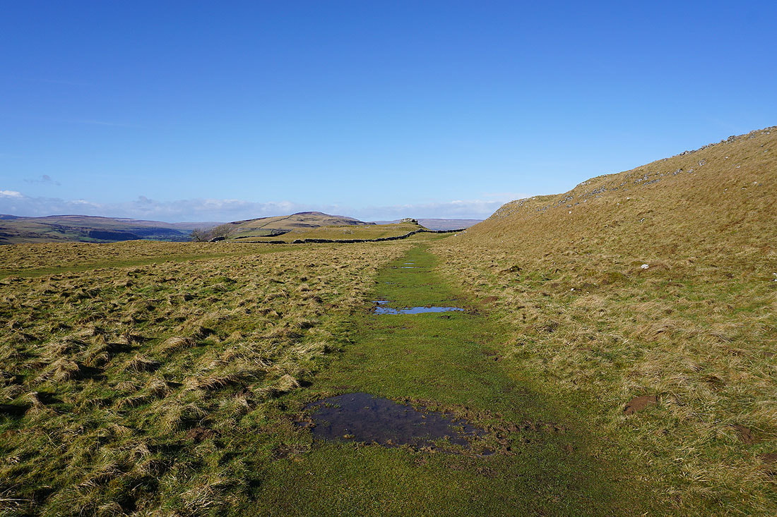
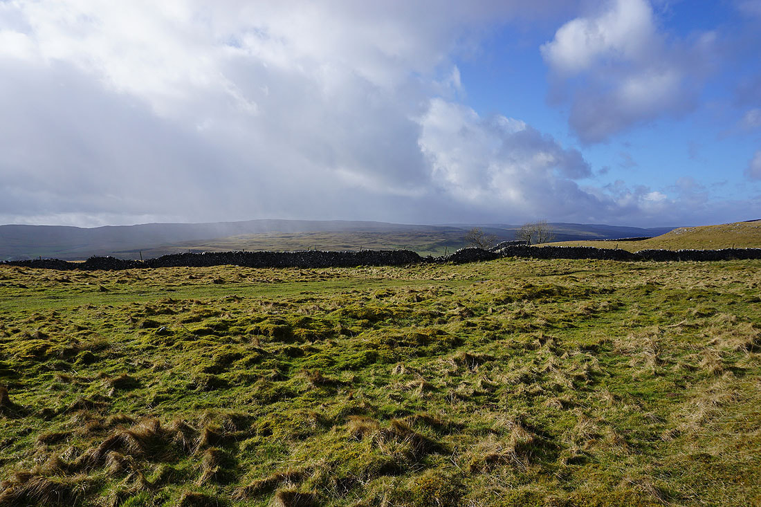
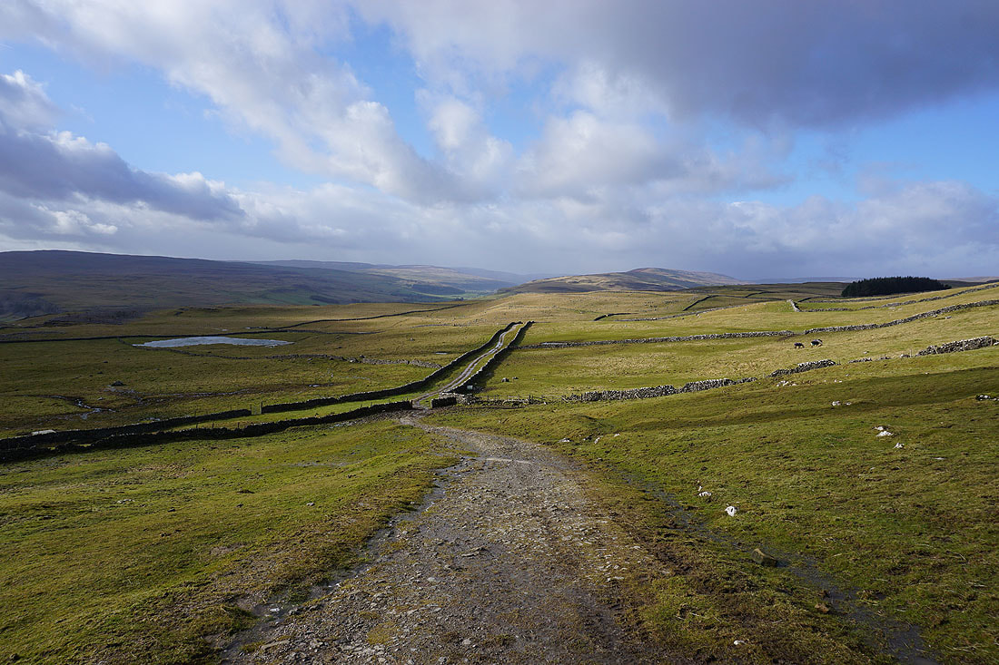
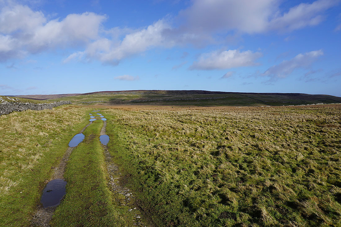
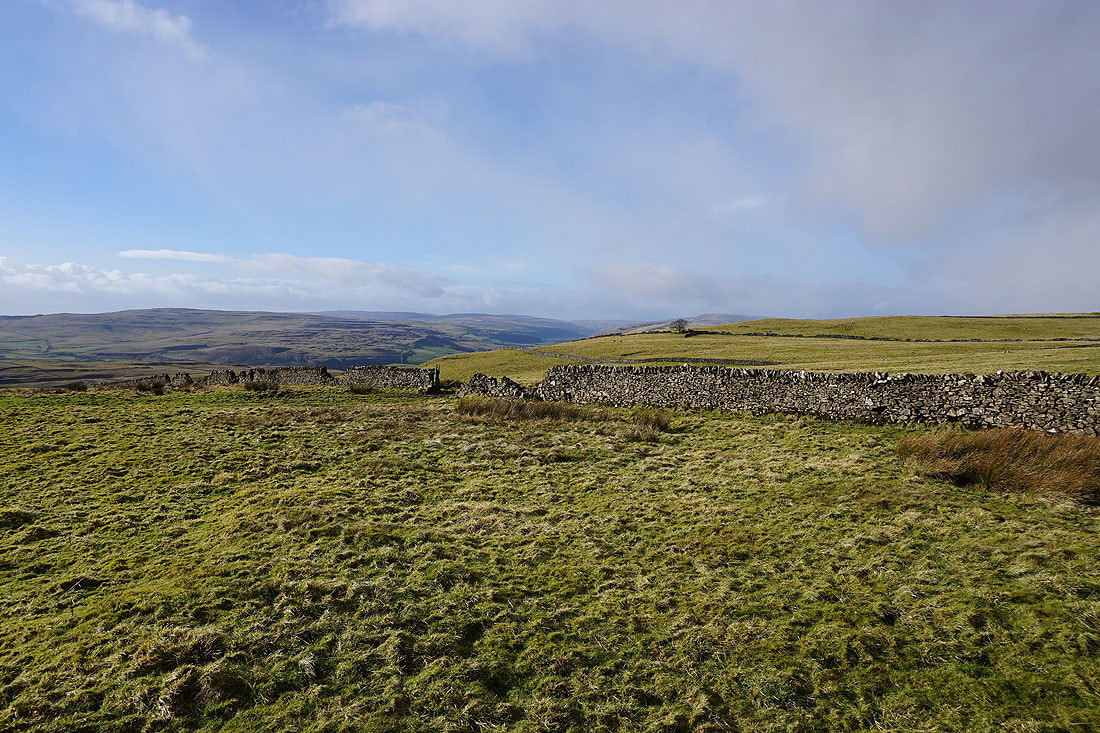
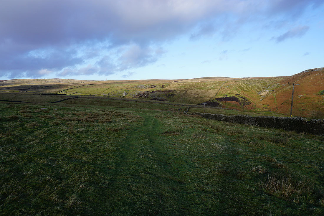
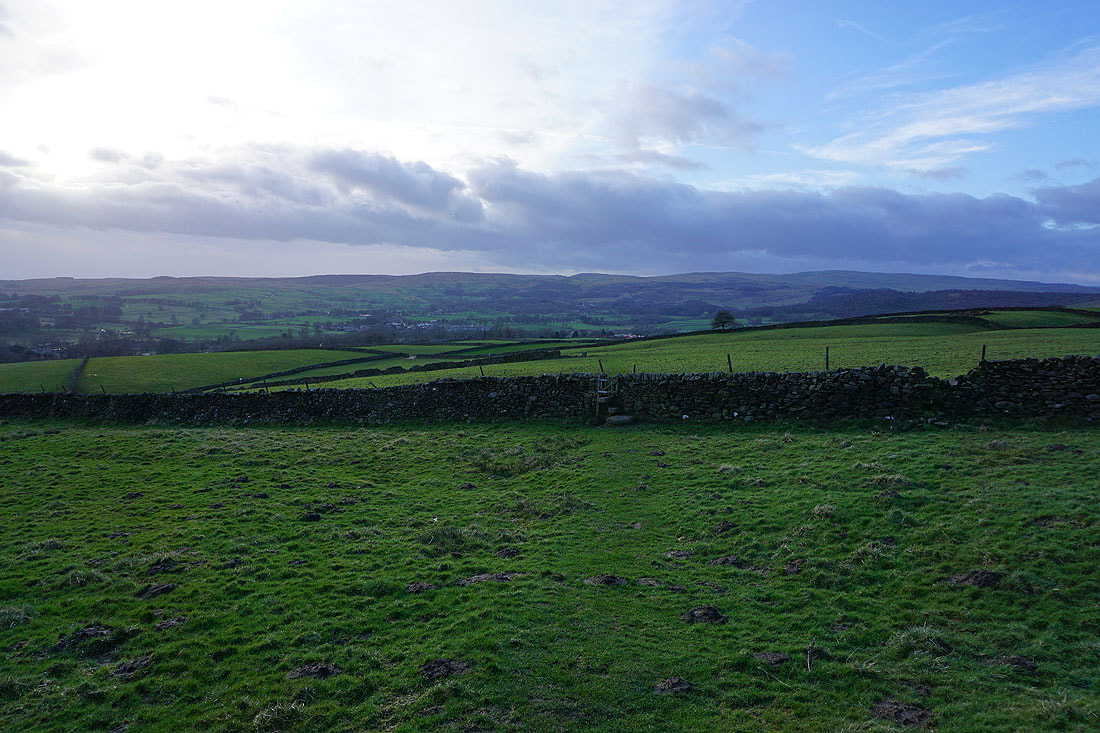
Heading south across Downs Pasture
Looking back across Downs Pasture with Great Whernside in the distance on the right
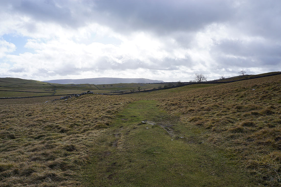
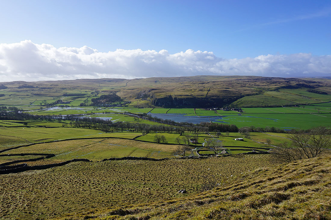
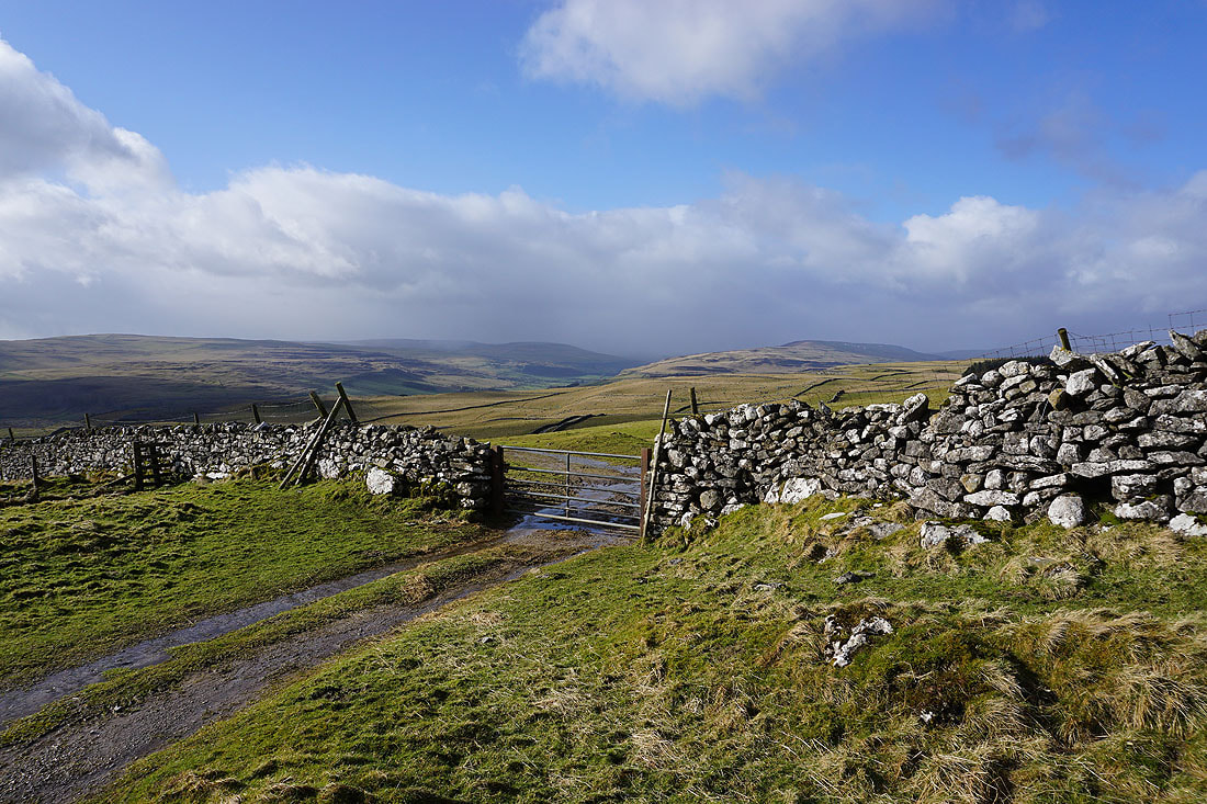
On my way down to the hamlet of Yarnbury, with a view down Wharfedale, to Barden Fell on the left and Barden Moor on the right
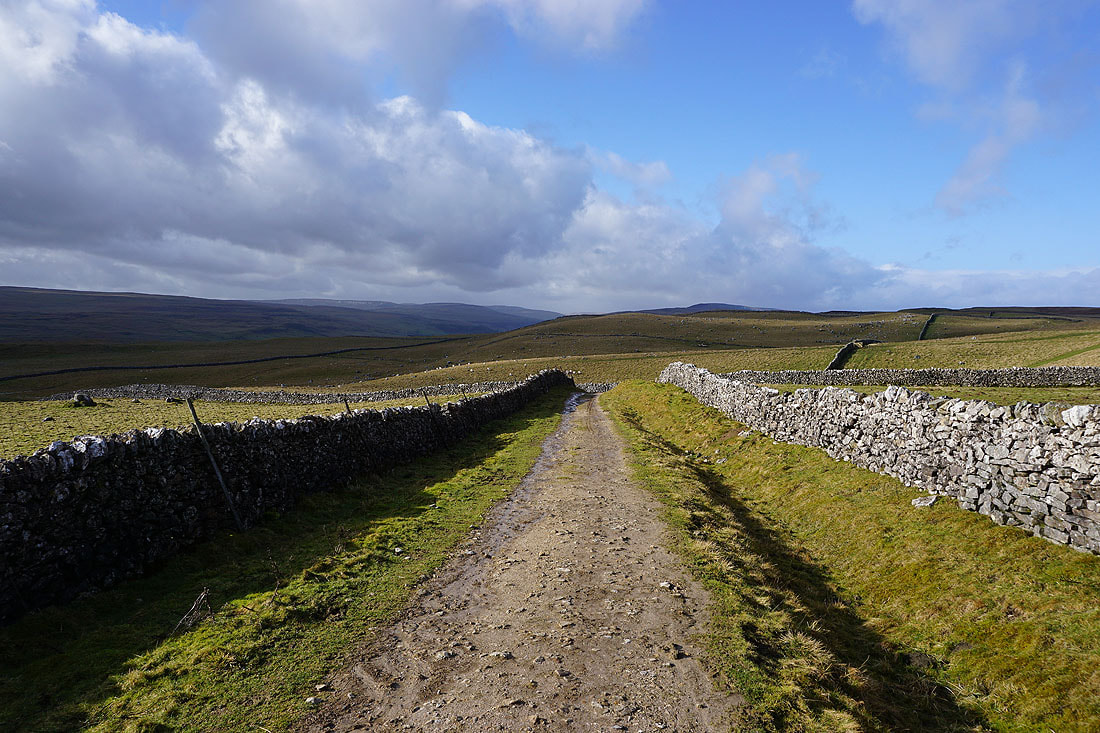
On the bridleway through the disused Grassington Lead Mines...
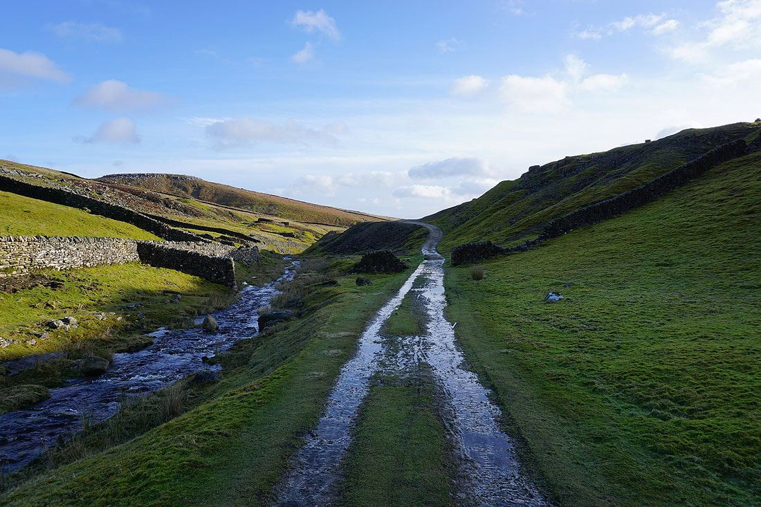
Looking back to the valley of Hebden Beck and the disused lead mines from the footpath to Tinkers' Lane
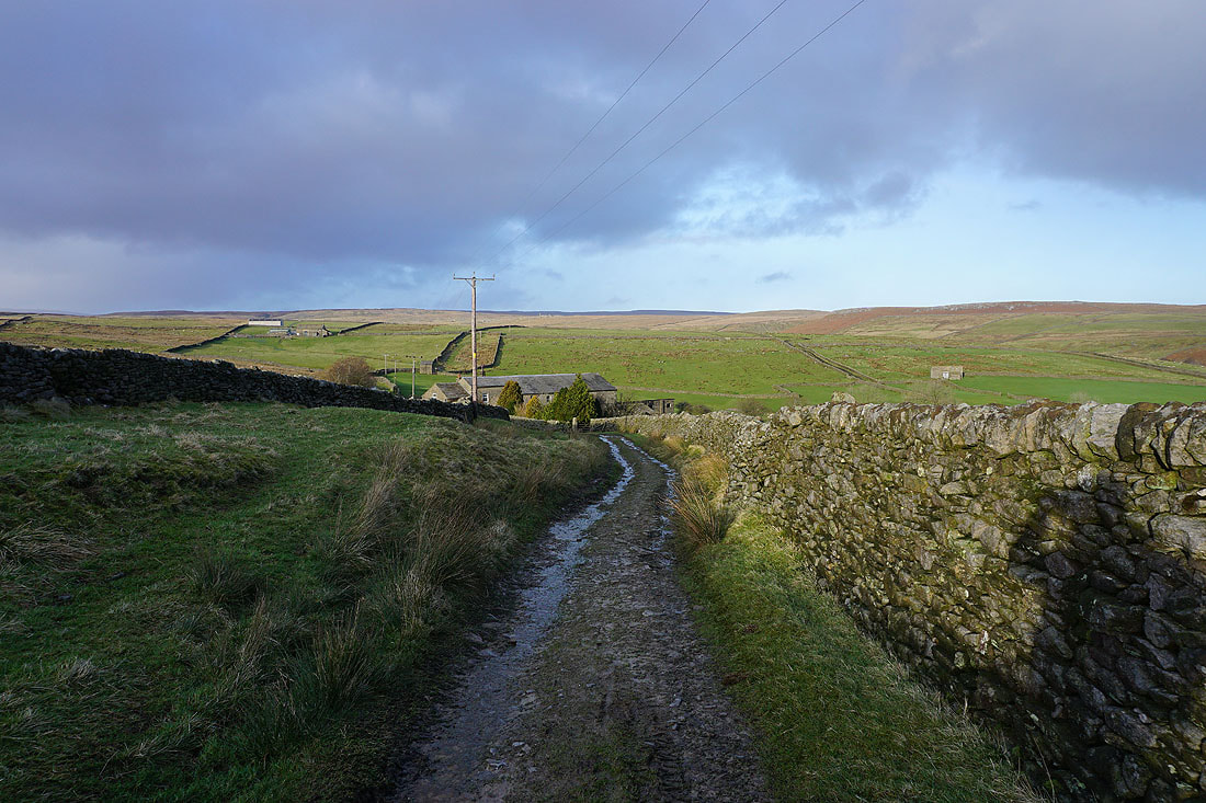
High Garnshaw House from Tinkers' Lane
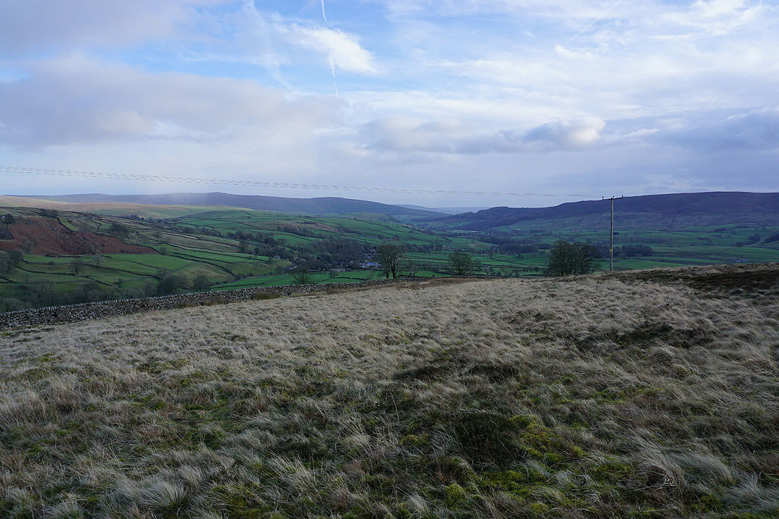
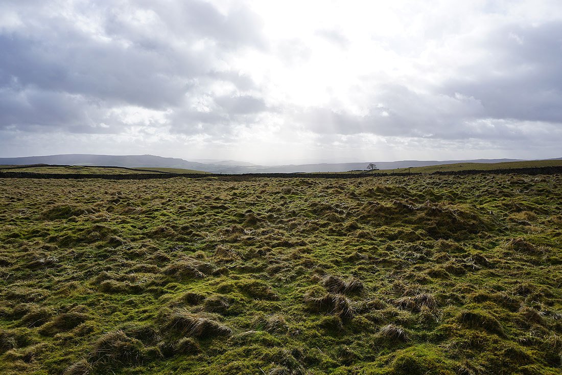
Wharfedale, with the village of Hebden below
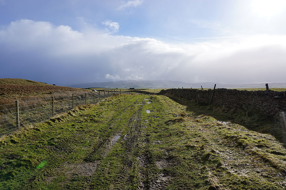
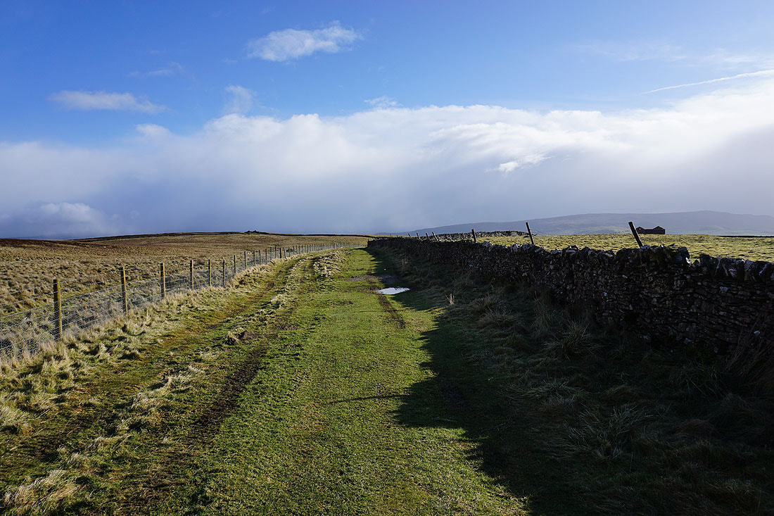
Looking across Wharfedale..
.as I make my way down Edge Lane
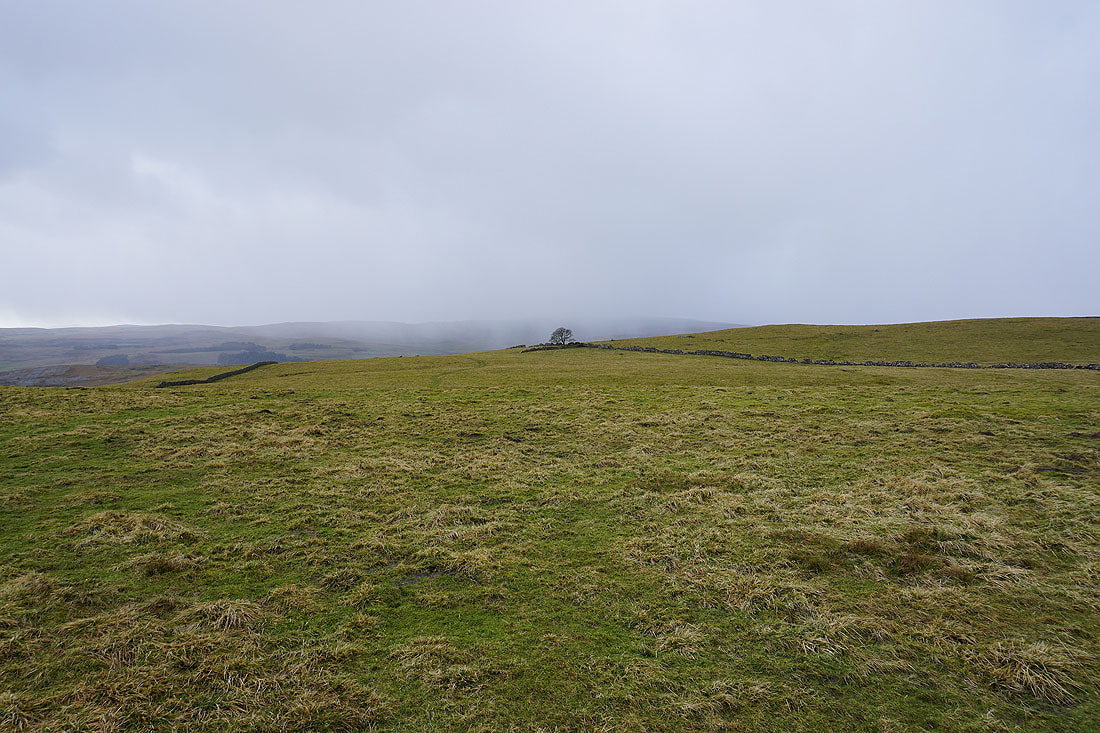
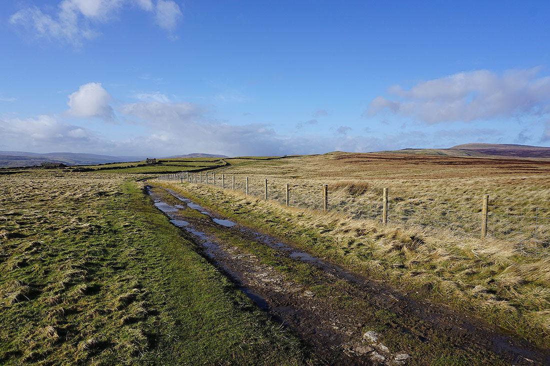
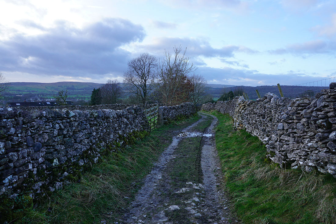
From Edge Lane I took a path down through fields to High Lane..
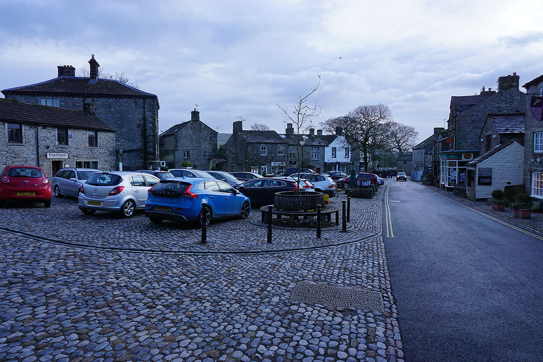
It's a quiet end to a Sunday afternoon in Grassington
Linton Falls as I cross back over the River Wharfe to reach the car park