23rd January 2016 - Win Hill
Walk Details
Distance walked: 9.4 miles
Total ascent: 1453 ft
OS map used: OL1 - The Peak District, Dark Peak area
Time taken: 5.5 hrs
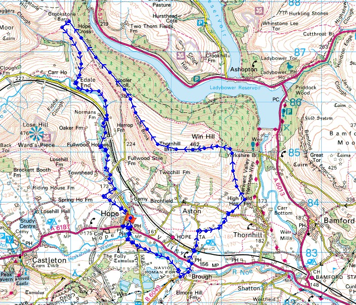
Route description: Hope-Pindale Road-Navio Roman Fort-Brough-Stretfield Road-Parsons Lane-Hallum Barn-Thornhill Lane-Thornhill Carrs-Win Hill-Hope Brink-Hope Cross-Jaggers Clough-Upper Fulwood Farm-Bagshaw Bridge-Edale Road-Townhead Bridge-Hope
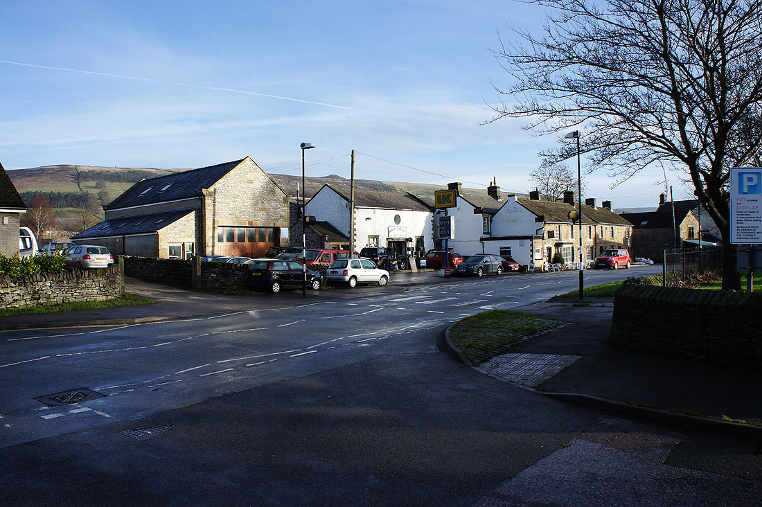
I don't tend to plan my walks well in advance, but I do like to keep some variety by varying my destinations from walk to walk. However, if the best of the weather is in one area weekend after weekend then I don't have a problem with going back time after time. So, it's the Peak District again today. With the wind in the west or south-west this area is relatively sheltered compared to places further north. I know this only too well with where I live. After a bit of thought I decided to head for Hope and pay Win Hill a visit. Despite all my walks in the area recently I'd been to its top just the once and that was back in 2012. I arrived in Hope to find blue skies and sunshine and it stayed that way as I walked down the valley to Brough and across to the slopes of Win Hill. However, as I approached the summit the weather changed and it became cloudier and windier. The walk back to Hope was done with cloudy skies and a strong wind but it did stay dry and was pretty mild.
From the car park in Hope I left the village by taking Pindale Road. Just after it crosses Peakshole Water I took the lane to the left and then the footpath that heads across fields and through Navio Roman Fort to Brough. I turned left onto Stretfield Road and across the River Noe to the main Hope Road. After crossing the road I took Parsons Lane north until I reached Hallum Barn, then the field path across to Thornhill Lane where a footpath almost directly opposite took me north-east across several fields and then north along the eastern slopes of Win Hill. When I reached Winhill Plantation I turned left and made my way to the summit. After taking lunch in its shelter I carried on by taking the path along the ridge over Hope Brink and all the way to Hope Cross where just uphill on its other side a crossroads of bridleways is reached. I turned left onto the one for Edale but then left again to take the footpath down Jaggers Clough to Upper Fulwood Farm. I then took the farm's access road down to Bagshaw Bridge, where I left it for a footpath that follows the River Noe downstream to the Edale Road. I kept on the road as it made its way towards Hope over Townhead Bridge but I decided to get over the road for the final approach to Hope by taking to the footpath across the fields to its west.
Total ascent: 1453 ft
OS map used: OL1 - The Peak District, Dark Peak area
Time taken: 5.5 hrs
Route description: Hope-Pindale Road-Navio Roman Fort-Brough-Stretfield Road-Parsons Lane-Hallum Barn-Thornhill Lane-Thornhill Carrs-Win Hill-Hope Brink-Hope Cross-Jaggers Clough-Upper Fulwood Farm-Bagshaw Bridge-Edale Road-Townhead Bridge-Hope
I don't tend to plan my walks well in advance, but I do like to keep some variety by varying my destinations from walk to walk. However, if the best of the weather is in one area weekend after weekend then I don't have a problem with going back time after time. So, it's the Peak District again today. With the wind in the west or south-west this area is relatively sheltered compared to places further north. I know this only too well with where I live. After a bit of thought I decided to head for Hope and pay Win Hill a visit. Despite all my walks in the area recently I'd been to its top just the once and that was back in 2012. I arrived in Hope to find blue skies and sunshine and it stayed that way as I walked down the valley to Brough and across to the slopes of Win Hill. However, as I approached the summit the weather changed and it became cloudier and windier. The walk back to Hope was done with cloudy skies and a strong wind but it did stay dry and was pretty mild.
From the car park in Hope I left the village by taking Pindale Road. Just after it crosses Peakshole Water I took the lane to the left and then the footpath that heads across fields and through Navio Roman Fort to Brough. I turned left onto Stretfield Road and across the River Noe to the main Hope Road. After crossing the road I took Parsons Lane north until I reached Hallum Barn, then the field path across to Thornhill Lane where a footpath almost directly opposite took me north-east across several fields and then north along the eastern slopes of Win Hill. When I reached Winhill Plantation I turned left and made my way to the summit. After taking lunch in its shelter I carried on by taking the path along the ridge over Hope Brink and all the way to Hope Cross where just uphill on its other side a crossroads of bridleways is reached. I turned left onto the one for Edale but then left again to take the footpath down Jaggers Clough to Upper Fulwood Farm. I then took the farm's access road down to Bagshaw Bridge, where I left it for a footpath that follows the River Noe downstream to the Edale Road. I kept on the road as it made its way towards Hope over Townhead Bridge but I decided to get over the road for the final approach to Hope by taking to the footpath across the fields to its west.
Route map
© Crown copyright. All rights reserved. License number PU 100034184.
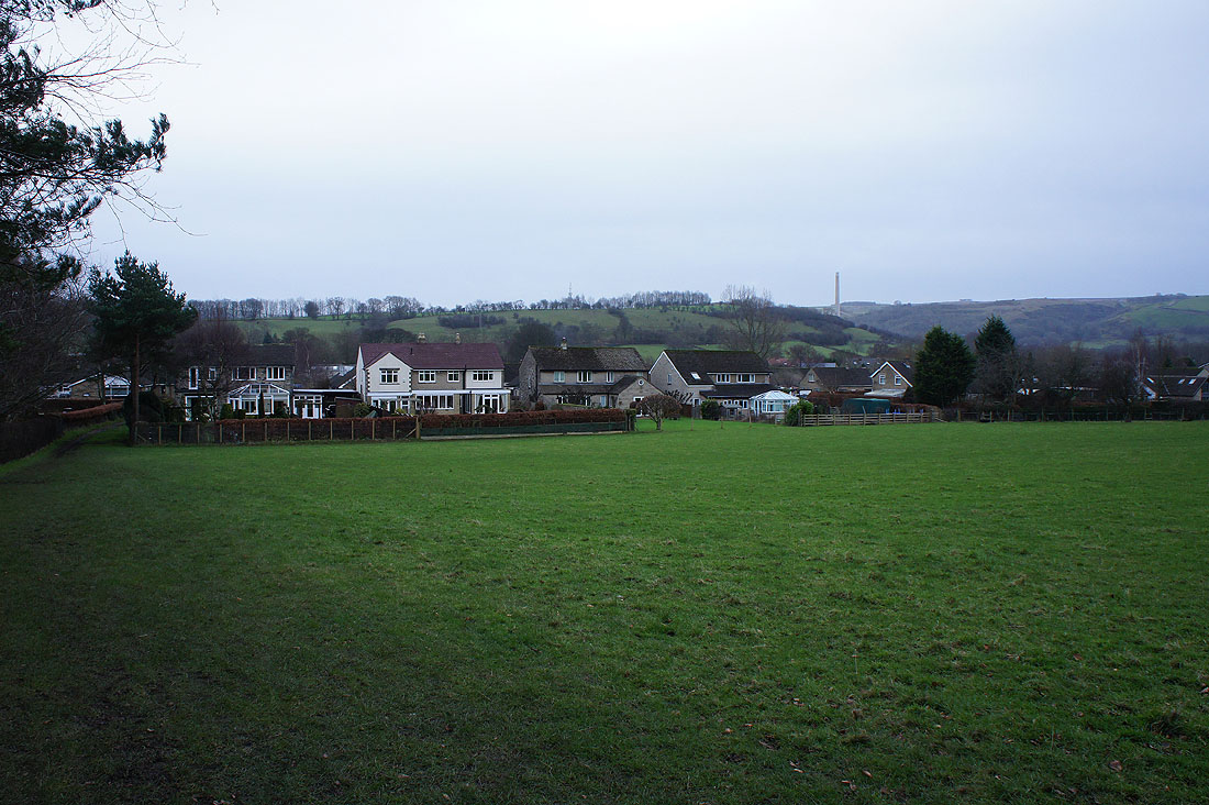
Win Hill above the rooftops as I set off from Hope
Stanage Edge in the distance as I follow the field path to Brough
To my left, Win Hill and Bamford Edge
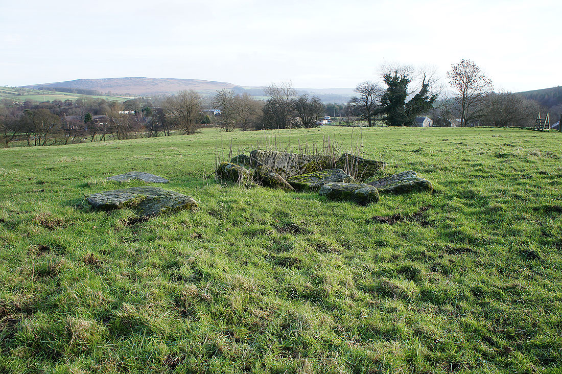
The tooled stones in the centre of what was the Navio Roman Fort. It takes a bit to imagine what used to be here.
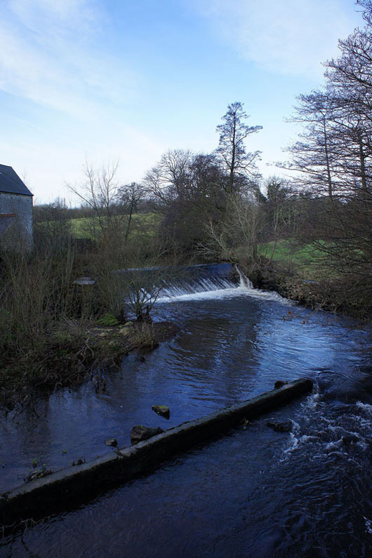
Crossing the River Noe
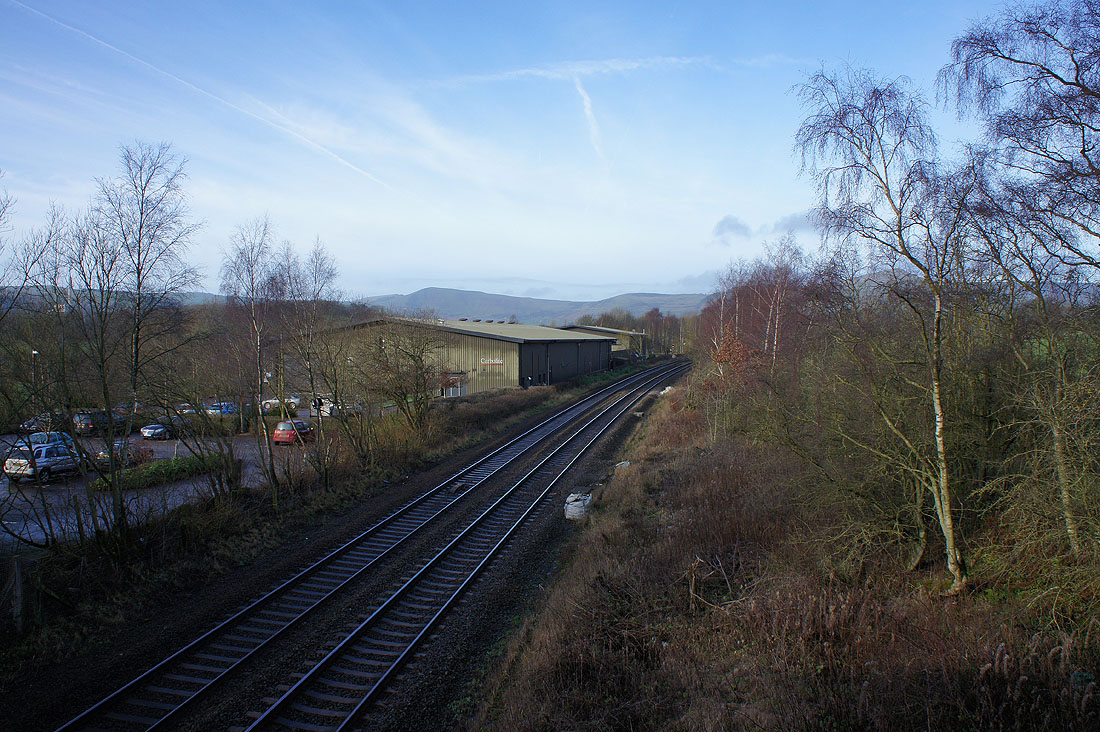
and the railway line just down from Hope station
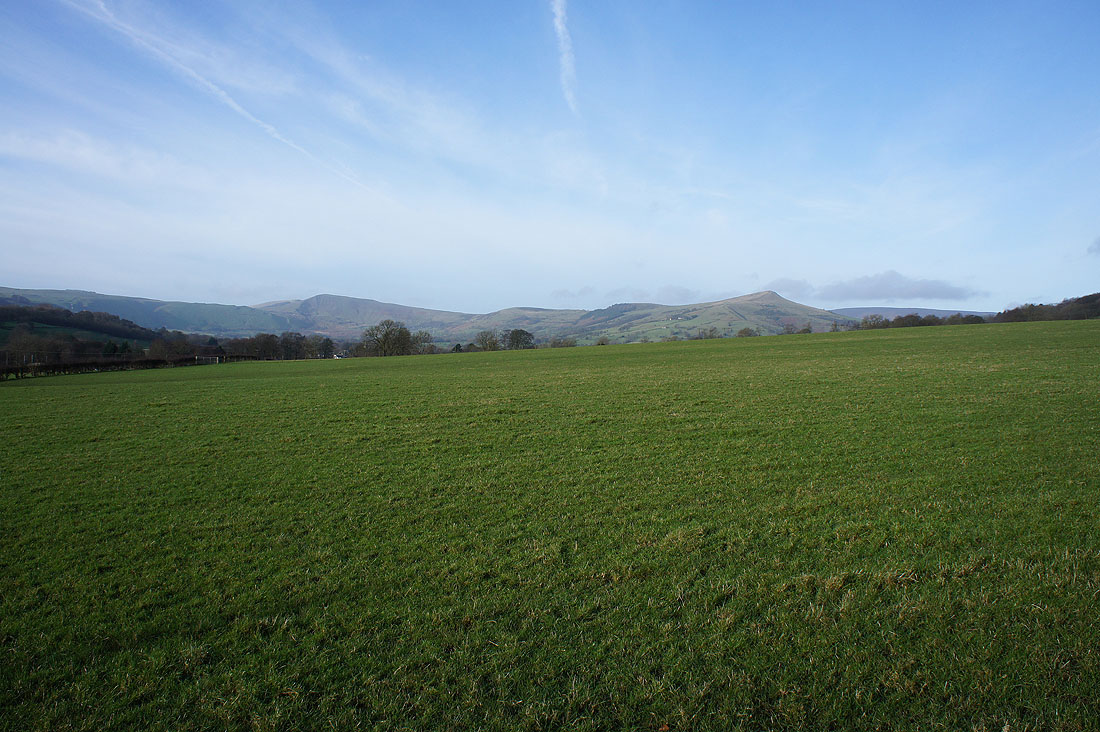
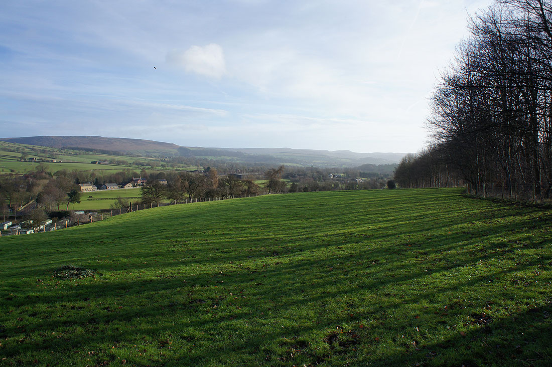
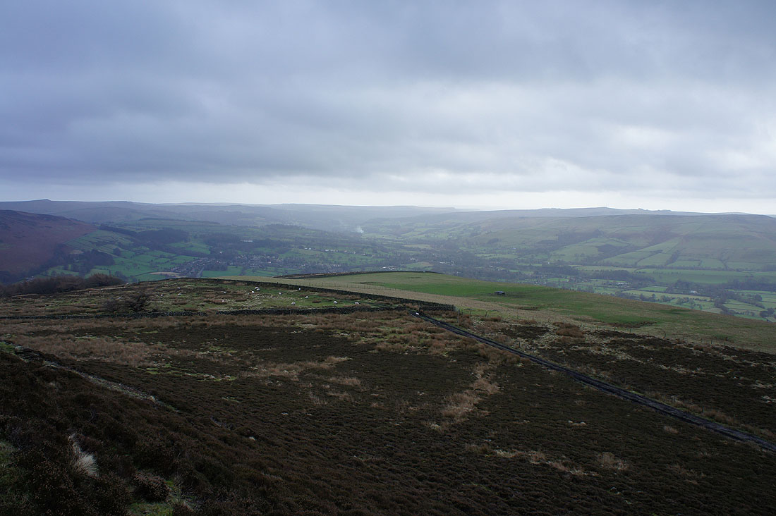
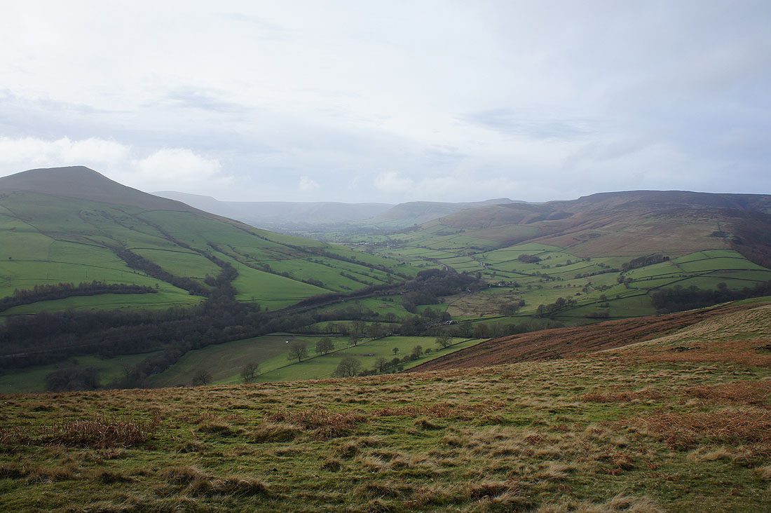
A lovely view up the valley to Mam Tor and Lose Hill from the road to Aston
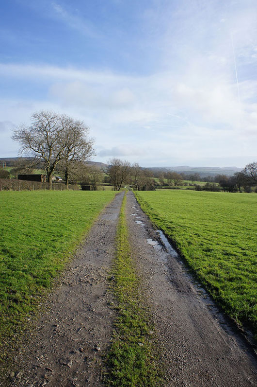
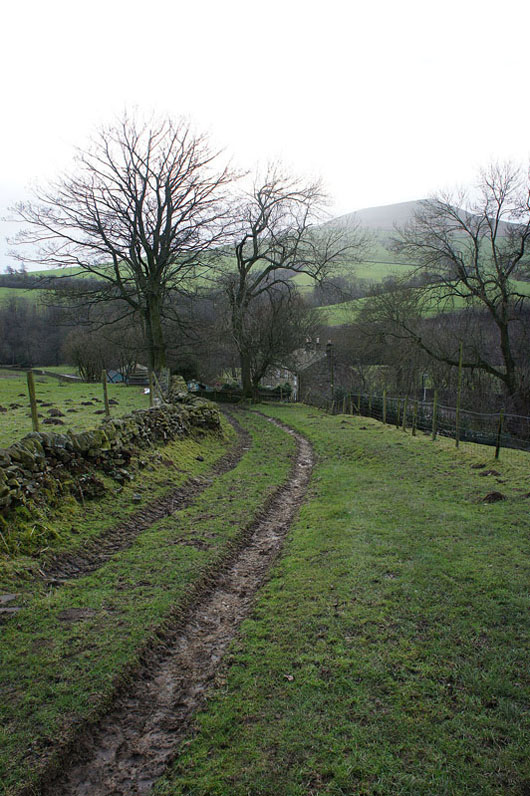
Off the road at Hallum Barn and onto field paths
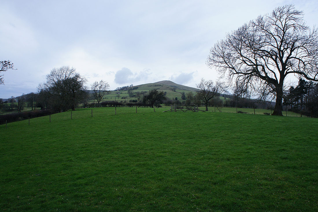
The lower slopes of Win Hill ahead
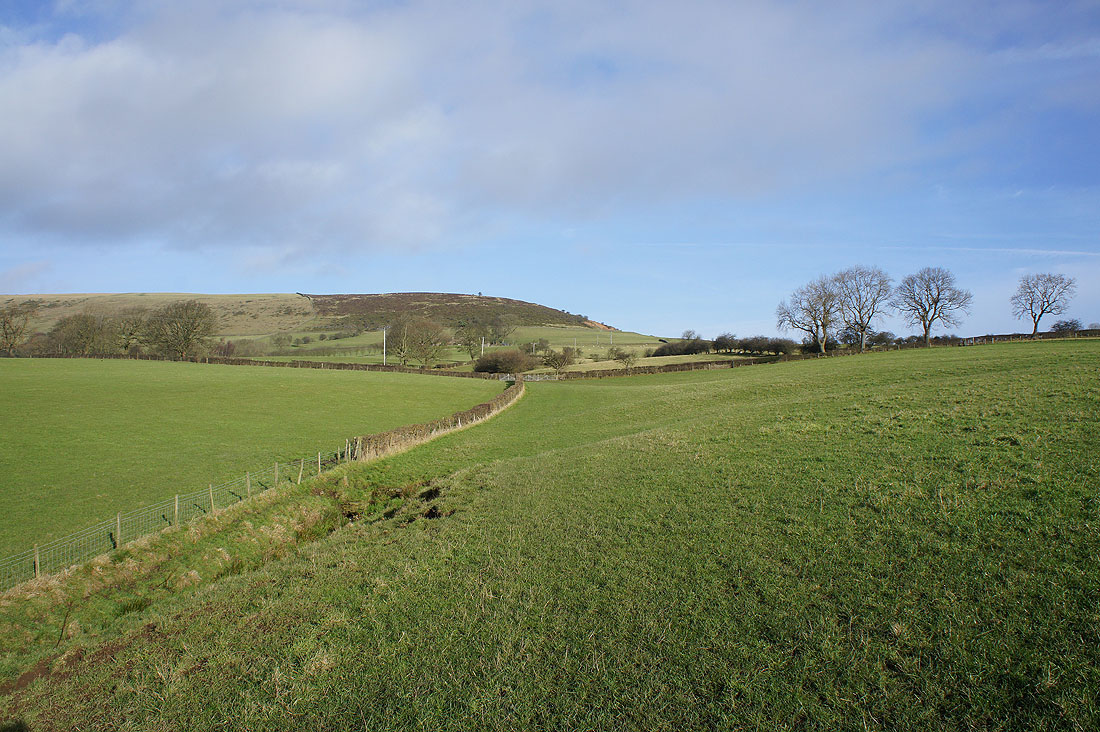
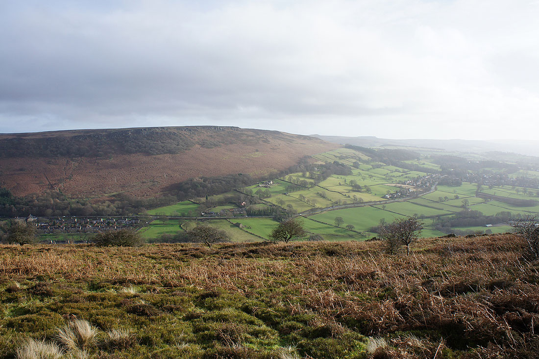
The path then traverses its eastern slopes where I have a view of the Ladybower Reservoir..
..and down the Derwent Valley to Bamford
Bamford Edge and Bamford
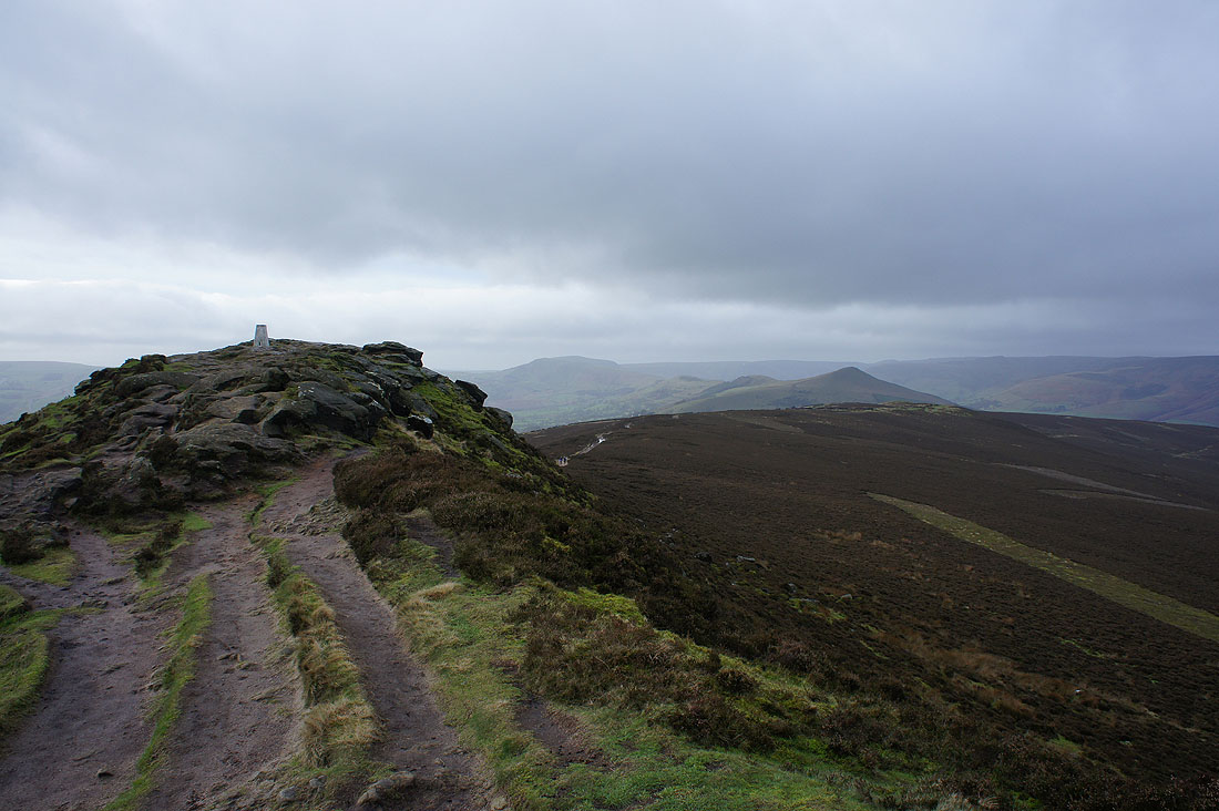
The trig point come into view as I near the summit. It looks like the sunny weather I started with has disappeared.
As I was sat having my lunch the sun briefly came out. It made the view across to Mam Tor, Lose Hill and Kinder Scout quite atmospheric.
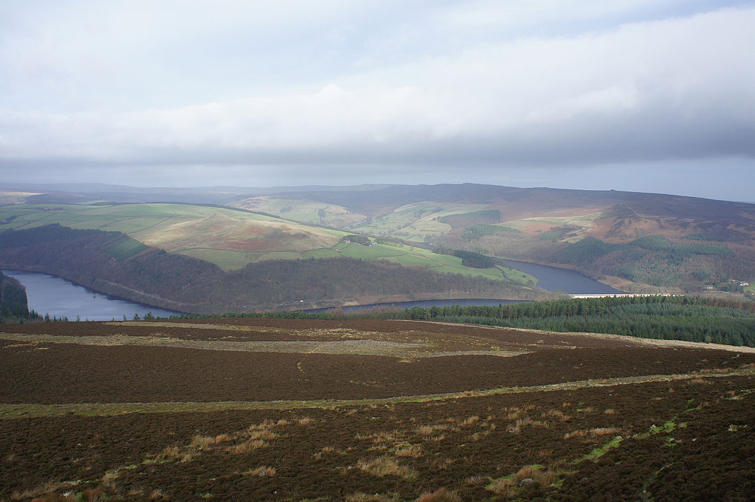
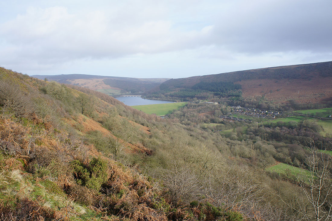
The Ladybower Reservoir, Crook Hill and Derwent Edge
Stanage Edge and Bamford Edge
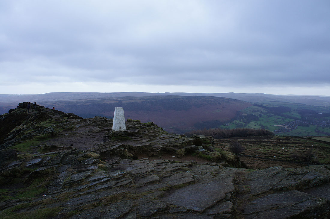
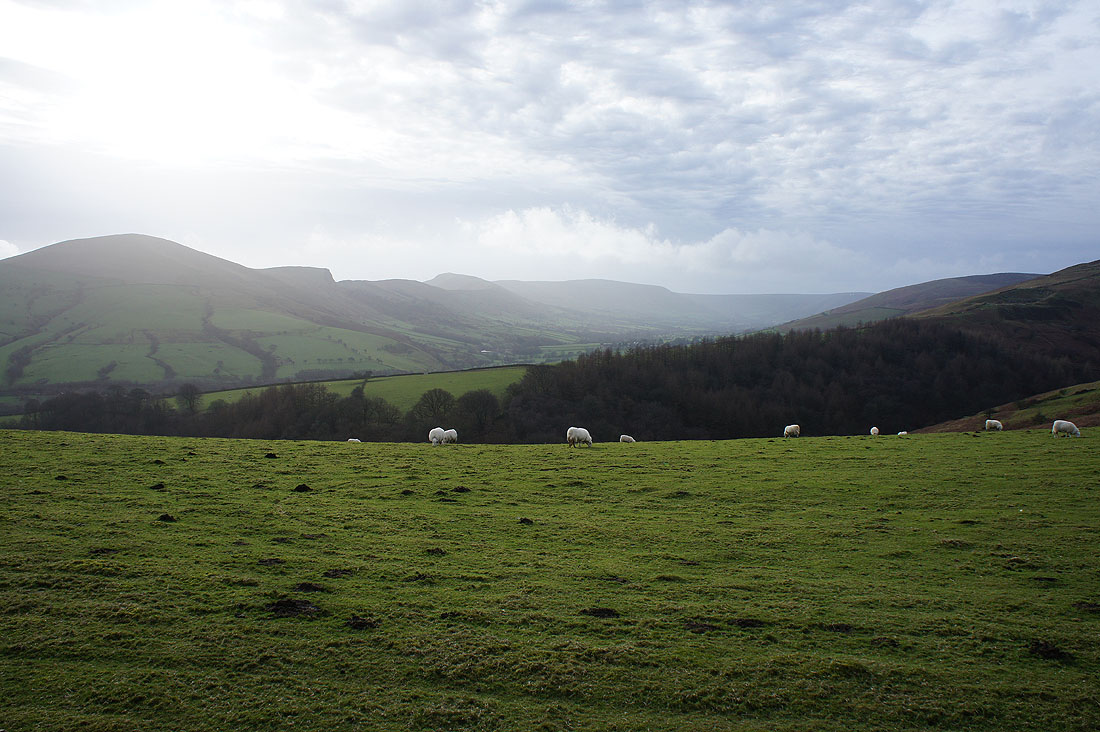
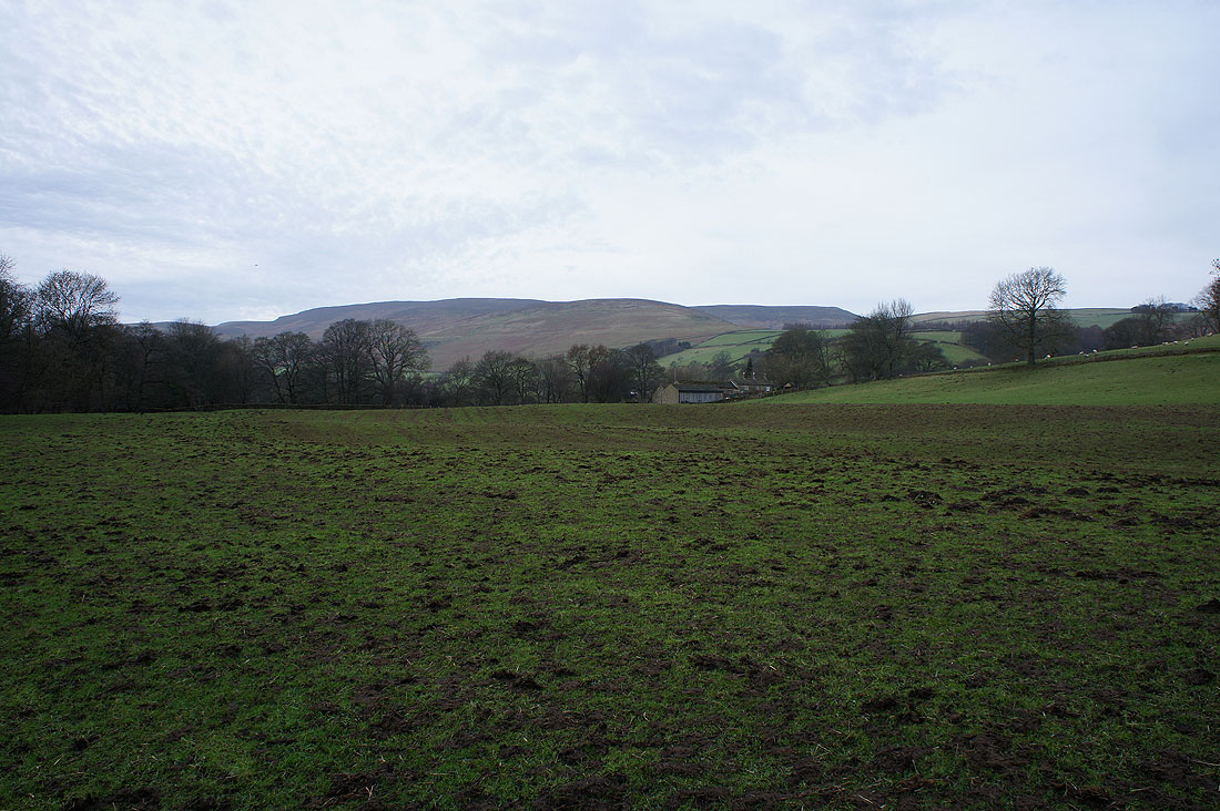
Looking up the Hope Valley towards Castleton
and down the Hope Valley
Leaving the rocky summit behind
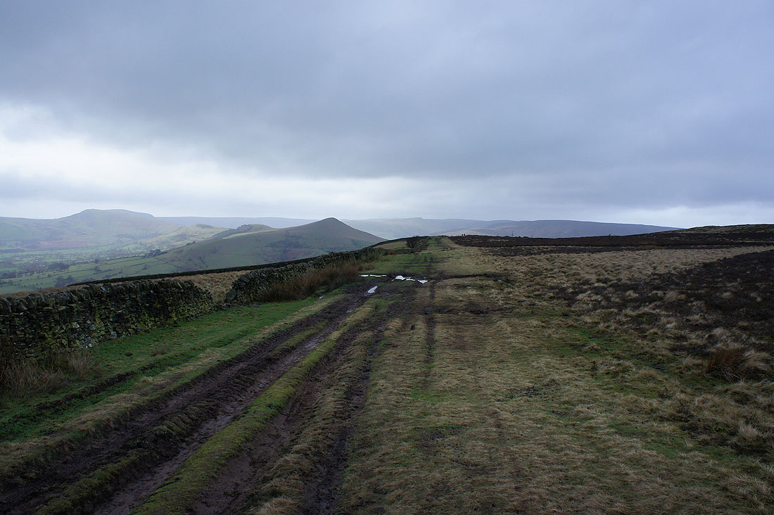
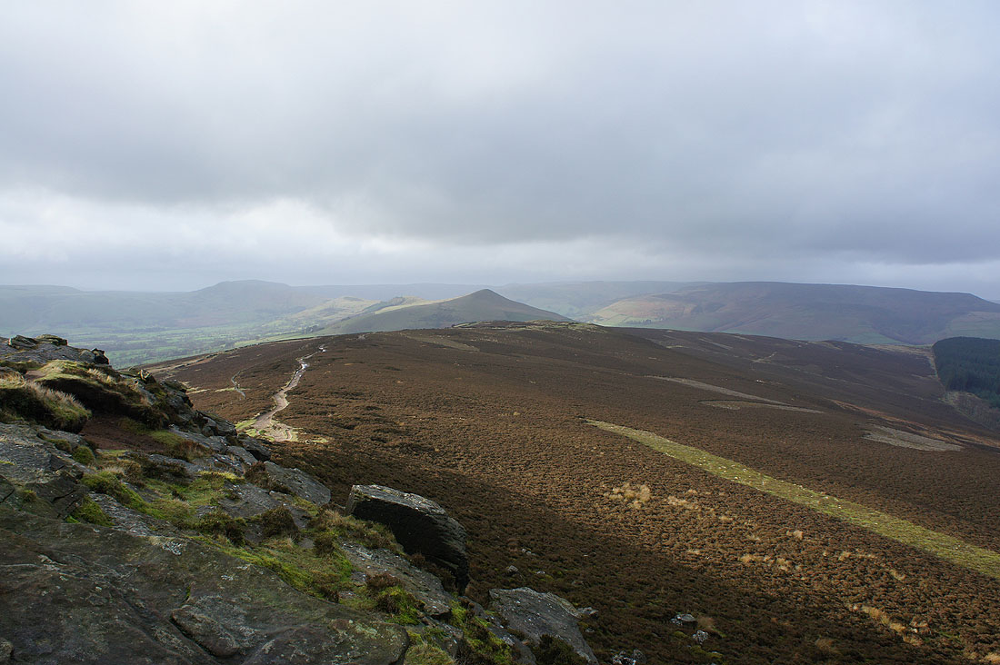
As I follow the path towards Hope Cross..
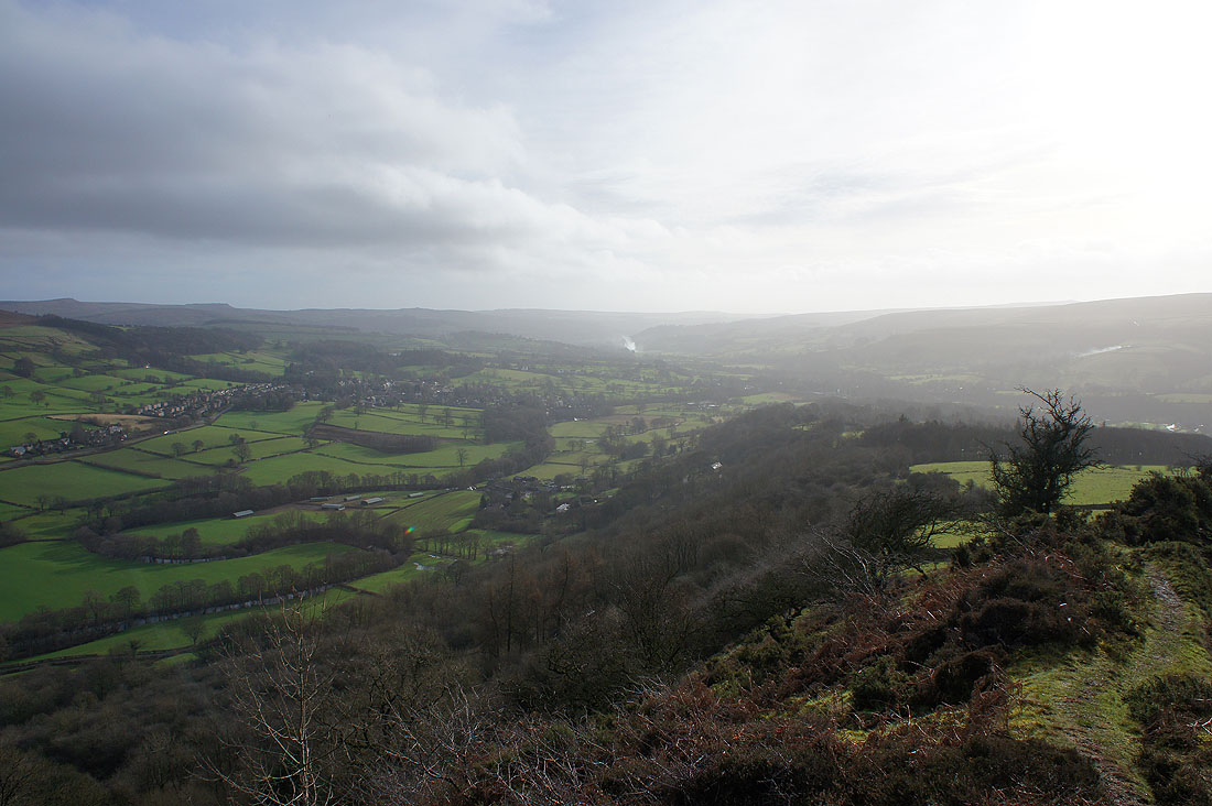
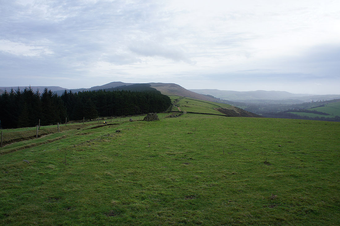
There are improving views of the eastern end of Kinder Scout
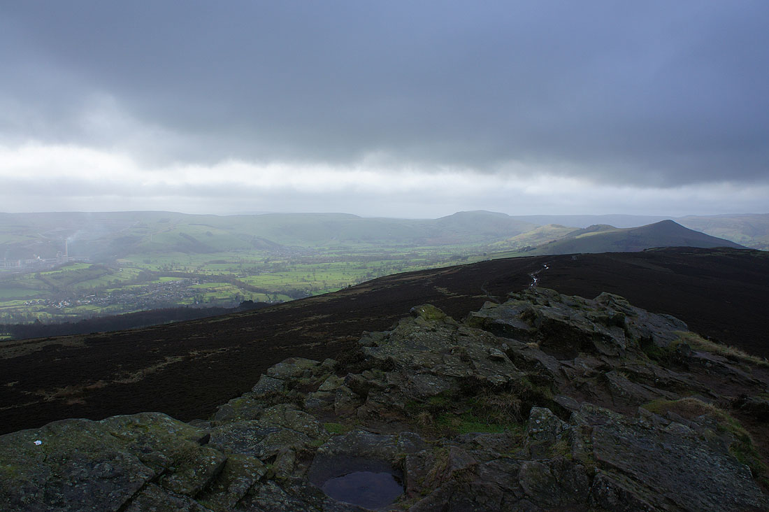
and then into the Vale of Edale
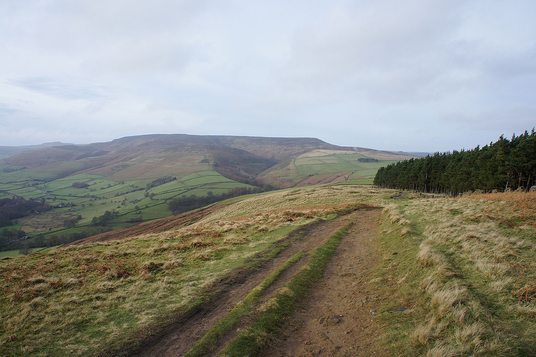
The Great Ridge from Lose Hill to Mam Tor on the left
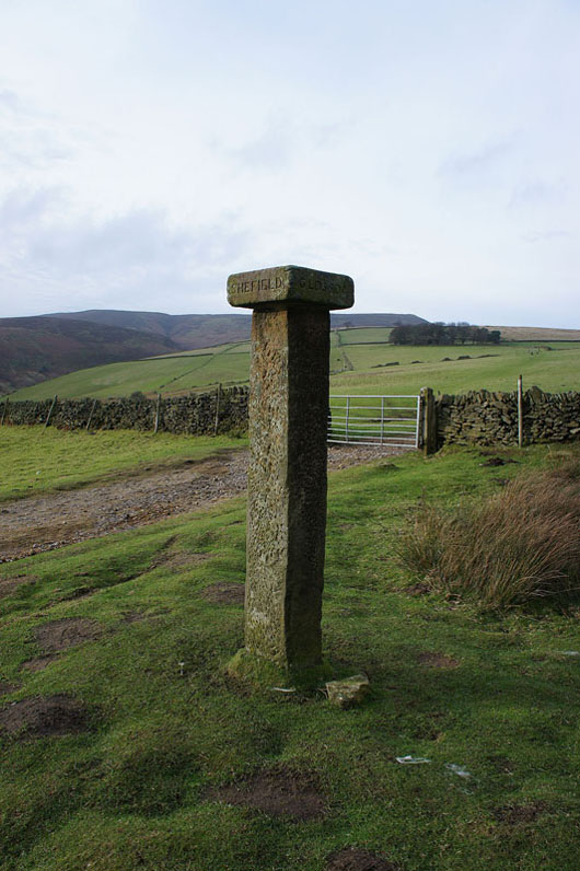
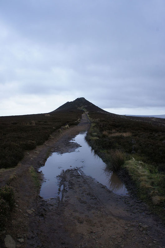
Hope Cross
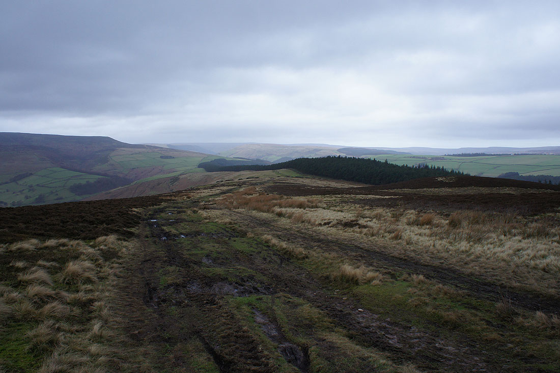
Looking back along the ridge I've just walked to Win Hill
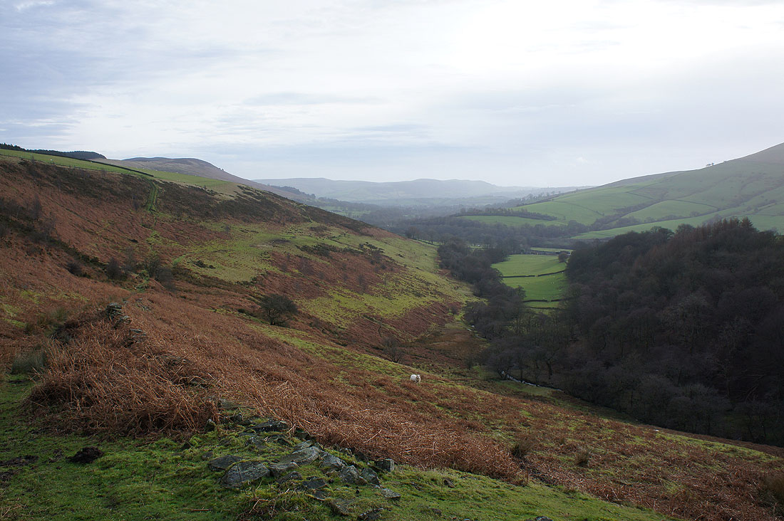
On the path down into Jaggers Clough
Approaching Upper Fulwood Farm
Nether Moor above Upper Fulwood Farm from Bagshaw Bridge
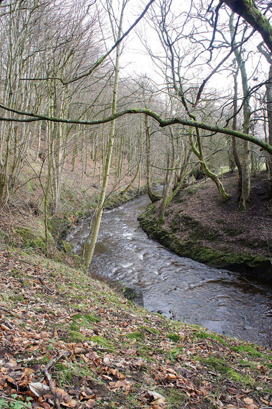
On the path above the River Noe
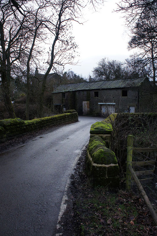
Crossing Townhead Bridge
Lose Hill as I get off the Edale Road for a footpath..
..back to Hope