23rd July 2016 - A circuit of Kinder Scout
Walk Details
Distance walked: 15.1 miles
Total ascent: 2541 ft
OS map used: OL1 - The Peak District, Dark Peak area
Time taken: 8.5 hrs
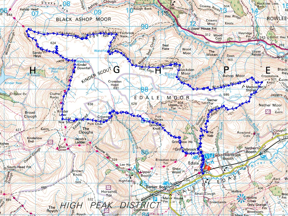
Route description: Edale-Grindsbrook Booth-Pennine Way-Grindslow Knoll-Crowden Tower-Wool Packs-Pym Chair-Kinder Low-Pennine Way-Kinder Downfall-Pennine Way-624m trig point-Pennine Way-The Edge-Fairbrook Naze-Seal Edge-Blackden Edge-Crookstone Out Moor-Ringing Roger-Grindsbrook Booth-Edale
After first thinking about doing this walk several weeks ago today was the day when I decided that the time was right for me to give it a go. Importantly there was a fine summers day forecast but also it was a Saturday. I knew that a long day lay ahead and I definitely preferred not to have to be getting up at the crack of dawn for work the following morning. I did a walk of a similar length at the beginning of April and in my report for it I did moan a little about the reasons for not doing a walk that long for ages. No complaints this time. Perhaps it was because that once I was up on the edge there wasn't in much in the way of ups and downs to speak of or more likely I'm just that bit fitter than I was in April. Strictly speaking I suppose that I should have descended from the edge by the same route that I went up to say that I've completed the circuit of Kinder Scout but for now this will do. If I decide to try it again (and it's possible) I'll do that.
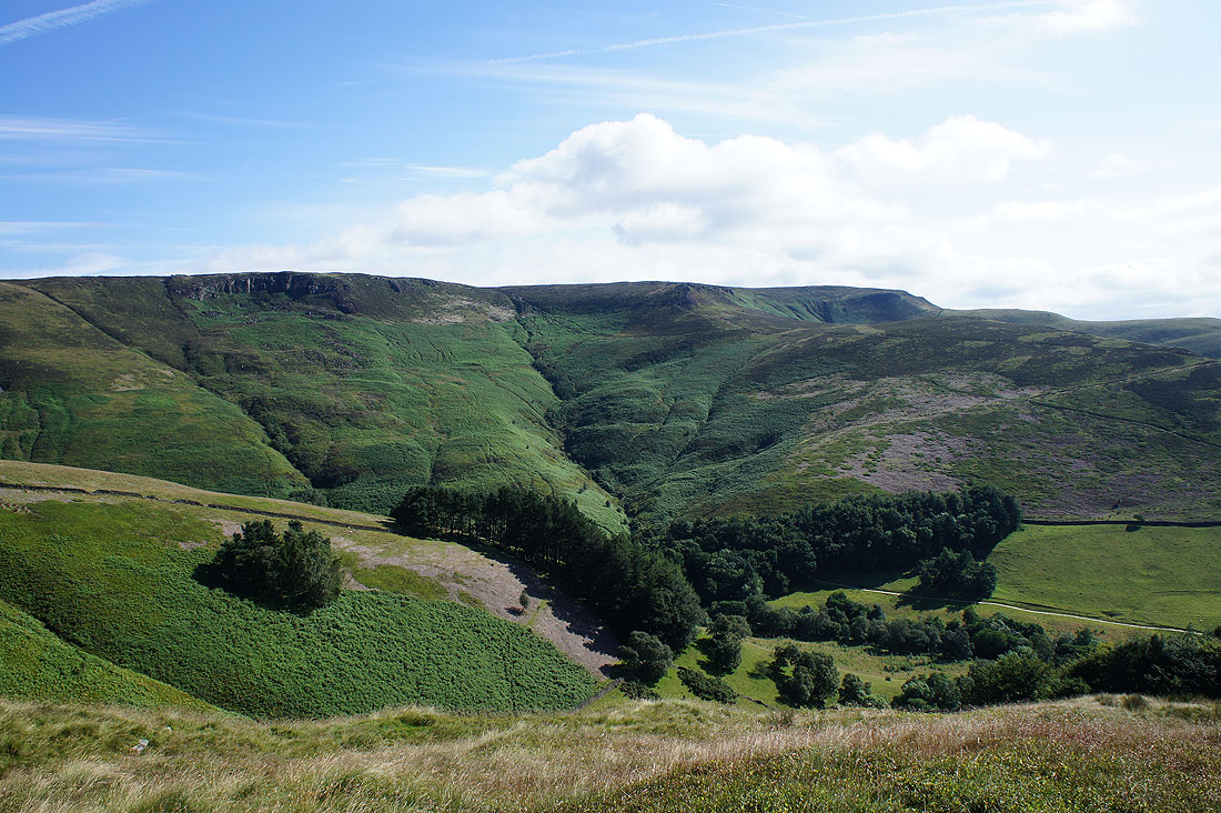
After parking in the car park in Edale I walked up the road to The Old Nags Head pub in Grindsbrook Booth where I turned left onto the start of the Pennine Way. It takes a narrow tree lined track uphill and when it emerges into the open I left it for the path up to the summit of Grindslow Knoll. I then made my way across to the path that's ascended Grindsbrook Clough and followed it west; across Crowden Brook, to Crowden Tower, through the Wool Packs and past Pym Chair and Noe Stool to the trig point on Kinder Low. The trail of the Pennine Way then took me north to Kinder Downfall and west to Sandy Heys and the western end of Kinder Scout. I'd decided that I'd pay the trig point on this part of Kinder Scout a visit while I was passing. I left the edge path when it goes through a kissing gate in a wall before reaching Sandy Heys (the wall is on the OS map), followed the wall uphill, then crossed a stile in a fence, after which I was able to spot the trig point. After having lunch here (it was a quiet spot) I returned to the edge path by the same route. From the western end of Kinder Scout route finding was very easy, just follow the edges east. The Edge to Fairbrook Naze, after crossing Fair Brook, Seal Edge to Seal Stones and finally after crossing Blackden Brook, Blackden Edge to Crookstone Knoll. The corner was turned on Crookstone Out Moor as I crossed the top of Jaggers Clough and the Vale of Edale was back in sight. The edge path was followed west to Ringing Roger and from there I made my descent down to Grindsbrook Booth and a walk down the road back to Edale.
Total ascent: 2541 ft
OS map used: OL1 - The Peak District, Dark Peak area
Time taken: 8.5 hrs
Route description: Edale-Grindsbrook Booth-Pennine Way-Grindslow Knoll-Crowden Tower-Wool Packs-Pym Chair-Kinder Low-Pennine Way-Kinder Downfall-Pennine Way-624m trig point-Pennine Way-The Edge-Fairbrook Naze-Seal Edge-Blackden Edge-Crookstone Out Moor-Ringing Roger-Grindsbrook Booth-Edale
After first thinking about doing this walk several weeks ago today was the day when I decided that the time was right for me to give it a go. Importantly there was a fine summers day forecast but also it was a Saturday. I knew that a long day lay ahead and I definitely preferred not to have to be getting up at the crack of dawn for work the following morning. I did a walk of a similar length at the beginning of April and in my report for it I did moan a little about the reasons for not doing a walk that long for ages. No complaints this time. Perhaps it was because that once I was up on the edge there wasn't in much in the way of ups and downs to speak of or more likely I'm just that bit fitter than I was in April. Strictly speaking I suppose that I should have descended from the edge by the same route that I went up to say that I've completed the circuit of Kinder Scout but for now this will do. If I decide to try it again (and it's possible) I'll do that.
After parking in the car park in Edale I walked up the road to The Old Nags Head pub in Grindsbrook Booth where I turned left onto the start of the Pennine Way. It takes a narrow tree lined track uphill and when it emerges into the open I left it for the path up to the summit of Grindslow Knoll. I then made my way across to the path that's ascended Grindsbrook Clough and followed it west; across Crowden Brook, to Crowden Tower, through the Wool Packs and past Pym Chair and Noe Stool to the trig point on Kinder Low. The trail of the Pennine Way then took me north to Kinder Downfall and west to Sandy Heys and the western end of Kinder Scout. I'd decided that I'd pay the trig point on this part of Kinder Scout a visit while I was passing. I left the edge path when it goes through a kissing gate in a wall before reaching Sandy Heys (the wall is on the OS map), followed the wall uphill, then crossed a stile in a fence, after which I was able to spot the trig point. After having lunch here (it was a quiet spot) I returned to the edge path by the same route. From the western end of Kinder Scout route finding was very easy, just follow the edges east. The Edge to Fairbrook Naze, after crossing Fair Brook, Seal Edge to Seal Stones and finally after crossing Blackden Brook, Blackden Edge to Crookstone Knoll. The corner was turned on Crookstone Out Moor as I crossed the top of Jaggers Clough and the Vale of Edale was back in sight. The edge path was followed west to Ringing Roger and from there I made my descent down to Grindsbrook Booth and a walk down the road back to Edale.
Route map
© Crown copyright. All rights reserved. License number PU 100034184.
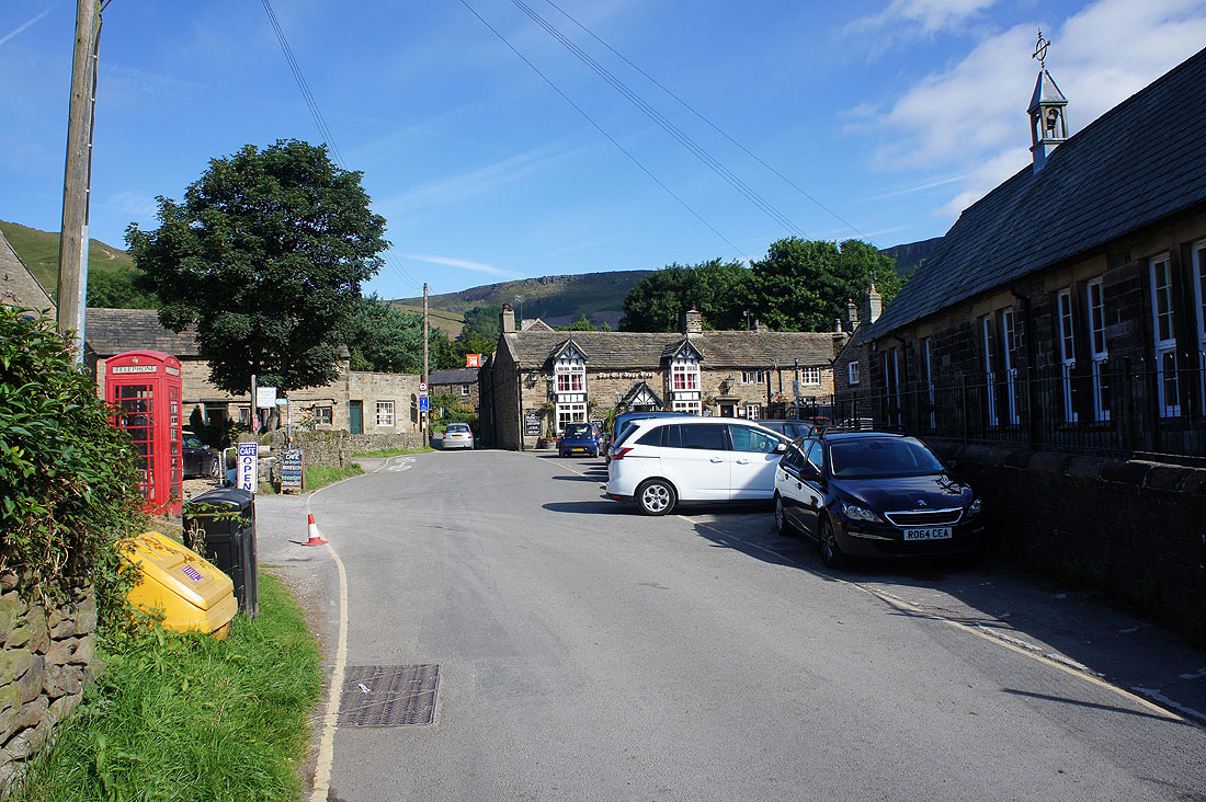
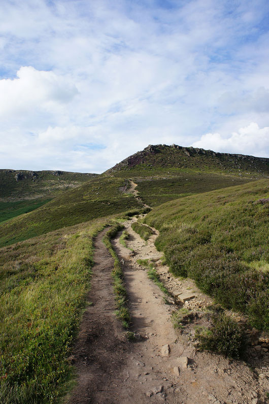
It's a beautiful morning as I head out of Edale. At The Old Nags Head I'll turn left and take the start of the Pennine Way.
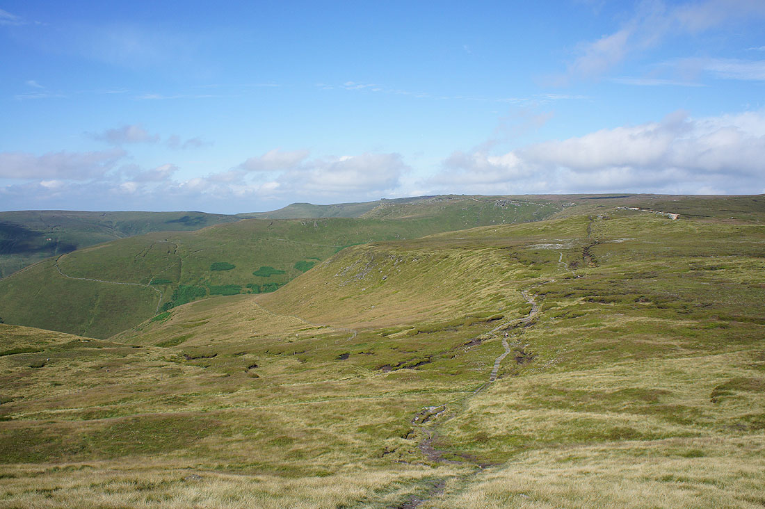
I wasn't on the Pennine Way for long. Looking across Grindsbrook Clough to Nether Tor and Ringing Roger as I head up to..
..the summit of Grindslow Knoll
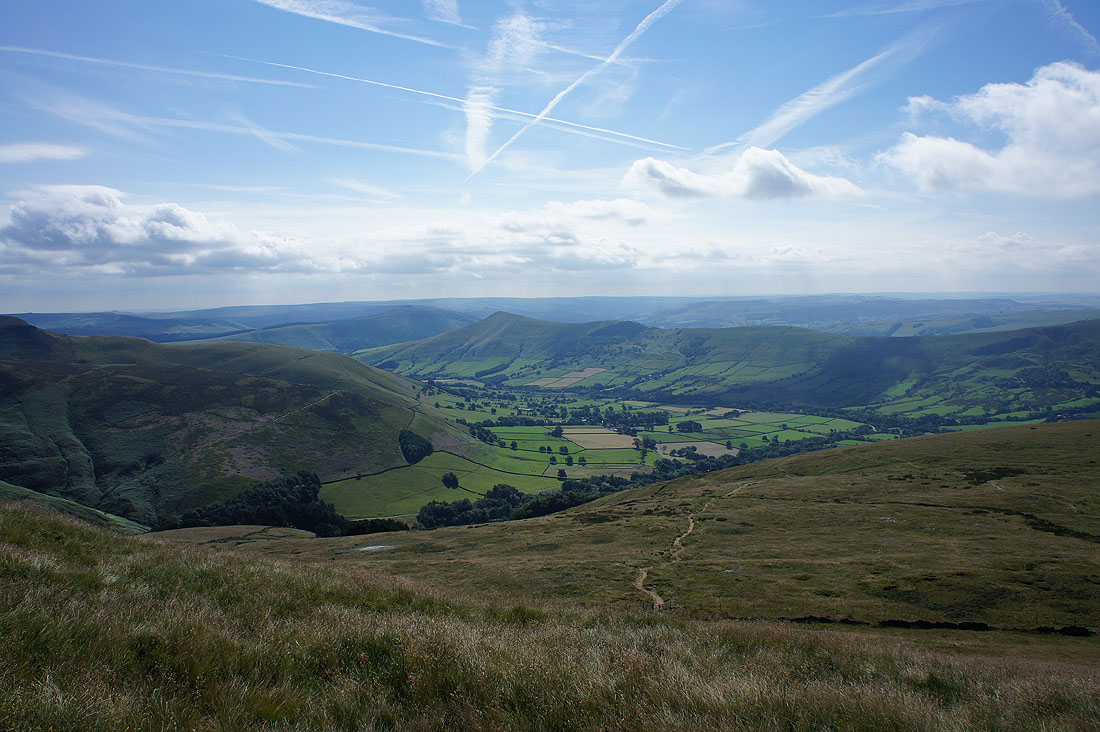
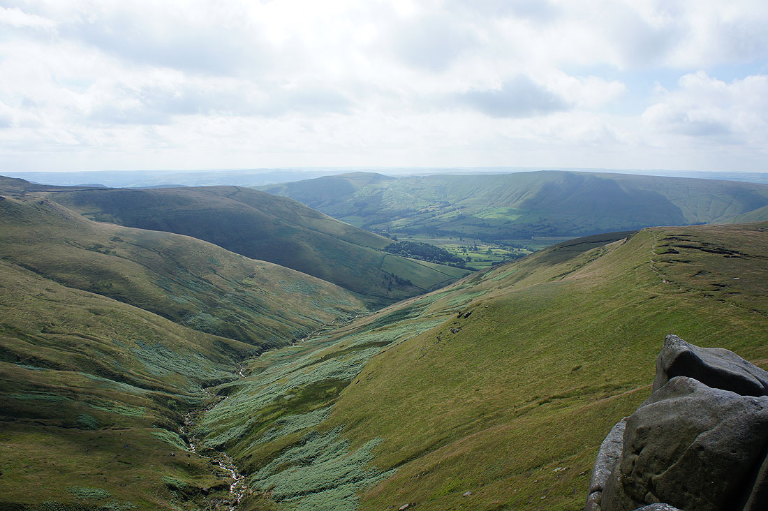
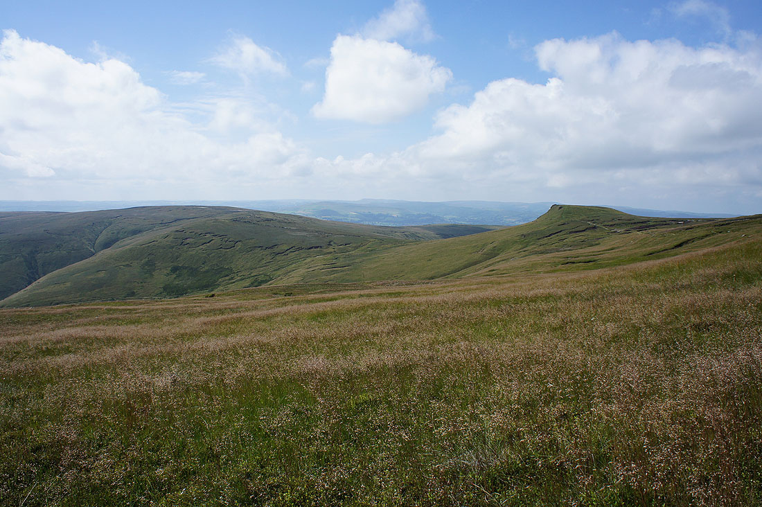
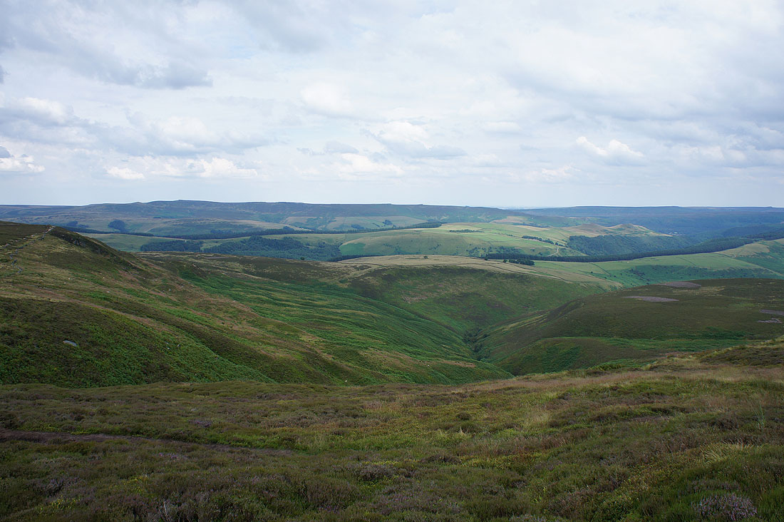
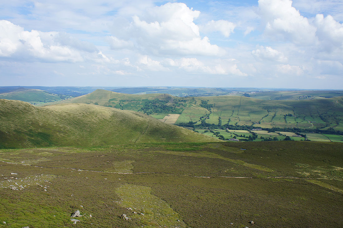
The next part of my walk is in sight. Looking across the southern slopes of Kinder Scout to Noe Stool and Crowden Tower.
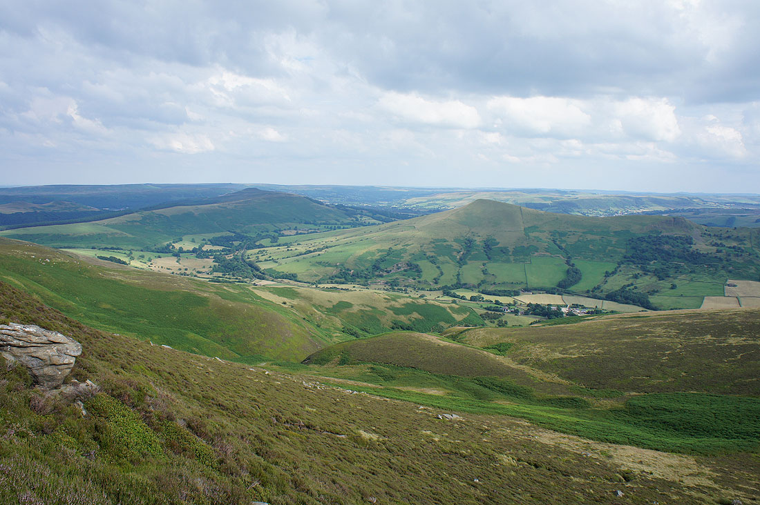
The Great Ridge on the other side of the Vale of Edale, from Lose Hill and Back Tor to..
..Mam Tor and Lord's Seat
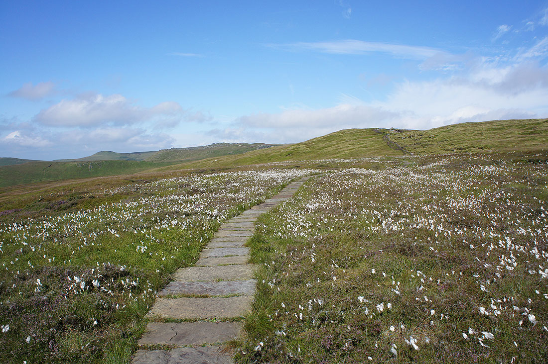
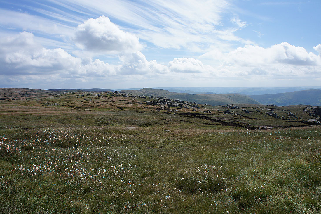
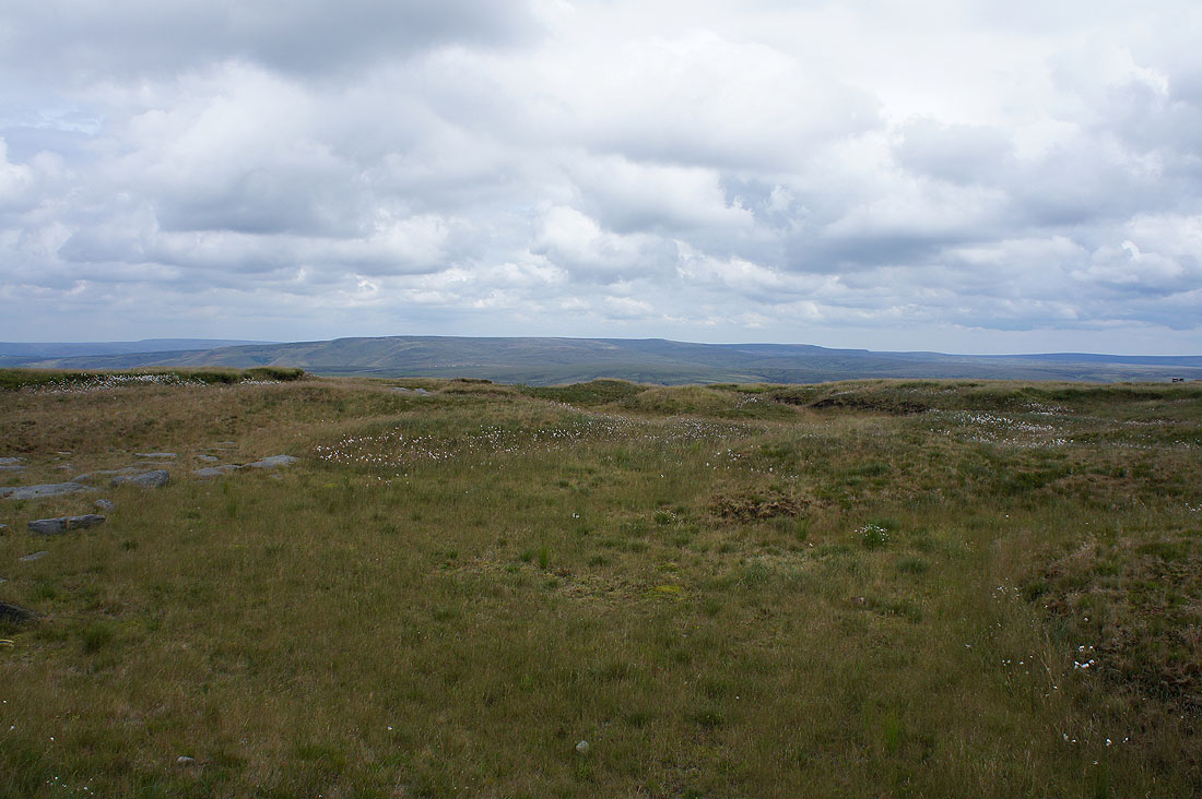
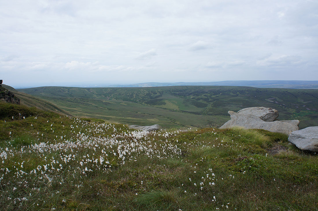
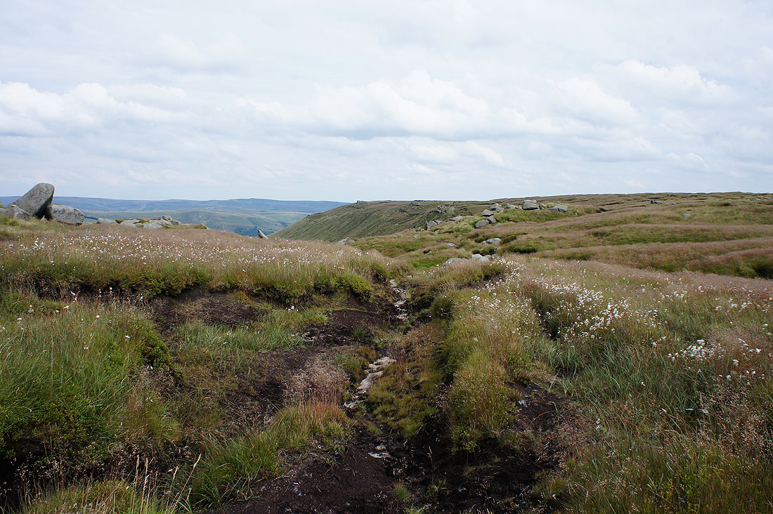
A fine display of cotton grass as I leave Grindslow Knoll
On Crowden Tower. Looking down Crowden Clough to Mam Tor and Lord's Seat.
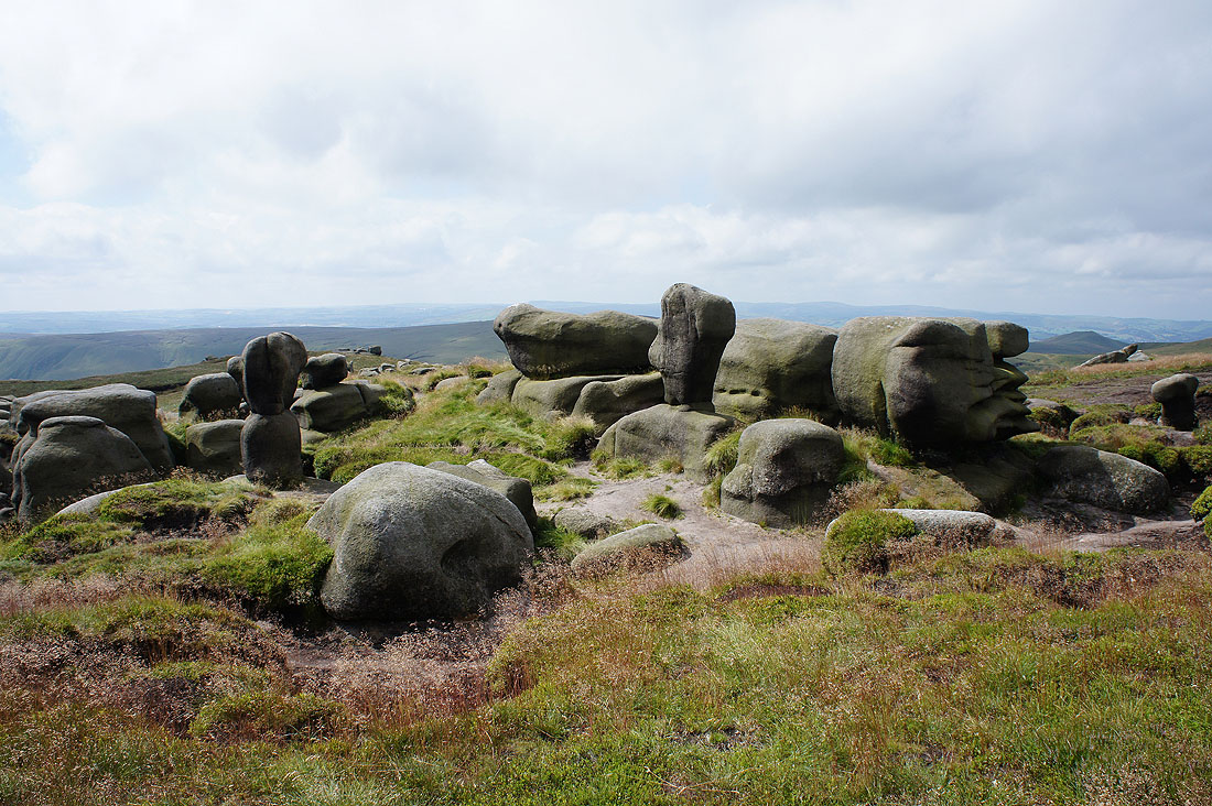
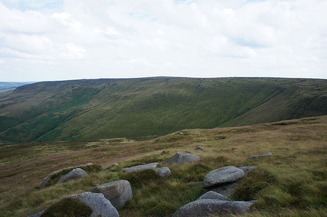
Through the Wool Packs
Pym Chair
Grindslow Knoll behind the Wool Packs from Pym Chair
Brown Knoll and Swine's Back..
..as I pass Noe Stool with its view down the Vale of Edale
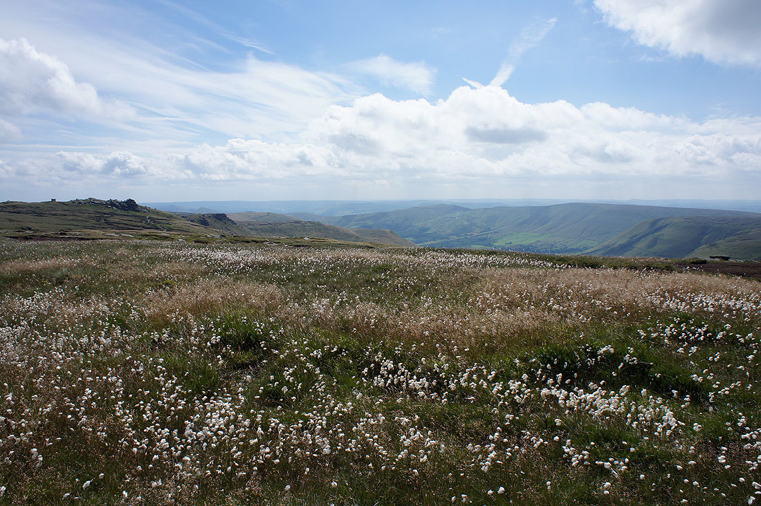
Looking back through a carpet of cotton grass to the Vale of Edale just before I reach..
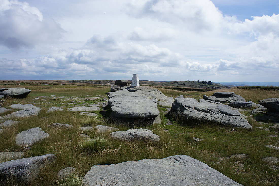
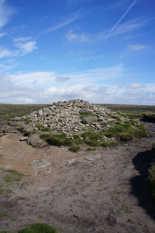
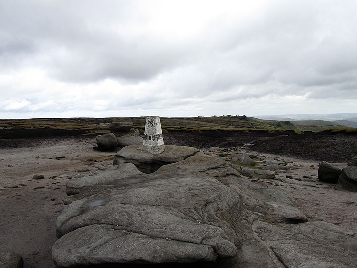
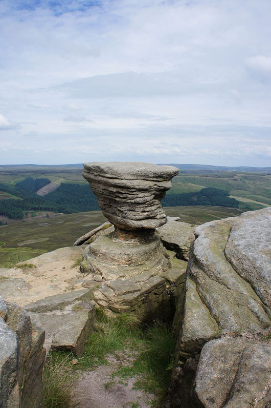
..the trig point on Kinder Low. Moorland restoration have really made great strides in the greening of Kinder Scout and other Pennine moors. Compare this photo with one I took on 14th May 2011 below.
Axe Edge Moor and Shining Tor in the distance to the southwest
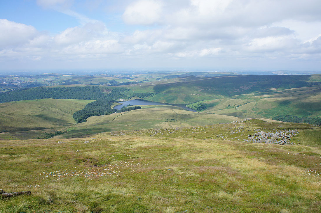
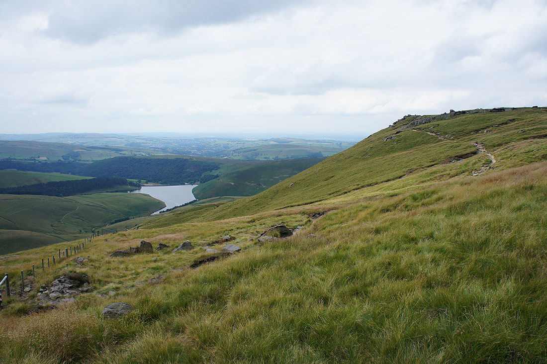
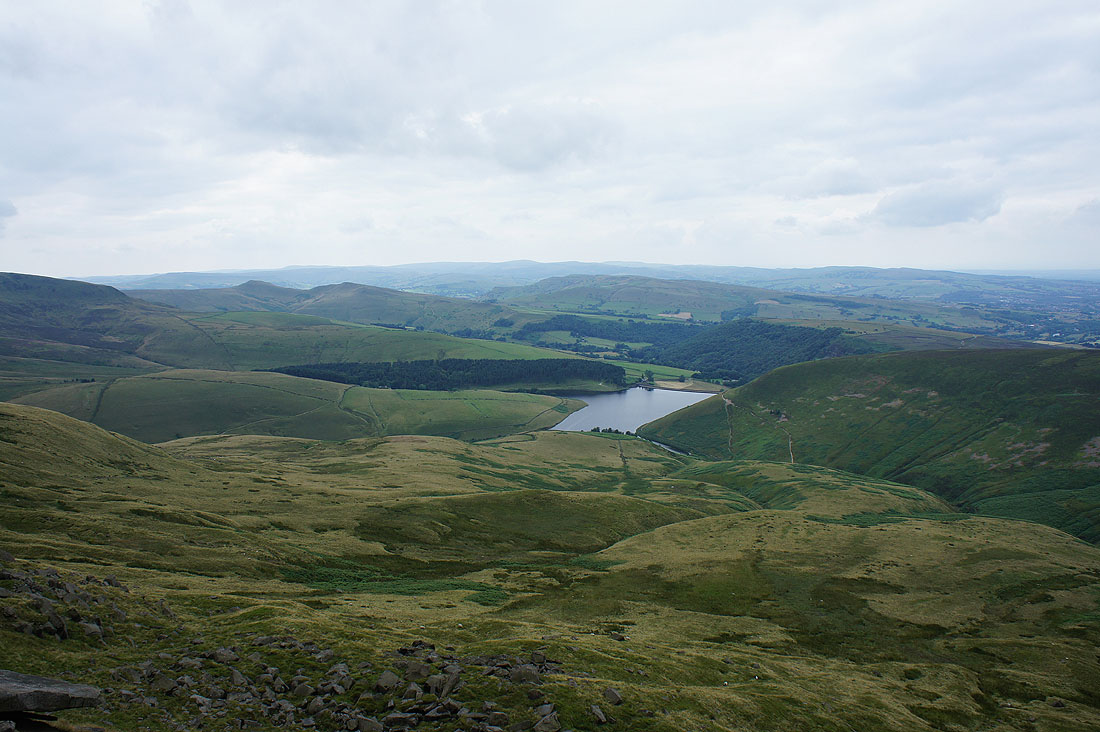
Kinder Reservoir below
Heading for Kinder Downfall

A glimpse of Mermaid's Pool as I cross the top of Red Brook
|
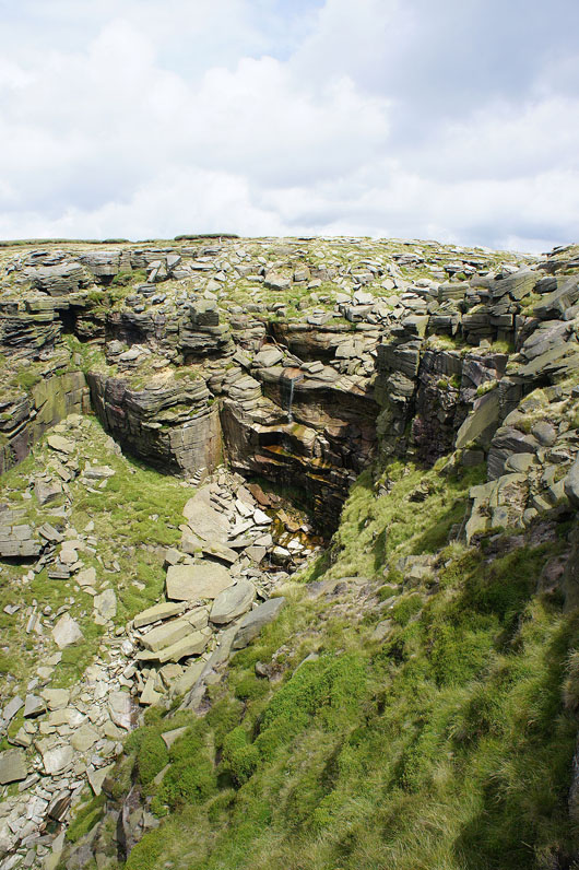
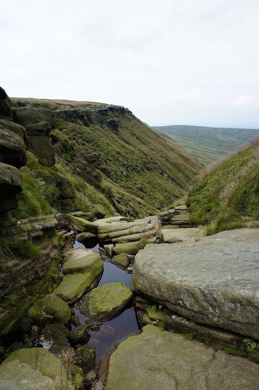
Kinder Downfall. Not much more than a trickle today.
|
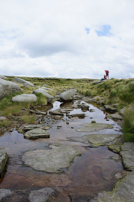
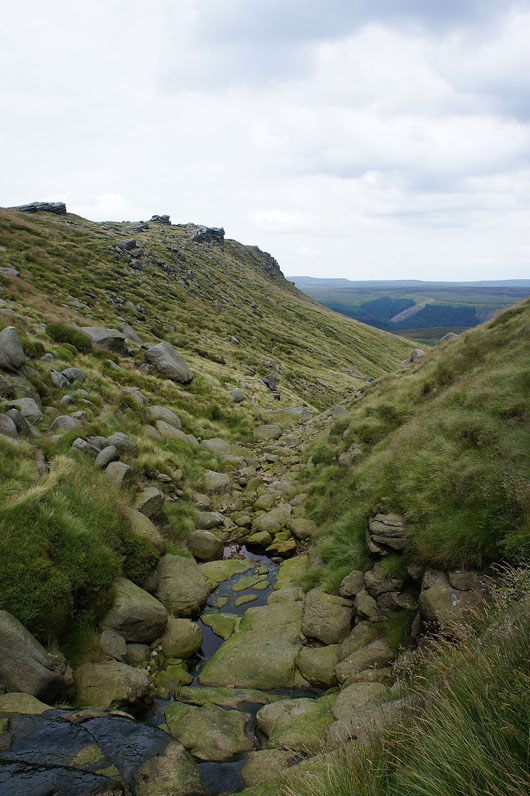
Crossing the River Kinder
|
Kinder Downfall again
|
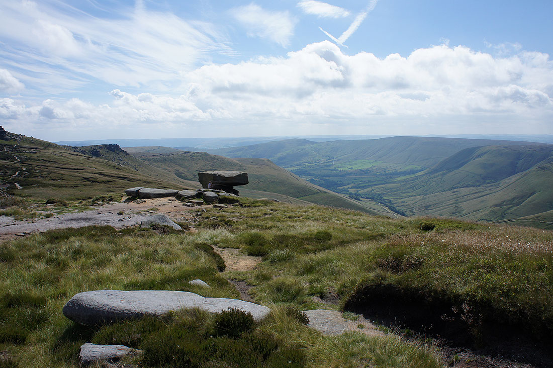
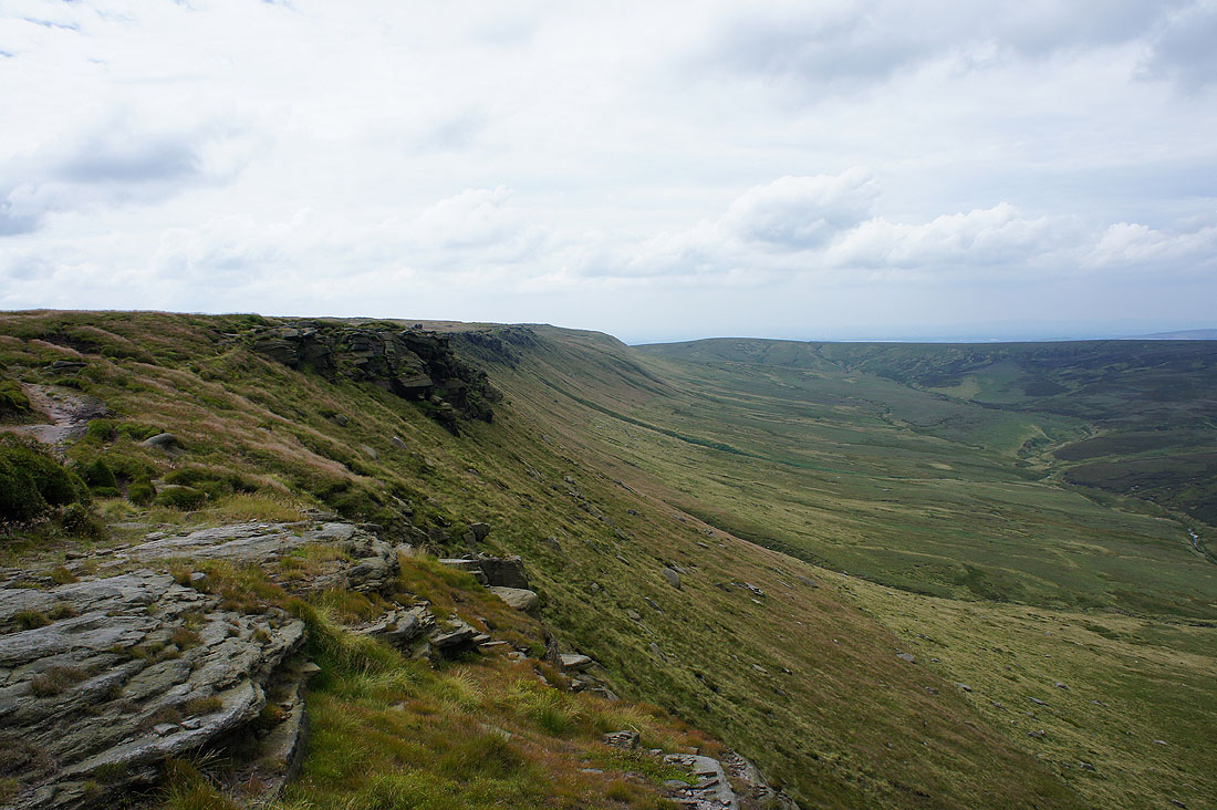
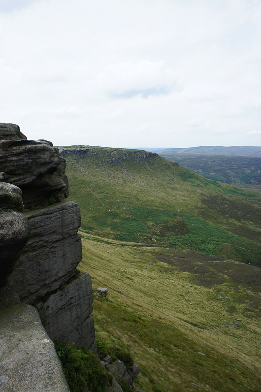
and looking back along the edge to Kinder Low from the top of the crag I'm stood on
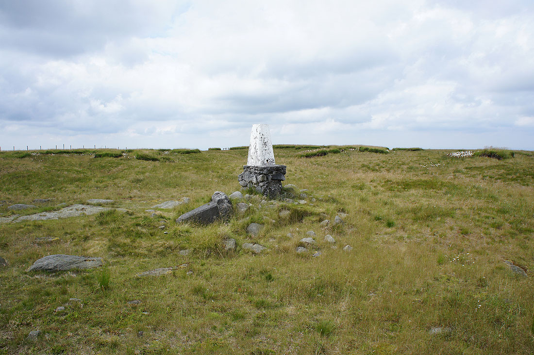
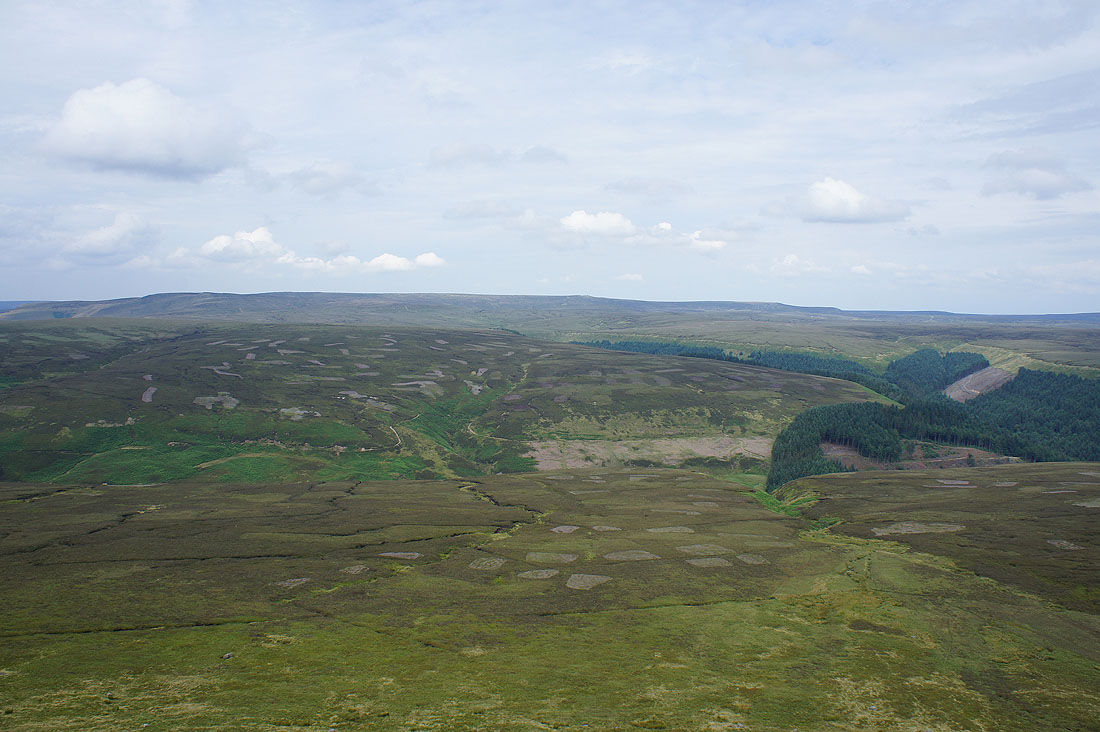
My edge top walk has been interrupted with a visit to the trig point on the western part of Kinder Scout's plateau. It was a quiet spot for lunch, a real contrast to the number of people on the edge. I suspect this is another part of the moor that has seen a regeneration in recent years and that that isn't the first trig point that has been erected here.
The only real view is north to Bleaklow
Back onto the edge top path
Mermaid's Pool and the edge to Kinder Low from Sandy Heys
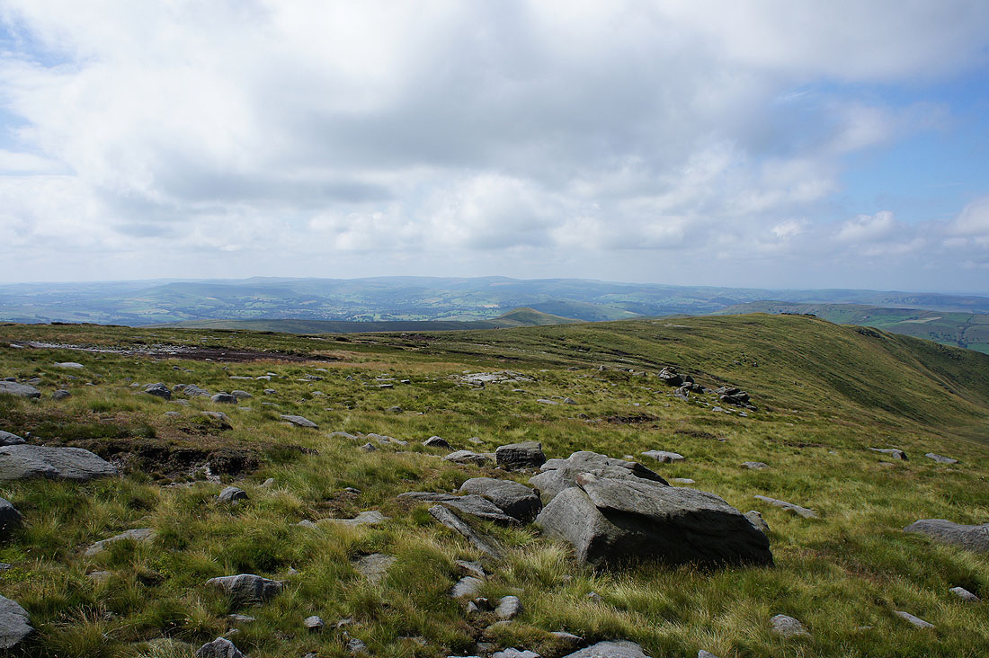
South Head, Mount Famine, Chinley Churn and Kinder Reservoir
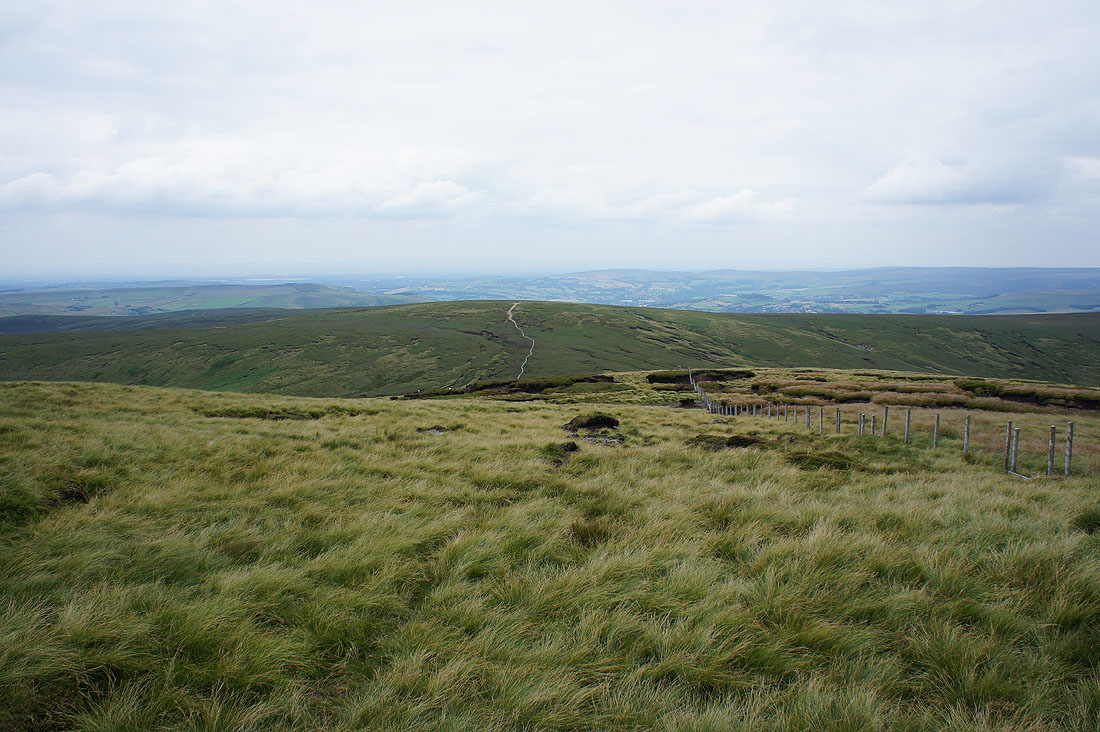
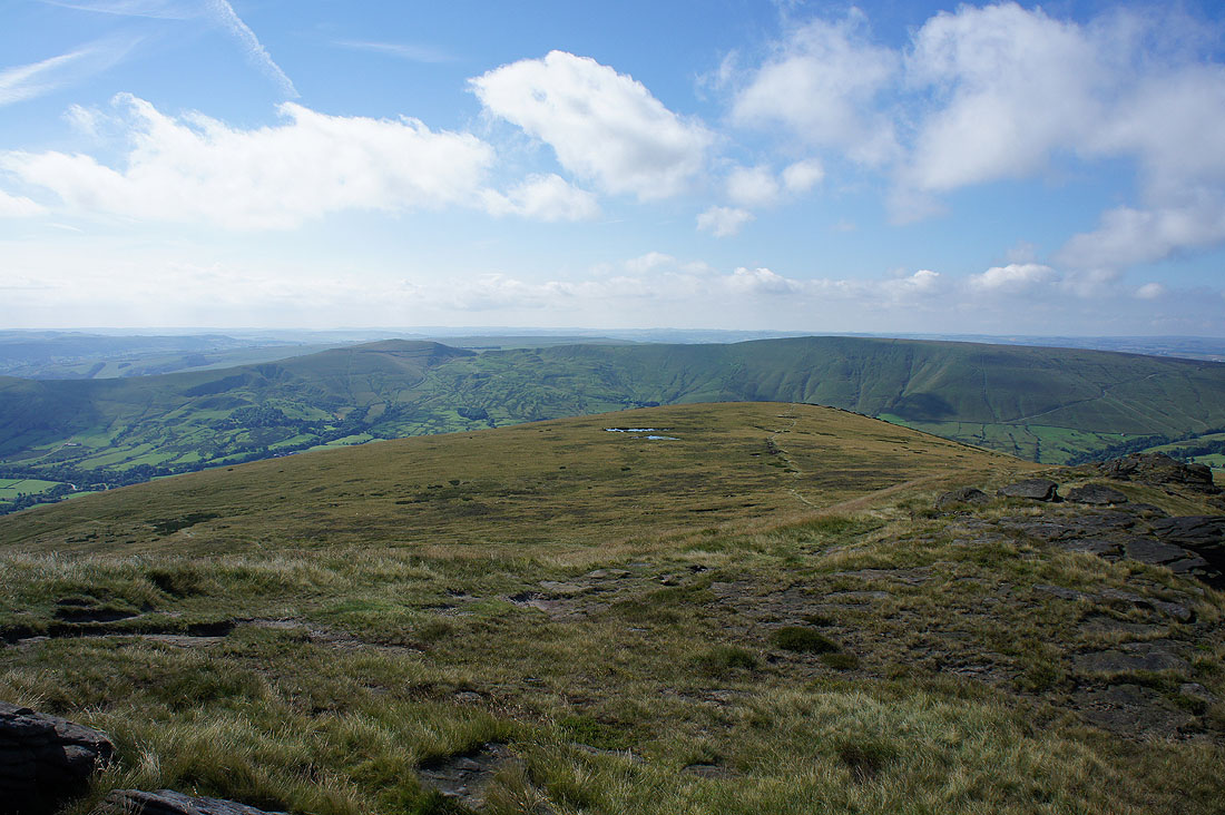
Finally at the western end of Kinder Scout. The Pennine Way (which I've been on since Kinder Low) carries on to the top of Mill Hill.
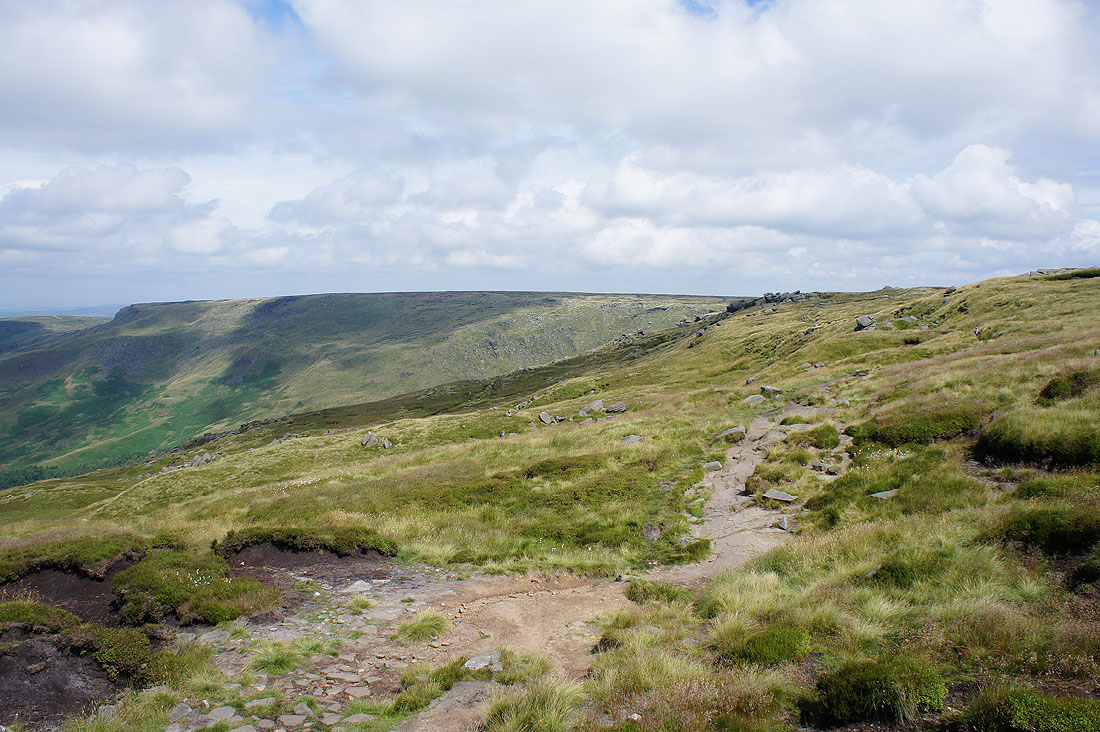
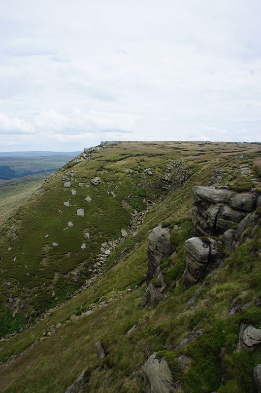
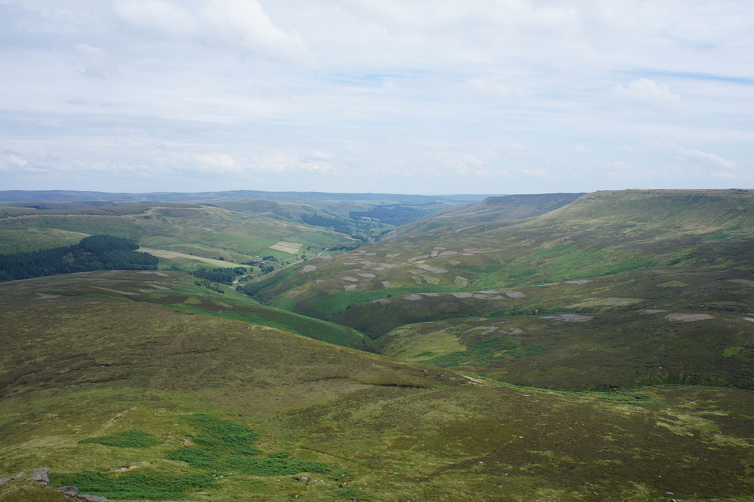
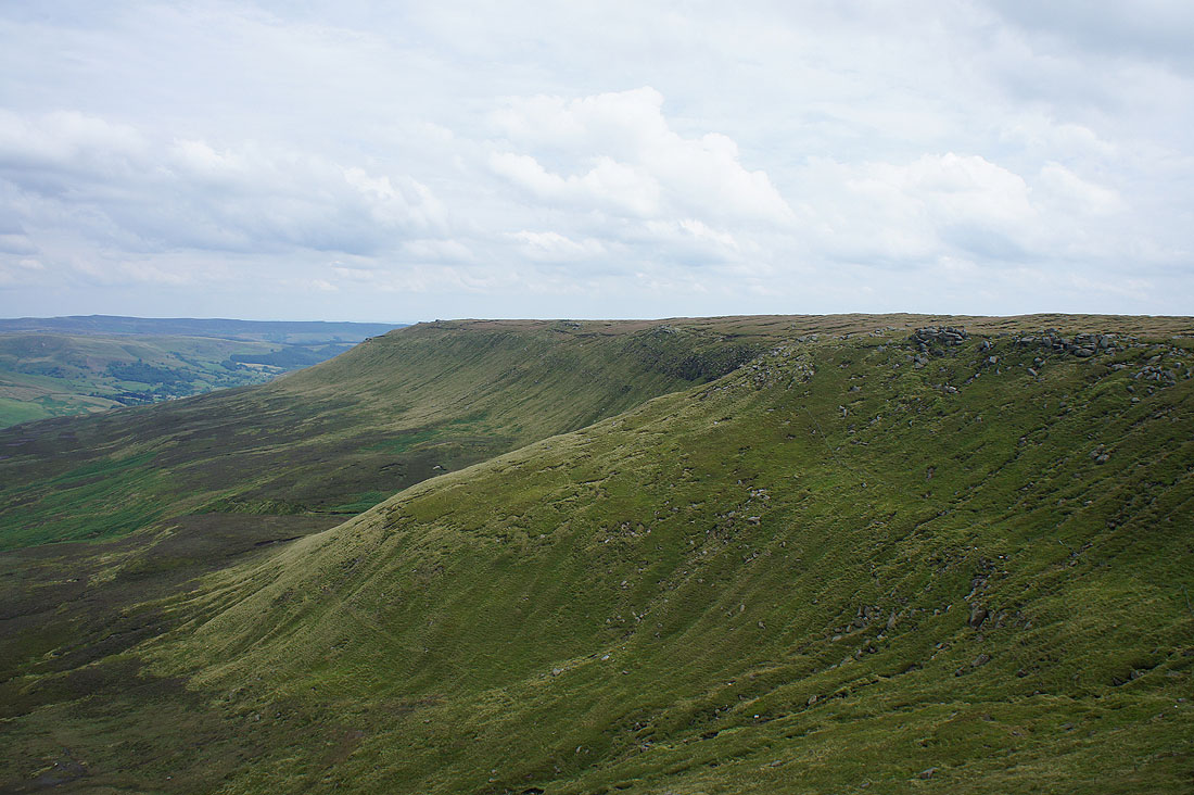
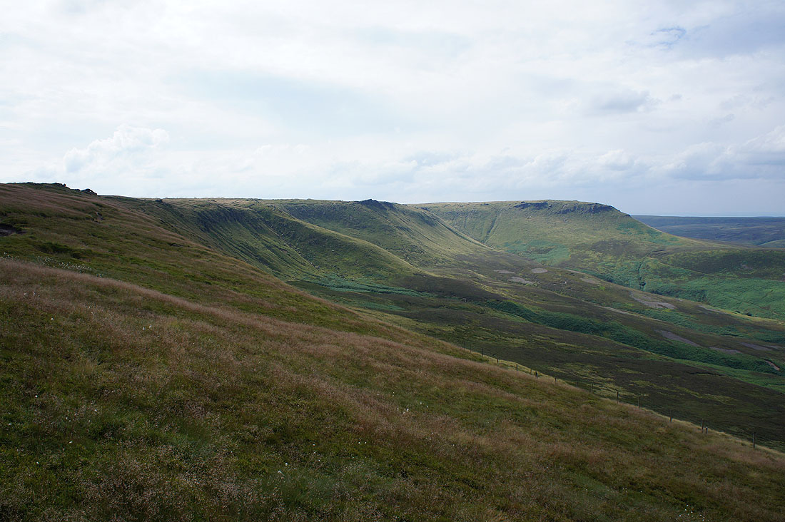
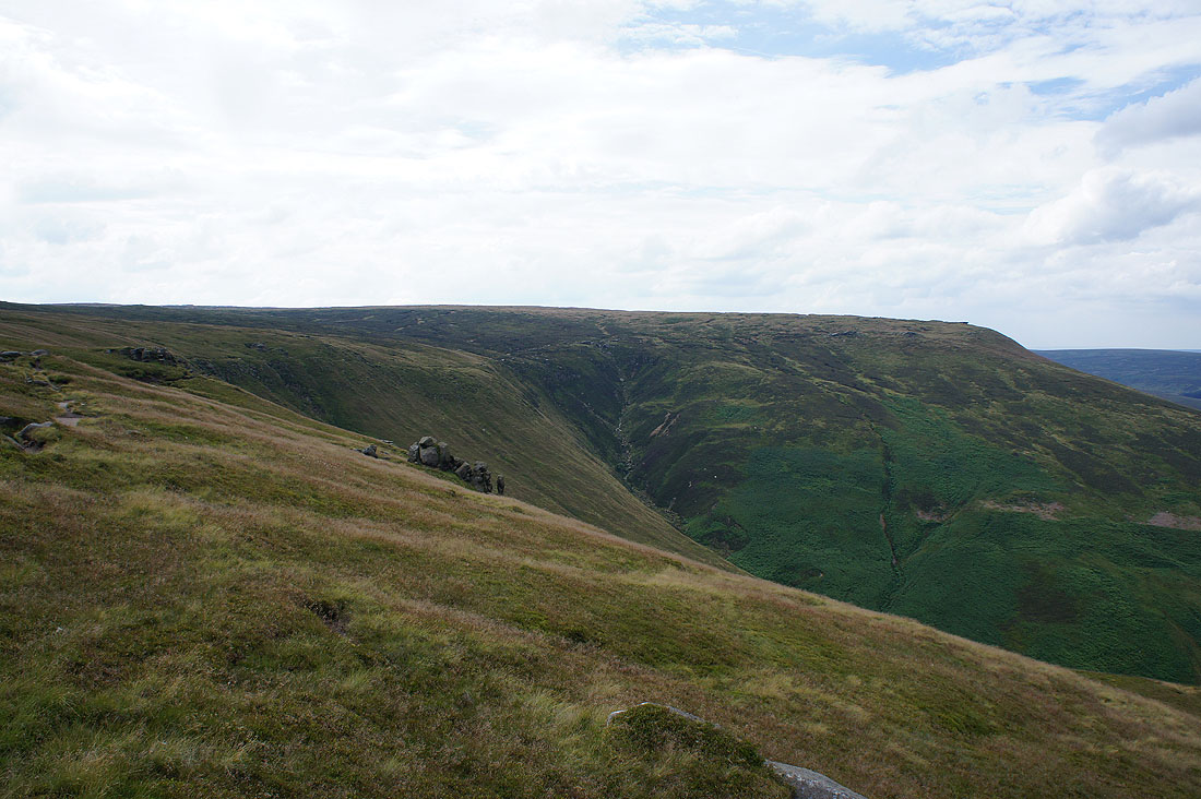
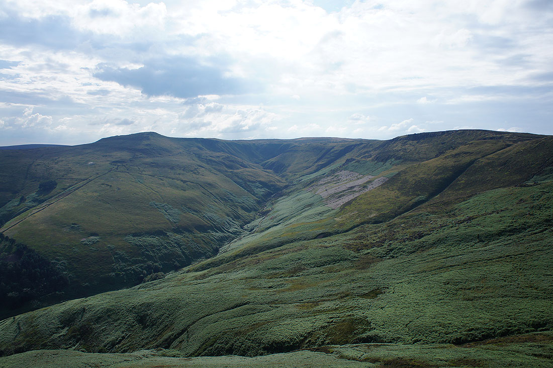
Now heading east along the top of The Edge with Ashop Clough below
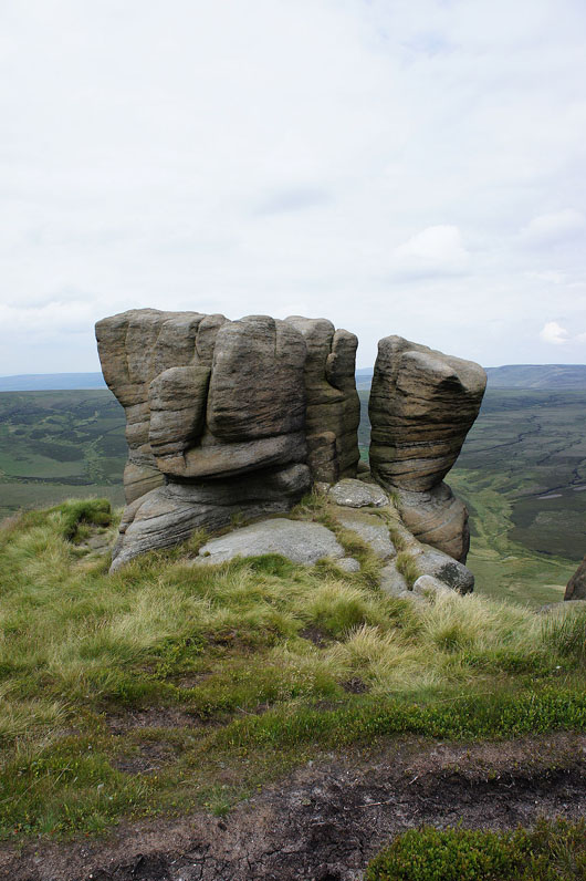
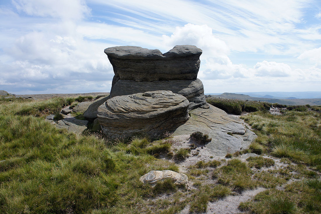
The Boxing Glove Stones
The moors at the western end of Longdendale beyond the ridge that carries the Pennine Way to the Snake Pass
|
|
Approaching Nether Red Brook and crossing it
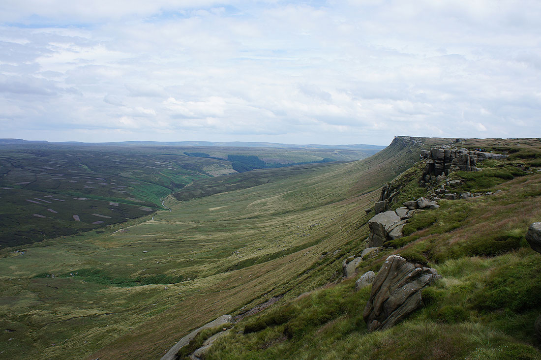
Looking back along The Edge just before I reach Fairbrook Naze
This gritstone tor on Fairbrook Naze reminds me a little of the Salt Cellar that is on Derwent Edge
and the view from it. The broad expanse of Bleaklow to the north.
Looking east down the Woodlands Valley to Back Tor and Derwent Edge
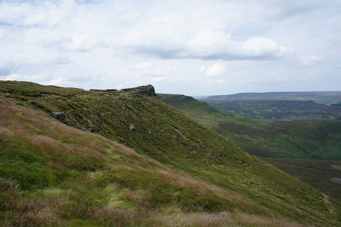
and finally Seal Edge, which is the next part of my walk. The prominent crag on the right is the Chinese Wall.
Crossing Fair Brook
|
Fairbrook Naze from the Chinese Wall
|
and the rest of Seal Edge from the Chinese Wall
Looking back to the Chinese Wall..
..as I make my way along Seal Edge..
..to arrive at the Seal Stones. Looking back along Seal Edge to Fairbrook Naze.
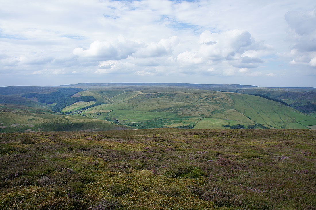
The Snake Plantations, Oyster Clough and Bleaklow
Margery Hill, Back Tor & Derwent Edge in the distance
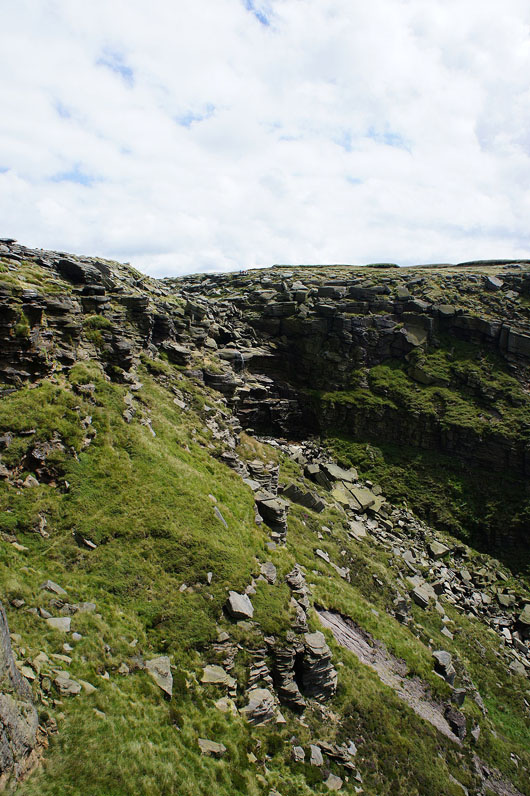
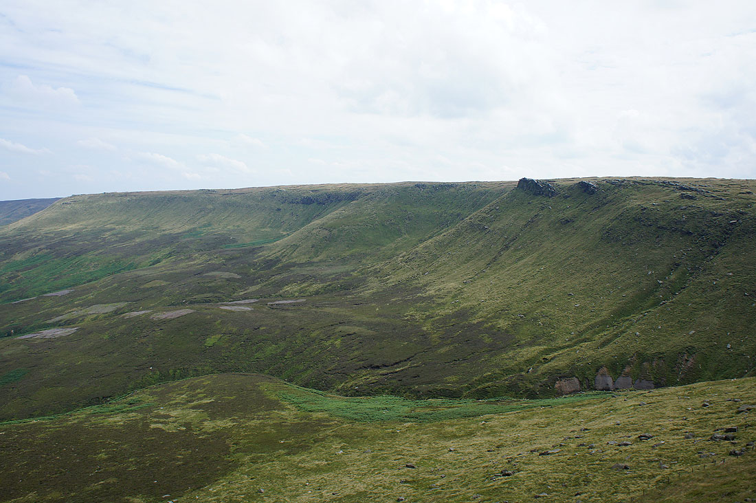
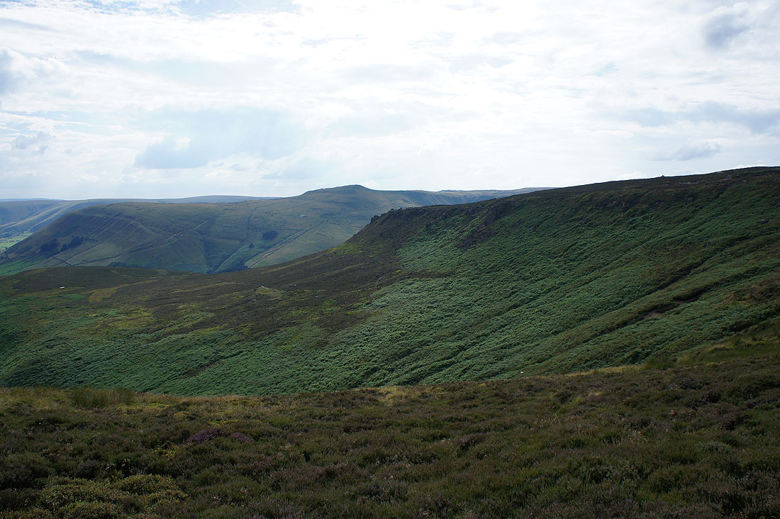
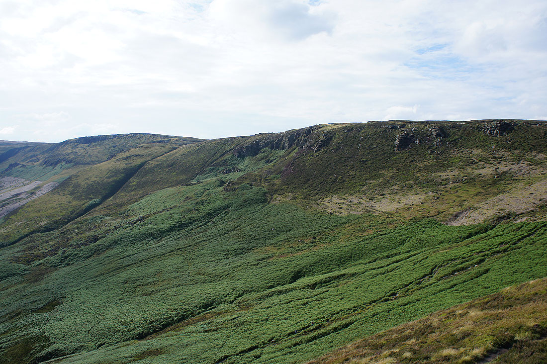
Blackden Edge, the final part of Kinder Scout's northern edges

Crossing the top of Blackden Brook
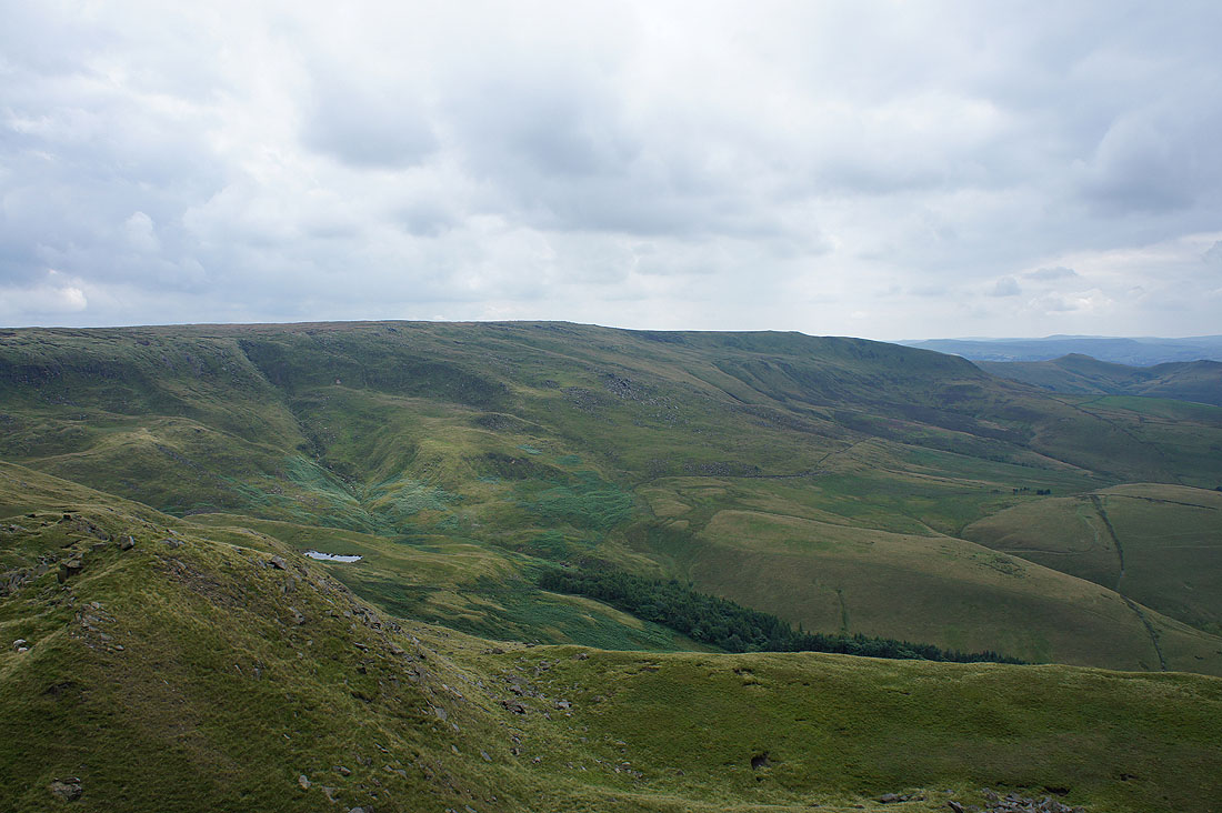
Blackden Moor from Blackden Edge
Alport Moor on the other side of the Woodlands Valley rises to Bleaklow
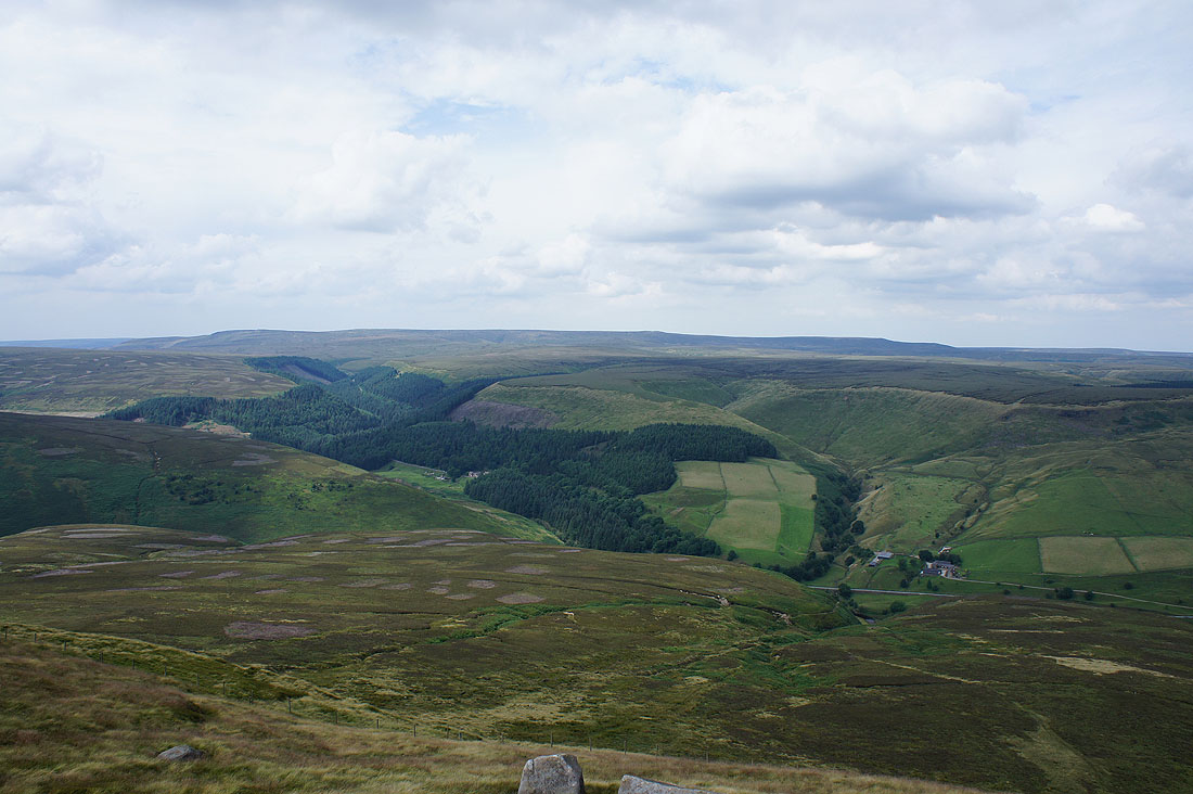
and from here I can look up Alport Dale to the landslip of Alport Castles
A last chance for a view across to Back Tor and Derwent Edge as I reach the eastern end of Kinder Scout on Crookstone Out Moor and cross the top of Jaggers Clough
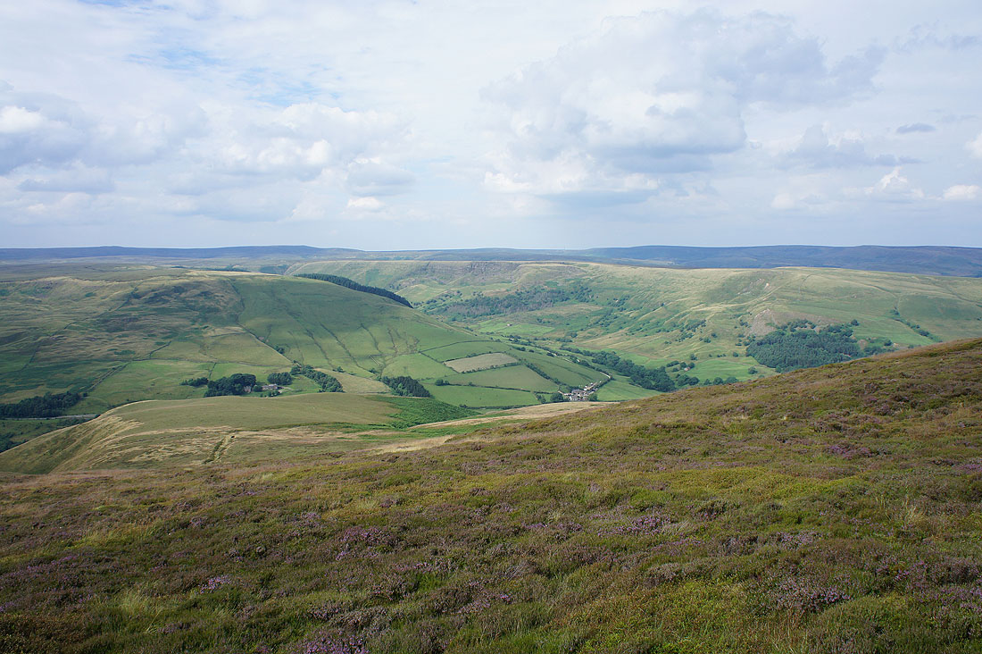
Win Hill and Lose Hill
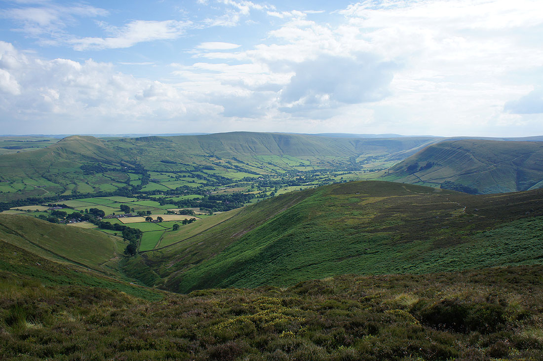
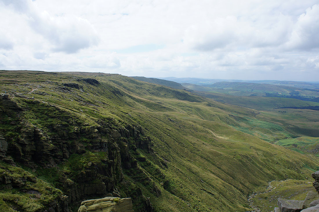
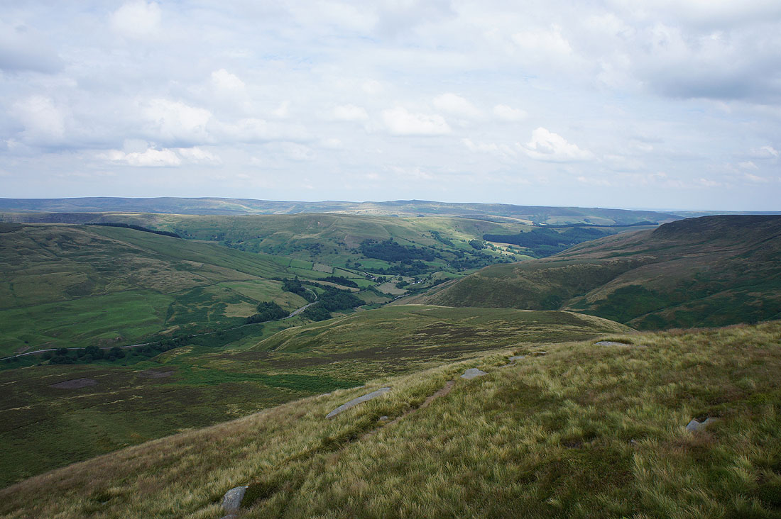
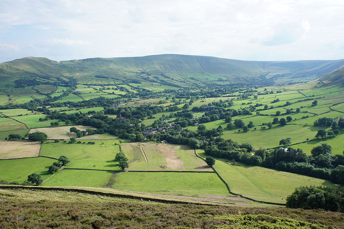
and now I have a great view of the Vale of Edale
The rocks of Ringing Roger in sight. Not far to go now.
Lose Hill, Back Tor and Barker Bank from Ringing Roger
Grindslow Knoll and Grindsbrook Clough
Upper Tor and Nether Tor
|
|
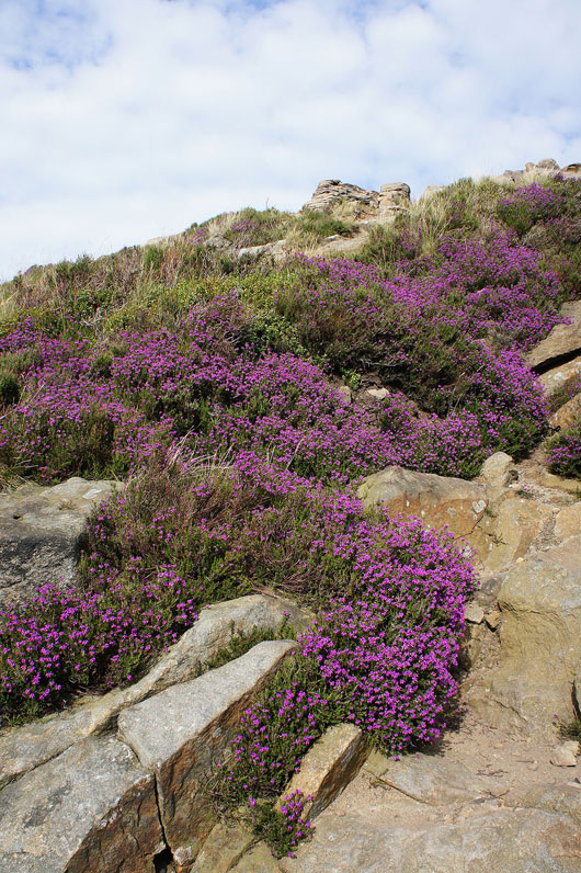
Heather in bloom as I leave Ringing Roger..
..and head back down to Edale