23rd July 2017 - Boulsworth Hill
Walk Details
Distance walked: 7.6 miles
Total ascent: 1453 ft
OS map used: OL21 - South Pennines
Time taken: 3 hrs
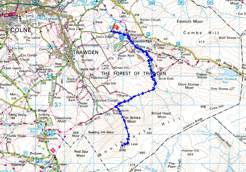
Route description: Wycoller-Bronte Way-Dean House Farm-Turnhole Clough-Bronte Way-Boulsworth Hill-Bronte Way-Turnhole Clough-Dean House Farm-Bronte Way-Wycoller
A spur of the moment decision to do a walk this morning. It looked so nice outside that I couldn't resist driving to Wycoller and doing a quick there and back to the top of Boulsworth Hill before the showers that were forecast for the afternoon arrived. They were a little early though and the first one arrived on the way back to Wycoller. My view from the summit wasn't spoilt and with great visibility it went on for miles.
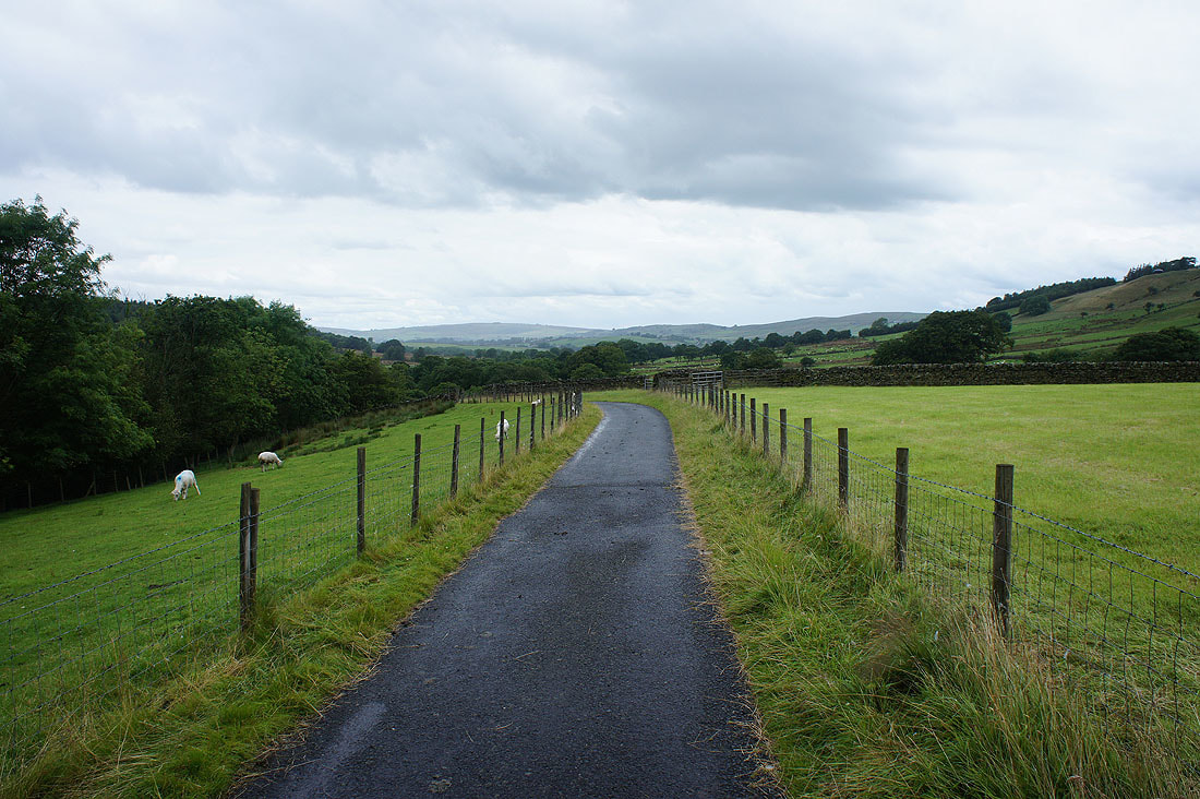
From the car park above Wycoller I walked down into and through the hamlet and across the packhorse bridge. I then followed the trail of the Bronte Way by Wycoller Beck and up to Dean House Farm, where I left it for a path up Turnhole Clough to join the trail again at the top of the clough. The trail was then followed west to pick up the path to the summit of Boulsworth Hill. I returned to Wycoller by the same route.
Total ascent: 1453 ft
OS map used: OL21 - South Pennines
Time taken: 3 hrs
Route description: Wycoller-Bronte Way-Dean House Farm-Turnhole Clough-Bronte Way-Boulsworth Hill-Bronte Way-Turnhole Clough-Dean House Farm-Bronte Way-Wycoller
A spur of the moment decision to do a walk this morning. It looked so nice outside that I couldn't resist driving to Wycoller and doing a quick there and back to the top of Boulsworth Hill before the showers that were forecast for the afternoon arrived. They were a little early though and the first one arrived on the way back to Wycoller. My view from the summit wasn't spoilt and with great visibility it went on for miles.
From the car park above Wycoller I walked down into and through the hamlet and across the packhorse bridge. I then followed the trail of the Bronte Way by Wycoller Beck and up to Dean House Farm, where I left it for a path up Turnhole Clough to join the trail again at the top of the clough. The trail was then followed west to pick up the path to the summit of Boulsworth Hill. I returned to Wycoller by the same route.
Route map
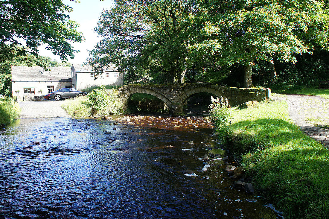
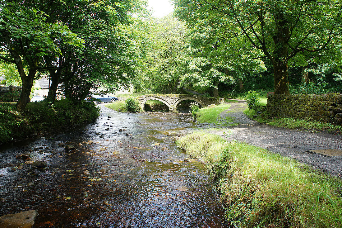
The packhorse bridge over Wycoller Beck
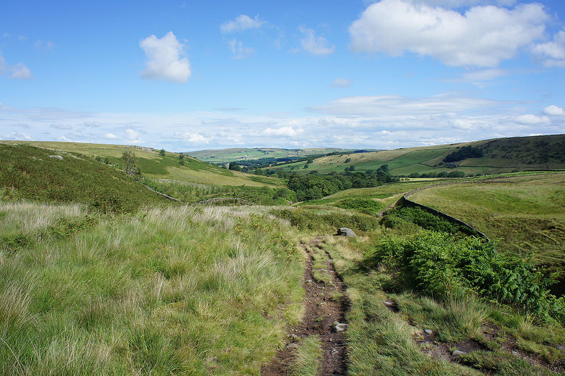
Looking back down Turnhole Clough
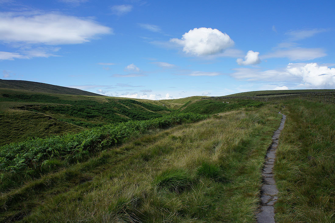
On the Bronte Way beneath Boulsworth Hill
and if I look over the wall to my right, Pendle Hill
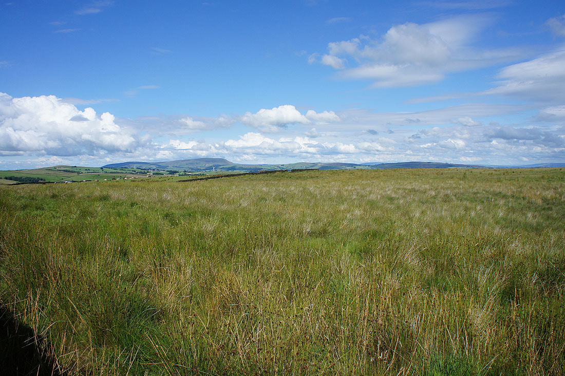
The view soon starts to open out as I head up Boulsworth Hill
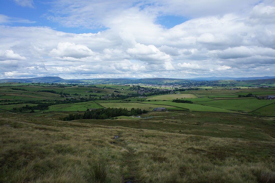
Pendle Hill on the left, then the fells of the Forest of Bowland, Ingleborough and Penyghent on the right, with the town of Colne below
I spy with my little eye, Pendle Hill
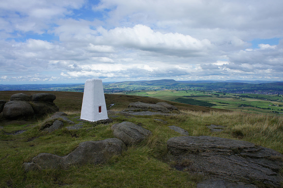
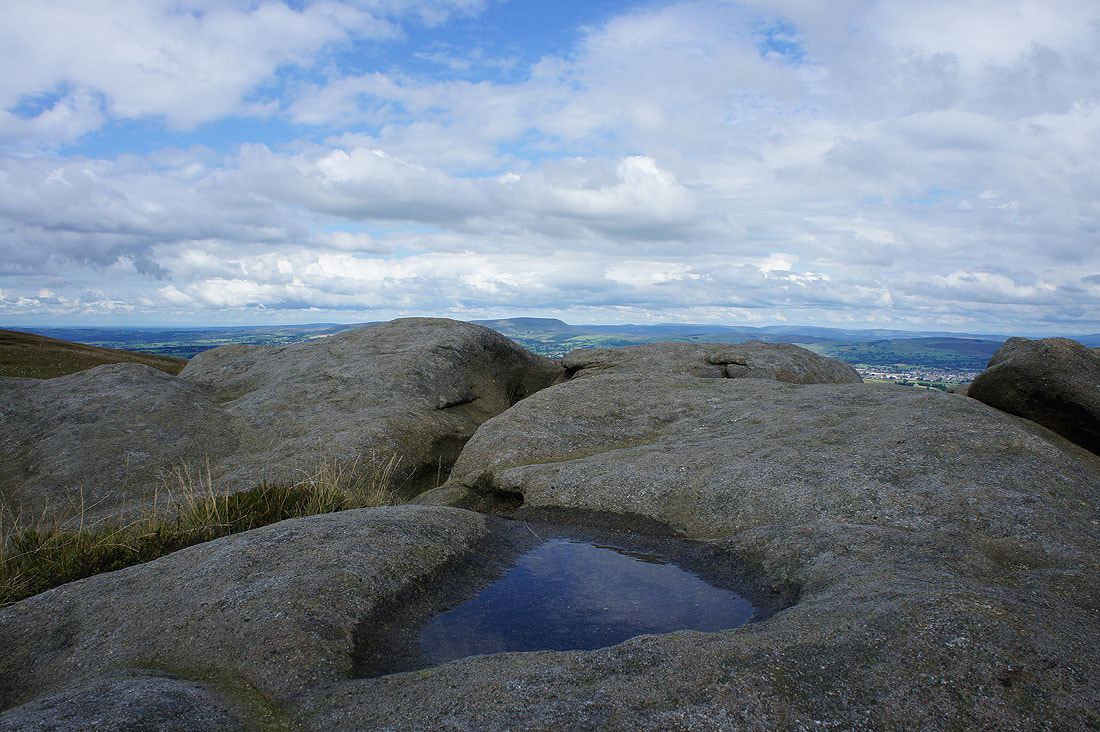
Pendle Hill from the summit of Boulsworth Hill
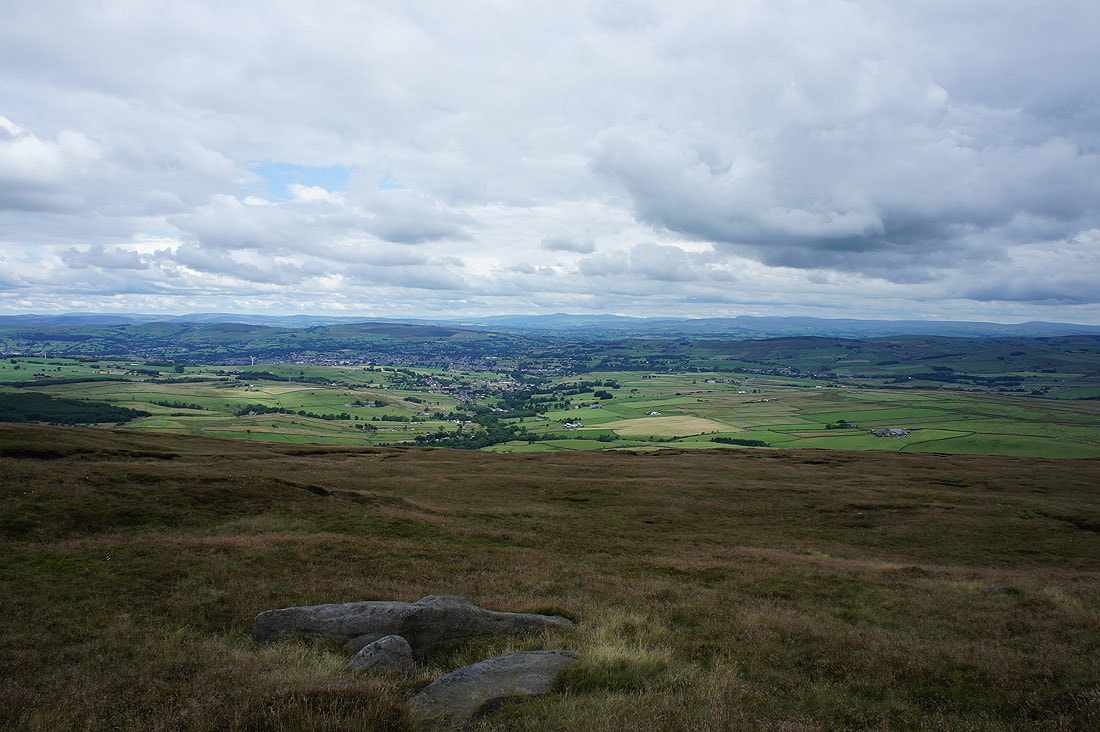
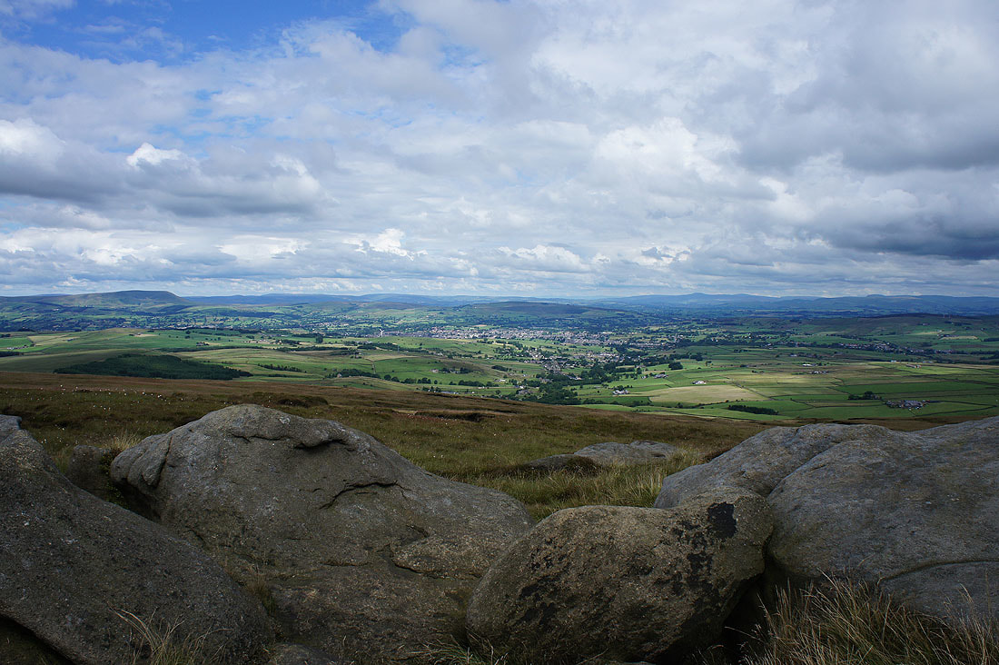
Colne and Trawden below with Ingleborough and Penyghent in the distance
Buckden Pike, Great Whernside and the hills around Wharfedale
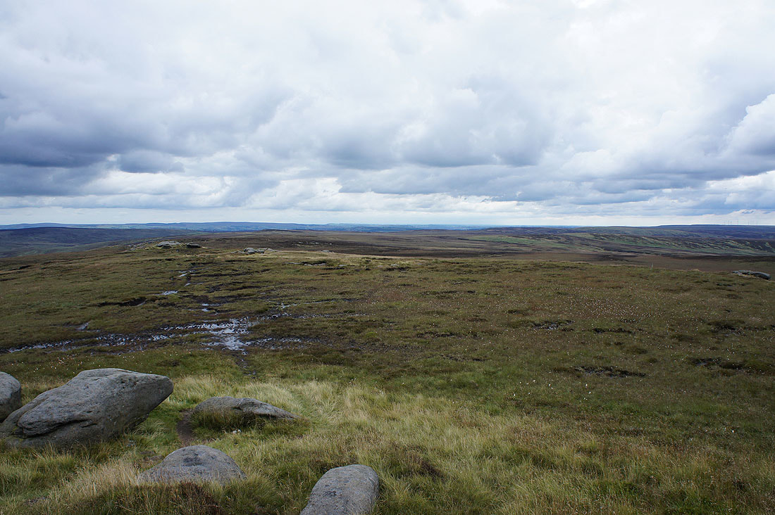
The Bronte moors to the east and southeast
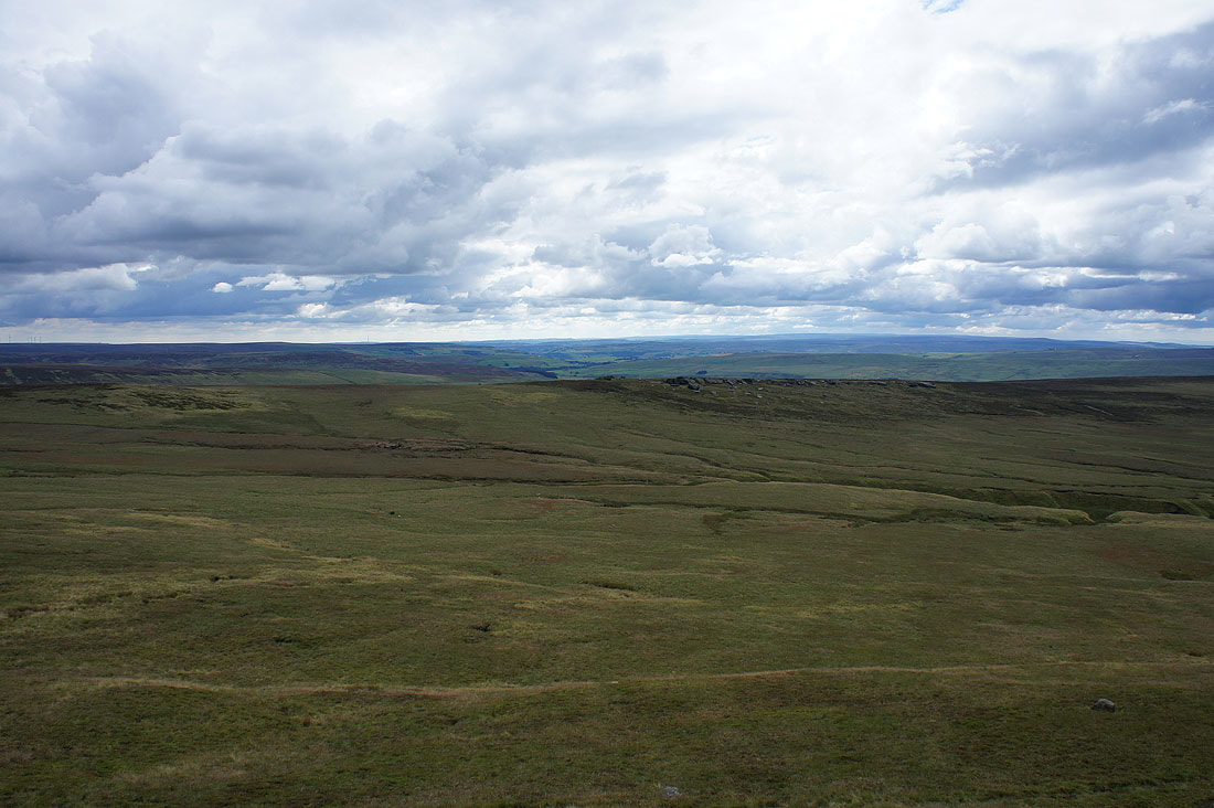
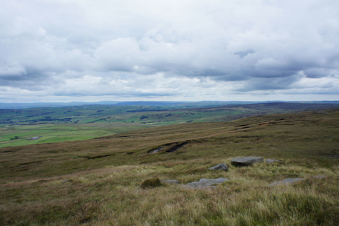
The moors around Calderdale to the south

Finally, looking towards the distant West Pennine Moors
Back down on the Pendle Way and the first shower is falling
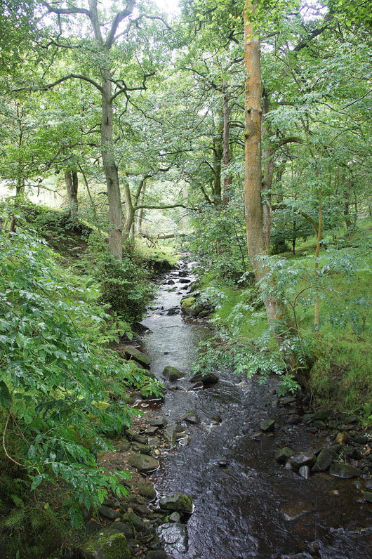
Crossing Turnhole Clough
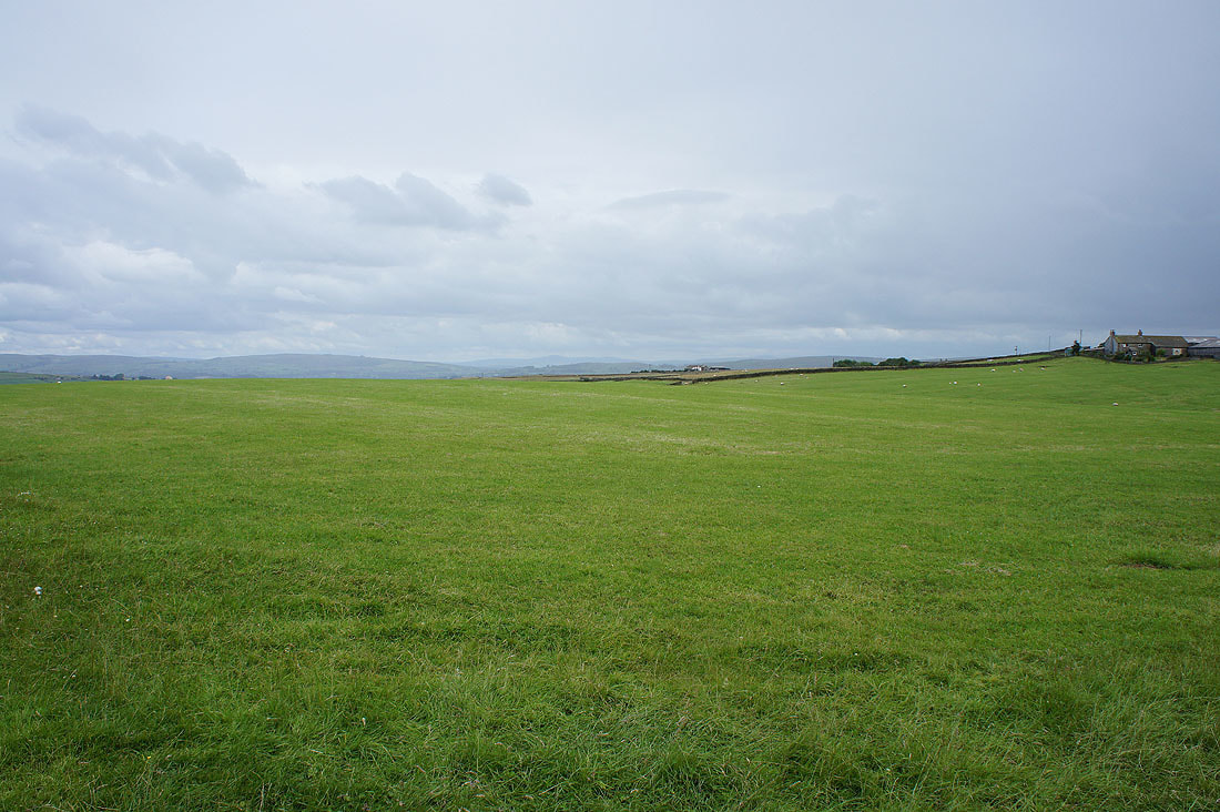
On the Bronte Way from Dean House Farm
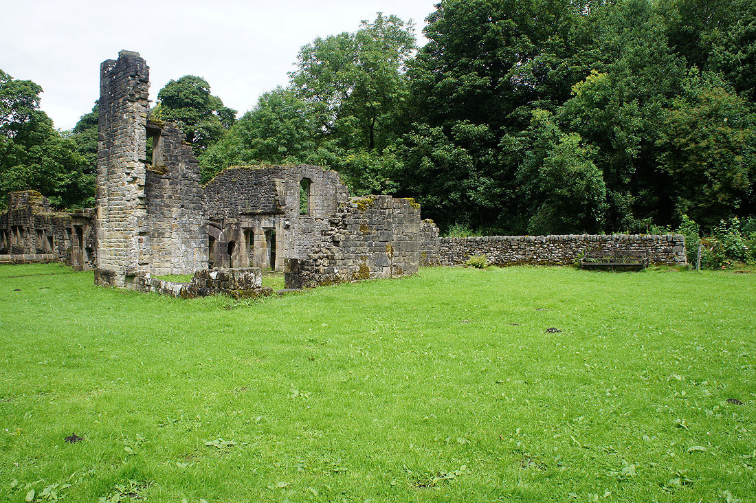
The ruins of Wycoller Hall
The sun is out as I arrive back in Wycoller