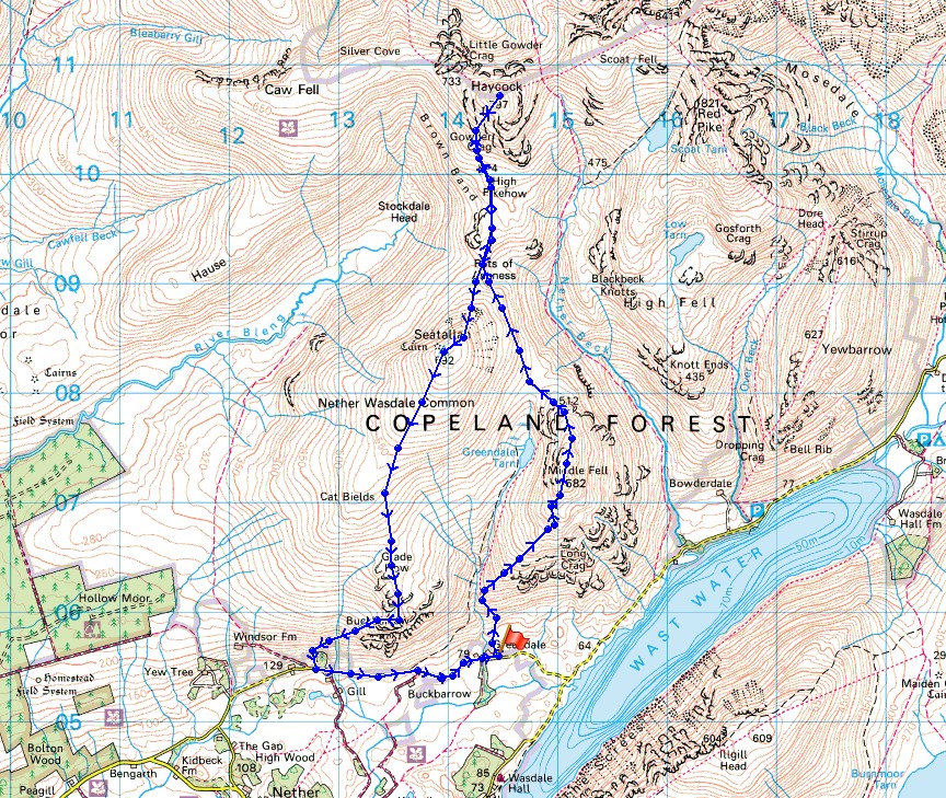
23rd June 2018 - Middle Fell, Haycock, Seatallan and Buckbarrow
Walk Details
Distance walked: 8.6 miles
Total ascent: 3528 ft
OS map used: OL6 - The English Lakes, Southwestern area
Time taken: 6.5 hrs
Route description: Greendale-Middle Fell-Pots of Ashness-Haycock-Pots of Ashness-Seatallan-Glade How-Buckbarrow-Harrow Head-Greendale
A change in the weather today from the usual hot and sunny. The skies were pretty grey when I looked outside this morning. Thick high cloud was making any sunshine very hazy, but from where I was in Nether Wasdale the tops of the fells looked free from cloud. It was only when I reached my first summit of Middle Fell that I could see that some of the high fells in the west had their tops in cloud, including Haycock. That cloud lifted as the morning wore on only to return later in the afternoon. The route that I did today took in some of the fells to the west of Wasdale, all of which would count towards my second round. It certainly wasn't as warm as yesterday and with a strong breeze I ended up having to wear a fleece for most of the time.
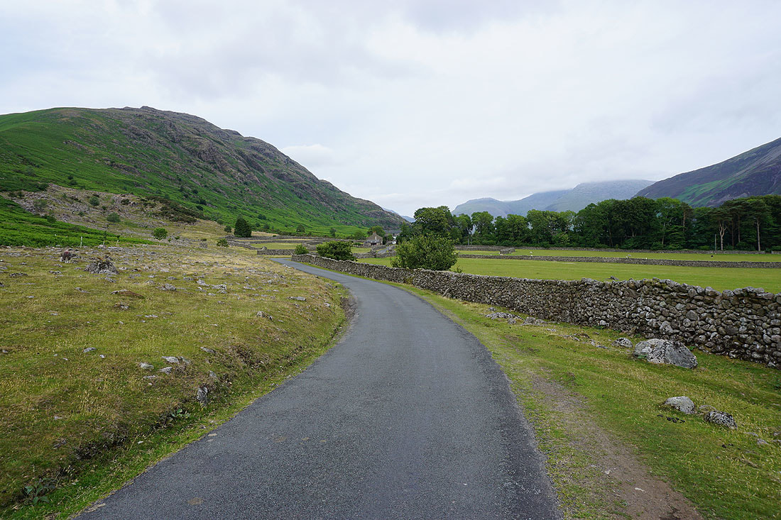
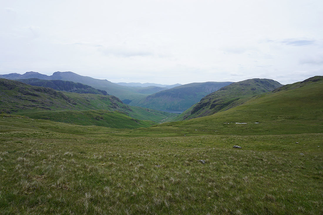
From where I parked on the grass verge at Greendale I took the path uphill by Greendale Gill before leaving it to climb to the summit of Middle Fell. After taking in the view from the summit of Middle Fell I continued north across the side of Seatallan at Winscale Hows and past the Pots Of Ashness to climb and reach the summit of Haycock (a grassy rake on its southwestern flank makes it easier). The summit wall here was a good place to have lunch out of the wind. I then retraced my steps from Haycock south to the Pots of Ashness before climbing to the trig point on the summit of Seatallan. A long grassy descent came next, down to Glade How, and then the final Wainwright of the day, Buckbarrow. The best views are from the tops of the crags. The path down from Buckbarrow heads west to cross Gill Beck and then south down to a patch of woodland next to the road. I was left with a walk along the road back to where I was parked at Greendale.
Total ascent: 3528 ft
OS map used: OL6 - The English Lakes, Southwestern area
Time taken: 6.5 hrs
Route description: Greendale-Middle Fell-Pots of Ashness-Haycock-Pots of Ashness-Seatallan-Glade How-Buckbarrow-Harrow Head-Greendale
A change in the weather today from the usual hot and sunny. The skies were pretty grey when I looked outside this morning. Thick high cloud was making any sunshine very hazy, but from where I was in Nether Wasdale the tops of the fells looked free from cloud. It was only when I reached my first summit of Middle Fell that I could see that some of the high fells in the west had their tops in cloud, including Haycock. That cloud lifted as the morning wore on only to return later in the afternoon. The route that I did today took in some of the fells to the west of Wasdale, all of which would count towards my second round. It certainly wasn't as warm as yesterday and with a strong breeze I ended up having to wear a fleece for most of the time.
From where I parked on the grass verge at Greendale I took the path uphill by Greendale Gill before leaving it to climb to the summit of Middle Fell. After taking in the view from the summit of Middle Fell I continued north across the side of Seatallan at Winscale Hows and past the Pots Of Ashness to climb and reach the summit of Haycock (a grassy rake on its southwestern flank makes it easier). The summit wall here was a good place to have lunch out of the wind. I then retraced my steps from Haycock south to the Pots of Ashness before climbing to the trig point on the summit of Seatallan. A long grassy descent came next, down to Glade How, and then the final Wainwright of the day, Buckbarrow. The best views are from the tops of the crags. The path down from Buckbarrow heads west to cross Gill Beck and then south down to a patch of woodland next to the road. I was left with a walk along the road back to where I was parked at Greendale.
Route map
© Crown copyright. All rights reserved. License number PU 100034184.
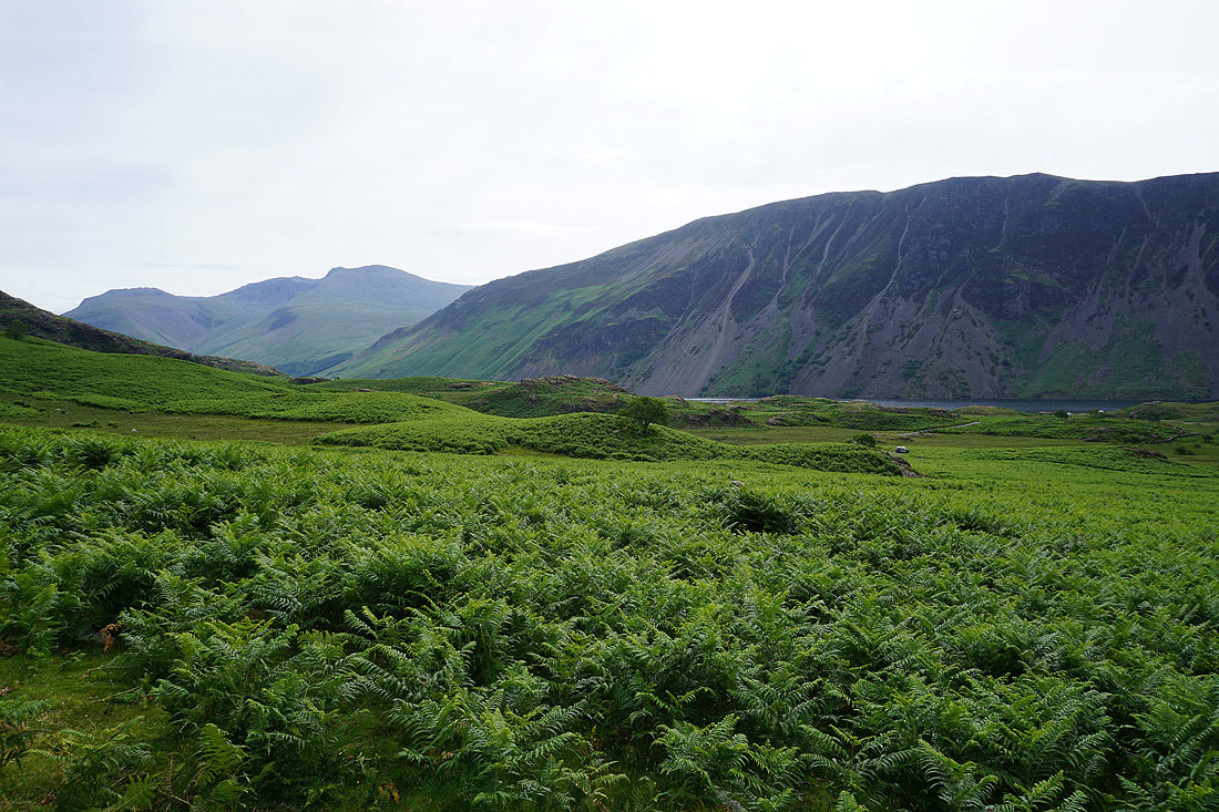
Lingmell, Scafell Pike, Scafell and Illgill Head from where I'm parked at Greendale
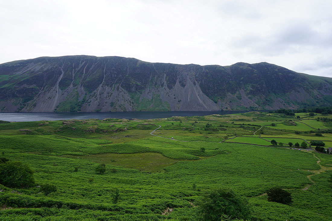
The Wastwater Screes from the climb up Middle Fell
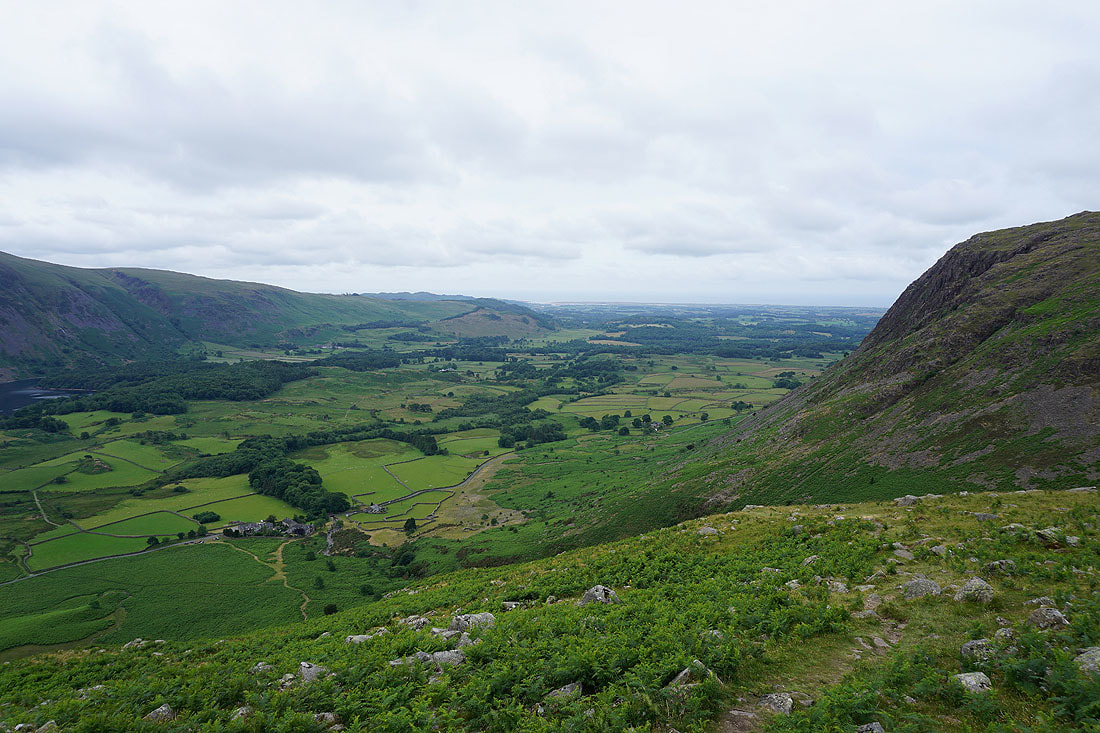
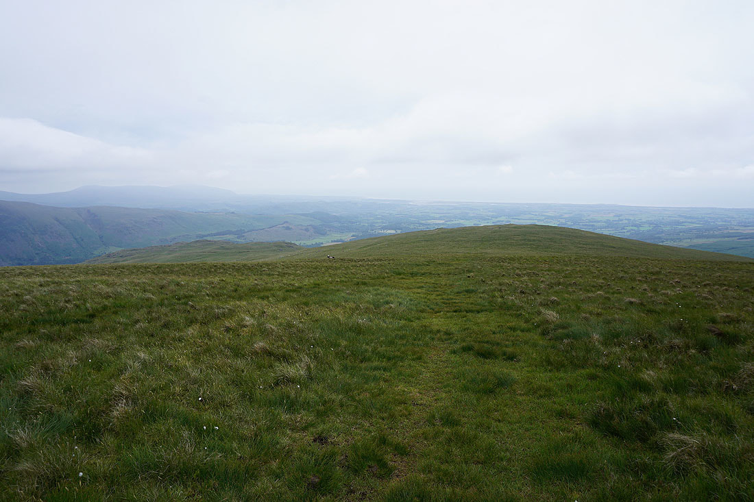
Higher up and I can look down Wasdale towards the coast
On the summit of Middle Fell. Kirk Fell, Great Gable, Yewbarrow, Scafell Pike and Scafell.
I'm a bit disappointed to see the tops of Haycock and Scoat Fell in cloud. Hopefully it will have cleared by the time I get there.
A much better view of the Scafell range and Wast Water if I get on the other side of the summit cairn
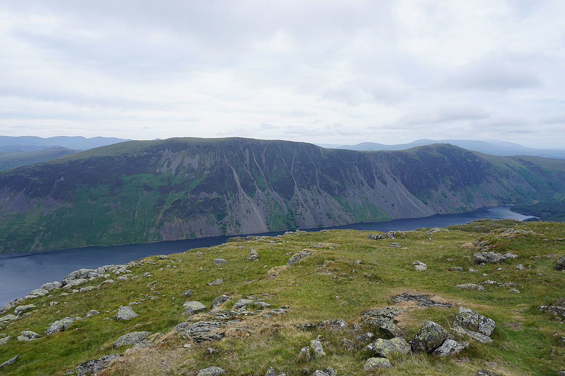
Illgill Head, Whin Rigg and the Wastwater Screes
Finally, looking down Wasdale to the Esk estuary and the coast
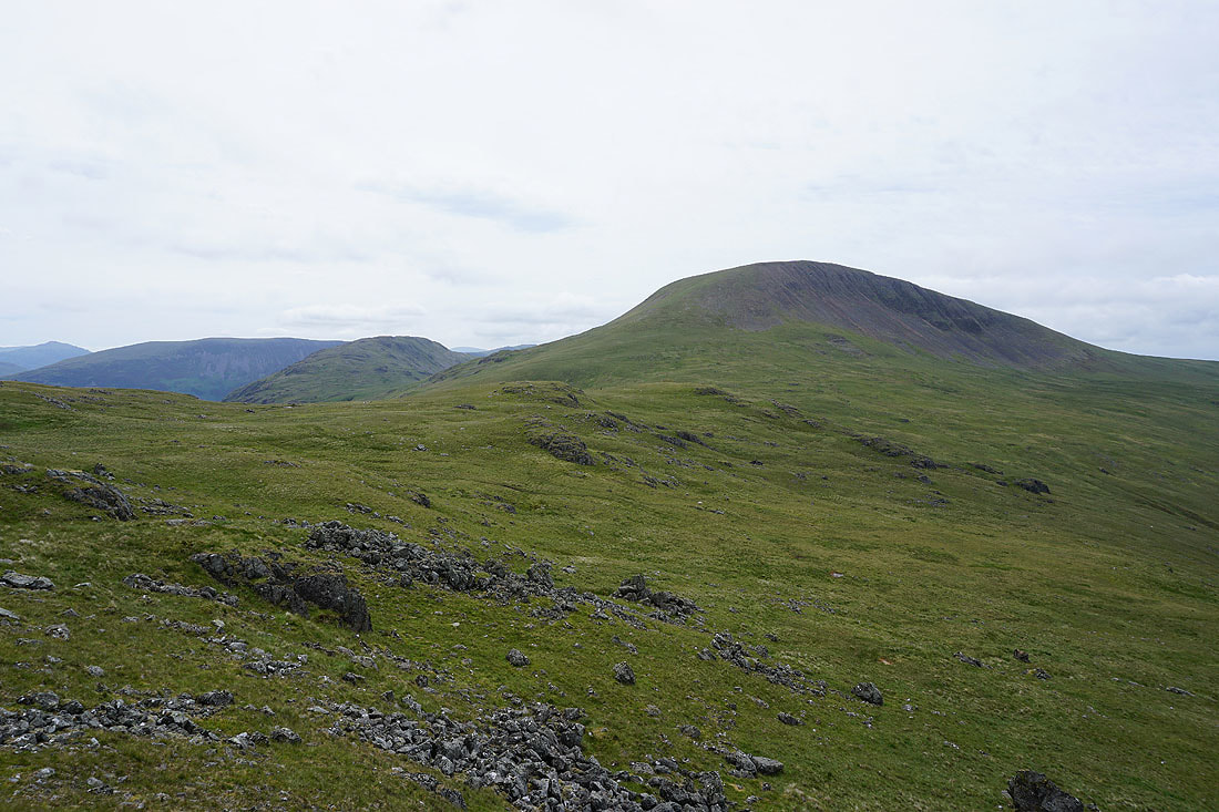
Leaving Middle Fell and the cloud has cleared from the top of Haycock
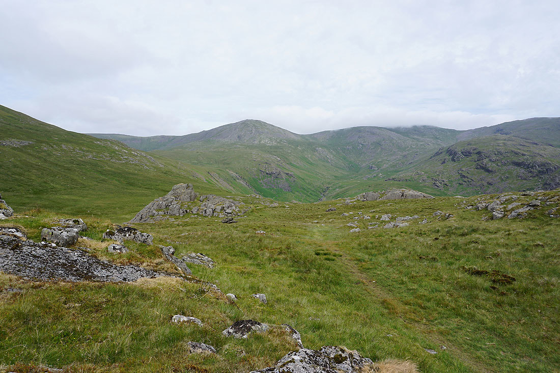
Looking down the valley of Nether Beck
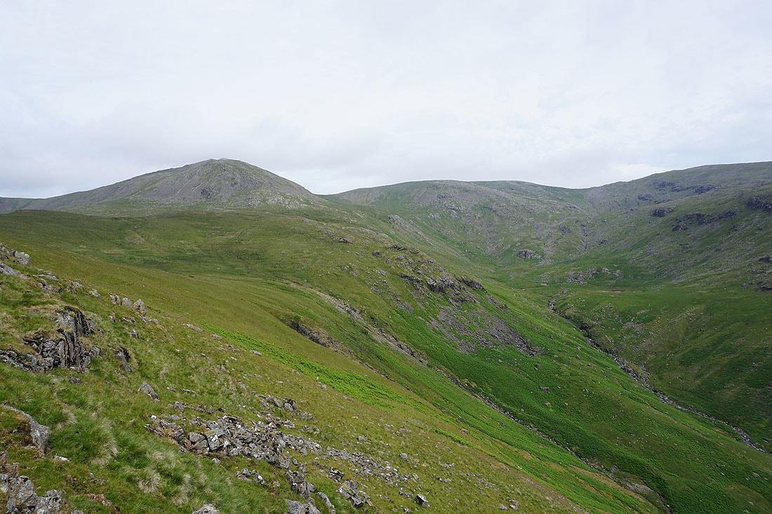
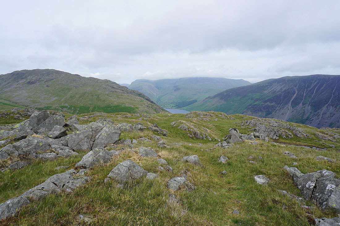
and up to Haycock and Scoat Fell
Scafell Pike and Scafell with the Coniston fells in the distance to their right from the Pots of Ashness
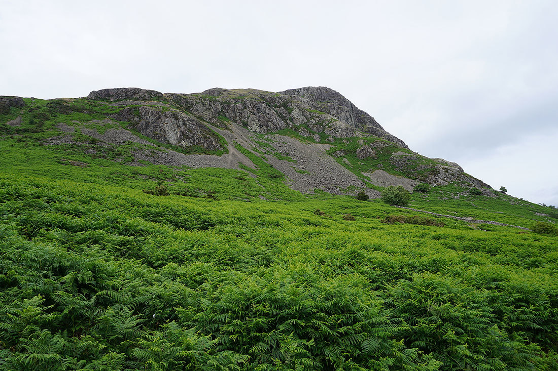
Approaching Haycock and the key to an easy ascent is the grassy rake on its western slope
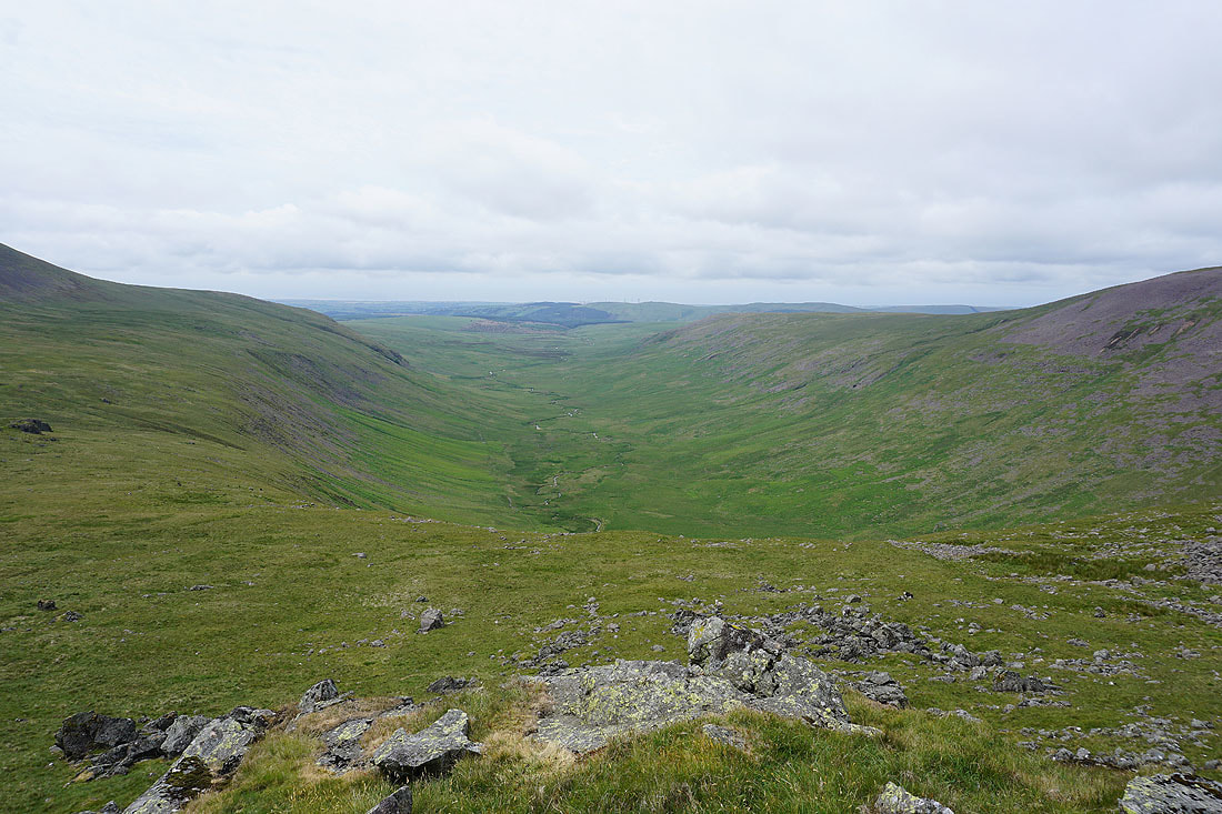
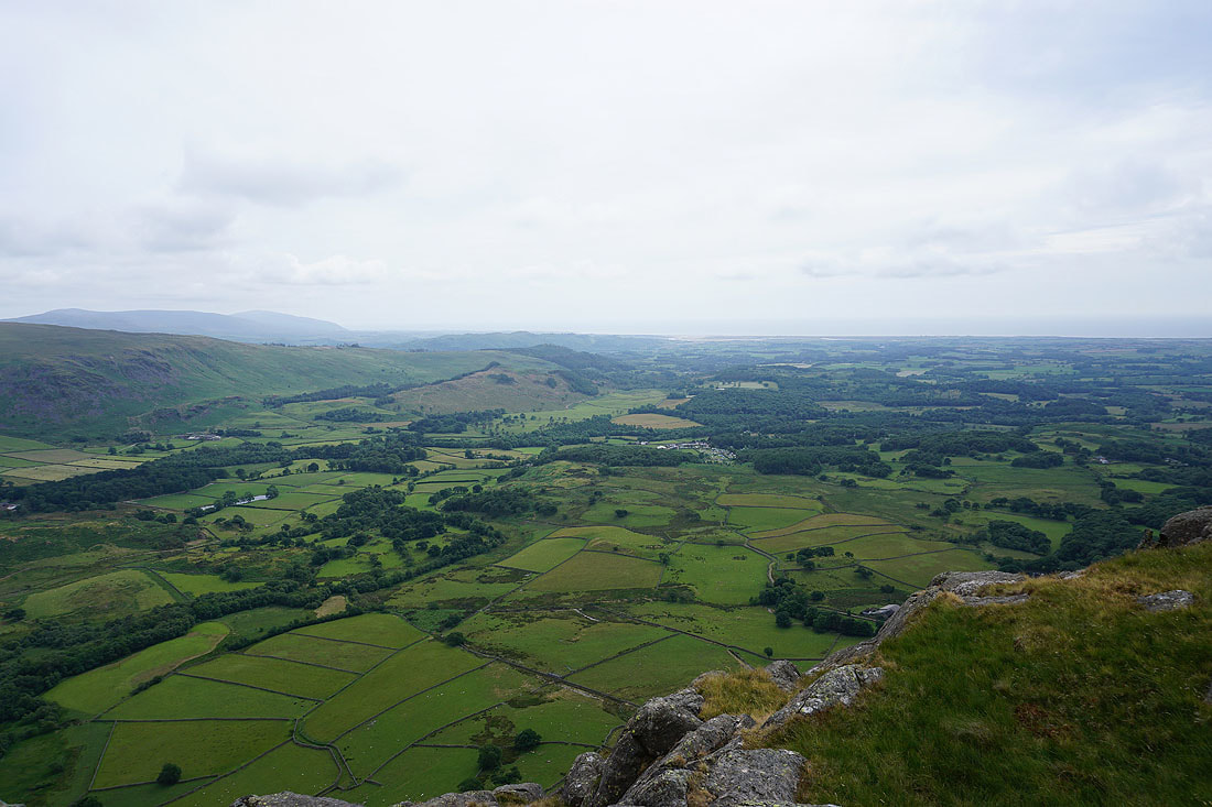
Looking down the valley of Blengdale
Middle Fell and Seatallan behind me
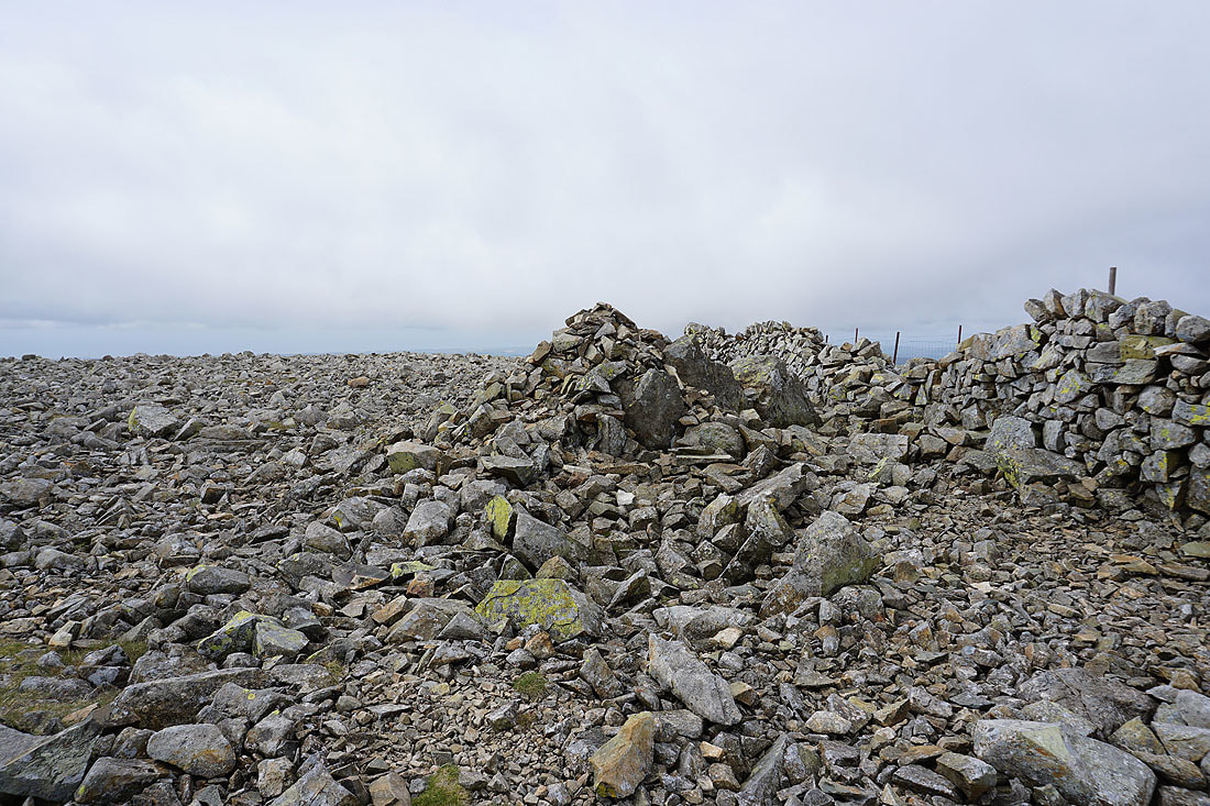
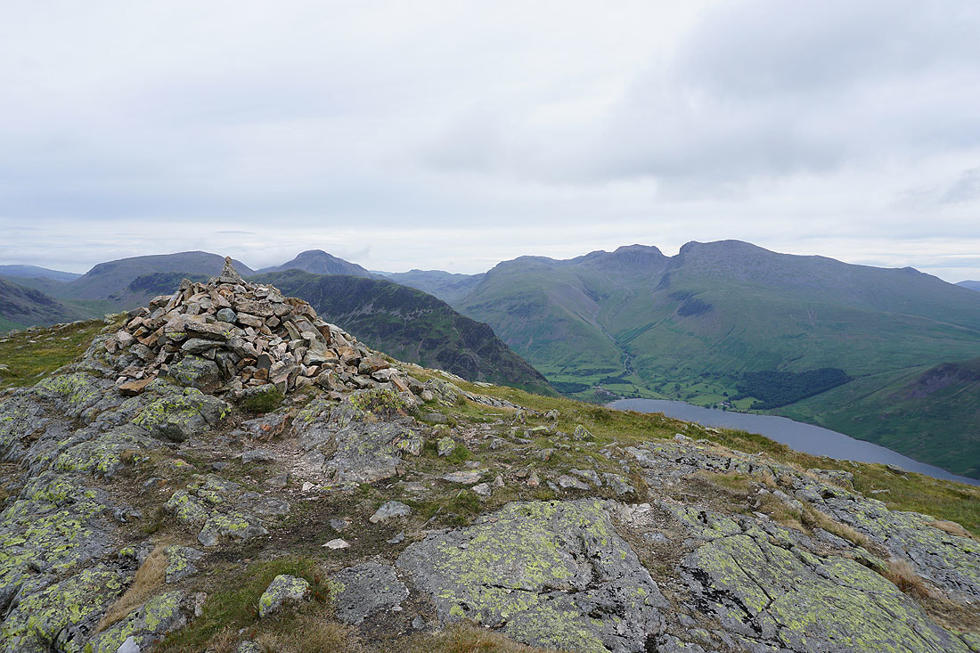
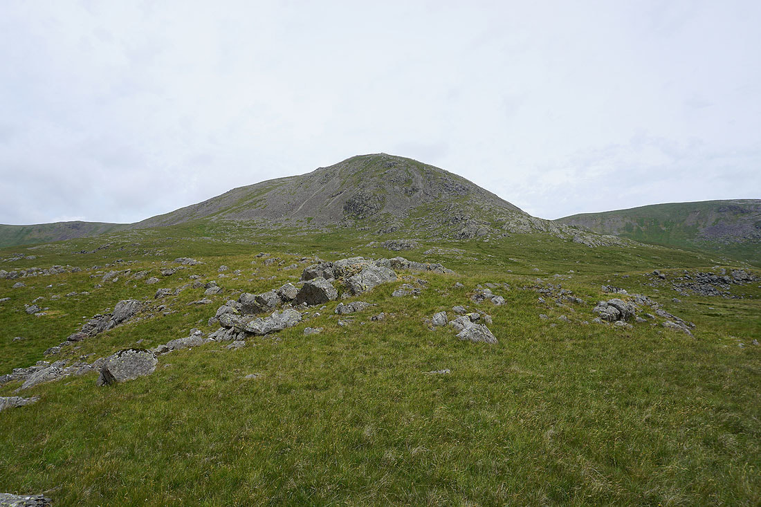
On the rocky summit of Haycock. I had my lunch in the shelter of the wall, so I'll take in the view before heading down the way I came up.
Looking west along the ridge to Caw Fell and Iron Crag
Ennerdale Water
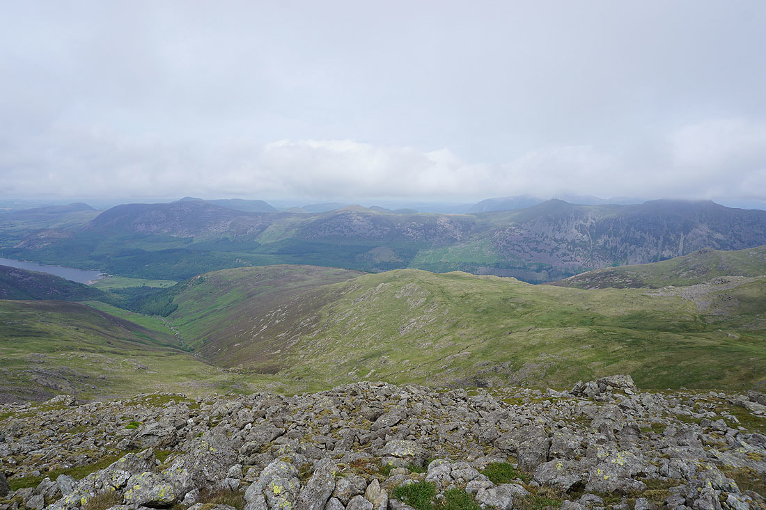
Looking across Ennerdale to Great Borne, Starling Dodd, Red Pike and High Stile
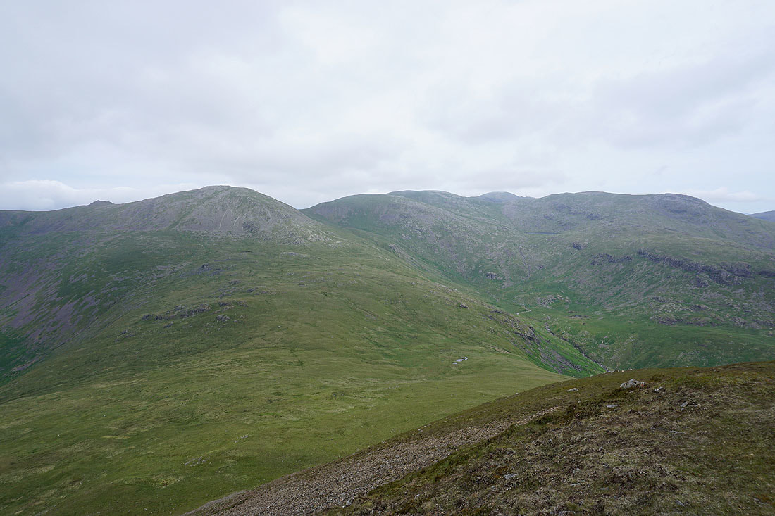
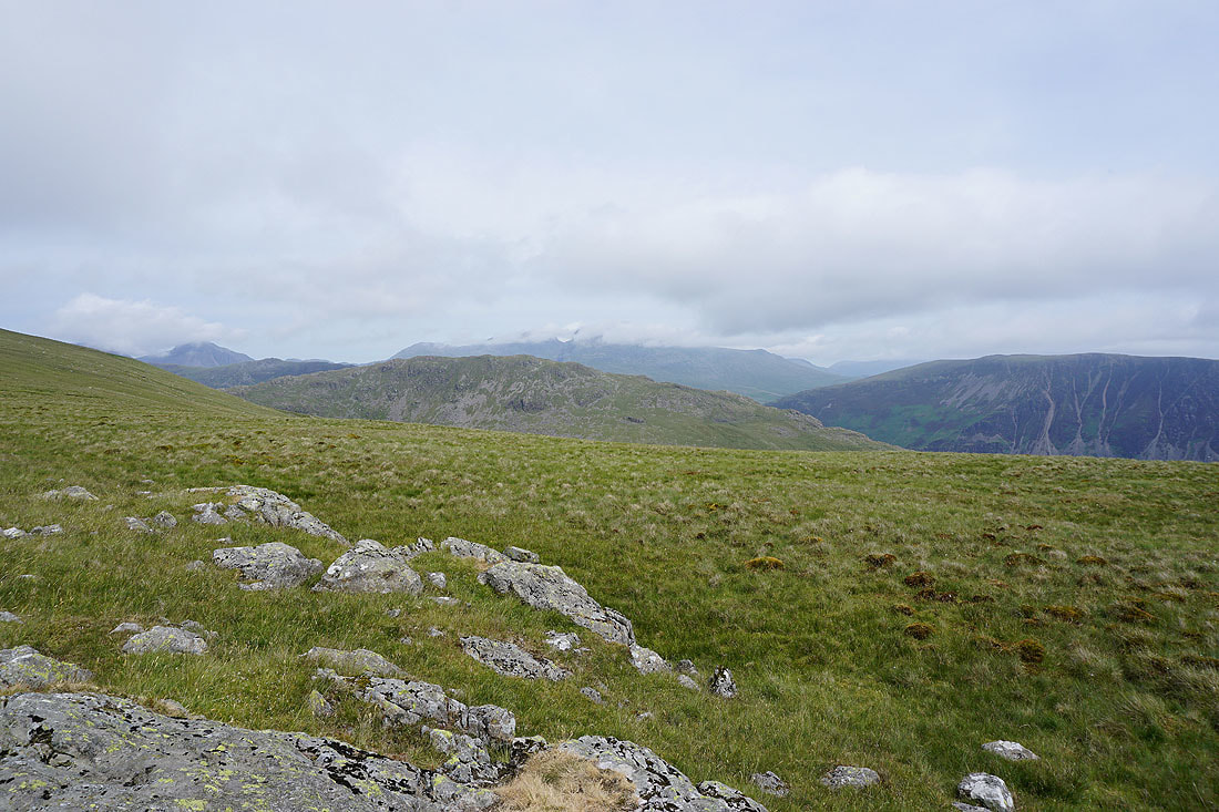
Steeple and Scoat Fell to the east
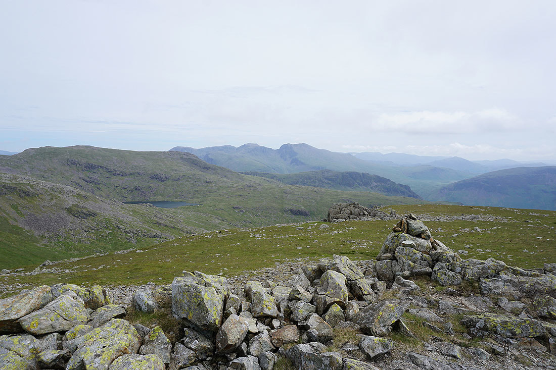
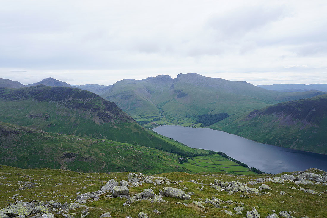
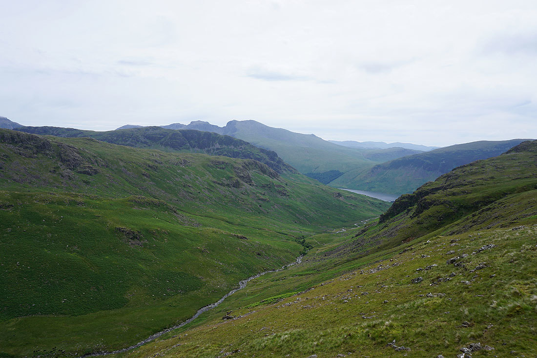
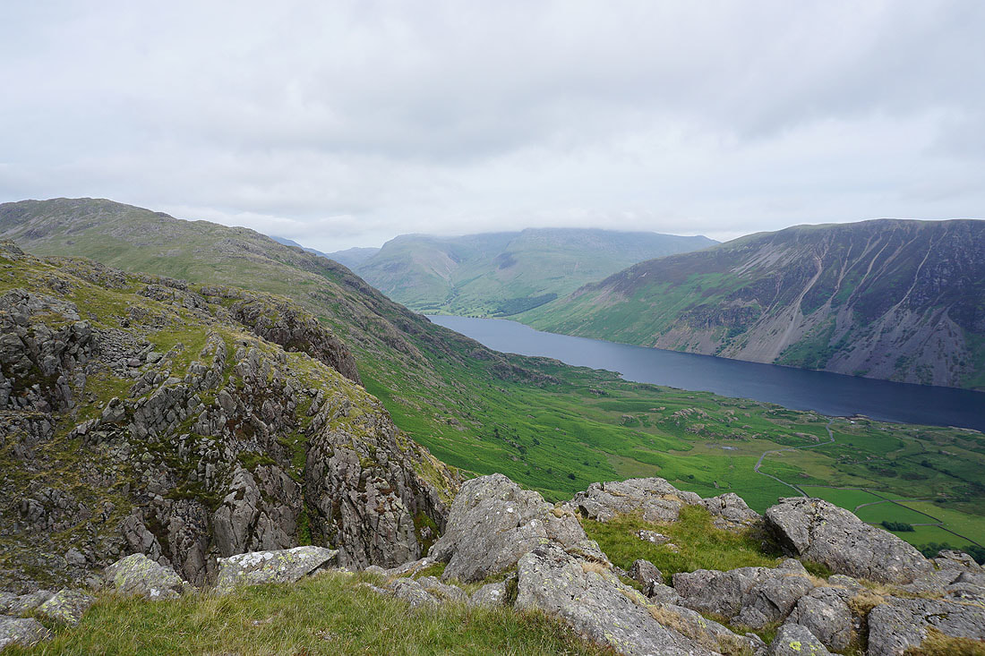
Red Pike, Scoat Tarn, the Scafell range and Yewbarrow
Finally, Seatallan and Blengdale
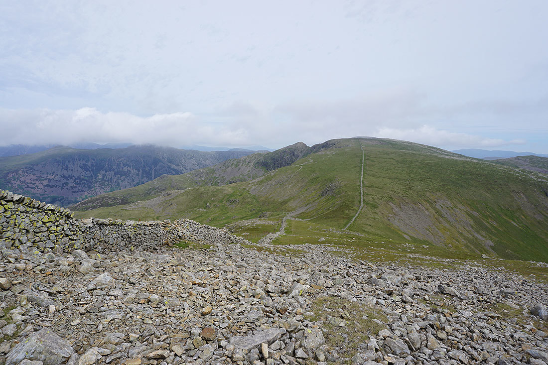
Looking back to Haycock, Scoat Fell and Red Pike as I ascend Seatallan
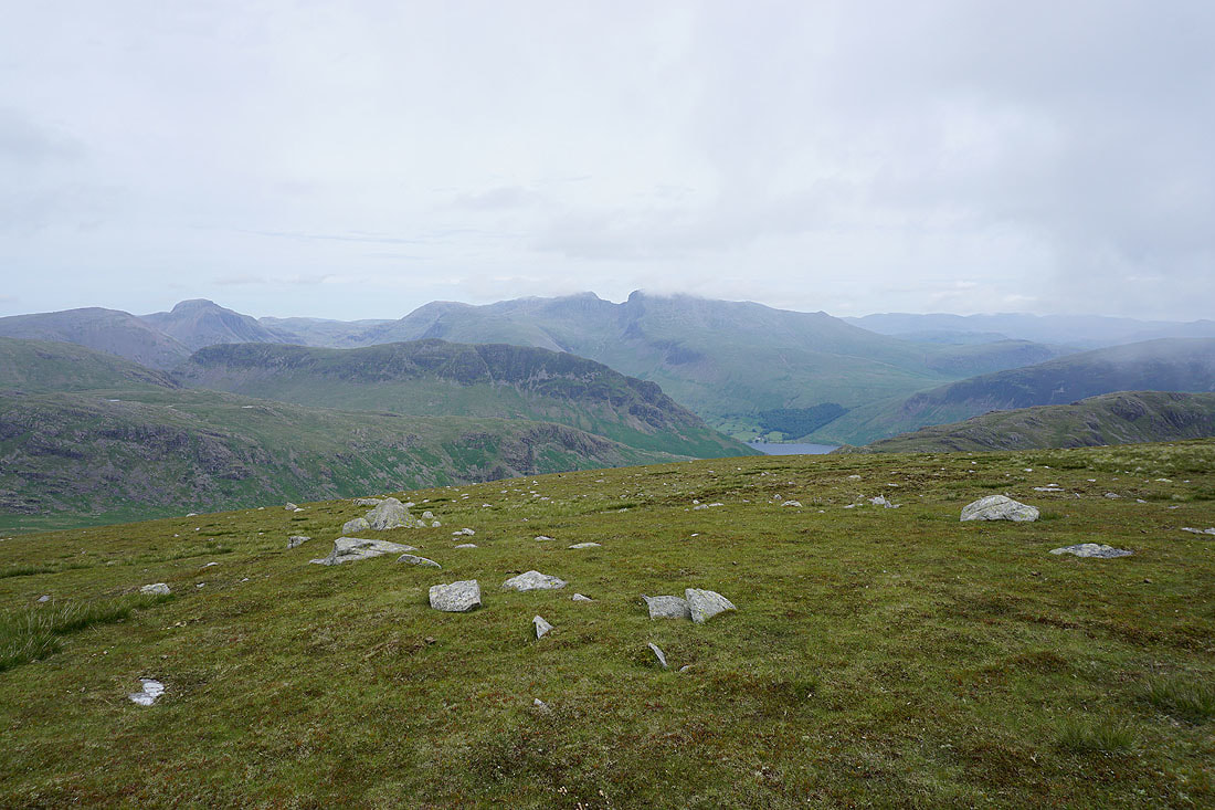
Great Gable, Yewbarrow and the Scafell range as I reach the top. Low cloud is forming and starting to obscure the view.
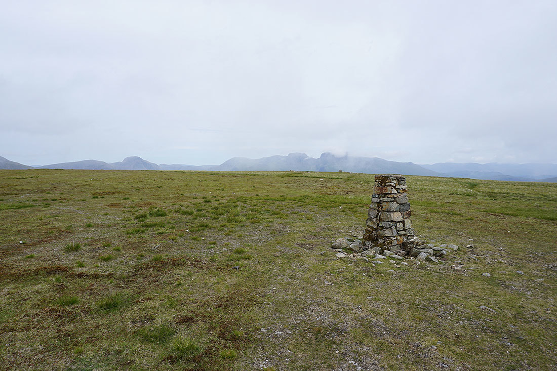
The trig point on the summit of Seatallan
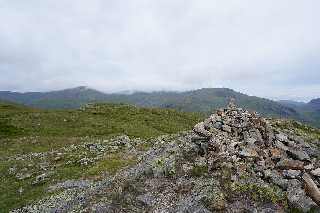
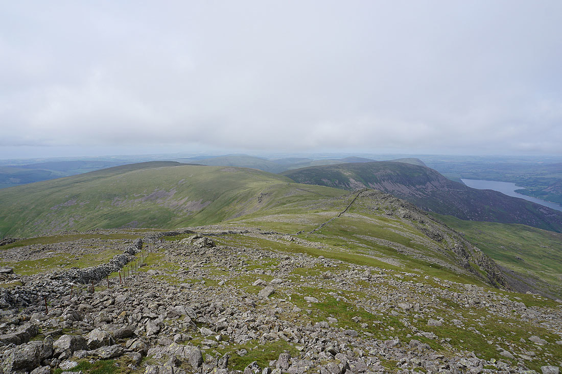
Heading south off Seatallan towards Glade How
The tops of Great Gable and the Scafell range disappearing under cloud
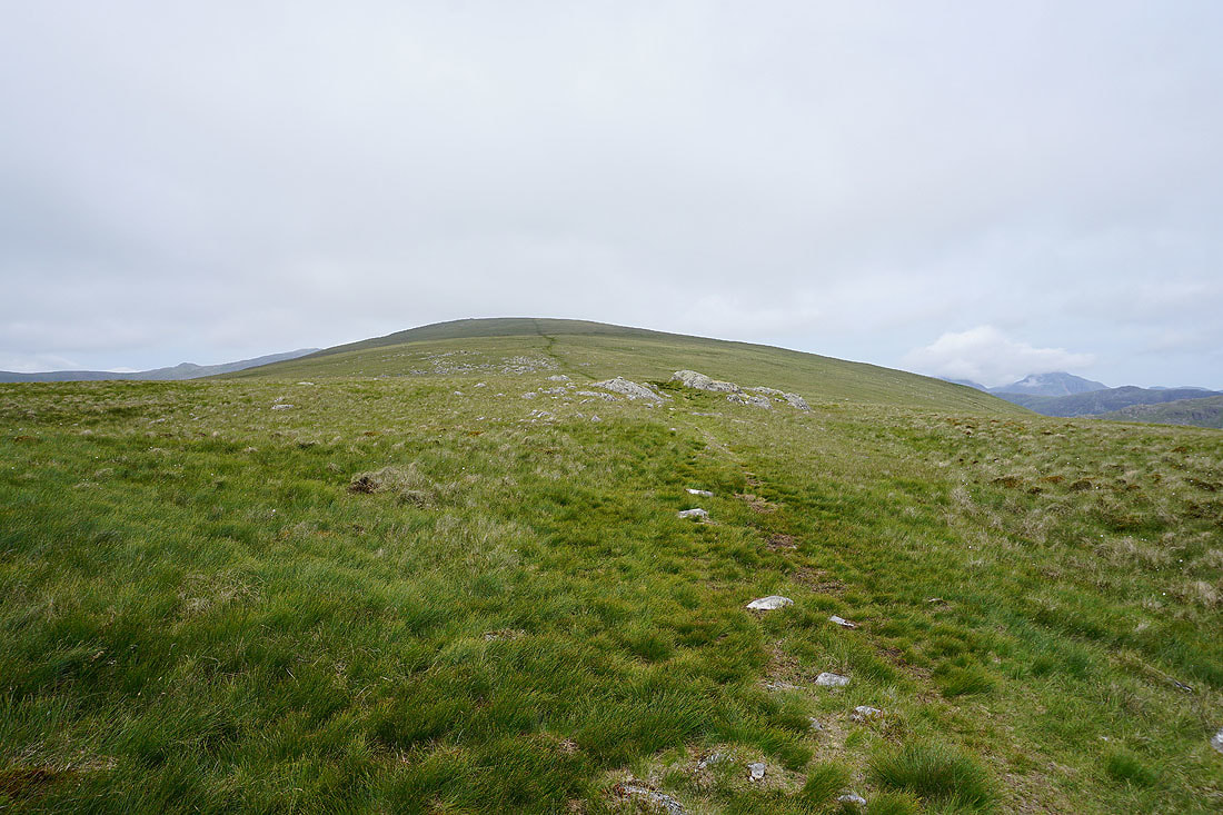
Looking back to the top of Seatallan
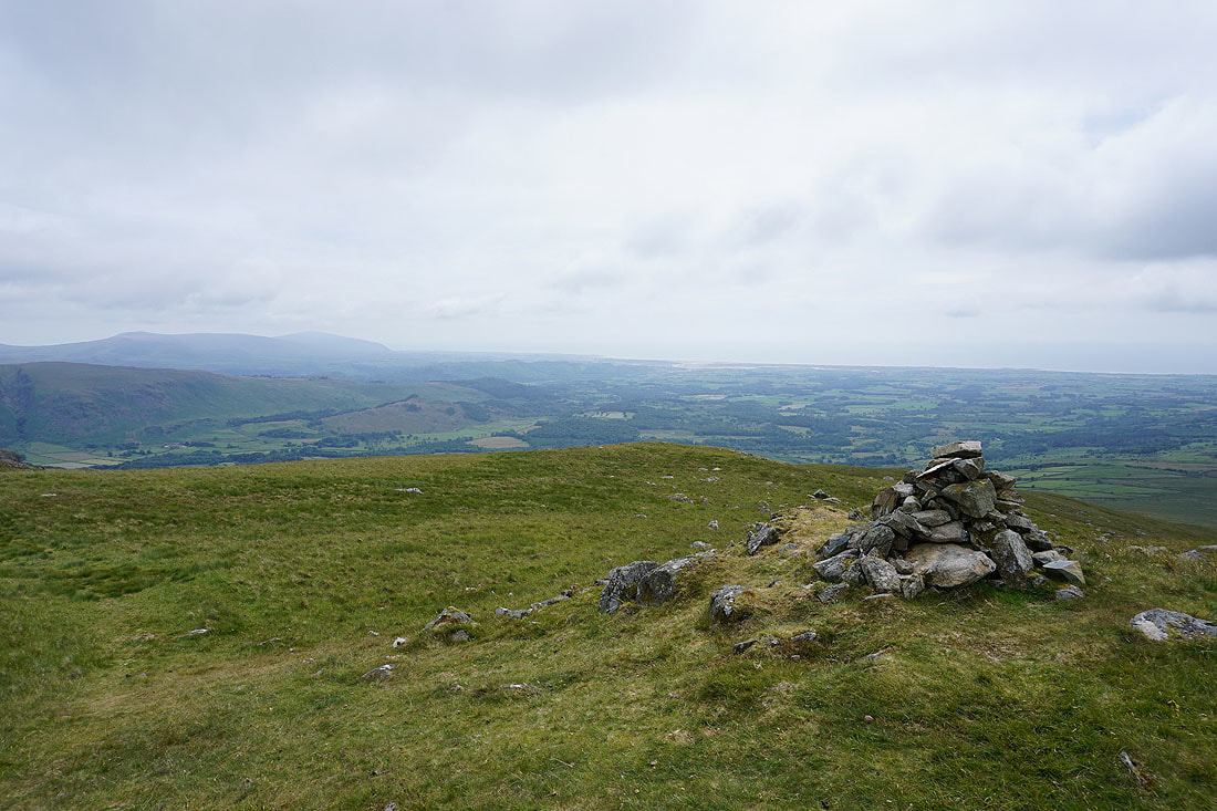
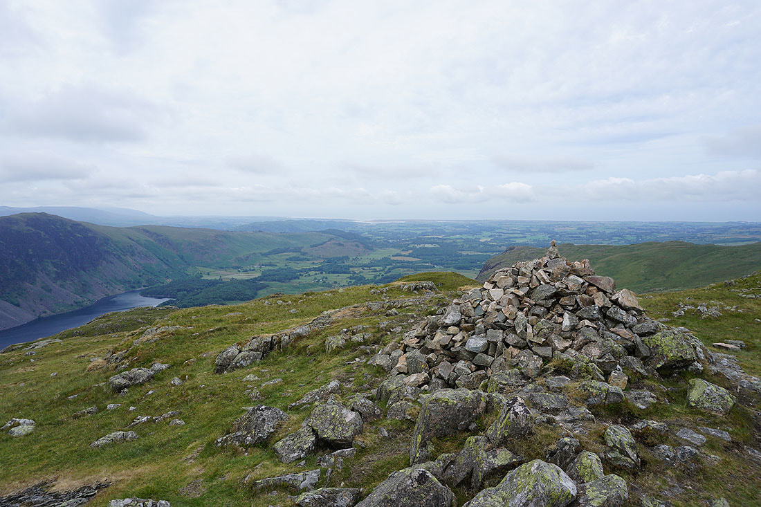
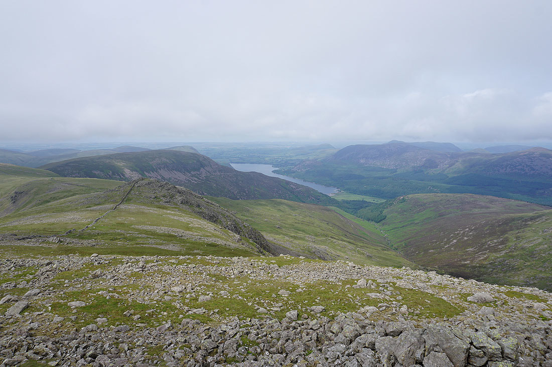
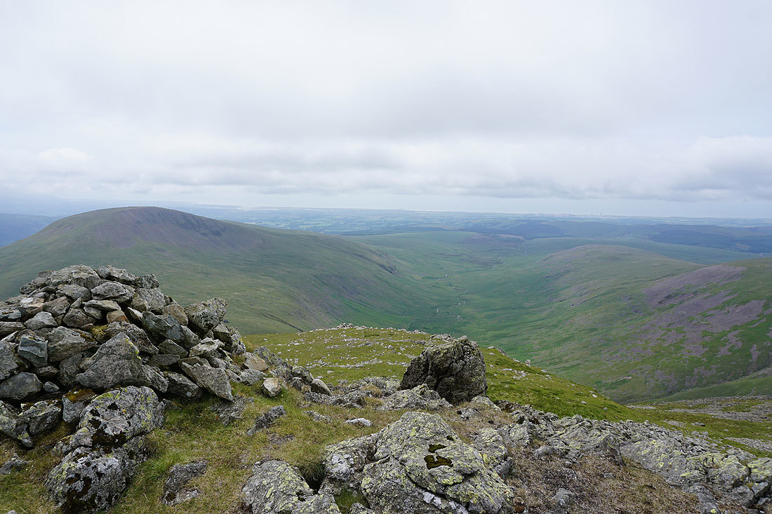
Wasdale to the coast from the cairn on Glade How
and again but from the summit cairn of Buckbarrow
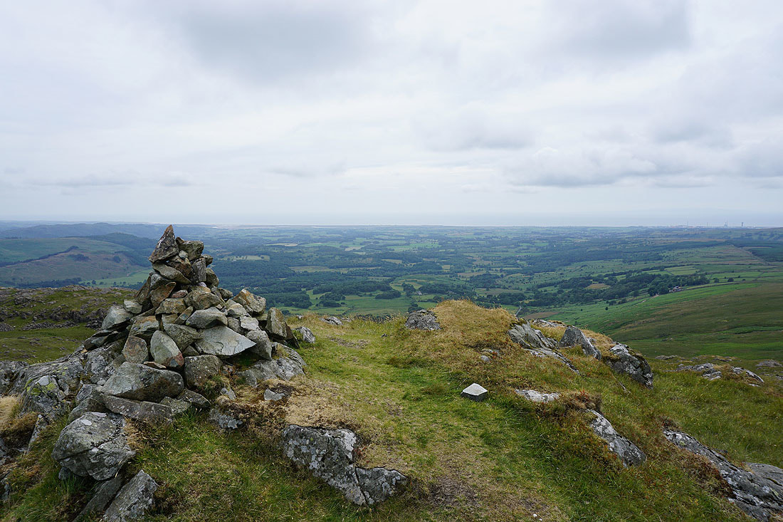
A hint of the view down and across Wasdale. It will be much better if I head for the top of the crags above the valley..
..and this is it. Not bad.
That's Greendale below and I can see where I've parked my car. Unfortunately there's no direct way down.
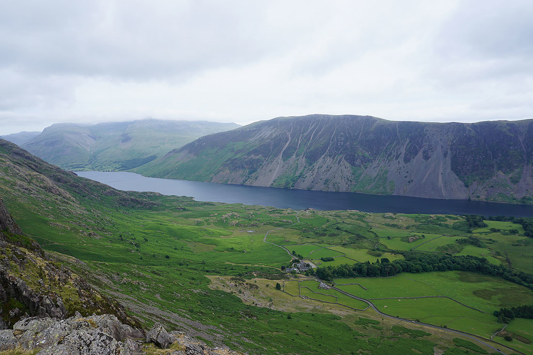
Looking down Wasdale to Irton Pike and the coast
Walking beneath the crags of Buckbarrow on my way back to Greendale..