23rd March 2008 - The Dodds
Walk Details
Distance walked: 9.8 miles
Total ascent: 2552 ft
OS map used: OL5 - The English Lakes, North-eastern area
Time taken: 7 hrs
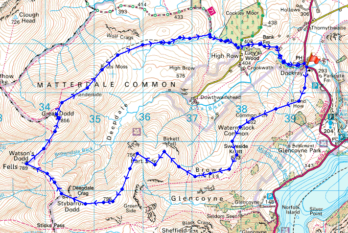
Route description: Dockray-Bracken How-Round How-Common Fell-Swineside Knott-Hart Side-Green Side-Stybarrow Dodd-Watson's Dodd-Great Dodd-Randerside-Old Coach Road-High Row-Dockray
A snowy walk on the eastern fells.
From Dockray I made my way uphill onto the fells beside the village, Bracken How and Round How and then across Watermillock Common to Swineside Knott. It was then onto Hart Side and Green Side to eventually arrive on the summit of Stybarrow Dodd. Easy walking across to Watson's Dodd and Great Dodd before heading back to Dockray by way of Randerside, the Old Coach Road and High Row.
Route map
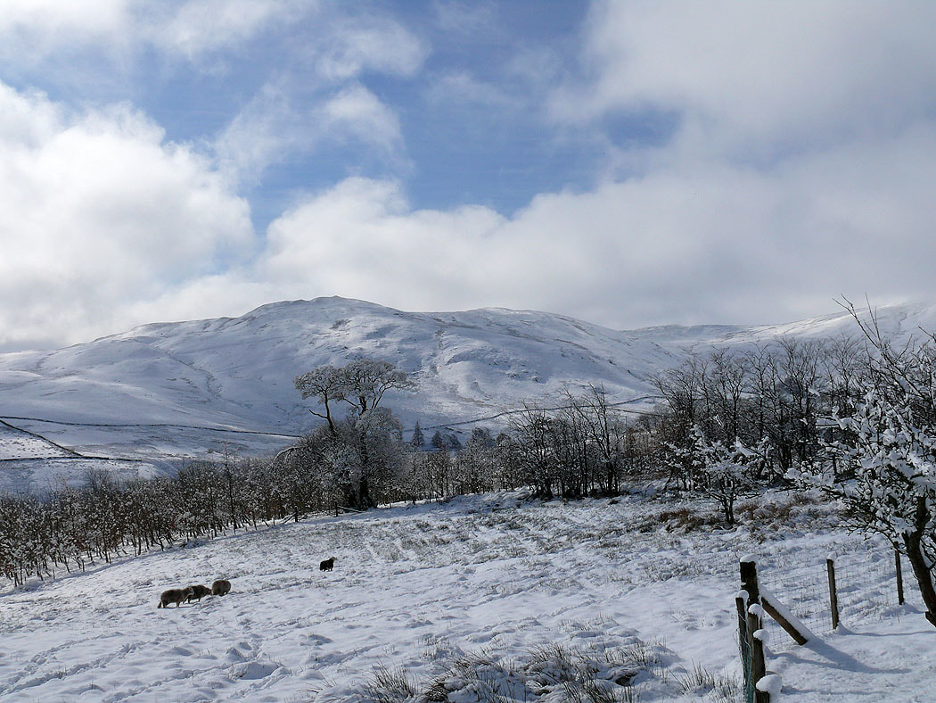
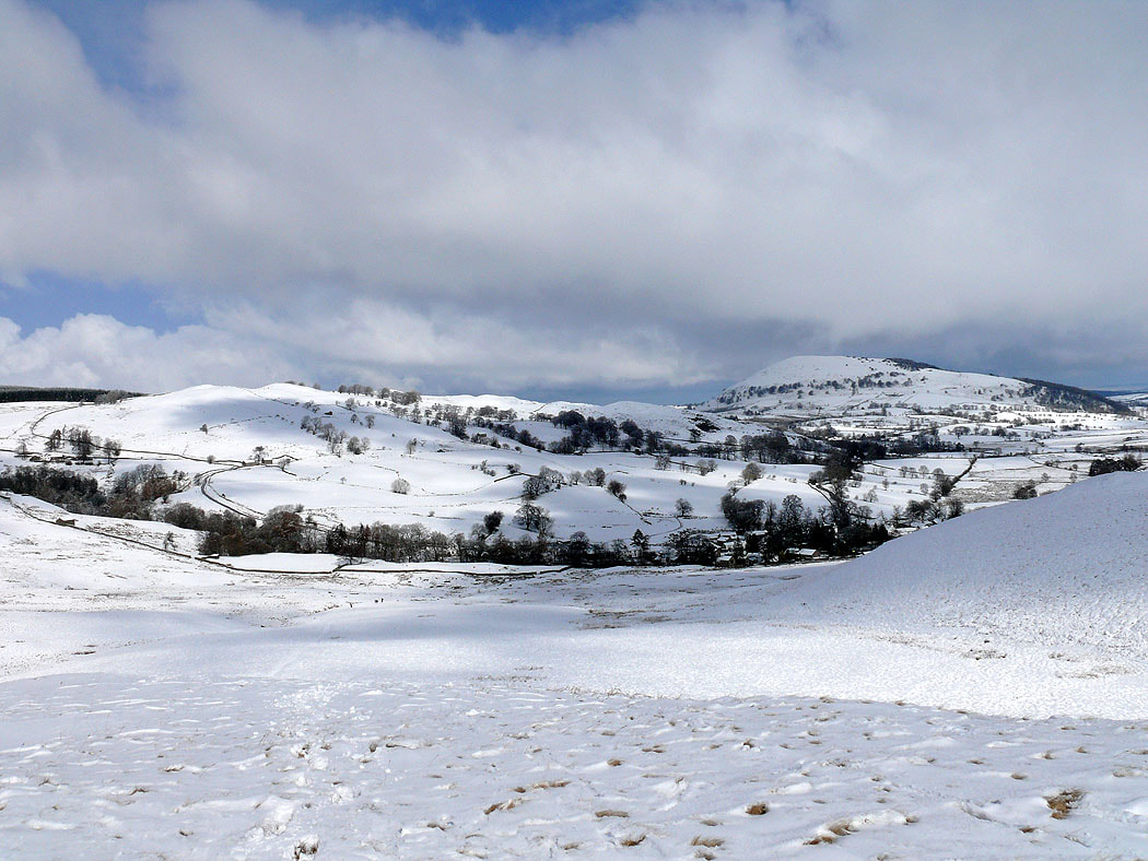
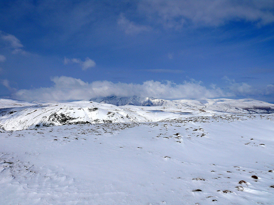
Common Fell from the start of the walk in Dockray
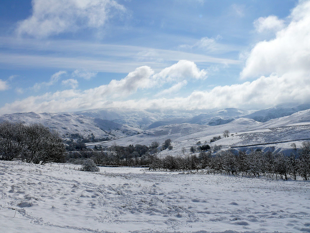
Cloud clearing from the far eastern fells
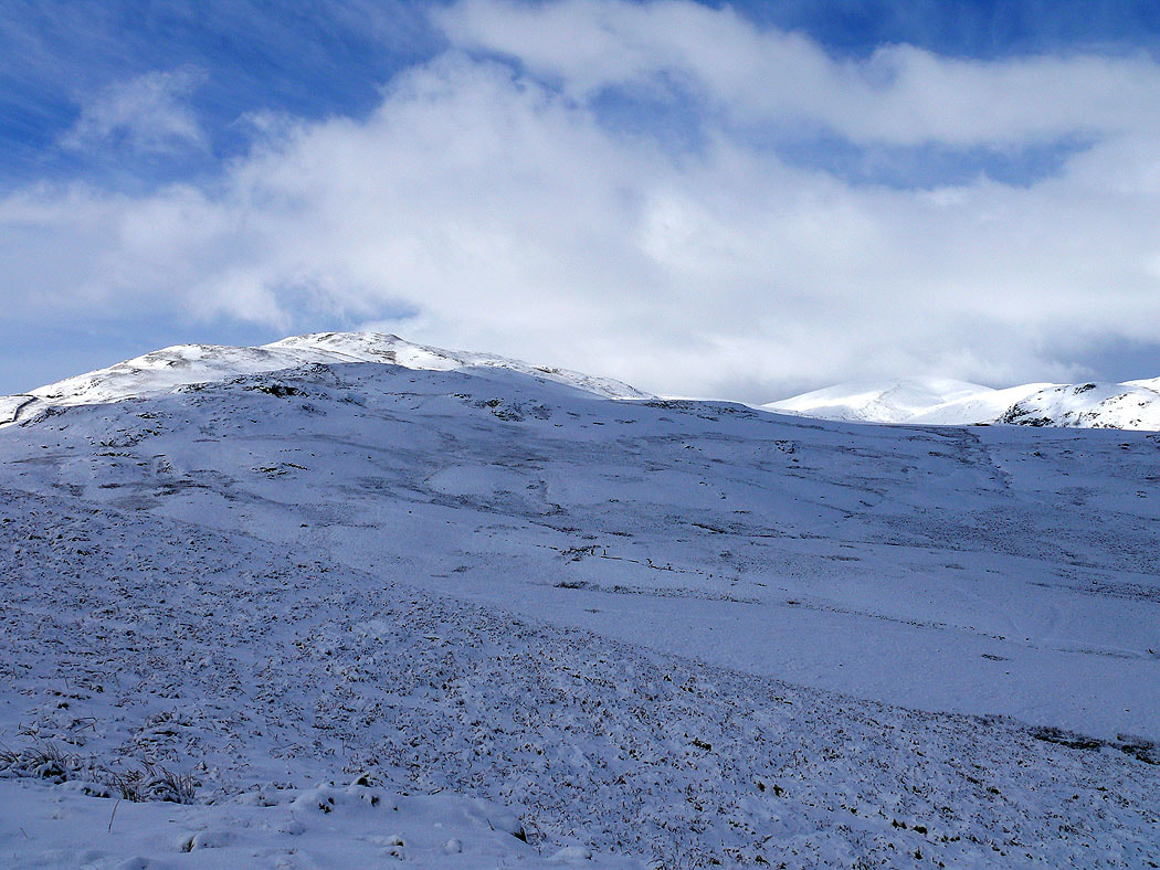
On the way up Bracken How
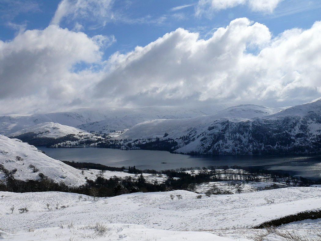
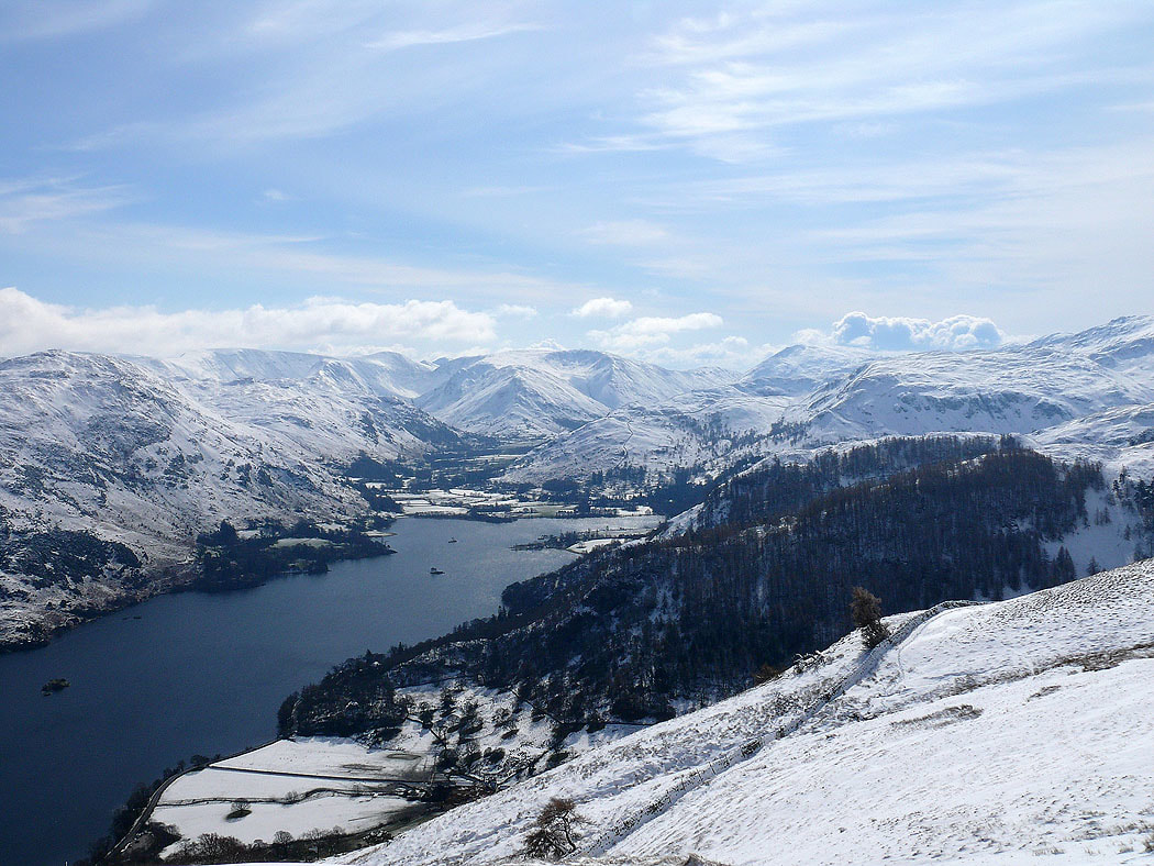
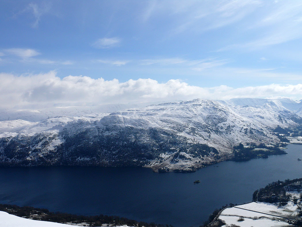
Hallin Fell and High Dodd on Place Fell across Ullswater from Bracken How
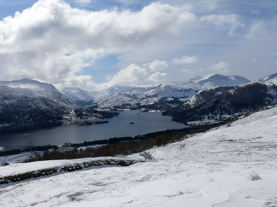
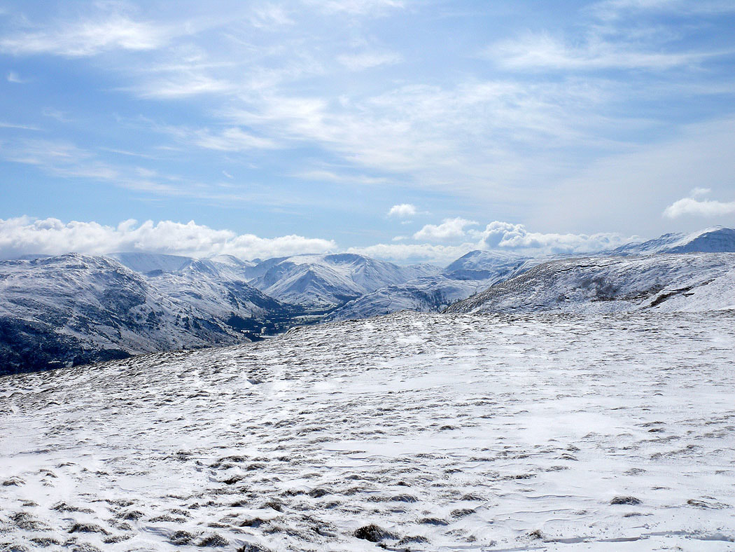
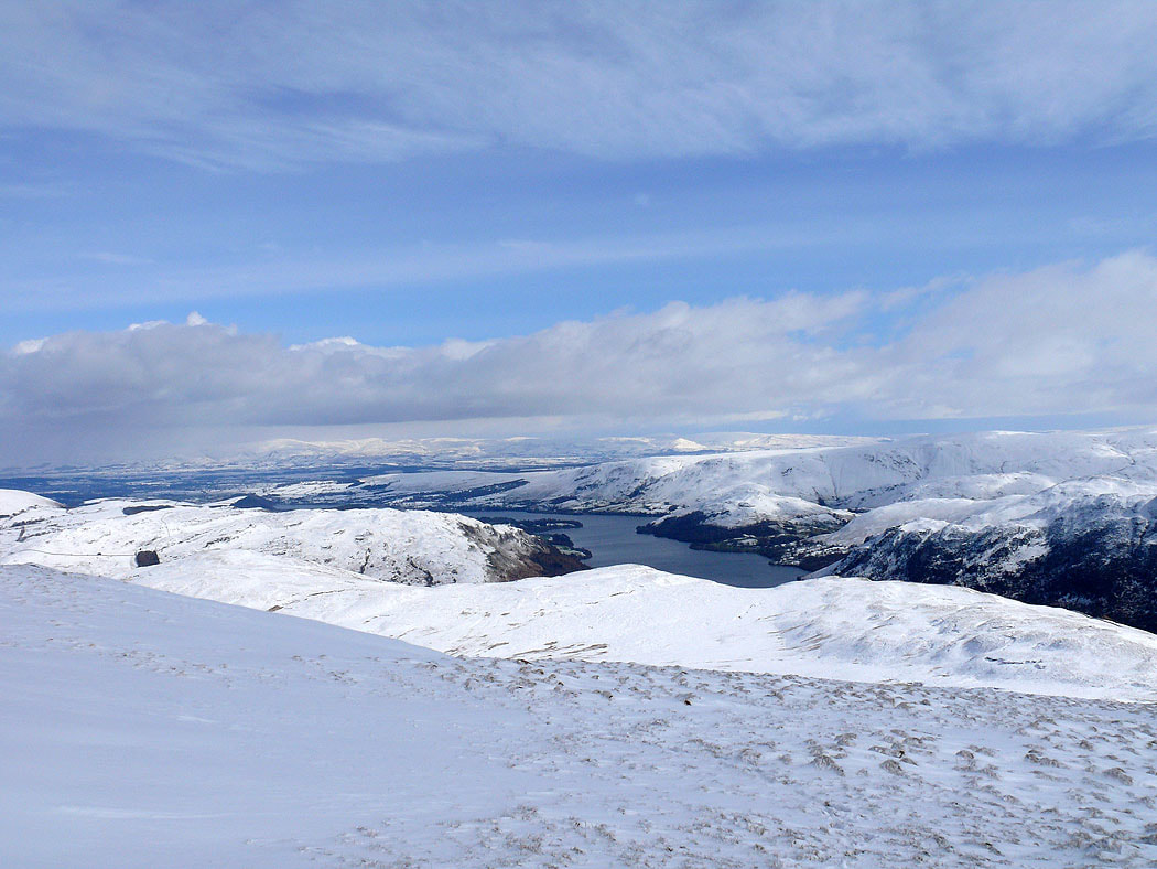
and looking towards the head of Ullswater
Great Mell Fell on the right
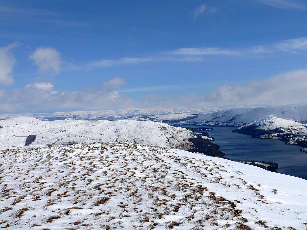
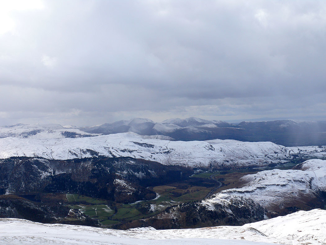
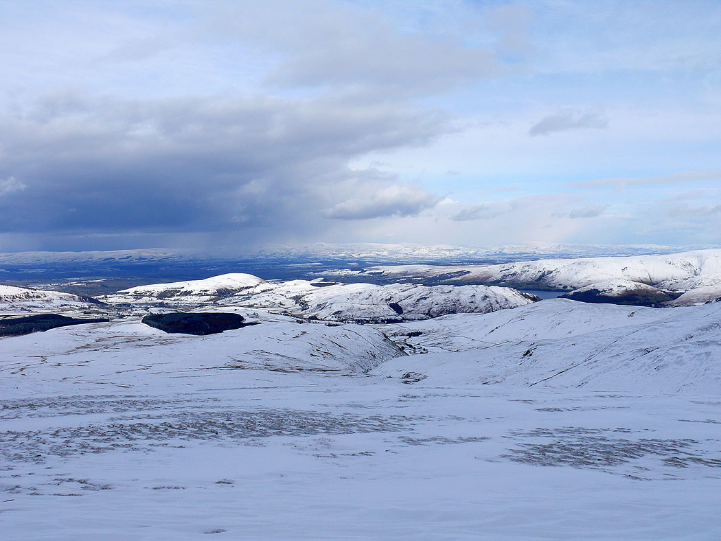
On Watermillock Common. Cross Fell and the North Pennines can be seen in the distance.
Cloud on Blencathra
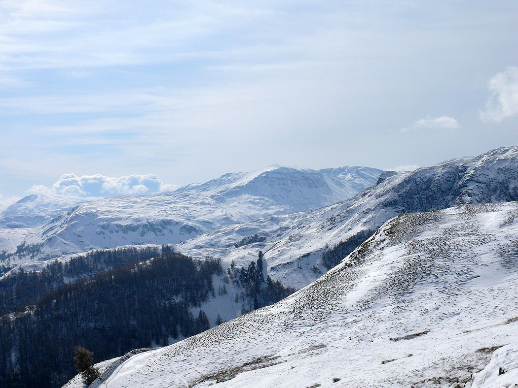
Caudale Moor and Red Screes either side of the Kirkstone Pass
Place Fell with cloud still shrouding High Street behind
The fells around the head of Ullswater from Swineside Knott
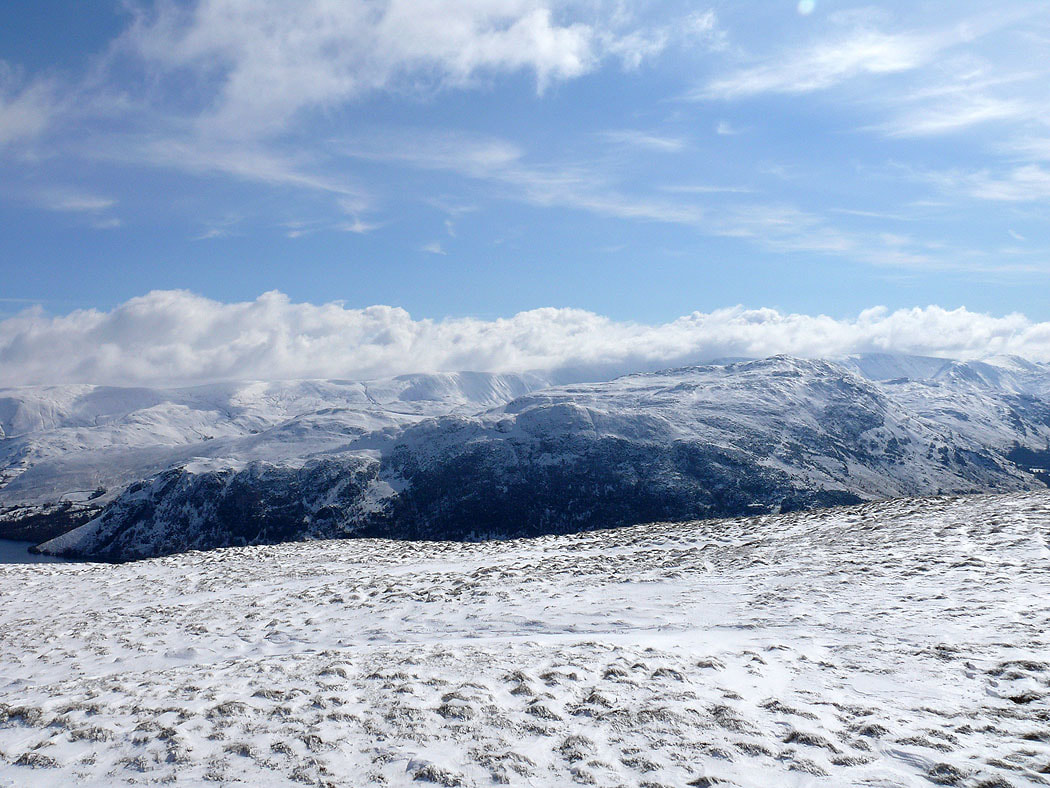
Gowbarrow Fell with Cross Fell in the distance
Place Fell
St Sunday Crag
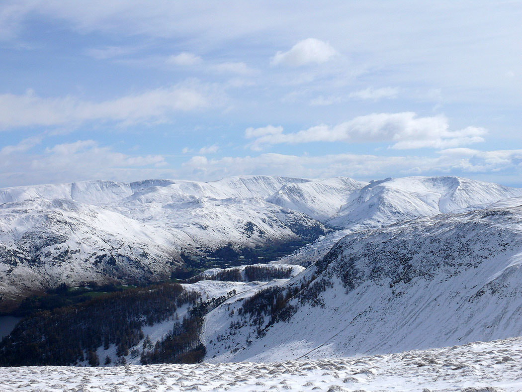
High Raise, Rampsgill Head, High Street, Thornthwaite Crag and Caudale Moor as I make my way up Hart Side
The North Pennines in the distance
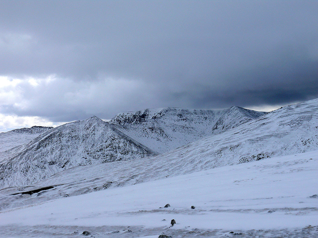
Zooming in on Catstye Cam and Helvellyn from Green Side. Dark clouds developing.
Crag Hill and Grisedale Pike from a cold and windy summit of Stybarrow Dodd
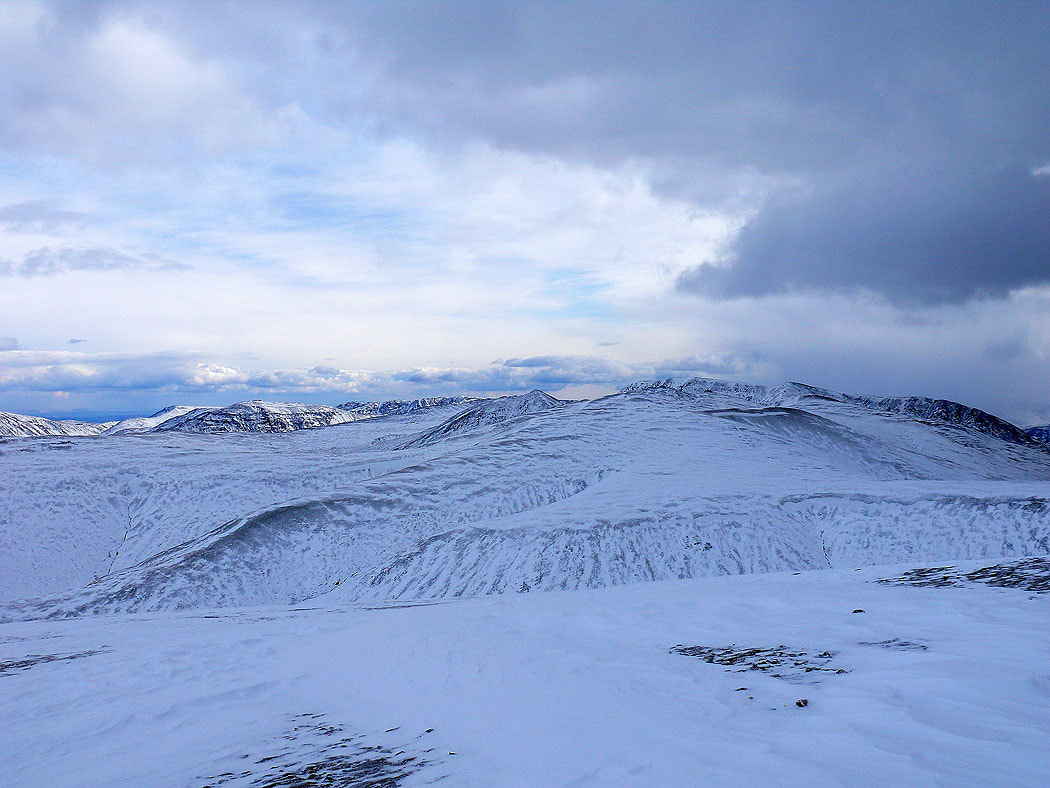
Raise with Helvellyn and Helvellyn Lower Man behind
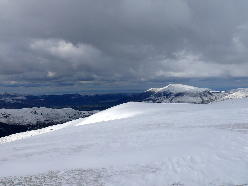
The next summit of Watson's Dodd and Skiddaw
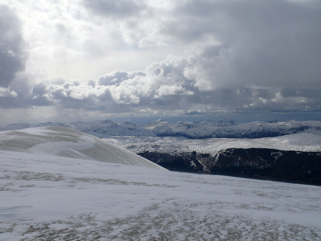
Bowfell, Esk Pike, Scafell Pike, Lingmell, Great Gable and Pillar
Skiddaw from Watson's Dodd. That's the fell of High Rigg down in St John's in the Vale.
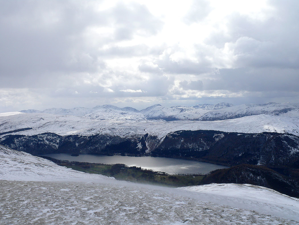
Bowfell, Esk Pike, Scafell Pike, Lingmell, Great Gable and Pillar with Thirlmere below
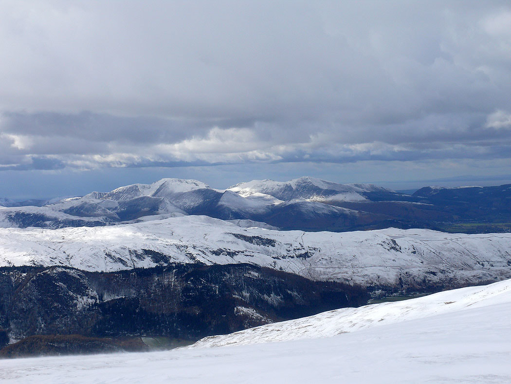
Crag Hill, Grisedale Pike and the rest of the northwestern fells
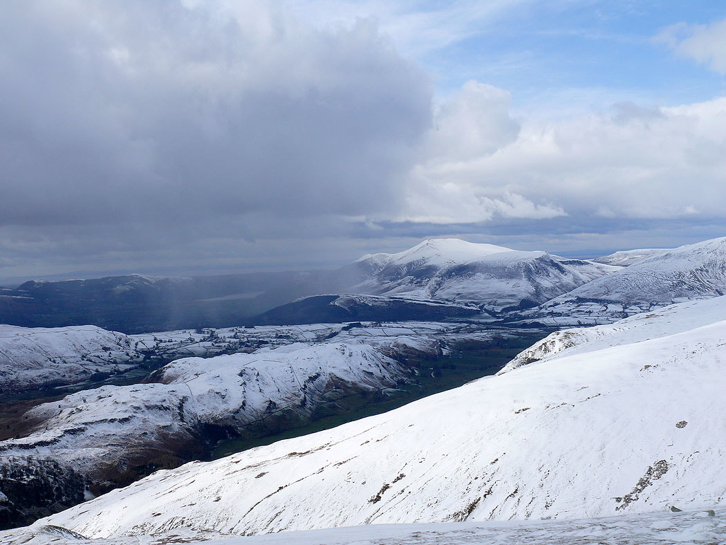
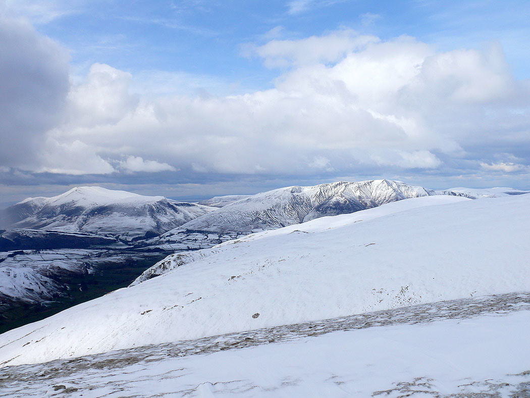
Skiddaw and Blencathra
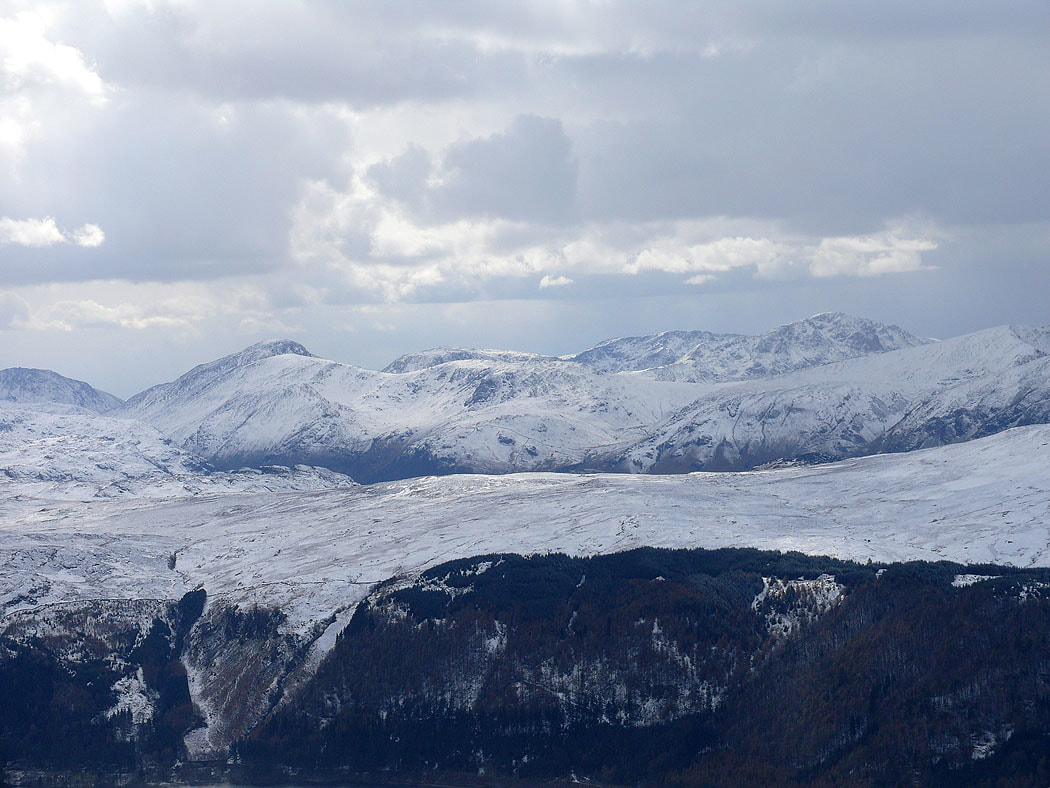
Zooming in on Great Gable, Kirk Fell, Red Pike and Pillar
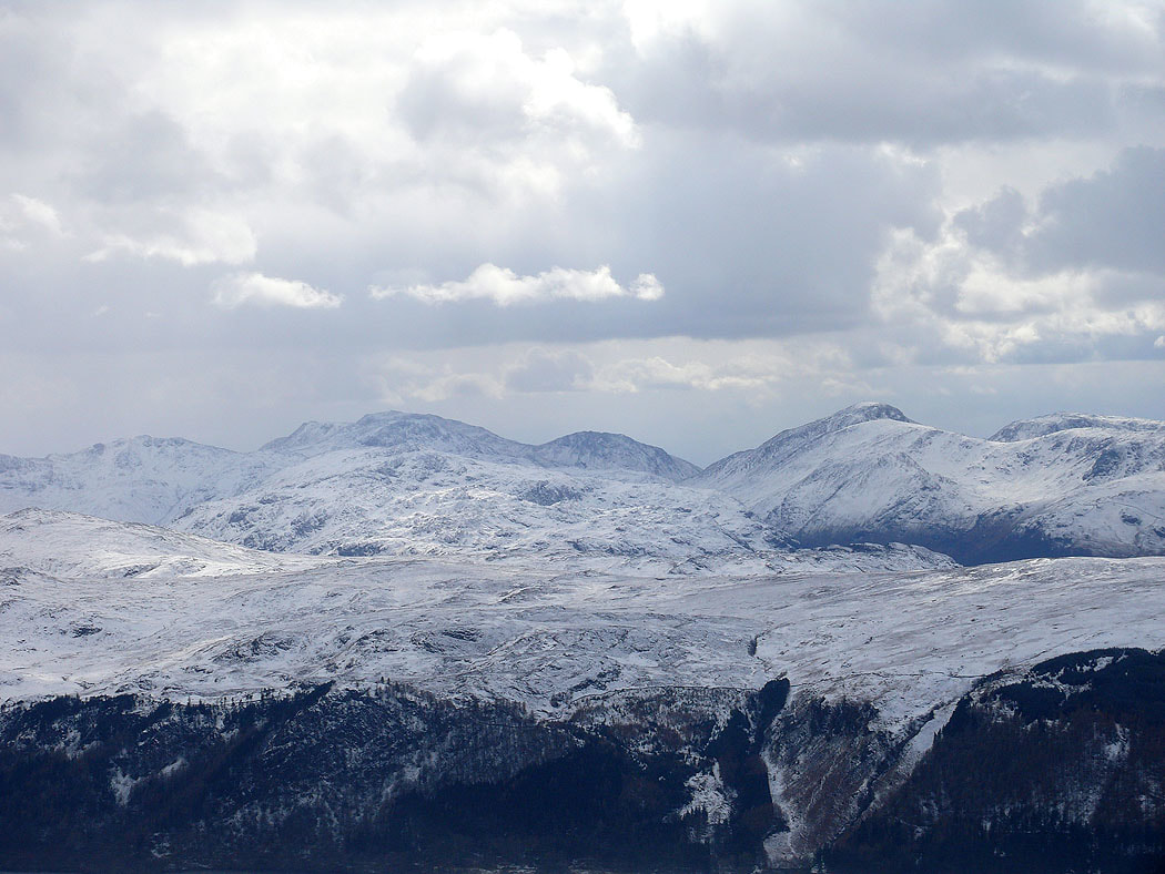
Esk Pike, Scafell Pike, Lingmell and Great Gable
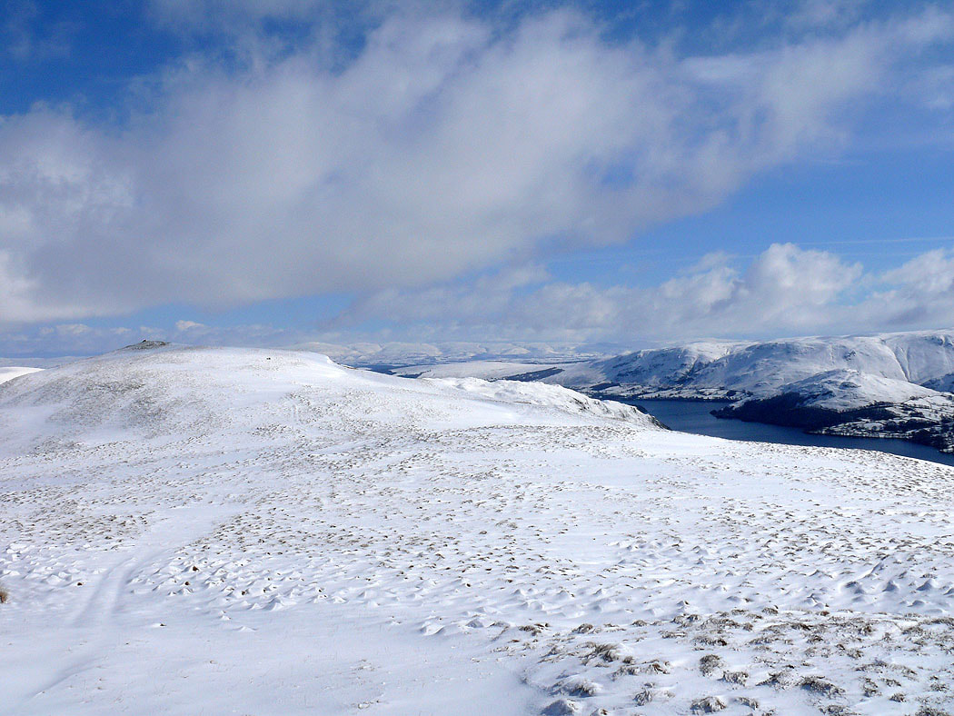
On Great Dodd, the final summit of the day. The view south along the ridge to Stybarrow Dodd and Helvellyn.
The valley of Deepdale heads down to become Aira Beck
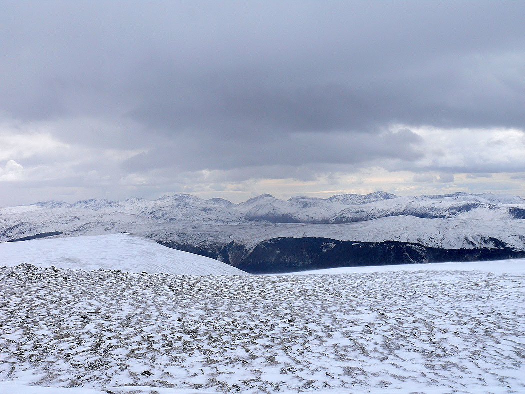
Bowfell, Esk Pike, Scafell Pike, Lingmell, Great Gable and Pillar from Great Dodd
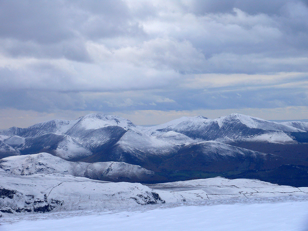
Zooming in on Crag Hill, Hopegill Head and Grisedale Pike
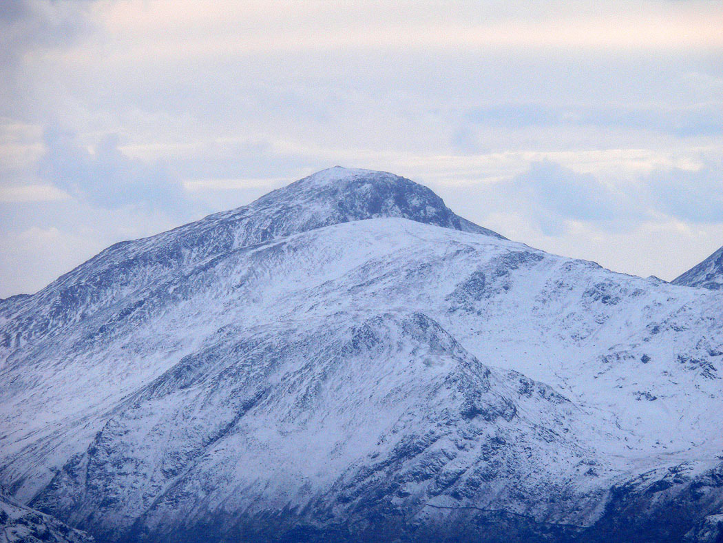
Great Gable
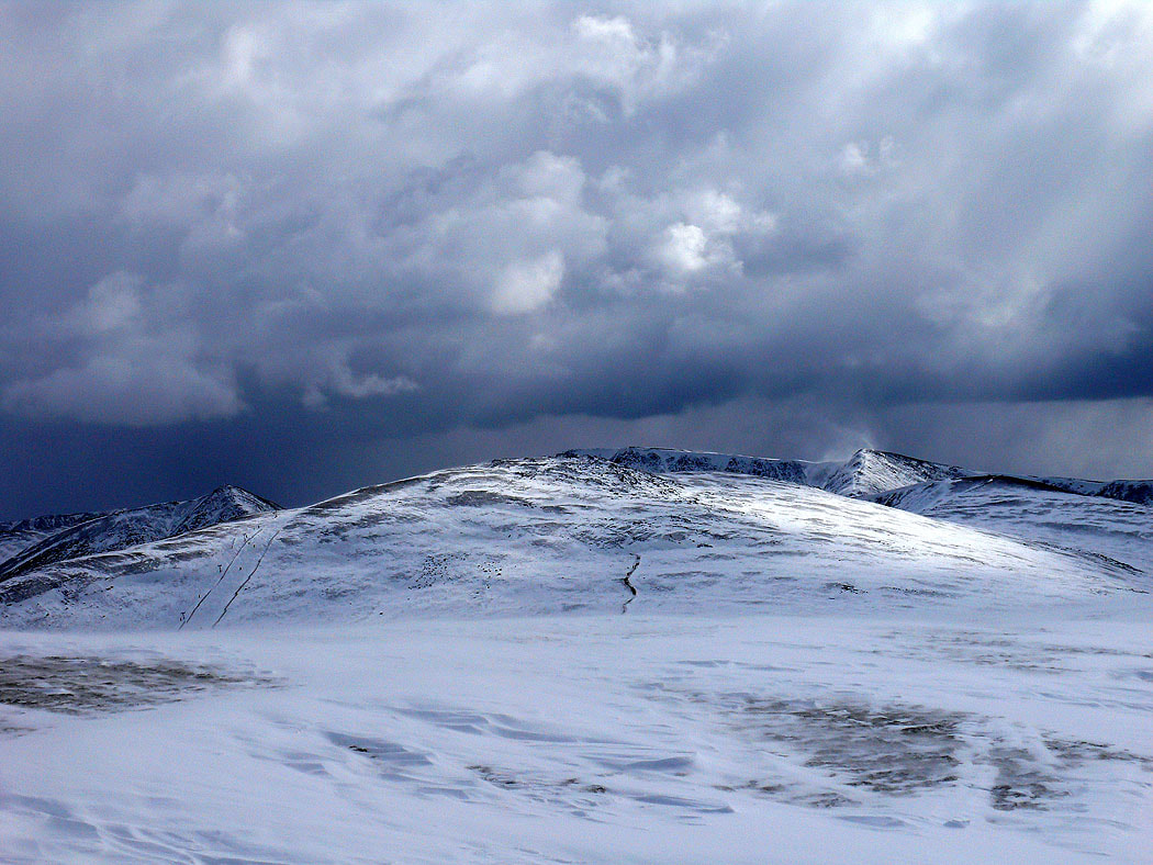
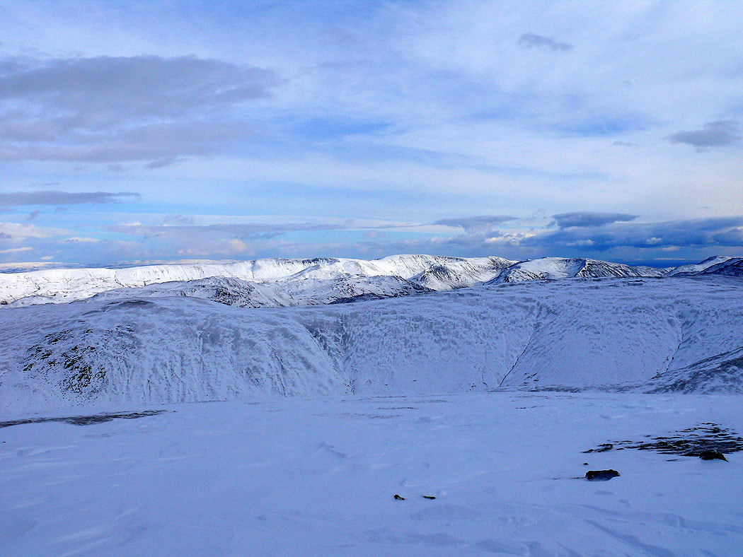
The final shot of the day is across to High Street and the far eastern fells
