23rd March 2014 - Aye Gill Pike & Dentdale
Walk Details
Distance walked: 13.0 miles
Total ascent: 1821 ft
OS map used: OL2 - Yorkshire Dales, Southern & Western areas
Time taken: 7.5 hrs
Route description: Dent-Church Bridge-Dales Way-Barth Bridge-Lunds-Long Moor-Aye Gill Pike-Rise Hill-Snaizwold Fell-Dockra Bridge-Cowgill-Ewegales Bridge-Dales Way-Church Bridge-Dent
When I arrived in Dent this morning I was quite surprised at just how full the car park was and the number of walkers about. I don't know where they were heading but they certainly didn't follow me up Aye Gill Pike. After I'd left Dentdale behind I didn't see anyone again until I was back in Dent. It was a fantastic day for hill walking, bright sunshine and excellent visibility. A few brief hail showers didn't spoil the day in any way.
From the car park in Dent I made my way through the village and down to Church Bridge. I then followed the Dales Way to Barth Bridge, a lane uphill to Lunds and a bridleway to Long Moor. The moorland crossing of Aye Gill Pike, Rise Hill and Snaizwold Fell came next, keeping to the north side of the wall that runs across the top except when I visited the trig point of Aye Gill Pike. My route back was the bridleway down to Cowgill and then I followed the Dales Way down Dentdale to Dent.
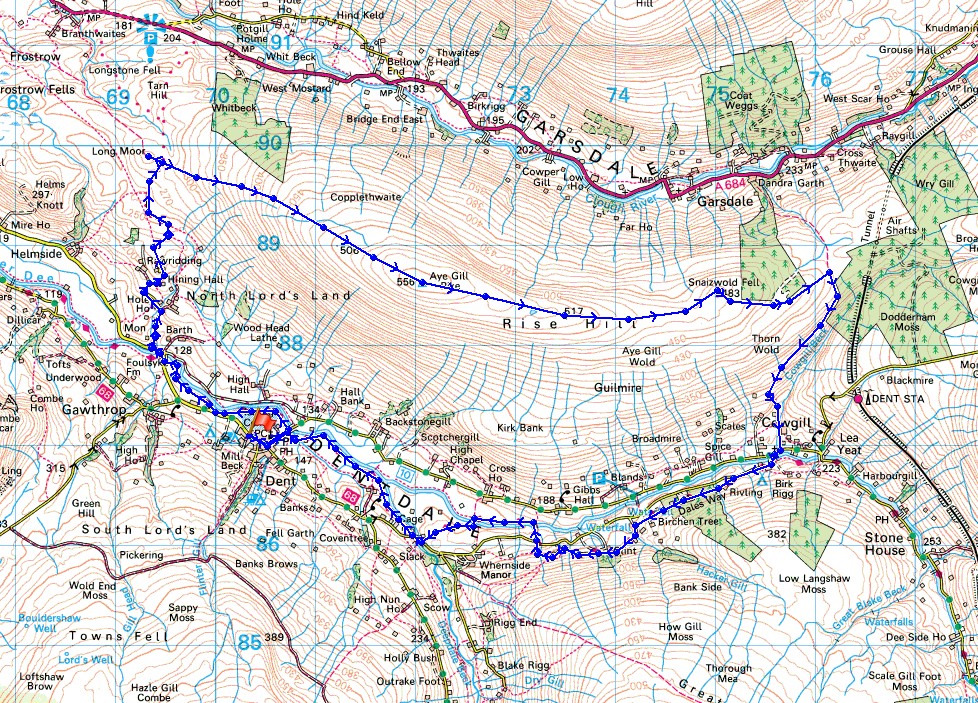
Route map
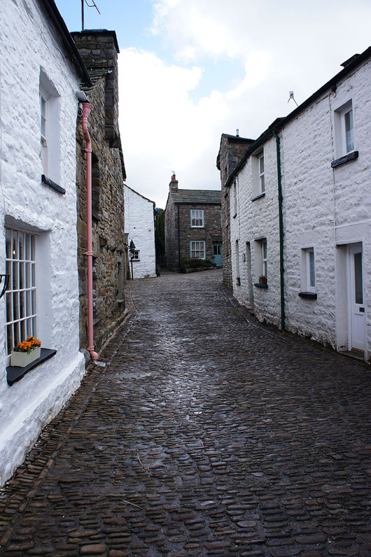
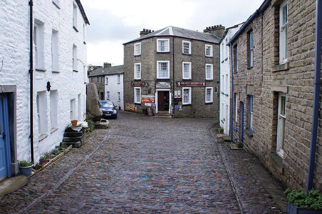
From the car park I'm walking up the main street through Dent and down to Church Bridge. To the right..
..then left
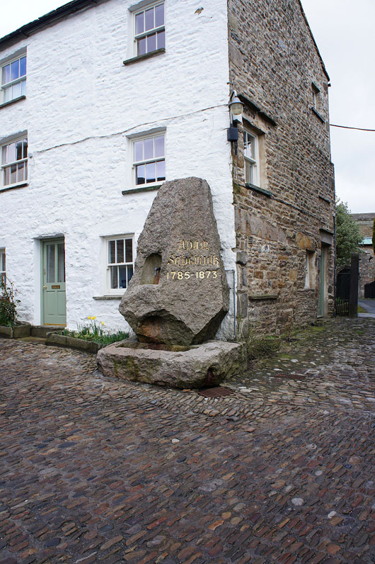
The Adam Sedgwick memorial stone. Adam Sedgwick was born in Dent in 1785 and went on to become the Professor of Geology at Cambridge University from 1818 until he died in 1873. I've included a link to his wikipedia page.
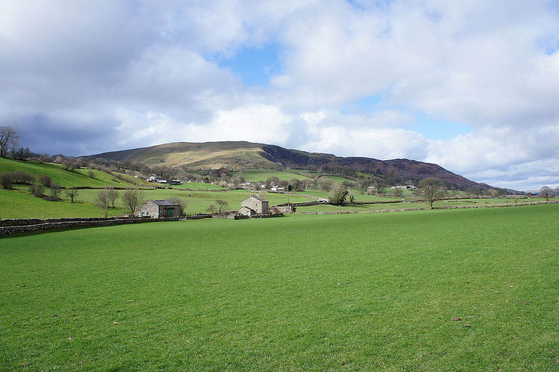
Middleton Fell with the hamlet of Gawthrop on the hillside above
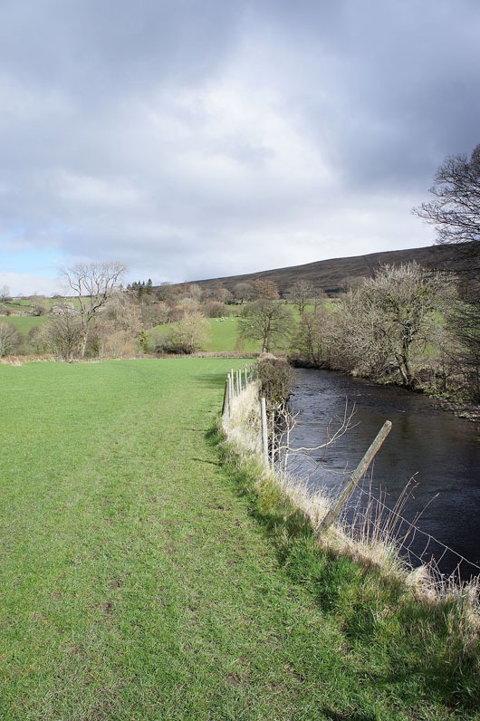
On the Dales Way by the River Dee to Barth Bridge
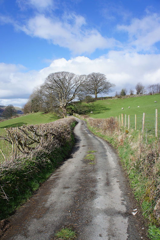
From Barth Bridge I'm following this lane all the way to the top where it becomes a bridleway onto the open fell
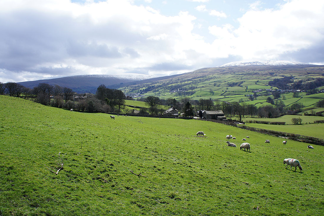
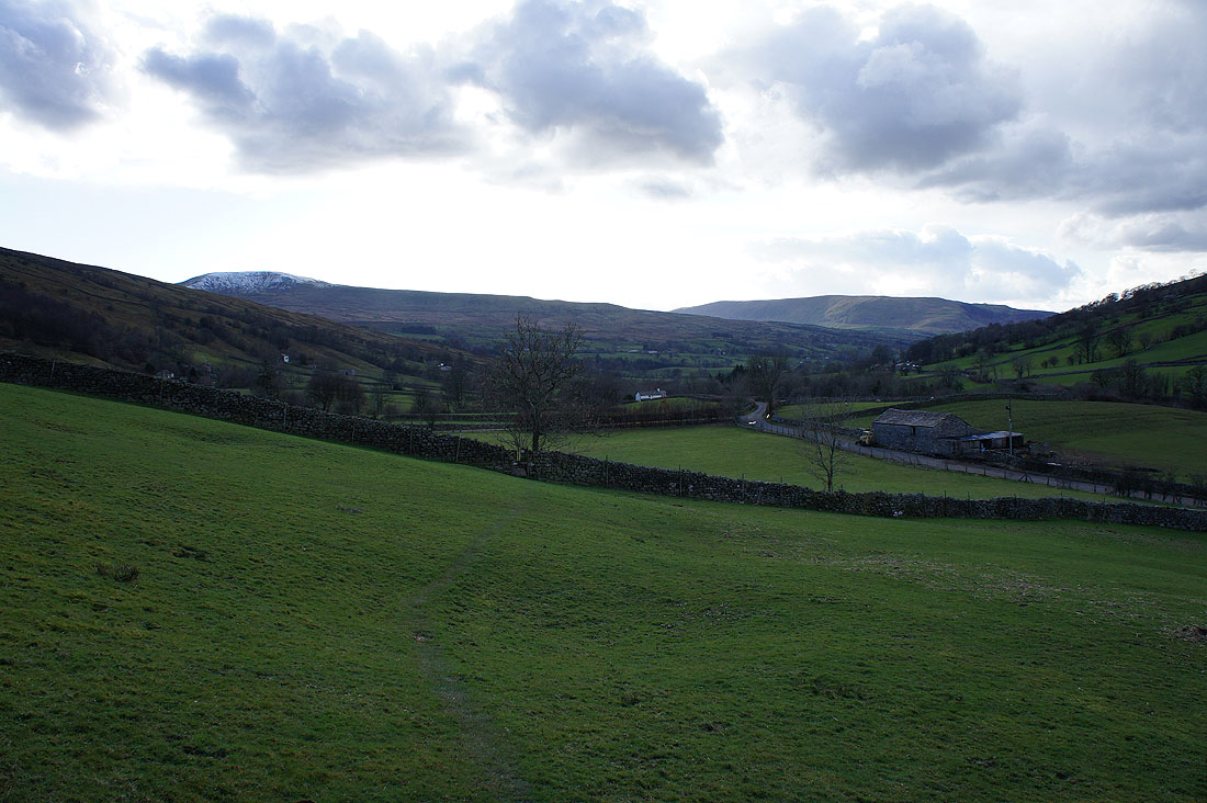
The last proper view of Dentdale I'll have for a while. The snow covered fells are Whernside and Great Coum.
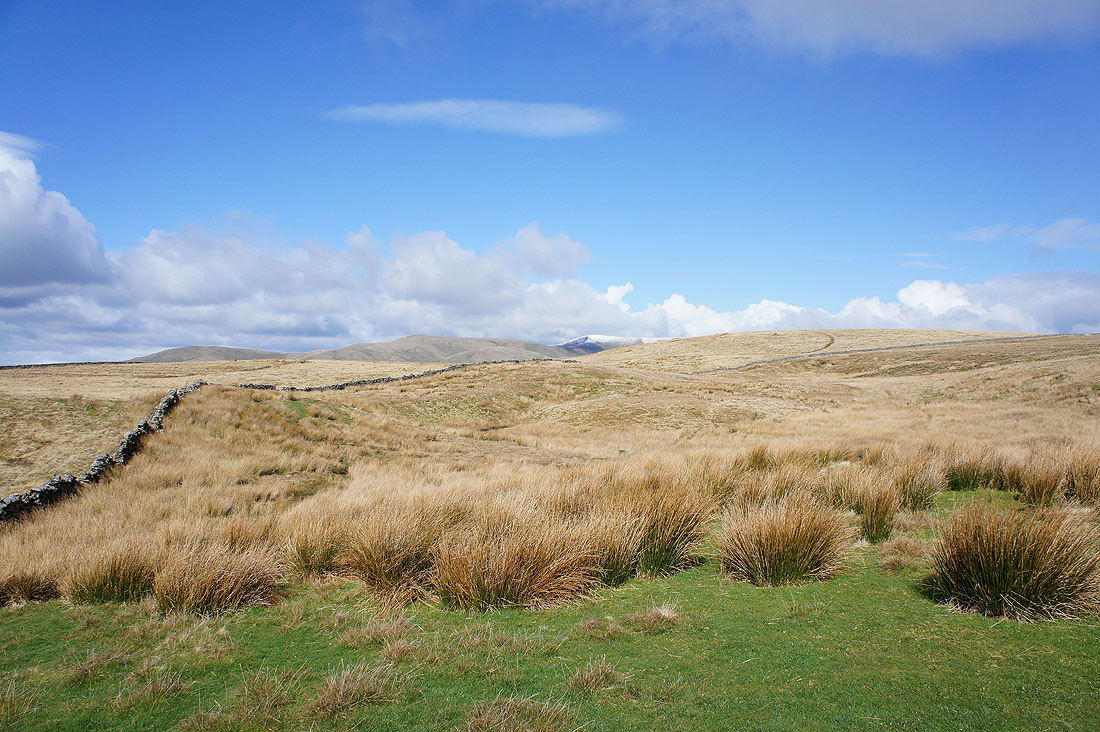
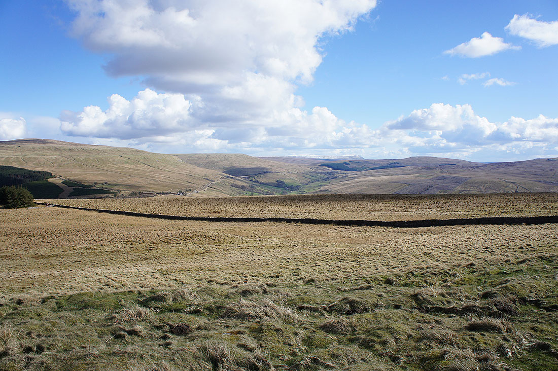
Nearing the top of the bridleway and there are tantalising glimpses of what's to come
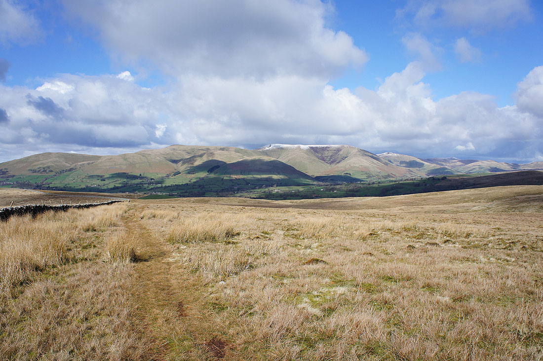
Before I head up Aye Gill Pike a short detour to see this view of the Howgills from Long Moor
It doesn't take long for the views to expand when I turn around. Beyond the nearby Frostrow Fell I can clearly make out snow covered Lake District fells in the distance.
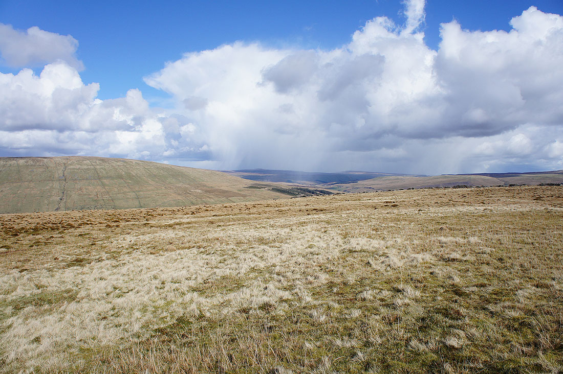
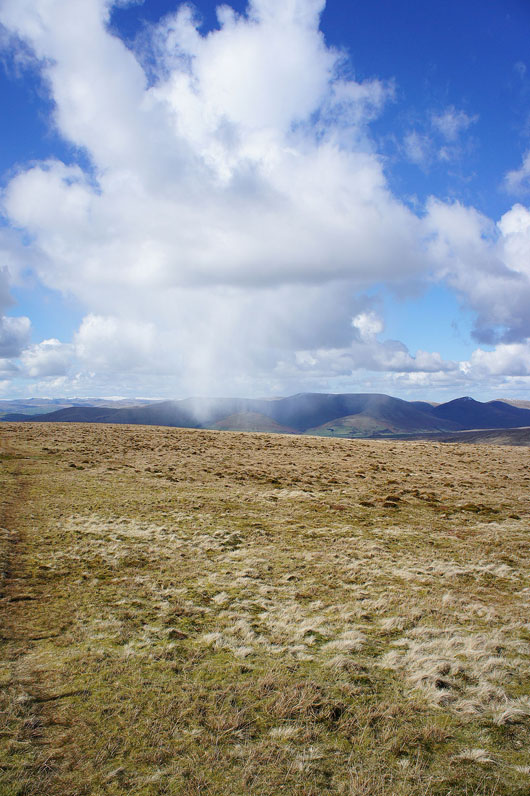
Developing hail shower over the Howgills. It reached me about fifteen minutes later and was quite brief.
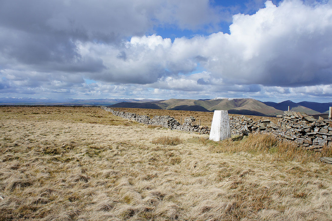
The trig point that marks the summit of Aye Gill Pike with Howgills in the background
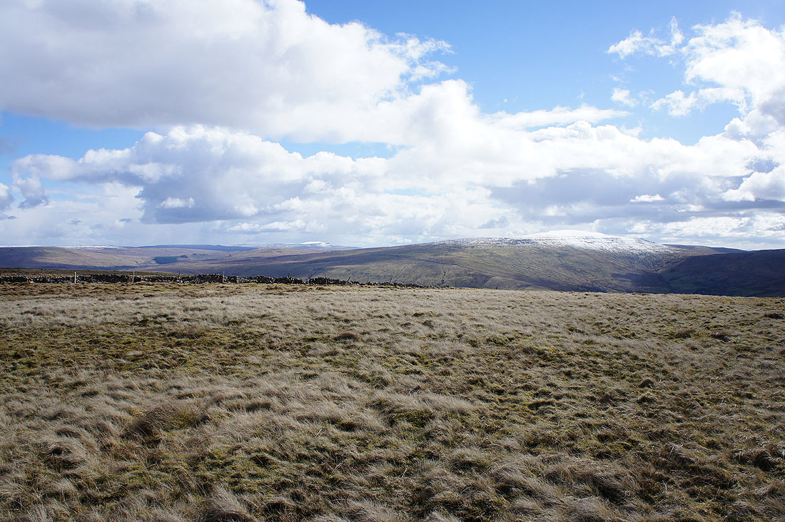
Snow covered Penyghent and Whernside
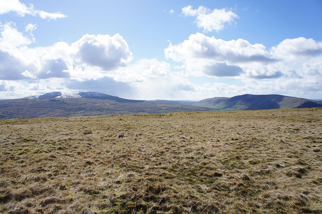
Great Coum and snowless Middleton Fell
Great Knoutberry Hill in shadow
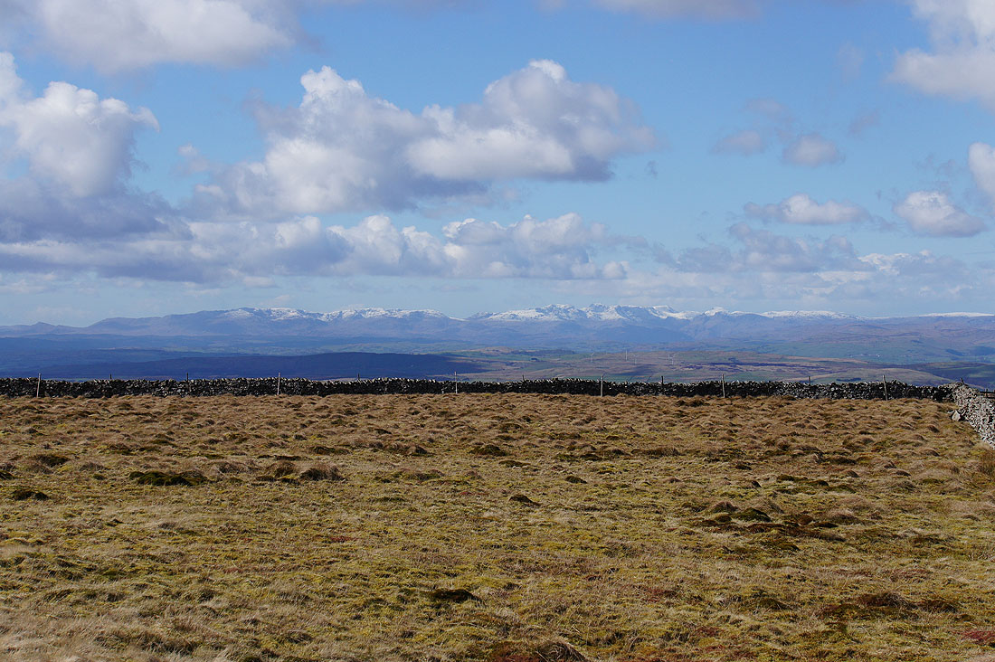
To the northwest a big vista with a surprising amount of the Lake District in view
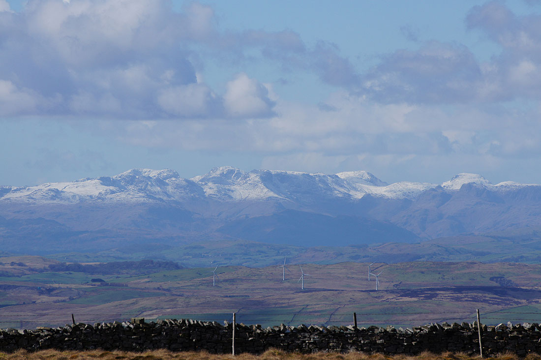
A change of lens for a close up. The Coniston fells, the Scafells and Great Gable.
On maximum zoom, the Crinkle Crags in front of Scafell, Scafell Pike, Bow Fell, Great End and the Langdale Pikes in front of Great Gable
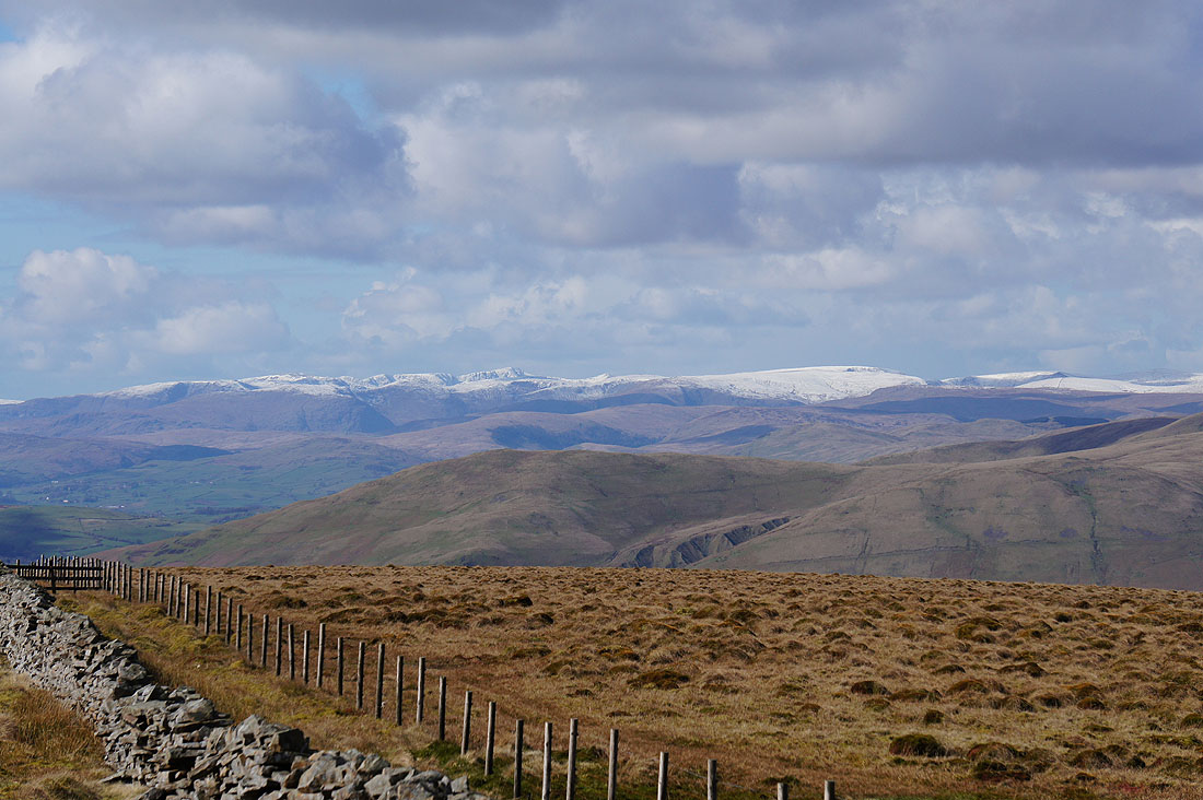
Helvellyn and High Street
The bulk of Baugh Fell to the left on the other side of Garsdale with dark clouds and showers over Great Shunner Fell and Lovely Seat
Not another shower!
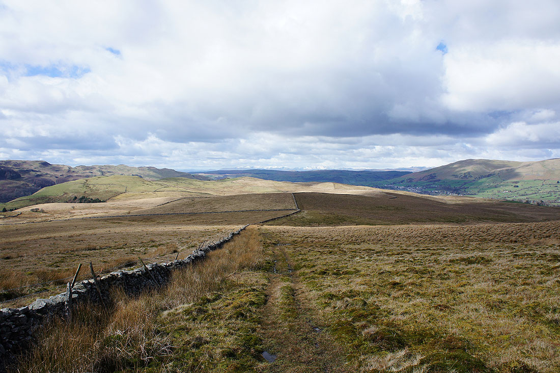
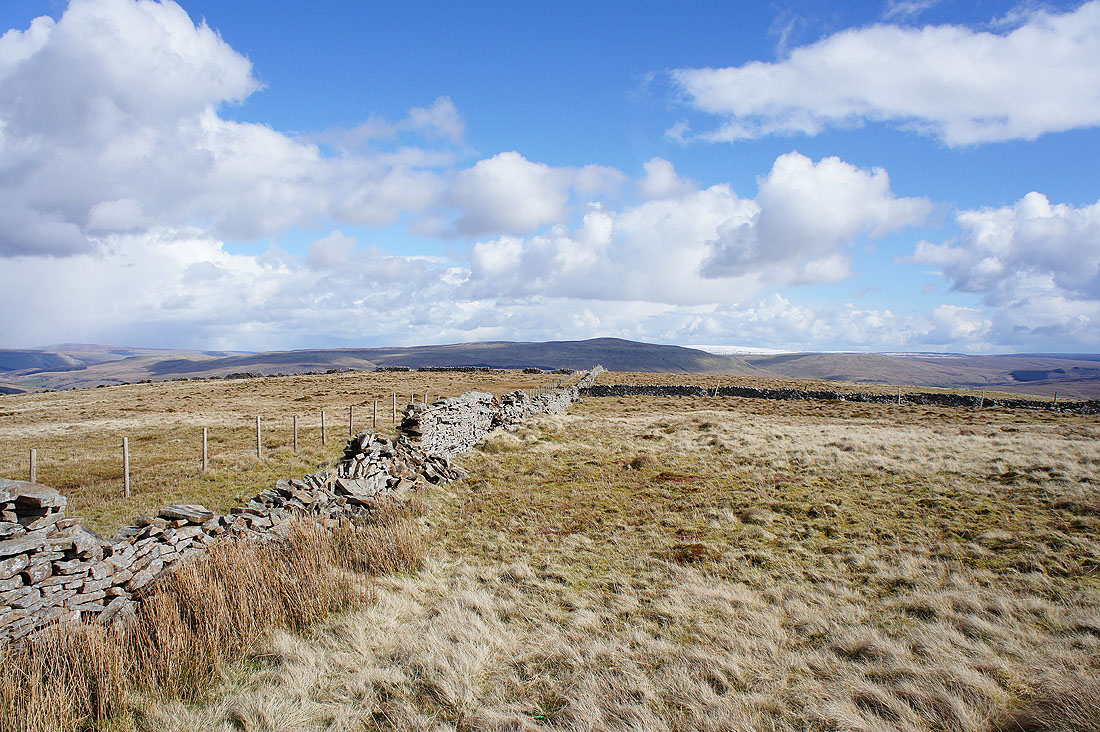
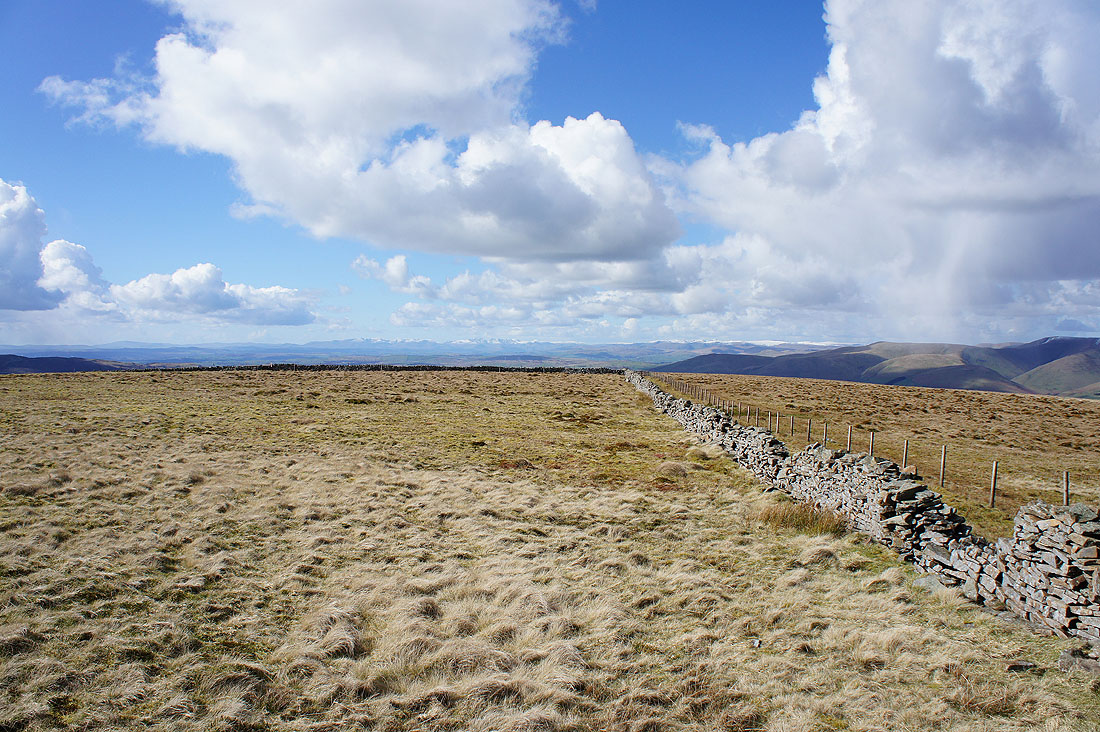
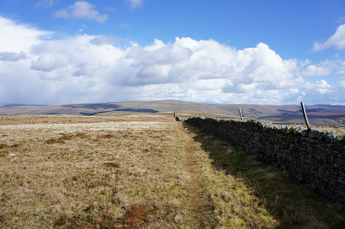
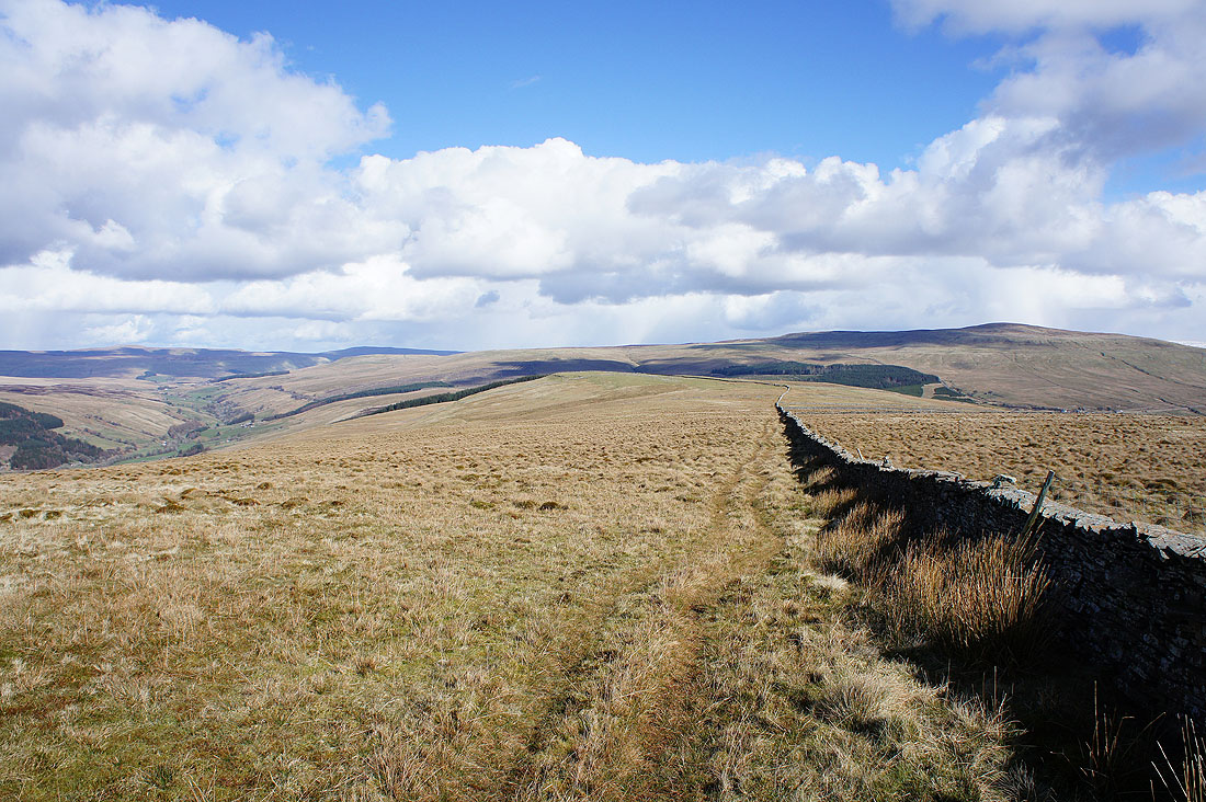
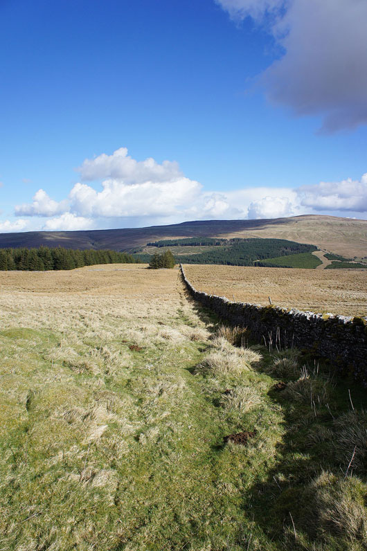
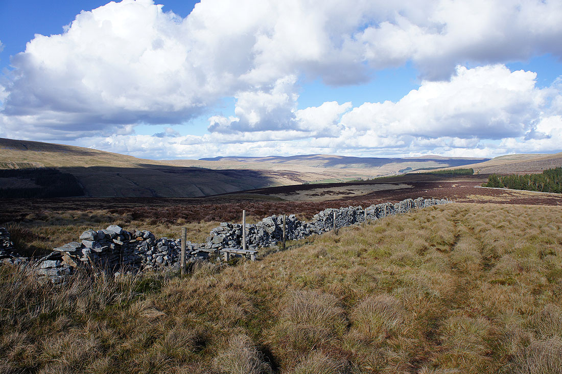
I've left the summit to continue my walk across the top of Rise Hill keeping to the north side of the wall for the step stiles or gaps. I'm going to make a detour to the left to see if I can get a view down into Garsdale.
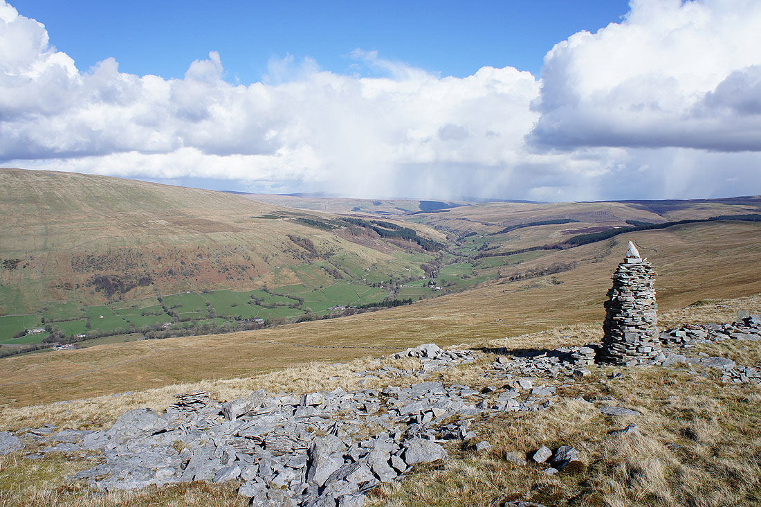
A cairn at the top of the slope provides a great view looking up Garsdale towards Garsdale Head
and towards the Howgills
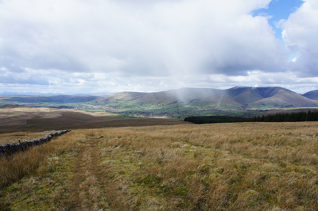
Onwards and the limestone top of Snaizwold Fell is just ahead. At least there'll be dry ground, up until now it's been squelch, squelch with every step.
A fantastic view of Garsdale and the Howgills as I reach Snaizwold Fell
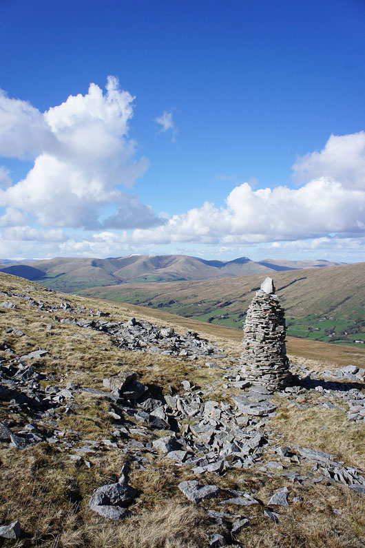
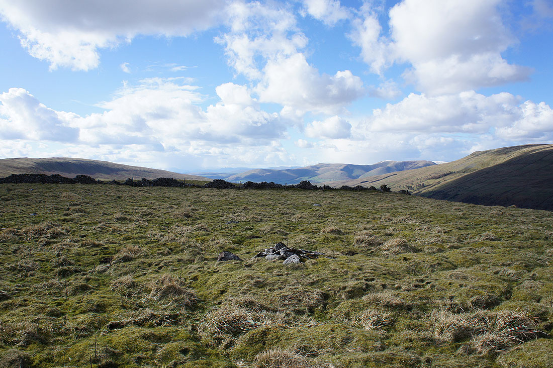
The tiny cairn marking the top of Snaizwold Fell
Great Knoutberry Hill, Wold Fell, the head of Dentdale, Penyghent and Blea Moor
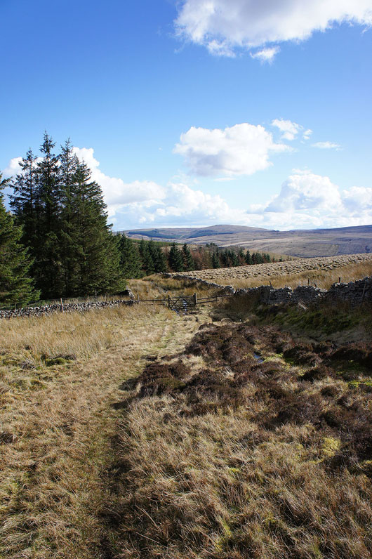
Following the wall down along the edge of a conifer plantation and I'll reach the bridleway down into Dentdale
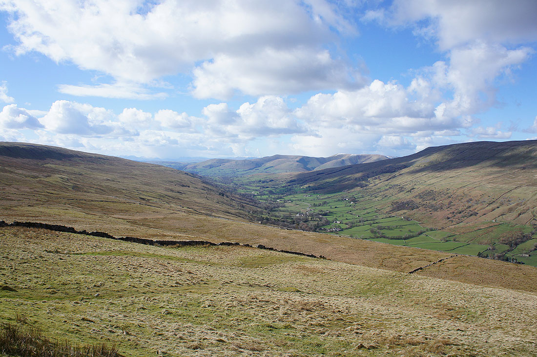
A last chance for a view to the north towards Garsdale Head
Through the gate for Dentdale
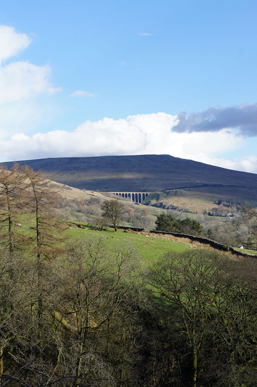
The Artengill Viaduct on the Settle to Carlisle line
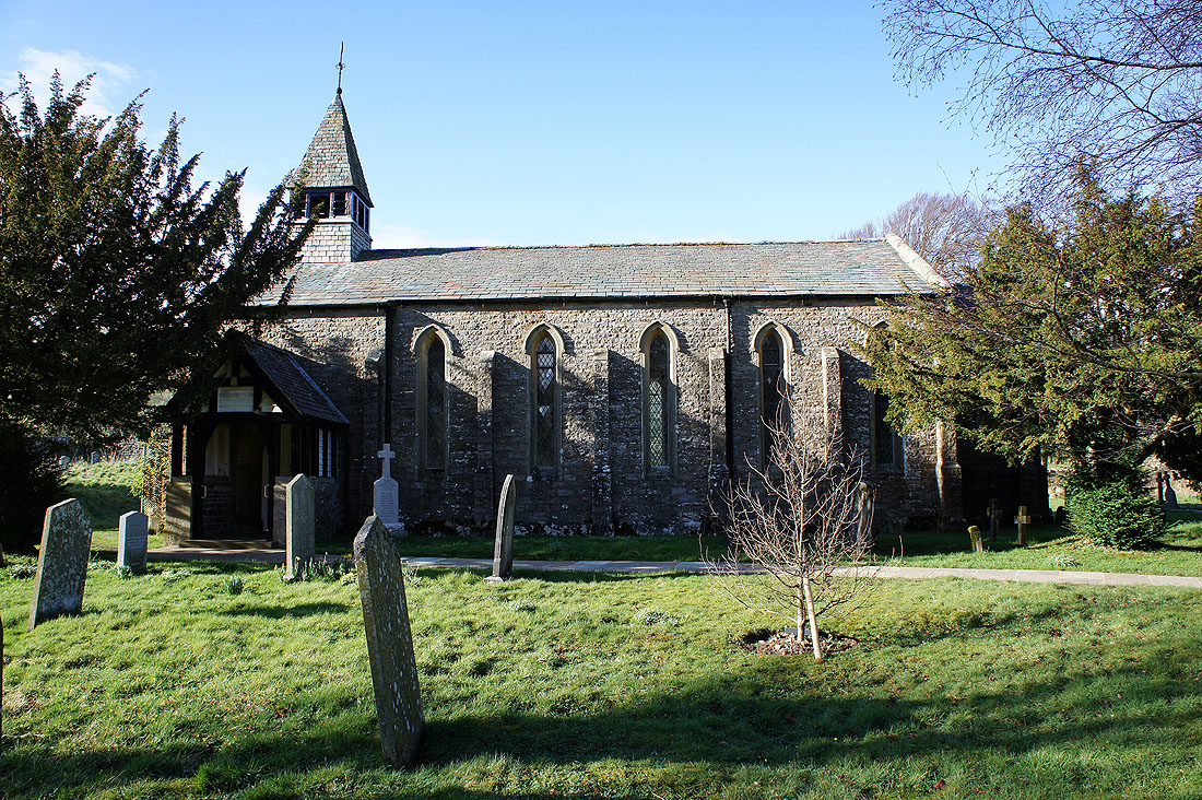
The church of St. John's the Evangelist in Cowgill
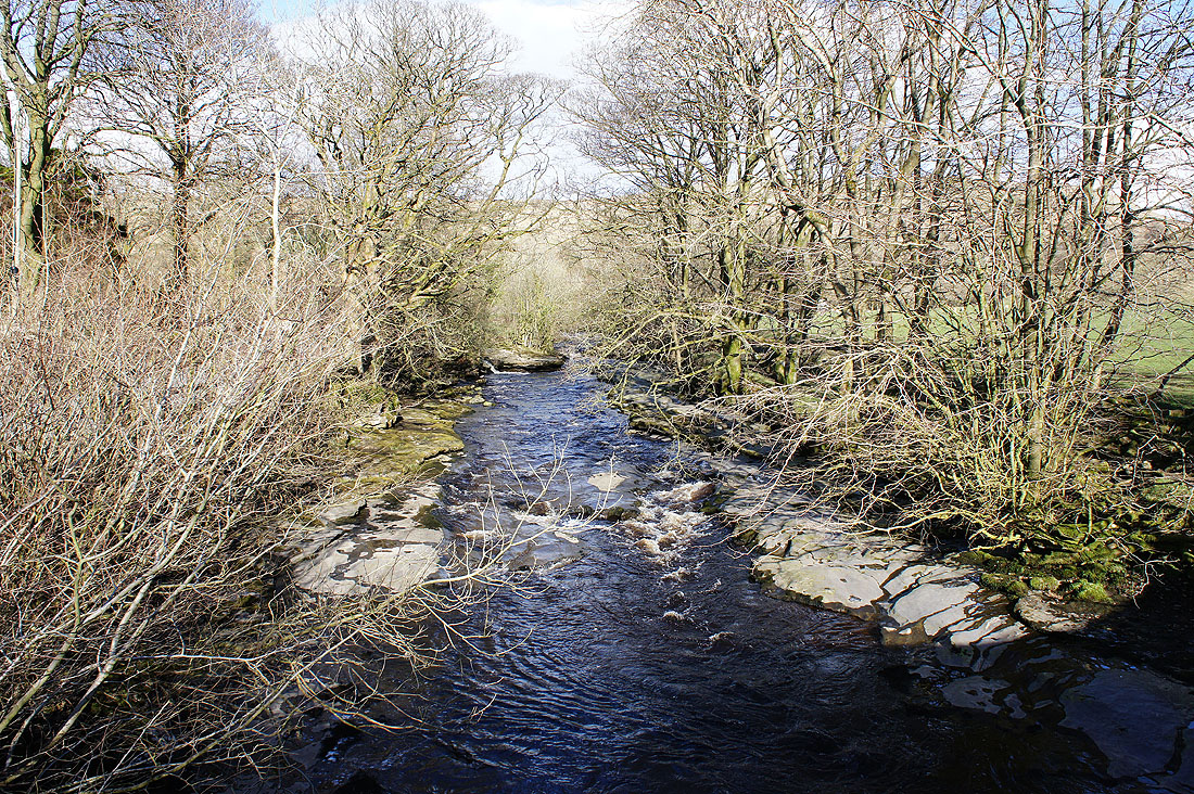
The River Dee from Ewegales Bridge. This is where I join the Dales Way, which I'll follow all the way back to Dent.
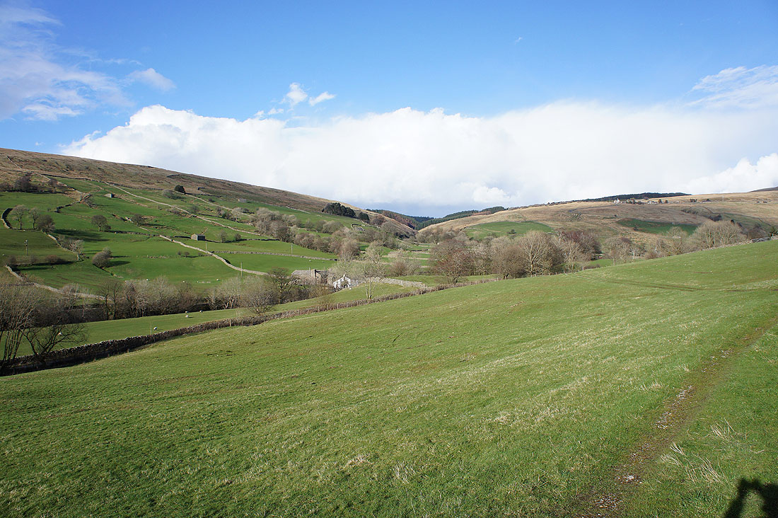
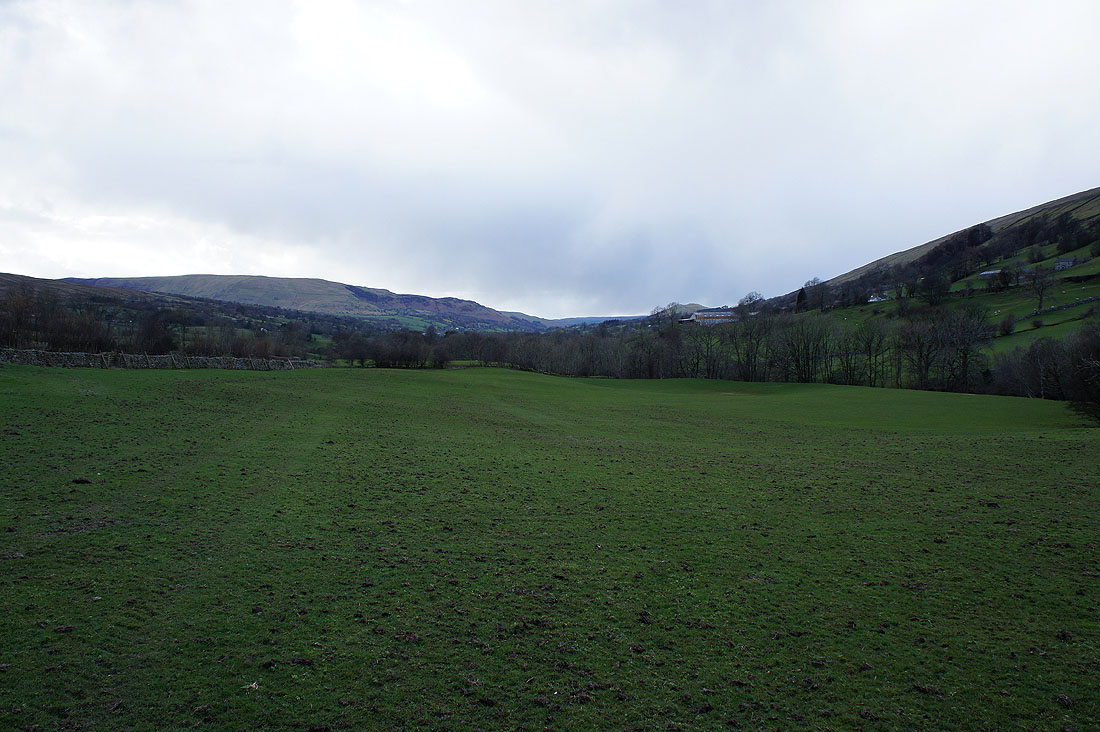
Looking across Dentdale to the valley of Cowgill Beck. My route down was across the hillside above the trees.
On the Dales Way..
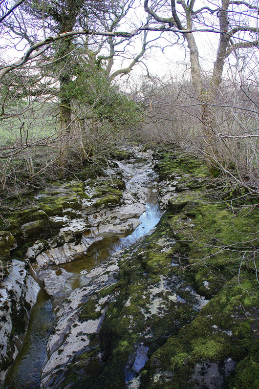
Crossing to the north side of the River Dee. It's gone to ground as it flows over limestone. A short way downstream the river returned to full flow through a succession of caves and upwellings.
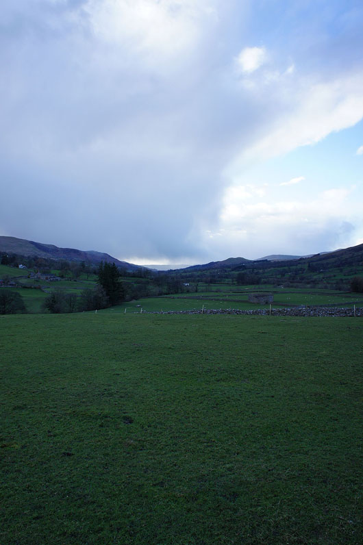
Crossing a field from the banks of the Dee to Deepdale Beck. It's quite gloomy with a number of showers about.
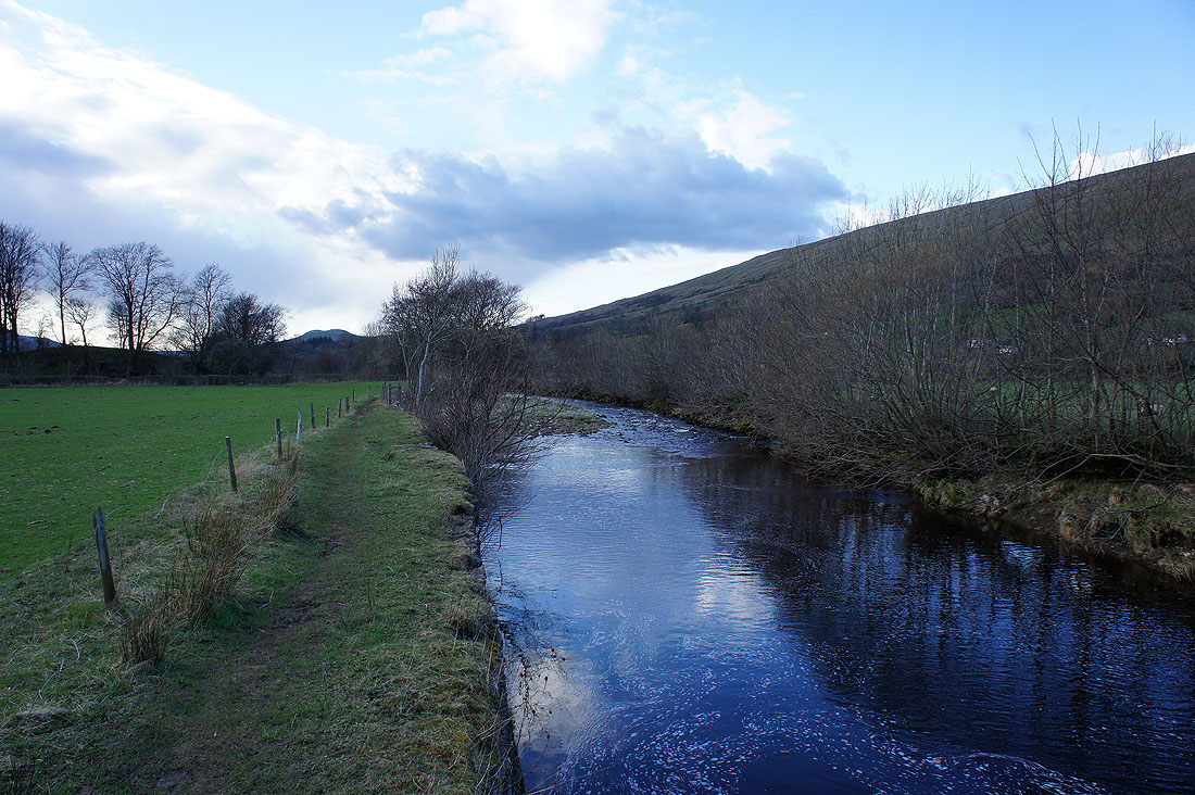
Next to the River Dee again. Not far to go to Dent.
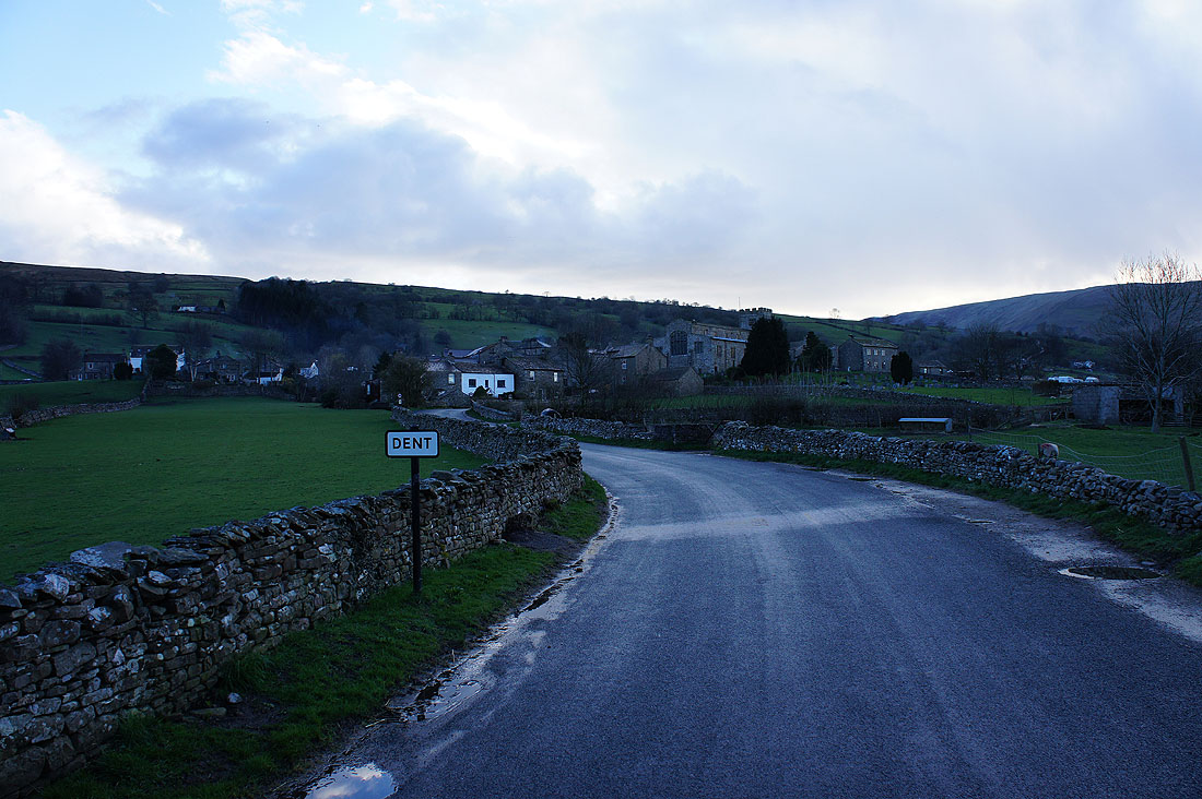
Back in Dent
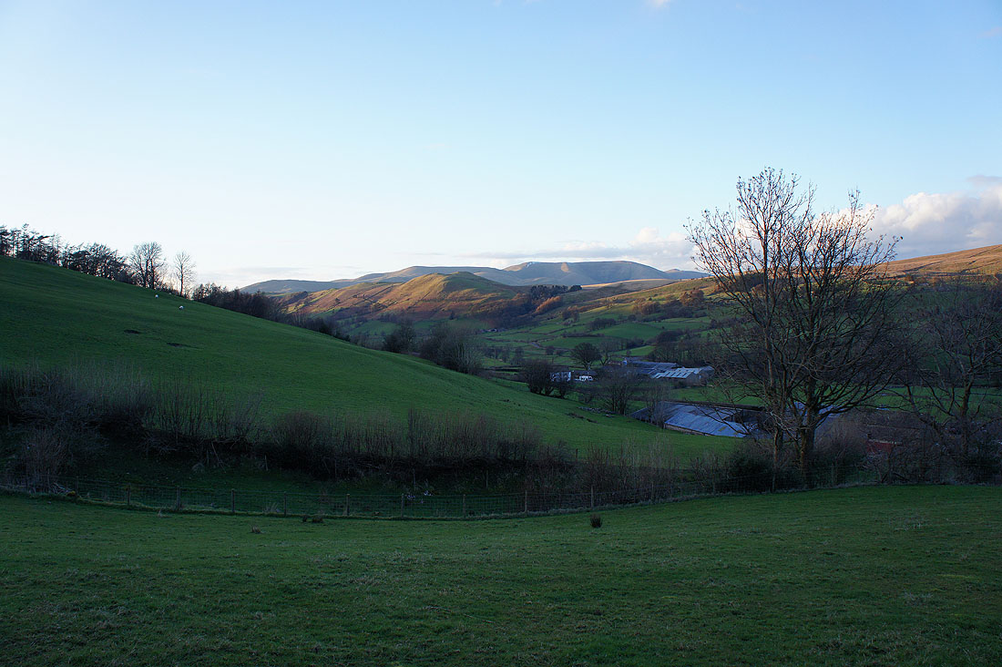
I was heading home up the road from Dent through Barbondale to Barbon when I saw the setting sun on the Howgills. I had to stop and take a picture.
