23rd May 2010 - Helvellyn
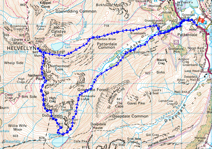
Walk Details
Distance walked: 10.0 miles
Total ascent: 3357 ft
OS map used: OL5 - The English Lakes, North-eastern area
Time taken: 6 hrs
Route description: Patterdale-Grisedale Bridge-Grisedale-Hole in the Wall-Striding Edge-Helvellyn-Nethermost Pike-Dollywagon Pike-Grisedale Tarn-Grisedale-Patterdale
Helvellyn by Striding Edge from Patterdale. Return by Nethermost Pike, Dollywagon Pike and Grisedale.
Route map
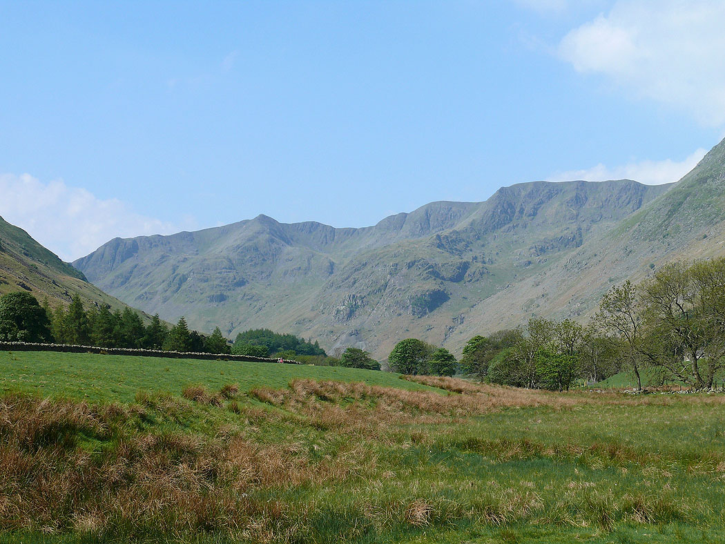
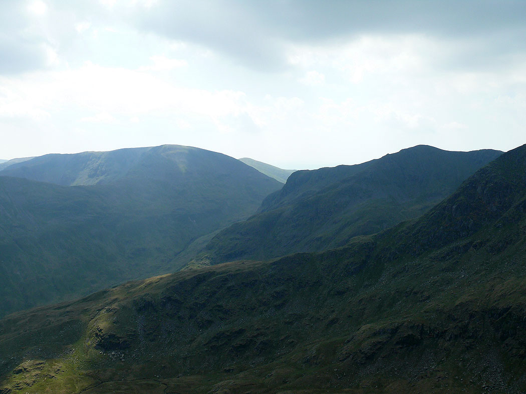
A view up Grisedale to Dollywagon Pike and Nethermost Pike
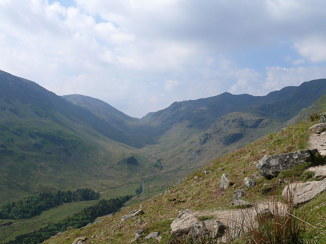
Grisedale from the path up to the hole in the wall
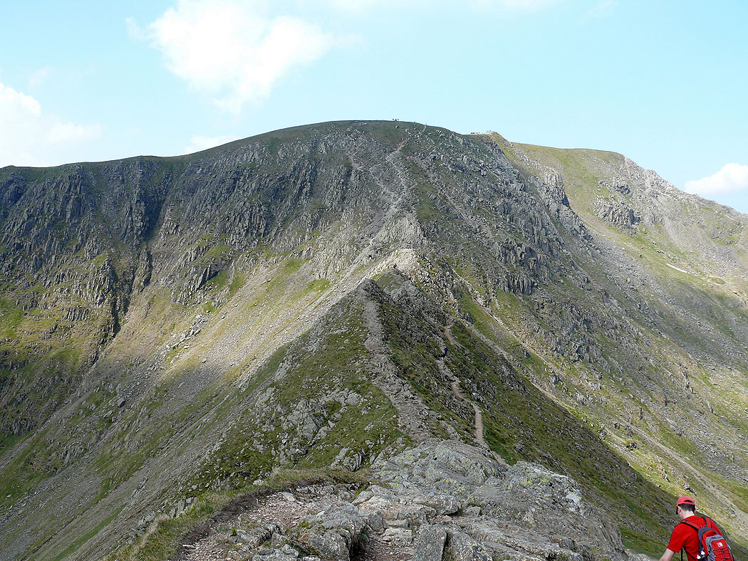
On Striding Edge
A view from Striding Edge across to Fairfield and Dollywagon Pike
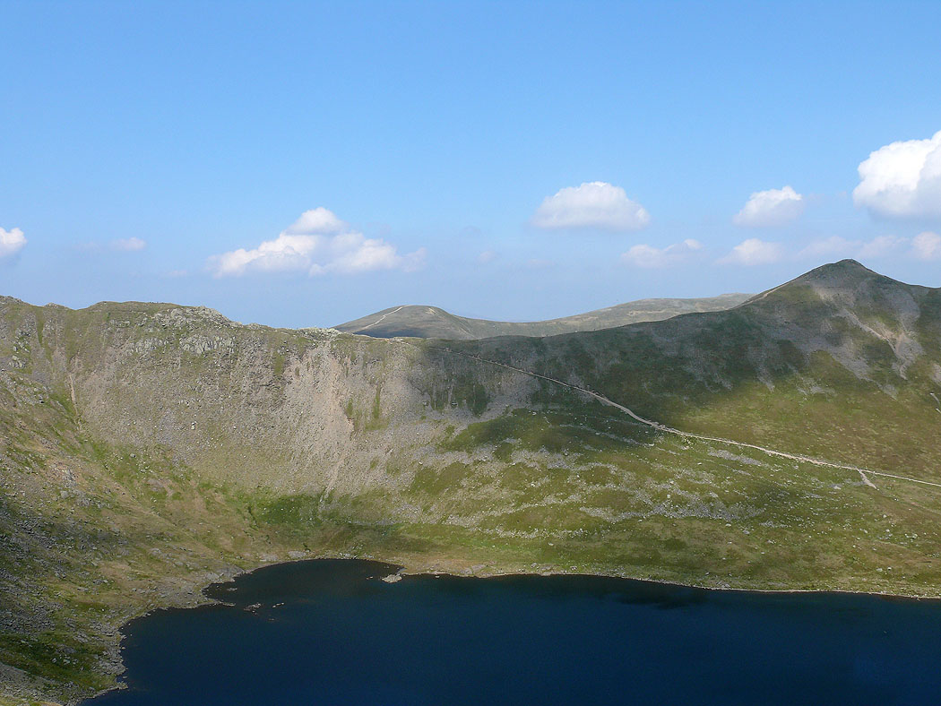
Swirral Edge and Catstycam across Red Tarn
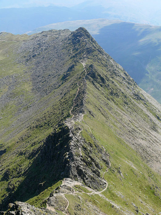
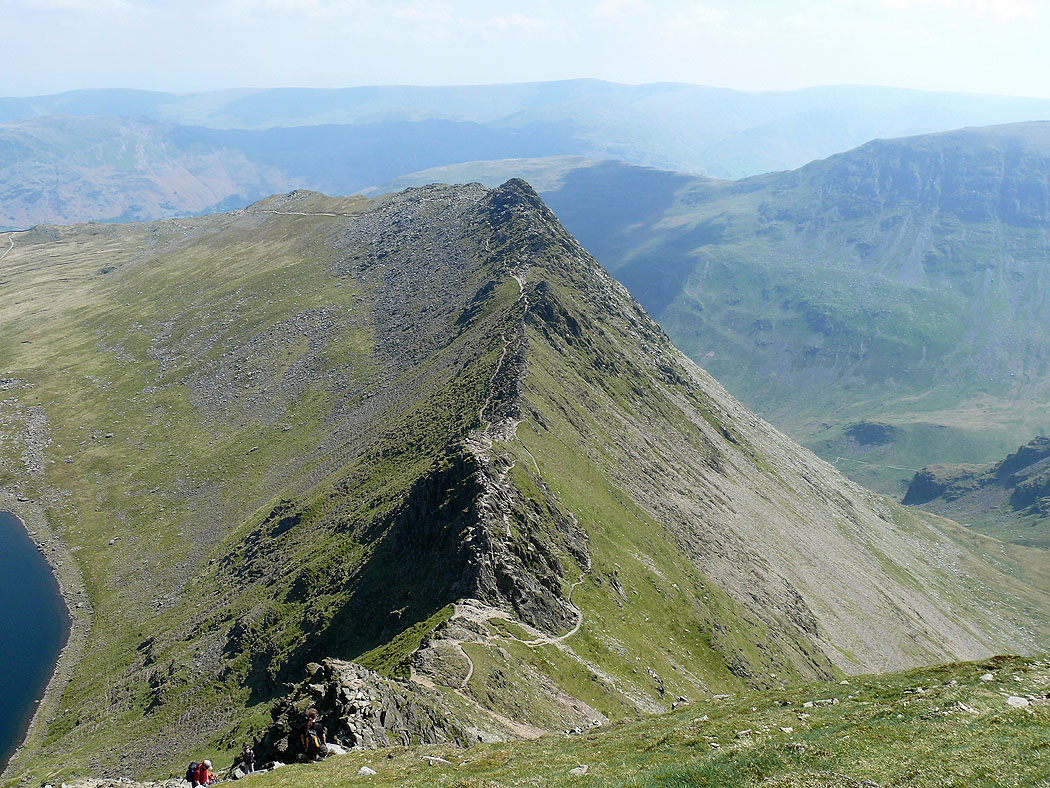
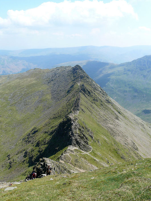
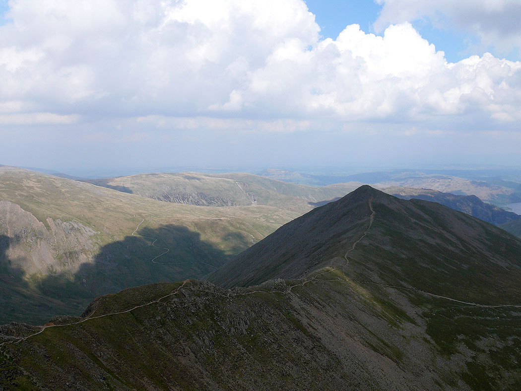
Striding Edge...
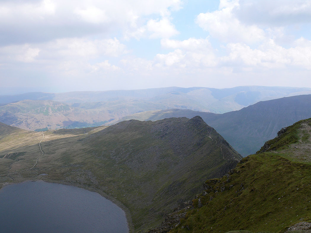
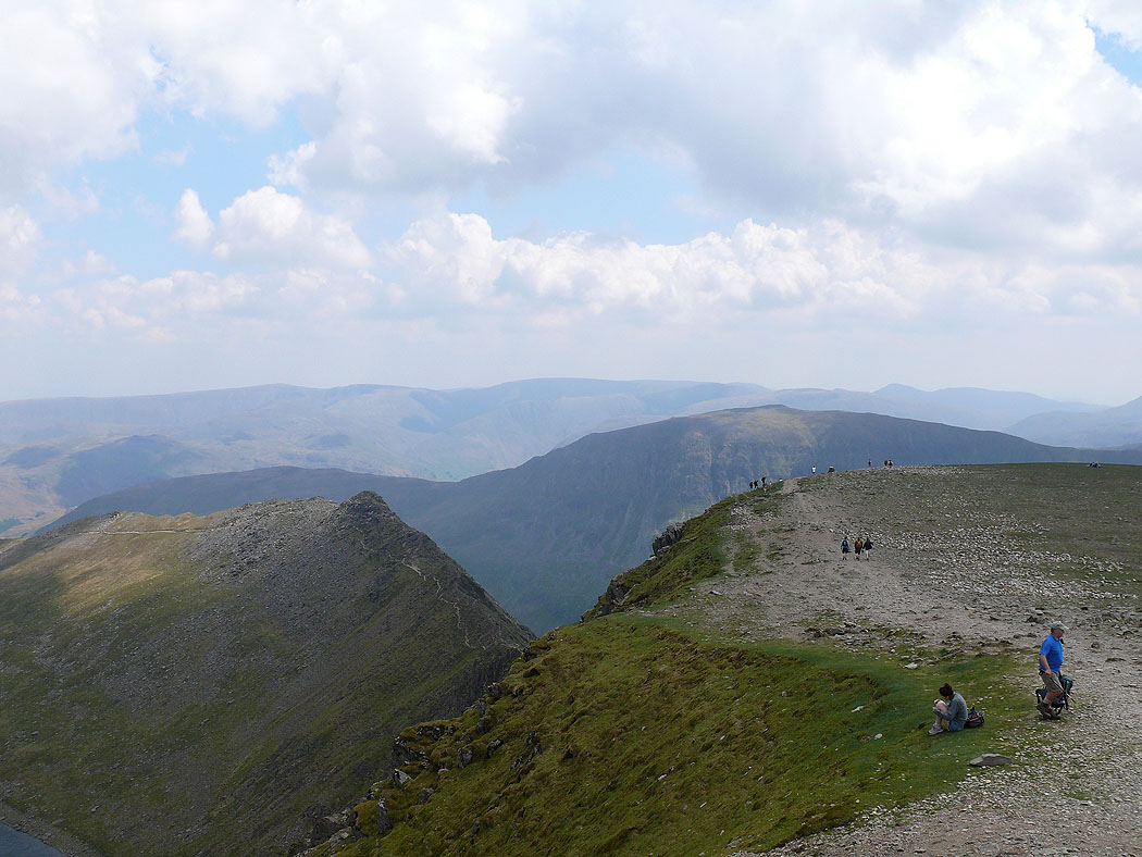
Red Tarn, Striding Edge and the far eastern fells in the distance from Helvellyn
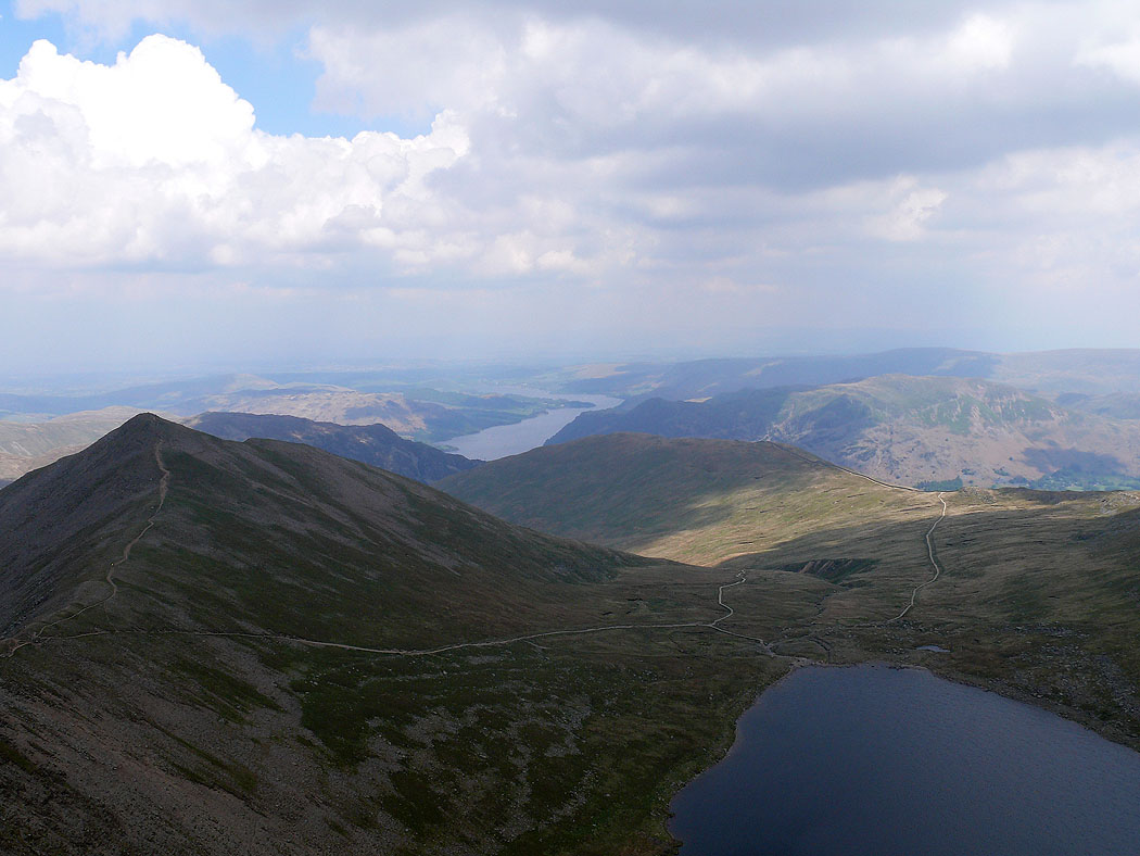
Catstye Cam, Ullswater and Birkhouse Moor
The view north over Swirral Edge to Whiteside and Raise
Swirral Edge and Catstye Cam
A view from Helvellyn across to the far eastern fells
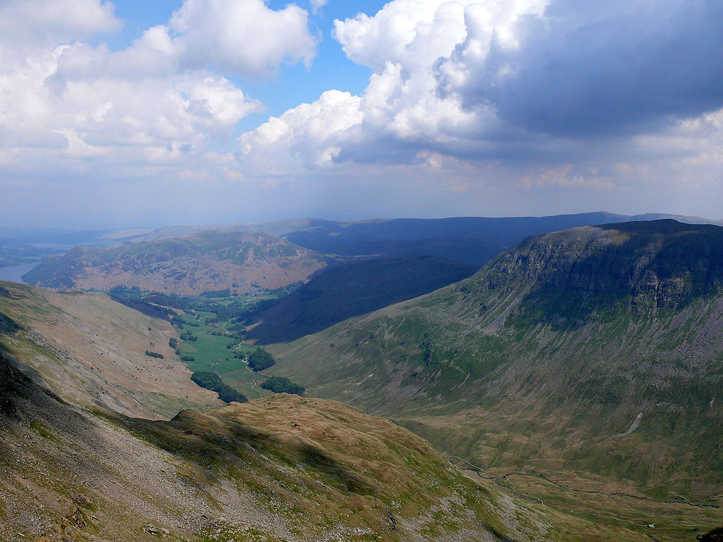
The view down Grisedale from Nethermost Pike
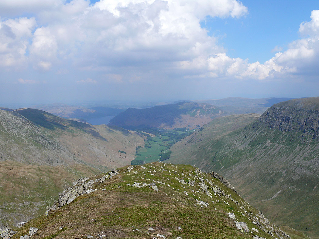
On Dollywagon Pike. Down Grisedale to Place Fell.
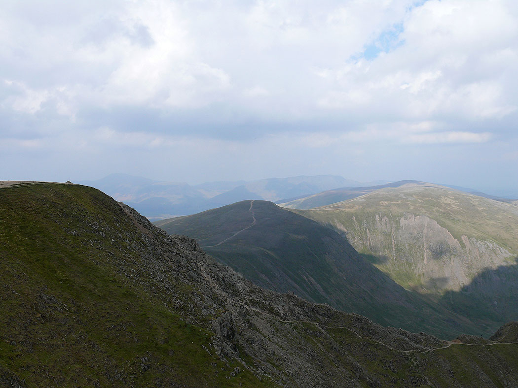
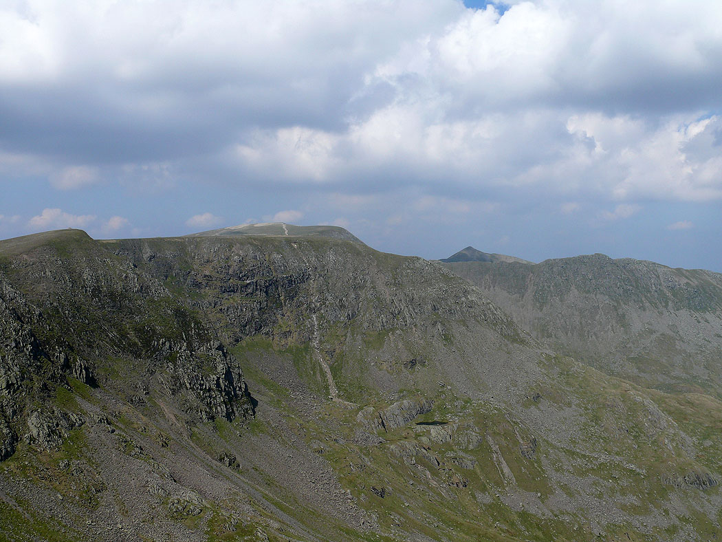
Nethermost Pike with the pointed top of Catstye Cam to the right
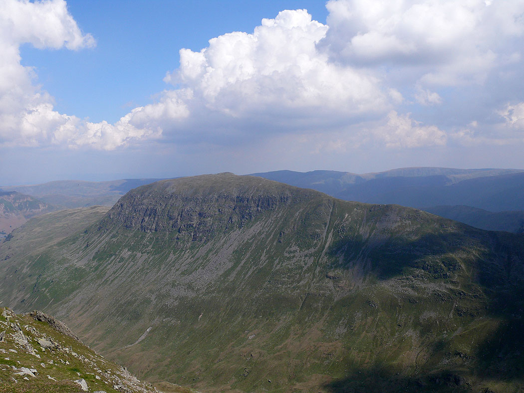
St. Sunday Crag from Dollywagon Pike
