23rd May 2015 - A Saddleworth Circular
Walk Details
Distance walked: 8.7 miles
Total ascent: 1979 ft
OS map used: OL1 - The Peak District, Dark Peak area
Time taken: 6 hrs
Route description: Diggle-Diglea-Running Hill Head-Broadstone Hill-Slades Rocks-Shaw Rocks-Upper Wood Edge-Alderman's Hill-War memorial-Pobgreen-Huddersfield Narrow Canal-Lark Hill-Harrop Edge Lane-Carr-Diggle
So much for the sunshine that was forecast for this morning. In fact it was positively grey and gloomy with the cloud sitting on the hills. I didn't want to change my planned walk for today so I decided to give it some time to brighten up. At this time of year the sun has plenty of strength for breaking up the cloud and warming things up. I arrived in Diggle at 1130 and set off in the hope of seeing the sun later in the day. It took a while but the second half of the afternoon had some lovely warm sunny spells.
I started the walk from the small car park on Sam Road in Diggle. Out of the car park and I turned right to head up Station Road and across the bridge over the railway line. I continued straight on past the Diggle Hotel and into the hamlet of Diglea. Here I turned right onto a bridleway that makes its way across fields and by Diggle Brook (it's tricky to cross) to reach a crossroads of tracks, where it was right then right again to follow a footpath under Broadstone Hill to Running Hill Head. I then made my way up Running Hill Lane and up the track to access land to finally reach the trig point on Broadstone Hill. After lunch was had it was time to head south down the ridge, past Slades Rocks and Shaw Rocks, then across to Upper Wood Edge to finish on Alderman's Hill. Next stop was the war memorial on the western edge of the hill before following the path down along the edge of access land to reach Pobgreen. Behind St. Chad's church is a track, this took me downhill then a path right uphill brought me to a lane and the Pennine Bridleway. I was on the Pennine Bridleway for the briefest of moments, a footpath was taken down to and under the railway line below to the Huddersfield Narrow Canal. After crossing the canal I followed a path across a couple of fields and then across a couple of roads and up onto Harrop Edge. I then walked up Harrop Edge Lane to a crossroads of tracks, where a right turn was taken to head downhill and across the A670 to the hamlet of Carr. A walk along Carr Lane and Harrop Green Lane took me back to Diggle.
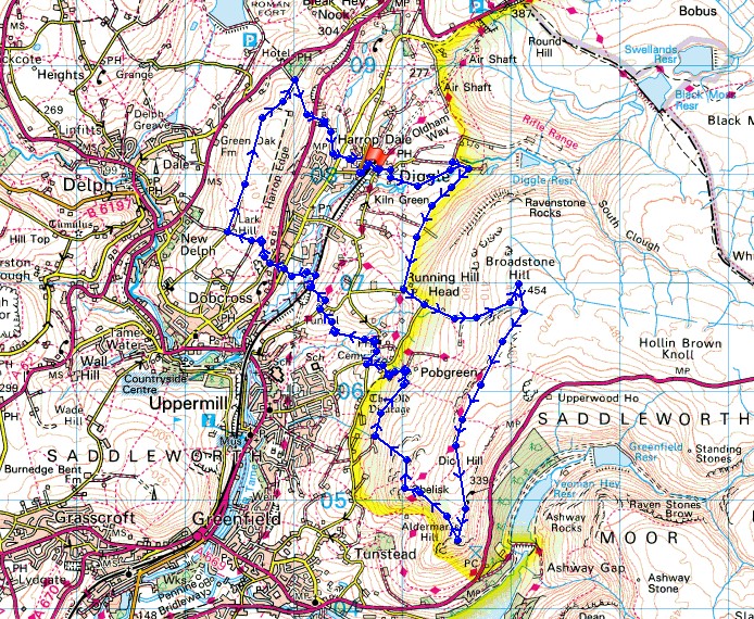
Route map
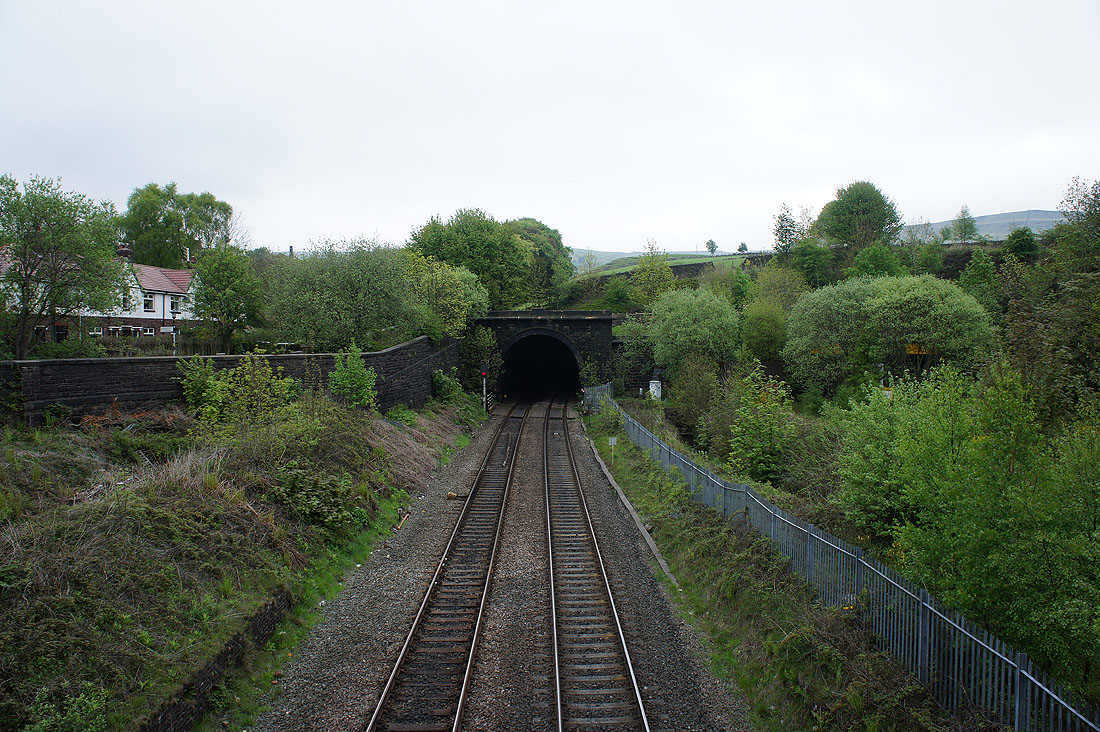
Crossing the railway line to Marsden as it heads into the Standedge Tunnel
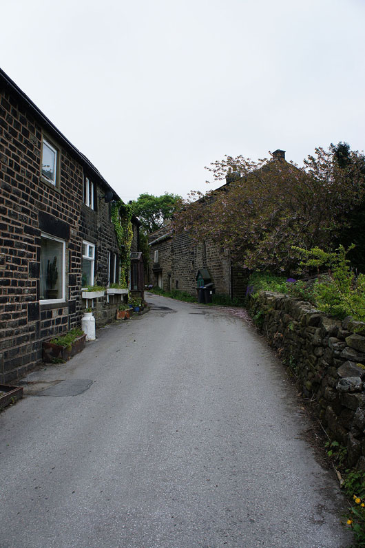
Passing through the hamlet of Diglea
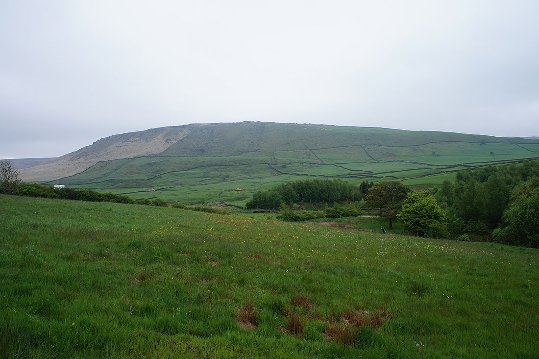
Broadstone Hill
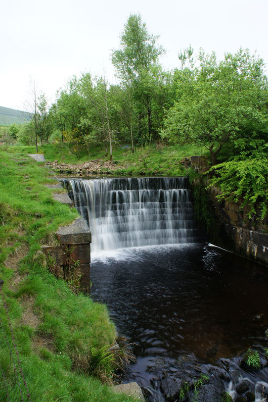
A nice little weir on the brook the bridleway is following
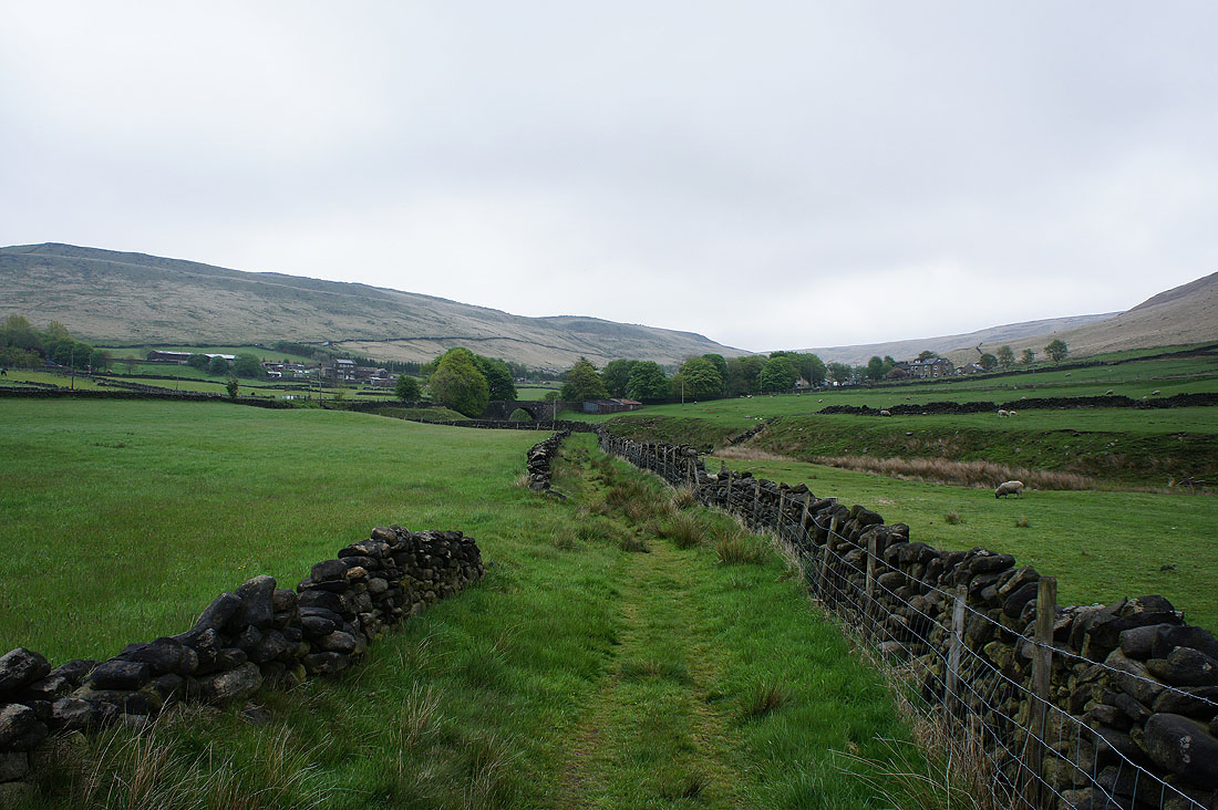
The valley ahead contains Diggle Reservoir and a rifle range, which seems to be seeing some action. I'm going to turn right though and head under Broadstone Hill.
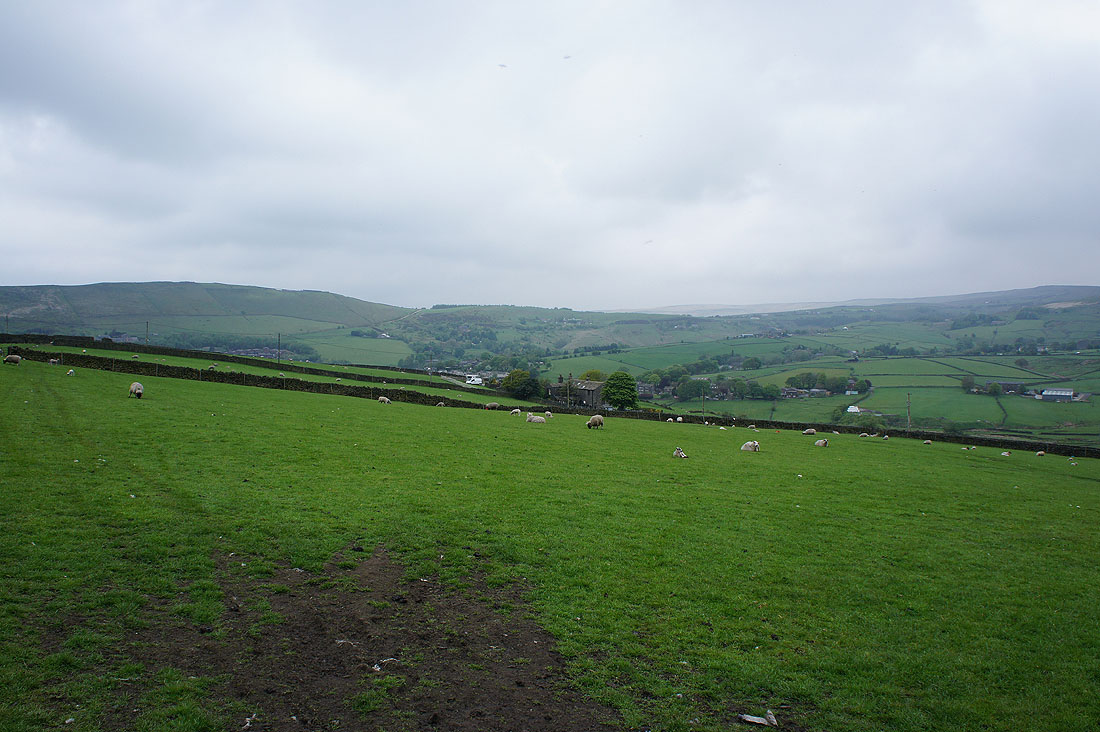
Looking back towards Diggle
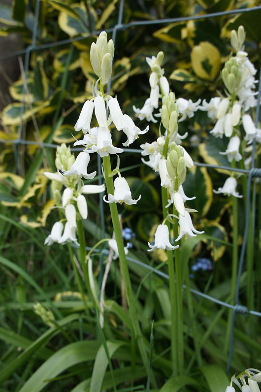
White bluebells
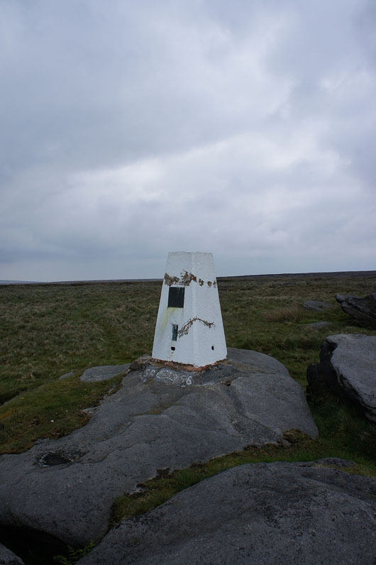
Arrival at the trig point on Broadstone Hill
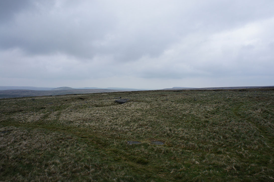
To the north Pule Hill and the moors around the Colne Valley
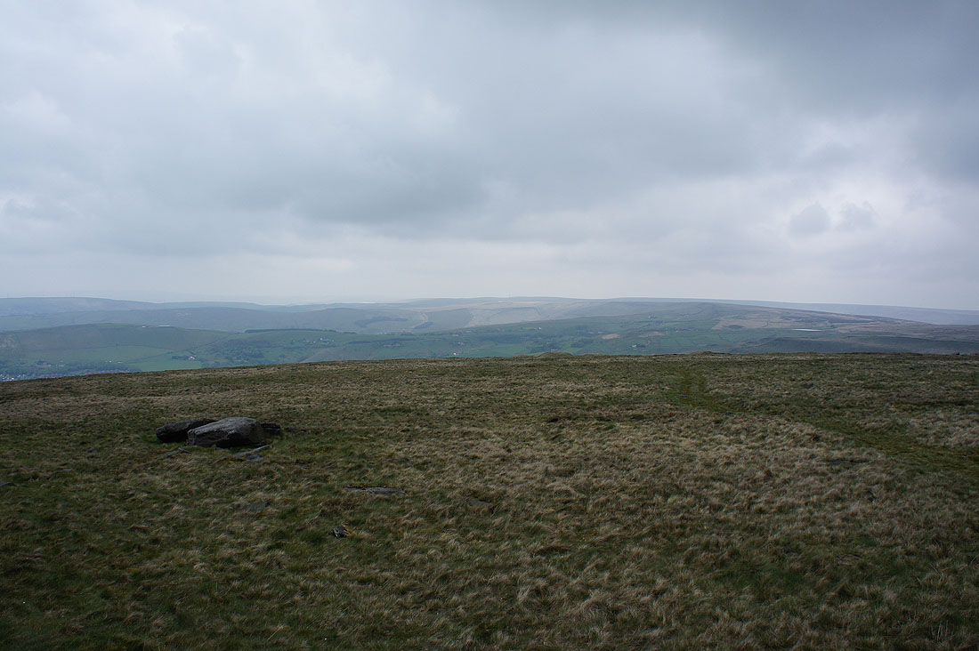
To the northwest Standedge and the moors of the watershed
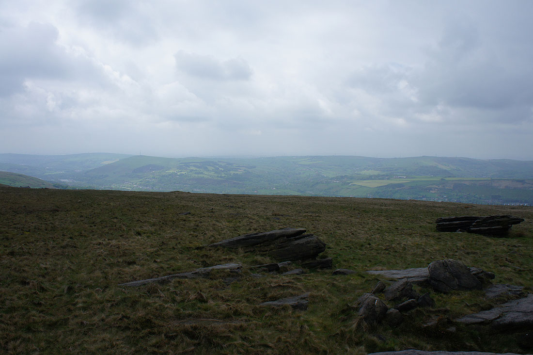
and finally the hills around Saddleworth to the west. It looks like it might be brightening up at last.
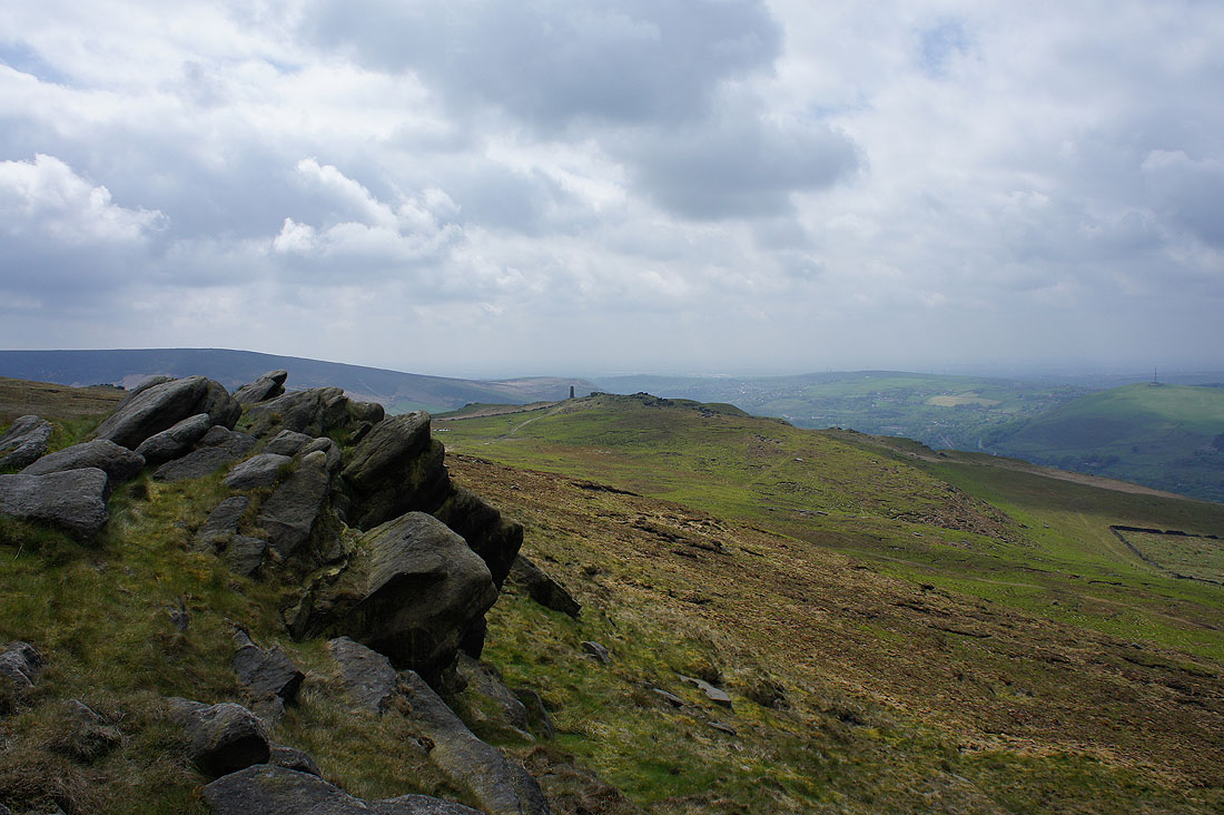
On Shaw Rocks and I can see the war memorial at the end of the ridge
Looking across to the hills around Uppermill
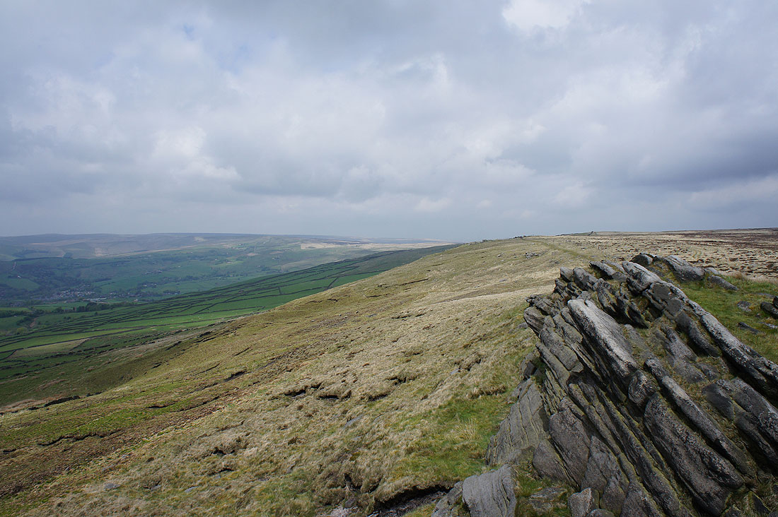
and back up the ridge to the slopes of Broadstone Hill
After crossing to the other side of the hill I'm on Upper Wood Edge and heading for Alderman's Hill
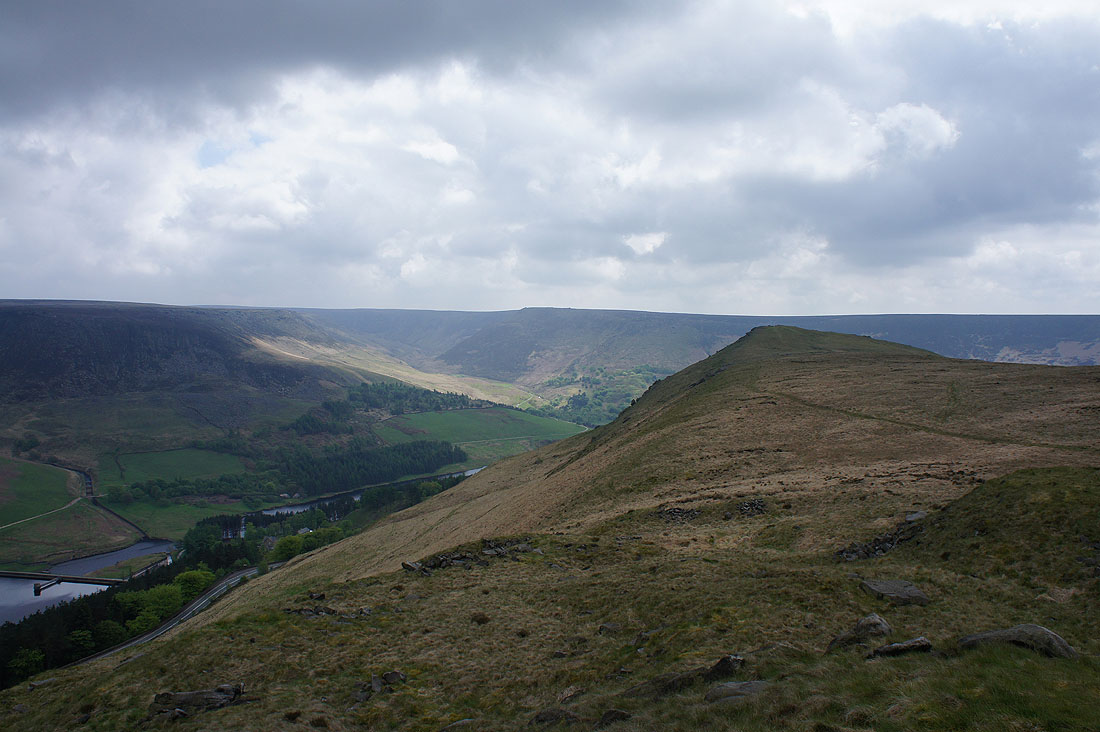
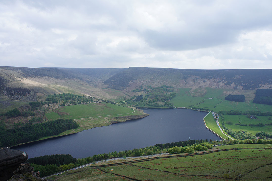
On Alderman's Hill and there are great views across Dove Stone Reservoir to the Saddleworth Edges from here
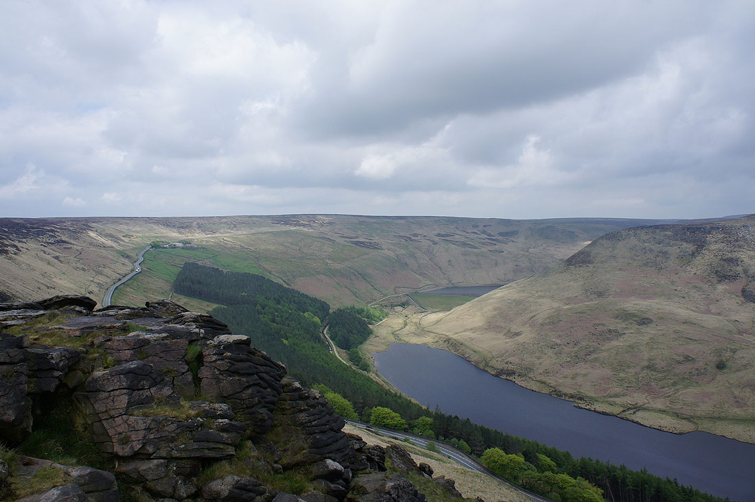
and up past Yeoman Hey and Greenfield Reservoirs to Saddleworth Moor. The road across to Holmfirth is just below.
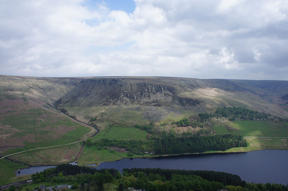
Great Dove Stone Rocks lit up by the sun
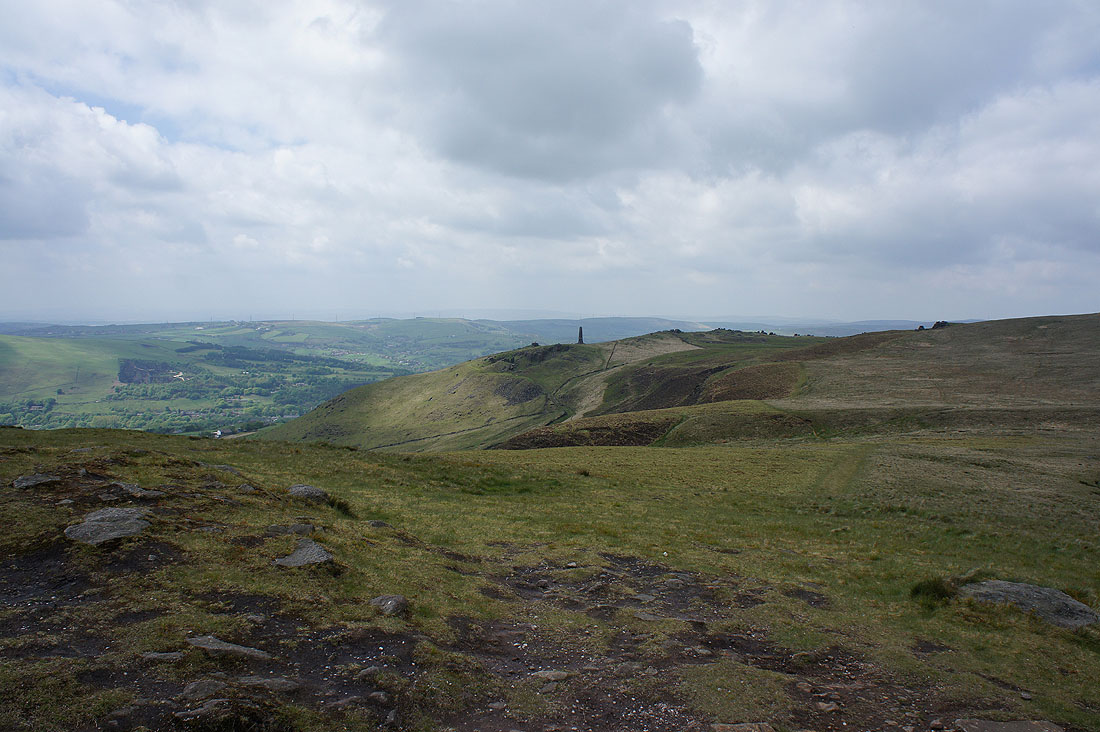
After having my lunch its time to head across to the western edge of the hill
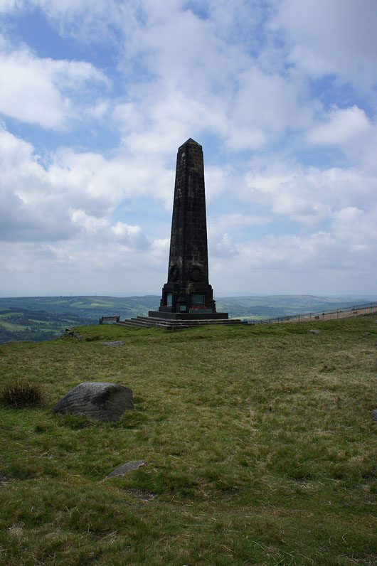
To the obelisk that is Saddleworth's war memorial
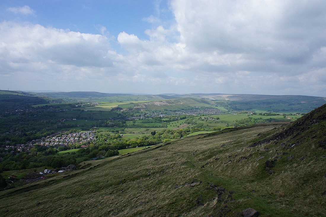
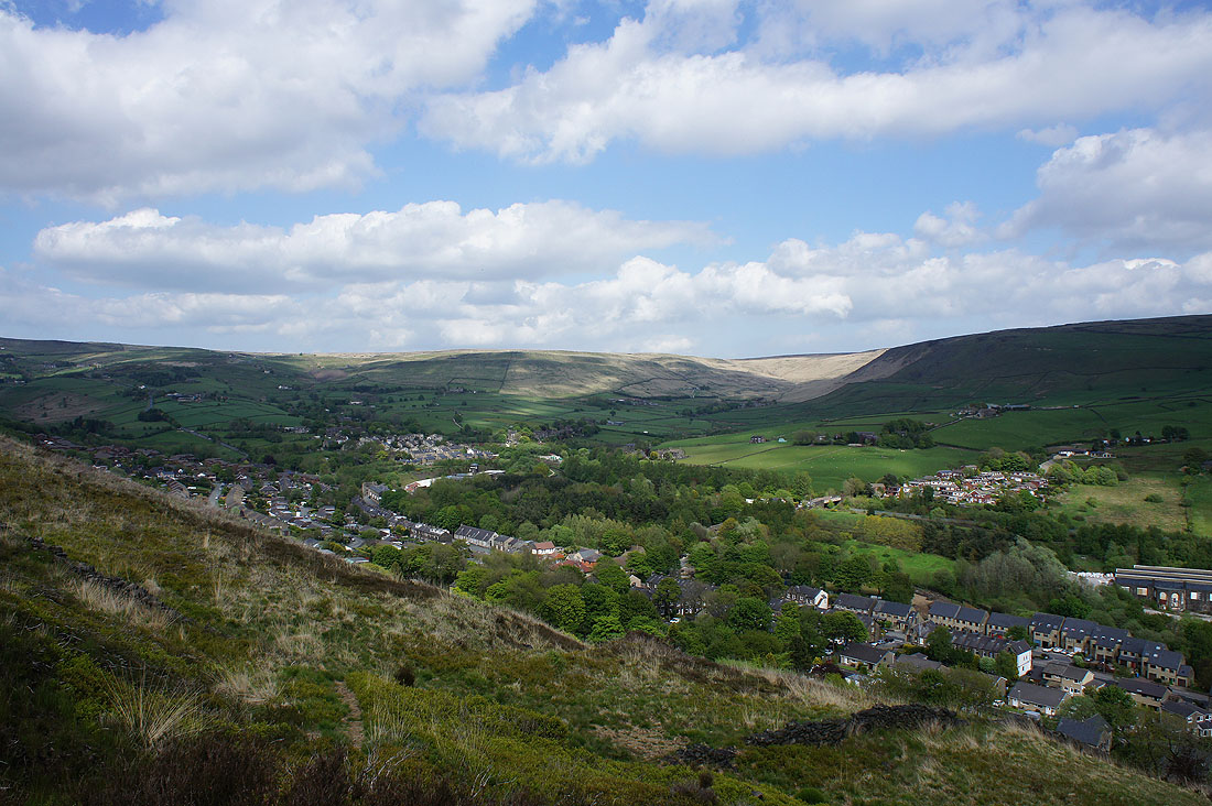
More and more in the way of blue skies as I make my way down. I'm heading for the hill of Harrop Edge, in the middle of the photo. The village of Diggle is strung out below it.
Greenfield below
Just above Pobgreen and its now a lovely afternoon
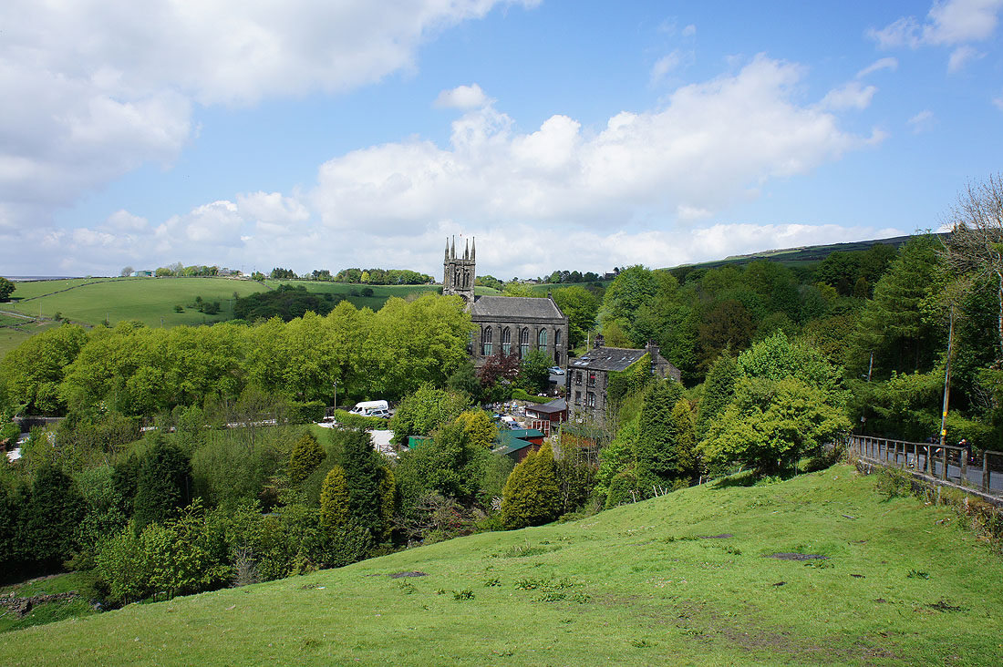
The hamlet of Pobgreen and its imposing church, St. Chad's
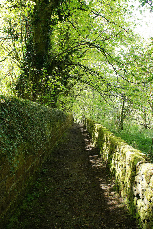
Behind St. Chad's is this lovely track with the trees coming into leaf and then its briefly onto the Pennine Bridleway..
..before I head down into the valley below Harrop Edge..
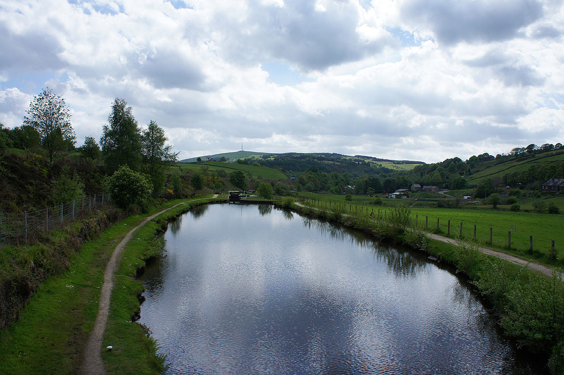
..to cross the Huddersfield Narrow Canal
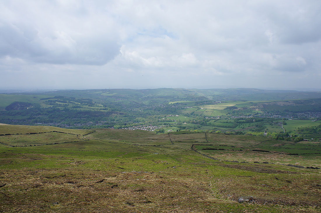
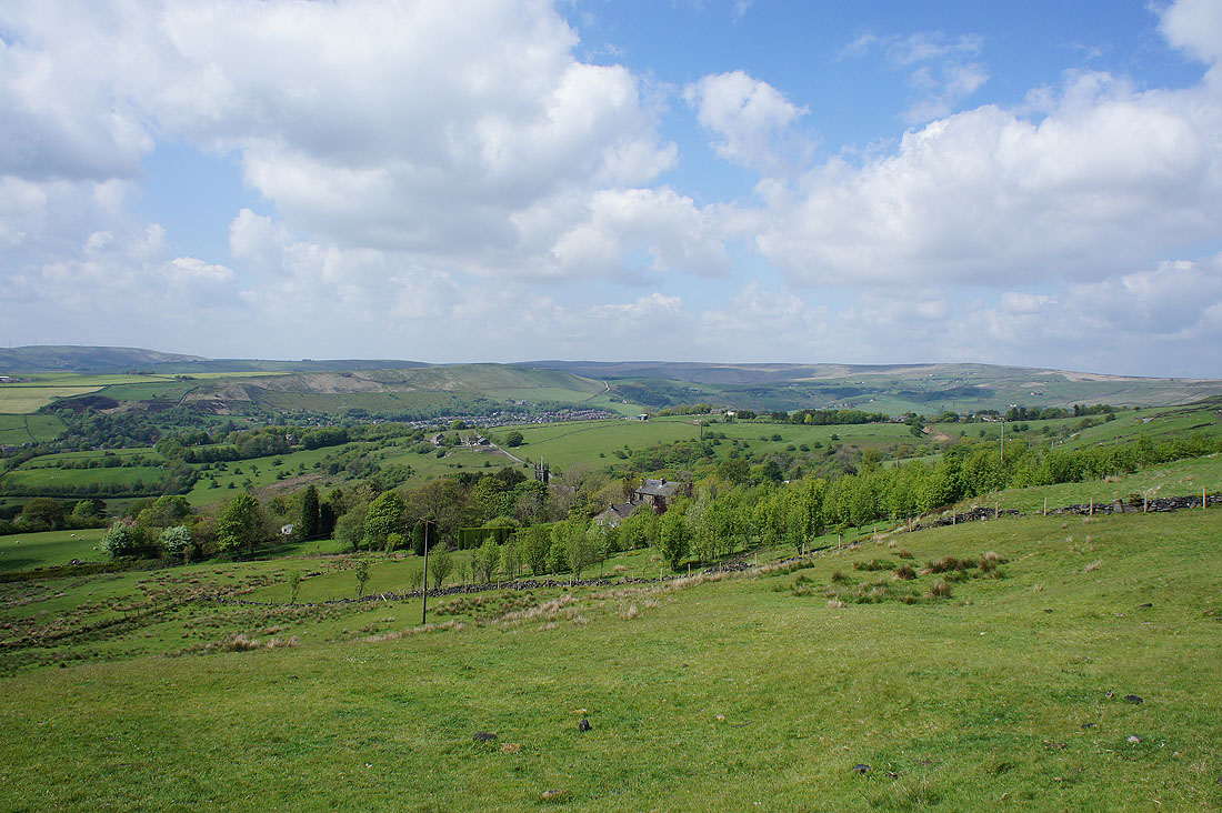
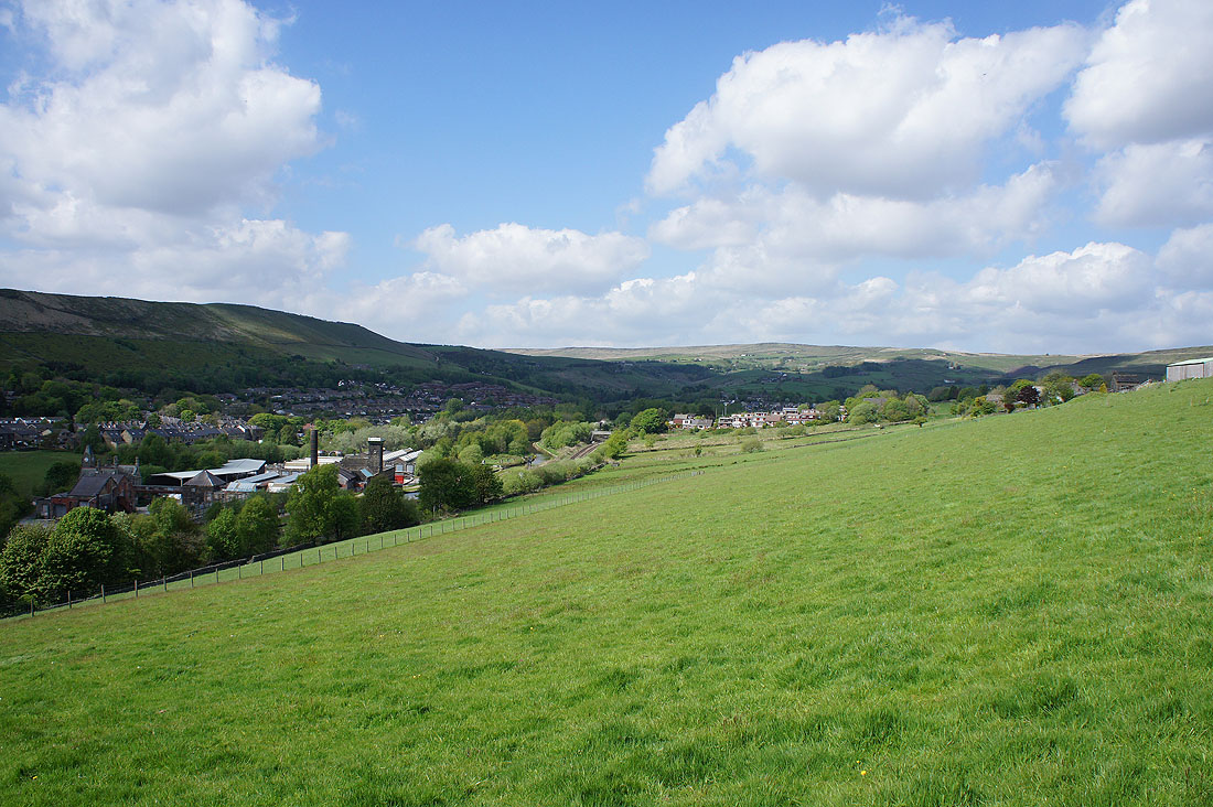
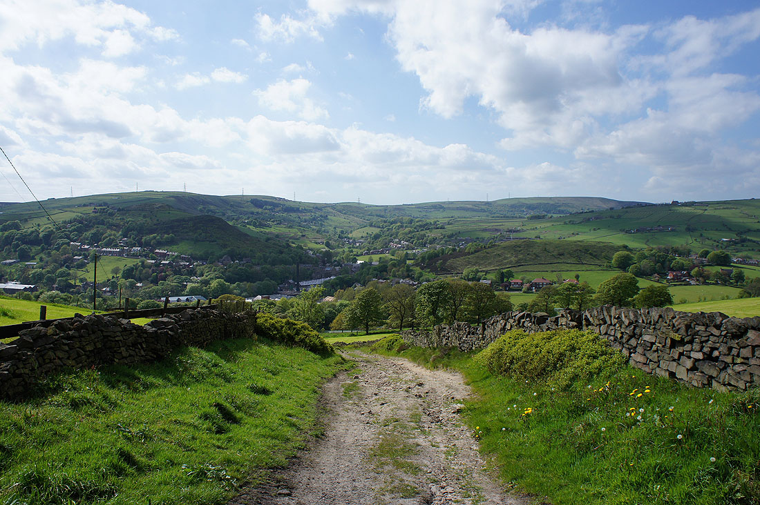
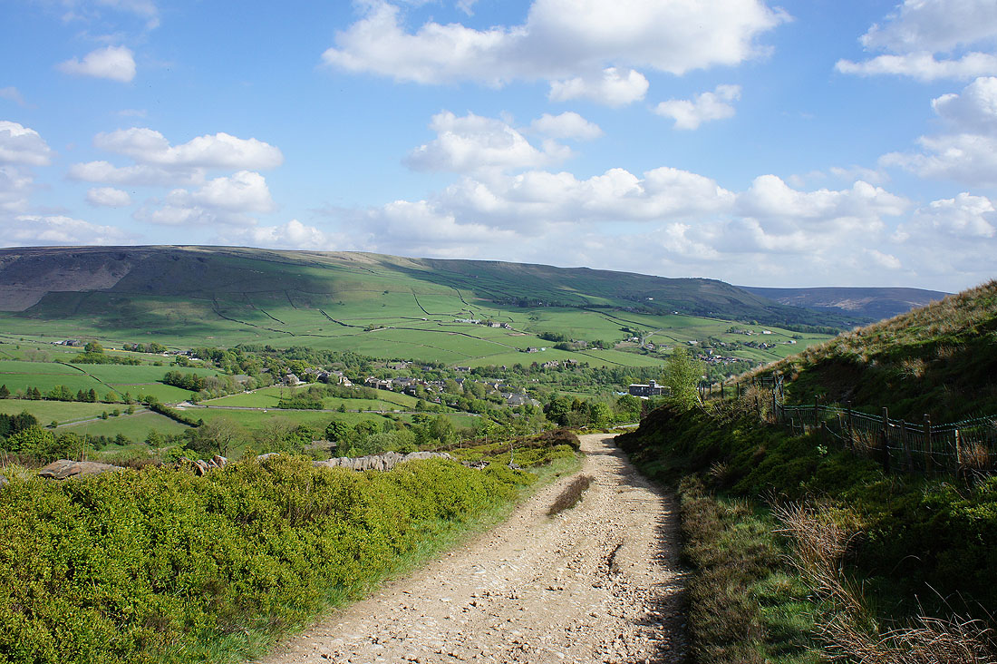
Diggle as I make my way up onto Harrop Edge
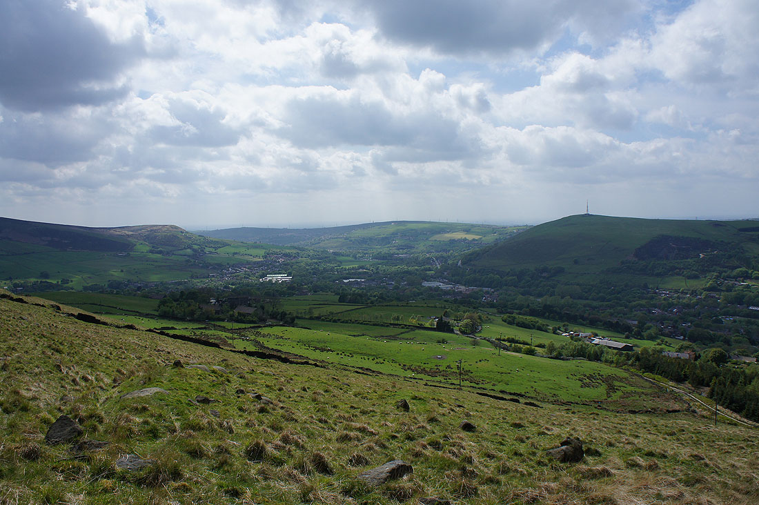
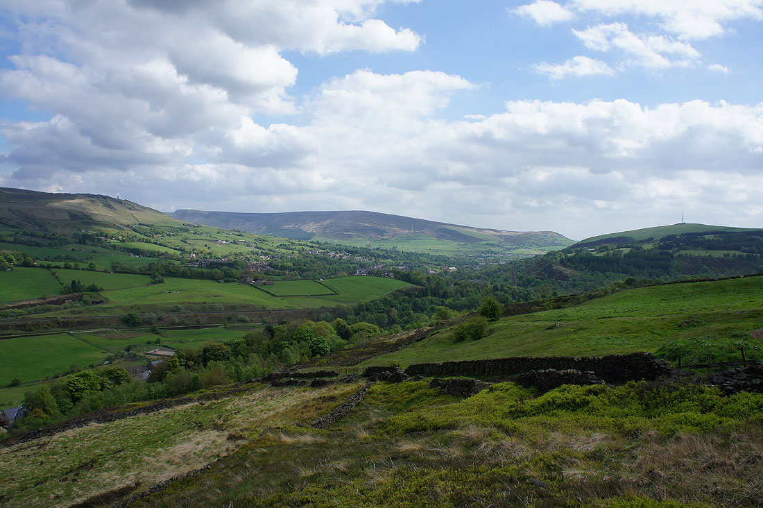
and looking down the valley past the slopes of Alderman's Hill to Alphin Pike
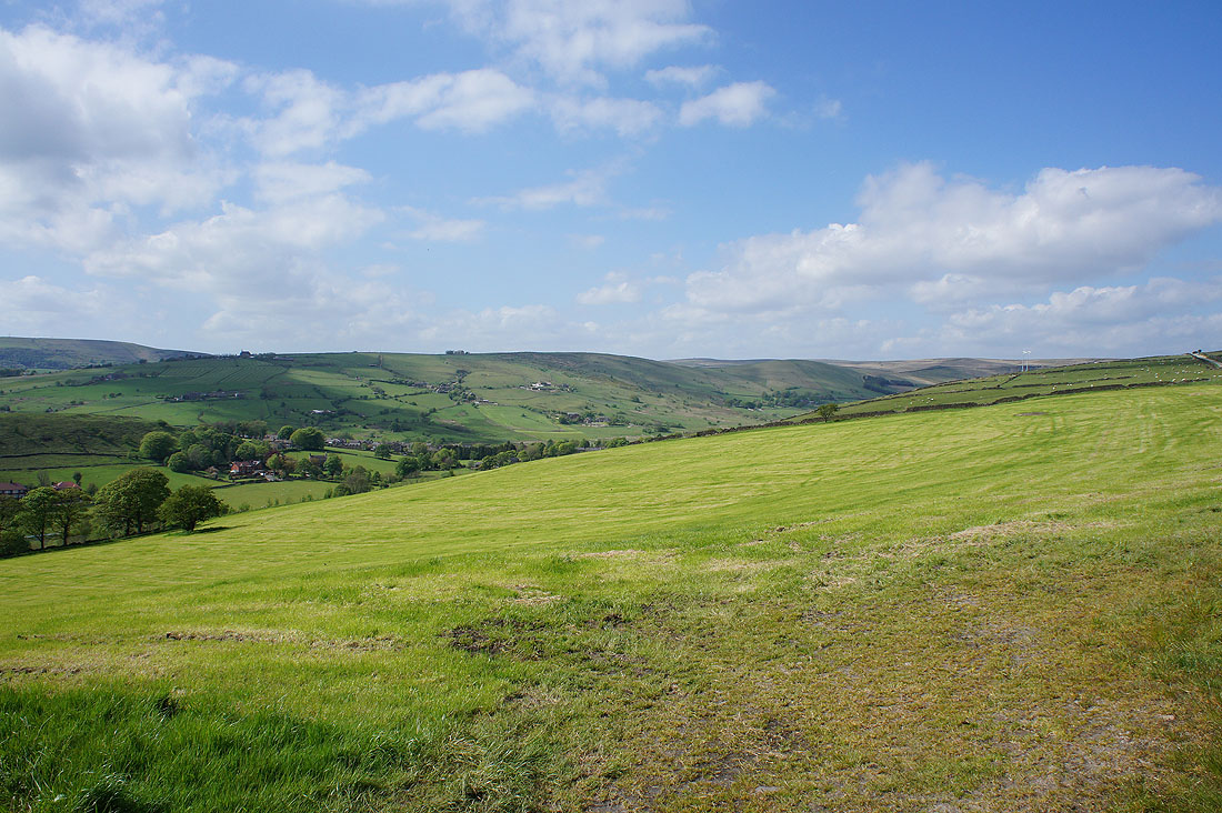
As I reach the top of the track I can see Delph below on the other side of Harrop Edge
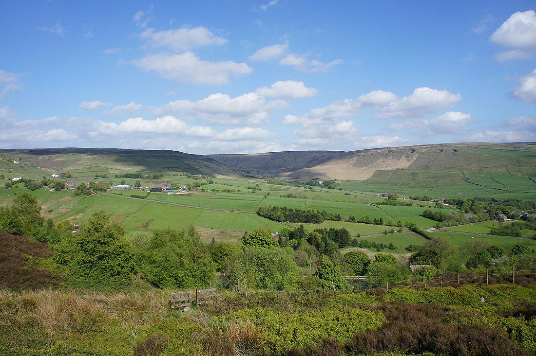
Looking across the valley of Hull Brook and the line of hills that heads up to Castleshaw Moor
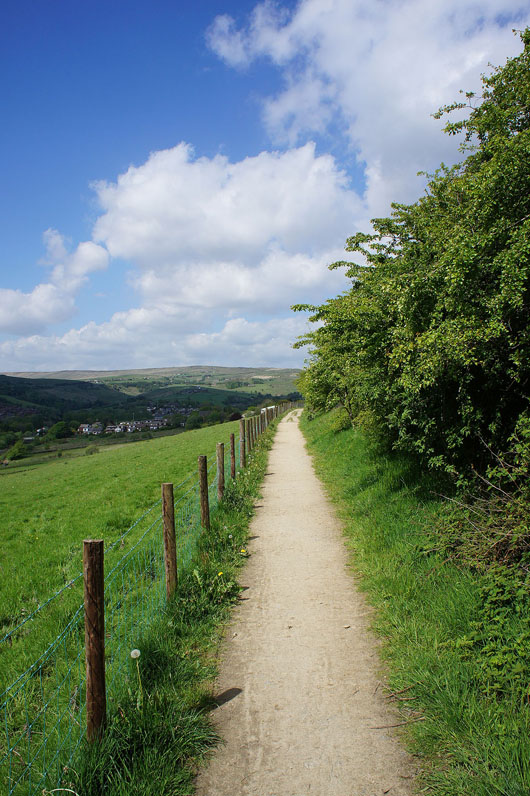
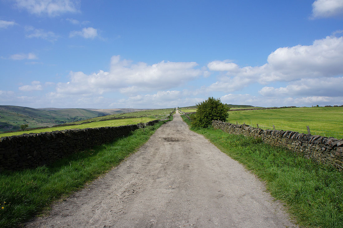
Great walking up the track of Harrop Edge Lane
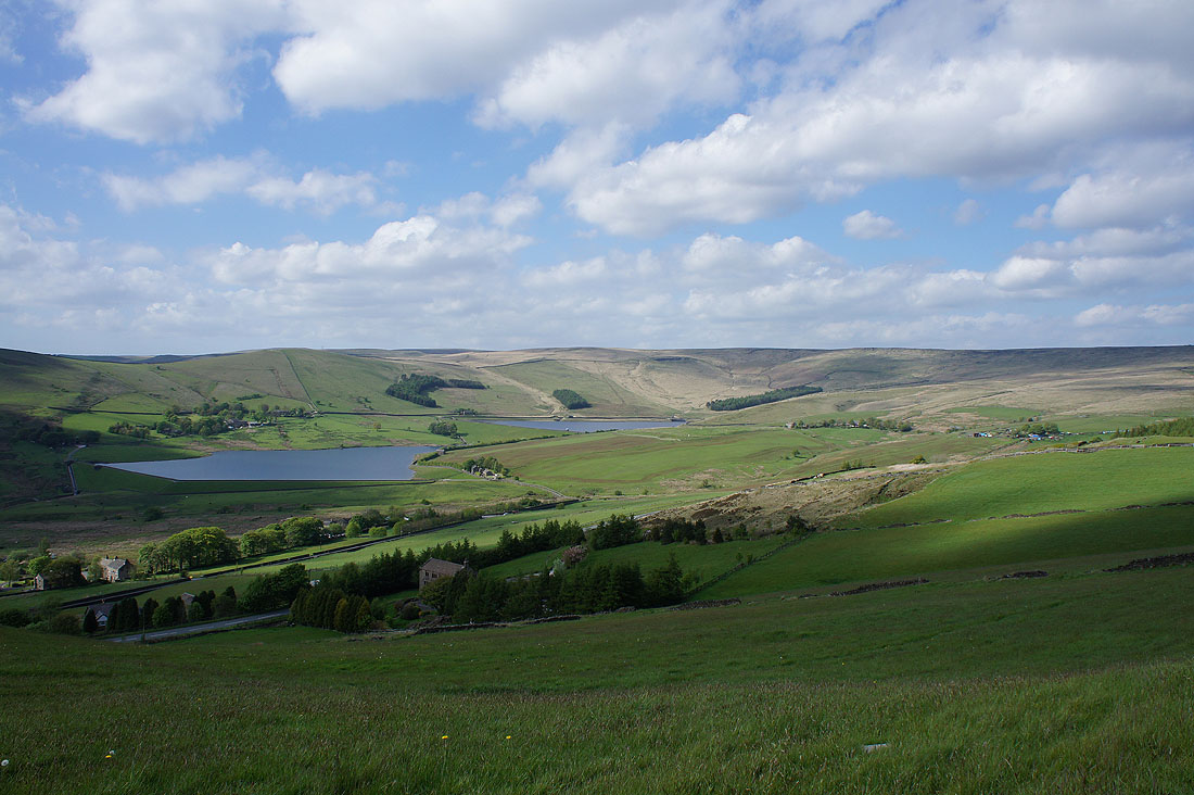
As I reach its top the Castleshaw Reservoirs and Castleshaw Moor come into view
and a bit further on, Bleak Hey Nook on the other side of the A62 and the the moorland of Standedge
Finally I'm heading back to Diggle. Down this track off the north end of Harrop Edge..
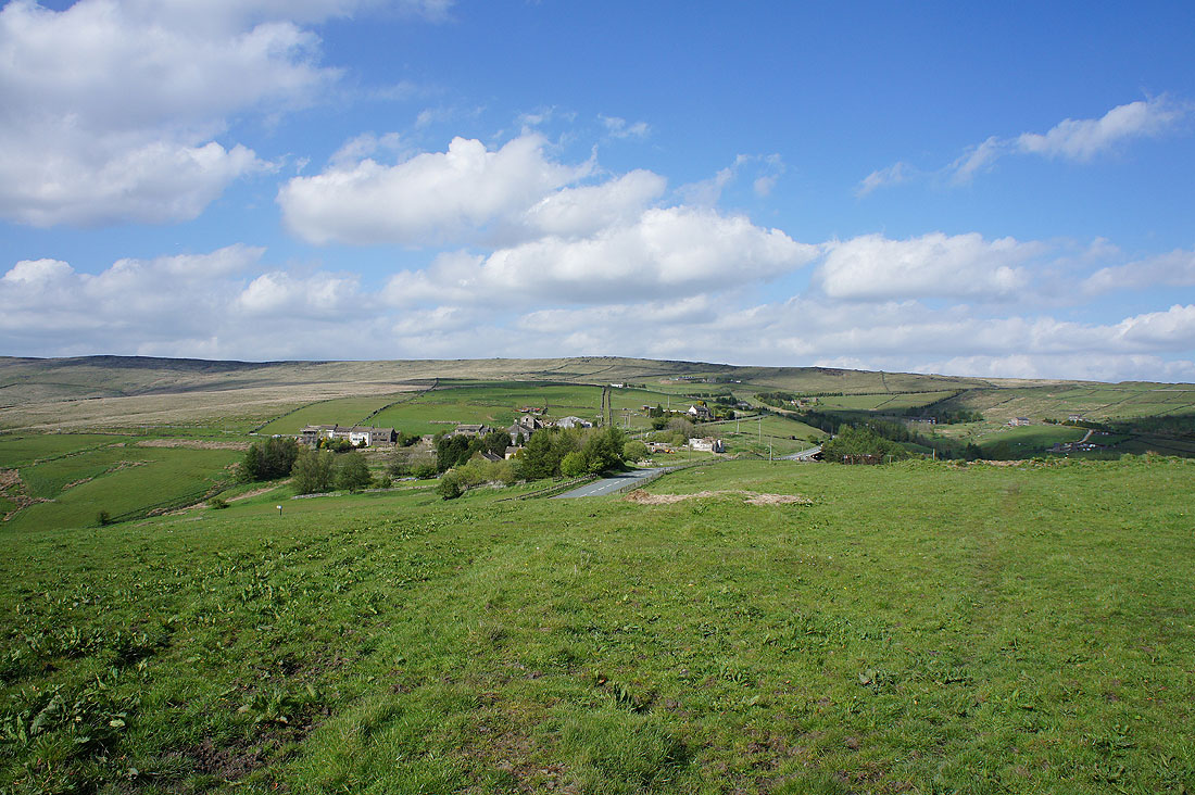
..and a footpath across the A670 to the hamlet of Carr and the lane to Diggle. Great view across to Higher Knoll and Broadstone Hill.
