23rd May 2016 - Barley to Blacko and back
Walk Details
Distance walked: 7.0 miles
Total ascent: 1179 ft
OS map used: OL21 - South Pennines
Time taken: 3.5 hrs
Route description: Barley-Pendle Way-Roughlee-Pendle Way-Water Meetings-A682-Beverley-Burnt House Farm-Blacko Hill Side-Brownley Park-Blacko-Blacko Water-Wheathead Lane-Black Moss Road-Black Moss Reservoirs-Barley
With a day off work booked and a fine day forecast I decided to pop out for a few hours in the morning and do a walk from nearby Barley. My drive to the Yorkshire Dales yesterday took me past some lovely fields full of buttercups around Blacko so I worked out a route that I could do from Barley that would take me to see them. I set off with plenty of sunny spells around and although the cloud built up through the morning I didn't have to wait too long while I was in Blacko for the sun to come back out and make those fields look great. A late lunch was taken afterwards in The Cabin at the picnic site in Barley.
From the car park in Barley I followed the Pendle Way east past the Whitehough Education Centre, across Stang Top Road and down to Roughlee. After crossing Blacko Bar Road and the stepping stones over Pendle Water I kept on the Pendle Way for a little while longer before leaving it for a footpath east across the hillside and down to Pendle Water at Water Meetings. Here, I crossed the bridge over Pendle Water and followed the track up to the A682. I then crossed the road and took the footpath opposite and it was this one that had the best of the buttercup-filled fields next to it as I made my way to Beverley Road. Over that road and I followed the footpath past Burnt House Farm, to Blacko Hill Side, then west past Brownley Park and down to the A682. Back across this road and a footpath took me west over Backo Bar Road and down to Blacko Water and Wheathead Lane. It was here that I decided to stick to the roads for my route back. I had planned on using footpaths but having encountered cattle a couple of times I thought that I shouldn't push my luck when there were more in the first field I came to. My route back to Barley was up Wheathead Lane, along Black Moss Road and the tracks by the Black Moss Reservoirs.
Route map
© Crown copyright. All rights reserved. License number PU 100034184.
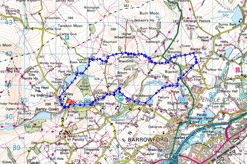
Leaving Barley on the Pendle Way
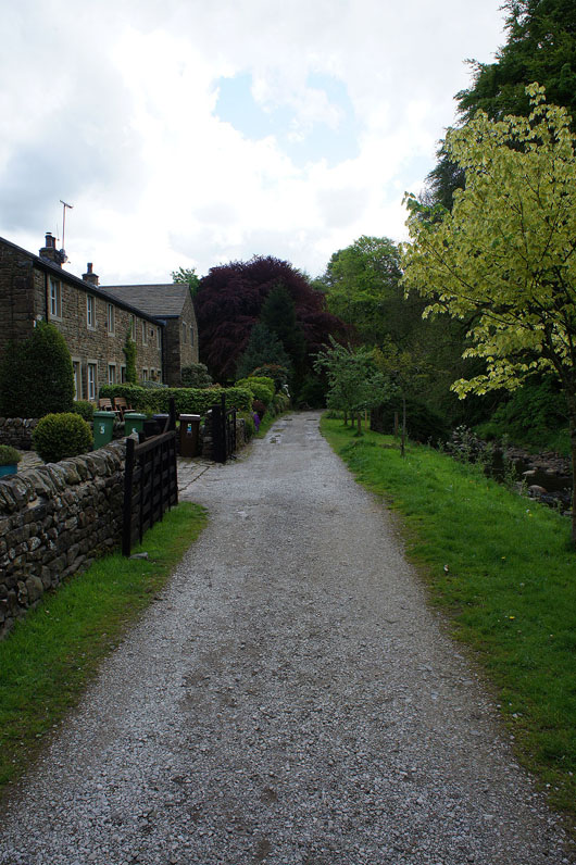
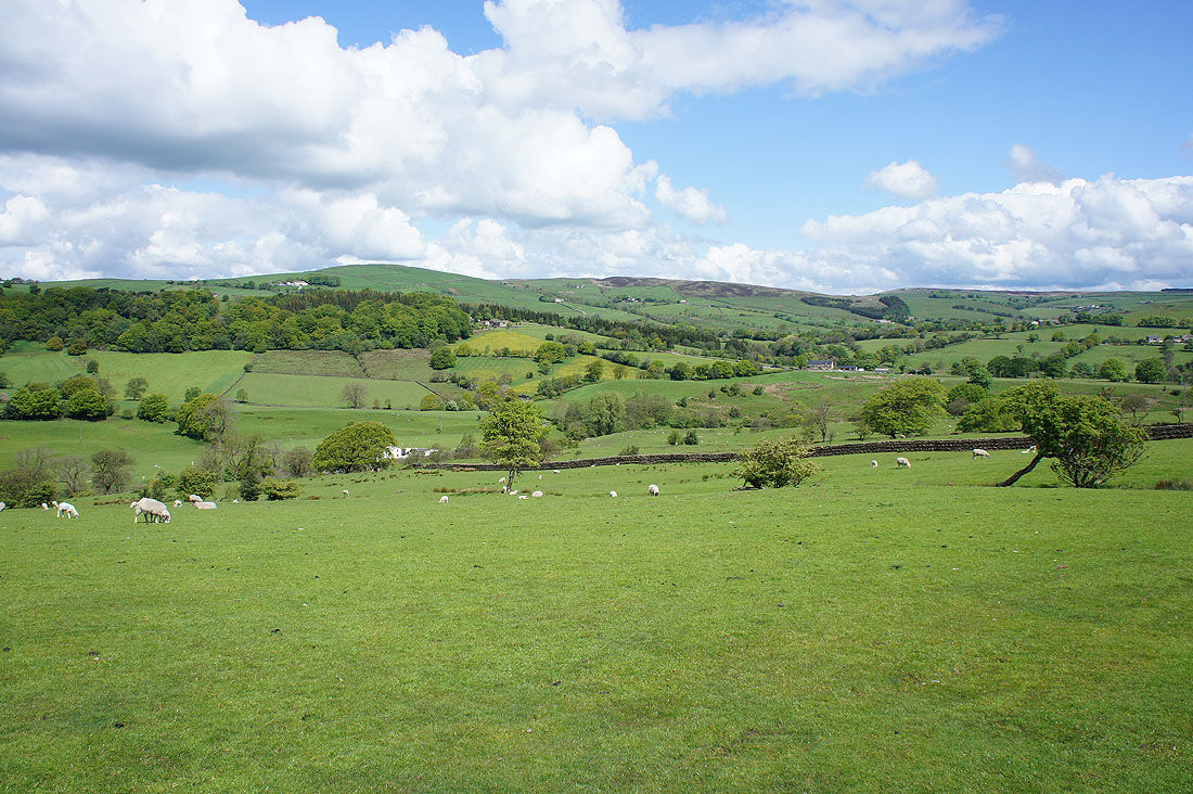
Not long after setting off, looking across the valley of Pendle Water to Spen Height
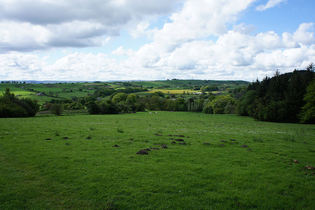
I can make out the sheen of yellow from the buttercup filled fields around Blacko in the distance as I start my descent to Roughlee
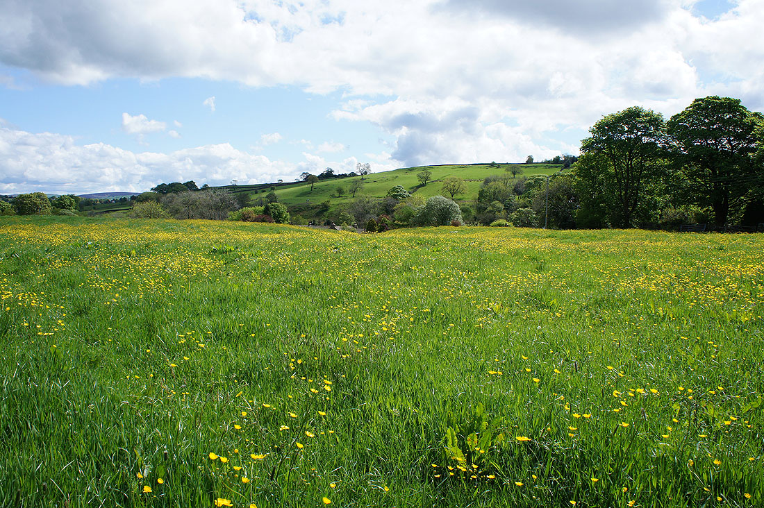
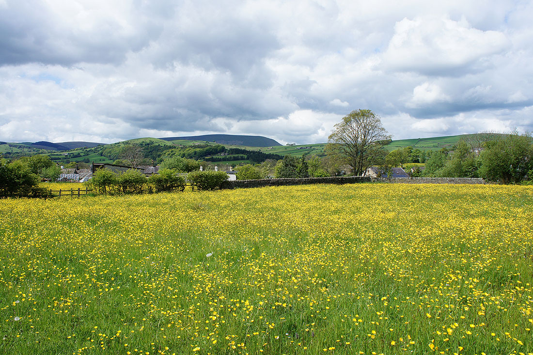
I don't have to wait until I reach Blacko to see a buttercup filled field though
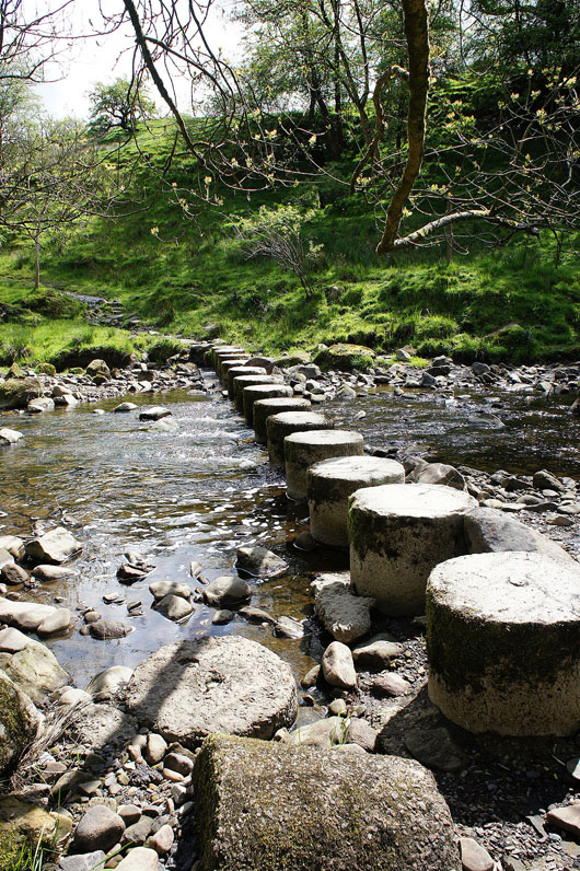
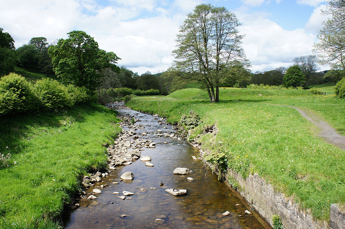
Across the stepping stones over Pendle Water
and Pendle Water from them
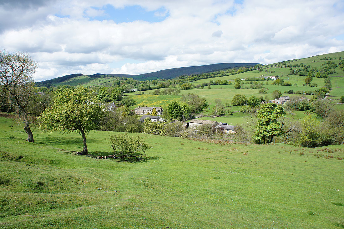
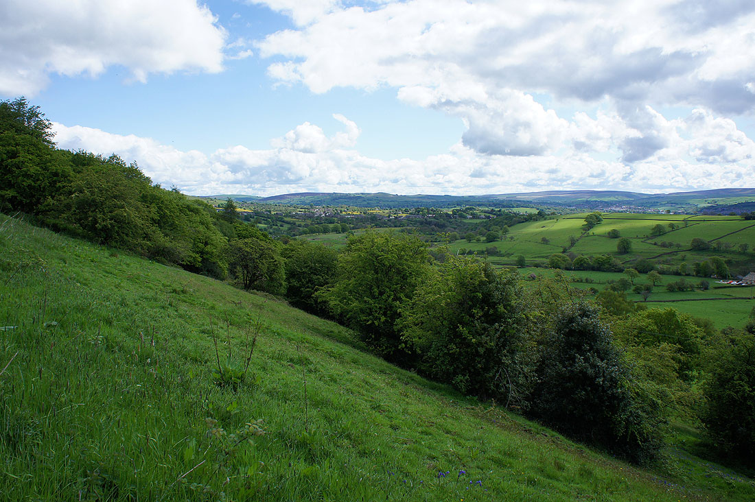
Looking back down on Roughlee
Wheathead Height..
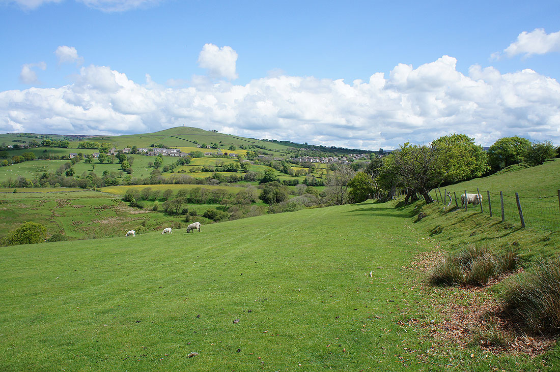
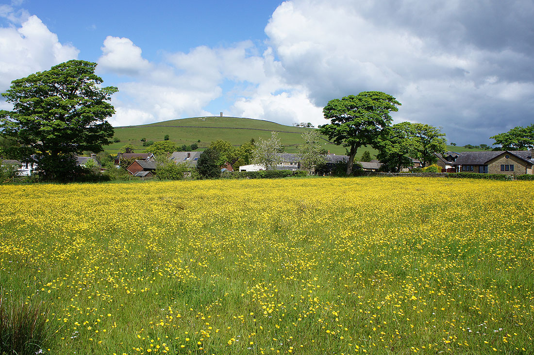
..and Blacko Hill with Stansfield Tower atop it as I follow the path to Blacko
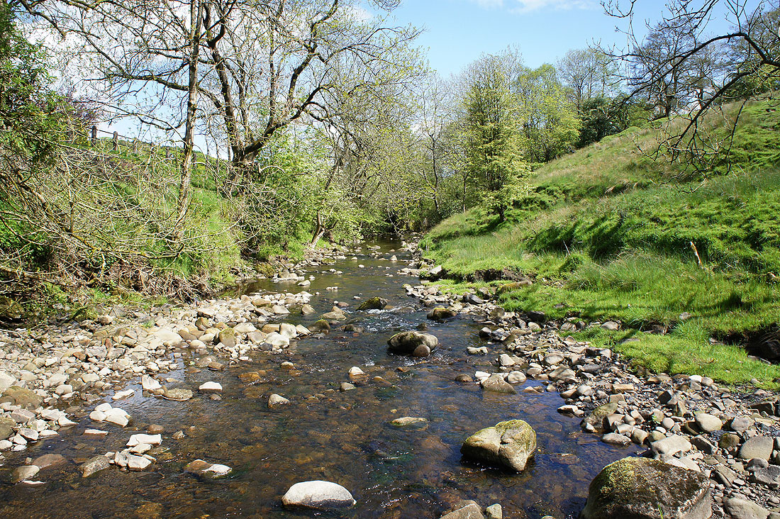
Back across Pendle Water just below Blacko
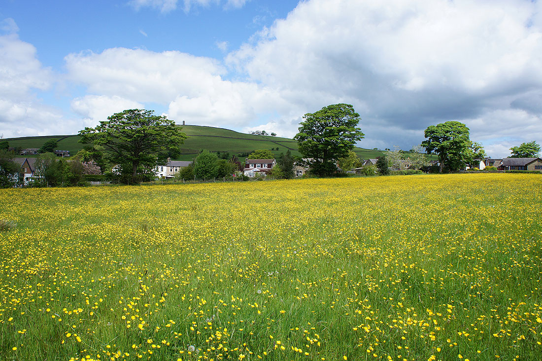
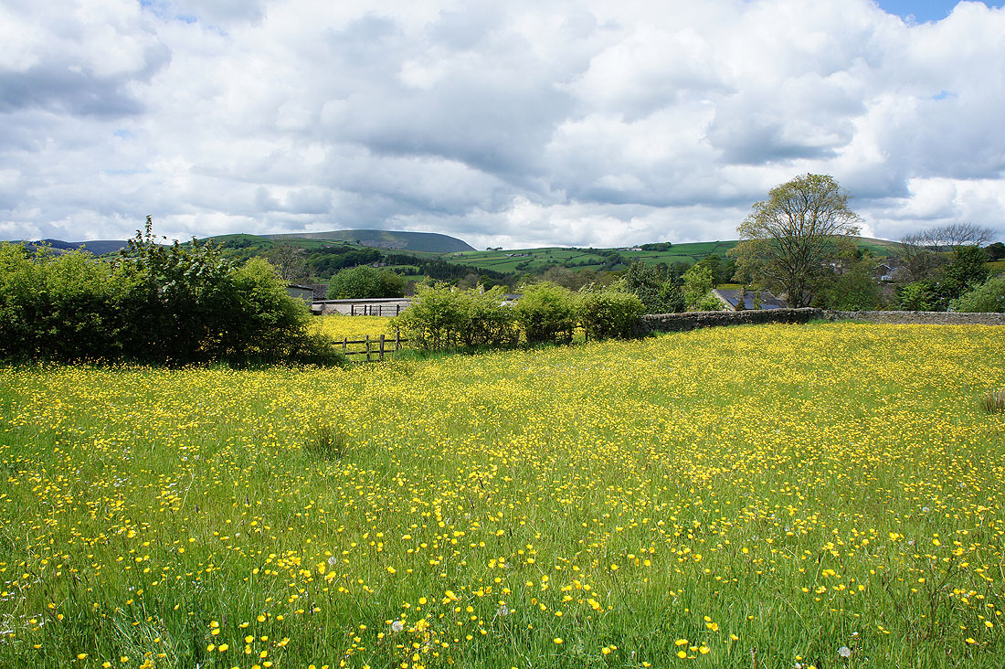
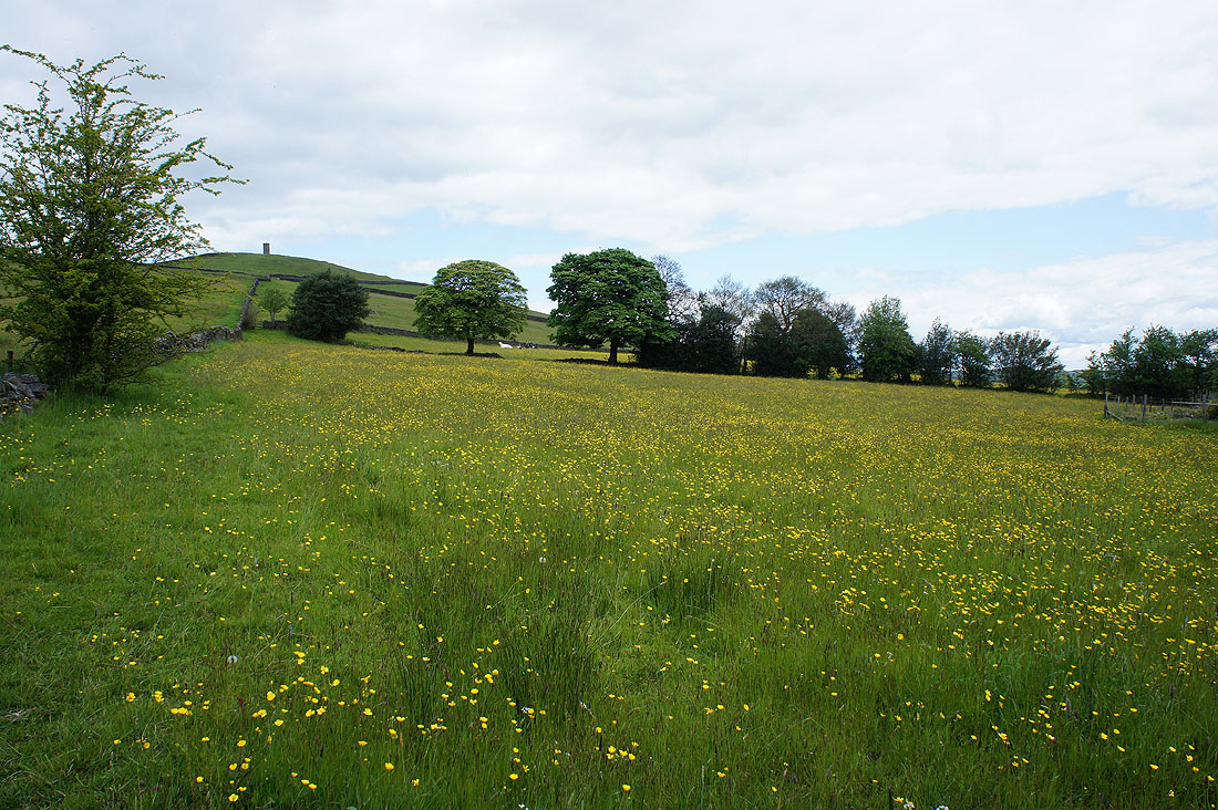
Buttercup filled fields in Blacko. I encountered these fields just a couple of minutes walk after crossing the main road.
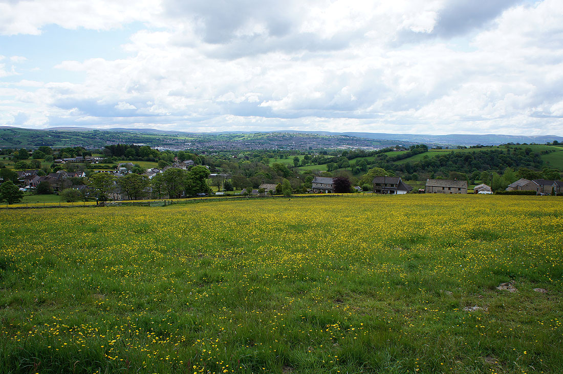
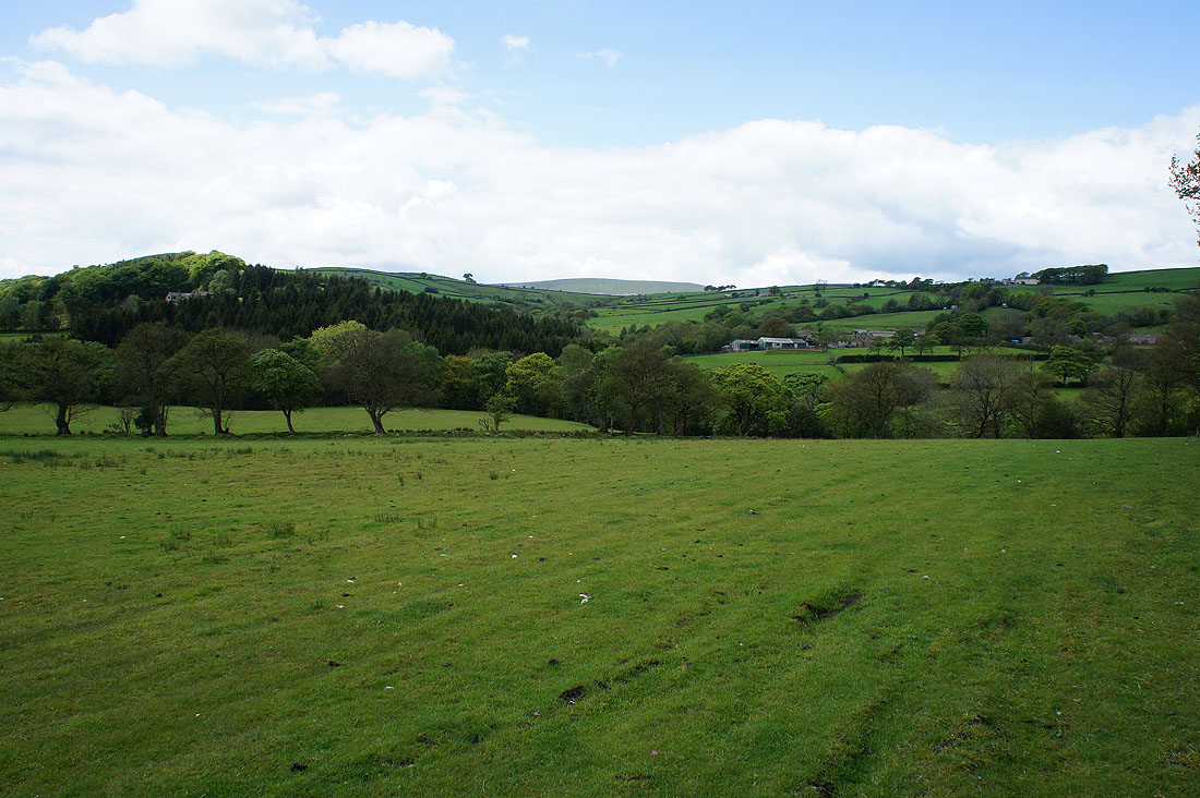
Looking back down across Blacko to Barrowford and Nelson from Blacko Hill Side
A last look up to Blacko Hill before I cross back over the A682
A glimpse of Pendle Hill above the nearby moor as..
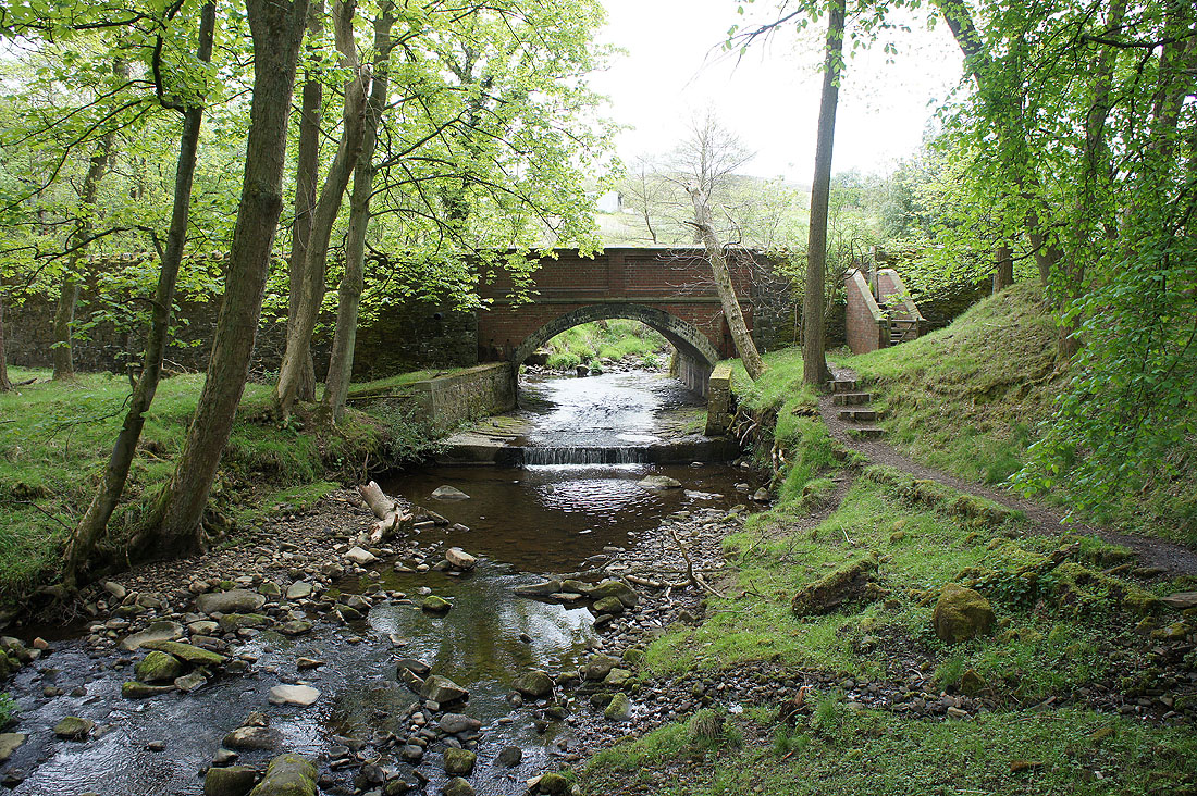
..I head to the bridge over Blacko Water and Wheathead Lane
Looking back to Blacko Hill as I walk up Wheathead Lane
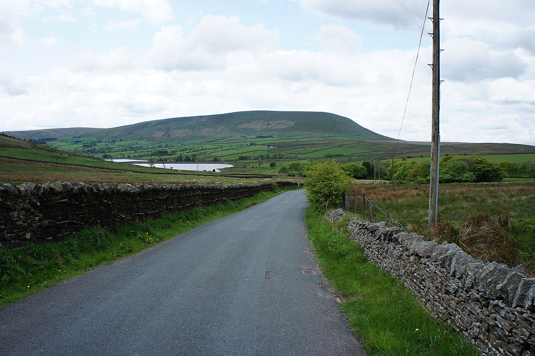
The Black Moss Reservoirs and Pendle Hill from Black Moss Road
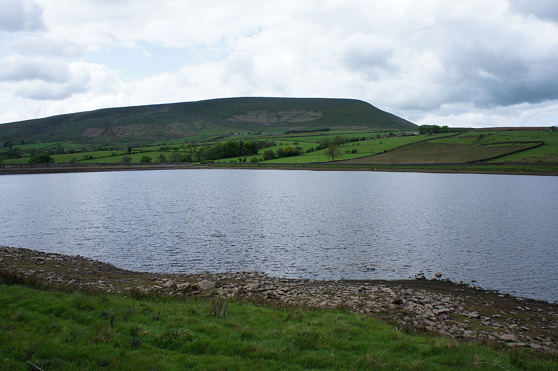
A final shot of Pendle Hill from Lower Black Moss Reservoir