23rd May 2022 - Eagle Crag to Ullscarf
Walk Details
Distance walked: 9.0 miles
Total ascent: 2885 ft
OS map used: OL4 - The English Lakes, Northwestern area
Time taken: 8 hrs
Route description: Stonethwaite-Stonethwaite Bridge-Smithymire Island-Eagle Crag-Sergeant's Crag-High Raise-Low White Stones-Greenup Edge-Ullscarf-High Saddle-Low Saddle-Dock Tarn-Lingy End-Stonethwaite Bridge-Stonethwaite
It's been a long two and a half years since I last did a walk in the Lake District, it was 18th November 2019 to be exact, and even longer for when I last stayed up there for a holiday, and five years for when I was last in Keswick. With all the measures that were put in place because of COVID-19 finally being removed earlier this year I was looking forward to the five nights that I'd booked at a guest house in Keswick, and the resumption of bagging Wainwrights for a second round. I've usually been pretty lucky with the weather during my stays in the Lake District, but with the forecast for this week best described as changeable, I've not made any definite plans about the routes I'd like to do, or the summits I'd like to visit, leaving the decision on where to go to the evening before or even that morning. For my first walk I've decided to head to Stonethwaite in Borrowdale and do a route that would take in Eagle Crag, Sergeant's Crag, High Raise and Ullscarf (only High Raise wasn't needed for the second round), which happened to be the same as that for when I first visited Eagle Crag and Sergeant's Crag in 2007. There are clear paths to follow for some of the way but in other parts there just isn't enough traffic for an obvious best way to develop, and this was particularly true for the stretch from Ullscarf to Dock Tarn. The weather forecast for today was one of improving conditions. I set off from Stonethwaite under grey skies, and there were a few drizzly showers through the morning and into the early afternoon, with the cloud sitting on the high fells. During the afternoon the wind picked up, the cloud lifted off the tops of most of the fells, and a bit of sunshine broke through the clouds.
After parking by the side of the road to Stonethwaite I walked along the road to the hamlet and took the bridleway across Stonethwaite Bridge. I then followed the bridleway south by Stonethwaite Beck until I reached Smithymire Island where Langstrath Beck and Greenup Gill meet, took the footbridge across Greenup Gill, then followed a path by the west bank of Greenup Gill until I reached the wall up the hillside below Eagle Crag. A steep ascent by the wall came next, up to the stile in the fence at its top, then a zigzag path took me up through the crags to the top of Eagle Crag. After a short break I took the path south to Sergeant's Crag, crossed the stile in the wall below it on its south side, and then made my way south across the moor and up to the trig point on the summit of High Raise, where I stopped for lunch. After this break I made my way north to Low White Stones and took the path north across Greenup Edge and up to the summit of Ullscarf. I briefly kept heading north from Ullscarf but when I reached the point where I could see Blea Tarn I left the main line of the central ridge and headed for High Saddle and then Low Saddle, before making a largely pathless crossing of heathery and rather boggy ground to reach Dock Tarn. When I reached the western shore of Dock Tarn I took the public footpath south down Lingy End to the bridleway below, and from there I retraced my steps back to where I was parked.
Route map

© Crown copyright. All rights reserved. License number PU 100034184.
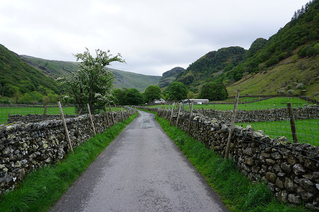
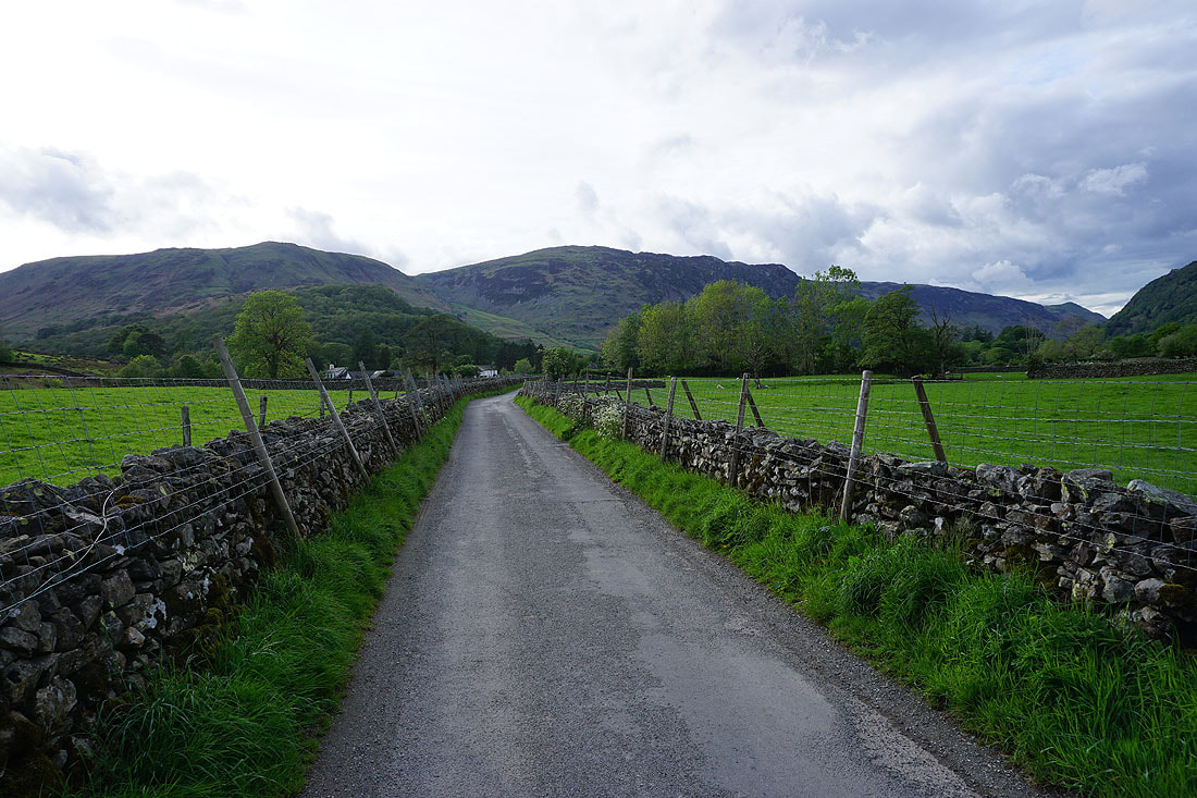
Walking along the road to Stonethwaite
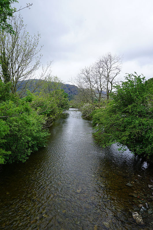
Stonethwaite Beck as I cross it via Stonethwaite Bridge
Eagle Crag looms large as I follow the bridleway towards Greenup Gill
Looking back along the bridleway to the fells above Rosthwaite
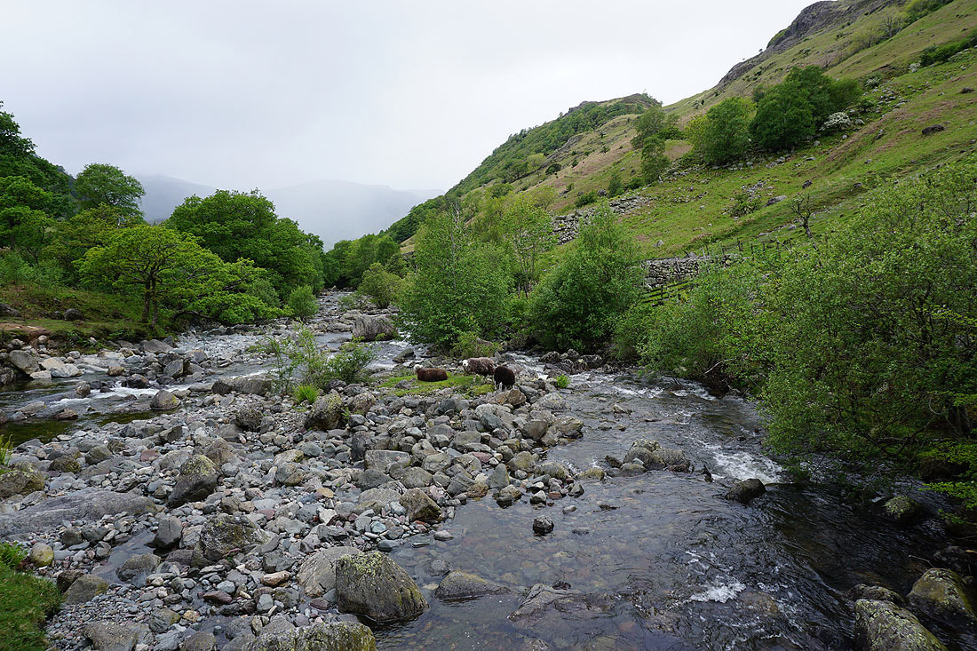
Crossing the footbridge at Smithymire Island, where Langstrath Beck and Greenup Gill meet
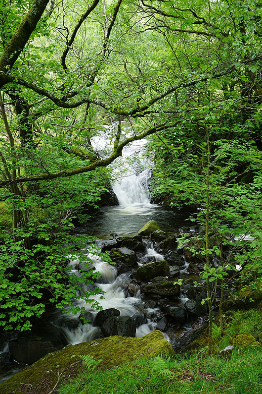
I spot a small waterfall through a gap in the trees by Greenup Gill
The view north into Borrowdale as I start the climb up Eagle Crag
A glimpse of Langstrath as I reach the top of wall at the end of the first part of the climb
Looking north along the valley of Stonethwaite Beck to Borrowdale and the fellside of Low Scawdel
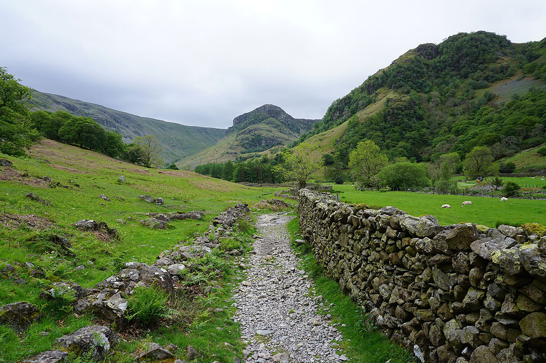
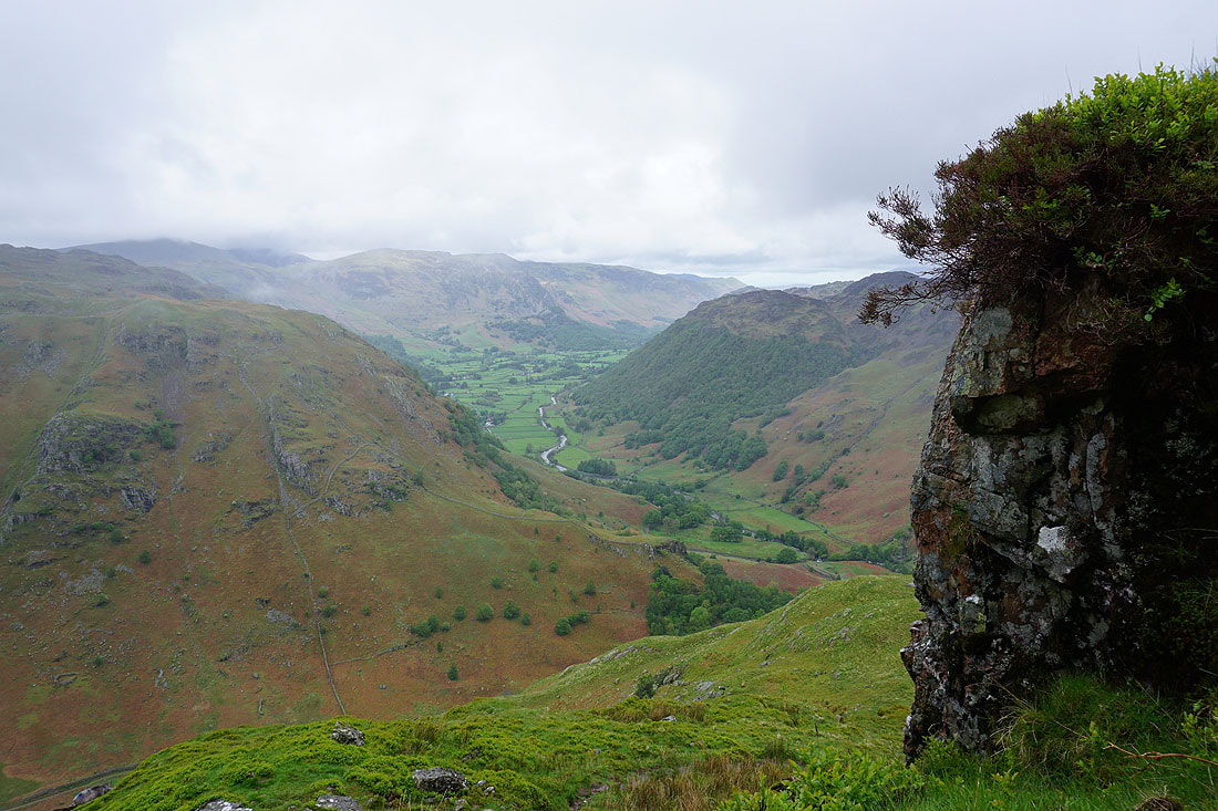
The path zigzags up the fellside to the top of Eagle Crag and my view of the surrounding fells improves. Looking south up Langstrath with Sergeant's Crag on the left and Rosthwaite Fell on the right.
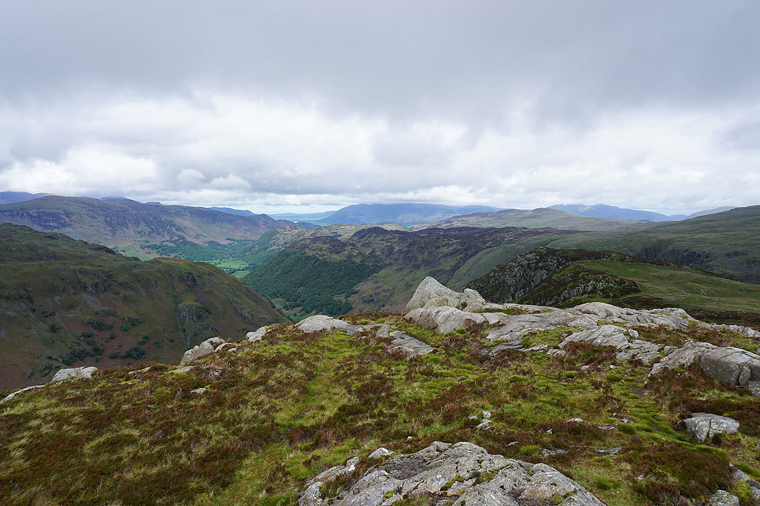
The fells around the jaws of Borrowdale
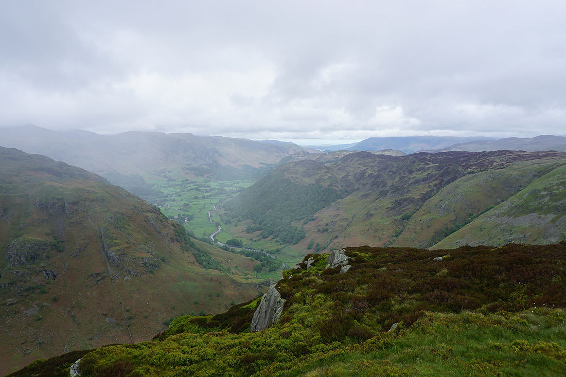
Made it to the top of Eagle Crag. After a stop for a break I'll be heading for Sergeant's Crag, on the right, and then the currently cloud-topped High Raise. I hope the weather improves.
The view from Sergeant's Crag across the fells around Borrowdale to a cloud-topped Skiddaw
Looking across Langstrath to Rosthwaite Fell
High Raise is now cloud free
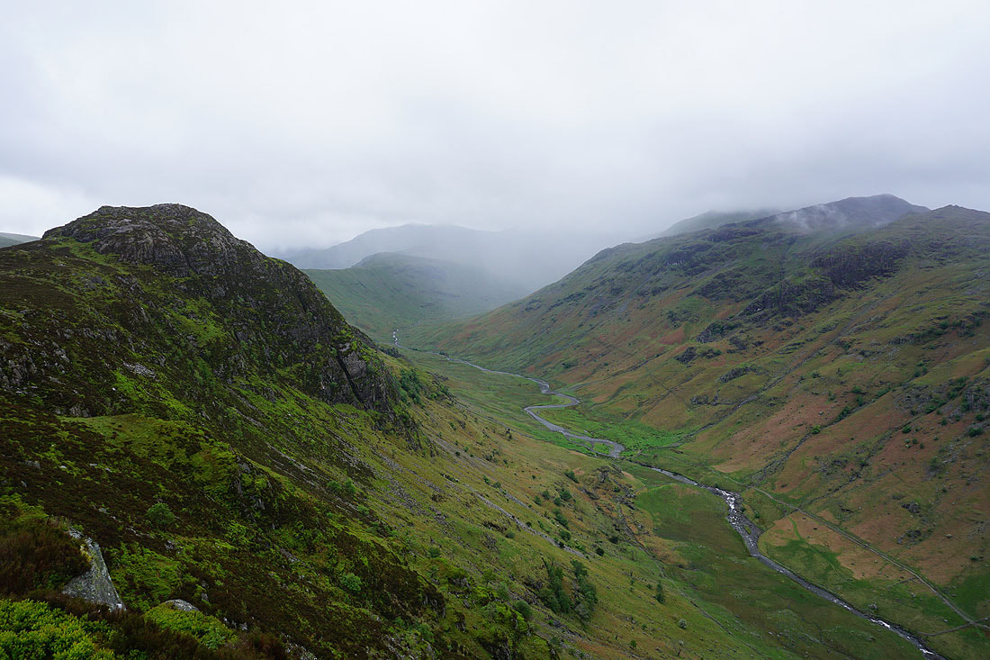
A wander over to the steep drop into Langstrath gives me a better view of Langstrath Beck flowing into the valley of Stonethwaite Beck and that into Borrowdale
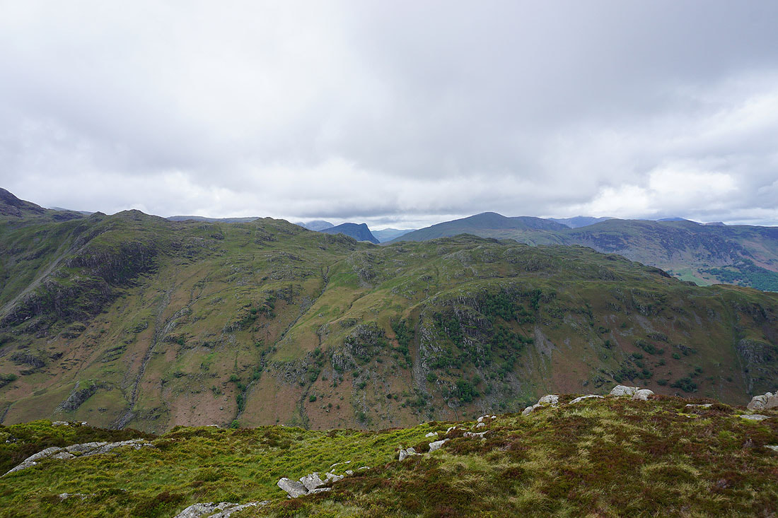
Looking up Langstrath with the Stake Pass and Rossett Pike on the left, and Glaramara on the right. In the distance cloud is clearing from the tops of Bowfell and Esk Pike.
Leaving Sergeant's Crag and this stile lets me cross the wall that surrounds this part of the fell
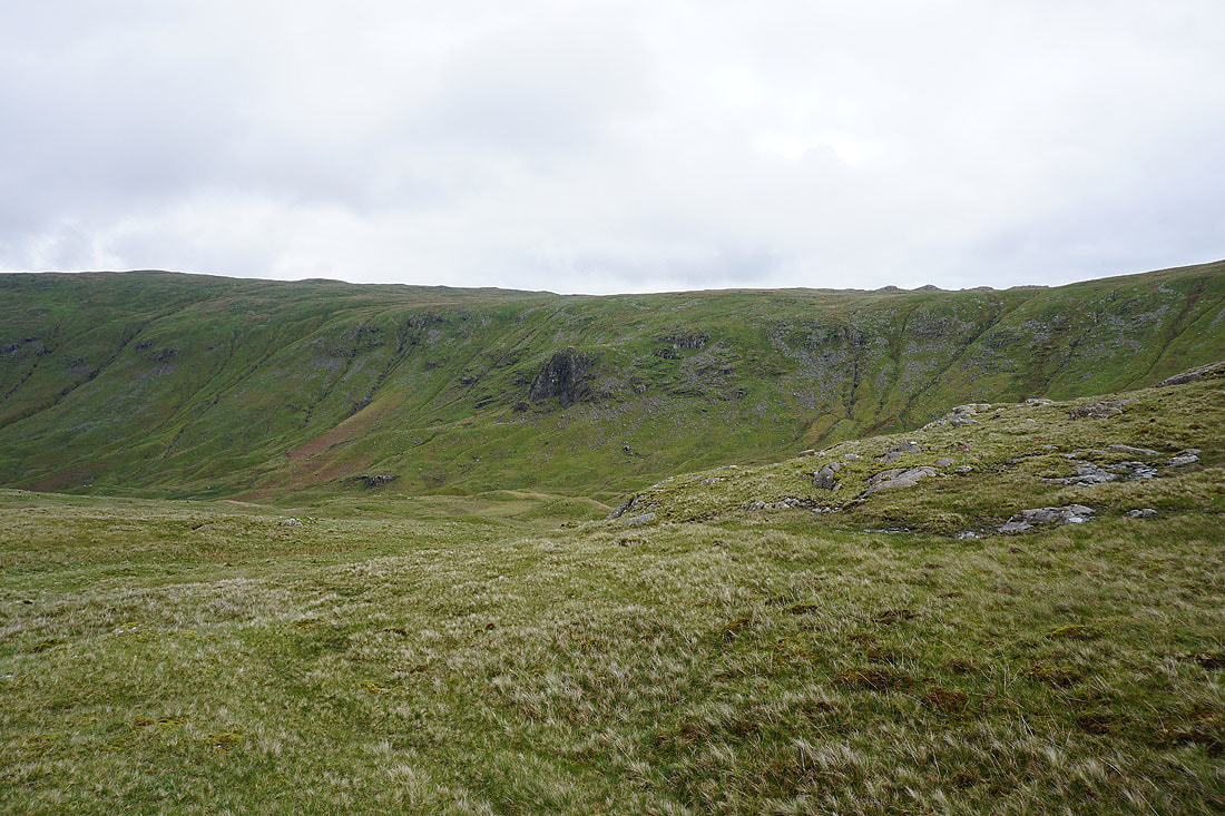
Lining Crag above Greenup Gill to my left as I head for High Raise
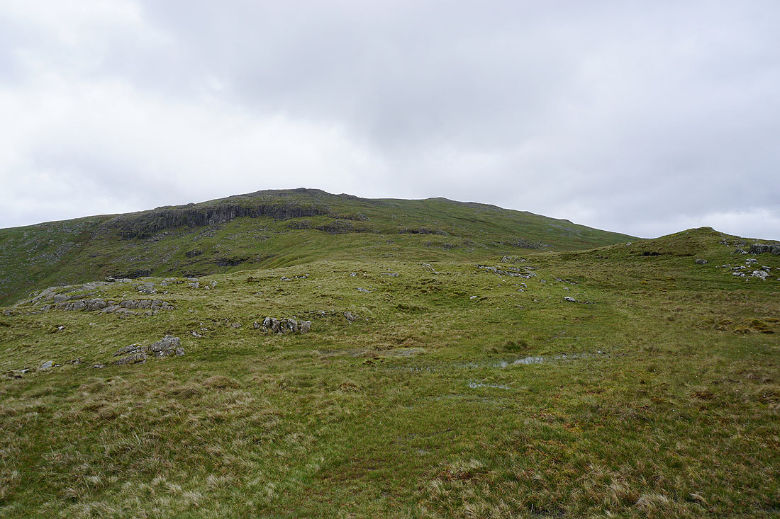
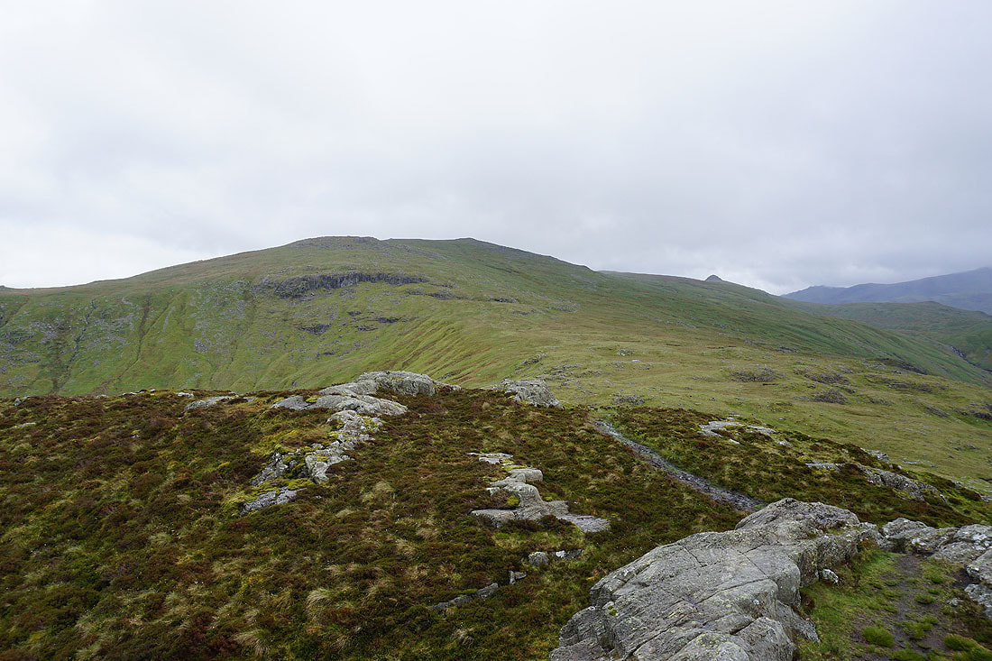
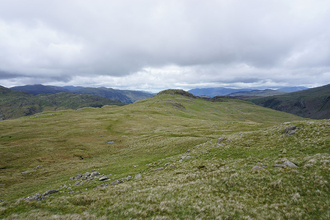
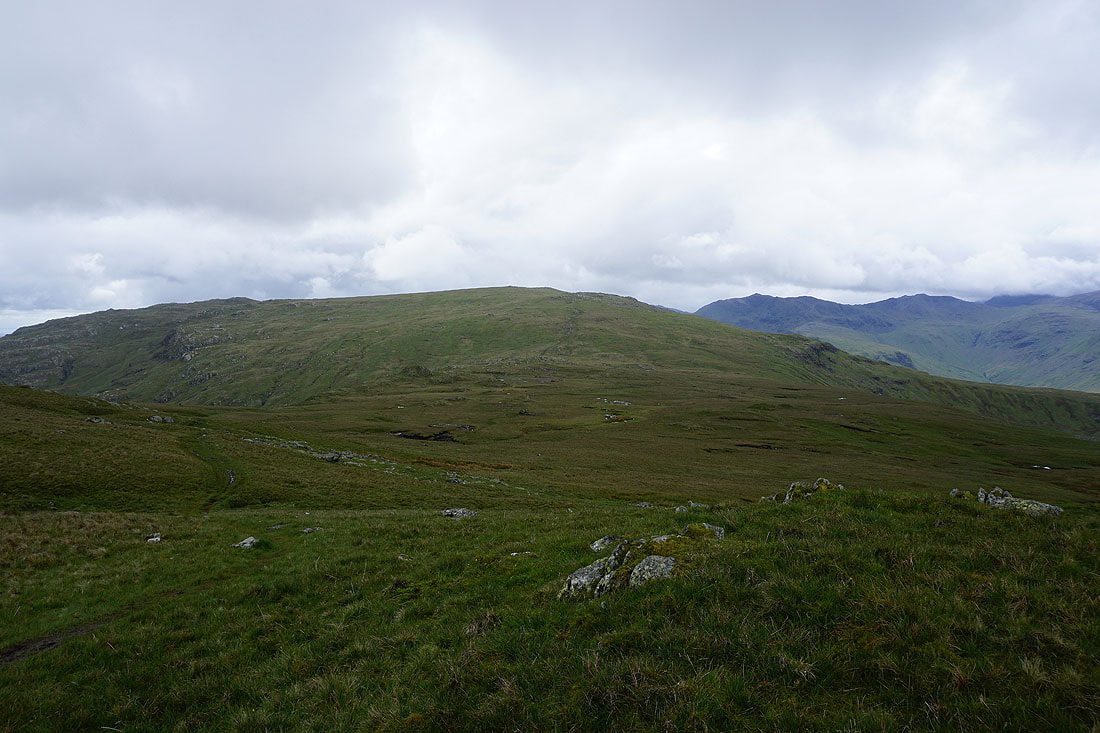
Long Crag and the steepening slopes of High Raise
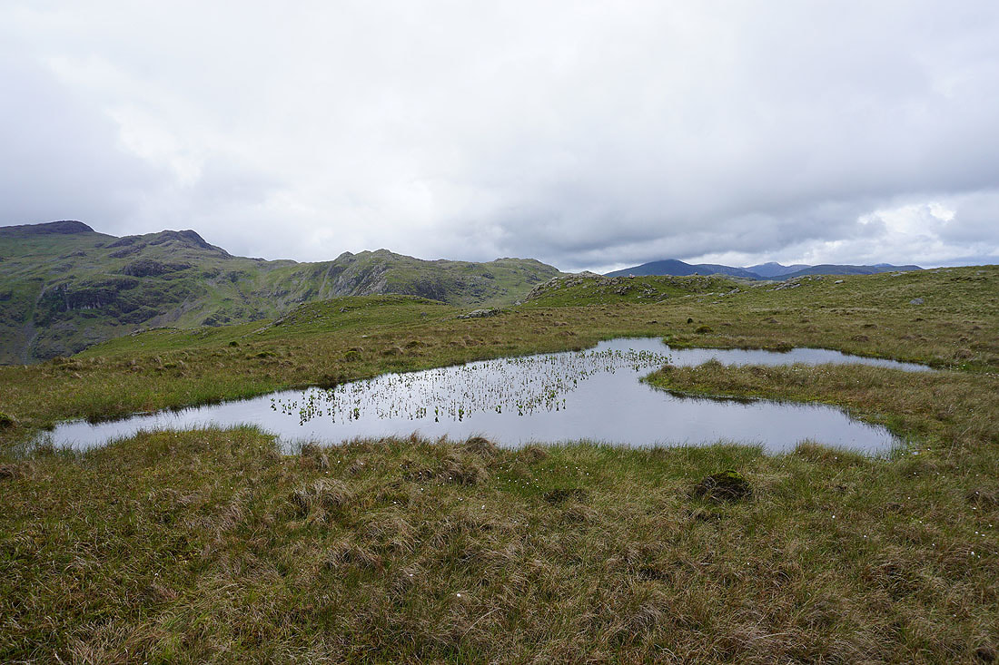
Passing a pool with Bogbean beginning to flower
Looking back to Sergeant's Crag
and as I near the top of High Raise, to the fells around Borrowdale
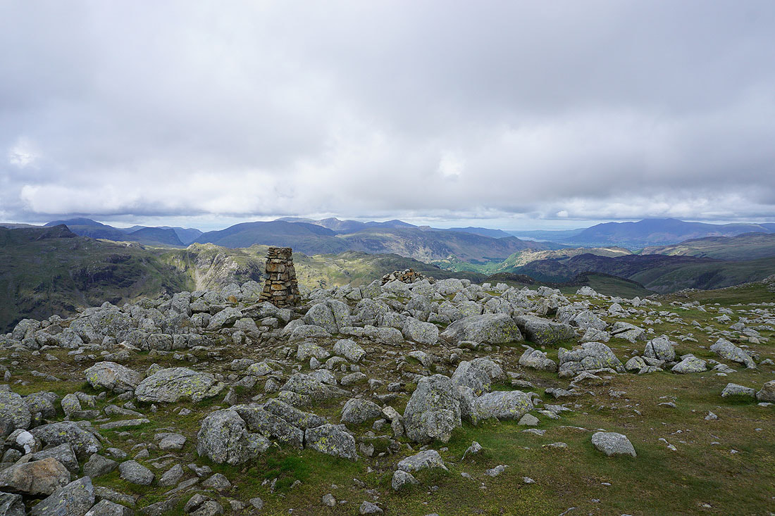
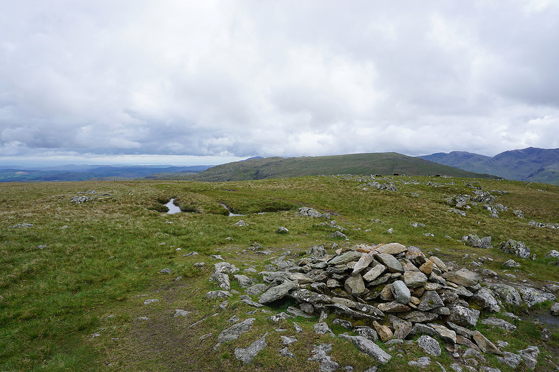
At the trig point on High Raise. Time to stop for lunch.
The view from High Raise. The Helvellyn range and Fairfield to the northeast and east.
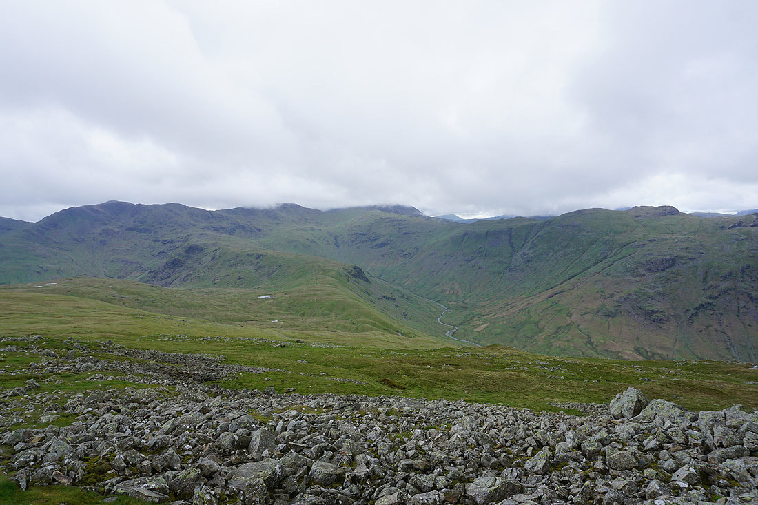
Bowfell, Esk Pike, Great End and the head of Langstrath to the southwest
The Coniston fells, Crinkle Crags and Bowfell to the south
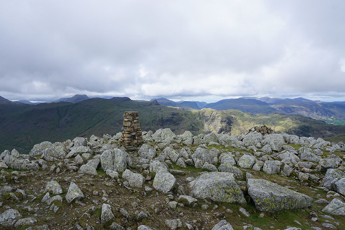
Looking west and northwest to Great Gable, Glaramara, Fleetwith Pike, Dale Head, Crag Hill, Grisedale Pike, Borrowdale and Skiddaw..
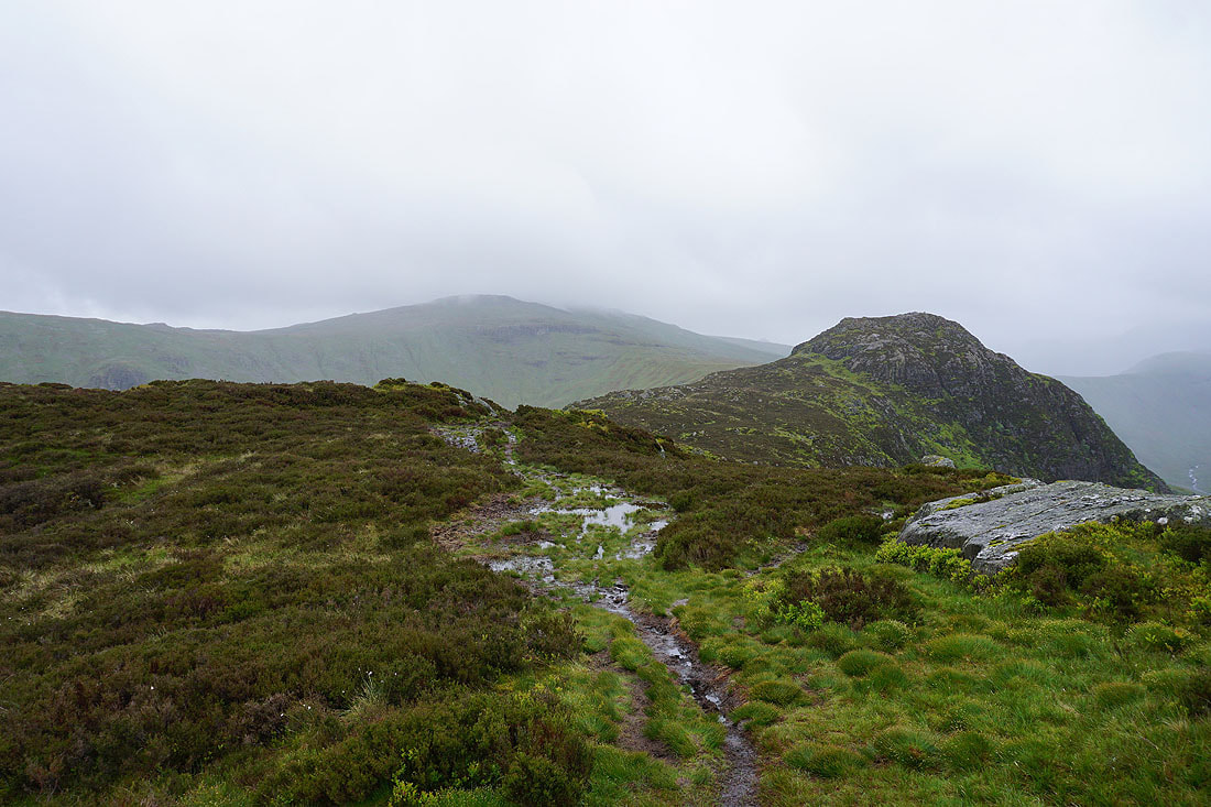
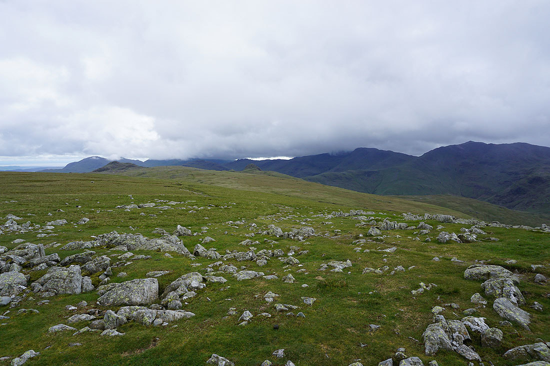
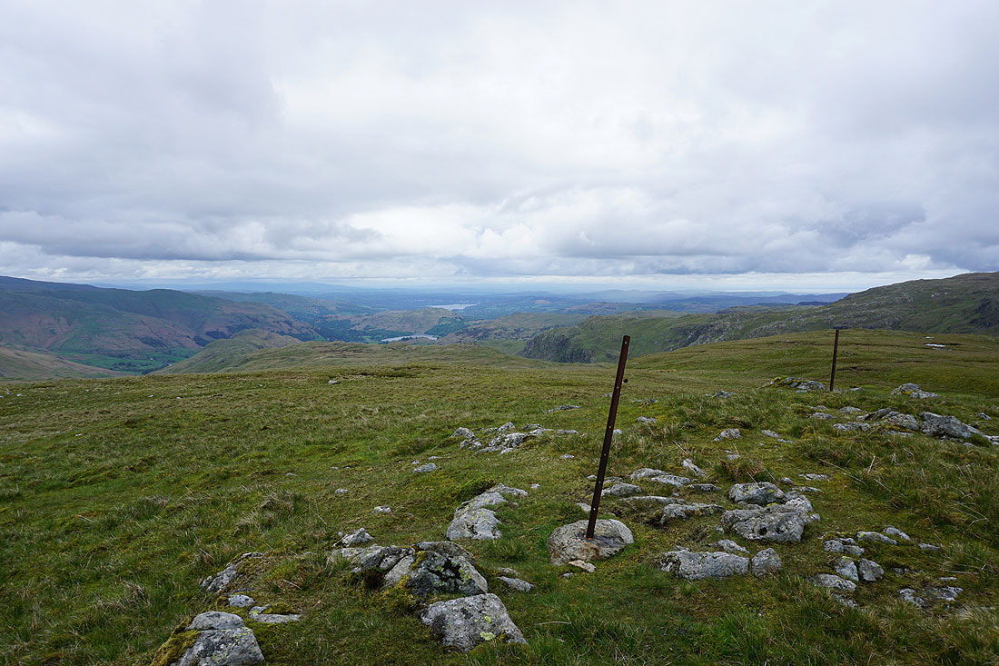
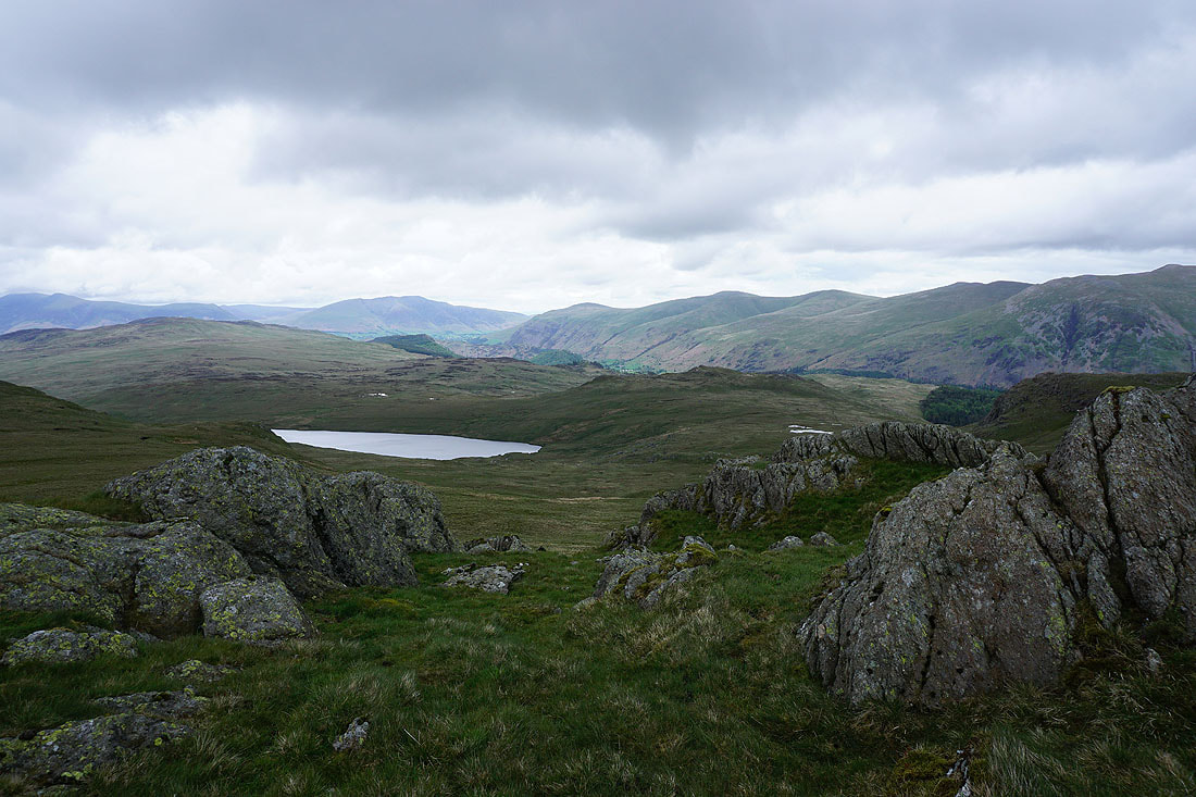
Heading north from the top of High Raise and I reach Low White Stones above Greenup Edge. The view north to Skiddaw, Blencathra and Ullscarf.
and across the valley of Wyth Burn to Helvellyn and Fairfield
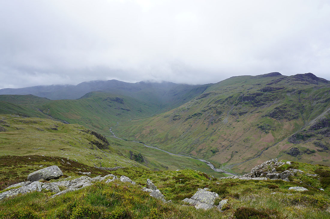
Crossing Greenup Edge and on the way up Ullscarf
Looking back across Greenup Edge to High Raise
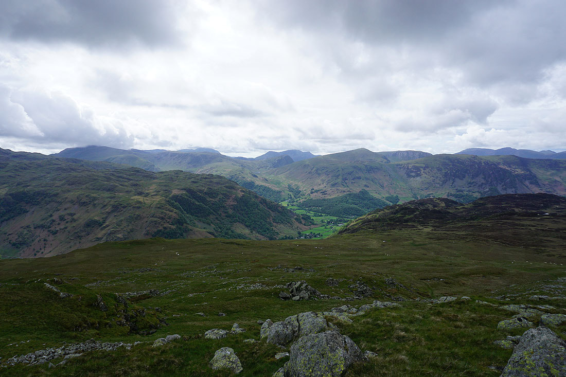
Nearing the top of Ullscarf and I get a view down into the Vale of Grasmere and across the top of Loughrigg Fell to a little bit of Windermere
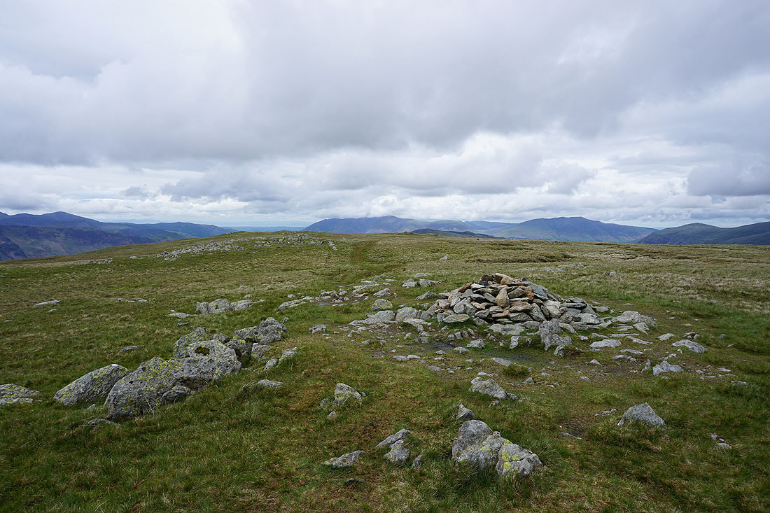
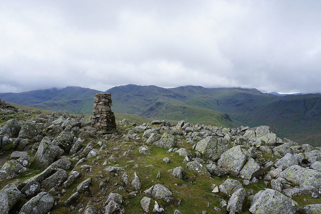
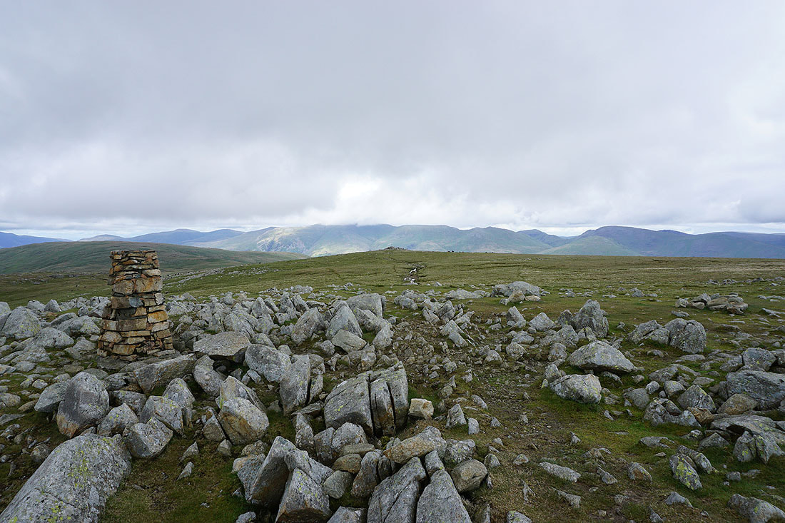
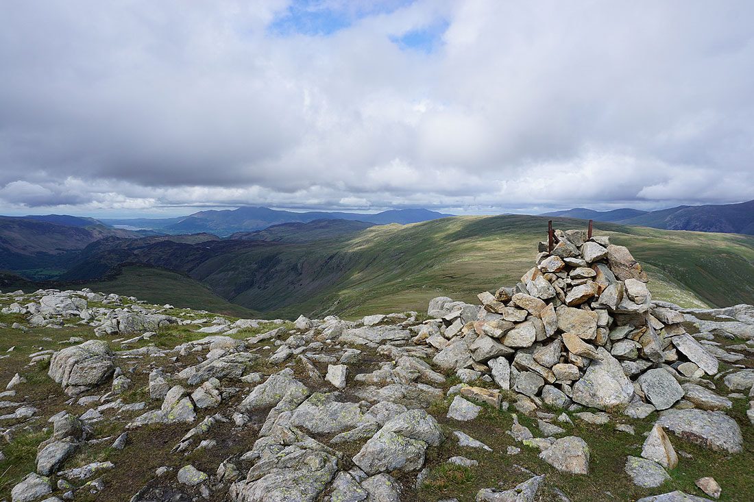
On the summit of Ullscarf. Skiddaw and Blencathra to the north.
Bowfell, Esk Pike, Ill Crag, Great End, Glaramara, Great Gable, Pillar, Grey Knotts, High Stile and Fleetwith Pike
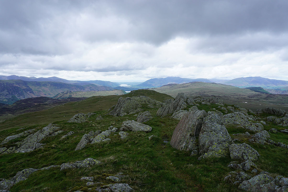
High Raise to the south
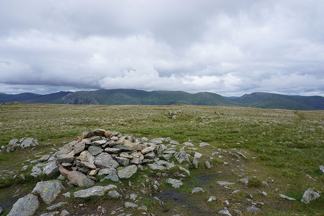
Helvellyn and Fairfield to the east
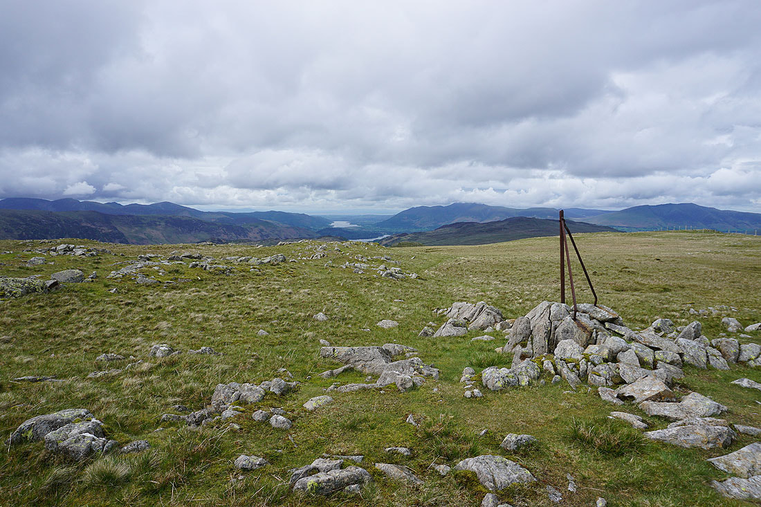
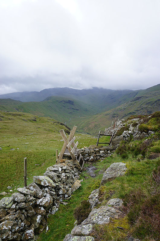
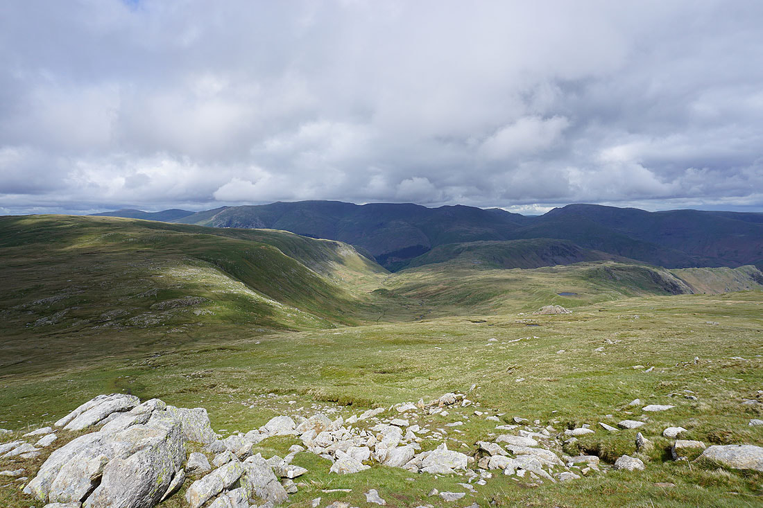
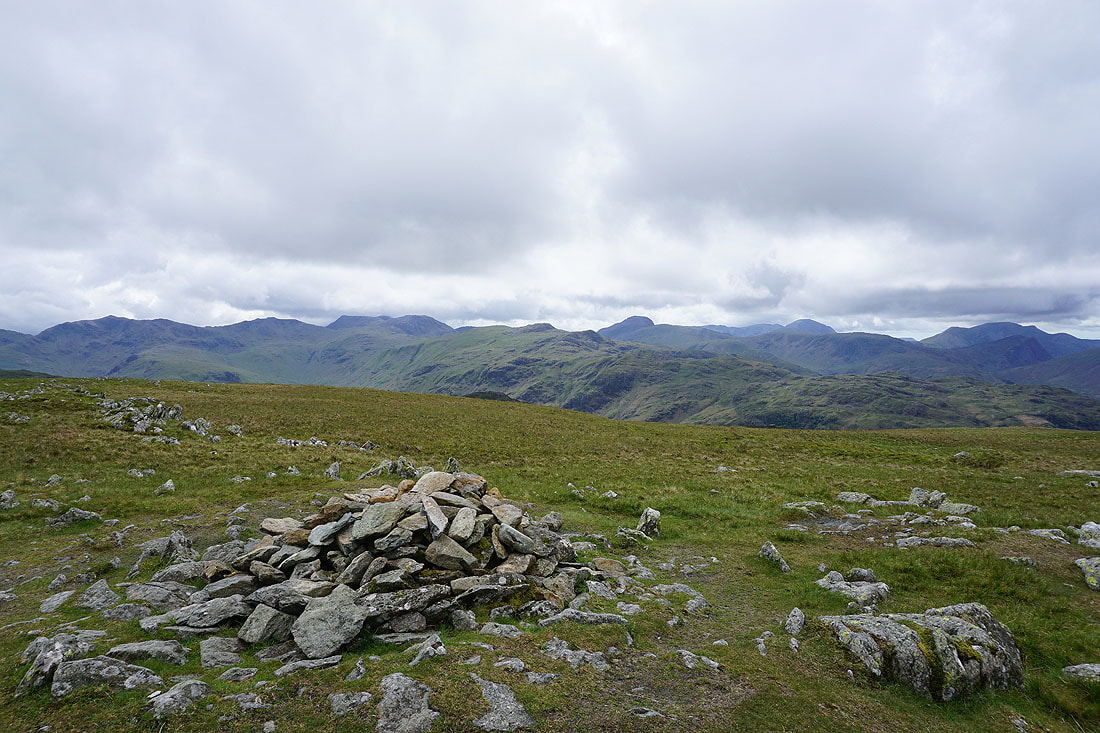
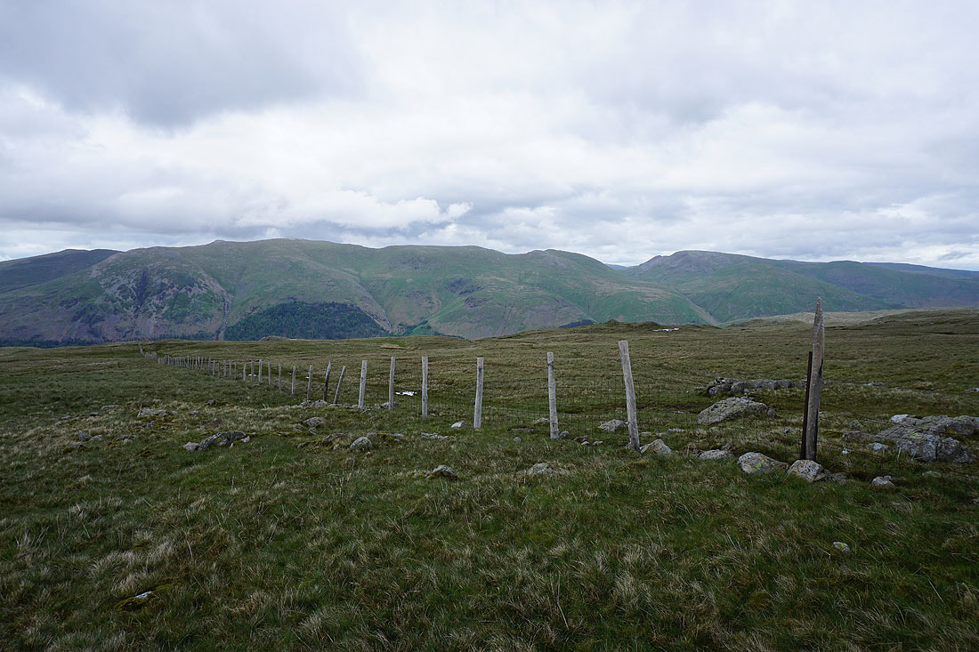
Heading north from Ullscarf to High Saddle and a lone fence post provides a good spot to stop and take in the view. Bassenthwaite Lake, Skiddaw, and the fells around Derwent Water.
Crinkle Crags, Bowfell, Esk Pike, Great End, Glaramara, Great Gable and Pillar
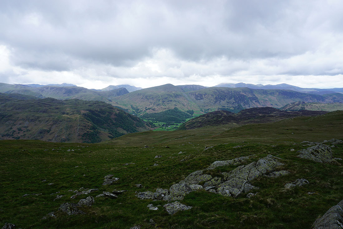
Helvellyn and Fairfield as I reach High Saddle
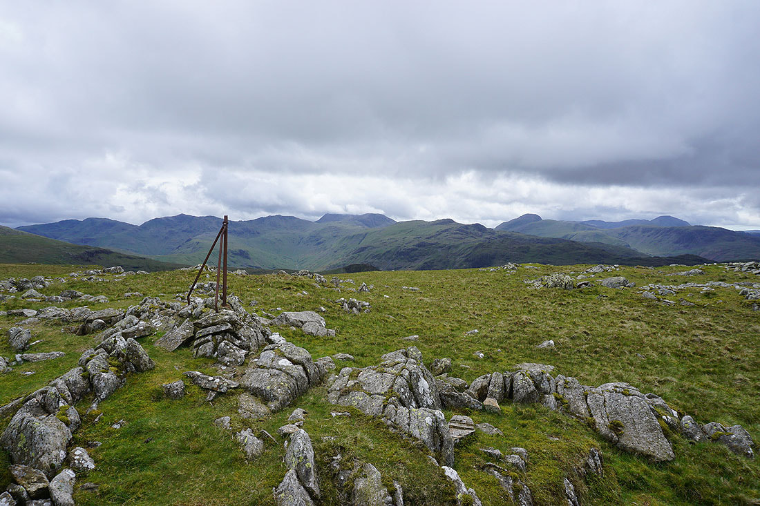
Blea Tarn, High Seat, Skiddaw and Blencathra to the north
The fells around Borrowdale, Bassenthwaite Lake, Skiddaw, High Seat, and Blencathra
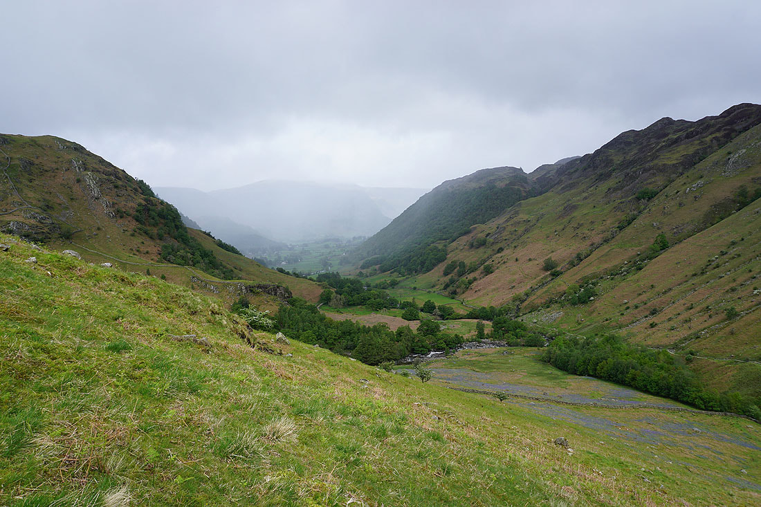
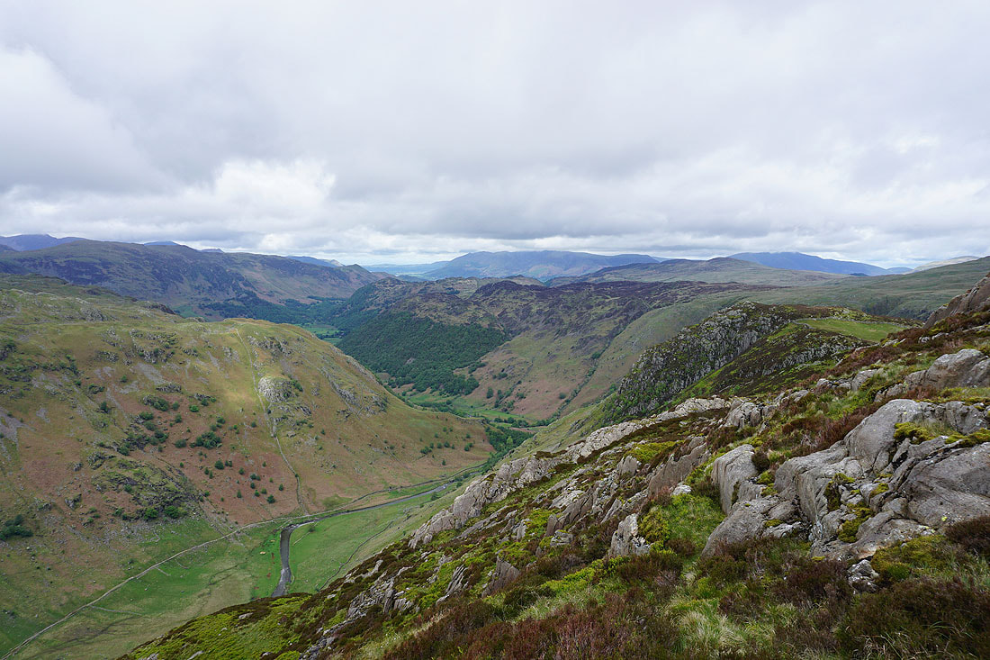
I can see Rosthwaite down in Borrowdale
High Seat, Blea Tarn and Bell Crags, with Blencathra and the Dodds beyond
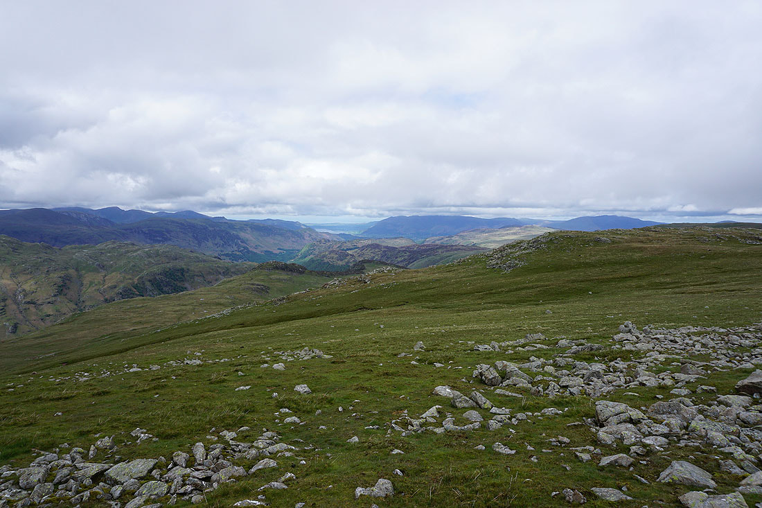
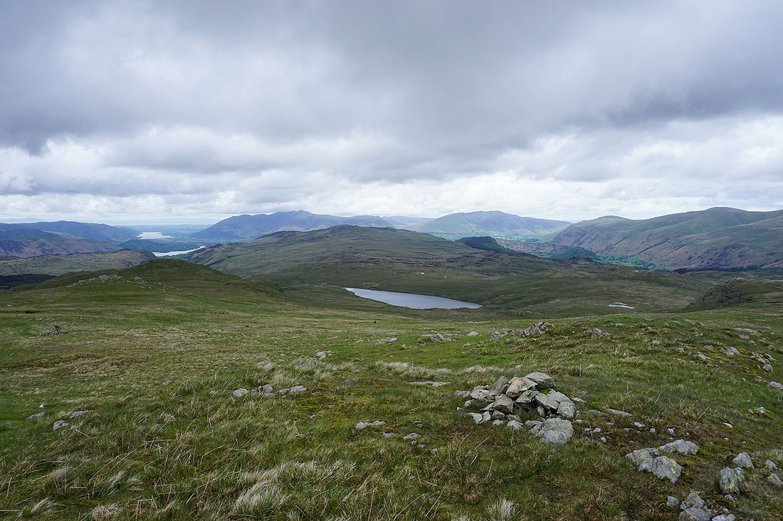
On Low Saddle and some brighter skies make for a good view of Borrowdale up to the Honister Pass
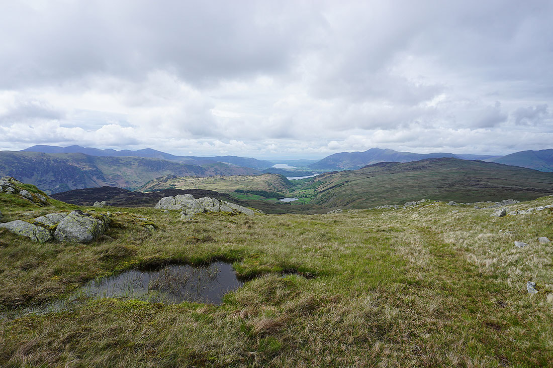
I think this might be my favourite photo of the day. Increasingly large stretches of water; Watendlath Tarn, Derwent Water and Bassenthwaite Lake.
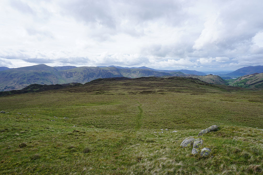
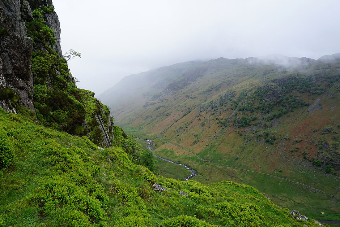
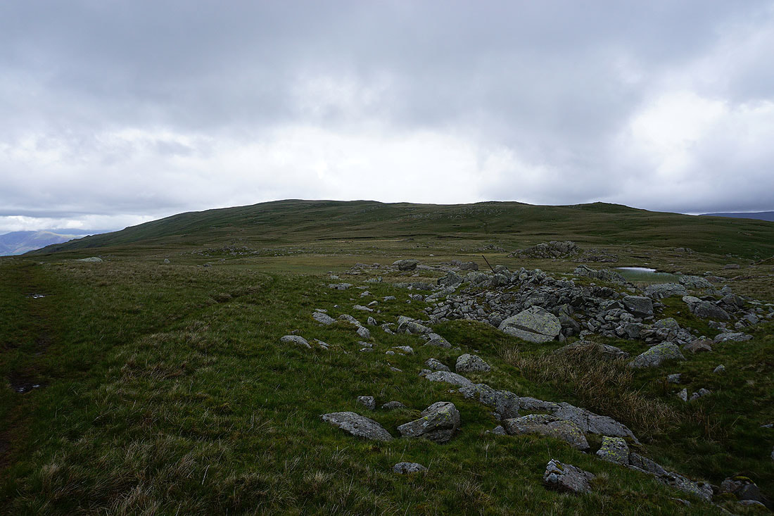
Leaving Low Saddle I have some boggy moorland to cross to reach Dock Tarn
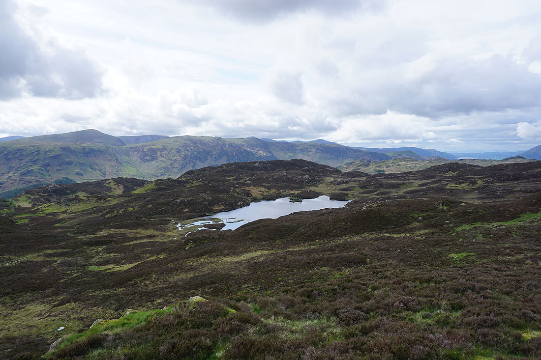
Dock Tarn below
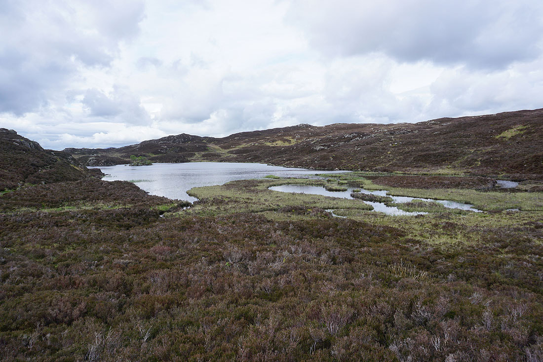
By Dock Tarn
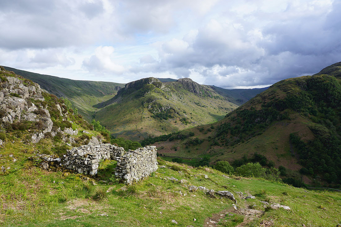
Eagle Crag and Sergeant's Crag from the top of the path down Lingy End
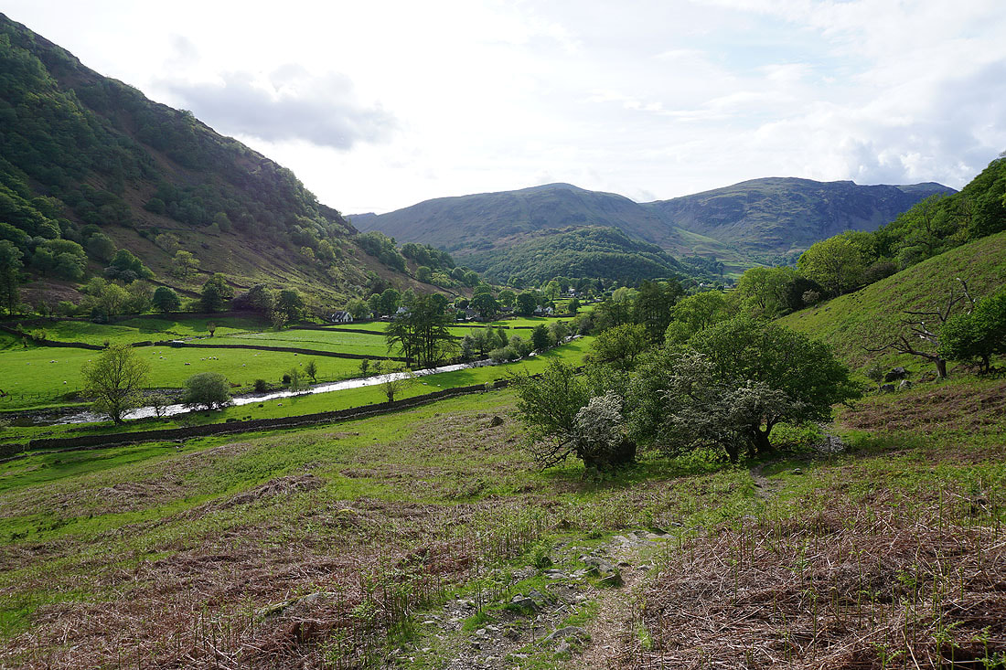
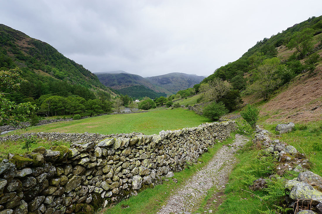
Back down into the Stonethwaite arm of Borrowdale
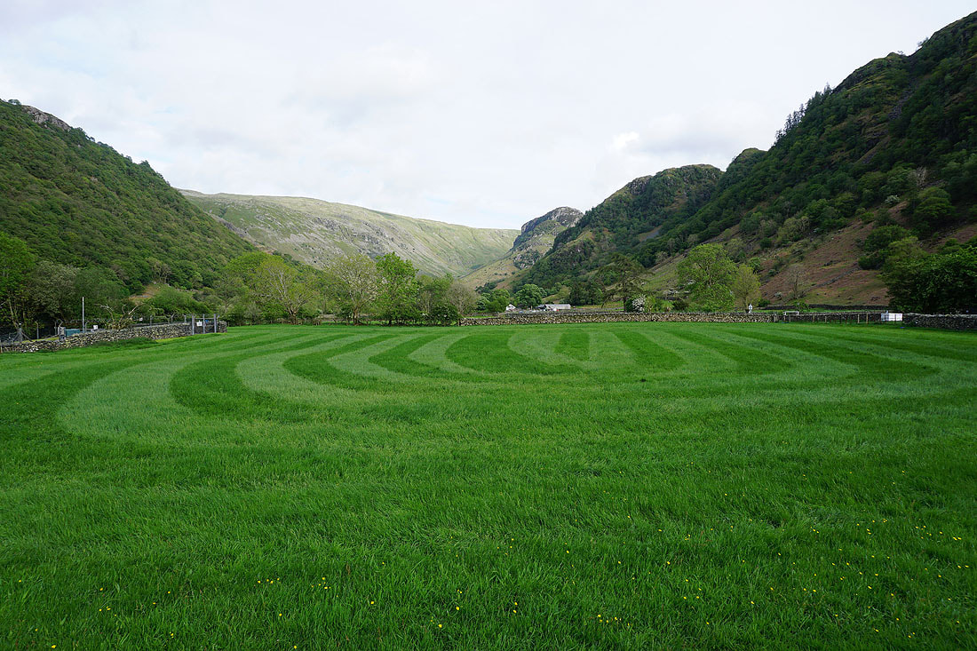
Walking along the road through Stonethwaite back to where I'm parked
One last look back to Eagle Crag