23rd November 2013 - The Peaks of the Peak
Walk Details
Distance walked: 9.4 miles
Total ascent: 1865 ft
OS map used: OL24 - The Peak District, White Peak area
Time taken: 6 hrs
Route description: Longnor-Beggar's Bridge-Green Lane-High Wheeldon-Earl Sterndale-Glutton Dale-Glutton Grange-Dowel Dale-High Edge-Chrome Hill-Glutton Bridge-Green Lane-Beggar's Bridge-Longnor
Today was my first visit to this particular area of the Peak District and the main attractions were the distinctive limestone hills of Chrome and Parkhouse Hills. The reason for their distinctiveness is the fact that the limestone from which they are composed was formed from coral reefs and this gives them a greater resistance to erosion.
From Longnor I followed a track out of the village and across a field to pick up the bridleway that crosses the River Dove by Beggar's Bridge. I then followed Green Lane to the road below High Wheeldon. A stile was crossed onto access land and a steep climb brought me to the trig point. I made my descent down the other side to the road to Earl Sterndale. I then followed the road through the village to a crossroads where I turned left to walk down Glutton Dale to Glutton Grange. I left the road here to take the footpath to Dowel Dale and the road that I followed to High Edge.
From High Edge I backtracked down the road and then went down the driveway to Stoops Farm. A sign for a concessionary path to Chrome Hill is soon reached. This path was followed to reach the access land of Chrome Hill. After crossing Chrome Hill I walked along the lane to Glutton Bridge and then a bridleway took me back to Green Lane. I then retraced my steps back to Longnor except for using the bridleway to Top o'th' Edge instead of the quagmire of a path I left it by.
Route map
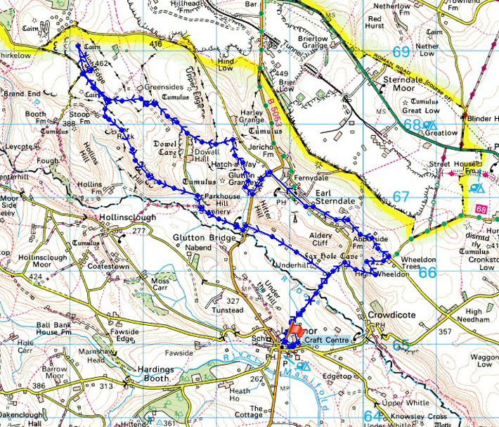
© Crown copyright. All rights reserved. License number PU 100034184.
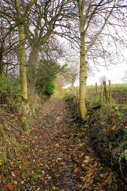
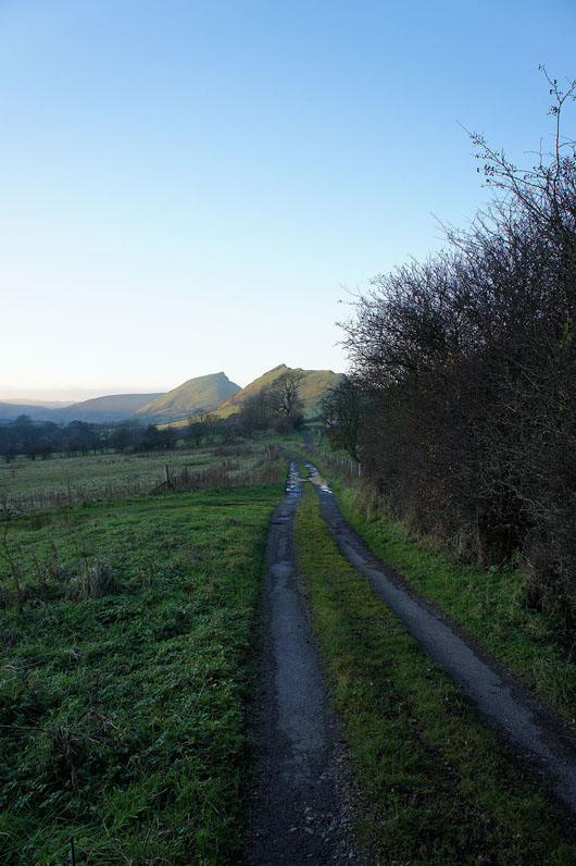
The track I took out of Longnor
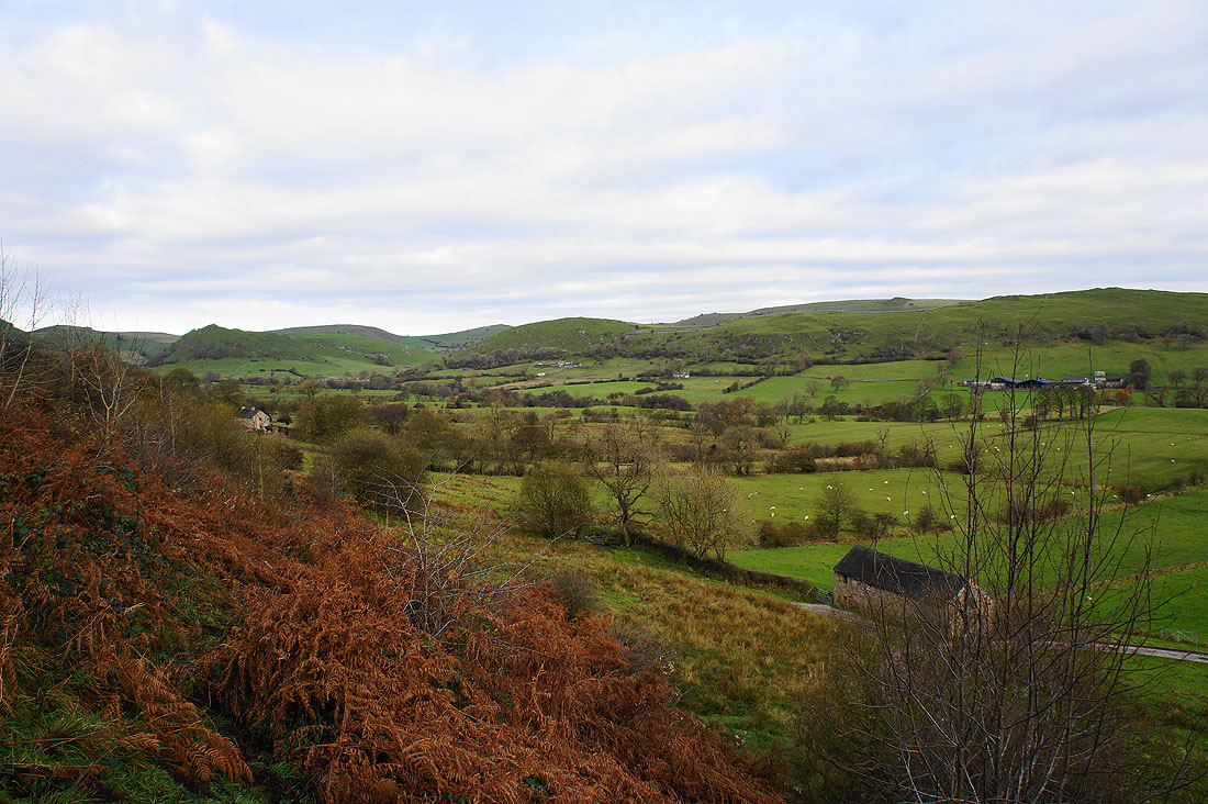
Dovedale appears as I reach the crest of the hill
and looking down the valley. The path downhill soon deteriorated into a quagmire and my boots ended up covered in mud. I spent the rest of the walk looking for opportunities to wash it off.
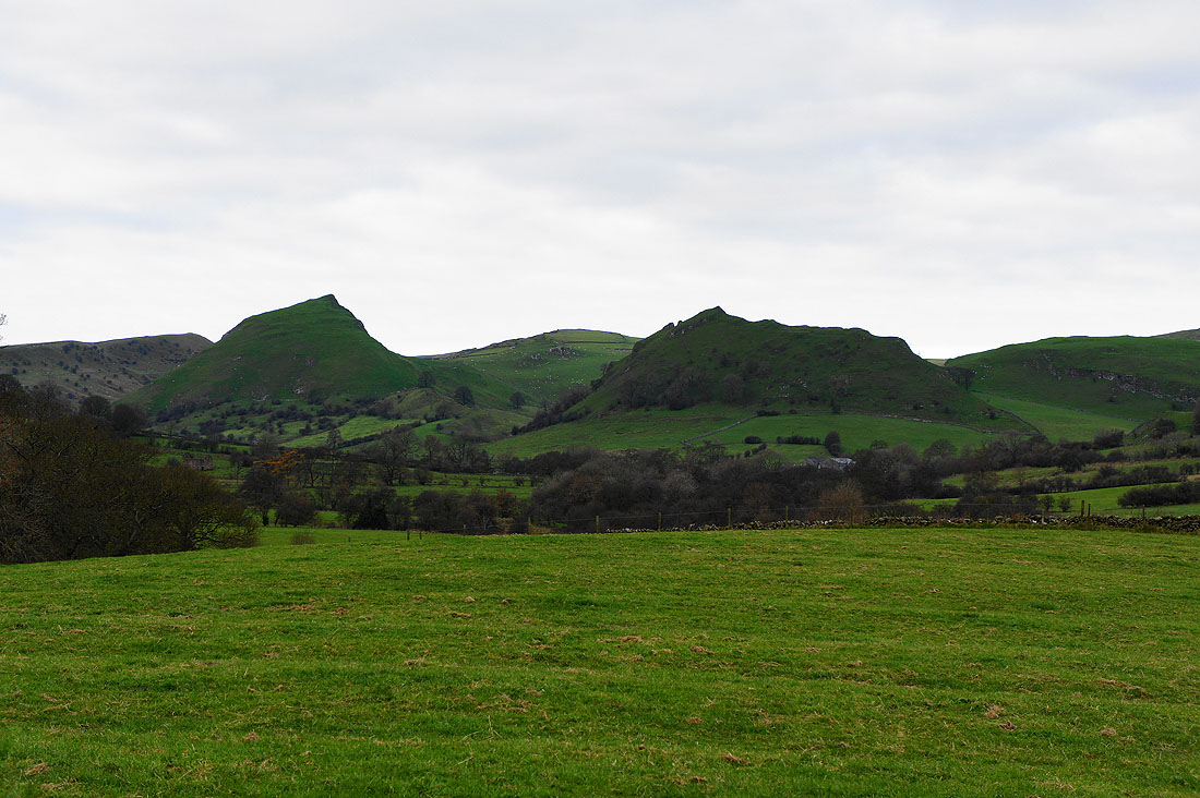
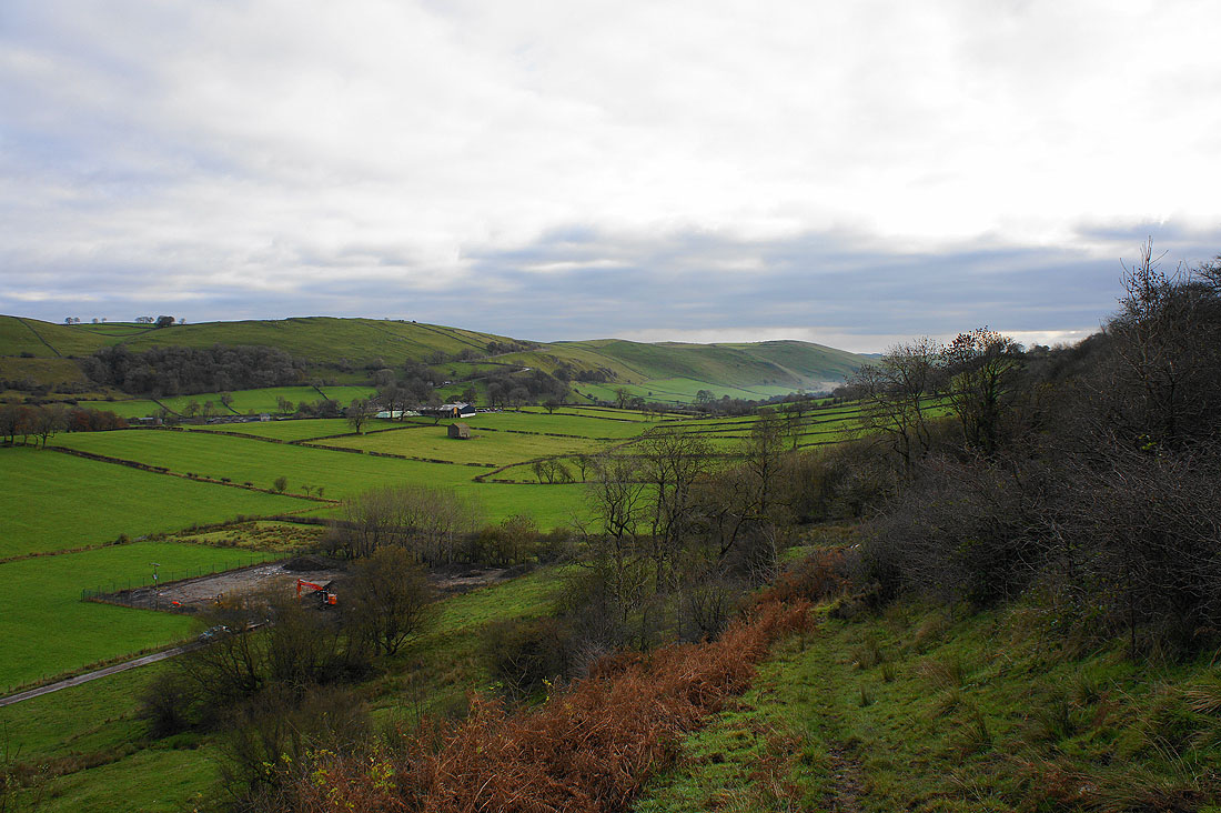
Chrome Hill and Parkhouse Hill. Can't wait to get up close with them later in the day.
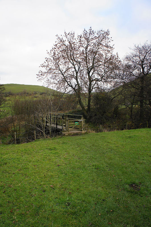
Across the River Dove at Beggar's Bridge
|
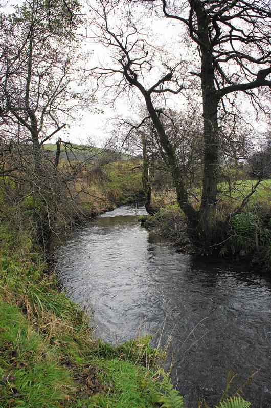
The infant River Dove
|
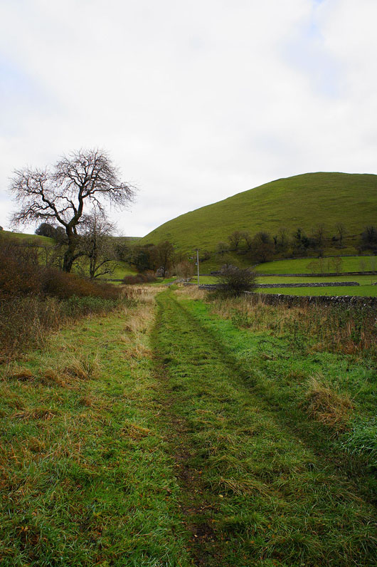
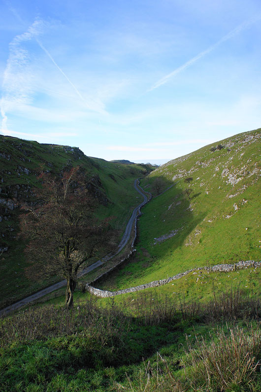
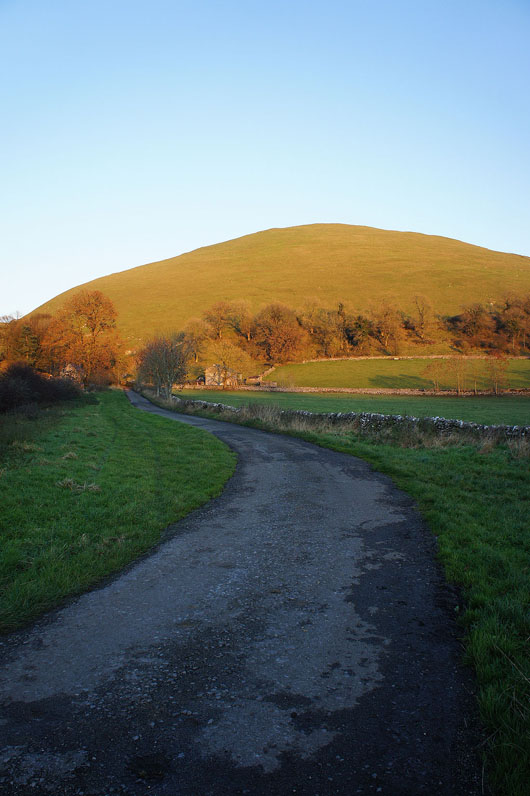
On Green Lane. My first hill of the day, High Wheeldon, is just ahead.
It's a steep climb!
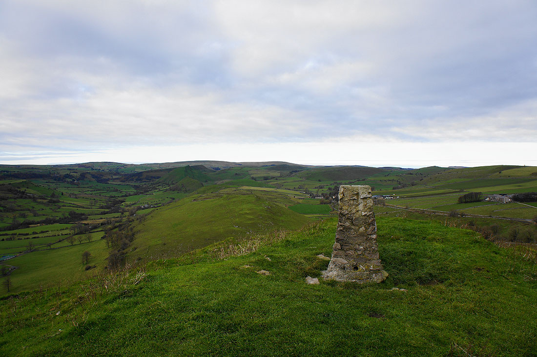
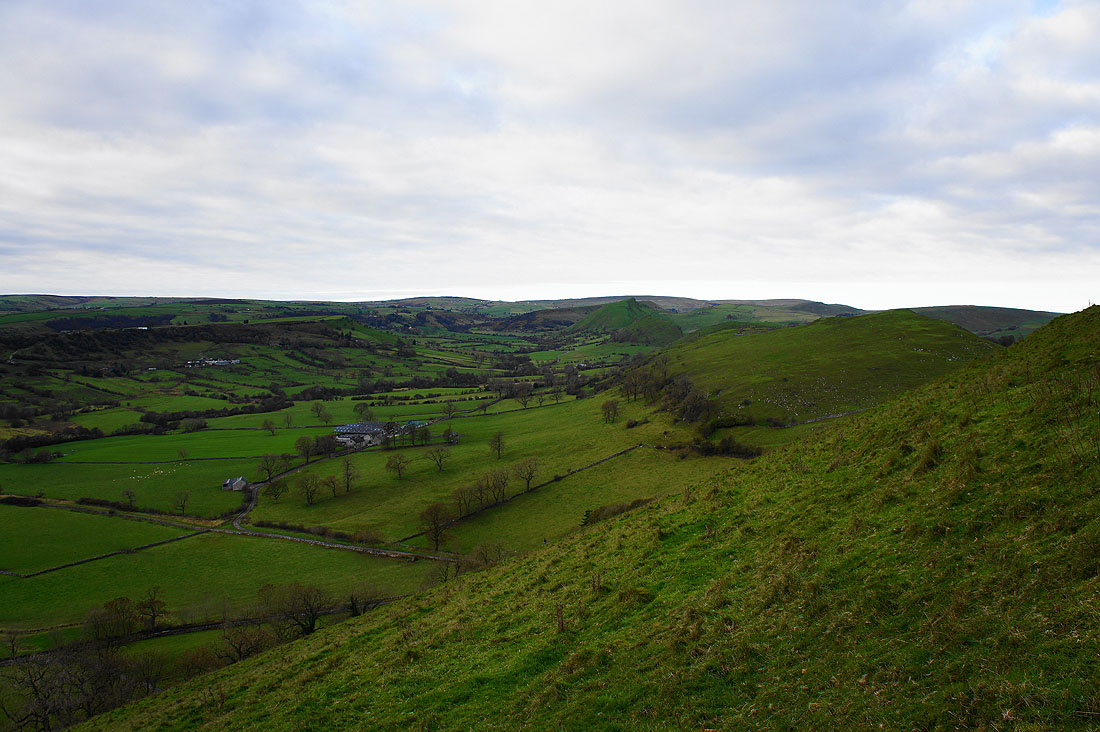
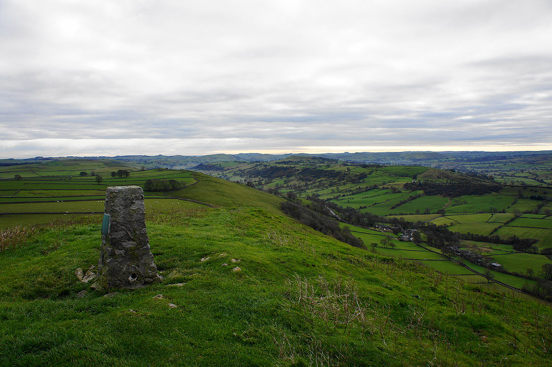
On the summit of High Wheeldon. That's Dovedale down on the left and on the right behind the trig point is the valley containing Earl Sterndale.
Earl Sterndale and Abbotside Farm below
You might be able to make out Chrome Hill and Parkhouse Hill in the distance. Those approaching clear skies and accompanying sunshine will help illuminate the scene.
Looking down Dovedale
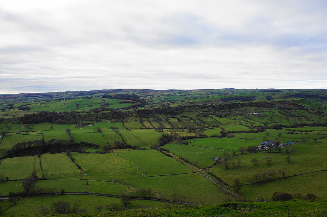
Longnor is on the other side of the ridge across Dovedale
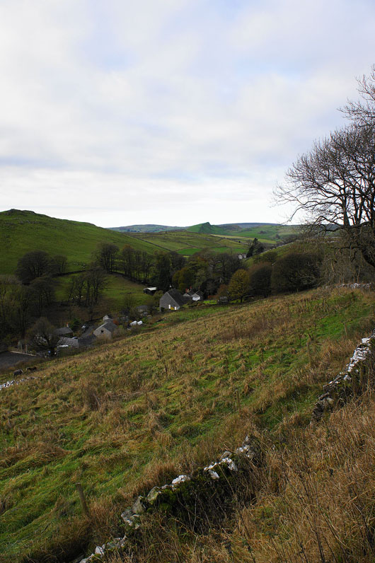
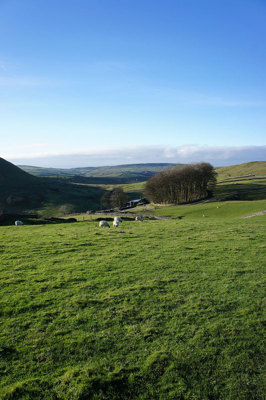
Abbotside Farm. A short, steep descent from High Wheeldon has brought me to the road to Earl Sterndale.
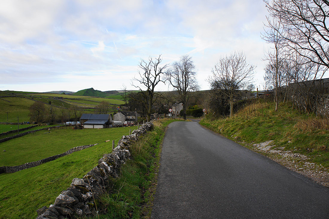
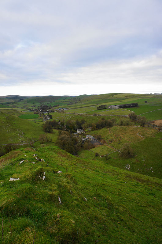
Earl Sterndale ahead
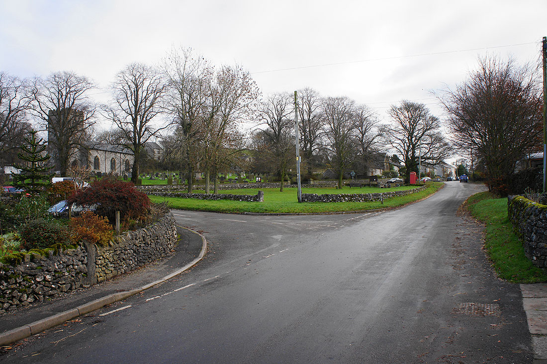
The village of Earl Sterndale
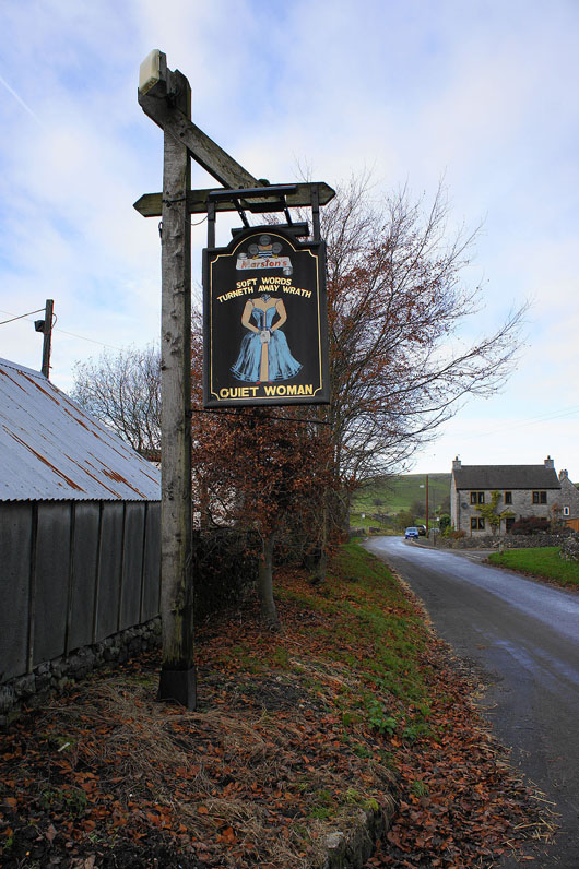
The rather unique pub sign of the Quiet Woman
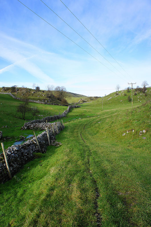
From Earl Sterndale I followed the road down Glutton Dale to Glutton Grange to pick up this path to Dowel Dale
A bit of sunshine makes all the difference. Looking back to Earl Sterndale and the pointed top of High Wheeldon.
Heading down into Dowel Dale
High Edge, the far point of todays walk is in sight at last
On High Edge. The view to the north towards Black Edge and Kinder Scout.
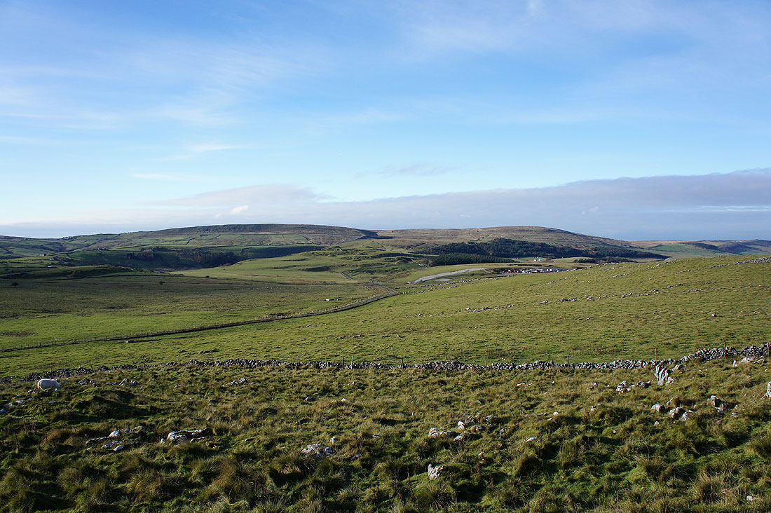
Axe Edge and Axe Edge Moor
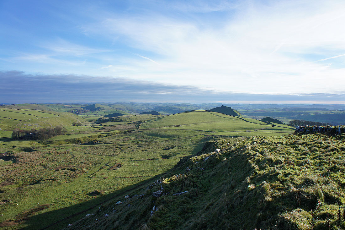
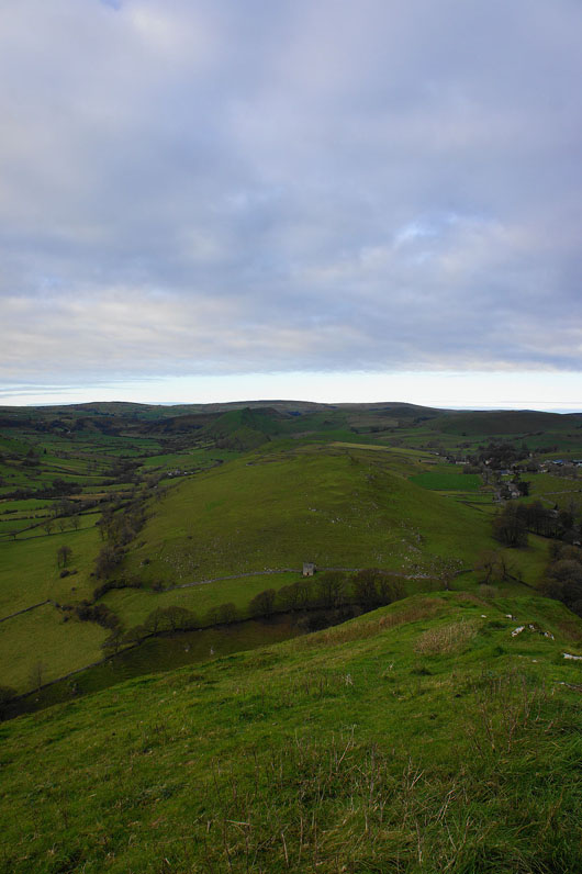
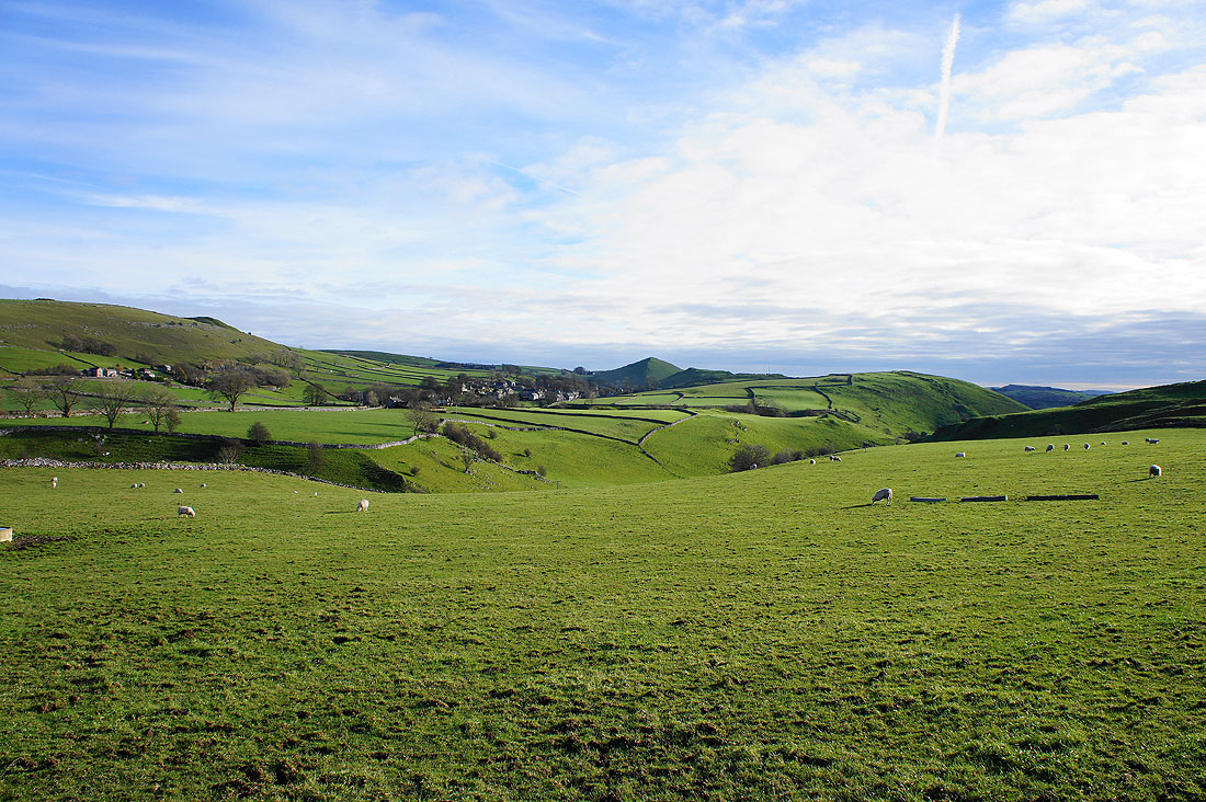
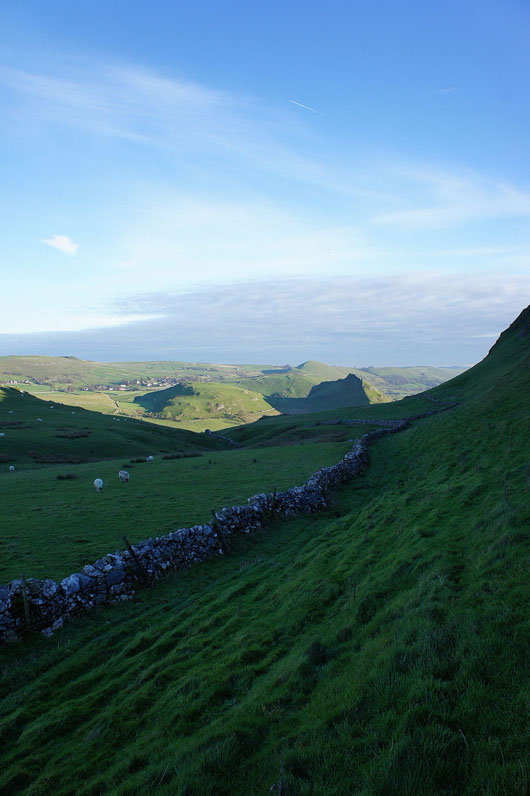
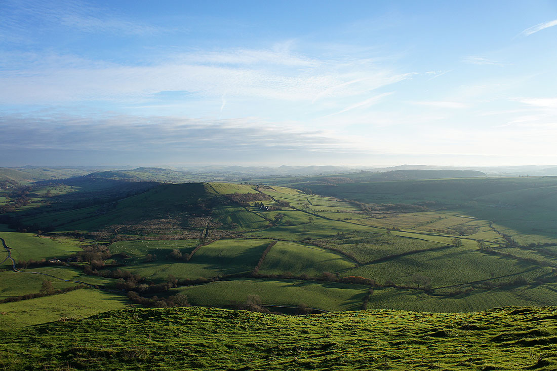
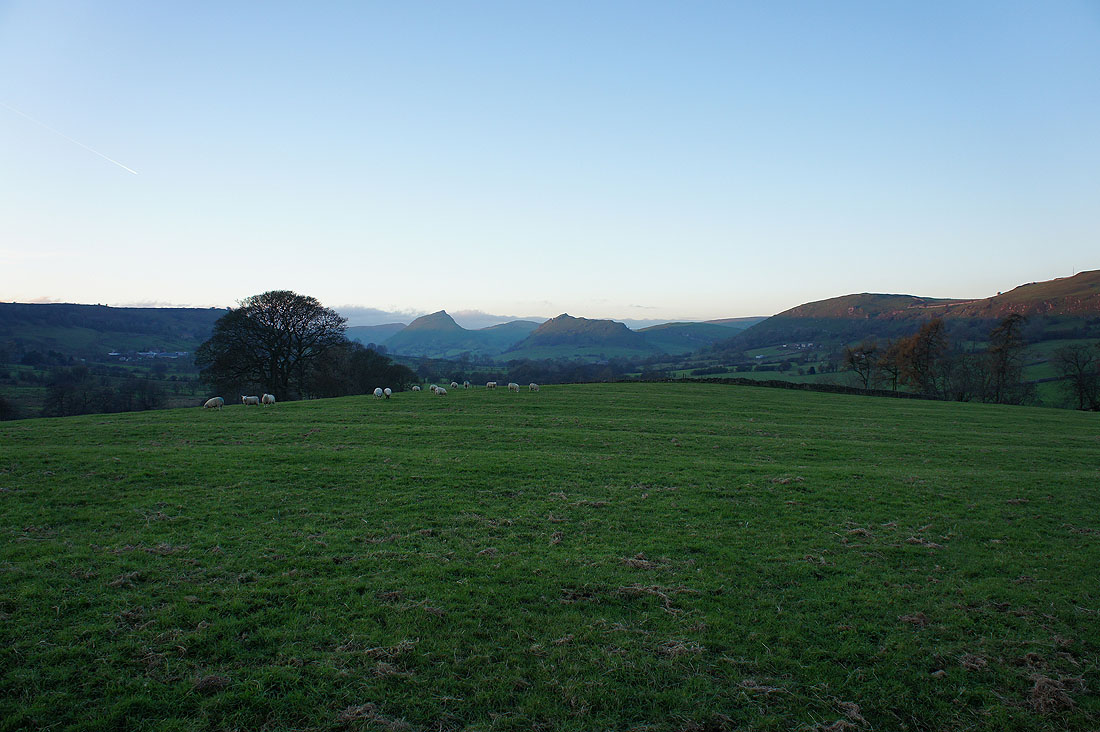
Where I've been; Dowel Dale, Earl Sterndale and High Wheeldon on the left with what's still to come, Chrome Hill on the right.
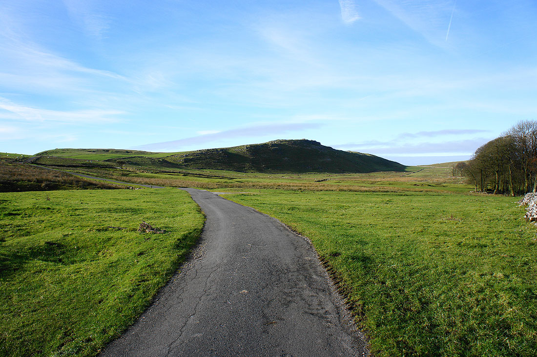
From High Edge I backtracked to take the driveway to Stoops Farm where a concessionary path gives access to Chrome Hill. Chrome Hill is on the left and Tor Rock is on the right.
Stoops Farm below
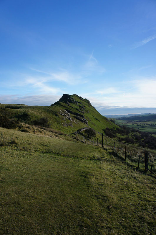
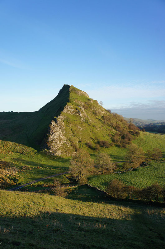
Chrome Hill ahead
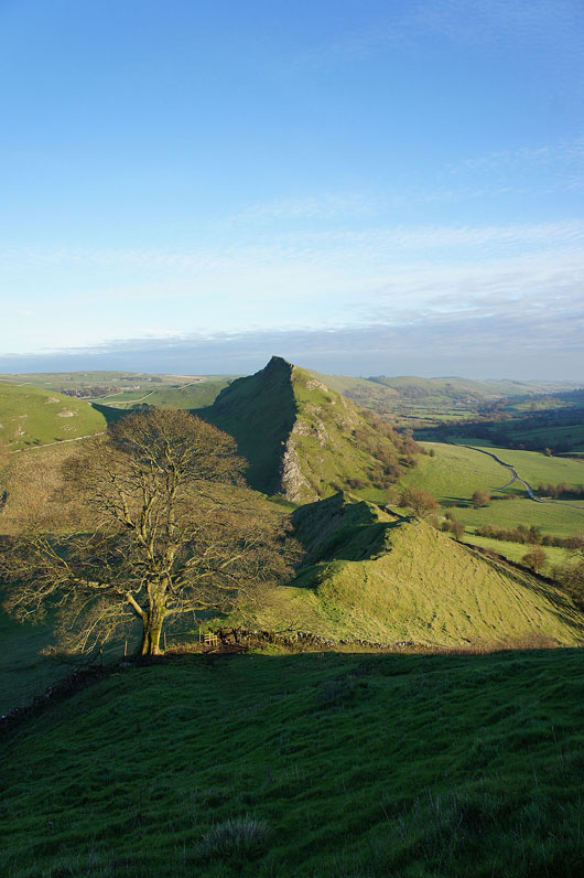
A glimpse around the side of Chrome Hill to Parkhouse Hill before I start the climb
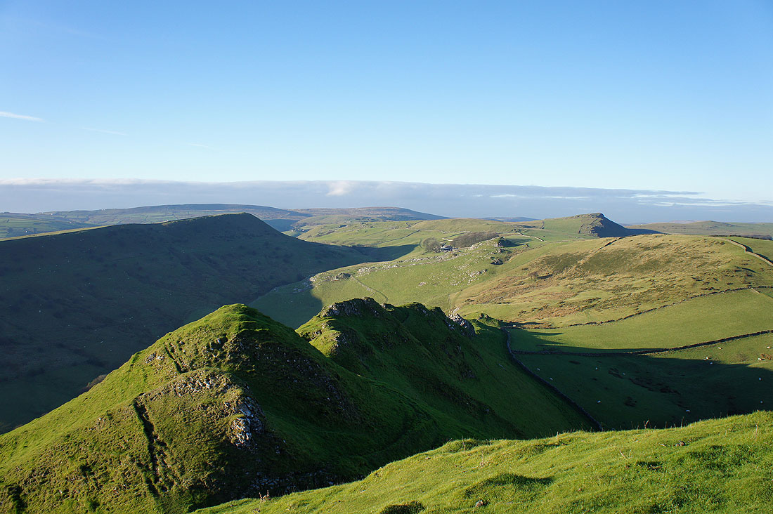
Great views to Hollins Hill and High Edge from the climb up the ridge..

and in the other direction I can see Parkhouse Hill
Time to make my descent. I think I'm going to enjoy this.
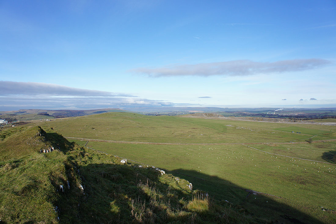
Peak District moors as far as the eye can see
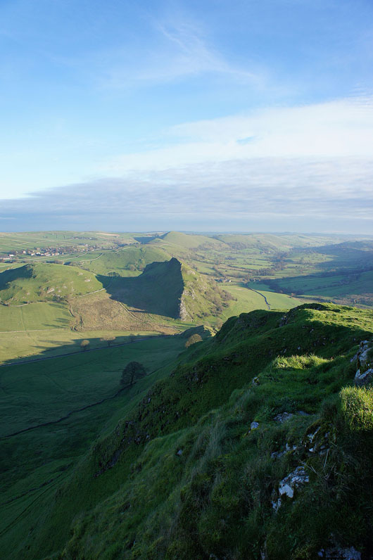
Yes. I was right. My view of Parkhouse Hill just gets better and better..
Finally down and this is Sugarloaf at the end of Parkhouse Hill
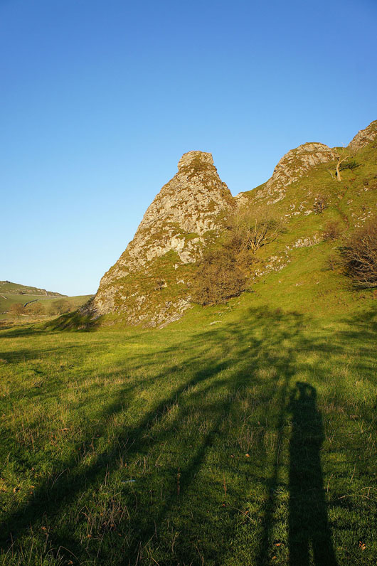
Looking back to Chrome Hill as..
..I follow the lane to Glutton Bridge
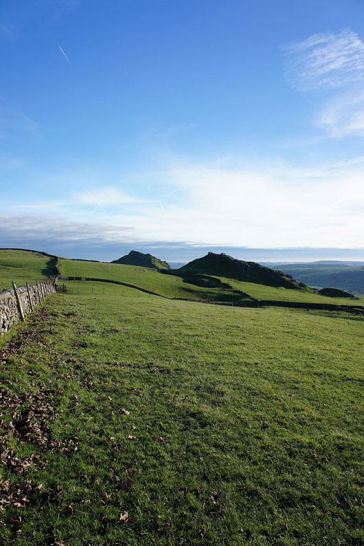
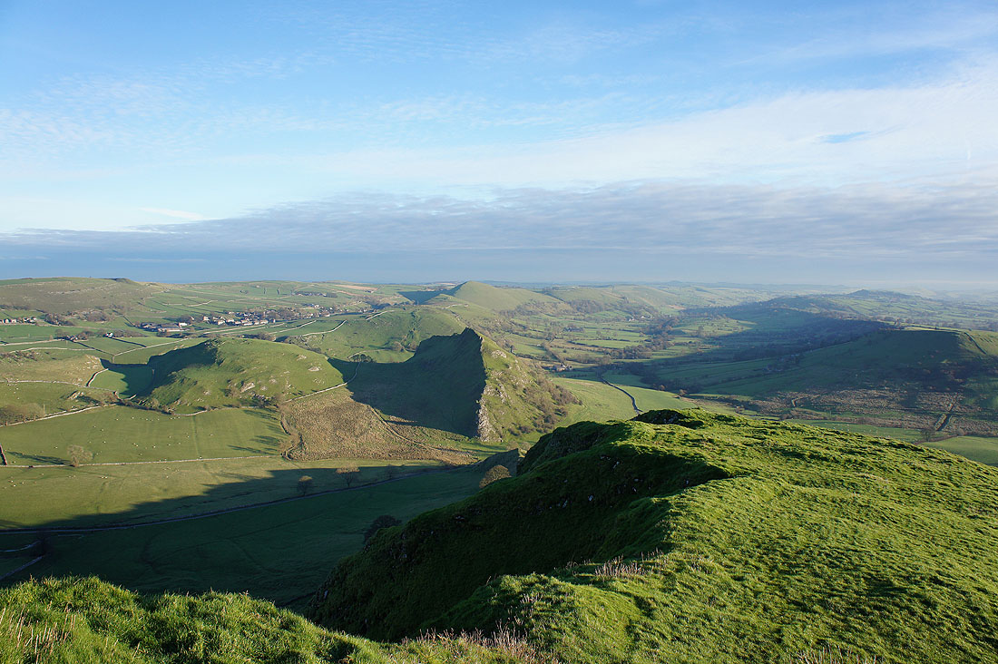
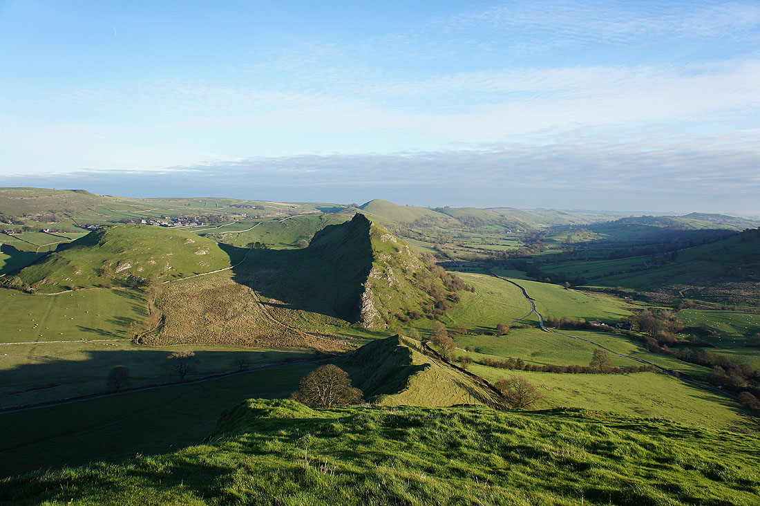
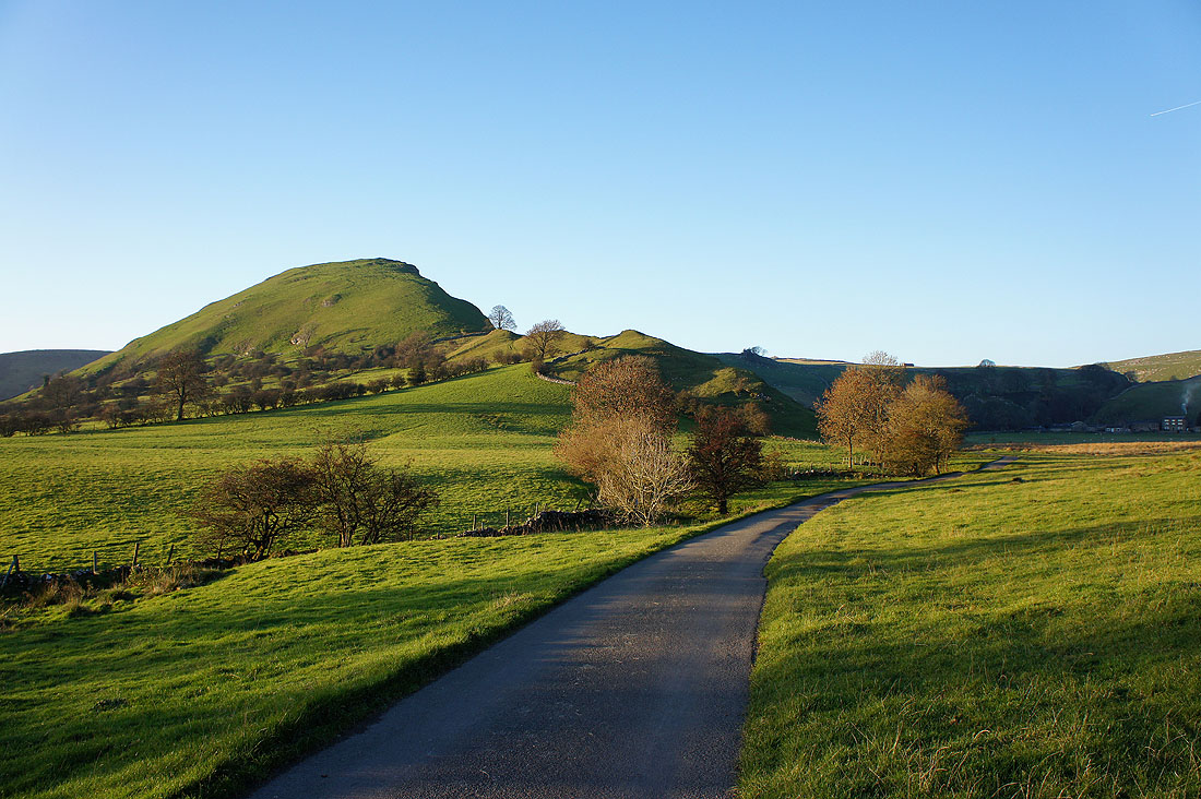
Chrome Hill and Parkhouse Hill from Glutton Bridge
and again from the bridleway to Green Lane
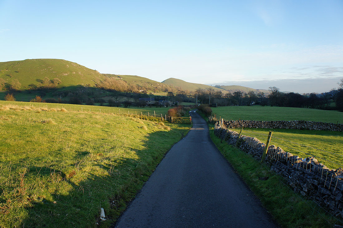
The setting sun lights up High Wheeldon. I've reached the point where my return and outward journeys overlap. Now to cross back over the River Dove for Longnor.
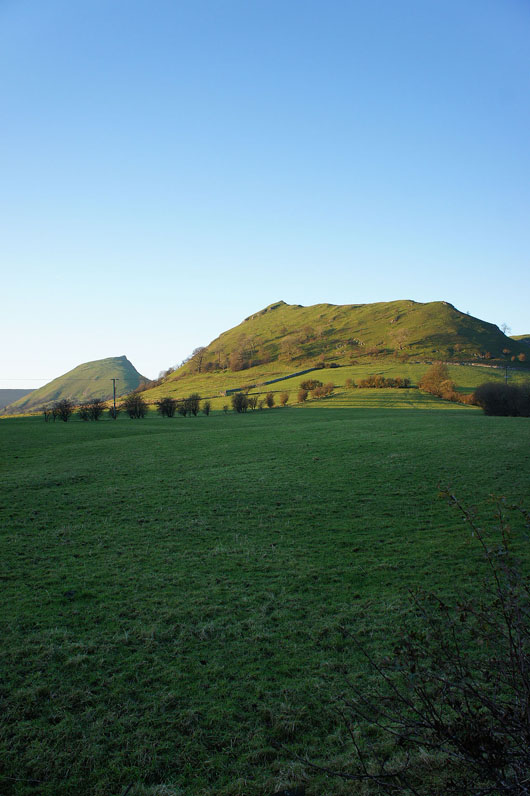
My last chance to see Chrome Hill and Parkhouse Hill for today
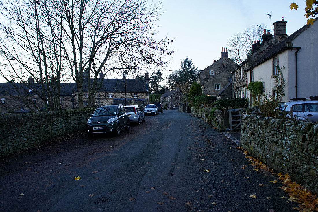
Finally back in Longnor and I took a different path to that which I left it by