23rd November 2014 - Hampsfell
Walk Details
Distance walked: 5.4 miles
Total ascent: 1156 ft
OS map used: OL7 - The English Lakes, Southeastern area
Time taken: 3.5 hrs
Route description: Grange over Sands-Eden Mount-Spring Bank-Fell End-Hampsfell-High Hampsfield Farm-Hampsfield Farm-Eggerslack Wood-Grange over Sands
A few days ago I asked Stephen, one of my brothers, if he wanted to join me on a walk today. When he said yes I then needed to decide where we could go. At the moment he doesn't have suitable footwear for tackling a big walk, we found that out doing Ward's Stone in September. So, after visiting Arnside Knott last Sunday and seeing what a great view there was from it, I decided that we'd go to Grange-over-Sands on the other side of the Kent estuary and do Hampsfell. It's a bit closer to the Lakeland fells so there should be an even better view.
The forecast for today was for overnight rain to clear and leave a fine and sunny afternoon. When we arrived in Grange the skies were starting to clear so we decided to pop into a cafe and have a coffee before setting off.
The route out of Grange wasn't that clear. We took the track that winds uphill opposite the ornamental gardens to end up in the woodland on Eden Mount. The path through the woods came out at the top of a street and fortunately I spotted a sign for Hampsfell. We then went across a couple of fields to reach the bridleway at Spring Bank. Across this and we took the path up onto Hampsfell to reach the Hospice. Our route then continued north across the fell and when the path left the plantation, east across fields to reach High Hampsfield Farm. Down the farm drive and a restricted byway took us to Hampsfield Farm and then south along the eastern side of the fell into Eggerslack Wood. A path down through the woods brought us out on the Windermere Road back in Grange.
A very enjoyable post-walk meal of haddock and chips was had at The Pheasant Inn in Allithwaite just down the coast.
Route map
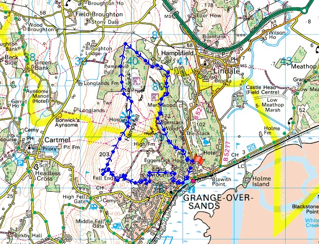
© Crown copyright. All rights reserved. License number PU 100034184.
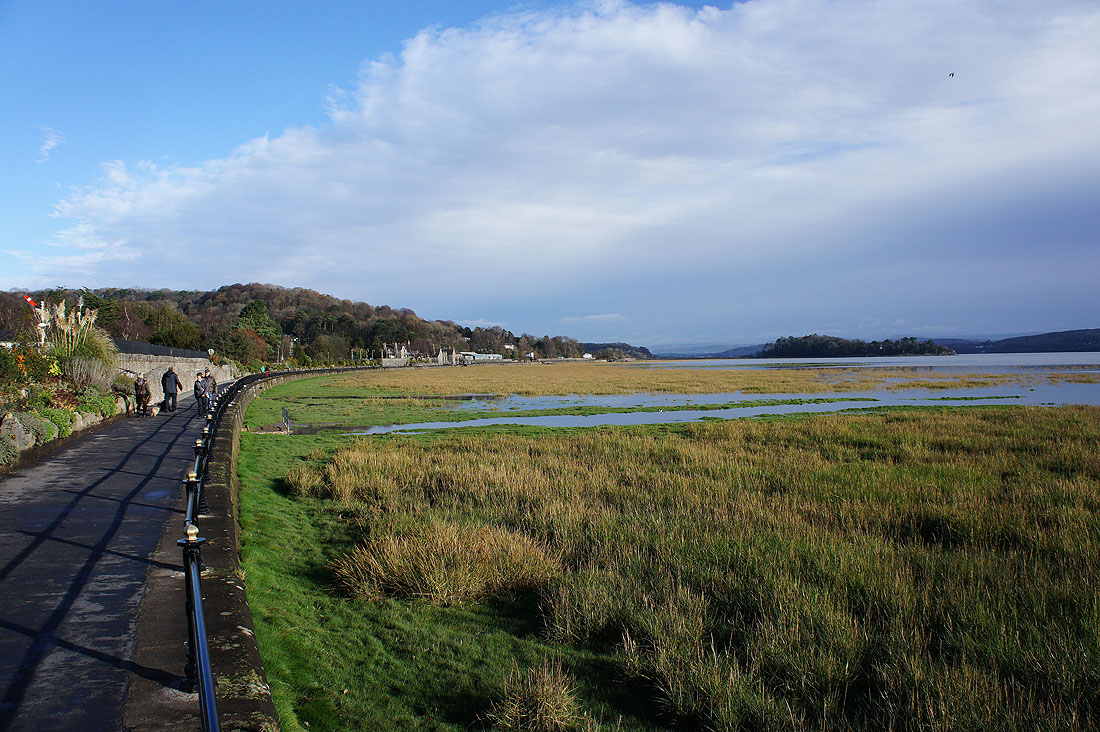
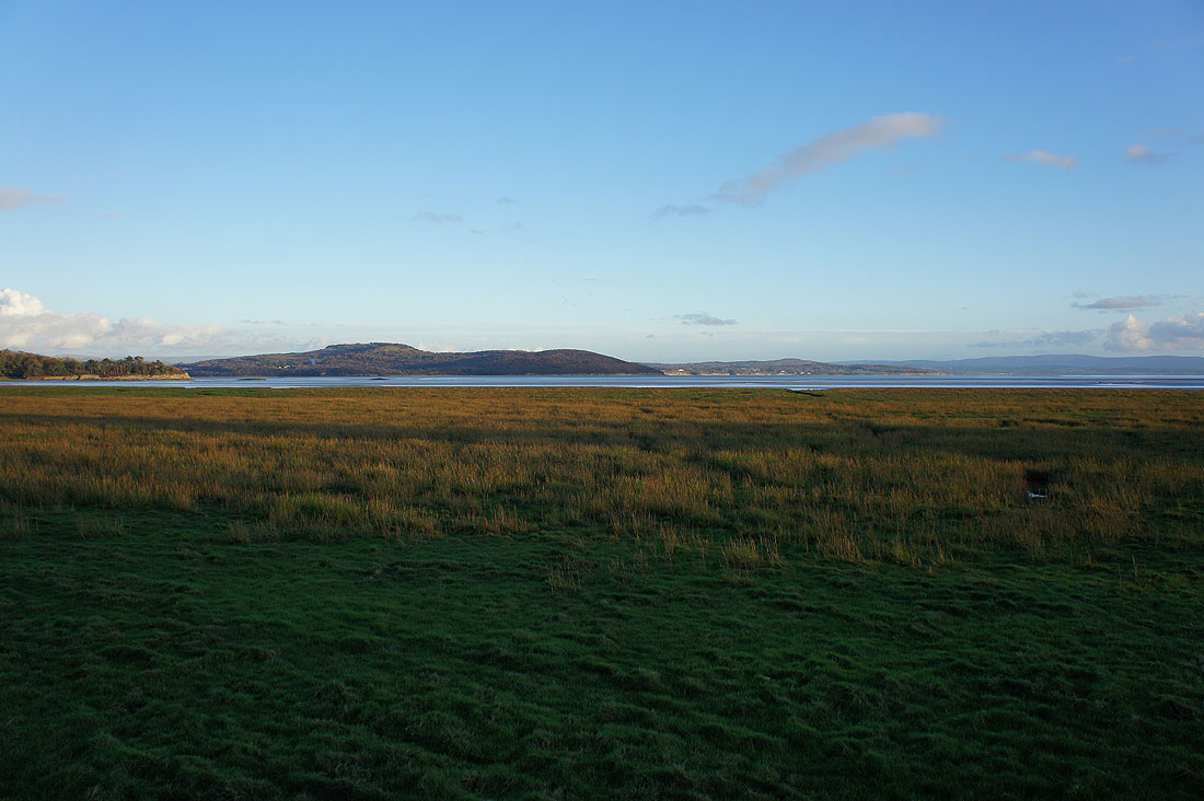
Before we leave Grange, a quick visit to the promenade to have a look at the view
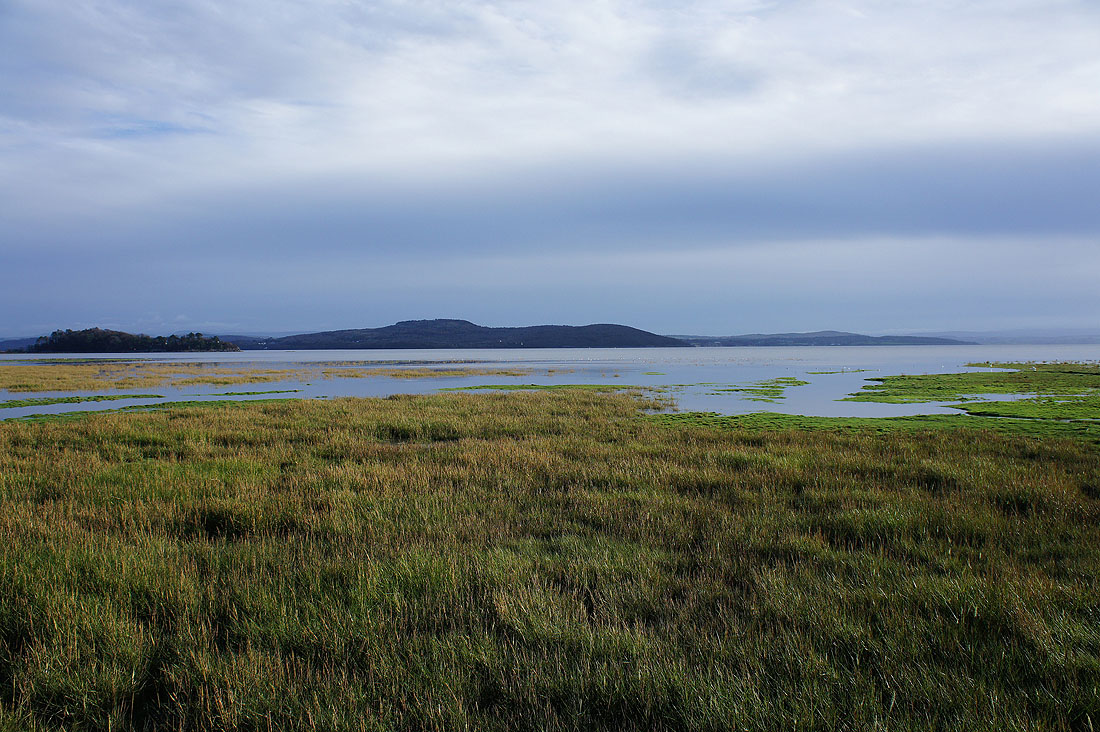
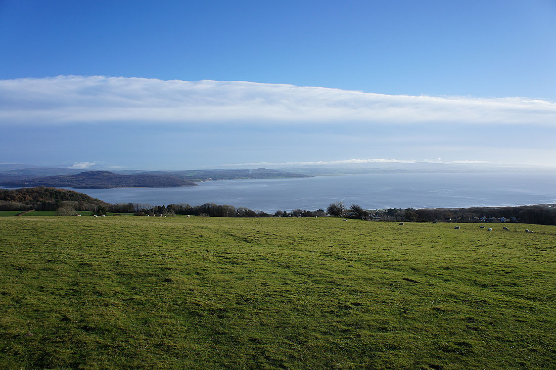
The tide is most definitely in and covering a lot of the salt marsh on this part of the coast. Arnside Knott on the other side of the Kent estuary is still in shadow as the cloud continues to clear to the southeast.
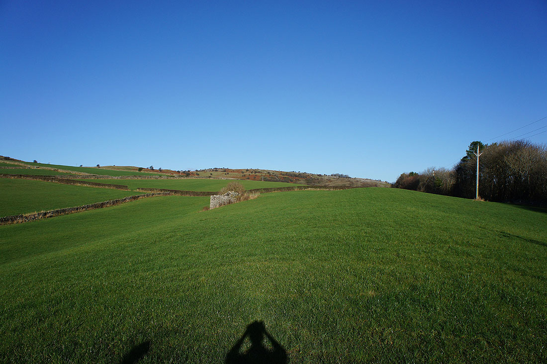
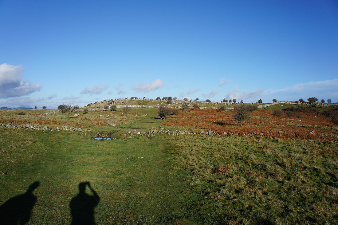
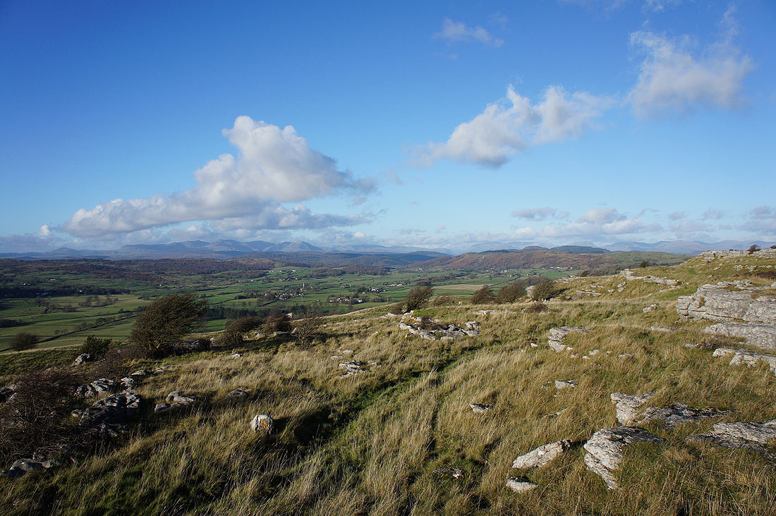
That's better. After wandering through the woodland on Eden Mount and not being entirely sure where I was we're in open country at last. Looking up towards the limestone on Hampsfell and bright blue skies.
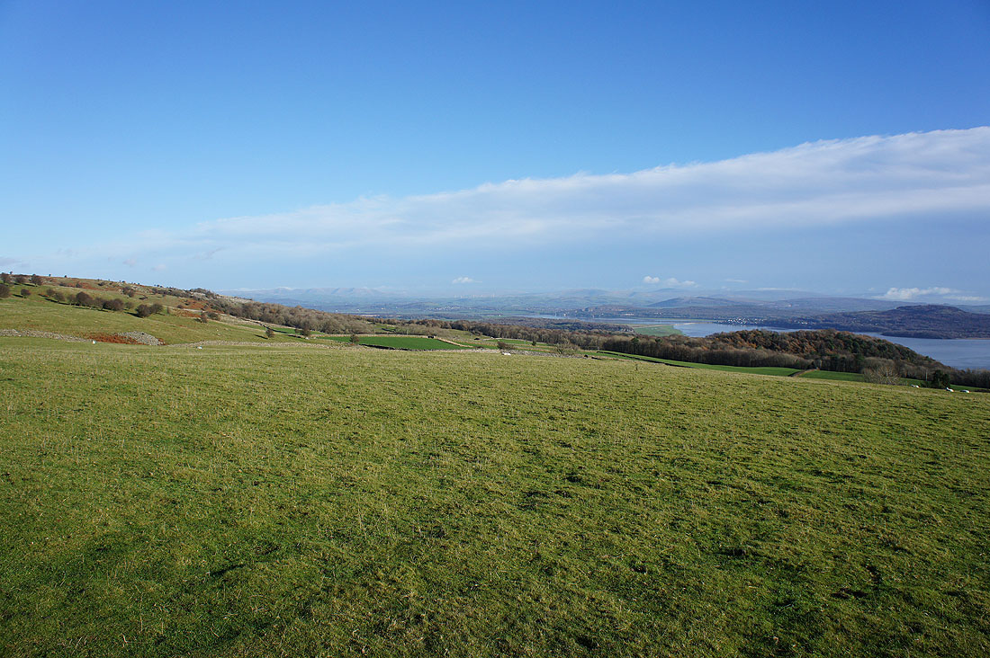
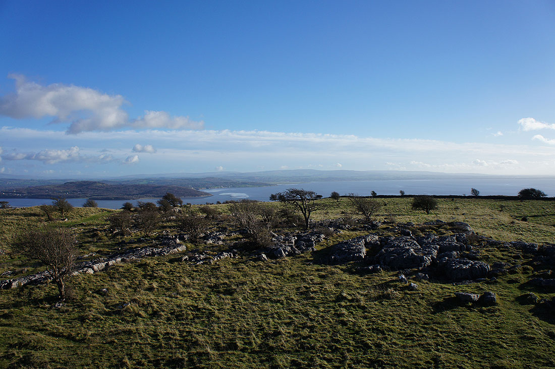
Before heading up Hampsfell, a short diversion to the cairn on Fell End. Extensive views from the Howgills on the left to Middleton Fell, Great Coum, Gragareth and the River Kent.
Arnside Knott and the Lancashire coast on the other side of Morecambe Bay. There's still some low cloud on the fells of the Forest of Bowland as the front continues to move way.
and finally the Coniston fells. There promises to be a great view from the summit.
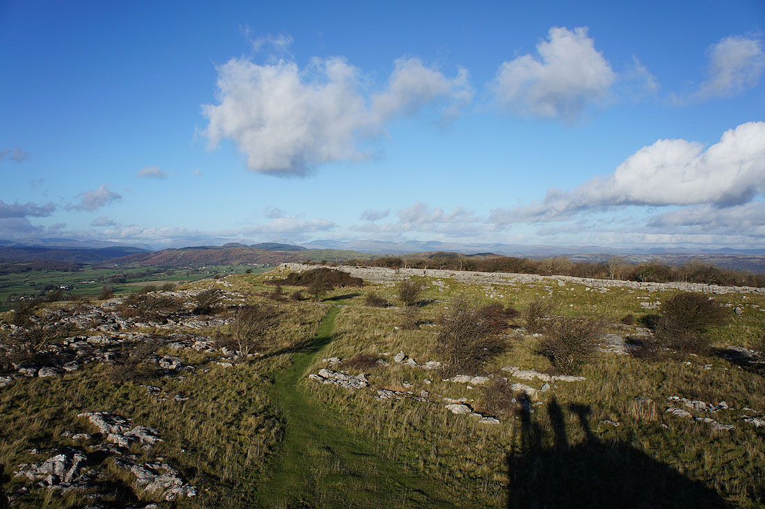
The top of Hampsfell and the Hospice is in sight
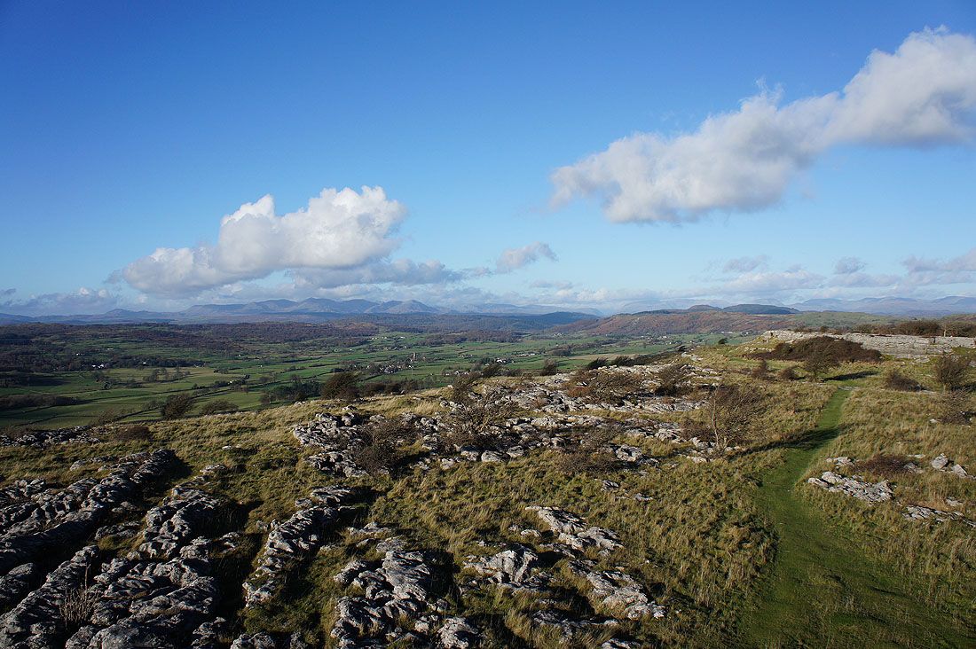
We've had our lunch, so time to take in the view. The Coniston fells are on the left, then going round to the right, the Langdale Pikes, High Raise and Ullscarf. Next is the gap of Dunmail Raise, rising to Helvellyn then Fairfield, Red Screes and the High Street fells.
We're on top of the Hospice. The extra bit of height helps make the view more extensive. Looking north to Helvellyn, Fairfield, Red Screes, High Street, Harter Fell and the Shap fells.
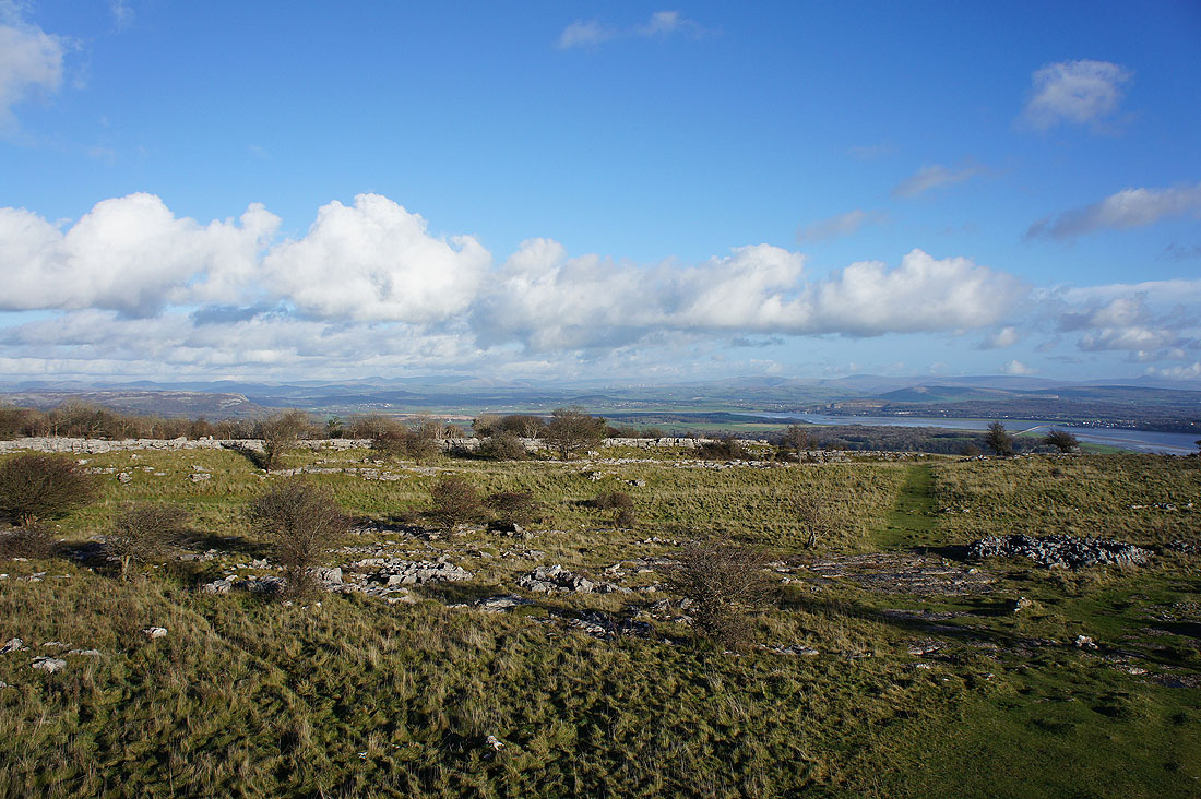
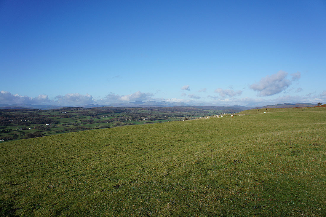
To the northeast, the Whinfell ridge, the Howgills, Middleton Fell, Great Coum and Gragareth
To the east, Great Coum, Gragareth, Ingleborough with a bit of cloud next to its summit and Arnside Knott on the other side of the River Kent
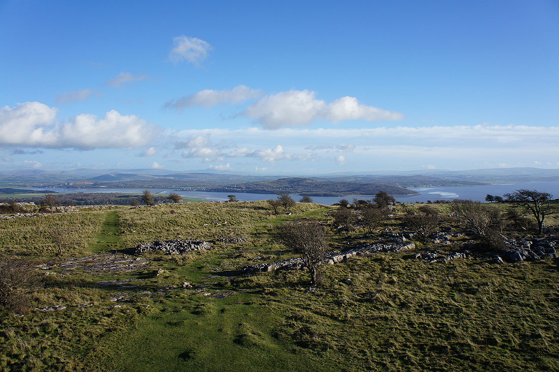
Looking across Morecambe Bay to the fells of the Forest of Bowland
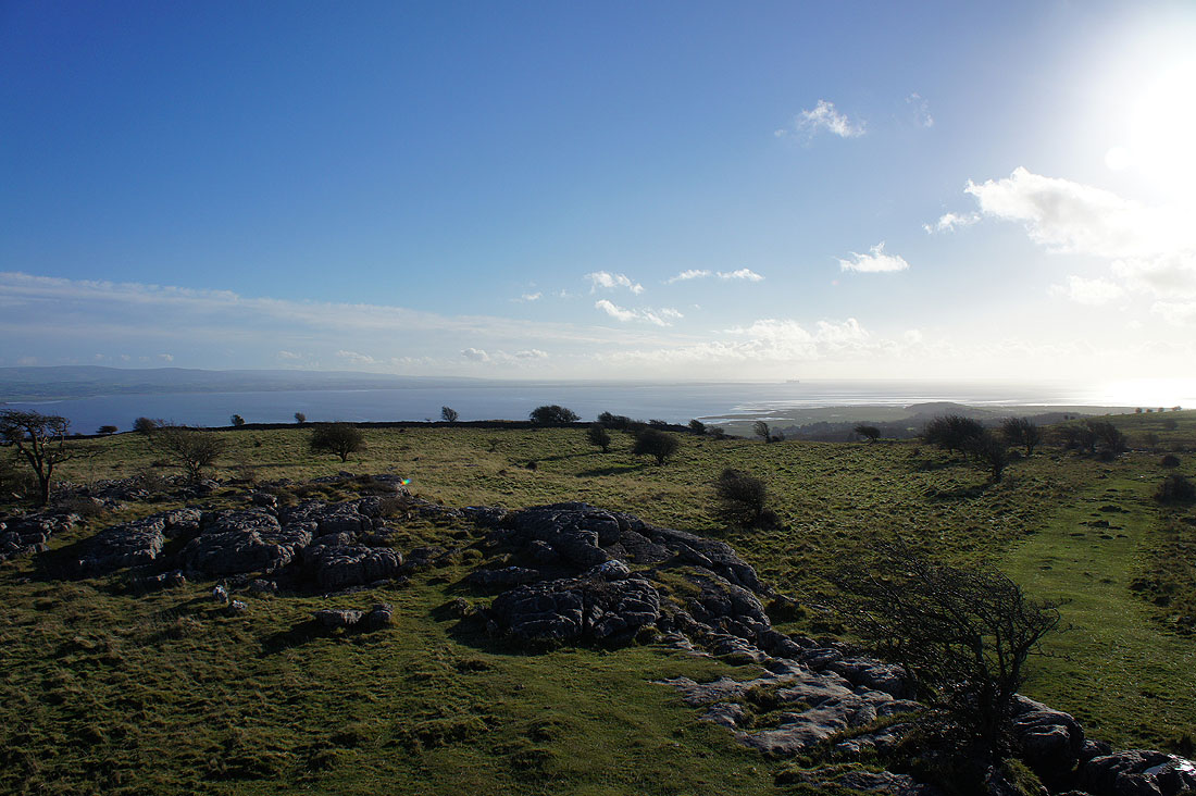
and down the Lancashire coast to Heysham
Finally looking northwest to the Coniston fells and the Langdale Pikes
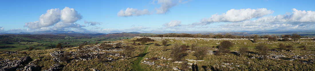
A fantastic panorama from northwest round to northeast and a download with annotation available below
| hampsfell_panorama.jpg |
Heading north off the fell
High Hampsfield Farm ahead
Making our way through Eggerslack Wood
Back in Grange and we had time to change out of our boots and get down to the promenade for the sunset
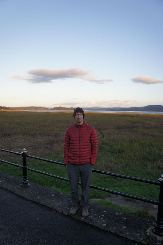
Stephen and..
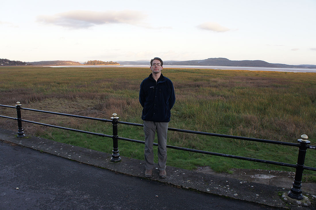
..me on the promenade