23rd October 2016 - Barrowford to Barley and back
Walk Details
Distance walked: 7.1 miles
Total ascent: 1240 ft
OS map used: OL41 - Forest of Bowland & Ribblesdale
Time taken: 3.5 hrs
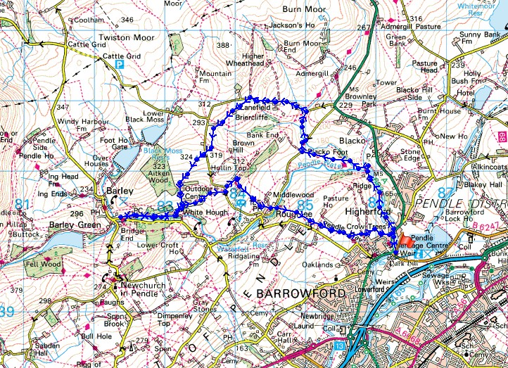
Route description: Barrowford-Pendle Way-Blacko Bar Road-Pendle Way-Wheathead Lane-Lower Briefcliffe-Higher Briercliffe-Stang Top Moor-Pendle Way-Barley-Pendle Way-Roughlee-Pendle Way-Higherford Old Bridge-Pendle Way-Barrowford
This walk today was a bit of bonus. James from Barrowford contacted me through the Facebook page for this site earlier in the week and asked if he could join me on a walk. I prefer to and usually do walk on my own but I was happy to agree to what we decided on. A walk from Barrowford to Barley and back. With James being new to walking I hope this was helpful and provided encouragement for him to continue exploring his local area. It was how I started out many years ago. It was a beautiful autumn morning for our walk; bright blue skies and fresh air, it's just one of the things that makes walking at this time of the year so enjoyable. Lunch was taken at the picnic site in Barley and it was very busy. We weren't the only ones out enjoying the sunshine.
From the car park for the Pendle Heritage Centre where we met up we took the Pendle Way trail by Pendle Water to Higherford Old Bridge, then by Pendle Water to Water Meetings and up to Blacko Bar Road. The trail follows the road to the right briefly before heading through a patch of woodland to Wheathead Lane. We then walked up Wheathead Lane to reach the drive to Lower Briercliffe Farm. A footpath follows the drive then goes through the farmyard, across fields to Higher Briercliffe Farm and to the road below Stang Top Moor. We crossed the road onto the bridleway over Stang Top Moor and down to the Whitehough Outdoor Centre where the Pendle Way was joined to take us to Barley. After having lunch in Barley the Pendle Way was followed for most of the return to Barrowford. Back to the Whitehough Outdoor Centre, over to Roughlee and it was only on the final approach to Barrowford that it was left for field paths to reach the A682 next to Higherford Old Bridge. A short walk was then left back to the car park.
Route map
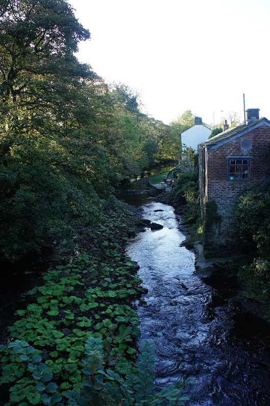
Pendle Water in Barrowford
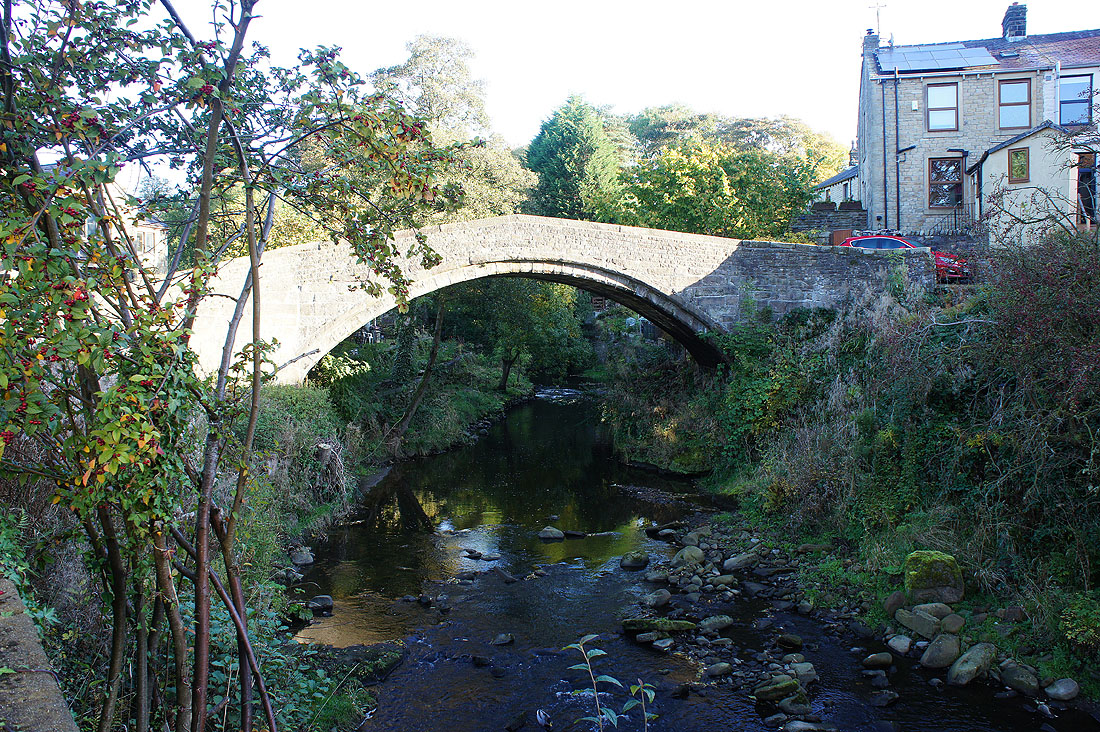
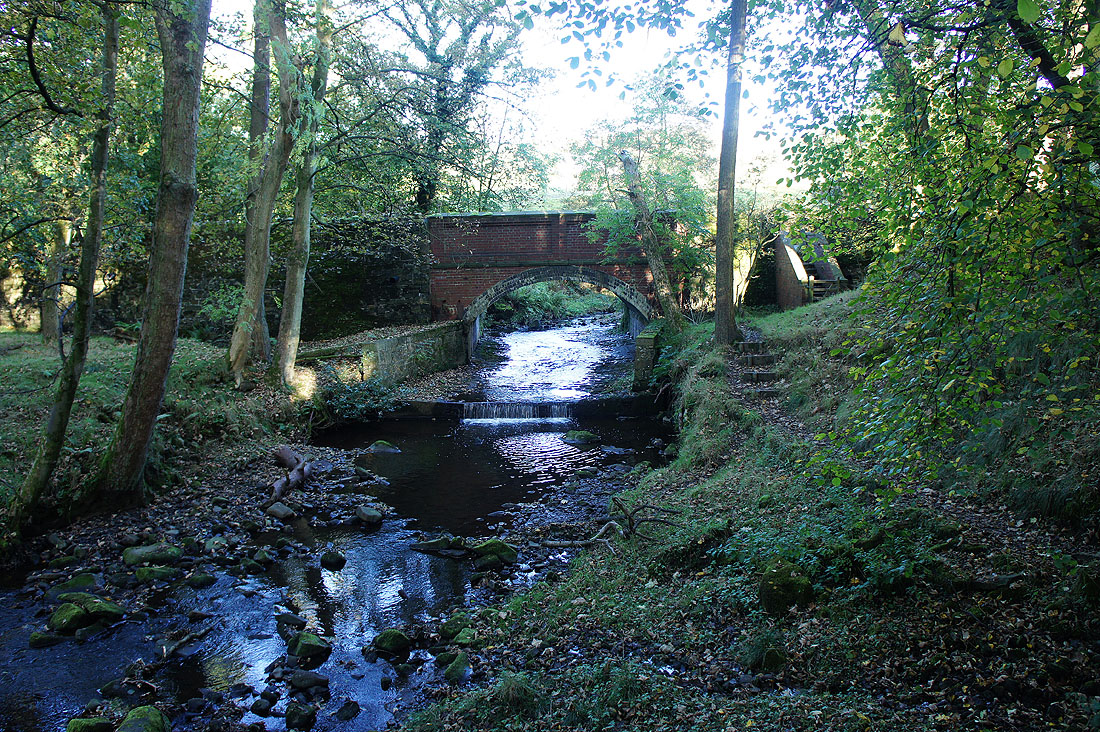
Higherford Old Bridge
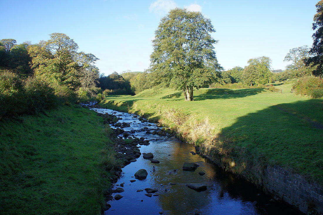
Pendle Water at Water Meetings
It's a lovely morning as we follow the Pendle Way towards Blacko Bar Road
To our right rises Wheathead Height and Burn Moor
We'll leave the Pendle Way for now where Wheathead Lane crosses Admergill Water
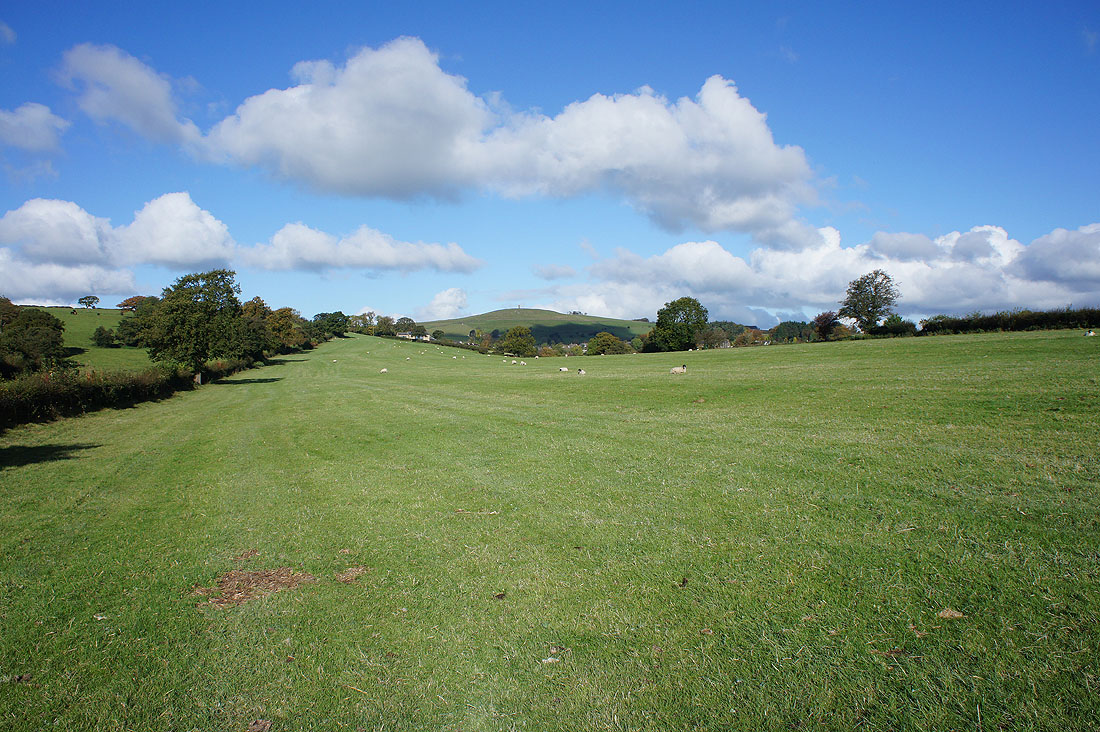
Blacko Hill with Stansfield Tower atop it on the left and Boulsworth Hill in the distance on the right from the drive to Lower Briercliffe
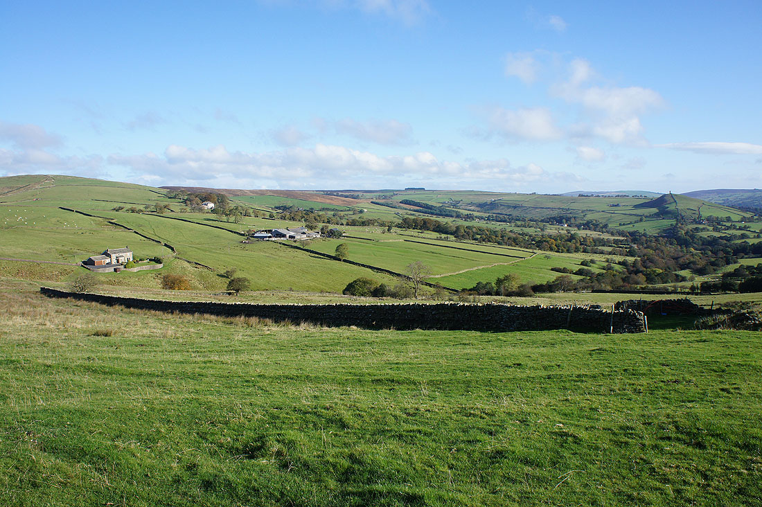
Burn Moor and Blacko Hill from Higher Briercliffe
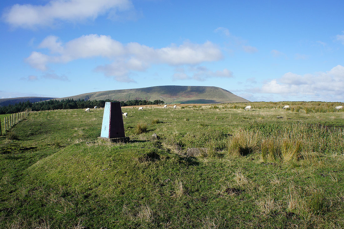
Pendle Hill from the trig point on Stang Top Moor
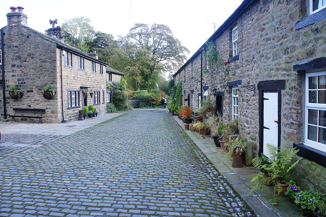
I really like these two rows of cottages that the Pendle Way passes between heading into Barley
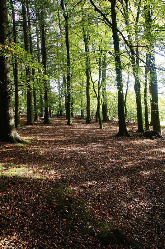
Leaving Barley on the Pendle Way and the sun casts a dappled light on the floor of the wood next to the outdoor centre
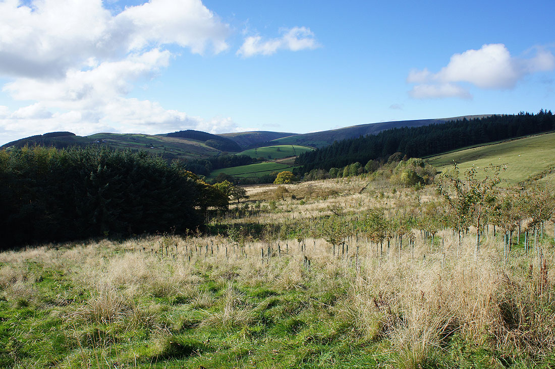
The hills that surround Barley
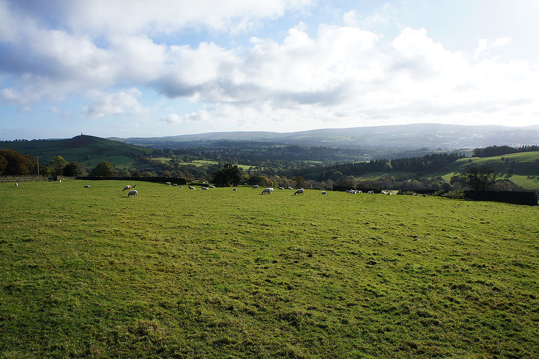
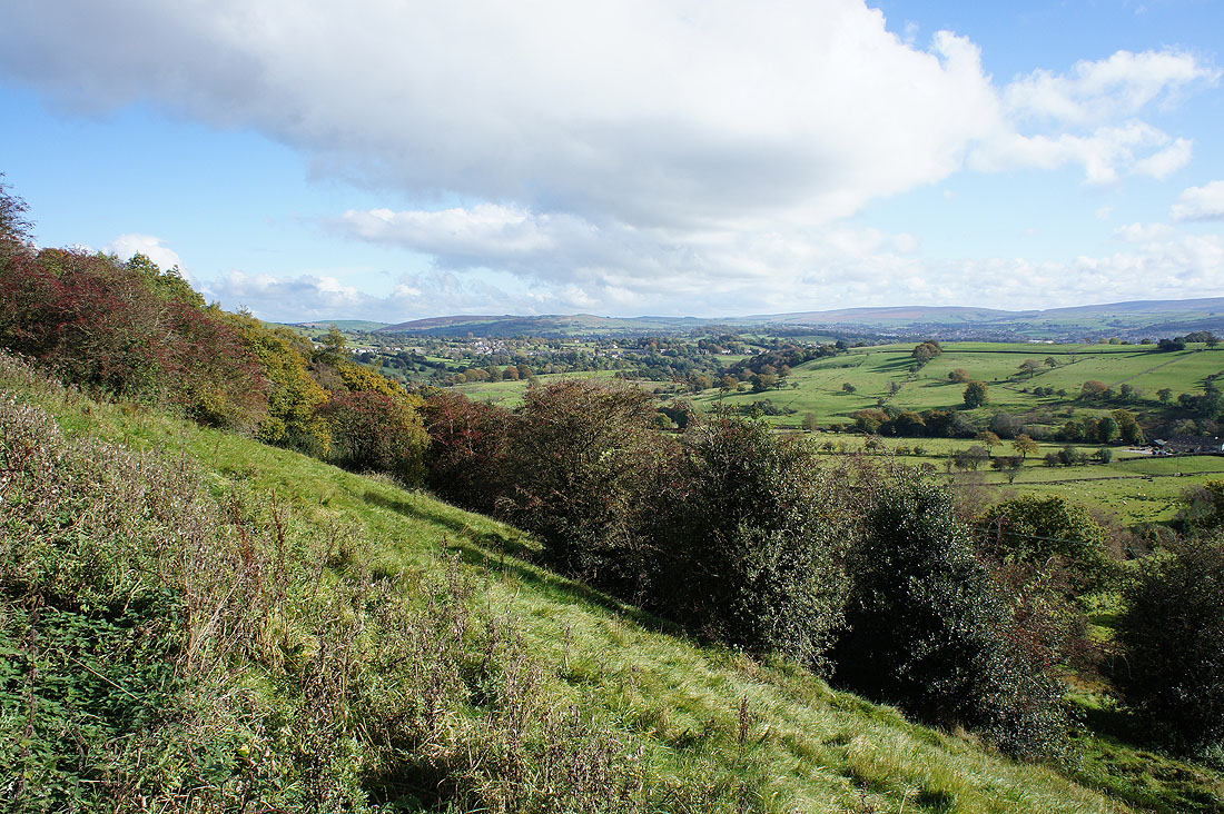
Looking east towards Blacko, and beyond to the moorland above Foulridge as the Pendle Way descends to Roughlee
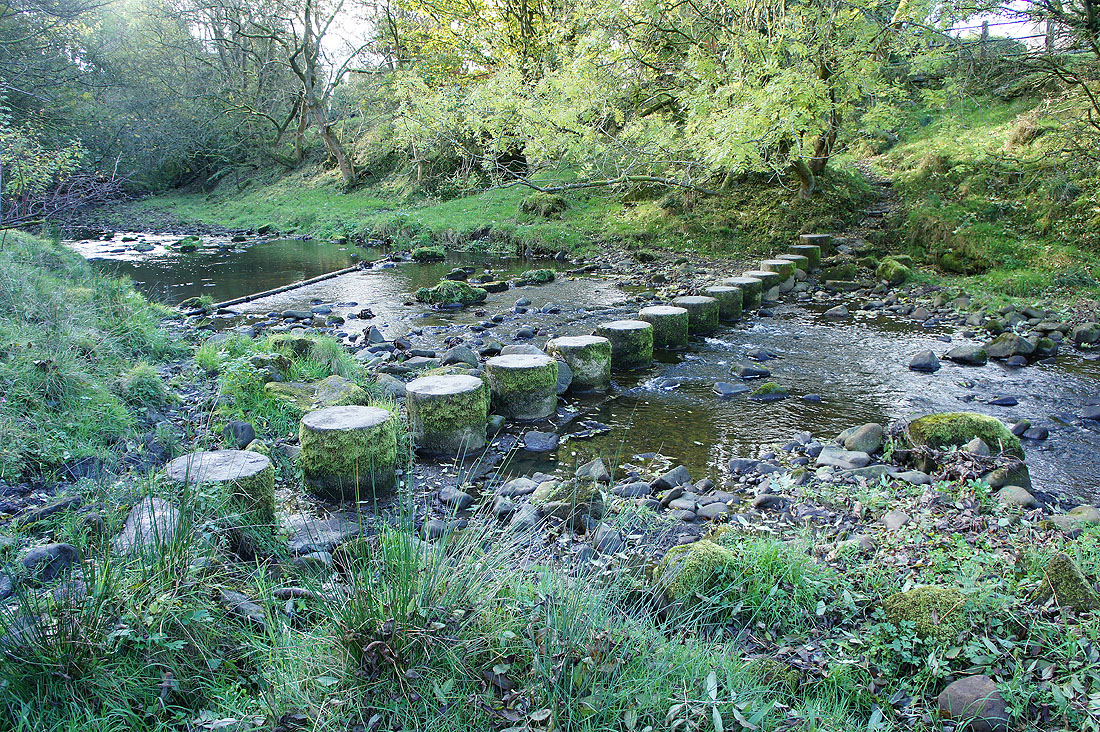
Across the stepping stones over Pendle Water
Burn Moor and Blacko Hill as the Pendle Way climbs from Roughlee
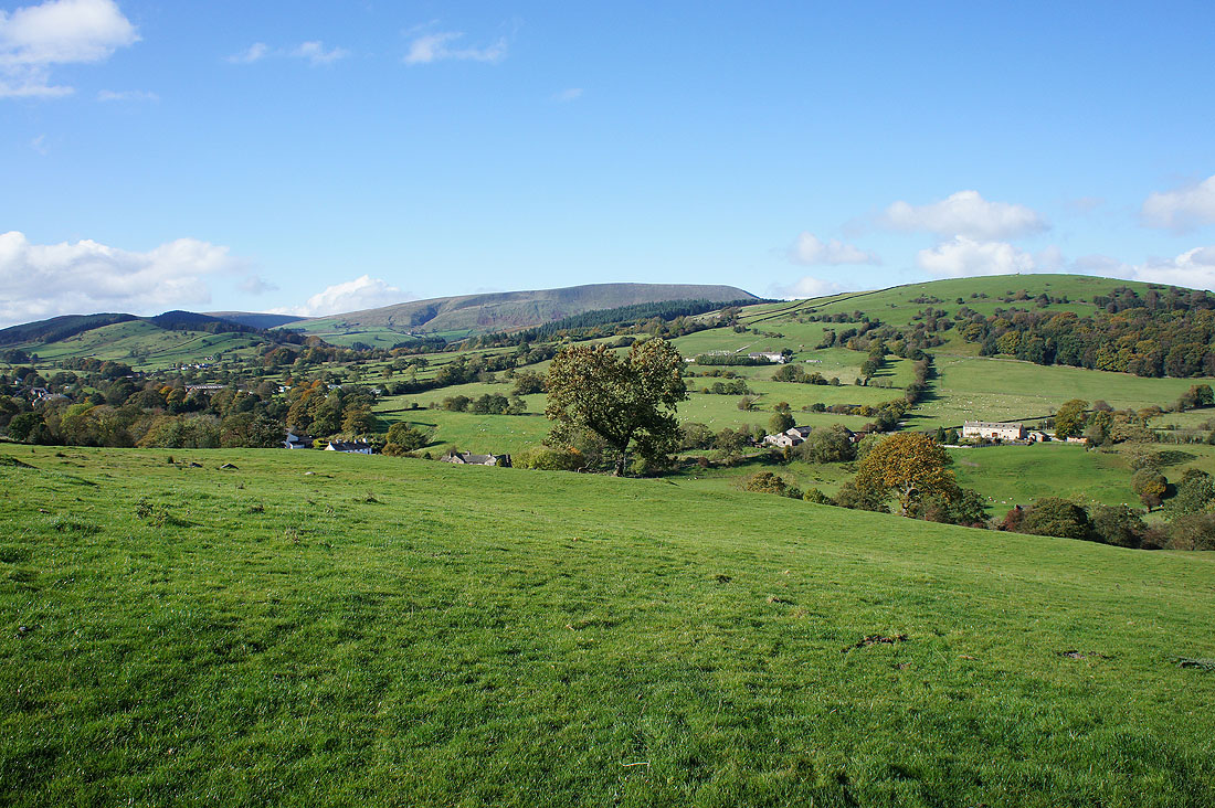
and looking back there's a good view of Pendle Hill towering above the nearby moors
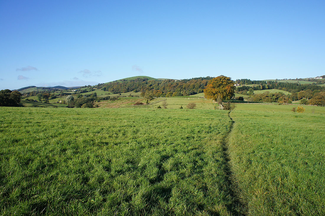
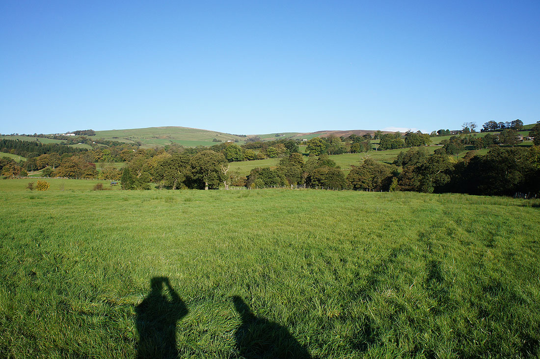
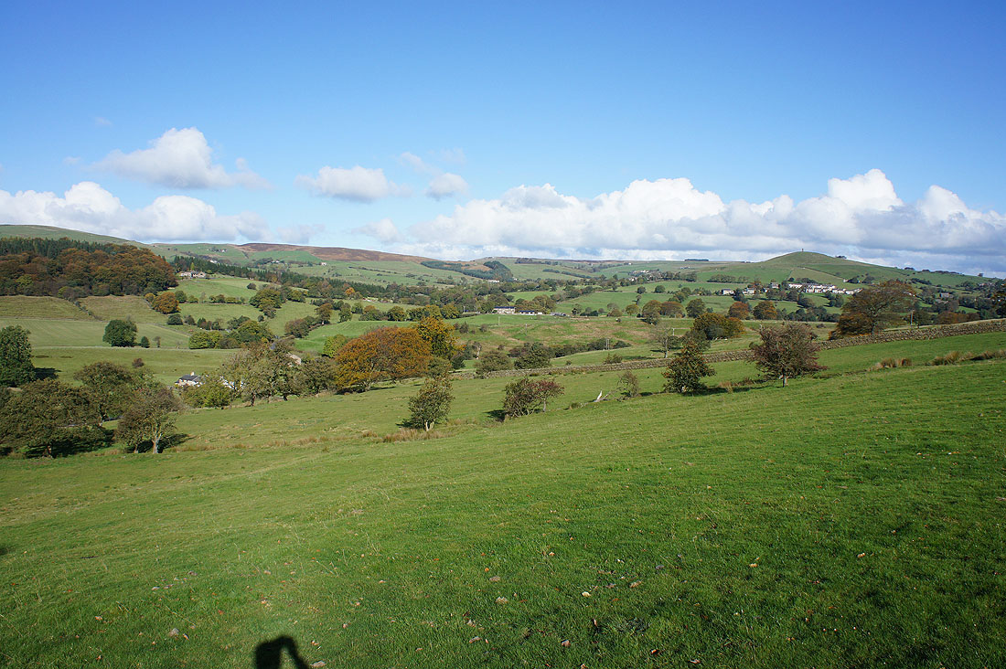
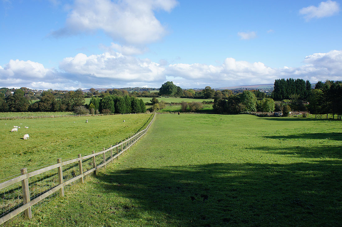
The rest of the route back to Barrowford was through fields with nice views of the surrounding countryside..
