23rd October 2021 - Mill Gill Force and Ellerkin Scar
Walk Details
Distance walked: 10.0 miles
Total ascent: 1861 ft
OS map used: OL30 - Yorkshire Dales, Northern & Central areas
Time taken: 6 hrs
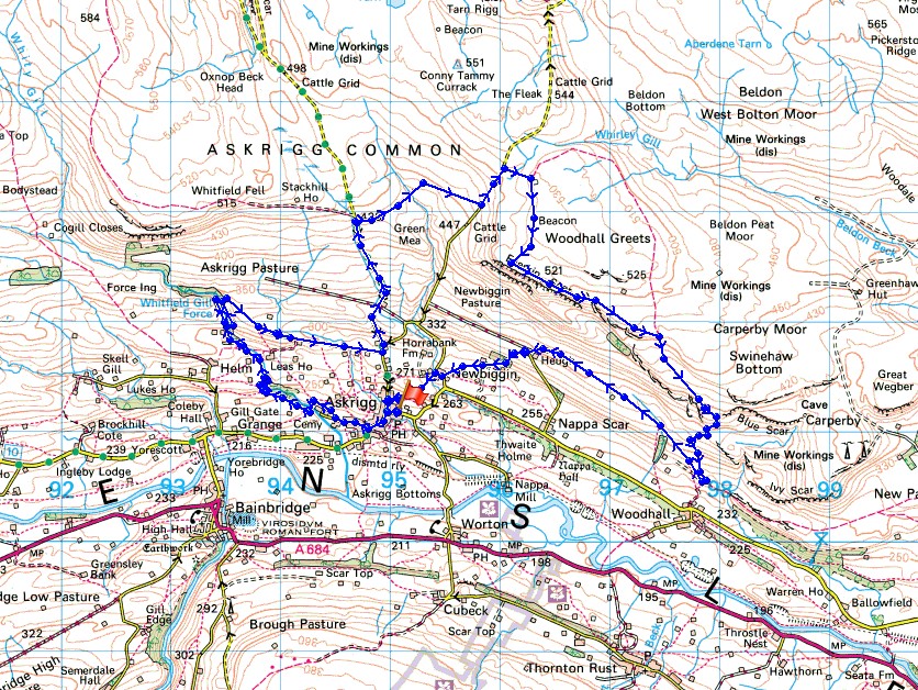
Route description: Askrigg-Mill Lane-Mill Gill Force-Whitfield Gill Force-Low Straights Lane-Cross Top-Green Mea Head-Long Band-Woodhall Greets-Ellerkin Scar-Beldhaw Hill-Heugh-Newbiggin-Askrigg
I first did this walk a couple of years ago and I knew afterwards that I'd doing it again the following autumn to have another go at photographing Mill Gill Force. Its woodland setting means that this time of year is a good one for taking photos with autumn colours in them. The COVID pandemic meant that I couldn't travel to Wensleydale this time last year, restrictions had been put in place that limited me to staying close to home, so if a suitable day presented itself this year I knew where I'd be going. Today wasn't too bad for doing this walk. It wasn't as sunny as two years ago, which was actually a good thing. Mill Gill faces south, so trying to take long exposure photos isn't helped by the low sun shining through the branches of the trees. Overall it was a pretty cloudy, mild and windy day with a little sunshine every now and then, but also some drizzle while I was on the moorland part of the walk.
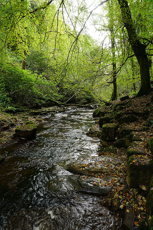
From the car park in Askrigg I walked down the main street to St. Oswald's church and turned right onto Mill Lane. I then walked along Mill Lane until I reached the third footpath on the right (it's past all the buildings), and followed it across fields and into the woodland around Mill Gill, where I crossed a footbridge, and made my way up the path on the western side of the gill. When I reached the sign for Mill Gill Force I left this path and went down to the waterfall. On returning to the path above I continued up the west side of Mill Gill and then Whitfield Gill to reach Whitfield Gill Force (it's signposted). I backtracked from Whitfield Gill Force to a footbridge to cross the gill and then climbed a path north through woodland to reach the western end of Low Straights Lane. I then walked down Low Straights Lane to the road at its end, turned left and walked up the road, taking the left at a fork, past the end of High Straights Lane, and up onto Askrigg Common. Just after crossing a cattle grid I took the footpath on the right across the moorland of Green Mea Head to the road of Long Band, which I walked up to reach the bridleway up to the ruins of Greets Shooting House. This was a good place to stop for lunch with some shelter from the wind and drizzle. I then followed the bridleway south to its end at a prominent cairn that's marked on the map as a beacon, and from there I made my way south across the moor to the top of Ellerkin Scar. I followed the top of Ellerkin Scar to the east until I reached the bridleway down to Woodhall, which I took and followed downhill before taking another bridleway west across the hillside beneath Ellerkin Scar to the end of the road of Harr Gill at Heugh. I was briefly on the track west from the end of the road, then took the footpath on the left down to the hamlet of Newbiggin. From Newbiggin I took the path down Stony Bank back to Askrigg.
Route map
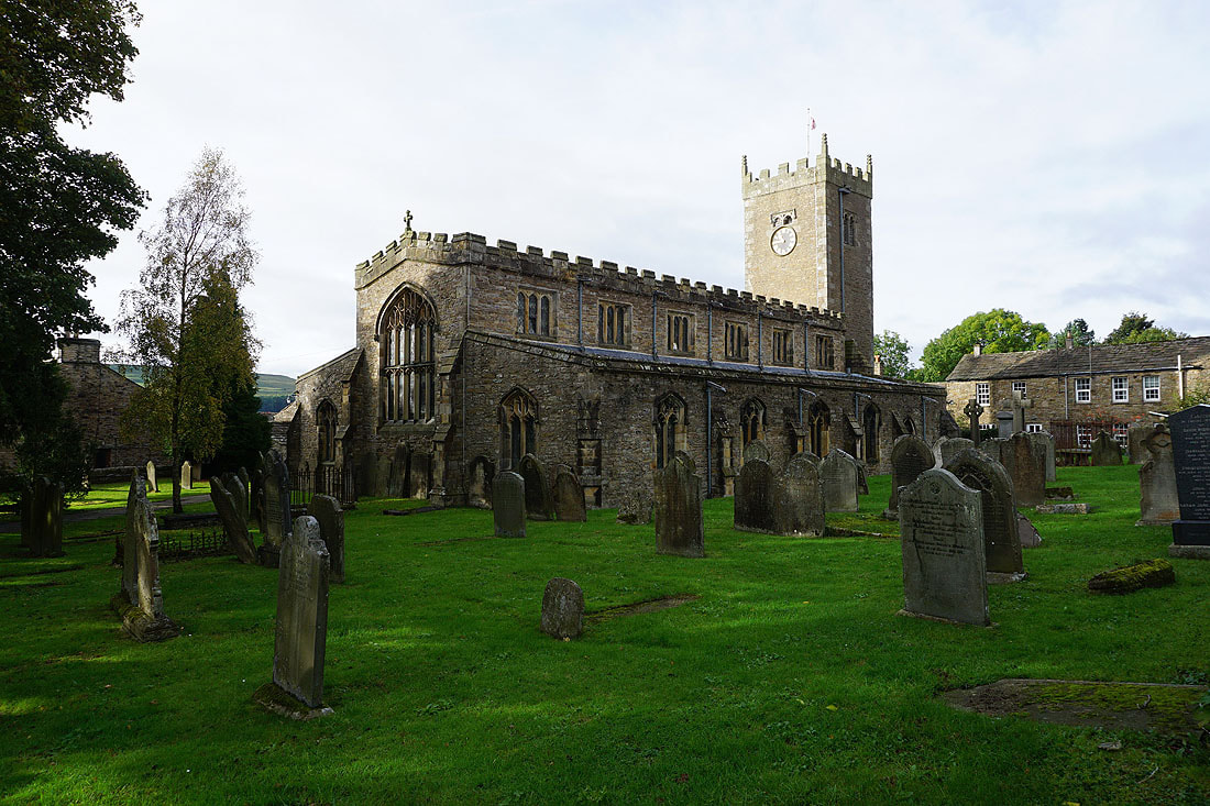
The church of St. Oswald in Askrigg
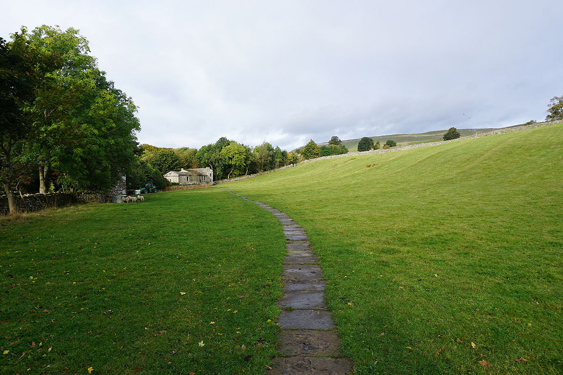
Leaving Mill Lane I take the footpath to Mill Gill
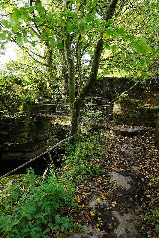
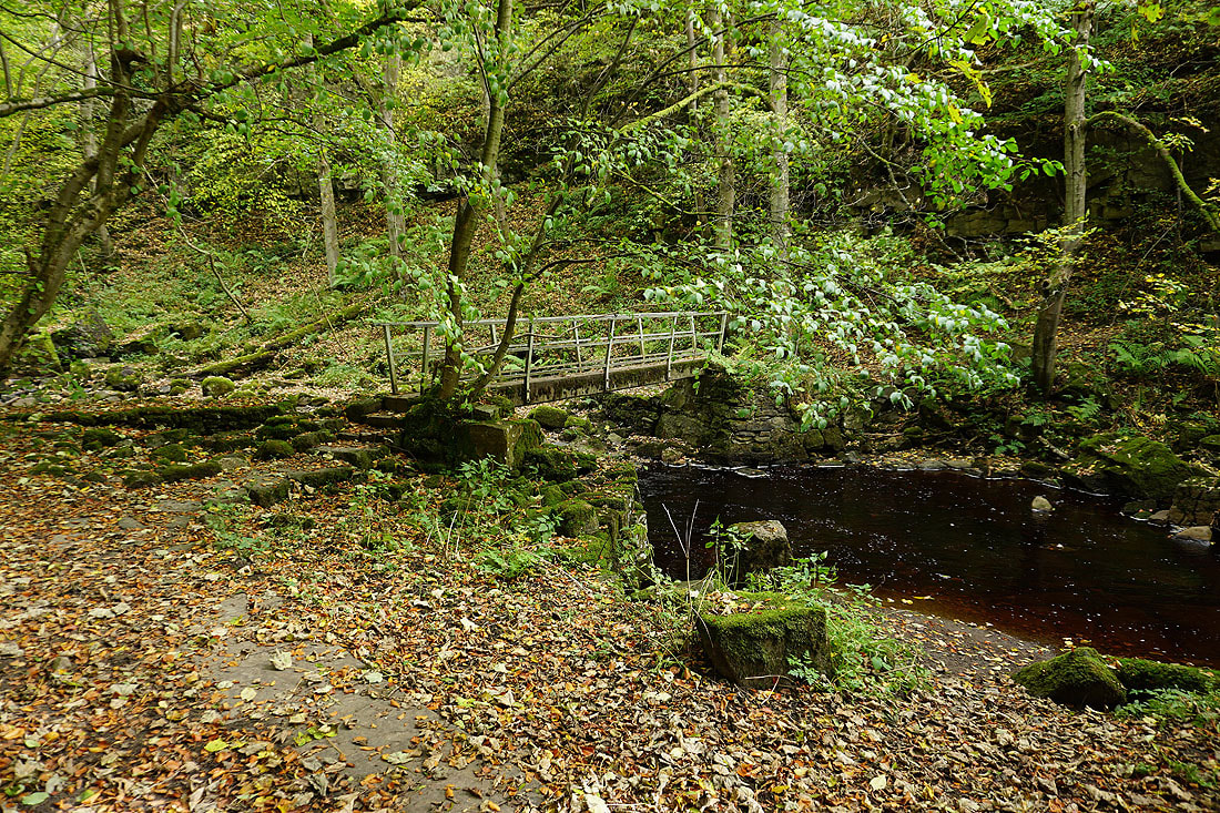
The path crosses the gill via this footbridge
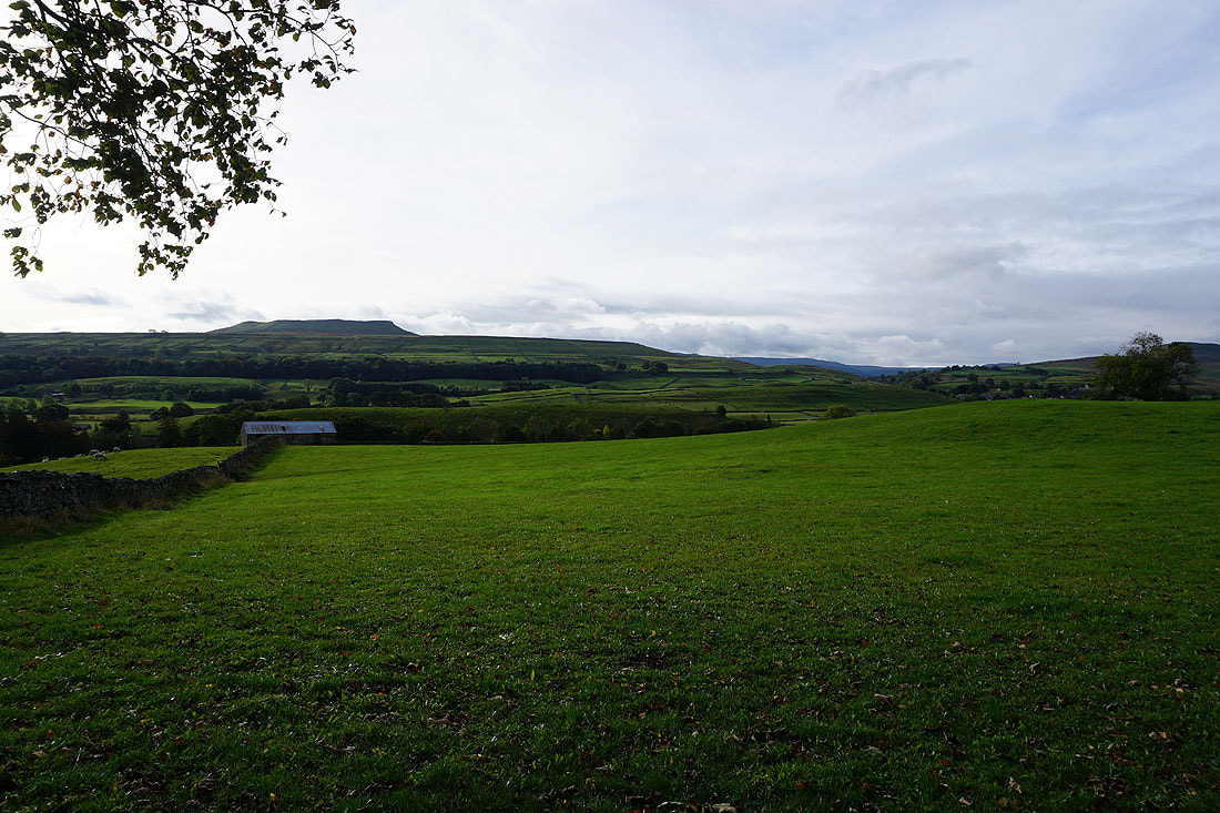
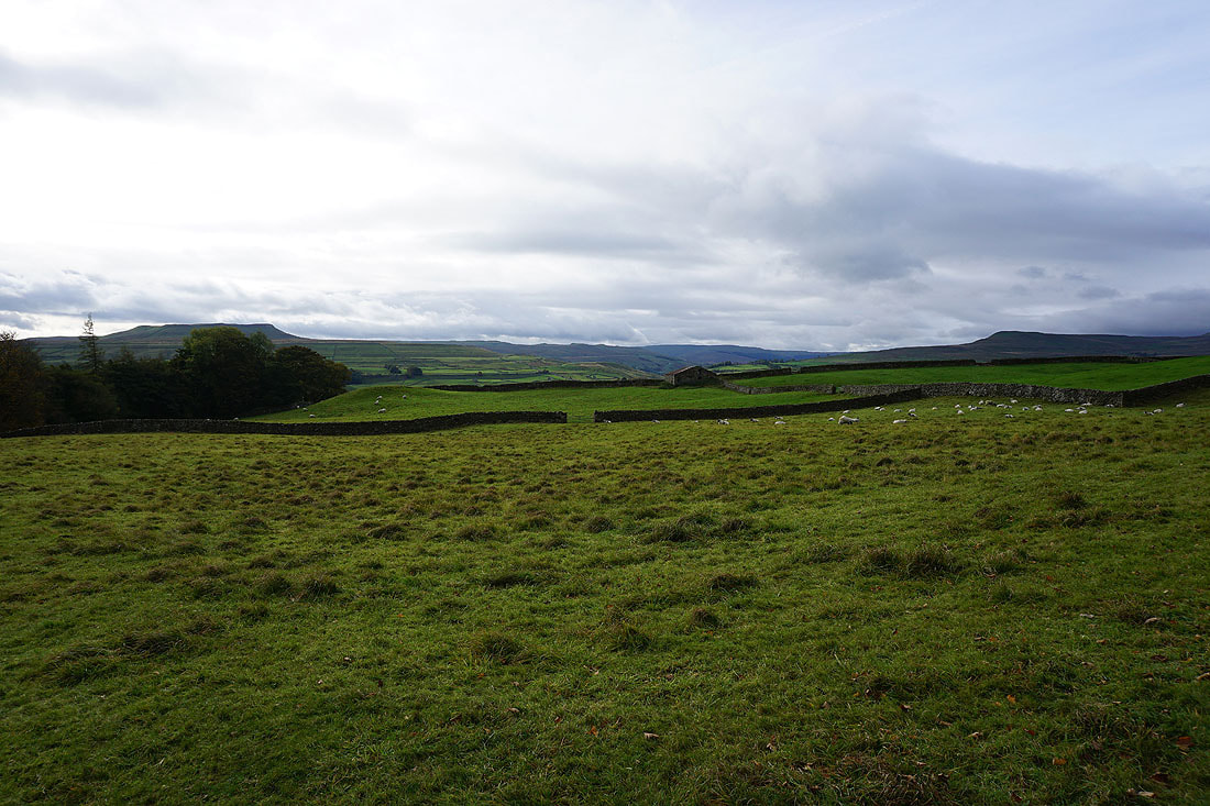
I then get a view across Wensleydale to Addlebrough
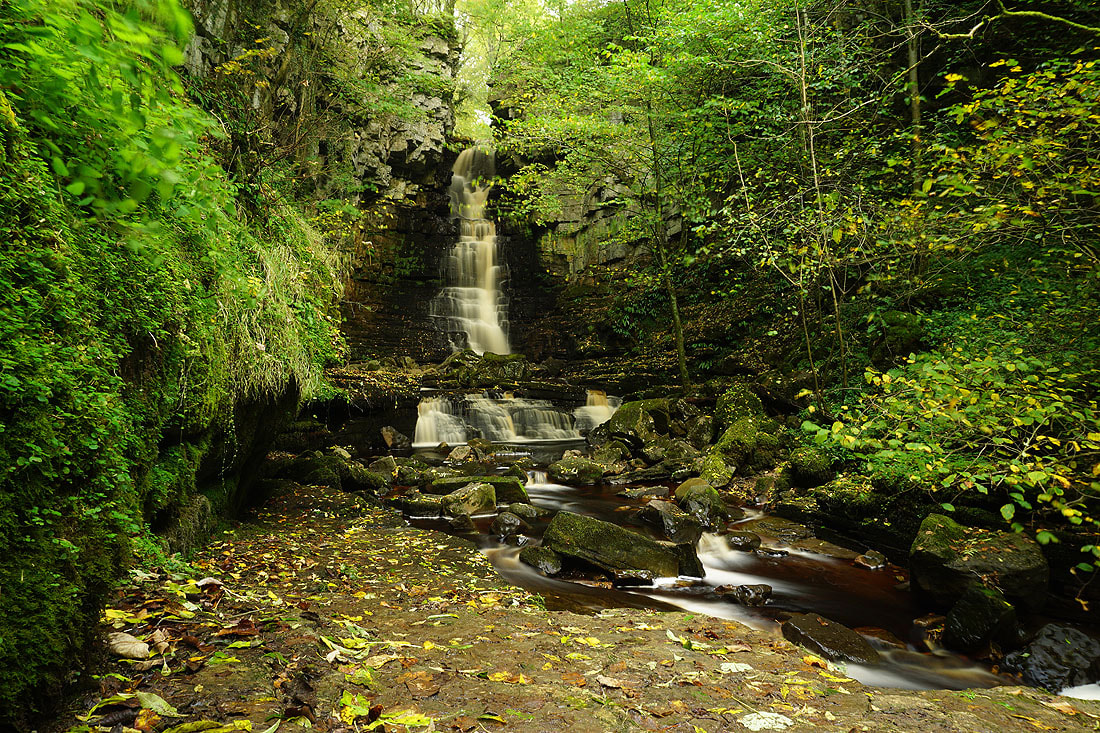
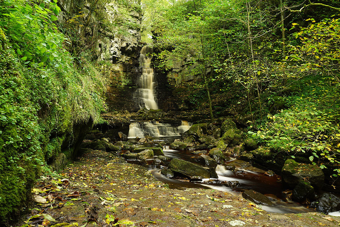
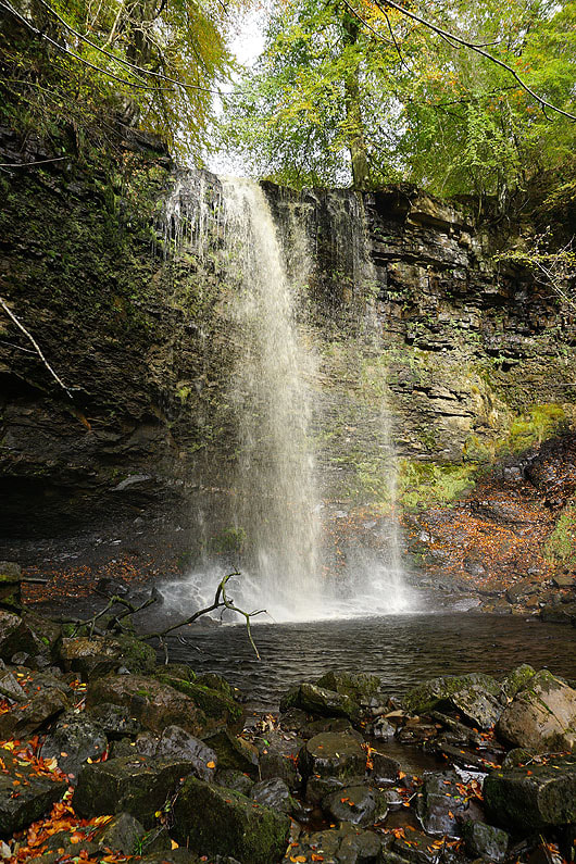
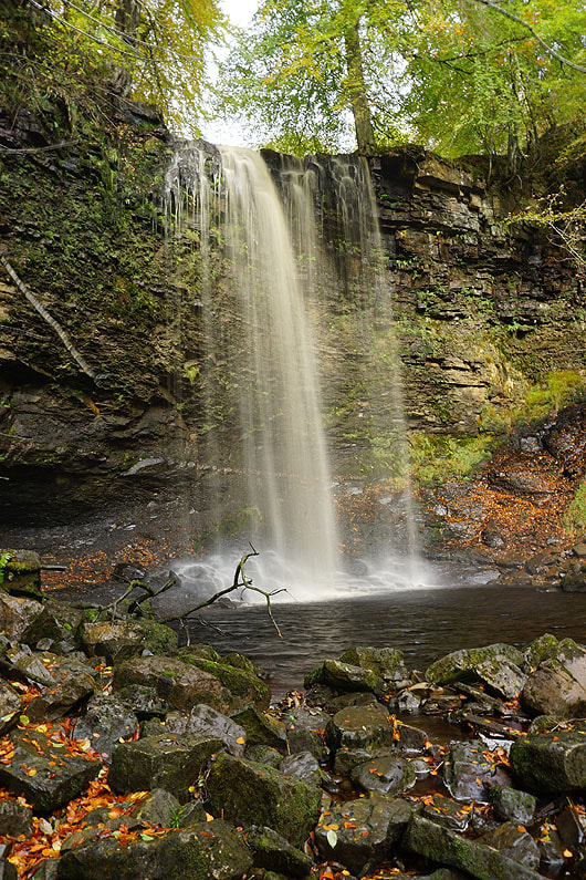
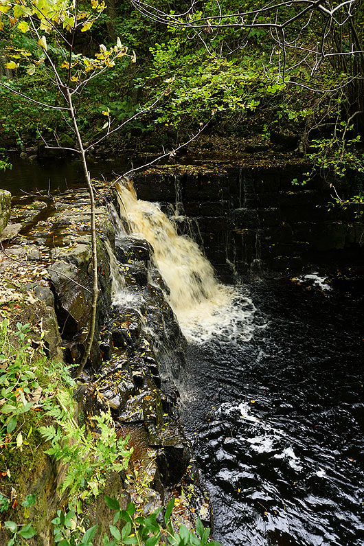
After setting my camera up on a tripod, I take some photos of Mill Gill Force with different exposure settings. These were the two that I liked best..
Whitfield Scar above from the path from Mill Gill up to Whitfield Gill
Looking across Wensleydale to Addlebrough and Crag which mark the entrance to Raydale
Whitfield Gill Force. A little tricky to reach, and with the spray from it I won't be bothering setting up my tripod for long exposures.
After crossing this footbridge over Whitfield Gill I'll follow a path up to the western end of the track of Low Straights Lane
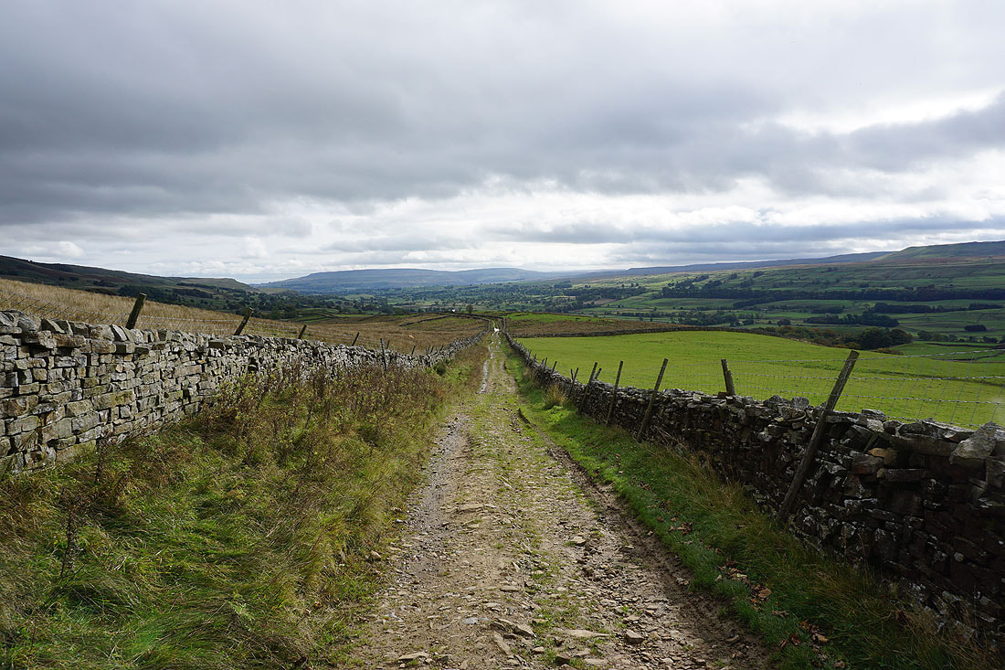
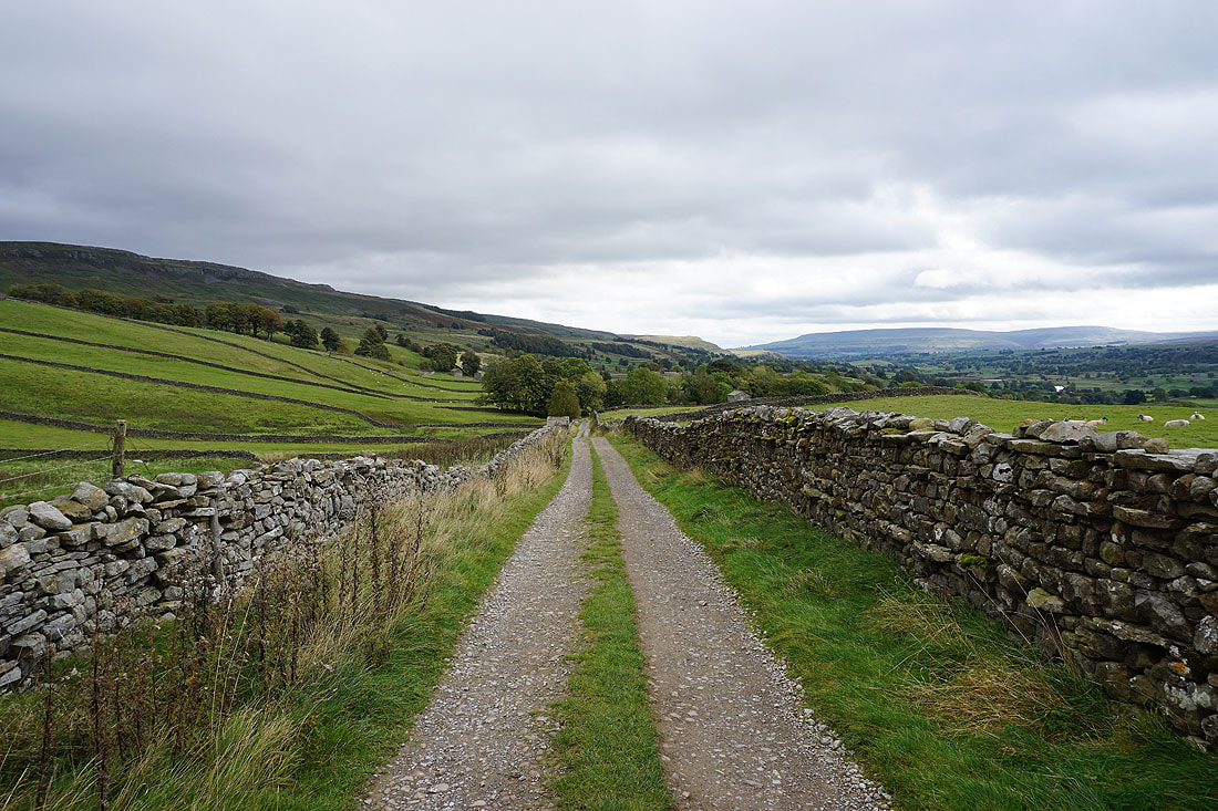
Wensleydale as I make my way down the track of Low Straights Lane
Looking across Wensleydale to Addlebrough and Bainbridge
and back up Low Straights Lane to Whitfield Scar. The woodland is around the top of Whitfield Gill.
Bainbridge, Crag and Common Allotments on the other side of Wensleydale. It looks like there's drizzle falling higher up the valley.
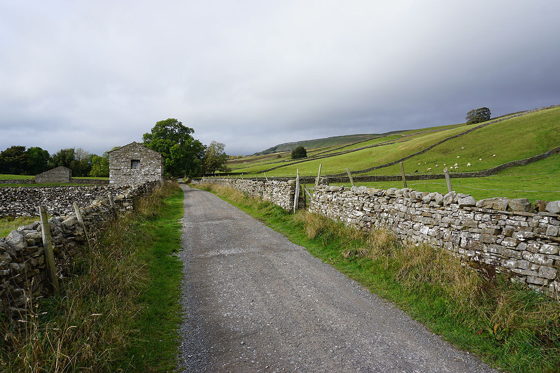
Heading down Low Straights Lane
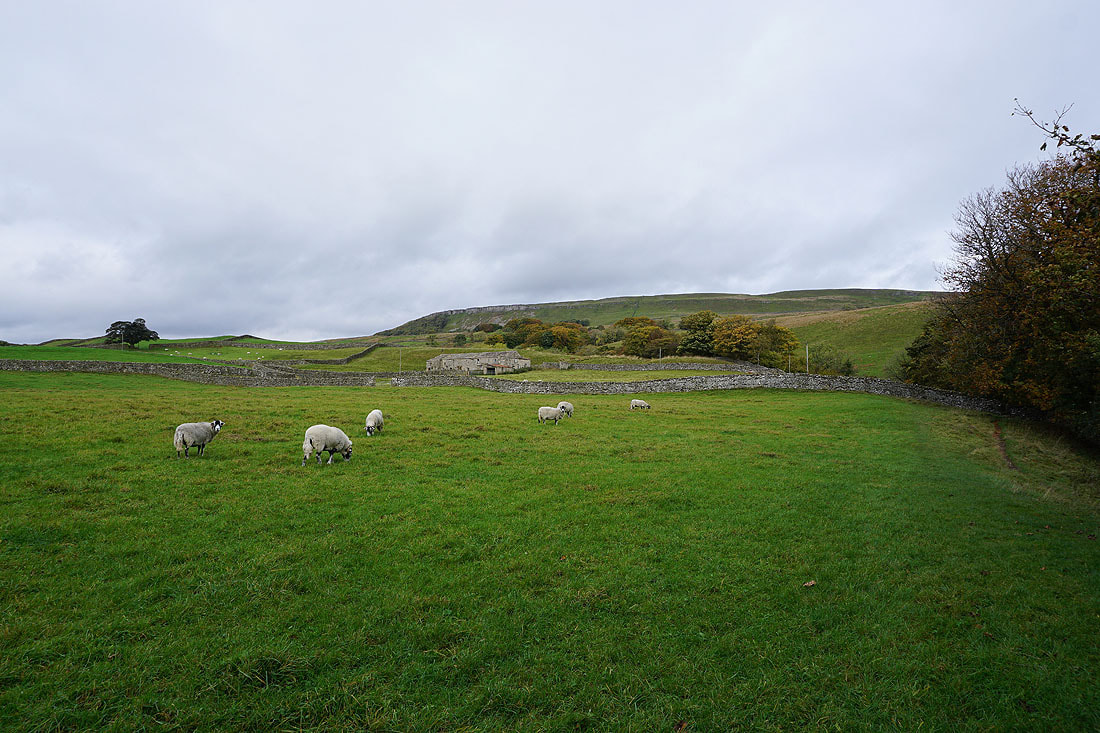
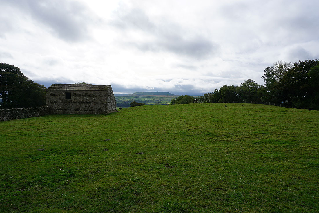
Barn and Addlebrough
A last look back up Low Straights Lane
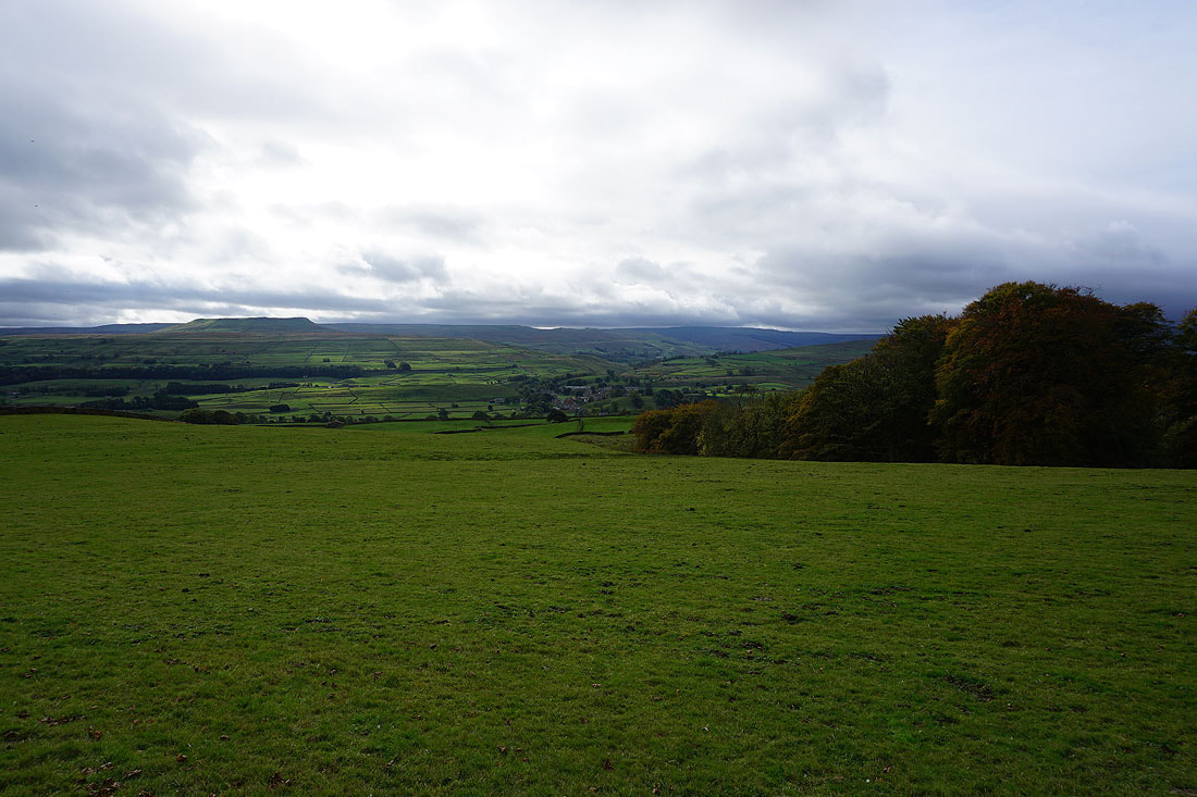
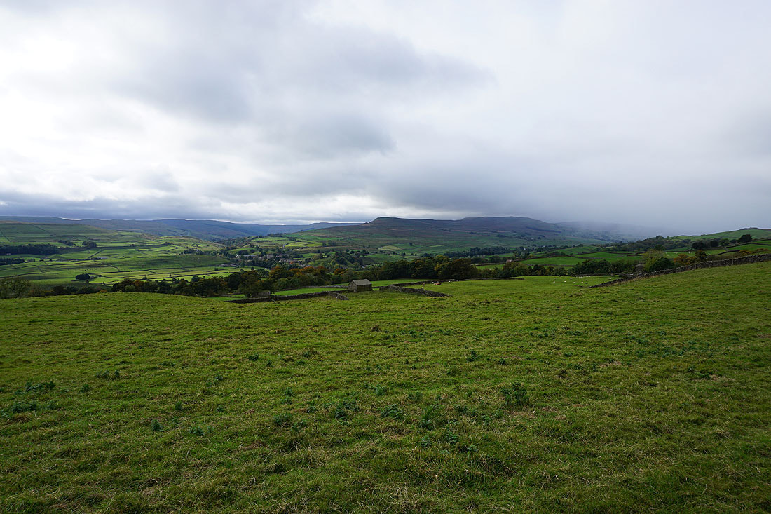
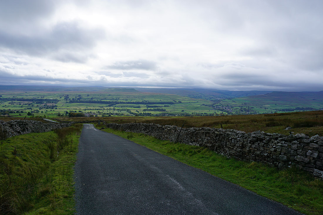
Looking back across Wensleydale to Addlebrough as I walk up the road across Askrigg Common
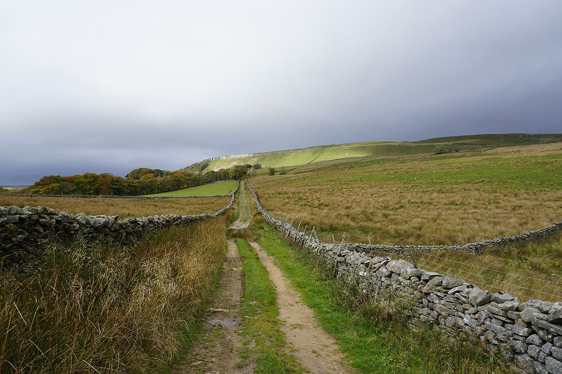
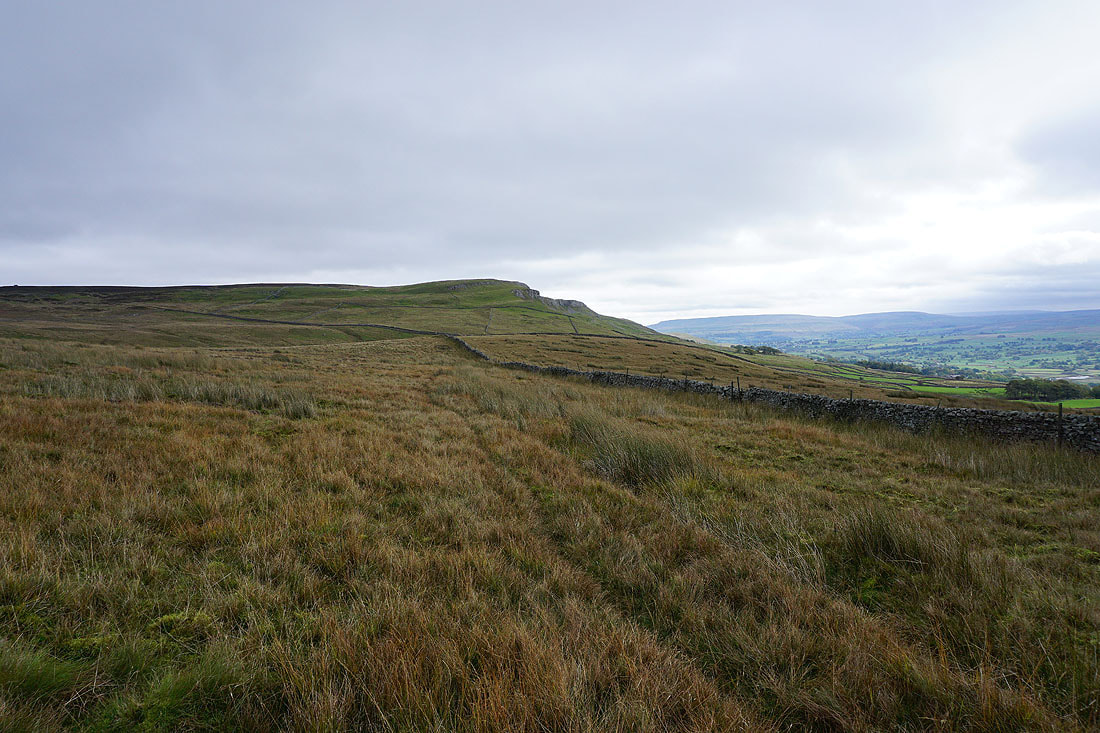
Ellerkin Scar as I take the footpath across Turner Beck to the road of Long Band across Fleak Moss
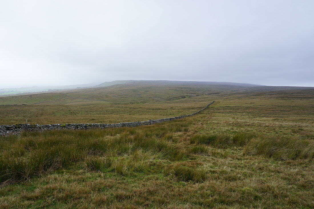
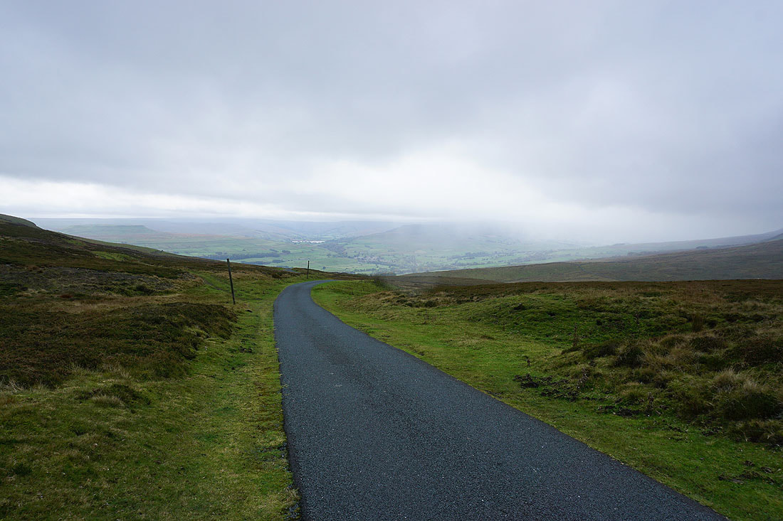
As I reach the road it's turning misty over Askrigg Common to the west as drizzle sweeps across the moor
The view south across Wensleydale to Addlebrough, Raydale and Semer Water from the road of Long Band
Oxnop Common and Askrigg Common
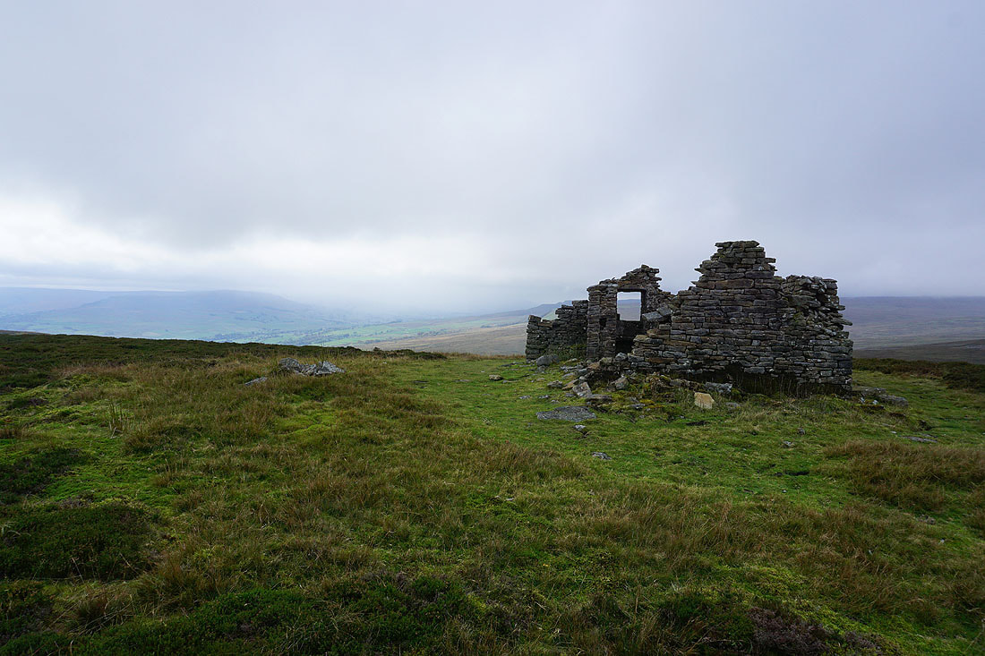
The ruins of Greets Shooting House. A good place to stop and find some shelter from the wind and drizzle to have my lunch.
The heathery expanse of Whitaside Moor and West Bolton Moor
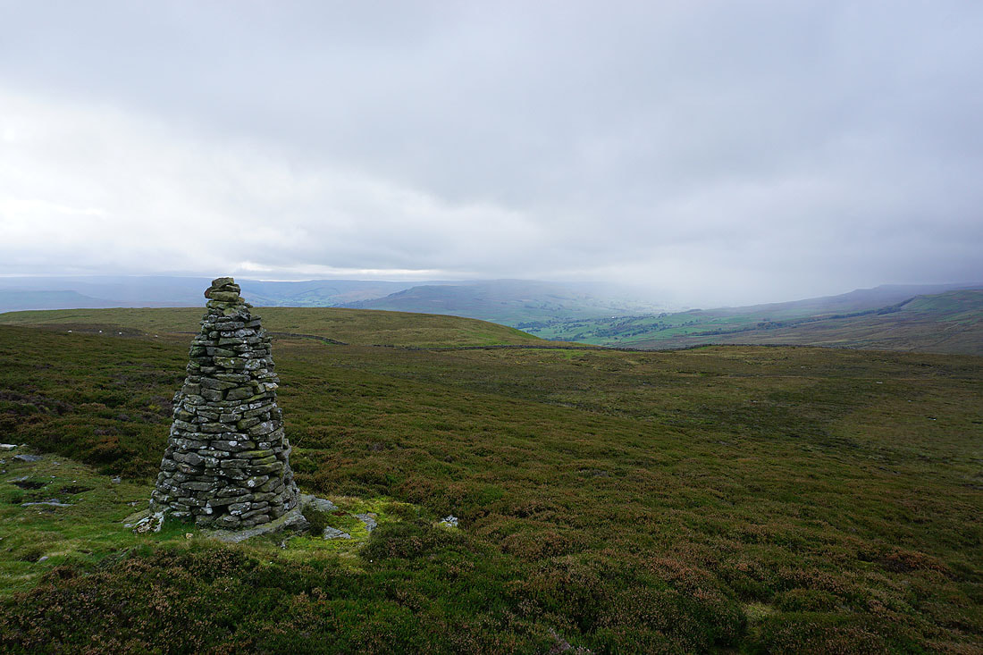
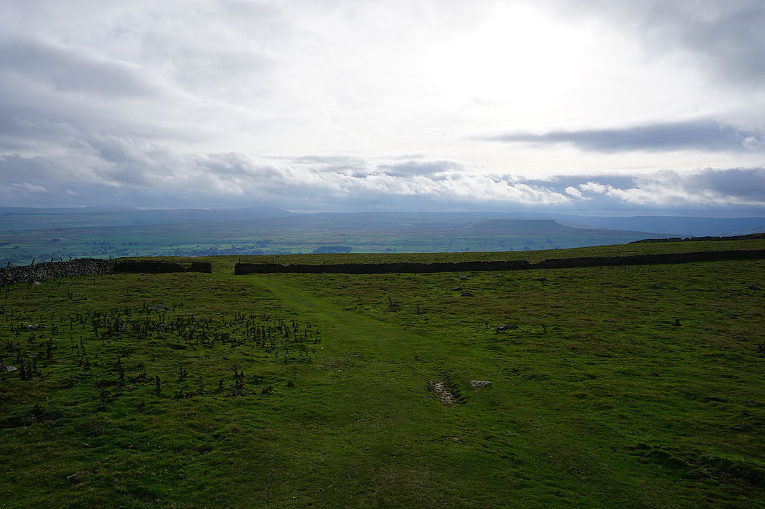
Looking up Wensleydale from the beacon on Woodhall Greets
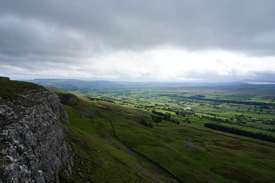
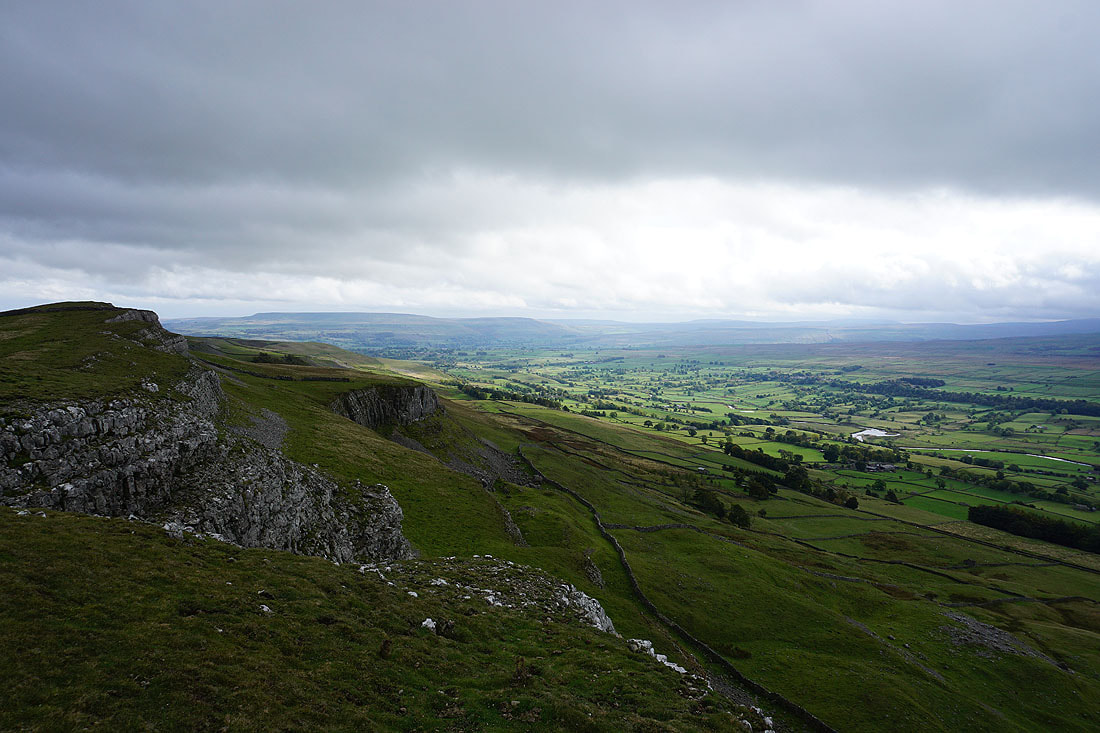
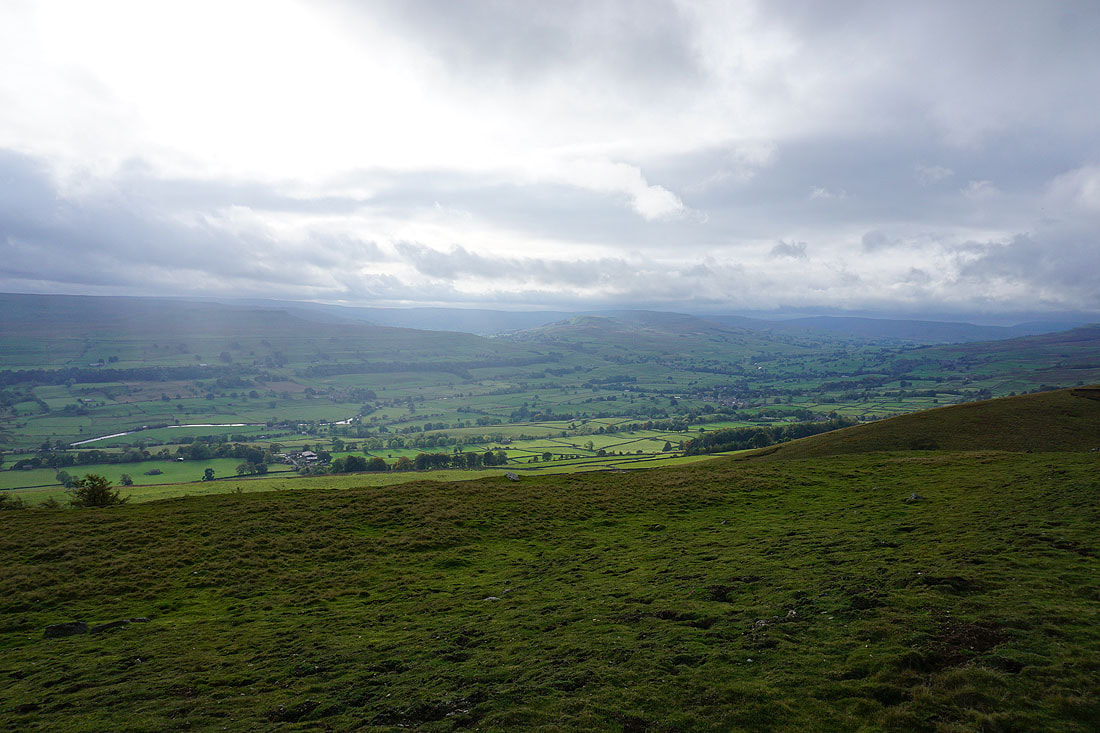
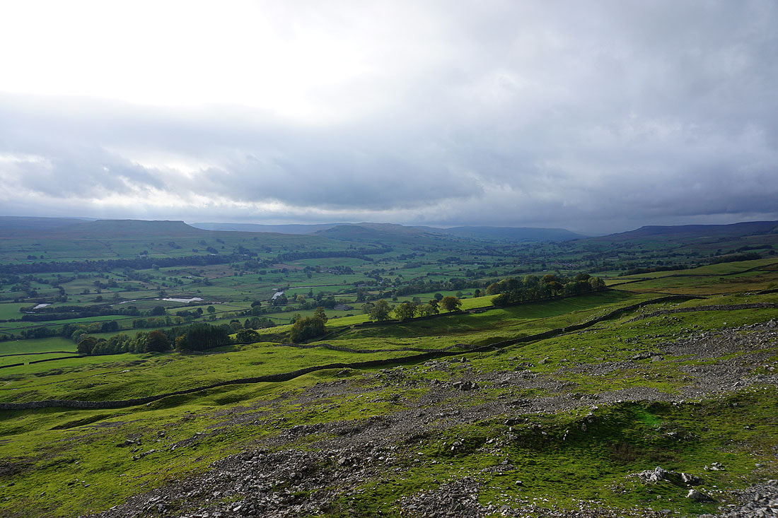
From the beacon I had a short walk south across the moor to reach the top of Ellerkin Scar, where I get a great view of Wensleydale. The sun is breaking through the cloud over this part of the dale..
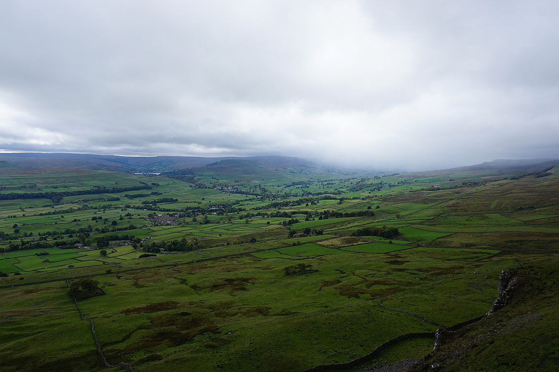
Looking up the dale to Askrigg, Semer Water, Bainbridge, and Wether Fell, with drizzle still falling around the head of the valley
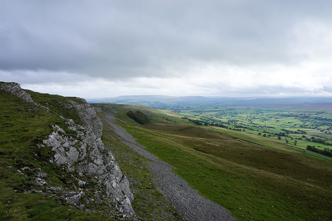
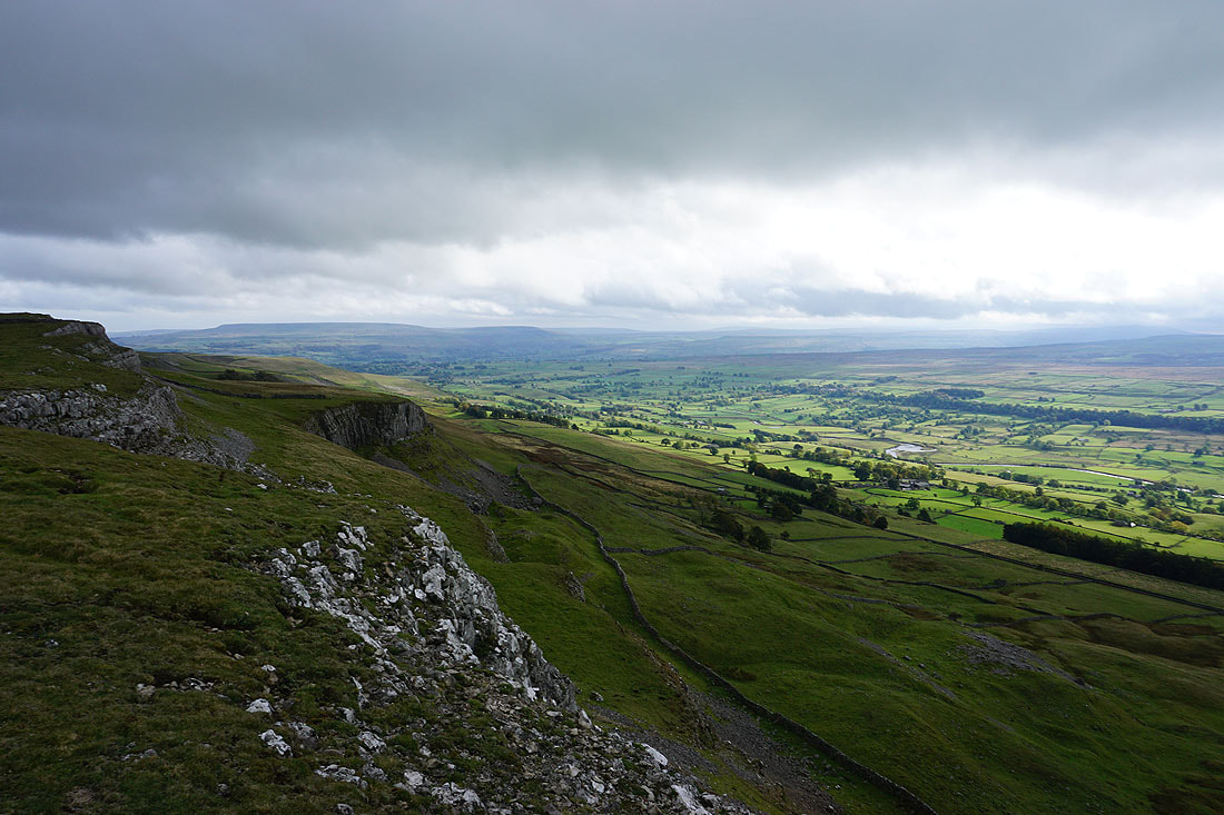
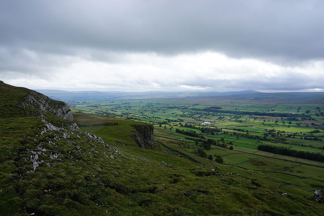
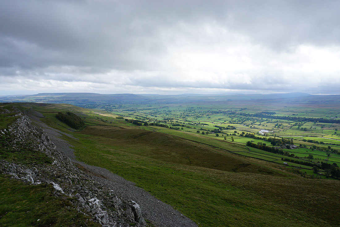
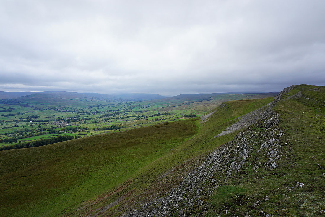
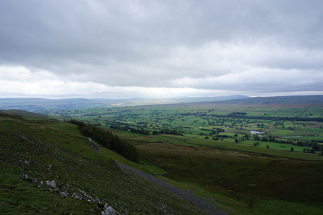
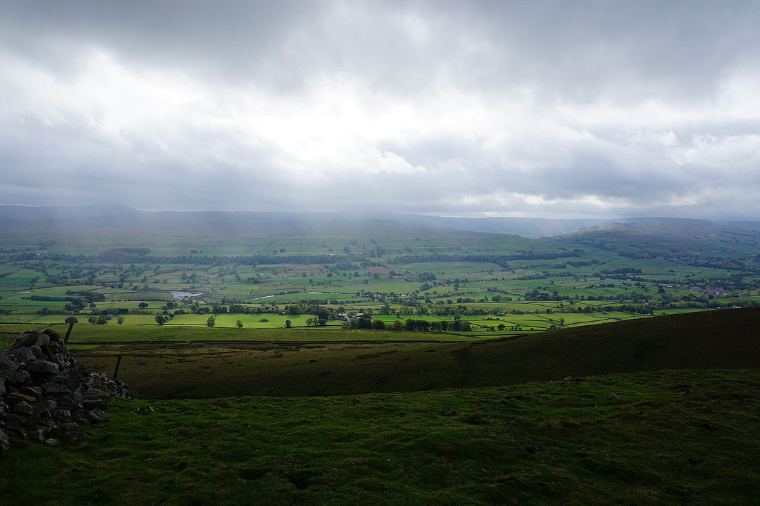
Views across Wensleydale as I make my way east along the top of Ellerkin Scar......
That mistiness is drizzle in the air despite the fact that the cloud is starting to break up
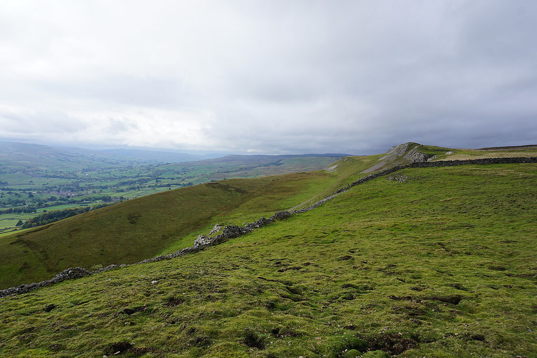
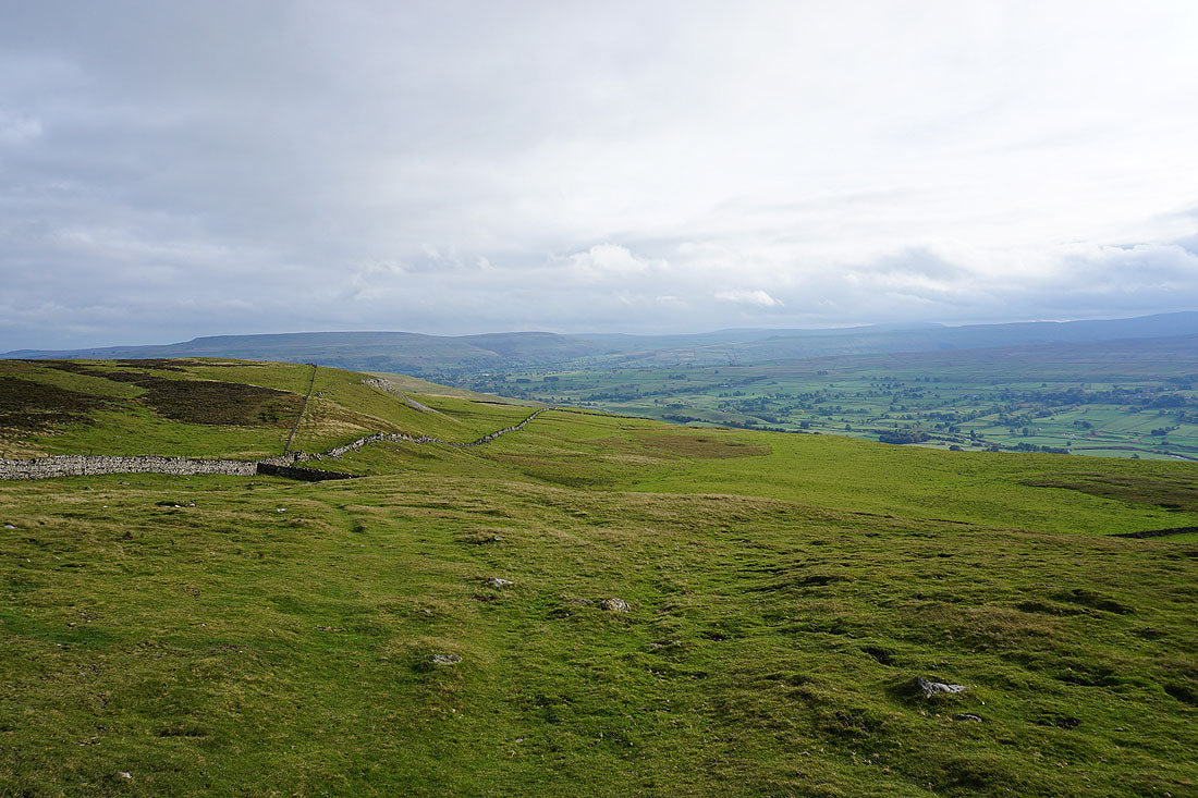
Looking back west along Ellerkin Scar
and across Wensleydale to Addlebrough and Wether Fell
and to a distant Buckden Pike, with Addlebrough on the right as I reach the bridleway down to Woodhall
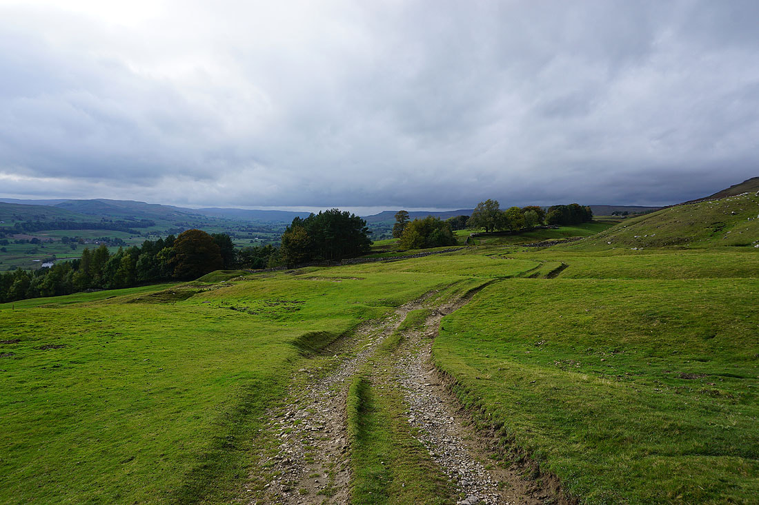
Penhill, Harland Hill and the moors around Bishopdale in the distance as I follow the bridleway downhill
Looking back to Ellerkin Scar
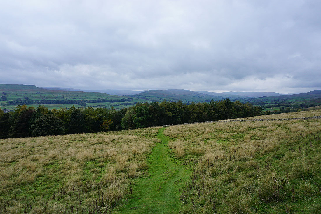
I have a great view across Wensleydale to my right
Just ahead at a gate in the wall I'll leave the bridleway to Woodhall for one that heads west beneath Ellerkin Scar
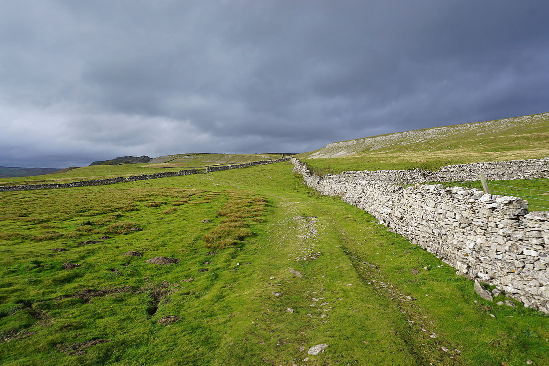
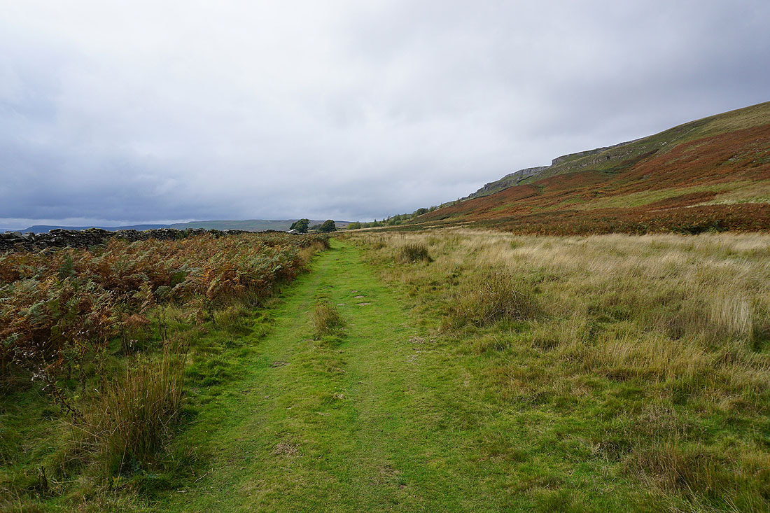
Heading west along the bridleway beneath Ellerkin Scar
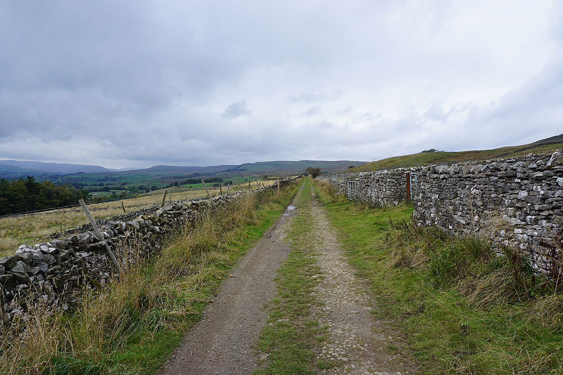
The bridleway joins a track with a view west to Whitfield Fell in front of me
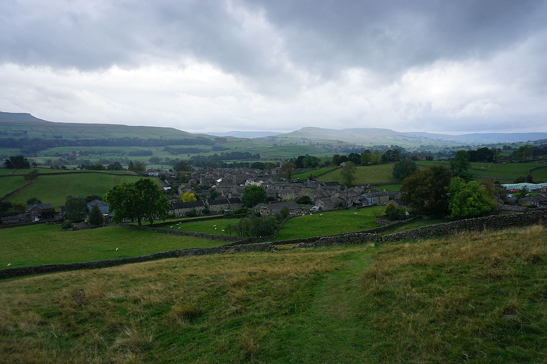
Following the path down to Newbiggin..
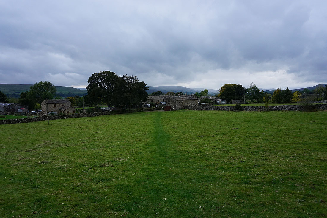
Gloomy skies as I arrive back in Askrigg
