23rd September 2018 - Settle to Long Preston and back
Walk Details
Distance walked: 11.3 miles
Total ascent: 1584 ft
OS map used: OL2 - Yorkshire Dales, Southern & Western areas
Time taken: 6 hrs
Route description: Settle-Lower Greenfoot-Ingfield Lane-Commercial Street-Green Head Lane-Mitchell Lane-Lambert Lane-High Hill Lane-Scaleber Force-High Hill Lane-Langber Lane-Newton Moor-Water Fall Rock-Little Newton-New House Lane-Long Preston-Green Gate Lane-Edge Lane-Hunter Bark-Pennine Bridleway-Mitchell Lane-Green Head Lane-Commercial Street-Ingfield Lane-Lower Greenfoot-Settle
The main aim of this walk was to visit Scaleber Force, a waterfall that I've been meaning to visit for some time now. I first started exploring this part of the Dales ten years ago and yet I've managed to avoid visiting it. I won't be waiting ten years for the next one. The route I followed also gave me a chance to explore some of the moorland on this southwestern corner of the national park and walk along some great old tracks and bridleways. I picked an ideal early autumn day for it with plenty of blue skies and sunshine, and great visibility for taking in the distant views. It was windy though, so I was glad that I opted for a low level walk.
From the car park near the rugby club in Settle I walked out of the village along Lower Greenfoot, Ingfield Lane, Commercial Street, Green Head Lane and then up Mitchell Lane. At the top of Mitchell Lane I took the bridleway of Lambert Lane on the left and followed it across to High Hill Lane. After a short walk south along High Hill Lane I reached Scaleber Wood and the footpath down to Scaleber Force. Once I'd taken my photos of Scaleber Force I made my way back up to High Hill Lane and resumed my walk south along it until I reached the byway of Langber Lane which is signposted for Otterburn. I followed this south past Bookilber Barn until I reached the access land of Newton Moor, where I crossed a stile and made my way up to the trig point on Newton Moor Top. After taking in the view I left the moor by walking towards Long Preston to pick up the public footpath past Water Fall Rock and down to Little Newton, where I followed a track to New House Lane and that to Long Preston. I left Long Preston by Green Gate Lane which I followed uphill where it becomes Edge Lane and to its end where it becomes a byway and part of the Pennine Bridleway. This then took me north across the moorland of Hunter Bark and down to the end of Mitchell Lane. This left me with retracing my steps back to the car park in Settle.
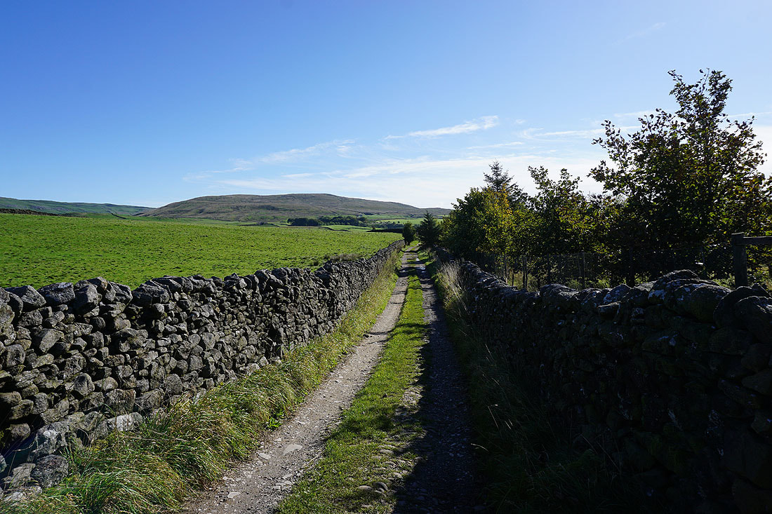
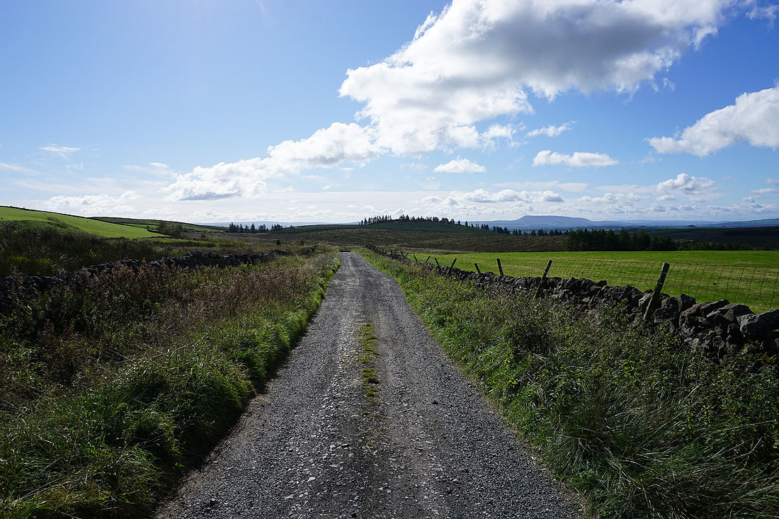
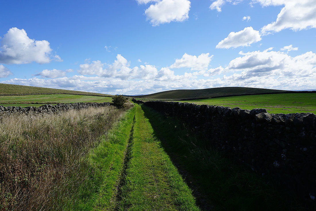
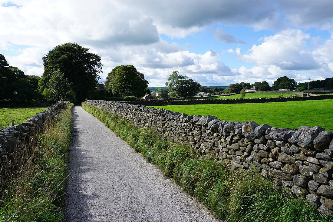
Leaving Settle behind on Mitchell Lane..
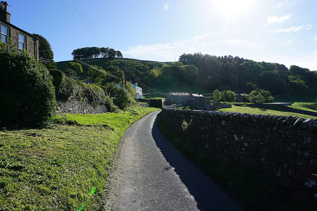
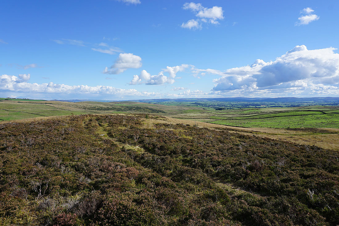
Higher up Mitchell Lane and there's a great view looking back with Ingleborough in the distance
Onto the track of Lambert Lane which will take me to High Hill Lane. The limestone hills to the east of Settle appear as I get closer...
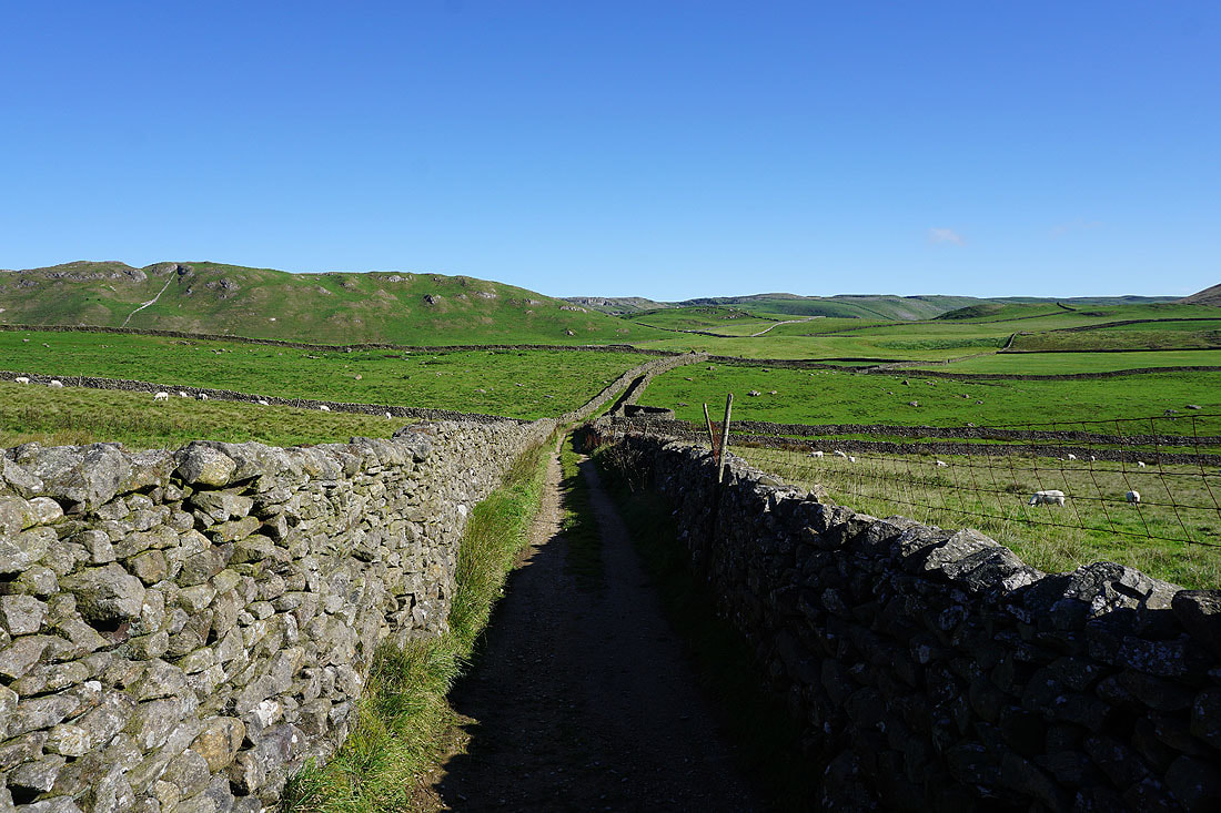
Looking towards High Hill on the right from High Hill Lane
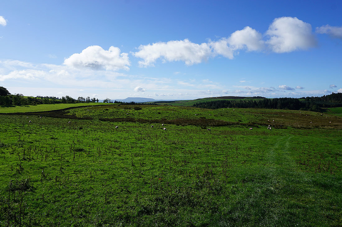
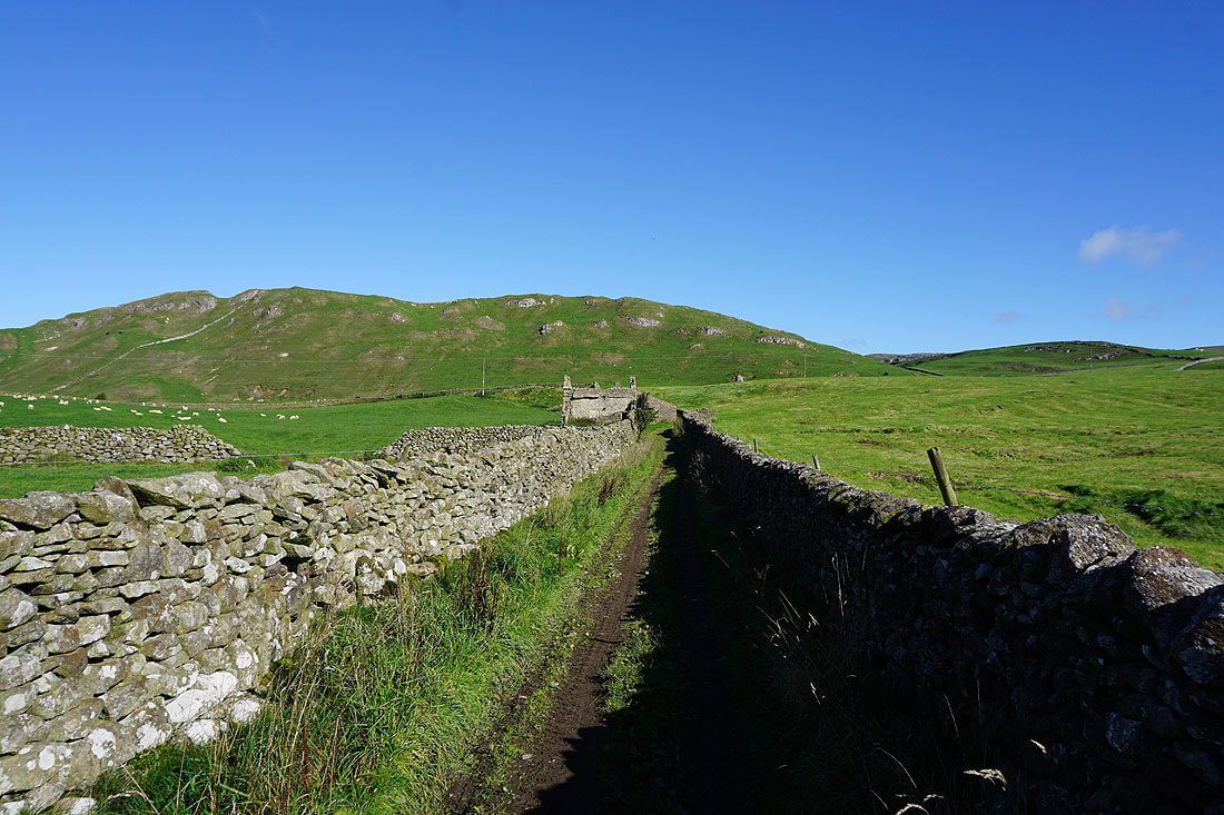
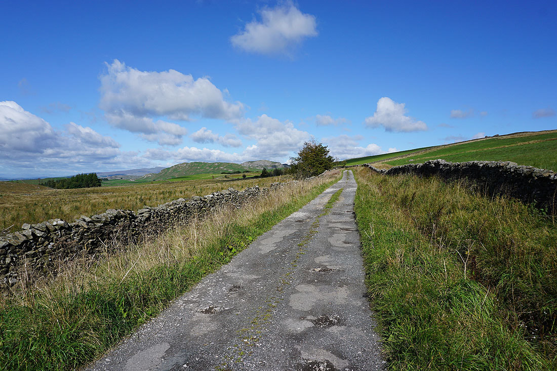
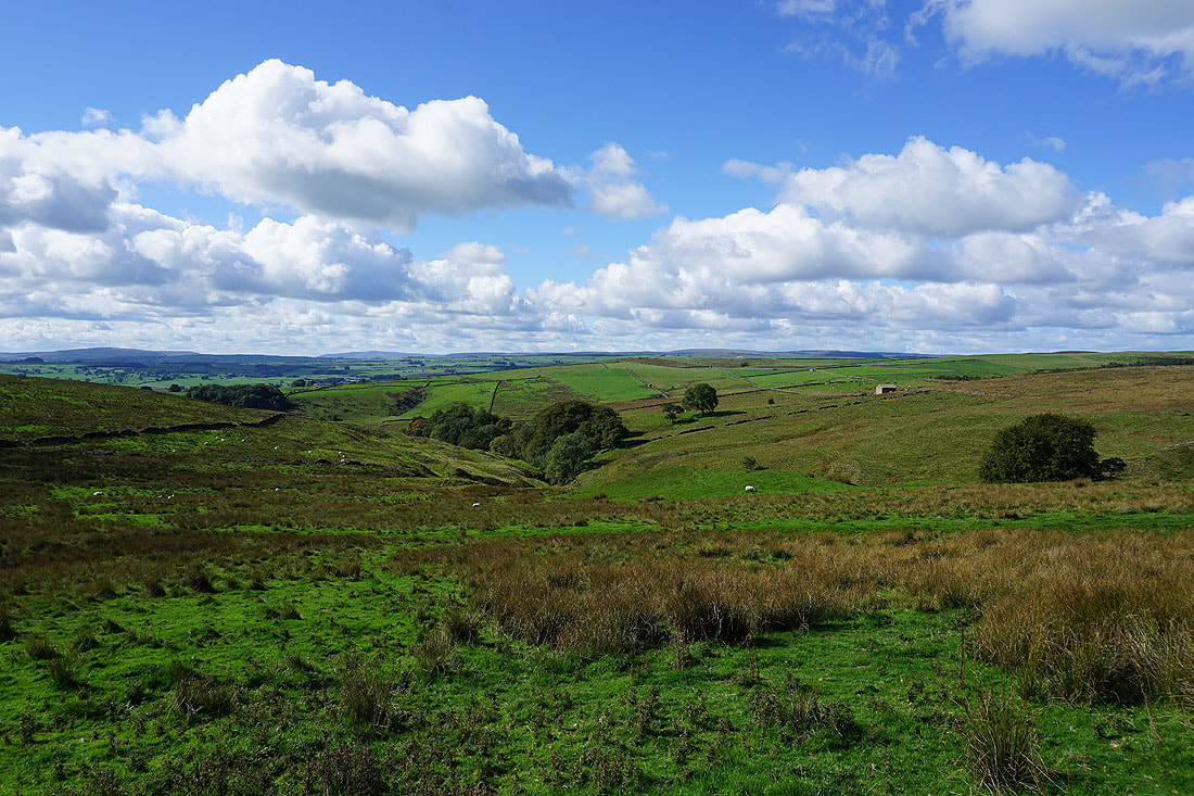
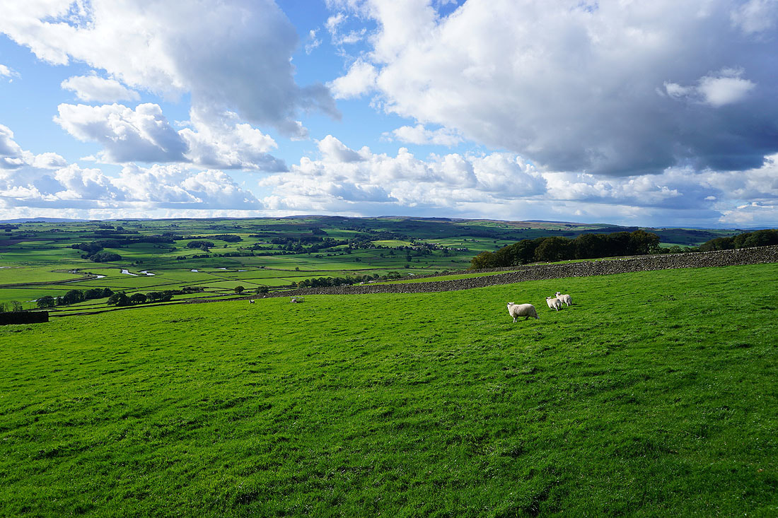
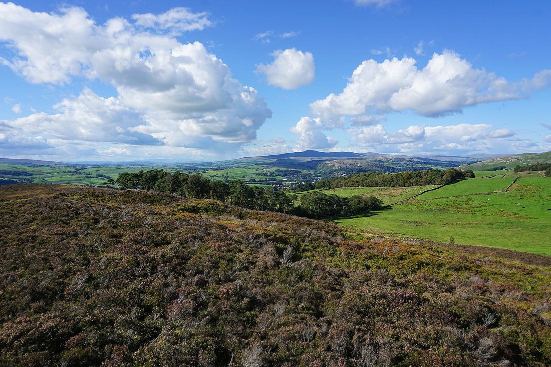
Pendle Hill in the distance beyond the nearby moors. The one on the right is Hunter Bark which I'll visit on the way back to Settle.
|
|
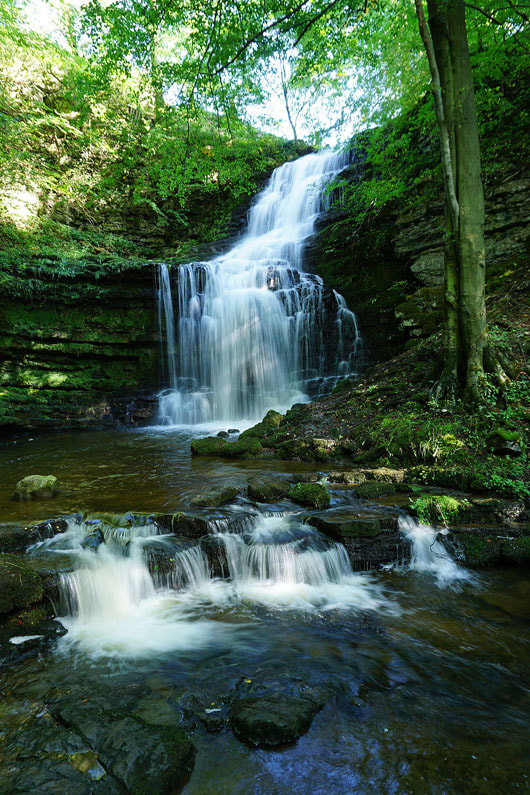
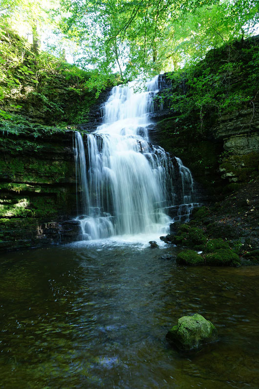
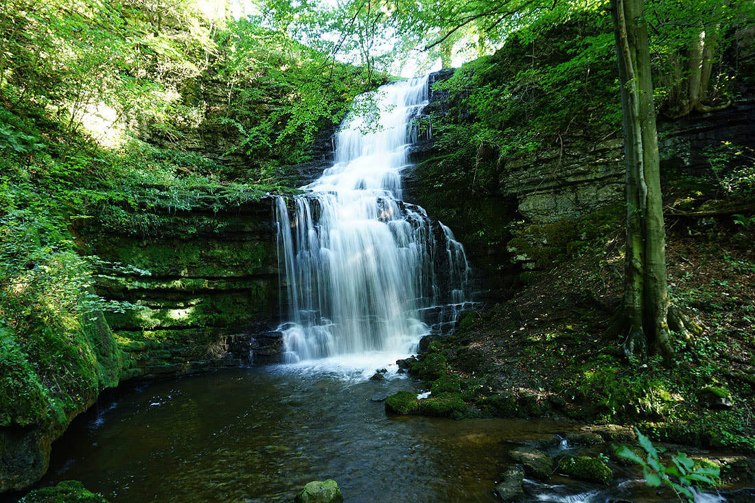
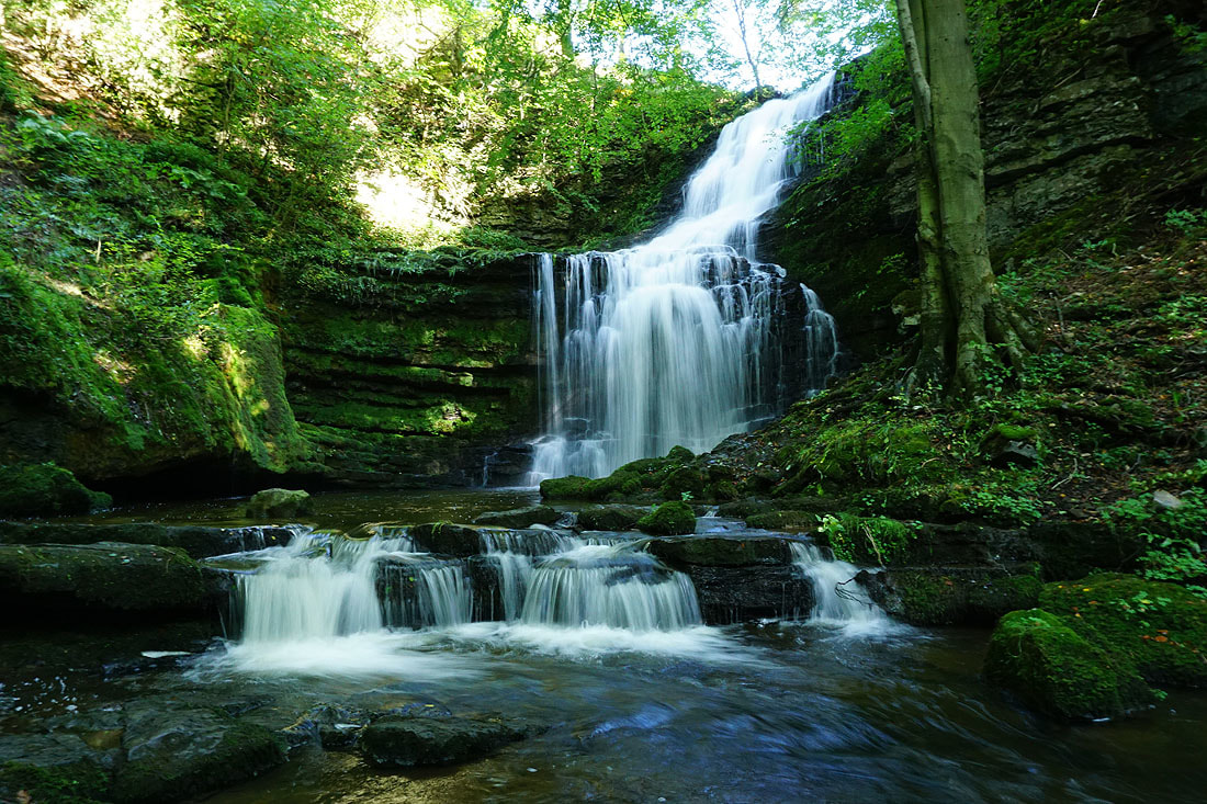
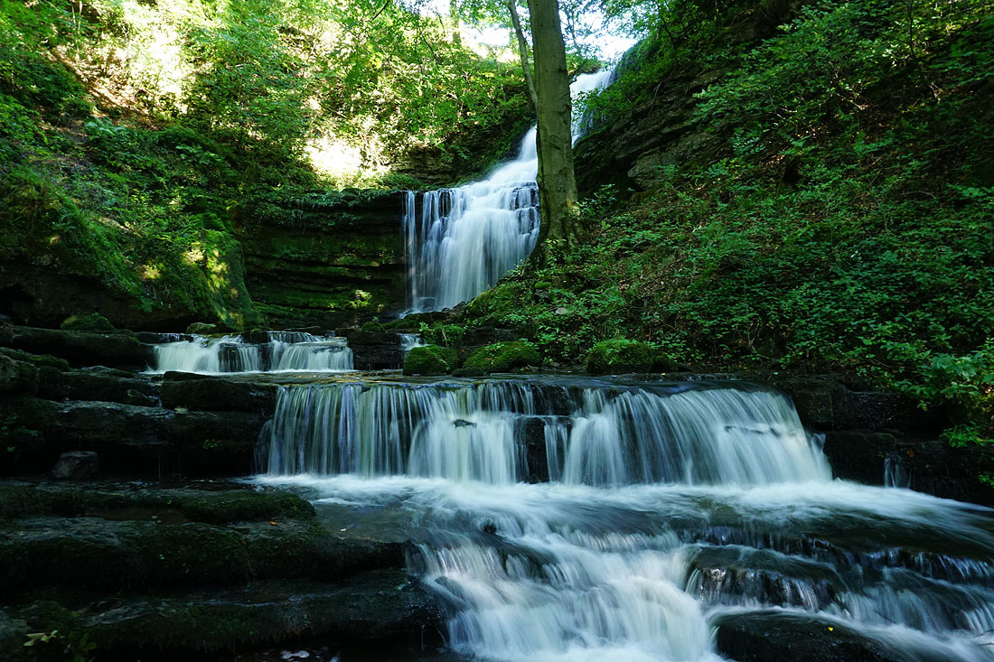
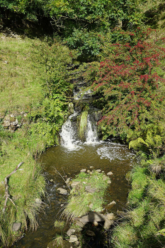
High Hill Lane was left at Scaleber Bridge to visit Scaleber Force. I spent a good 15 minutes finding different angles for taking photos from.
|
|
Scaleber Force from the path back up to High Hill Lane and Scaleber Beck from Scaleber Bridge
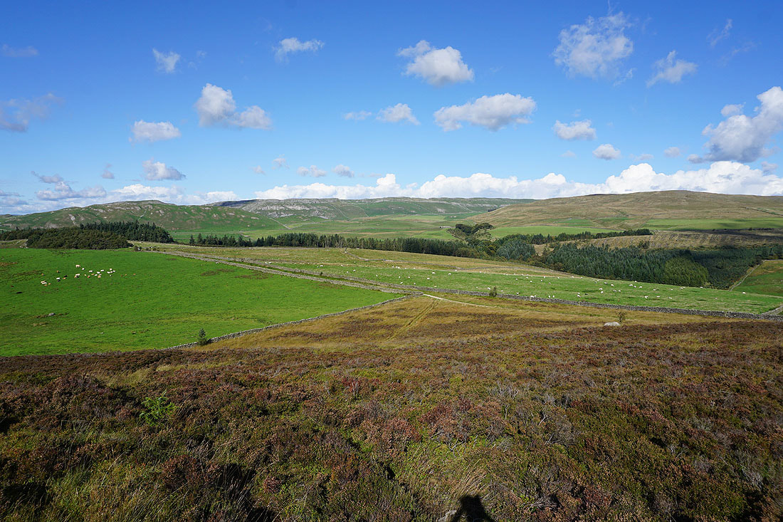
Onto the byway of Langber Lane which I'll follow all the way to Newton Moor....
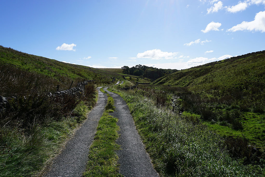
The valley of Bookil Gill Beck below with the fells of the Forest of Bowland way in the distance
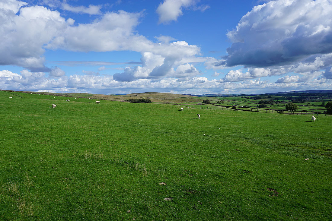
Newton Moor comes into view on the right
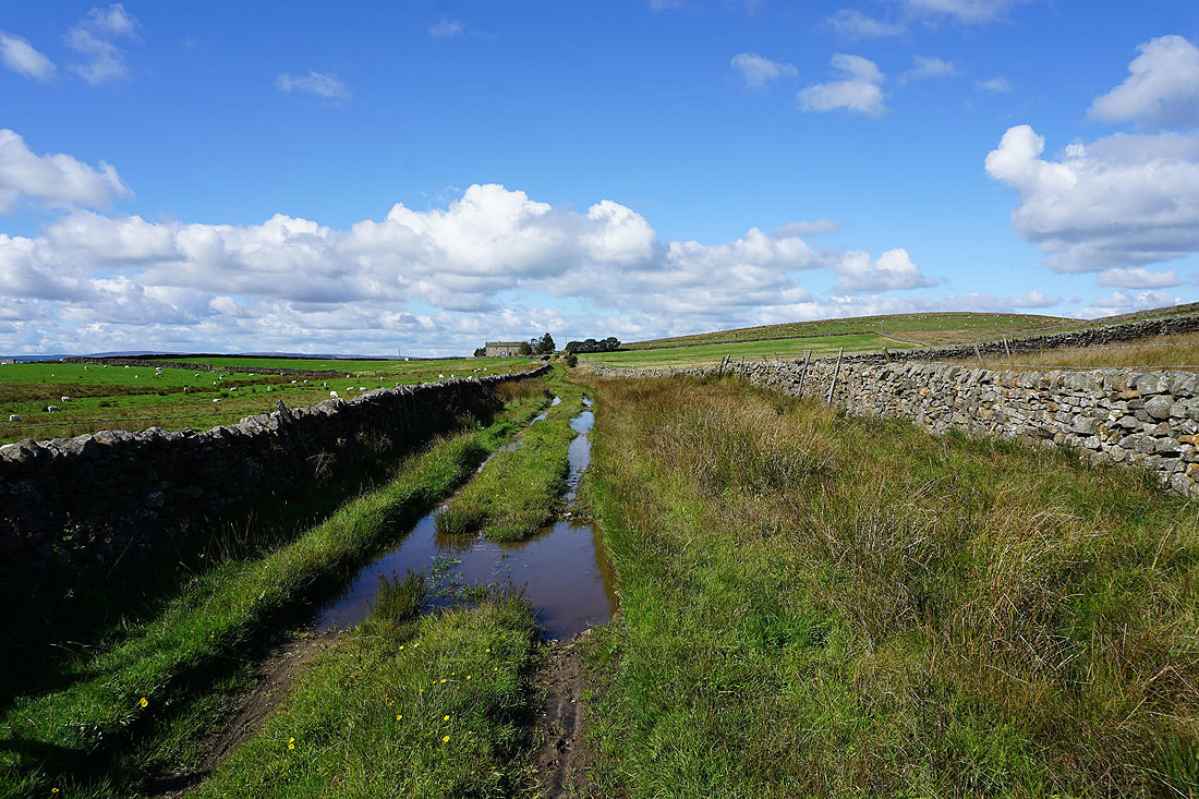
Looking back along Langber Lane as I pass Bookilber Barn
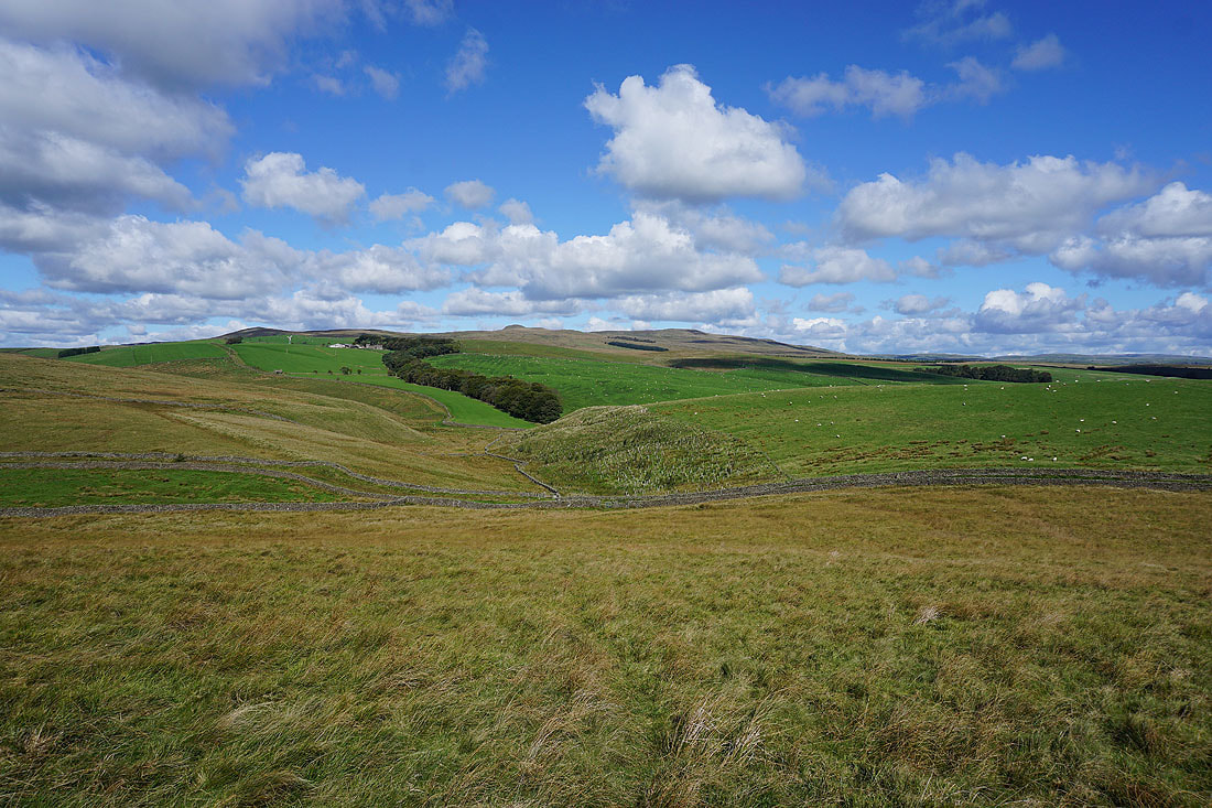
Crake Moor with Rye Loaf Hill in the distance as I head up onto Newton Moor
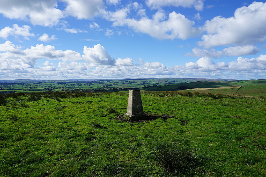
At the trig point on Newton Moor Top with the Forest of Bowland in the distance
Looking south towards Weets Hill and Pendle Hill
Cracoe Fell to the east
The top of Ingleborough can be seen to the northwest above the nearby moors which I'll be walking through back to Settle
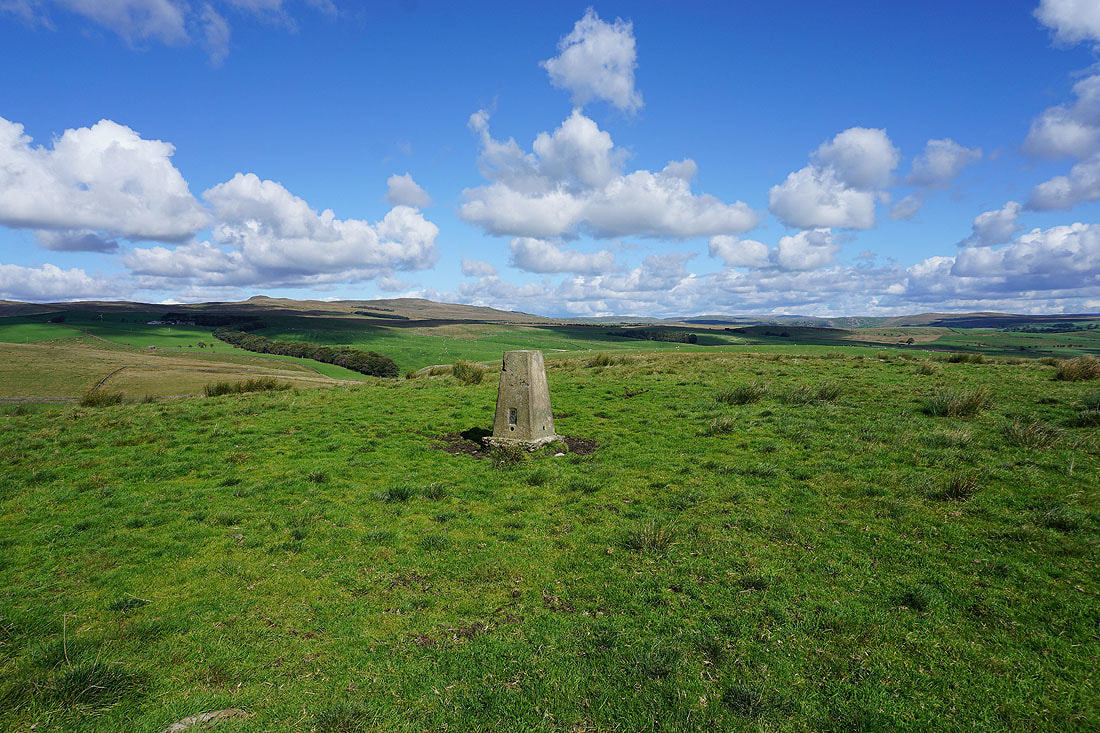
Rye Loaf Hill, Kirkby Fell and the moors to the west of Malham to the northeast
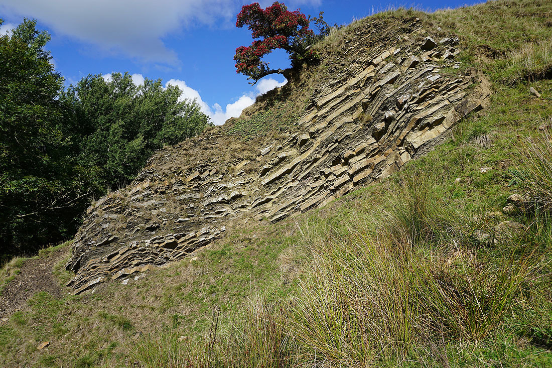
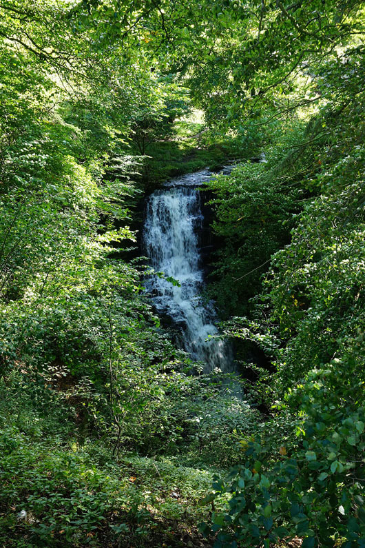
Water Fall Rock. Next to the public footpath that leaves Newton Moor. Exposed bedrock of sandstone and shale.
The waterfall on Newton Gill that it's next to

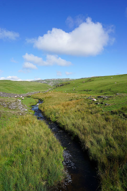
Bridge over Newton Gill as I reach Little Newton
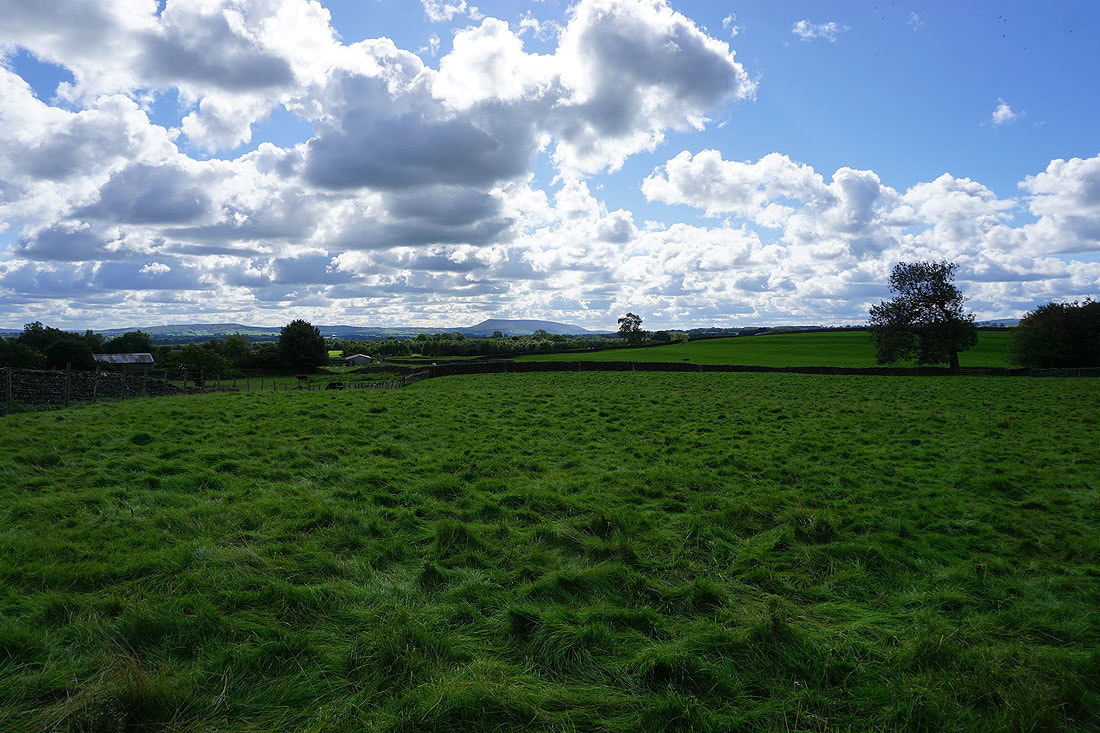
Pendle Hill in the distance from New House Lane as I head for Long Preston
Making my way into Long Preston
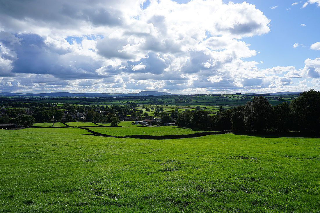
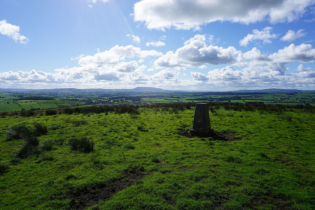
Pendle Hill in the distance from Green Gate Lane above Long Preston
Newton Moor from Green Gate Lane
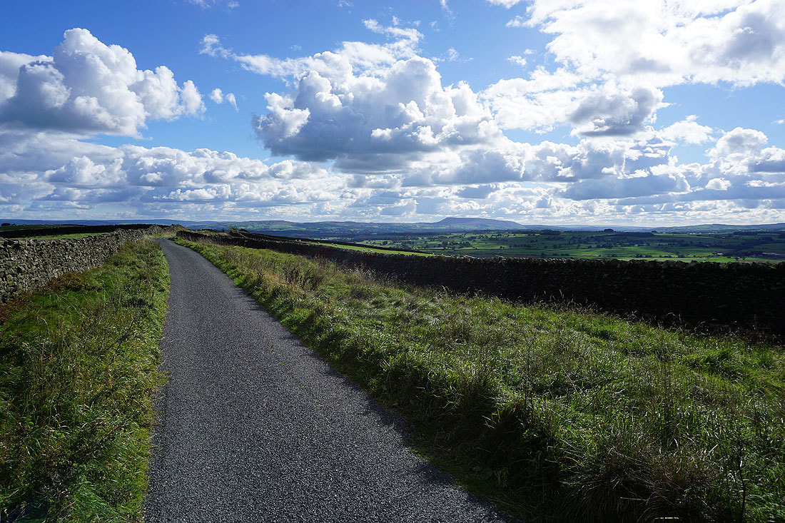
As the road heads north it becomes Edge Lane and there are great views looking back to Weets Hill and Pendle Hill, and across the River Ribble to the Forest of Bowland...
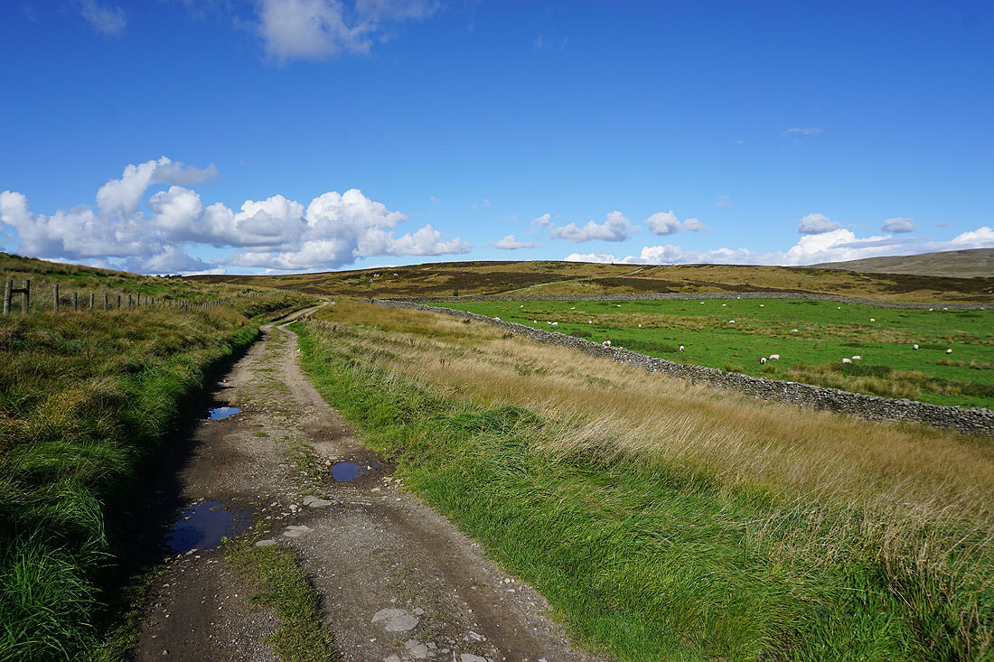
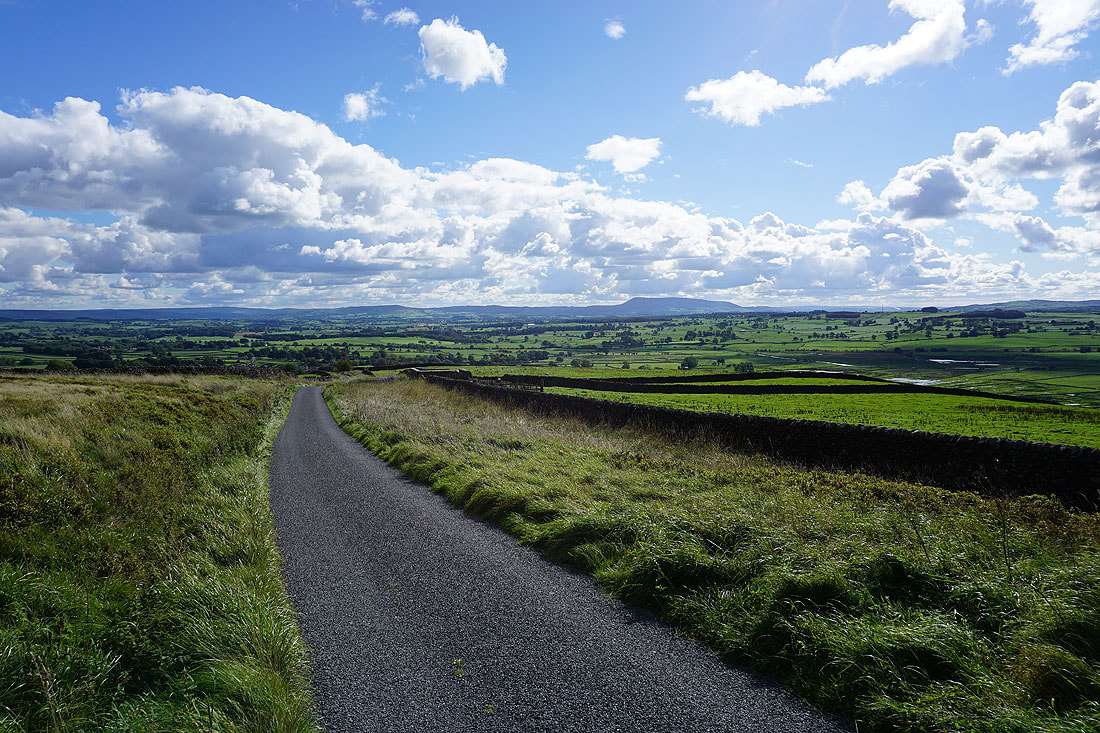
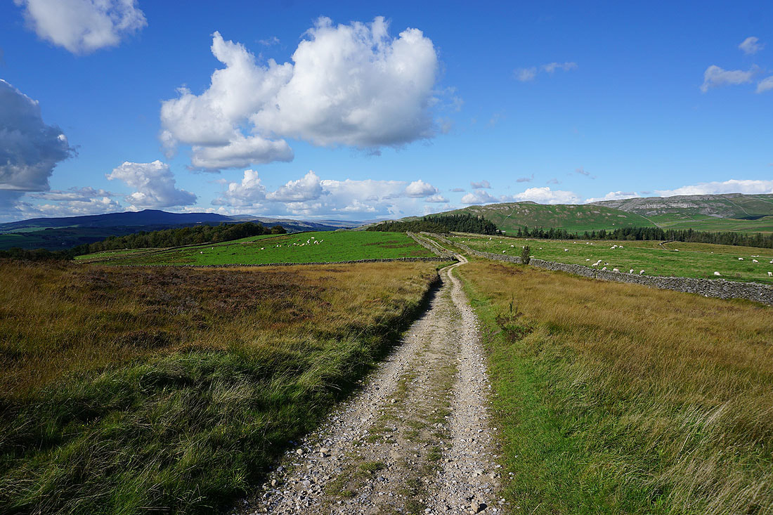
At the tarmacked road's end I follow a byway north towards the moorland of Hunter Bark
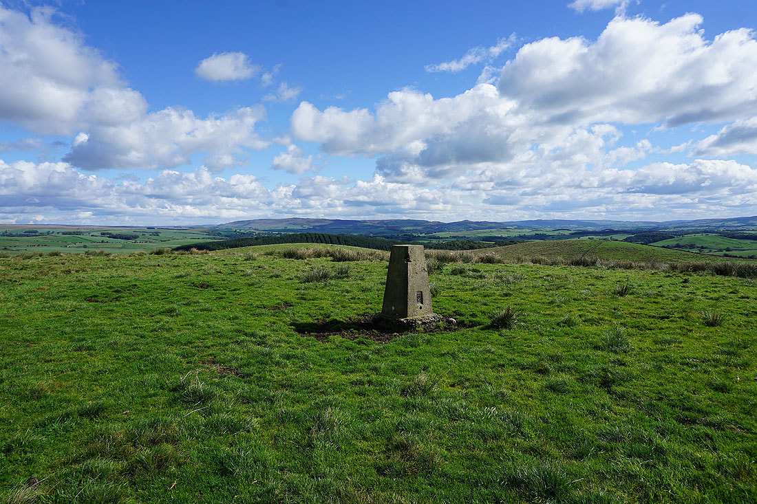
Pendle Hill in the distance from Hunter Bark
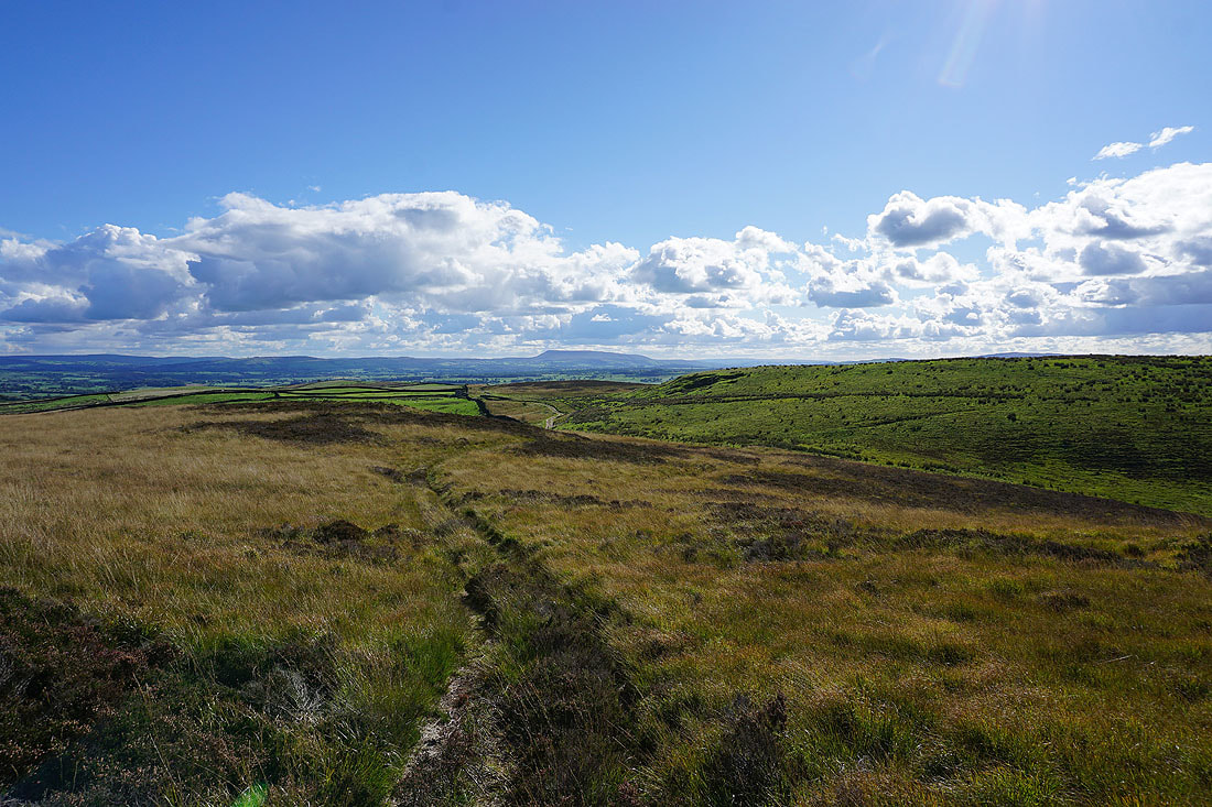
Looking towards Newton Moor with the South Pennines in the distance on the right
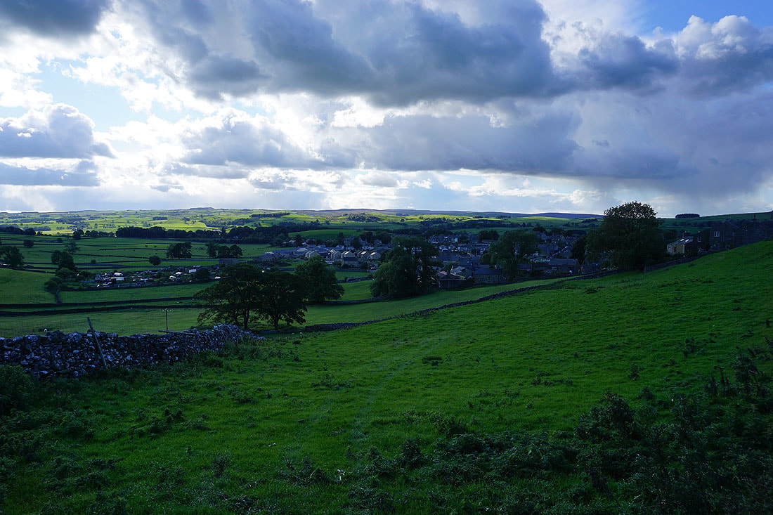
Ingleborough in the distance with Settle in the valley below
The limestone hills of Warrendale Knotts and Attermire Scar
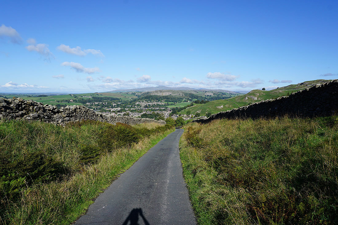
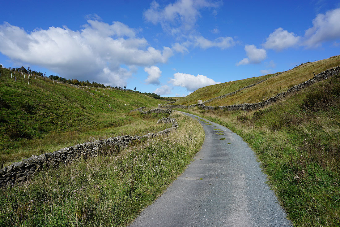
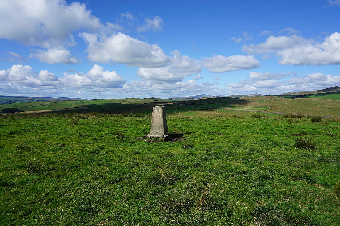
Back onto the Pennine Bridleway for the return to Settle
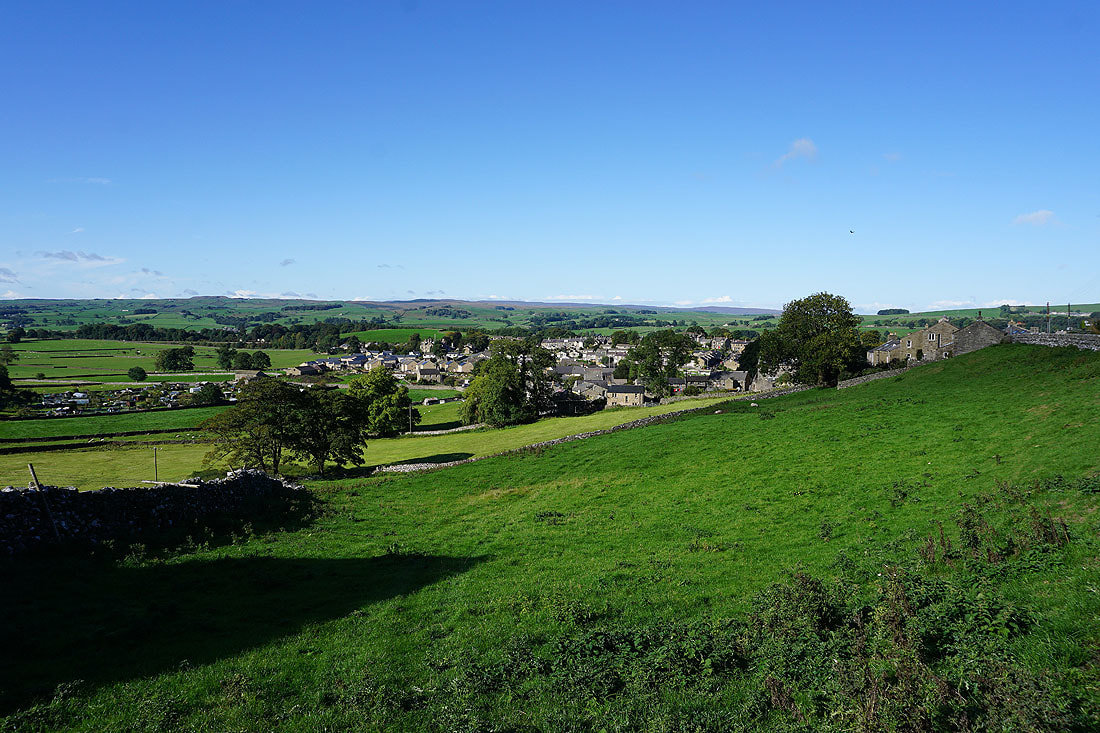
Back above Settle on Mitchell Lane