24th April 2011 - Carlingill and The Calf
Walk Details
Distance walked: 8.3 miles
Total ascent: 2593 ft
OS map used: OL19 - Howgill Fells & Upper Eden Valley
Time taken: 6.5 hrs
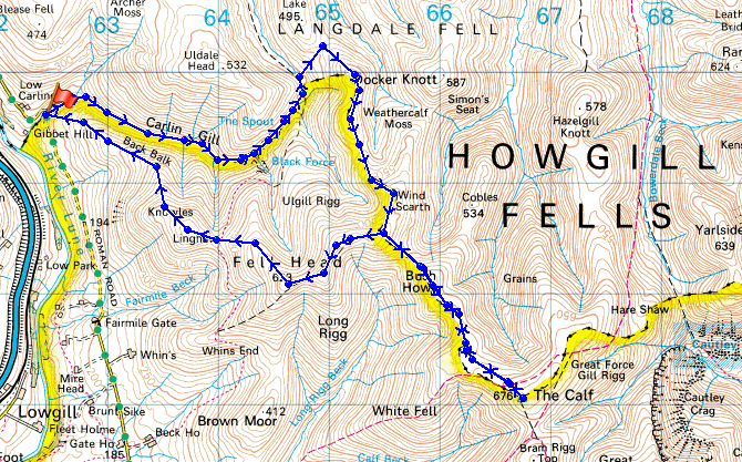
Route description: Carlingill Bridge-Carlin Gill-The Spout-Blakethwaite Bottom-Over Sale-Bush Howe-The Calf-Bush Howe-Fell Head-Linghaw-Carlingill Bridge
A walk from Carlingill Bridge up Carlin Gill to The Spout and then Blakethwaite Bottom. From there over the tops of Over Sale, Bush Howe and White Fell Head to The Calf. From there I retraced my route over White Fell Head and Bush Howe to the top of Fell Head. From Fell Head I made my descent back to Carlingill Bridge over Linghaw.
Route map
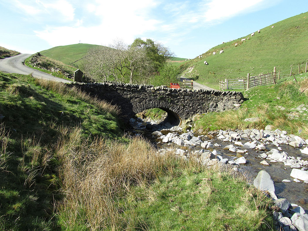
Carlingill Bridge
Carlingill Beck. A narrow path follows the beck upstream.
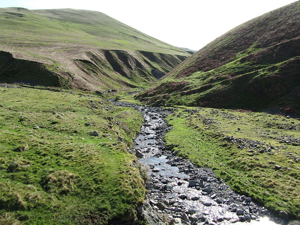
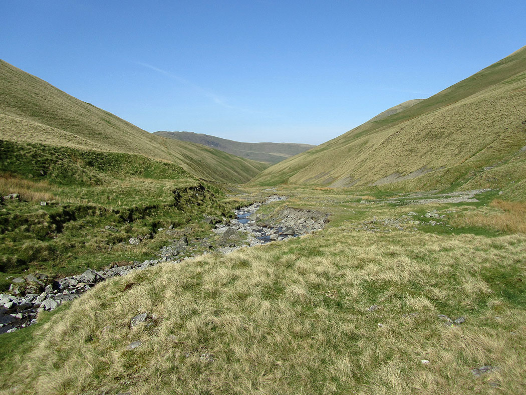
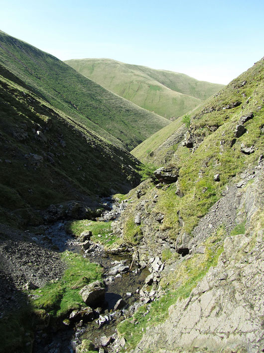
Carlin Gill as I follow it upstream...
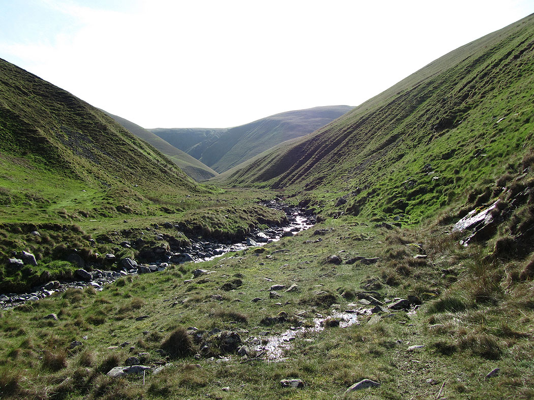
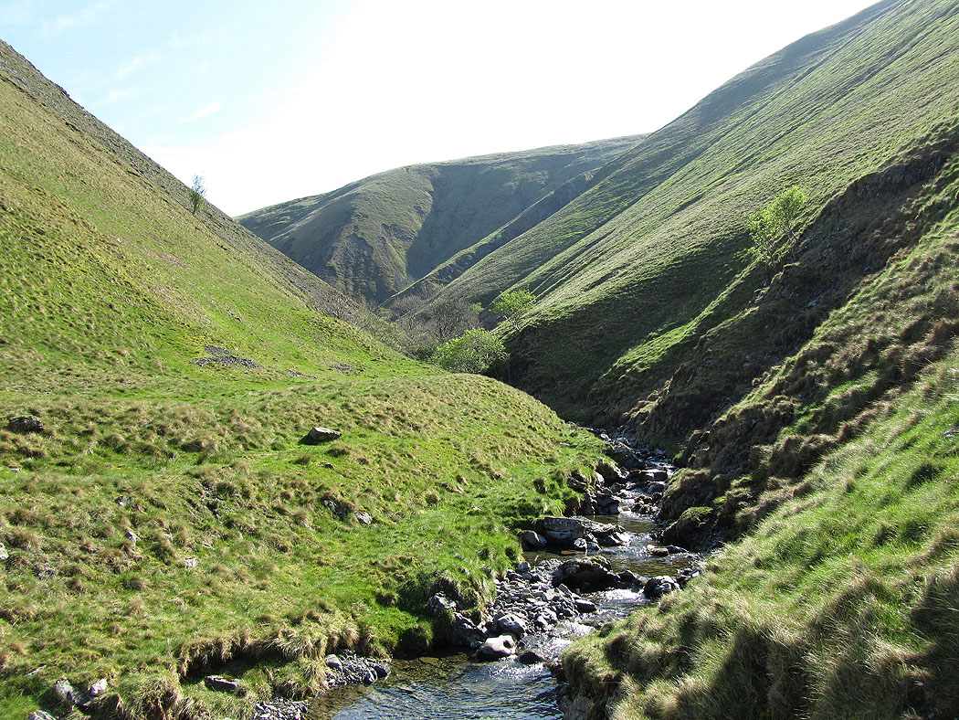
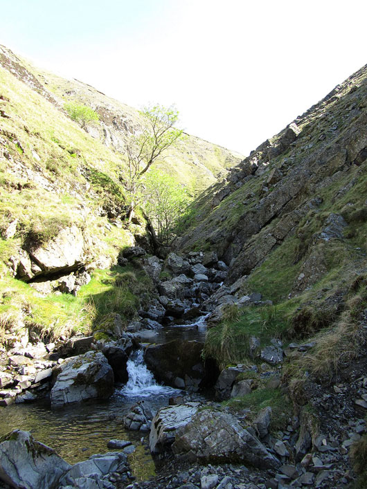
The ravine becomes narrow from now on and the faint path can be difficult to follow. It would be difficult after heavy rain as there is a spot where you use the rocks in the beck to make your way.
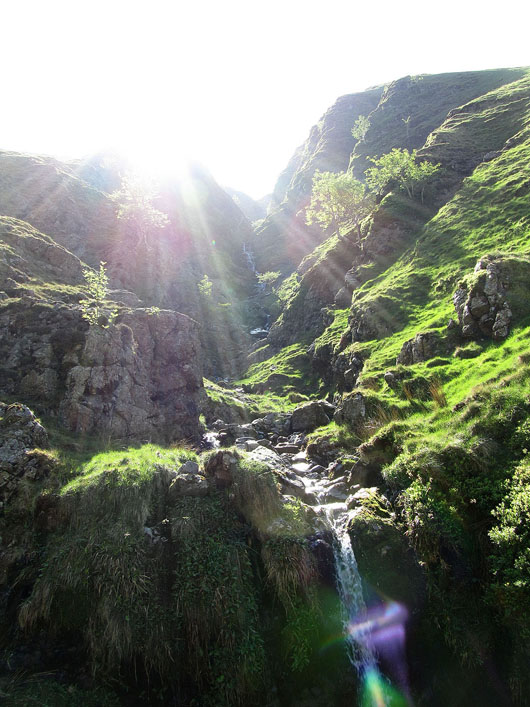
Black Force. Probably the worst time of day to take a picture of it.
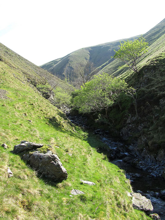
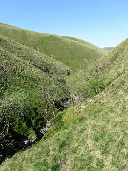
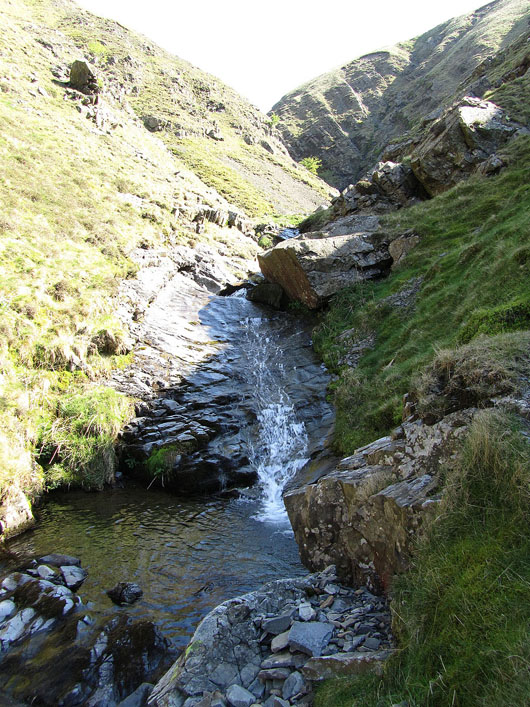
In Carlin Gill..
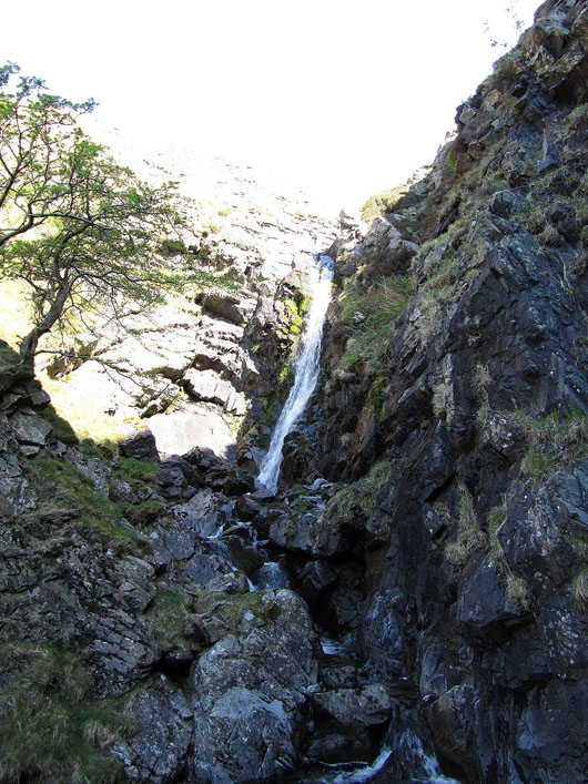
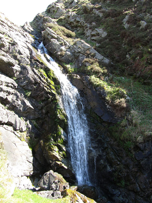
Carlin Gill comes to an end at the waterfall of The Spout
Making my way up out of Carlin Gill. A faint path can be found rising steeply next to The Spout.
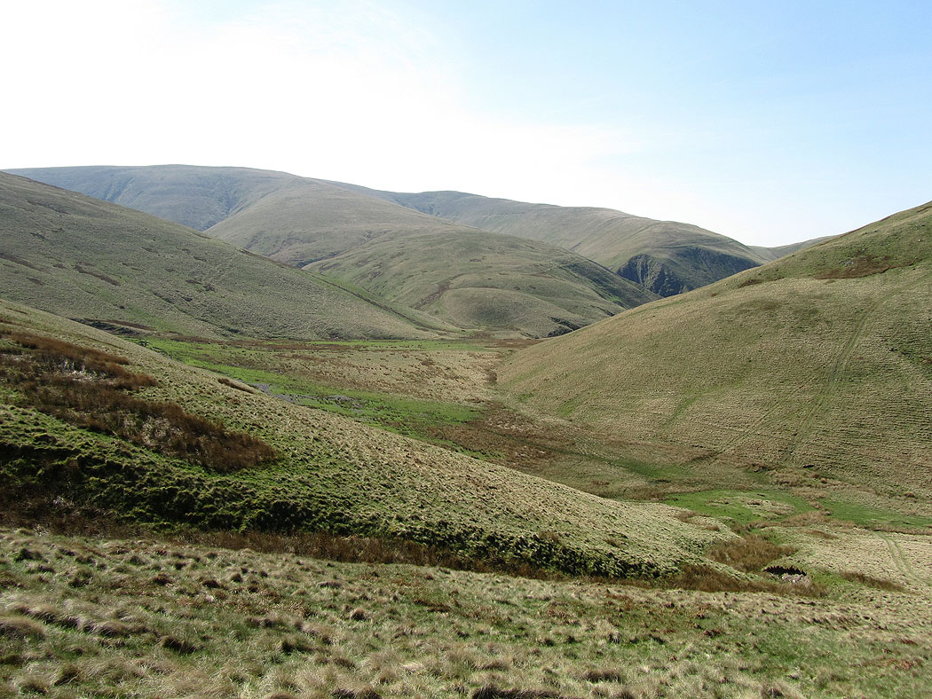
Blakethwaite Bottom on the climb to Over Sale
Uldale Head from Over Sale
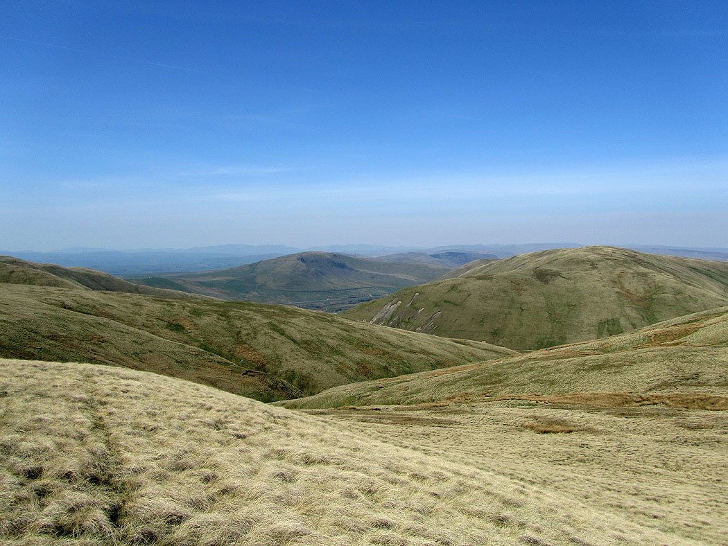
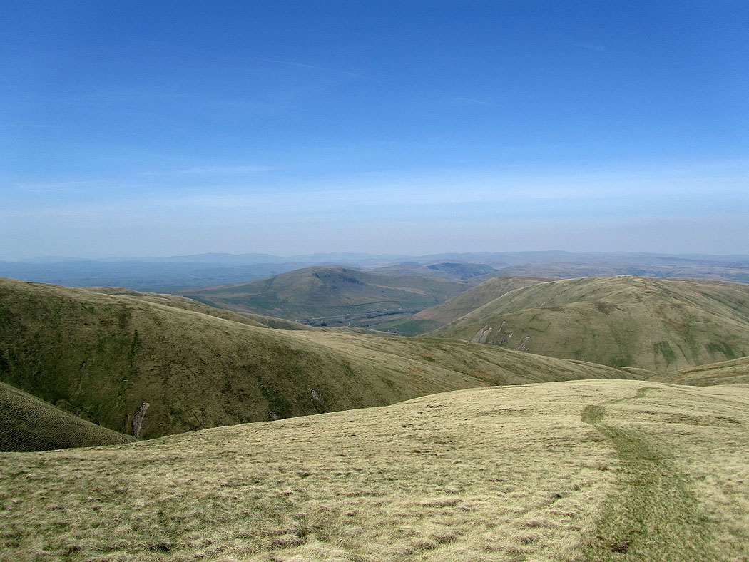
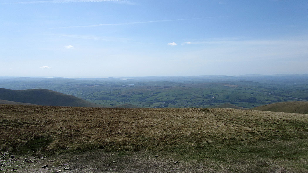
A view to the distant Lake District fells
On route to The Calf
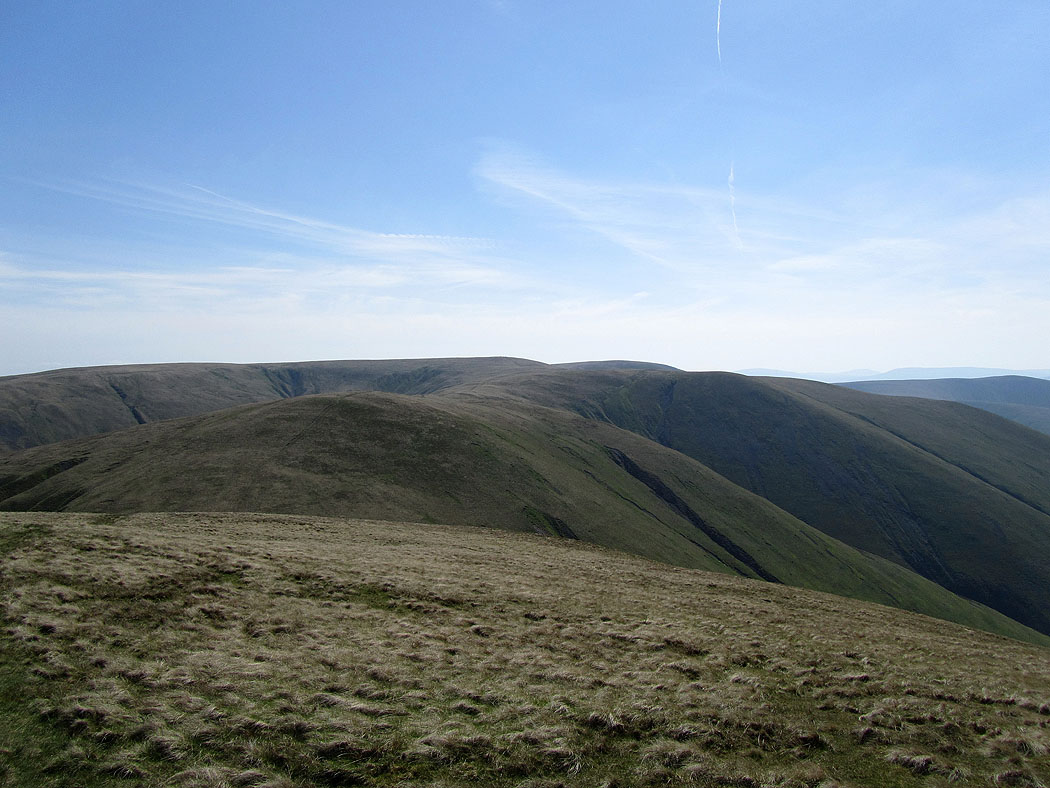
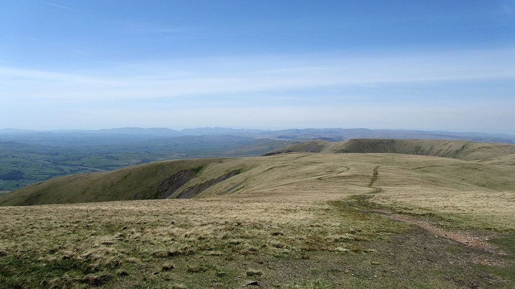
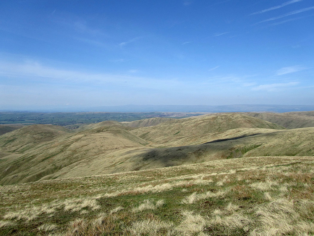
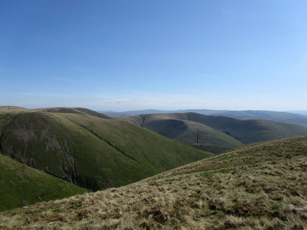
The northern Howgills
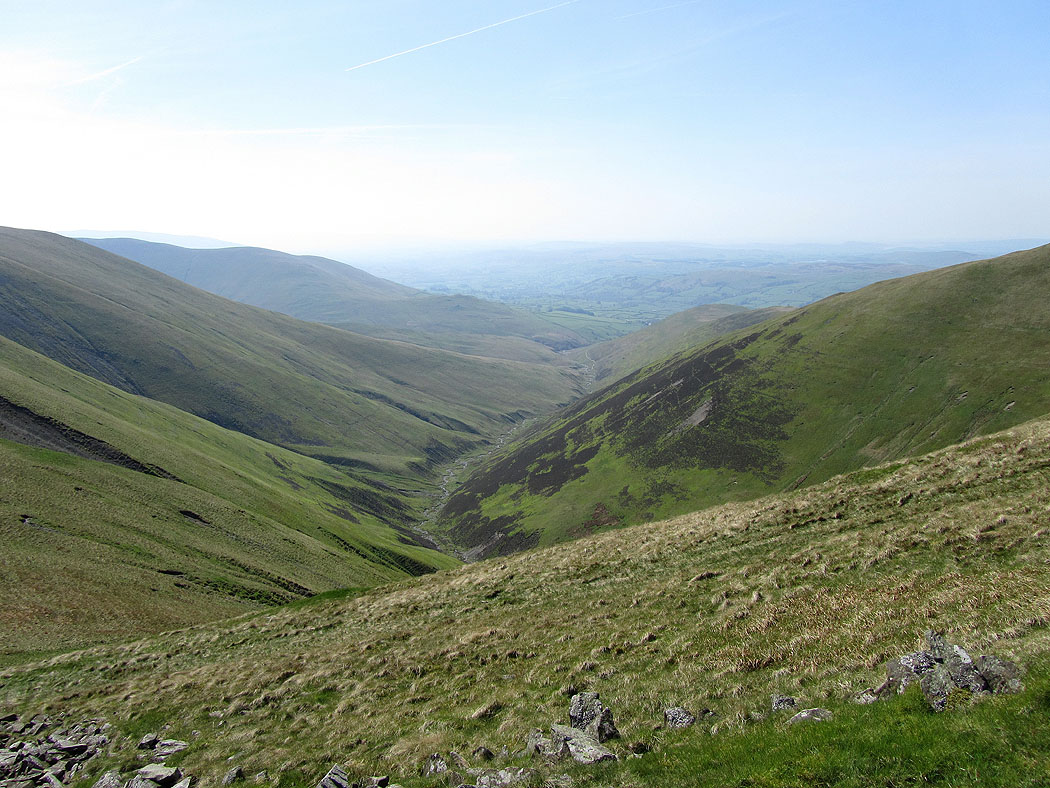
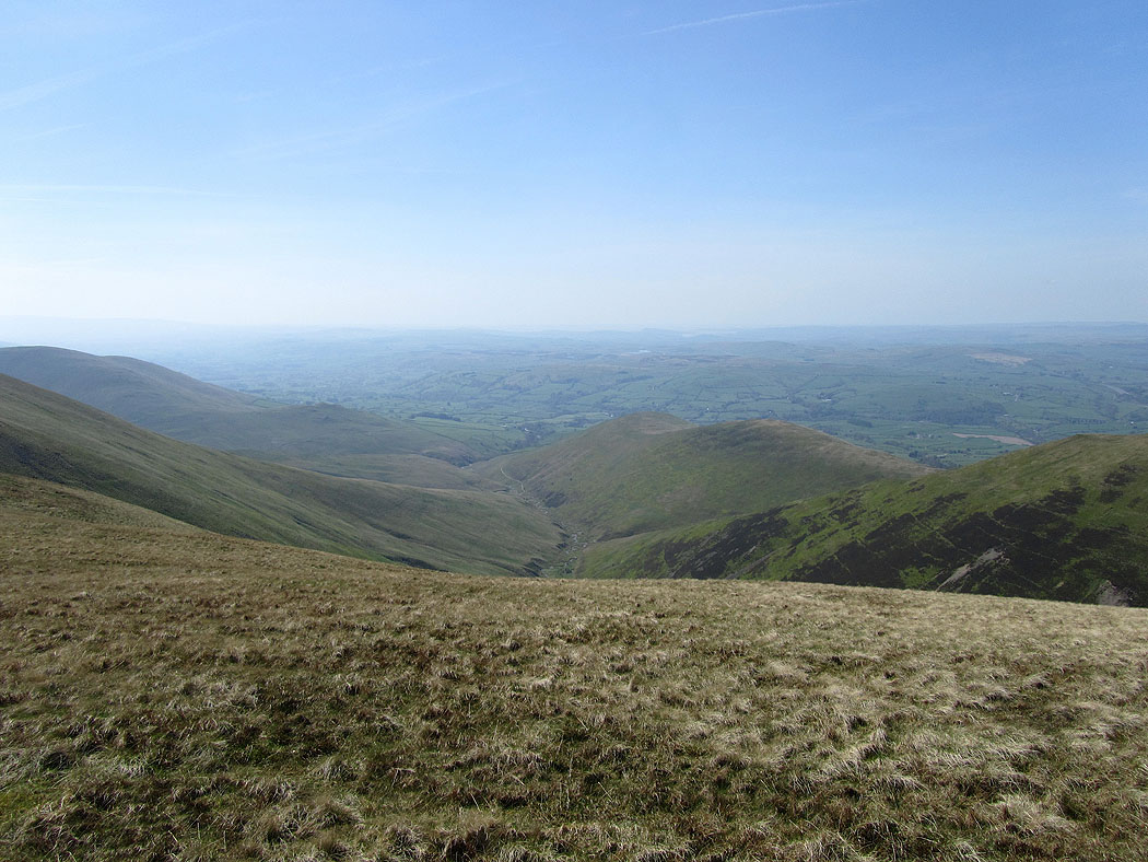
A view down Chapel Beck
Morecambe Bay in the distance
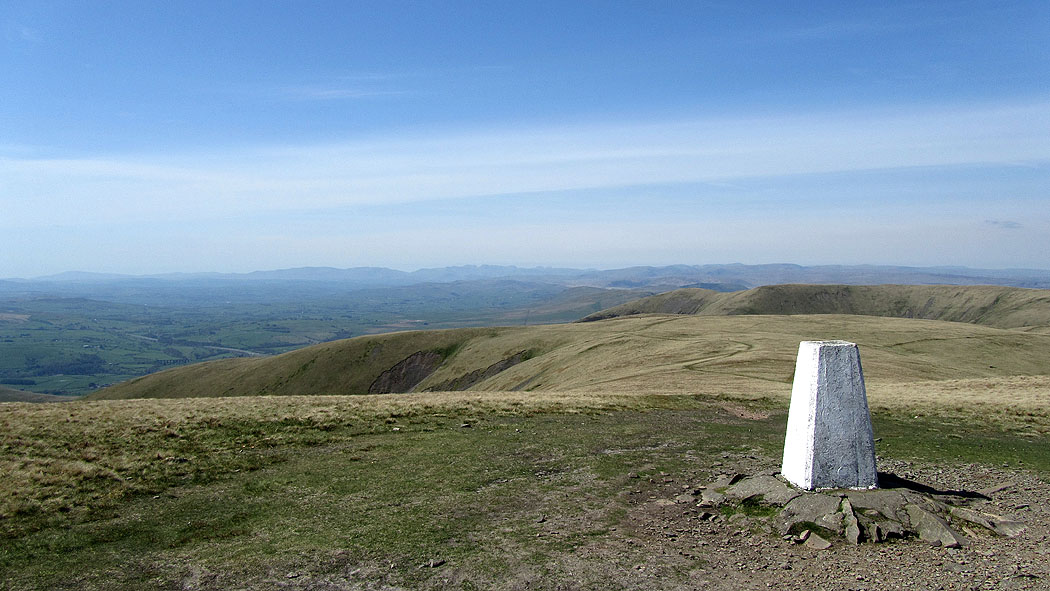
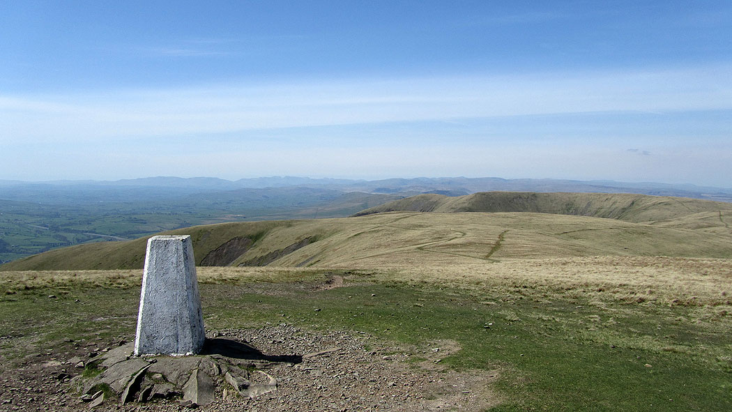
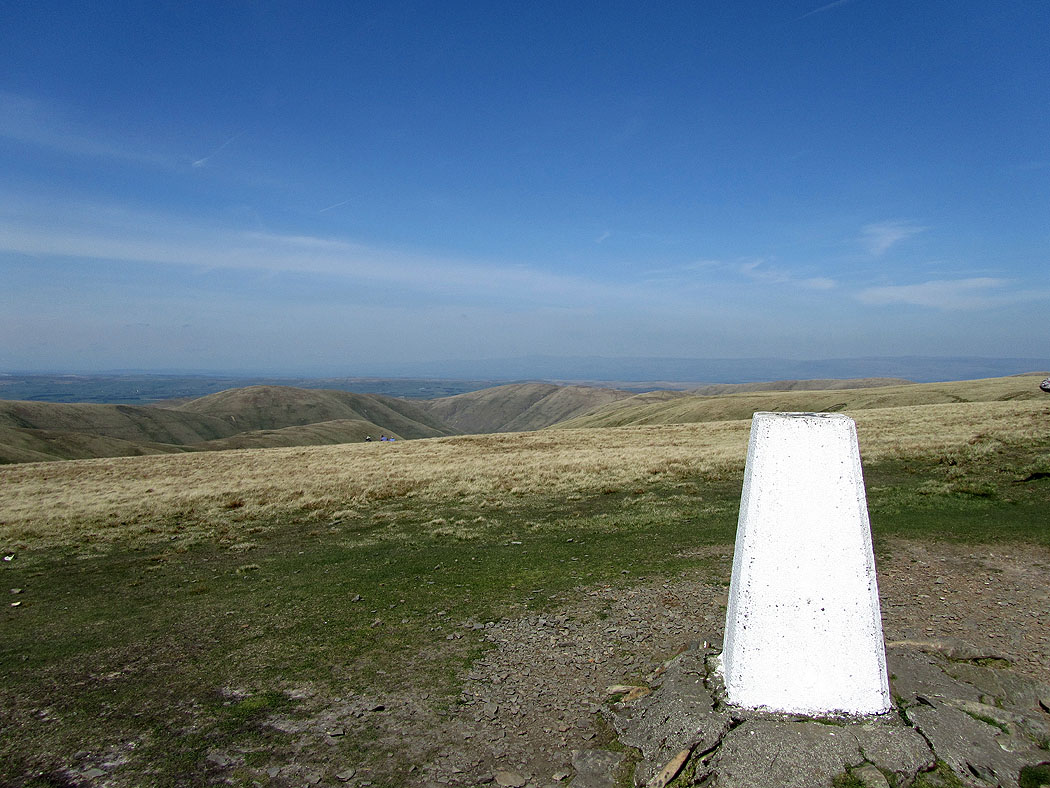
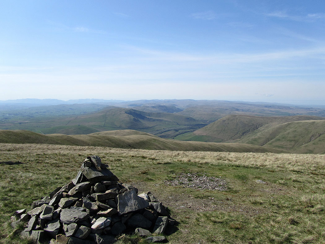
Views to the Lake District fells from the summit of The Calf..
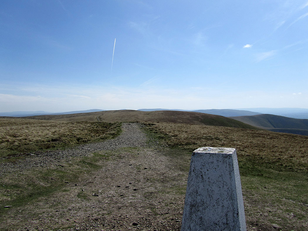
The path to Calders and Sedbergh
Morecambe Bay in the distance
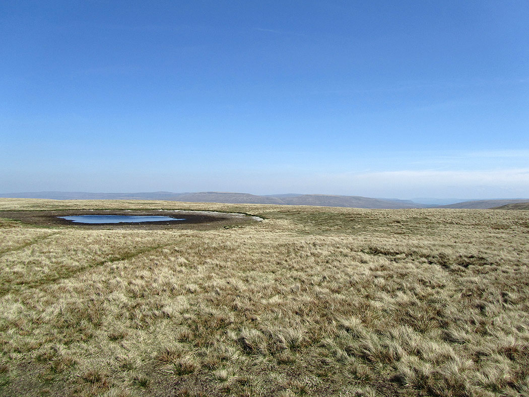
This the lowest I've ever seen the summit tarn
North Pennines in the far distance
I set off for Fell Head which is the one in the distance on the right
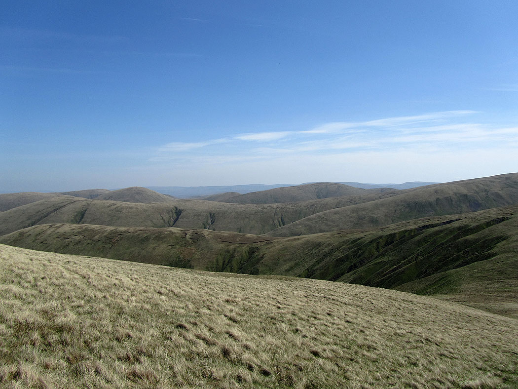
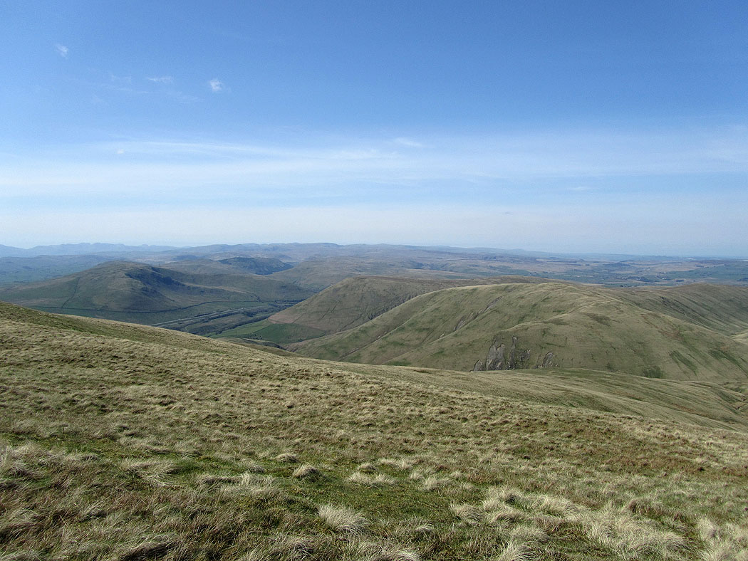
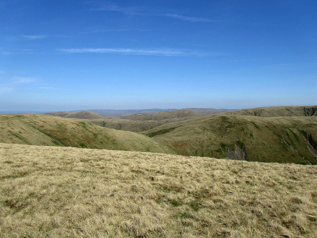
Across the northern Howgills to the North Pennines
A view on the way to Fell Head
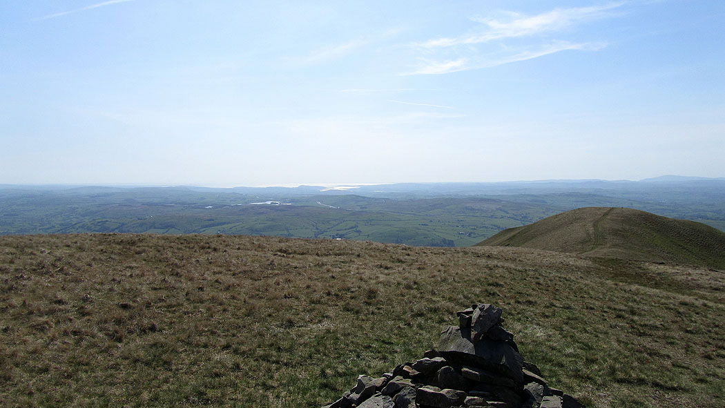
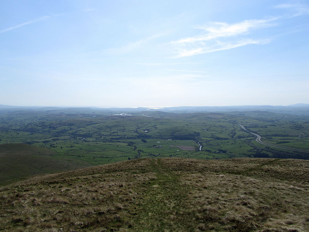
Morecambe Bay from Fell Head
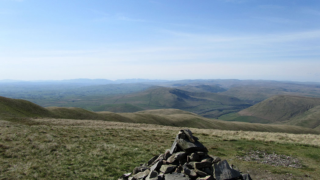
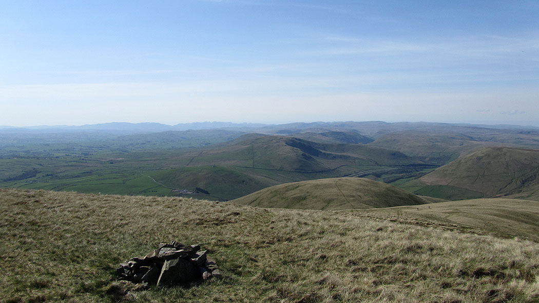
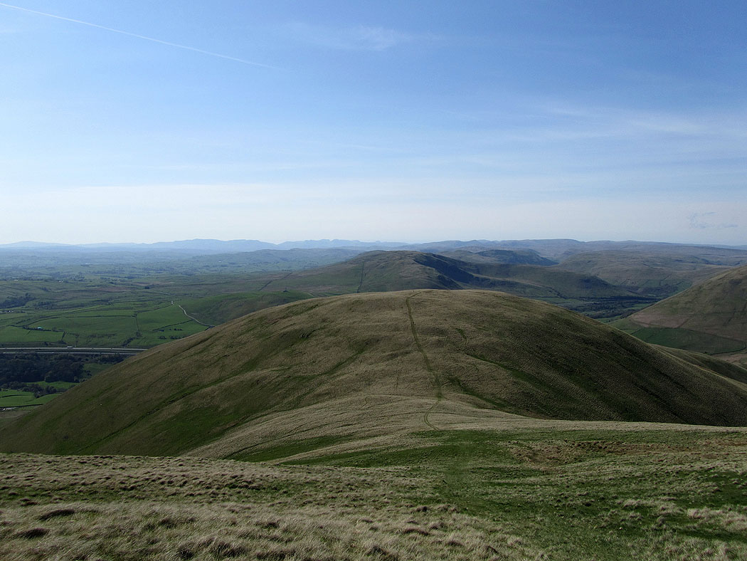
The Lake District fells from Fell Head
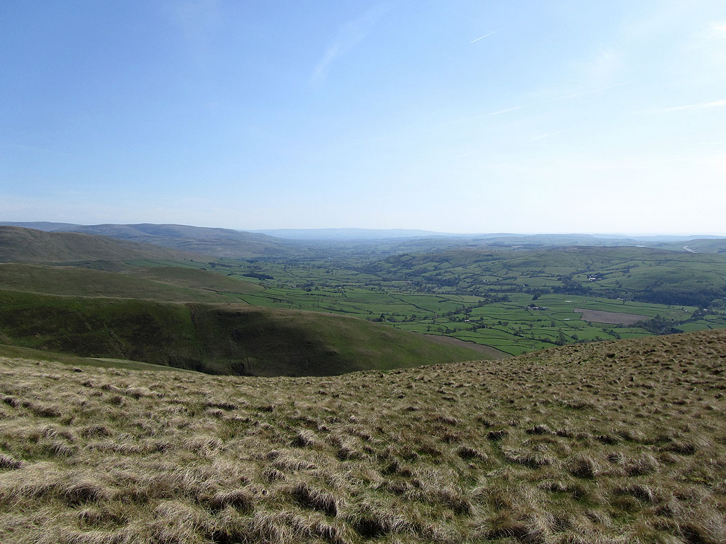
A view across to the Yorkshire Dales in the distance
A view of the northern Howgills
Enjoying the view..
Morecambe Bay
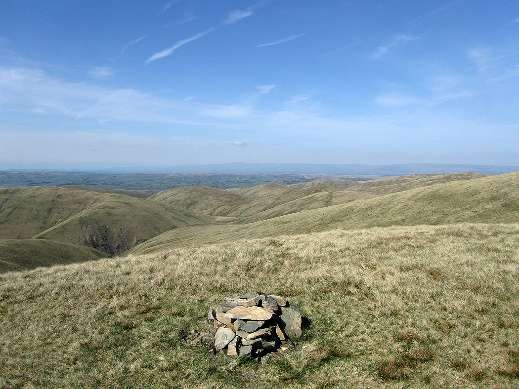
North Pennines in the distance across the northern Howgills
One last shot before I head downhill
Heading for Linghaw
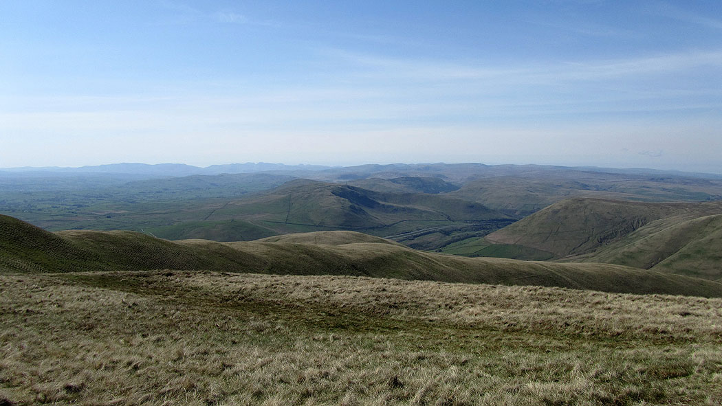
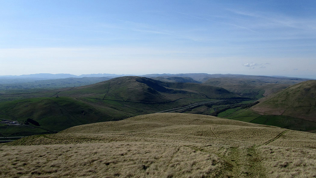
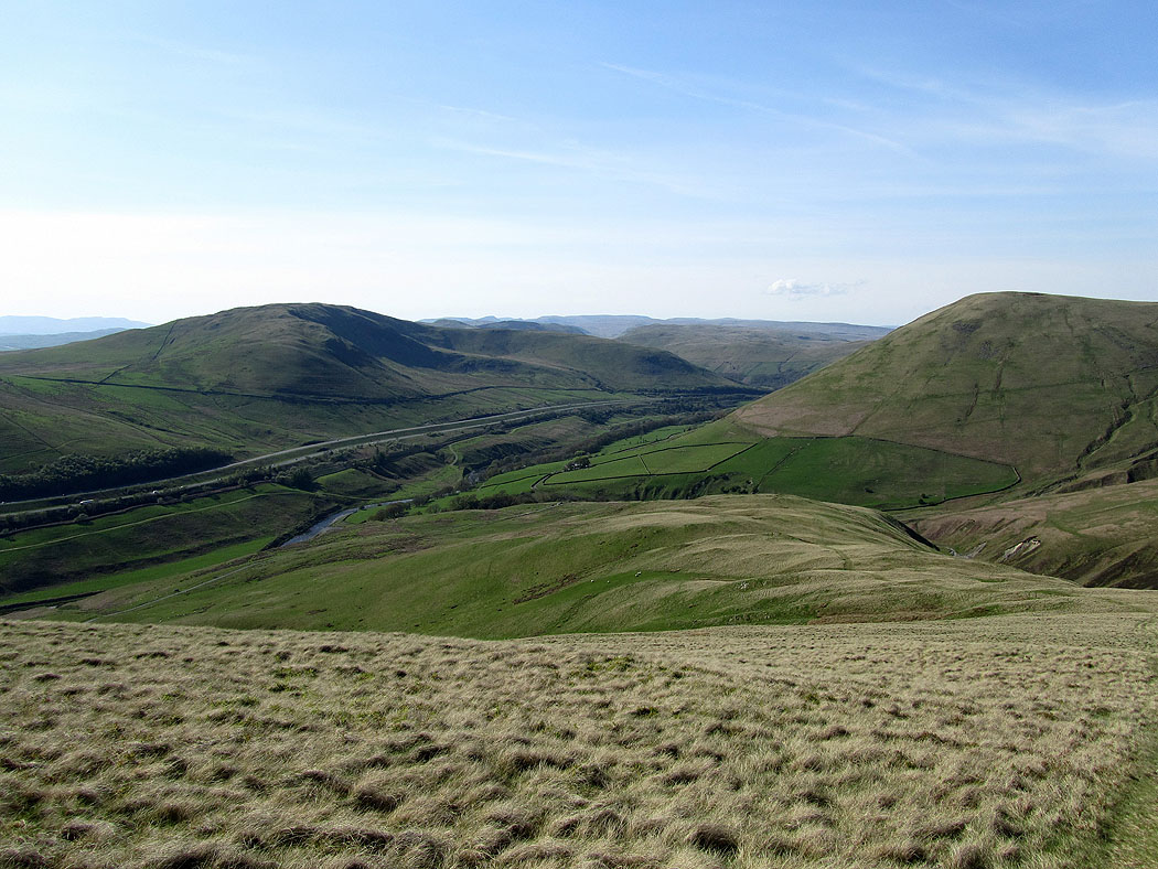
The Lune valley
A great view
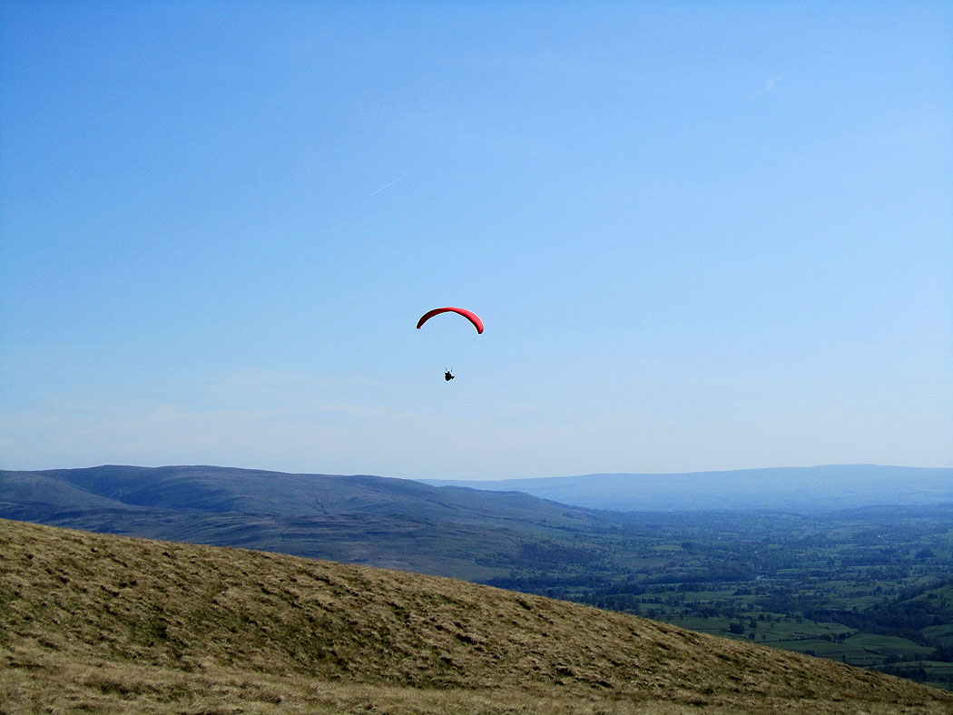
Letting the wind do the work
Downhill all the way to where I'm parked
