24th April 2022 - A Langden Round
Walk Details
Distance walked: 10.6 miles
Total ascent: 1809 ft
OS map used: OL41 - Forest of Bowland & Ribblesdale
Time taken: 6.5 hrs
Route description: Parking area at Langden Intake on the Trough of Bowland road-Langden Brook-Langden Castle-Fiendsdale-Fiendsdale Head-Fair Snape Fell-Totridge-Hareden Farm-Parking area at Langden Intake on the Trough of Bowland road
I haven't done much walking in the Forest of Bowland since I moved home three years ago. With more choices close to where I now live, such as the moors of Bronte Country and those around Wharfedale in the Yorkshire Dales, it hasn't crossed my mind that often when I've been deciding on where to go at the weekend, except for when it's that time of year when the bluebells are flowering. So, I'm going to try and reacquaint myself with the area and do some walks that I've already done before, as well as have a go at working out some new routes. With a fine spring day forecast, and it being pretty dry during recent weeks, I decided today was a good one for a walk in the Forest of Bowland. The route I went for was familiar, having done it a few times, the last one in May 2018, taking in the valley of Langden Brook, Fair Snape Fell and Totridge. It turned out to be a lovely spring day for a walk on the Bowland fells, sunny spells and fair weather clouds, and great visibility for taking in the views.
From the parking area at Langden Intake I made my way up the access road to the waterworks before taking the footpath up the valley of Langden Brook to the ruin of Langden Castle. Past here and I took the path signposted for Fiendsdale Head. This soon crossed Langden Brook and then I followed it up Fiendsdale to eventually arrive at Fiendsdale Head. From there I followed the fence up to the summit of Fair Snape Fell, marked by a large cairn with a post in it, before heading across to the trig point and shelter to have my lunch. I then backtracked to the summit to continue with following the fence and then wall along the moorland ridge to the summit of Totridge. That part of the walk would potentially have been the boggiest, but it wasn't too bad and just a bit squelchy in places. I then made my way down by a concessionary path to reach the bridleway down to Hareden Farm. A concessionary path from the farm's access road follows Langden Brook north back to the start at Langden Intake.
Route map
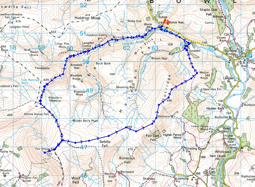
© Crown copyright. All rights reserved. License number PU 100034184.
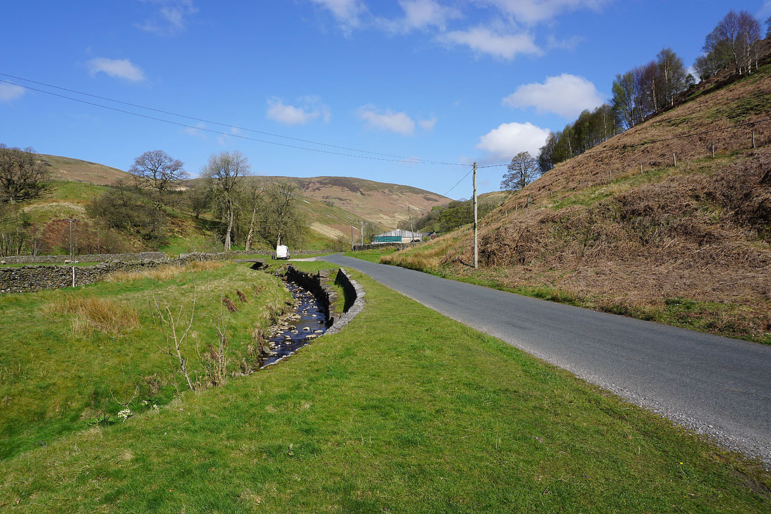
By the road to the Trough of Bowland at Langden Intake
I start by walking up the road to the waterworks buildings at Langden Intake
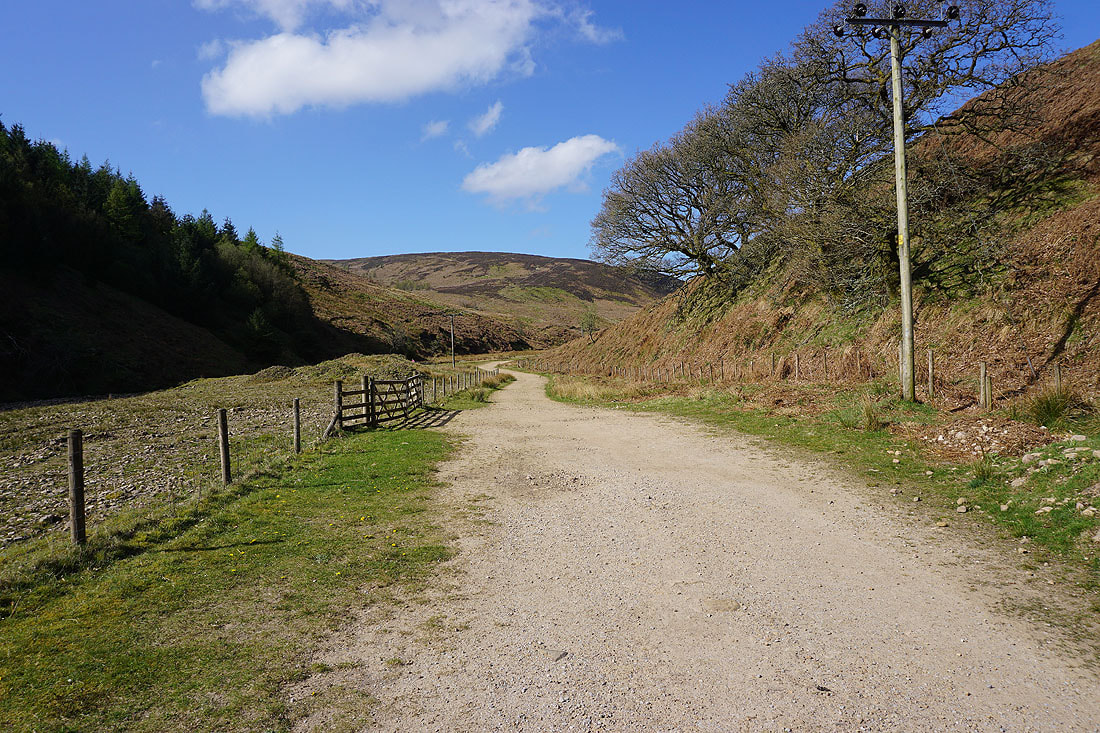
I soon reach the footpath up the valley of Langden Brook
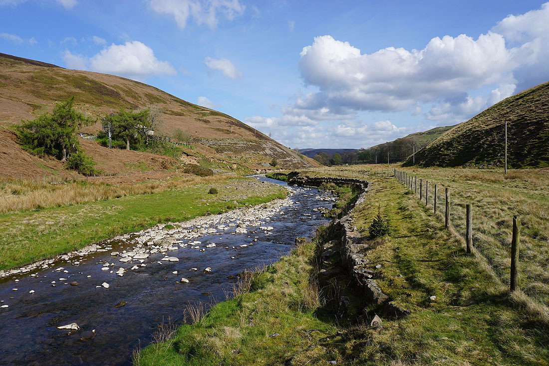
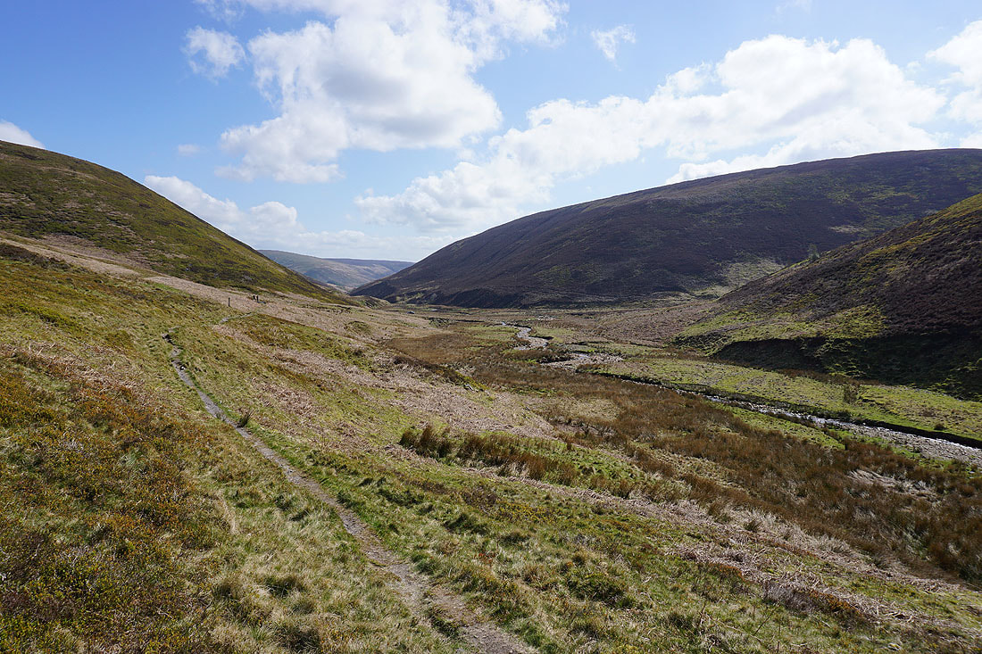
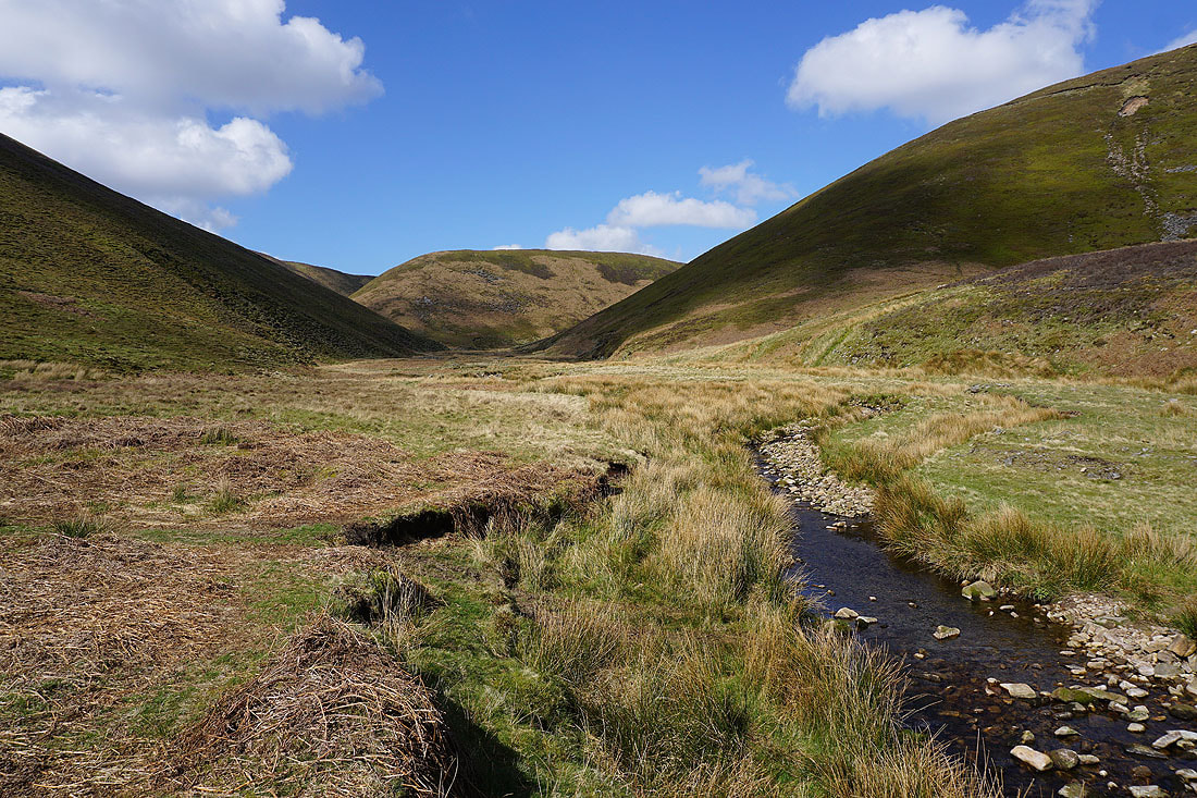
Following the path by Langden Brook and there are great views of this secluded valley....
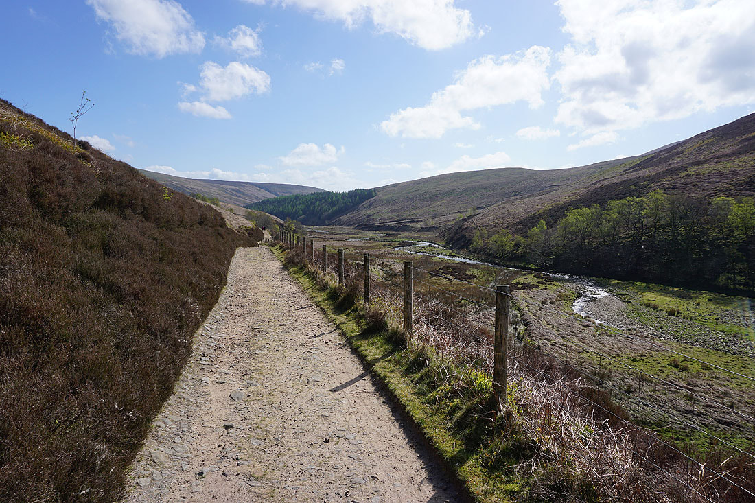
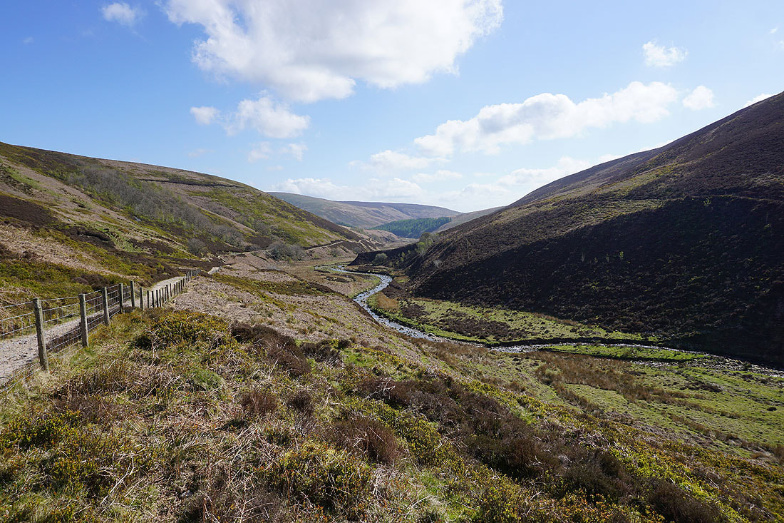
Approaching Langden Castle with the hillside of Bleadale Nab ahead
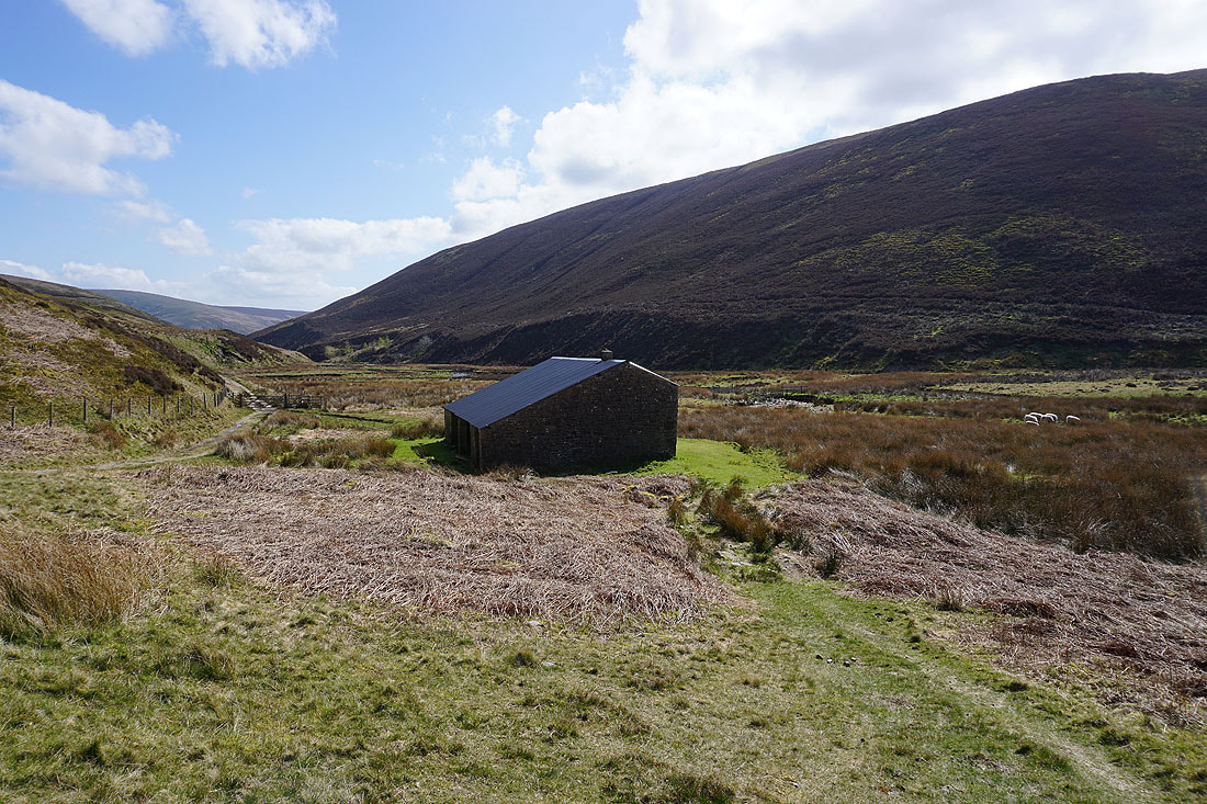
The ruin of Langden Castle
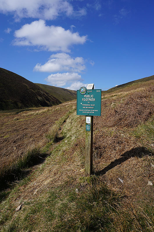
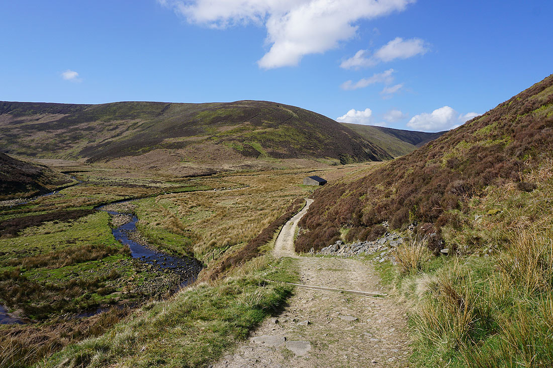
Taking the path to Fiendsdale Head
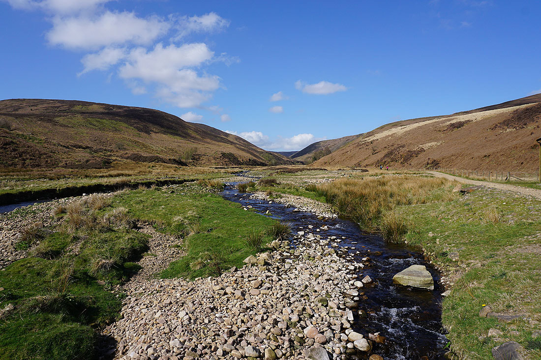
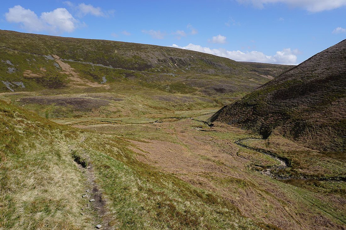
Looking back down Langden Brook
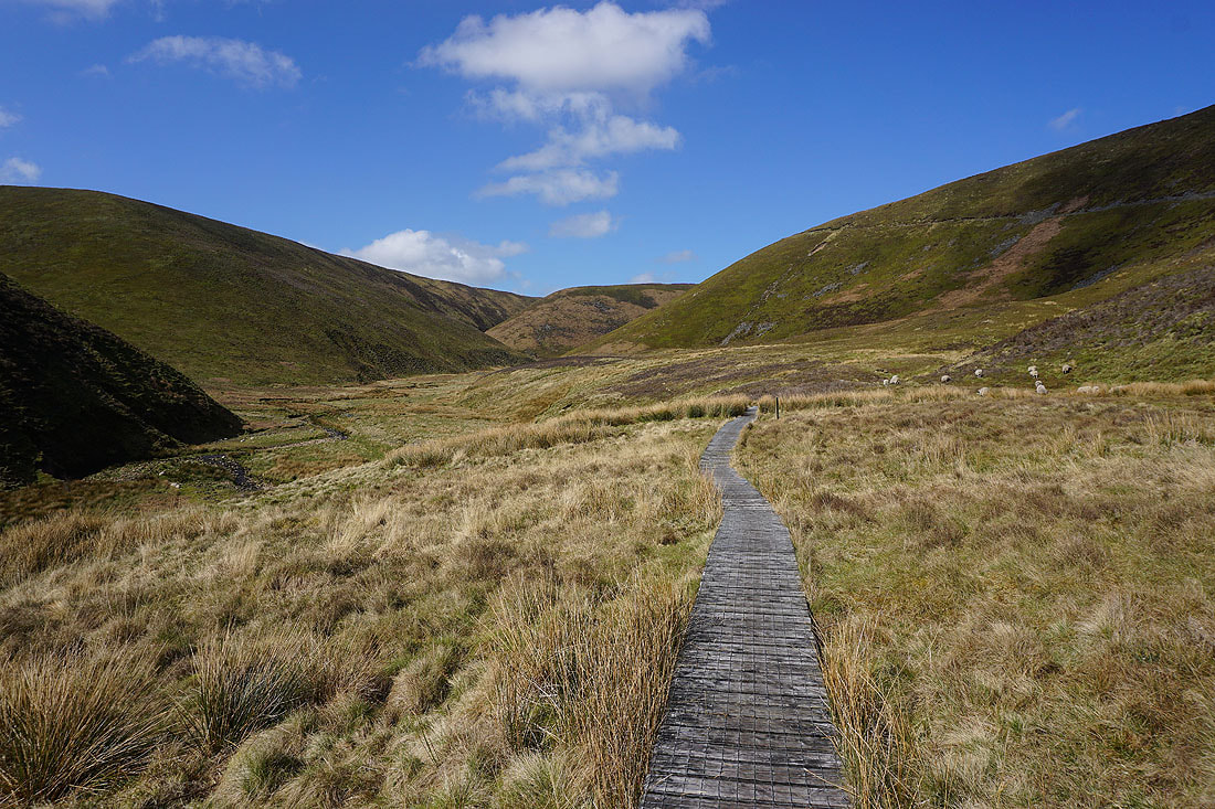
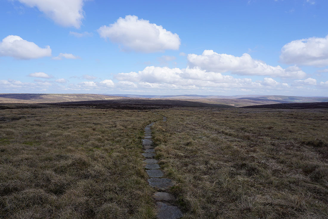
Across the duckboards, and then I'll cross Langden Brook and take the path up into Fiendsdale on the left...
Looking towards Stransdale Nab as I cross Langden Brook
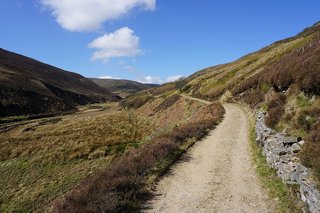
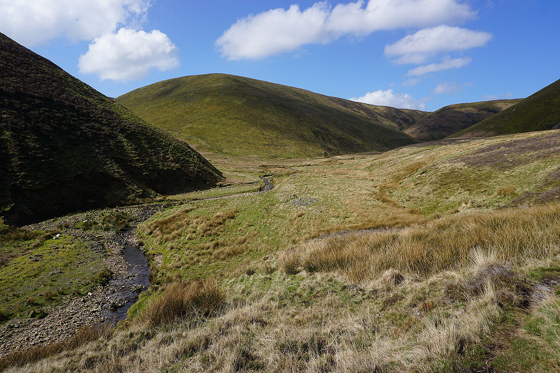
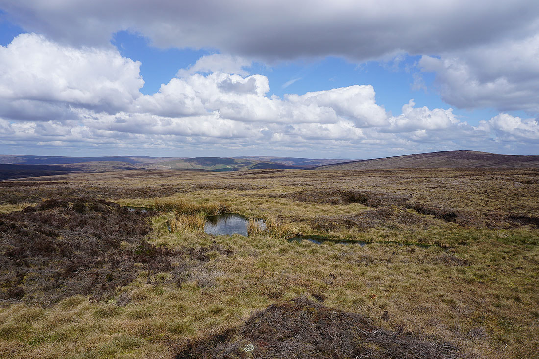
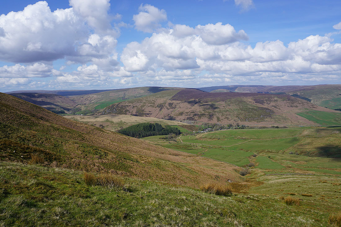
Fiendsdale as I follow the path up the valley...
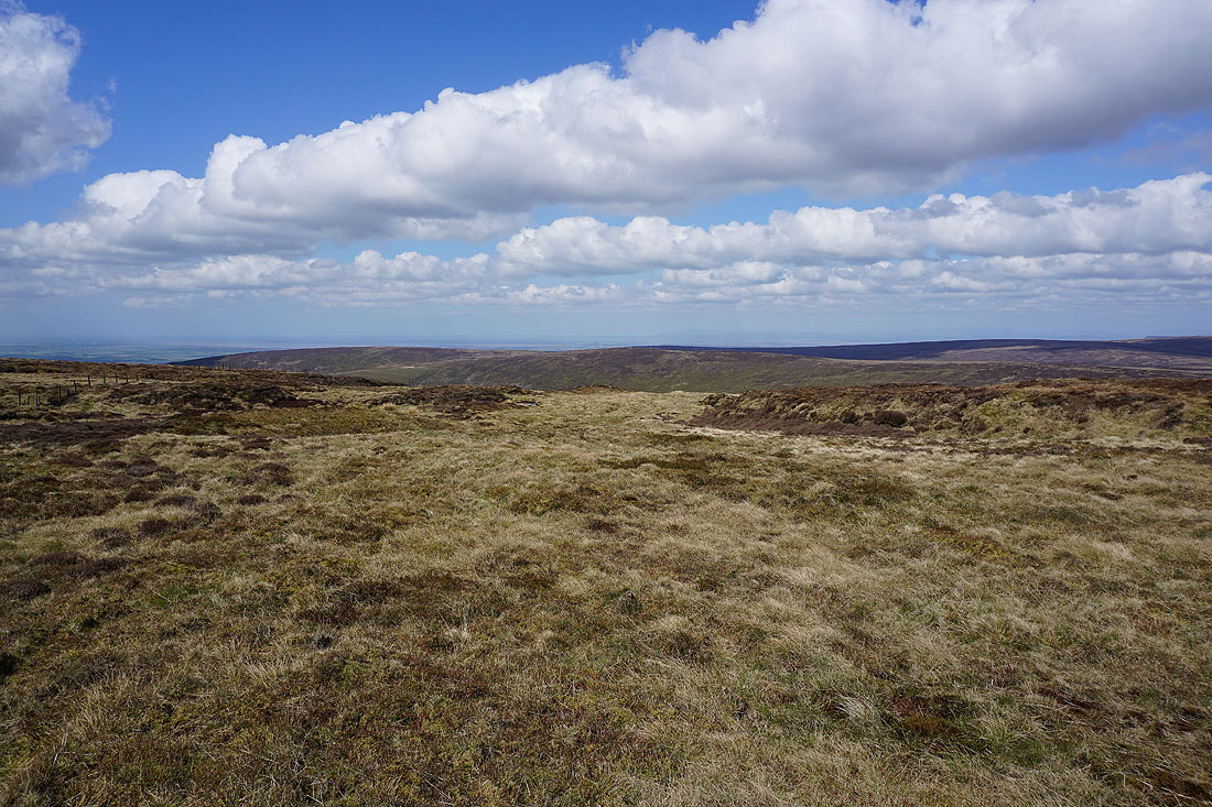
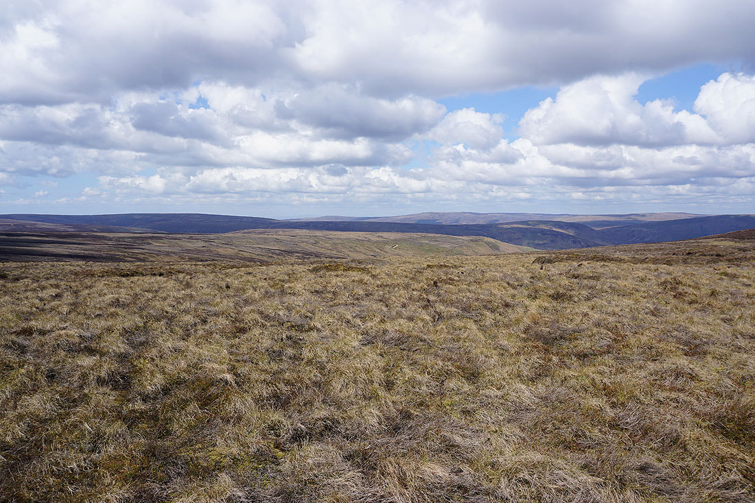
The view opens up to the north to Wolfhole Crag and its surrounding fells as I reach Fiendsdale Head
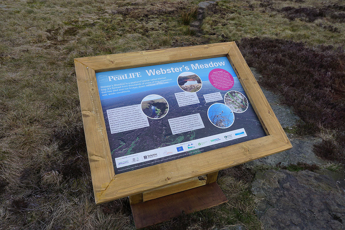
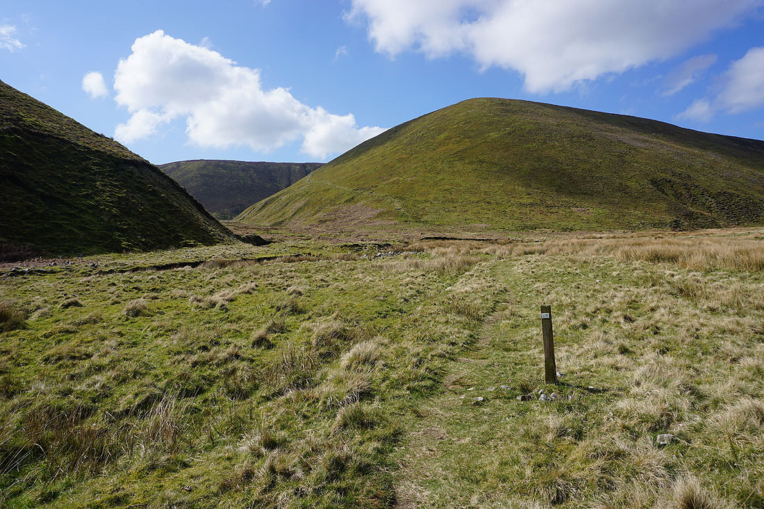
There's an ongoing program of restoration taking place on these moors. This is one of a couple of noticeboards that I passed explaining the process.
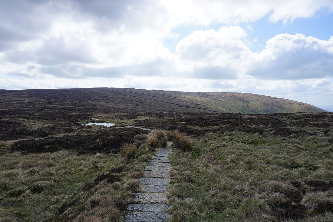
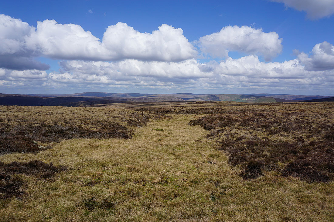
Heading for Fair Snape Fell
Looking back to the northwest to the Bleasdale Moors..
..and then to the north to Hawthornthwaite Fell and Ward's Stone
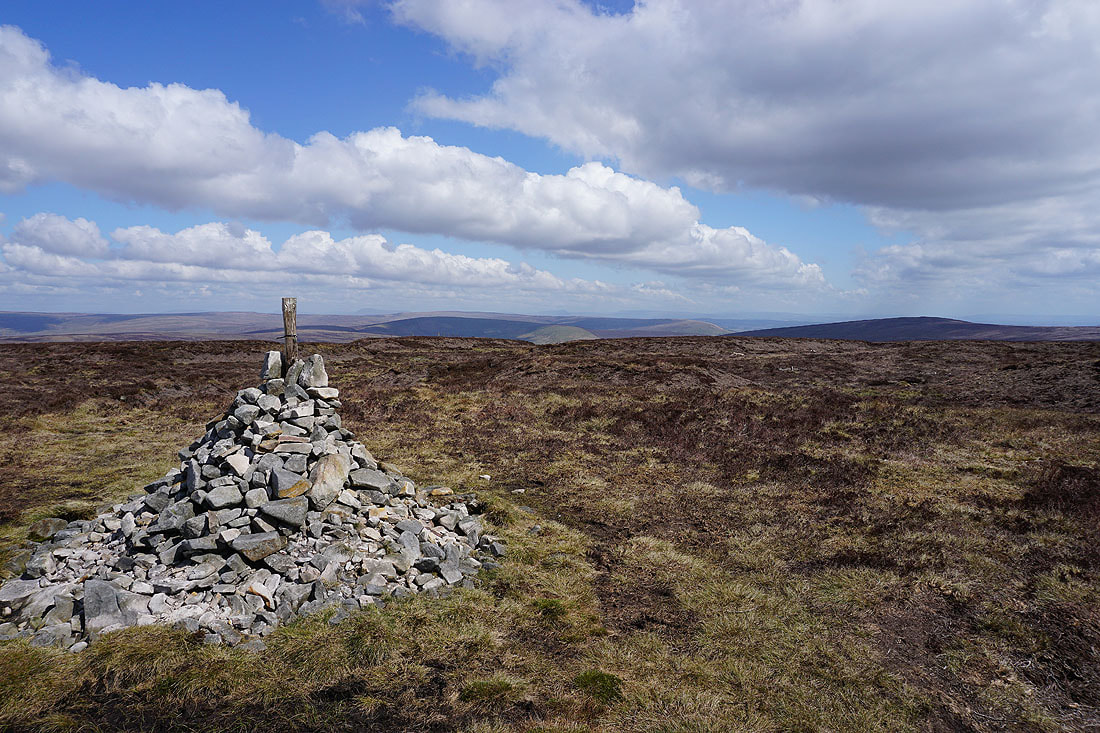
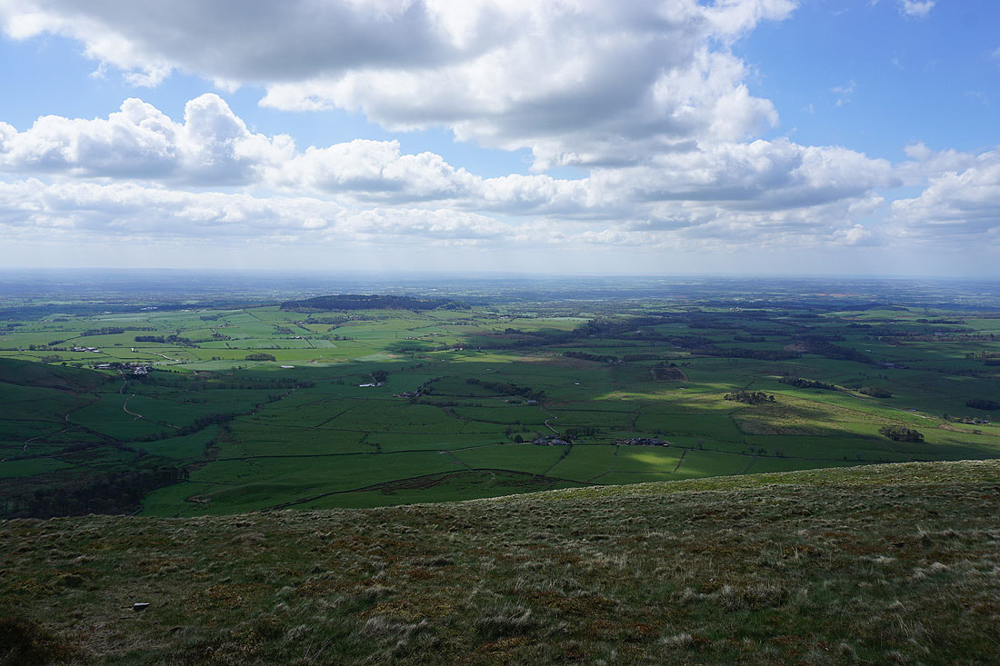
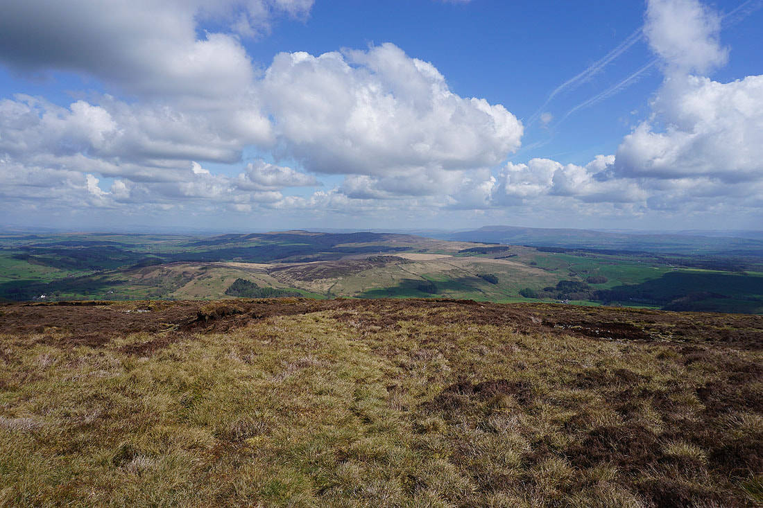
At the cairn that marks the high point of Fair Snape Fell. The visibility is good enough for a great all-round view today. Looking to the northeast I can make out Ingleborough and Penyghent beyond the Bowland fells of Wolfhole Crag and White Hill.
Pendle Hill in the distance
Looking north to Hawthornthwaite Fell and Ward's Stone
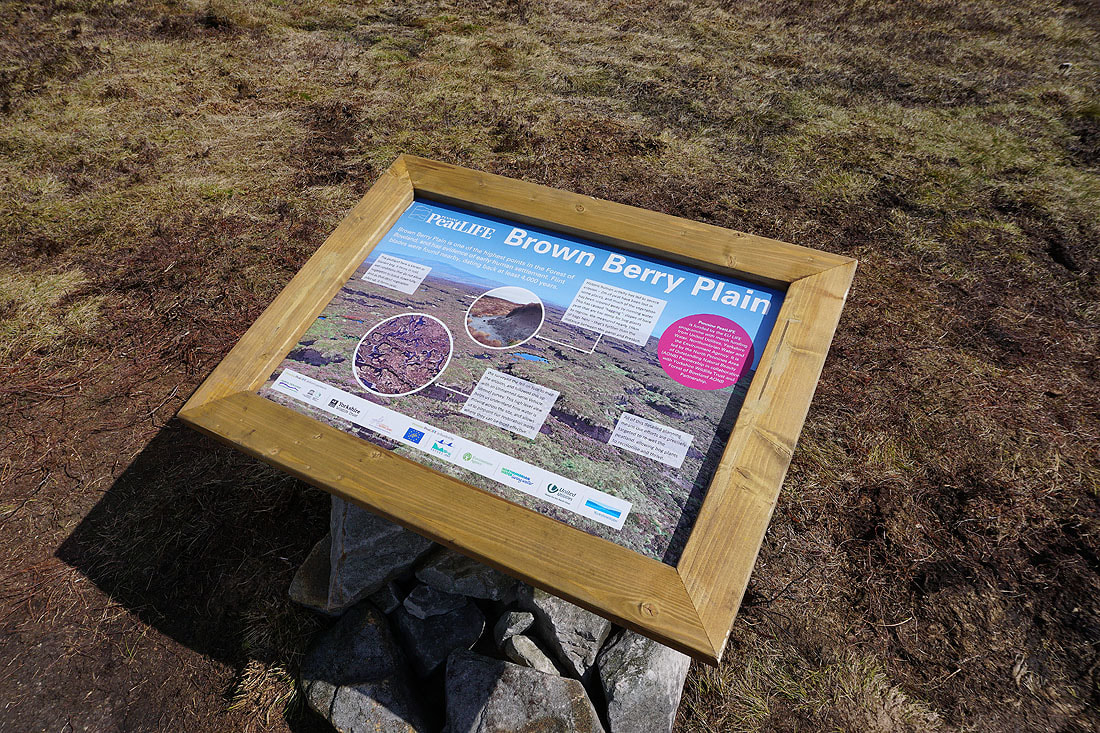
The second of the noticeboards that I passed
As I head for the trig point on Fair Snape Fell I can make out the coast and Morecambe Bay beyond Hazelhurst Fell to my right
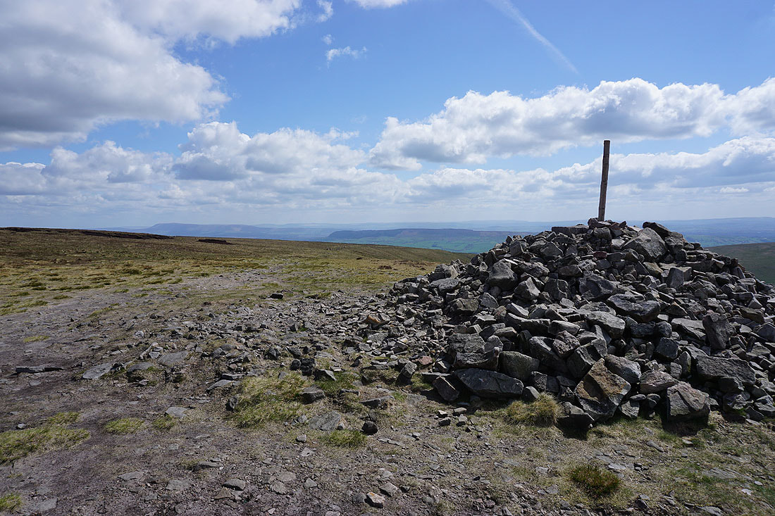
Pendle Hill and Longridge Fell from the Paddy's Pole cairn on Fair Snape Fell
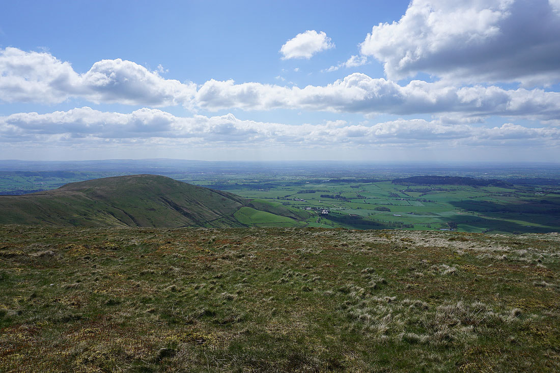
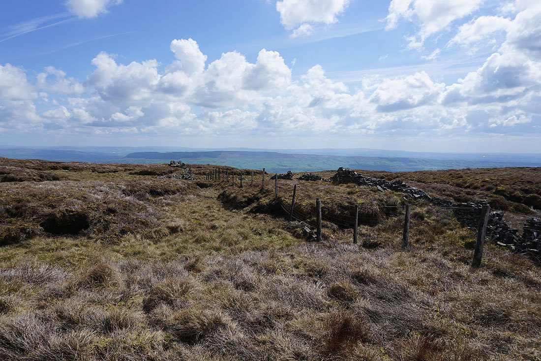
Parlick, Beacon Fell, and The Fylde to the south and southwest..
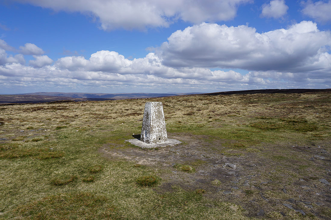
The trig point on Fair Snape Fell
Morecambe Bay and the hazy outline of Black Combe in the Lake District beyond Hazelhurst Fell
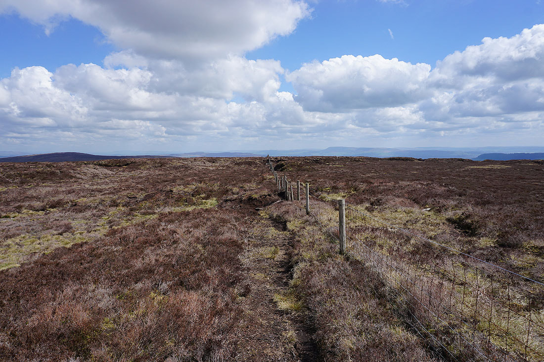
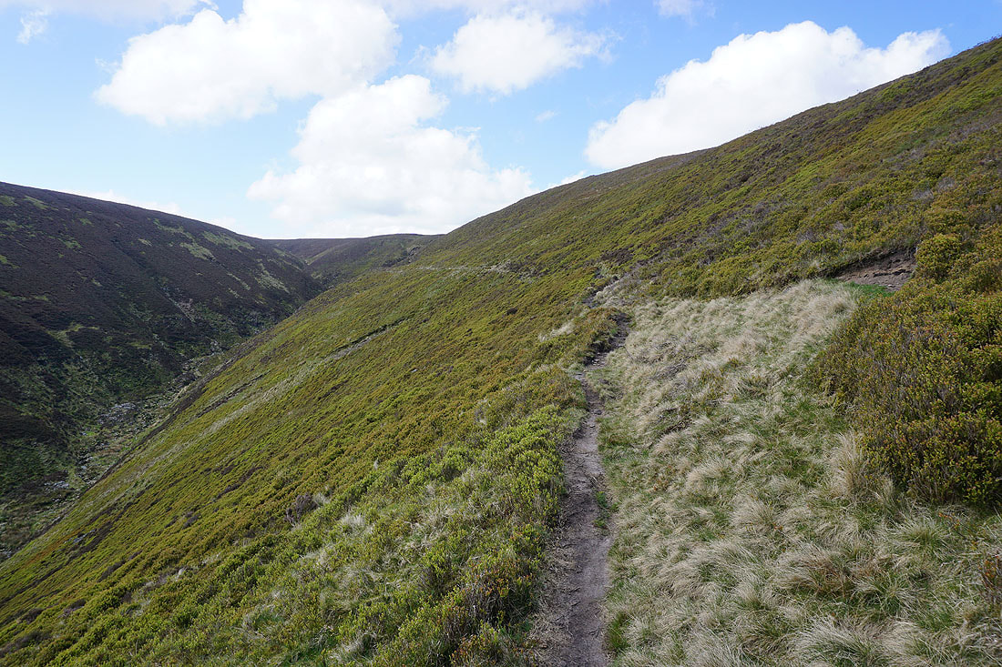
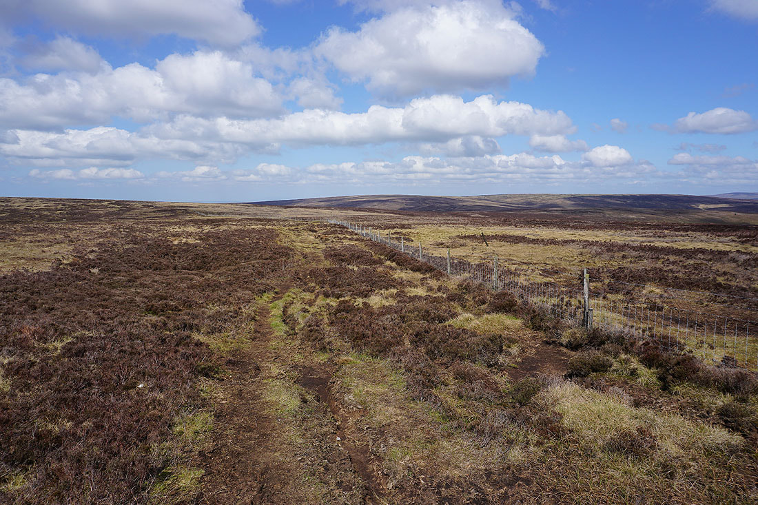
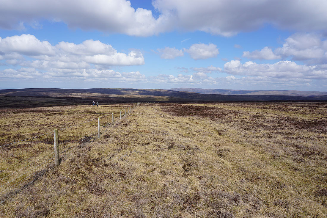
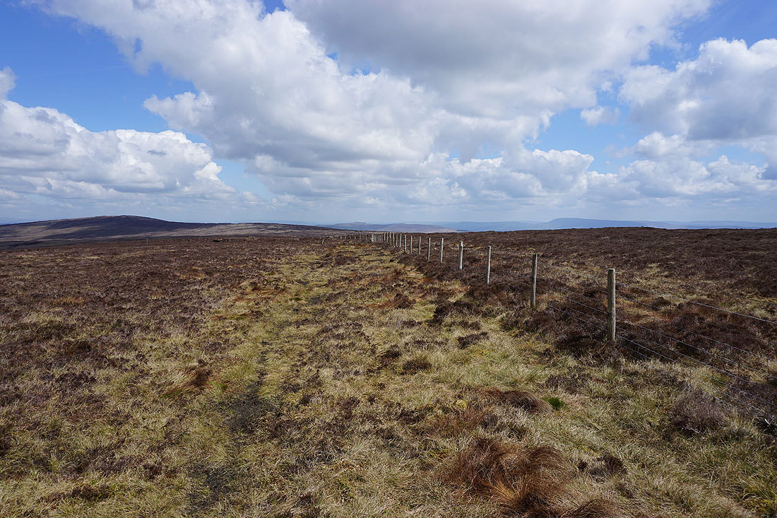
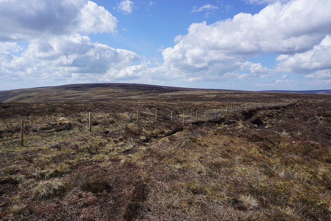
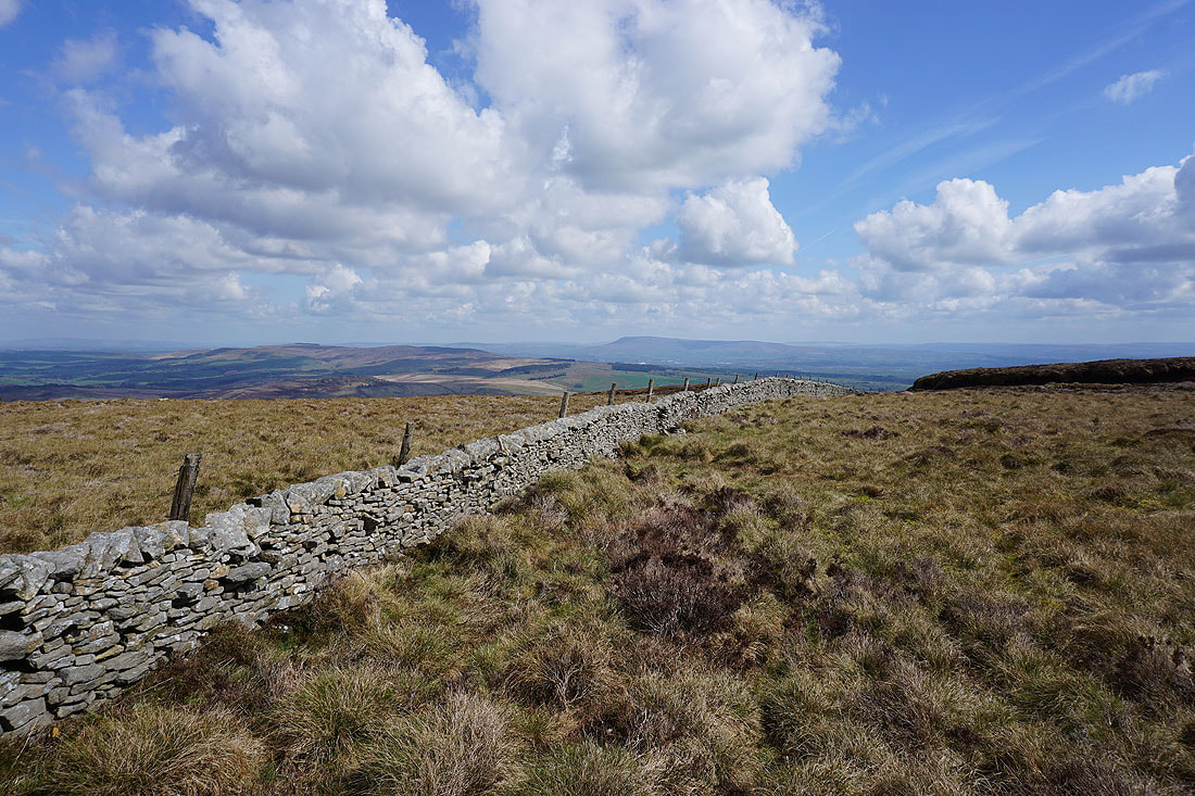
A long walk by this fence will take me to Totridge
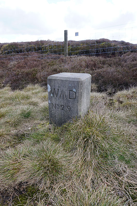
A War Department boundary stone
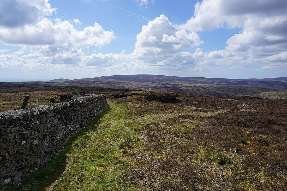
Looking north across Bowland to Ward's Stone, Wolfhole Crag and White Hill
Totridge ahead on the left
Pendle Hill and Longridge Fell
Wolfhole Crag, Whins Brow, White Hill, and Totridge
It's a lovely spring afternoon for taking in the Bowland scenery
Looking back to Fair Snape Fell
Longridge Fell, with the moors around Rossendale, and the West Pennine Moors in the distance
Hawthornthwaite Fell, Grit Fell, Ward's Stone, and Top of Blaze Moss
A wall makes a good foreground for a photo of Easington Fell and Pendle Hill
Looking back to Fair Snape Fell
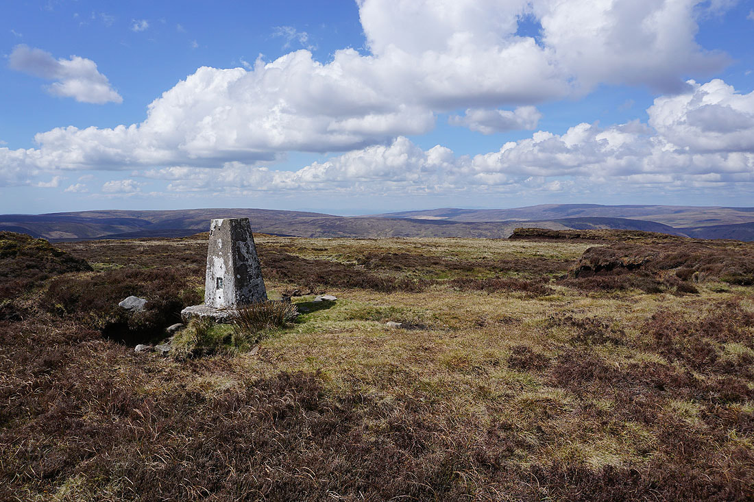
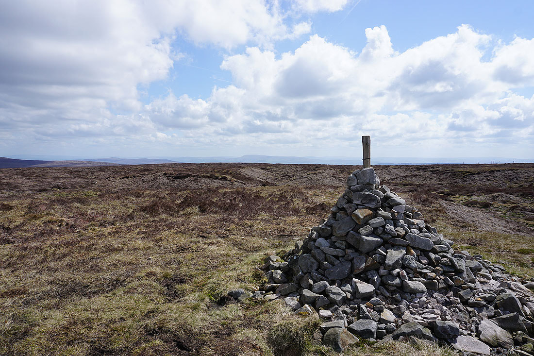
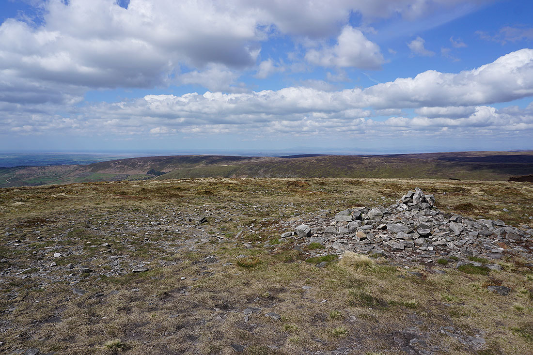
At the trig point on Totridge (it's leaning not me). Hawthornthwaite Fell, Grit Fell, and Ward's Stone to the northwest.
Hodder Bank Fell, Easington Fell, and Pendle Hill
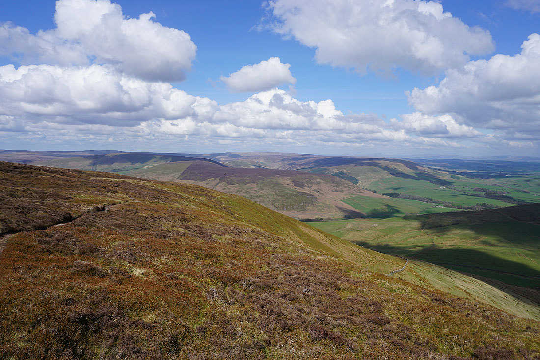
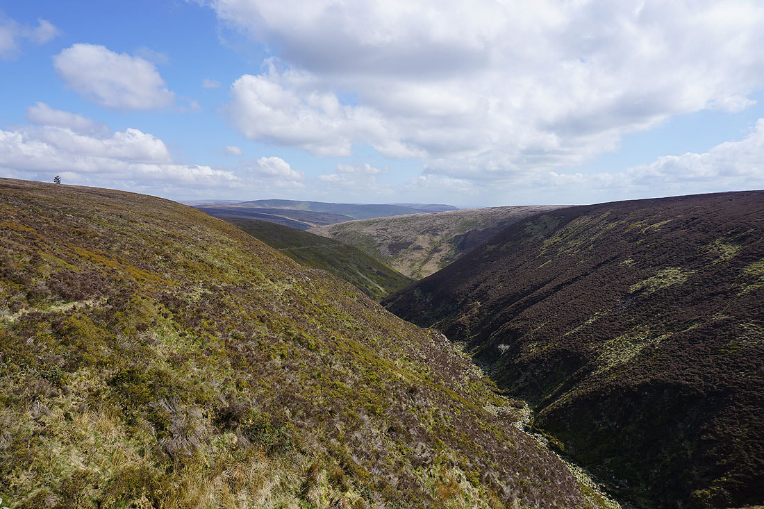
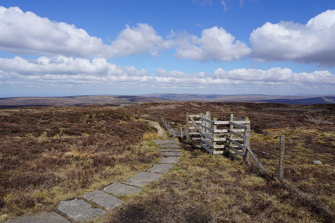
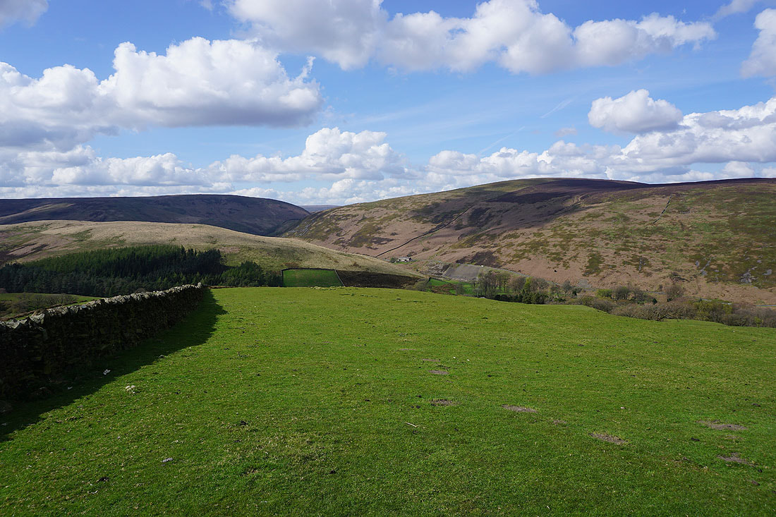
There's a great view from the top of the path down from Totridge. Wolfhole Crag, Whins Brow, White Hill, Baxton Fell, Staple Oak Fell, and Beatrix Fell.
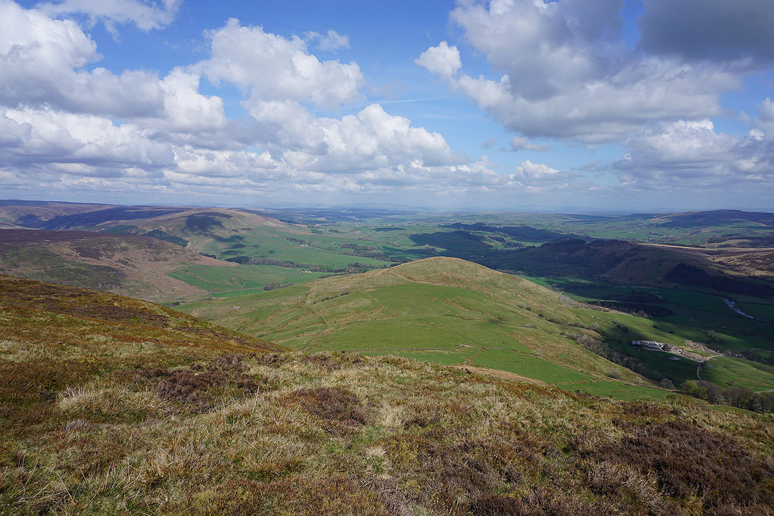
Beatrix Fell, Mellor Knoll, the Hodder valley, and Hodder Bank Fell
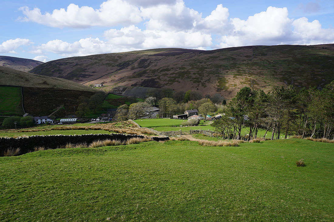
On my way down and I pause to take in the view across the Hodder valley to Hodder Bank Fell and Easington Fell, with Pendle Hill in the distance
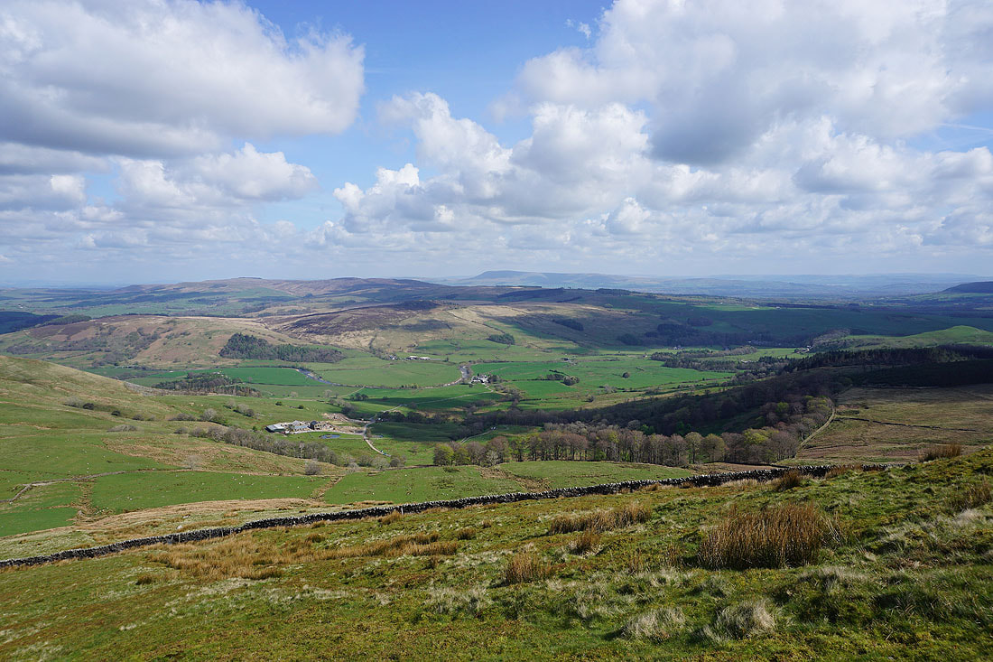
Following the concessionary footpath and then bridleway down to Hareden Farm, surrounded by the fells by the road to the Trough of Bowland...
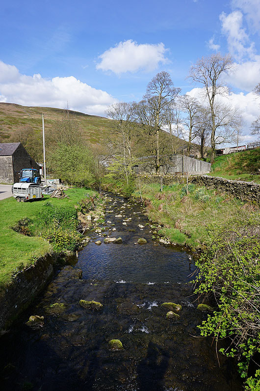
Hareden Brook at Hareden Farm
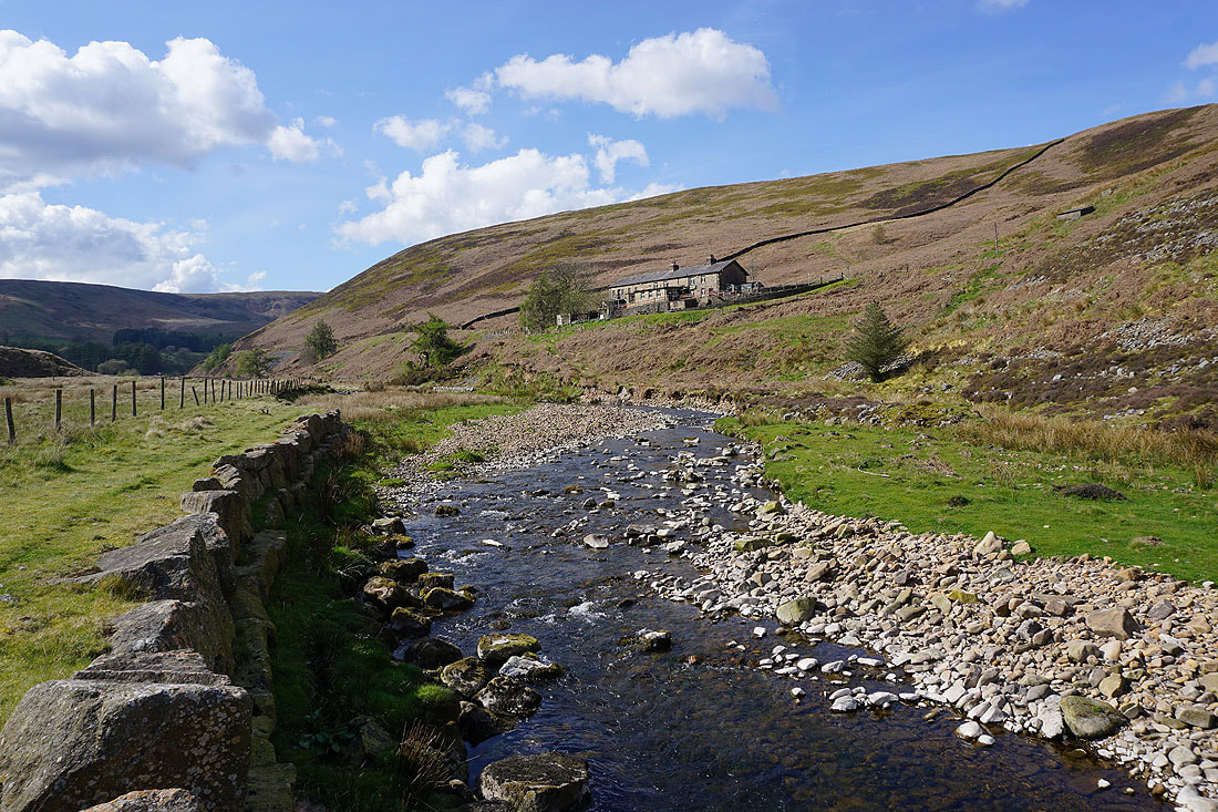
Following the path by Langden Brook back to Langden Intake..