24th August 2008 - Carlingill and The Calf
Walk Details
Distance walked: 8.3 miles
Total ascent: 2593 ft
OS map used: OL19 - Howgill Fells & Upper Eden Valley
Time taken: 6.0 hrs
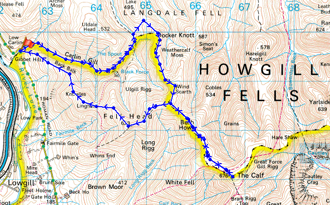
Route description: Carlingill Bridge-Carlin Gill-The Spout-Blakethwaite Bottom-Docker Knott-Over Sale-Bush Howe-The Calf-Bush Howe-Fell Head-Linghaw-Carlingill Bridge
A walk from Carlingill Bridge up Carlin Gill to The Spout and then Blakethwaite Bottom. From there over the tops of Over Sale, Bush Howe and White Fell Head to The Calf. From there I retraced my route over White Fell Head and Bush Howe to the top of Fell Head. From Fell Head I made my descent back to Carlingill Bridge over Linghaw.
Route map
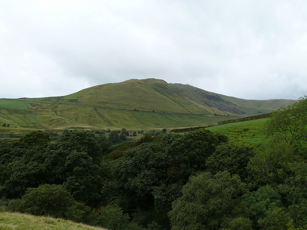
Grayrigg Common on the other side of the Lune gorge
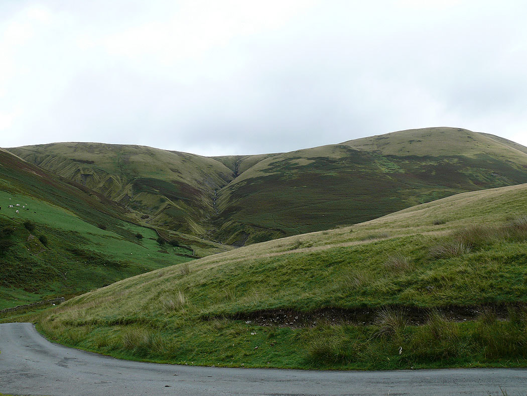
Weasel Gill and the slopes of Uldale Head
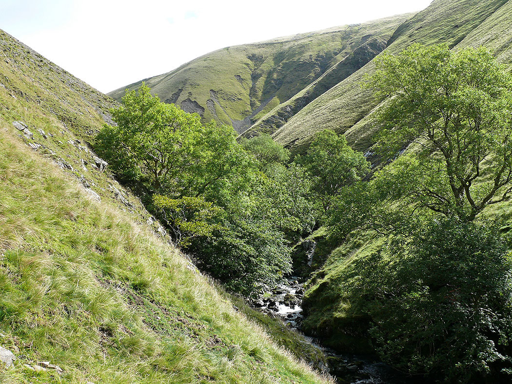
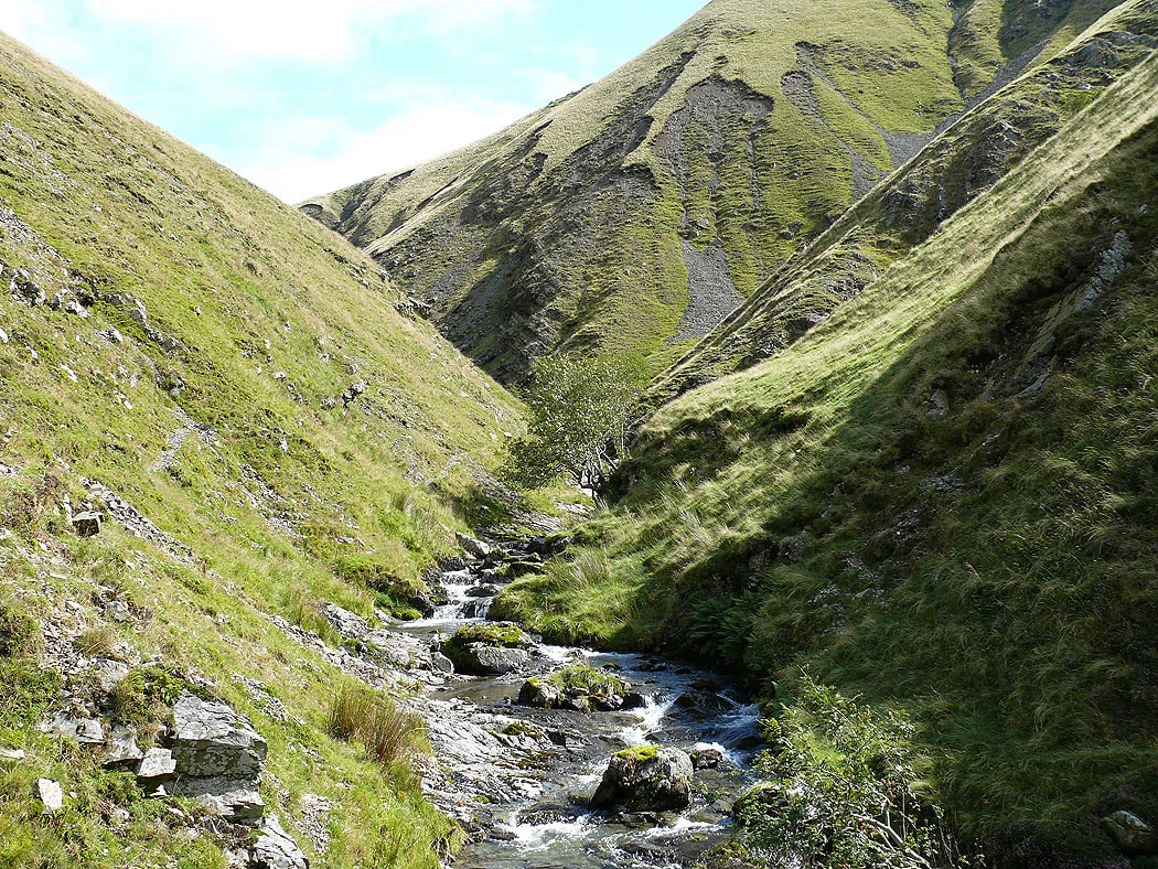
Heading up Carlin Gill
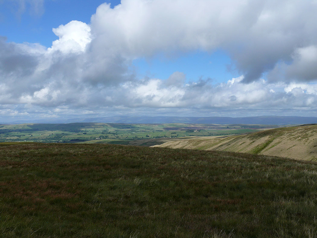
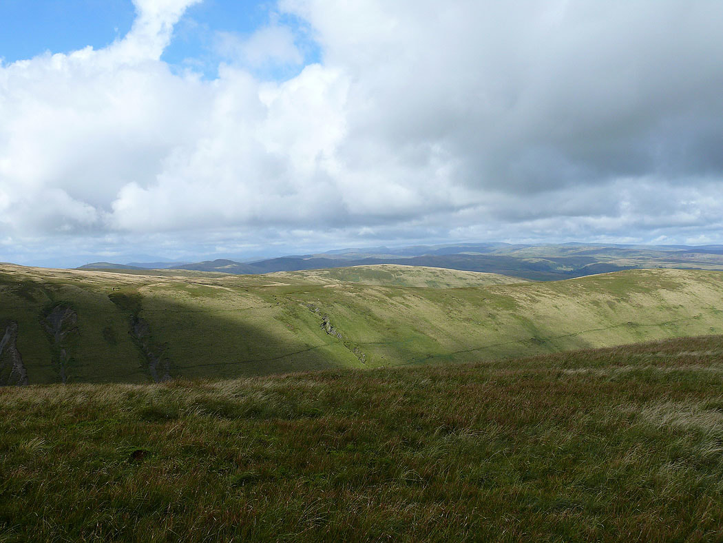
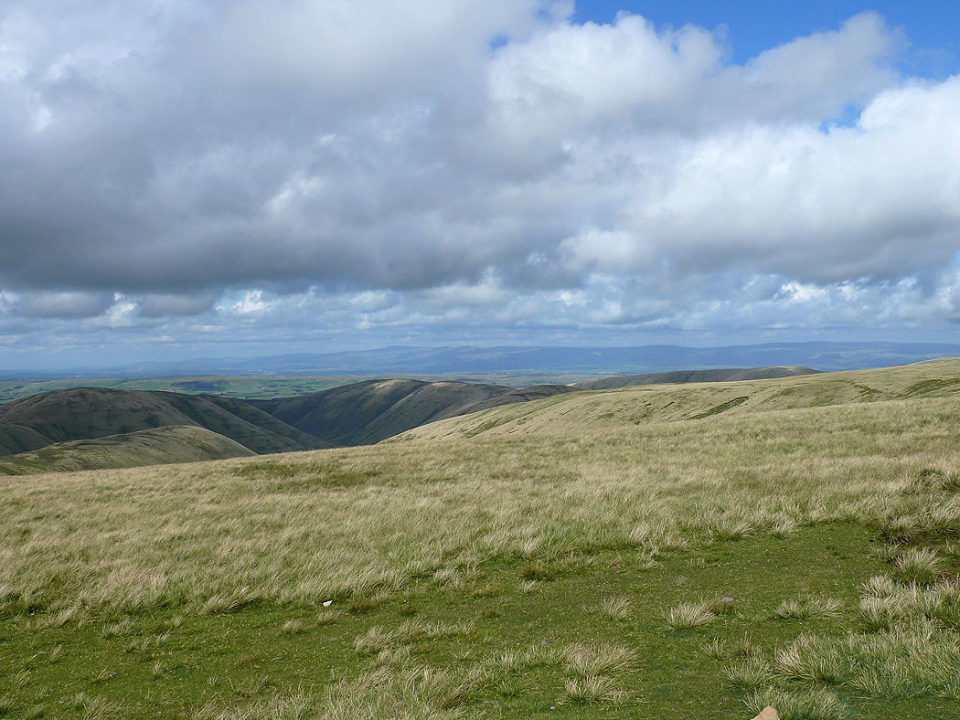
I've made my way up from Blakethwaite Bottom to Docker Knott. The view across to Cross Fell and the North Pennines.
The Lake District fells in the distance
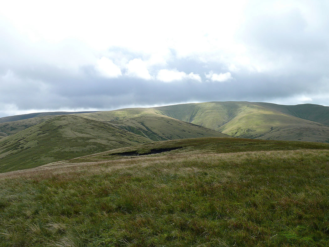
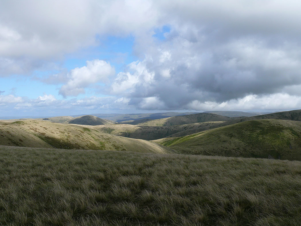
A few ups and downs to come before I reach the high point of The Calf
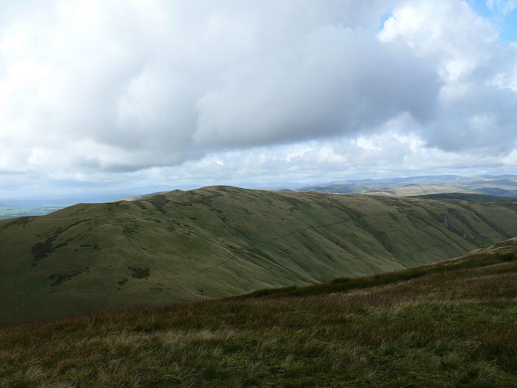
The neighbouring fell of Uldale Head from Over Sale
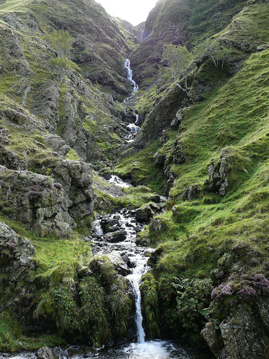
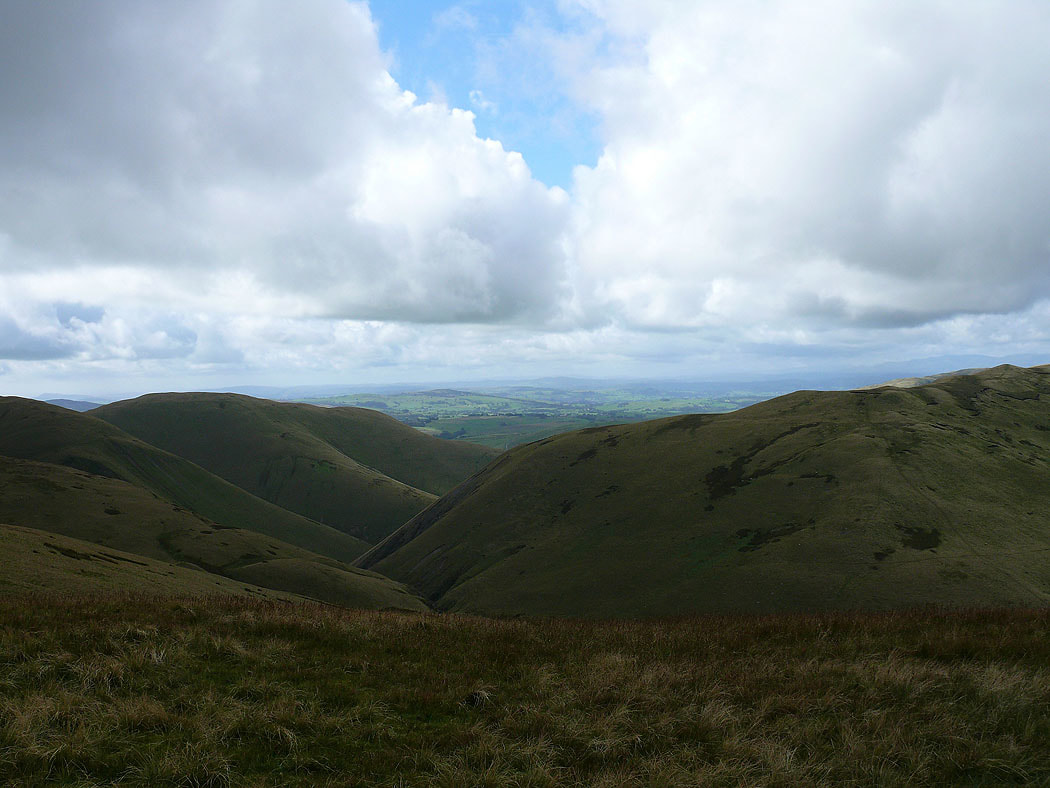
The deep cleft of Carlin Gill below
On The Calf and the view towards Cross Fell and the North Pennines
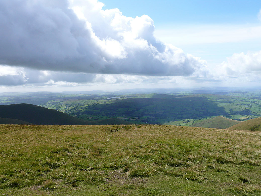
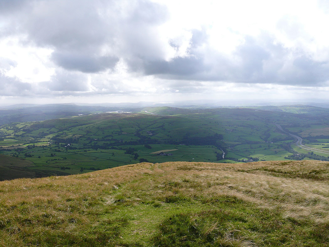
Looking towards Morecambe Bay
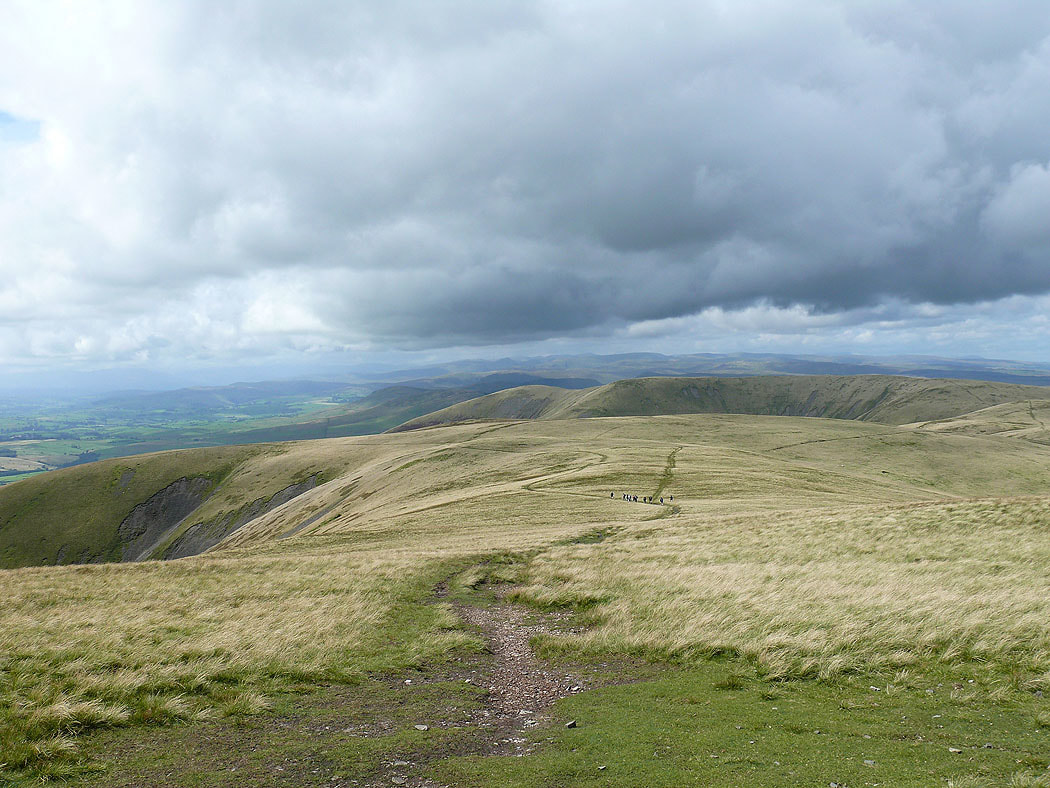
The view across to Fell Head with the Lake District fells beyond
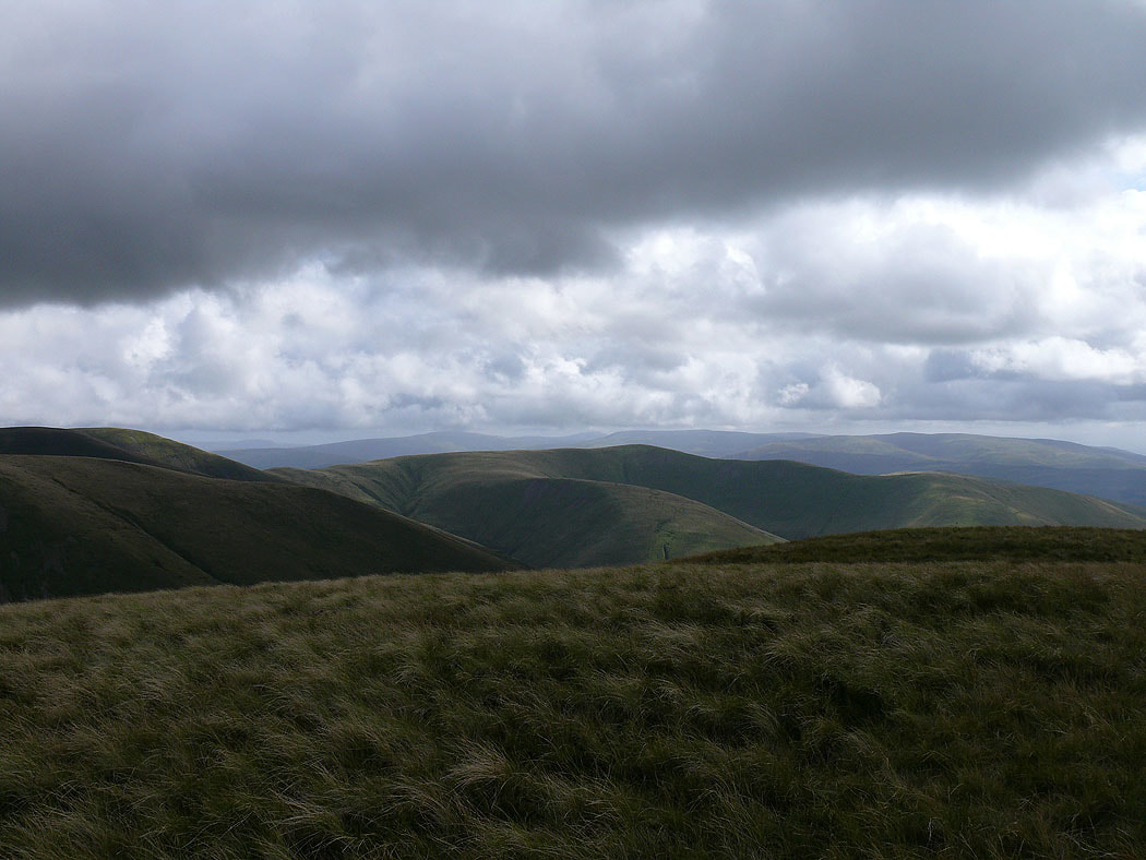
I've made my way across to the final top of Fell Head. The hills of the Yorkshire Dales are in the distant view.
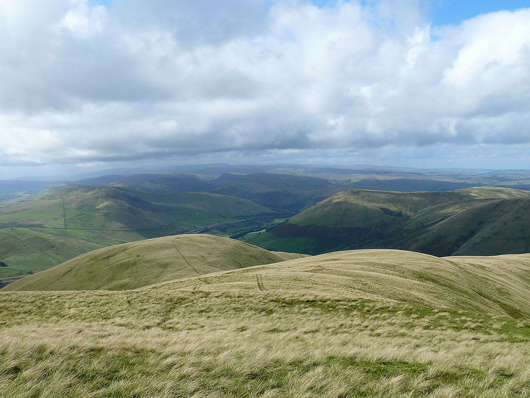
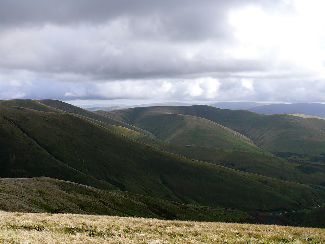
The northern Howgills
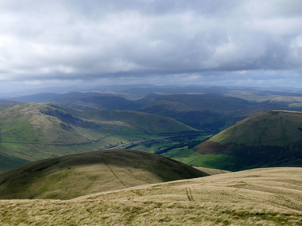
Looking across the Lune gorge to the Shap fells
Morecambe Bay in the distance
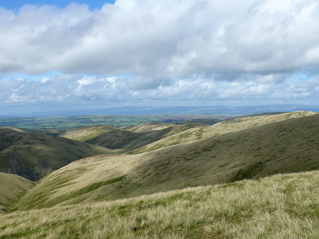
Cross Fell and the North Pennines beyond the northern Howgills and the Eden valley
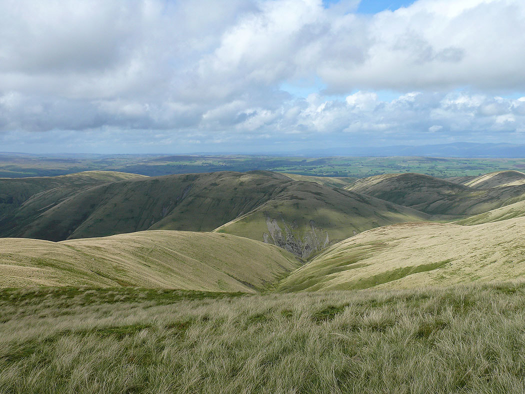
The ridges of White Fell, Bram Rigg and the fell of Arant Haw
My route of descent is down over Linghaw and back to Carlingill Bridge
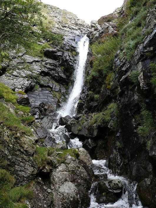
Little Ulgill Beck below heads down to Black Force and Carlin Gill
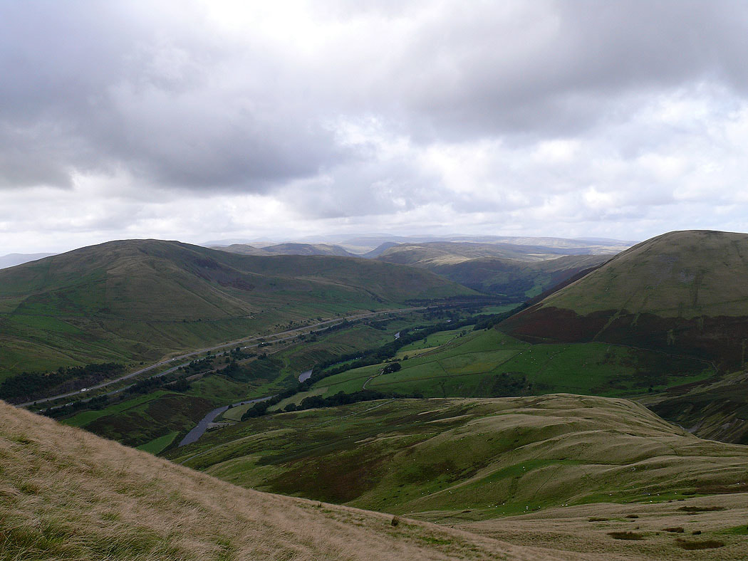
The final part of the descent to Carlingill Bridge
