24th August 2019 - Penhill from West Witton
Walk Details
.Distance walked: 10.5 miles
Total ascent: 1933 ft
OS map used: OL30 - Yorkshire Dales, Northern & Central areas
Time taken: 6.5 hrs
Route description: West Witton-Capplebank Beck-Capple Bank-Capplebank Plantation-Middleham High Moor-Penhill-Height of Hazeley-Whiterow Road-Cote Bridge-West Burton-Cauldron Falls-Morpeth Gate-High Lane-West Witton
When I went to Carlton in Coverdale in the middle of July for my first walk in that dale I arrived in Carlton with a choice of two routes. The one I went for took me to Great Roova Crags on the south side of the dale. I considered this one to be my option for a day of not particularly good weather. The other was to take in Penhill, Height of Hazely and Harland Hill on the north side of the dale. I'd wanted a really nice day with great visibility for this route so that I could fully appreciate the views from these moors. During the intervening weeks I changed my mind about the route, going to starting from West Witton in Wensleydale instead of Carlton, so that I could include visiting Cauldron Falls near West Burton. There's a weekend of fine and warm summer weather forecast with today being the better one with regards to visibility, and this proved to be the case as I enjoyed a great day on the fells with fantastic views from Penhill.
After parking in the layby on the A684 just to the east of West Witton I walked towards the village and took the first public footpath on the left that I reached, which is next to a postbox. I then followed this east across Capplebank Beck and up onto the pastures of Capple Bank before taking a path up Capple Bank and through Capplebank Plantation to the road on Middleham High Moor. I crossed the road and took the path opposite onto Middleham High Moor, then made my way west to reach a gate onto the road down Witton Steeps. After a short walk up the road I reached a bridleway on the right which I took and followed west up onto Penhill. I then made my way west by the wall along the northern edge of Penhill to Penhill Scar, then to Black Scar, where I stopped for lunch. Up till now I'd been on the northern side of the wall, here I crossed to the southern side and carried on following the path west and then round to the south until I reached the wall that runs west to east across the top of Height of Hazely. I crossed the stile then followed the wall up onto the top of Height of Hazely, where I followed the fence south towards Harland Hill. Between Height of Hazely and Harland Hill I reached the bridleway between Coverdale and Waldendale. I turned right and followed it down into Waldendale to Whiterow Road. I then walked north along Whiterow Road to Cote Bridge where I took a path across fields before crossing a footbridge over Walden Beck back up to Whiterow Road, which I walked down into West Burton. After enjoying an ice-cream from the village shop I left West Burton by taking the path to Cauldron Falls, then after crossing the bridge over Walden Beck, from there I followed the path north up the hillside to the byway of Morpeth Gate. I then followed this track northeast then east across the hillside beneath Penhill (it becomes High Lane), until I reached the last public footpath before the track reaches the road at Witton Steeps. This path took me down into West Witton, where I was left with walking east back to the layby where I was parked.
Route map
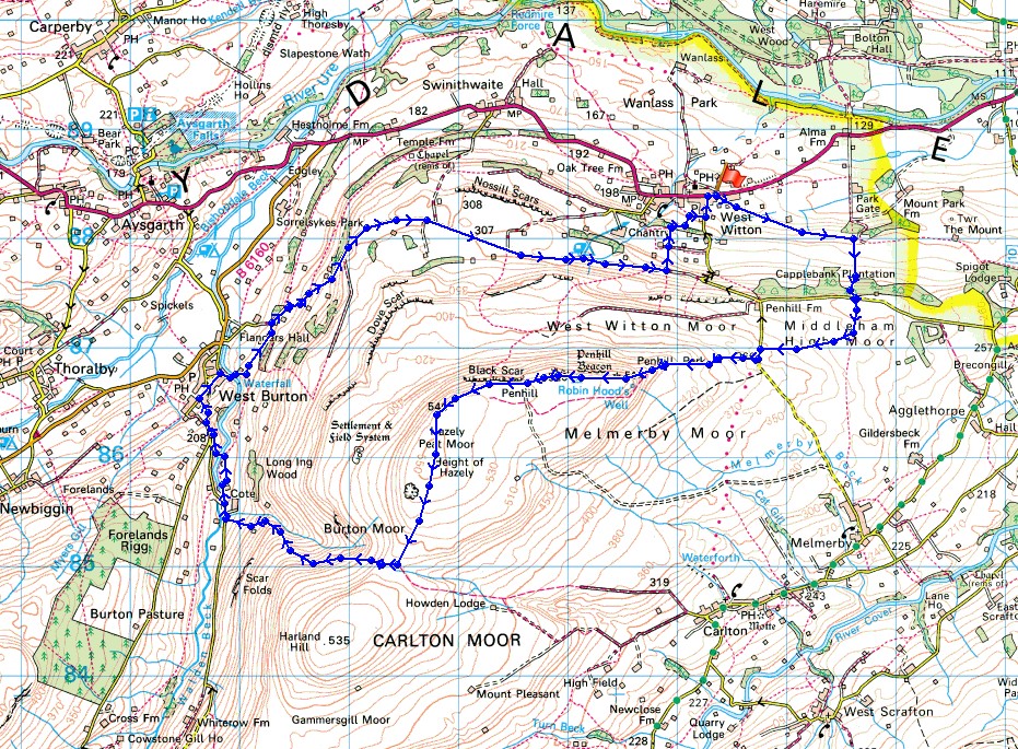
© Crown copyright. All rights reserved. License number PU 100034184.
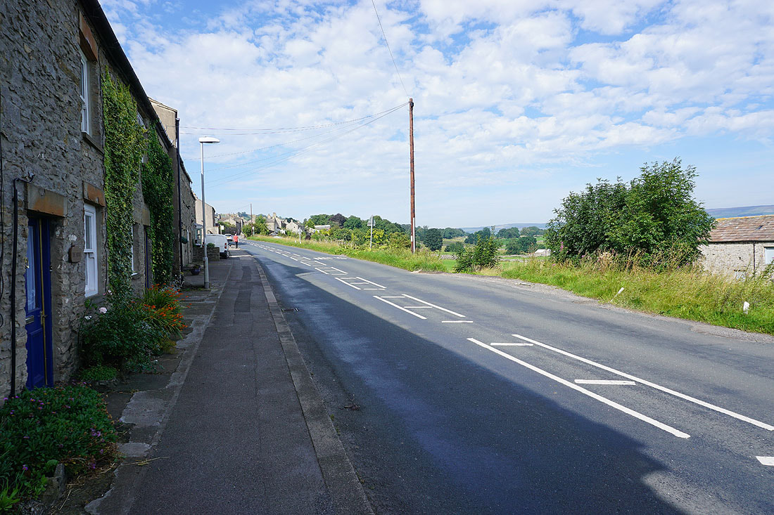
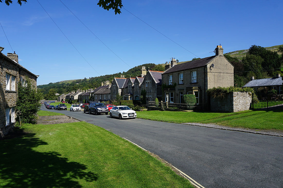
It's beautiful morning In West Witton
Looking across Wensleydale towards Castle Bolton and Redmire
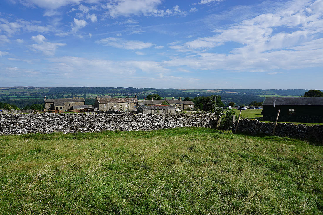
Preston-under-Scar on the distant hillside on the other side of the dale as I leave West Witton
Penhill Scar above
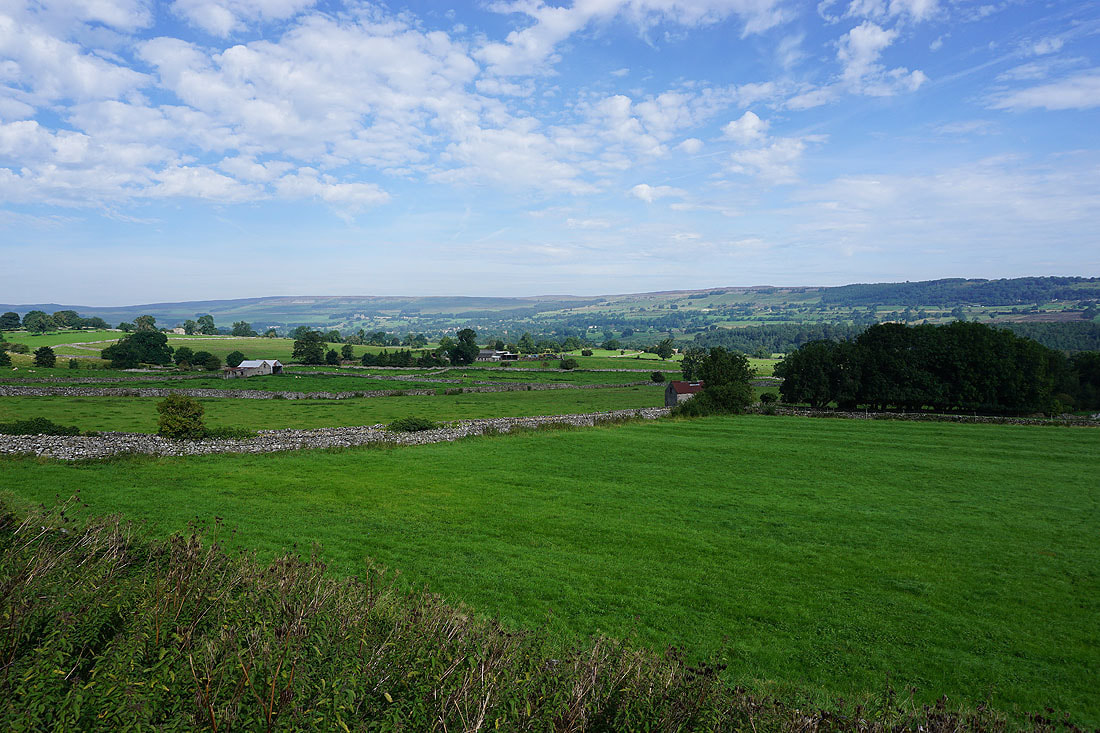
Great looking skies above Wensleydale as I follow the field path east to Capple Bank....
Looking down Wensleydale towards Leyburn as I head up into the shade of Capplebank Plantation
Views to the north across Wensleydale..
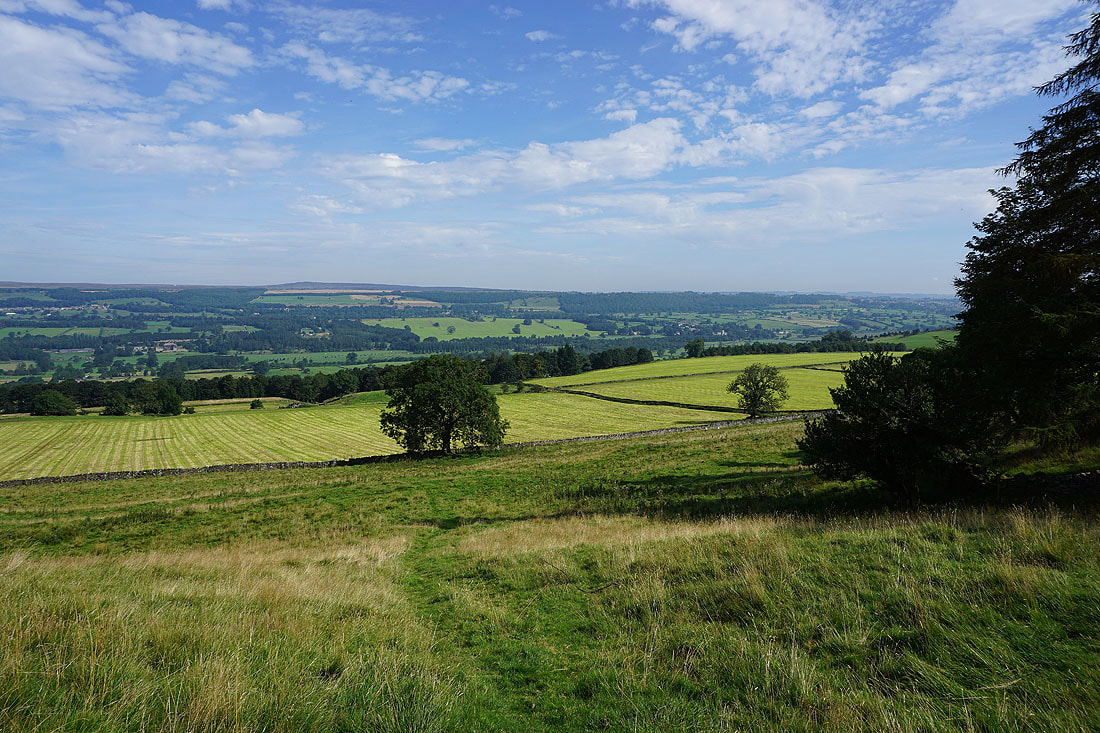
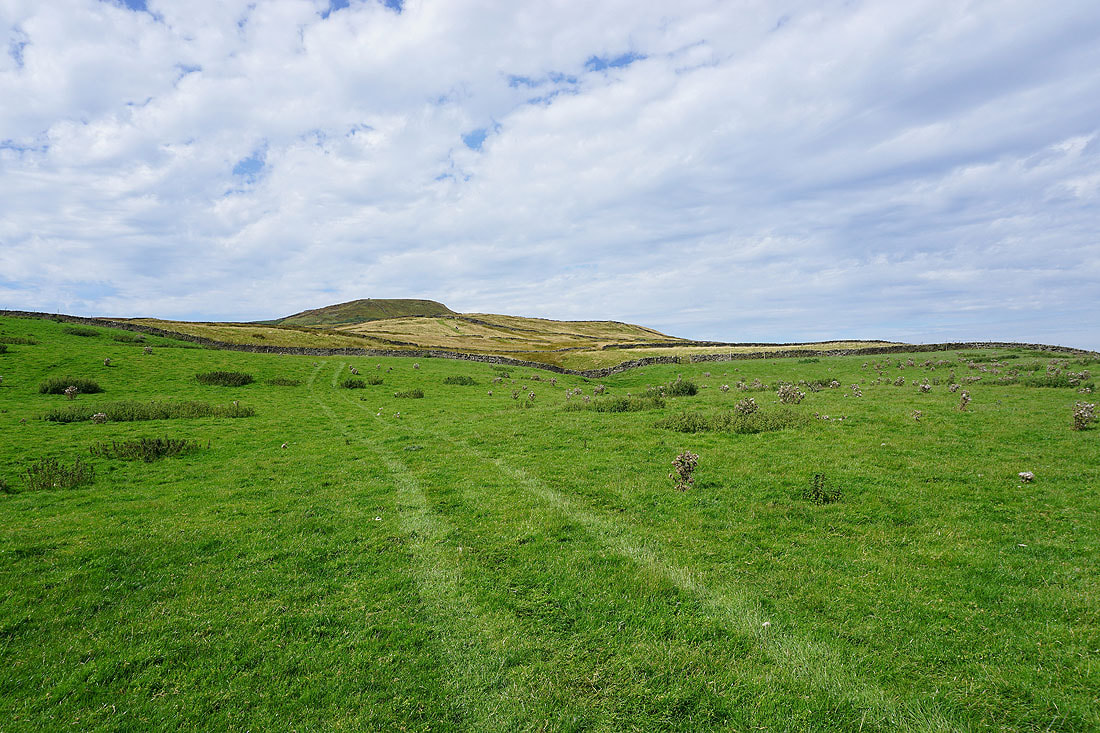
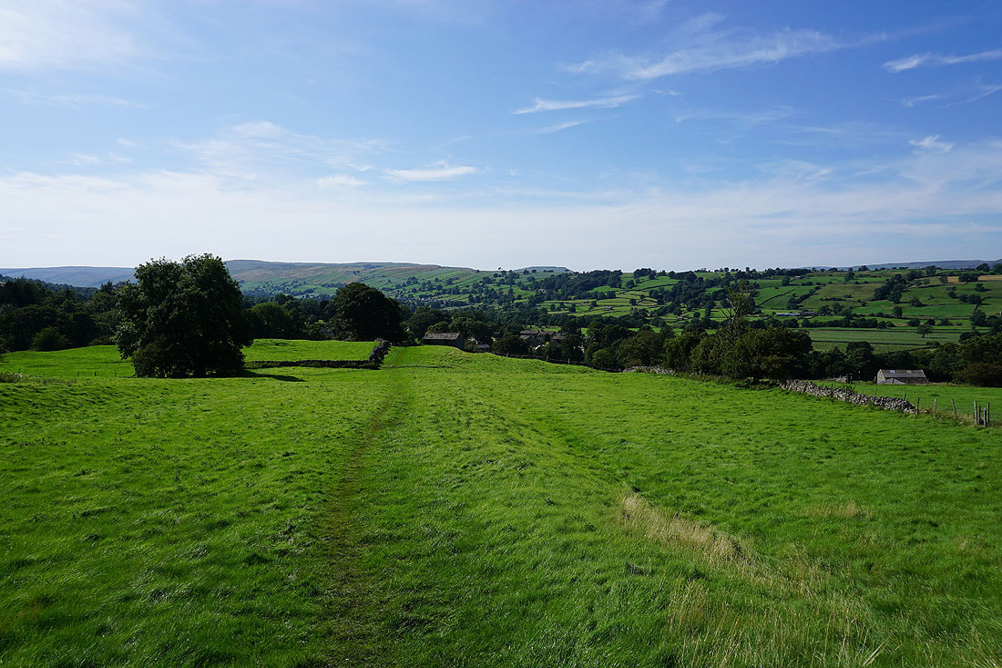
Penhill from the gallops on Middleham High Moor
No horses around at the moment
Big skies on Middleham High Moor
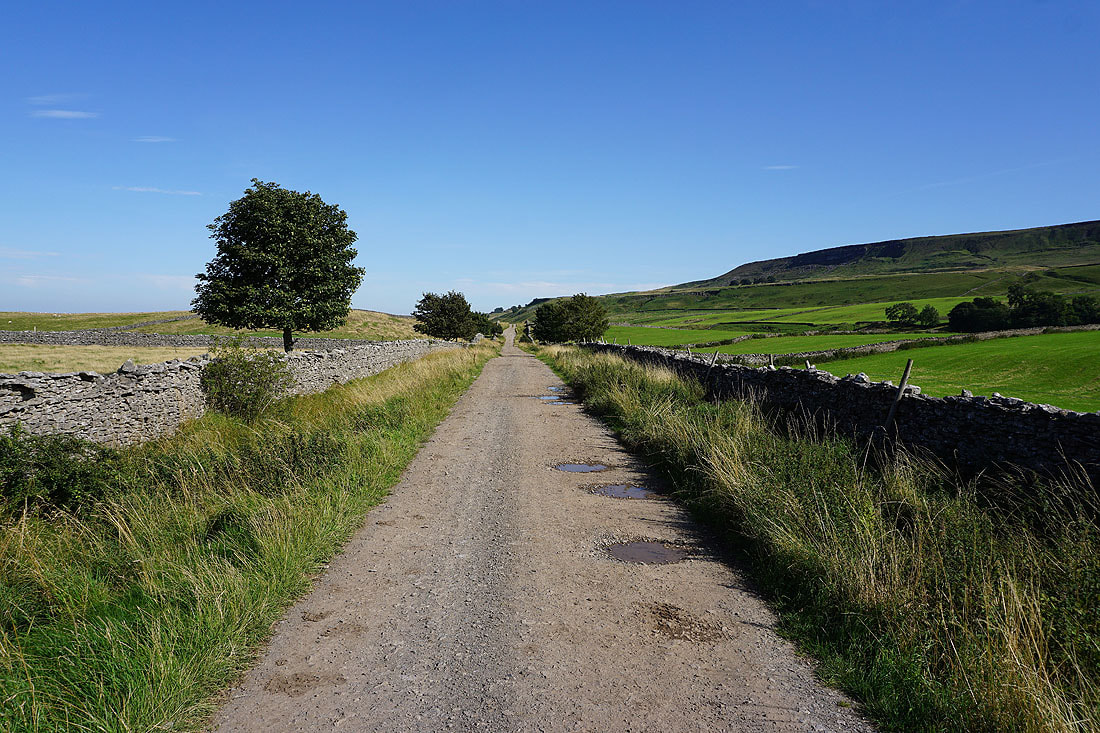
On the bridleway up Penhill
The changing colours of the moors as the end of summer approaches..
The purple of the heather on Melmerby Moor below
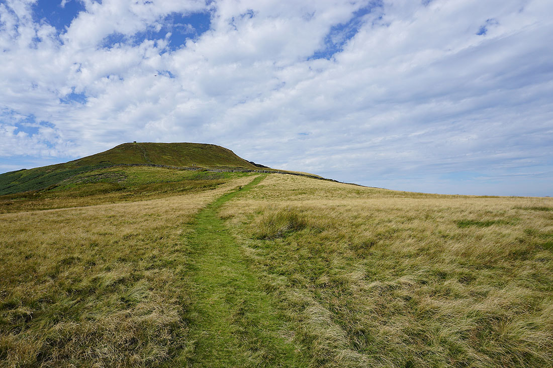
The final climb up onto Penhill to come
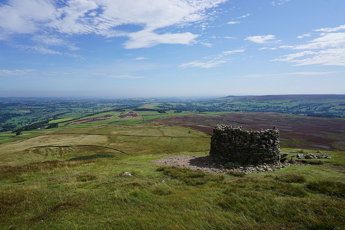
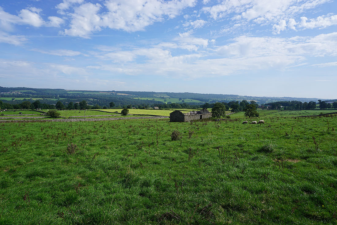
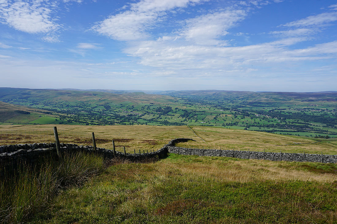
At the shelter cairn at the eastern end of Penhill. Middleham High Moor and Middleham Low Moor separate Wensleydale on the left from Coverdale on the right.
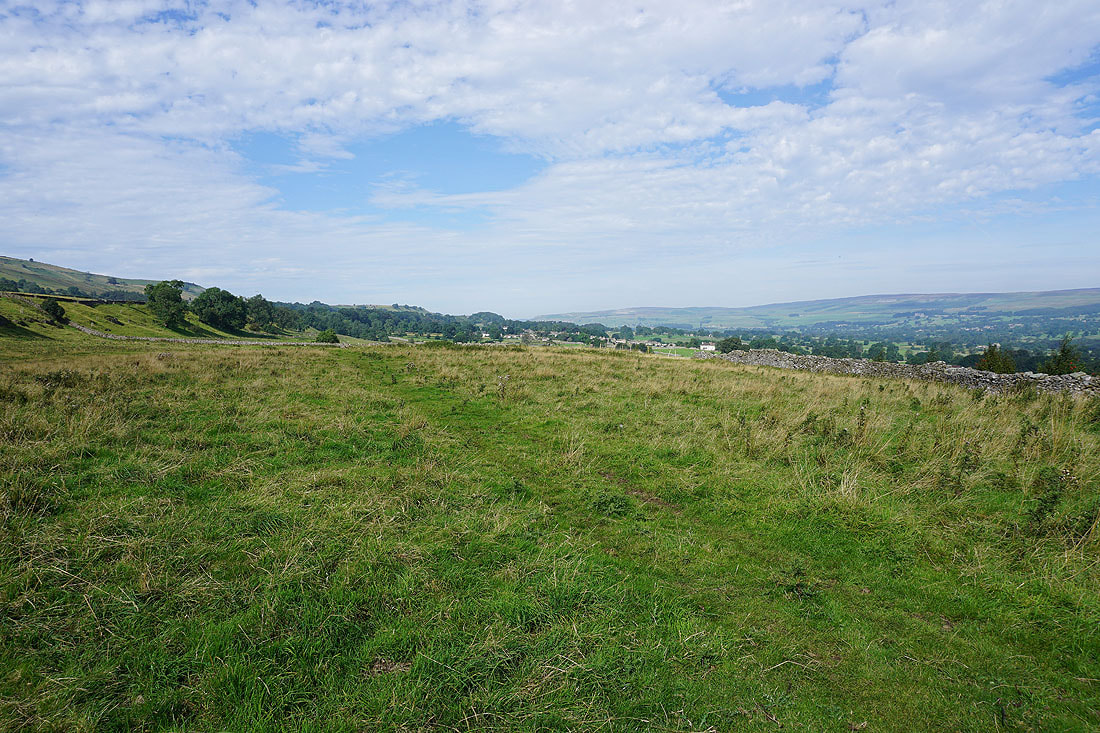
Looking down Wensleydale from the northern edge of the hill with West Witton on the left
This mound marks the site of Penhill Beacon
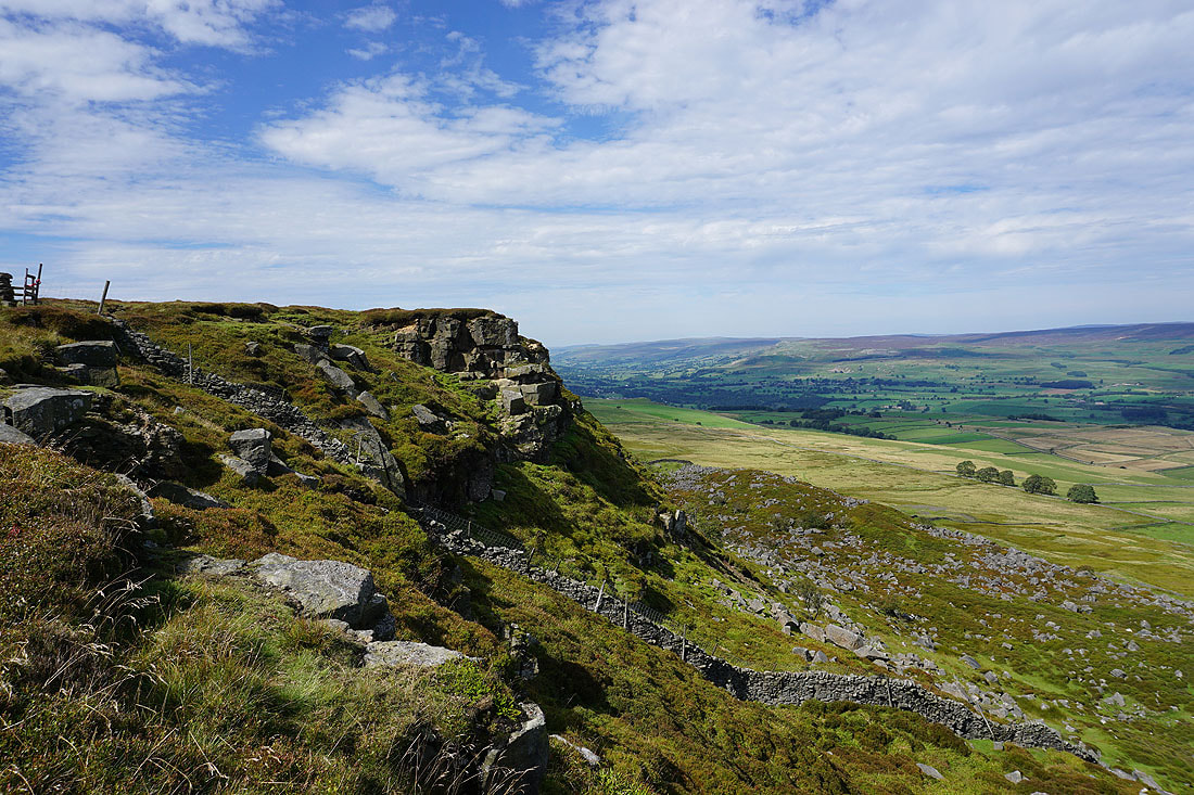
Onto the crags of Penhill Scar
West Witton below with Redmire Moor and Bellerby Moor on the other side of Wensleydale
At the trig point on Penhill
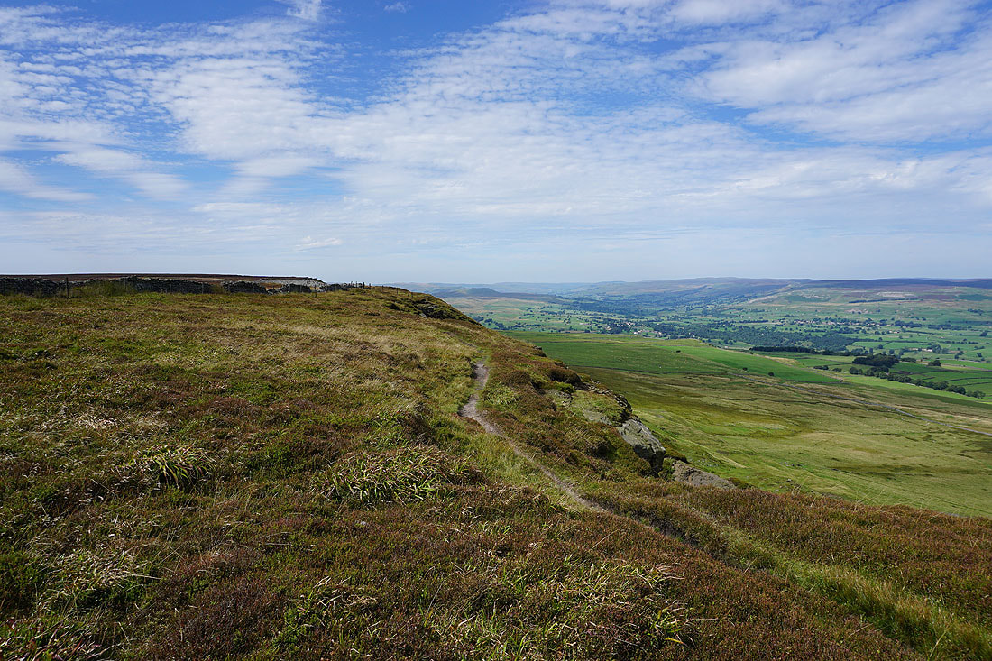
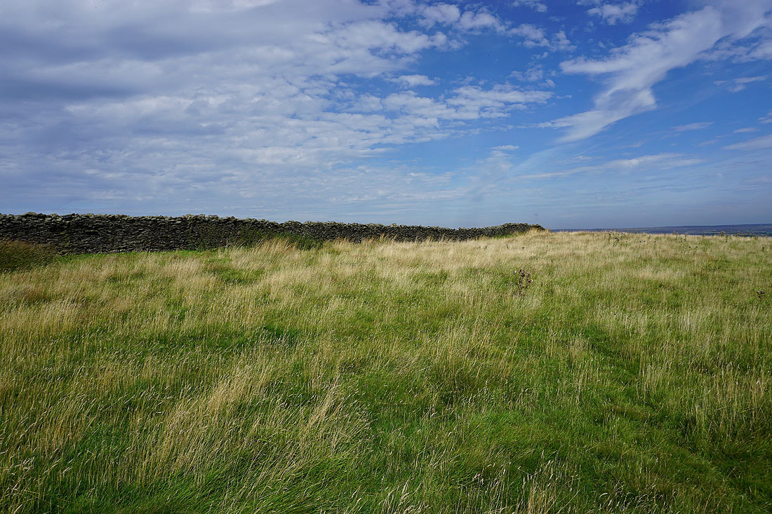
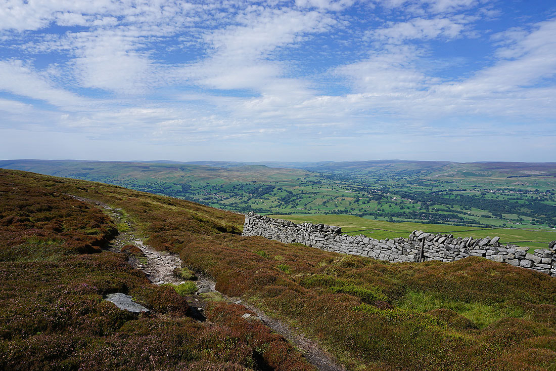
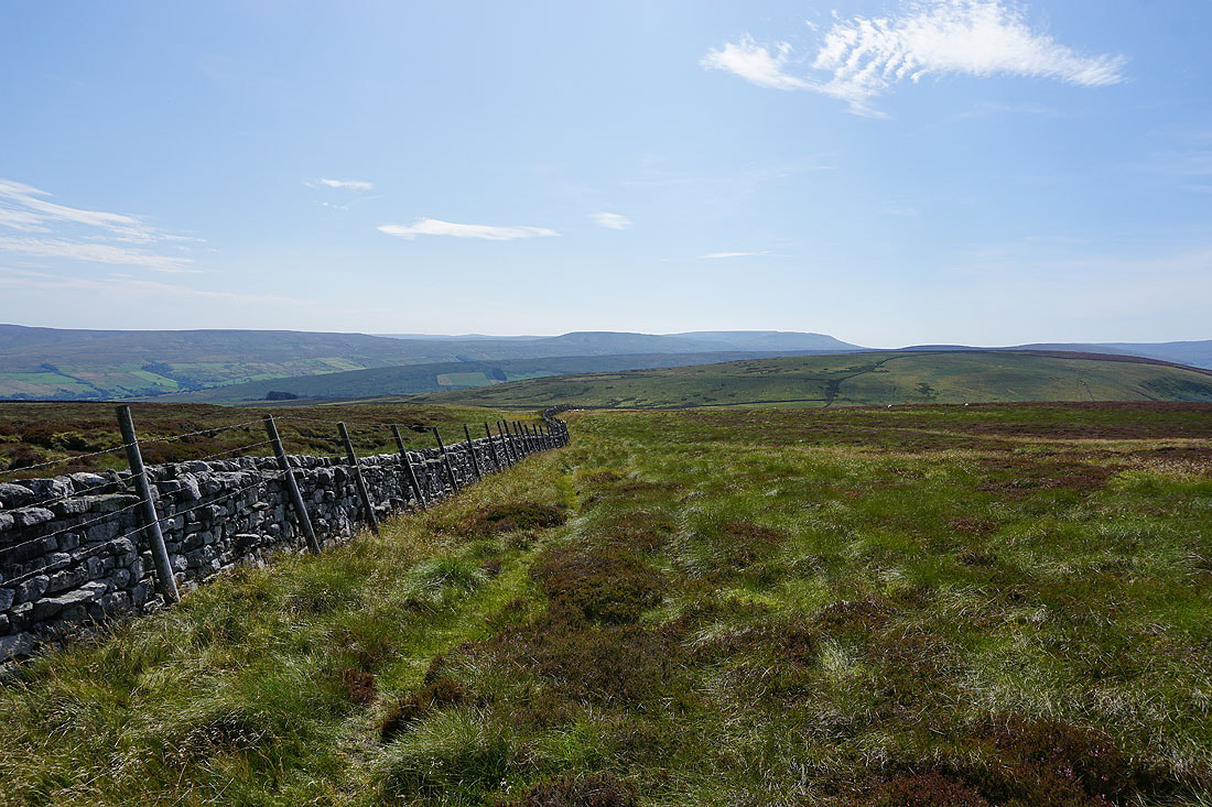
Making my way west along the edge of Penhill to Black Scar
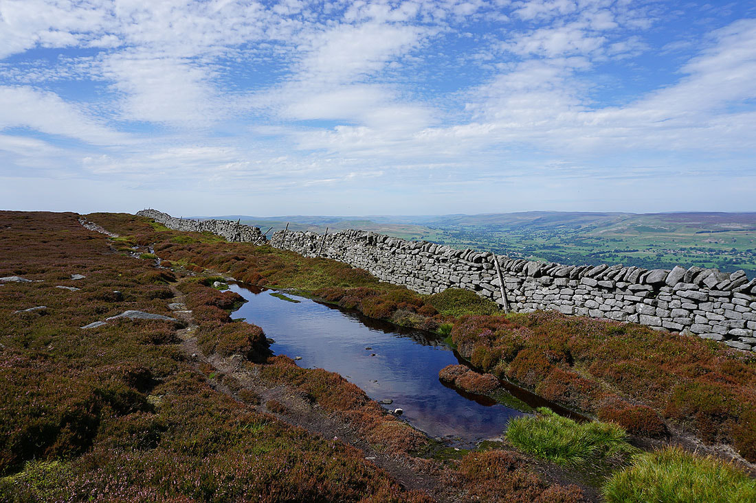
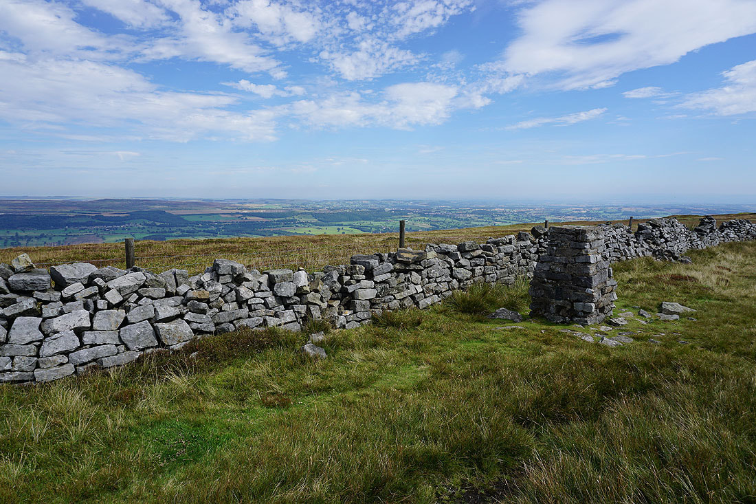
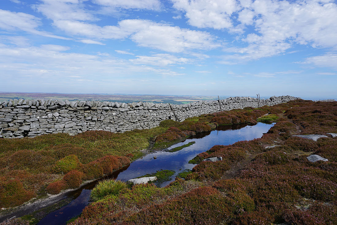
At Black Scar I had to cross to the southern side of the wall that runs along the northern edge of Penhill. This pool with the sky reflected in it proves to be a photo opportunity that I couldn't ignore..
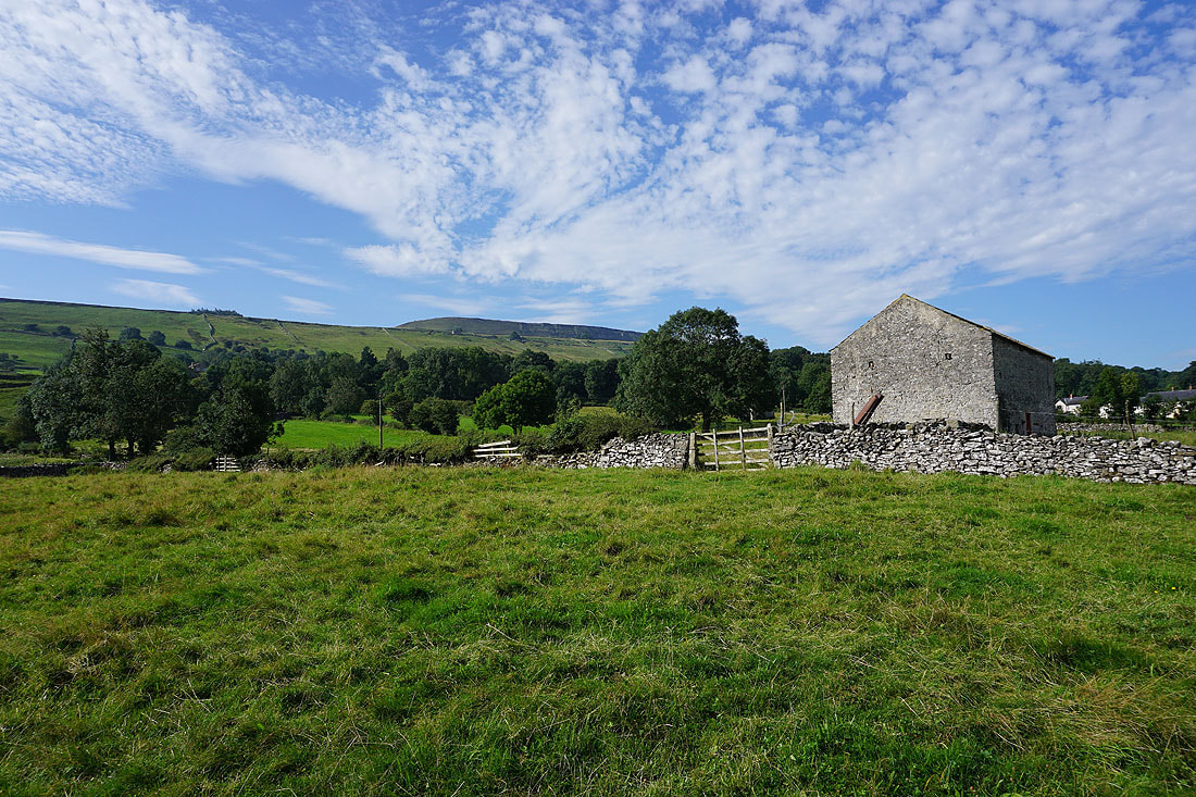
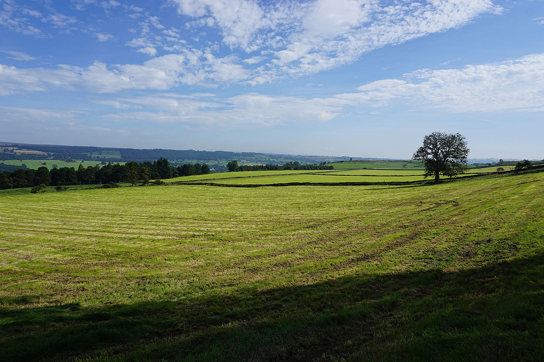
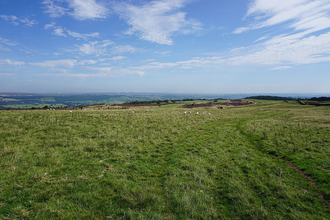
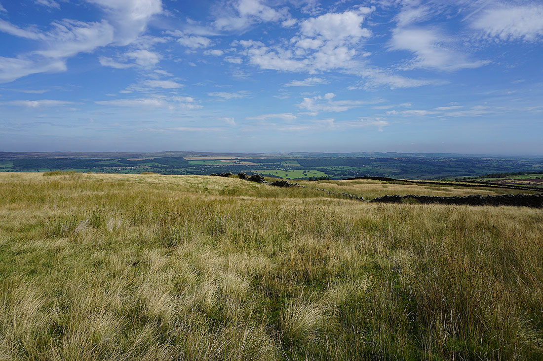
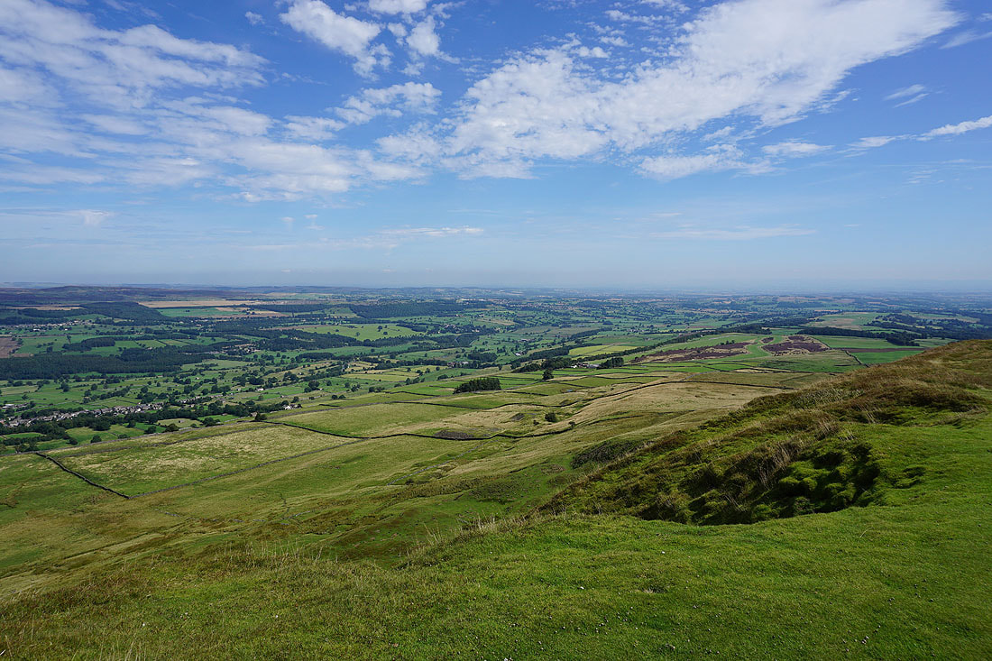
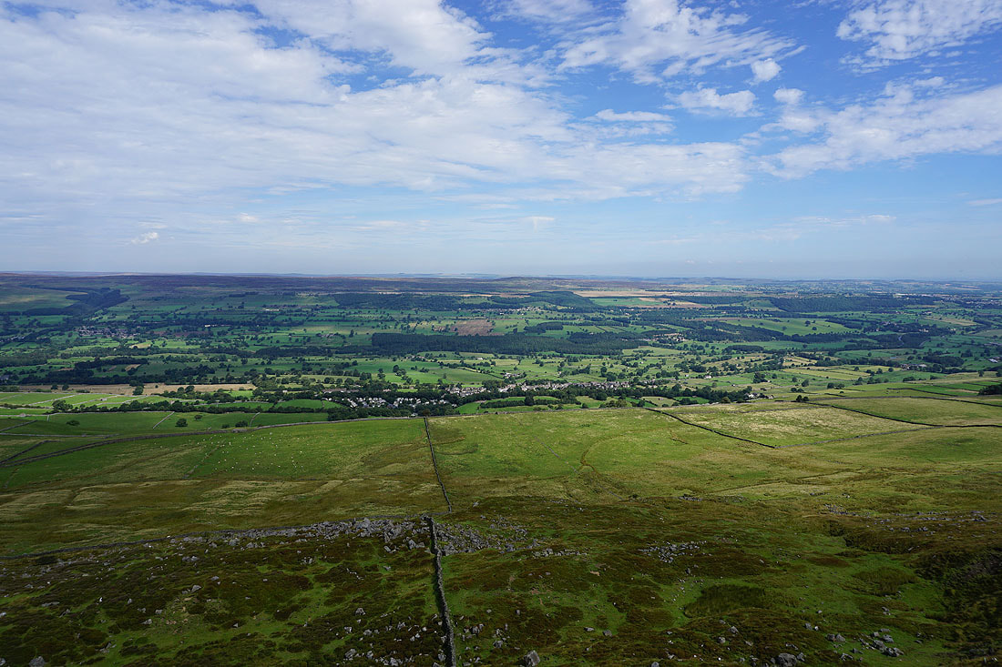
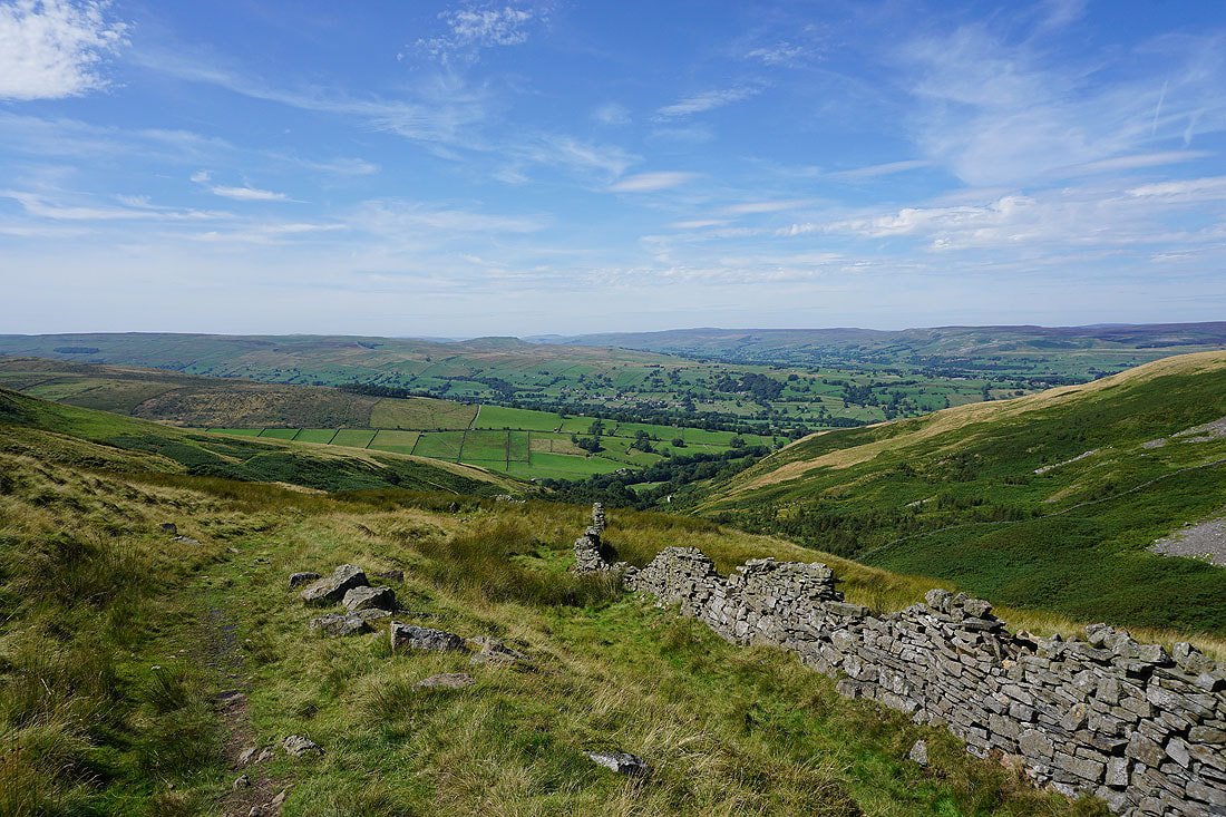
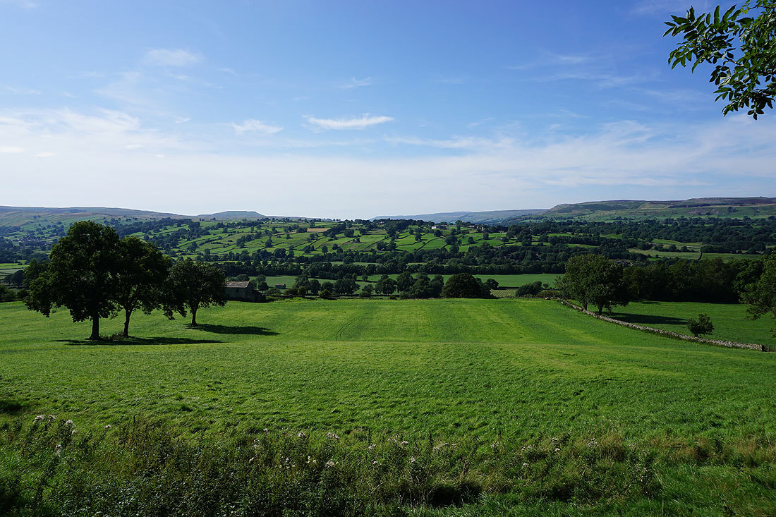
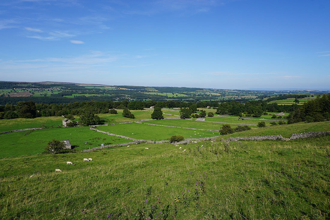
As the path curves round to the southwest onto Height of Hazely the view opens out to the west with Stake Fell, Addlebrough and Aysgarth Moor separating Bishopdale on the left from Wensleydale on the right
A bit further on and I can see Buckden Pike at the head of Waldendale, a side valley of Bishopdale

That view to the west across Bishopdale and Wensleydale is fantastic, and the great looking skies just add to the scene..
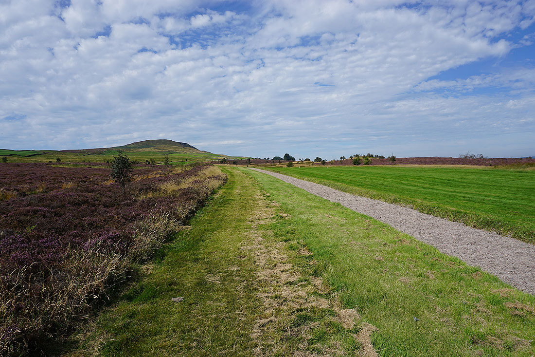
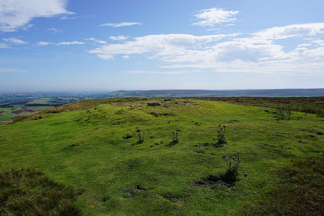
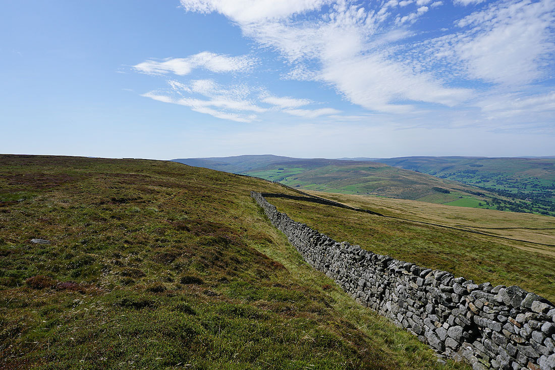
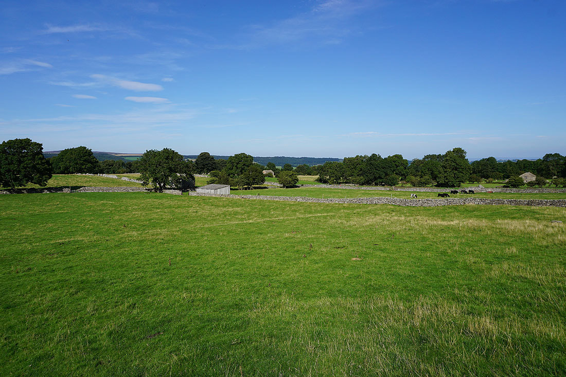
Heading from Height of Hazely towards Harland Hill. The valley of Coverdale is to the left with Great Whernside in the distance.
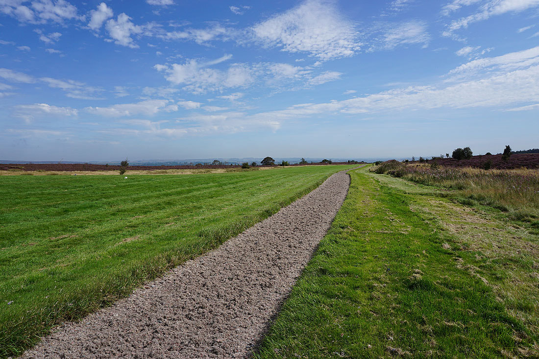
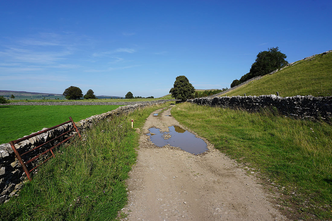
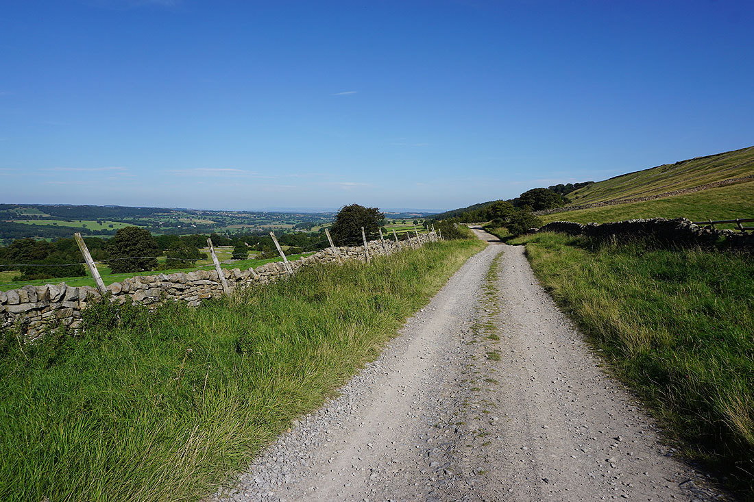
On the bridleway down into Waldendale with views across the moors around Bishopdale and Wensleydale
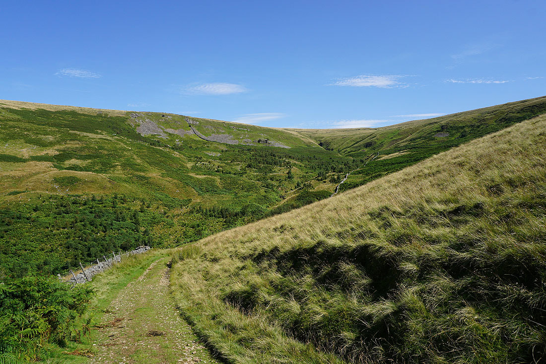
The bridleway heads down into Thupton Gill..
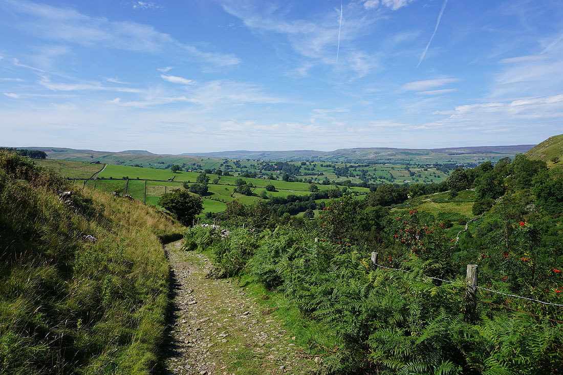
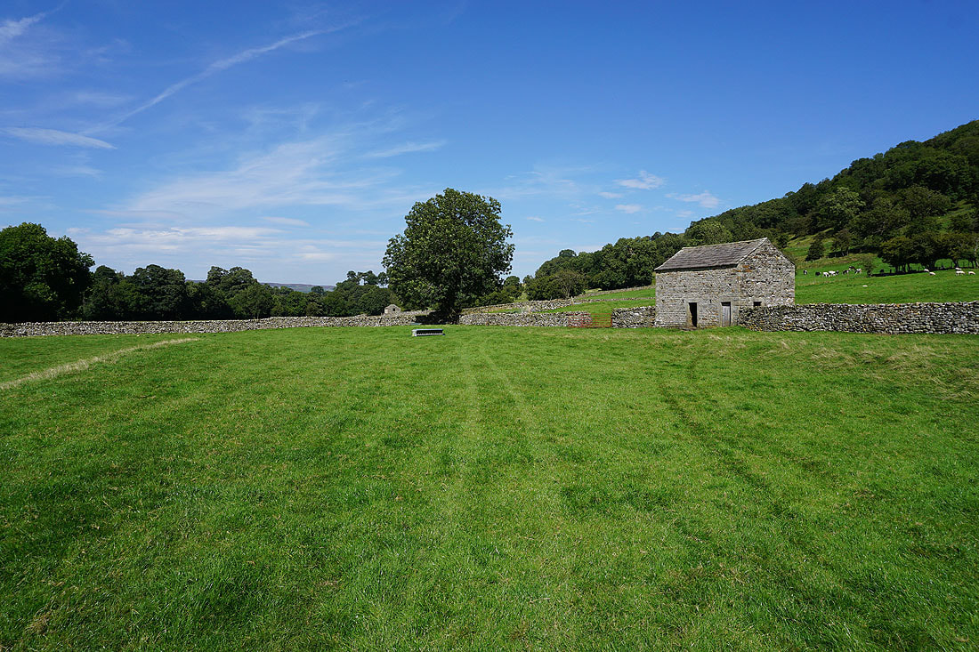
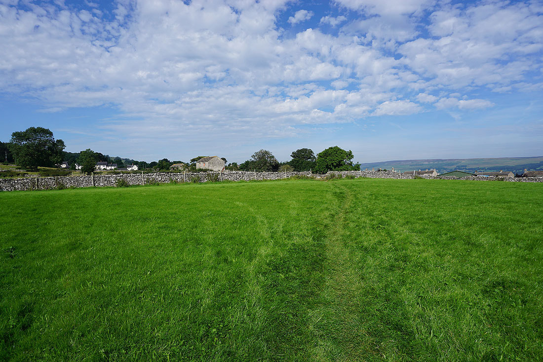
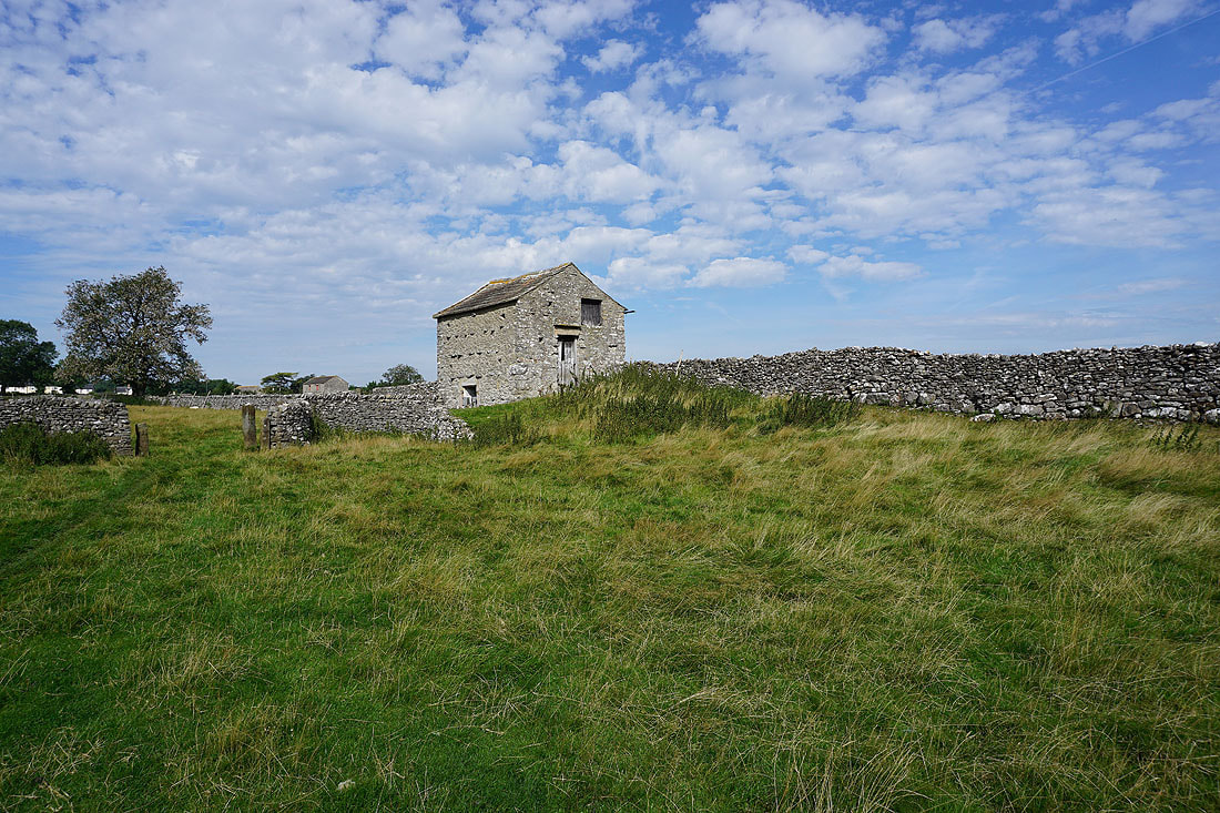
On field paths to West Burton..
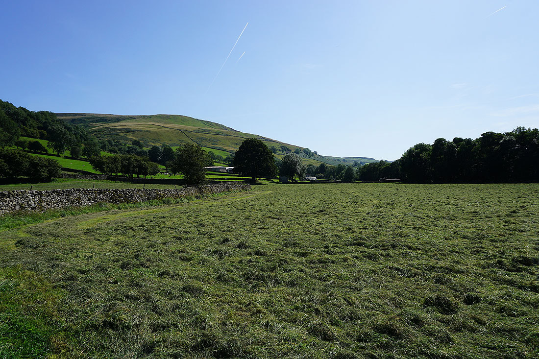
..including going through a freshly cut meadow
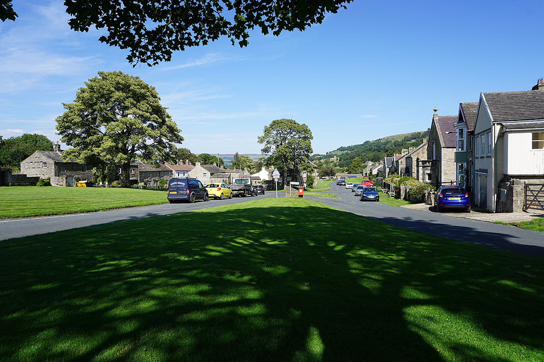
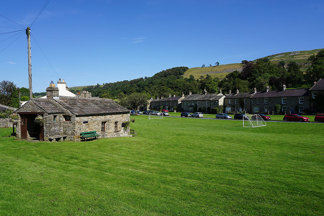
A bench by a tree provides a welcome bit of shade as I arrive in West Burton
A couple more photos of West Burton as I visit the village general store for an ice-cream..
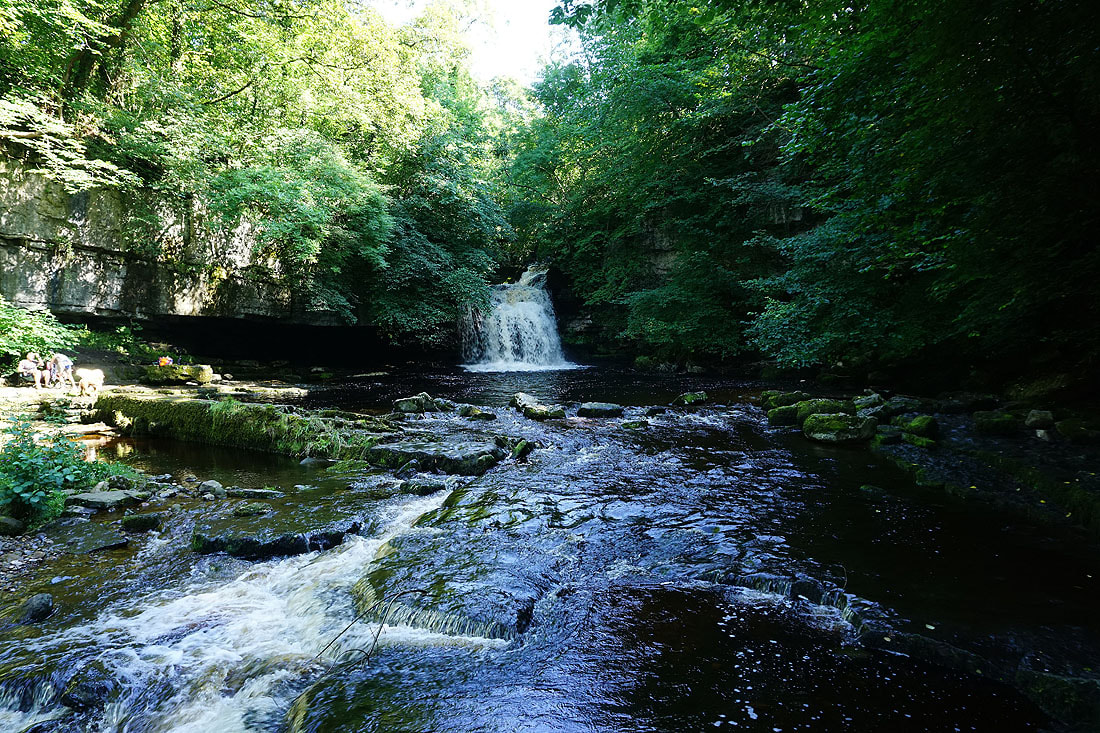
Cauldron Falls on Walden Beck as I leave West Burton
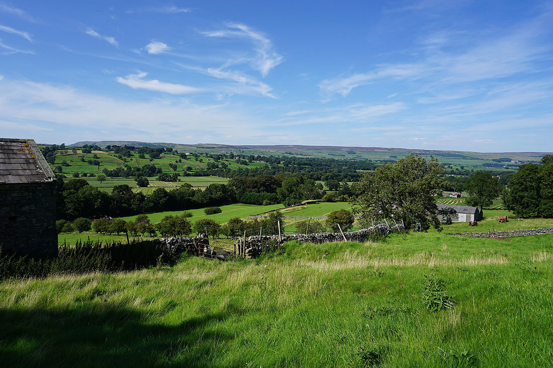
Views across Bishopdale as I follow the path from Cauldron Falls up to the byway of Morpeth Gate...
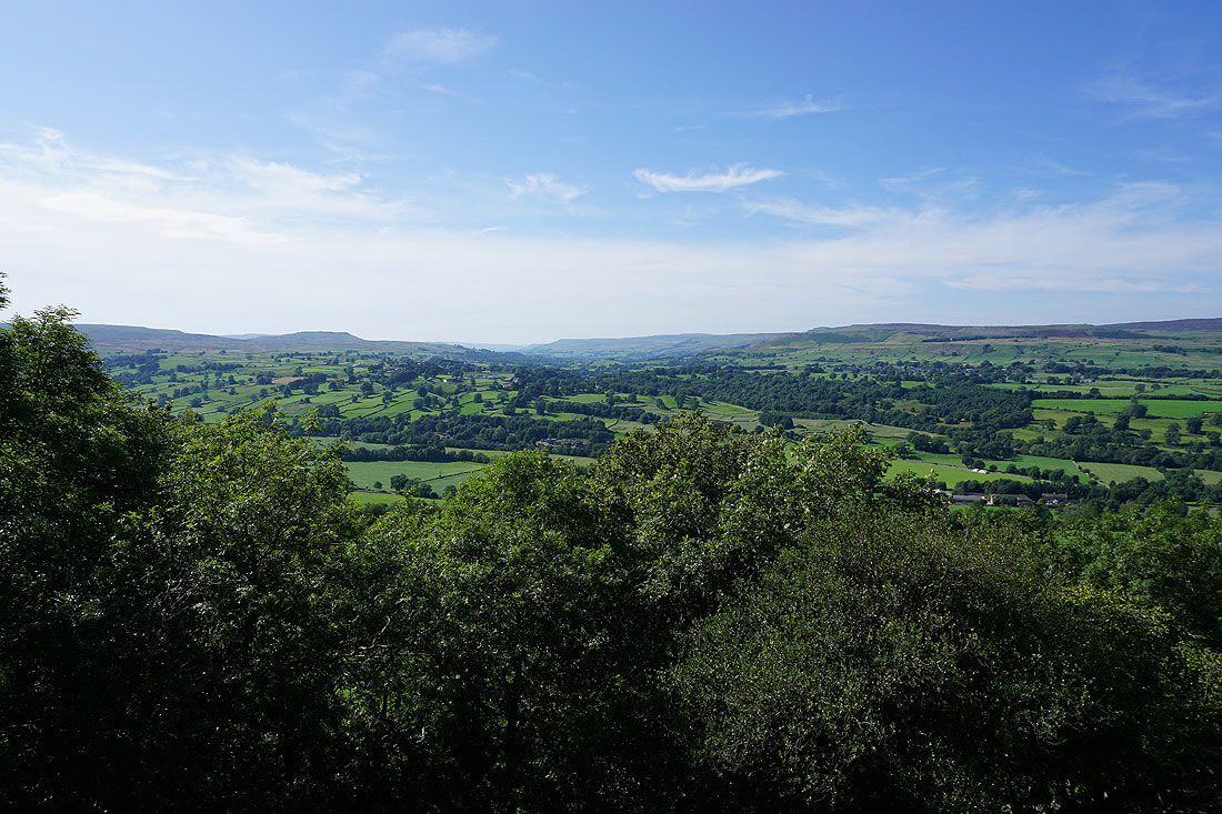
Higher up and I can look up Wensleydale with Addlebrough on the left and Ivy Scar on the right
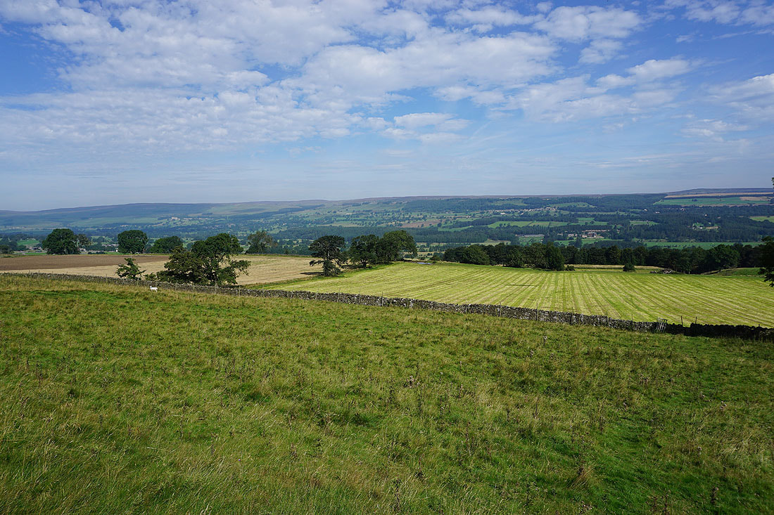
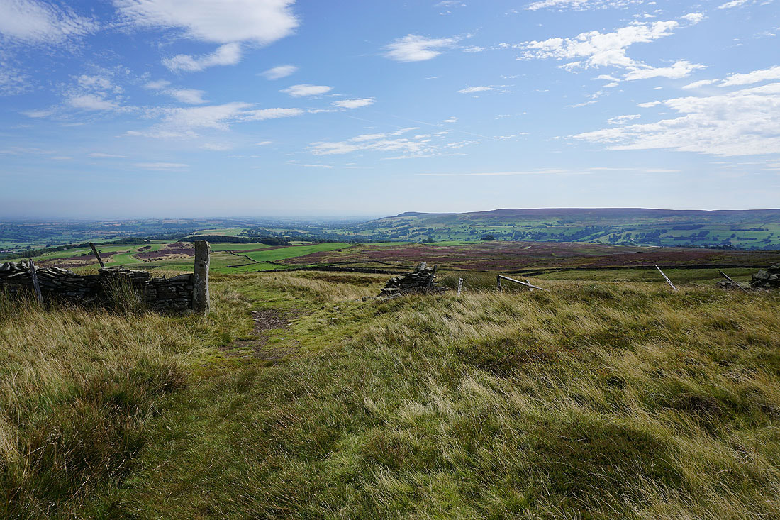
Following the track of Morpeth Gate then High Lane east across the hillside above Wensleydale...
There's a great view down the dale towards Leyburn from High Lane
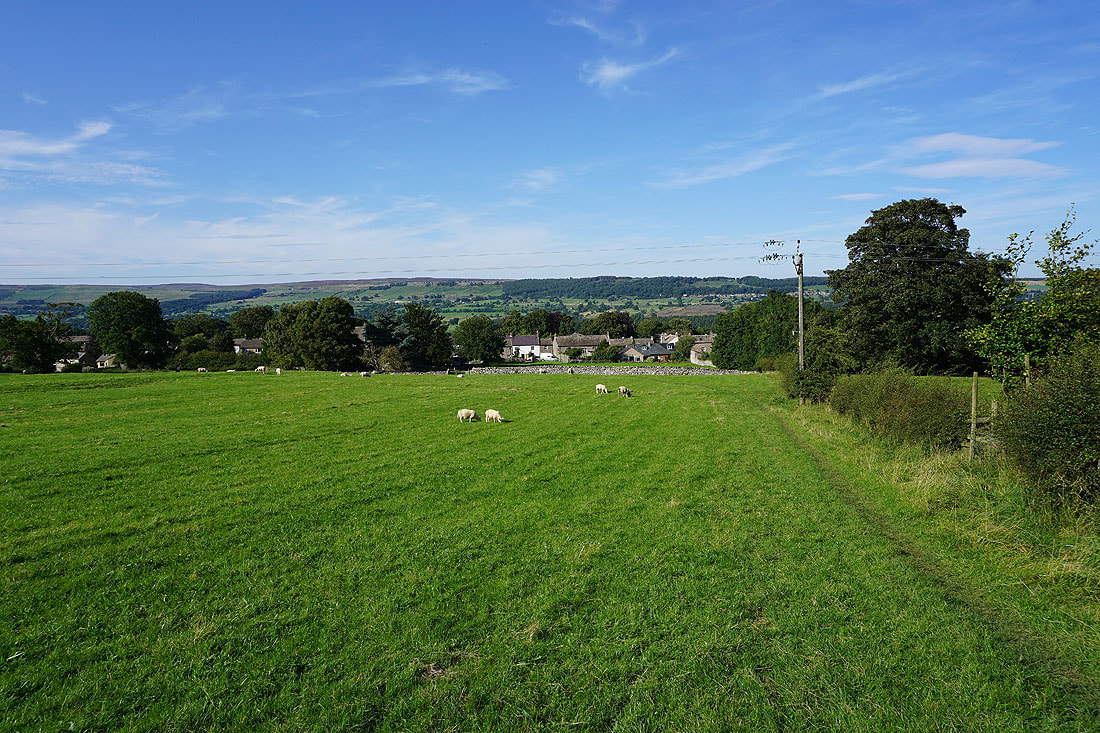
It's a beautiful end to the afternoon as I head down through pastures back to West Witton..