24th December 2008 - A round of Mardale
Walk Details
Distance walked: 8.9 miles
Total ascent: 3192 ft
OS map used: OL5 - The English Lakes, North-eastern area
Time taken: 6 hrs
Route description: Mardale Head-The Rigg-Riggindale-Kidsty Howes-Kidsty Pike-High Raise-Rampsgill Head-High Street-Mardale Ill Bell-Nan Bield Pass-Harter Fell-Gatescarth Pass-Mardale Head
A walk from Mardale Head taking in Kidsty Pike, High Raise, Rampsgill Head, High Street, Mardale Ill Bell and Harter Fell. The weather was rather gloomy but there wasn't a breath of wind on the tops, so not a bad day at all.
Route map
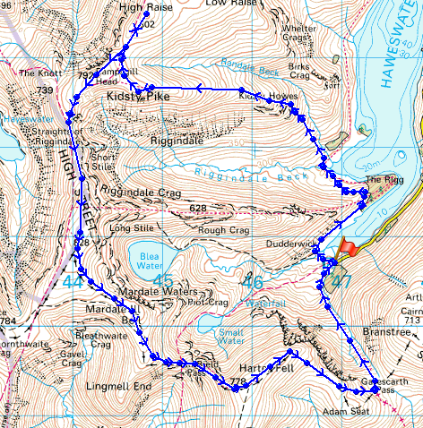
© Crown copyright. All rights reserved. License number PU 100034184.
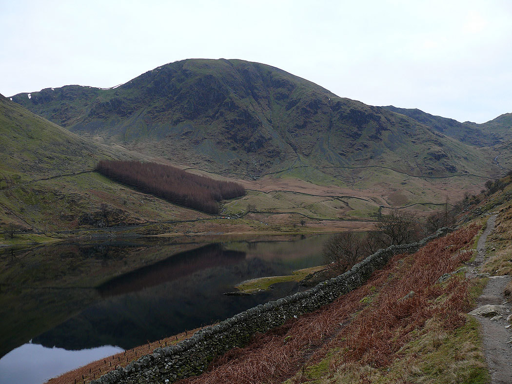
Harter Fell from the side of Haweswater
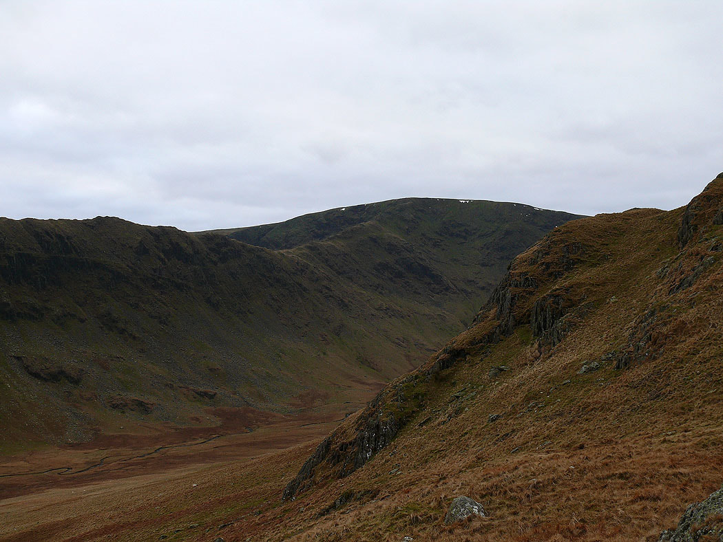
Rough Crag leading up to High Street
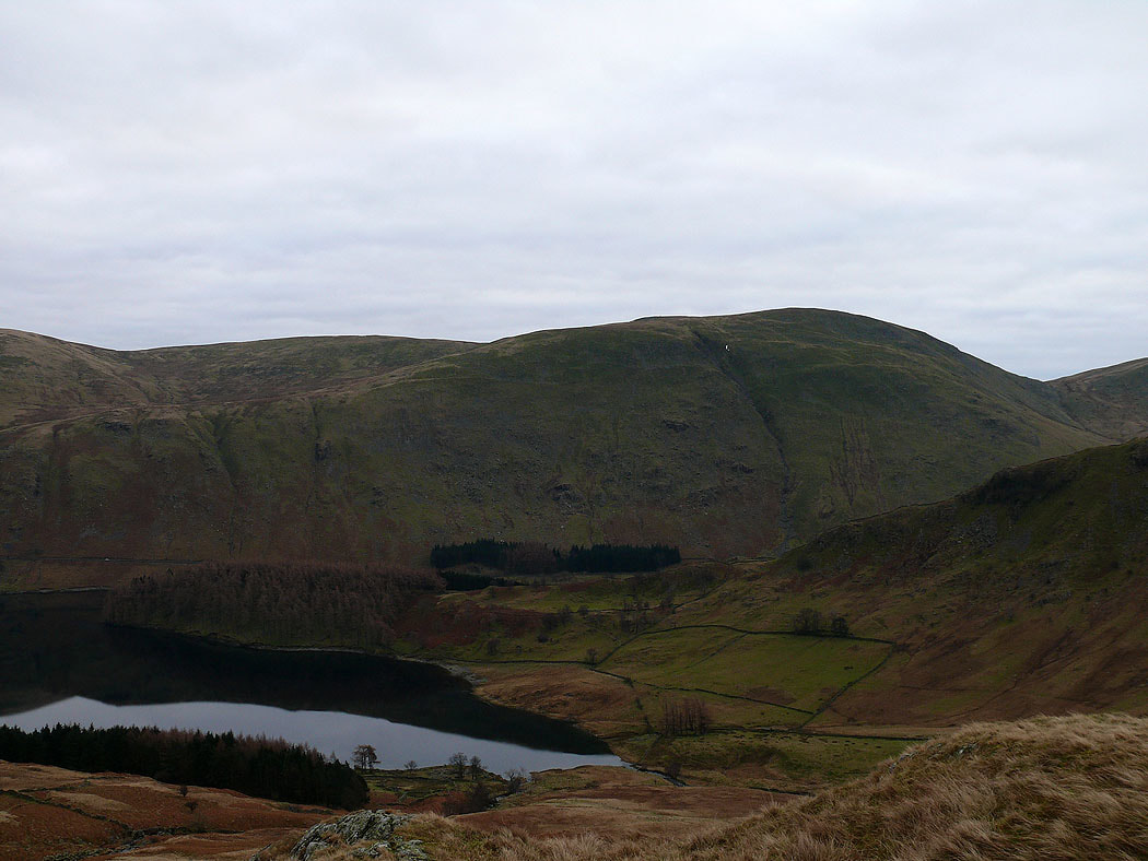
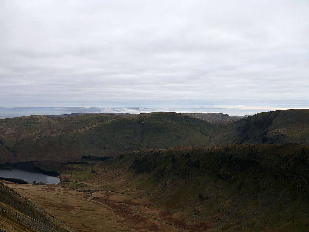
Looking across The Rigg to Branstree
On the summit of Kidsty Pike. The view across Riggindale to Rough Crag.
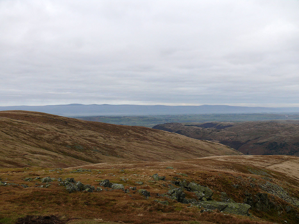
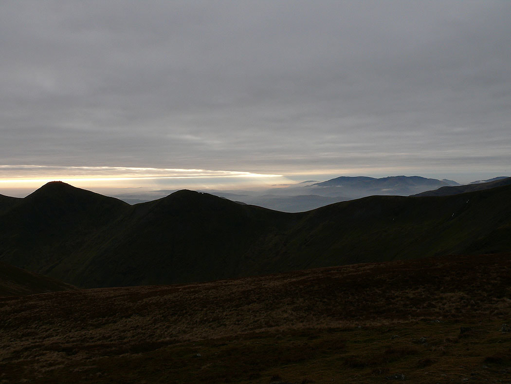
Cross Fell and the North Pennines in the distance
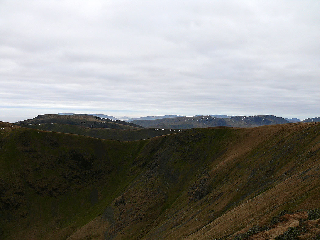
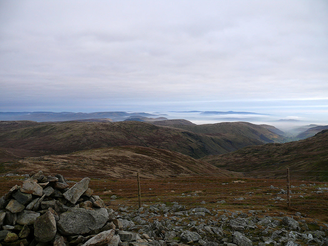
Lots of fells in view across the Straits of Riggindale
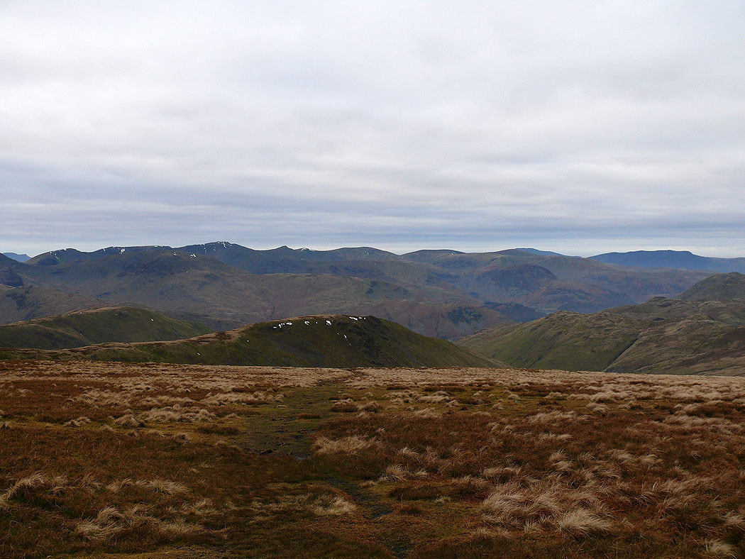
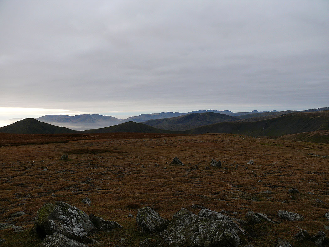
Selside Pike and Branstree from High Raise

Cross Fell and the North Pennines from High Raise
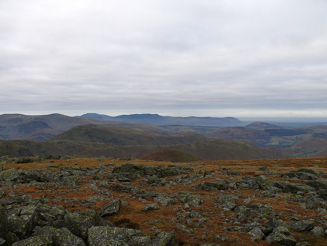
Blencathra in the distance
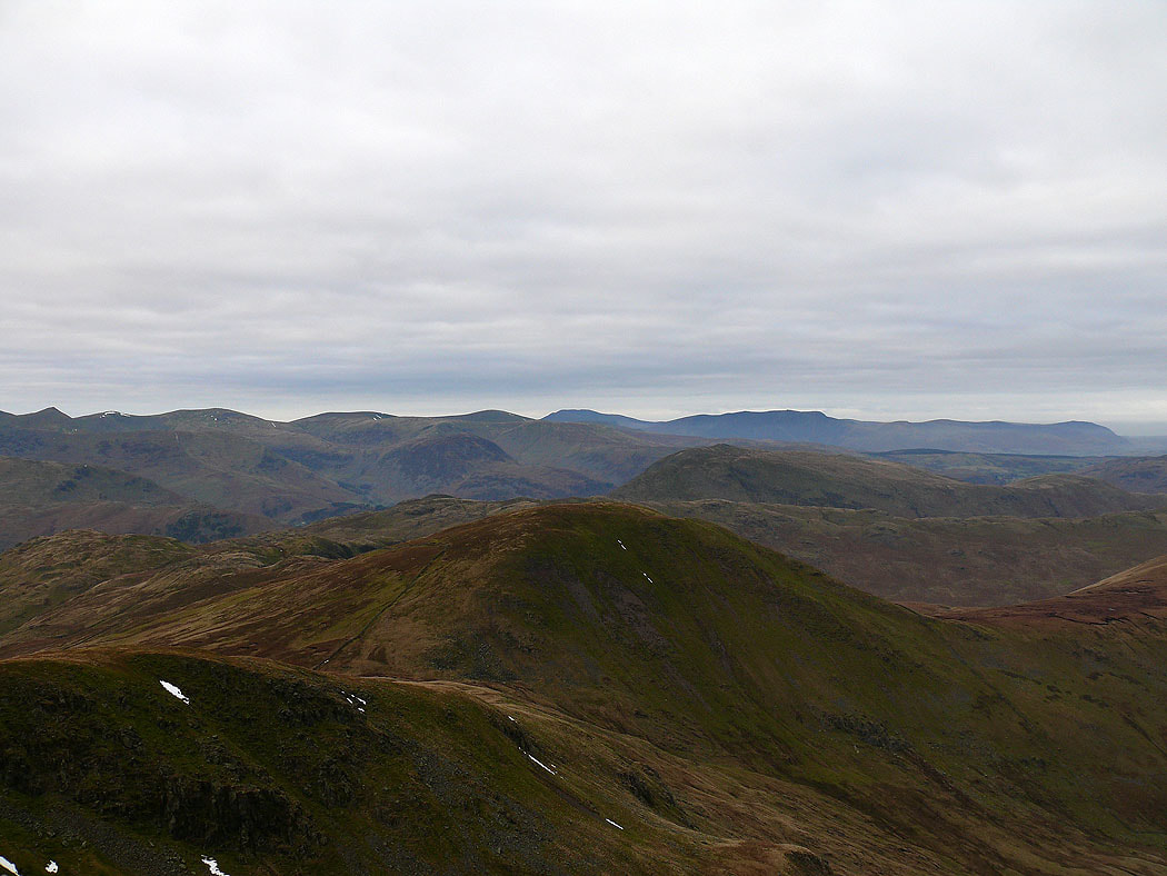
Fairfield and Helvellyn
Helvellyn and the Dodds
The view down Ramps Gill to Martindale from Rampsgill Head
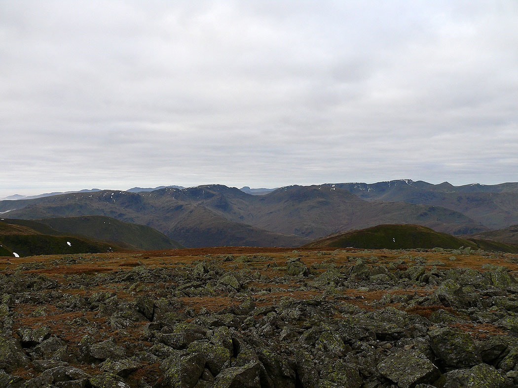
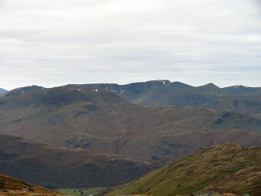
The Dodds, Skiddaw and Blencathra with Rest Dodd in the front of picture
Zooming in on St. Sunday Crag and Helvellyn
Helvellyn, the Dodds and Blencathra from High Street
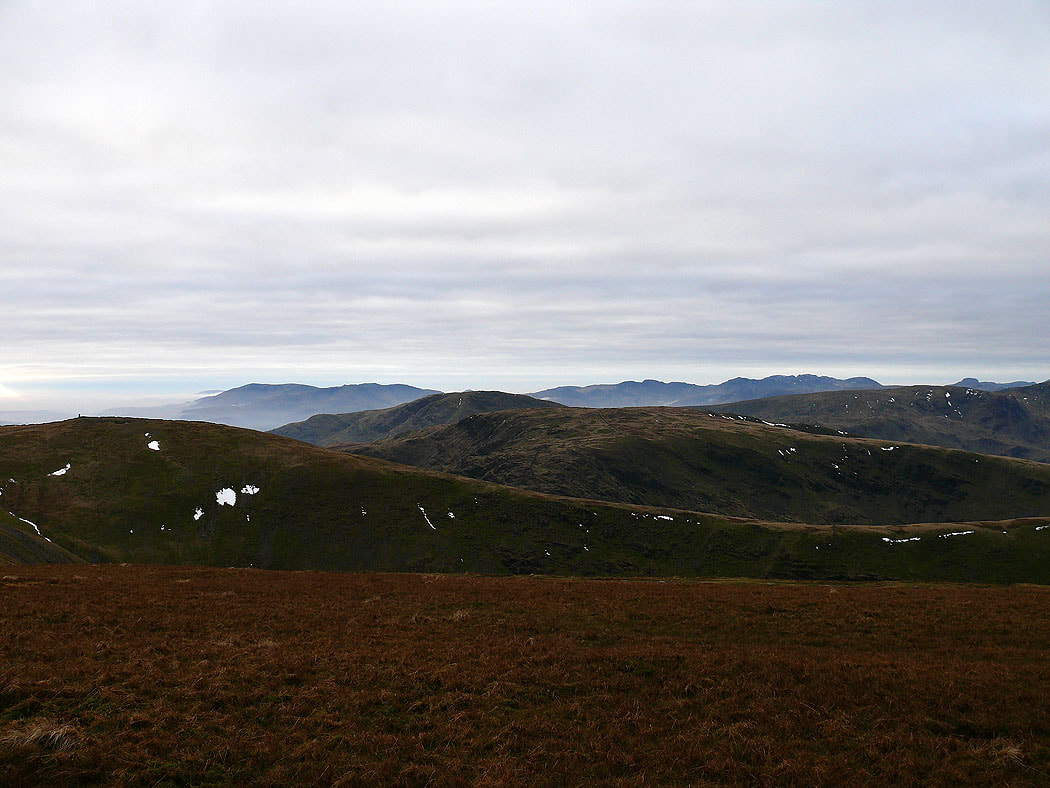
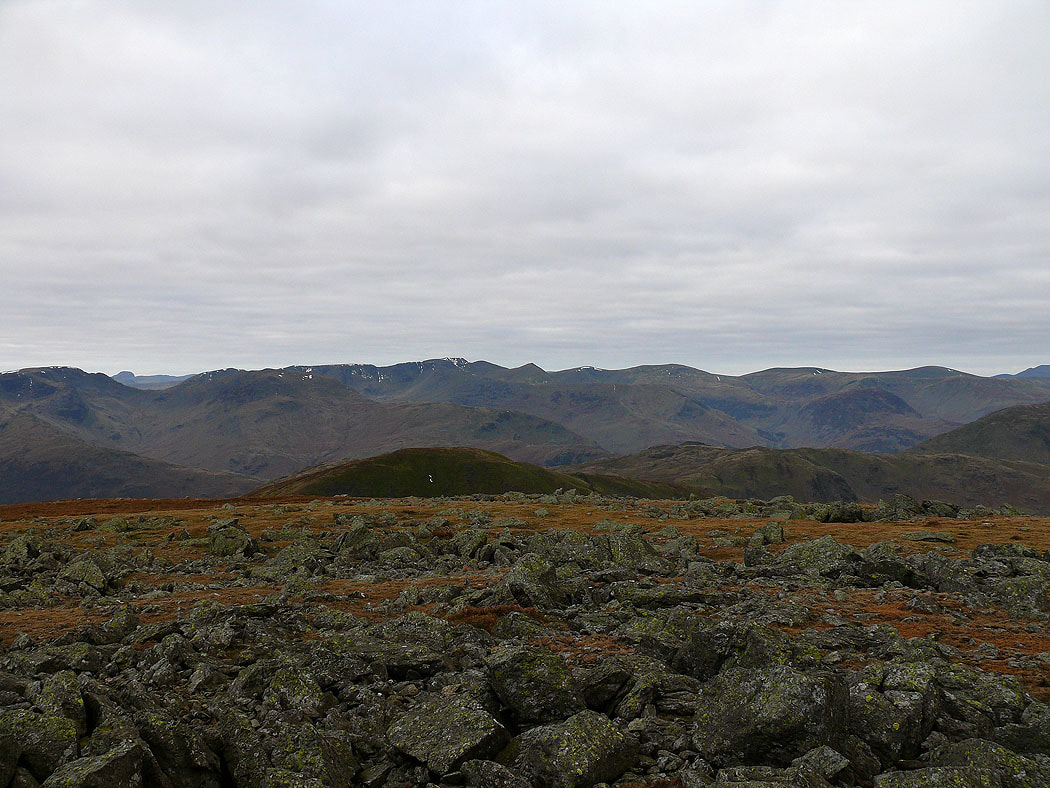
The Coniston fells, Crinkle Crags, Bowfell, the Scafells and Great Gable on the skyline. Thornthwaite Crag, Red Screes and Caudale Moor in the foreground.
On Mardale Ill Bell and the sun is putting in an appearance behind the Ill Bell ridge

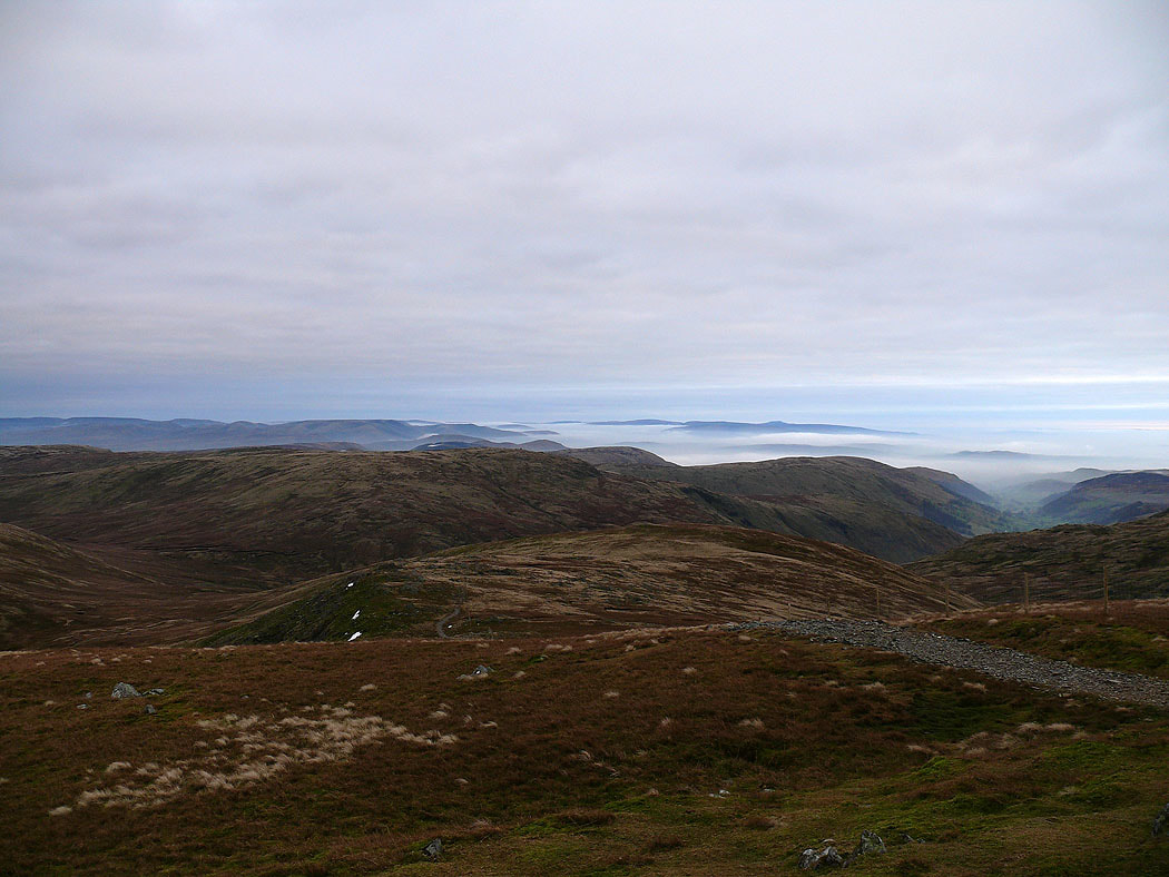
Distant views from the climb up Harter Fell
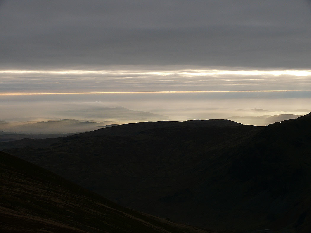
Misty down around Windermere
The view from Harter Fell. The Coniston fells, Crinkle Crags, Bowfell, the Scafells, Great Gable and Pillar in the distance with the Ill Bell ridge in the foreground.
Cross Fell and the North Pennines from Harter Fell
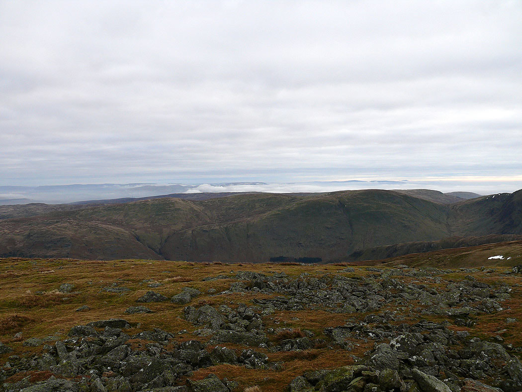
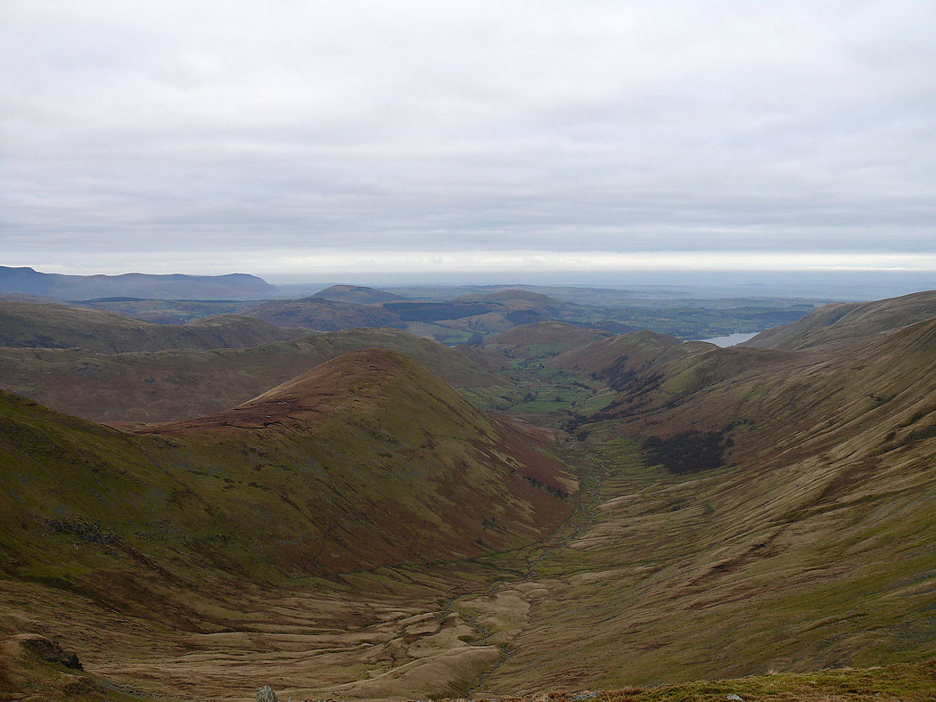
Tarn Crag, Grey Crag and Longsleddale
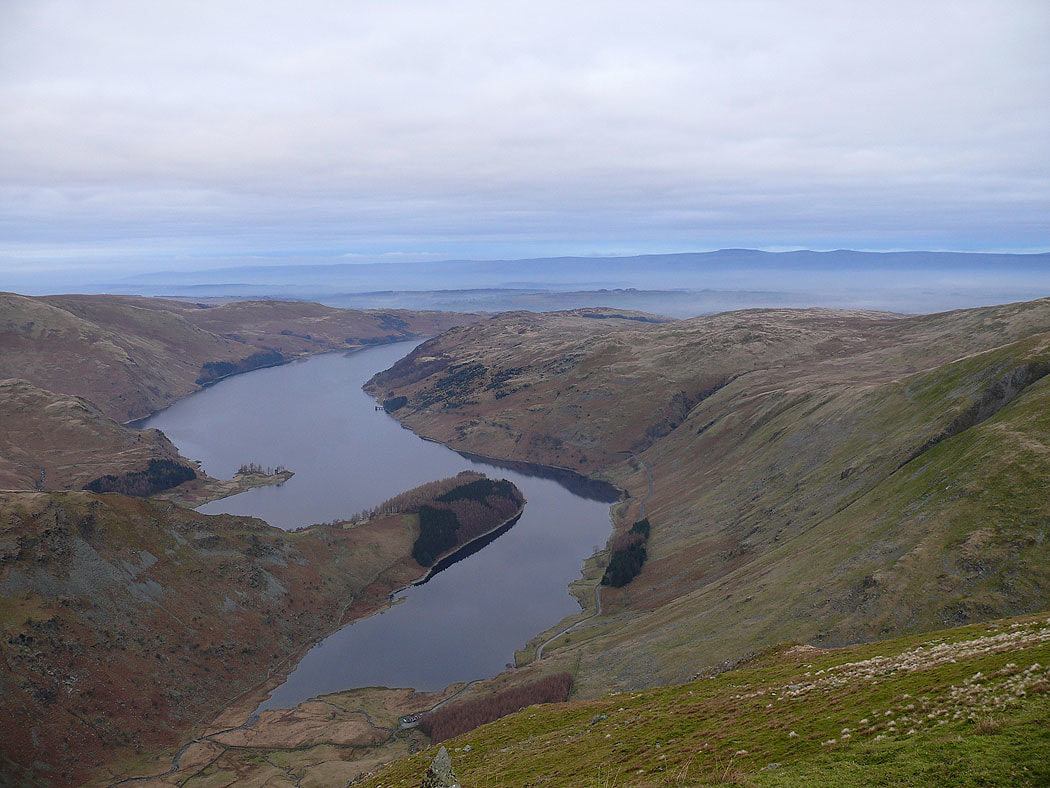
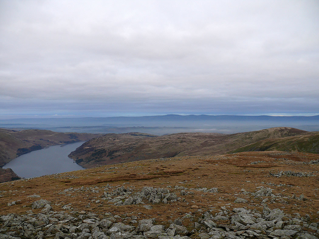
Haweswater
Fog filling the valleys
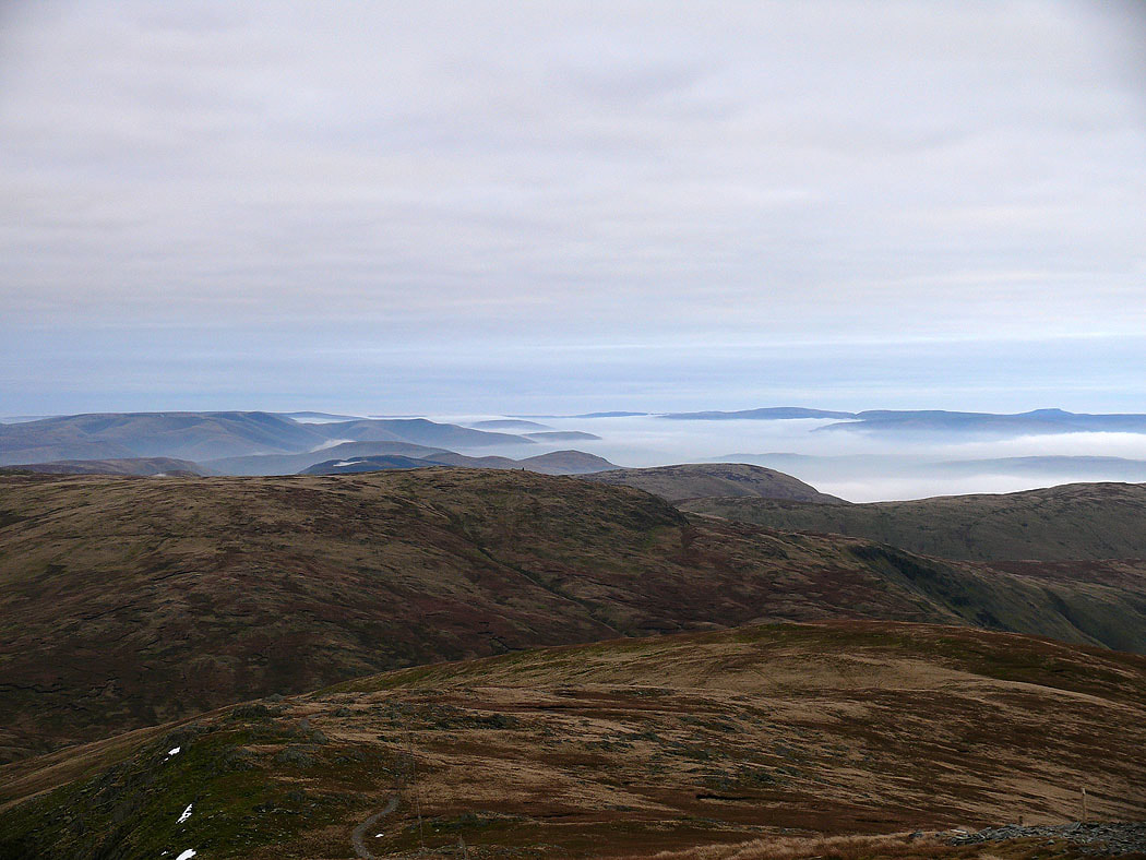
The last shot of the distant view has the Howgills on the left and Ingleborough on the right