24th December 2014 - Kinder Downfall
Walk Details
Distance walked: 7.4 miles
Total ascent: 1923 ft
OS map used: OL1 - The Peak District, Dark Peak area
Time taken: 5 hrs
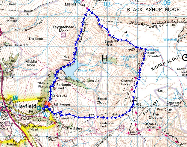
Route description: Bowden Bridge-Kinder Road-Kinder Reservoir-William Clough-Kinder Downfall-Kinder Low-Kinderlow End-Tunstead Clough Farm-Bowden Bridge
Maybe not the best of weather for a pre-Christmas walk but it was better than recent days. A couple of brief showers passed through while I was up on Kinder Scout and with the strong wind behind them it wasn't pleasant but there was still a nice bit of winter sunshine to enjoy. Kinder Downfall was great to watch as it did battle with the wind.
From where I parked by the roadside at Bowden Bridge I made my way up the Kinder Road to Kinder Reservoir. I followed the path by the shoreline to William Clough and then the path up the clough to its top. The next part of the route took me along the edge top path to Kinder Downfall and on to the trig point at Kinder Low. My route back took me down Kinderlow End, across fields to Tunstead Clough Farm and down its driveway to the Kinder Road.
Route map
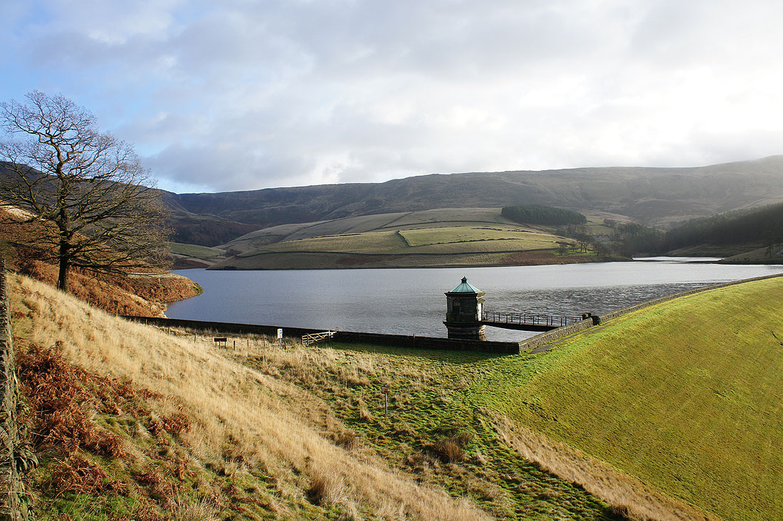
Kinder Reservoir and part of my route to Kinder Low along the skyline above
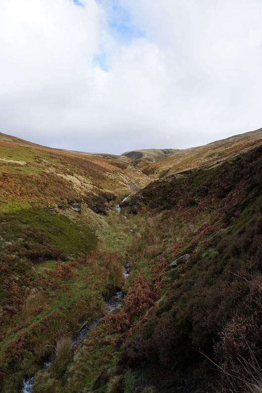
On the path up William Clough. Lots of water pouring off the hills today.
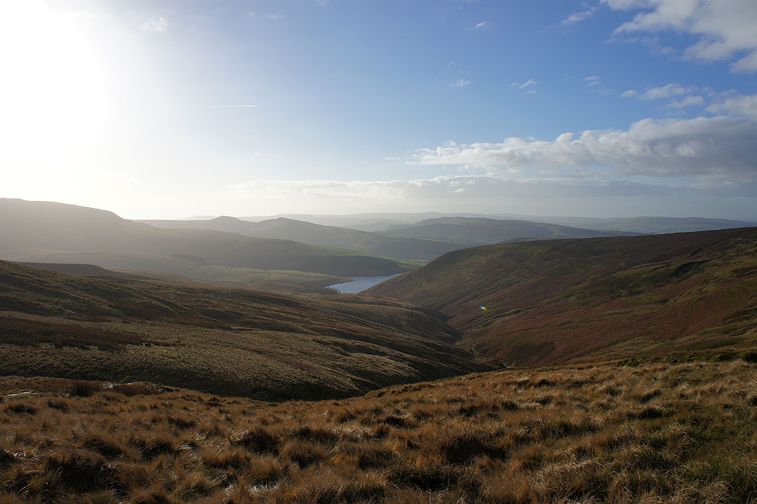
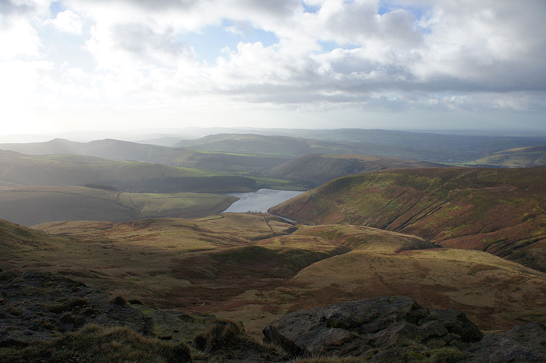
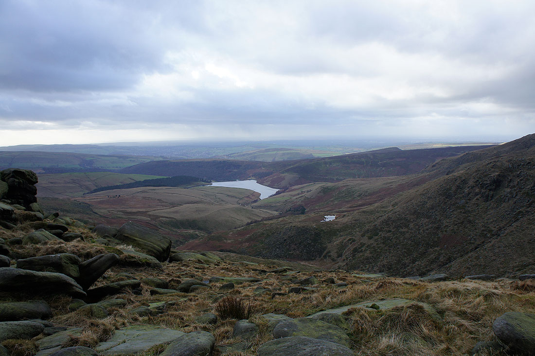
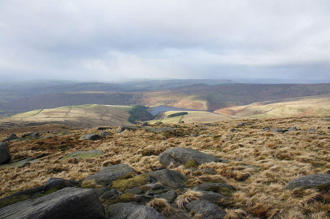
Looking back down to Kinder Reservoir from the top of William Clough
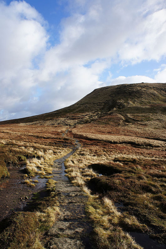
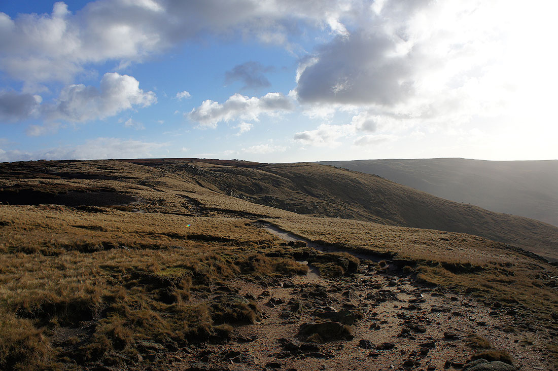
Heading up onto the western end of Kinder Scout
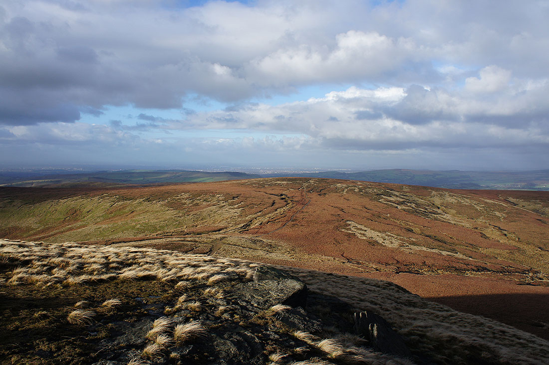
Before I head for Kinder Downfall I'll have a look at the view to the north that I won't have for the rest of the walk. A distant Manchester beyond nearby Mill Hill.
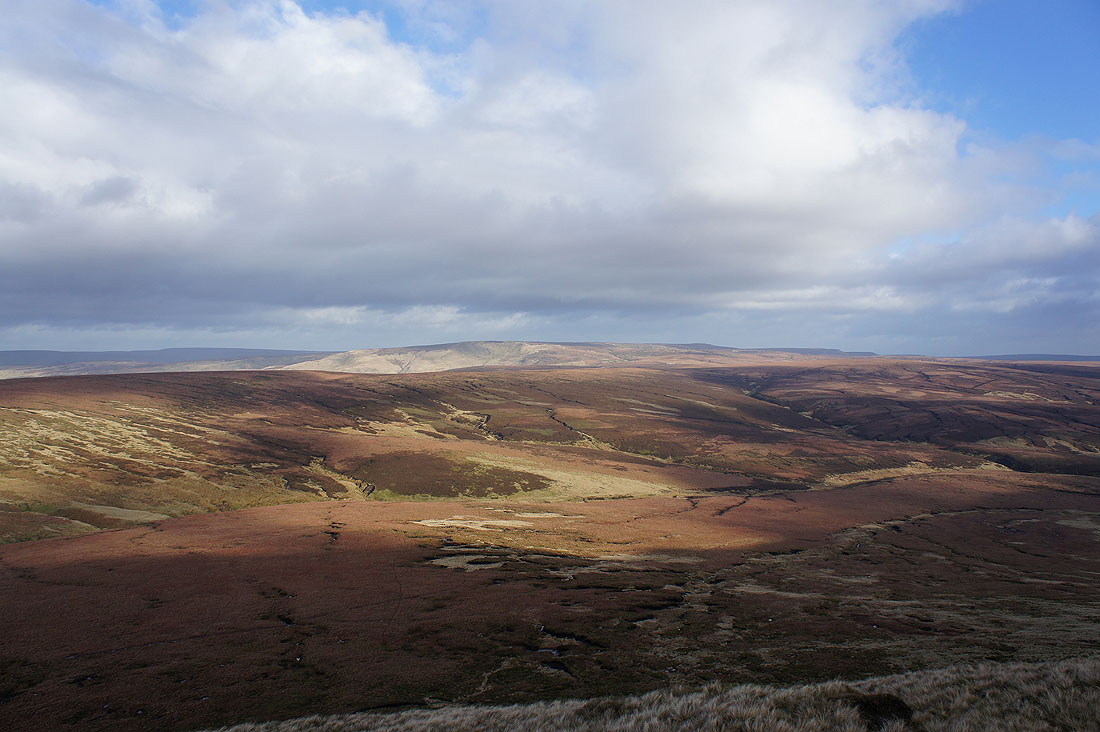
Bleaklow on the other side of the Snake Pass
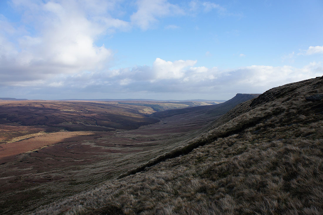
Looking down Ashop Clough with a little bit of the northern edge of Kinder Scout visible on the right
Following the edge path to Kinder Downfall and it's very windy
Kinder Reservoir is below on my right
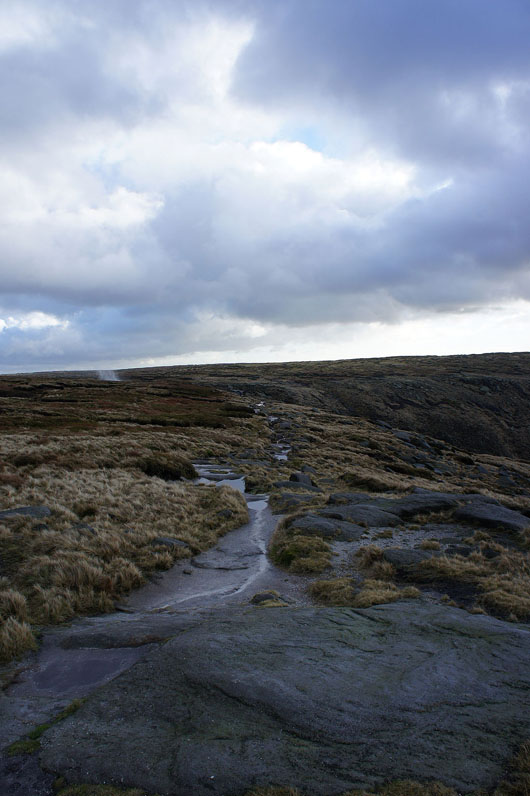
As I approach Kinder Downfall I can see spray being thrown up by the wind. Should be interesting.
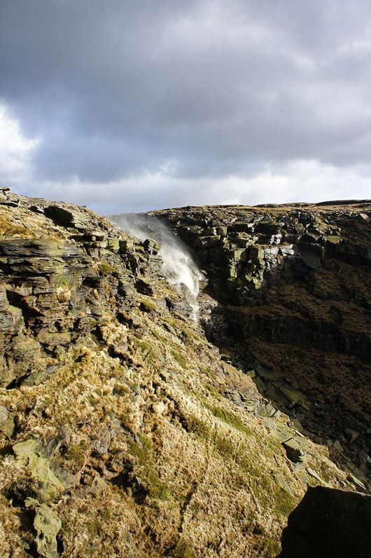
Kinder Downfall. Great fun to watch as the wind does battle with it.
Kinder Reservoir and Mermaid's Pool as I head for Kinder Low
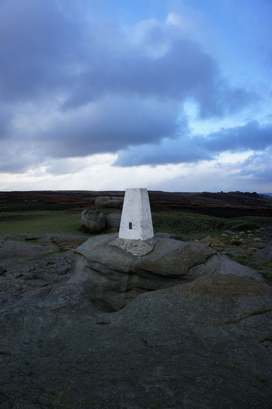
The trig point on Kinder Low. The bare peat has been seeded and the green of the fresh grass really stands out. Hopefully the restoration continues to succeed.
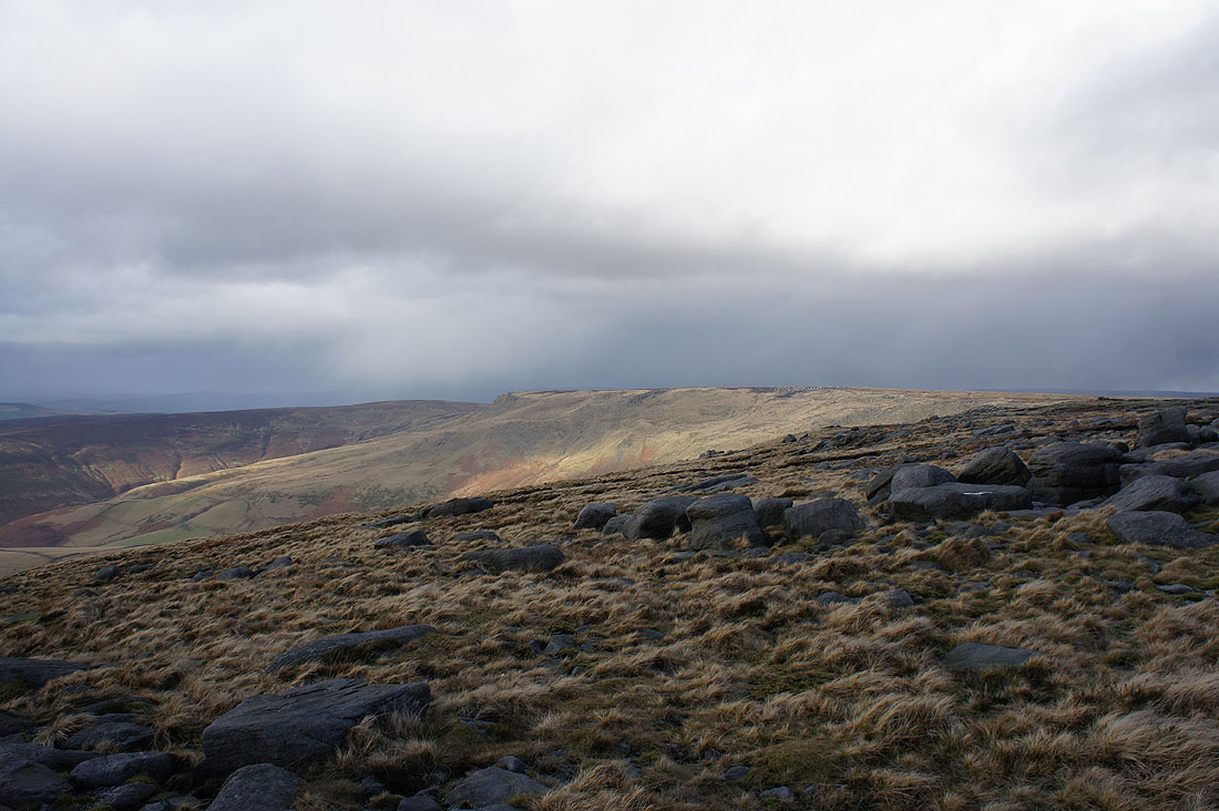
Some of the gritstone outcrops of the southern slopes of Kinder Scout visible on the left
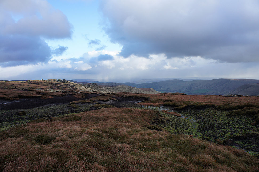
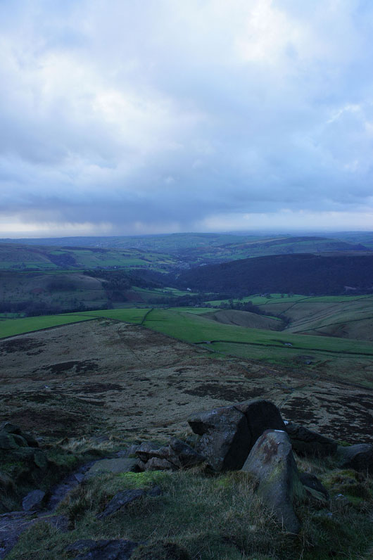
Showers pass by to the north and the sun lights up where I was walking earlier in the day
Kinder Reservoir below and I'm struggling to keep still enough in the wind to take a picture
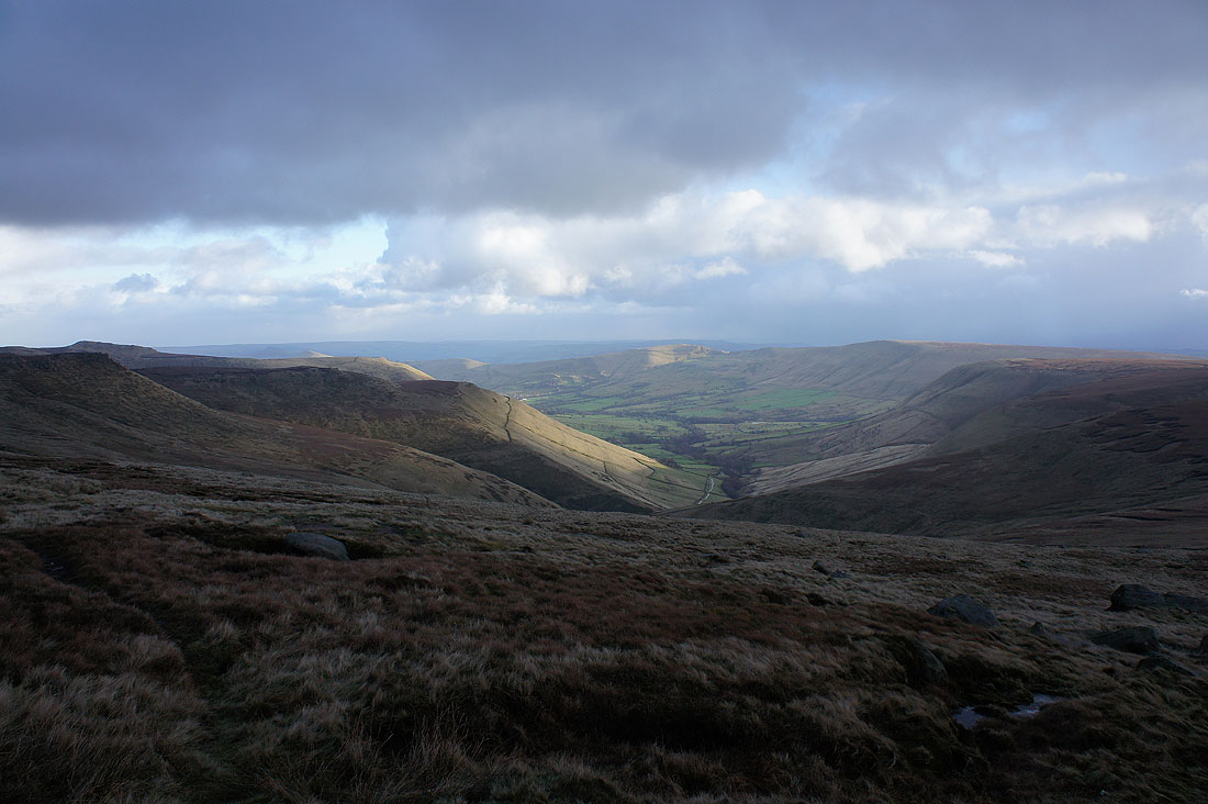
A great view of the Vale of Edale down to Mam Tor as I head for Kinderlow End
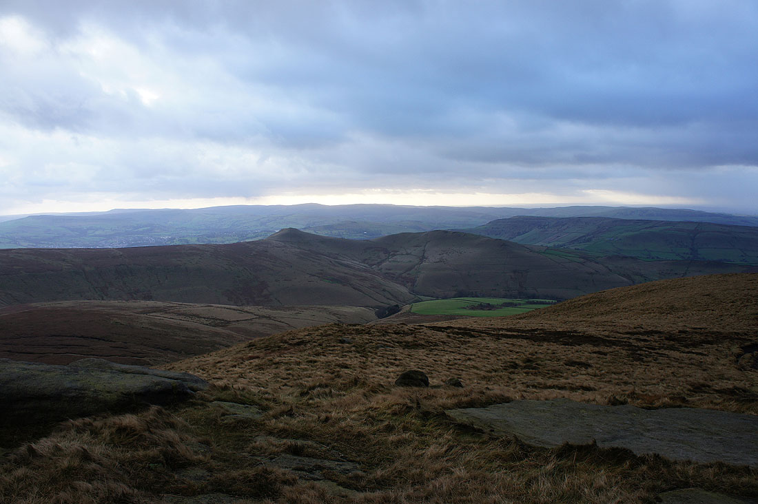
South Head and Mount Famine before..
..I descend Kinderlow End and cross the fields below to head back to Bowden Bridge
