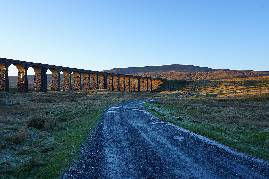
24th December 2018 - Whernside
Walk Details
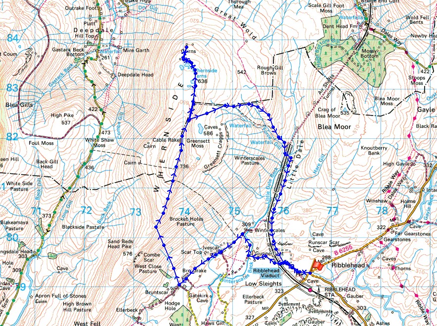
Distance walked: 9.9 miles
Total ascent: 1770 ft
OS map used: OL2 - Yorkshire Dales, Southern & Western areas
Time taken: 6 hrs
Route description: Ribblehead-Ribblehead Viaduct-Gunnerfleet Farm-Winterscales-Ivescar-Broadrake-High Pike-Whernside-Whernside Tarns-Dales High Way-Little Dale-Bleamoor Sidings-Ribblehead Viaduct-Ribblehead
This walk was an early Christmas present. Winter days like this one make up for all the grey and gloomy ones and really help me feel better at this time of year. Whernside from Ribblehead was just the right length of walk for a short winter's day, even with the detours to Whernside Tarns and the waterfall on Force Gill, and it was accompanied by wall-to-wall blue skies and sunshine from dawn to dusk with a cold breeze high up. Excellent visibility also meant fantastic all-round views. The extra shadow I have in some of the photos is my older brother Stephen, who joined me on a walk for the first time in quite a while. He picked a good day.
After parking in the layby on the Blea Moor Road at Ribblehead I set off by taking the path then track to the Ribblehead Viaduct, through the arches and on to Gunnerfleet Farm. Here I turned right and took the byway towards Winterscales Farm to pick up the bridleway southwest past Ivescar Farm and Broadrake. Just before Bruntscar the path to the summit is reached. I left the bridleway and followed this uphill to the south ridge and then on to the summit. After having lunch sat in the shelter of the wall I made my way back down by the path to and down Little Dale (a diversion to Whernside Tarns and to see the waterfall on Force Gill was made), past Bleamoor Sidings and the Ribblehead Viaduct to where I'd parked by the Blea Moor Road.
Route map
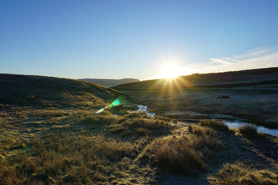
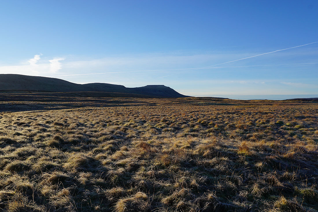
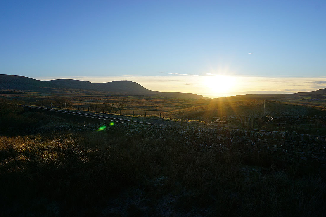
The rising sun next to Penyghent from where I'm parked at Ribblehead
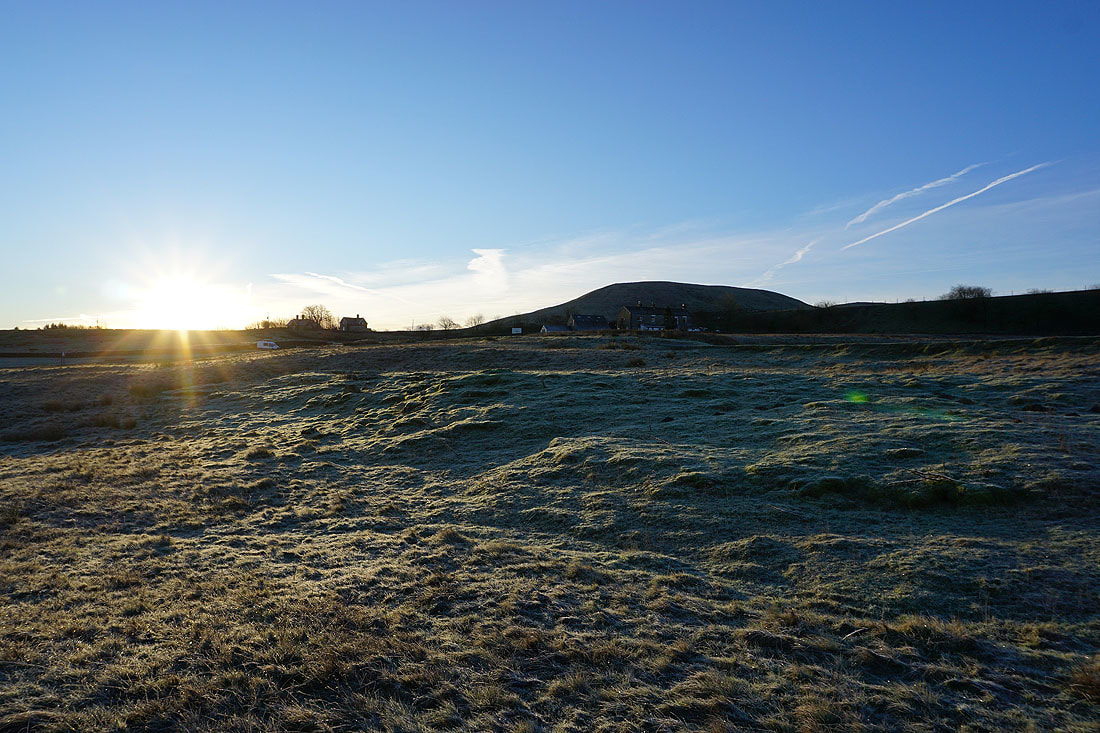
The Station Inn backed by Park Fell
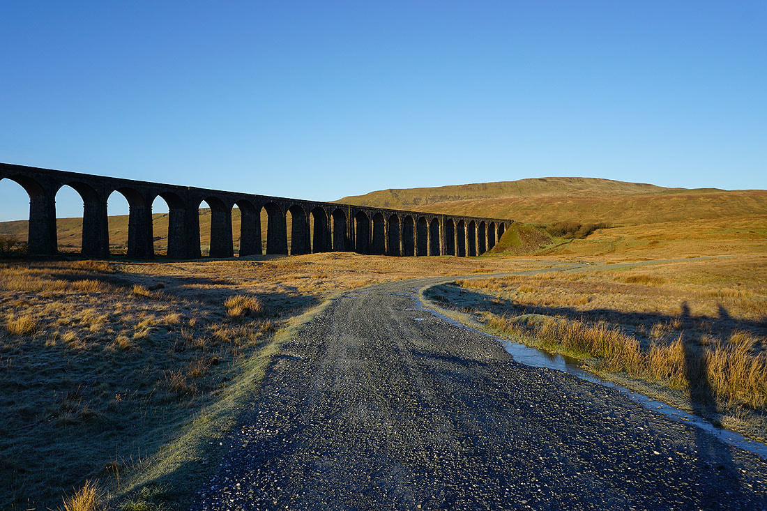
Heading for the Ribblehead Viaduct
Park Fell, Simon Fell and Ingleborough
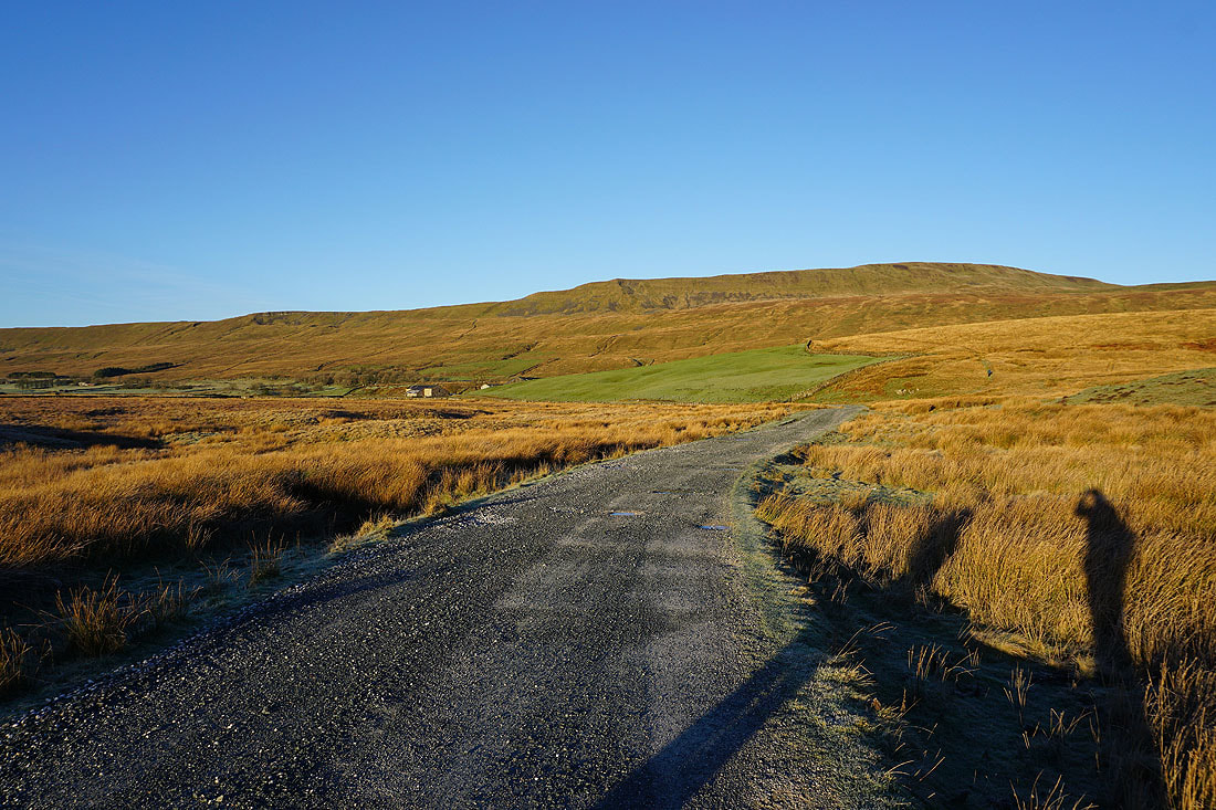
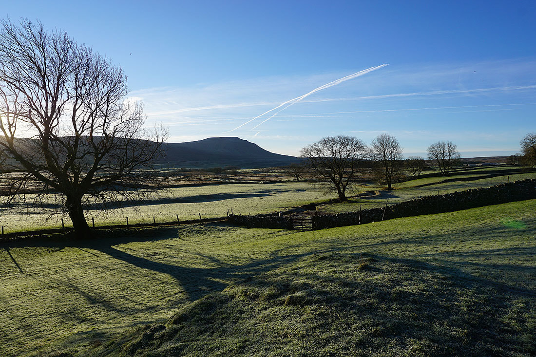
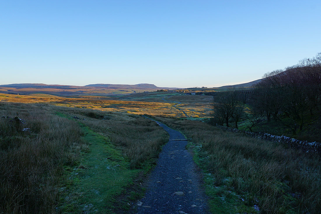
Whernside from the bridleway to Gunnerfleet Farm
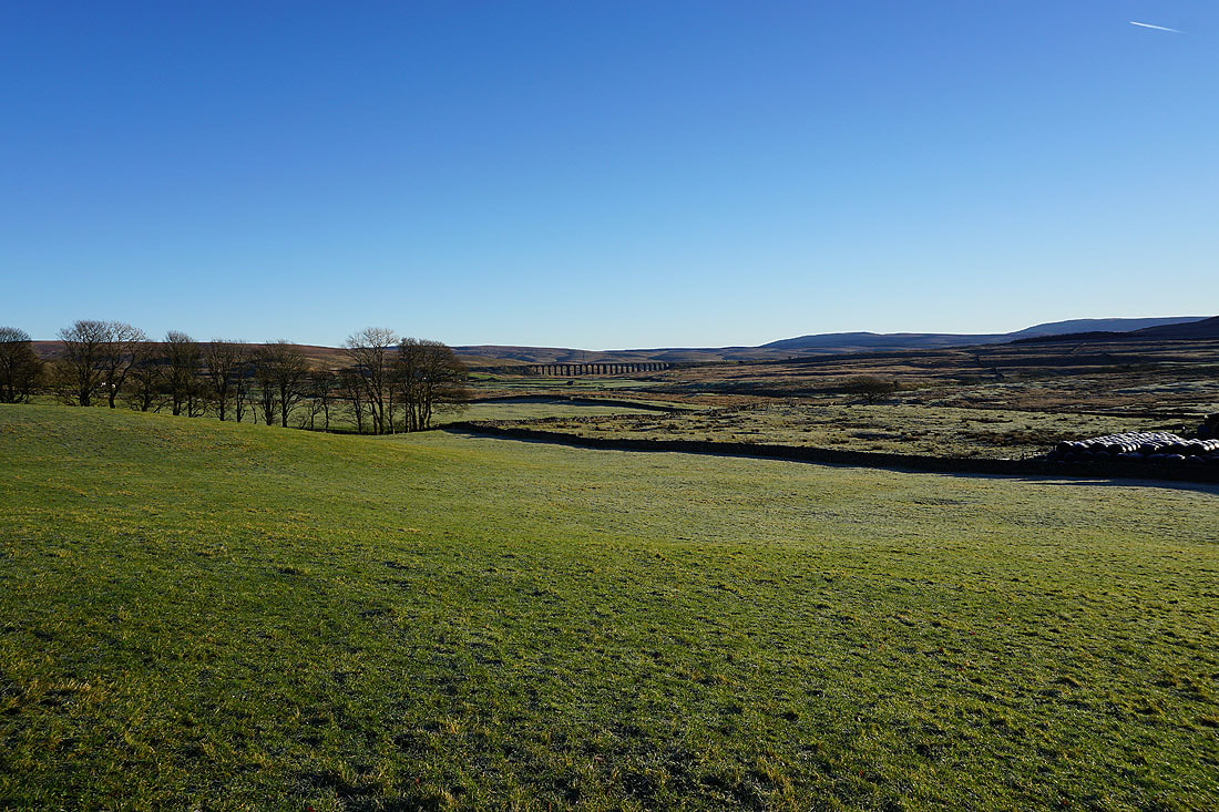
Looking back to the Ribblehead Viaduct
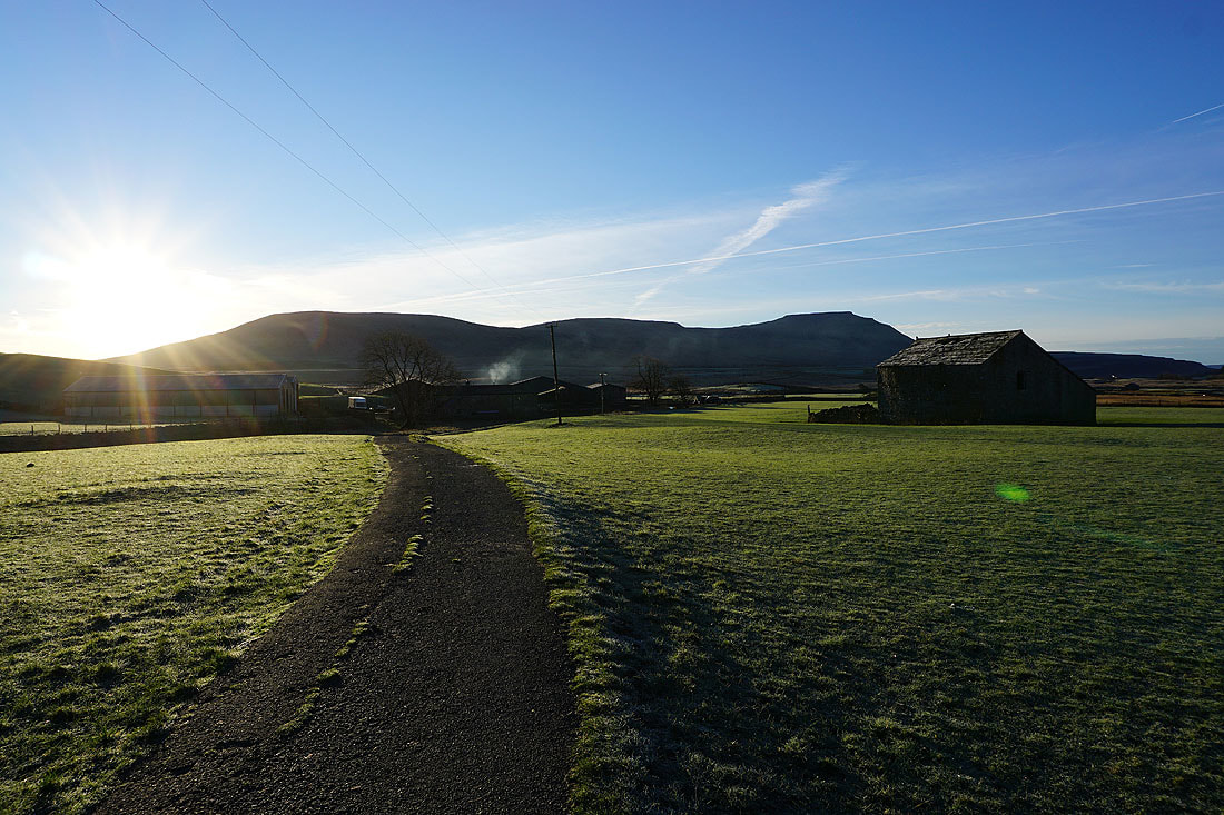
Park Fell, Simon Fell and Ingleborough behind Gunnerfleet Farm
Bare trees, frosty fields and Ingleborough from the bridleway to Broadrake
The viaduct is left far behind
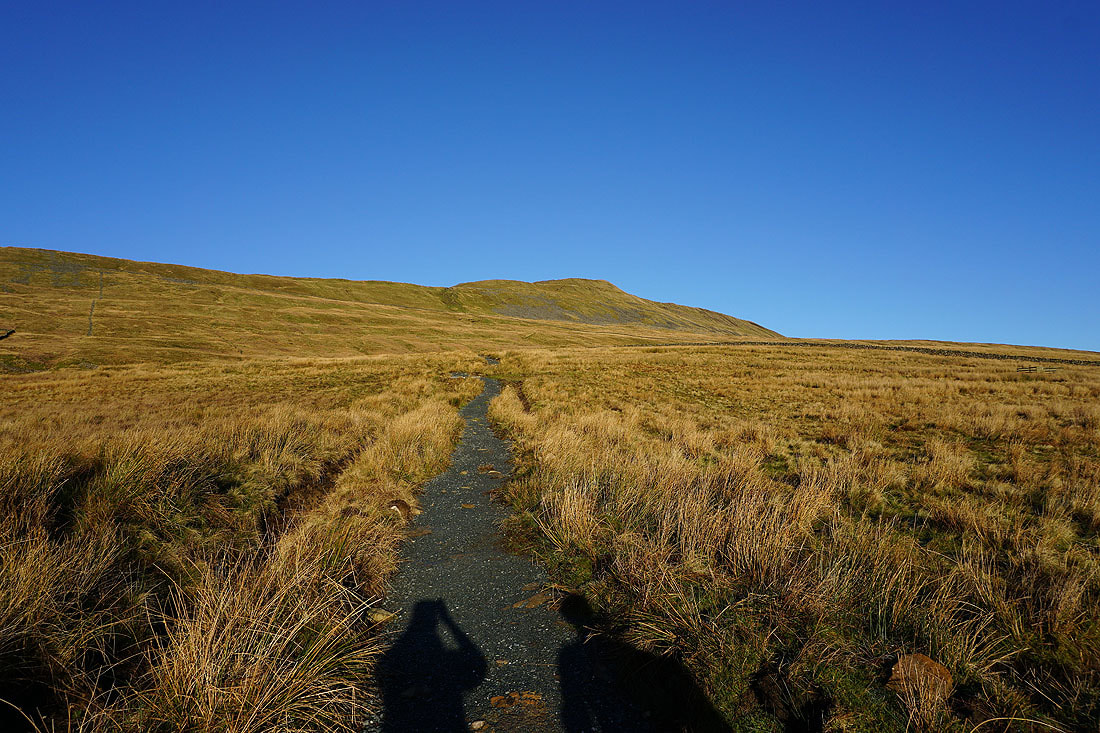
Climbing Whernside
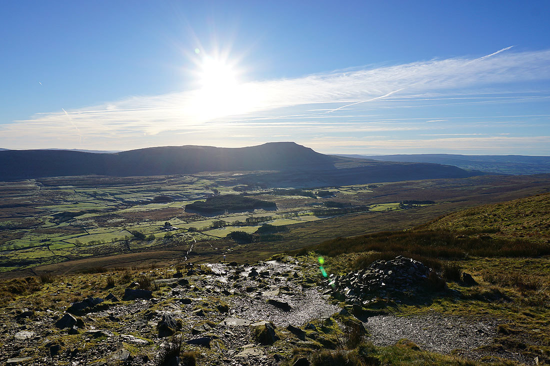
Ingleborough across Chapel-le-Dale as the top of the steepest part of the climb is reached
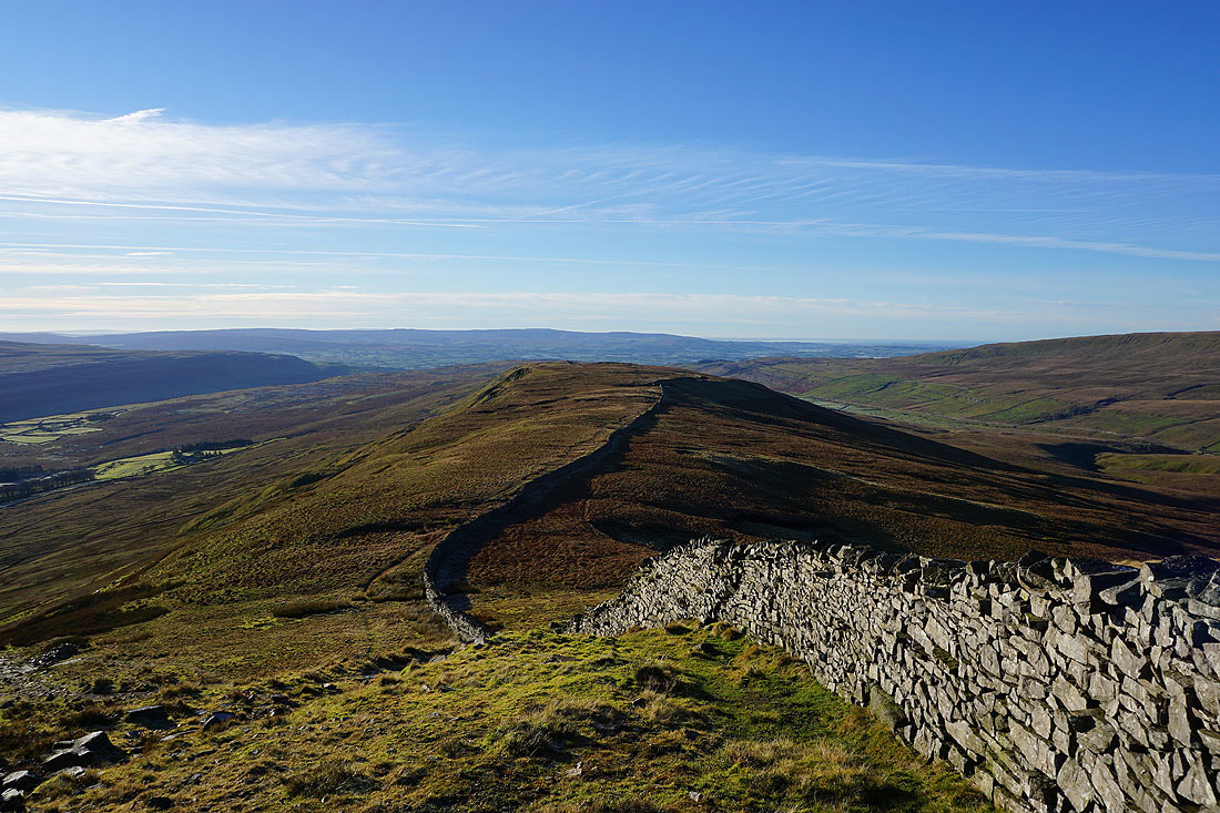
Whernside's southwest ridge with the Forest of Bowland in the distance
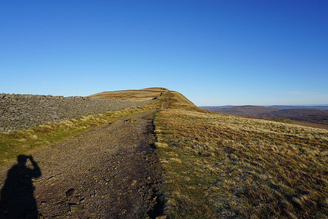
Onwards and upwards
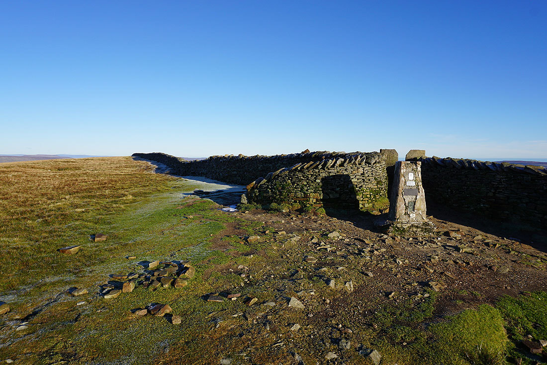
Some time later and after a break for lunch, the trig point on the summit of Whernside
There's a fantastic all-round view to take in today. Starting with looking south to the Forest of Bowland.
Park Fell, Simon Fell and Ingleborough. I can make out Pendle Hill to the left of Ingleborough's summit.
Gragareth, Green Hill and Great Coum with a long line of Lake District fells in the distance..
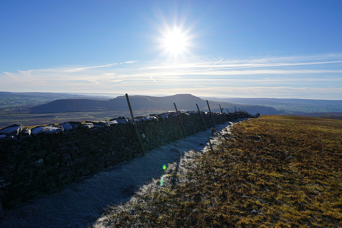
On the other side of the summit wall. Buckden Pike, Great Whernside and Penyghent in the distance with Ribblehead below.
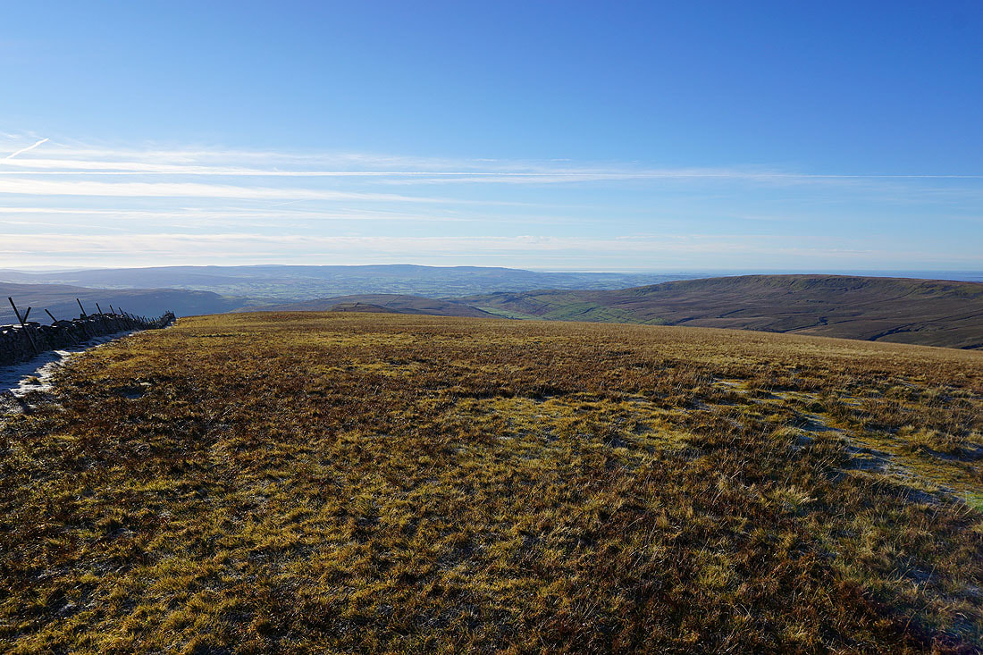
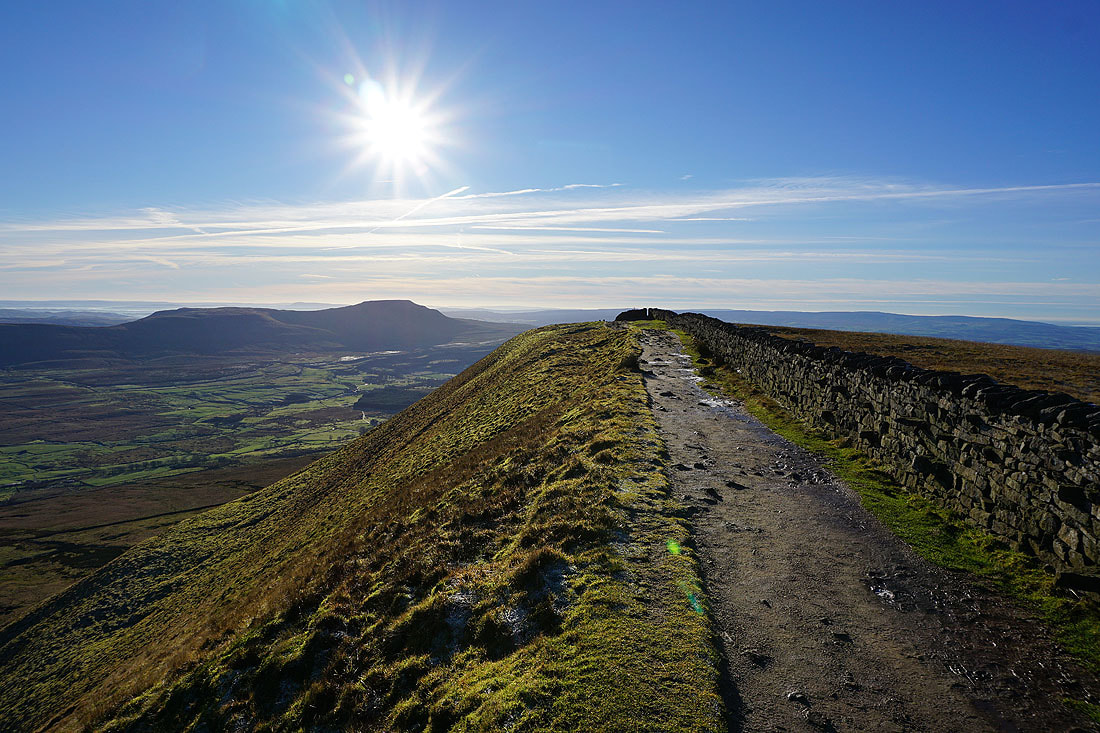
Looking back along Whernside's broad summit
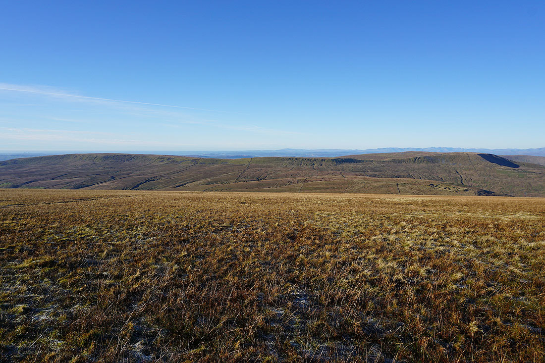
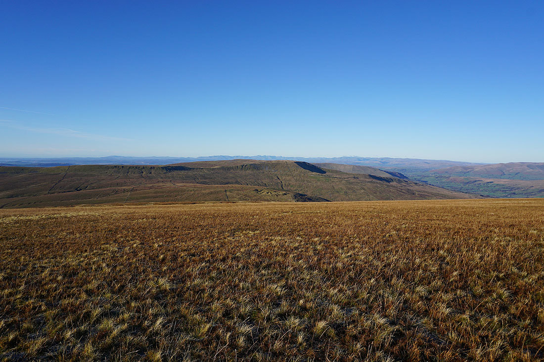
Great Shunner Fell, Great Knoutberry Hill and Dodd Fell Hill with Greensett Tarn below
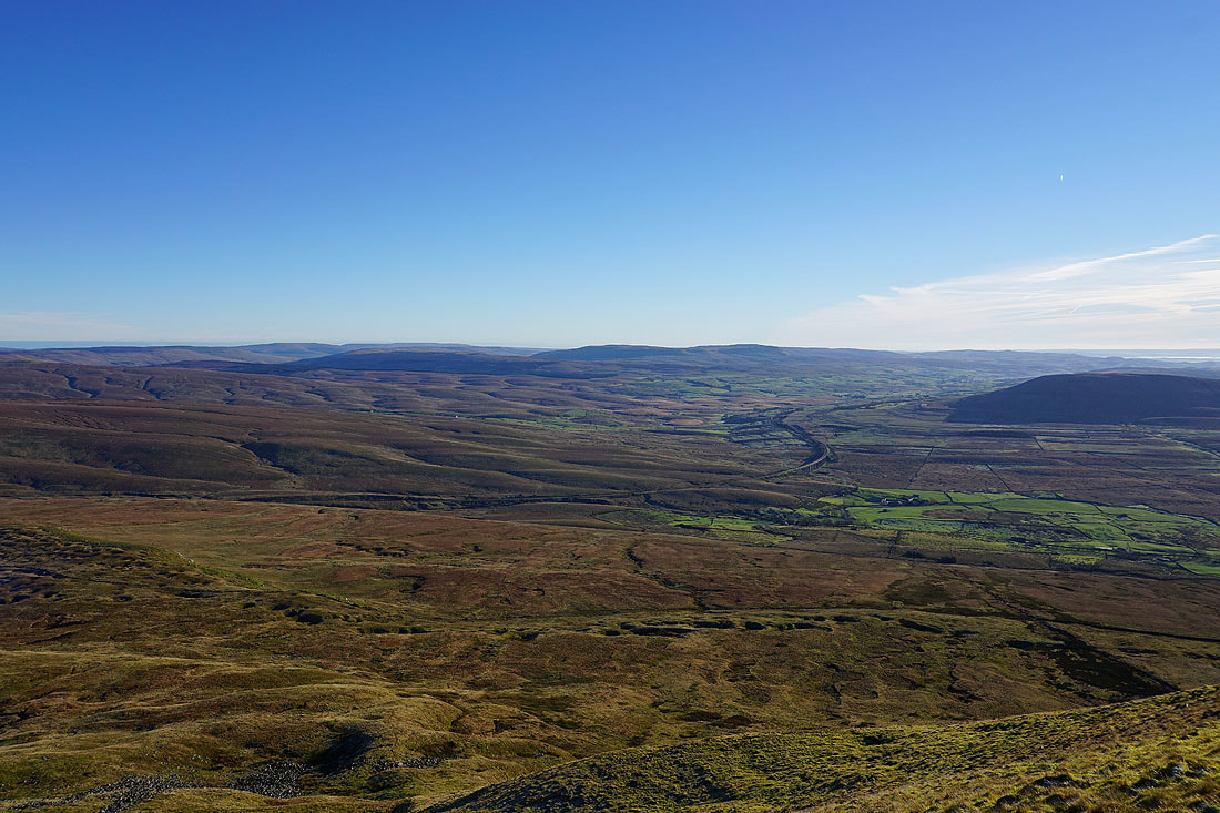
Looking across the summit wall to Deepdale, Dentdale, the eastern and far eastern fells of the Lakes, the Howgills and Baugh Fell
Penyghent and Greensett Tarn
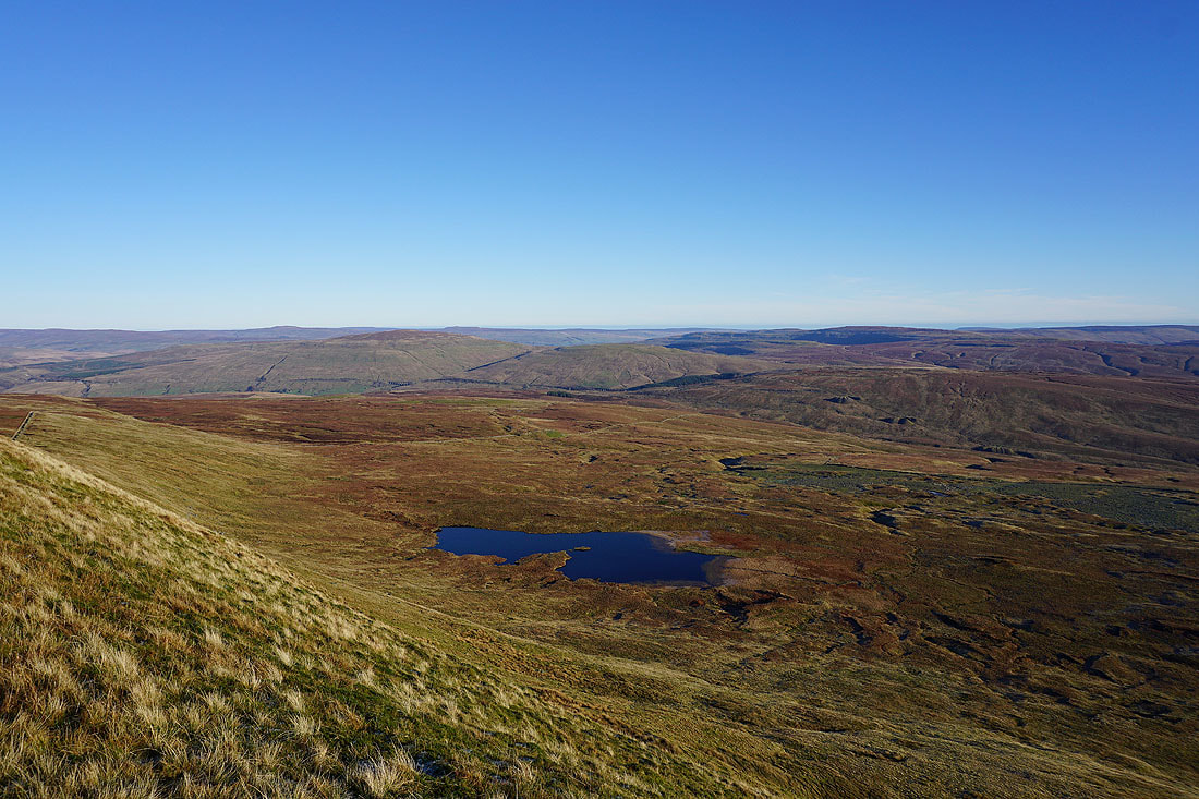
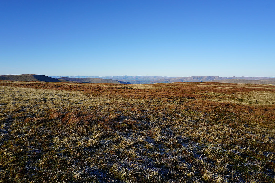
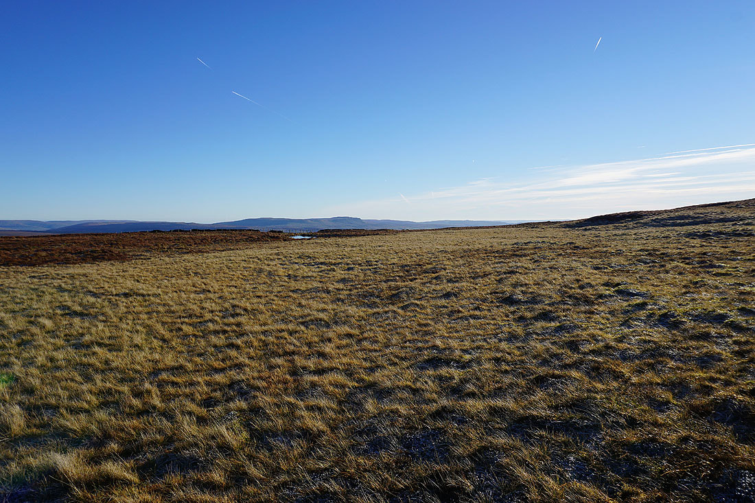
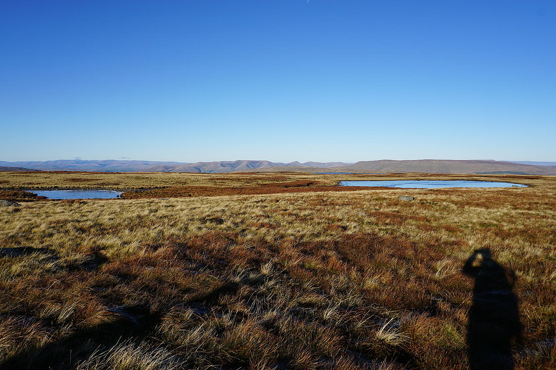
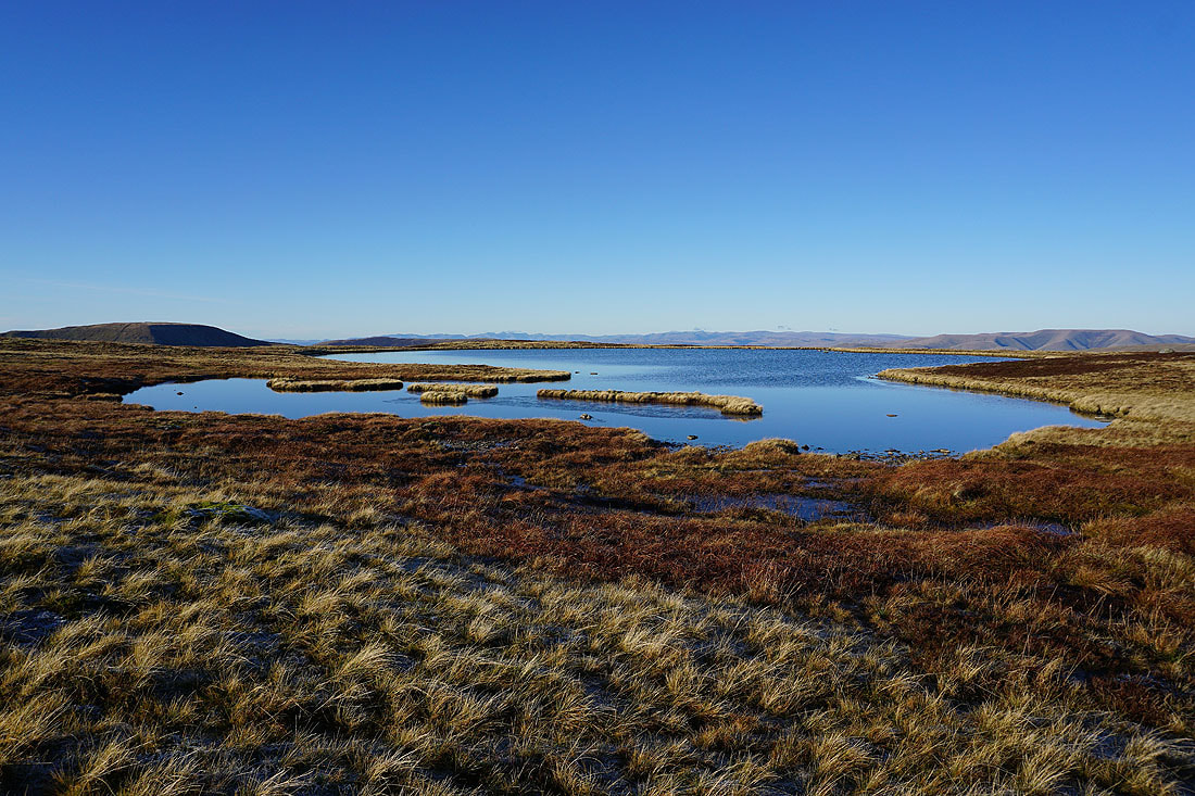
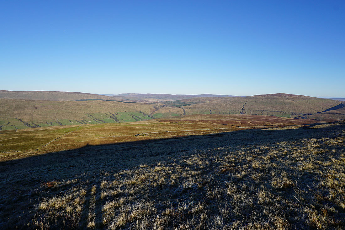
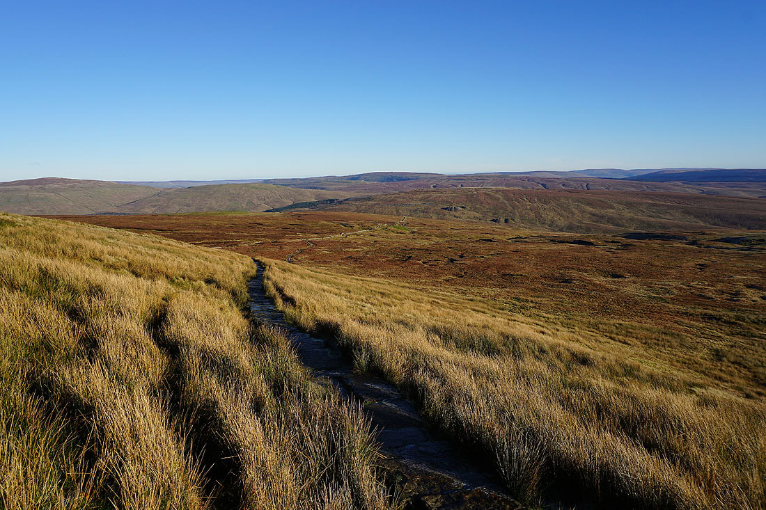
The main path has been left behind to visit Whernside Tarns. Great views across the moors in their winter colours..
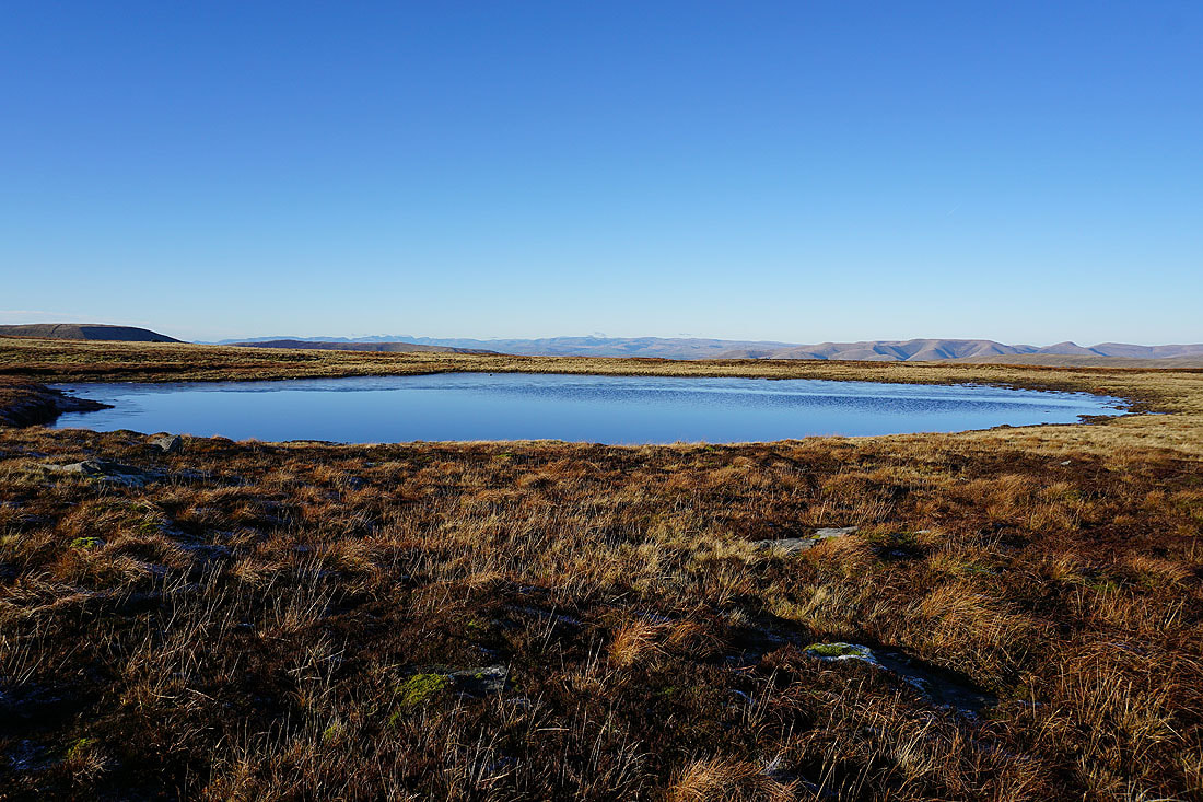
The Howgills and Baugh Fell from Whernside Tarns..
..and Great Coum and a long line of distant Lake District fells
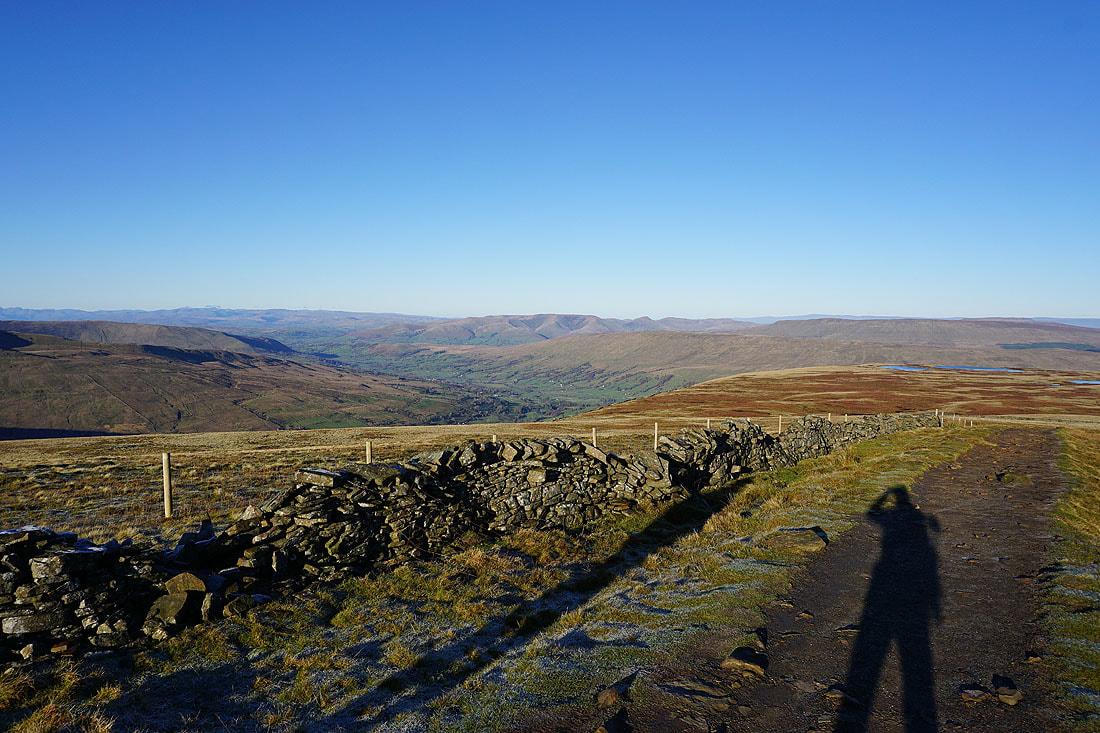
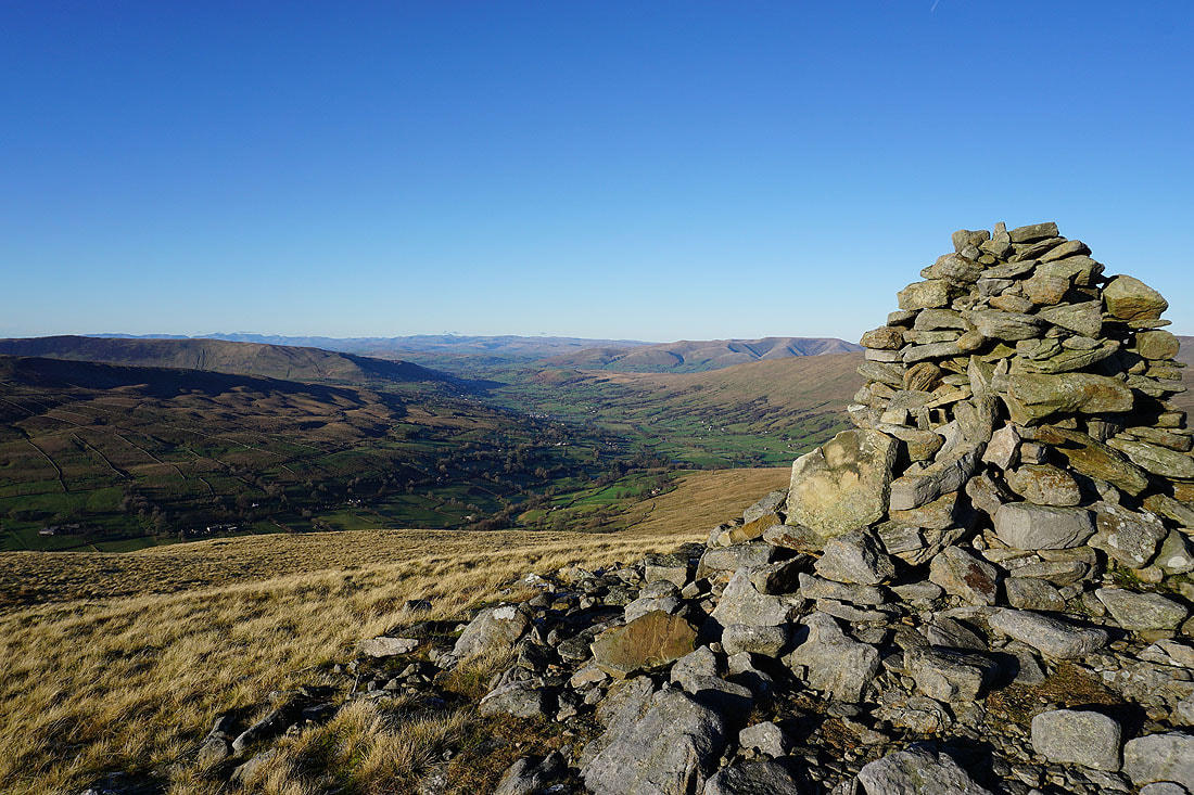
The arrival at this cairn is greeted with a fantastic view down Deepdale to Dentdale and beyond
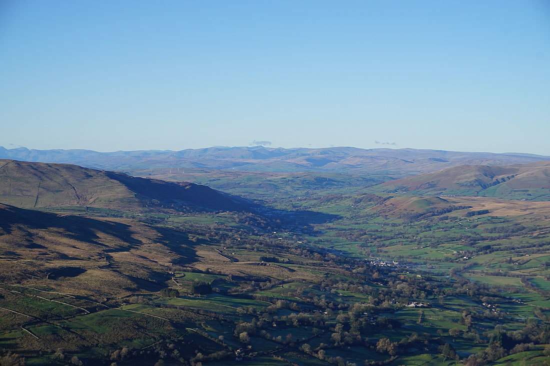
A zoom in along Dentdale to the eastern and far eastern fells of the Lakes. The pointy top with the bit of cloud above it is Helvellyn.
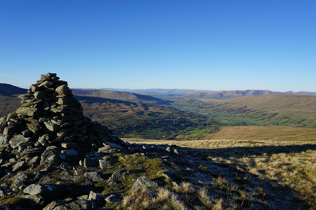
I think the view is better from this side of the cairn
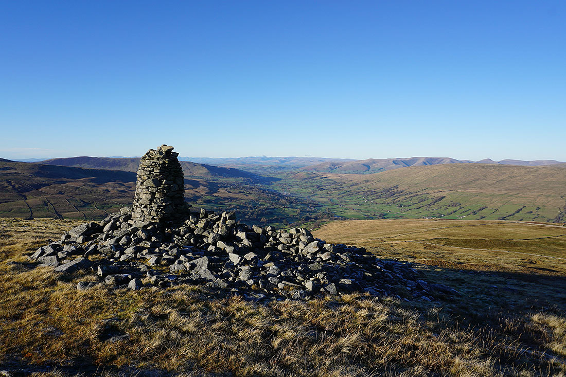
Another one a bit further north along the hillside offers just as good a view
Looking across Dentdale to a distant Great Shunner Fell and Great Knoutberry Hill
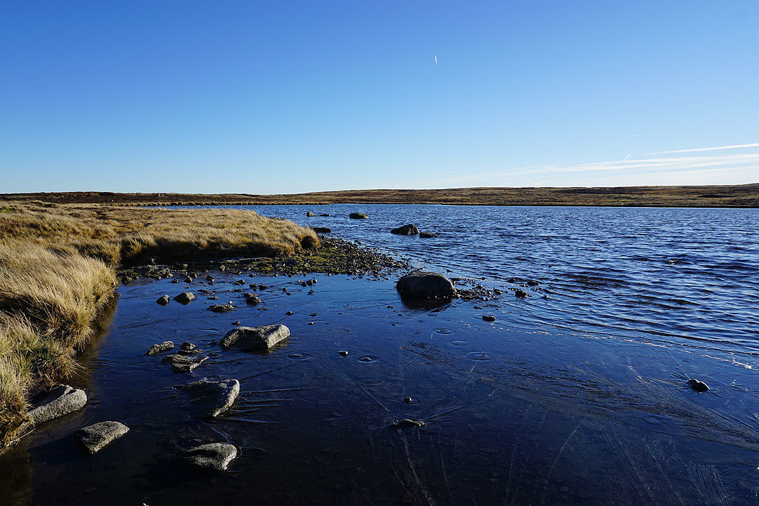
The frozen edge of one of the tarns
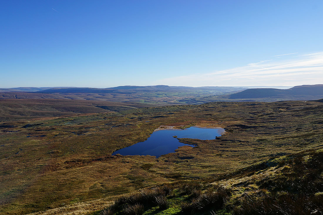
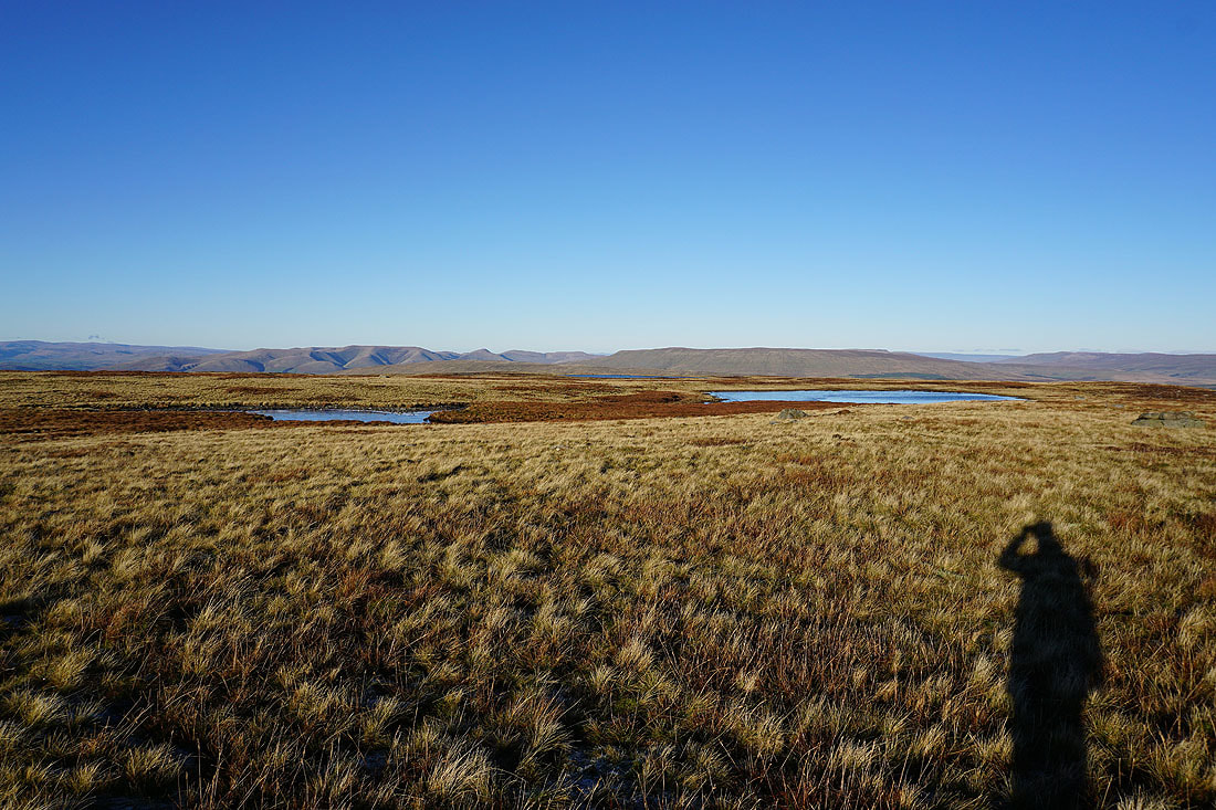
I couldn't resist taking a couple more photos of the tarns on the way back to the main path..
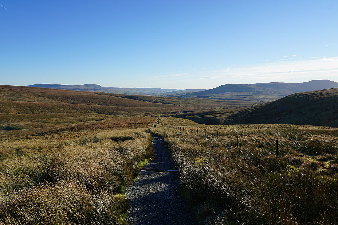
Heading down to Little Dale..
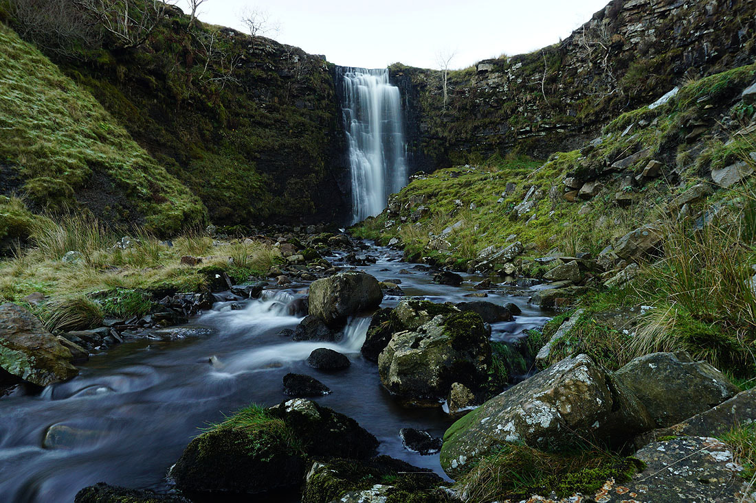
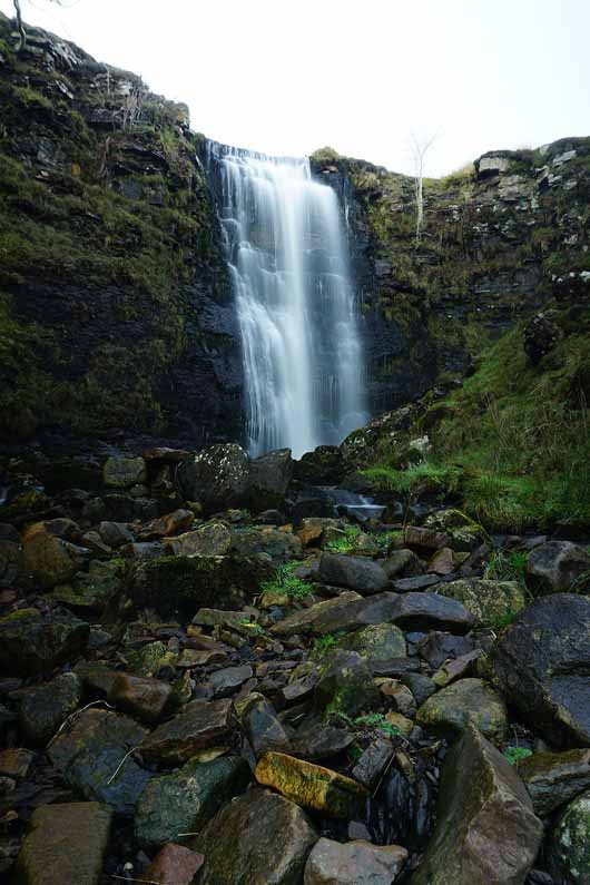
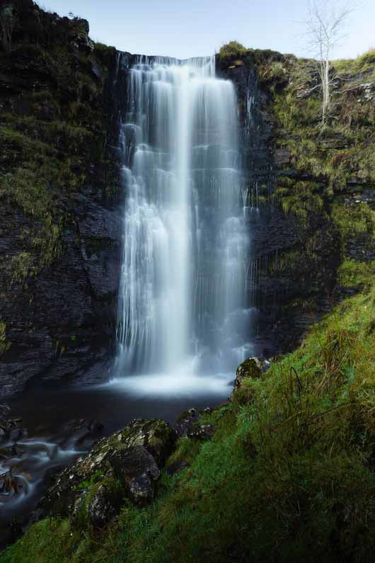
A worthwhile diversion to see the lower waterfall on Force Gill...
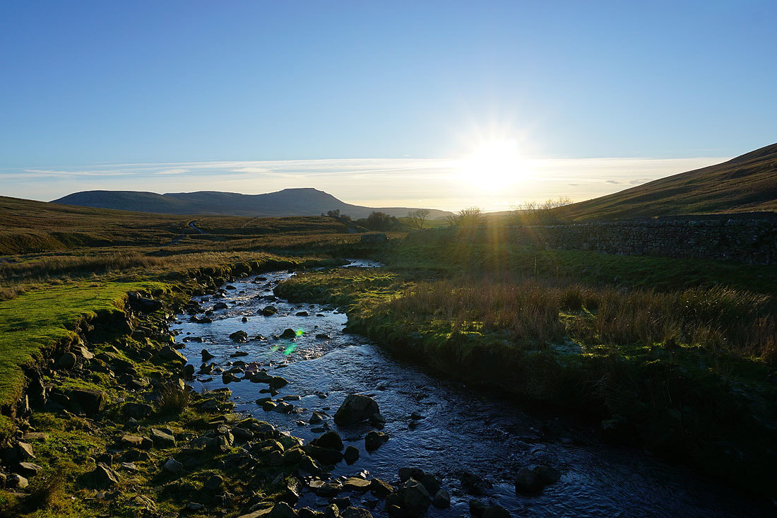
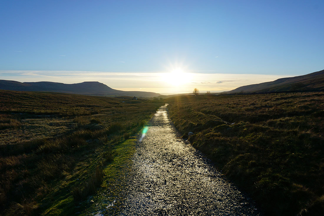
Ingleborough and setting sun..
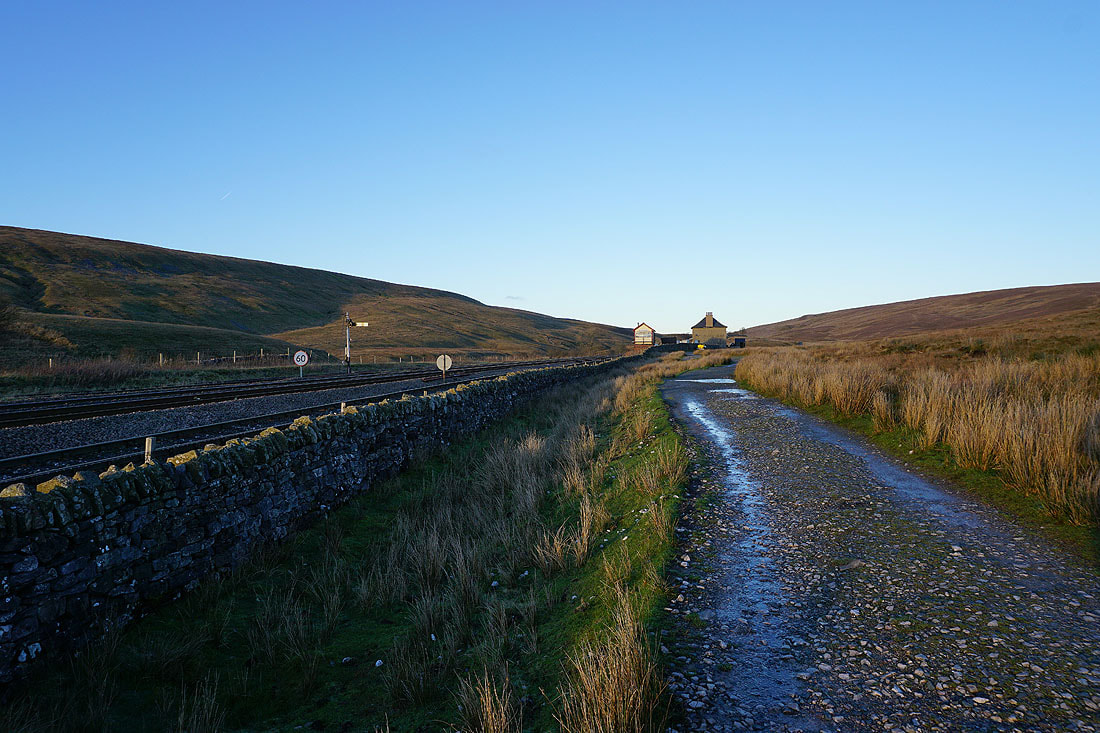
Past Bleamoor Sidings
Ingleborough and setting sun above the Settle to Carlisle line
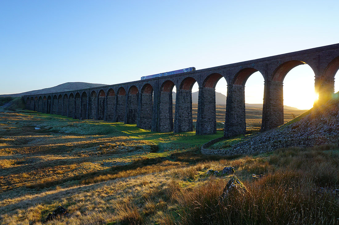
Approaching the Ribblehead Viaduct with Penyghent in the distance
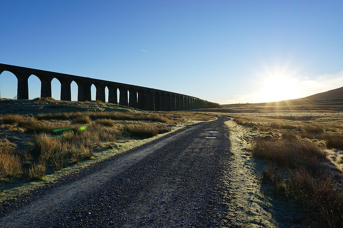
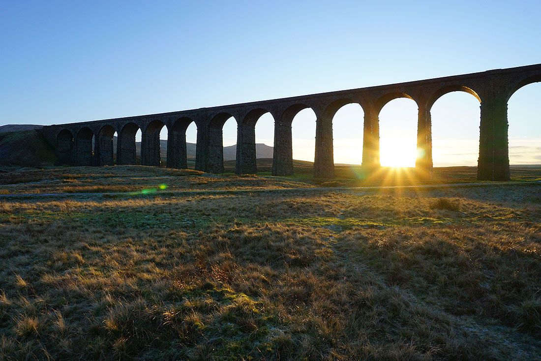
Sunset through the arches of the Ribblehead Viaduct..
A last shot looking back to Whernside and the Ribblehead Viaduct
