24th December 2022 - Cracoe Fell
Walk Details
Distance walked: 10.5 miles
Total ascent: 1689 ft
OS map used: OL2 - Yorkshire Dales, Southern & Western areas
Time taken: 6 hrs
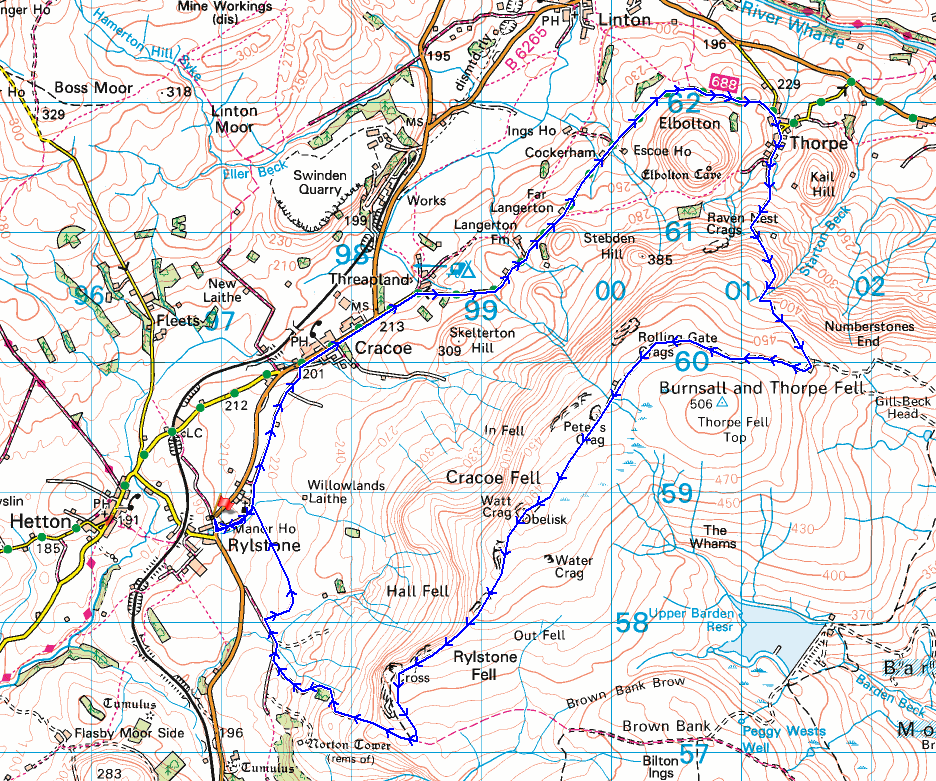
Route description: Rylstone-Chapel Lane-Cracoe-Thorpe Lane-Kail Lane-Thorpe-Burnsall Fell-Cracoe Fell-Rylstone Cross-Rylstone
Yesterday was my last day at work for this year. Hopefully there will be a few fine days between now and when I return to work on 3rd January, especially since I missed out on going for a walk last weekend, the weather was just too bad. The forecast isn't looking promising though and apart from today Boxing Day might be alright. For today's walk I decided to drive the short distance to Rylstone in the Yorkshire Dales, which the Skipton to Grassington road passes through, and do a route that would take me up onto Cracoe Fell, which is part of Barden Moor. I've walked along this edge of Barden Moor several times and it offers great views from its gritstone crags on a fine day. With hindsight I should have done this walk the other way round, taking to the crags of Cracoe Fell in the morning when there was a lot more sunshine. That said, it was a nice day and although the cloud increased during the afternoon the views from Cracoe Fell were still good.
After parking in the layby on the B6265 through Rylstone I crossed the road and took the lane to St. Peter's Church, then from there the bridleway along the track of Chapel Lane to Cracoe. After walking by the B6265 through Cracoe I reached Thorpe Lane, which I then walked along to its end, turned right and walked down Kail Lane into the village of Thorpe. I kept right when I reached the village green and walked south along the lane to its end, and then took the track up the hillside, and then path to reach Burnsall Fell and the shooting hut by the track along its edge, where I stopped for lunch. After this break I then made my way west along the track to its end, and from there followed the path to the war memorial on Cracoe Fell. After taking in the view I made my way southwest along the edge of the moor, keeping on the western side of the wall to reach Rylstone Cross, then from there crossed the stile over the wall and followed the path down to the bridleway from Rylstone across Embsay Moor. I turned right and followed the bridleway down to St. Peter's Church and then back into Rylstone.
Route map
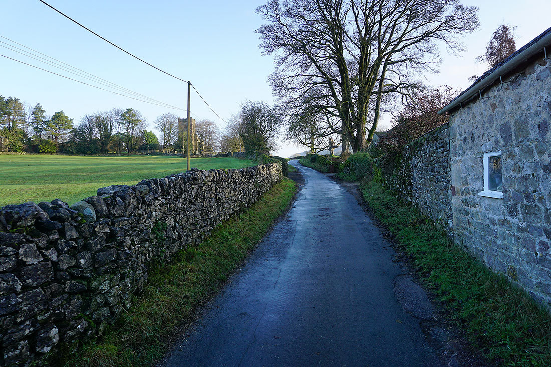
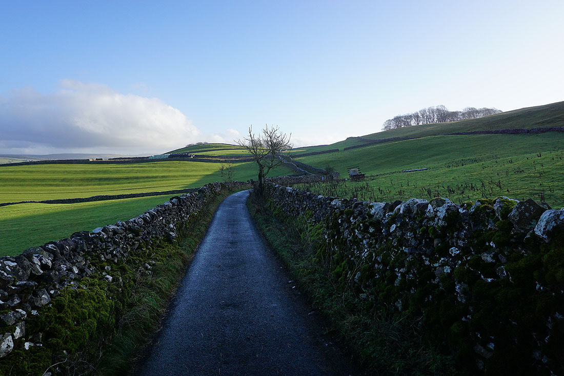
I leave Rylstone by walking along the lane to St. Peter's Church
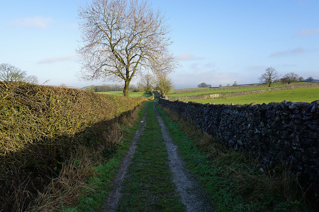
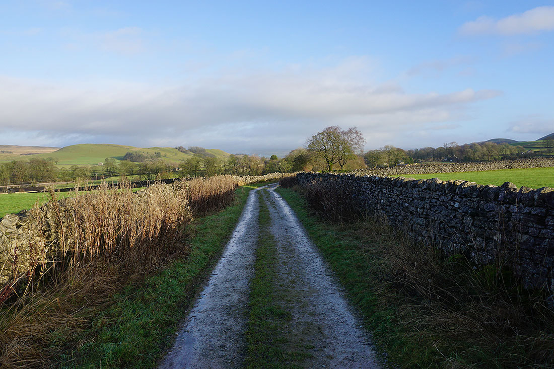
and then I take the track of Chapel Lane to Cracoe
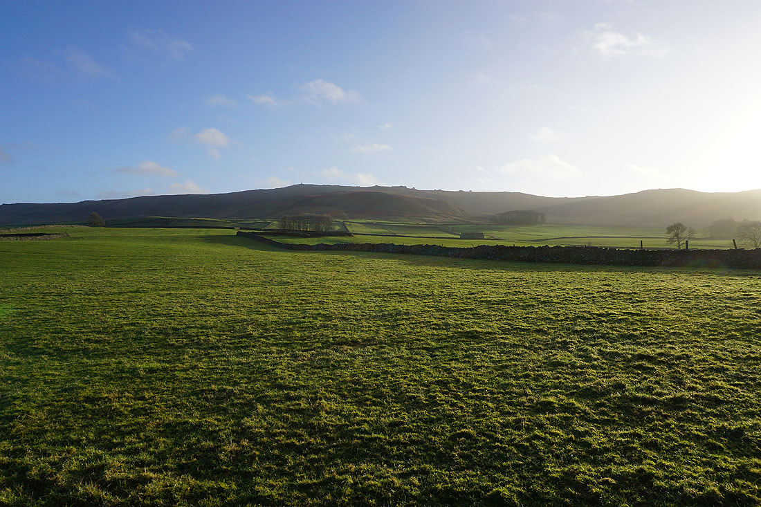
The crags of Cracoe Fell above me
Walking down Chapel Lane into Cracoe
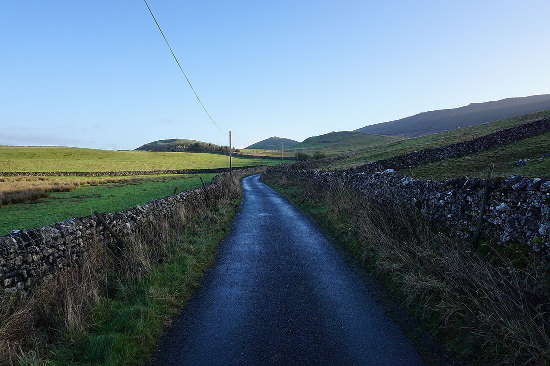
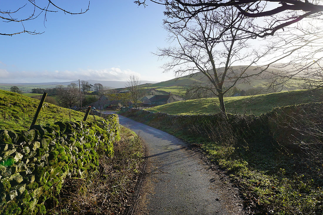
From Cracoe I take Thorpe Lane and follow it east towards the hamlet of Thorpe...
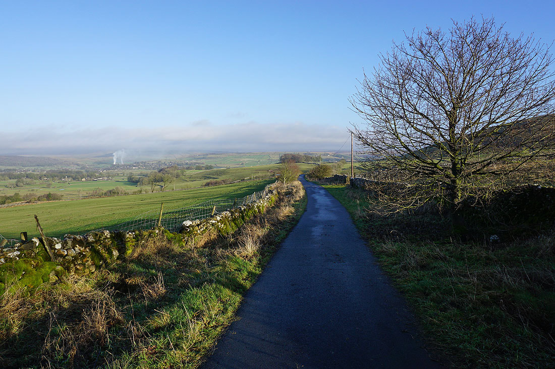
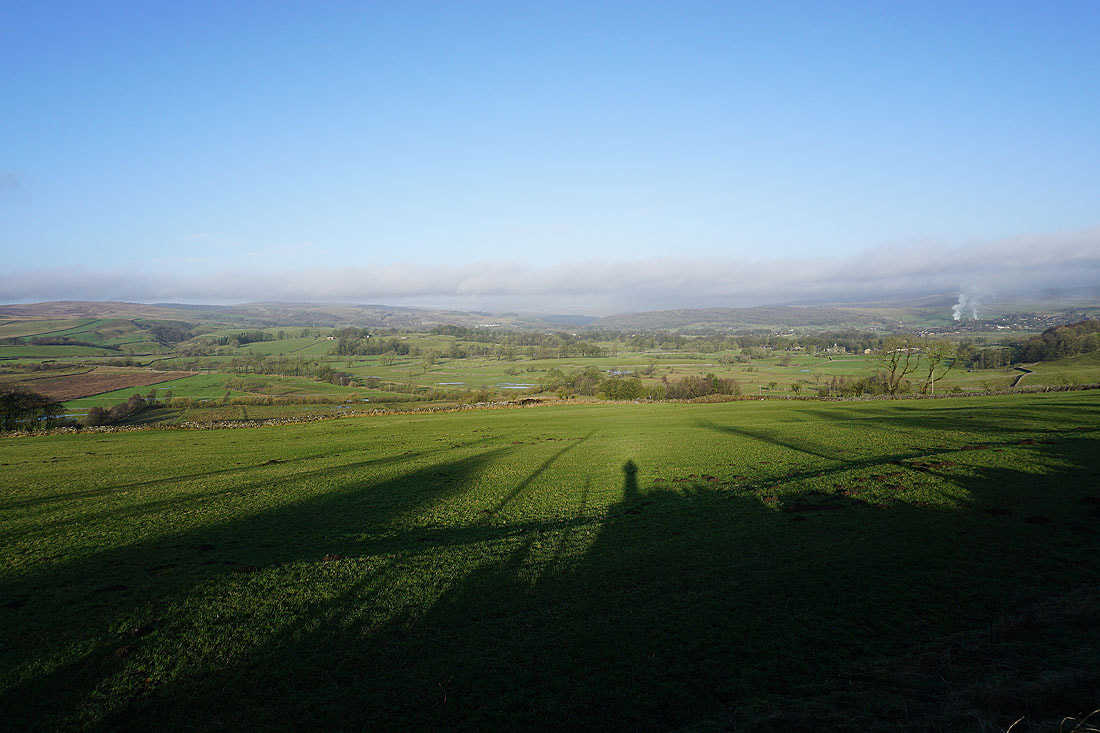
After passing Far Langerton the view opens up to my left up Wharfedale to Threshfield, Grassington, and the surrounding moors...
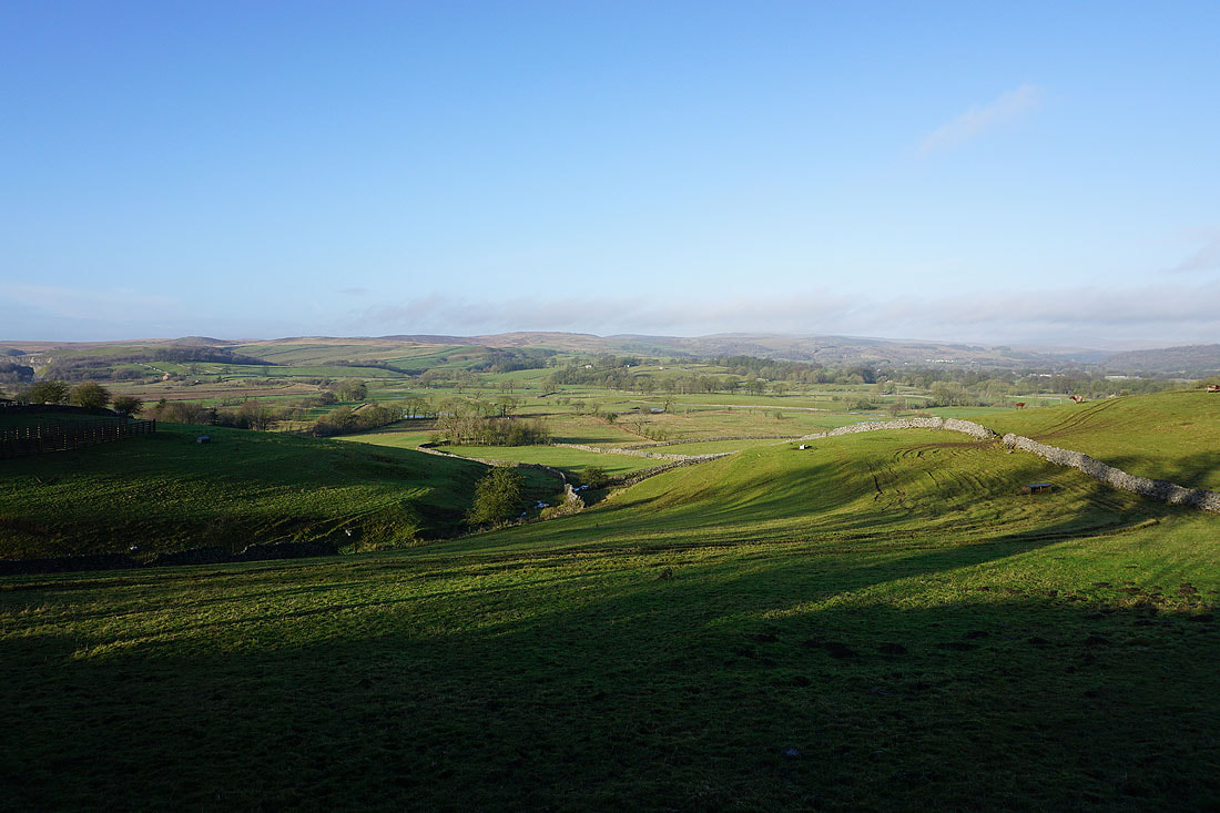
Further on and I can see Care Scar and Mossy Moor above Hebden on the other side of Wharfedale
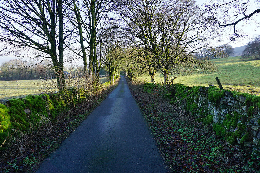
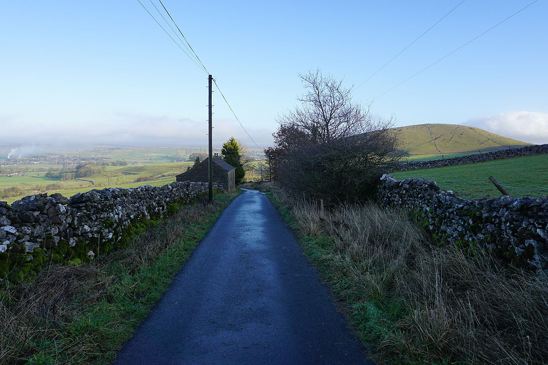
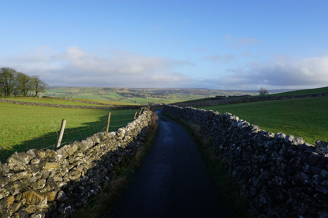
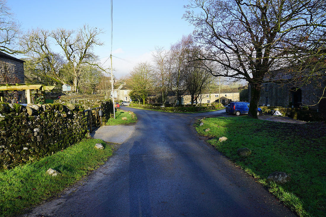
Walking down Thorpe Lane into the hamlet of Thorpe..
In the hamlet of Thorpe
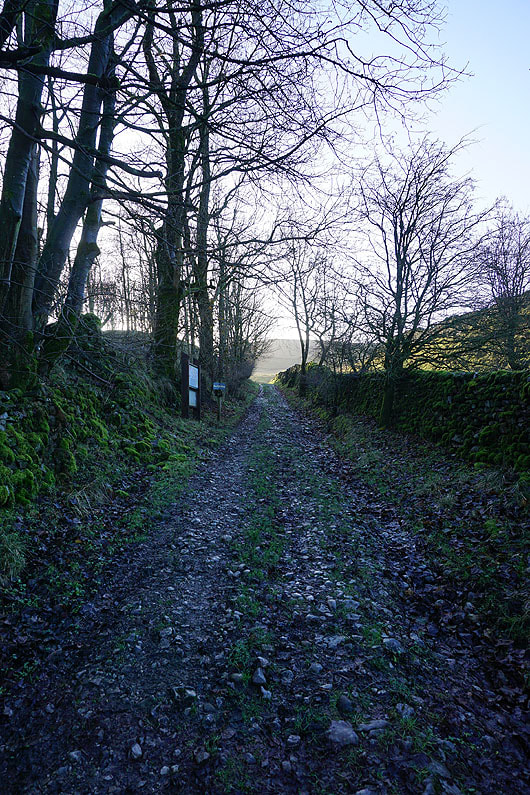
Leaving Thorpe I take the track up onto Burnsall Fell
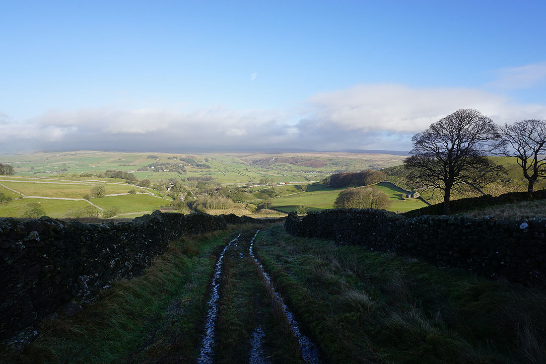
Looking back down the track and across Wharfedale
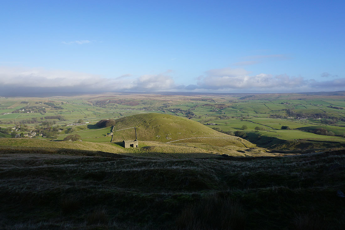
and down on the limestone knoll of Kail Hill, with Mossy Moor and Hebden Moor on the other side of Wharfedale
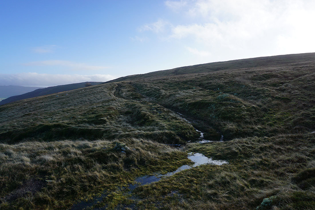
There's a clear path to follow up the moor
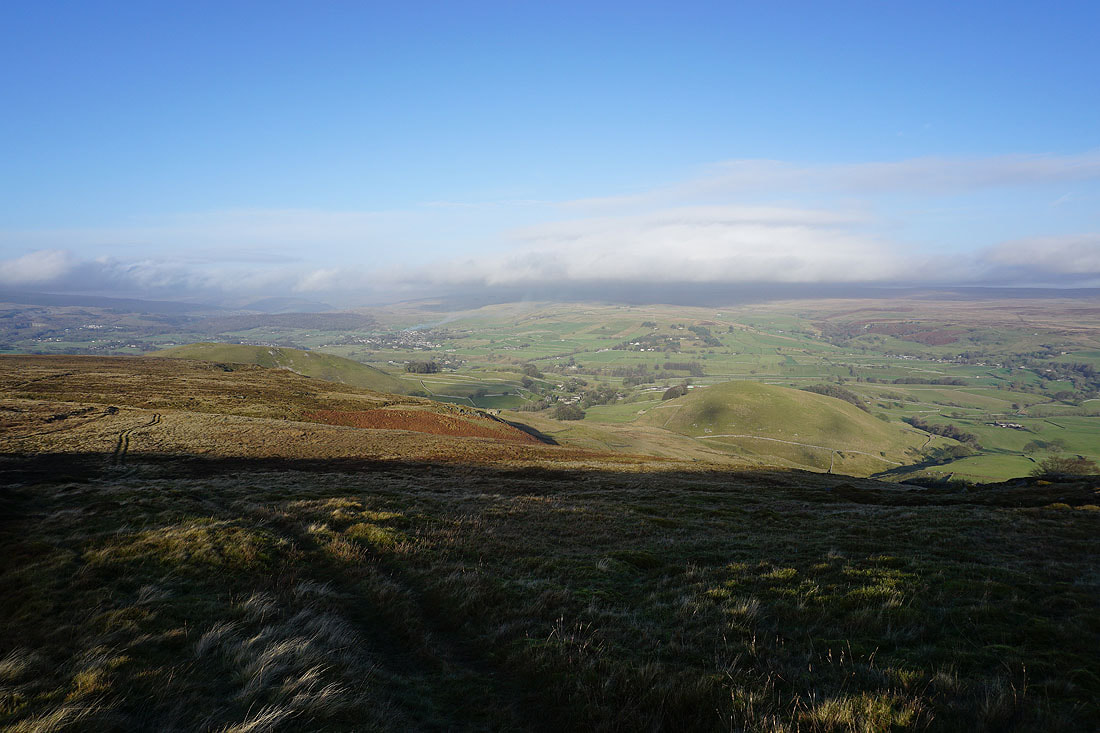
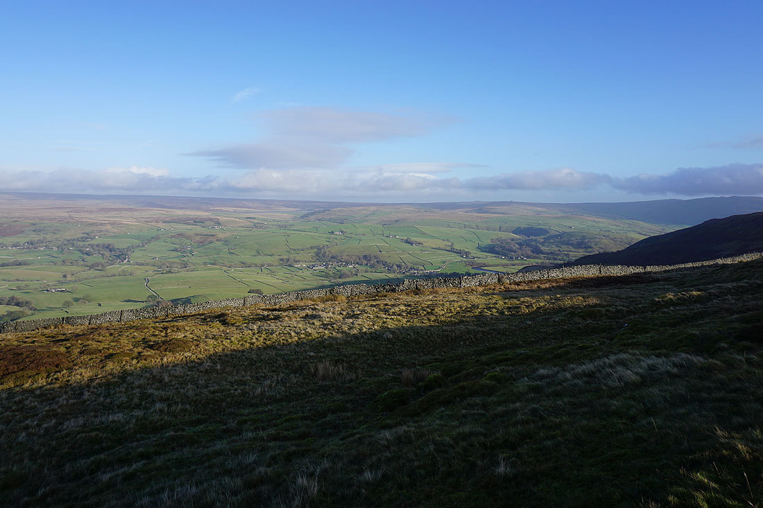
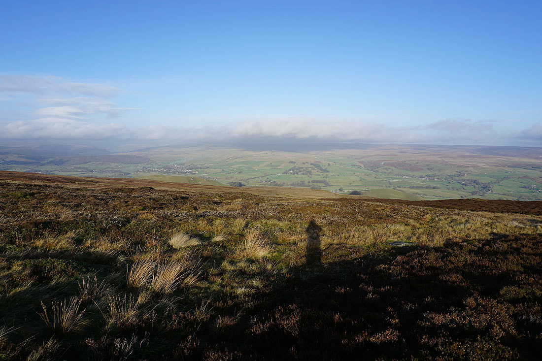
Higher up and I have a view up Wharfedale to Grassington, with Great Whernside under the cloud on the right..
..and across to the village of Burnsall, Langerton Hill, Hebden Moor, and Appletreewick Pasture
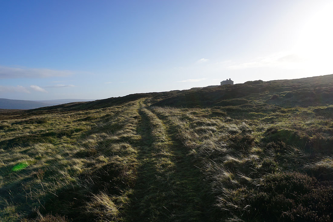
The shooter's hut at the top of the path appears ahead. It's time for lunch.
The view from my lunch stop by the shooter's hut. Appletreewick Pasture and Simon's Seat on the other side of Wharfedale beyond Numberstones End.
Looking down Wharfedale to Beamsley Beacon and Ilkley Moor
Grassington, Grassington Moor, and Hebden, with Great Whernside under cloud
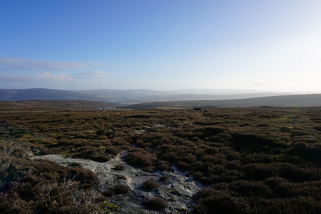
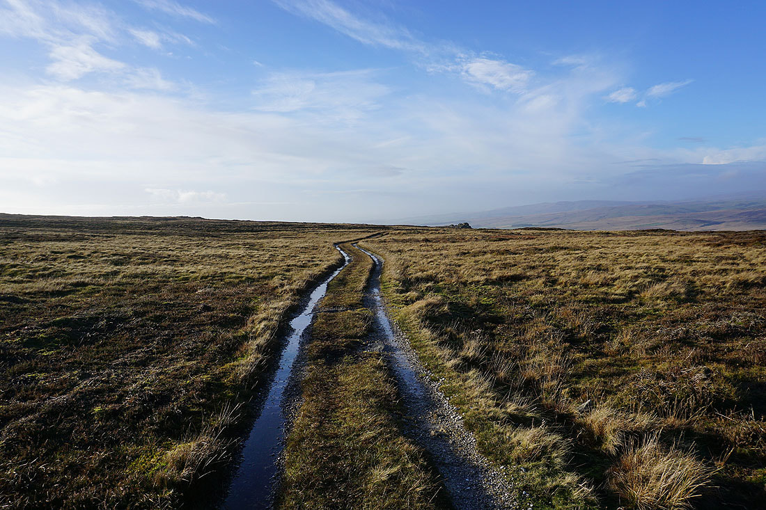
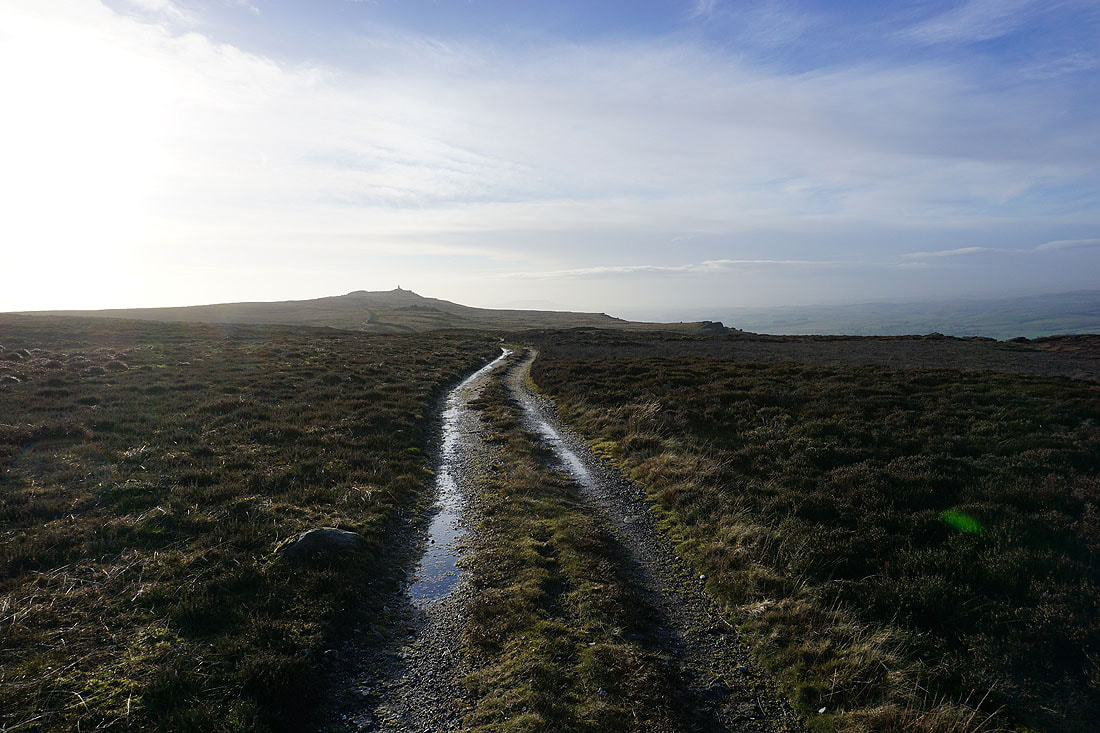
From the shooter's hut I follow the track west towards the war memorial on Cracoe Fell..
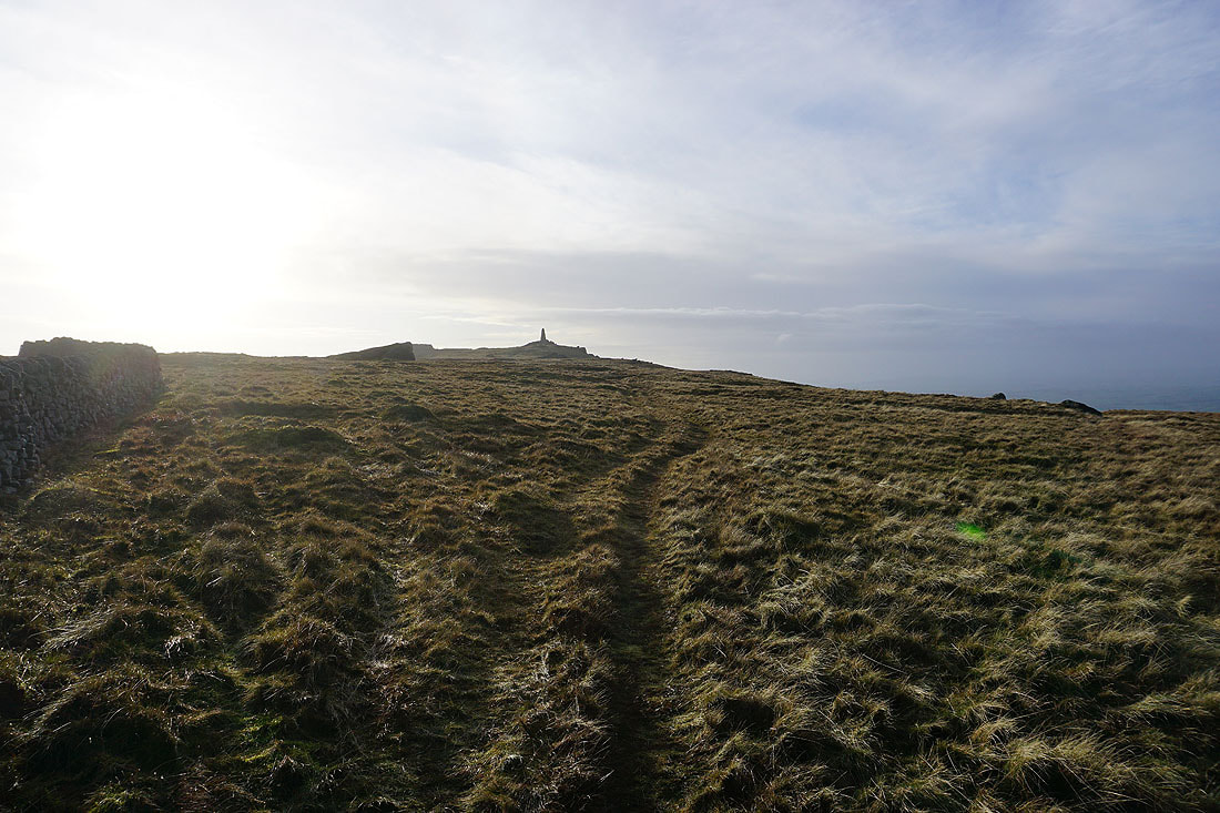
Approaching the war memorial on Cracoe Fell
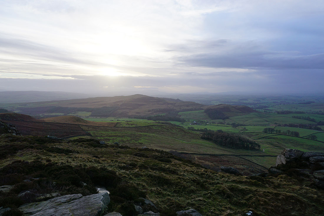
Pendle Hill in the distance to the southwest
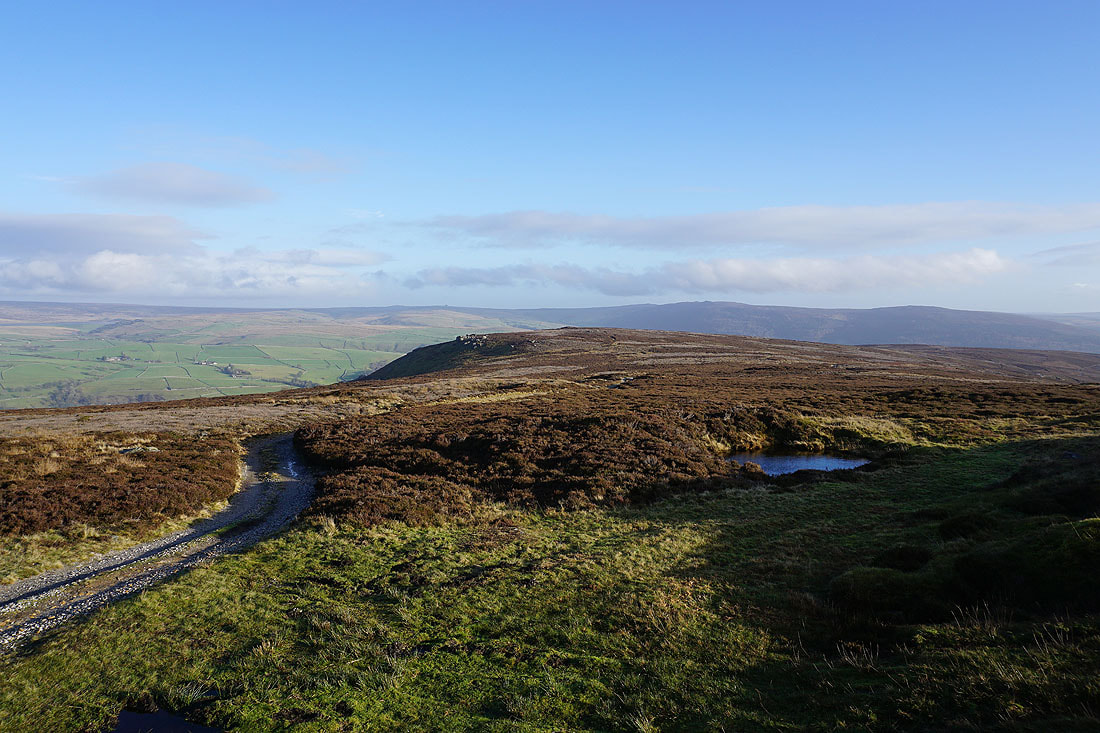
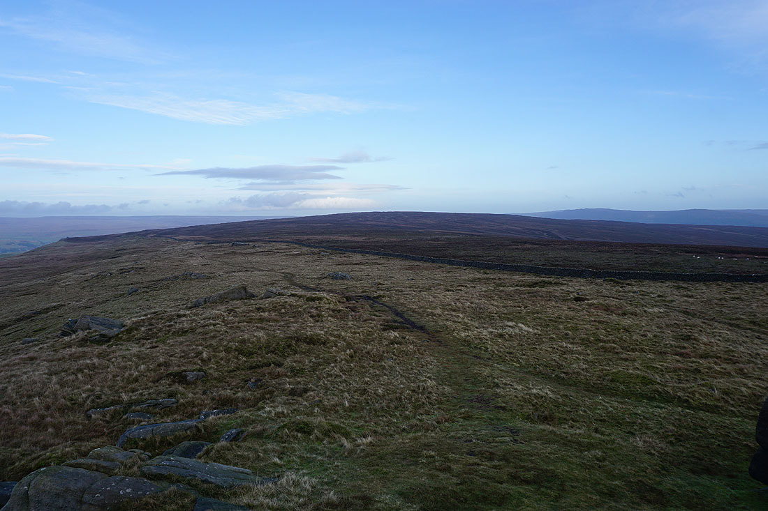
Burnsall Fell, the high point on the moorland expanse of Barden Moor
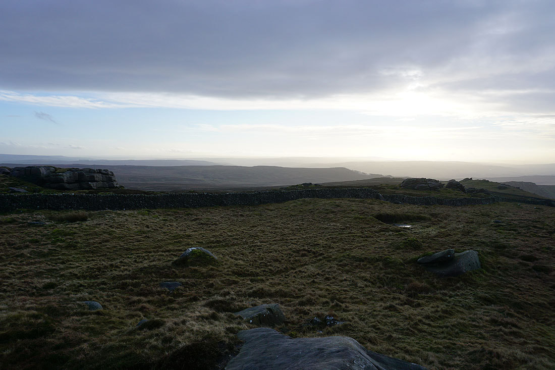
More of Barden Moor to the south on the other side of the wall. Embsay Moor and Crookrise Crag Top.
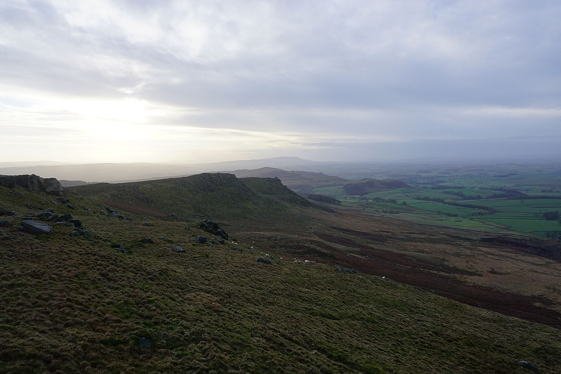
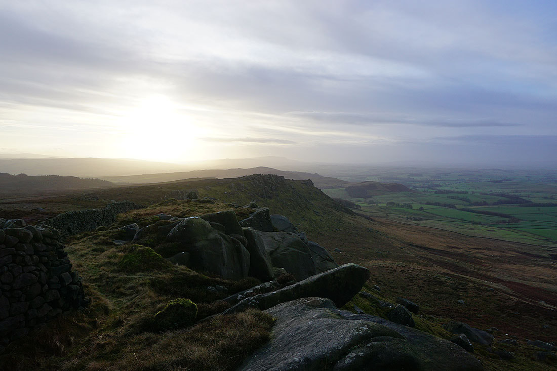
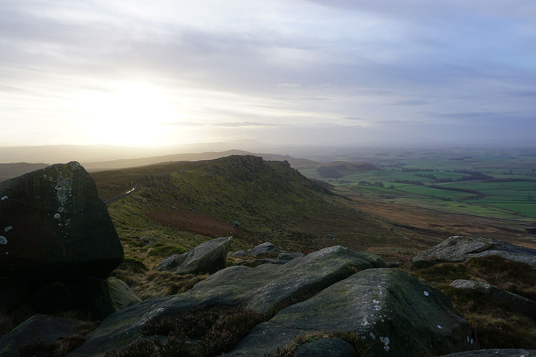
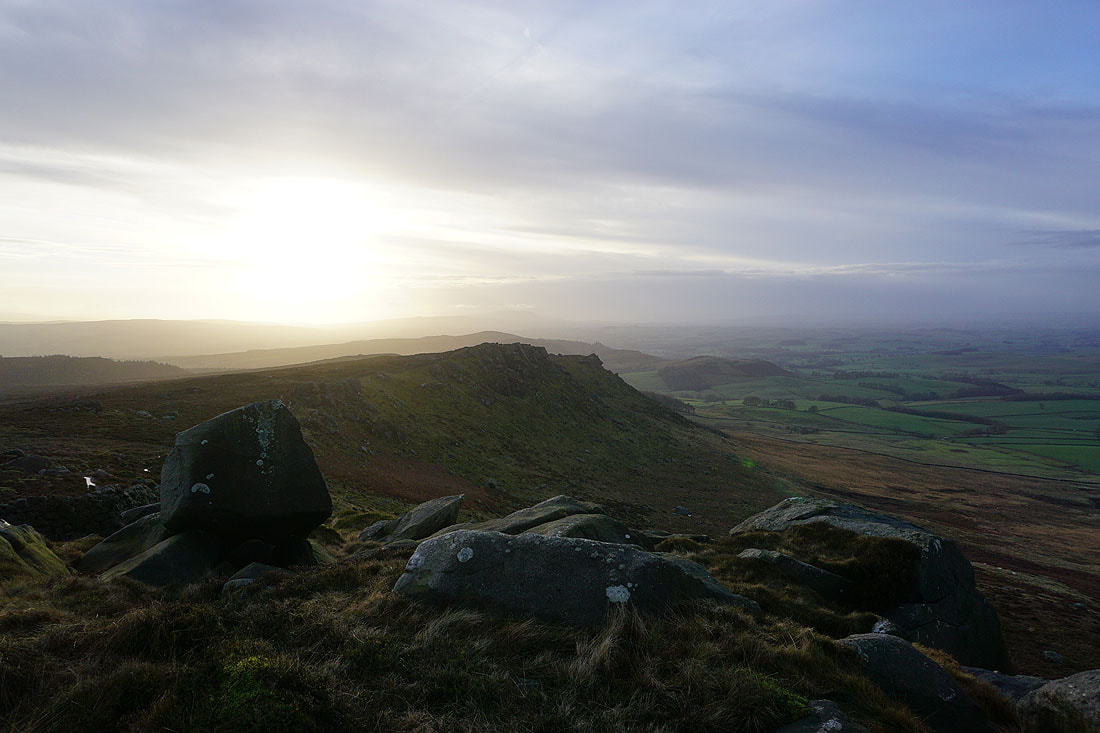
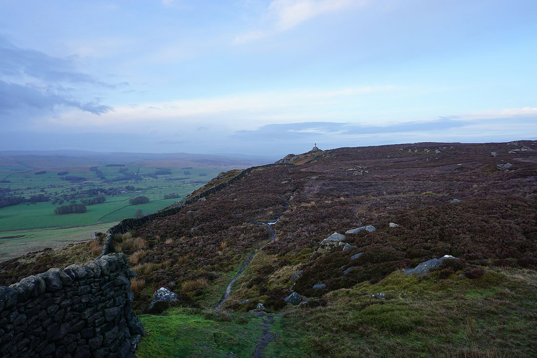
Leaving the war memorial I follow the crags southwest towards Rylstone Cross. I should have done this walk the other way round so that I had the sunshine of the morning for this part of it.
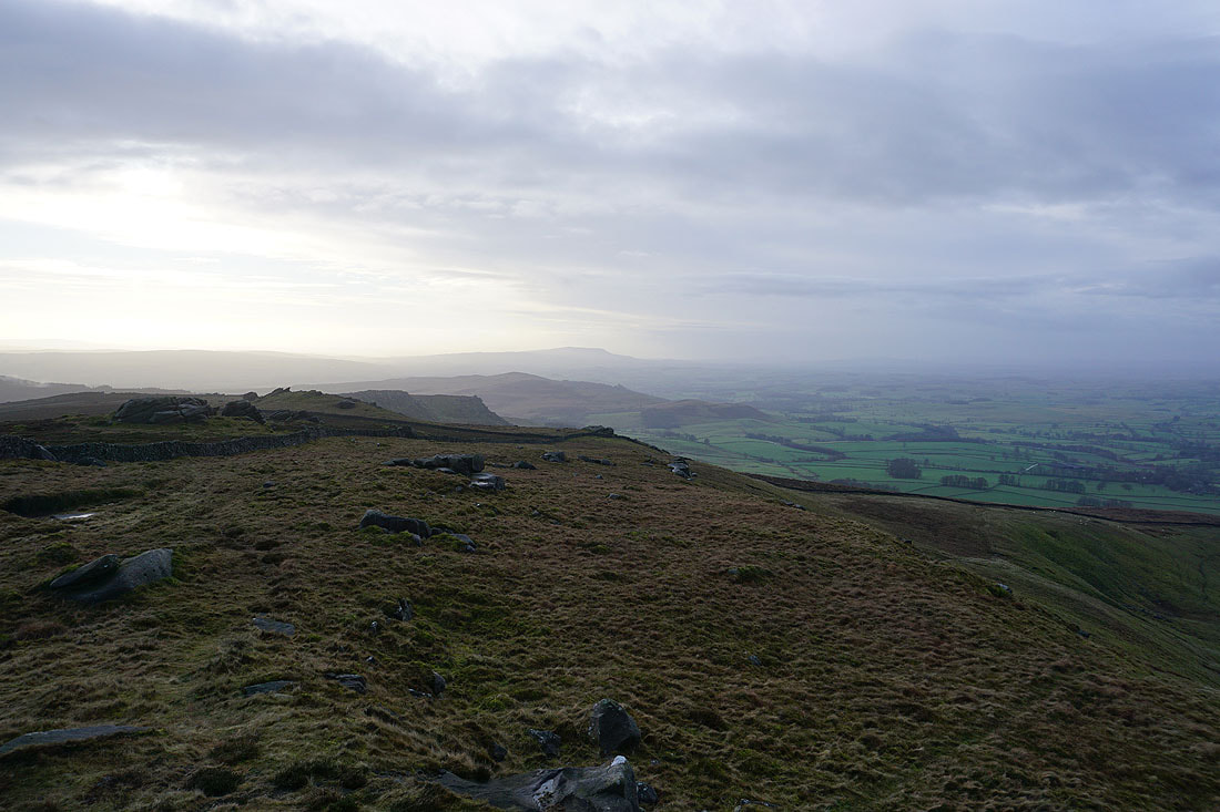
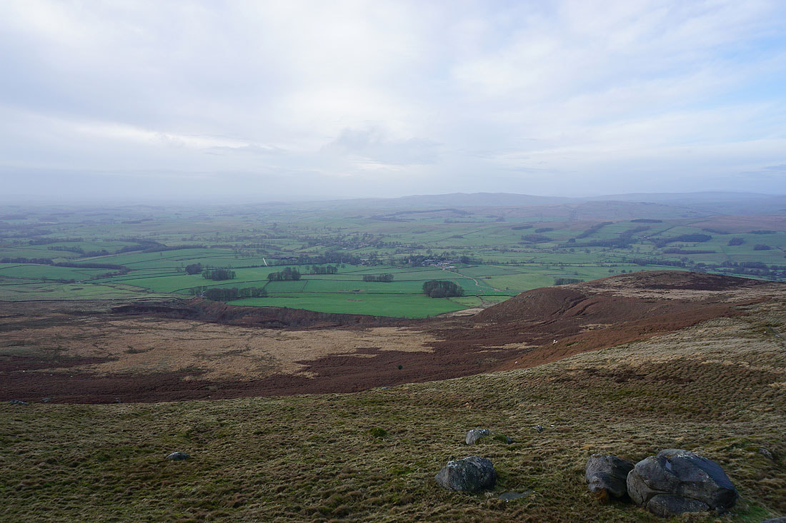
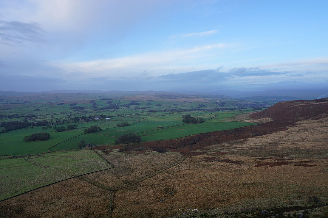
To my right, Hetton and Rylstone in the valley below, with Winterburn Moor, Weets Top, Rye Loaf Hill and Kirkby Fell in the distance
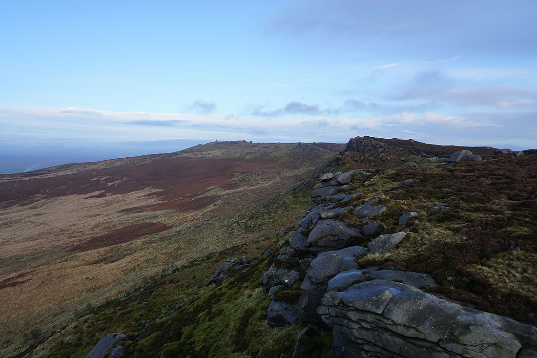
The crags on this part of the fell provide plenty of photo opportunities...
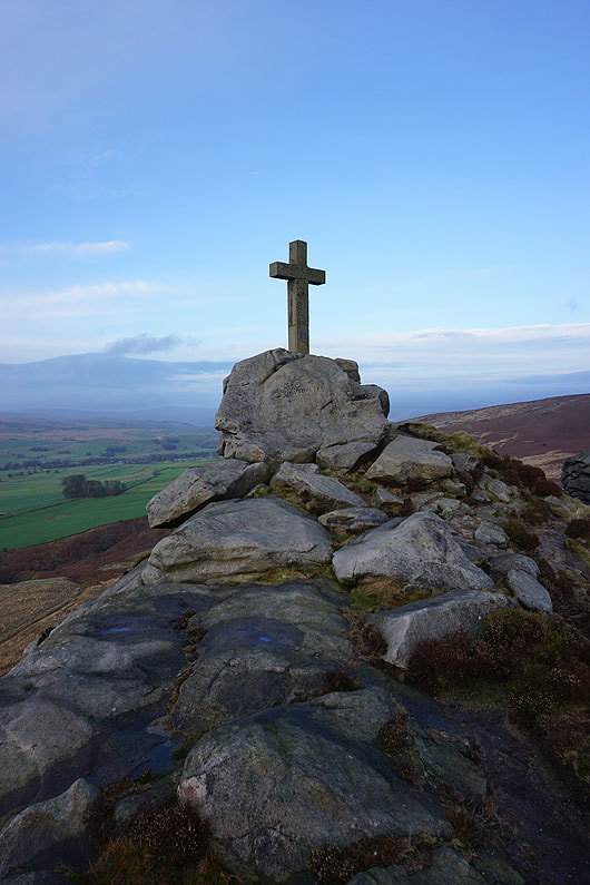
At Rylstone Cross
Pendle Hill just about visible in the distance beyond Flasby Fell
Looking north to Boss Moor and Threshfield Moor, with Proctor High Mark in the distance, and Buckden Pike and Great Whernside on the right
Looking back up the crags of Cracoe Fell to the war memorial
and back to Rylstone Cross as I follow the path..
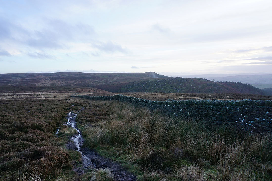
..along the edge of the moor towards Waterfall Gill and the bridleway back to Rylstone
Looking over the wall to my right, a hazy outline of Pendle Hill in the distance behind Flasby Fell
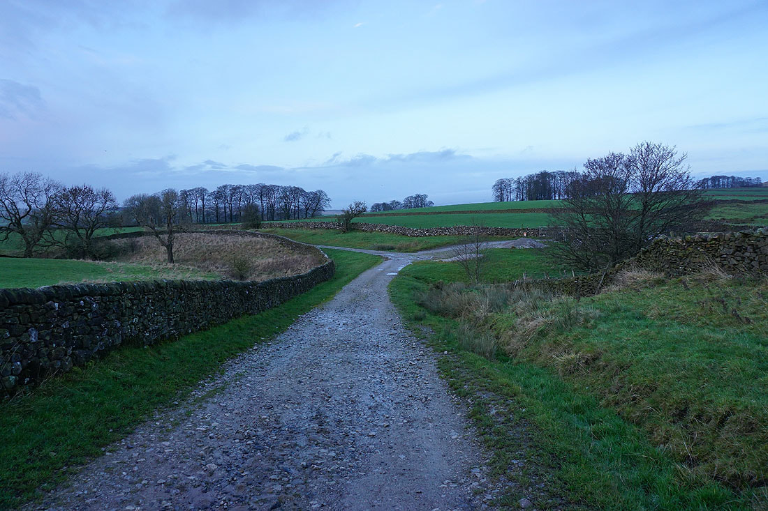
On the bridleway back to Rylstone..
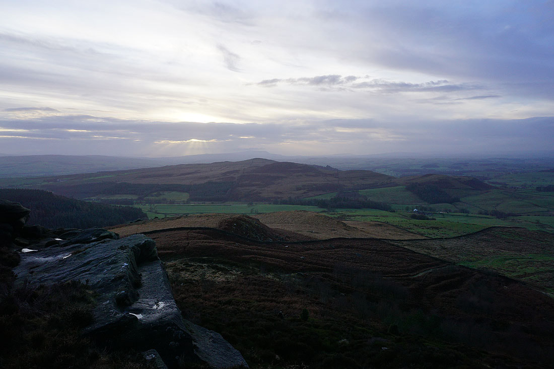
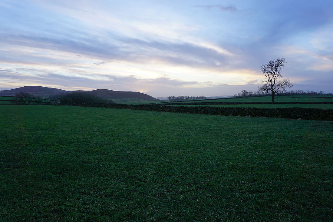
The setting sun gives a bit of colour to the sky
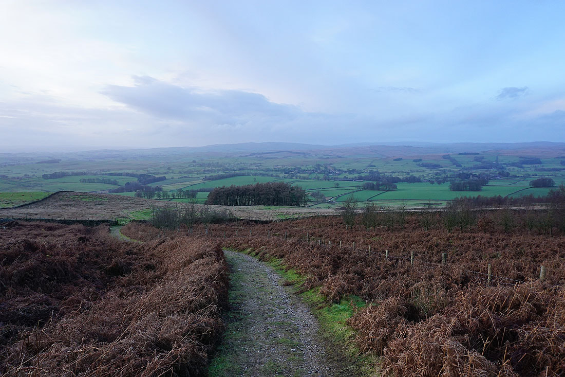
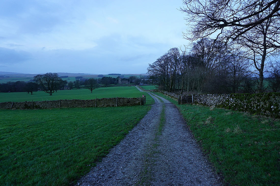
On the bridleway to St. Peter's Church in Rylstone, and from there I'll retrace my steps back to the layby on the B6265
