24th February 2013 - Holmepark Fell & Farleton Fell
Walk Details
Distance walked: 7.1 miles
Total ascent: 899 ft
OS map used: OL7 - The English Lakes, South-eastern area
Time taken: 5 hrs (I did spent some time on the top of Holmepark Fell though)
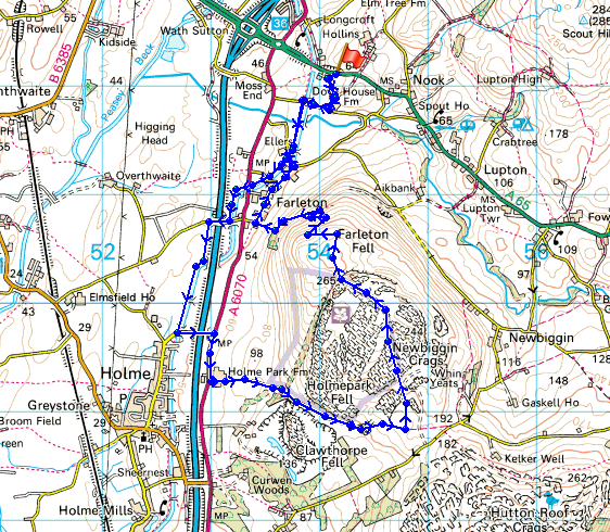
Route description: Layby on A65-Dove House Farm-Dovehouses Bridge-Lancaster Canal-Duke's Bridge-Lancaster Canal-A6070-Holme Park Farm-Limestone Link-Holmepark Fell-Farleton Knott-Farleton Fell-Townend Farm-Farleton-Lancaster Canal-Dovehouses Bridge-Dove House Farm-Layby on A65
Goodness knows how many times I've driven past this hill. Well, next time I do, I can be content in the knowledge that I've done it and I know what the view is like from the top. I'll definitely be visiting it again but I'm going to try and work out a route of approach from the east so that the noise of the M6 can be minimized.
I started the walk from a layby on the A65 about half a mile east of J36 of the M6. From the layby I crossed a stile to walk across fields to Dove House Farm. A little bit of road walking brought me to Dovehouses Bridge and the towpath of the Lancaster Canal. This section of the canal is unnavigable due to it being severed in several places by roads being built across it.
I followed the towpath to the village of Holme where I left it for a bit more road walking under the M6 and along the A6070 to reach Holme Park Farm. The Limestone Link path was used before the limestone pavement of Holmepark Fell was crossed to reach the top. My route back took in Farleton Knott before heading down Farleton Fell to reach the hamlet of Farleton. The towpath of the canal was reached and I retraced my steps back to the layby.
Route map
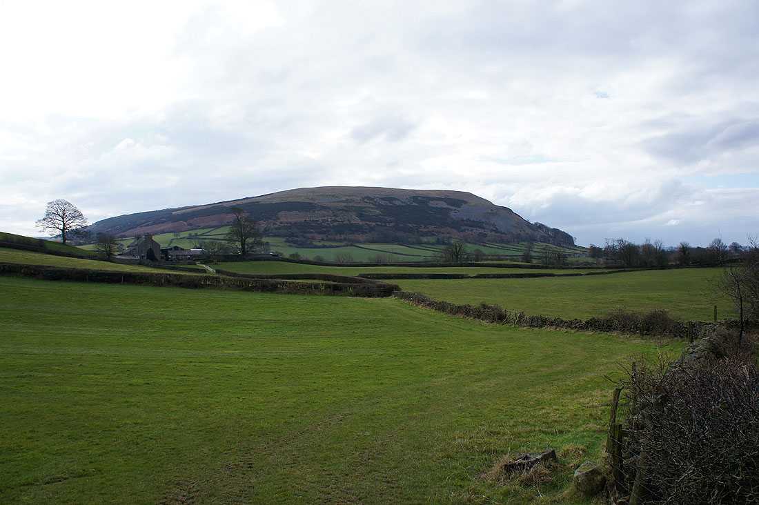
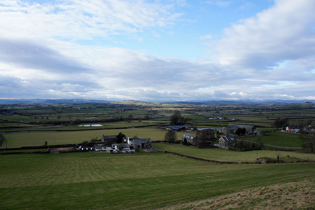
I've parked in the layby on the A65 and this is the view of Farleton Fell ahead as I cross a stile at the start of the walk
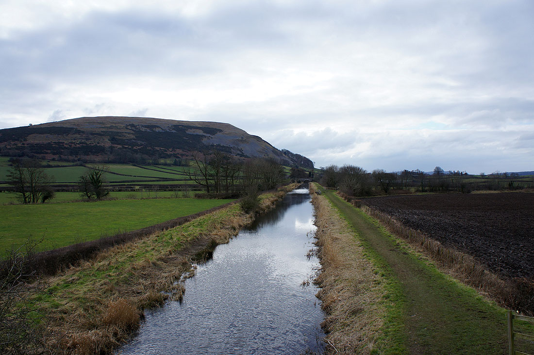
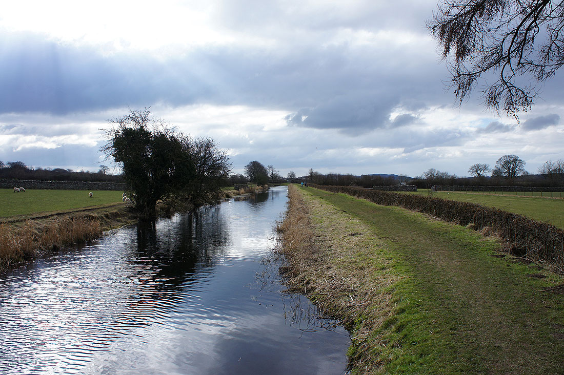
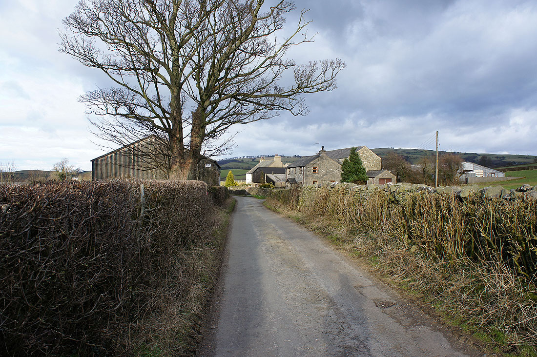
The Lancaster Canal from Dovehouses Bridge. I accessed the towpath on the right.
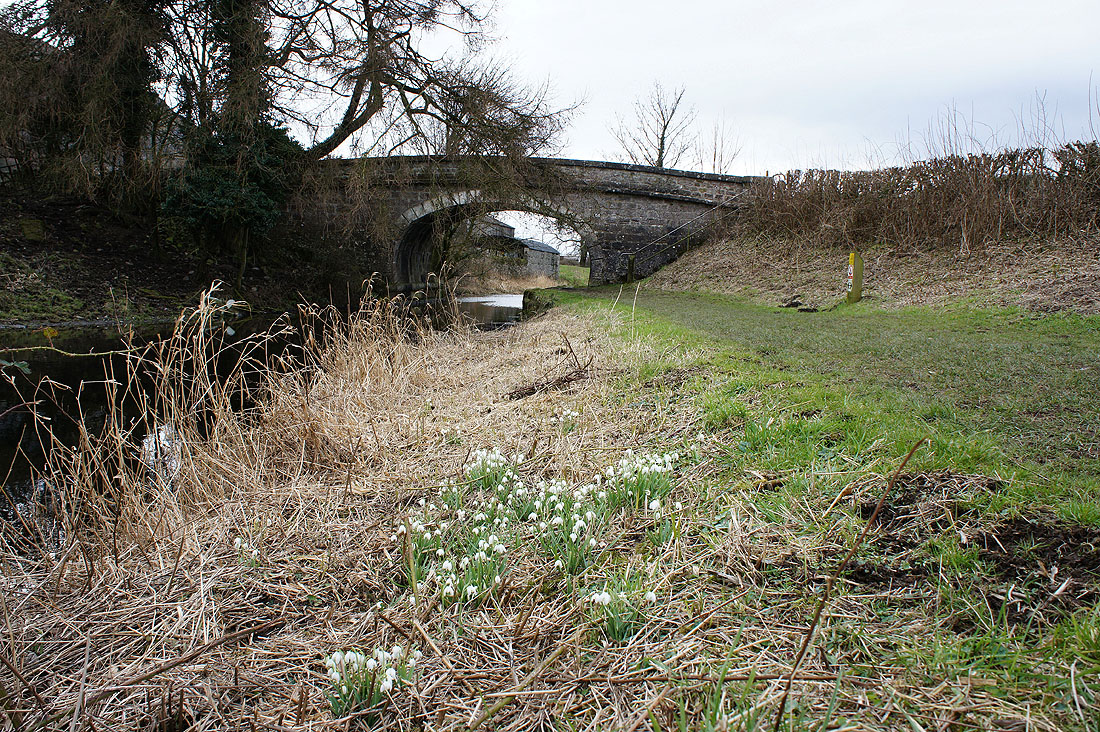
There were snowdrops aplenty by the towpath
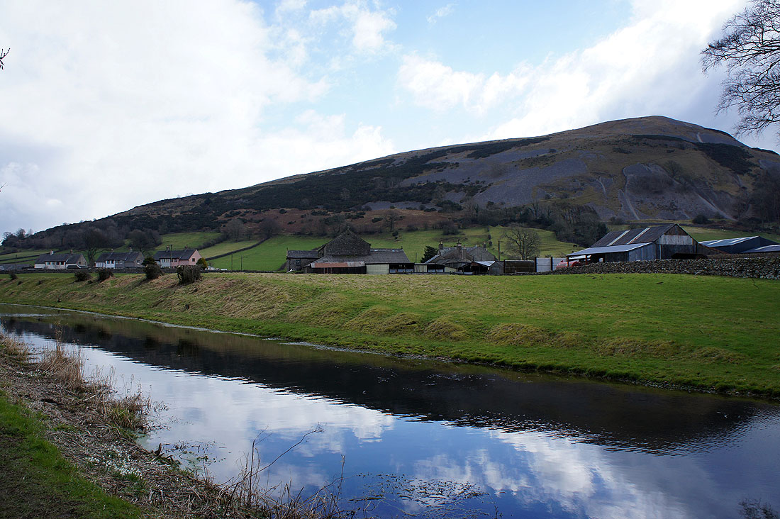
Farleton Fell with the hamlet of Farleton
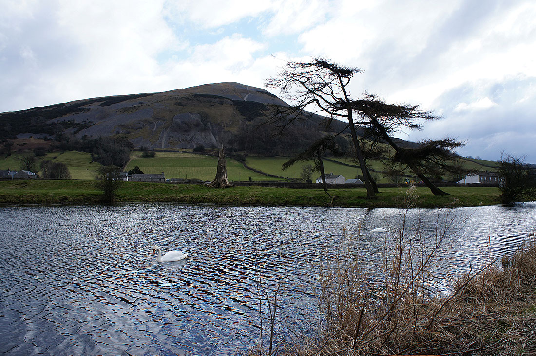
The leaning trees on the right caught my attention
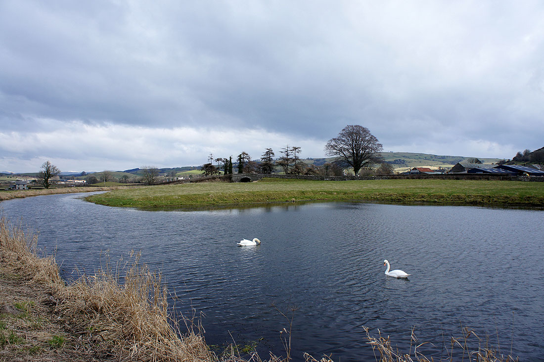
Canalside scenery. Those swans are the same two as in the previous picture.
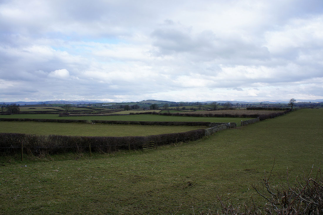
I've crossed the M6 for the final stretch by the canal. There is an unobstructed view out to the west now though with glimpses of the Lakeland fells.
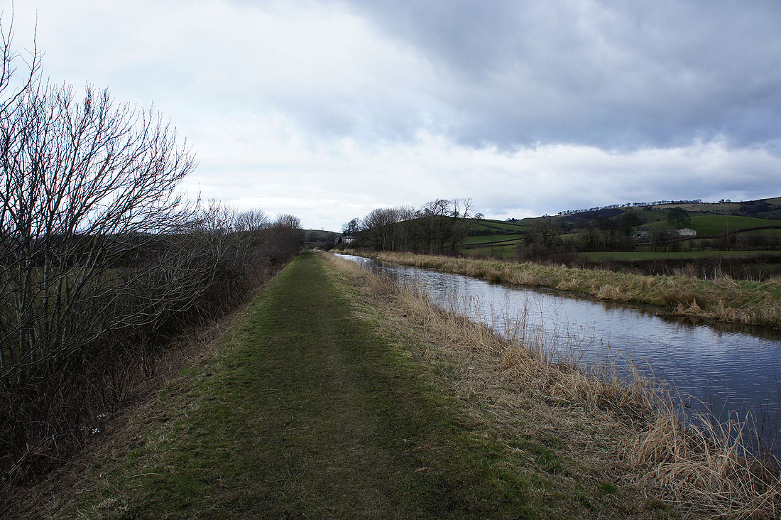
One last shot from by the Lancaster Canal
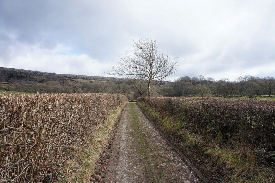
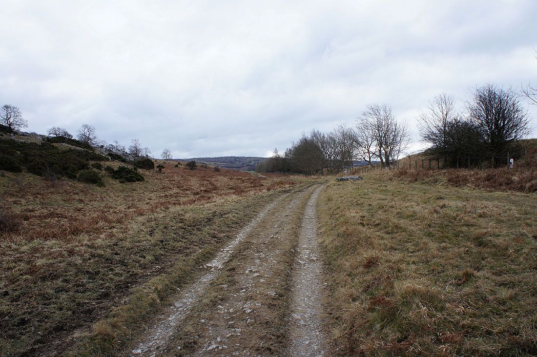
A bit of road walking along the A6070 brought me to Holme Park Farm. I went through the farmyard to pick up this track, the "Limestone Link", that heads for Holmepark Fell.
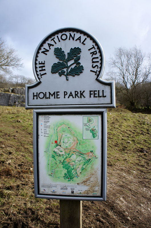
Entering the access land of Holmepark Fell. Along with neighbouring Hutton Roof Crags and Dalton Crags there are several nature reserves on these important areas of limestone pavement.
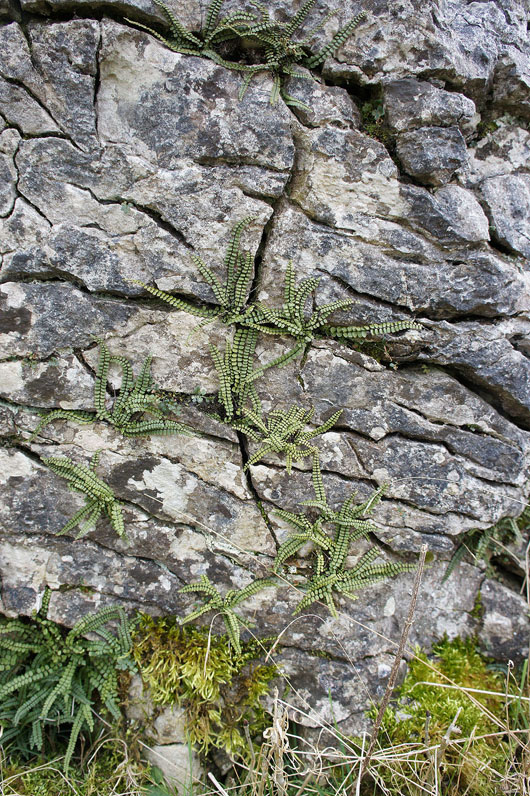
While I was sat having a drink I noticed this limestone face. The pattern of cracks in the rock with the ferns growing out of them was begging to have their picture taken.
On the "Limestone Link"
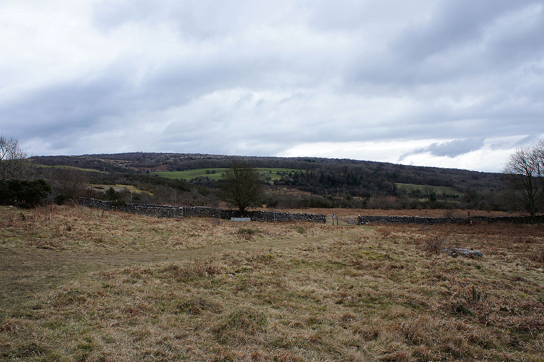
The "Limestone Link" continues through the gate in the wall to pass under Hutton Roof Crags. It's time for me to head up Holmepark Fell though.
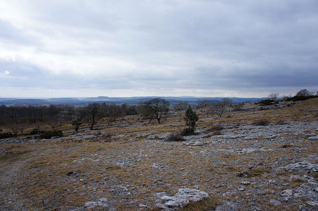
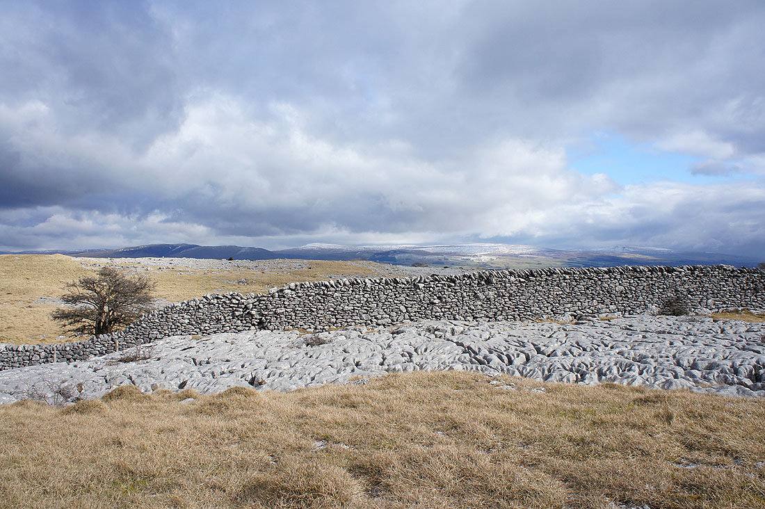
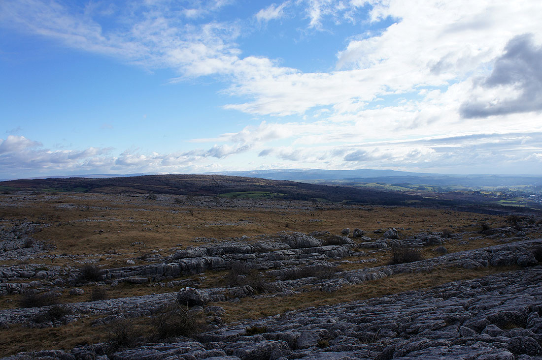
Just a small part of the extensive limestone pavement on Holmepark Fell
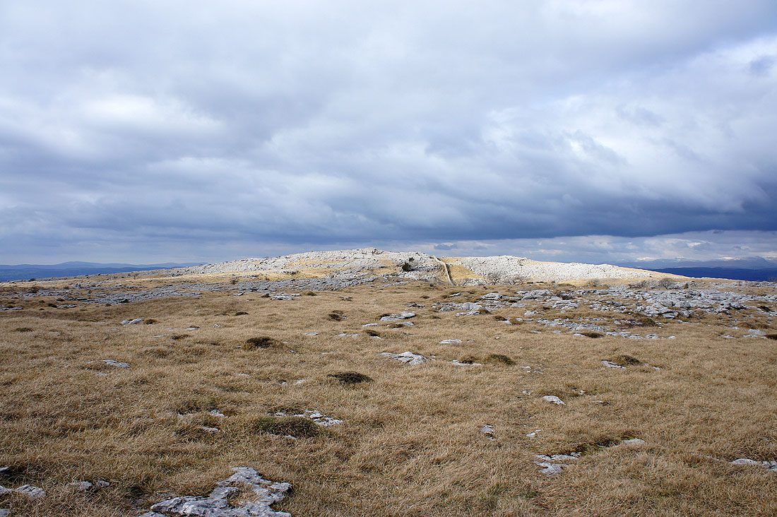
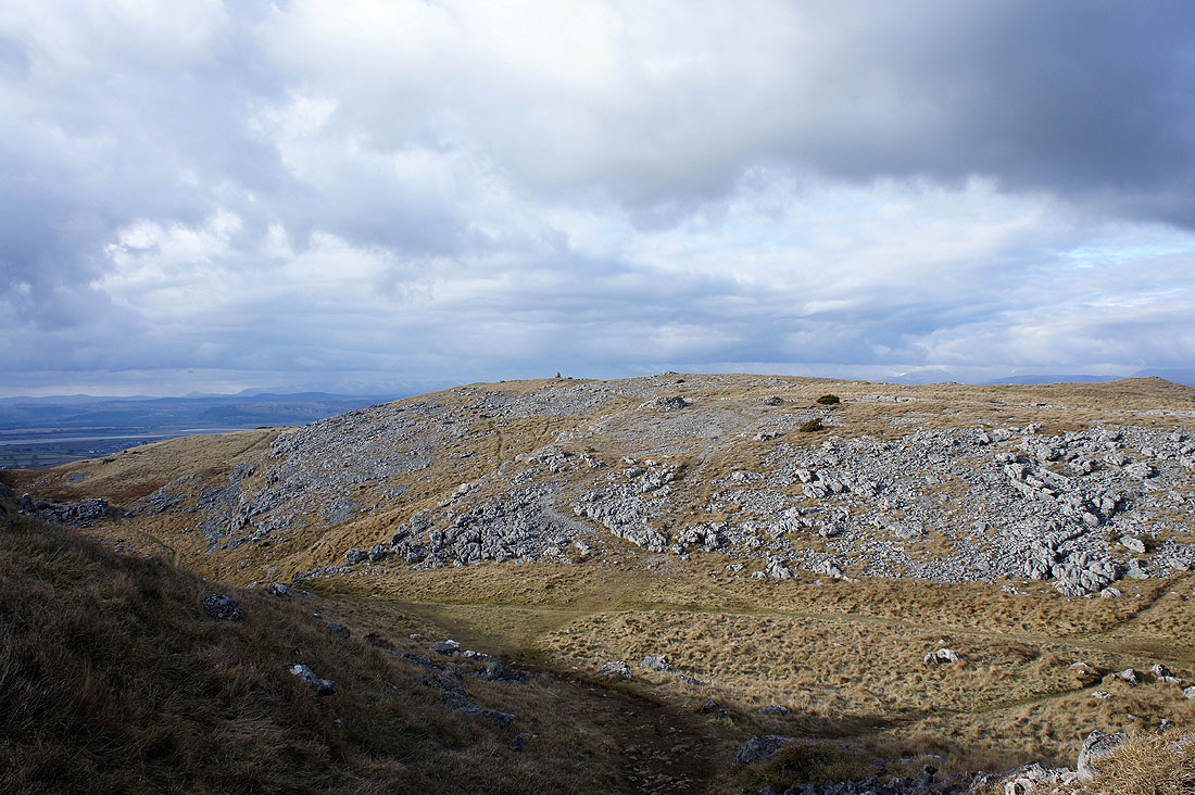
The sunlit top of Holmepark Fell comes into view
I can see some of the fells in the Yorkshire Dales over the wall
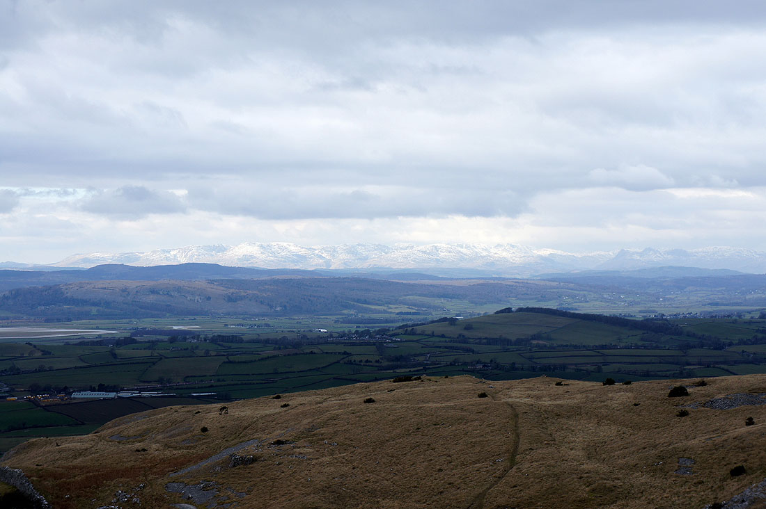
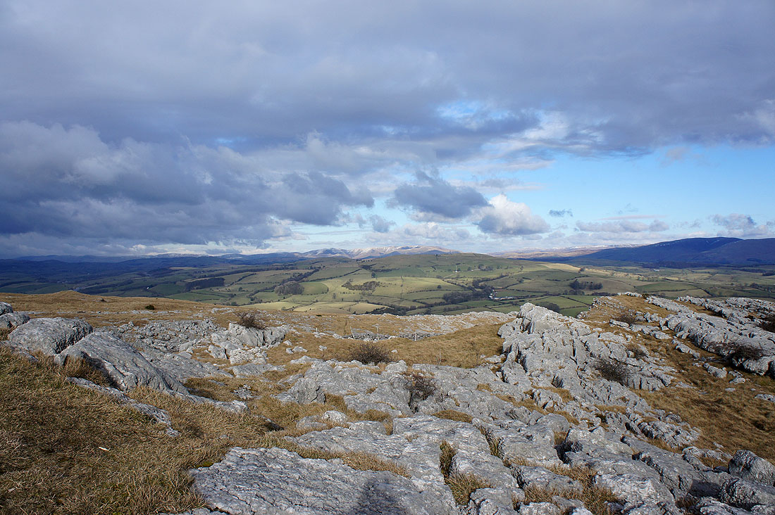
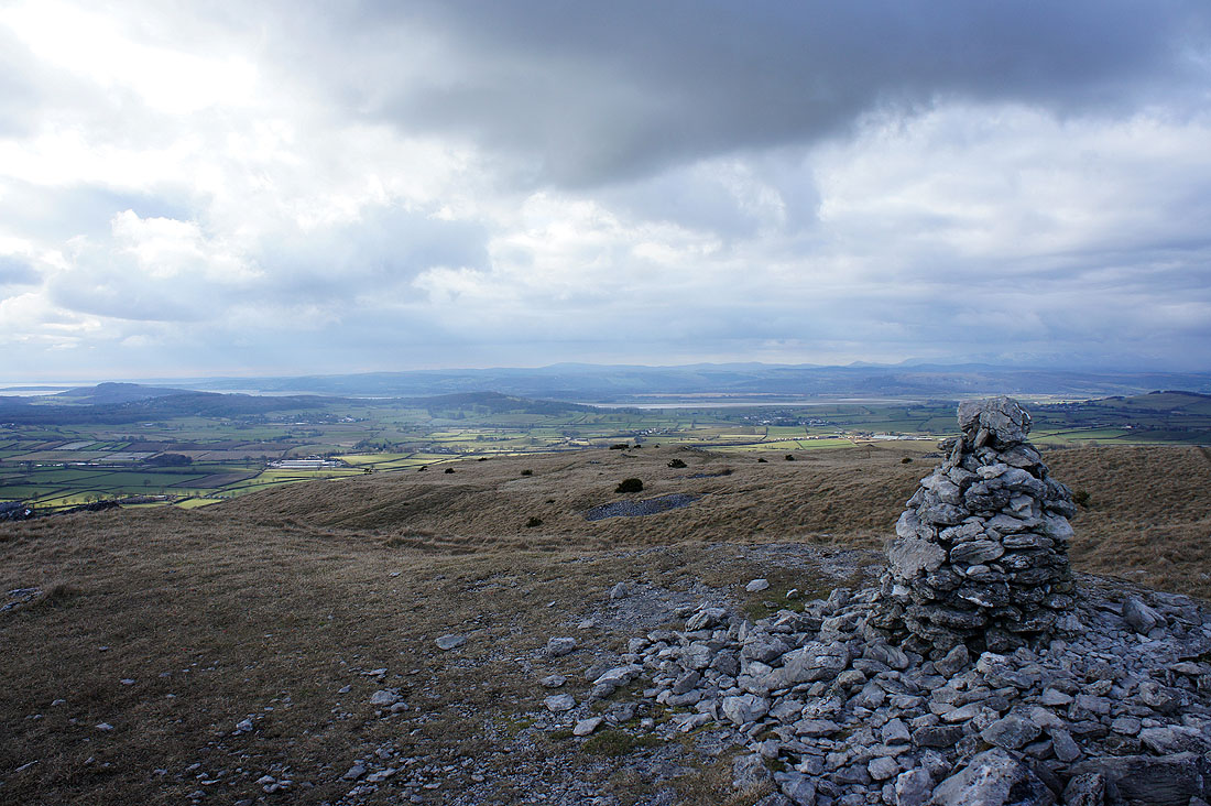
On the summit of Holmepark Fell. It was cold and windy up here and a few wintry flurries passed through as well. This view across Farleton Knott towards the Lake District fells was the best I had of them but the weather improved and I was treated to some great views north to the Howgills and east to the Yorkshire Dales.
Zooming in and it's easier to make out the Coniston fells on the left with the Langdale Pikes on the right
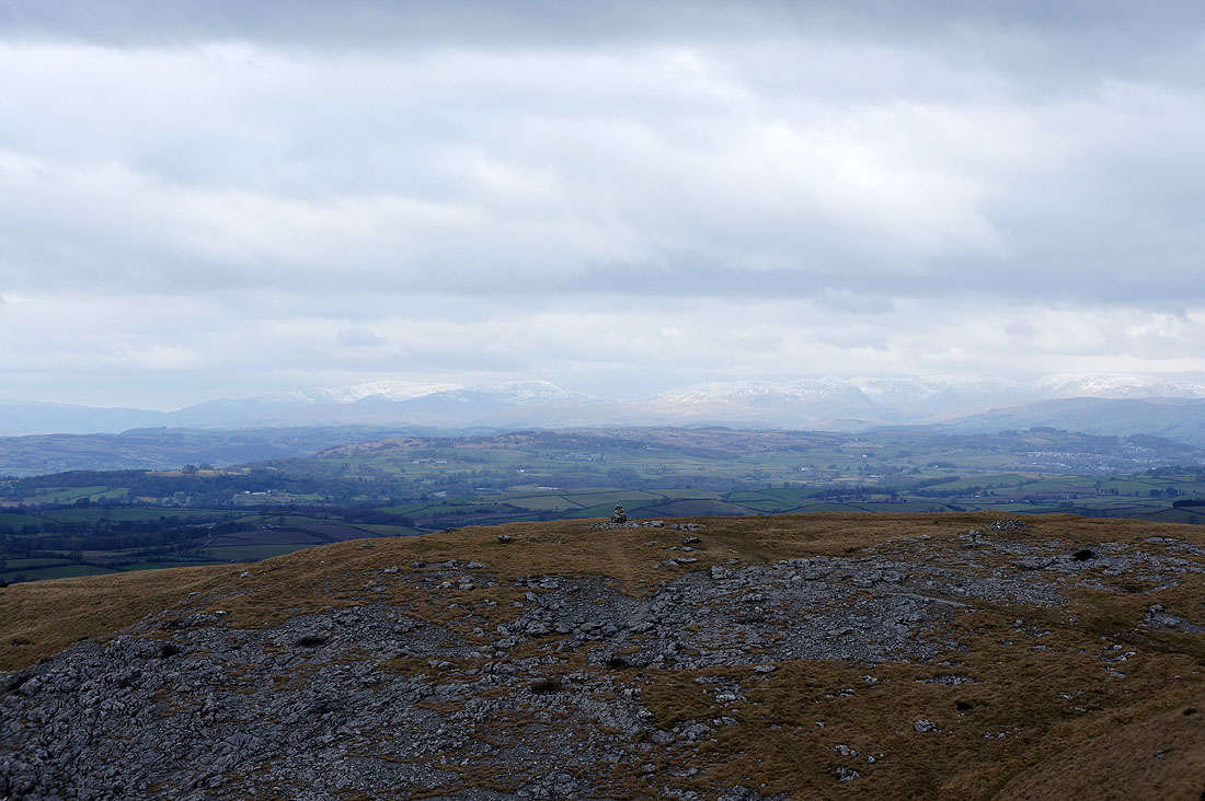
The Fairfield group of fells on the left and the High Street group of fells on the right
It was definitiely worth waiting for the brighter skies I could see to the north and east to arrive. To the north there is snow dusting the tops of the Howgills behind Scout Hill which is on the other side of the A65.
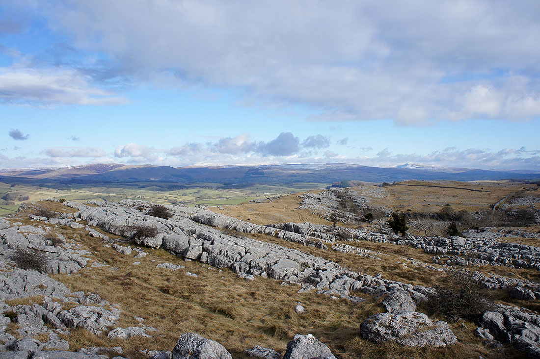
While to the northeast and east are some of the fells in the Yorkshire Dales. From left to right are Middleton Fell, Crag Hill, Gragareth and Ingleborough.
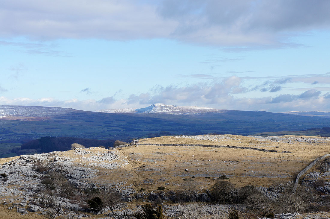
Zooming in on Ingleborough
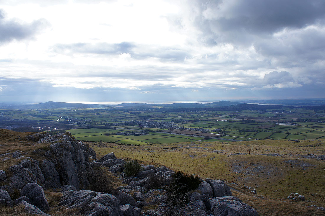
A sunlit Morecambe Bay
Glimpses of the fells of the Forest of Bowland behind neighbouring Hutton Roof Crags
Heading for Farleton Knott
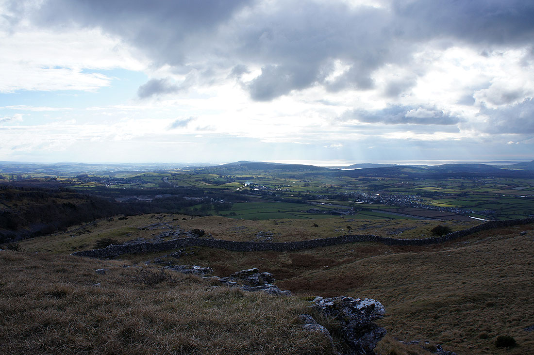
On Farleton Knott. Glimpses of the Kent estuary.
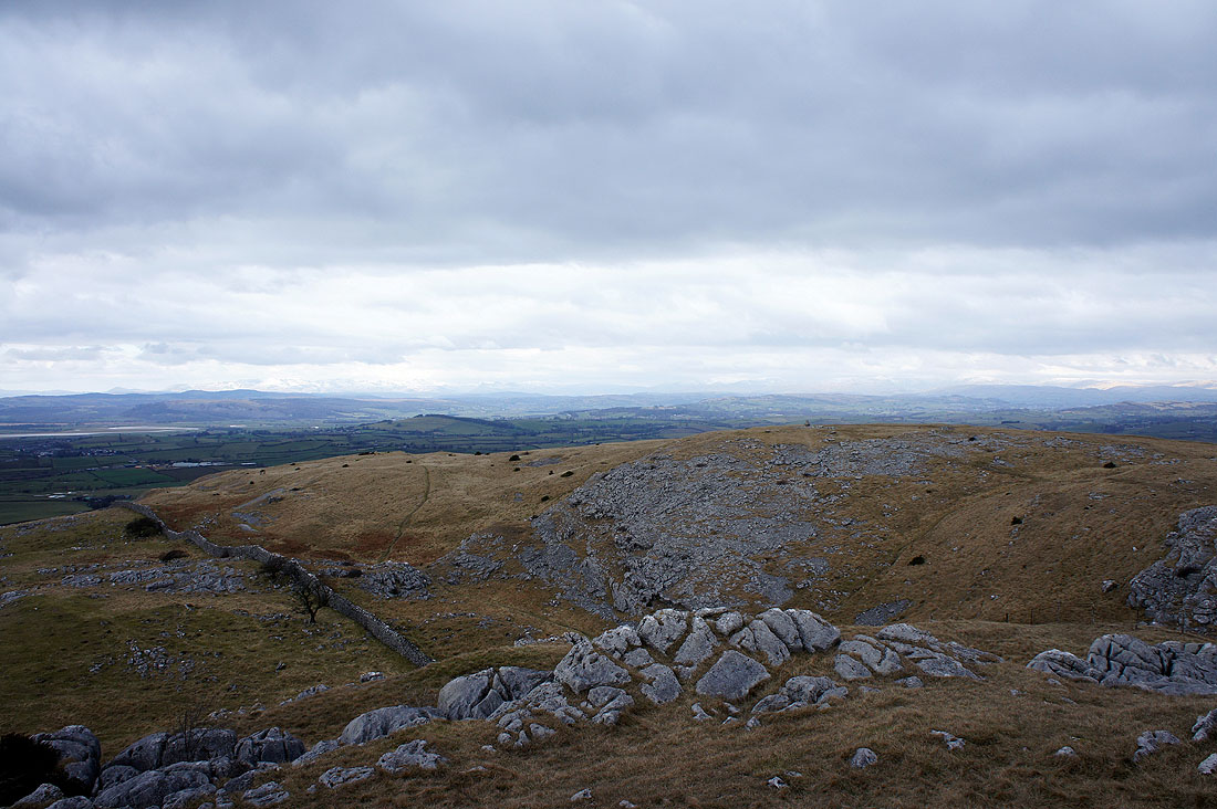
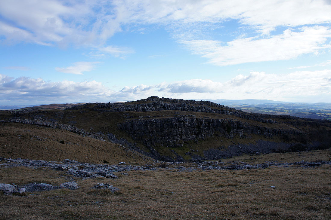
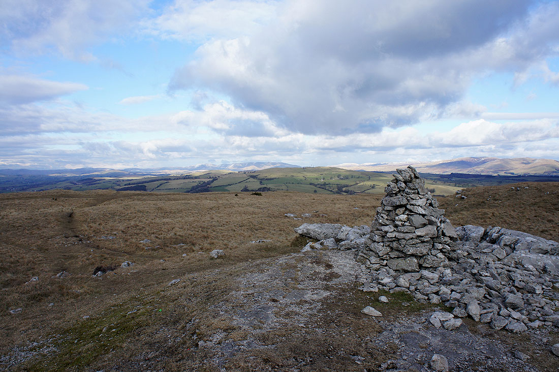
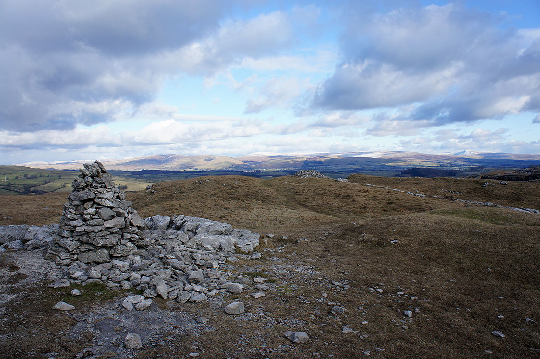
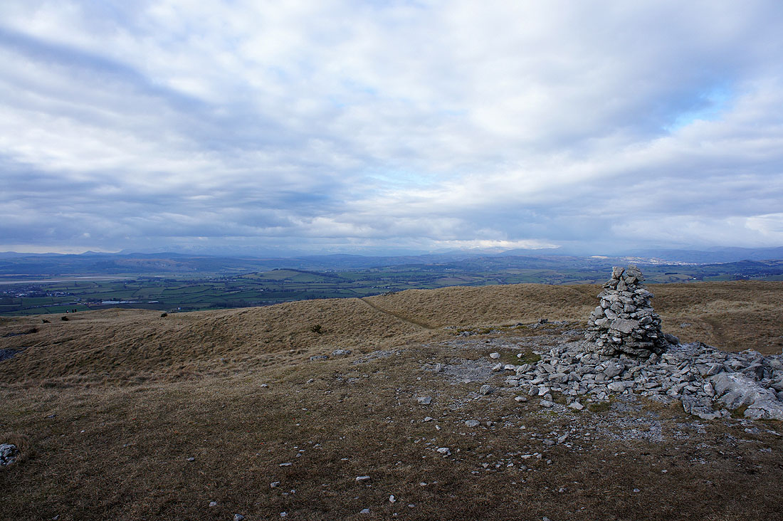
The rocky crest that makes up the top of Holmepark Fell
Warton Crag in the middle of the picture
Howgills to the north
Middleton Fell, Crag Hill, Gragareth and Ingleborough in the Yorkshire Dales
Looking towards the Lake District fells
I'm not sure the way down I used was the best but it was a clear and well-used path. Unfortunately there was quite a bit of gorse encroaching on it. That's Marsden Farm and the hamlet of Farleton below.
Walking through Farleton
One last shot as I take to the towpath of the canal to head back to where I'm parked
