24th February 2018 - Capplestone Gate and the Dales Way
Walk Details
Distance walked: 9.5 miles
Total ascent: 1828 ft
OS map used: OL2 - Yorkshire Dales, Southern & Western areas
Time taken: 6 hrs
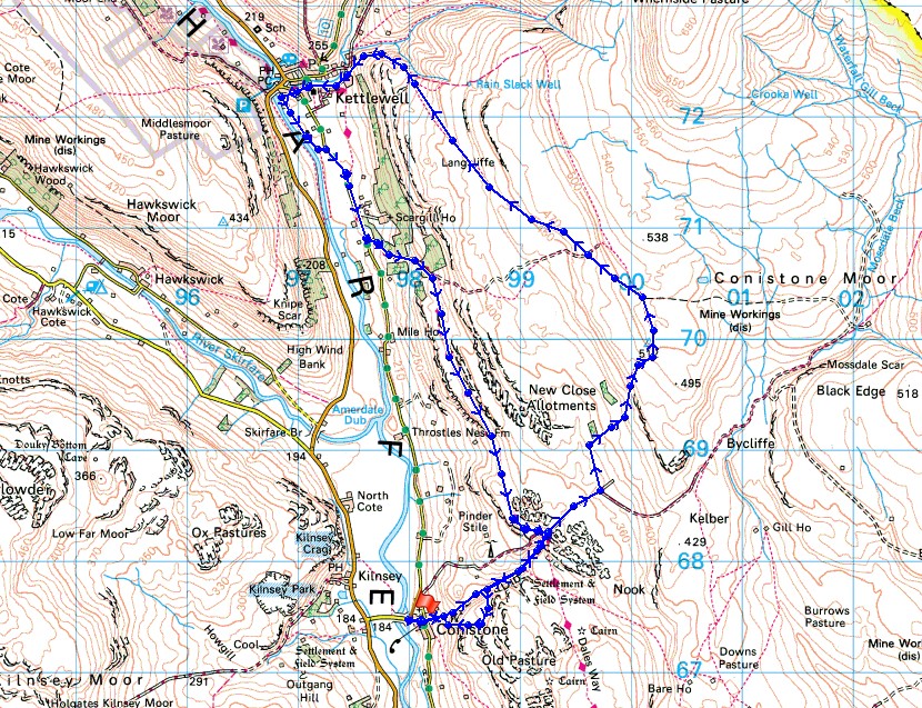
Route description: Conistone-Conistone Dib-Bycliffe Road-Conistone Turf Road-Capplestone Gate-Langcliffe-Kettlewell-Highgate Leys Lane-Dales Way-Conistone Dib-Conistone
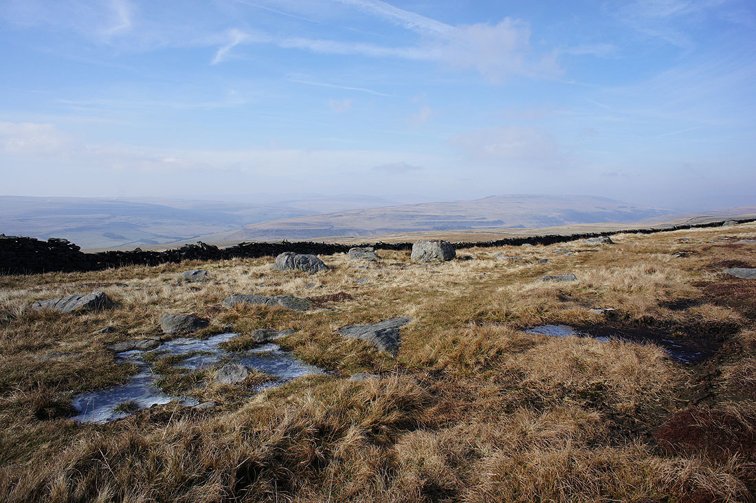
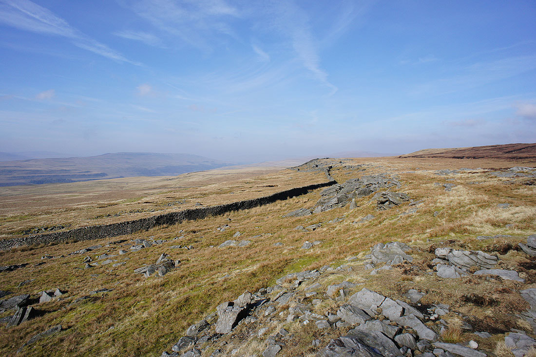
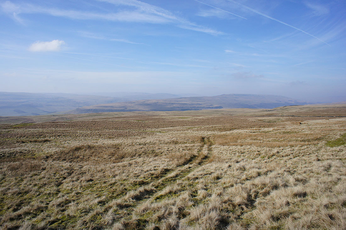
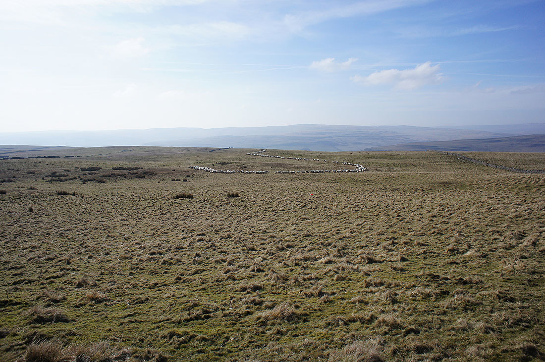
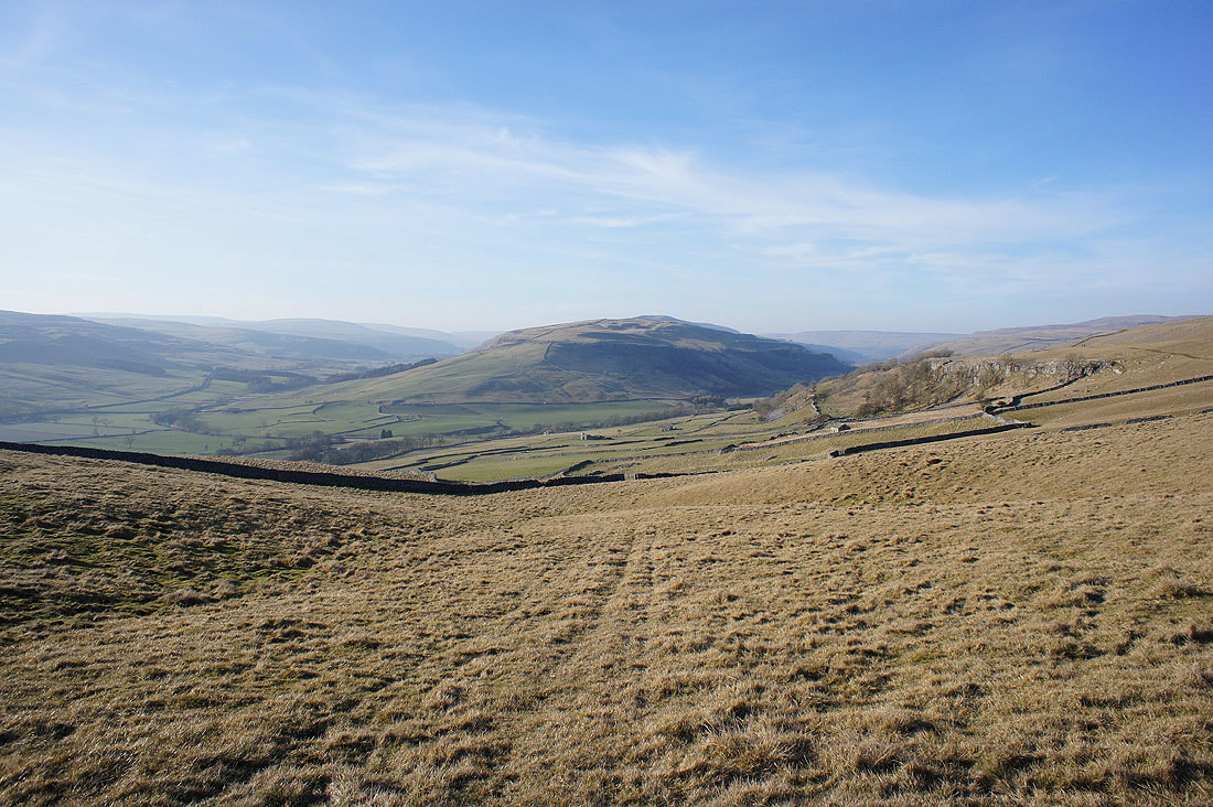
This was the walk that I'd originally planned on doing last weekend. It's a route that I've done a couple of times before and offers great views across the moors around Wharfedale and Littondale. This weekend was the build up to the "Beast from the East". I may have had sunny skies today but there was a strong and cold easterly wind blowing, the reason why I didn't opt for heading for one of the high tops. It was nothing compared to the bitter wind and snow that arrived a few days later though. A haze did limit the visibility to the nearby fells.
From the hamlet of Conistone I made my way through the hamlet and along the path up Conistone Dib. At its top I took the bridleway of Bycliffe Road which I left at a right turn for the footpath of Conistone Turf Road which heads uphill to the trig point at Capplestone Gate. After taking a break in the shelter of the wall here I followed the path northwest across the hillside of Langcliffe down to Kettlewell. I had another stop in Kettlewell at Zarina's Tea Room where I had coffee and a slice of Bakewell Tart. Time to head back. I started by making my way down to the bridge over the Wharfe to take the path south by the river. I left this for the Kettlewell to Conistone road which was joined by the trail of the Dales Way. I then followed the Dales Way south back to the top of Conistone Dib. A walk down the Dib brought me back to Conistone (with a detour up to the cairn on the hillside of Davy Dimple).
Route map
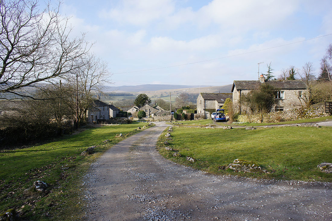
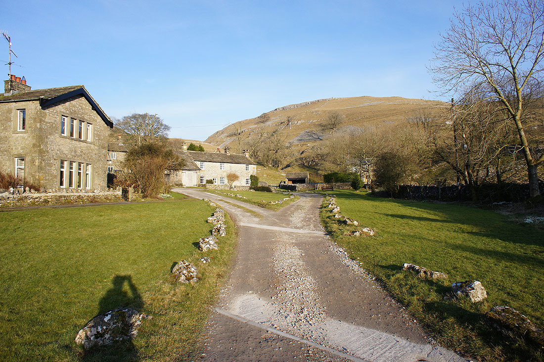
Looking back at the hamlet of Conistone..
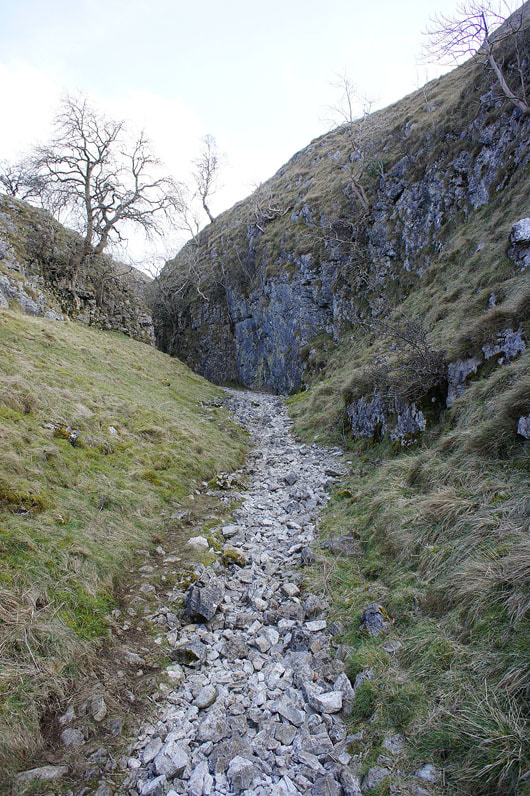
..as I enter Conistone Dib
Making my way past Bull Scar
and approaching the top of Conistone Dib
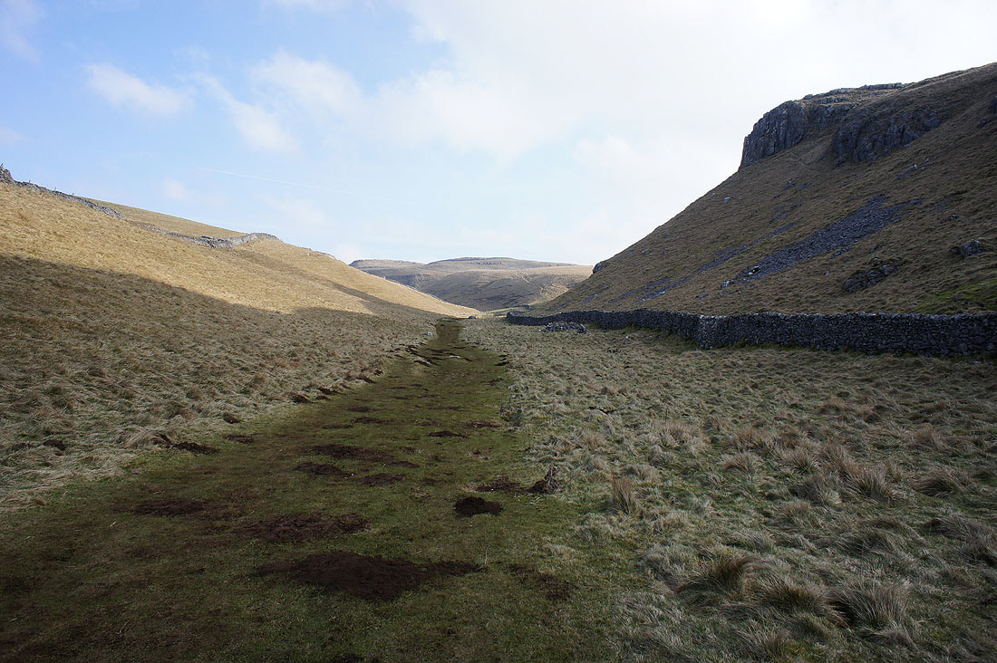
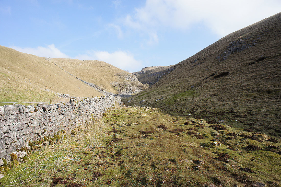
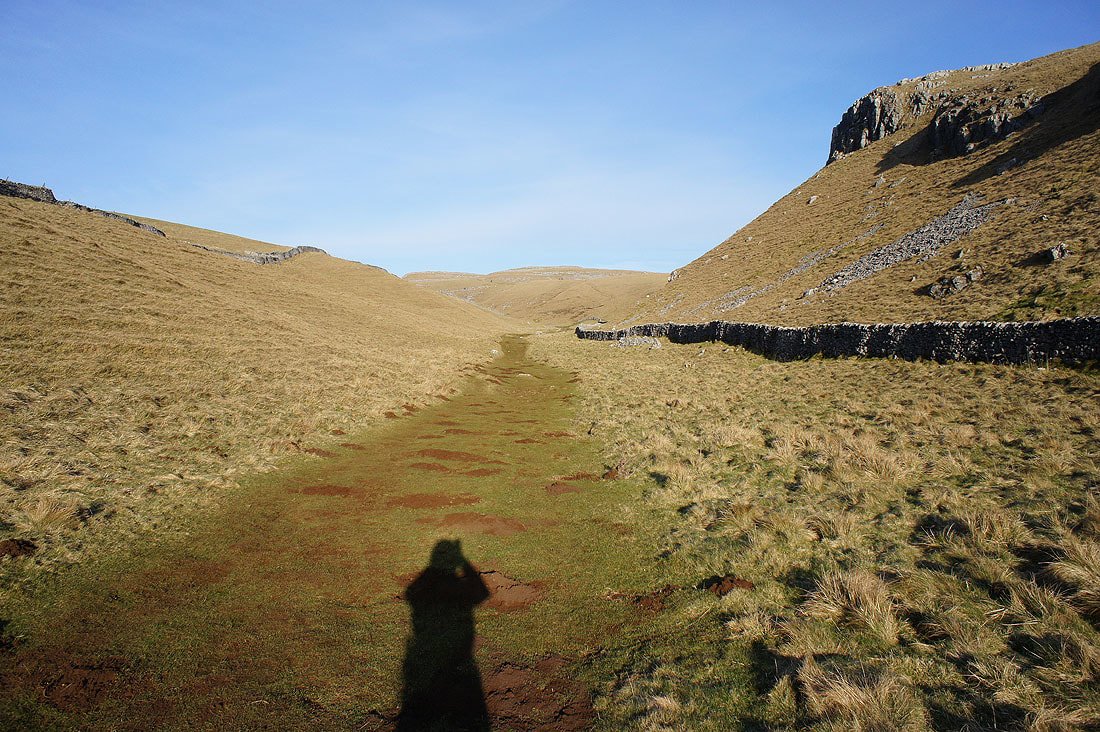
Looking back down Conistone Dib
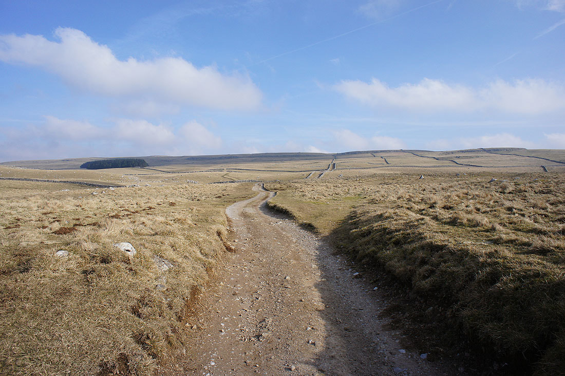
The bridleway of Bycliffe Road takes me up onto the limestone moorland above Wharfedale
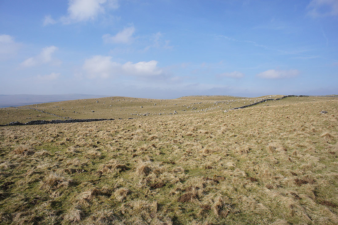
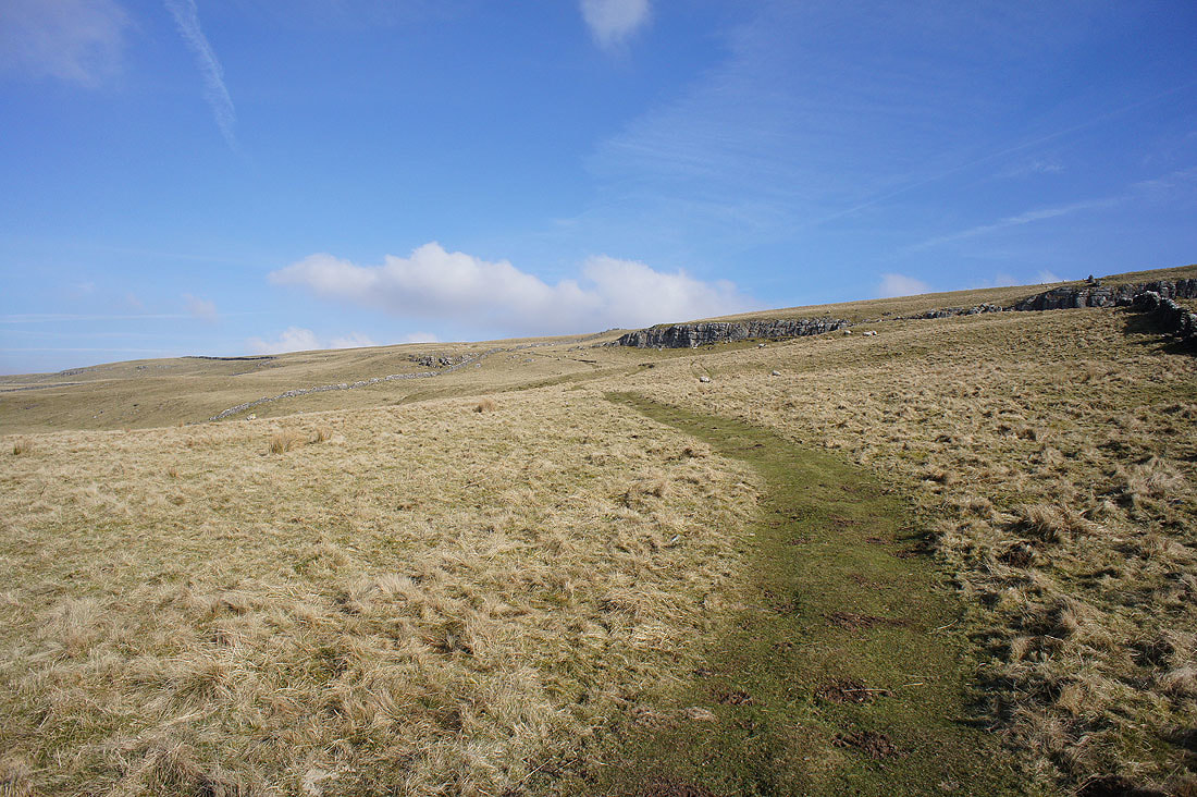
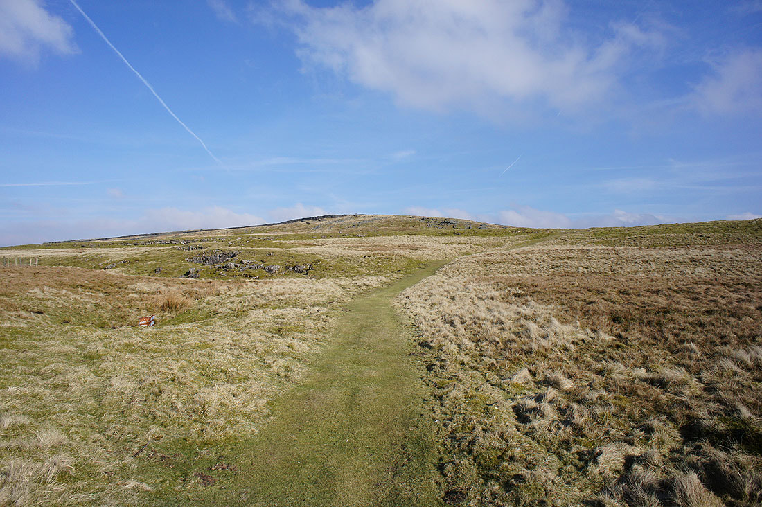
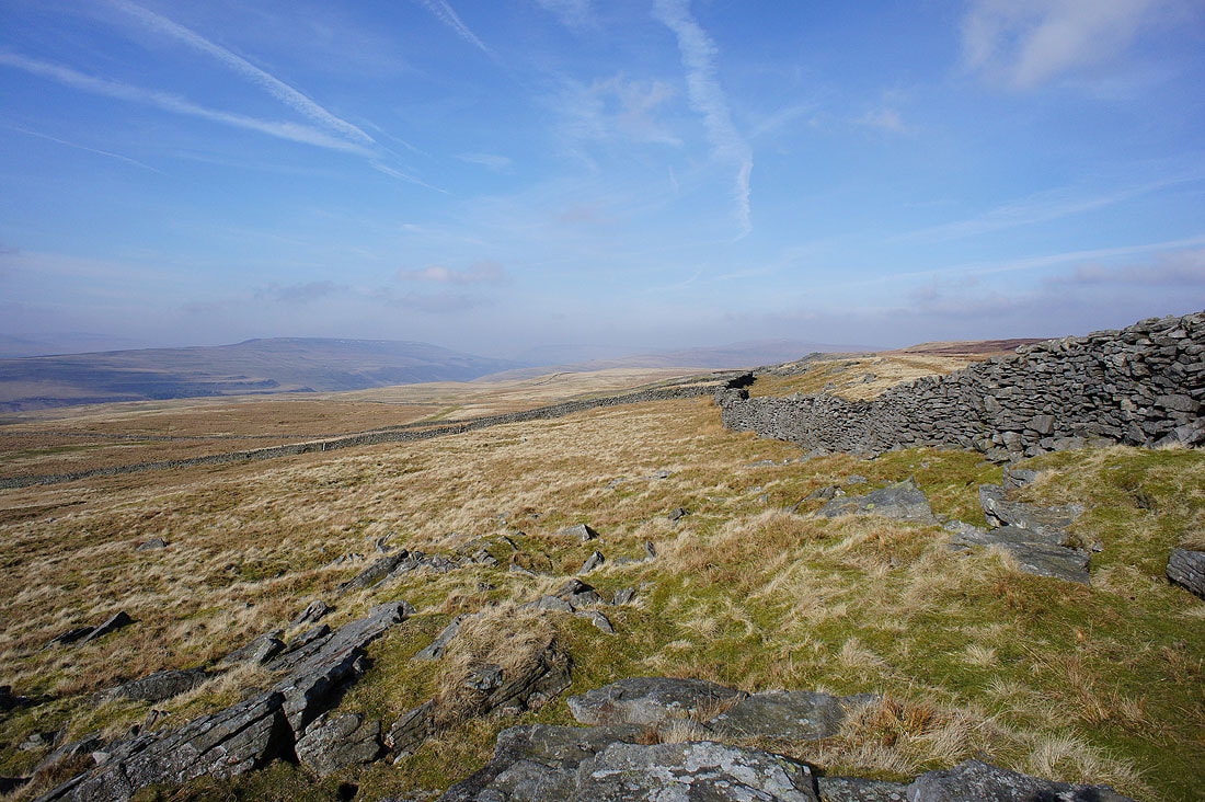
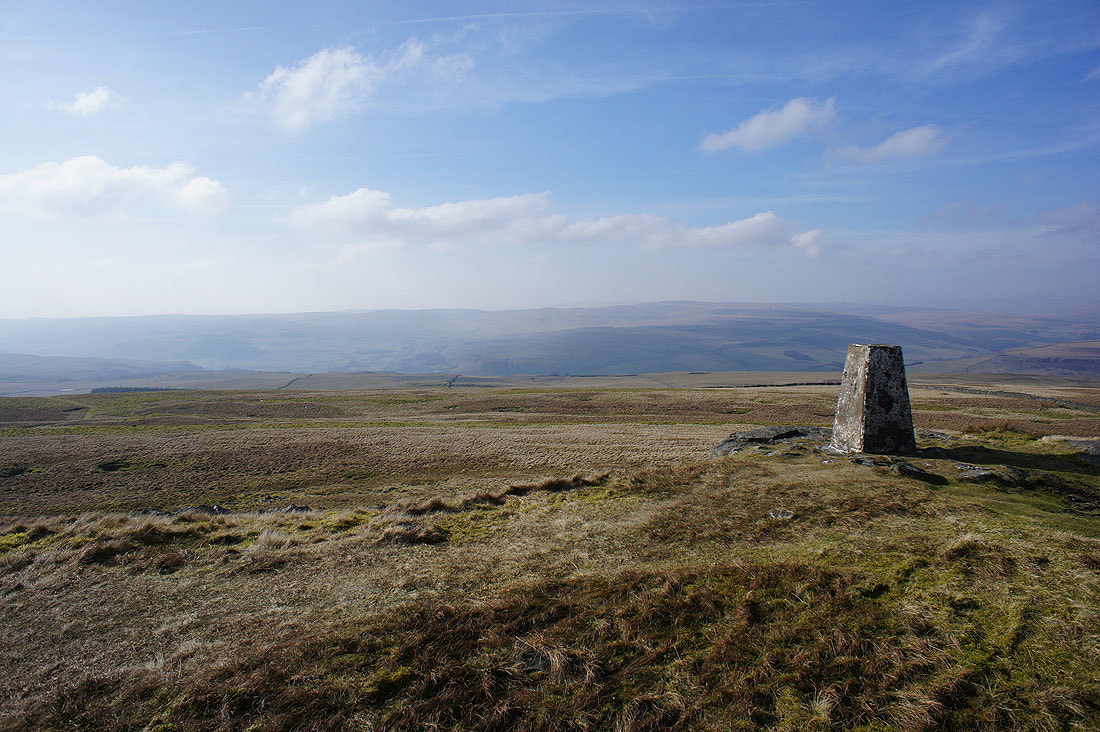
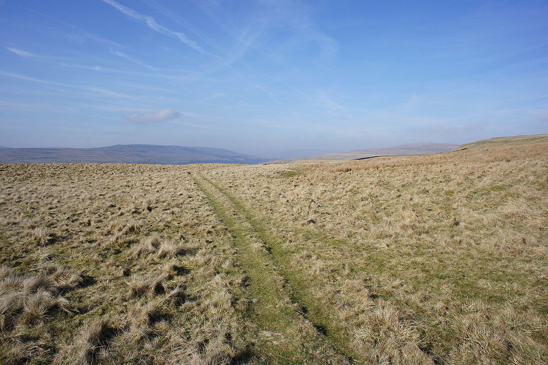
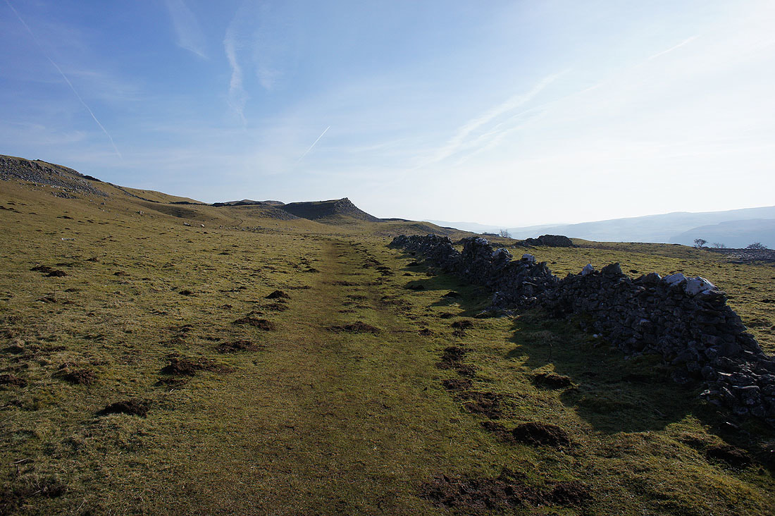
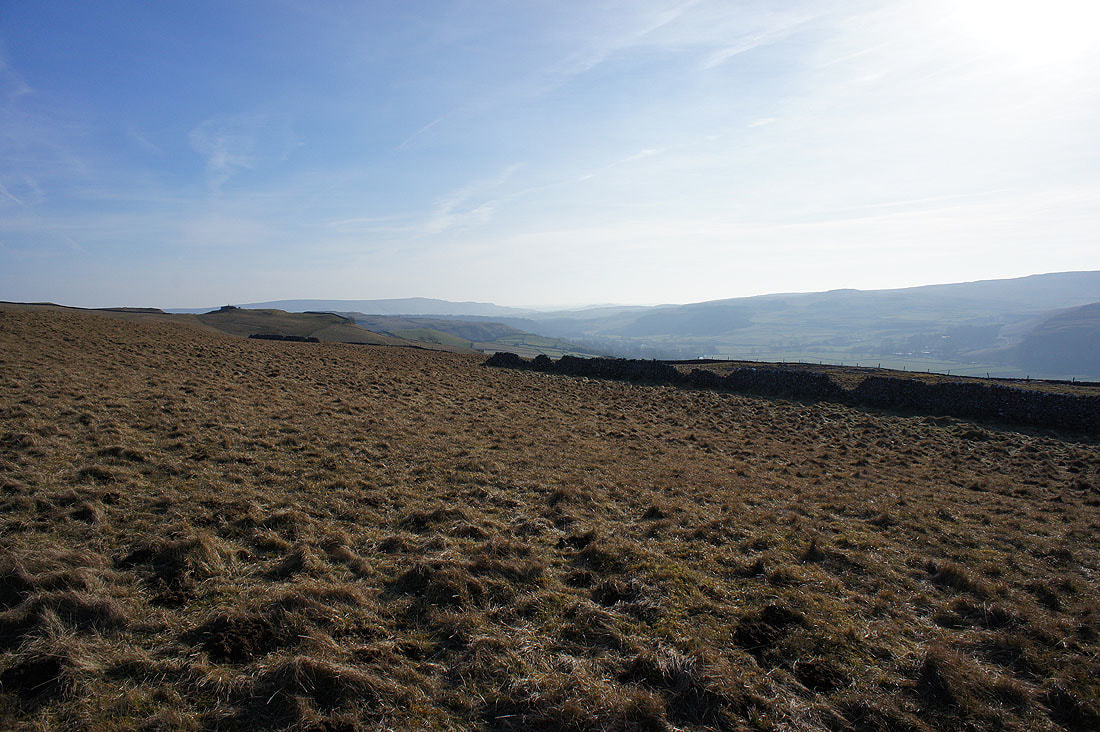
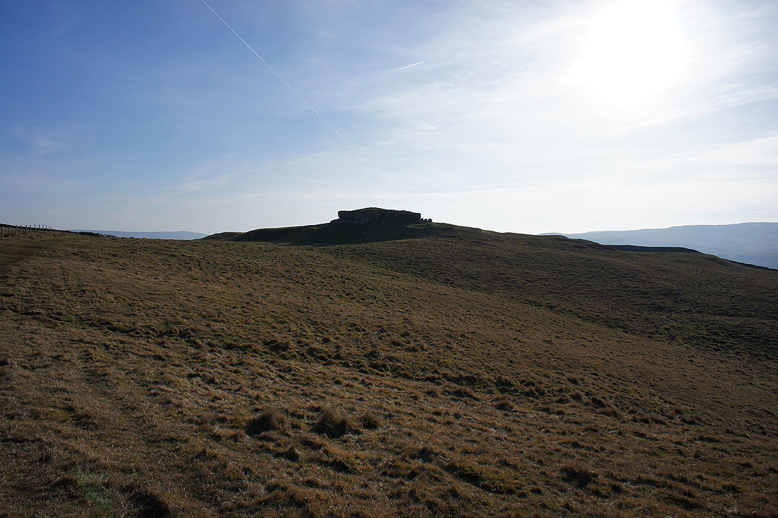
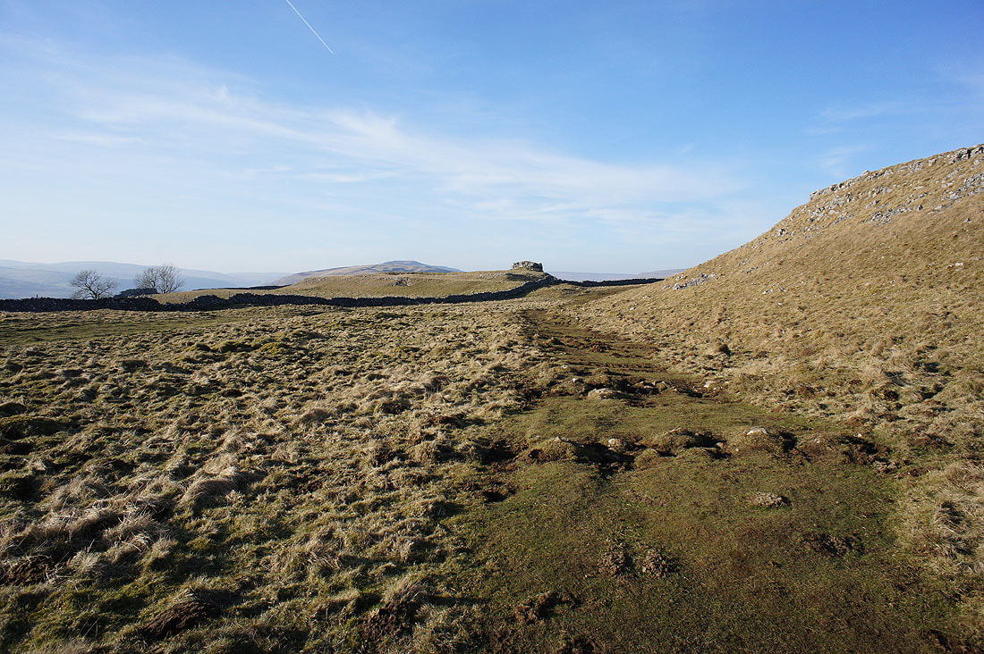
There are great views across the surrounding moors as I follow the path of the Conistone Turf Road up to the trig point at Capplestone Gate....
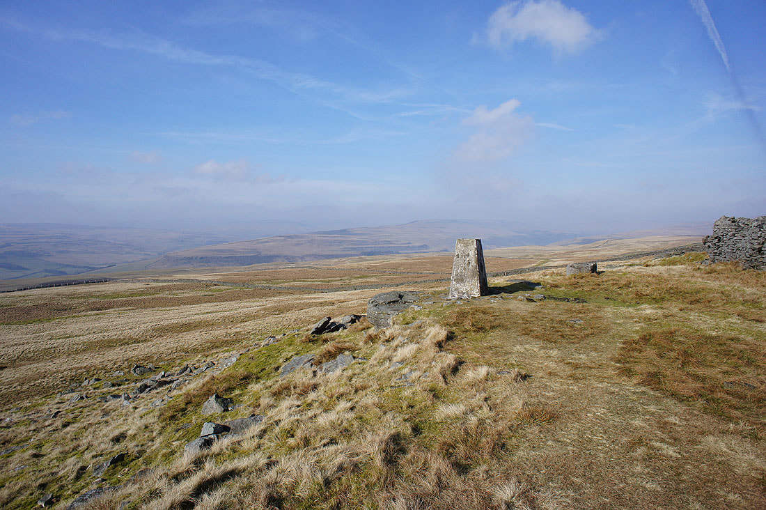
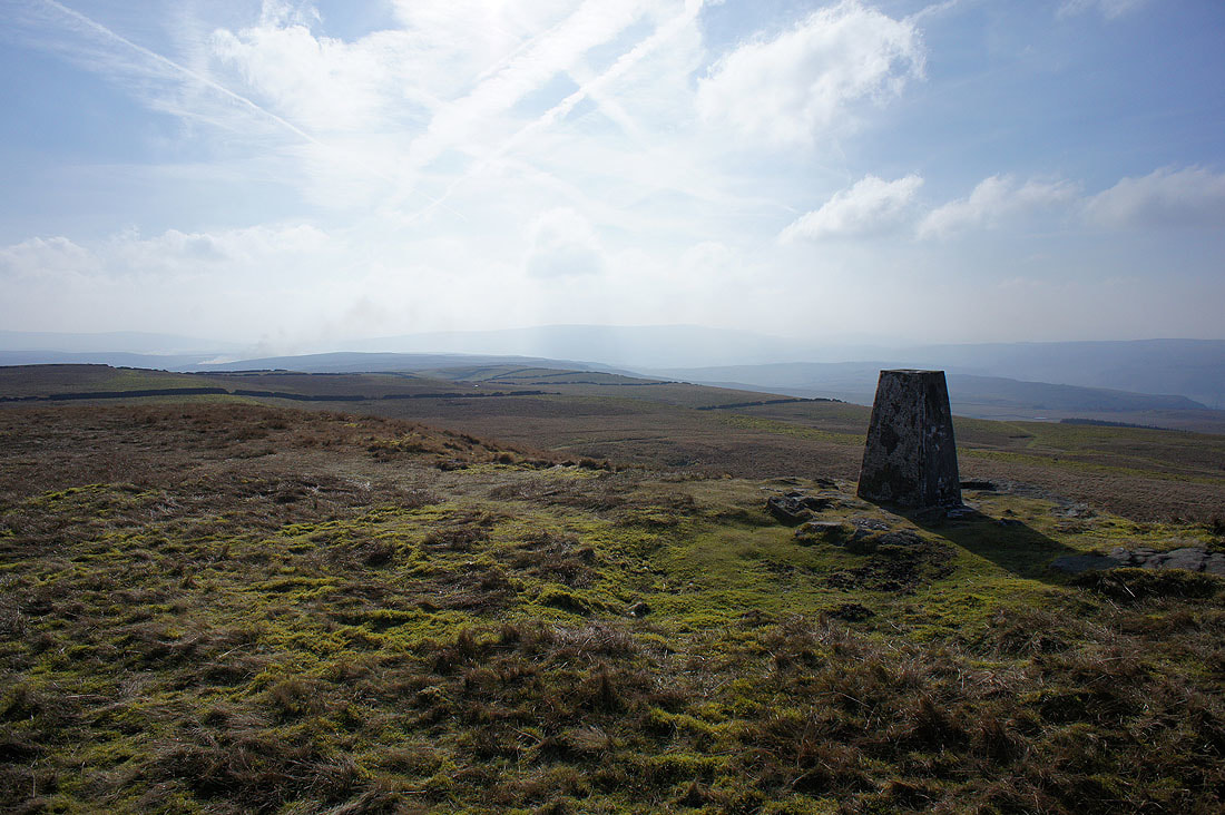
By the trig point at Capplestone Gate
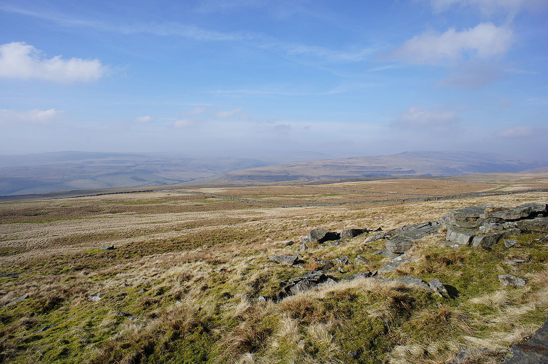
It's pretty hazy today but there's still a great view from here. Looking across to the moorland where Littondale and Wharfedale meet.
Old Cote Moor Top and a hazy Buckden Pike
The moorland around Wharfedale to the south..
..and Barden Moor
Finally, Malham Moor and Kilnsey Moor on the other side of the valley
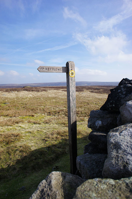
Time to head for Kettlewell
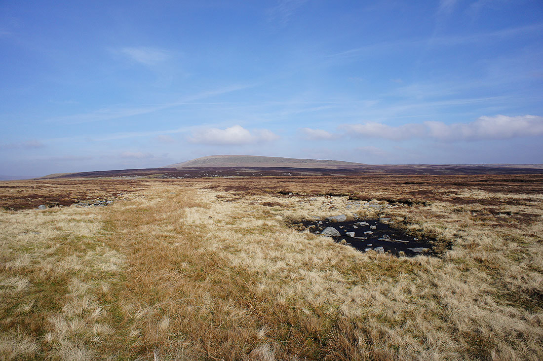
The southern end of Great Whernside
The sprawling moorland between Wharfedale and Nidderdale
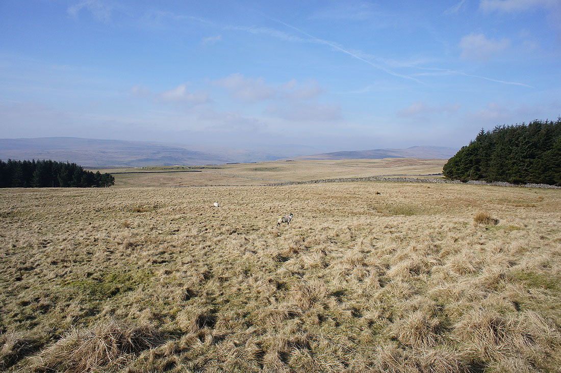
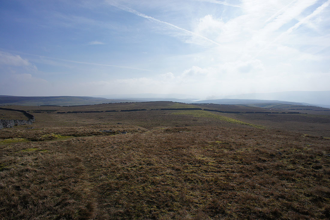
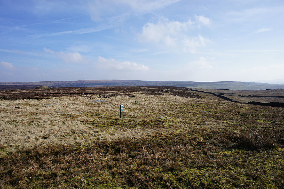
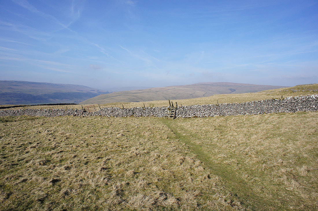
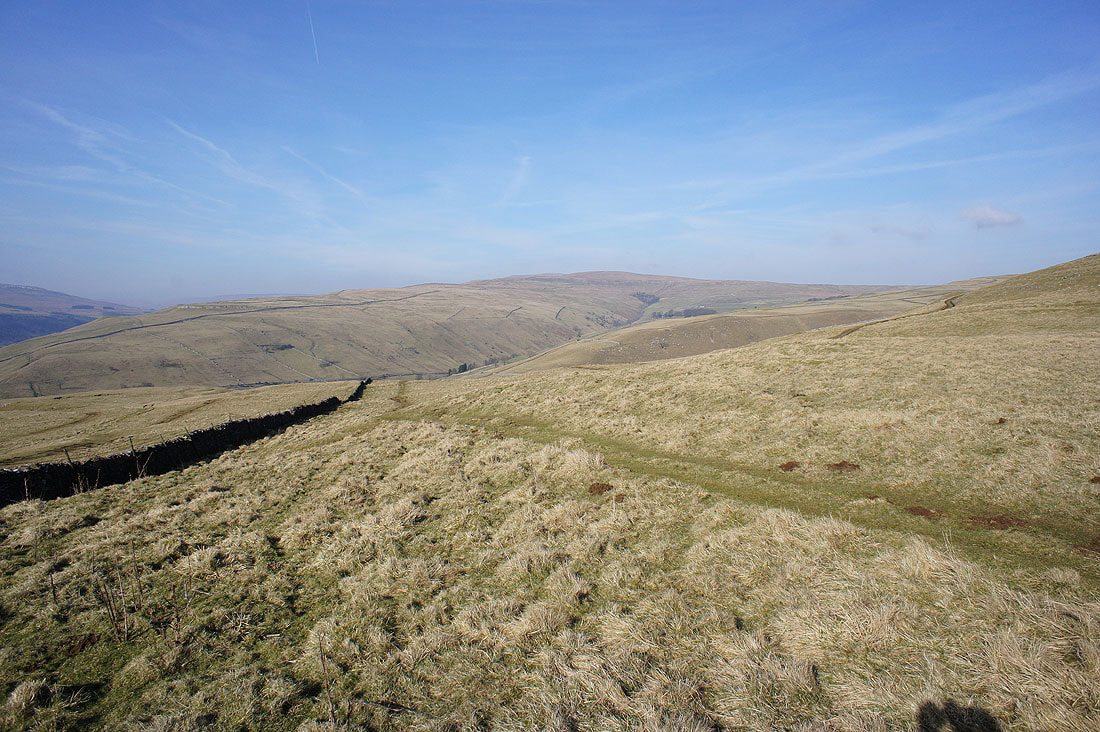
Great views ahead as the path heads northwest and downhill...
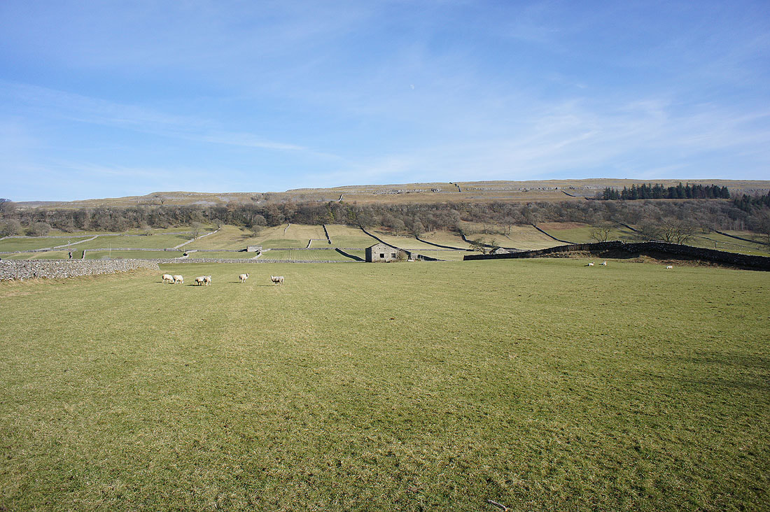
No guesses needed to work out where the farmer has just put feed down for his sheep
The southern end of Buckden Pike comes into view as I get nearer to Kettlewell...
Dowber Gill Beck with the summit of Great Whernside above
By Cam Gill Beck in Kettlewell
Having taken a break in Kettlewell it's time to head back to Conistone. First, a look at the bridge carrying the B6160 over the Wharfe.
Leaving Kettlewell behind
Crookacre Wood on the side of the valley
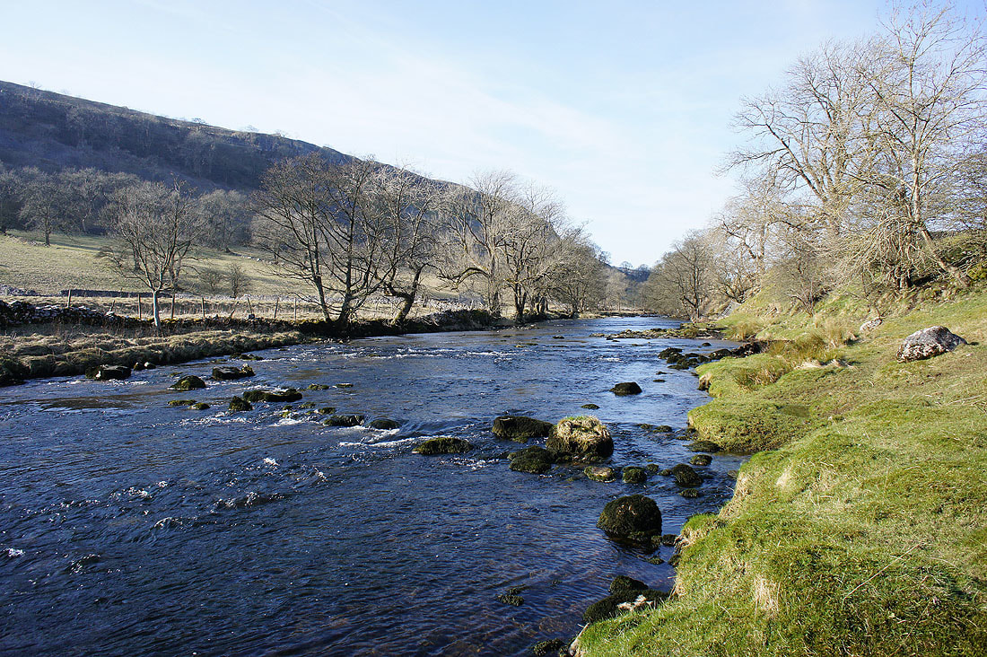
A last chance to get next to the river before I take to the side of the valley on the trail of the Dales Way
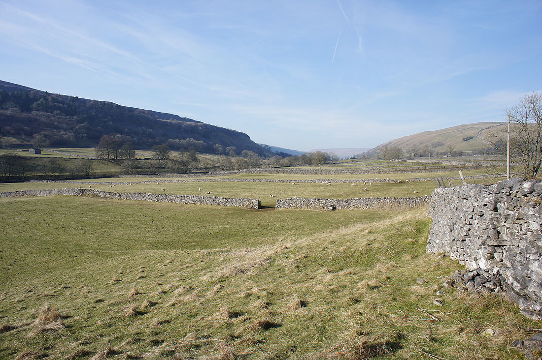
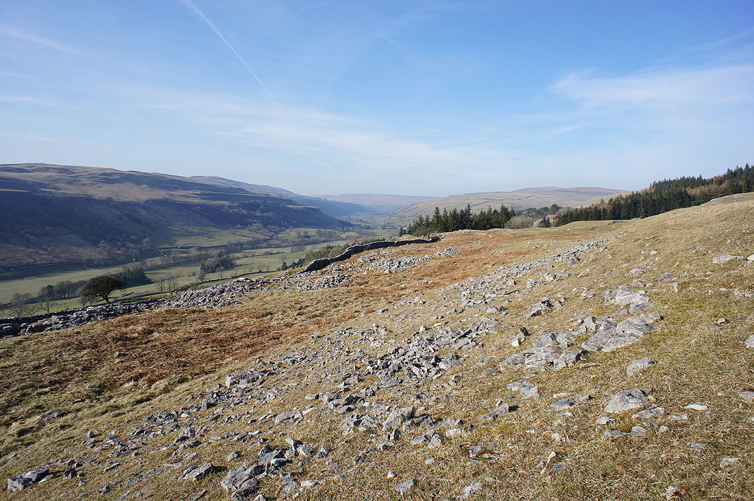
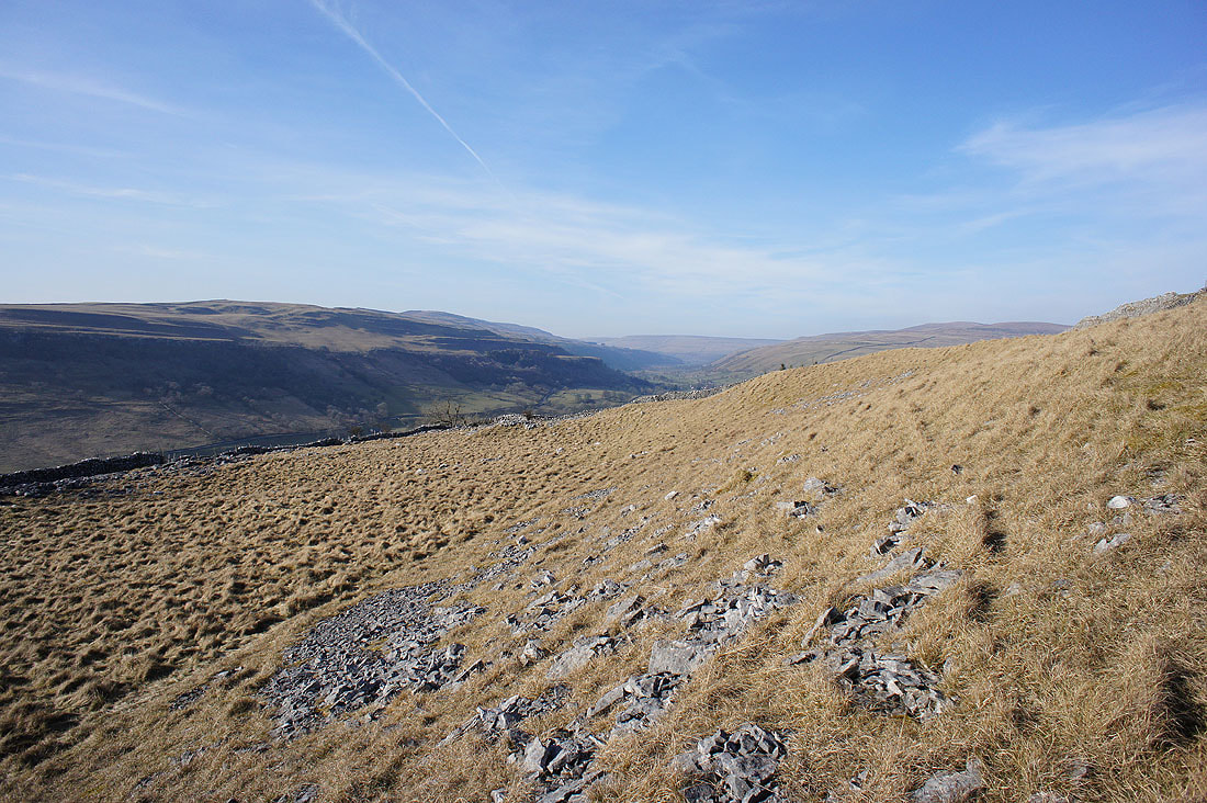
Looking up Wharfedale from the Kettlewell to Conistone road
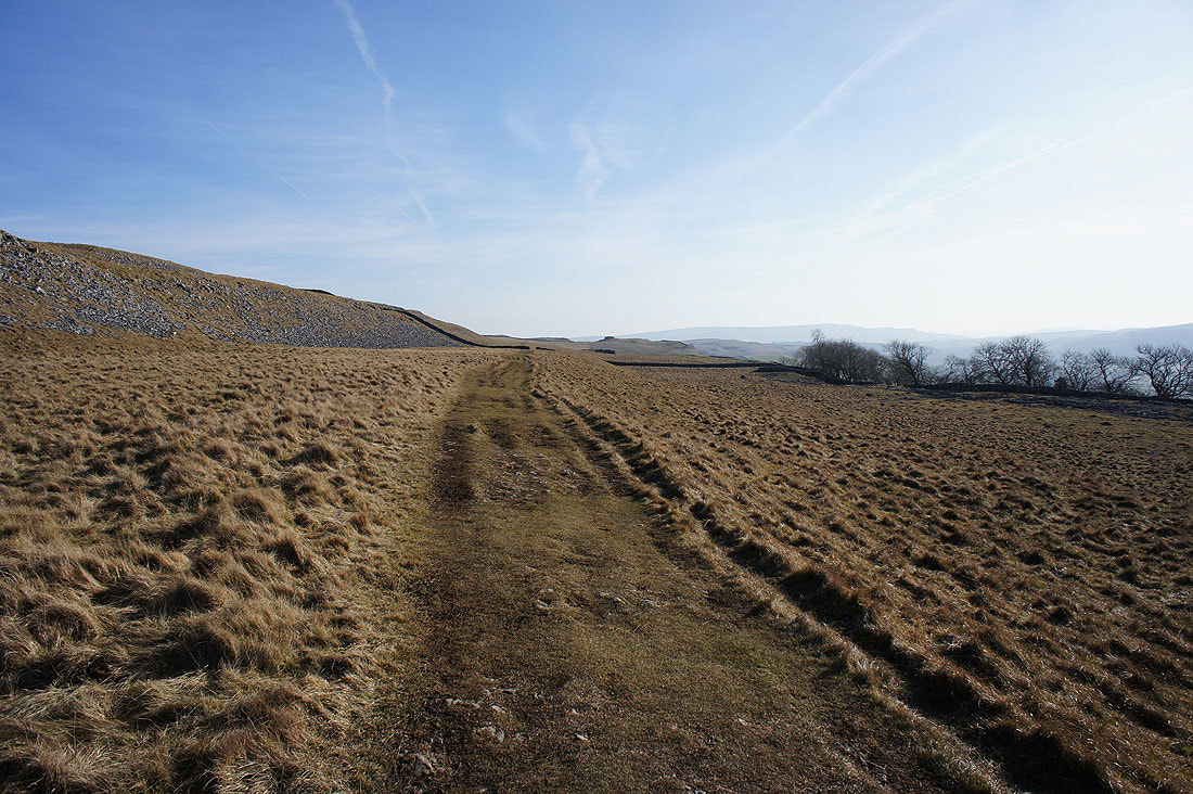
Onto the trail of the Dales Way
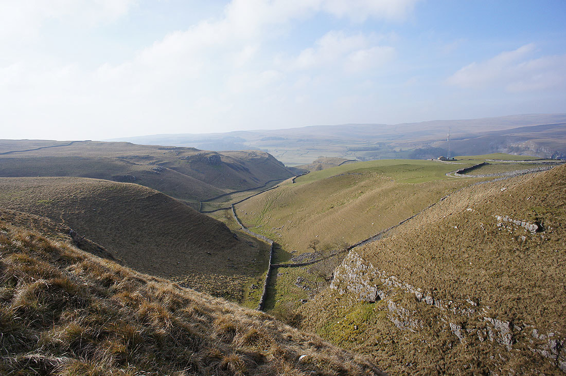
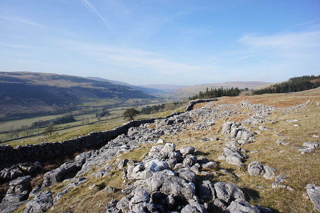
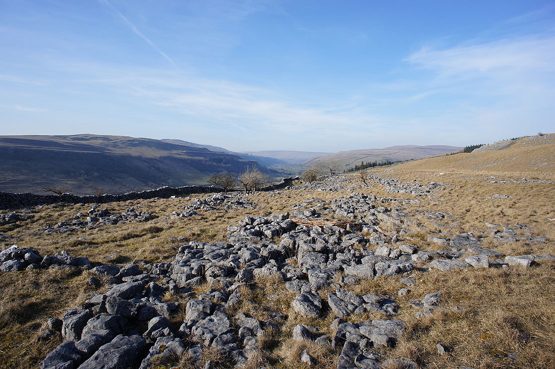
and as it reaches the limestone pavement of Swineber Scar there are plenty of photo opportunities as I look back up Wharfedale......
The limestone outcrop of Conistone Pie on the left, Barden Moor in the distance and Wharfedale
The meeting of Littondale and Wharfedale below
Conistone Pie. A good place to take a final break, out of the wind.
Back onto the Dales Way with a view of Littondale, Old Cote Moor Top and Wharfedale
Looking back to Conistone Pie
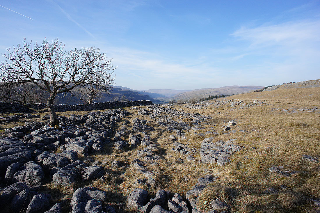
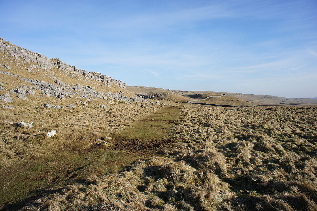
More limestone scars as I approach the top of Conistone Dib
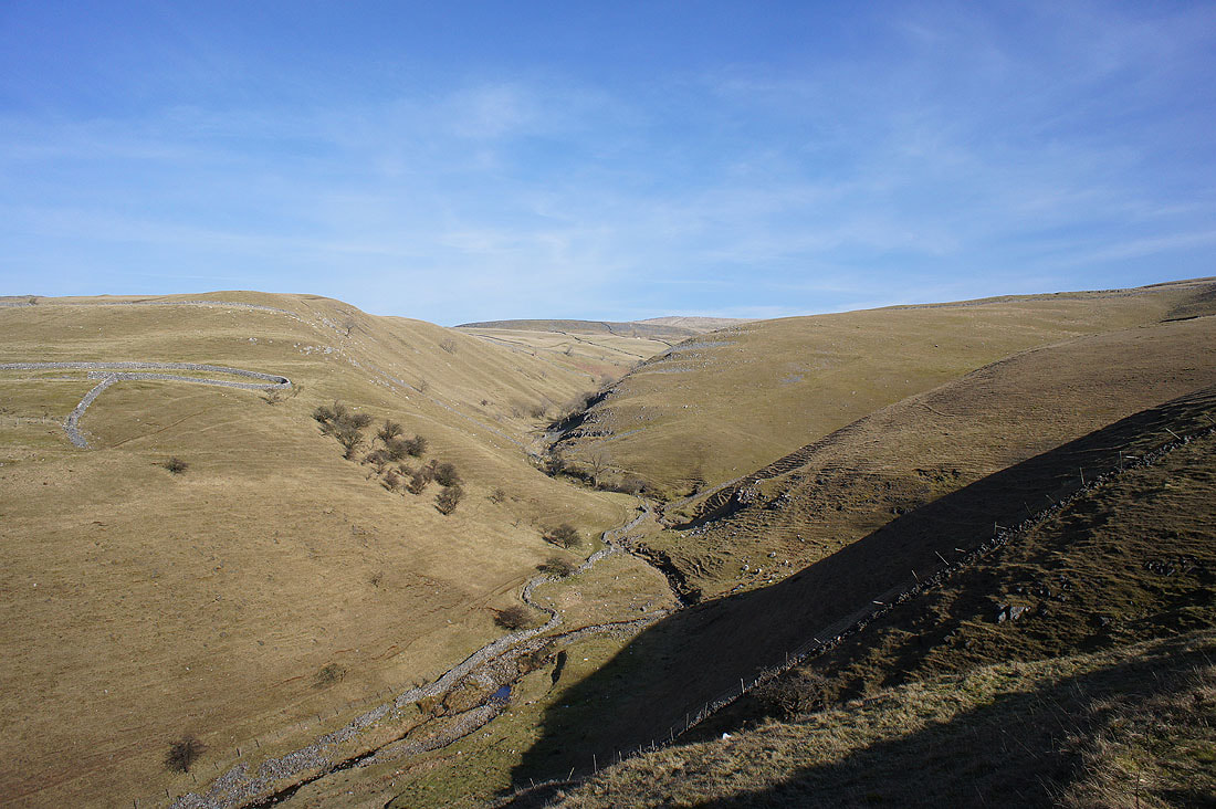
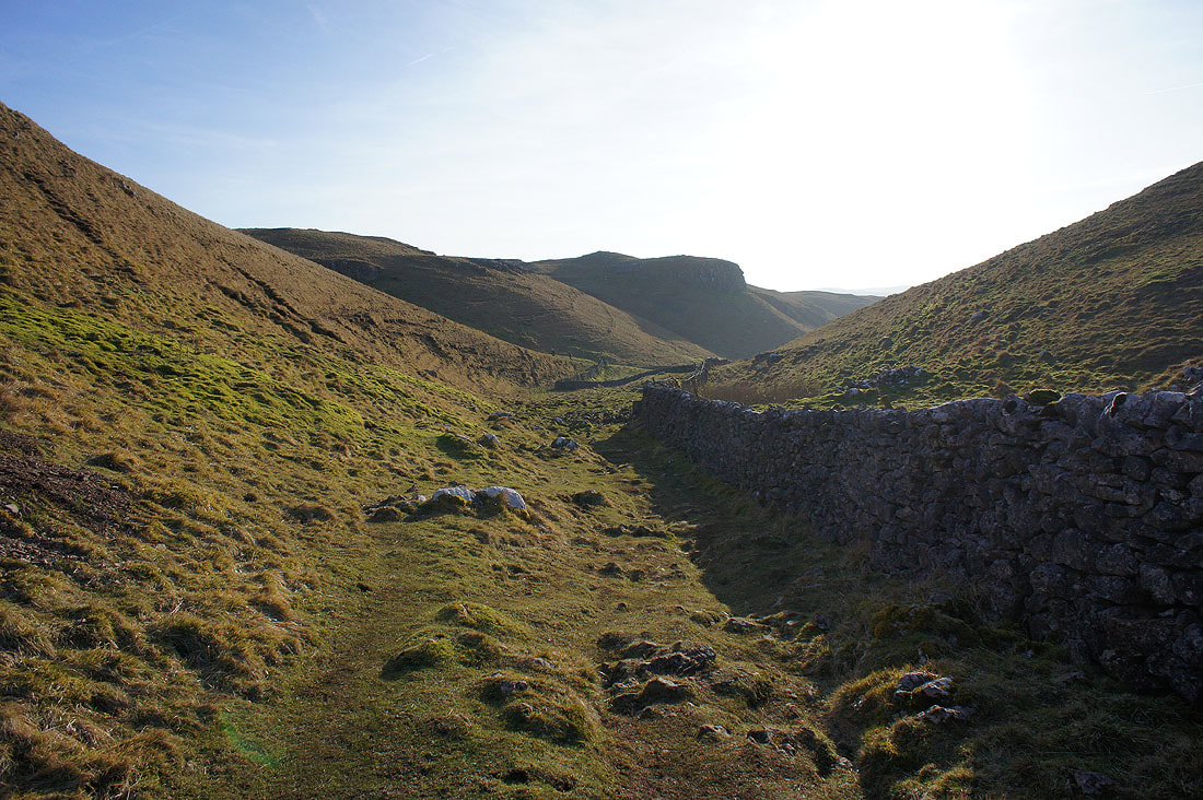
Making my way down Conistone Dib
Looking back from beneath Bull Scar
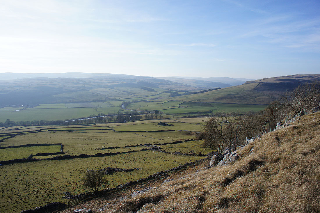
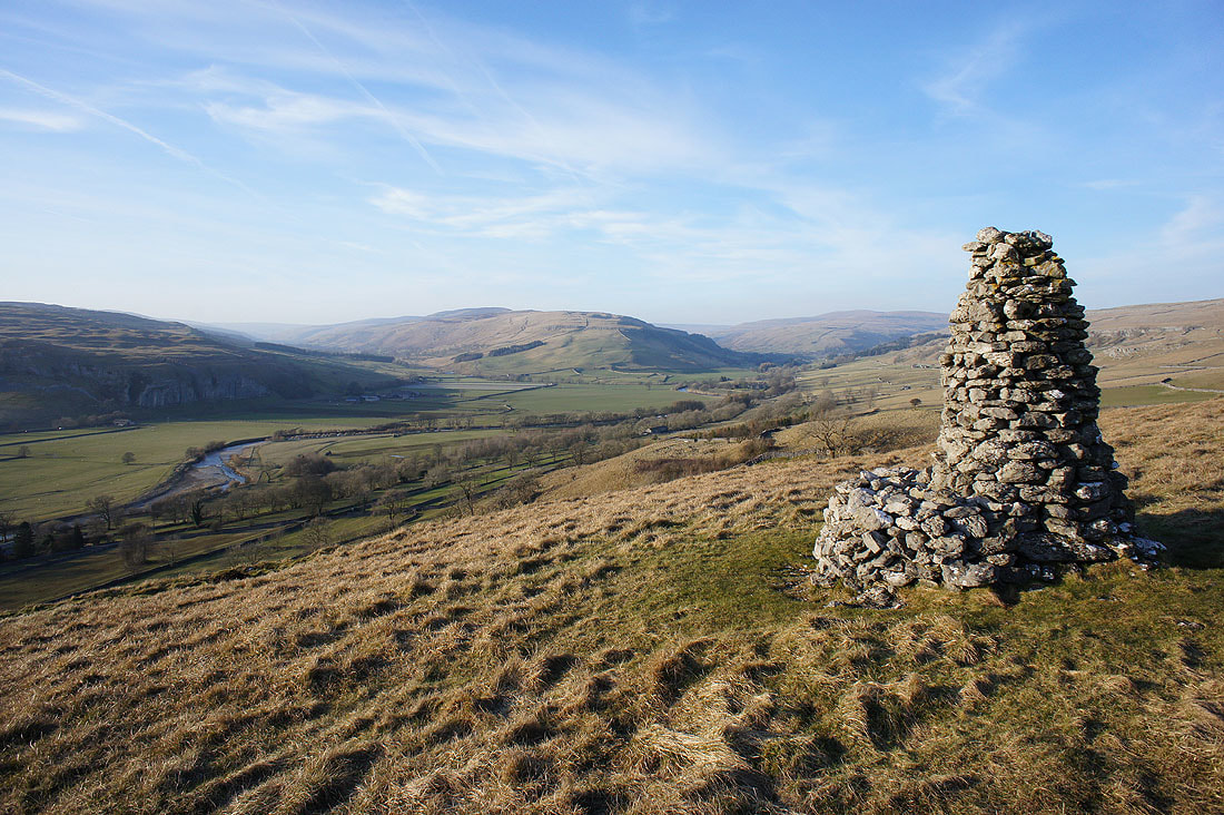
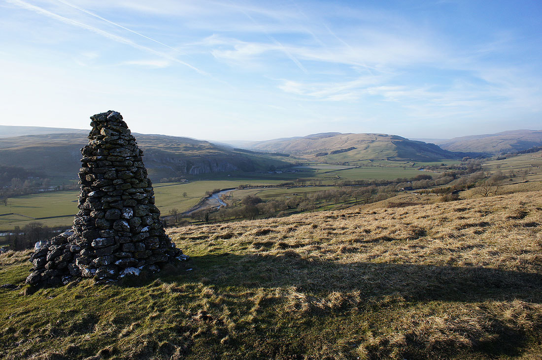
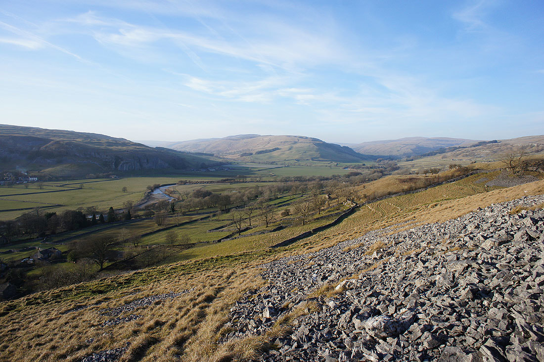
It was a bit of a slog up the hillside to reach the cairn on Davy Dimple, but worth it for this view..
There's a steep descent to Conistone
As well as an excuse to take another photo
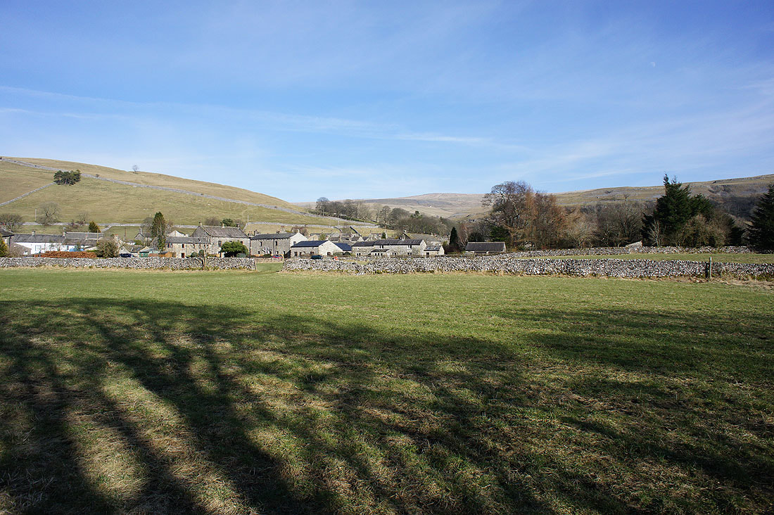
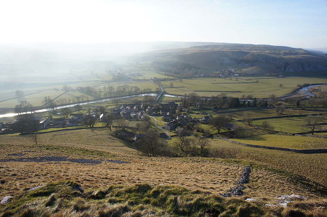
Conistone bathed in the late afternoon sun
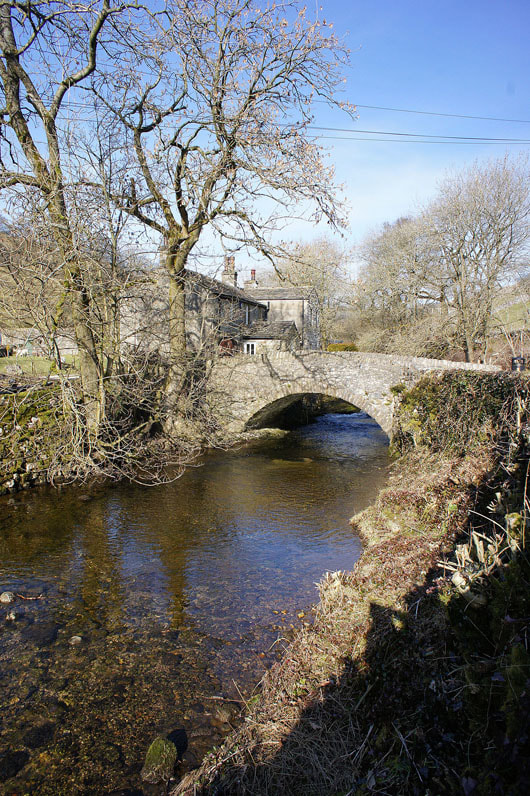
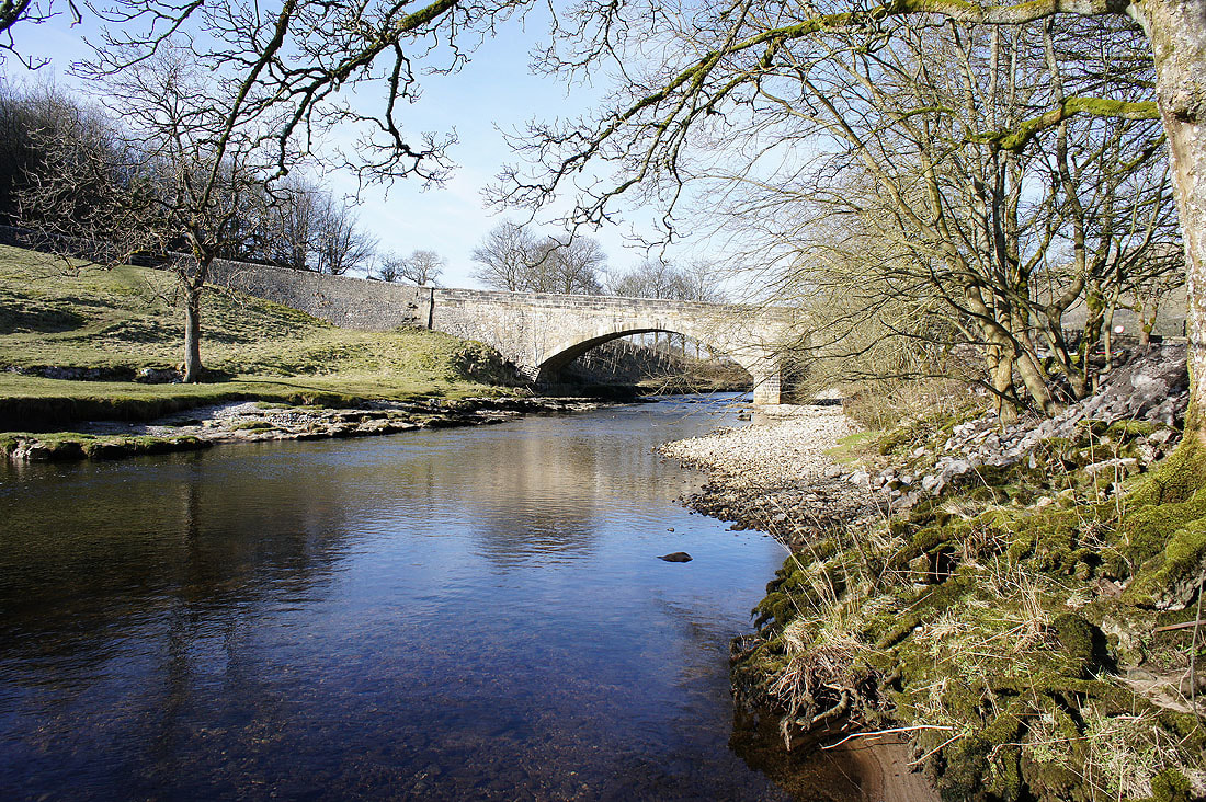
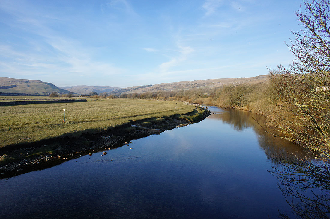
The final shot of the day is the Wharfe from Conistone Bridge
