24th January 2009 - Arthur's Pike, Bonscale Pike and Loadpot Hill
Walk Details
Distance walked: 10.8 miles
Total ascent: 2149 ft
OS map used: OL5 - The English Lakes, North-eastern area
Time taken: 6 hrs
Route description: Howtown-Auterstone-Barton Fell-Arthur's Pike-Bonscale Pike-Loadpot Hill-Barton Fell-Auterstone-Howtown
A snowy walk in the far eastern fells.
From Howtown I took the path that runs along the fellside above Ullswater and below Bonscale Pike and Arthur's Pike. After passing the woodland of Barton Park I then made my way up Barton Fell to reach the summit of Arthur's Pike. From Arthur's Pike I then visited the summit of Bonscale Pike before making my way to the summit of Loadpot Hill. My route back was north down Barton Fell and back along the path above Ullswater.
Route map
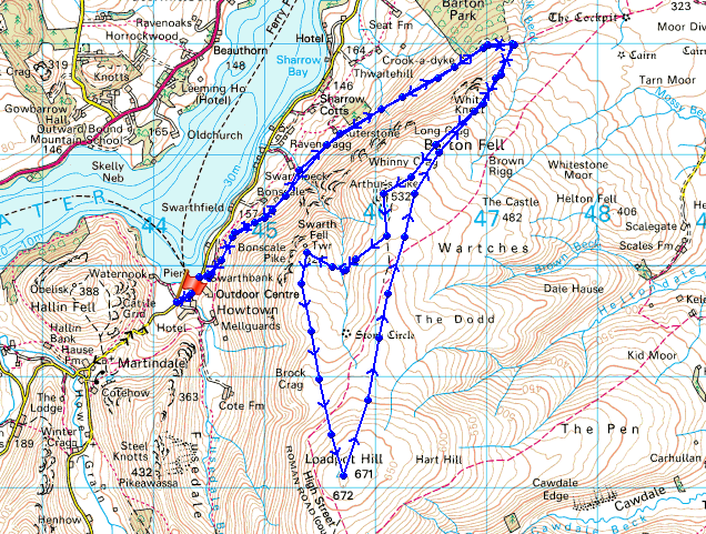
© Crown copyright. All rights reserved. License number PU 100034184.
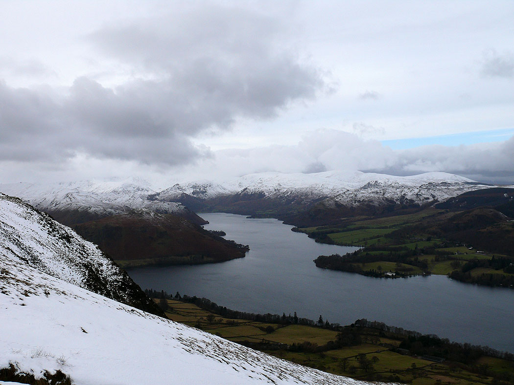
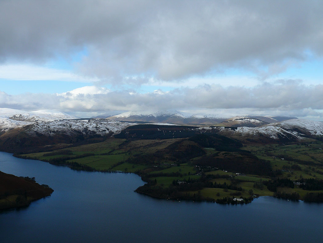
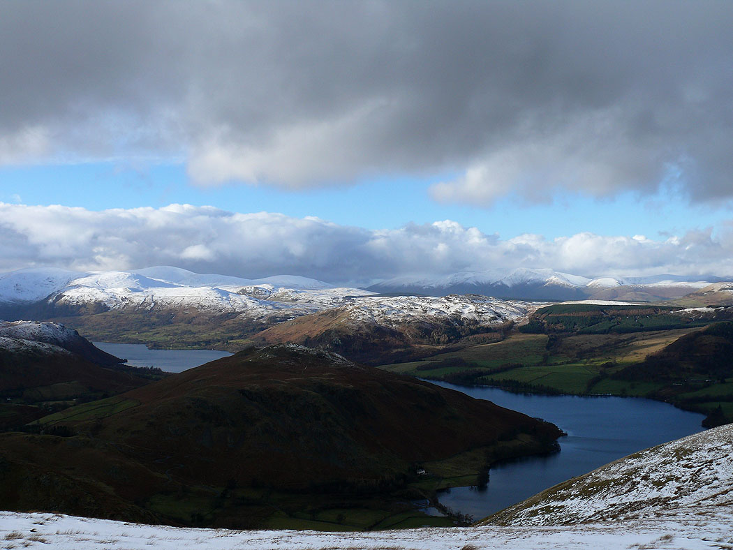
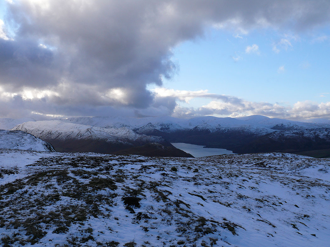
The view up Ullswater from Arthur's Pike

Mell Fells on the other side of Ullswater
Zooming in on Helvellyn
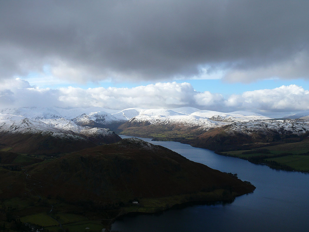
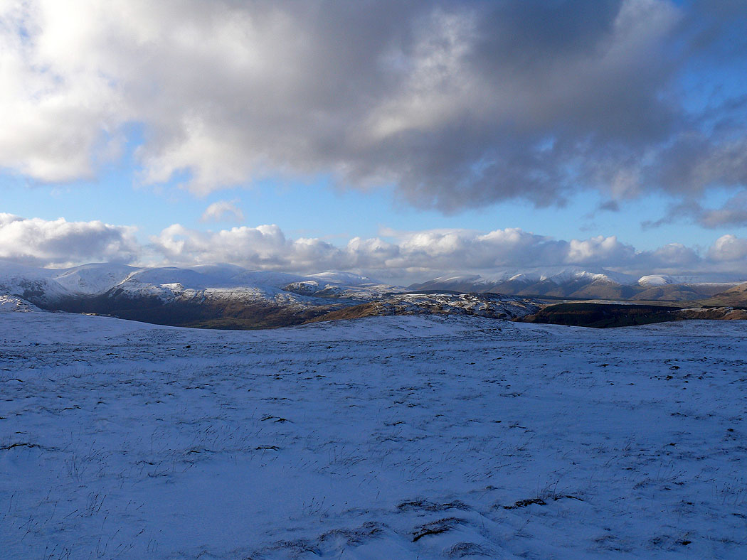
On the summit of Bonscale Pike and the view across Ullswater to the snow covered Dodds
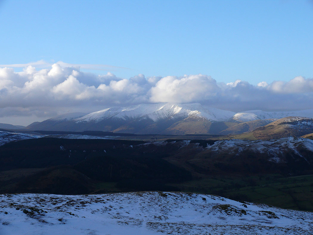
Cloud on Blencathra in the distance
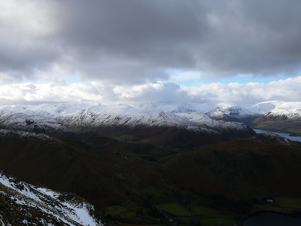
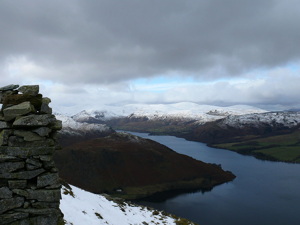
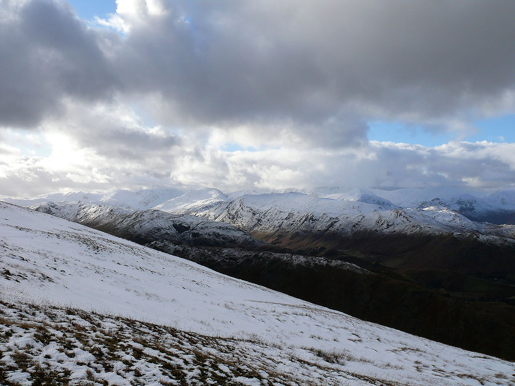
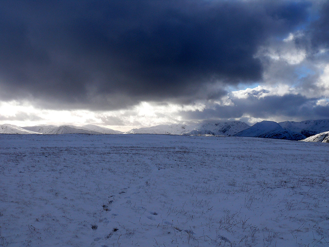
Across Martindale to Place Fell with Fairfield and Helvellyn beyond
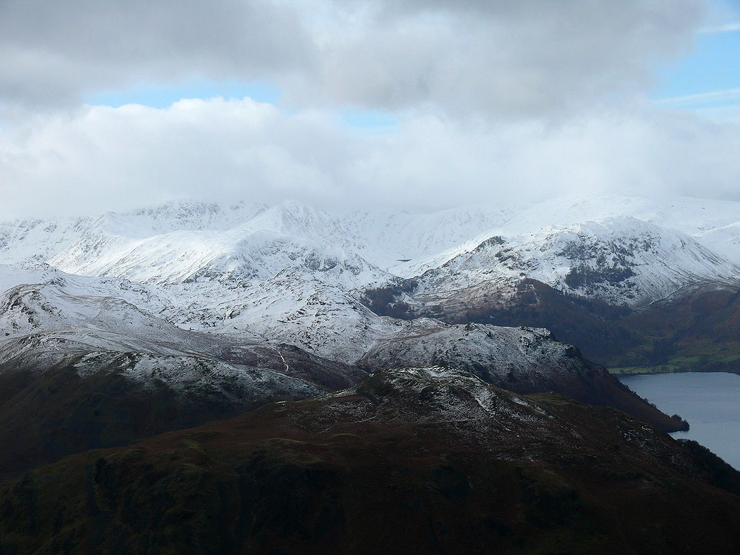
Dove Crag, Hart Crag, Fairfield and St. Sunday Crag
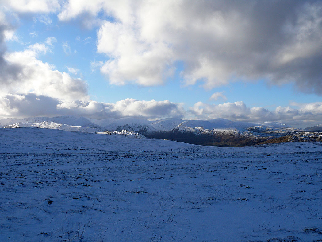
Sunshine on the Dodds
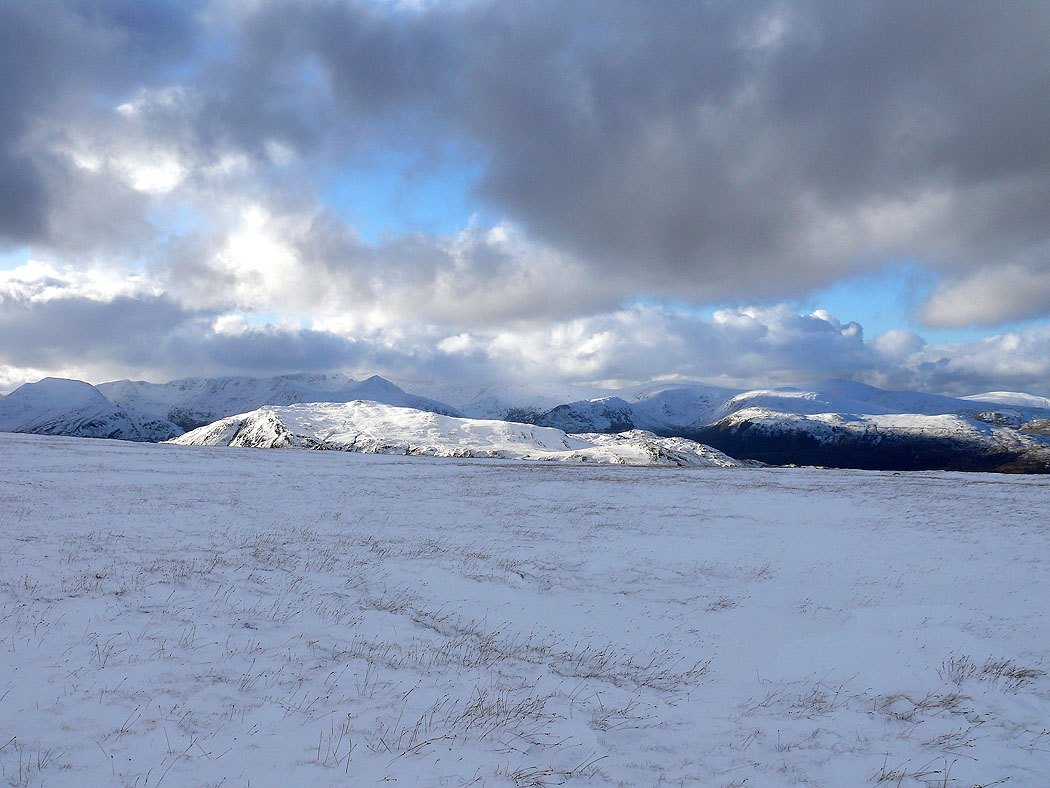
The view across to Fairfield and Helvellyn as I make my way up Loadpot Hill
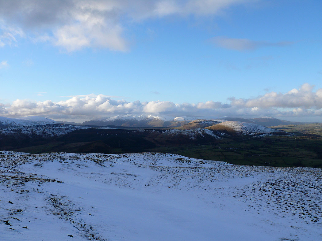
Great Dodd, Clough Head and Blencathra in the distance with Hallin Fell below
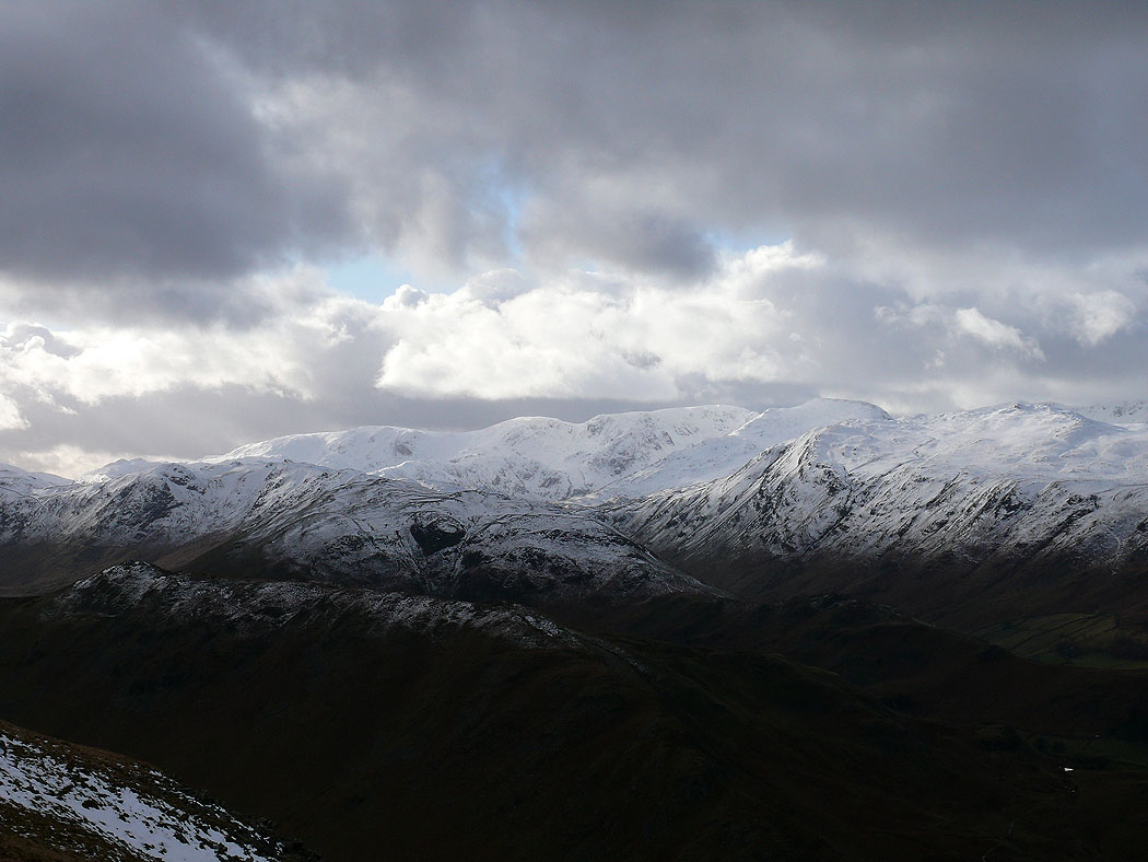
Zooming in on Dove Crag, Hart Crag, Fairfield and St. Sunday Crag
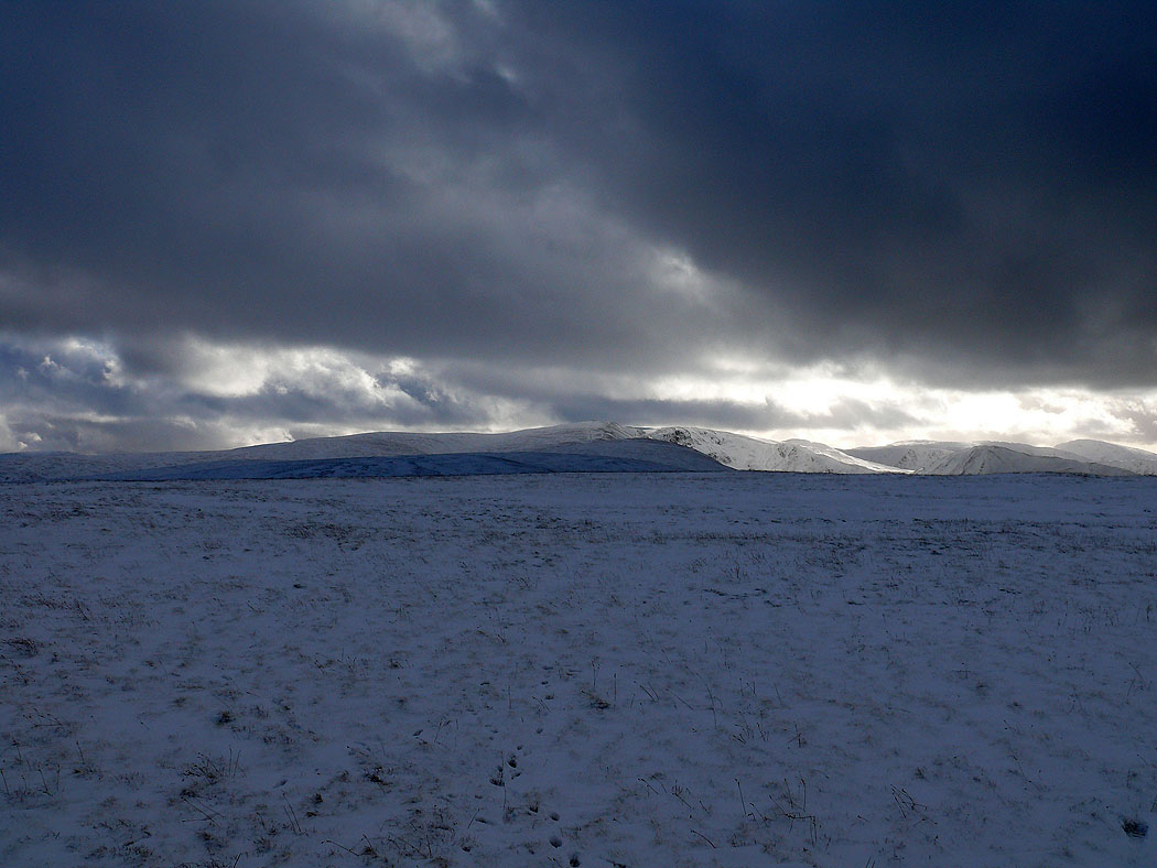
On a bleak looking summit of Loadpot Hill and the view up towards High Street
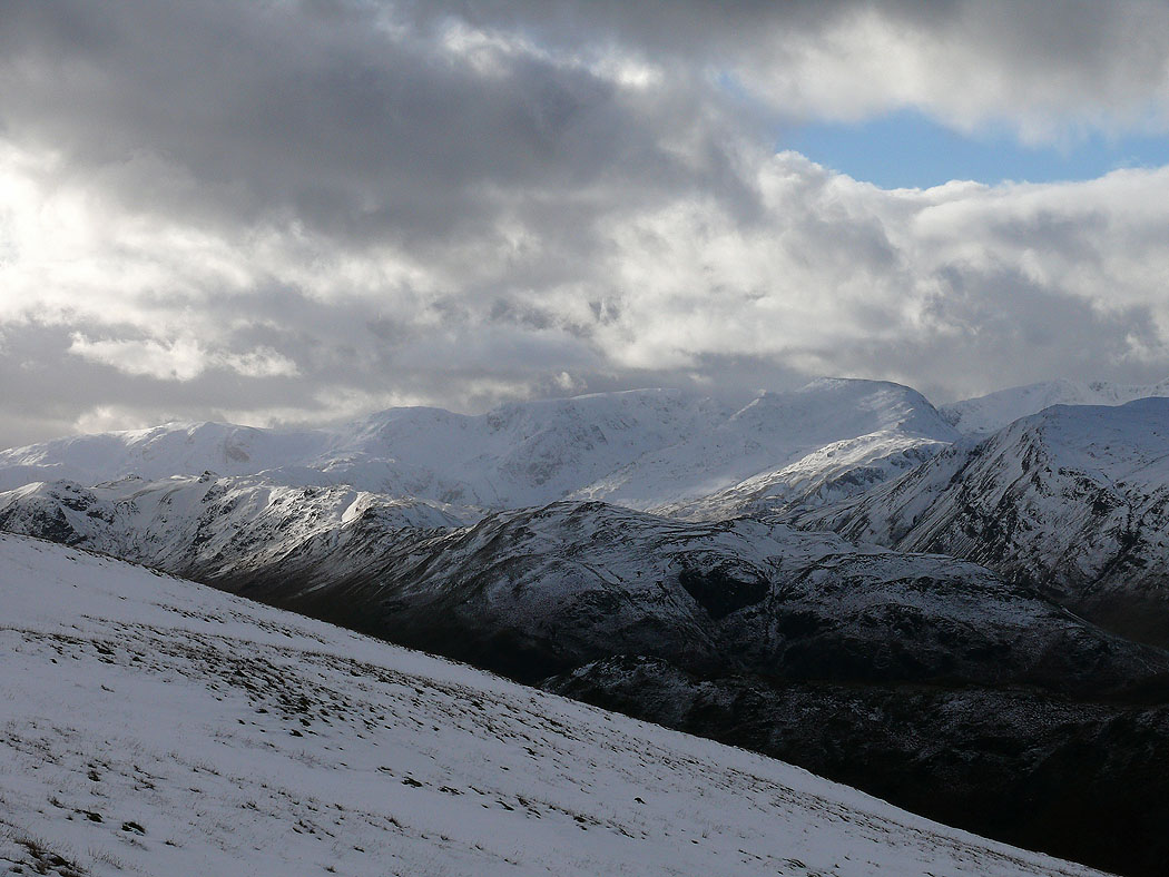
The view southwest towards Red Screes, Dove Crag, Hart Crag, Fairfield and St. Sunday Crag
Looking west to St. Sunday Crag, Helvellyn and the Dodds. Place Fell in sunshine in front of the pointed Catstye Cam.
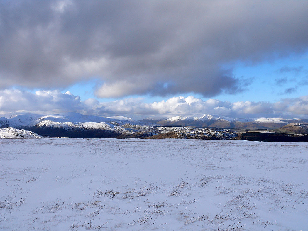
The Dodds and Blencathra
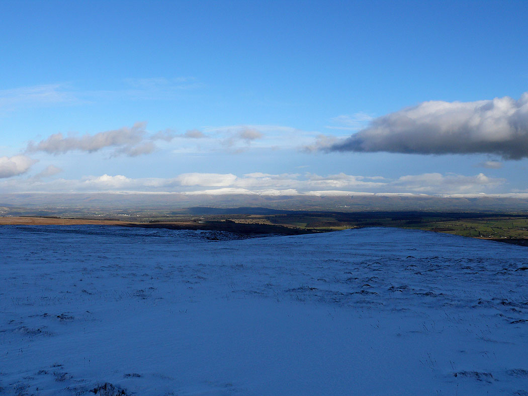
Snow covered Cross Fell and the North Pennines
and again as I head for Barton Fell and the route back
Helvellyn and the Dodds
The Dodds and Blencathra
Zooming in on Blencathra from Barton Fell
Helvellyn and the Dodds
Blencathra, the Mell Fells and Carrock Fell
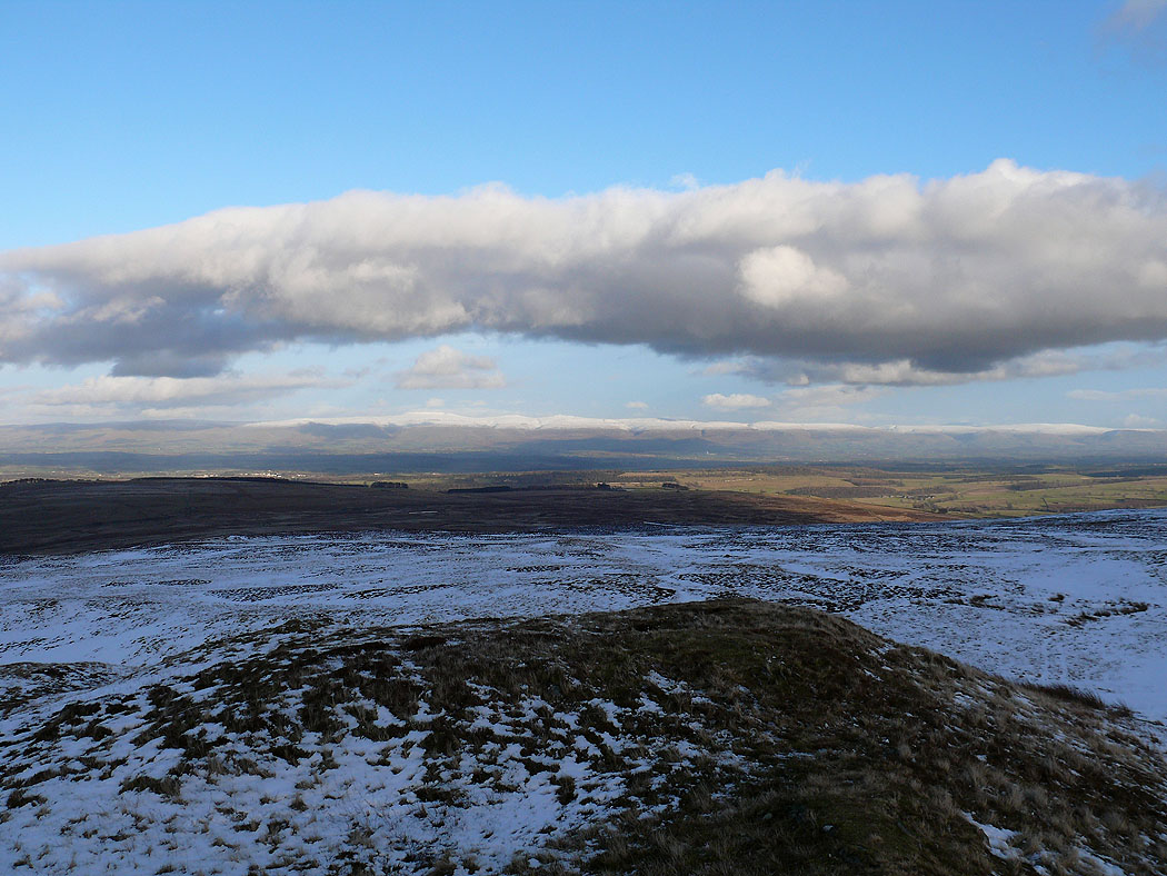
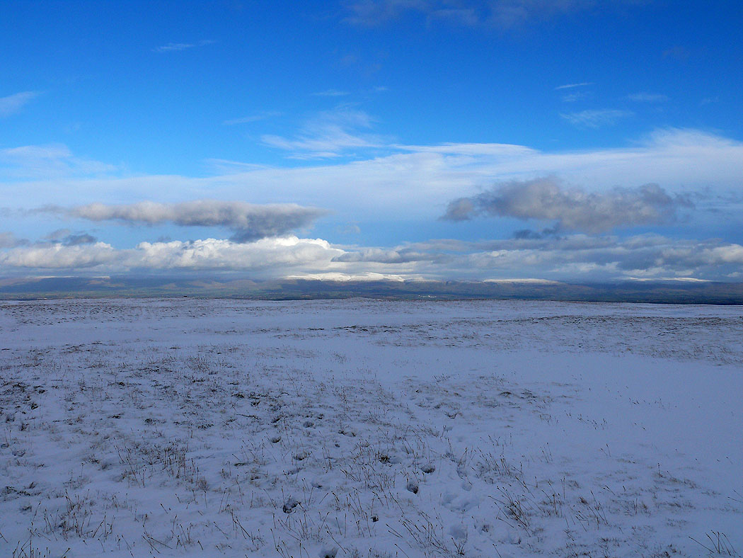
Cross Fell and the North Pennines from Barton Fell
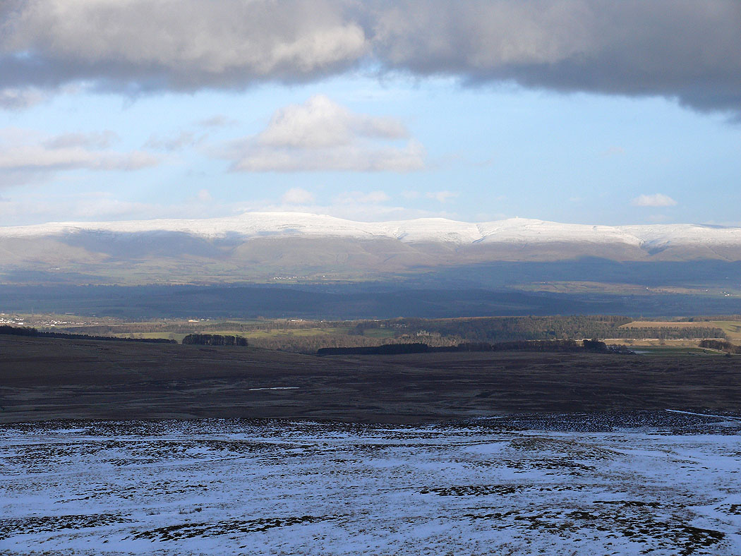
The final shot of the day zooming in on Cross Fell