24th January 2021 - Weets Hill
Walk Details
Distance walked: 8.8 miles
Total ascent: 1568 ft
OS map used: OL21 - South Pennines
Time taken: 5.5 hrs
Route description: Foulridge-Hey-Hey Fold-Booth House Farm-High Lane-Copy Nook-Lister Well Road-Folly Lane-Pendle Way-Weets Hill-Weets House Farm-Gisburn Old Road-Peel's House Farm-Hollin Hall-Barnoldswick Road-Slipper Hill Reservoir-Reedymoor Lane-B6251-Foulridge
Exactly the same walk two weekends in a row. How unimaginative of me, but for a walk from home Weets Hill gives the best views. Winter is back, and with a light cover of snow on the moors the landscape and views are quite different from last time. I set off from home with a lot of thick high cloud in the skies, making any sunshine very hazy. It made things look bleak and wintry. I could see clearer skies to the north and while I was on Weets Hill it looked like they were on their way to me, so I spent quite a bit of time waiting to see if they would. They did, and the wait was worthwhile, as the better light made for much better views and photos.
Setting off from home I walked to the western end of Station Road and took the footpath straight up the hill and across fields to the corner of Whitemoor Road. Here I turned right and took a lane past some houses, then a footpath on the right down to Hey Fold. The next bit was a little complicated as I took the footpath right at Hey Fold, then left across the crest of a little hill and past Hullet Hall down to County Brook Lane. I briefly walked down the lane, took a footpath on the left through a patch of woodland and across a bridge over County Brook, before resuming following footpaths north across fields past Wood End Farm to Booth House Farm, where I took a footpath up a field to High Lane. I then walked a short distance north along High Lane, then took a track on the left and followed it uphill past Copy Nook to the bridleway of Lister Well Road. I then walked down Lister Well Road until I reached a gate on the left and a footpath across access land to Higher View at the top of Folly Lane. I then walked down Folly Lane until I reached a stile and the trail of the Pendle Way. The stile was crossed and the Pendle Way followed up to the summit of Weets Hill. After taking in the view I returned to the Pendle Way to reach Weets House Farm at the top of Gisburn Old Road. I then walked down Gisburn Old Road until I reached Peel's House Farm where I took a bridleway on the right, then at the end of this I turned left and followed a footpath by the wall, before crossing the wall and taking a footpath down through fields to Hollin Hall on Barnoldswick Road. I crossed the road and took the footpath opposite down through fields to where it meets the lane by Slipper Hill Reservoir. I then took the footpath round Slipper Hill Reservoir to reach a track past Sand Hall towards Reedymoor Lane. I left this lane for a path on the left by the old railway line, which I followed east until I reached a footpath on the right which took me across a couple of fields to Reedymoor Lane. After walking north along Reedymoor Lane I turned right onto the B6251 and followed this back to Foulridge and home.
Route map
© Crown copyright. All rights reserved. License number PU 100034184.
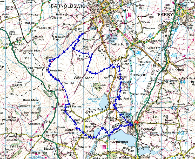
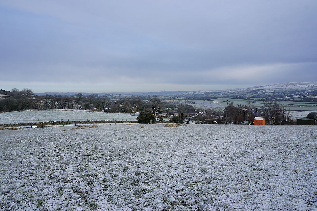
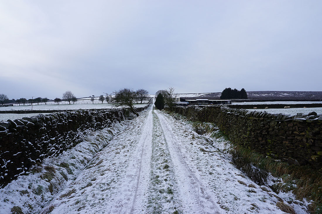
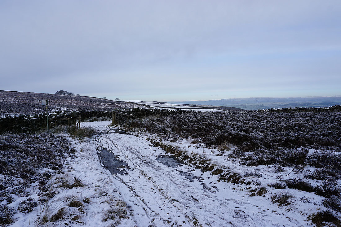
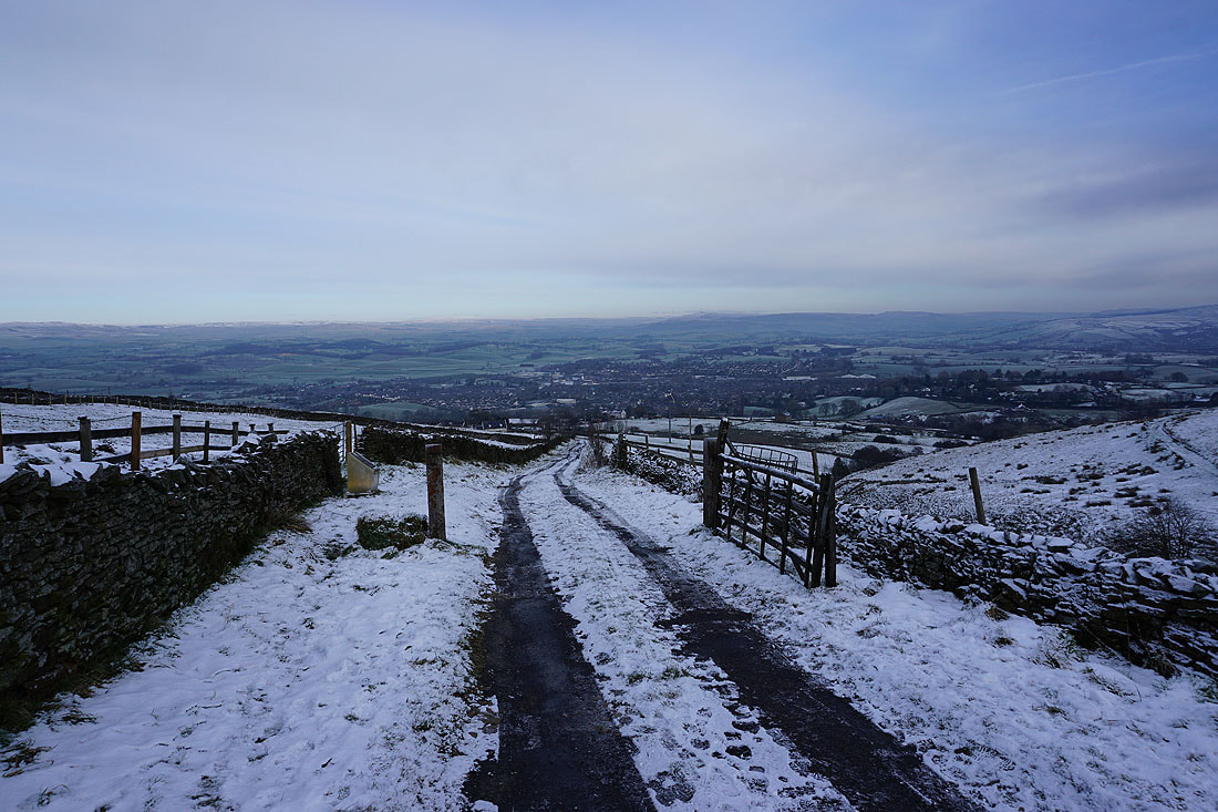
Leaving Foulridge behind as I take the path up to Hey..

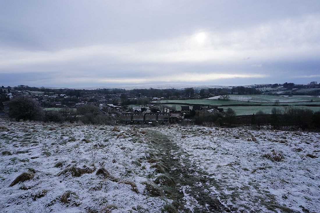
Bleara Moor and Kelbrook Moor as I take the path north to County Brook Lane
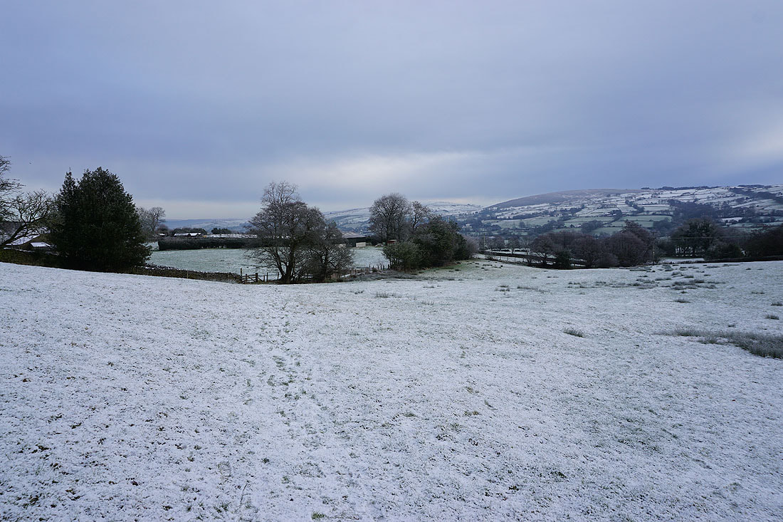
Looking back to Boulsworth Hill in the distance
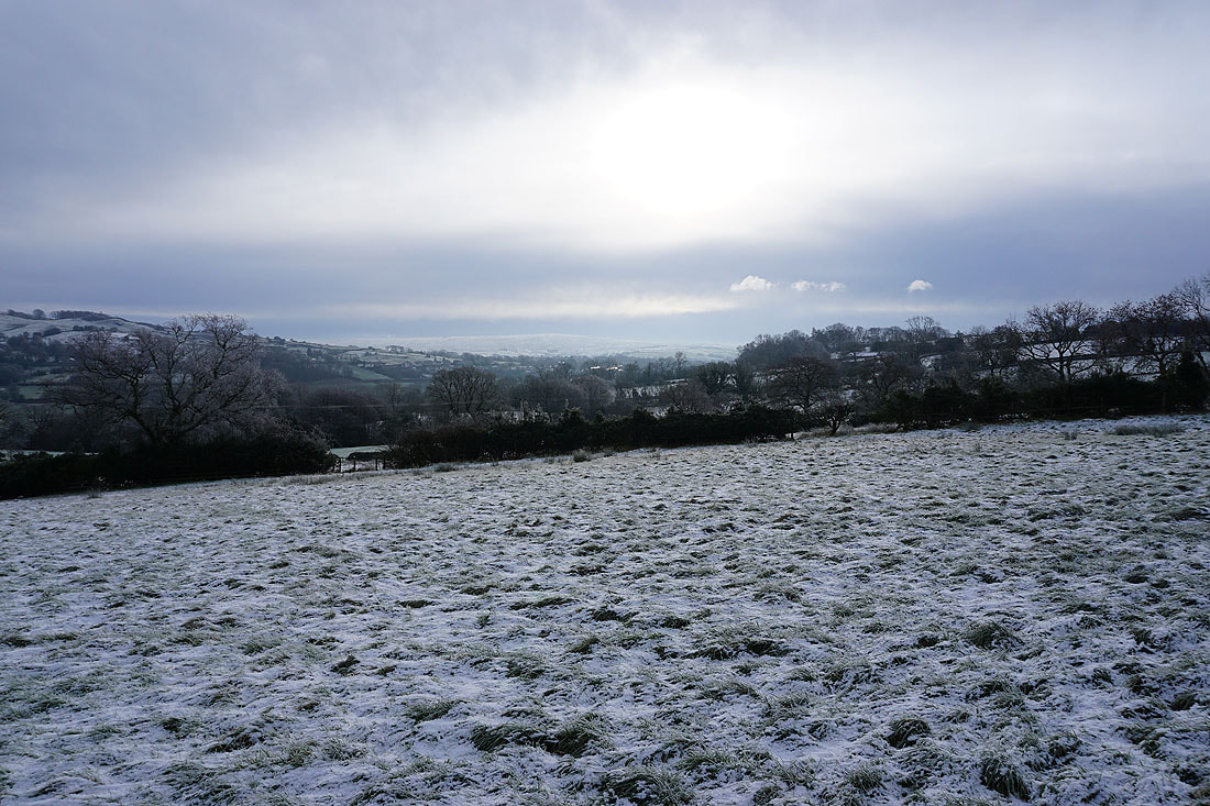
It looks like there are clearer skies to the north over the Yorkshire Dales
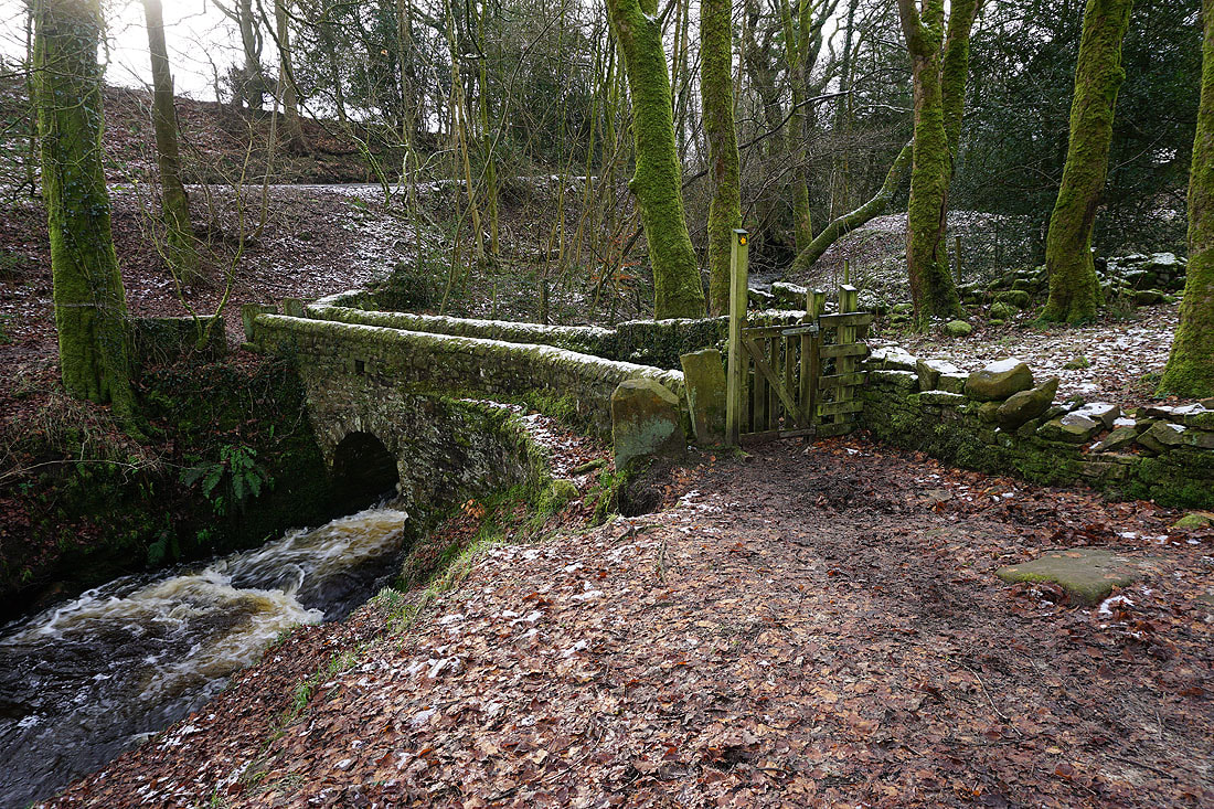
The footbridge over County Brook
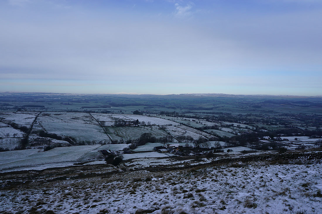
Kelbrook Moor as I follow the field path to Booth House Farm
Boulsworth Hill in the distance from..
..the track up to Copy Nook
Looking back with Barden Moor, Thornton Moor and Bleara Moor in the distance
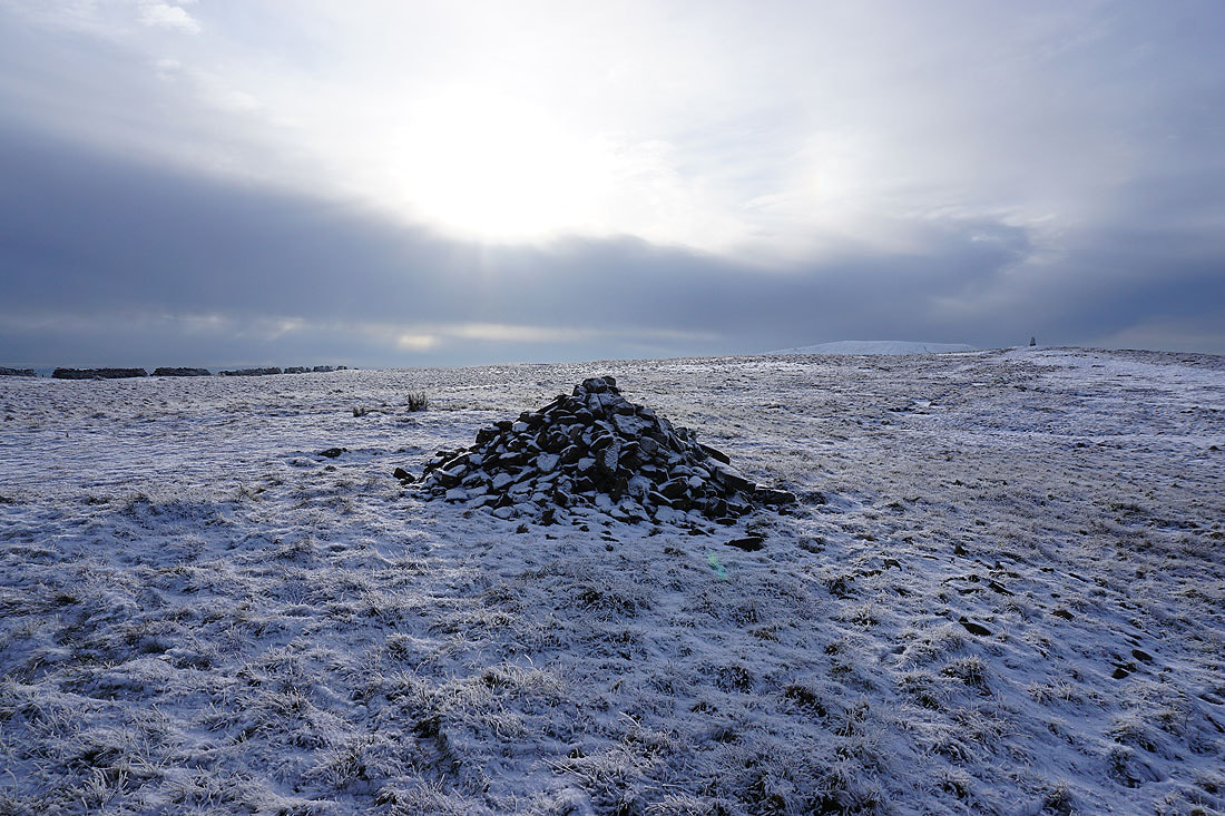
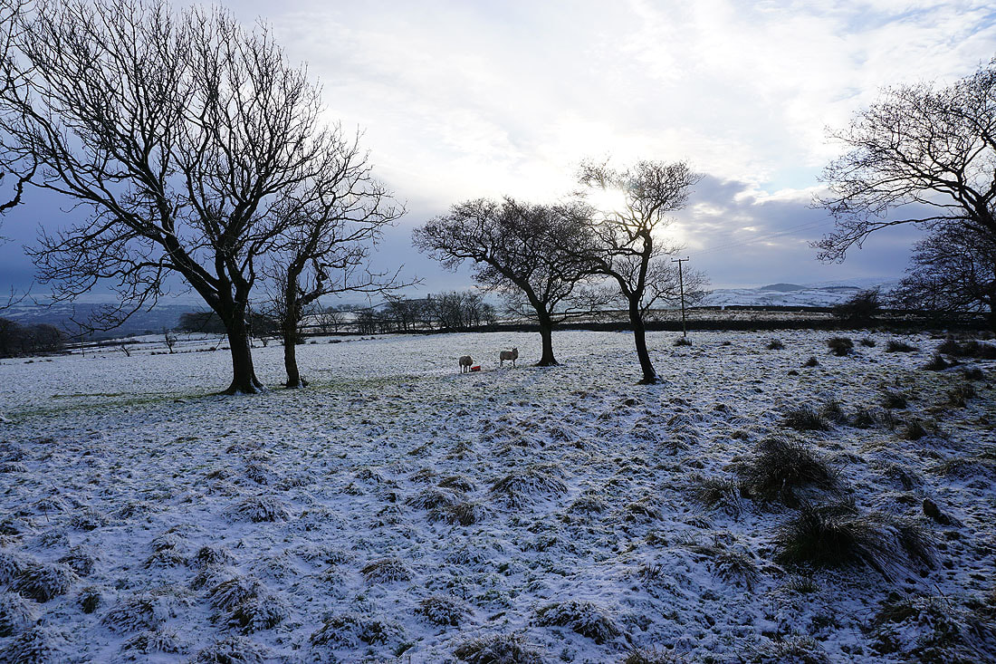
There isn't much snow for sledging, but full marks for trying
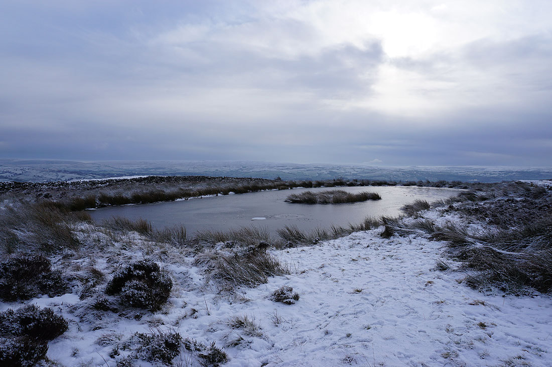
A distant Boulsworth Hill from a frozen pool on Lad Lowe Hill
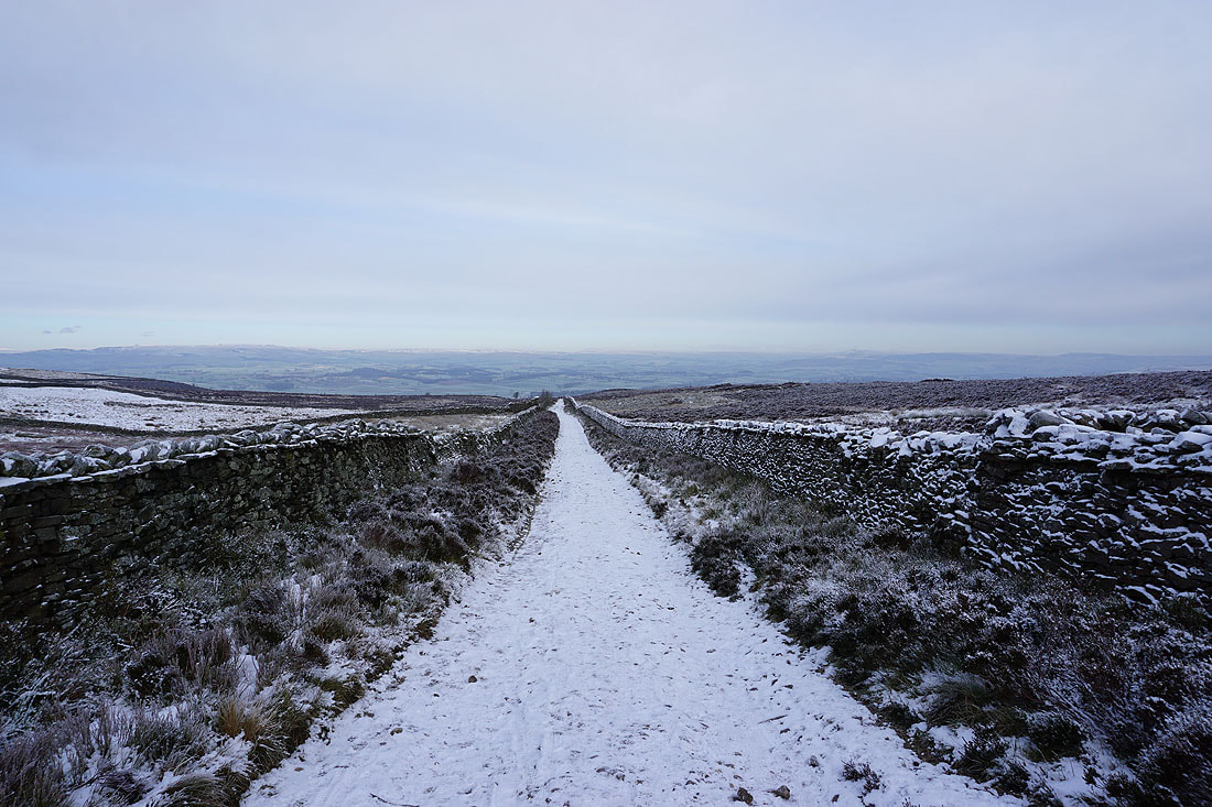
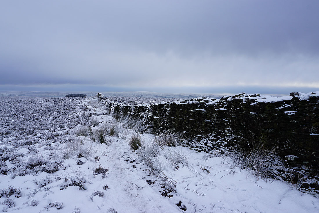
Joining the bridleway of Lister Well Road
Heading north down Lister Well Road
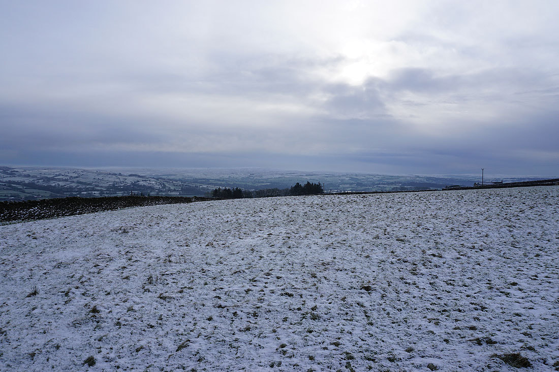
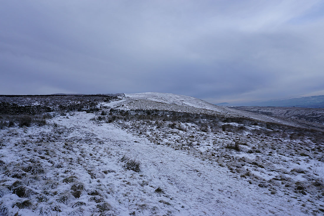
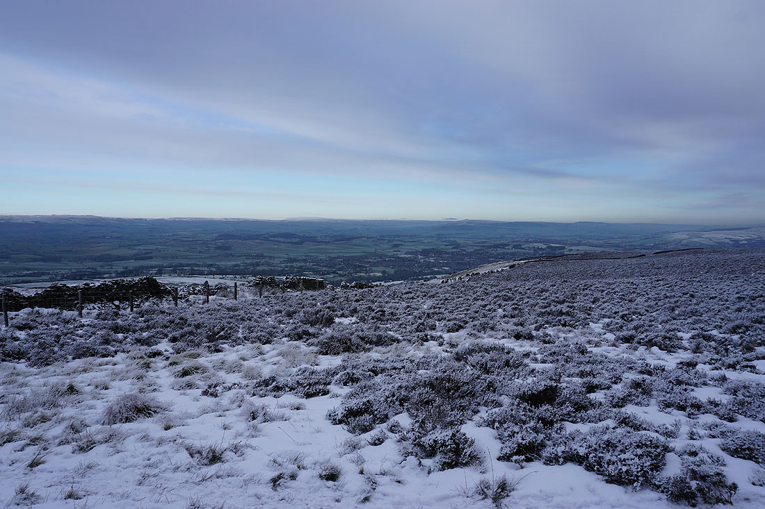
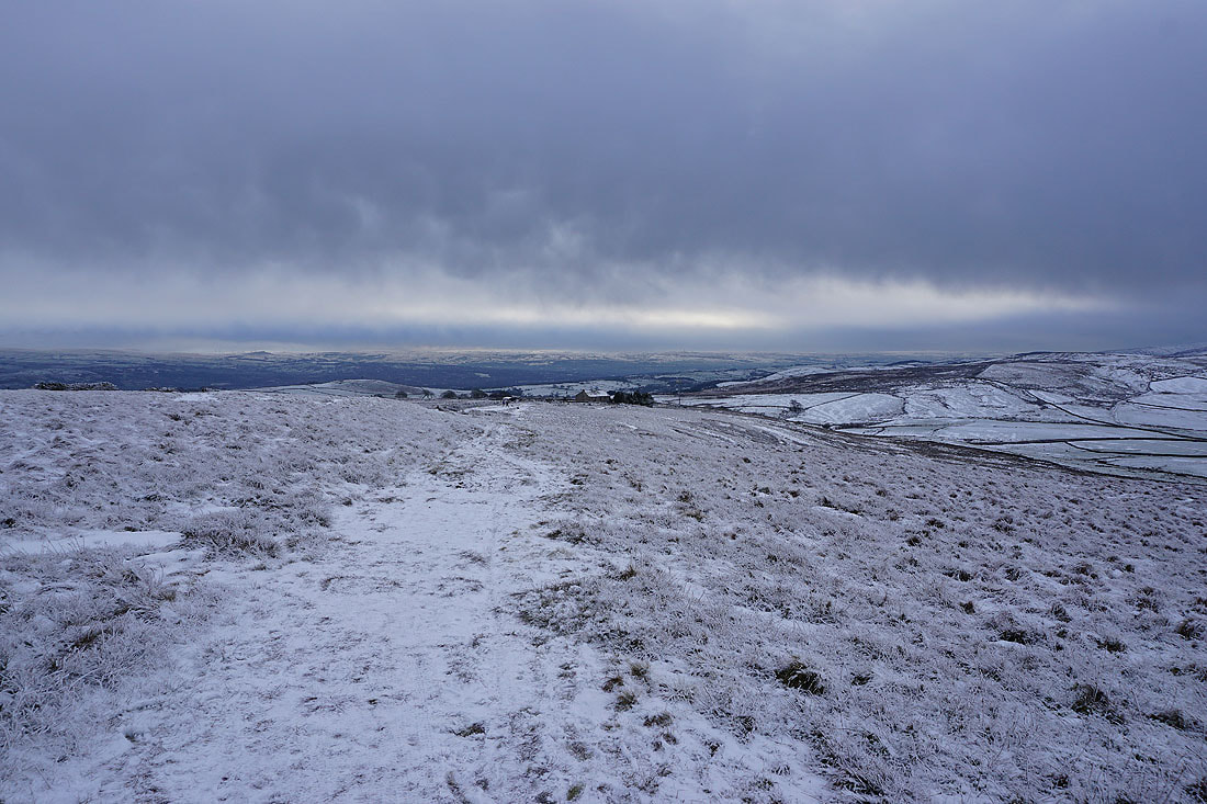
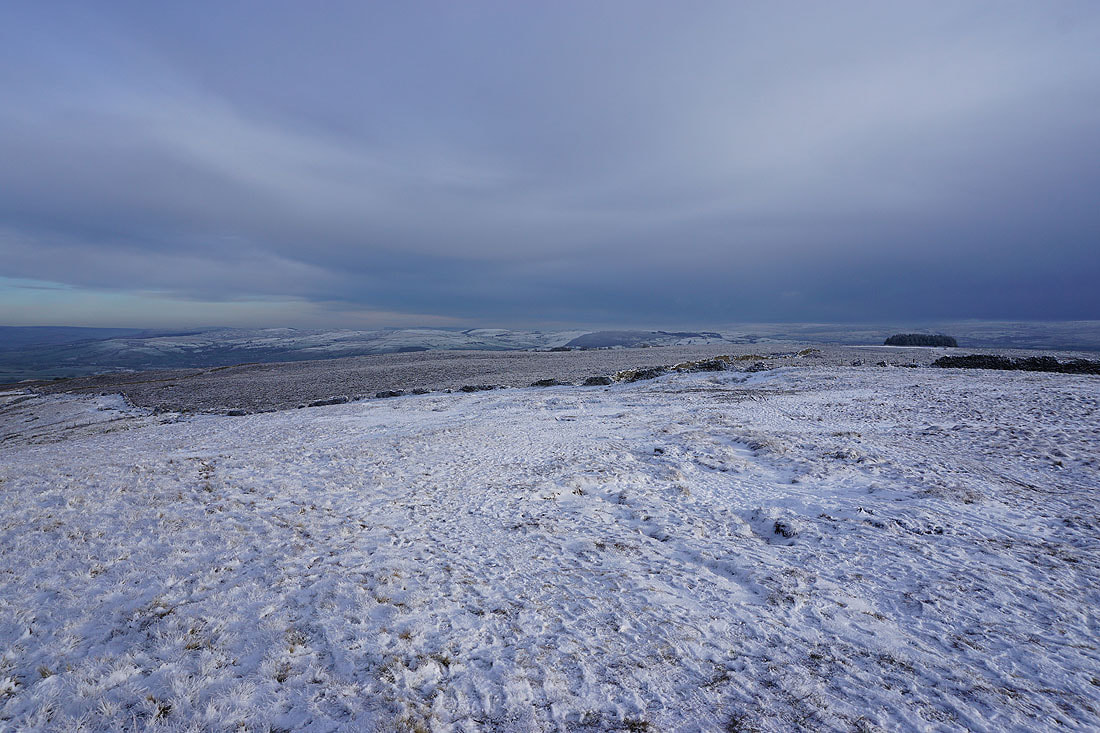
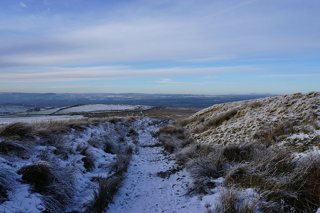
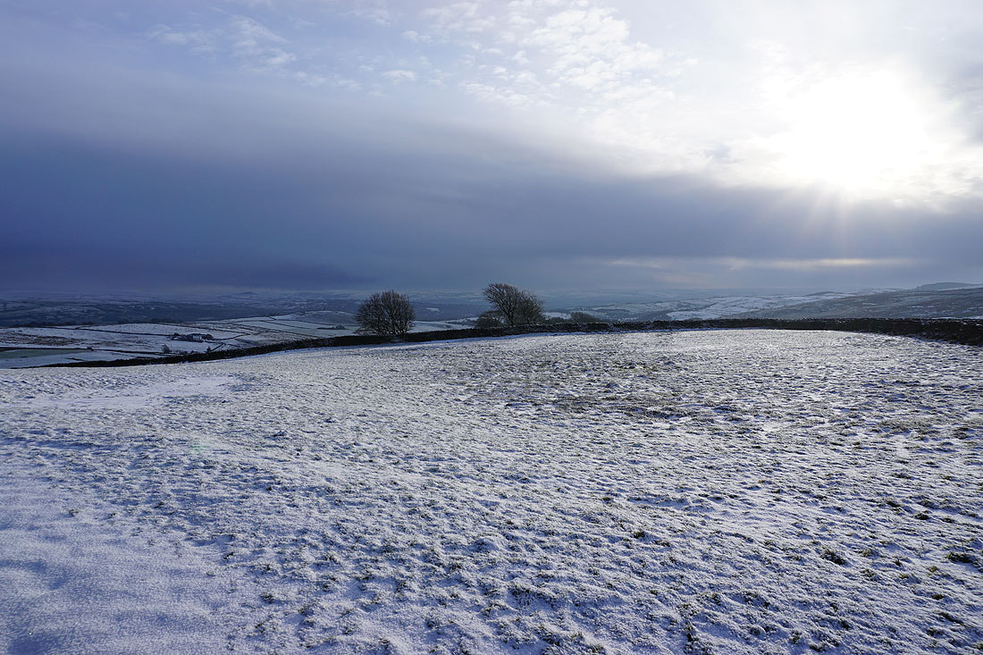
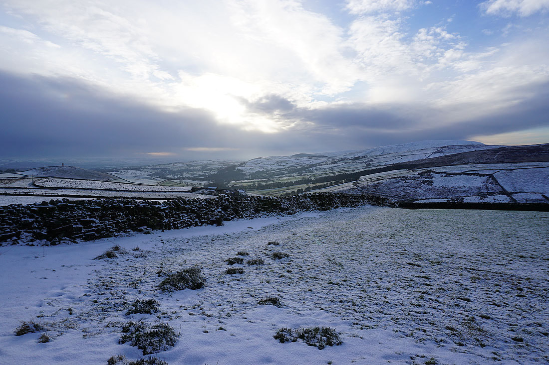
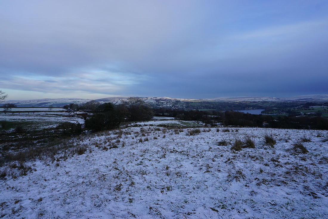
A bleak moorland view as I look east to Kelbrook Moor from the path across the moor to the top of Folly Lane
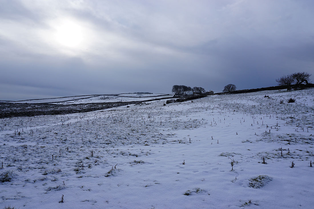
Prospect House set on a snow covered hillside
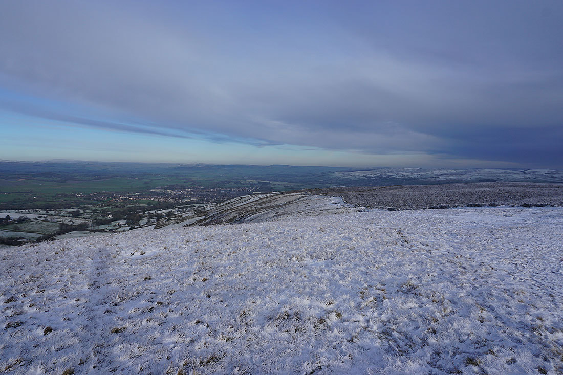
Barnoldswick below as I head down Folly Lane
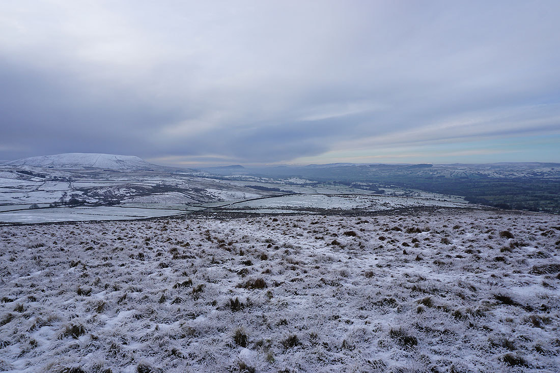
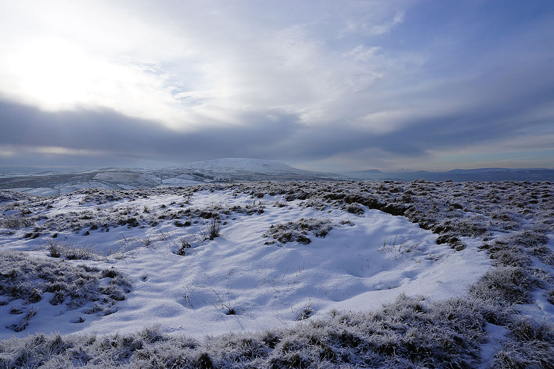
The sun shines on a snow covered Ingleborough to the north
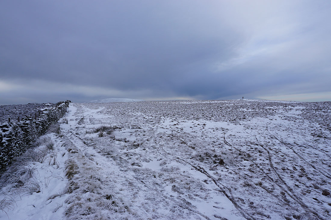
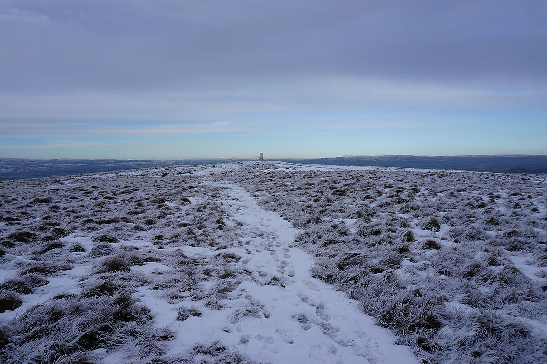
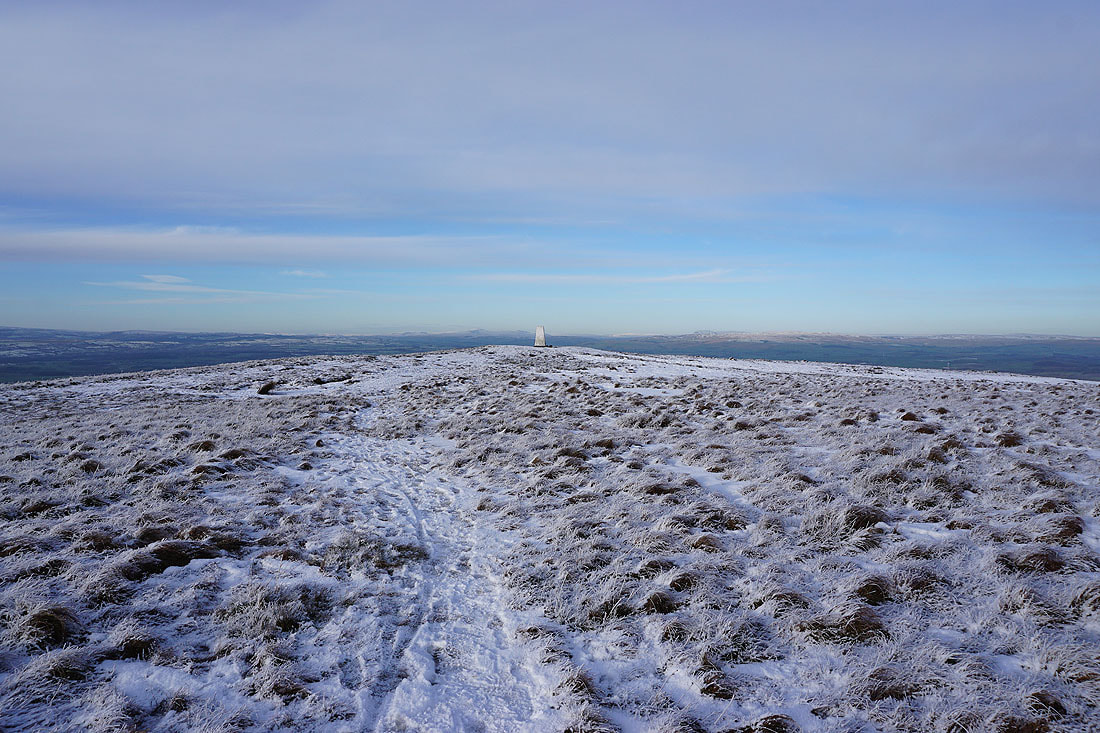
On the Pendle Way to the top of Weets Hill
Looking back with Barden Moor, Simon's Seat and Pinhaw Beacon in the distance. The high cloud is creating an interesting light.
Great Whernside in the distance from my lunch spot on a wall
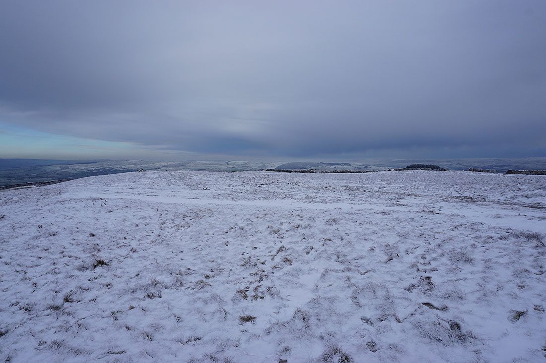
A bleak moorland view across to Boulsworth Hill
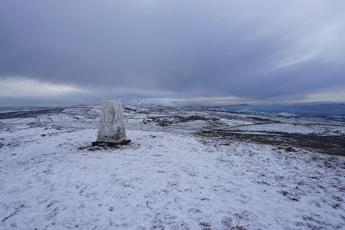
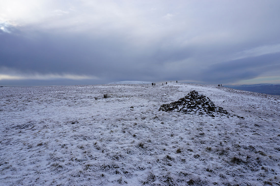
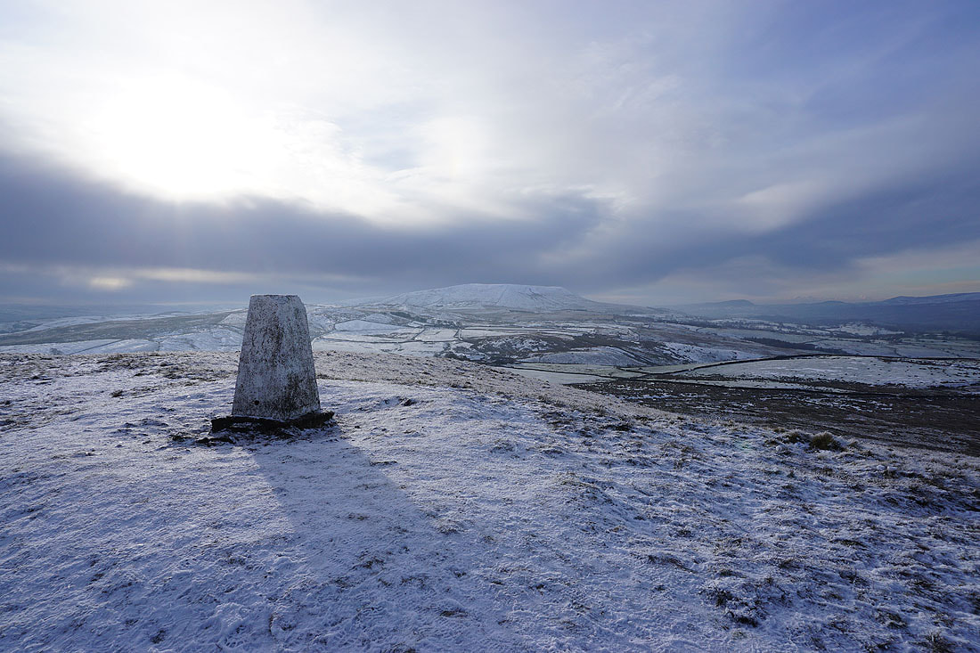
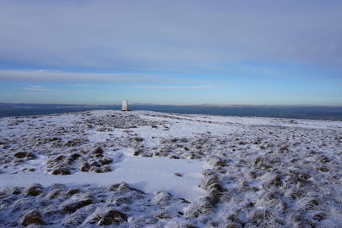
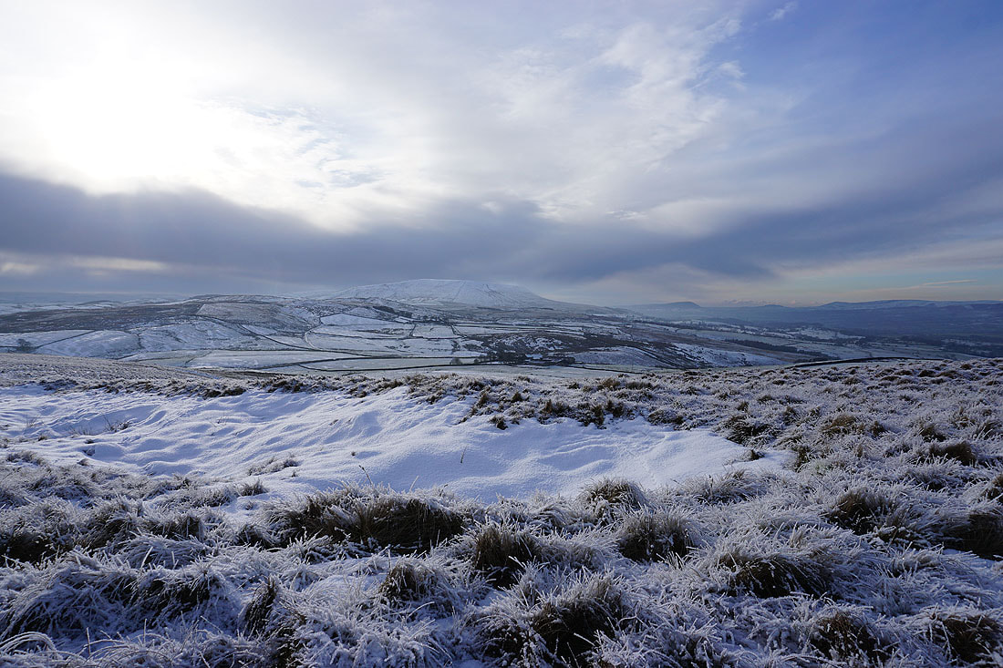
The top of Pendle Hill and the trig point
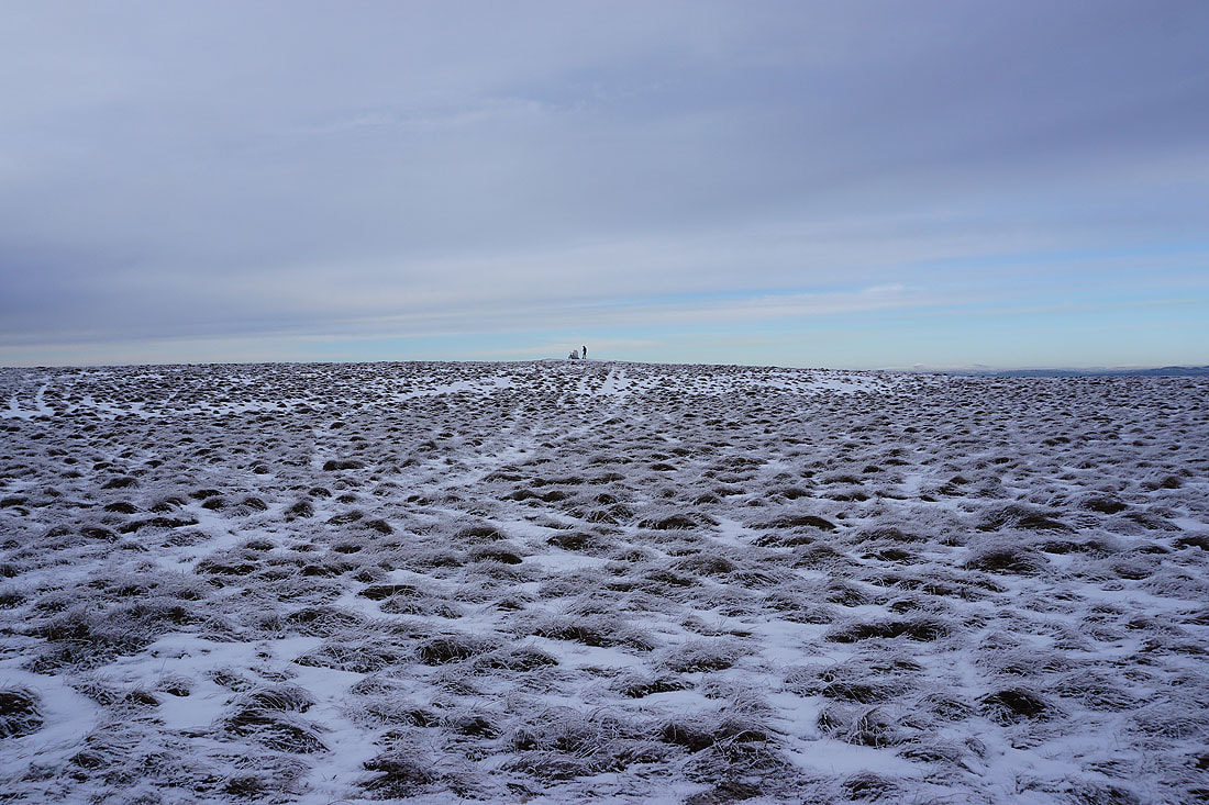
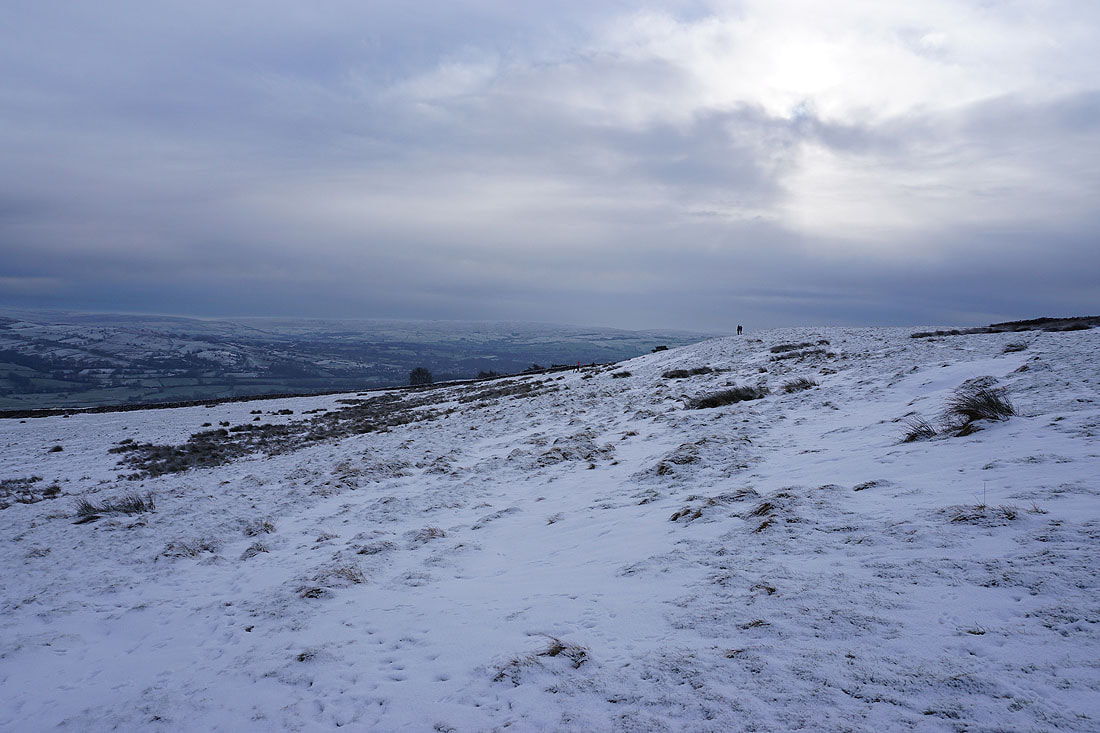
A mountain biker takes a break at the trig point
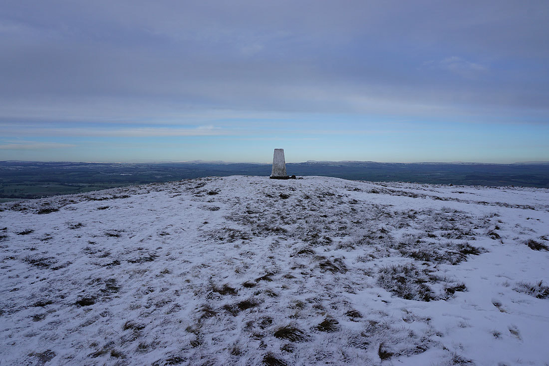
The trig point is unoccupied, so time to take in the view
Pendle Hill to the southwest
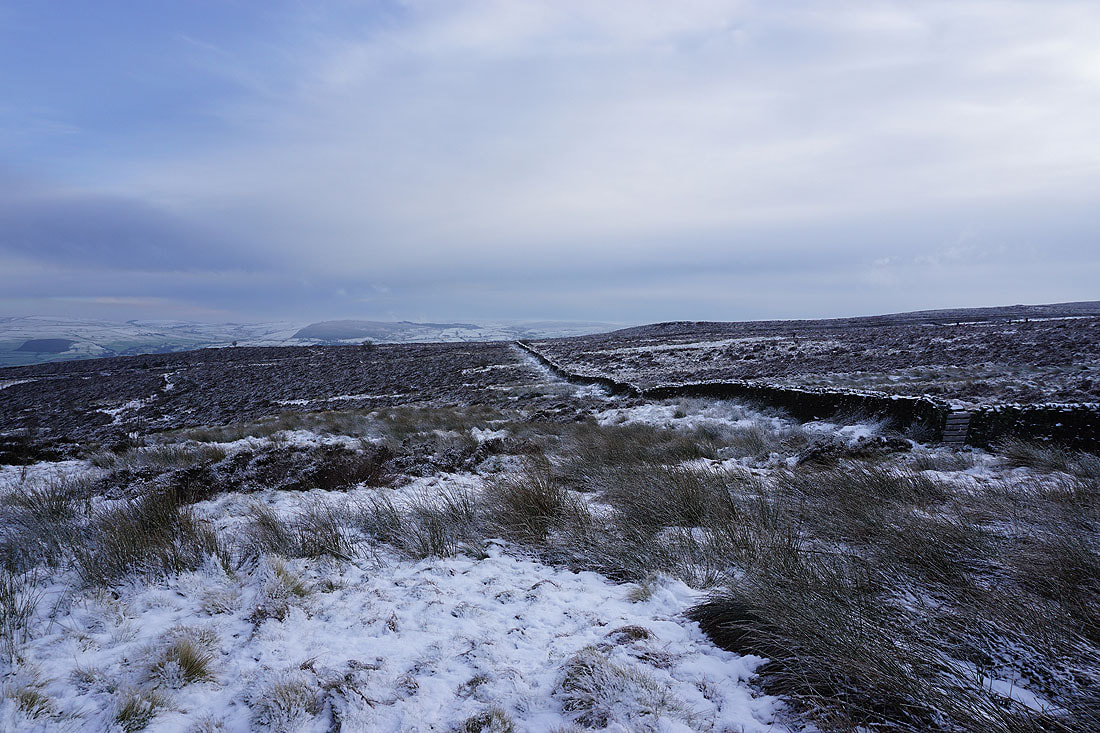
Thornton Moor, Bleara Moor and Kelbrook Moor to the east
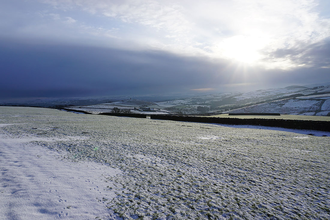
Ingleborough and Penyghent to the north. Fingers crossed that those clearer skies are heading this way. I'm going to hang around and find out.
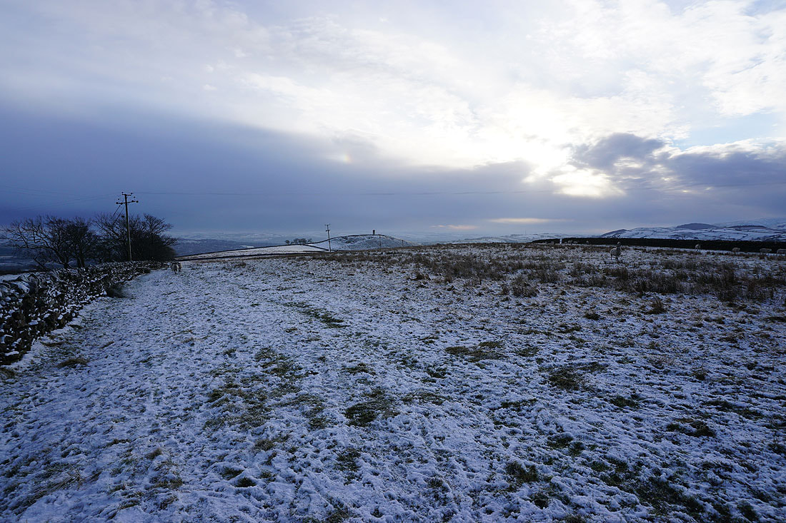
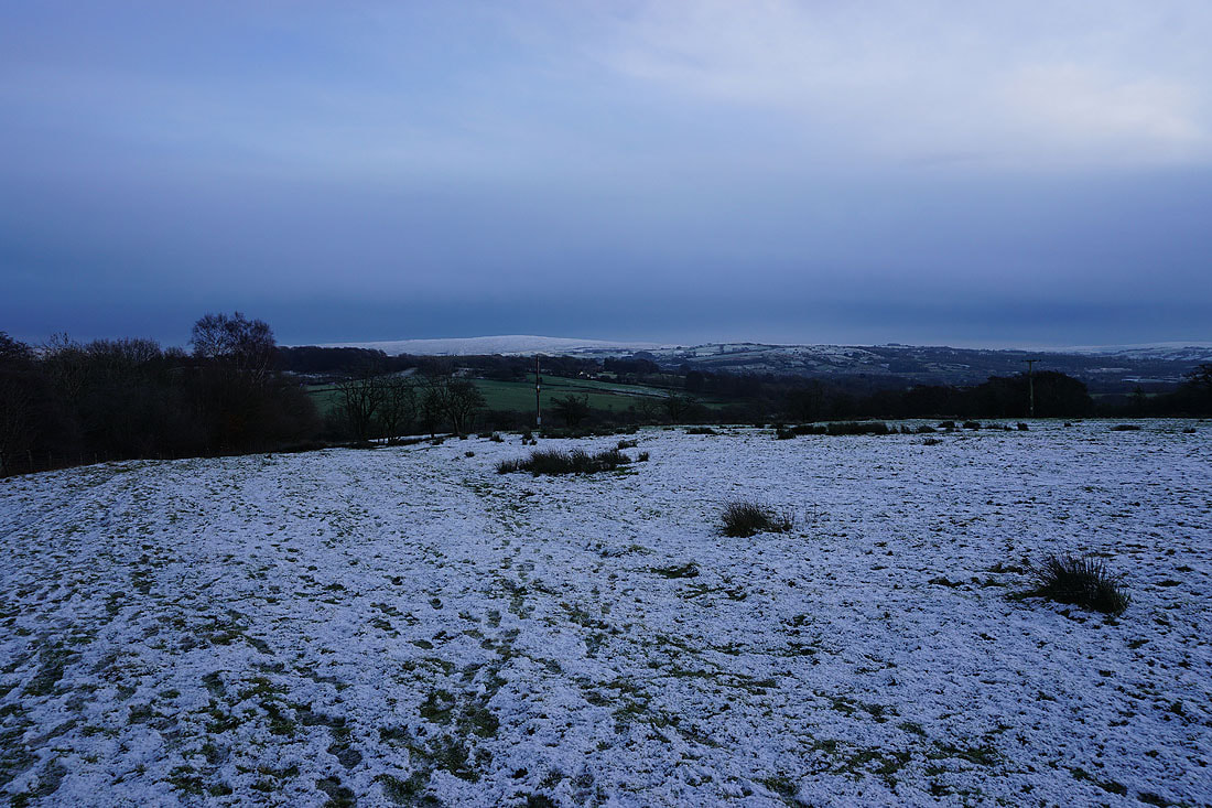
Bleak winter skies as I look towards Blacko Hill and Weets House Farm
The top of Pendle Hill from the eastern end of the hill
Pendle Hill, and the western hills of the Forest of Bowland on the other side of the Ribble Valley
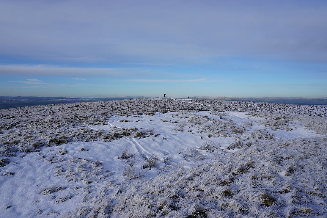
Look what I can see!
It looks like my wait has been worthwhile as the cloud starts to clear and bright sunshine arrives. Looking east to Thornton Moor, Bleara Moor and Kelbrook Moor.
and northeast to Great Whernside, Barden Moor, Simon's Seat and Thornton Moor, with Barnoldswick below
At the eastern end of the hill
Pendle Hill to the southwest
Looking north to Ingleborough and Penyghent in the Yorkshire Dales..
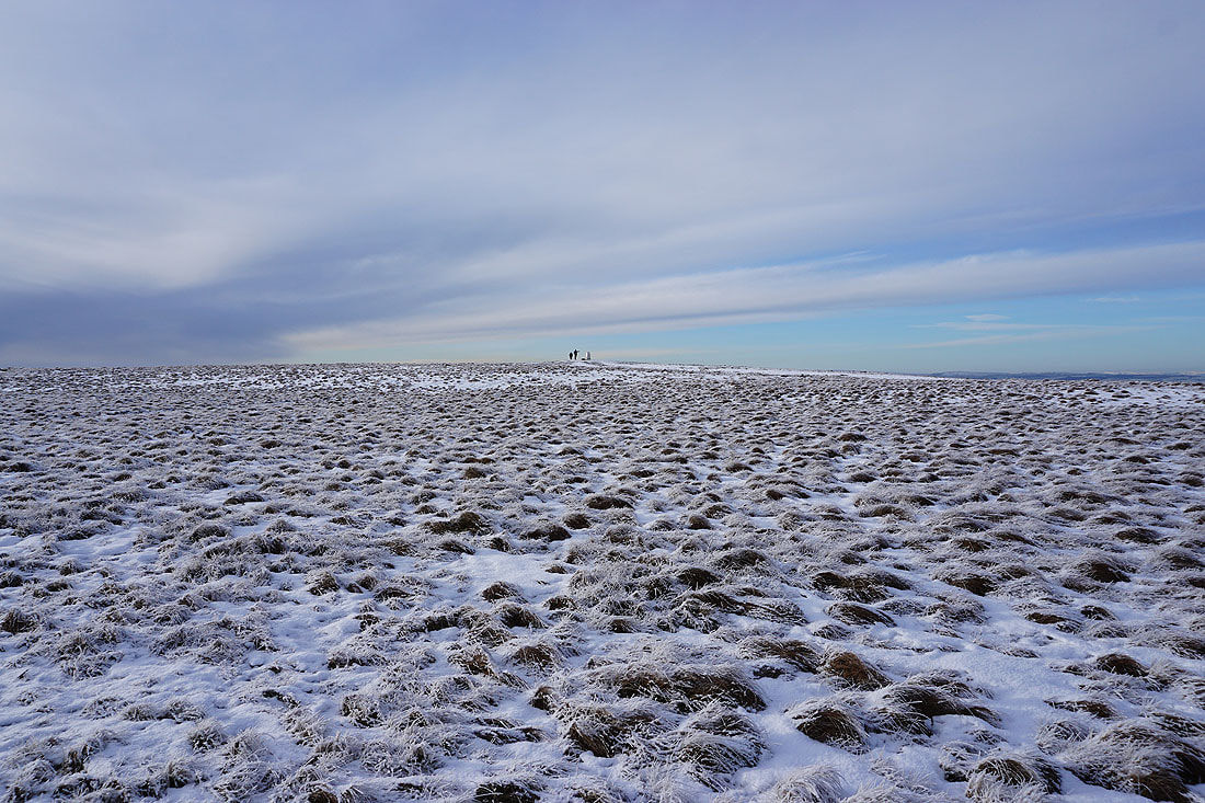
Small drifts of snow add a bit of interest to the views...
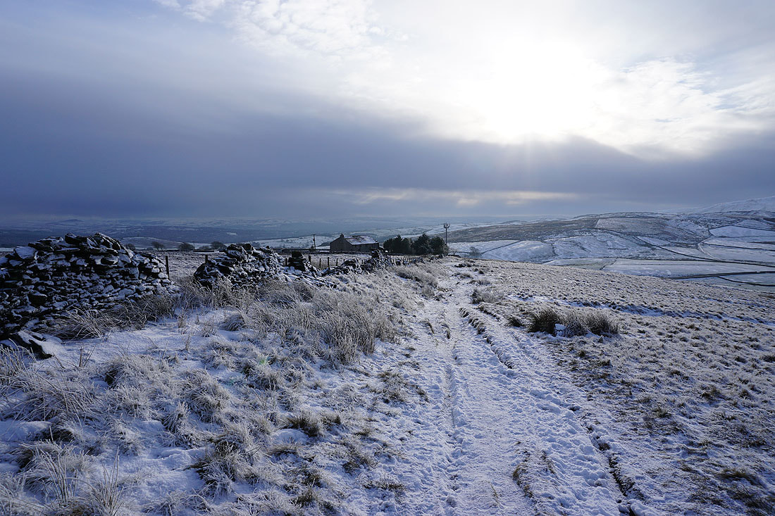
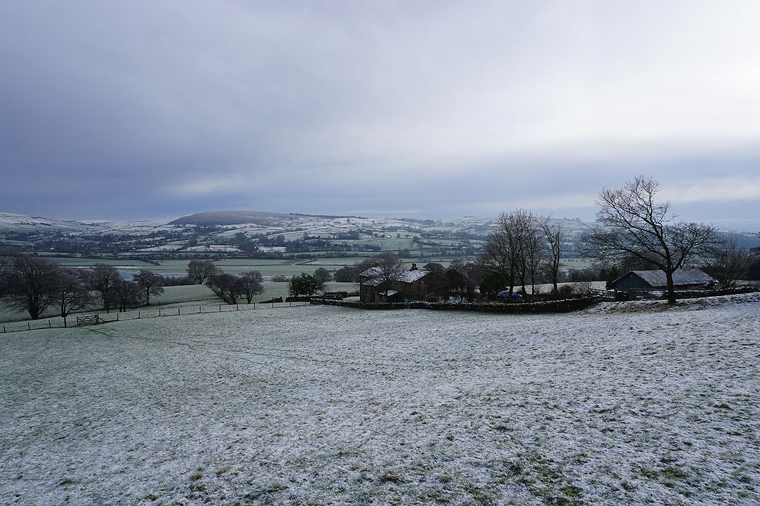
Heading for Weets House Farm at the top of Gisburn Old Road
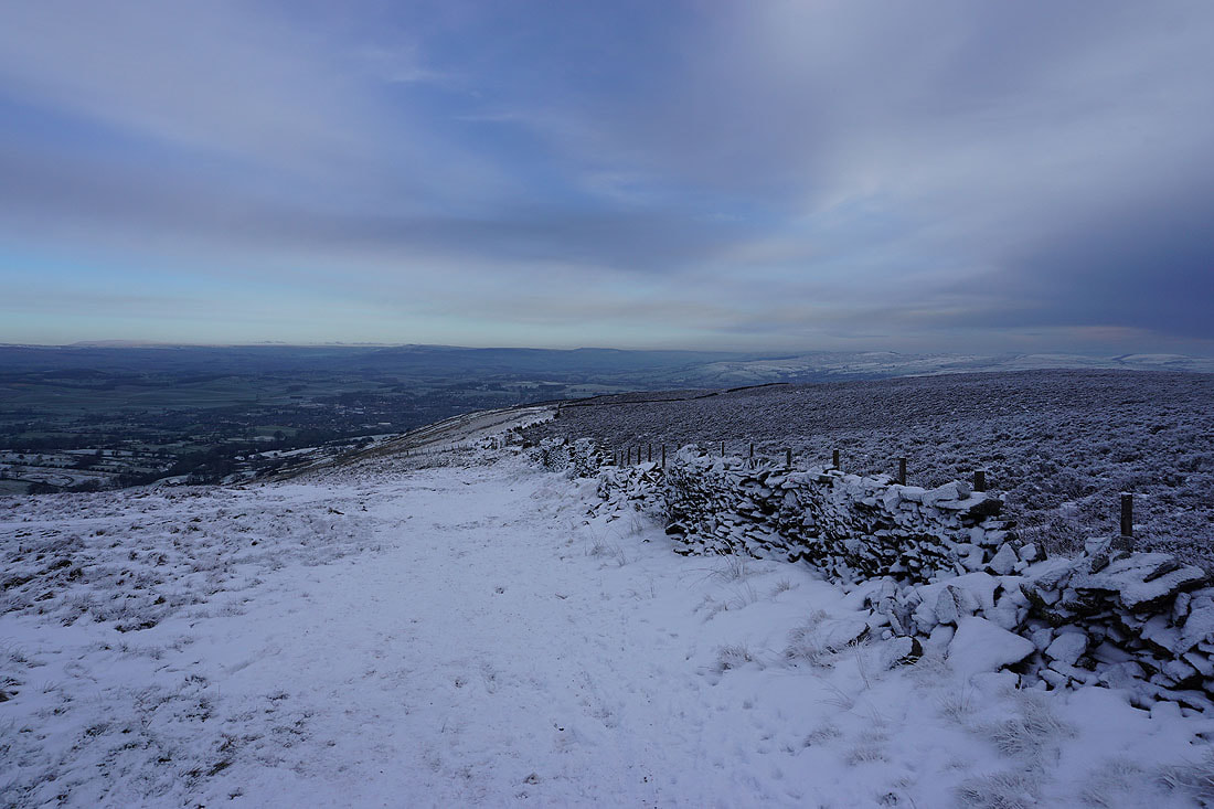
Looking north along the Pennine Bridleway, and across the green fields of the Ribble Valley to the Forest of Bowland
Boulsworth Hill in the distance as I set off down Gisburn Old Road from Weets House Farm
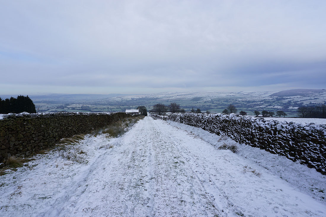
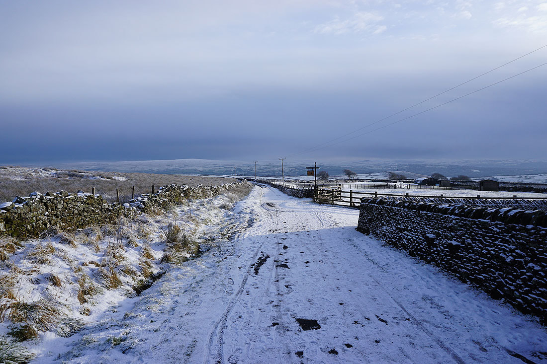
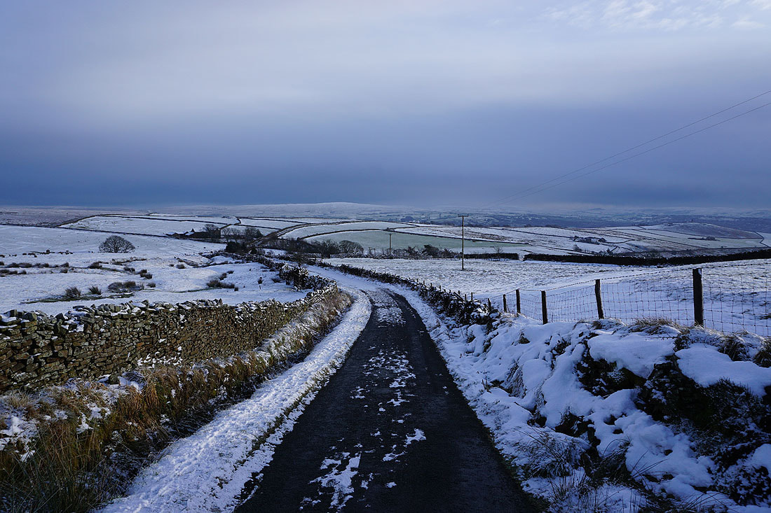
A bleak winter's landscape from Gisburn Old Road as I walk down it to Peel's House Farm.....
Bare trees and snow as I cross Blacko Hill..
Boulsworth Hill in the distance as I take the path down to Barnoldswick Road
Bleara Moor, Kelbrook Moor, Great Edge, Foulridge Lower Reservoir and Ickornshaw Moor to the east
Boulsworth Hill in the distance as I follow the path from Barnoldswick Road down to Slipper Hill
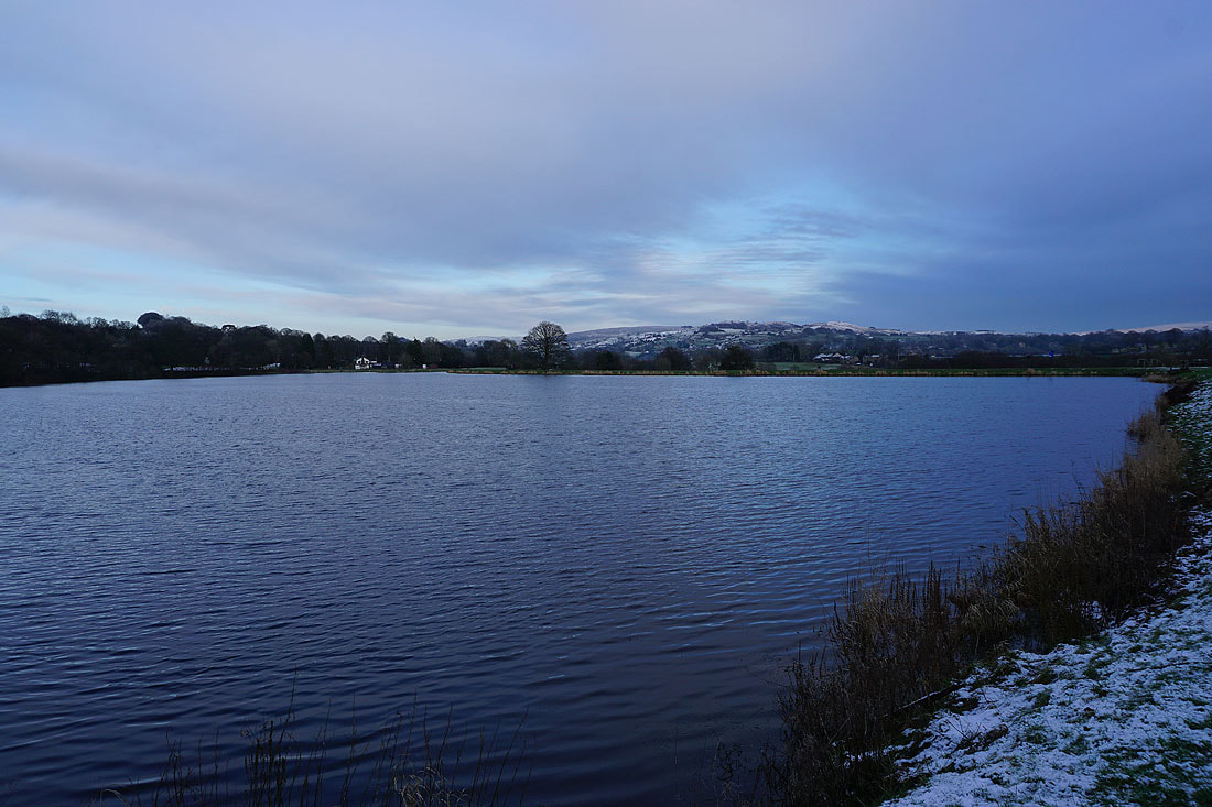
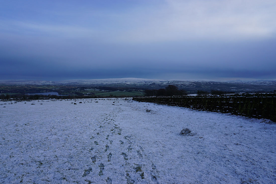
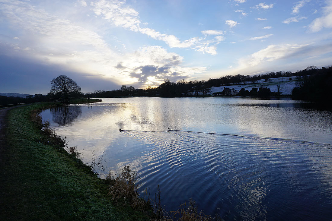
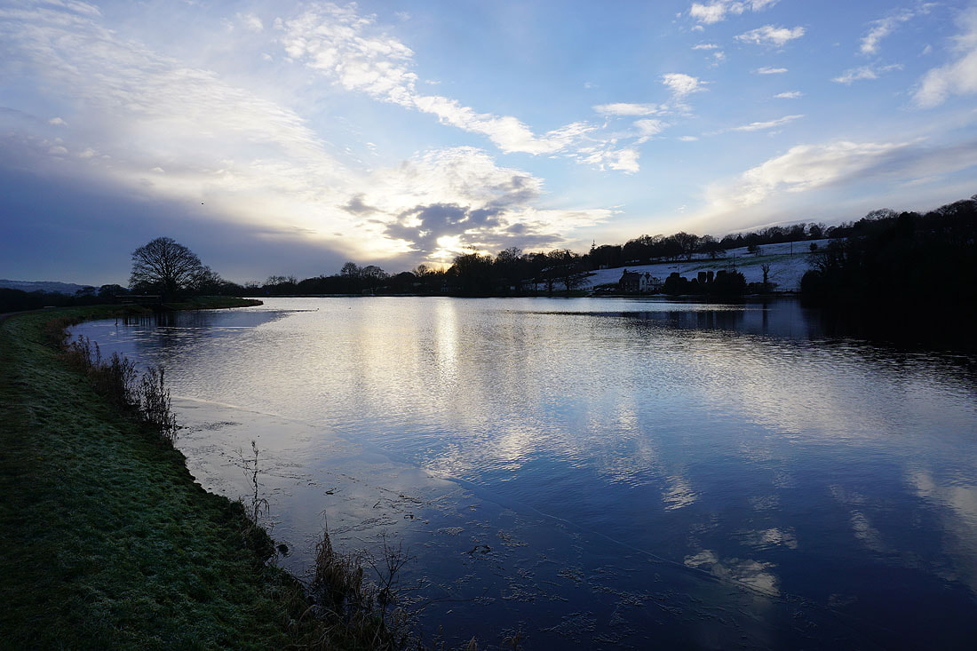
By Slipper Hill Reservoir
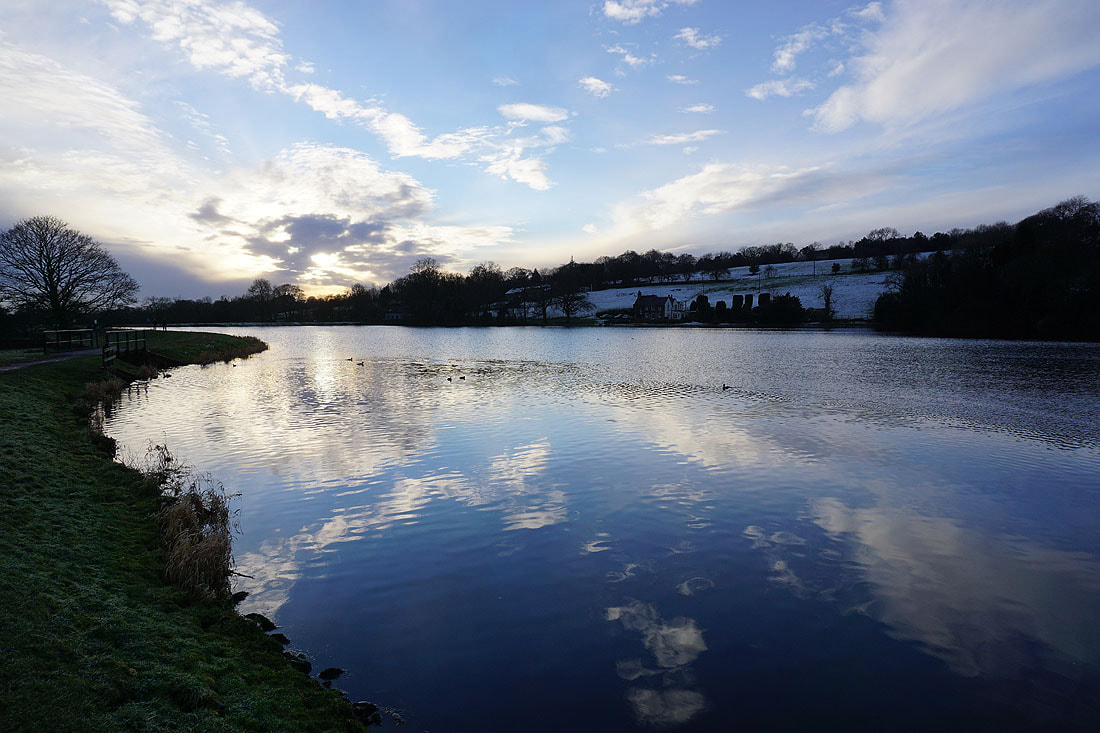
Reflections in Slipper Hill Reservoir as the sun sets...
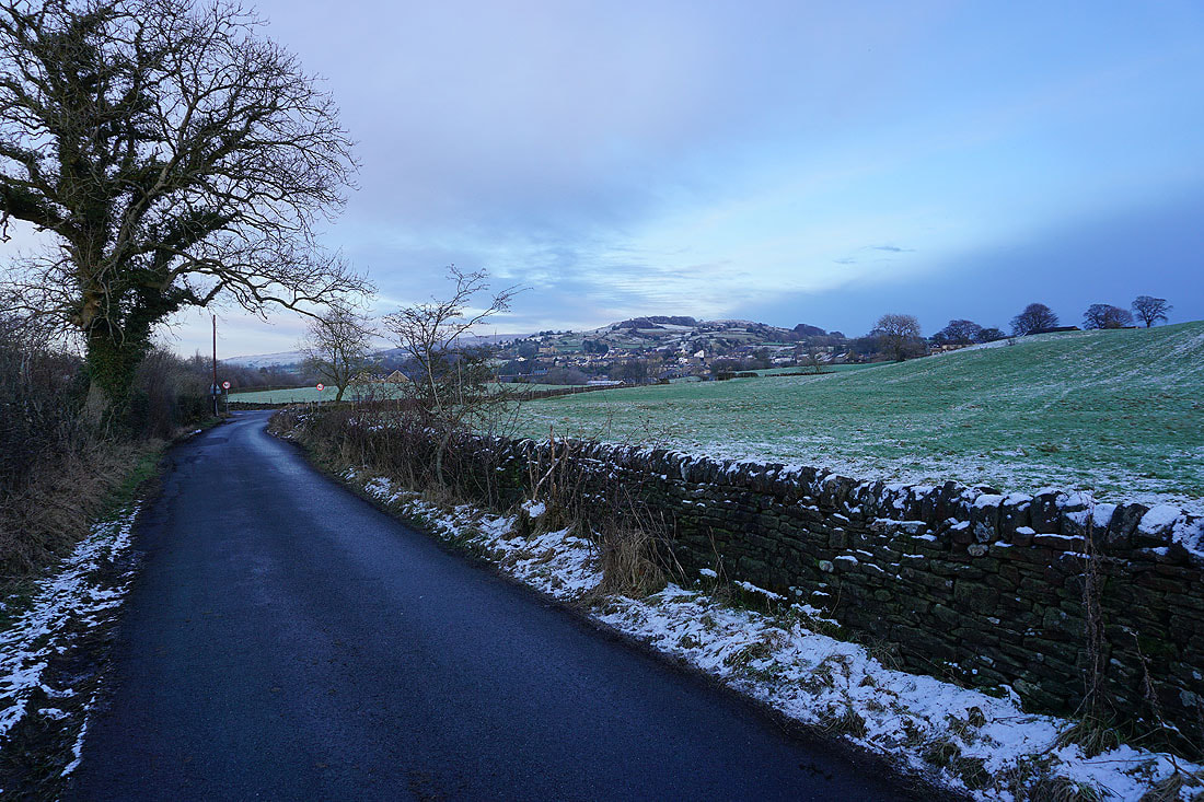
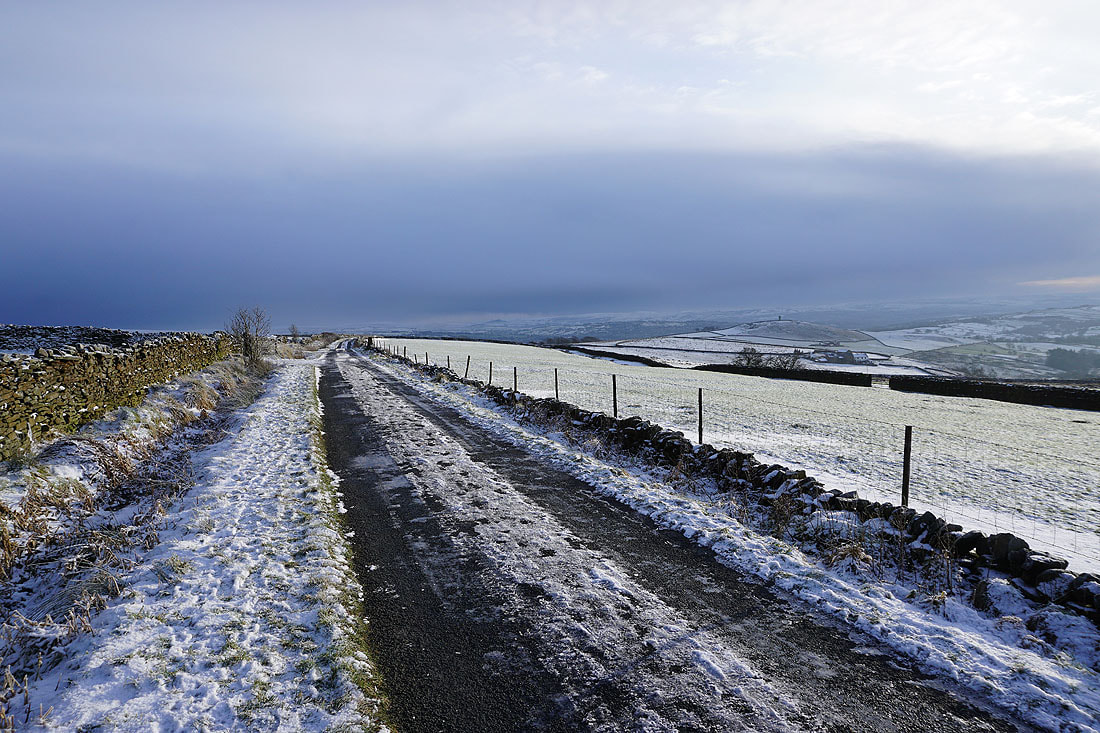
On Reedymoor Lane back to Foulridge