24th July 2022 - Around Kirkby Malzeard Moor
Walk Details
Distance walked: 16.3 miles
Total ascent: 2119 ft
OS map used: 298 - Nidderdale
Time taken: 7 hrs
Route description: Lofthouse-Nidderdale Way-Bouthwaite-Covill House Moor-Stope Bridge-Swetton Moor-Kirkby Moor Road-Hawset Riggs-Carlesmoor House Farm-Carlesmoor-Stock Beck Moor-Brown Bank Road-Newlands-Grewelthorpe Moor-Arnagill Moor-Shooting Box Allotment-Pott Moor High Road-Thrope Edge-Thrope Farm-Nidderdale Way-Lofthouse
I decided to head to Lofthouse in Nidderdale for my walk this weekend to do a route that would take in some of the moorland on the eastern side of the dale, and which separates it and Lower Wensleydale. All of it was already familiar to me, most of it from a walk done in June 2019, when I did a very similar route starting from Ramsgill, which is a bit further down the valley from Lofthouse. Although I had a lot of miles to cover, most of the route was easy going with a lot of it on byways or tarmacked roads, so a good pace was set and I could eat up the miles. The extreme heat of last week has gone for now and it's back to more typical summer weather, thank goodness. The forecast for today was for the best of it to be during the morning and early afternoon, then for it to cloud over for the rest of the afternoon with maybe a bit of rain reaching me before I'd returned to Lofthouse. The first part was certainly correct, and I enjoyed spells of warm sunshine until I was starting my return back across the moors. However, it then quickly clouded over and there were even a few drizzly showers passing through on the wind long before I was back in Lofthouse. It was good job that I'd brought a jacket with me.
After parking in Lofthouse I walked through the village and took the trail of the Nidderdale Way, and followed it south to the hamlet of Bouthwaite. Here I turned left and took the byway from Bouthwaite east, up and over Covill House Moor to the end of the tarmacked road at Stope Bridge, which I walked down to reach the road junction on Swetton Moor. I took the road signposted for Kirkby Malzeard, and briefly walked east along it until I reached a track on the left to take the public footpath north across the moorland of Hawset Riggs, and then east to Carlesmoor. When I reached Low Farm in Carlesmoor the track was left for a footpath through the farm, and then onto a track north to Stock Beck Moor, and a footpath across the moor and Stock Beck to Brown Bank Road. I then walked north up Brown Bank Road until I reached the road to Newlands on the left, which I followed to its end and onto the byway up onto Grewelthorpe Moor. Byways were then followed west from Grewelthorpe Moor across Kirkby Malzeard Moor, Arnagill Moor and the moorland of Shooting Box Allotment to Pott Moor High Road. After a short walk down the road I reached a bridleway on the left, which took me to the shooting house on Thrope Edge, and from there I made my way down the bridleway to Thrope Farm. From Thrope Farm I followed the Nidderdale Way back to Lofthouse.
Route map
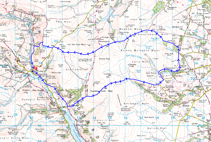
© Crown copyright. All rights reserved. License number PU 100034184.
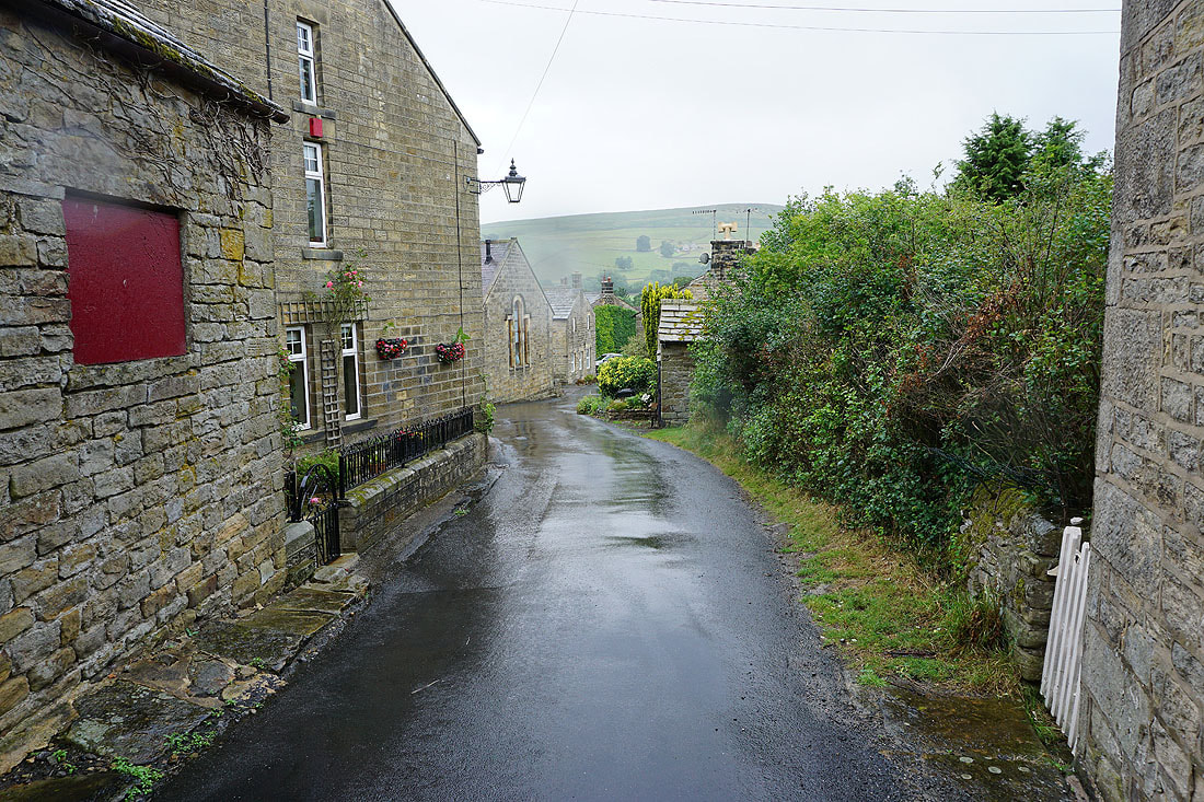
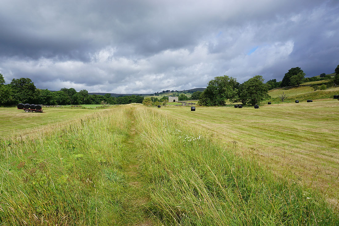
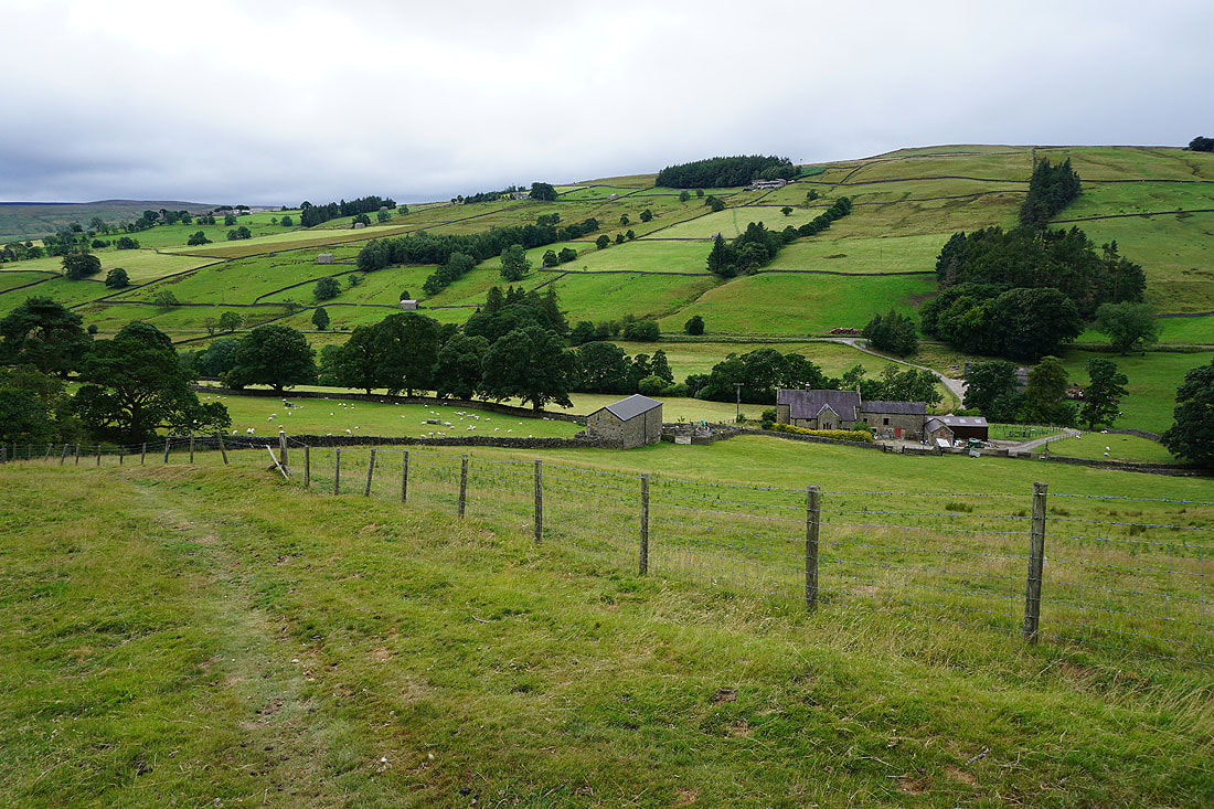
Leaving Lofthouse behind
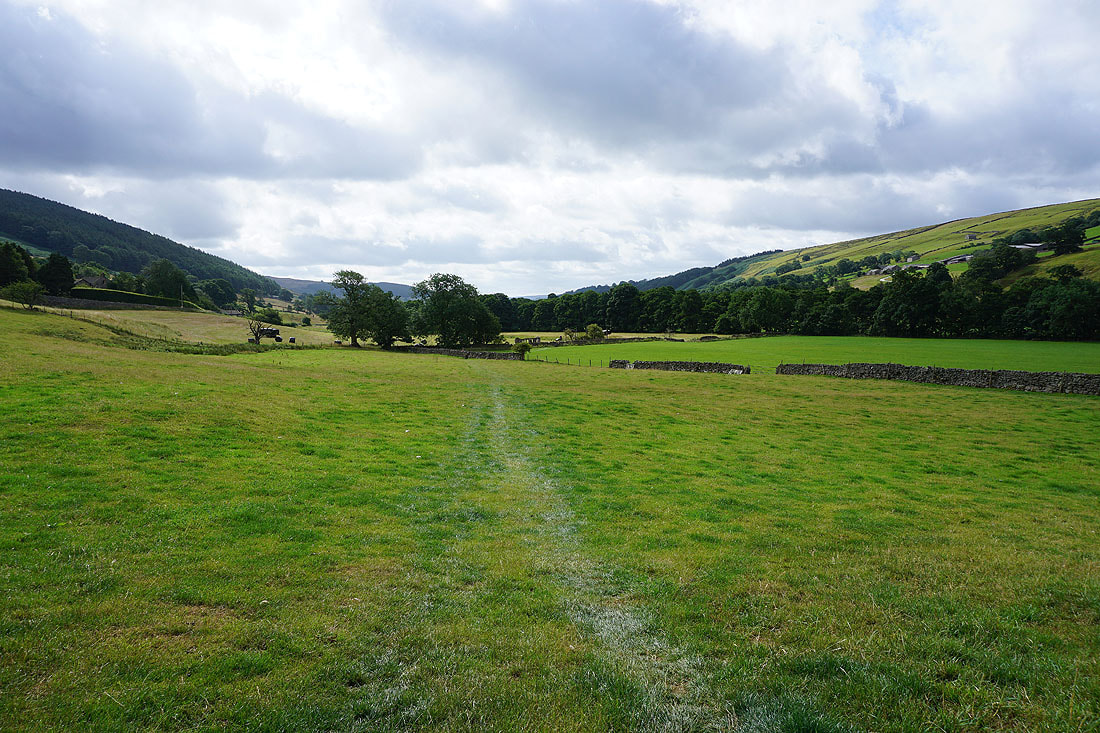
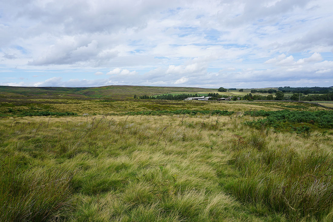
Views of Nidderdale as I follow the Nidderdale Way from Lofthouse to Bouthwaite....
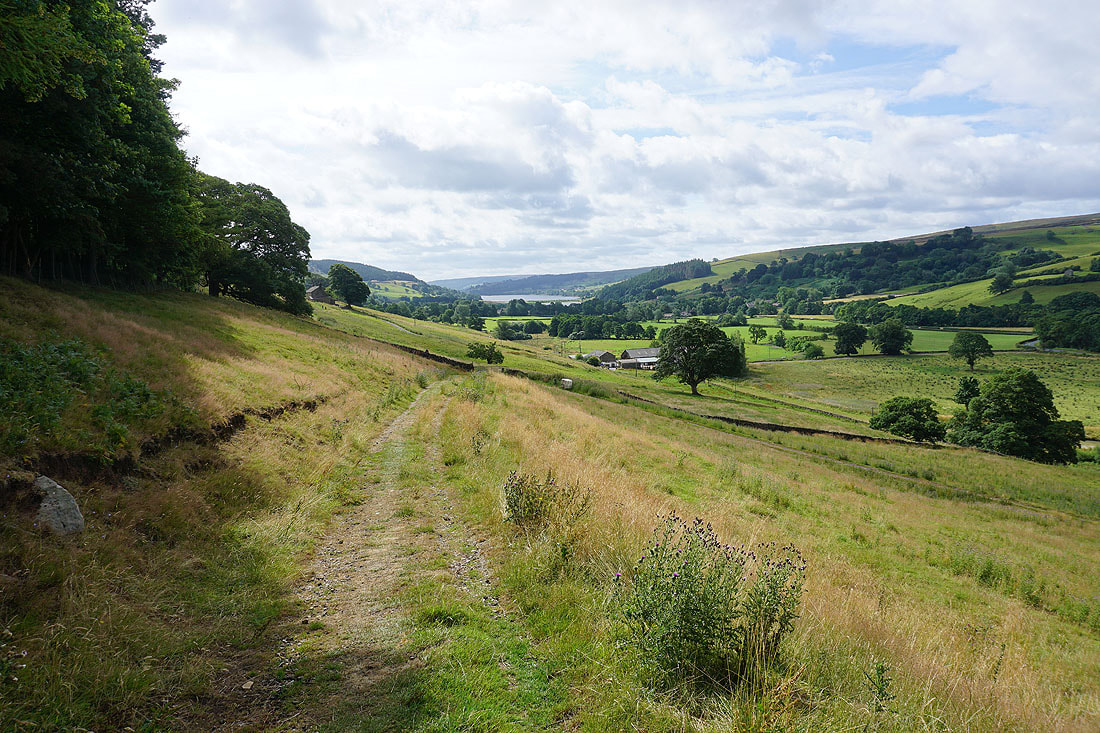
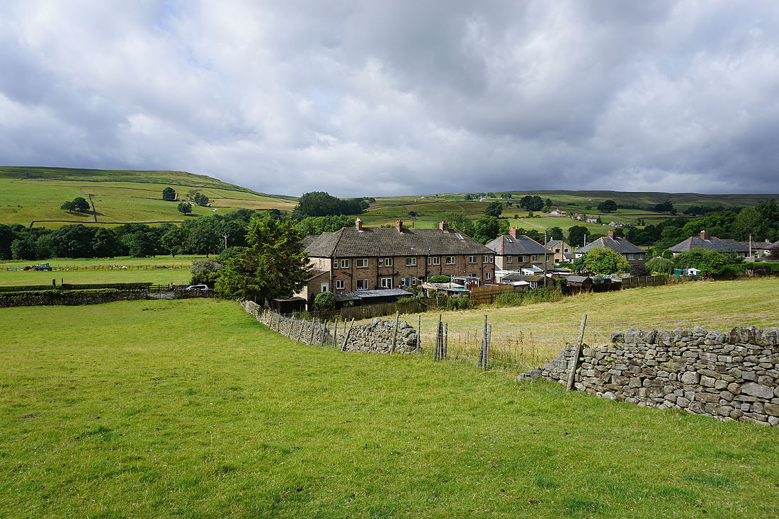
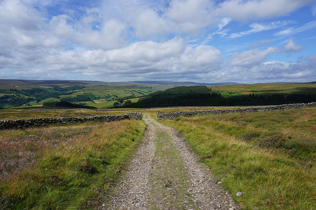
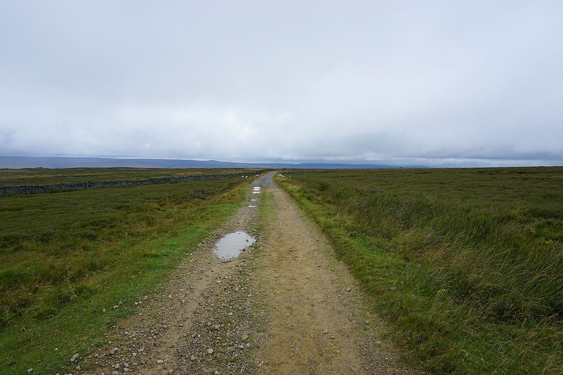
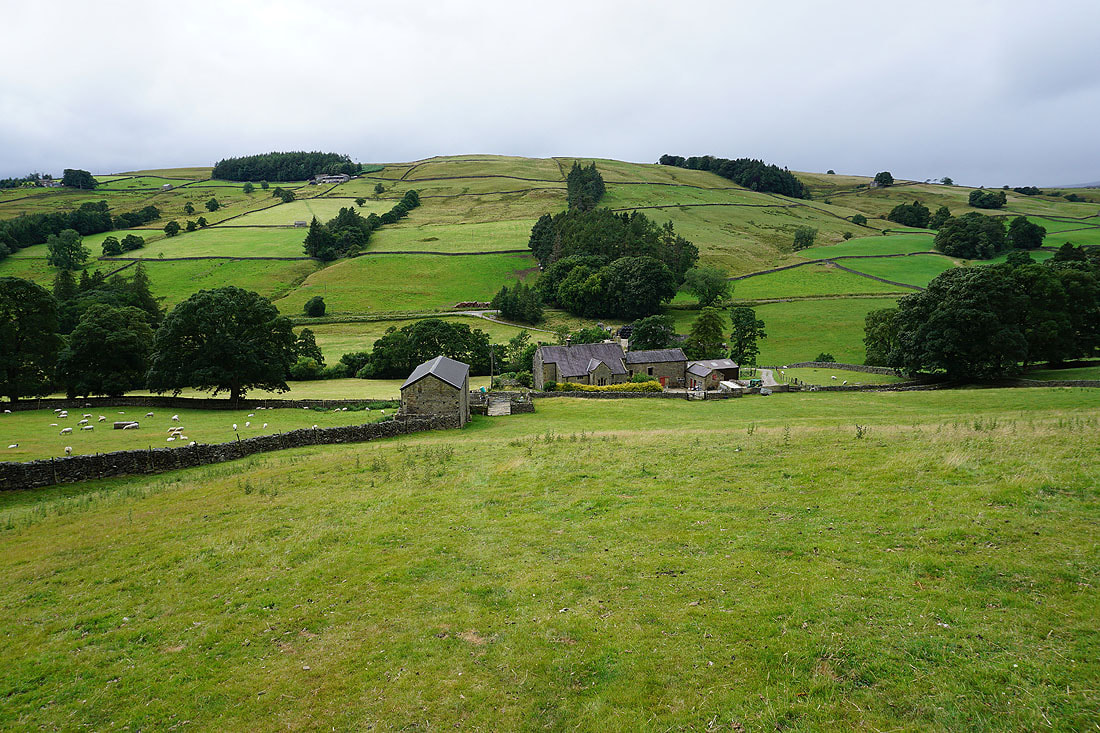
From Bouthwaite I take the track up to Covill House Moor
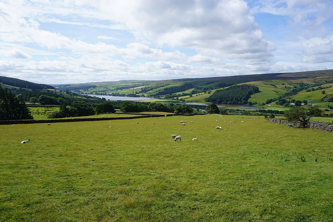
Gouthwaite Reservoir soon comes into view as height is gained
Approaching the gate onto access land
Looking back to Nidderdale with Gouthwaite Moor and Ramsgill Moor on the other side of the valley
This byway heads north to cross Lul Beck, then northwest across Sype Land, but I'm not going that way
Looking back across Nidderdale to Stean Moor and Riggs Moor, with the top of Great Whernside in the distance
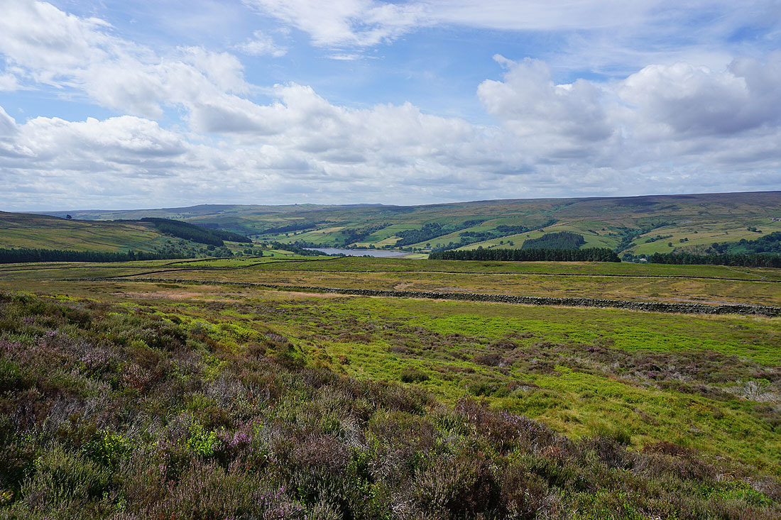
and across Sigsworth Moor to Gouthwaite Reservoir, with Heathfield Moor on the other side of the dale
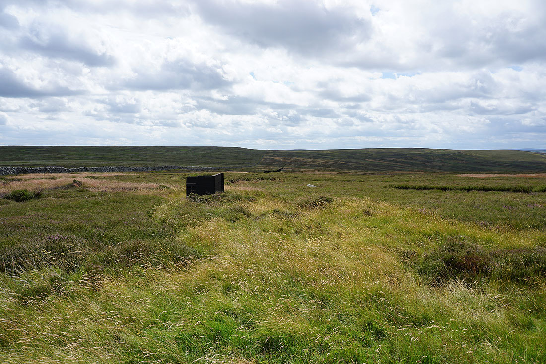
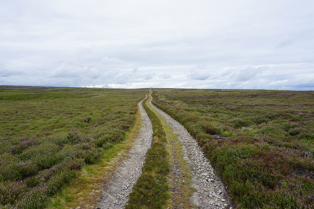
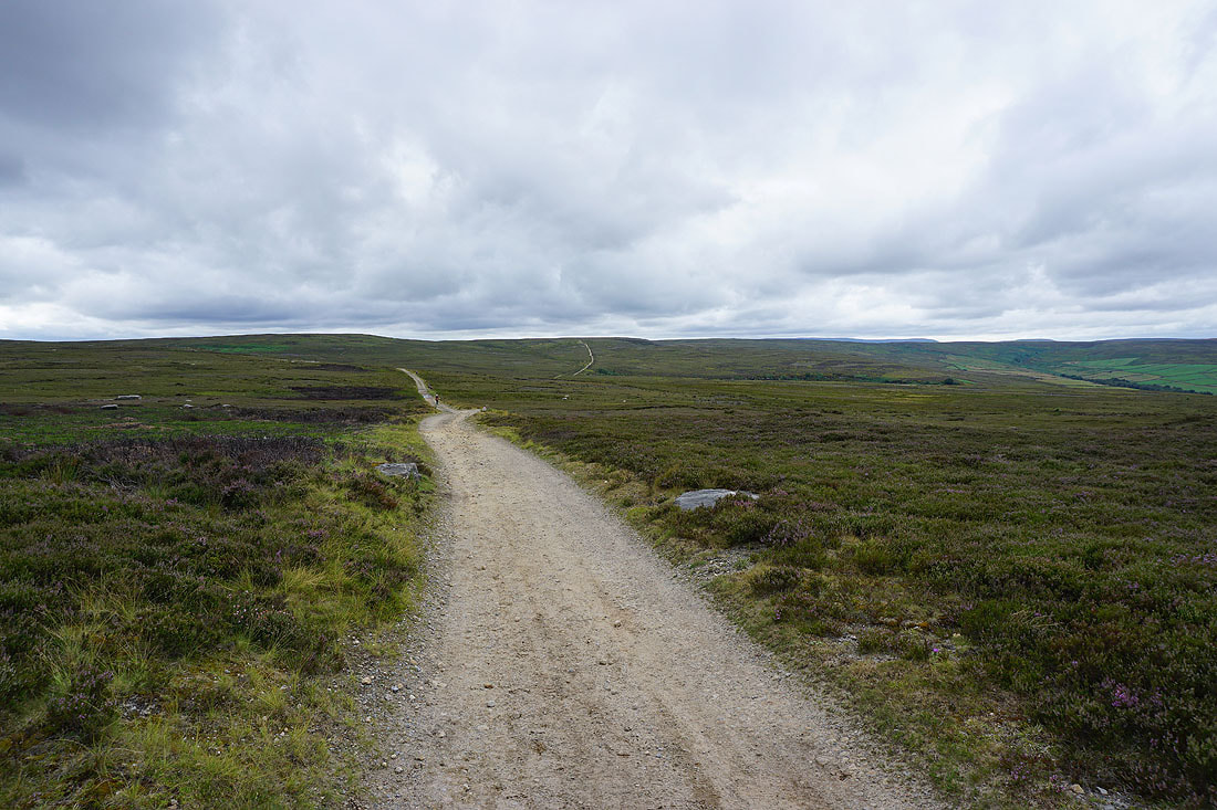
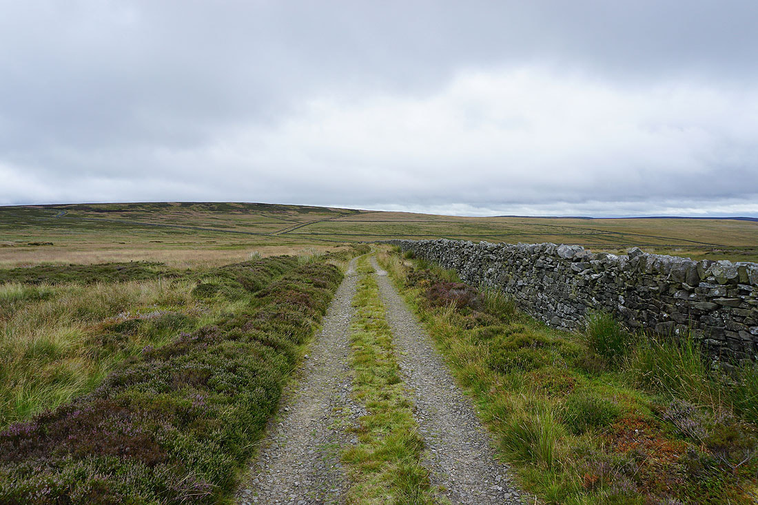
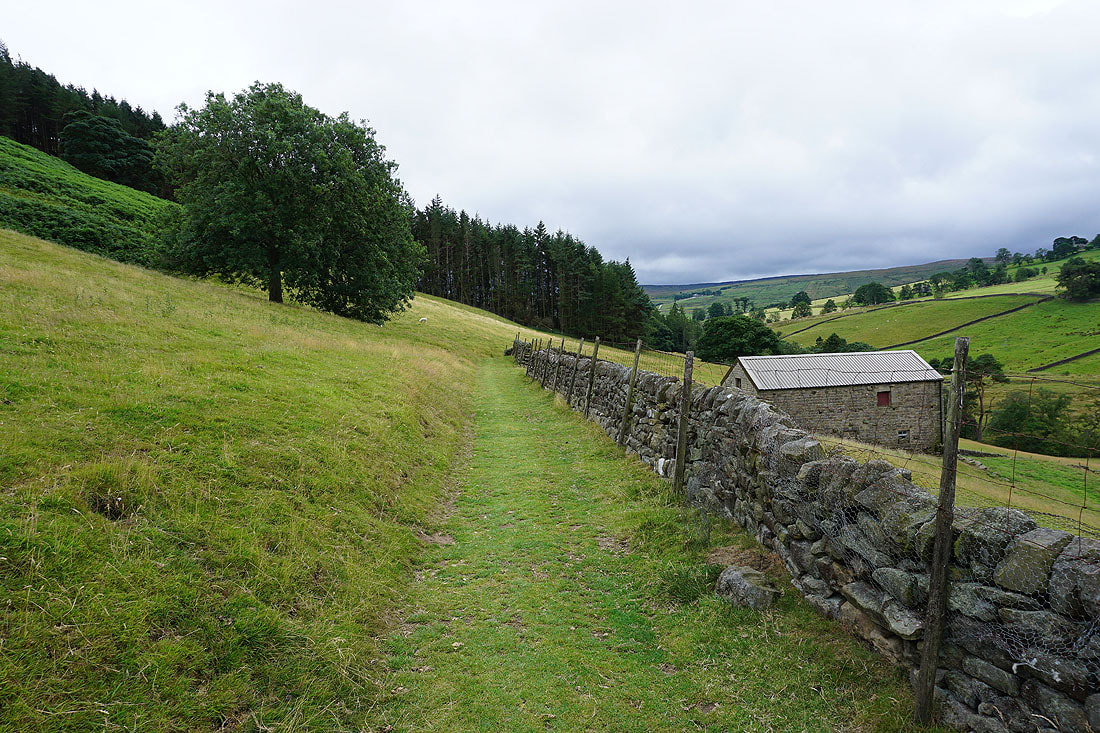
Following the byway up Covill House Moor
The moorland expanse of Kettlestang Hill to my right..
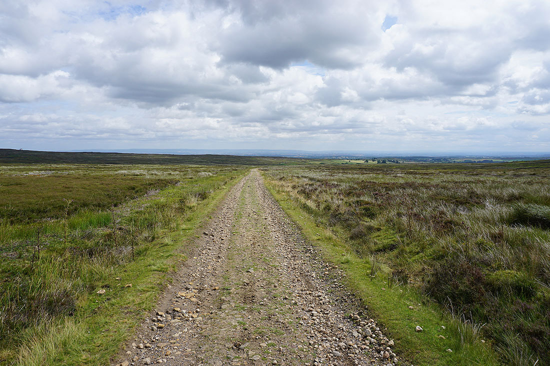
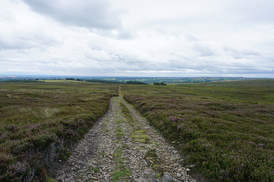
The byway finally crosses the top of the moor and I can see all the way across to the North York Moors on the other side of the Vale of Mowbray
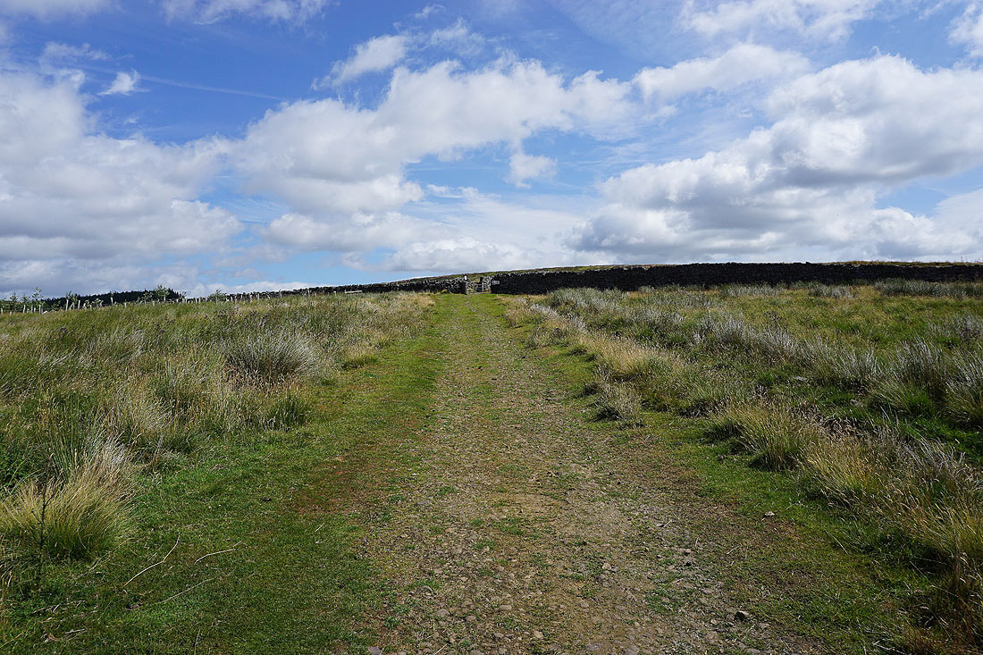
The byway joins the top of the tarmacked road at Stope Bridge. It's also where North Gill Beck begins its journey down into Dallowgill.
Looking back up to the moorland of Harry Cross Edge
and across Dallowgill to Dallowgill Moor
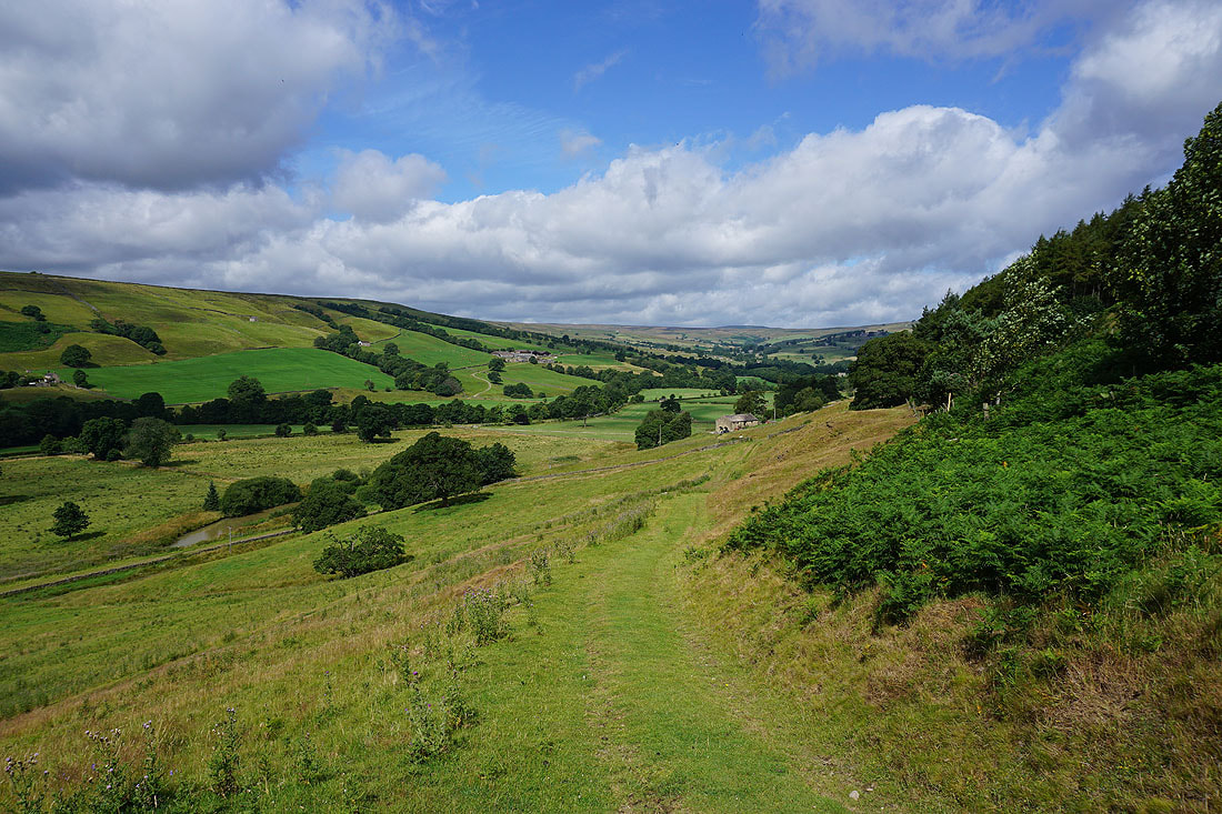
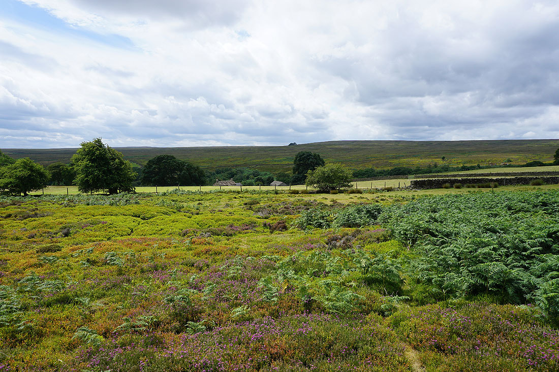
and across Swetton Moor to the woodland around Carlesmoor, which is where I'm heading for
Kirkby Malzeard Moor
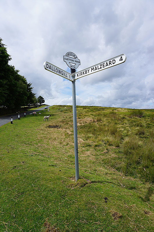
At the road junction on Swetton Moor. I'll briefly walk along the road towards Kirkby Malzeard.
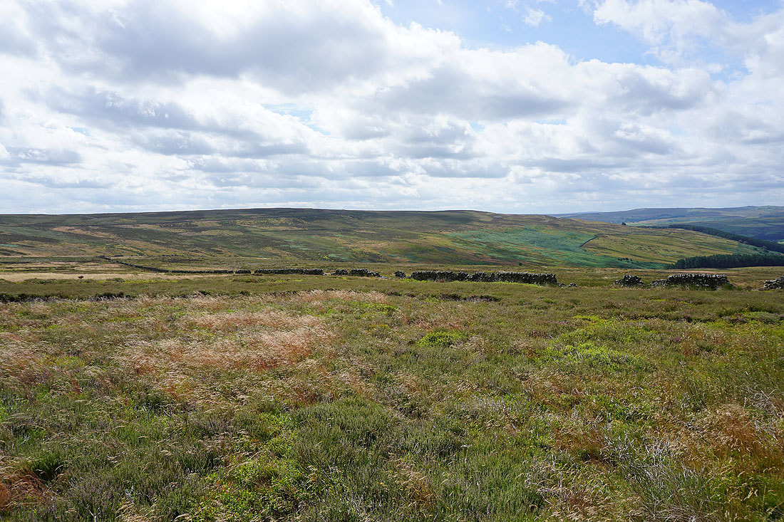
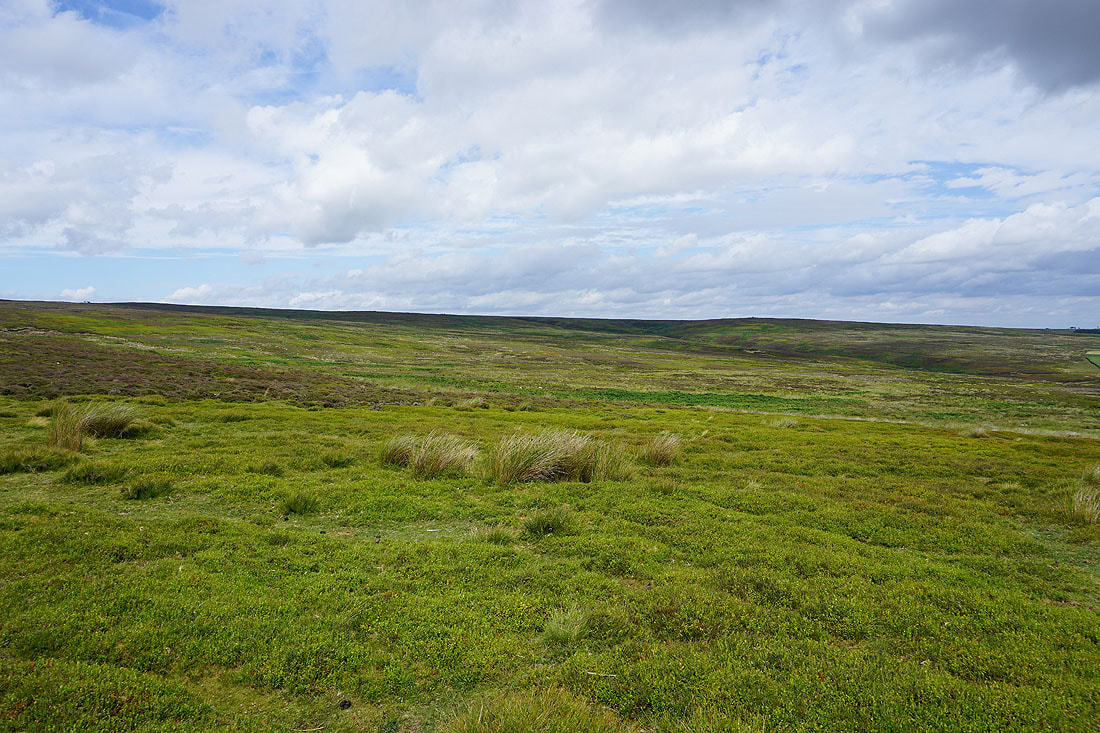
The moorland of Hawset Riggs, with Stock Beck Moor in the distance
Off the road and onto the track north across Hawset Riggs, then Carlesmoor Beck, and onwards to Carlesmoor...
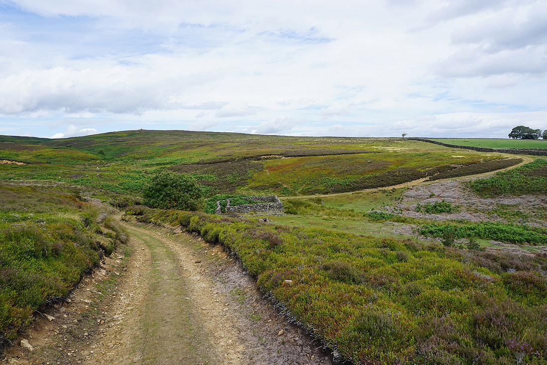
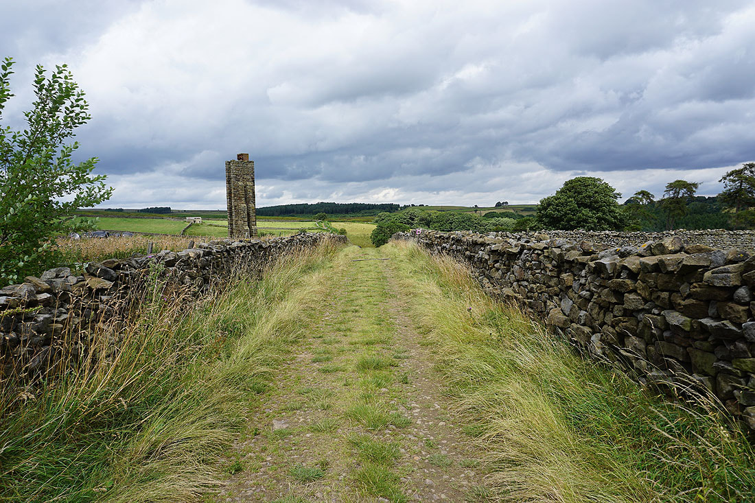
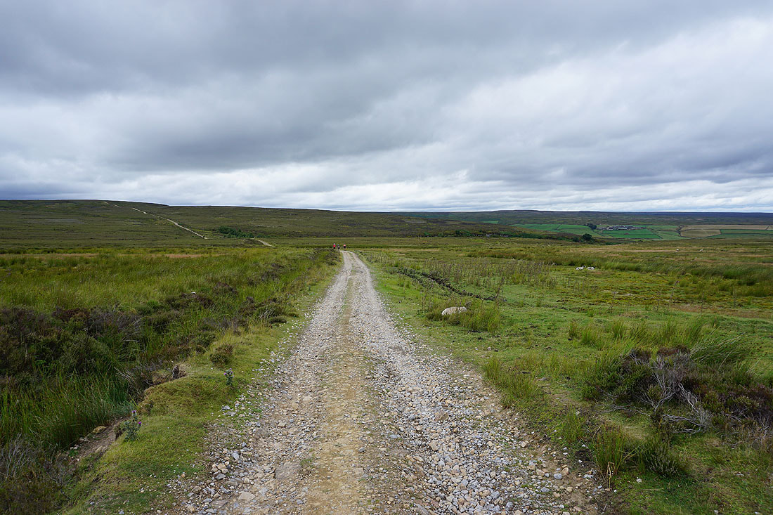
From Carlesmoor I take a track north towards Stock Beck Moor, passing a sighting tower on the left, which was used to conduct surveys during the construction of Leighton and Roundhill reservoirs
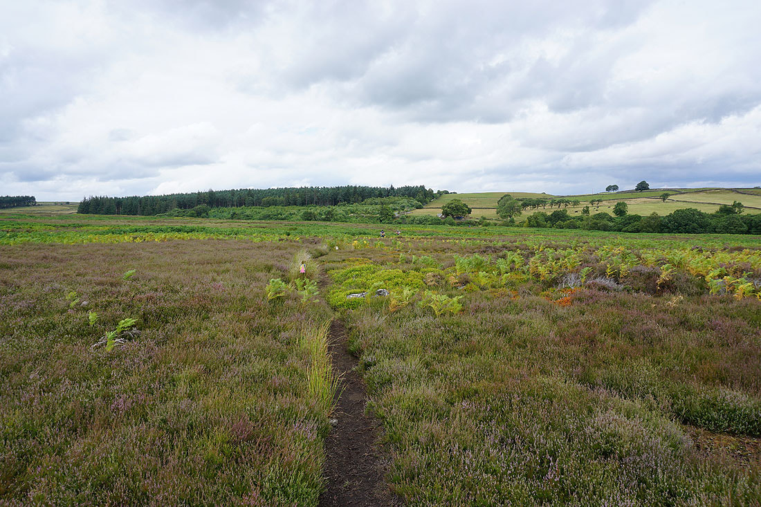
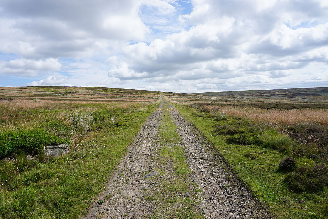
On the footpath across Stock Beck Moor to Brown Bank Road
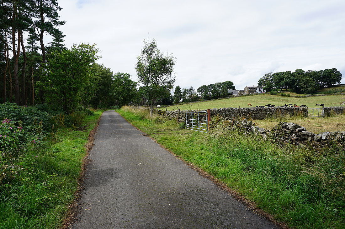
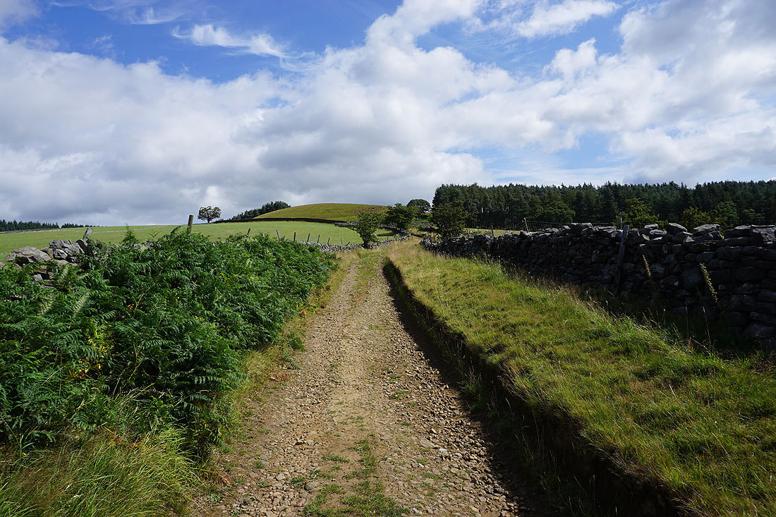
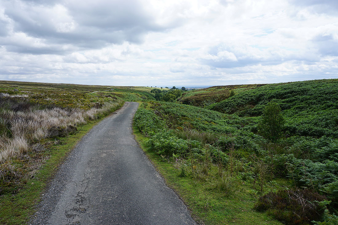
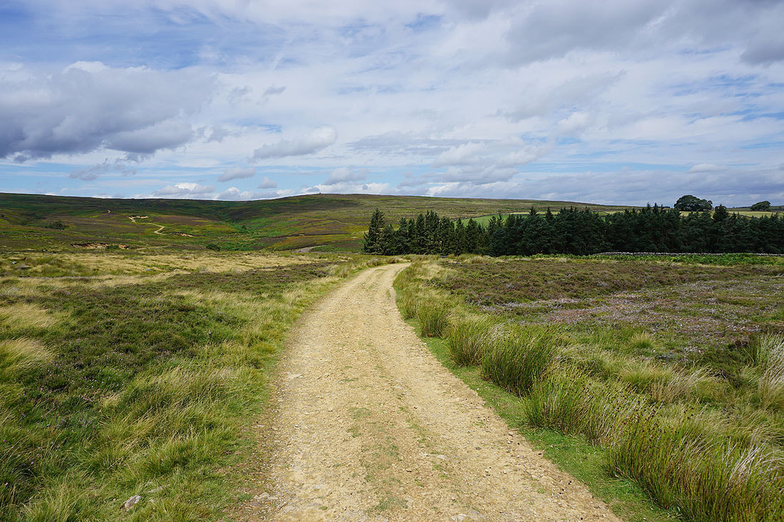
After a short walk north along Brown Bank Road, I take the road to Newlands, and then the byway up onto Grewelthorpe Moor...
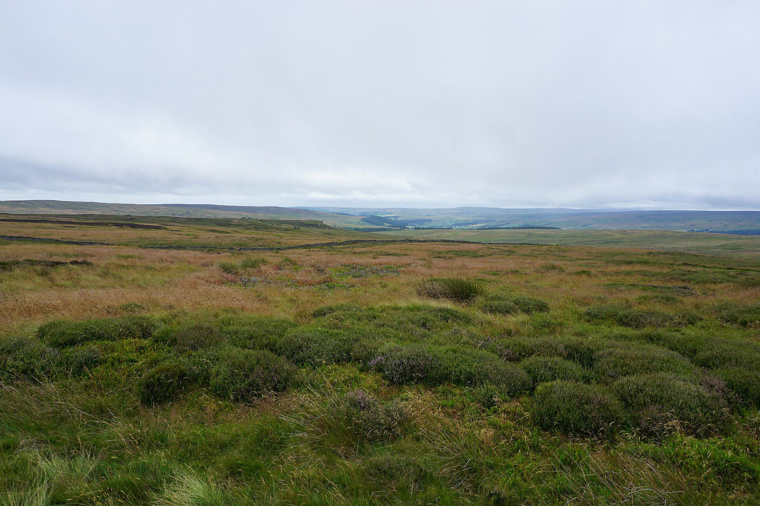
Looking back to the countryside around Kirkby Malzeard
On Grewelthorpe Moor. It would seem that I've lost the sunshine.
The byway I'm on joins Wreaks Lane. Looking east along Wreaks Lane and I can make out the North York Moors in the distance.
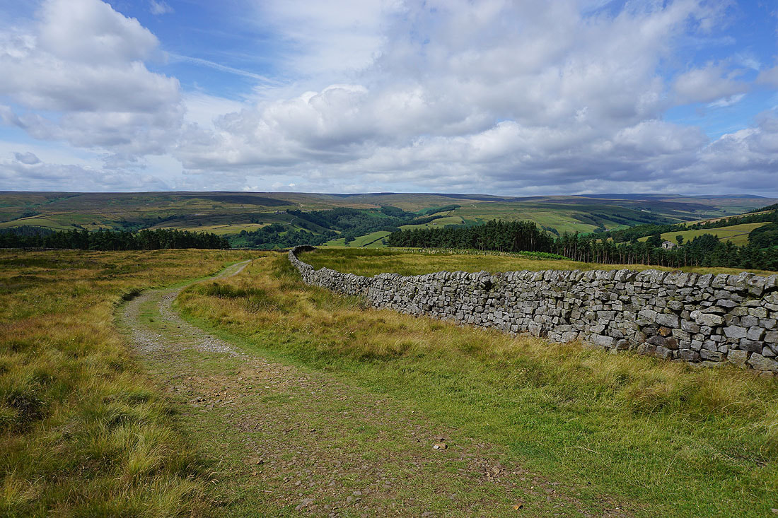
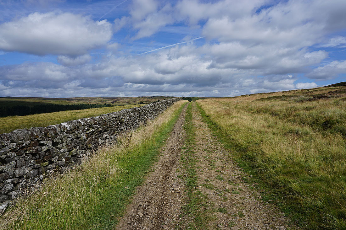
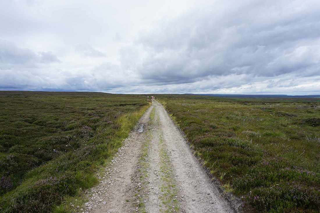
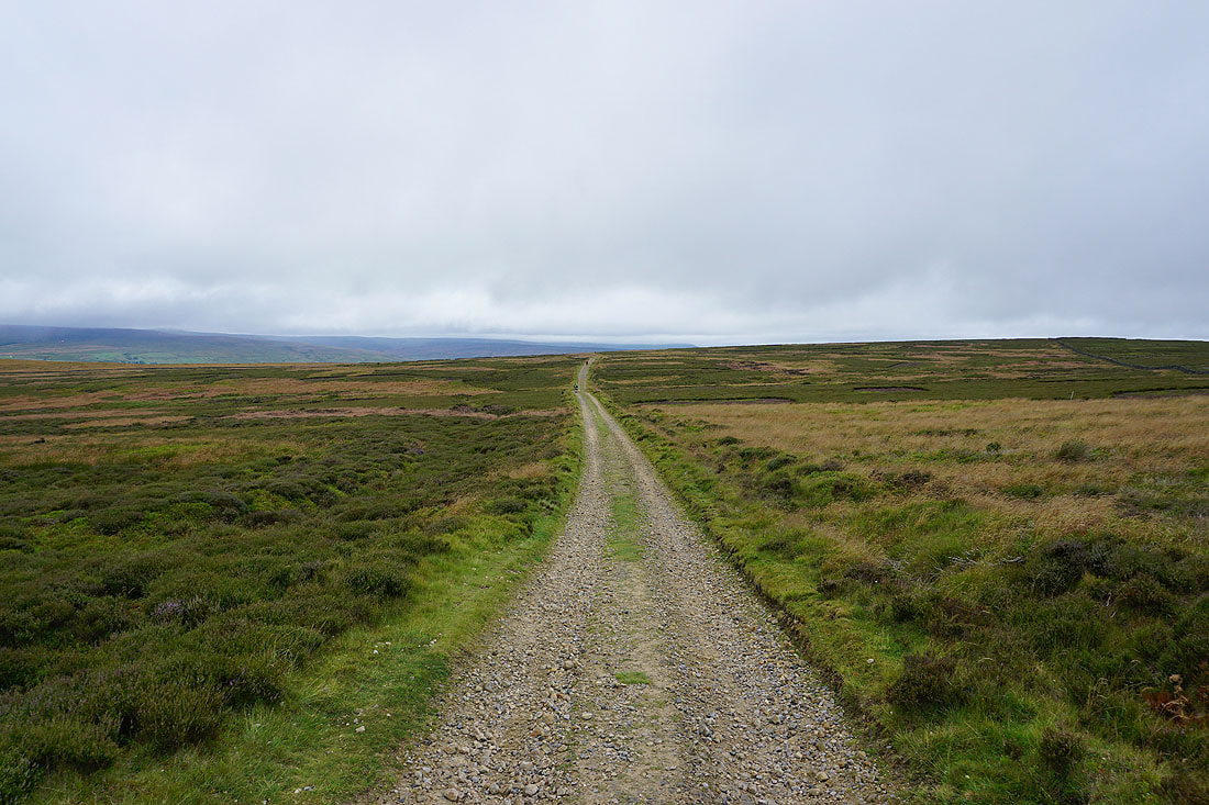
Following the byway west across Kirkby Malzeard Moor to Arnagill Moor..
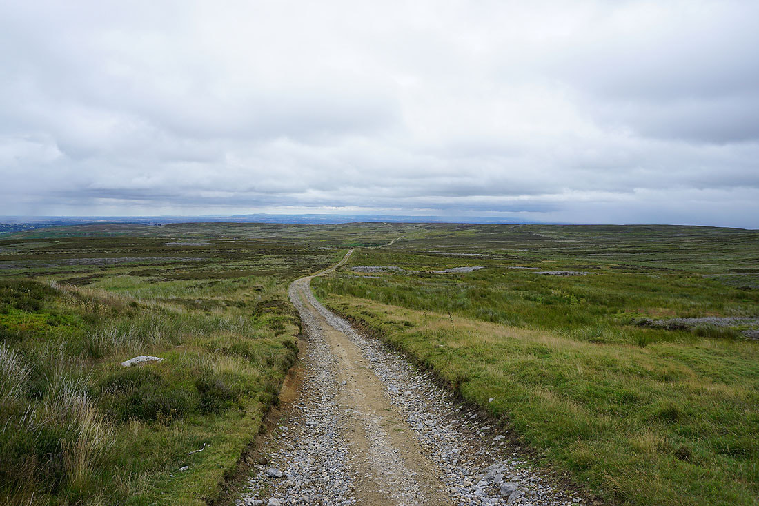
Looking back east across Kirkby Malzeard Moor to Grewelthorpe Moor
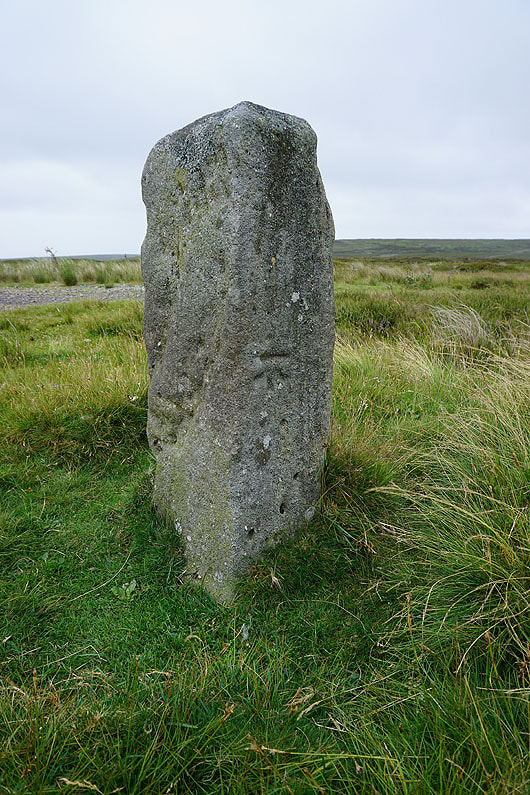
Stone with OS benchmark at a junction of byways
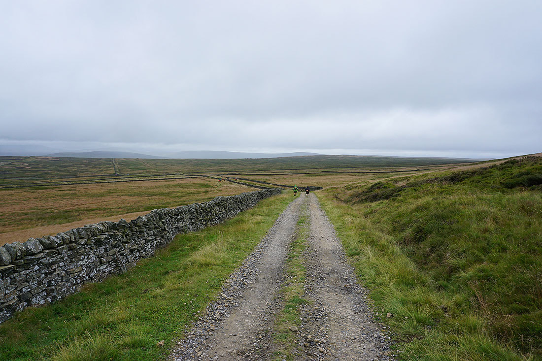
I take the one that heads west to the road across the moors from Lofthouse to Masham. The weather is definitely going downhill, there's some drizzle in the wind.
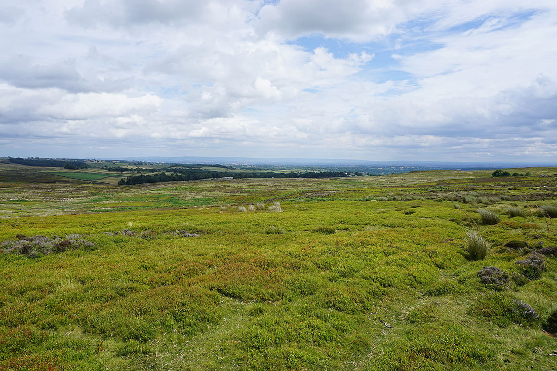
To my left, the view south across Fountains Earth Moor and Nidderdale
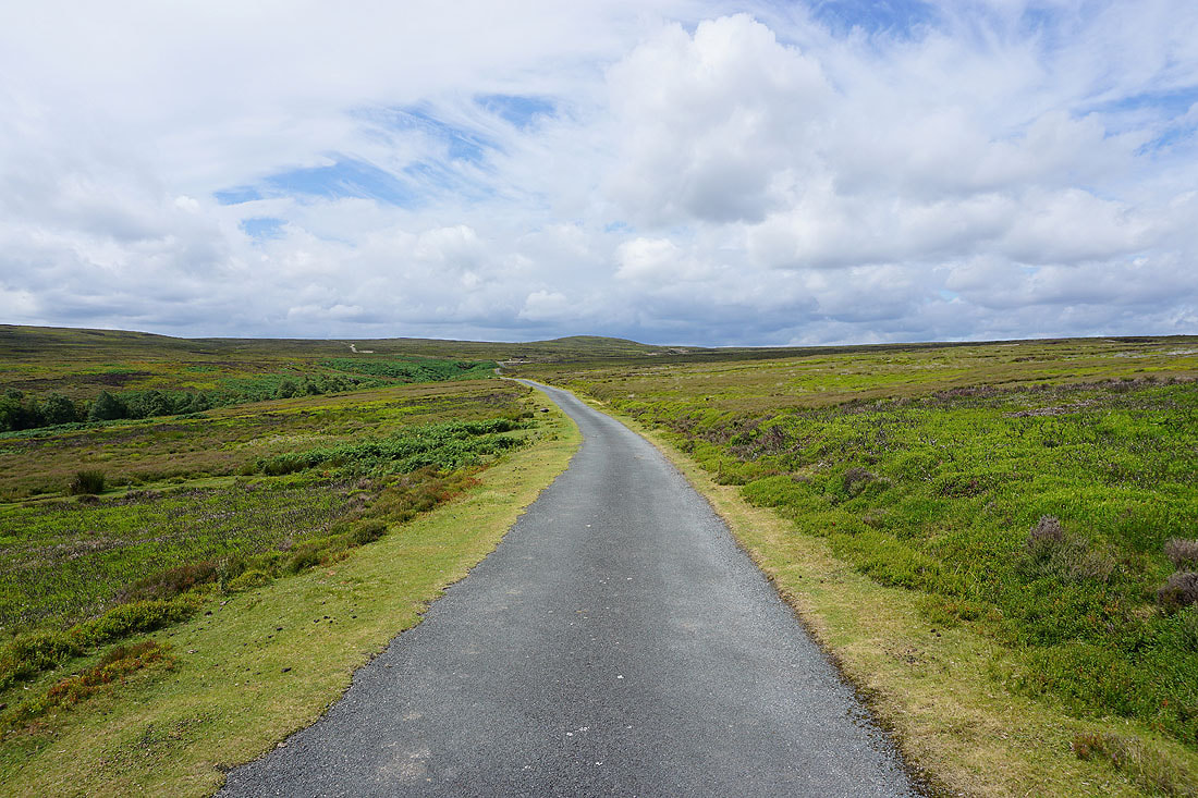
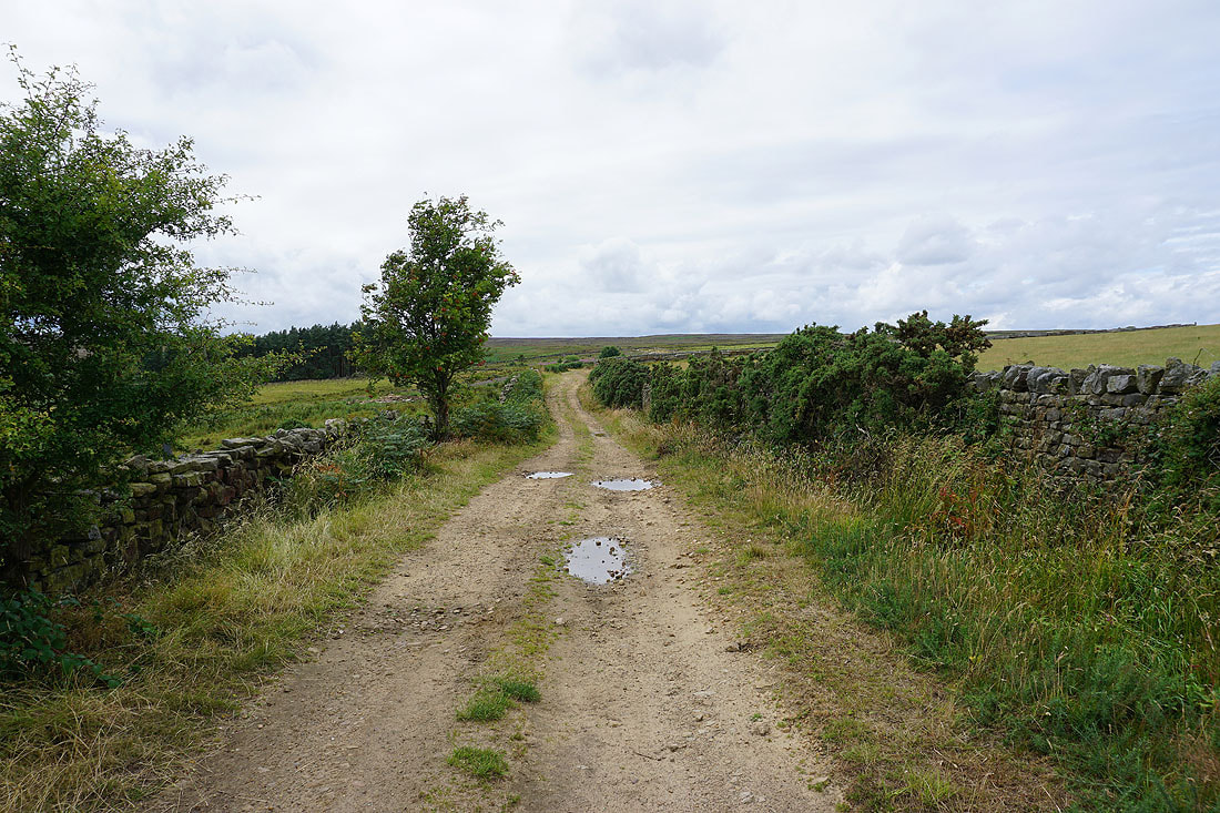
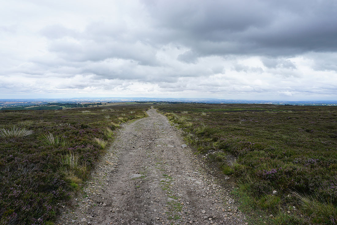
Following the byway west to the road from Lofthouse to Masham..
Having crossed the road I'm on the bridleway across Lofthouse Moor to Thrope Edge. Looking back to Ouster Bank on the other side of the road.
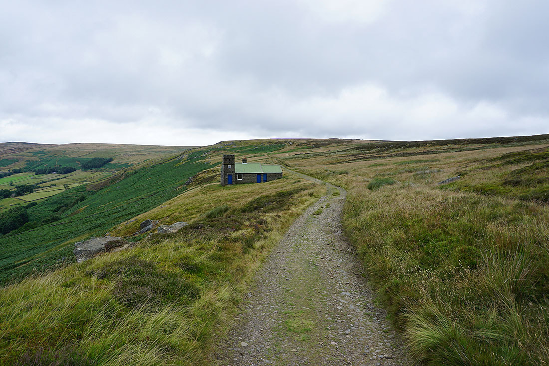
The Shooting House on Thrope Edge
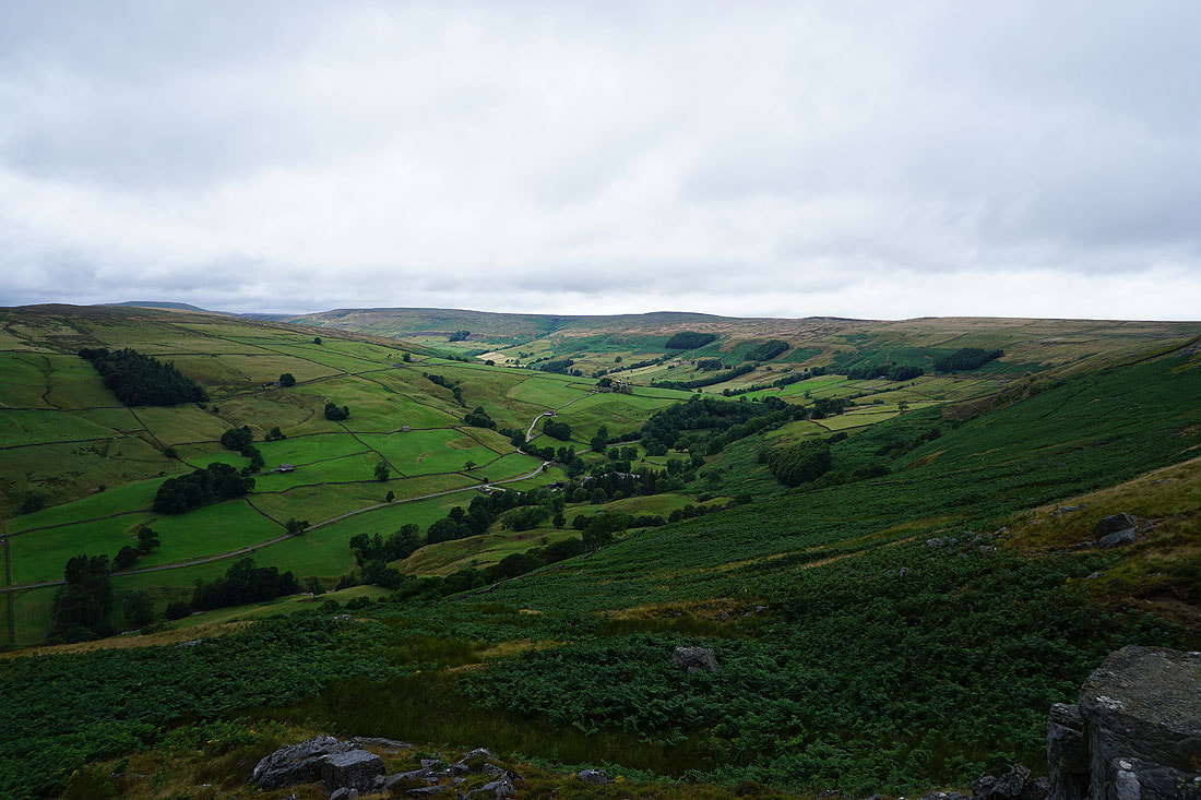
Dead Man's Hill, Great Haw, South Haw and Nidderdale from Thrope Edge
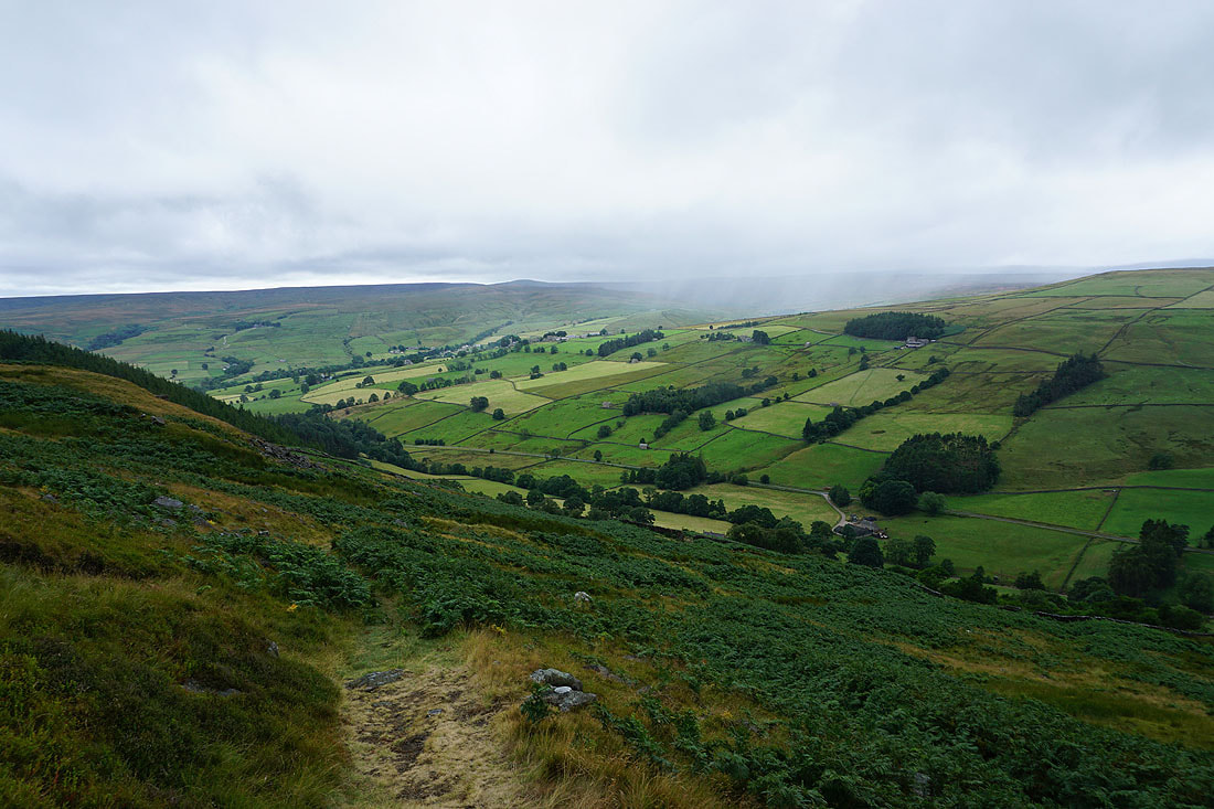
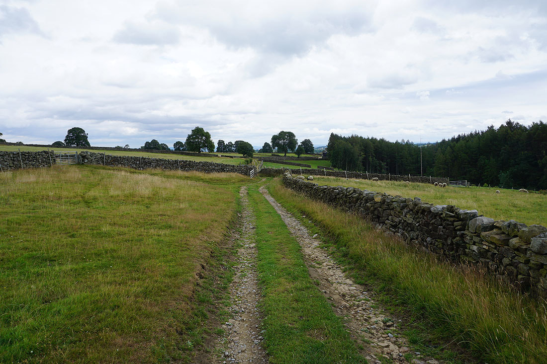
Following the bridleway from Thrope Edge down to Thrope Farm...
From Thrope Farm I take the Nidderdale Way back to Lofthouse..