24th June 2010 - Raven Crag, High Rigg and Great How
Walk Details
Distance walked: 8.2 miles
Total ascent: 2774 ft
OS map used: OL4-The English Lakes, North-western area & OL5-The English Lakes, North-eastern area
Time taken: 7.5 hrs
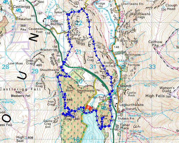
Route description: Thirlmere Dam-Raven Crag-Castle Crag fort-Shoulthwaite Farm-Shaw Bank-St John's in the Vale church-High Rigg-Wren Crag-Little How-Great How-Thirlmere Dam
A walk from the car park at the Thirlmere dam to Raven Crag. From there I visited the Castle Crag fort and then followed a forest track down to Shoulthwaite Farm. I then made my way around the side of High Rigg to the St. John's in the Vale church and then up onto High Rigg itself. I made my way along High Rigg down to the Keswick-Windermere road. I then went up Great How before returning to the car park at the Thirlmere dam.
Total ascent: 2774 ft
OS map used: OL4-The English Lakes, North-western area & OL5-The English Lakes, North-eastern area
Time taken: 7.5 hrs
Route description: Thirlmere Dam-Raven Crag-Castle Crag fort-Shoulthwaite Farm-Shaw Bank-St John's in the Vale church-High Rigg-Wren Crag-Little How-Great How-Thirlmere Dam
A walk from the car park at the Thirlmere dam to Raven Crag. From there I visited the Castle Crag fort and then followed a forest track down to Shoulthwaite Farm. I then made my way around the side of High Rigg to the St. John's in the Vale church and then up onto High Rigg itself. I made my way along High Rigg down to the Keswick-Windermere road. I then went up Great How before returning to the car park at the Thirlmere dam.
Route map
© Crown copyright. All rights reserved. License number PU 100034184.
Raven Crag summit. No views, it's raining but forecast to clear during the afternoon.
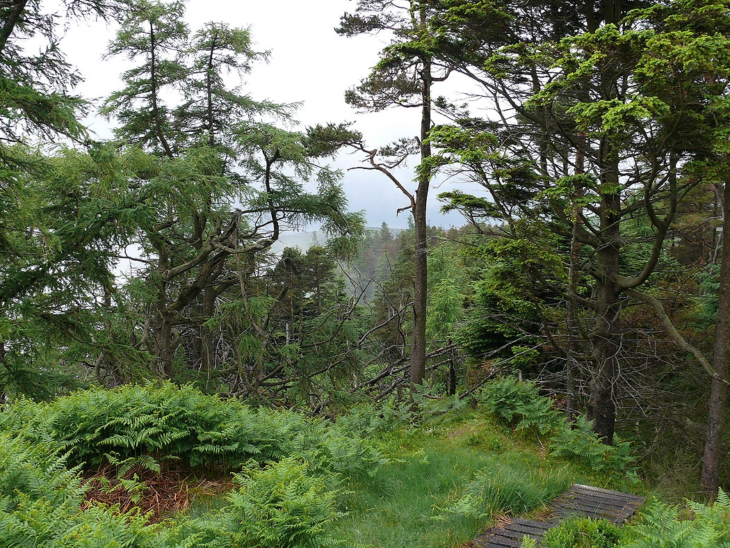
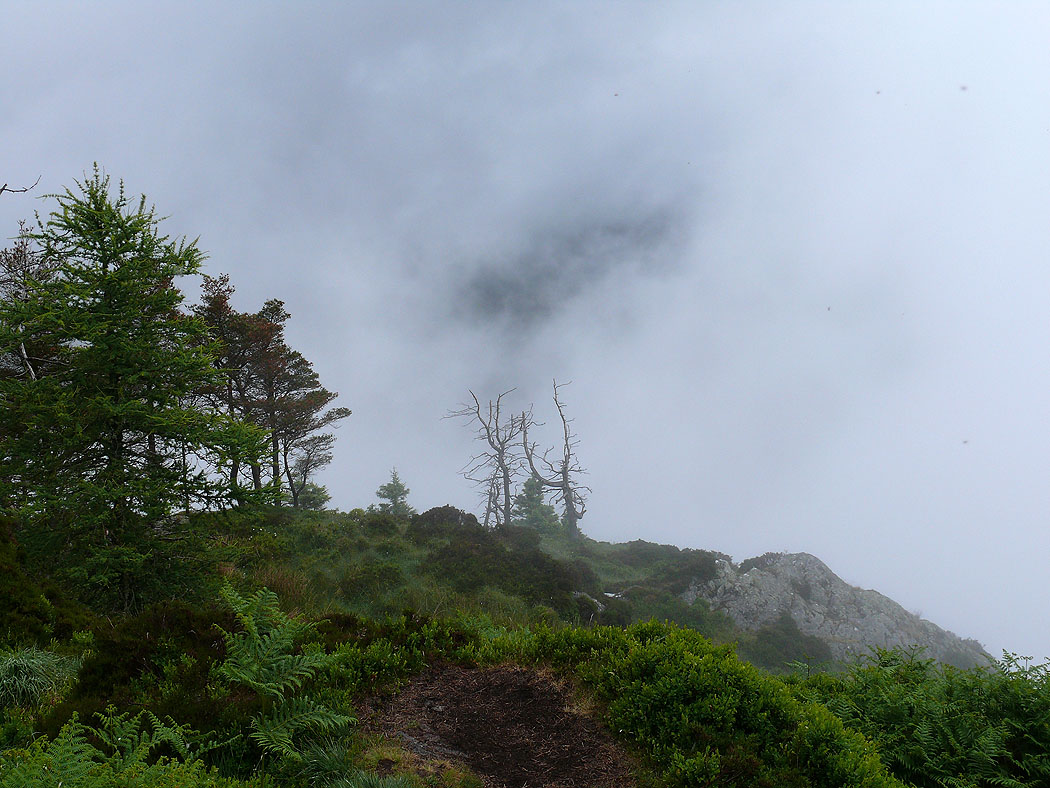
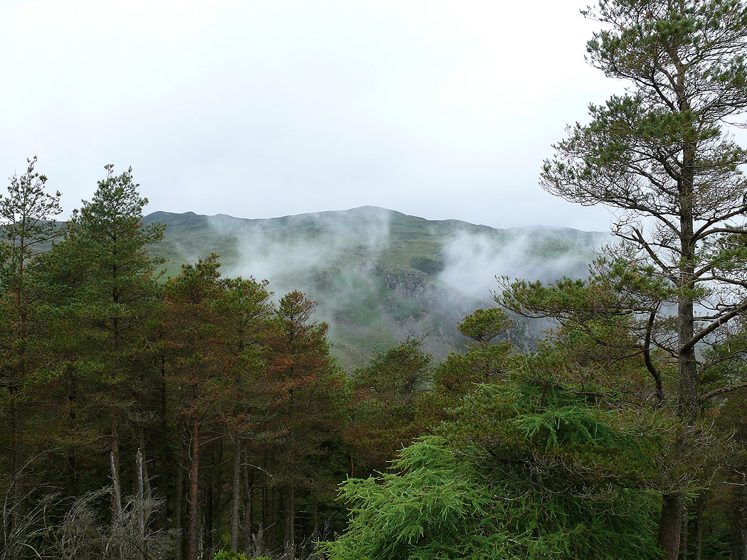
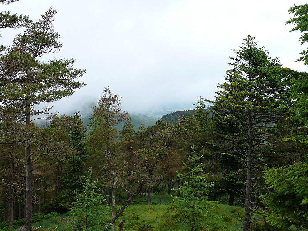
Pictures of trees and mist swirling around....
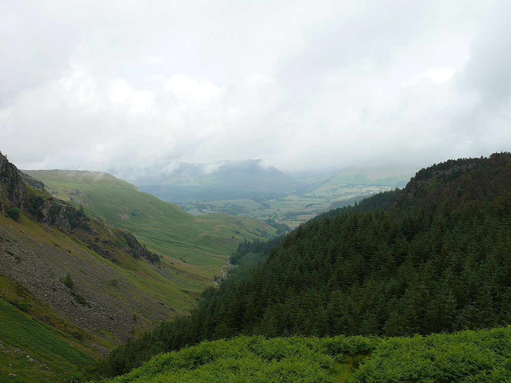
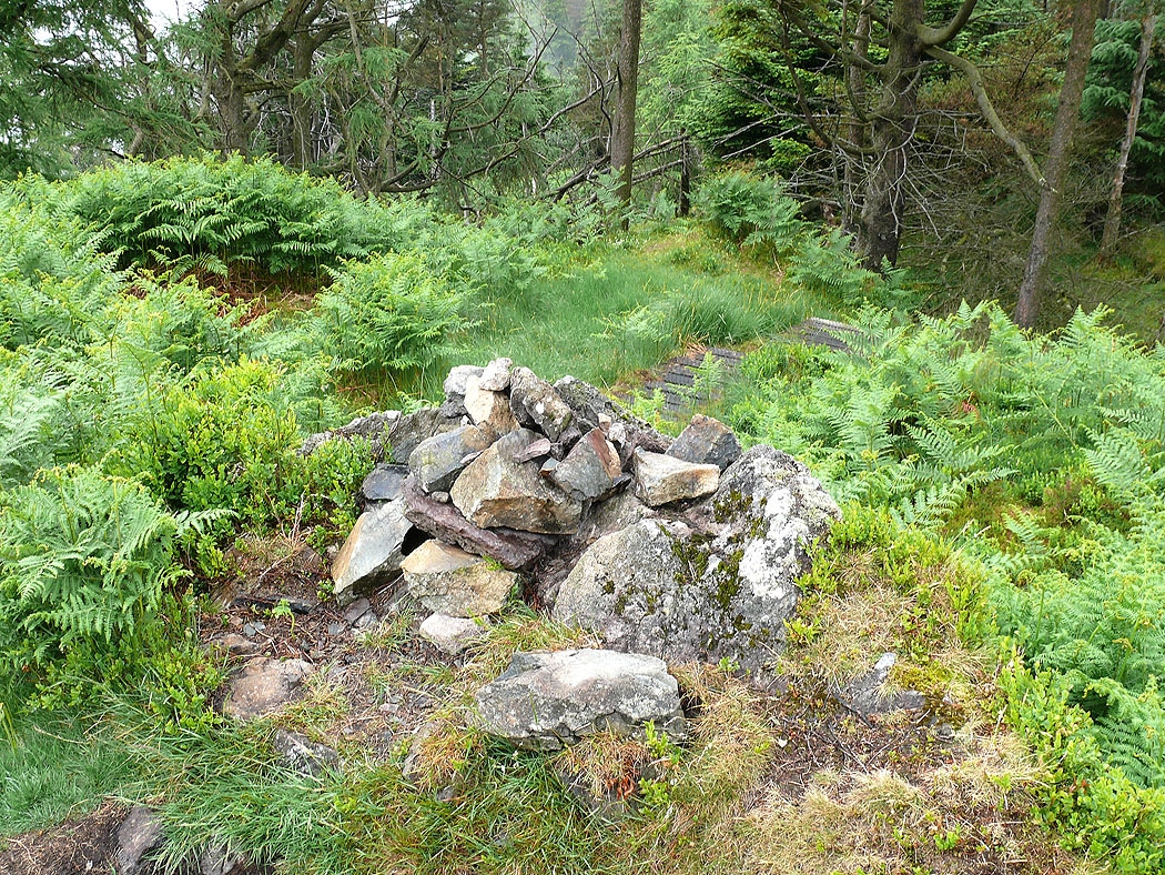
On Castle Crag fort looking down Shoulthwaite Gill
The Benn
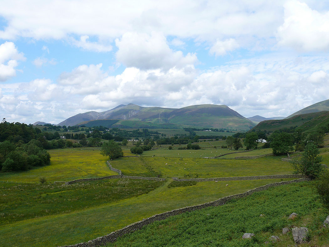
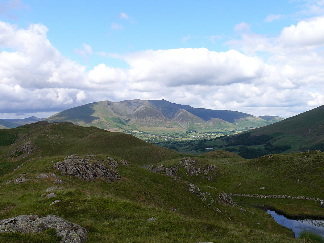
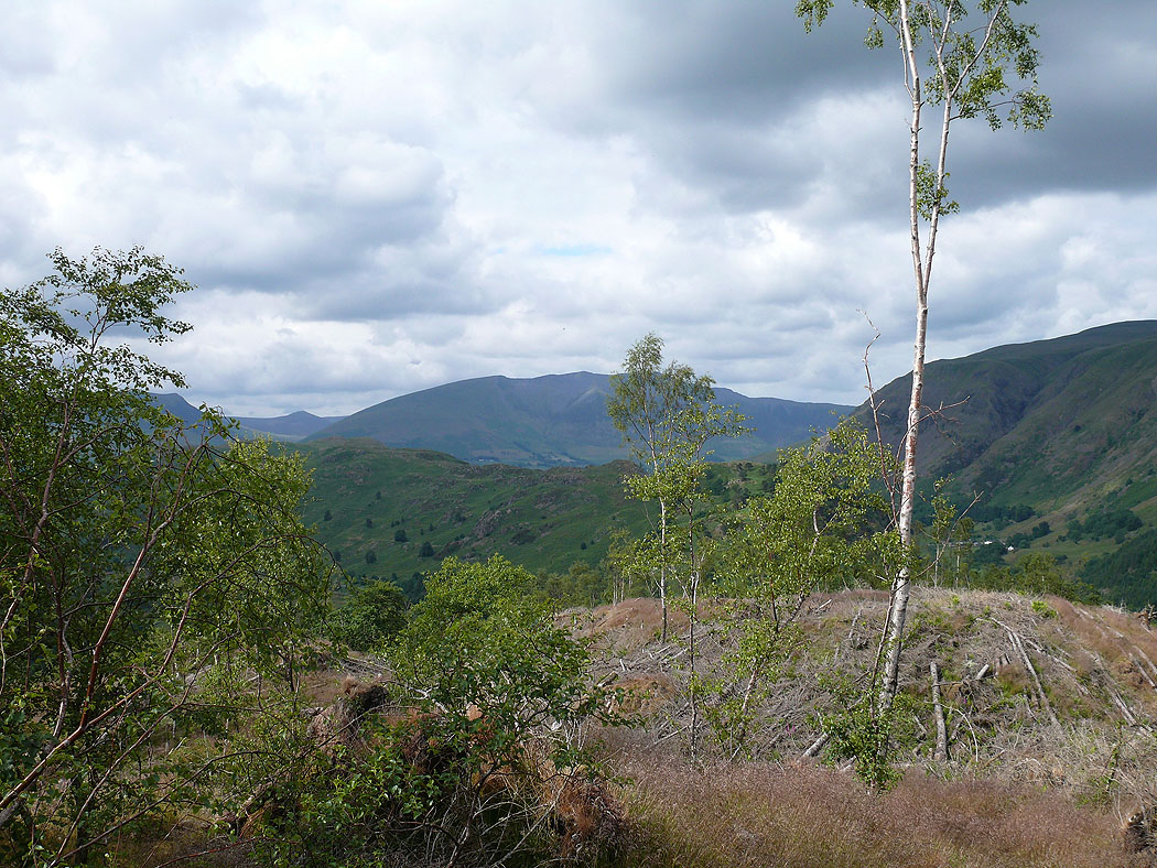
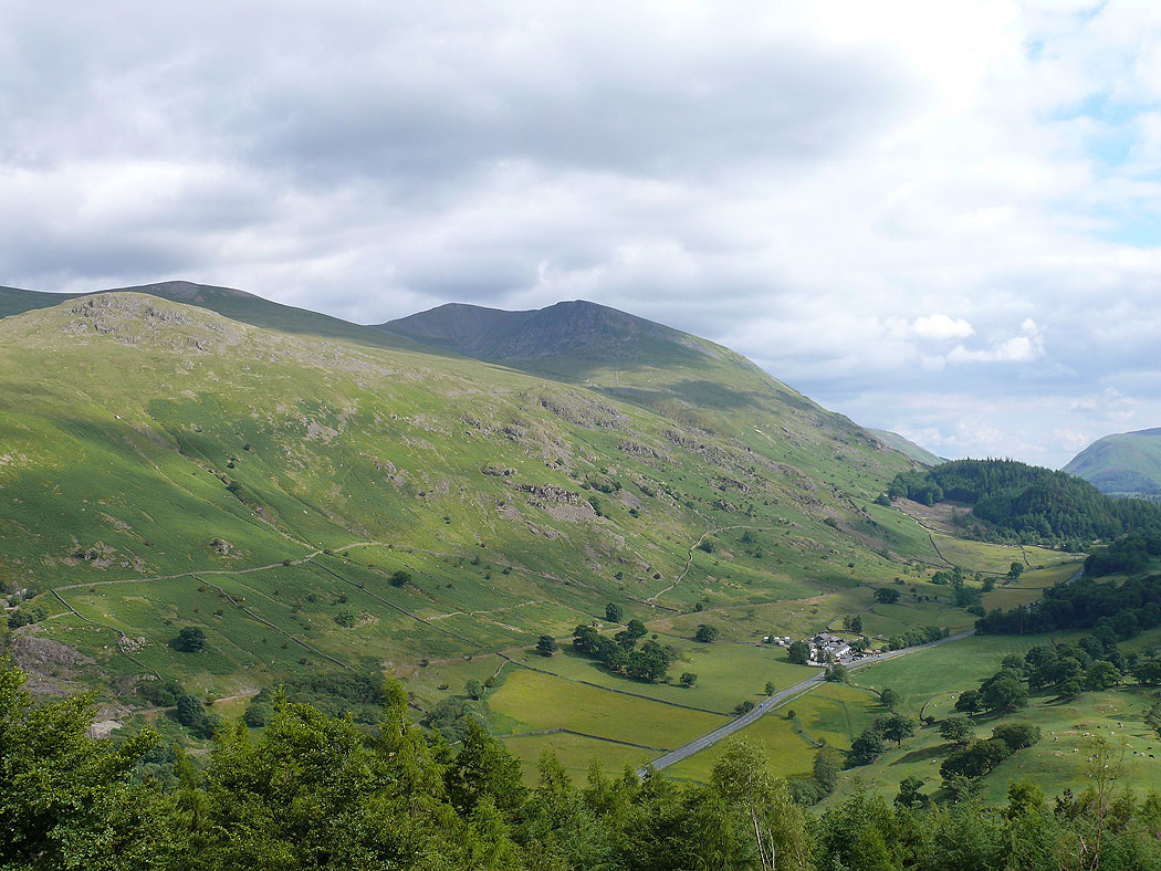
Skiddaw from the path round High Rigg
Blencathra as I make my way up High Rigg from St. John's in the Vale church
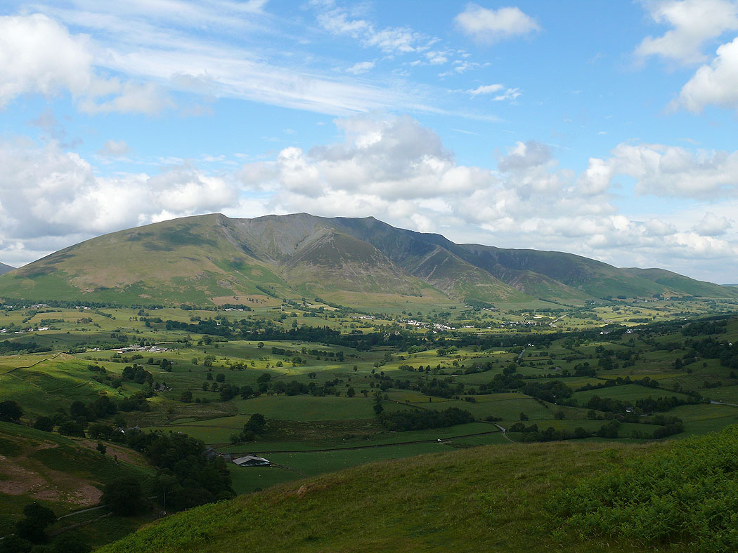
Skiddaw and Lonscale Fell
The northwestern fells with the pointed top of Grisedale Pike
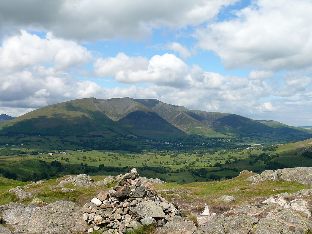
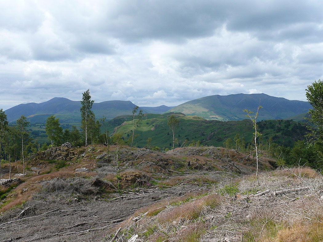
Blencathra from the summit of High Rigg
Along the ridge of High Rigg
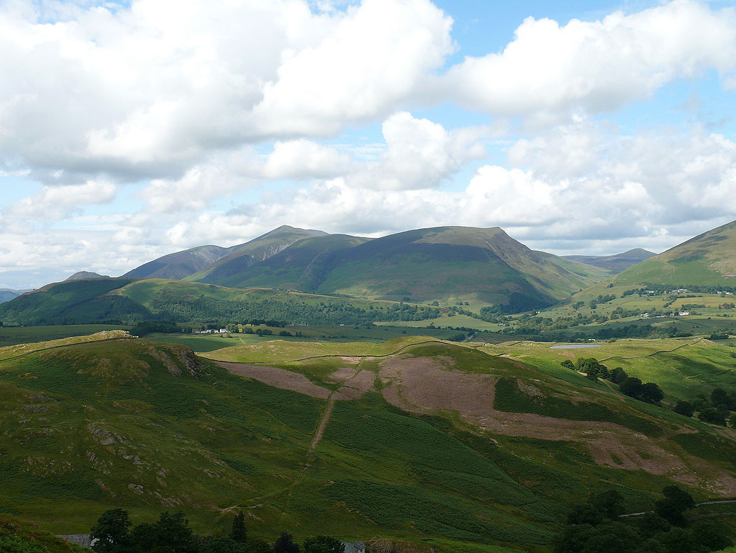
Skiddaw and Lonscale Fell from High Rigg
Blencathra..
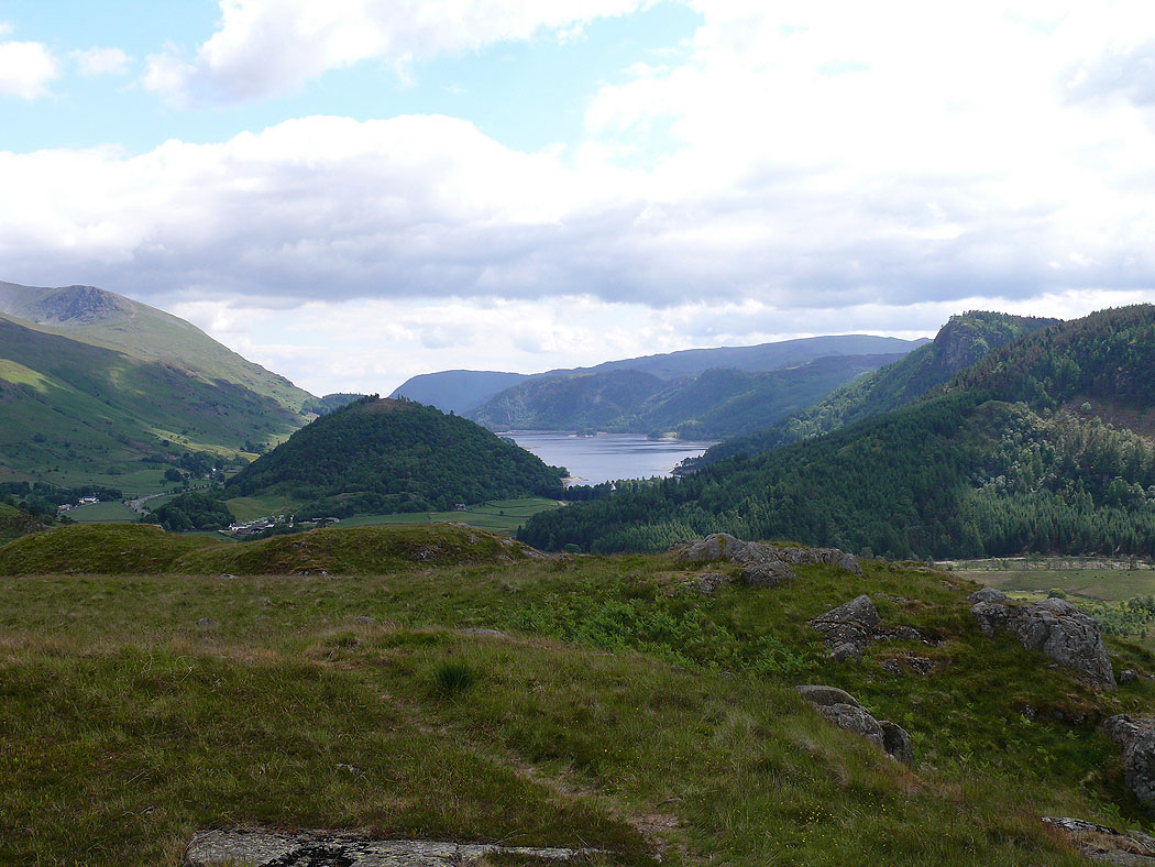
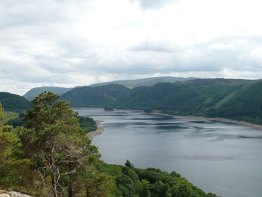
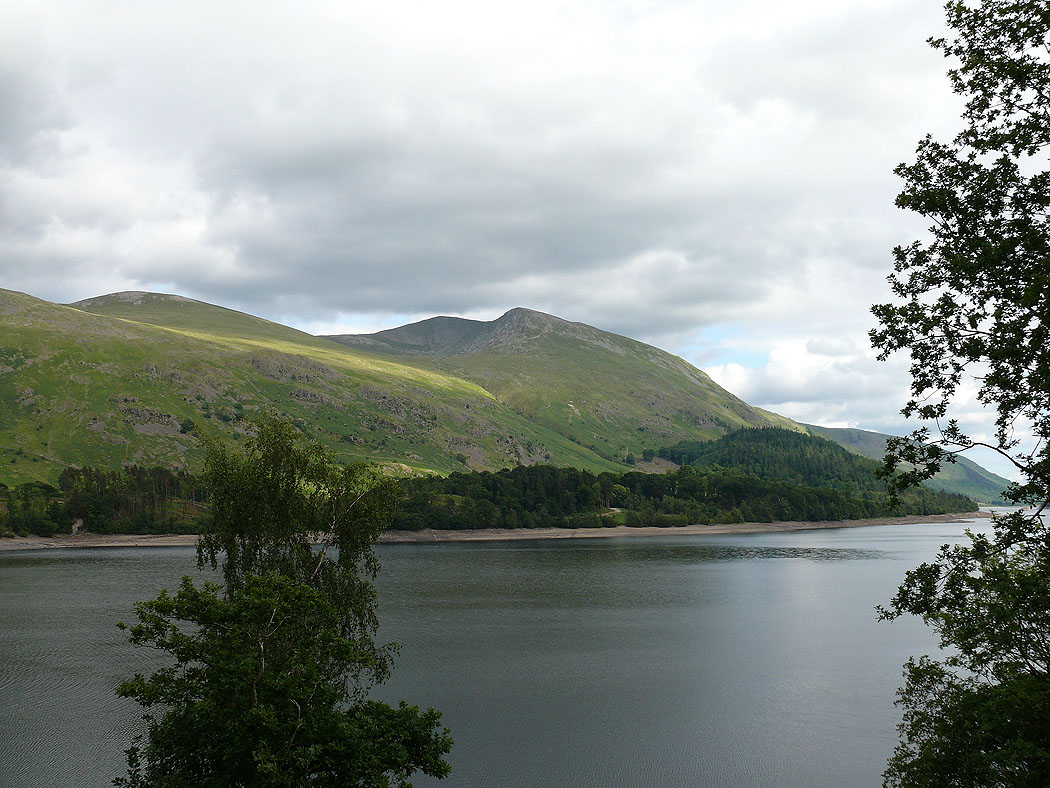
Thirlmere. Great How is the wooded hill to the left and Raven Crag can be seen to the right.
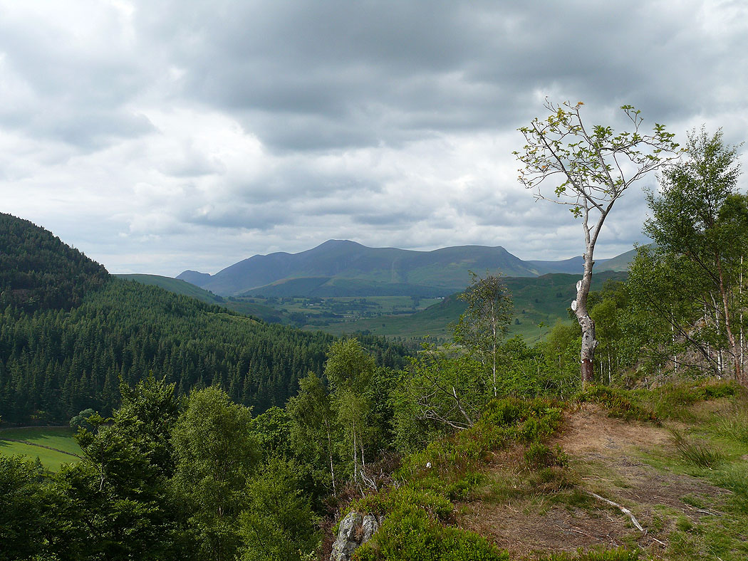
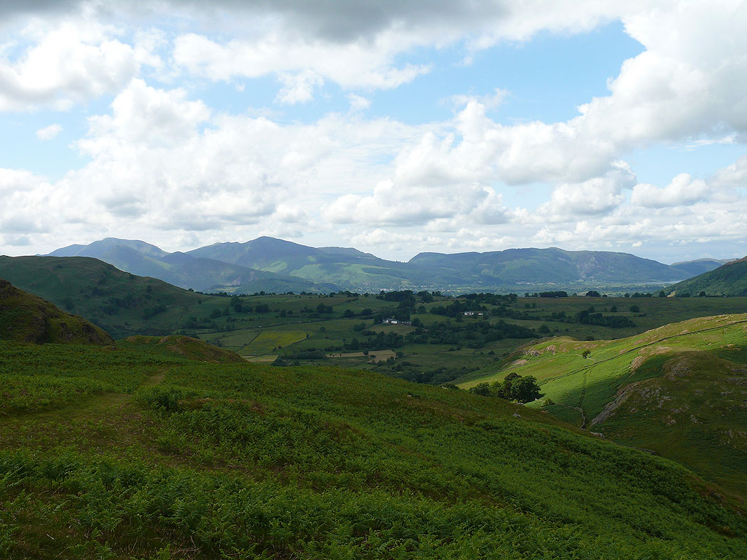
Skiddaw from Great How
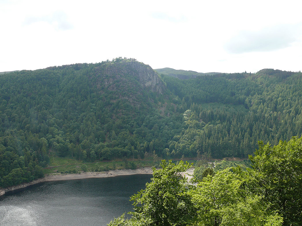
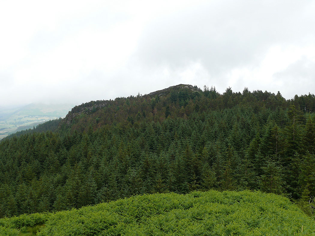
Raven Crag
Thirlmere
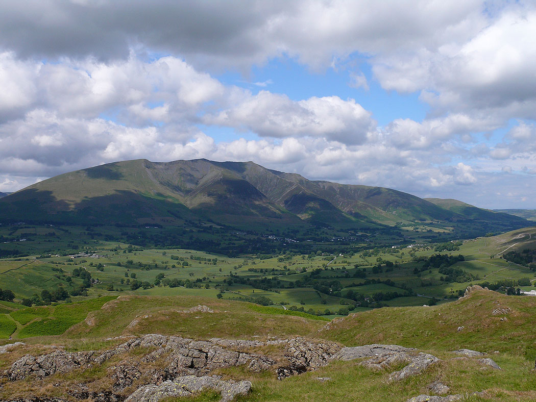
Blencathra
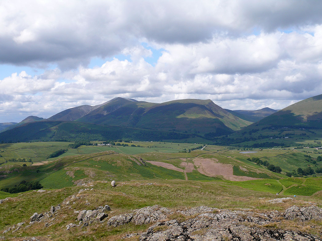
Skiddaw and Blencathra
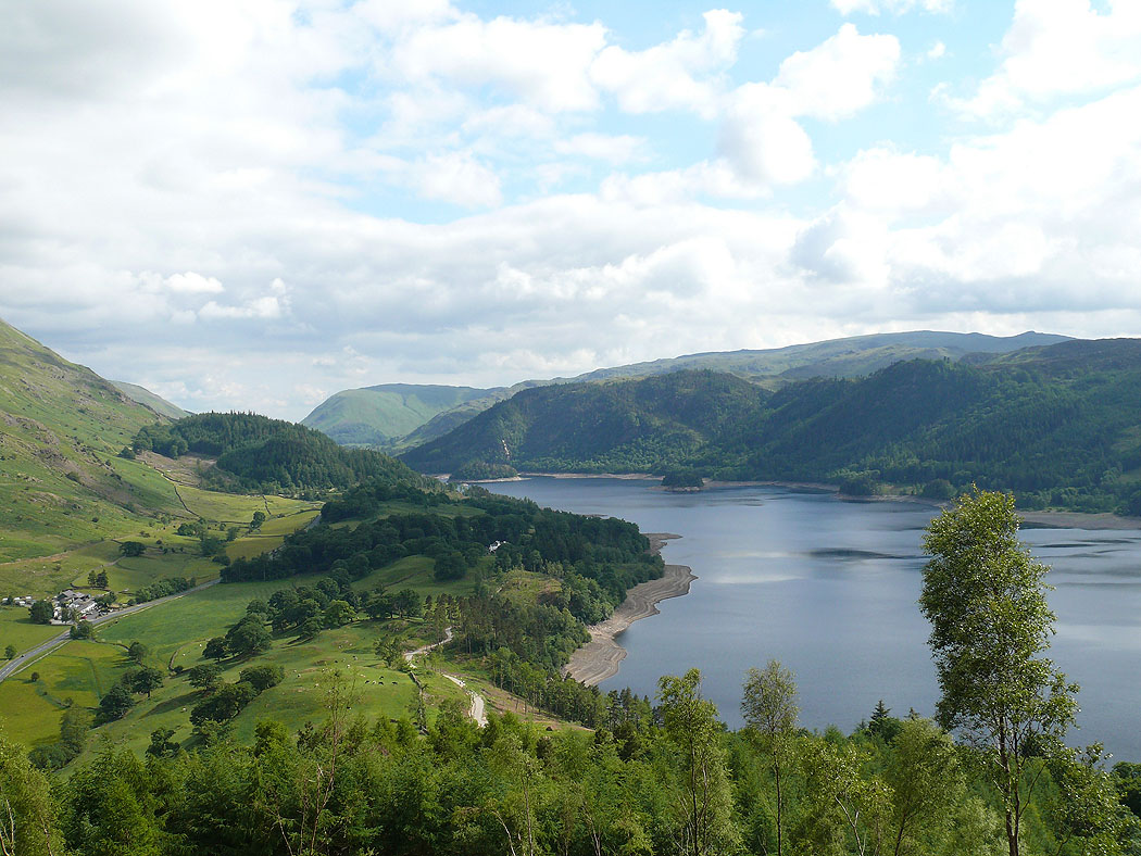
View down Thirlmere
Helvellyn Lower Man
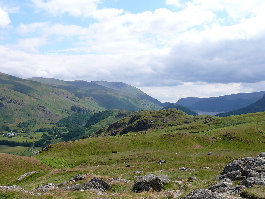
View across Thirlmere to Helvellyn Lower Man