24th June 2012 - Win Hill & Crook Hill
Walk Details
Distance walked: 8.6 miles
Total ascent: 1948 ft
OS map used: OL1 - The Peak District, Dark Peak area
Time taken: 5.5 hrs
Route description: Heatherdene car park-Ladybower Dam-Parkin Clough-Win Hill-Hope Cross-Haggwater Bridge-Bridge end Pasture-Crook Hill- Crookhill Farm-Ashopton Viaduct-Heatherdene car park
A long overdue first walk of the year in the Peak District. Another cool and windy day with a few showers thrown in.
From the Heatherdene car park I crossed the Ladybower Dam and climbed to the summit of Win Hill by the path up Parkin Clough. I then walked along the ridge to Hope Cross before descending through the forest to cross over to the other side of the valley. The route back was over Bridge-end Pasture to Crook Hill, down through the farmyard of Crookhill Farm and across the Ashopton Viaduct back to the car park.
Route map
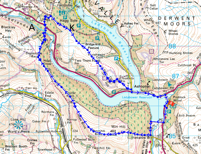
© Crown copyright. All rights reserved. License number PU 100034184.
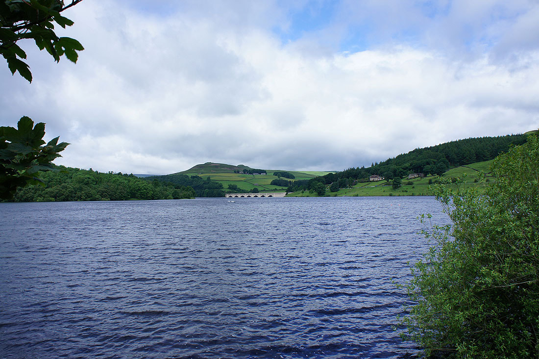
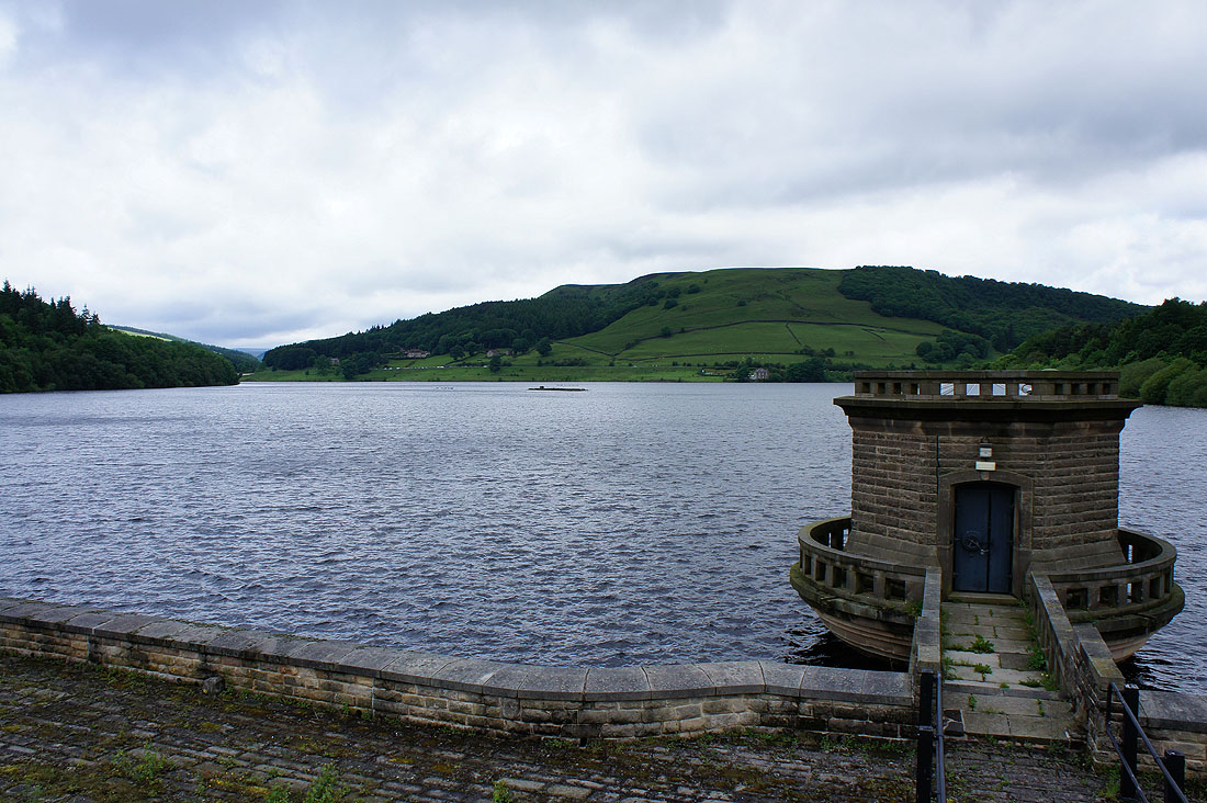
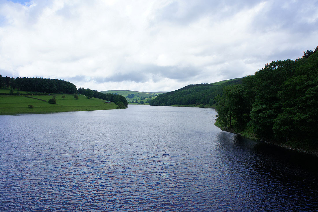
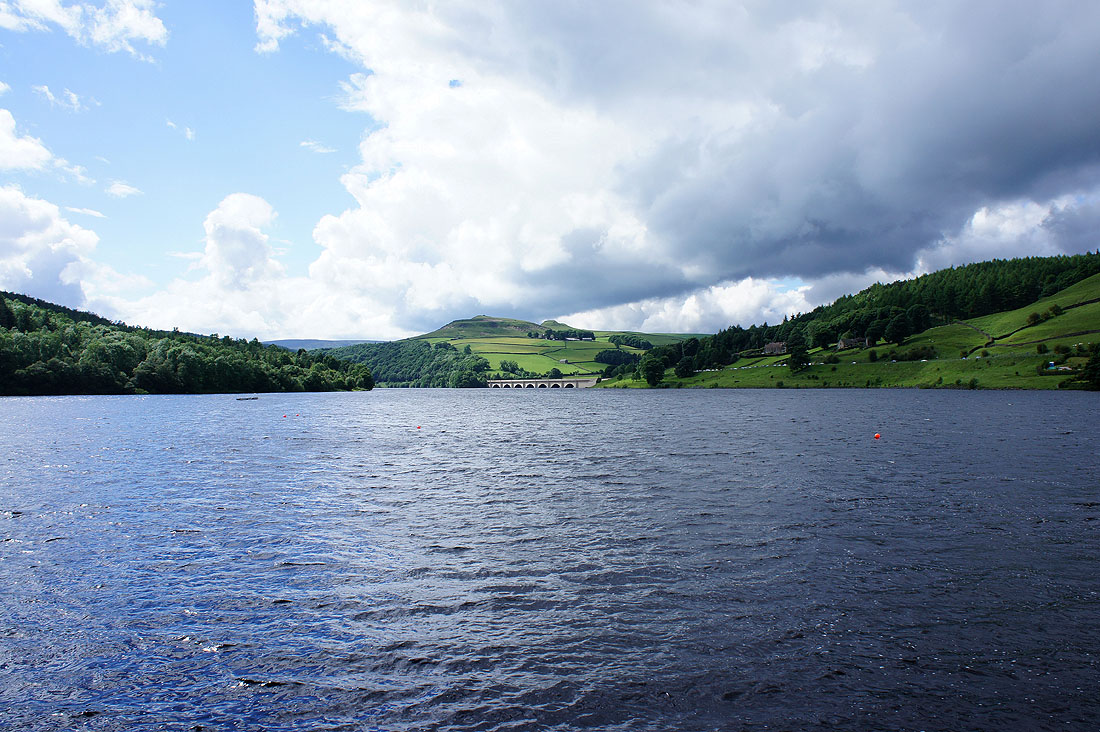
A few shots of a very full Ladybower Reservoir at the start of the walk
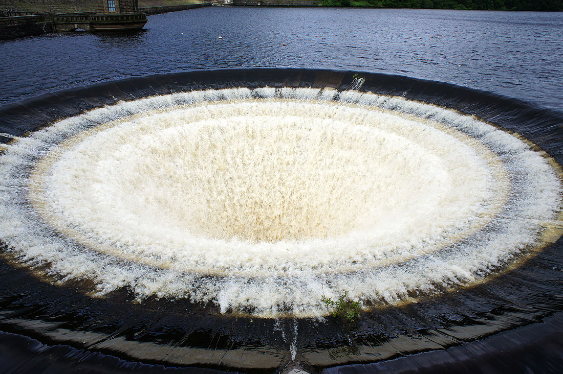
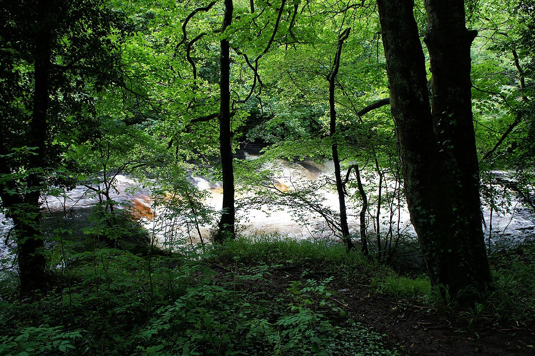
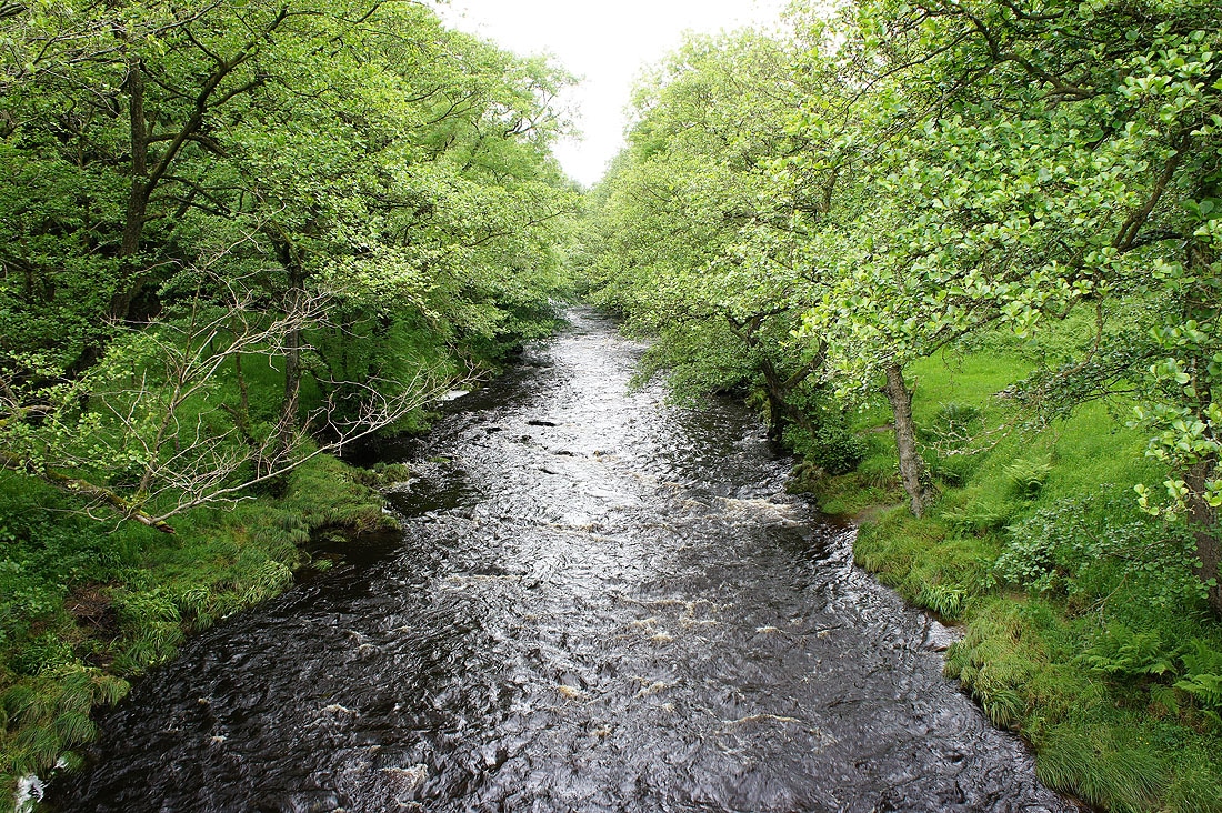
Plenty of water in the Derwent
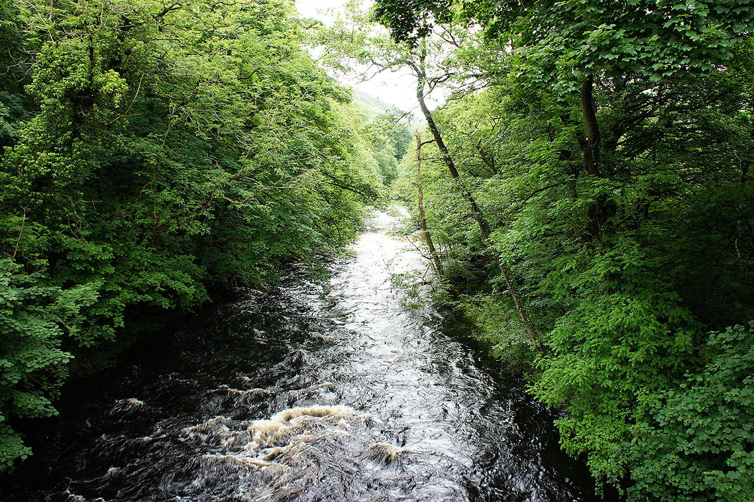
The River Derwent at Yorkshire Bridge
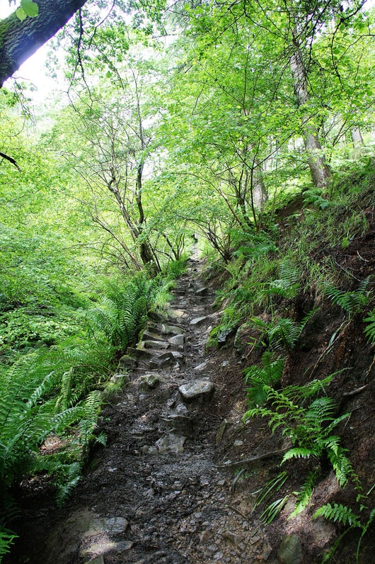
Heading up Parkin Clough
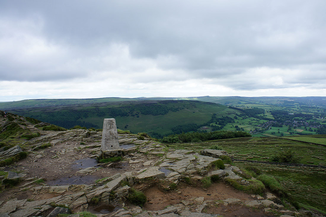
On the summit of Win Hill looking across to Bamford Edge with Stanage Edge behind
Back Tor and Derwent Edge
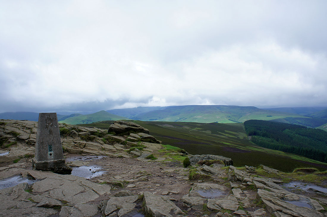
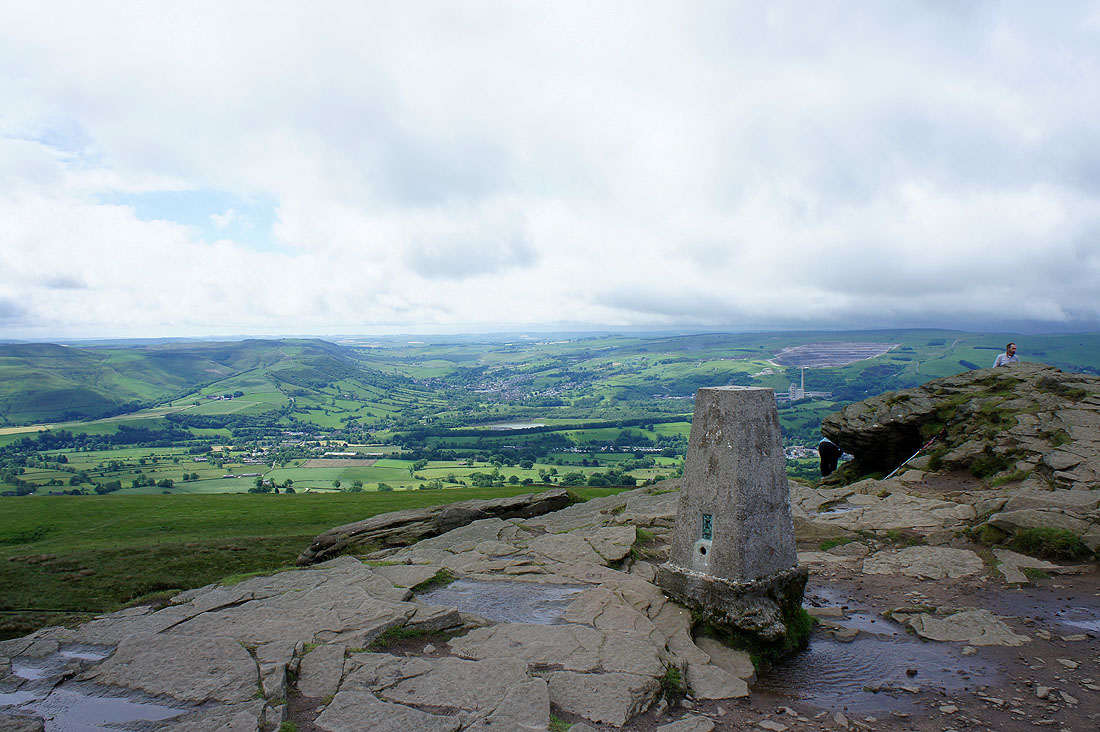
The view towards Kinder Scout. The pointed hill to the right of the trig point is Lose Hill.
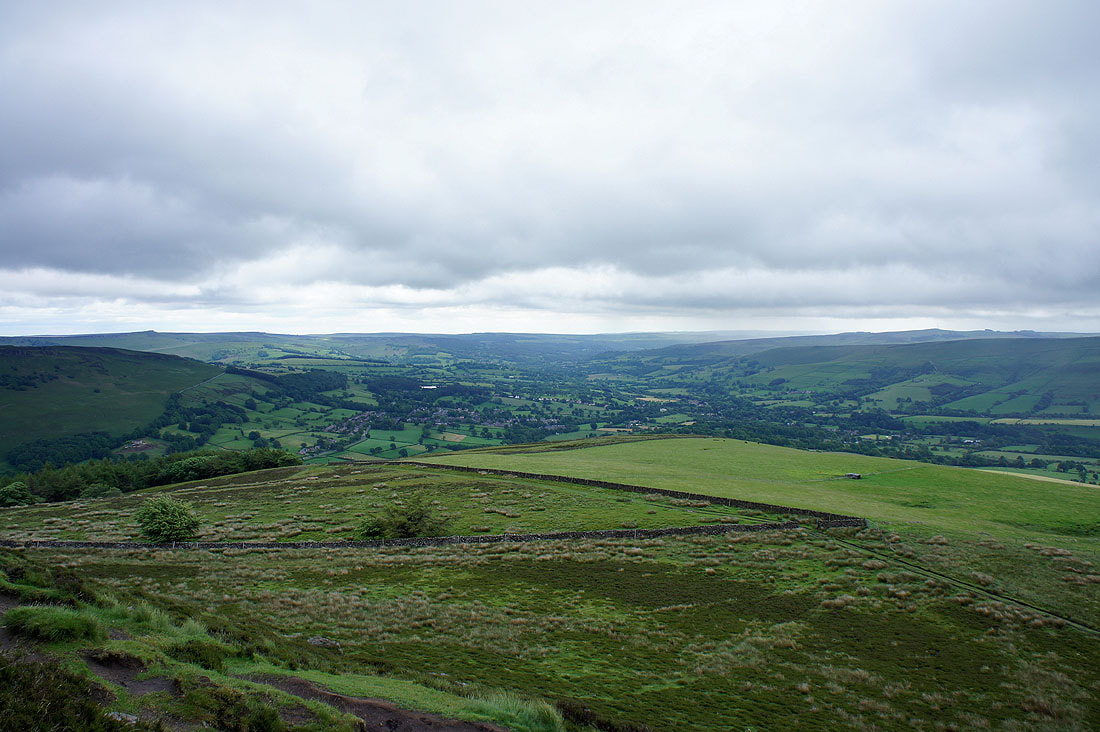
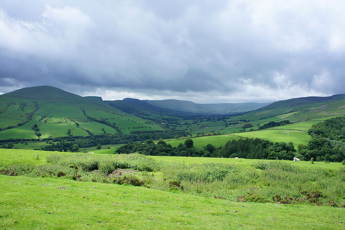
The Hope Valley
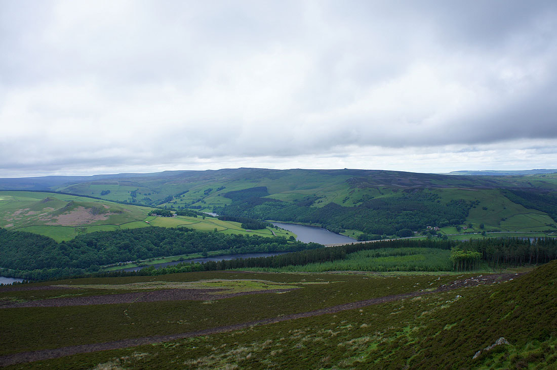
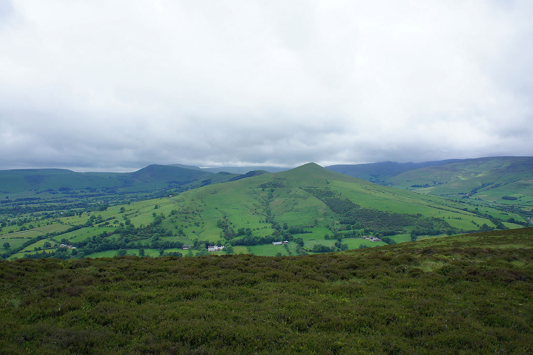
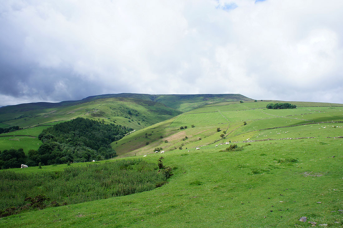
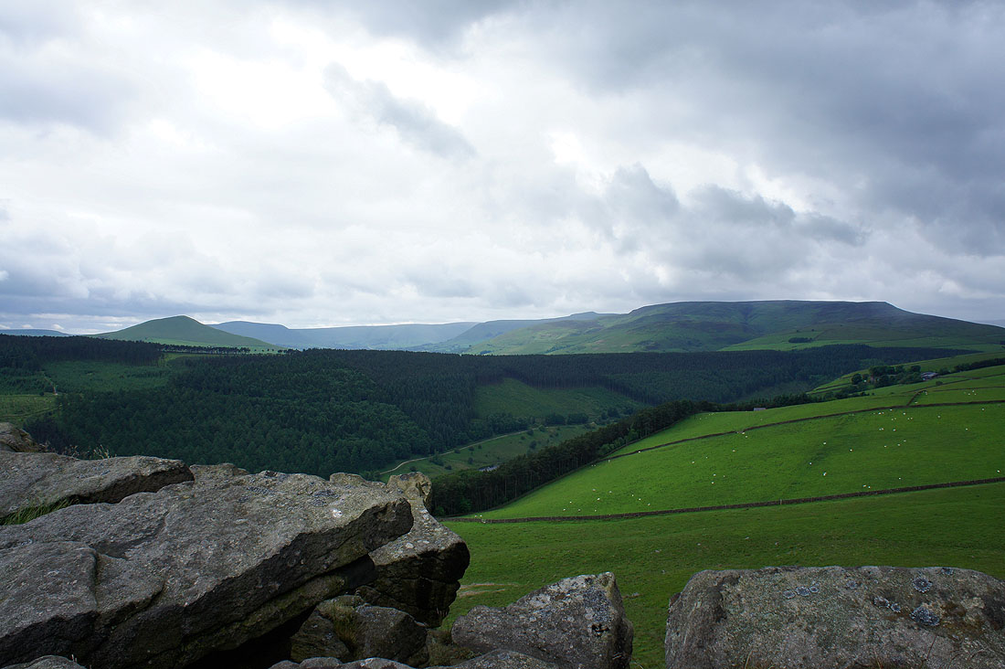
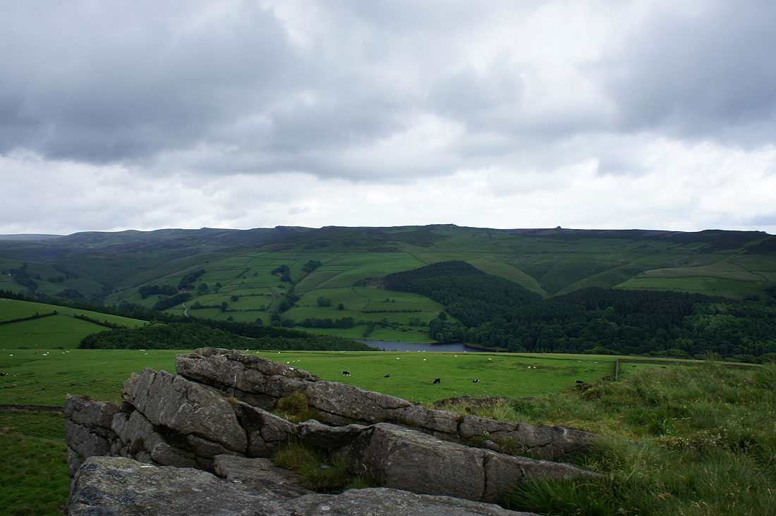
Crook Hill on the other side of the Woodlands Valley
The view towards Bradwell and Bradwell Dale. The limestone quarry is an obvious feature on the right.
Looking back to the rocky top of Win Hill
A couple of shots across to Lose Hill as I head along the ridge..
The eastern end of Kinder Scout
The Vale of Edale
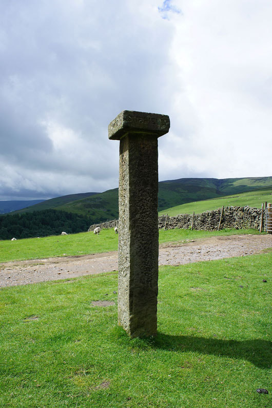
Hope Cross
A last look back along the ridge towards Win Hill. I'm now going to head down into the forest to cross the River Ashop and the A57 to the other side of the valley.
Crossing the River Ashop at Haggwater Bridge
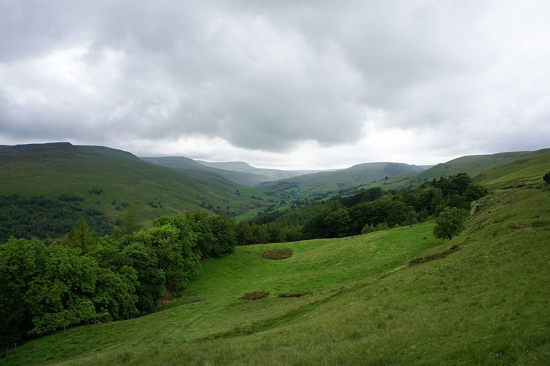
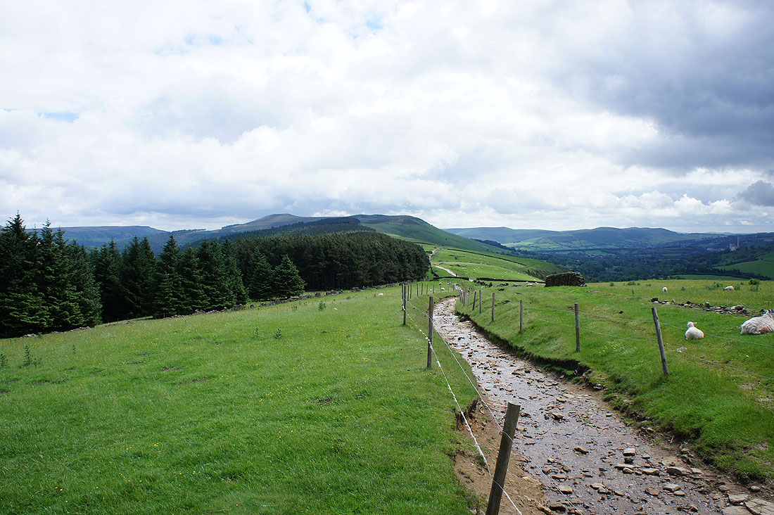
I've made my way up to the bridleway across Bridge-end Pasture and I'm treated to this view of the Woodlands Valley. Kinder Scout's northern slopes are on the left.
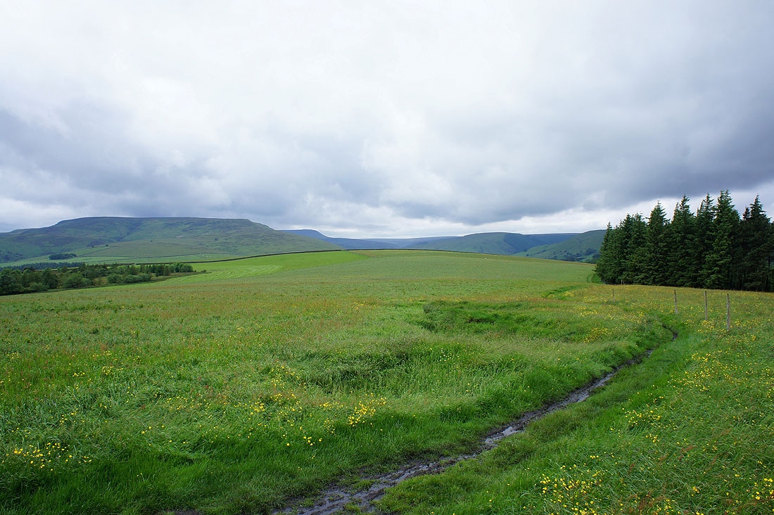
On Bridge-end Pasture. The end of the Kinder Scout plateau is on the left.
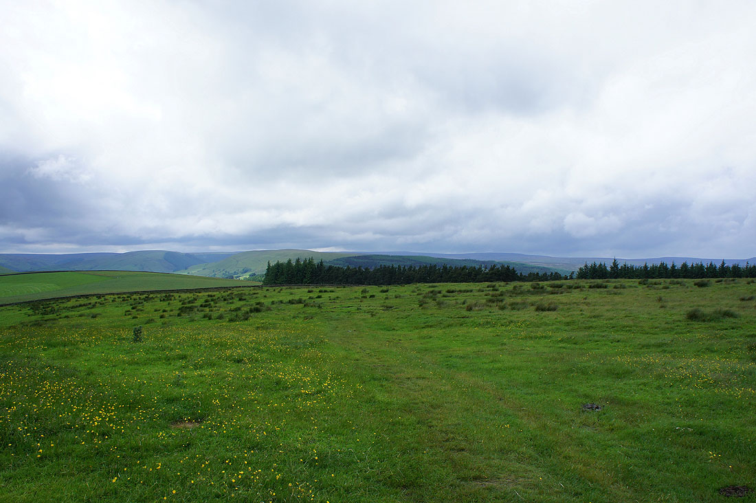
Looking towards the distant heights of Bleaklow
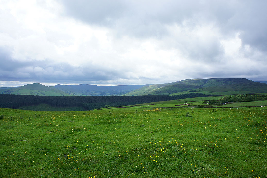
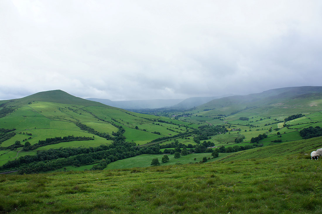
The Vale of Edale with the Great Ridge on the left and Kinder Scout on the right
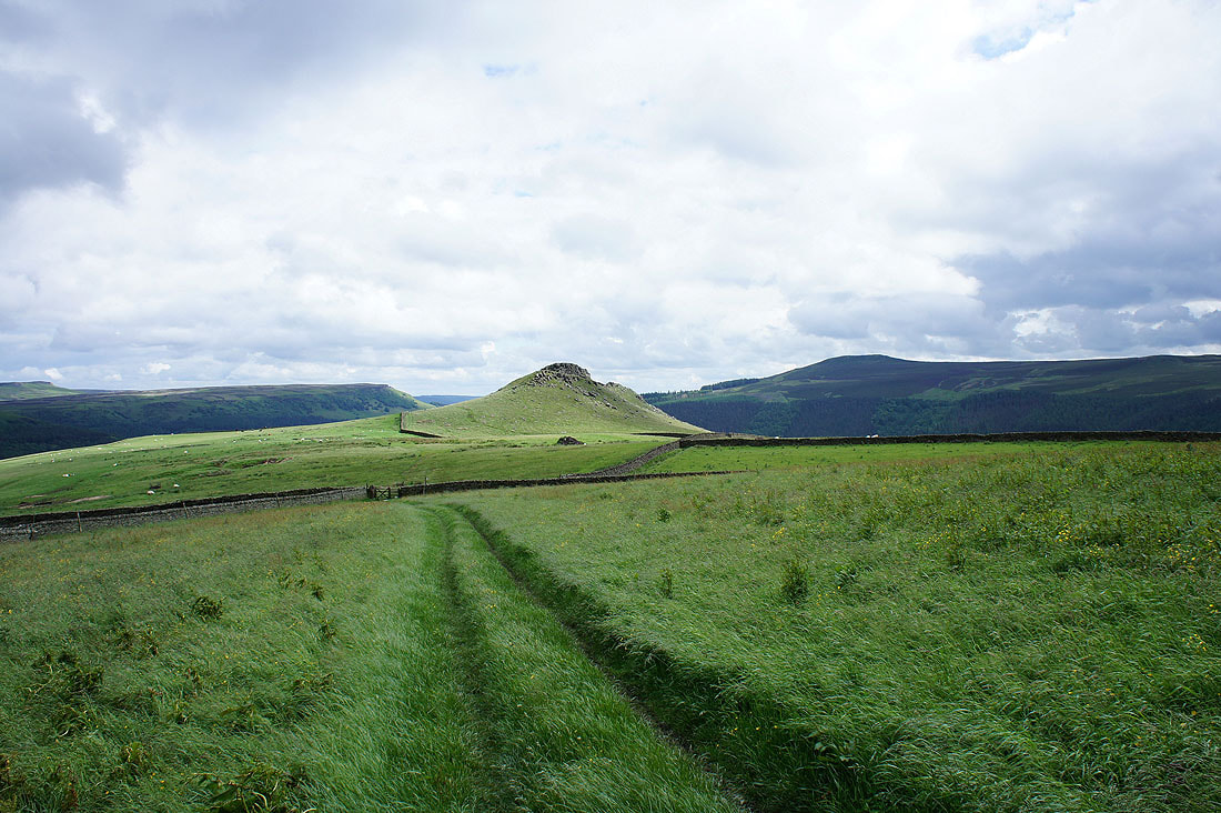
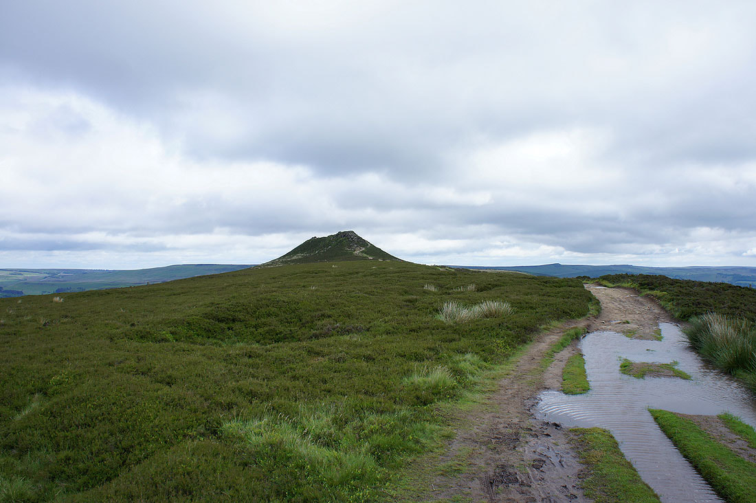
The rocky top of Crook Hill ahead. Quite out of place in its surroundings.
On Crook Hill with a view across to the Vale of Edale, bounded on one side by the pointed top of Lose Hill and on the other by Kinder Scout
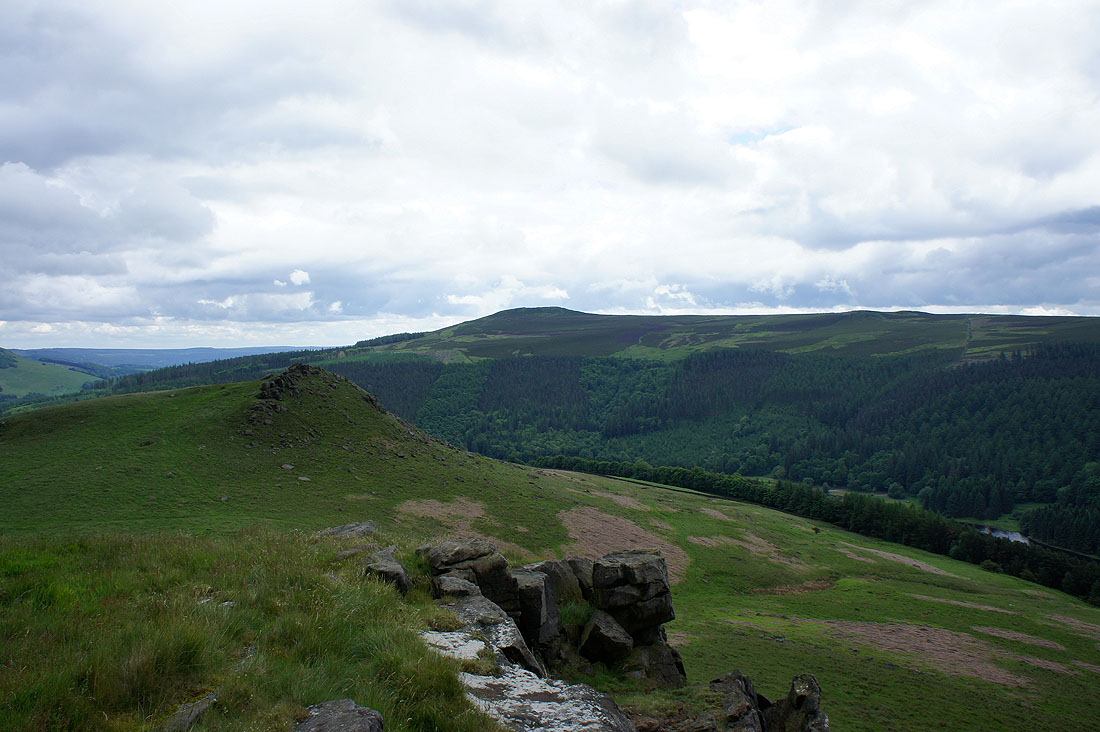
Win Hill and the other top of Crook Hill
Derwent Edge from Crook Hill
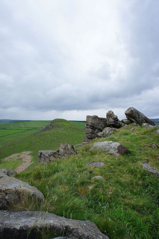
On the south top of Crook Hill looking back to the north one
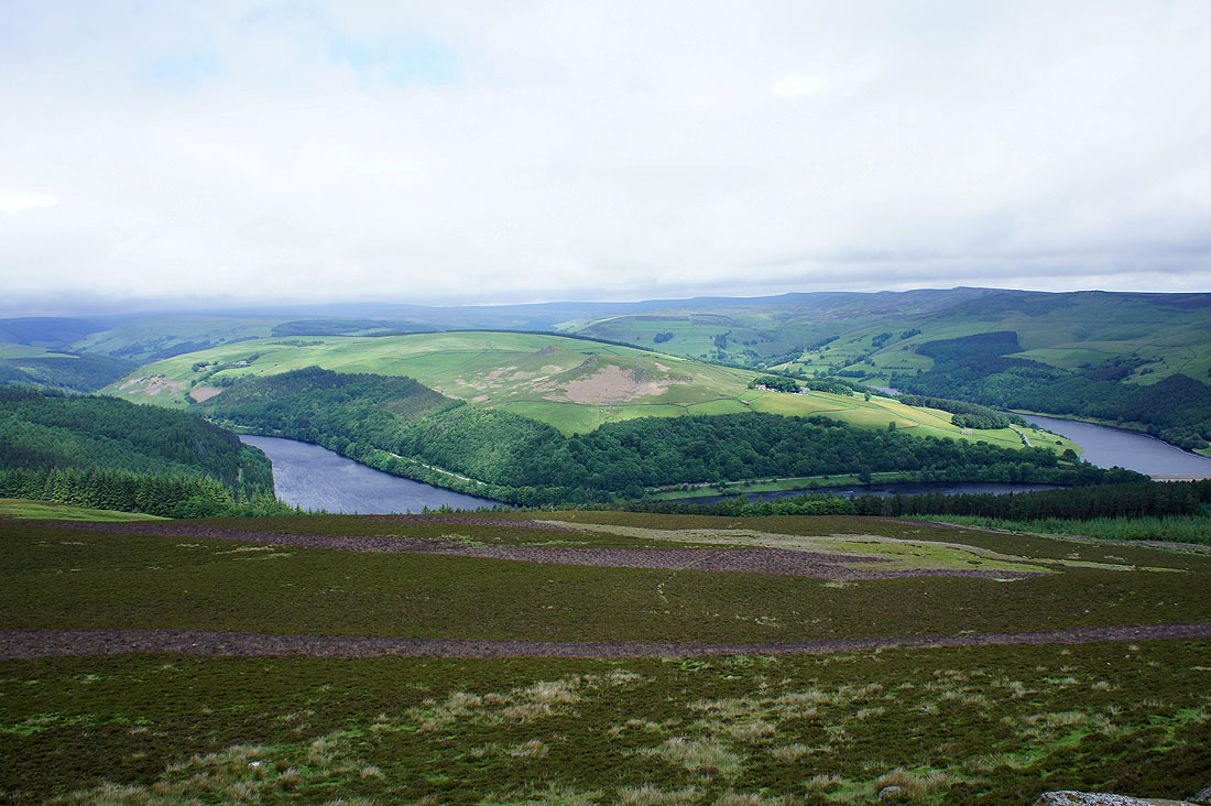
A view of Ladybower Reservoir from Crook Hill. My route back is across the bridge.
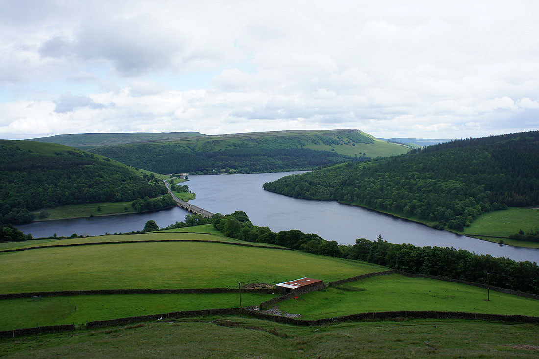
The Ladybower Reservoir from the Ashopton Viaduct
A bright end to the walk