24th June 2018 - Scafell Pike and Lingmell
Walk Details
Distance walked: 7.6 miles
Total ascent: 3420 ft
OS map used: OL6 - The English Lakes, Southwestern area
Time taken: 7 hrs
Route description: NT car park, Brackenclose-Down in the Dale-Wasdale Head-Burnthwaite-Sty Head-Corridor Route-Middleboot Knotts-Broad Crag col-Scafell Pike-Lingmell Col-Lingmell-NT car park, Brackenclose
After yesterday's blip the hot and sunny weather is back with a vengeance today and it's even hotter than it was on Friday. England's highest mountain, Scafell Pike, is my target for today. It's my sixth visit to its summit but my first since 2008; for Lingmell, my third visit and first since 2007. I decided to make it a long, gradual ascent by taking the bridleway from Wasdale Head to Sty Head and then the Corridor Route along the western flank of the Scafell range to the top of Piers Gill. It's not a long walk even going that roundabout way, so I could take my time and appreciate the fantastic scenery on what was a beautiful summer's day. Wall-to-wall blue skies and sunshine with thankfully a bit of a breeze high up. After my evening meal at The Strands Inn I walked from Nether Wasdale to the foot of Wast Water and back, the pictures that I took are at the end of this report. I did the same the previous evening but the weather was nowhere near as good.
From the NT car park at Brackenclose I took the bridleway north across Lingmell Beck to Wasdale Head and then on to Burnthwaite, where I picked up the bridleway by Lingmell Beck to Sty Head. Once at Sty Head I took the Corridor Route path south. Before I reached the top of Piers Gill I left the path to visit the top of Middleboot Knotts, where I had lunch. Once back on the Corridor Route I soon reached the top of Piers Gill and this was my cue for the climb to Broad Crag col and the final ascent to the summit of Scafell Pike. After bagging the summit I made my way across to the south top to take in the great views from there. On returning to the summit cairn I took the path down to Lingmell Col and then made my way up to the summit of Lingmell. There was a steep final descent from Lingmell down to Lingmell Gill to pick up the Hollow Stones path back to the car park.
Route map
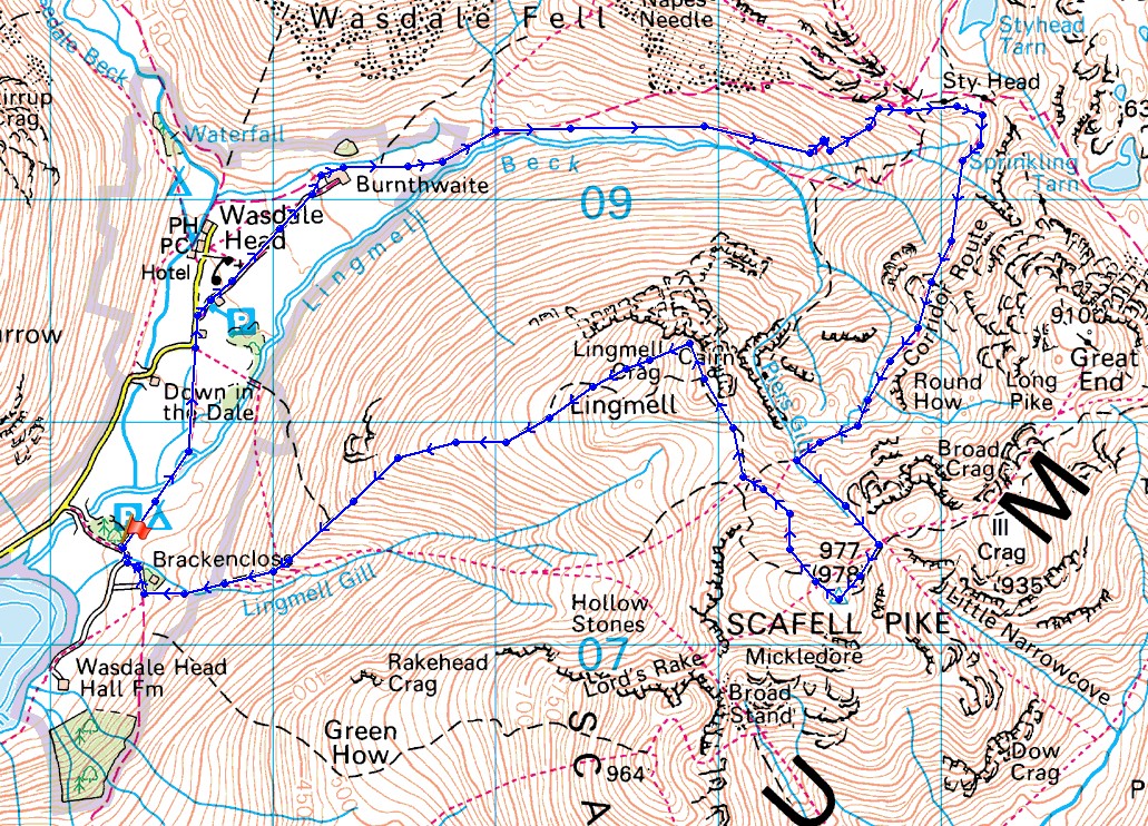
© Crown copyright. All rights reserved. License number PU 100034184.
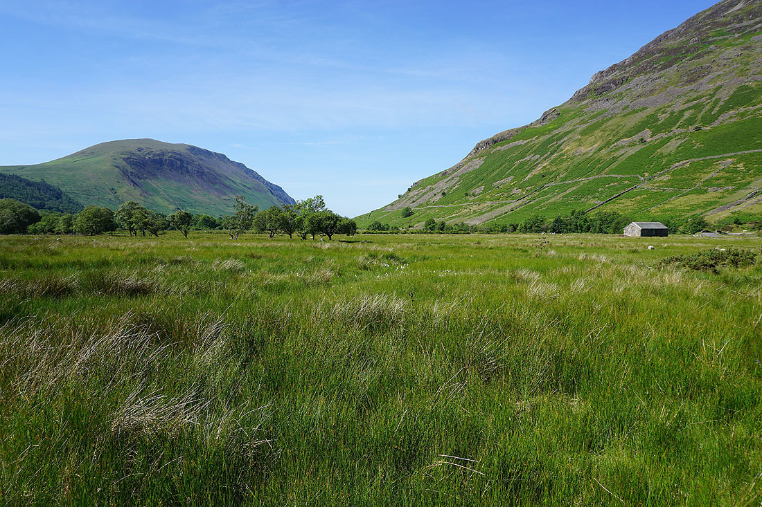
Illgill Head as I set off from Wasdale Head
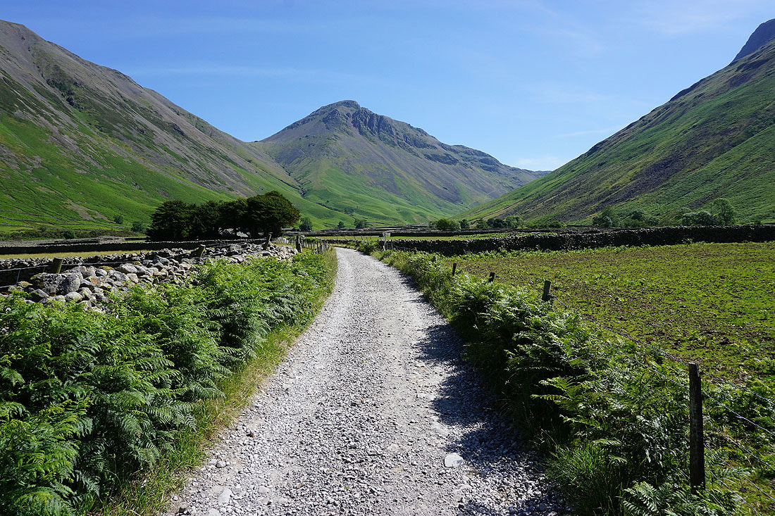
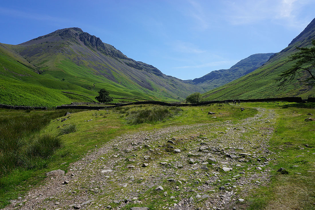
Great Gable ahead as I walk along the bridleway past St. Olaf's Church
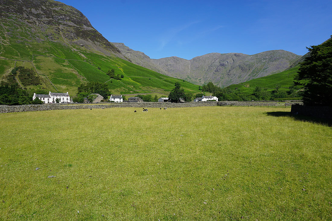
The hamlet of Wasdale Head. It may only be mid-morning but it already feels hot.
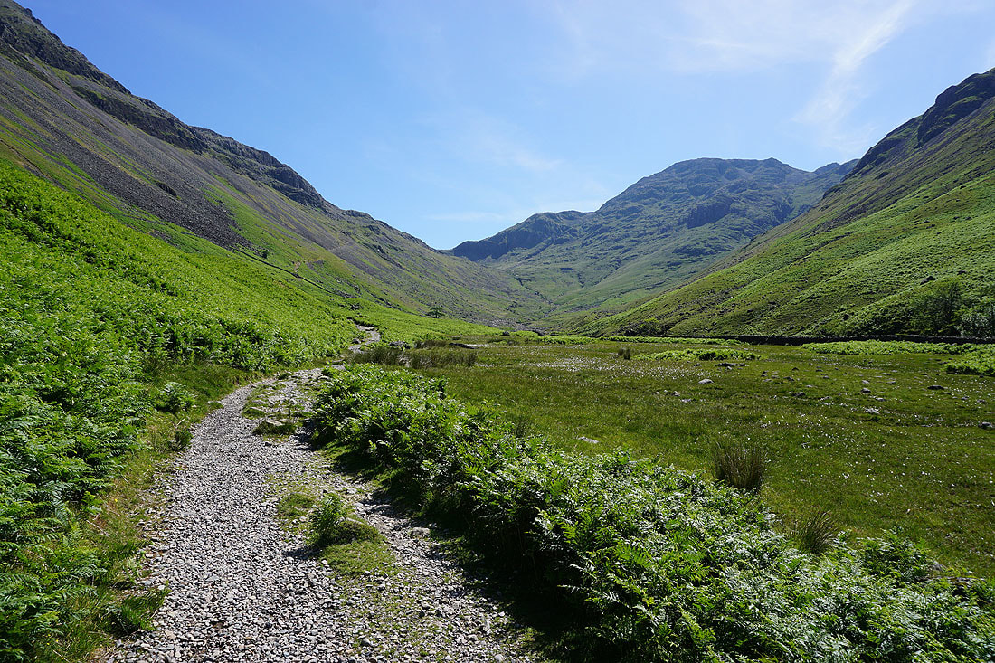
On the bridleway towards Sty Head..
Looking back to Wasdale Head by Lingmell Beck..
Great Gable and Green Gable as I join the Corridor Route
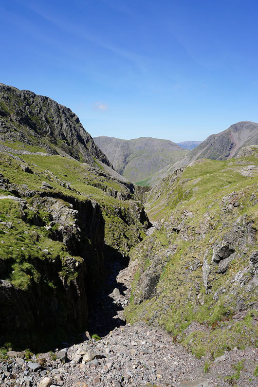
Looking up Skew Gill
Looking back to Sty Head
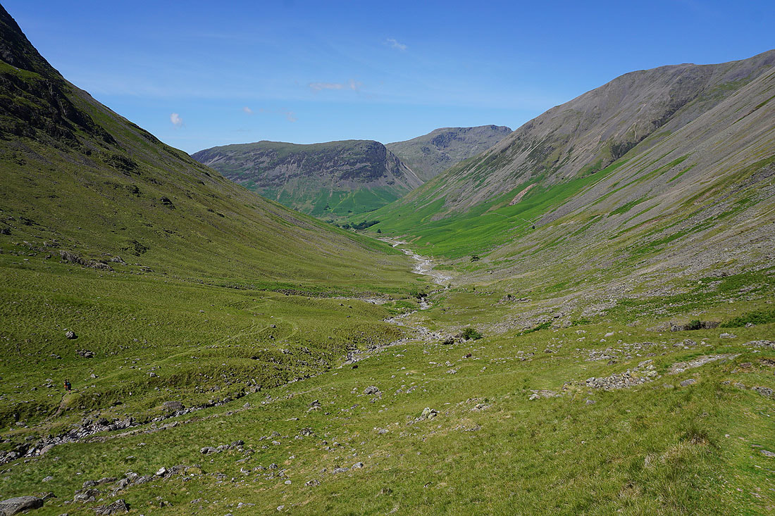
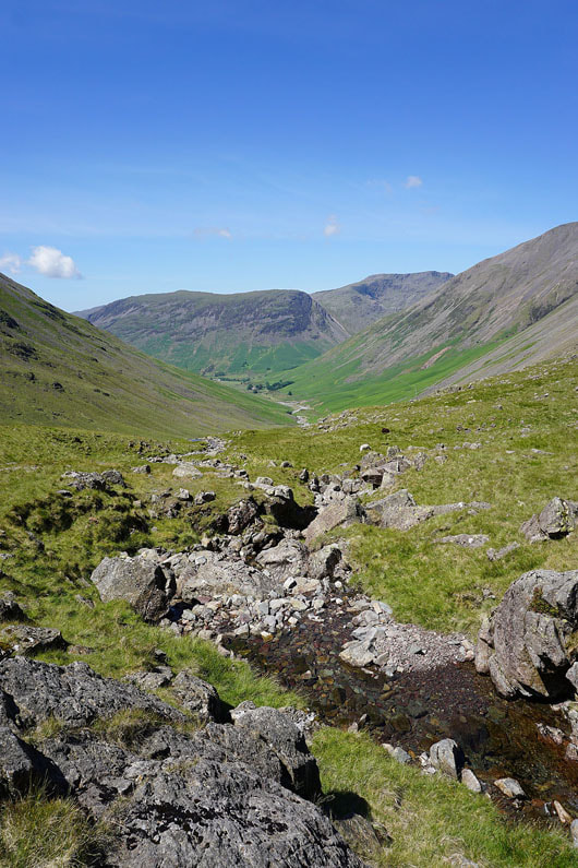
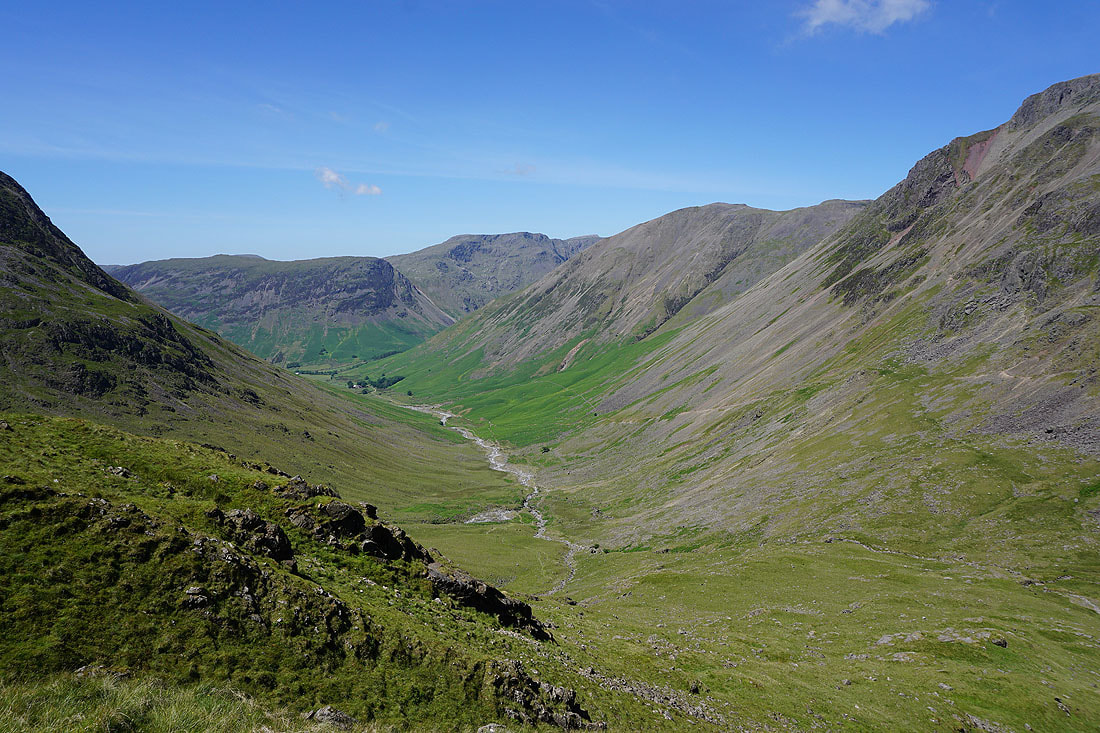
In the other direction, Lingmell and the valley of Lingmell Beck down to Wasdale Head..
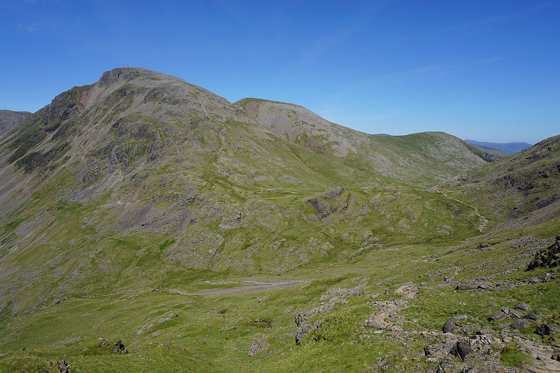
Great Gable, Green Gable, Sty Head and Base Brown
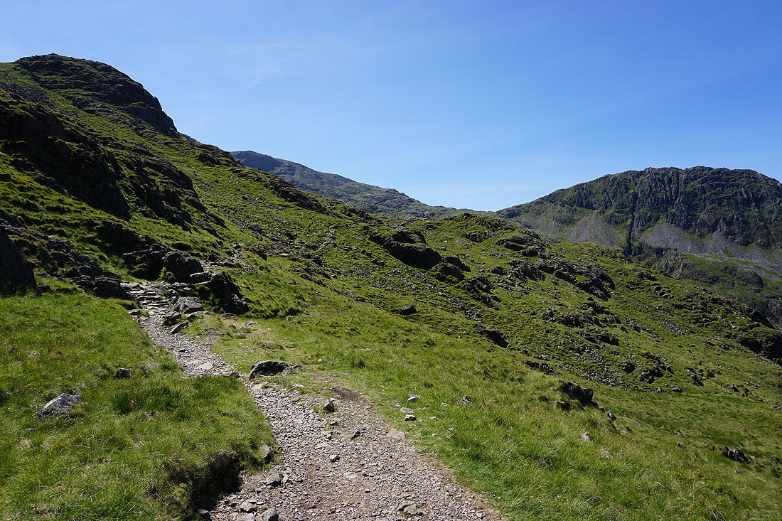
Great scenery as I follow the path south
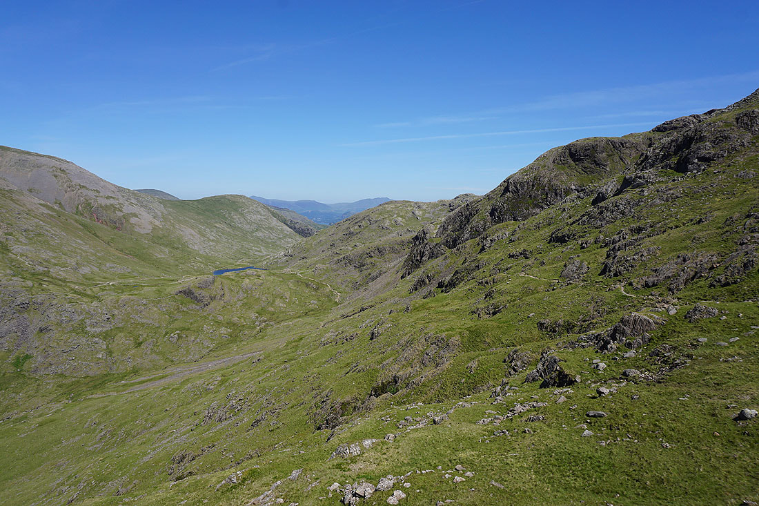
Looking back to Sty Head and I can now make out Styhead Tarn
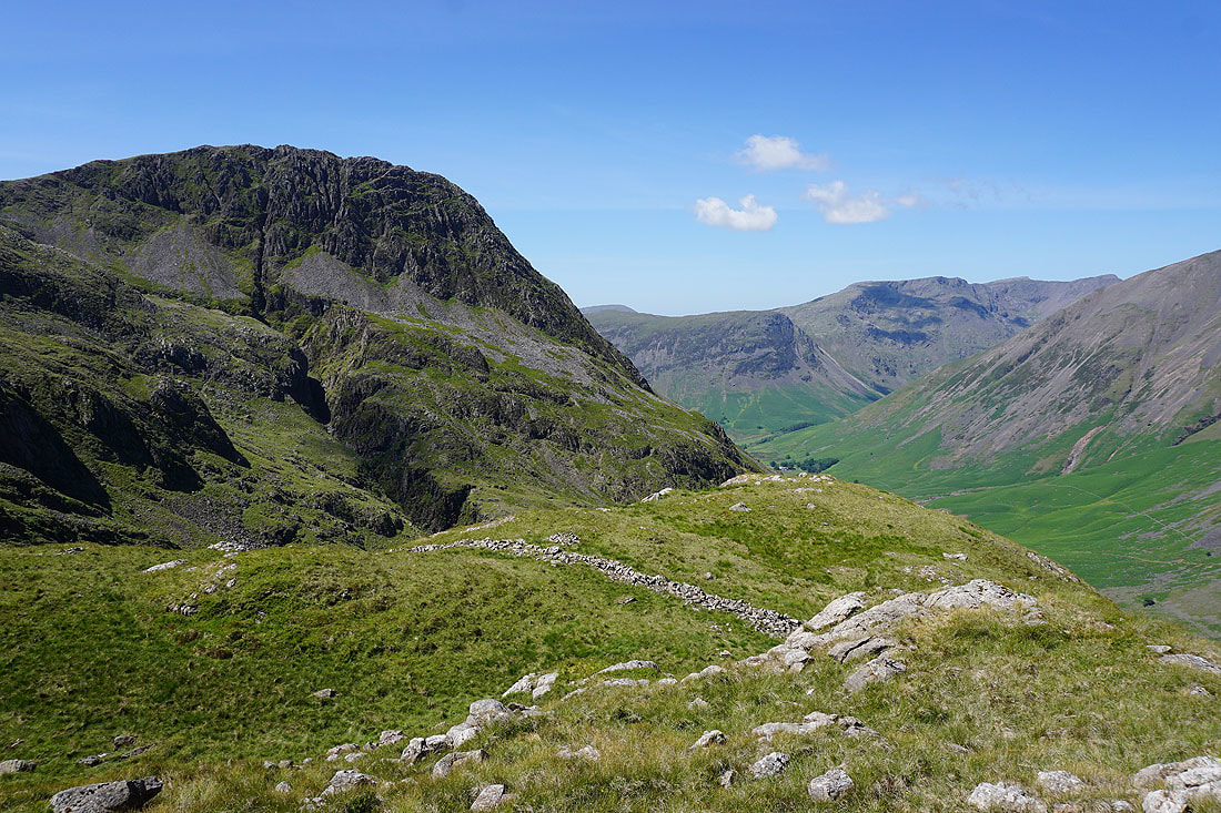
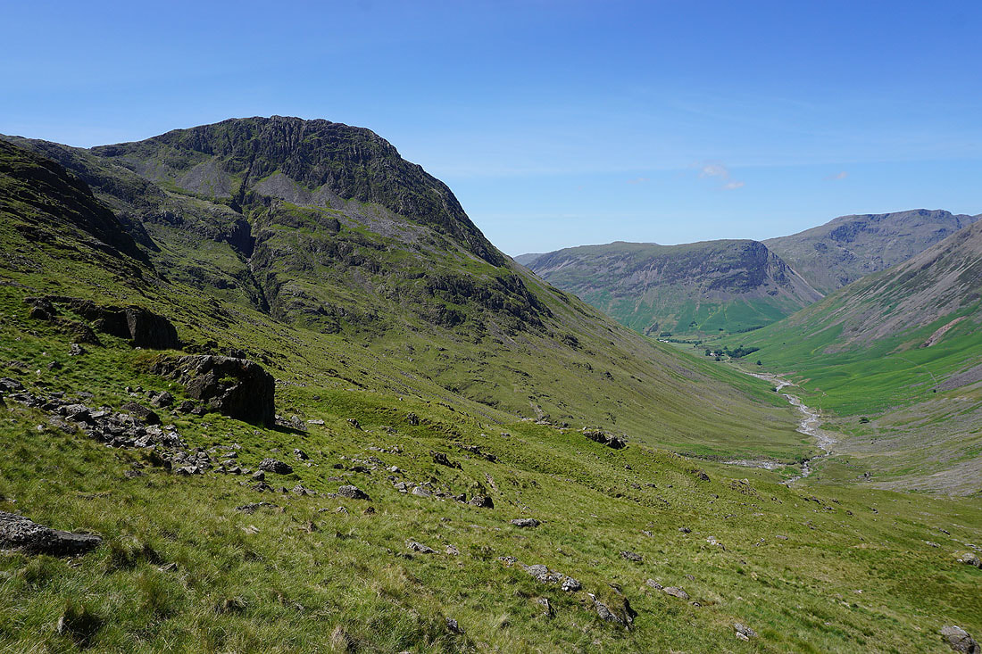
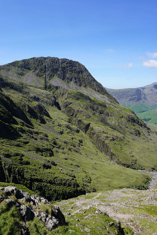
The impressive east face of Lingmell, scarred with gullies and ravines..
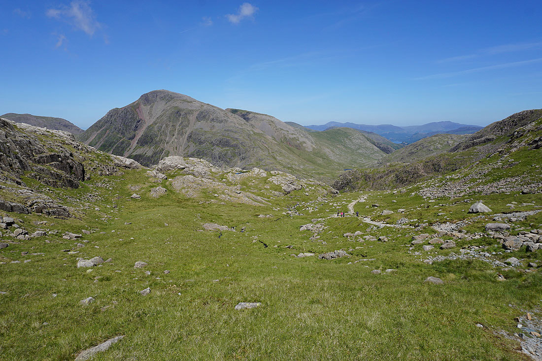
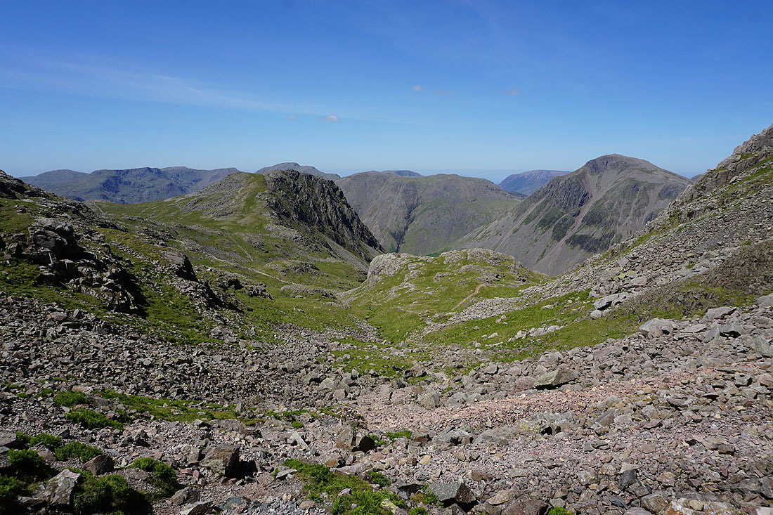
Great Gable, Green Gable, Sty Head, Base Brown, Skiddaw and Blencathra as I approach the top of Piers Gill. I'm going leave the path and visit the top of Middleboot Knotts.
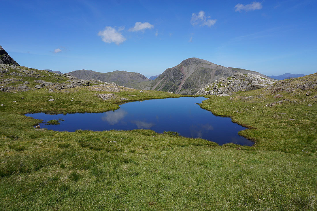
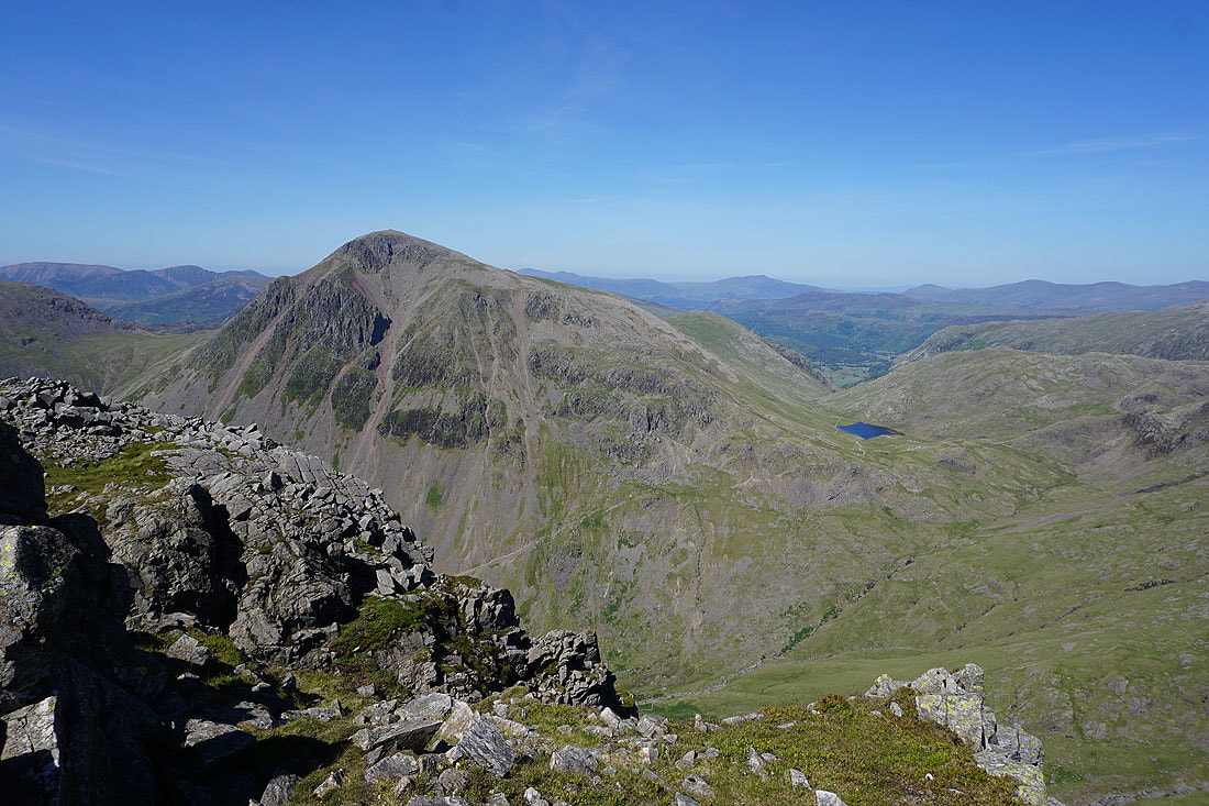
Blue pool and Great Gable
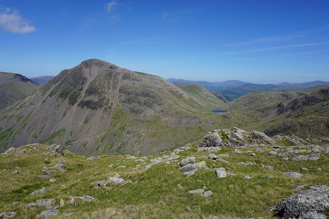
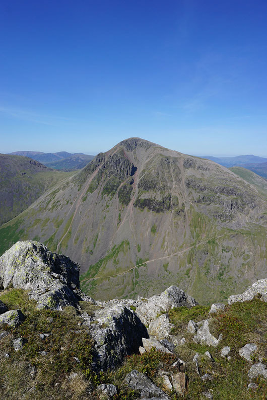
Great Gable from Middleboot Knotts
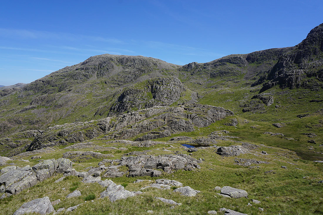
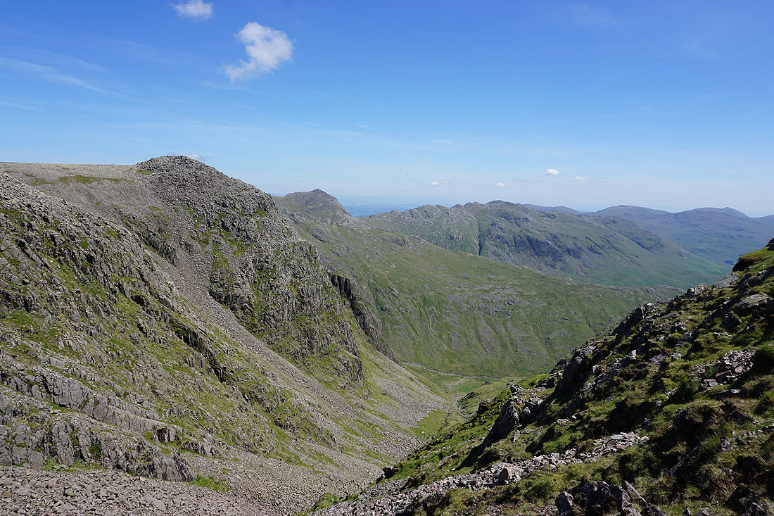
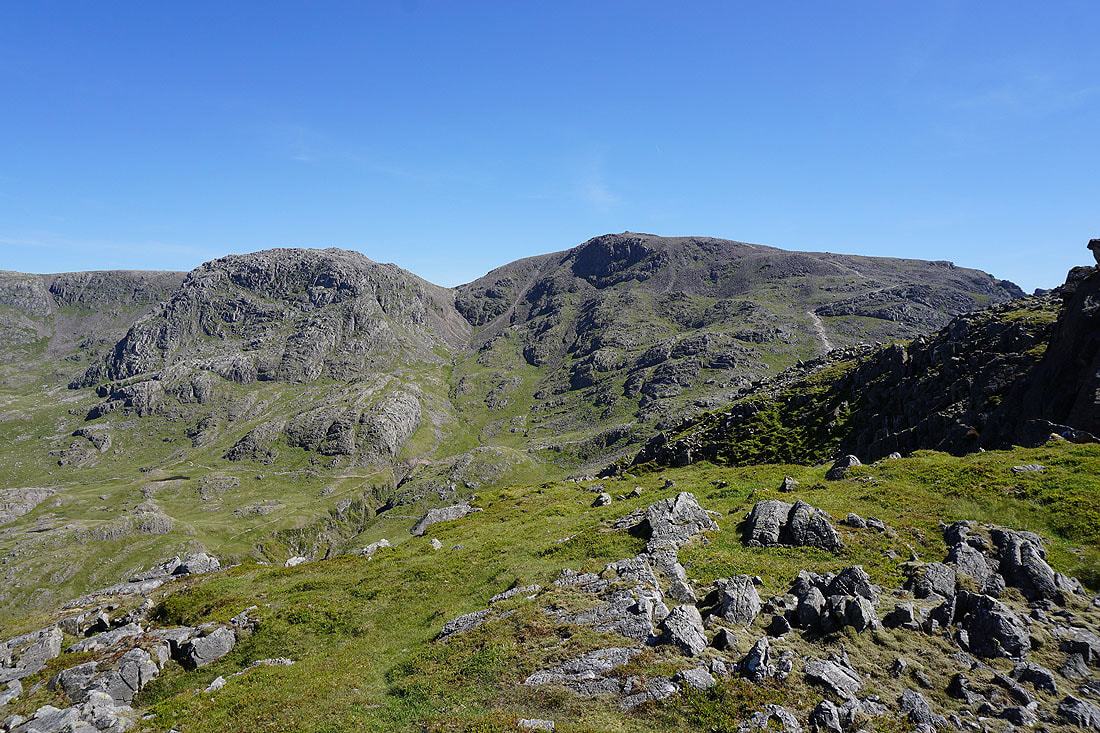
Great End
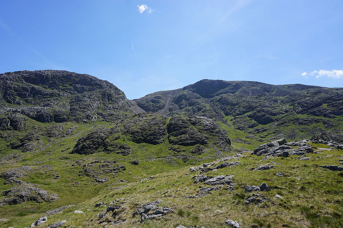
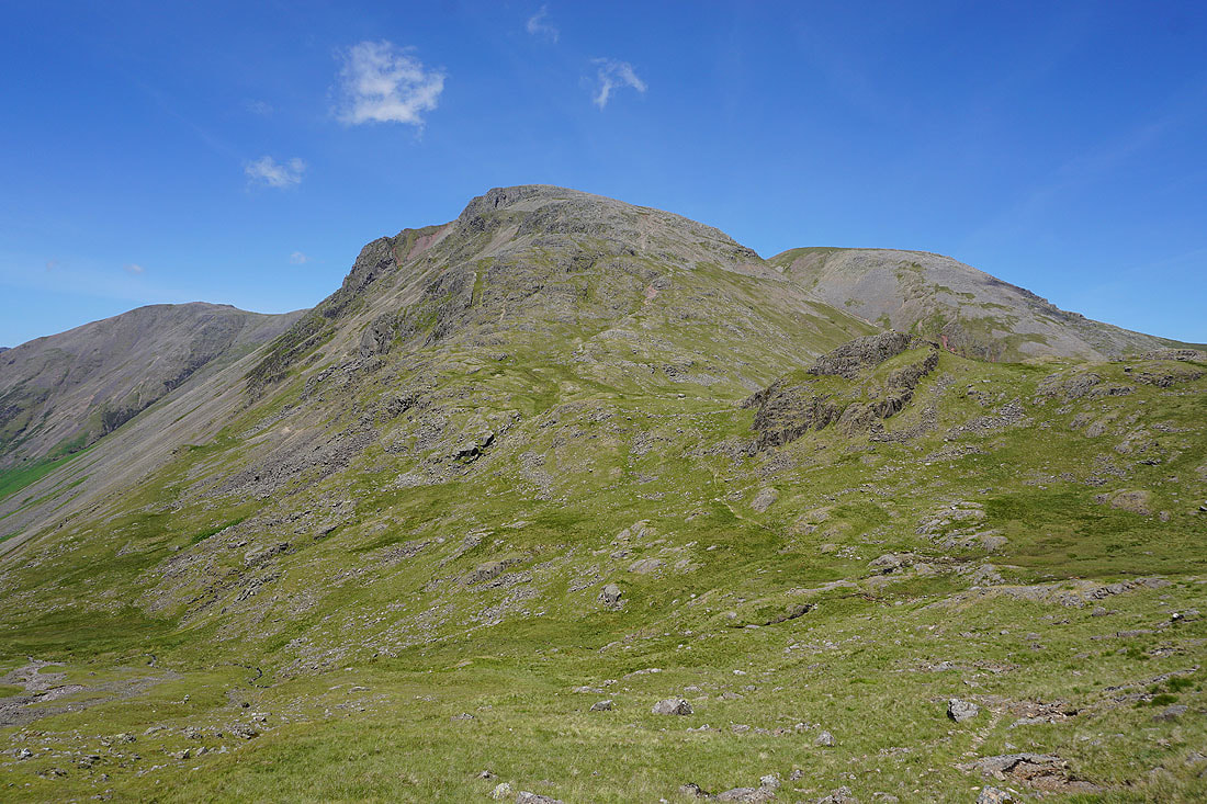
Broad Crag and Scafell Pike
At the top of Piers Gill

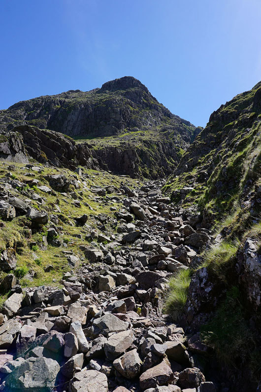
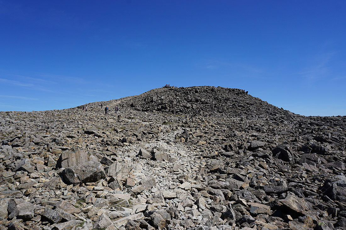
Scree ahead as I climb towards Broad Crag col
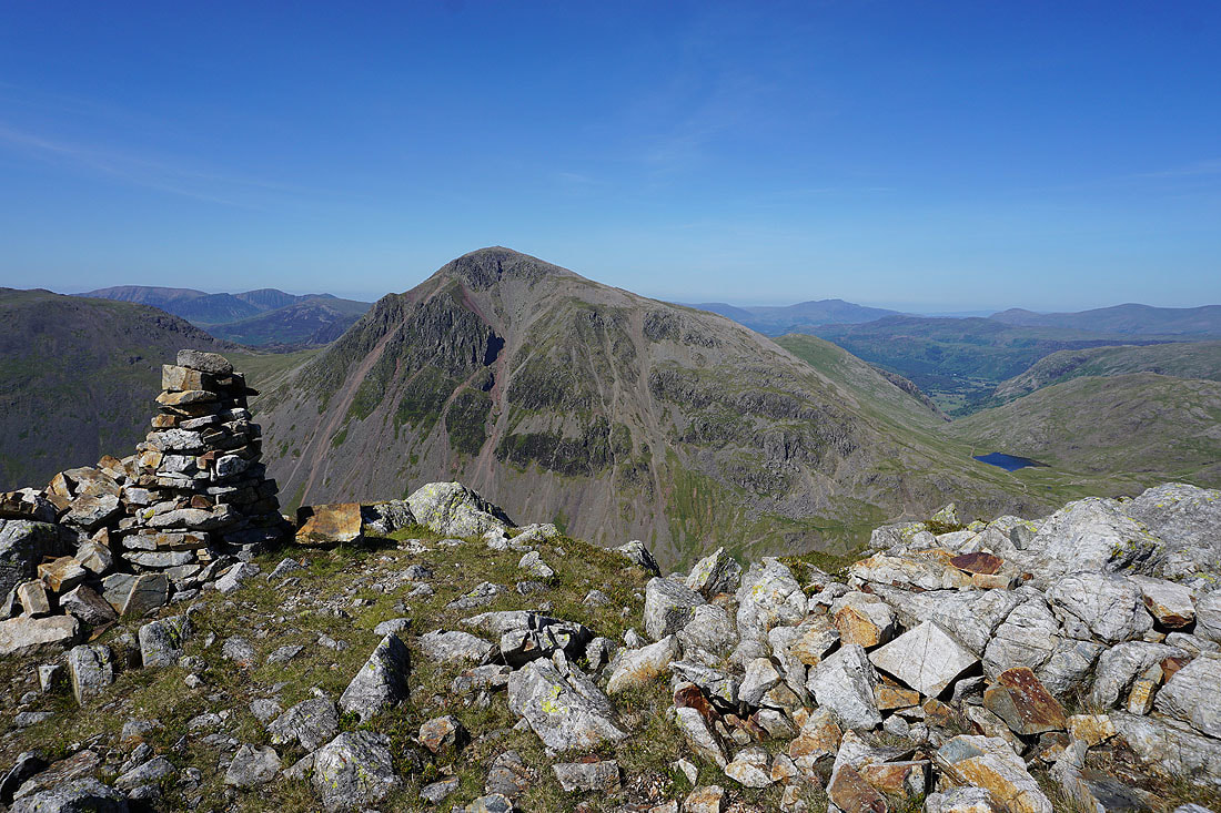
If I turn around I have a great view of Lingmell and Great Gable
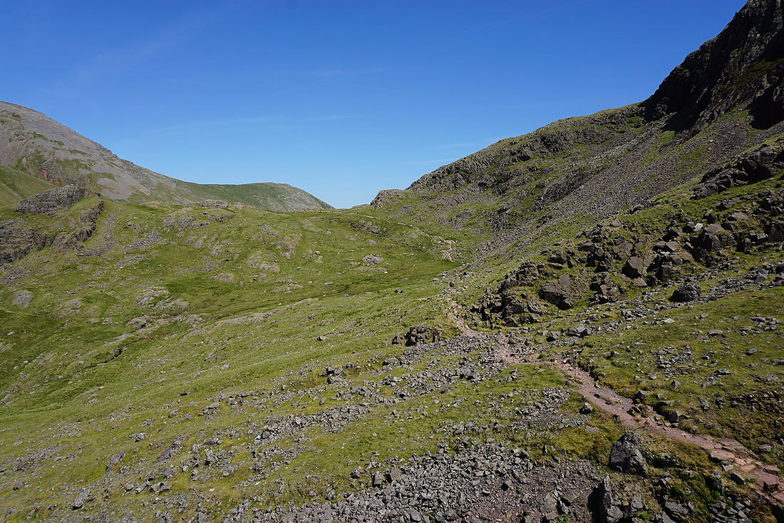
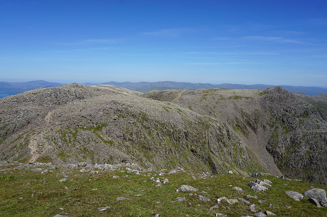
Ill Crag, Bowfell and Crinkle Crags from Broad Crag col
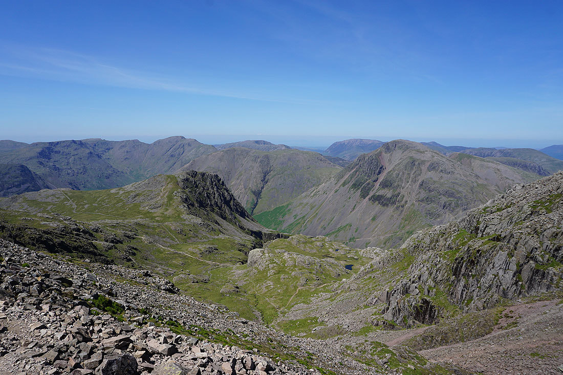
Red Pike, Pillar, Lingmell, High Stile, Grasmoor and Great Gable
Broad Crag and Ill Crag with the Helvellyn range and Fairfield in the distance as I climb up Scafell Pike
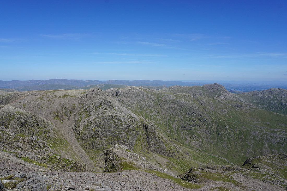
After visiting the summit cairn on Scafell Pike and taking a break I've made my way across to the south top. There's a great view from it. Ill Crag, Esk Pike and Bowfell with Helvellyn and Fairfield in the distance.
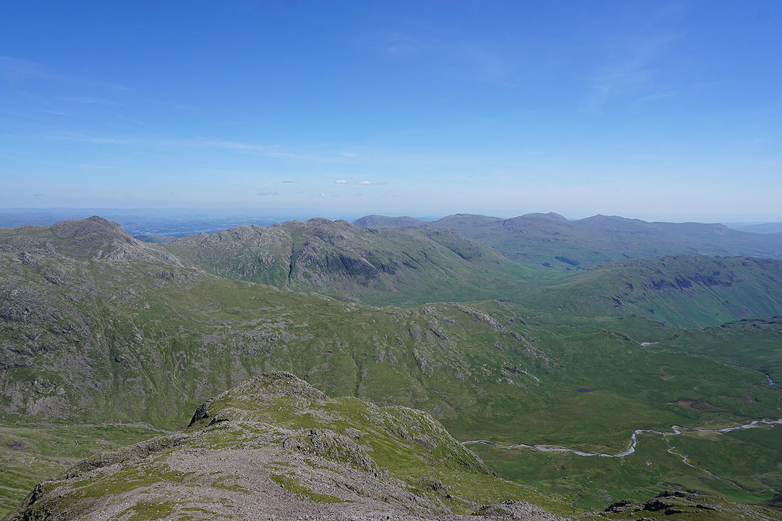
Bowfell, Crinkle Crags and the Coniston fells
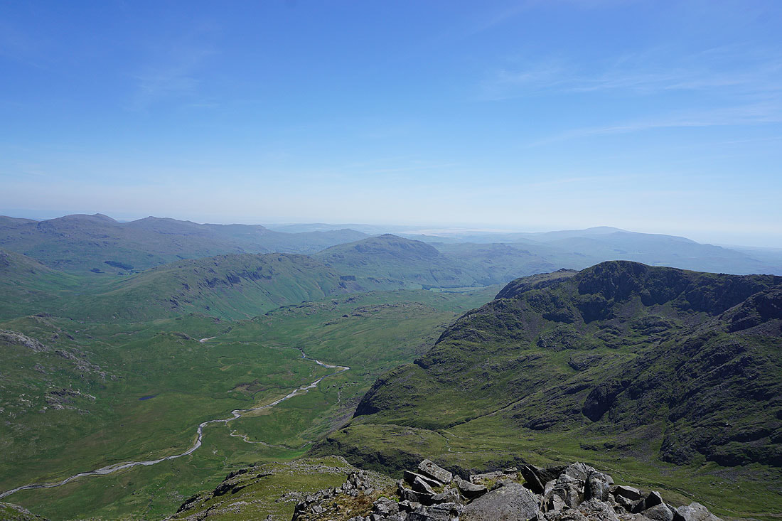
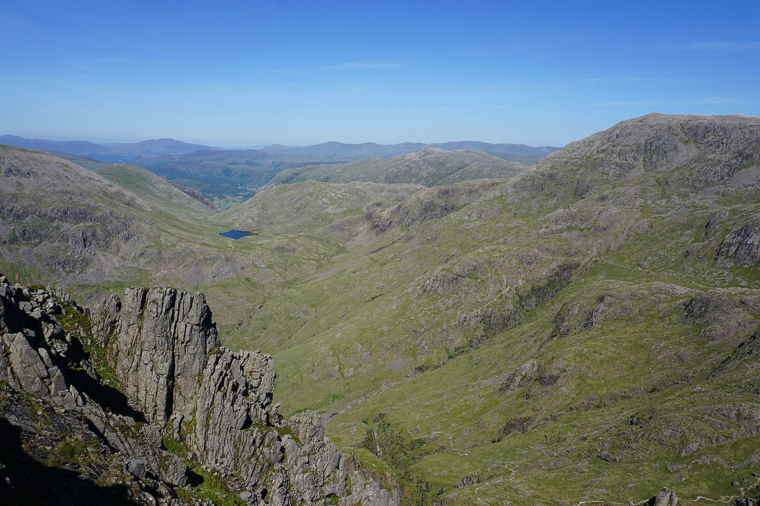
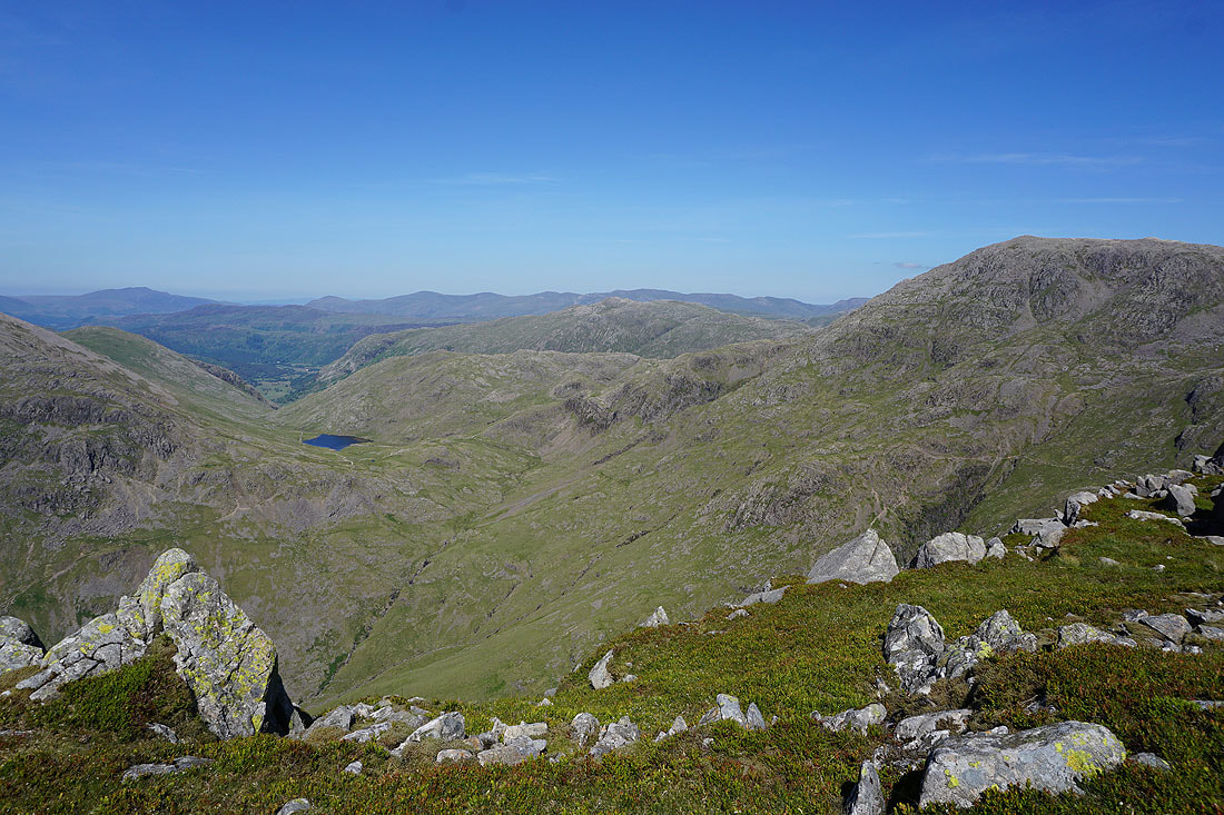
Great Moss and Eskdale below, Harter Fell and the Duddon estuary in the distance
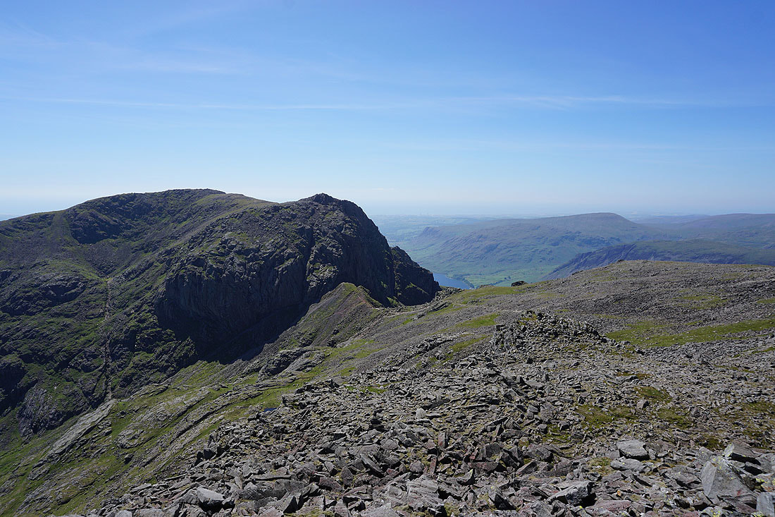
Scafell and Mickledore
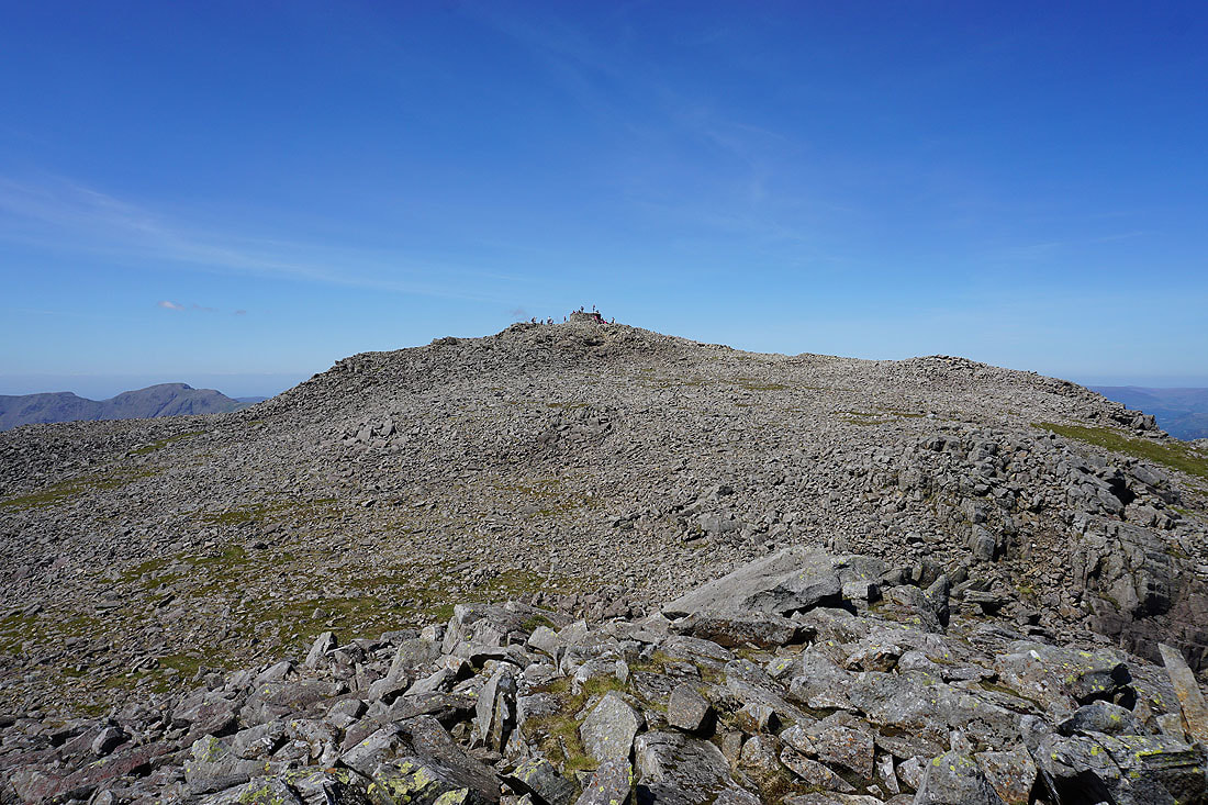
The summit cairn. It's quite busy.
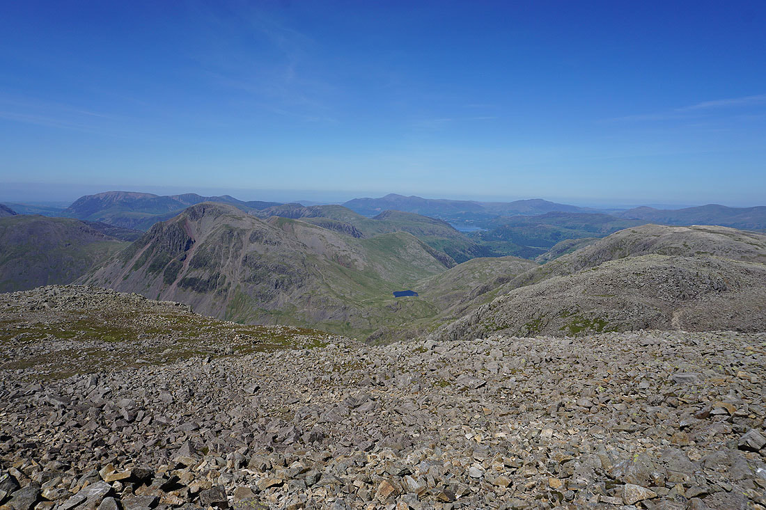
I've returned to the summit to take in the view to the west and north. The northwestern fells, Great Gable, Dale Head, Styhead Tarn, Skiddaw, a bit of Derwent Water, Blencathra, Broad Crag and Great End.
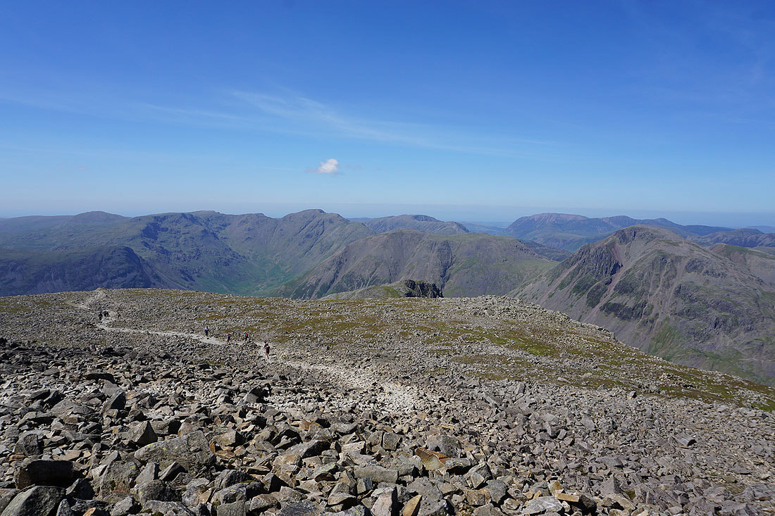
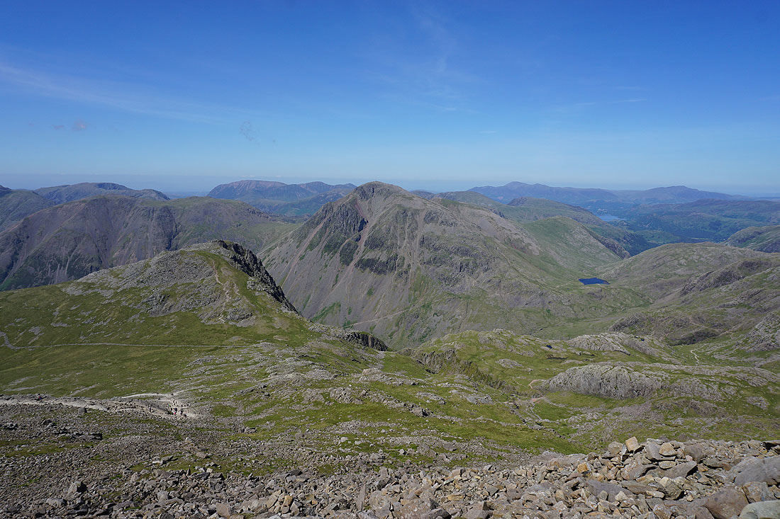
Red Pike, Scoat Fell, Mosedale, Pillar, High Stile, Kirk Fell, Grasmoor and Great Gable along with the path to Lingmell Col
Looking back to the summit as I take that path
High Stile, Kirk Fell, Lingmell, the northwestern fells, Great Gable, Dale Head, Styhead Tarn, Skiddaw, a bit of Derwent Water and Blencathra as I head down to Lingmell Col
A diamond shaped Styhead Tarn as I head up Lingmell
From here I can follow the line of the Corridor Route from Sty Head along the flank of Great End
Broad Crag and Scafell Pike
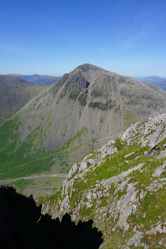
Great Gable is an impressive mountain from this angle as I approach the summit of Lingmell...
Styhead Tarn, Seathwaite Fell, Glaramara and Great End with Blencathra and the Helvellyn range in the distance
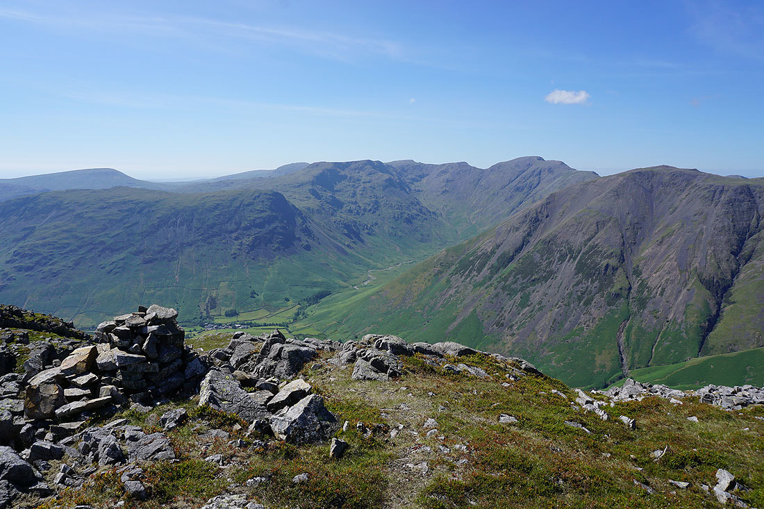
Seatallan, Yewbarrow, Red Pike, Mosedale, Pillar and Kirk Fell
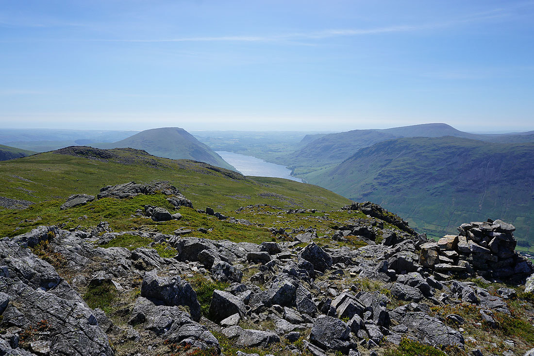
Illgill Head, Wast Water and Seatallan
Another shot of Great Gable as I pass the top of a gully
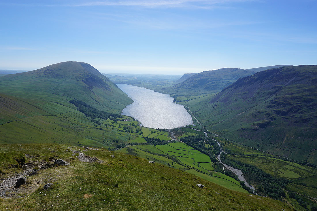
The whole of Wast Water in view as I start the descent back to Wasdale
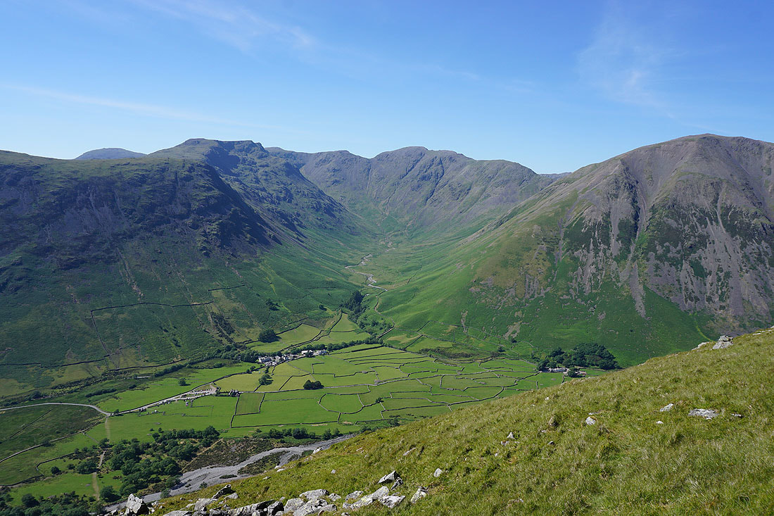
Wasdale Head and the fells of the Mosedale Horseshoe
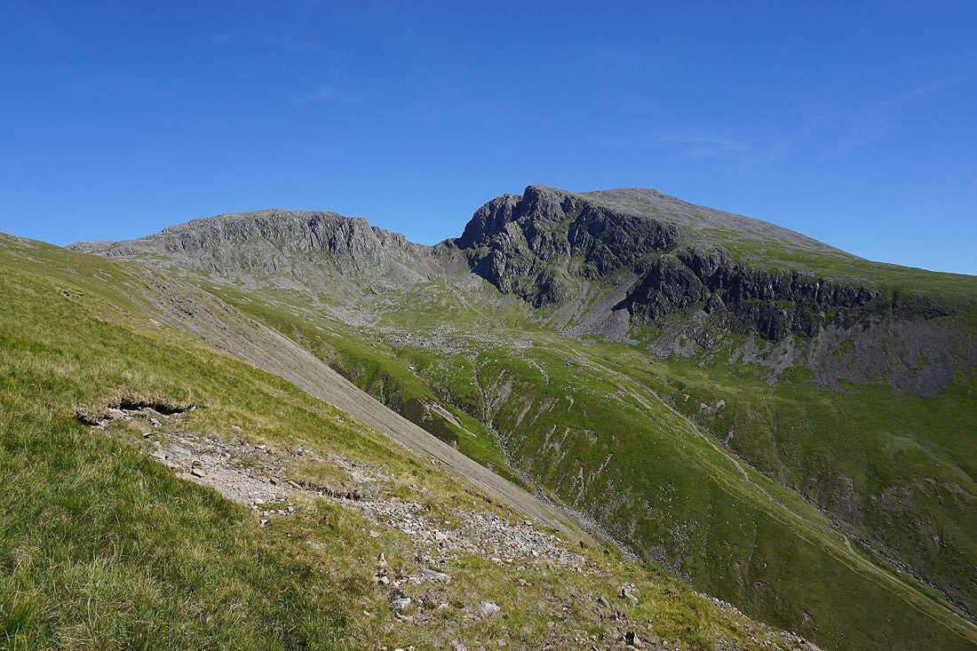
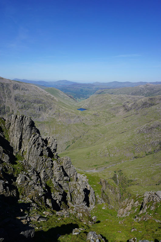
Pikes Crag and Scafell Crag
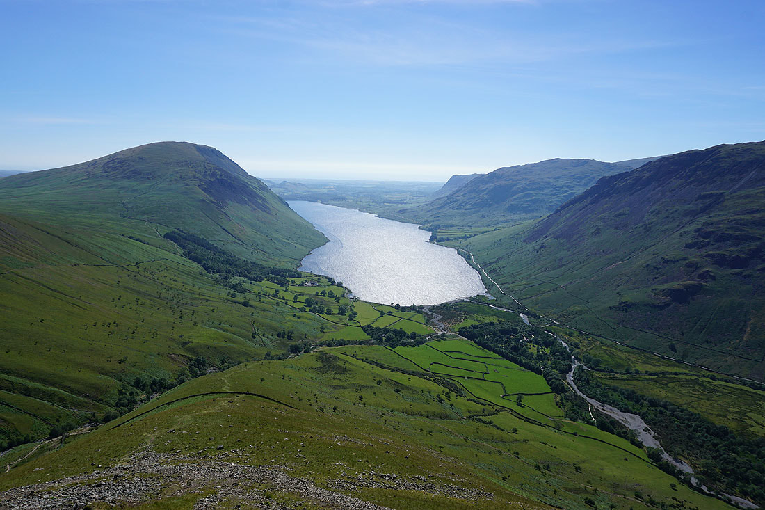
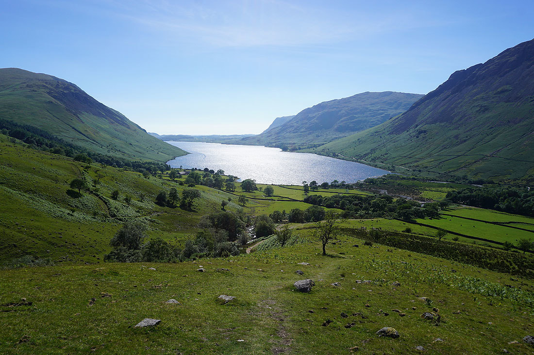
I love that view of Wast Water with the late afternoon sun shining on it..
A last shot of Kirk Fell and Great Gable before I enter the trees around the NT car park
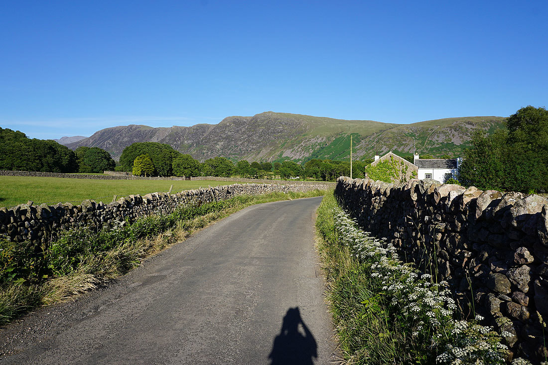
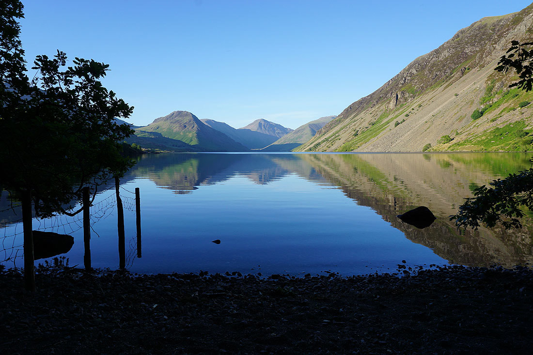
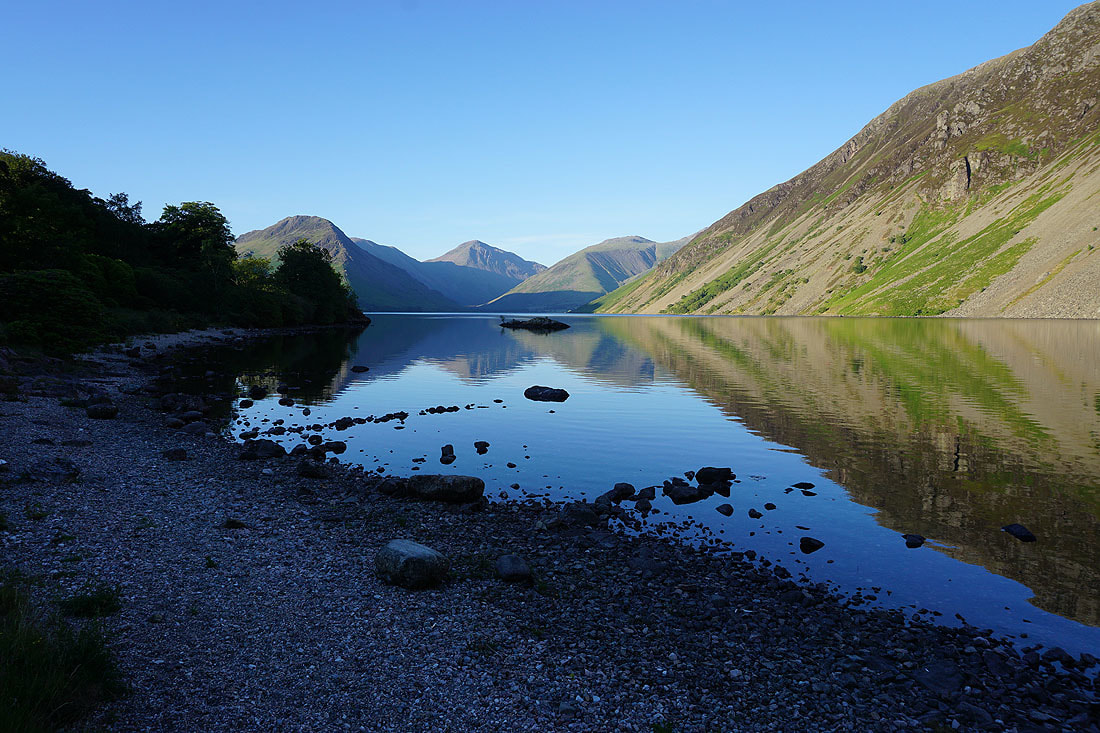
It's later in the evening and I'm walking from Nether Wasdale to Wast Water and back. I did this yesterday but the weather today is much better so I didn't bother putting any of yesterday's photos in its report. The Wastwater Screes as I leave Nether Wasdale.
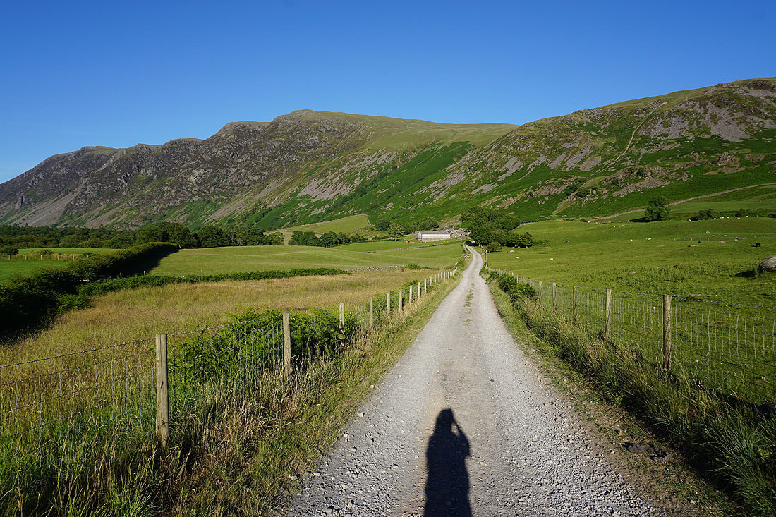
and again from the track to Easthwaite Farm
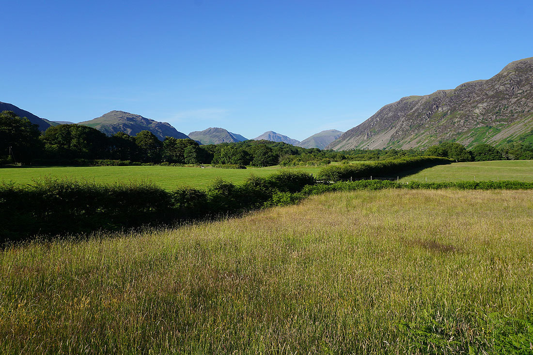
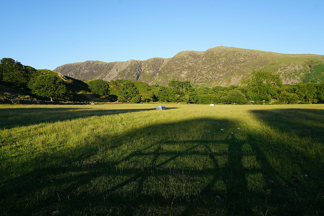
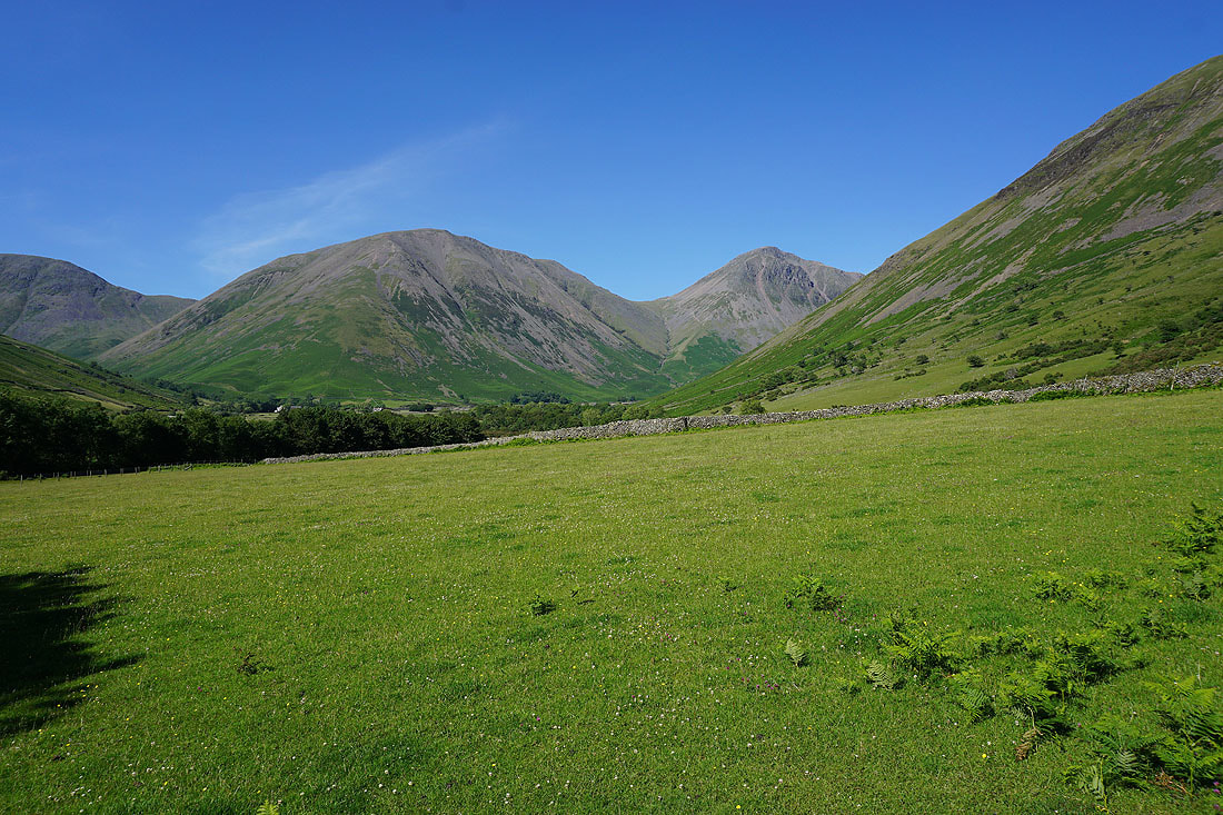
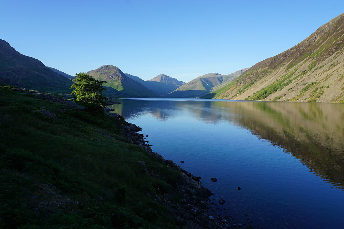
If I turn to the left there's a great view of the fells around the head of Wasdale
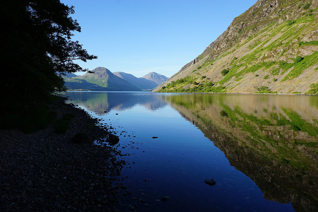
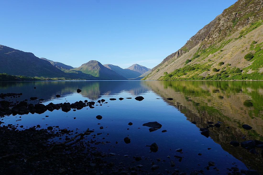
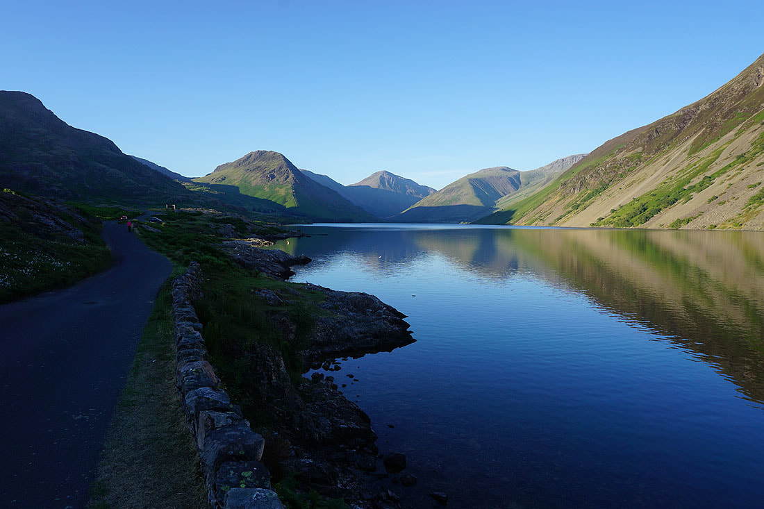
Wast Water as I follow the shoreline path next to Low Wood to the road to Wasdale Head......
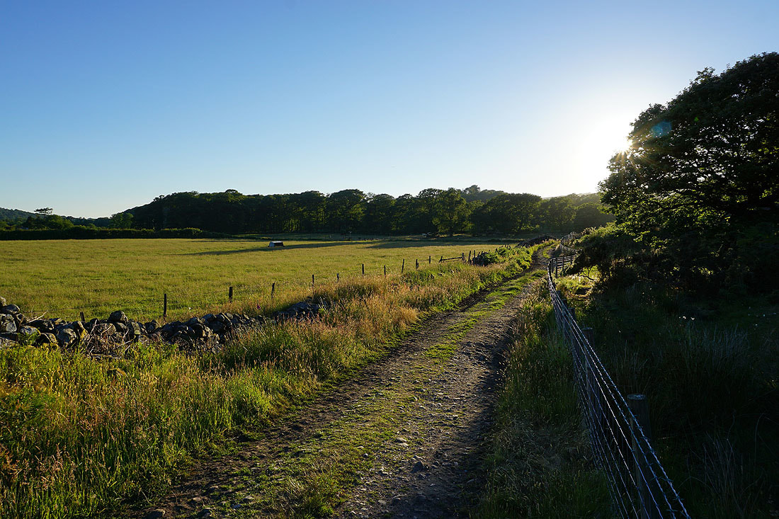
Lengthening shadows as I head back to Nether Wasdale..